







Weserbergland Trail, 3rd Stage: Alternative Route

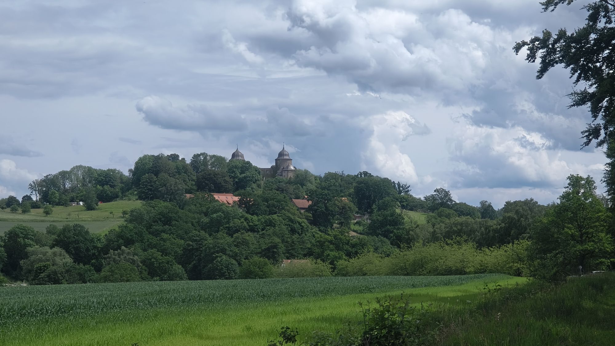
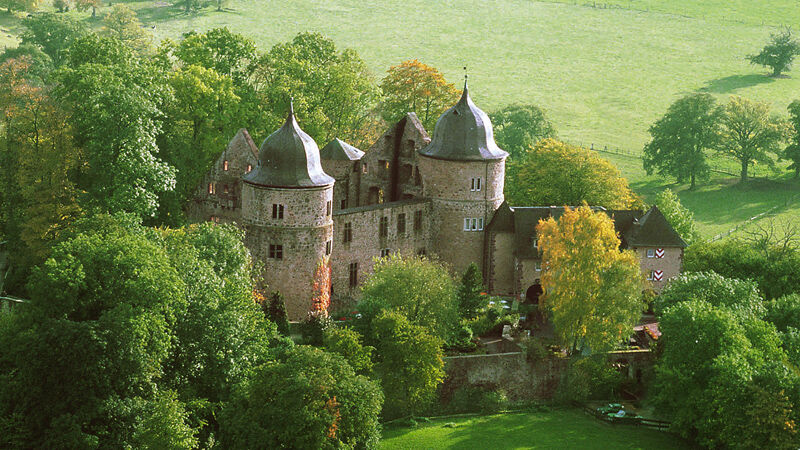
On the third stage, there is another opportunity to visit the Sleeping Beauty Castle Sababurg with its animal park and the 92 ha primeval forest before continuing on the alternative route - slightly shortened...
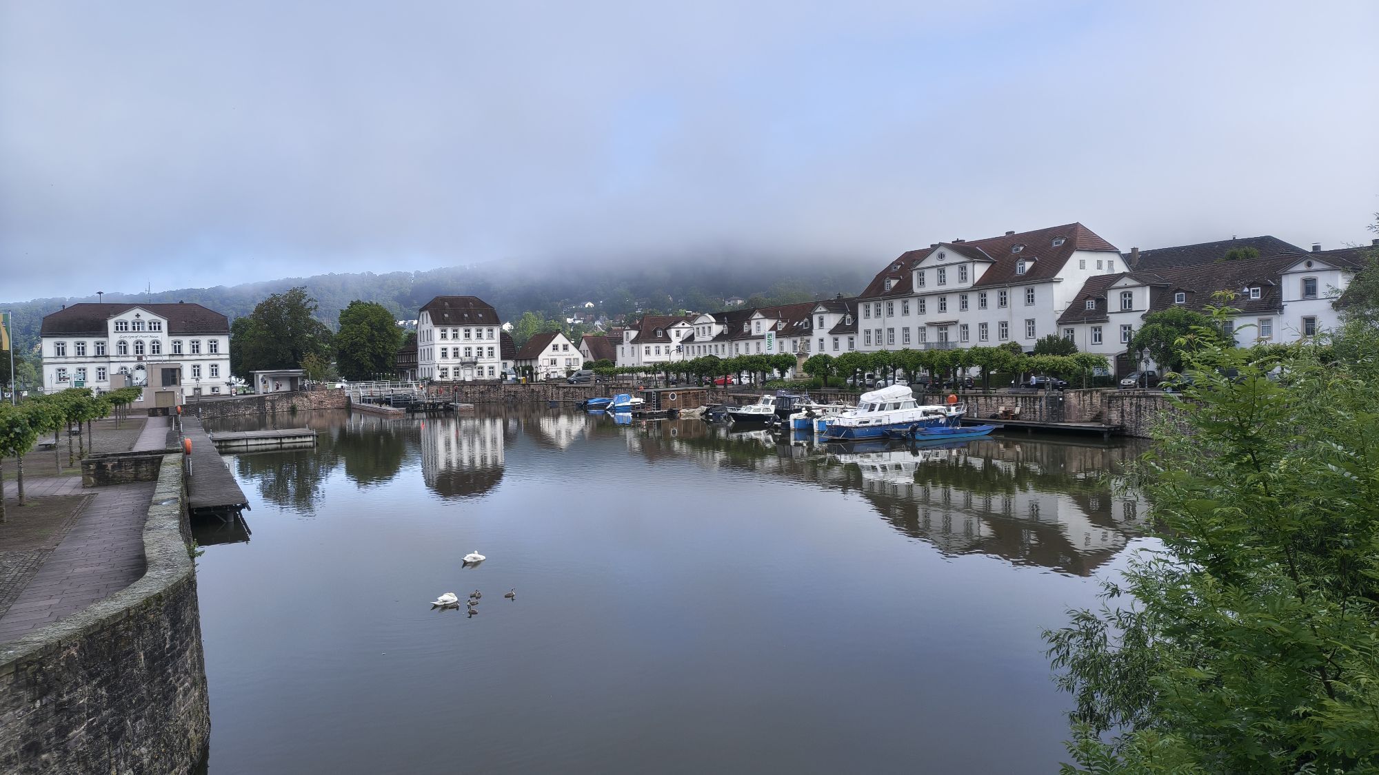
On the third stage, there is another opportunity to visit the Sleeping Beauty Castle Sababurg with its animal park and the 92 ha primeval forest before continuing on the alternative route - slightly shortened compared to the main route - with 18.7 km of hiking to the baroque town of Bad Karlshafen.
The Weserbergland-Weg XW leads through the Reinhardswald via Gottsbüren and further north towards Gieselwerder. Shortly before the descent to Gieselwerder, this alternative route of the XW branches off to bypass the Sankt-Georgen-Grund and Gieselwerder, which can be difficult to traverse depending on the weather. In rainy, wet weather, we recommend this alternative route as there are many slippery spots in the Sankt-Georgen-Grund section where caution is advised.
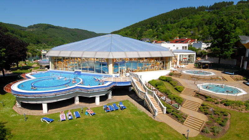
Advantage of the alternative route: It saves some elevation meters and about 1.3 km of hiking distance. The stage destination of the third day of hiking is the baroque town of Bad Karlshafen, the town with the hot springs and the wellness oasis "Weser-Therme" - ideal for relaxing after a strenuous day of hiking.


Information on various travel options can be found here.
Information on public transport on the Weserbergland-Weg can be found here.
Tak
Popularne wycieczki w okolicy
-
5,0
Weser-Radweg, 1. Etappe: Von Hann. Münden bis Höxter
średniJazda na rowerze 70,7 km -
Drenke - Handwerkerwald - Drenke
światłoWędrówka 6,01 km -
5,0
Lunauborn (Schö 1)
średniWędrówka 9,27 km -
Rund um den Wildberg
średniWędrówka 12,1 km -
5,0
Urwald Sababurg - Rundweg (orange/Eichenblatt)
światłoWędrówka 2,61 km -
Habitat route - The Hutewald in Solling demonstration enclosure and observation tower
Trasa tematyczna 5,91 km -
Biken und Pilgern auf dem Weserradweg
Jazda na rowerze 73,4 km -
Höxter | Zu Besuch in Hessen
światłoJazda na rowerze 48,0 km -
Erlesene Natur: Wo der Bock zum Gärtner wird
ciężkiWędrówka 12,7 km -
Höxter | Fährmann hol über
światłoJazda na rowerze 16,1 km
Wędrówki i tropienie


Nie przegap ofert i inspiracji na następne wakacje
Twój adres e-mail została dodana do listy mailingowej.





