







The Montagne de Fignières
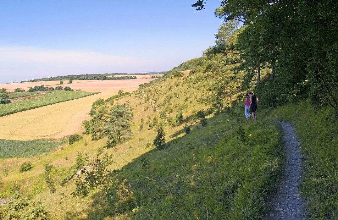
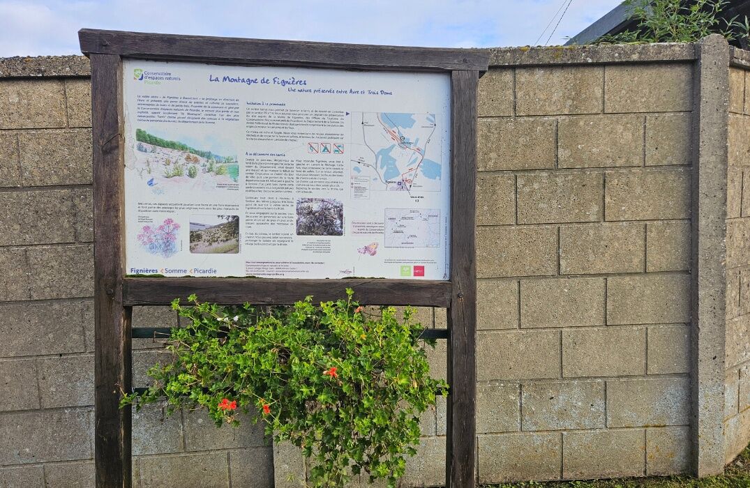
East of the Somme, the Montagne de Fignières is an invitation to discover a larris in a very well-preserved state. A landscape from yesteryear unfolds there, full of colors and variety.Meet in Fignières...
East of the Somme, the Montagne de Fignières is an invitation to discover a larris in a very well-preserved state. A landscape from yesteryear unfolds there, full of colors and variety.
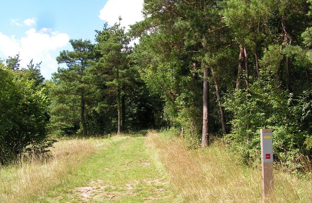
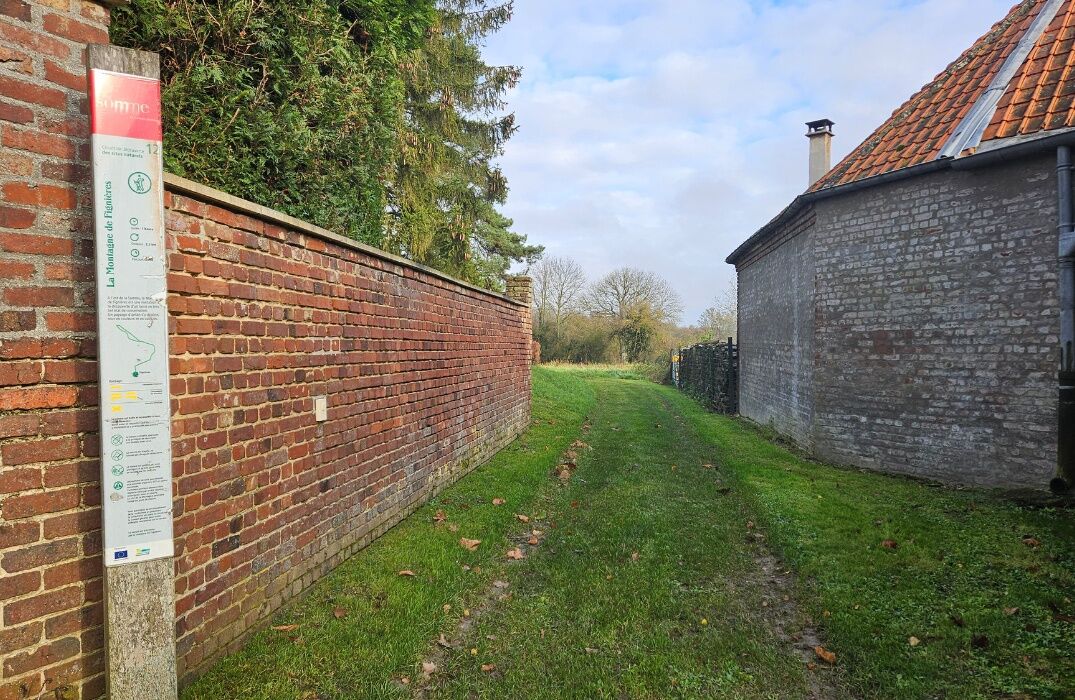
Meet in Fignières to start the walk. The starting point is located near the church. Following the signs, you will take the city tour path,
then turn at the entrance of a small wood. After this sheltered section, you will walk along the pastures and emerge into a small clearing. Continue straight again in the shade of the beeches. At the exit of the underwood, you will discover a very beautiful viewpoint over the dry valley of Fignières and the larris.


Popularne wycieczki w okolicy
-
Three Doms Circuit (Loop A)
światłoDroga rowerowa 44,0 km -
From the Somme to the Santerre
światłoDroga rowerowa 68,7 km -
Circuit of the 3 Doms (Loop B)
światłoDroga rowerowa 39,5 km -
Le Val de Noye - Loop A (South)
światłoDroga rowerowa 30,7 km -
Autour d'Ainval
światłoWędrówka 10,4 km -
Guerbigny - Lignières - Église Saint-Martin - Église Saint-Marie-Madeleine
średniWędrówka 11,1 km -
Corbie - Église Notre-Dame-de-la-Nativité - Abbatiale Saint-Pierre - Mont Thabor
średniDroga rowerowa 82,9 km -
Rocquencourt - Église Saint-Nicolas - Église Notre-Dame - Mont Soufflard
średniMountainbike 57,0 km -
Coullemelle - Église Notre-Dame - Mont Soufflard - Église Saint-Nicolas
średniMountainbike 32,0 km -
Faverolles - Église Sainte-Barbe - Église Notre-Dame-de-l'Assomption - Église Saint-Pierre
średniRower szutrowy 52,8 km
Wędrówki i tropienie


Nie przegap ofert i inspiracji na następne wakacje
Twój adres e-mail została dodana do listy mailingowej.





