Lamotte Circuit
światło
Pobierz tę trasę na swój telefon komórkowy
Lamotte Circuit
światło
Wędrówka
11,43
km
Zeskanuj kod QR i rozpocznij nawigację w aplikacji bergfex.

Wędrówki i tropienie


Lamotte Circuit
światło
Odległość
11,43
km
Czas trwania
02:57
h
Ascent
117
hm
Poziom morza
18 -
111
m
Ścieżka do pobrania
Lamotte Circuit
światło
Wędrówka
11,43
km
Nestled between land and sea, the Lamotte circuit starting from Ault, a charming coastal resort in the Somme, offers hikers a route combining coastal landscapes, rural heritage, and preserved nature.This...
Opis
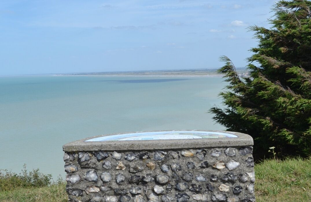
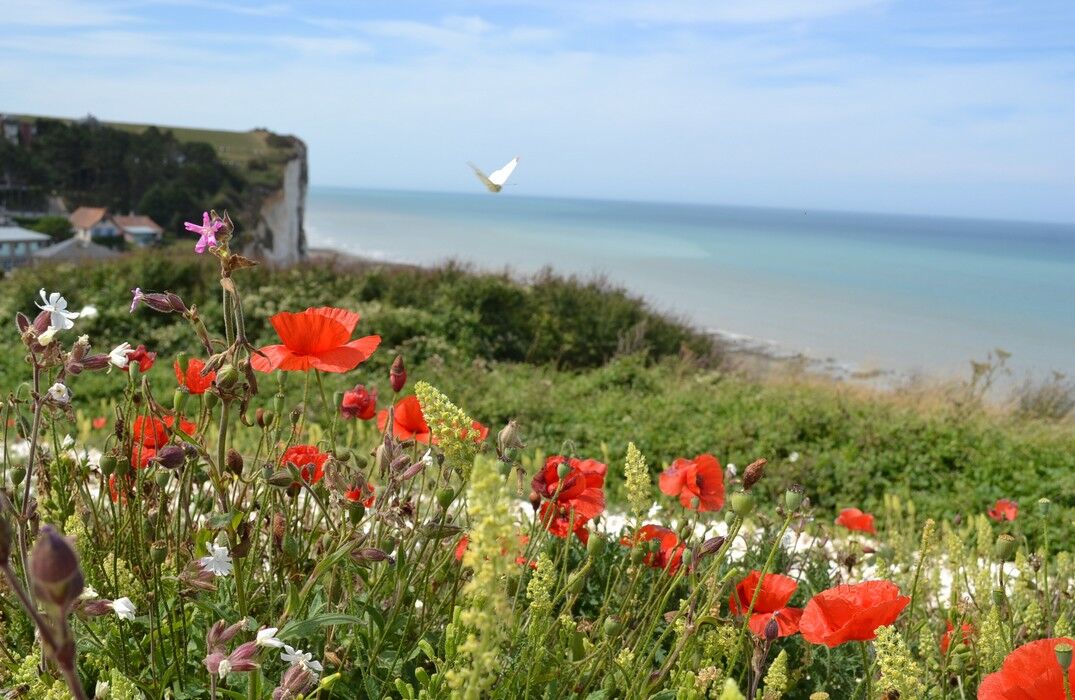
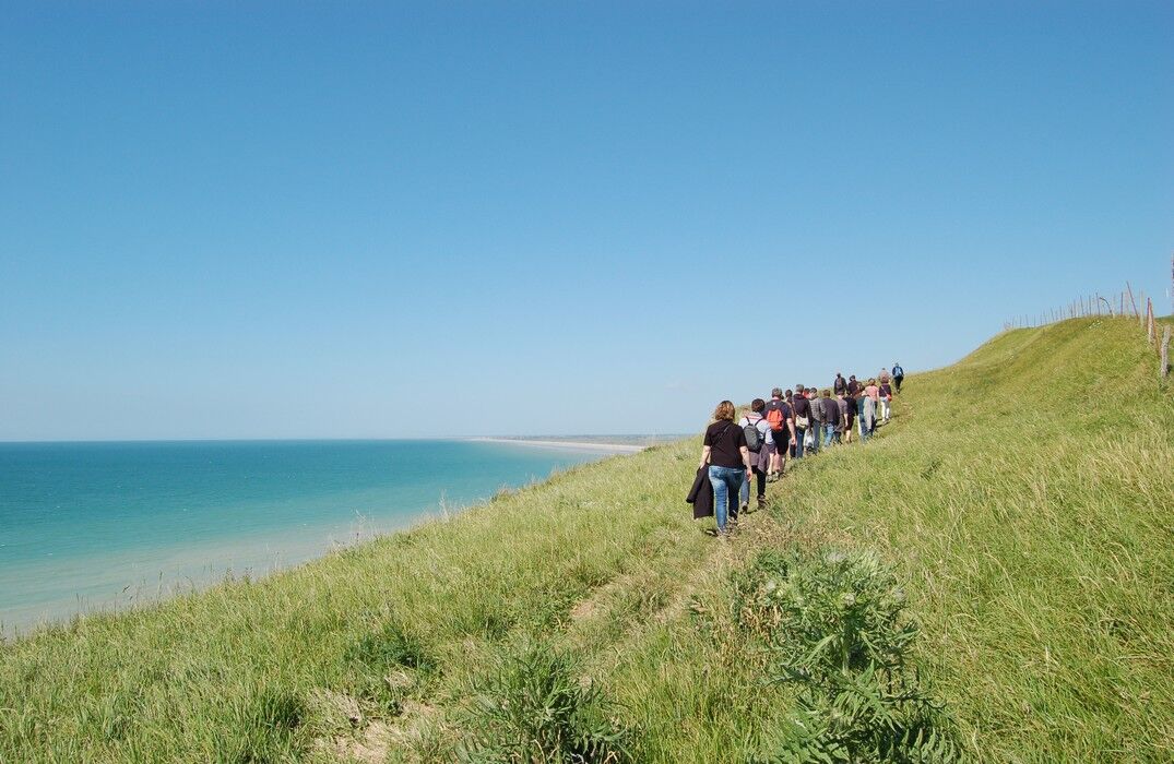
Nestled between land and sea, the Lamotte circuit starting from Ault, a charming coastal resort in the Somme, offers hikers a route combining coastal landscapes, rural heritage, and preserved nature. This marked trail of about 12 km invites you to explore the heights of the chalk cliffs and the hinterland which offers views over the endless horizon of the English Channel.
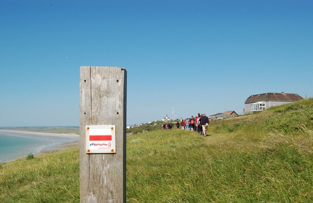
The start is from the center of Ault, a typical maritime village, next to the Saint-Pierre church. After crossing the town heading towards the sea, the trail gradually climbs south towards the Bois de Cise, offering magnificent views of the white cliffs and the sea as far as the eye can see.
The rest of the route winds between hollow paths bordered by hedges, pastures, and groves, revealing the Bois de Cise then the municipality of Saint-Quentin-Lamotte-Croix-au-Bailly (the longest commune name in France!).
Accessible to walkers of all levels, this well-marked circuit can be completed in about 2.5 to 3 hours.
Trasa
Église Saint-Pierre
(28 m)
Miejsce kultu
0,0 km
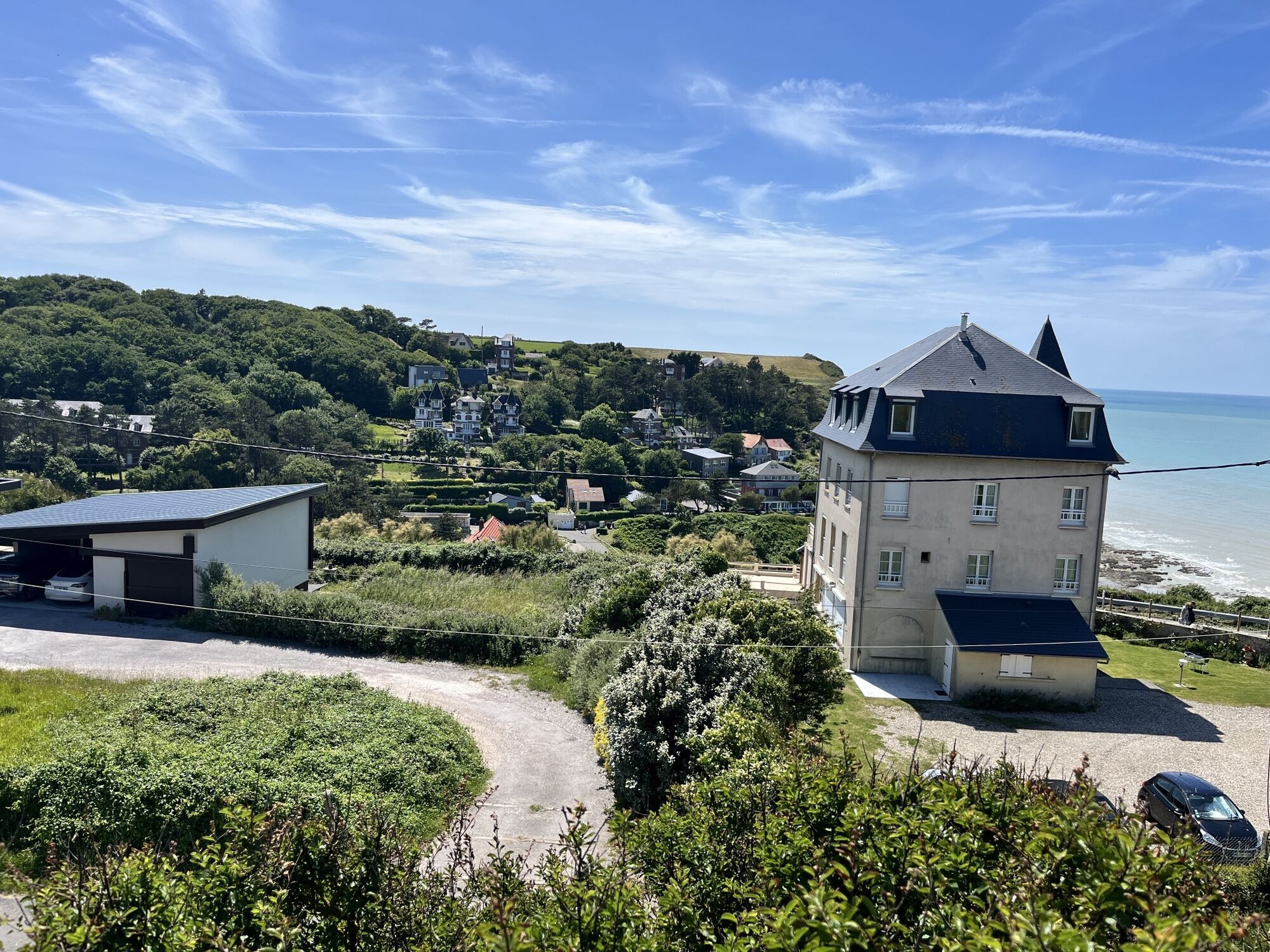
Ault
(22 m)
Wioska
0,1 km
Bois de Cise
(53 m)
Sąsiedztwo
2,3 km
Saint-Quentin-la-Motte-Croix-au-Bailly
(104 m)
Wioska
6,7 km
Église Saint-Quentin
(104 m)
Miejsce kultu
6,8 km
Église Saint-Pierre
(28 m)
Miejsce kultu
11,2 km
Trasa
Lamotte Circuit
światło
Wędrówka
11,43
km
Église Saint-Pierre
(28 m)
Miejsce kultu
0,0 km
Ault
(22 m)
Wioska
0,1 km
Calvaire
(56 m)
Punkt widzenia
0,5 km
Bois de Cise
(53 m)
Sąsiedztwo
2,3 km
Saint-Quentin-la-Motte-Croix-au-Bailly
(104 m)
Wioska
6,7 km
Église Saint-Quentin
(104 m)
Miejsce kultu
6,8 km
Église Saint-Pierre
(28 m)
Miejsce kultu
11,2 km
Ault
(22 m)
Wioska
11,3 km


Instrukcje bezpieczeństwa
In case of emergency, dial 112
Informacje o przyjeździe
Przybycie
Consider carpooling
Parking
Parking close to the starting point
Dodatkowe informacje i wskazówki
Dodatkowe informacje
Nie ma jeszcze recenzji
Popularne wycieczki w okolicy
Greenway "Path between Glass & Sea"
światłoWędrówka 35,8 kmCircuit vélo – Gravelot
średniJazda na rowerze 36,8 kmThe Baie de Somme coastal path
ciężkiWędrówka 51,3 kmThe Hâble d'Ault Bird Reserve
światłoWędrówka 6,05 kmCircuit of the Isle
światłoWędrówka 11,4 kmMésange Circuit
światłoDroga rowerowa 38,4 kmThe Vélomaritime® - EuroVelo4 - Le Tréport -> Cayeux-sur-Mer
światłoMountainbike 22,5 kmThe Tufa Crosses: Franleu - Cayeux-sur-Mer
światłoDroga rowerowa 52,0 kmThe Seagull circuit
światłoDroga rowerowa 29,0 kmCircuit du Vanneau
światłoMountainbike 30,5 km
Wędrówki i tropienie

Ponad 550.000 propozycji wycieczek, szczegółowe mapy i intuicyjny planer tras sprawiają, że aplikacja jest niezbędna dla wszystkich entuzjastów przyrody.

Nie przegap ofert i inspiracji na następne wakacje
Zapisz się do newslettera
Błąd
Wystąpił błąd. Spróbuj ponownie.Dziękujemy za rejestrację
Twój adres e-mail została dodana do listy mailingowej.
Wycieczki po całej Europie
Austria Szwajcaria Niemcy Włochy Słowenię Francja Holandia Belgia Polska Liechtenstein Czechy Słowacja Hiszpania Chorwacja Bośnia i Hercegowina Luksemburg Andorra Portugalia Islandia Wielka Brytania Irlandia Grecja Albania Macedonia Północna Malta Norwegia Czarnogóra Mołdawia Kosowo Węgry San Marino Rumunia Estonia Łotwa Białoruś Cypr Litwa Serbia Bułgaria Monako Dania Szwecja Finlandia