


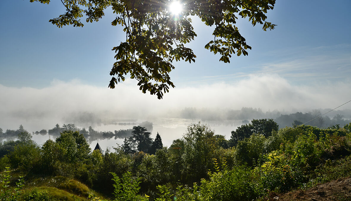
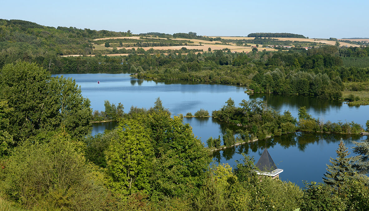
The 3 Valleys (Loop B)
A loop to discover the Somme valley and the Hallue valley.Starting from the Corbie tourist office, join Daours, then Querrieu. In Saint-Gratien, pass in front of the castle then in front of the church....
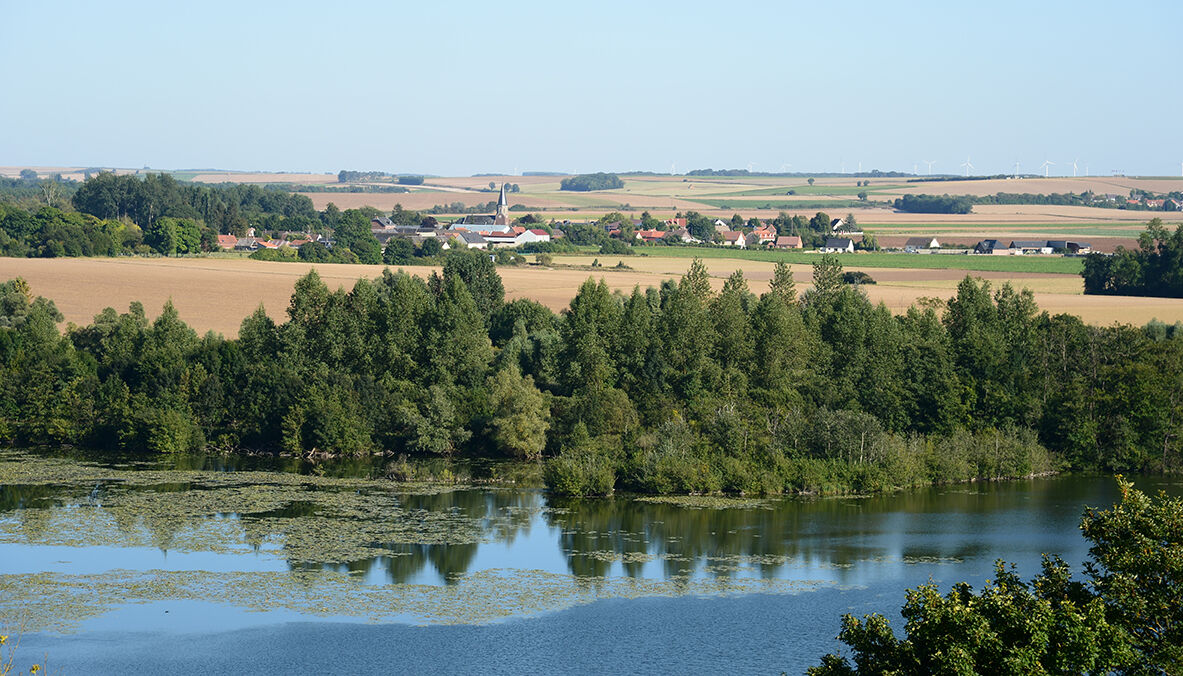
A loop to discover the Somme valley and the Hallue valley.
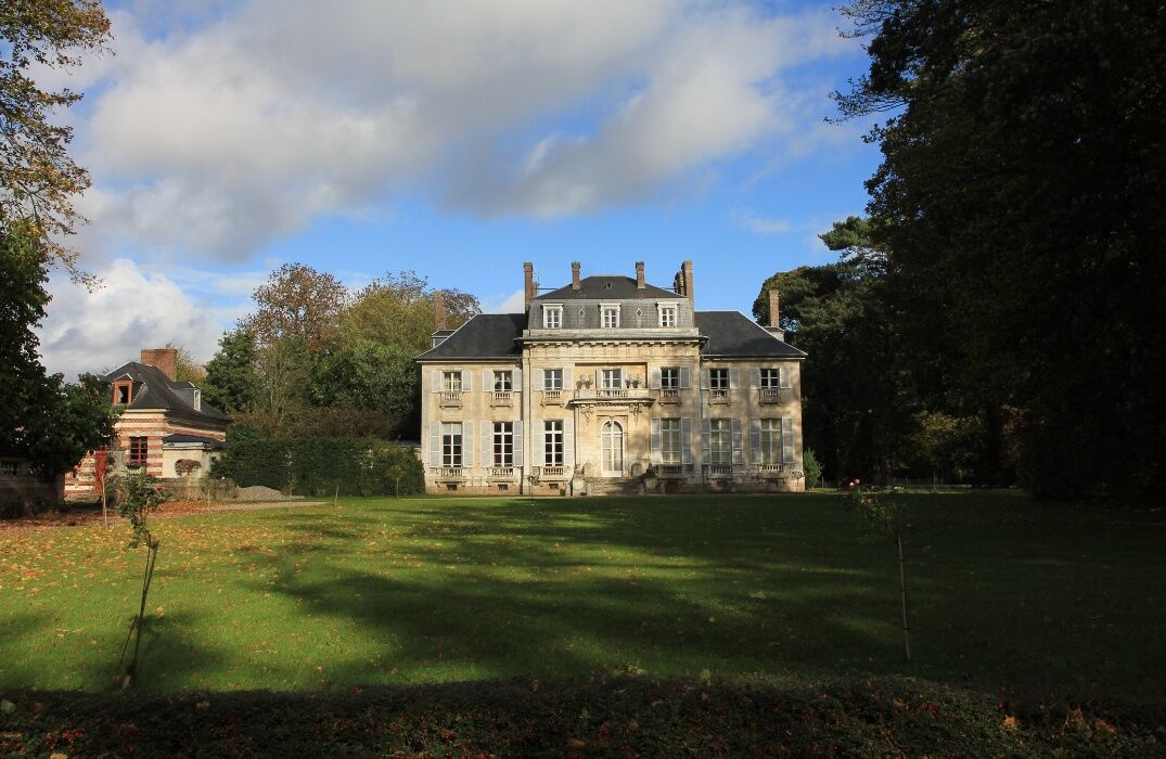
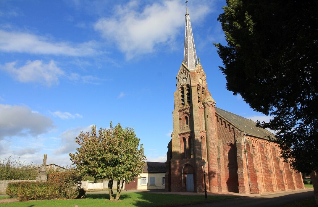
Starting from the Corbie tourist office, join Daours, then Querrieu. In Saint-Gratien, pass in front of the castle then in front of the church. In Fréchencourt, pass in front of the church to go to Montigny-sur-l'Hallue. Once in Béhencourt, head towards Lahoussoye. Return to the Corbie tourist office. To go to the Sainte-Colette Cliff viewpoint, before entering Corbie, make a detour to the Sainte-Colette statue.

Popularne wycieczki w okolicy
-
5,0
The Montagne de Vaux
światłoWędrówka 8,66 km -
GR de Pays: Battle of the Somme
światłoWędrówka 104,9 km -
GR800 Somme Trail
światłoWędrówka 224,6 km -
The Vallée de Somme Cycle Route
światłoWędrówka 190,4 km -
The Somme Valley Cycle Route
światłoJazda na rowerze 190,4 km -
La véloroute de la mémoire
średniJazda na rowerze 91,8 km -
The Meanders of Memory - Bike Rides - France World War Heritage
światłoMountainbike 132,1 km -
From Frise to Froissy
światłoKajak / Canoe 8,10 km -
The Memory Cycle Route
światłoDroga rowerowa 85,9 km -
Circuit vélo – A vélo d’Amiens à Corbie…
światłoJazda na rowerze 18,8 km

Wędrówki i tropienie


Nie przegap ofert i inspiracji na następne wakacje
Twój adres e-mail została dodana do listy mailingowej.