


Senda Alp da Munt – Alp Champatsch - Lü Cumün [SwissMobil No. 356]
Poziom trudności: 4

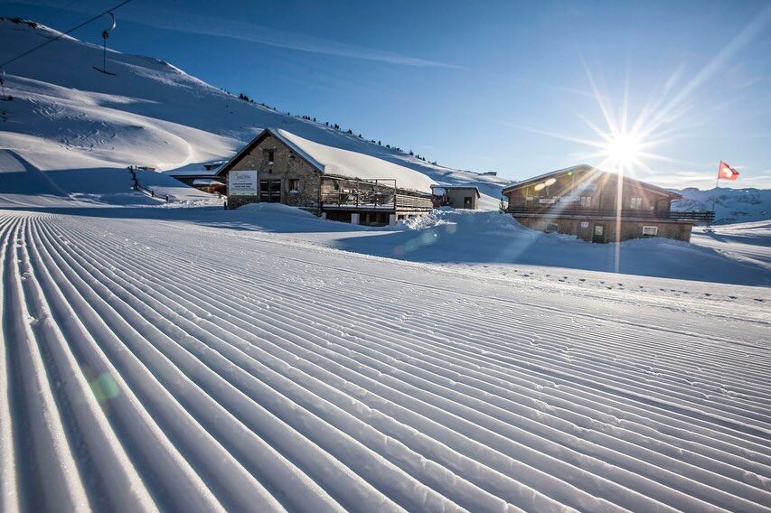
The winter panorama trail begins at the valley station of the Minschuns ski area. The well-maintained, family-friendly ski area is one of the sunniest spots in Switzerland. Four ski lifts open the area...
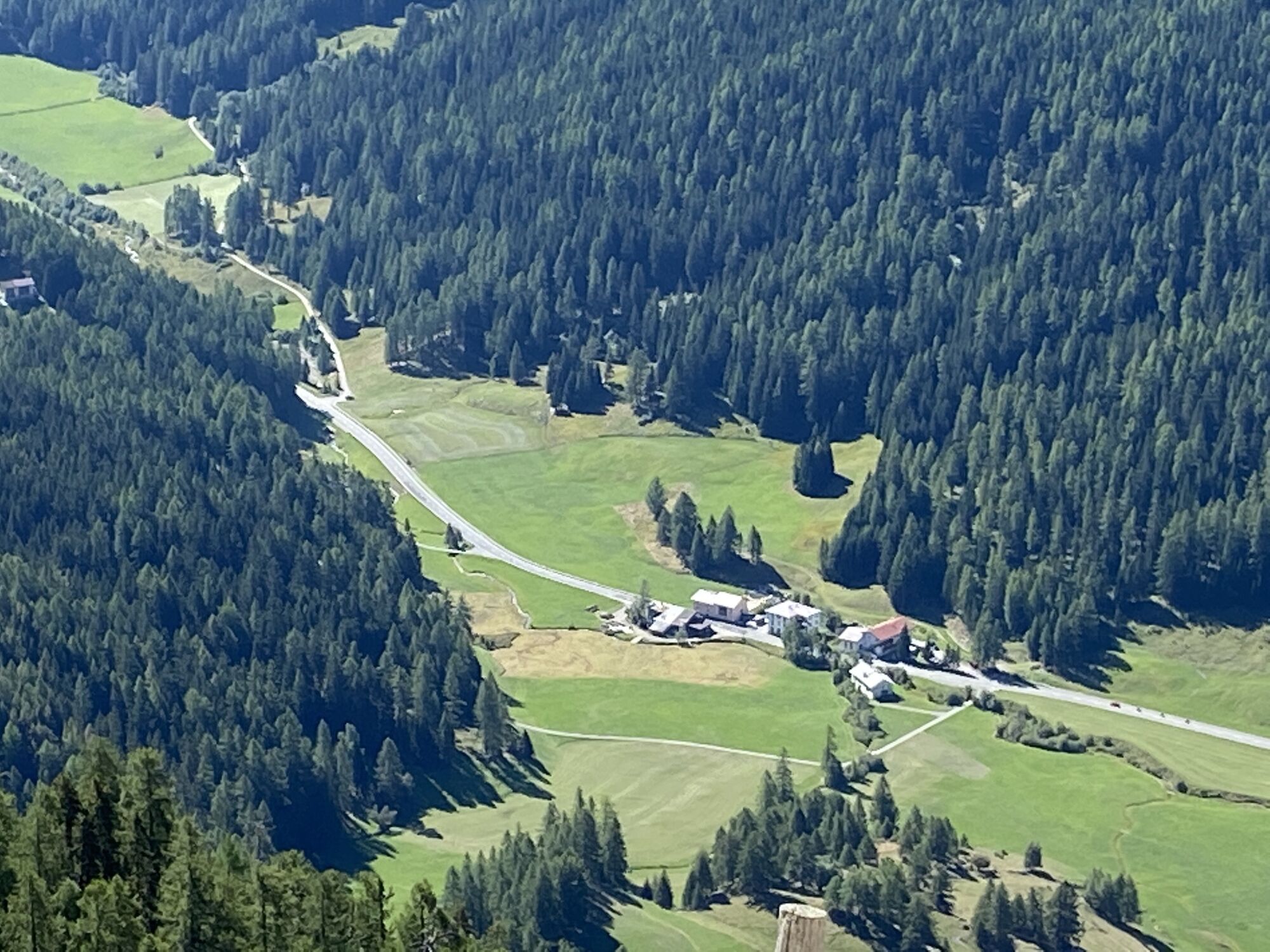
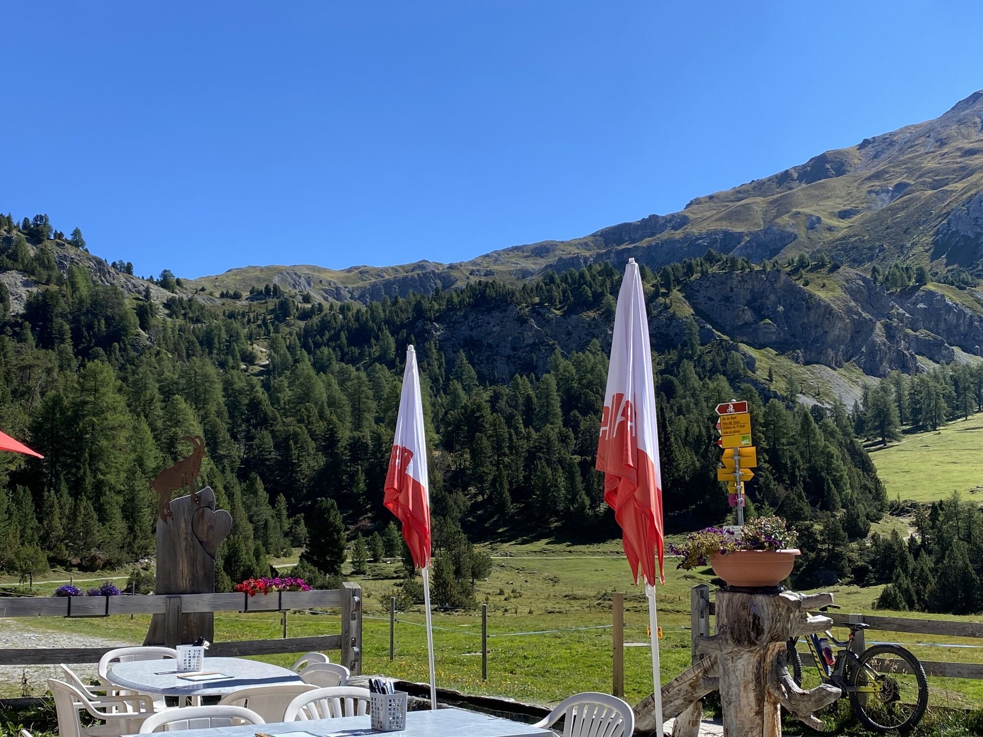
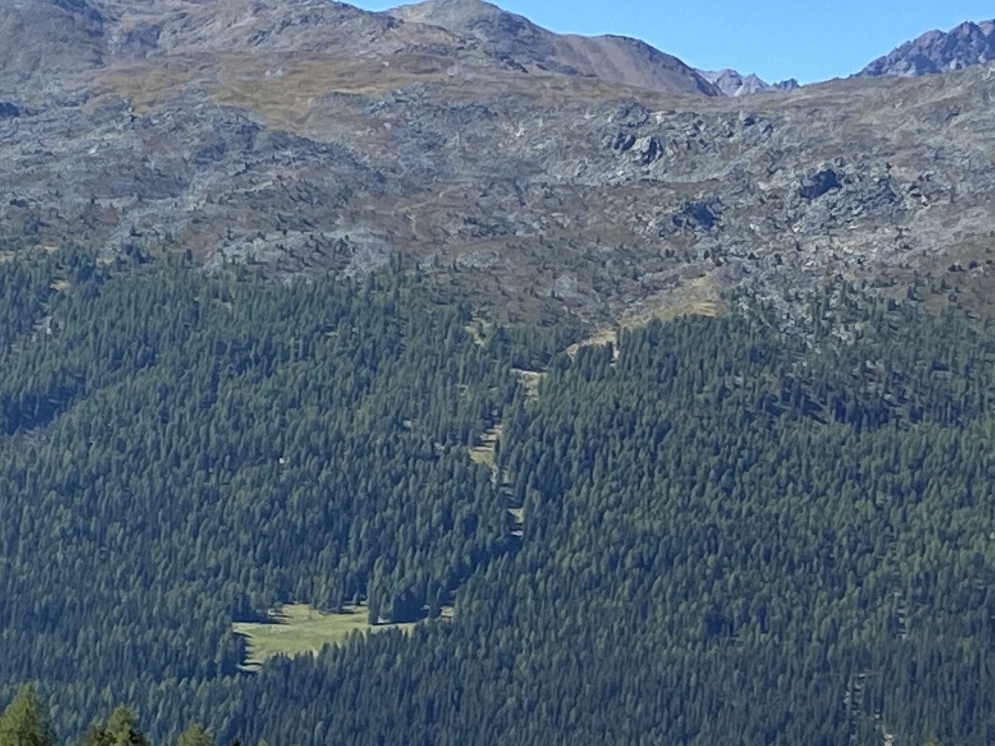
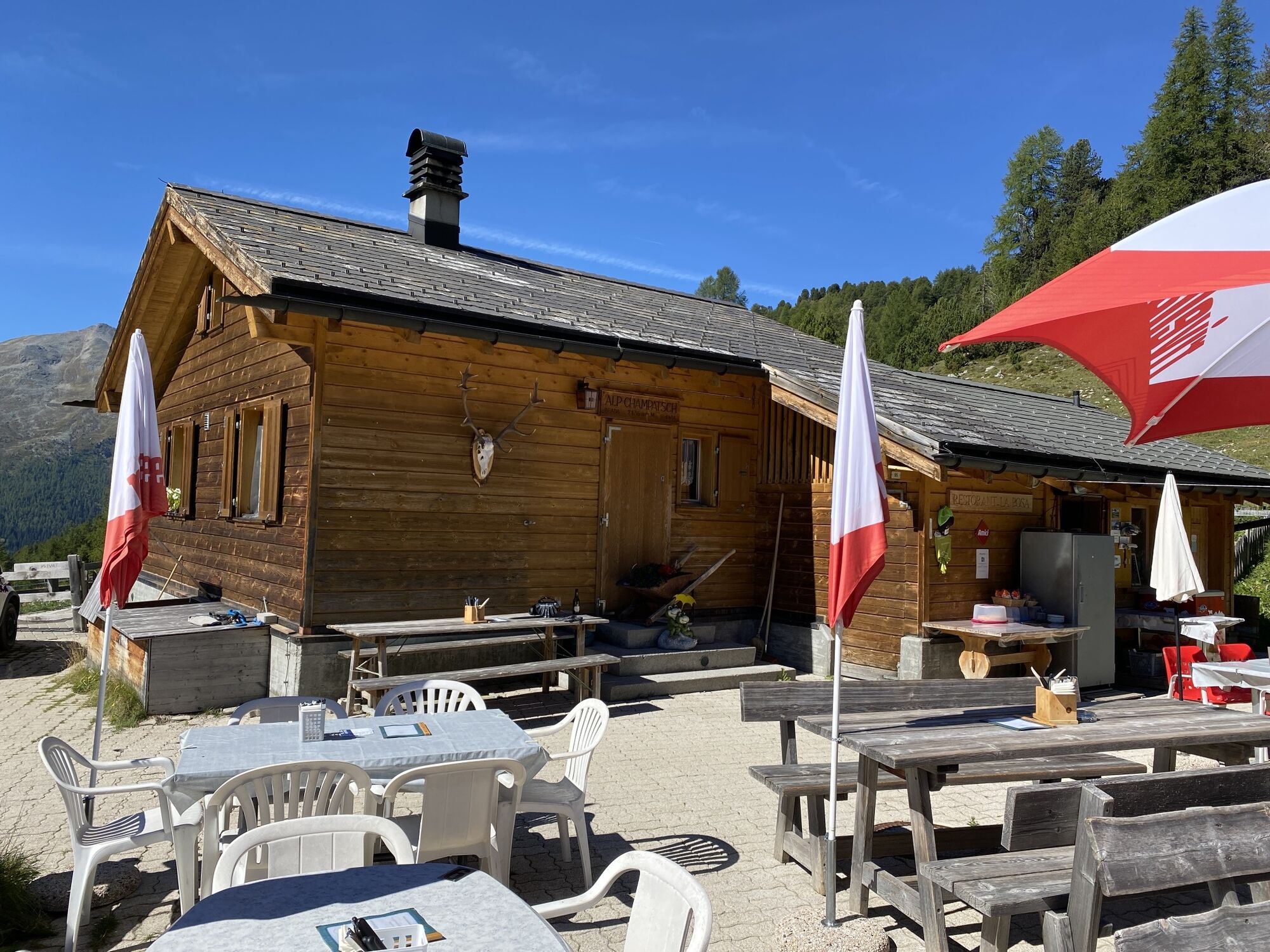
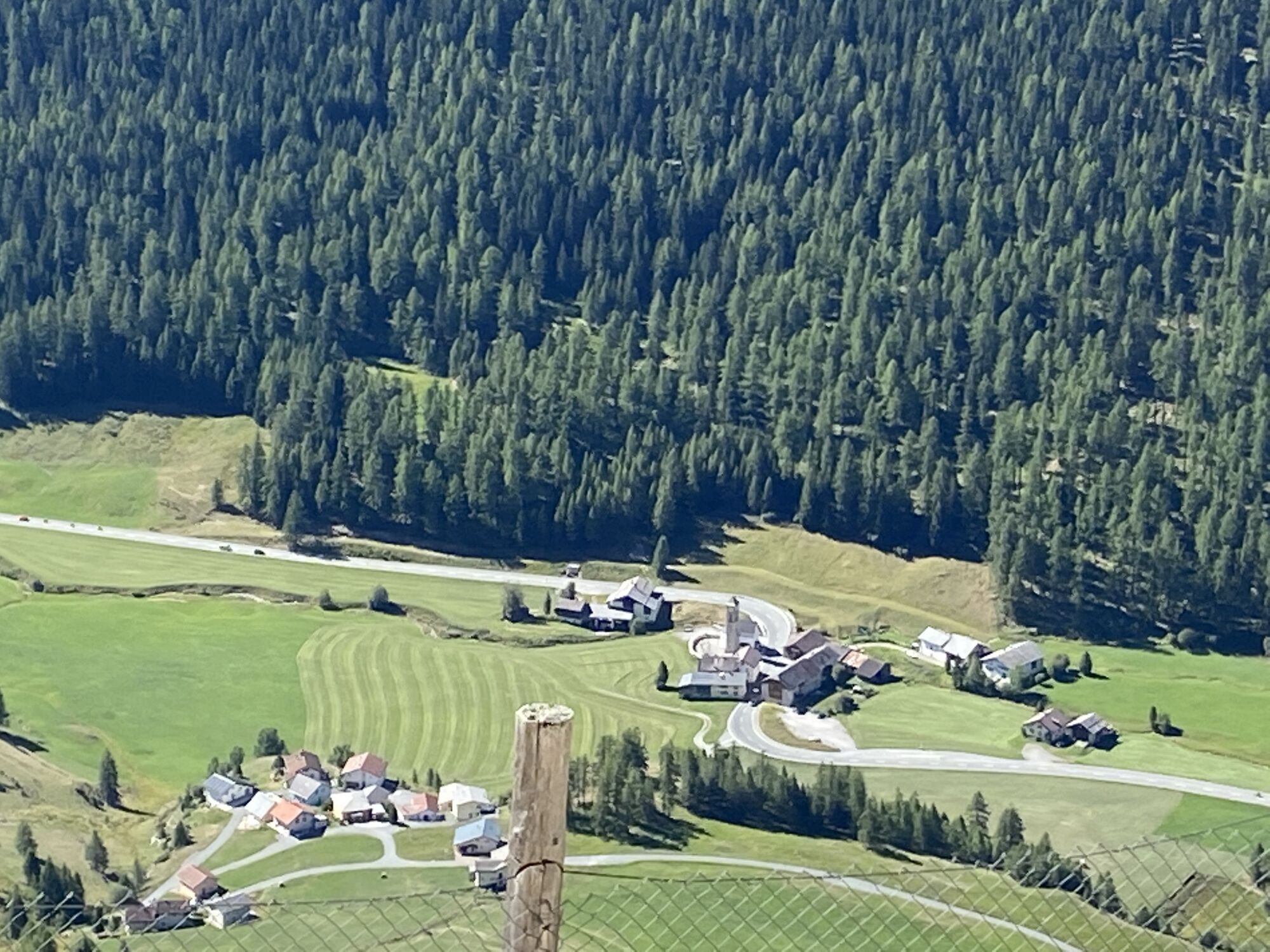
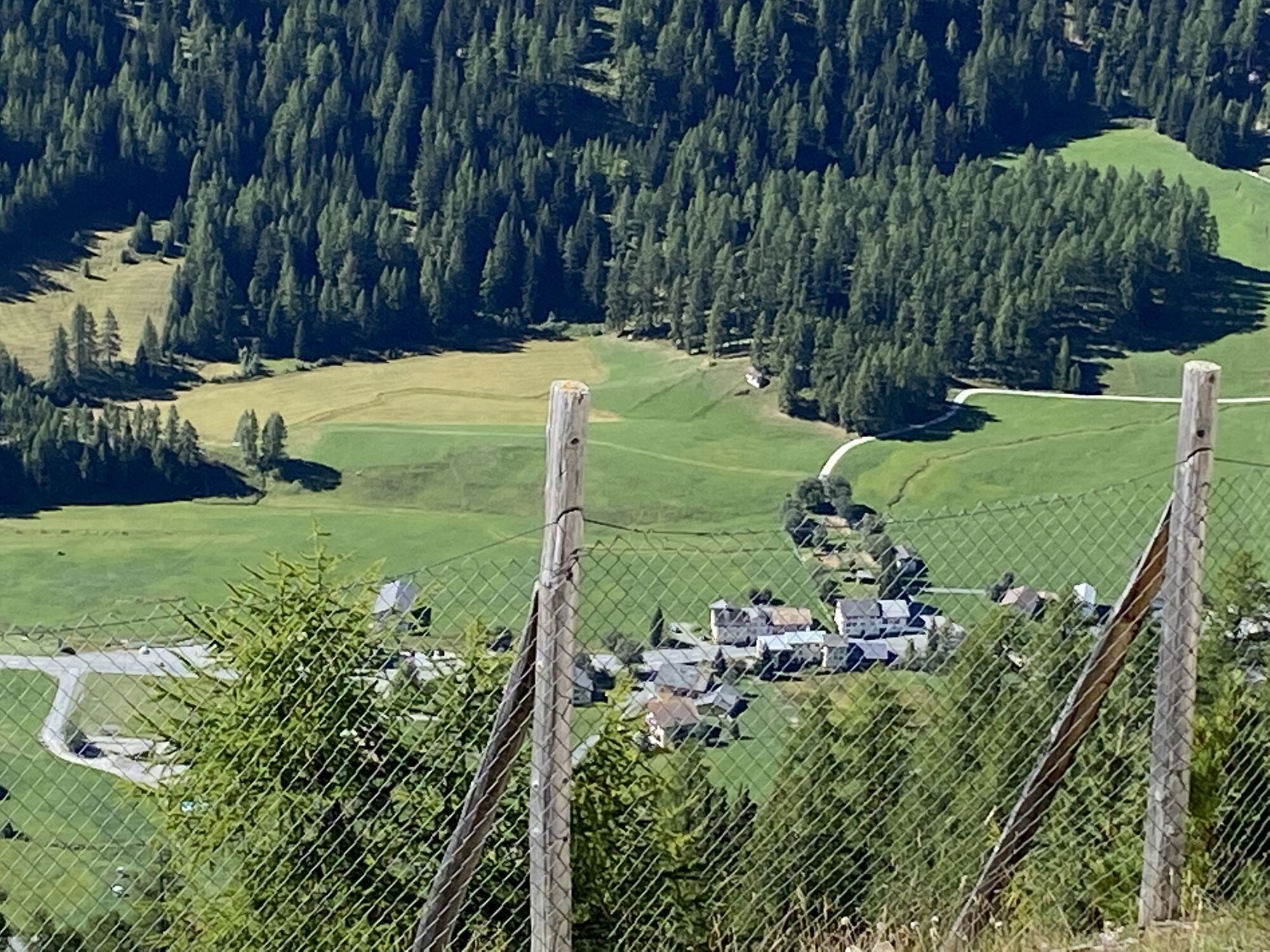
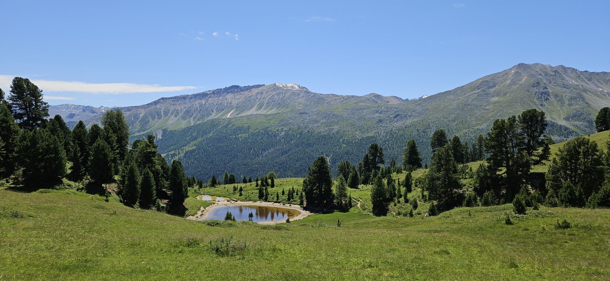
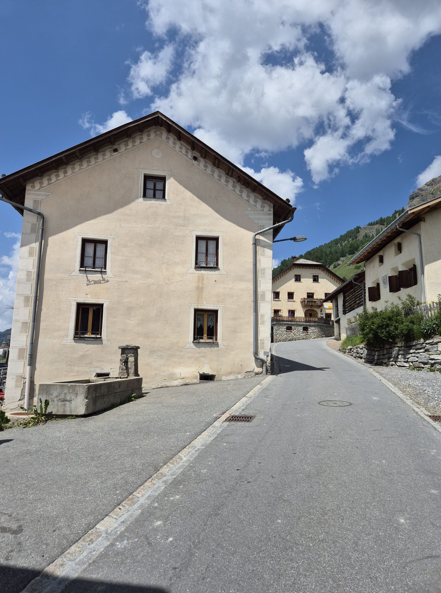
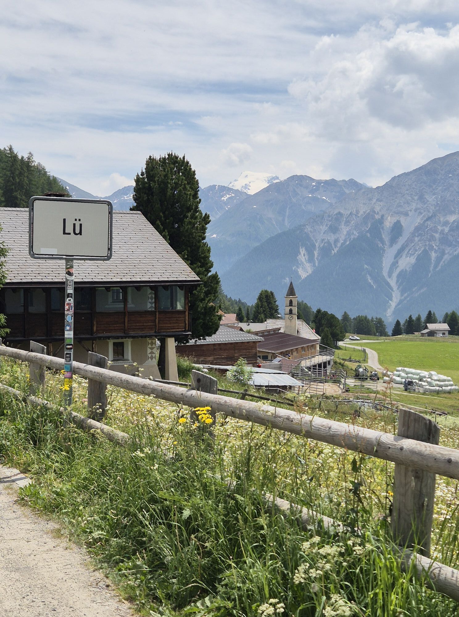
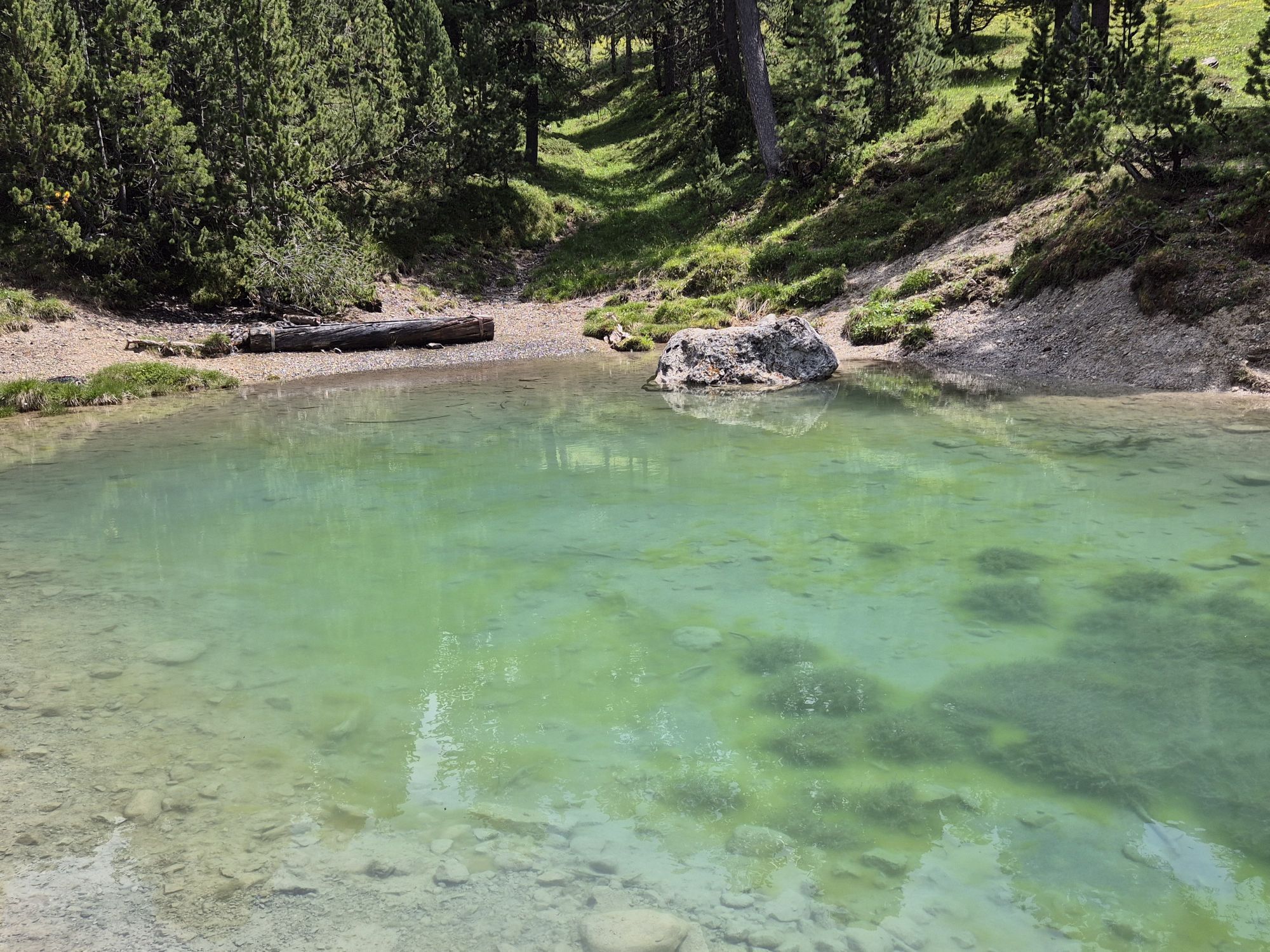
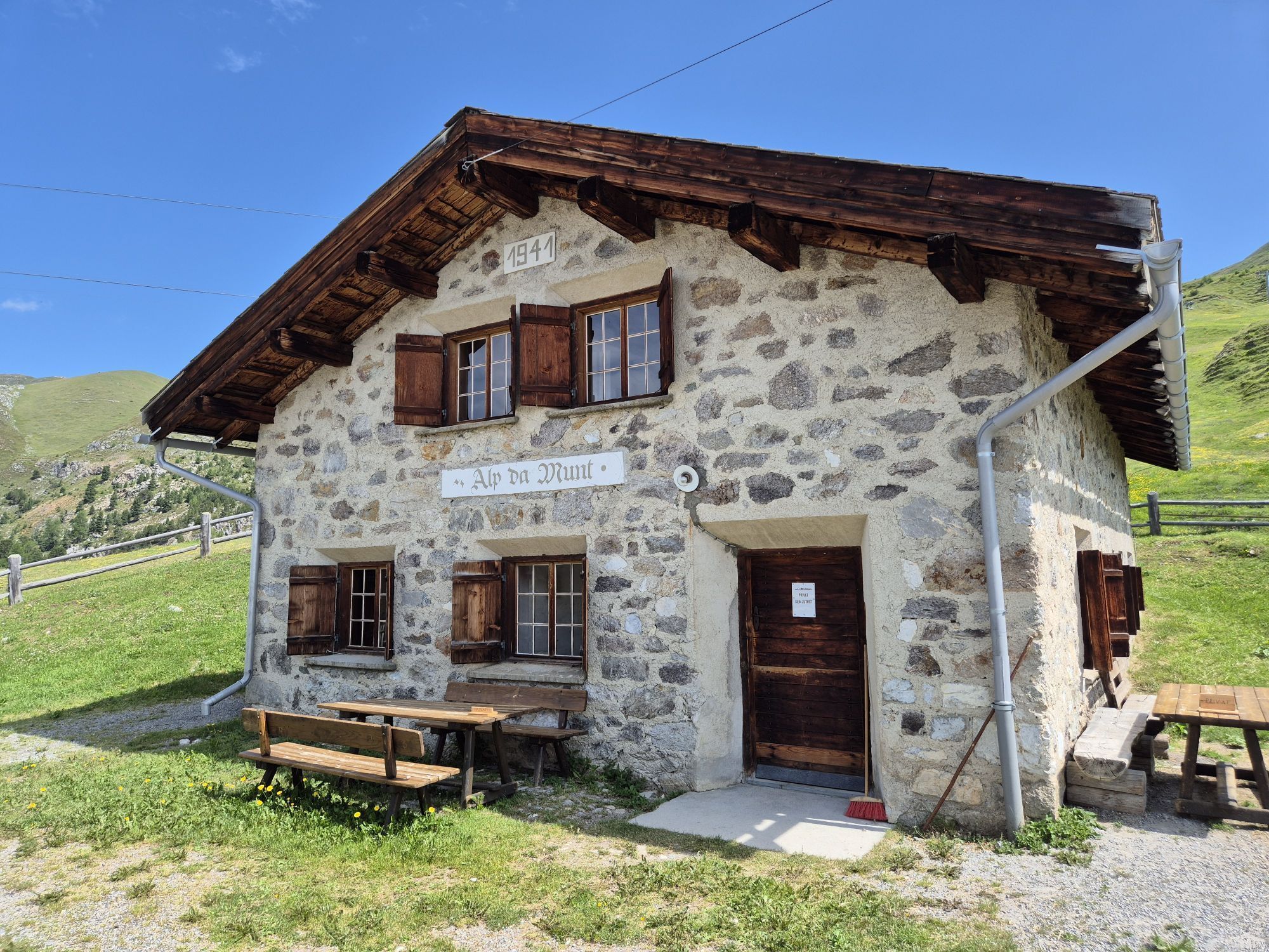
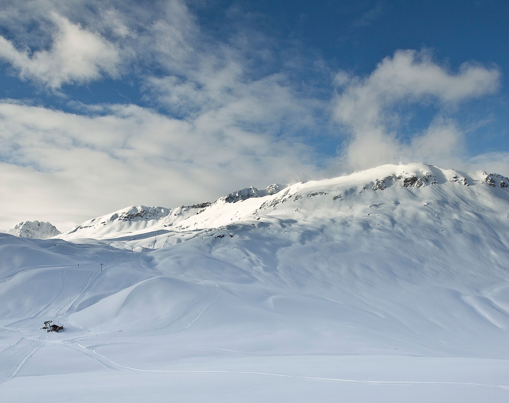
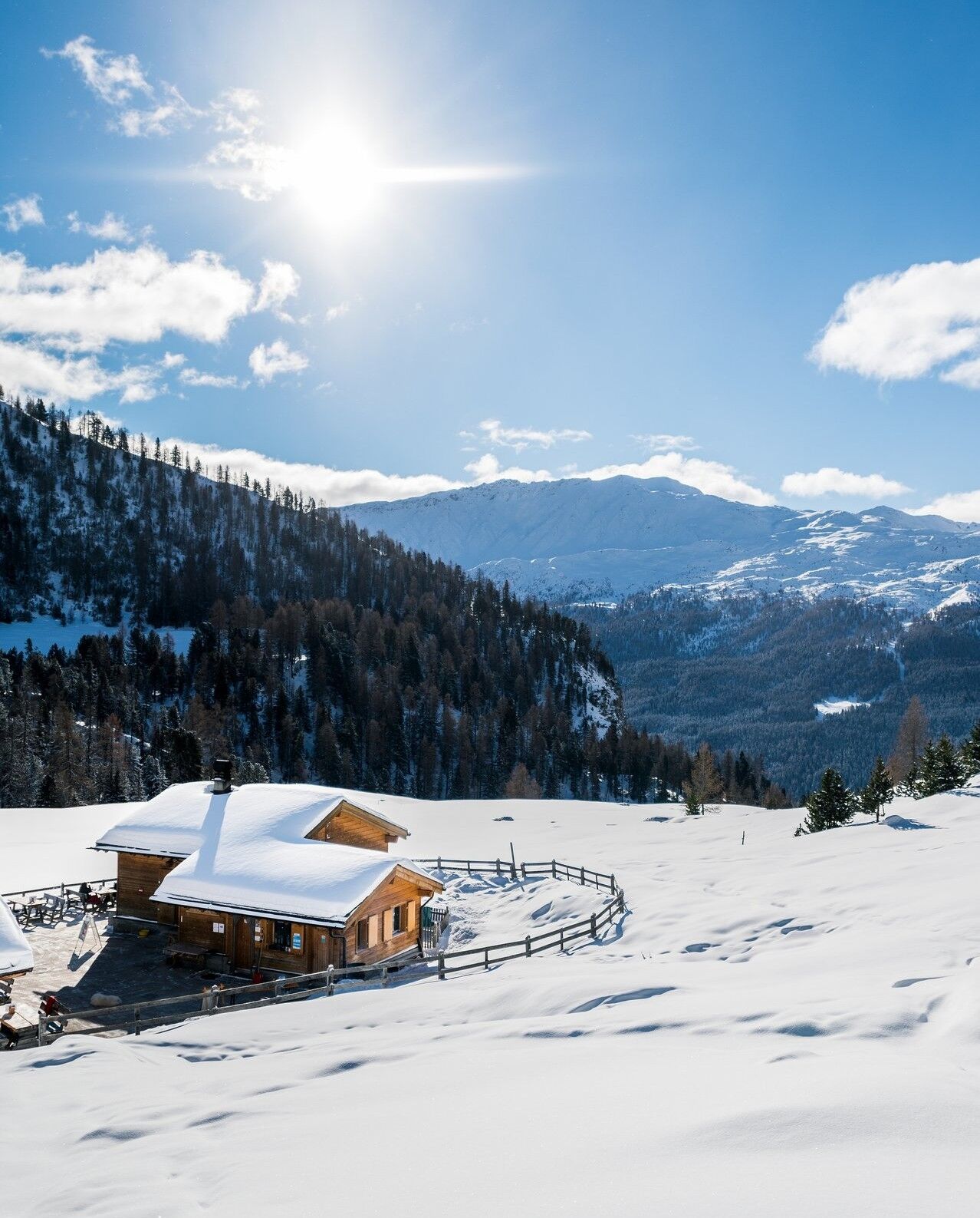
The winter panorama trail begins at the valley station of the Minschuns ski area. The well-maintained, family-friendly ski area is one of the sunniest spots in Switzerland. Four ski lifts open the area with several slopes. The high-altitude Minschuns is also considered very snow-sure. The winter hiking trail first leads in a gentle ascent through a forest and later along the ski slope up to Alp da Munt at 2,213 m above sea level. It then runs almost flat to Lai da Juata, accompanied by panoramic views over the Alps of Val Müstair and to the Ortler. From the alpine lake, the path goes through larch forests in a gentle descent to Alp Champatsch, whose original buildings are now in the Ballenberg Open-Air Museum. Here the sun terrace and the magnificent view of Val Müstair invite you to take a break. From the alp, it goes either on foot or with the brought sled down to Lü. After arriving in Lü, the path can be extended further downstream to Tschierv.

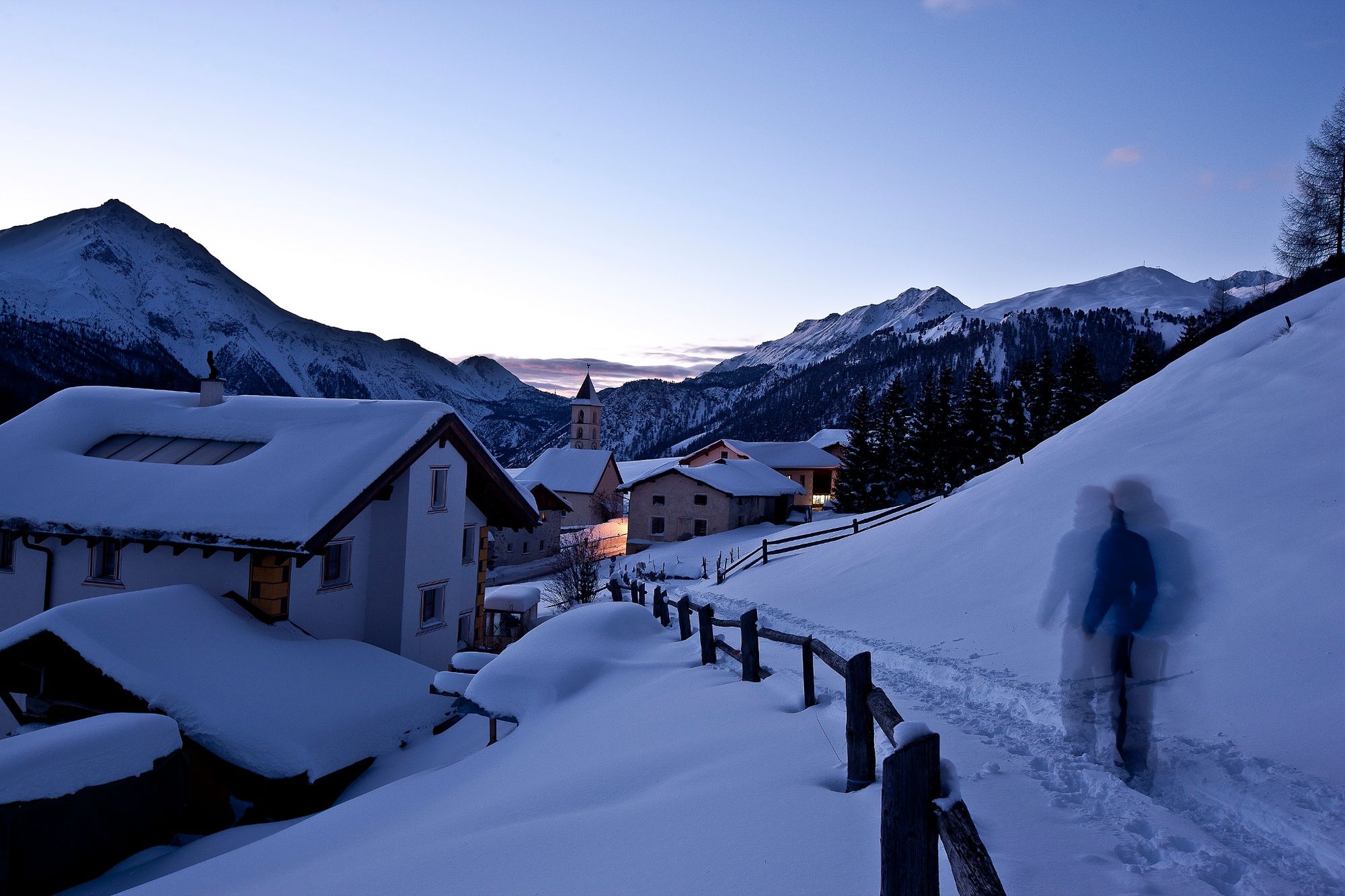
From the parking lot at the Minschuns valley station, a gentle ascent first through a forest and later along the ski slope to Alp da Munt
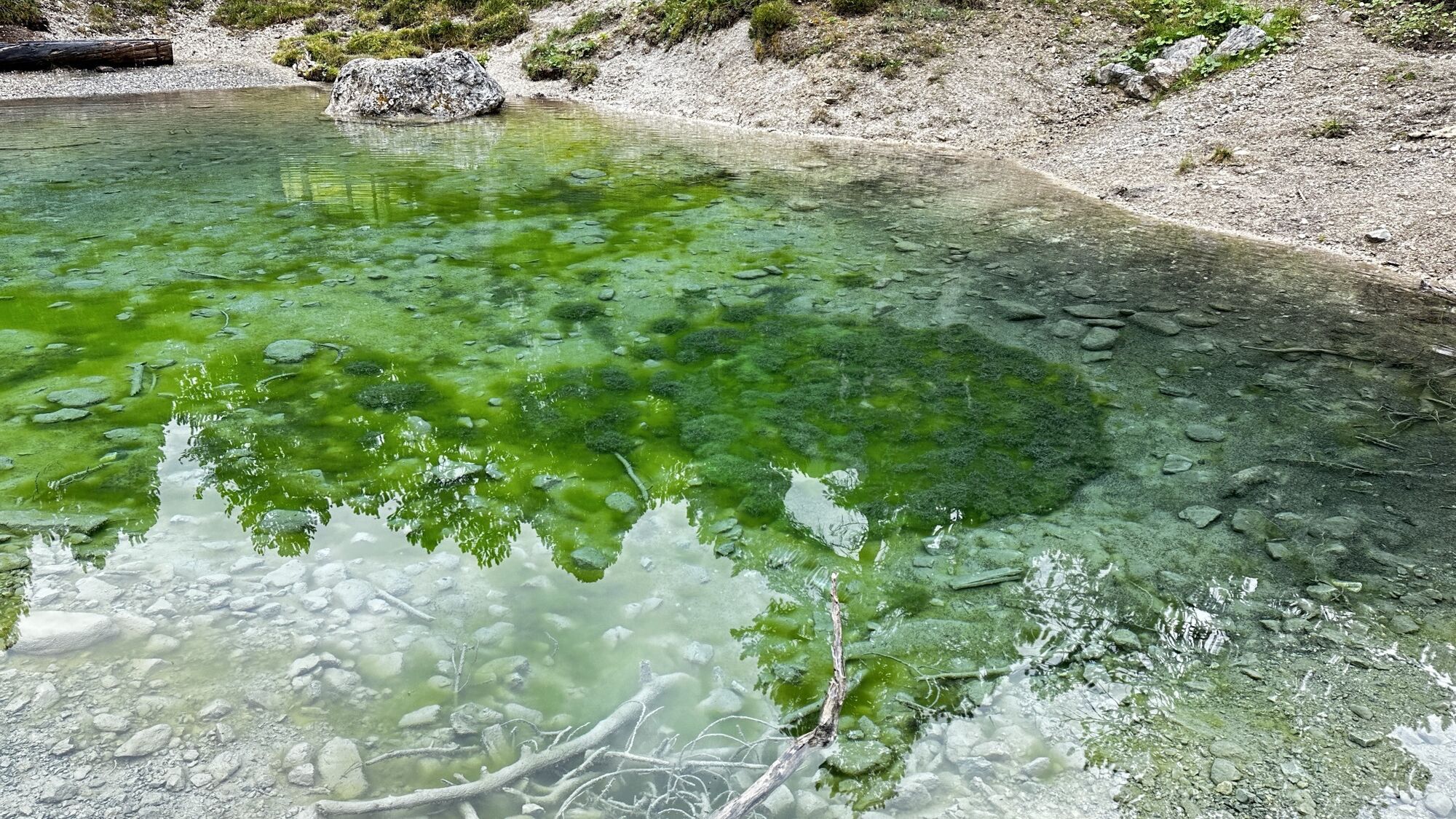
Almost flat further to Lai da Juata
Then it goes through larch forests in a gentle descent to Alp Champatsch and down to Lü
Optional sled ride to Tschierv
Tak
High and sturdy hiking shoes or winter boots, warm clothing, sun protection, hiking poles, if necessary: sled for the descent.
The path is groomed after every snowfall. Please observe condition reports at telephone number 081 861 88 49. The route was rated under favorable weather conditions; current snow and weather conditions must be checked before starting.
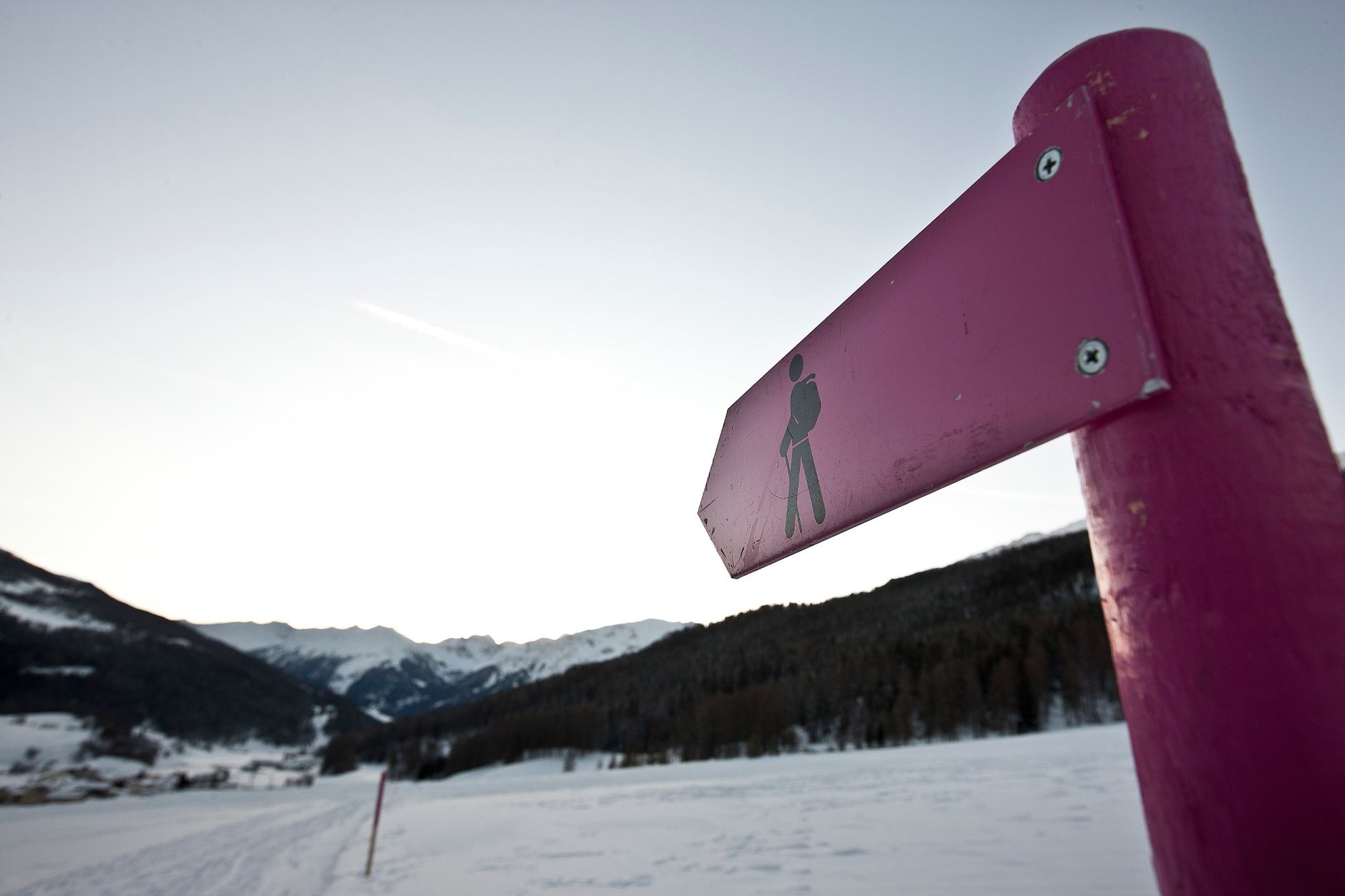
Attention: The path passes through wildlife quiet zones, please do not leave forest paths.
Well-prepared winter hiking trail, closed in case of avalanche danger. Inquiries at the Minschuns ski area. Tel. +41-81-858 51 09
Emergency numbers:
144 Emergency call, first aid
1414 Mountain rescue REGA
112 International emergency number
From the north: via Landquart – Klosters by car shuttle through the Vereina Tunnel (Selfranga - Sagliains) or over the Flüela Pass to Zernez on H27. From Zernez on H28 to Val Müstair to Süsom Givè. From Süsom Givè to the junction before the bridge/overpass. Here turn left to the parking lot of the Minschuns ski area.
From the south and east: via Reschen Pass (Nauders) or Bolzano on SS40 to Mals. From Mals on SS41 to the Swiss border at Müstair. From Müstair on H28 to Tschierv and further to the junction after the bridge/overpass. Here turn right to the parking lot of the Minschuns ski area.
By the Rhaetian Railway (from Chur, Landquart/Prättigau or Upper Engadin) hourly to Zernez
By PostBus from Zernez to Tschierv, alternatively Minschuns every two hours
By PostBus from Tschierv, alternatively Minschuns to Tschierv, Minschuns valley station daily at 9:14, 11:14 and 13:14. The 13:14 service runs 10 minutes later on Wednesdays
Free parking at the Minschuns valley station
4
Taxi services/shuttle bus: Taxi Roman Oswald, +41-79-639 05 27
Lü is a village that is ideal for star gazing at night thanks to the lack of light pollution.

Popularne wycieczki w okolicy
- 5,0
Mountain restaurant Plantaptasch (without Lift)
średniWędrówka 3,42 km - 3,6
Easy hiking rout to the top of the Watles Moutain (2.550 m)
średniWędrówka 2,35 km - 4,3
Sonnenaufgang auf der Rötelspitze im Nationalpark Stilfserjoch
Wędrówka 2,02 km - 4,5
Rundwanderweg Wattles und Sesvenna
światłoWędrówka 16,4 km - 3,4
Sta.Maria, Prà da Vau - Lai da Rims - Alp Sot - Prà da Vau
ciężkiWędrówka 14,7 km - 4,0
National Park: Margunet
światłoWędrówka 7,76 km - 4,8
National Park: Grimmels (circular hike)
światłoWędrówka 6 km - 4,7
Bergwanderung Schlinig -Seswenahütte
średniWędrówka 13,6 km - 4,7
Furkelhütte
średniWędrówka 5,49 km - 5,0
National Park: Mot Tavrü
średniWędrówka 12,0 km
Wędrówki i tropienie


Nie przegap ofert i inspiracji na następne wakacje
Twój adres e-mail została dodana do listy mailingowej.