


Lumbrein - Vrin
Poziom trudności: 3
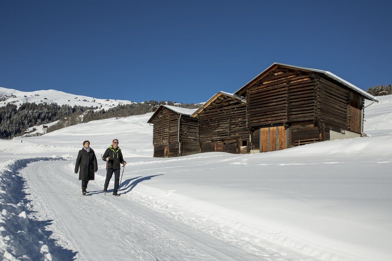
From Lumbrein you first go up on the (mostly) snow-cleared road in the direction of Punt Val Mulin. Above the last barns, the snow-covered winter hiking trail begins, which leads to the impressive wooden...
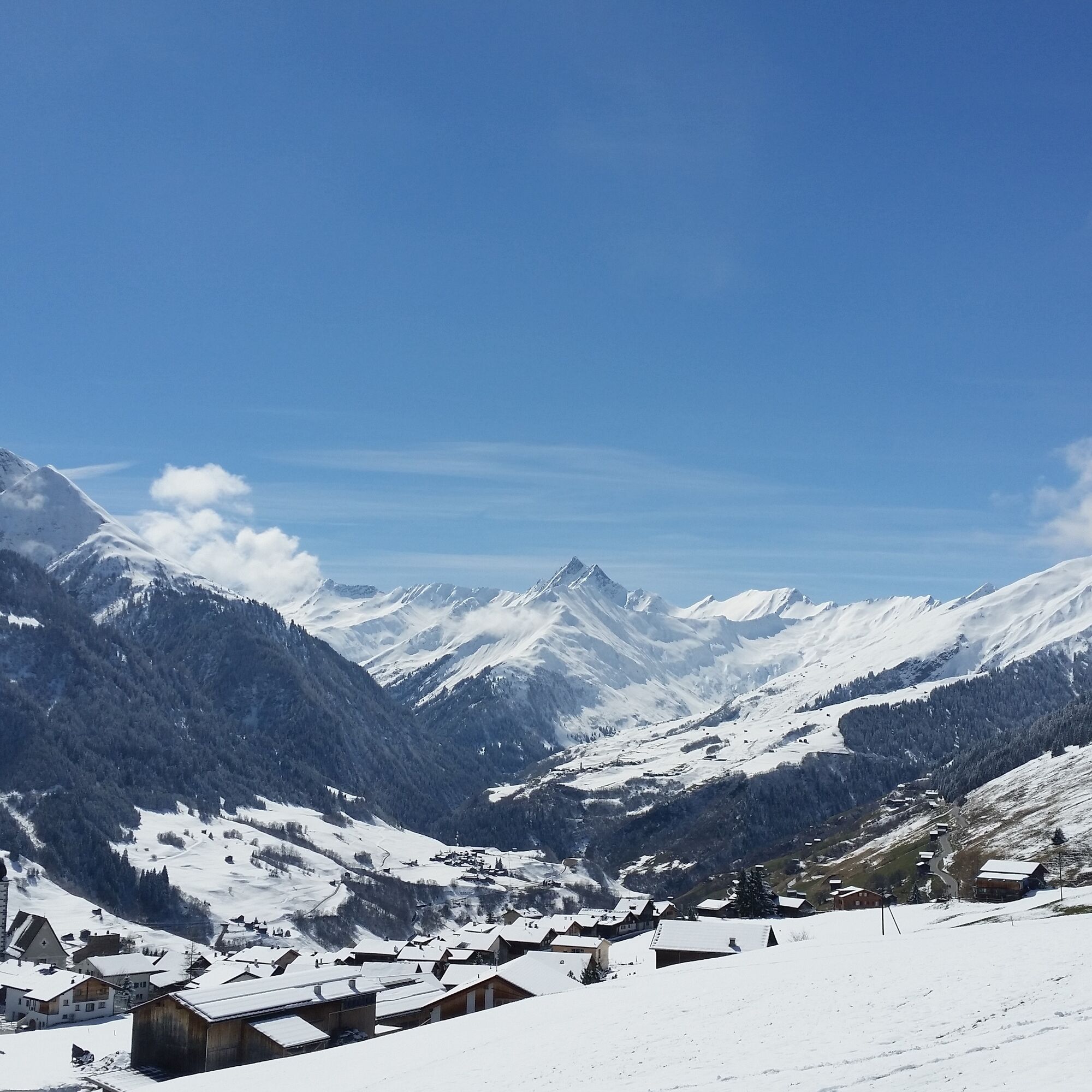
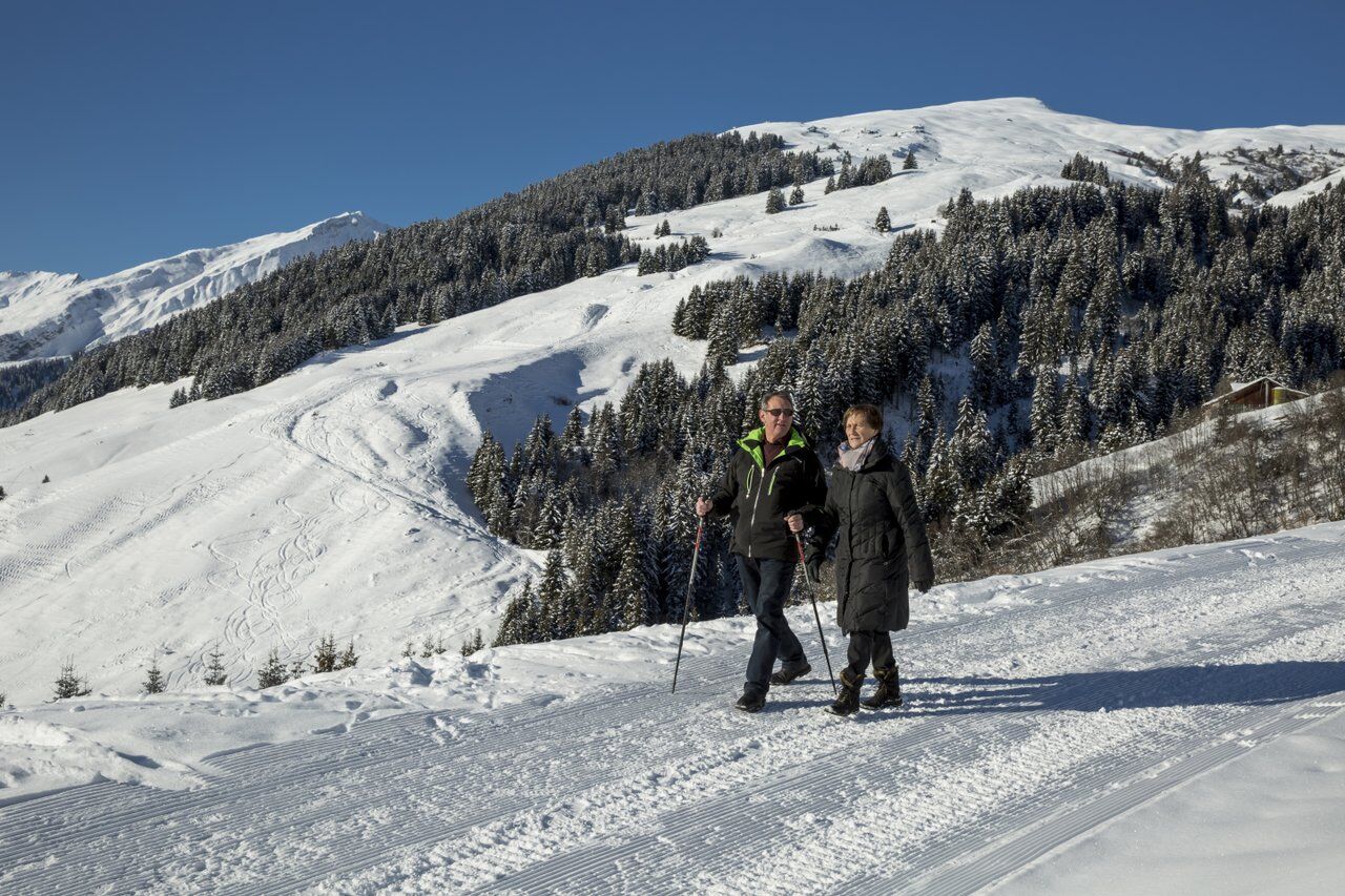
From Lumbrein you first go up on the (mostly) snow-cleared road in the direction of Punt Val Mulin. Above the last barns, the snow-covered winter hiking trail begins, which leads to the impressive wooden bridge of Val Mulin. After crossing the bridge, a hiking trail leads further towards Val Miedra. The trail leads over open meadows and for the most part through the deep snow-covered forest. Above Vrin, the winter hiking trail merges into the main road. The last 500 meters go along the main road into the village of Vrin.

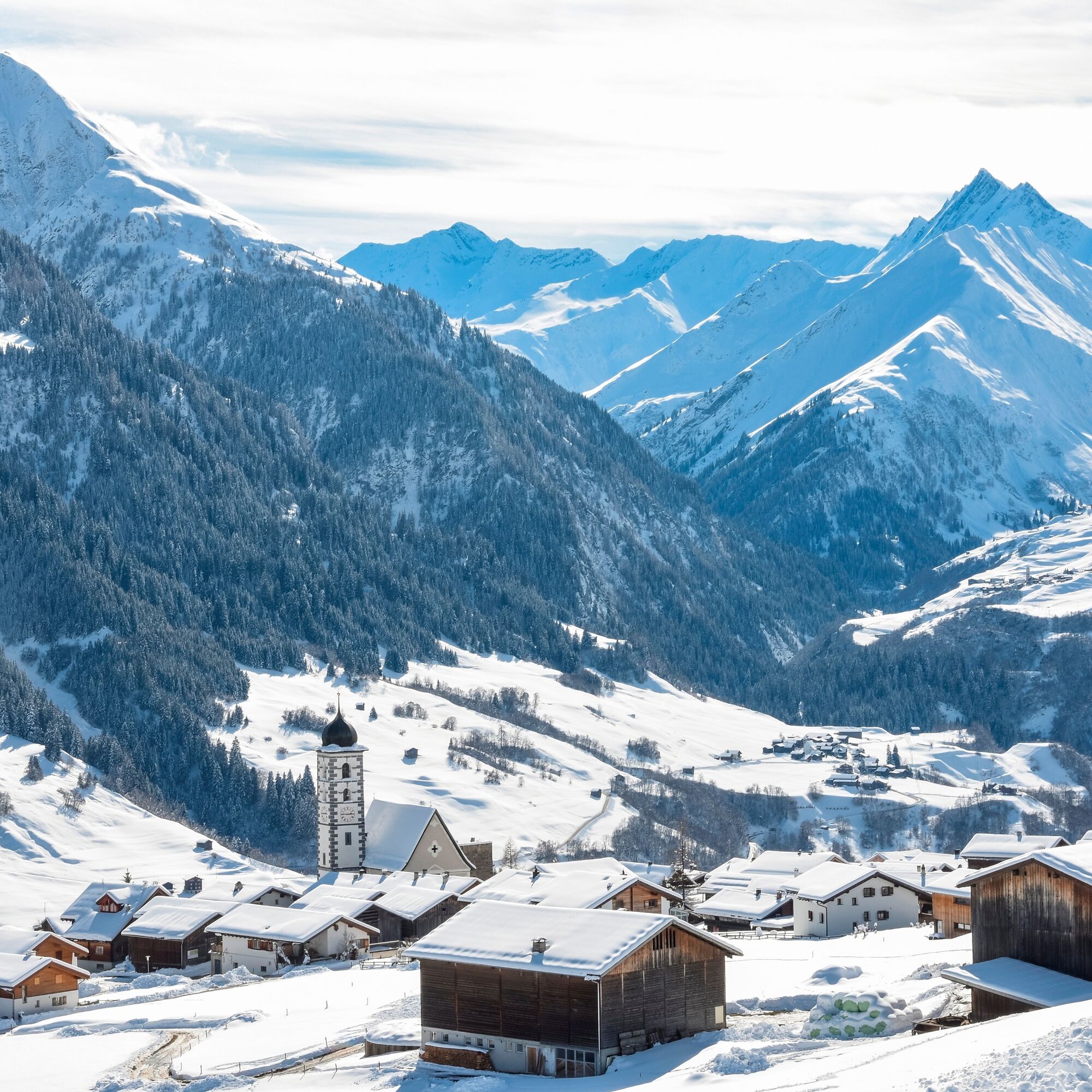
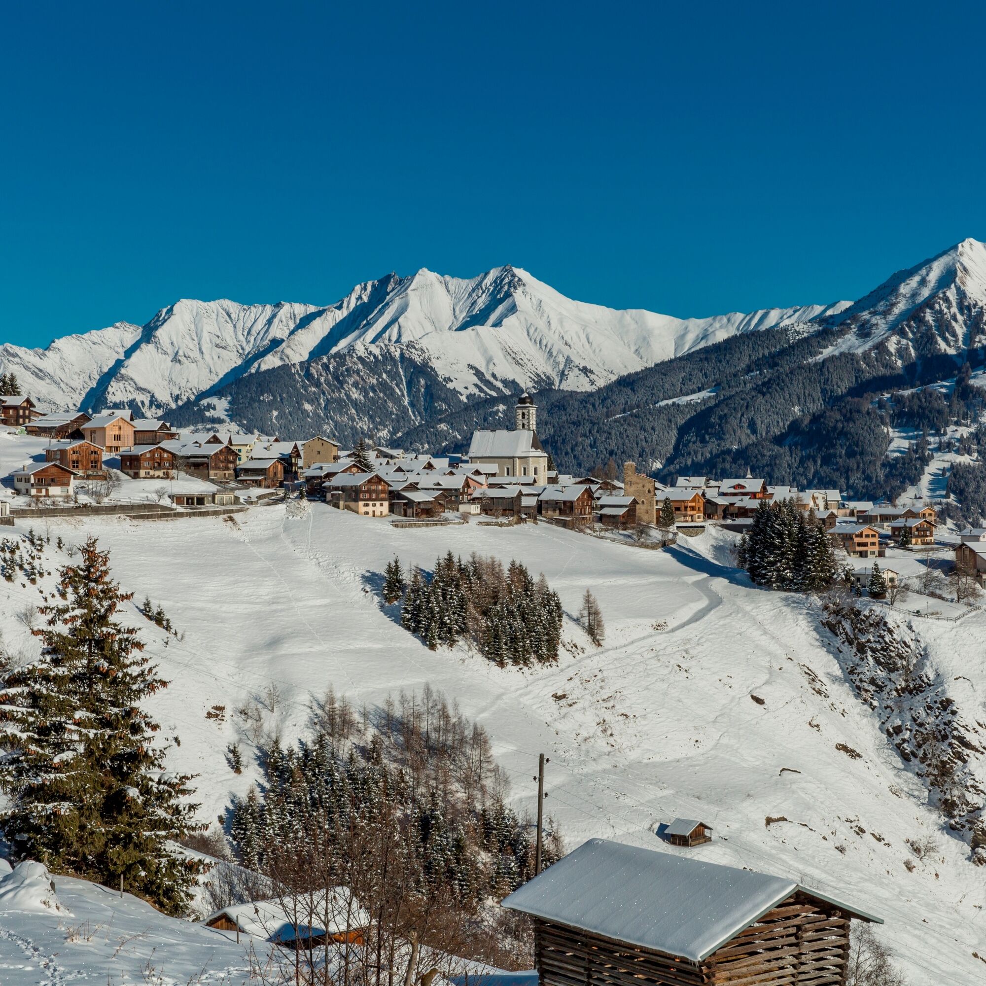
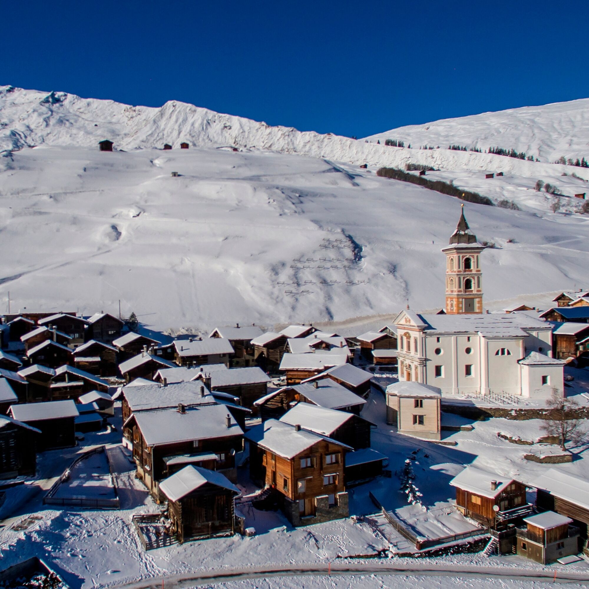
Lumbrein - Punt Val Mulin - Val Miedra - Vrin
Supplies with hot drink, high and sturdy hiking boots or winter boots, warm clothing, sun protection, hiking poles advantageous.
In uncertain weather conditions the route should not be started. Weather changes in the mountains are frequent. If a bad weather front or similar appears during the hike, you should turn back in time.
Via Chur A3/A13 via Flims to Ilanz in the Val Lumnezia.
Post bus line 90.441 Ilanz - Vrin, stop Lumbrein
During the winter season, the post bus on the Ilanz – Vrin line as well as on other lines throughout the entire municipality of Lumnezia can be used free of charge by everyone.
Limited parking options in Lumbrein. We generally recommend traveling by public transport.
During the winter season, the post bus on the Ilanz – Vrin line as well as on other lines throughout the entire municipality of Lumnezia can be used free of charge by everyone.
3
Since the hiking trail after the wooden bridge over Val Mulin can only be groomed with a snowmobile and due to the avalanche danger in Val Miedra, it is not always possible to groom it immediately after heavy snowfall.
You can also hike only as far as Nussaus (about half the distance) and continue from there by post bus (free in winter).
Popularne wycieczki w okolicy
- 5,0
High valley Val Frisal
ciężkiWędrówka 12,4 km - 5,0
Hiking route Suspension Bridge Val da Tersnaus
średniWędrówka 3,24 km - 5,0
Panorama route
światłoWędrówka 5,39 km Giro della Greina
Wędrówka 50,6 km- 3,3
3-lake hike
średniWędrówka 12,8 km - 5,0
Winter hike Gadastatt - Frunt - Zerfreila (Panorama trail)
światłoWędrówka zimą 5,36 km Panoramic route between Piz Mundaun and Péz Sezner
średniWędrówka 6,75 km- 5,0
2-day hike Greina high plateau
średniWędrówka 14,9 km - 5,0
Southeast Switzerland Hiking Day Vals 2017
światłoWędrówka 11,8 km Piz Terri, 3.149 m
średniWycieczka wysokogórska 6,92 km
Wędrówki i tropienie


Nie przegap ofert i inspiracji na następne wakacje
Twój adres e-mail została dodana do listy mailingowej.