







Tschlin – God sur las chasas (circular route)

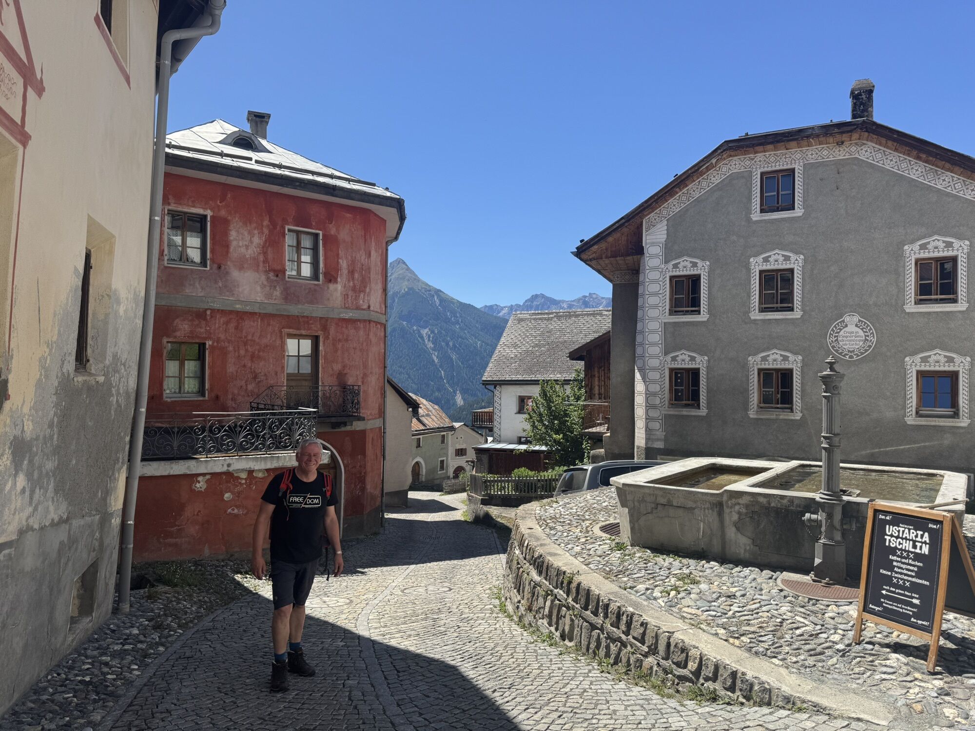
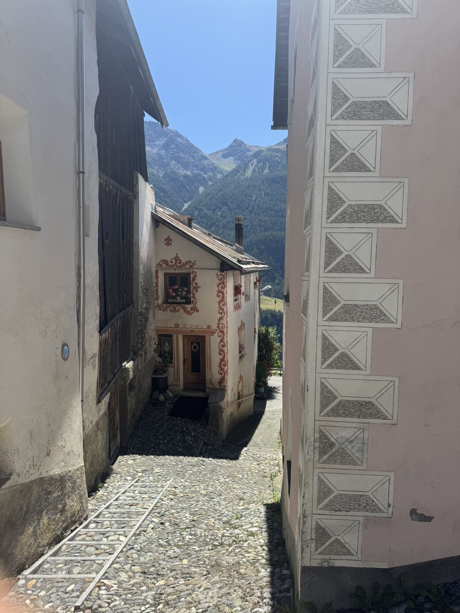
To reach the starting point of the hike, walk through the entire charming village of Tschlin along the main street, where you can admire the truly traditional Engadin houses. Tschlin has also made a name...
To reach the starting point of the hike, walk through the entire charming village of Tschlin along the main street, where you can admire the truly traditional Engadin houses. Tschlin has also made a name for itself with the "Village Phone Campaign" and recently with the "bügl public" bathing fun in the village fountain of Tschlin. In the summer of 2018, a special bathing event was offered on certain Saturdays. To continue the hike, once at the top of the village, take the path westward through the forest "God zur las Chasas". At a bend and across a terrace landscape, it leads back to the village.

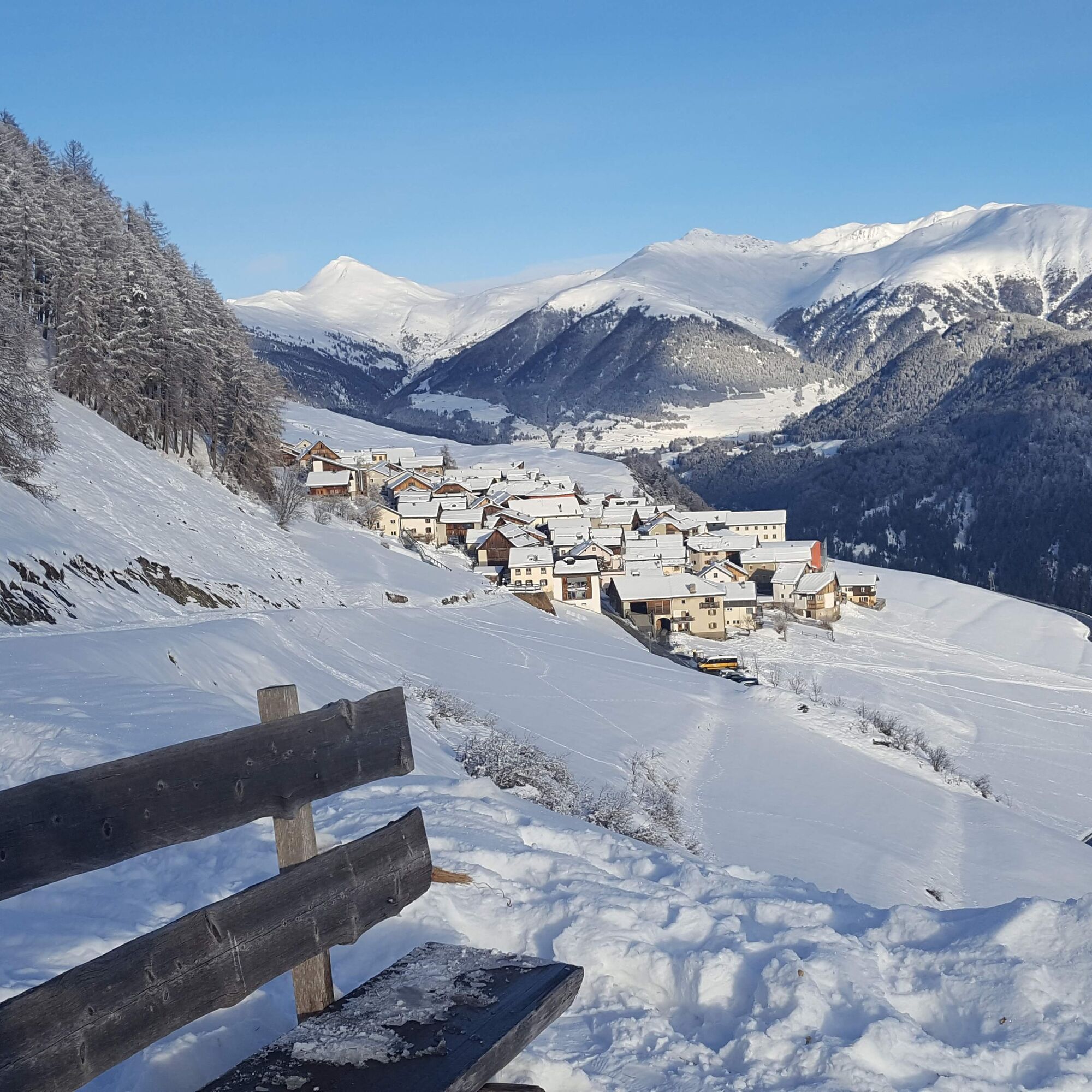

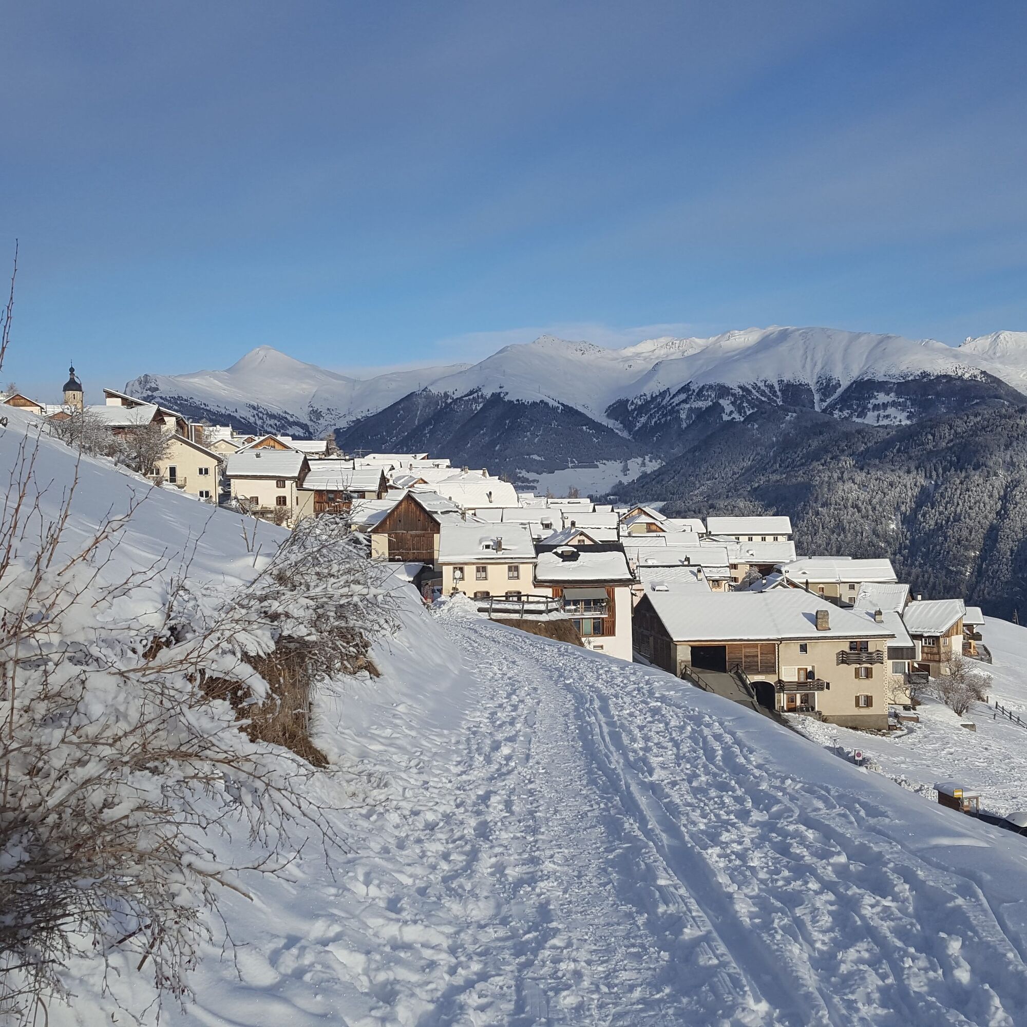
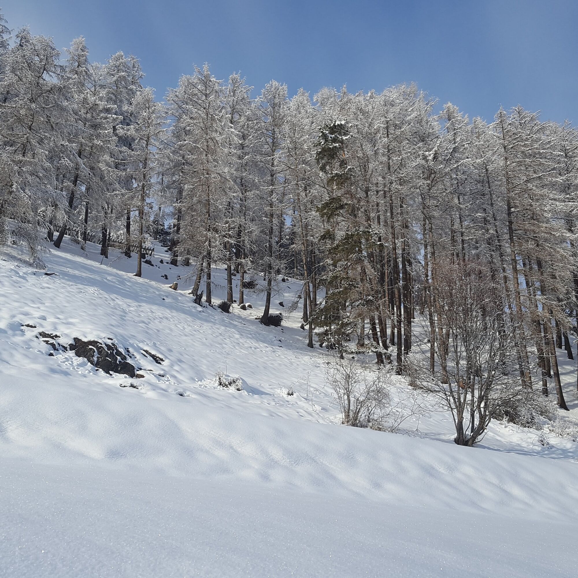
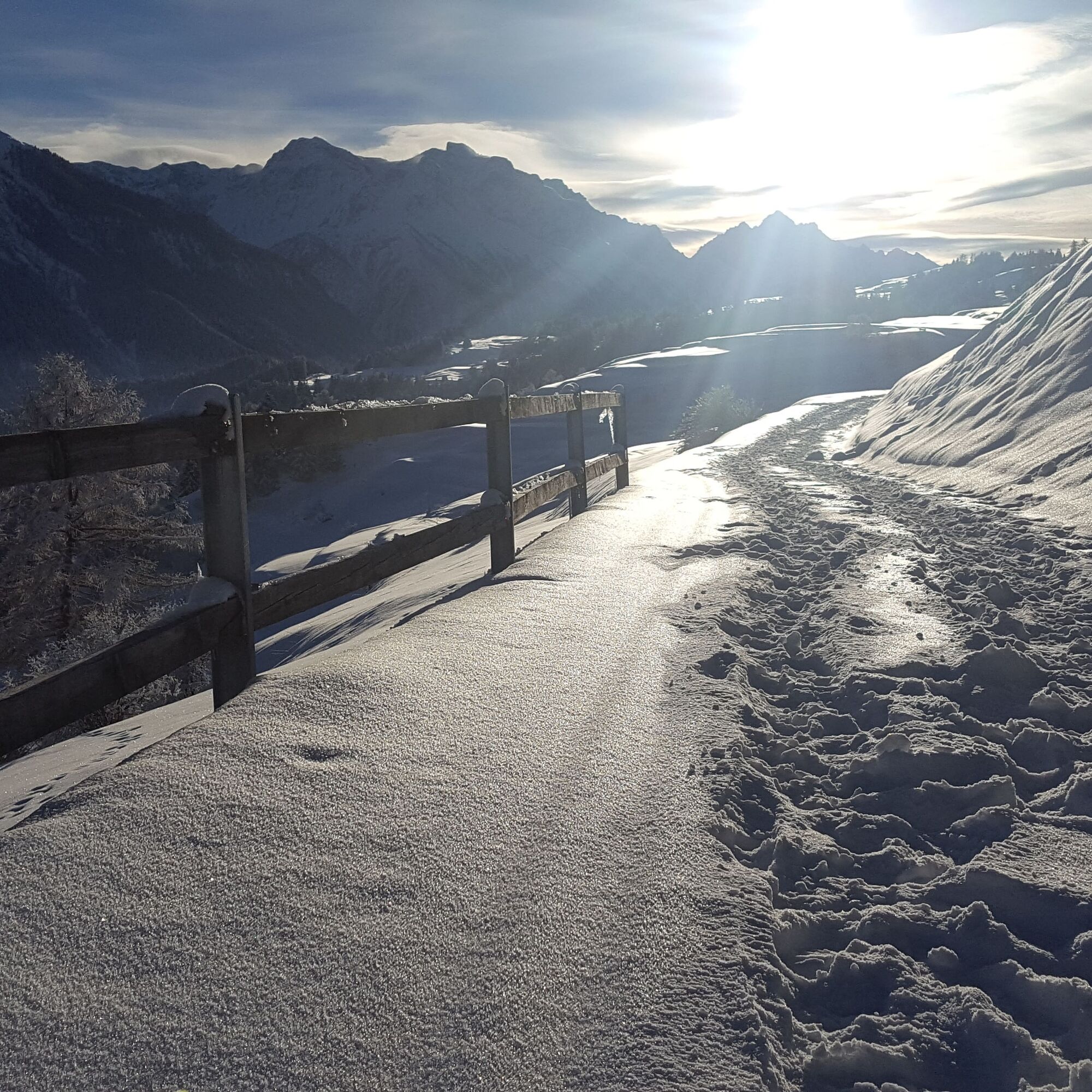


First through the village of Tschlin. Slightly ascending, you reach a viewpoint, then continue through the forest "God sur las Chasas". The path leads over the terrace landscape back to Tschlin.
Tak
High and sturdy hiking boots or winter boots, warm clothing, sunscreen, sunglasses, sun protection, hiking poles.
The path is groomed after every snowfall. Please observe the condition reports in the winter sports report. The route was rated under favorable weather conditions; the current snow and weather conditions must be checked before starting.
Emergency numbers:
144 Emergency, first aid
1414 Mountain rescue REGA
112 International emergency number
Scuol is located directly on the Engadin road H27 (20 minutes drive from Vereina south portal). From Scuol to Tschlin 30 minutes.
By the Rhaetian Railway (from Chur, Landquart/Prättigau or Upper Engadin) hourly to Scuol-Tarasp
By the PostBus hourly from Scuol station to Tschlin, direction Martina. Change in Strada.
Paid parking spaces available at the bus stop
Popularne wycieczki w okolicy
-
4,3
Panoramaweg Schöneben Haider Alm
światłoWędrówka 5,78 km -
4,3
Reschensee
światłoWędrówka 15,6 km -
4,2
Haidersee - Graun - Trentino-Alto Adige/Südtirol/Italia
światłoWędrówka 4,99 km -
3,6
Nauders - Bergkastel - Plamort - Reschen - Nauders
średniMountainbike 20,9 km -
4,4
Leonhardskapelle - Deiländerblick - Mein Dörfl Bar-Bungalov - Kapelle zum Hl. Martin
światłoJazda na rowerze 29,2 km -
4,7
Around Flimspitz from Alptrider Saddle
średniWędrówka 8,57 km -
4,8
Plamort
światłoWędrówka 8,25 km -
4,8
NAUDERS | Grenzüberquerung
światłoWędrówka 7,41 km -
4,7
Bergwanderung Schlinig -Seswenahütte
średniWędrówka 13,6 km -
5,0
3 Länder Tour Uinaschlucht MTB
ciężkiMountainbike 74,6 km
Wędrówki i tropienie


Nie przegap ofert i inspiracji na następne wakacje
Twój adres e-mail została dodana do listy mailingowej.





