







Pater Maurus Carnot Path in winter (W11)
Poziom trudności: 1
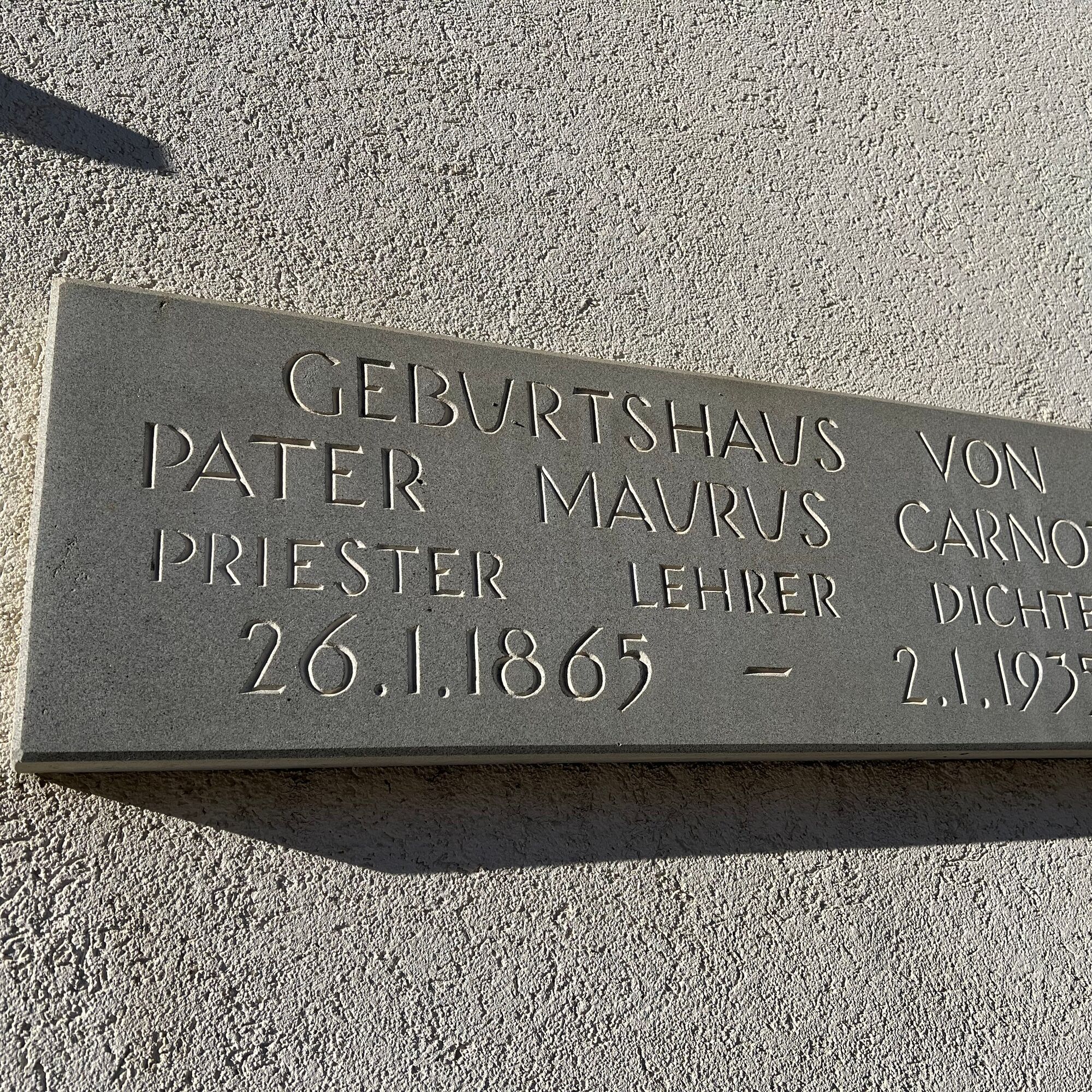
At the stop "Samnaun-Laret, village," by the birthplace of Pater Maurus Carnot, this themed path begins. First, it goes along Laret and Welschdörfli streets, past the endpoint of the popular descent No....
At the stop "Samnaun-Laret, village," by the birthplace of Pater Maurus Carnot, this themed path begins. First, it goes along Laret and Welschdörfli streets, past the endpoint of the popular descent No. 60 down to the Shell gas station. The leisurely walk then continues along the valley road and then along the stream path, the Schergenbach. The destination in Samnaun-Plan is near: the "Museum Chasa Retica," the oldest house in Samnaun. This dirt path from the Trua Bridge to Plan invites walking and strolling in summer and winter. A total of 17 informative signs present the life of the important Samnauner. The signs are attached to the light poles and, thanks to the lighting, this memorial path can also be visited in the evening.


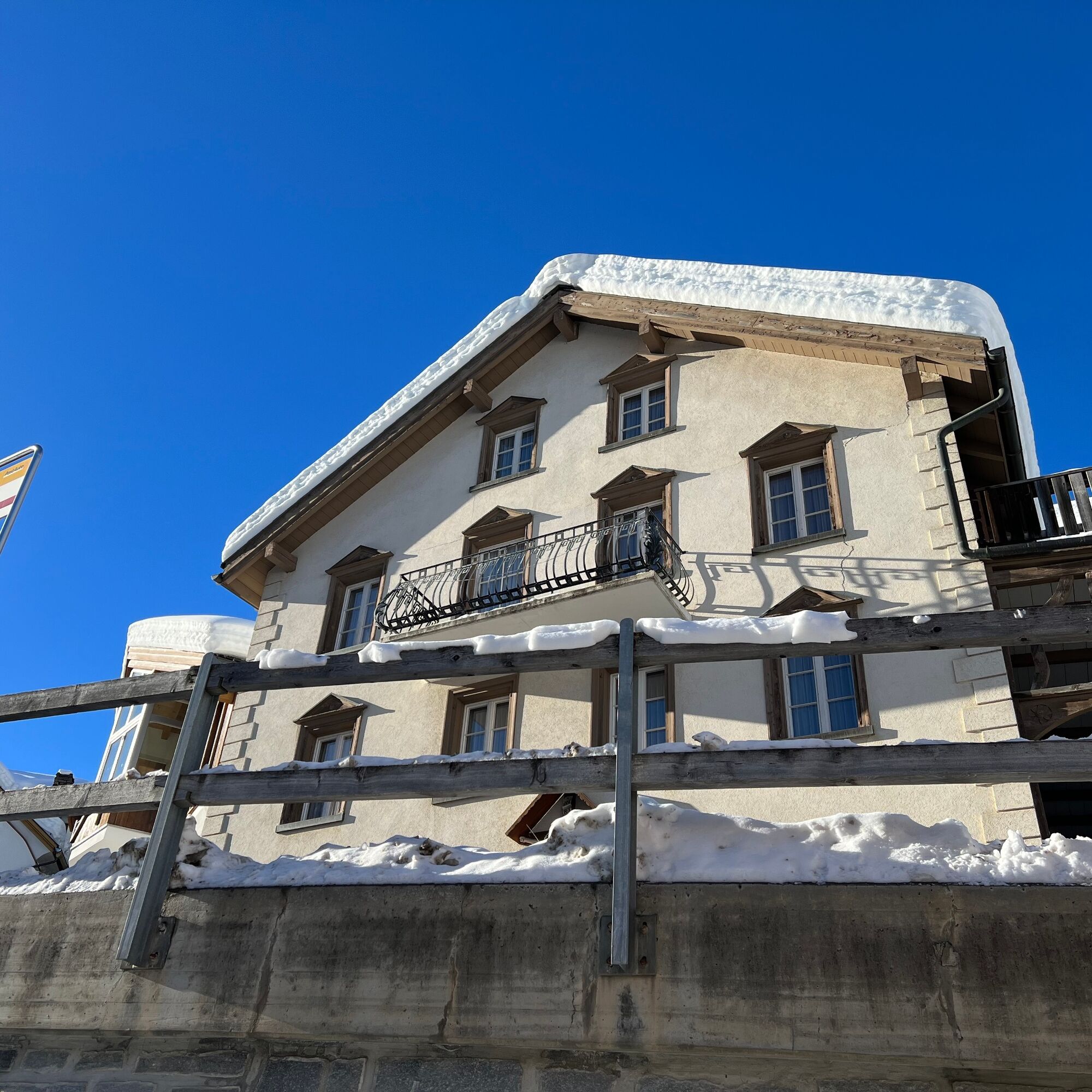
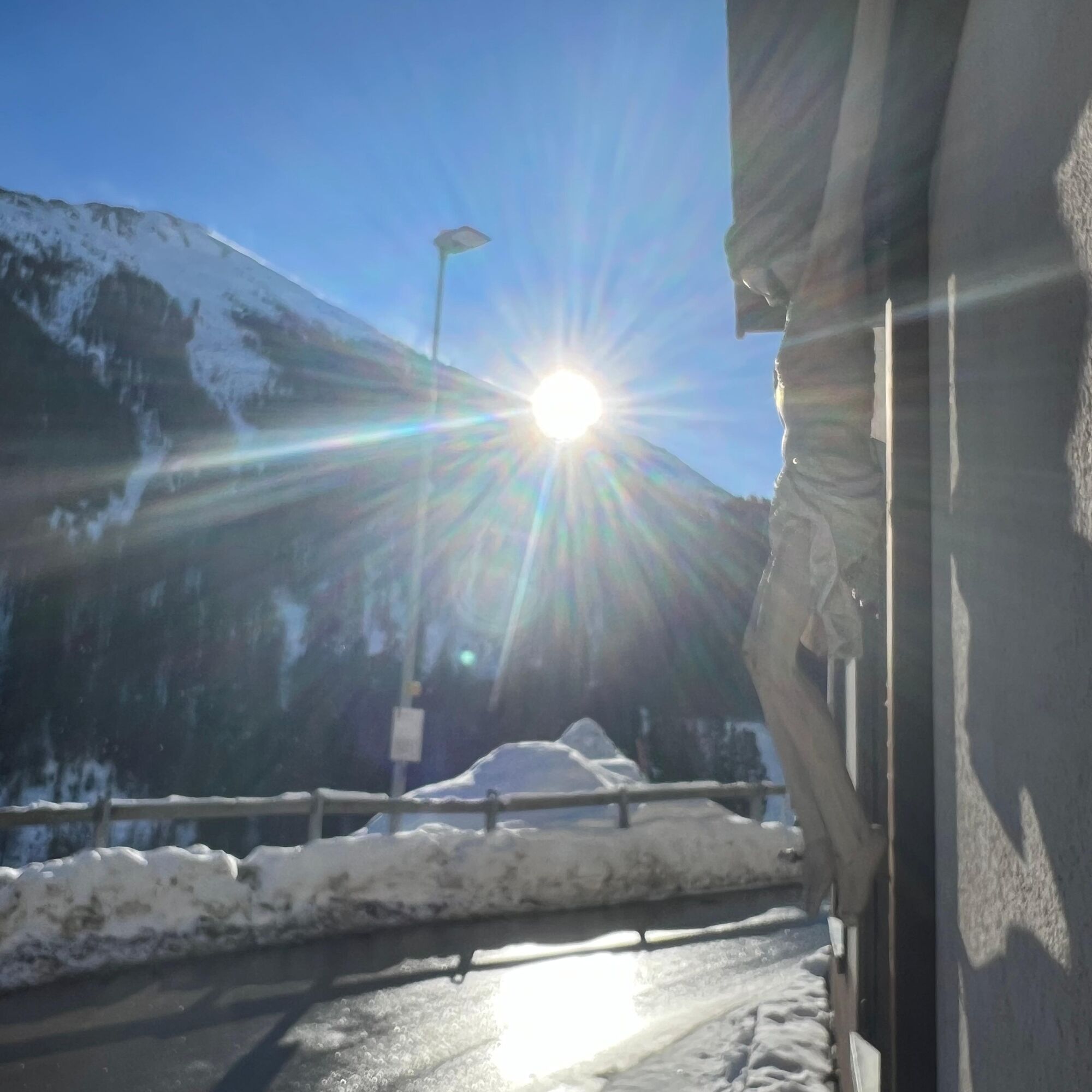

Along the dirt path by the Schergenbach to the Museum Chasa Retica in Samnaun-Plan
Tak
High and sturdy hiking boots or winter boots, warm clothing, sunscreen, sunglasses, sun protection, hiking poles.
The path is prepared after every snowfall. Please check the reports in the condition report. The route was rated under favorable weather conditions; current snow and weather conditions must be observed before starting.
Warning: A ski slope is crossed along the way.
Emergency call: 144 general emergency, first aid 1414 mountain rescue REGA, 112 international emergency
From the north: via Landquart – Klosters by car transport through the Vereina tunnel (Selfranga - Sagliains), then on road H27 via Scuol and Martina to Vinadi. From the Vinadi junction to Samnaun (approx. 1 hour from Vereina south portal)
From the east: via the Inn valley road B180 via Landeck to Pfunds, Kajetansbrücke junction and via Spiss to Samnaun.
From the south: via Reschen Pass (Nauders) on B180 to Pfunds, Kajetansbrücke junction and via Spiss to Samnaun.
Accessible by train and bus
With the Rhaetian Railway (from Chur, Landquart/Prättigau, or Upper Engadin) hourly to Scuol-Tarasp station Then continuing by PostBus (from Scuol-Tarasp or Martina, Cunfin) hourly to the PostBus stop Samnaun-Laret junction In Samnaun, hourly daytime service with the Samnaun bus to the PostBus stop Samnaun-Laret villageFree parking spaces in Laret West.
1
Visit the "Museum Chasa Retica." This museum houses the foundation rooms of the Pater-Marus-Carnot Foundation, where a permanent exhibition showcases the life and work of the poet monk. The museum is located in Samnaun-Plan.
A visit is only possible with a guided tour. The valley museum tour takes place weekly during the winter and summer seasons. Register at the Samnaun guest information center.
Uzyskaj wgląd
Zawsze na żywo z ponad 9 500 kamer internetowych. bergfex Jako użytkownik Pro, możesz teraz zobaczyć odpowiednie kamery internetowe dla wielu wycieczek w aplikacji wycieczki od. Pozwala to na bezpośredni podgląd aktualnych warunków.
Popularne wycieczki w okolicy
-
4,9
Murmeltierwanderweg
średniWędrówka 6,87 km -
4,5
Radurschelklamm
średniWędrówka 7,51 km -
4,9
Furgler vom Lazid
ciężkiWycieczka wysokogórska 9,60 km -
4,6
Sonnenkogel - Friedrichshafener lodge
średniWędrówka 13,2 km -
5,0
Rundwanderung Berglisee, Mathon
ciężkiWędrówka 11,1 km -
5,0
Samnaun Dorf – Muttler
ciężkiWędrówka 14,8 km -
5,0
Kappl, Diasbahn Bergstation, Niederelbehütte, Diasbahn, Österreich
średniWędrówka 10,1 km -
4,7
Around the Flimspitz from Alptrider Sattel
średniWędrówka 8,57 km -
5,0
Rund um den Frudiger
Mountainbike 20,9 km -
3,6
Bergstation Silvretta nach Patznauener Taja
światłoWędrówka 11,6 km
Wędrówki i tropienie


Nie przegap ofert i inspiracji na następne wakacje
Twój adres e-mail została dodana do listy mailingowej.





