







357 Senda Alp Trida–Alp Bella (W10)
Poziom trudności: 2
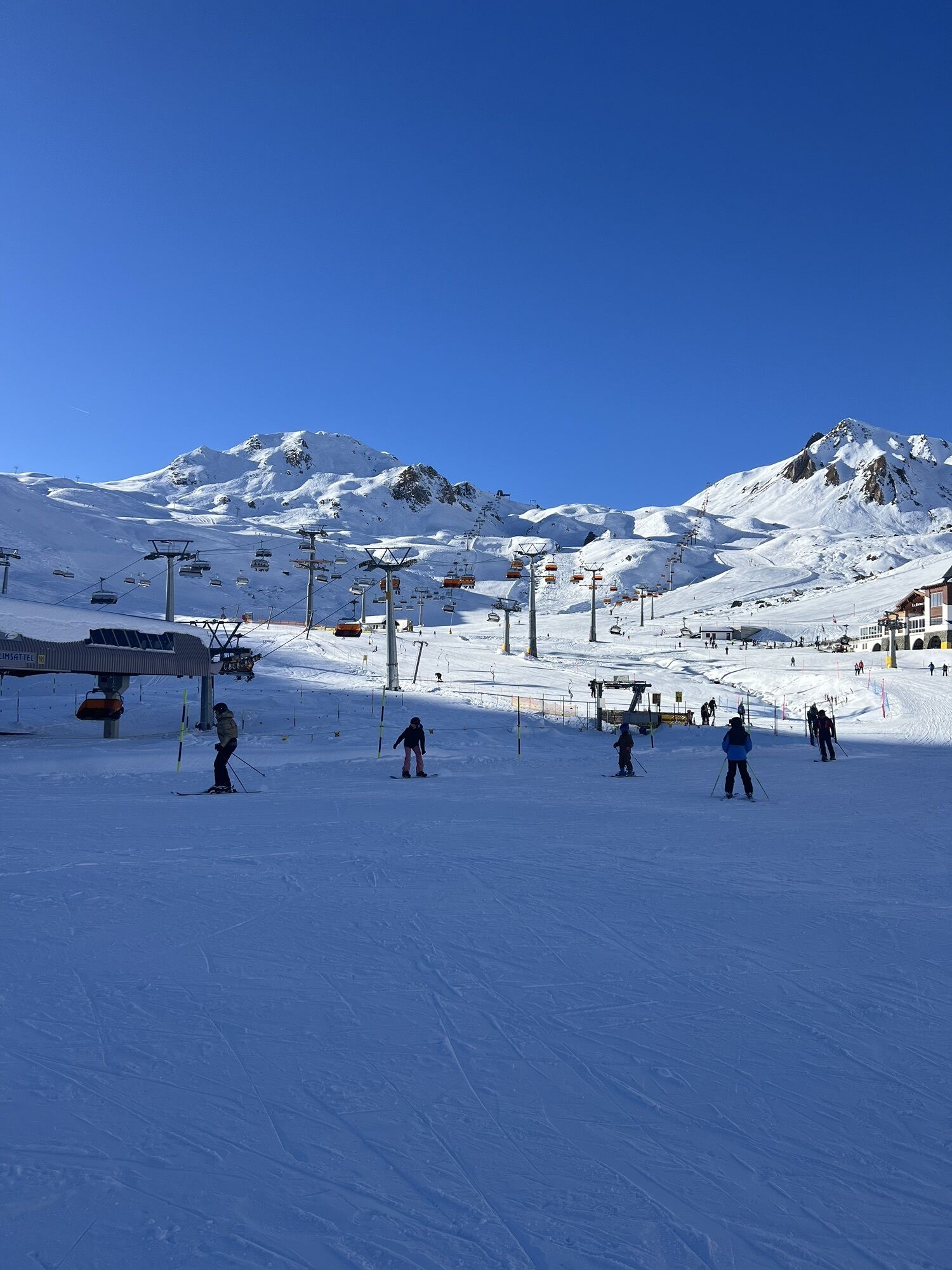
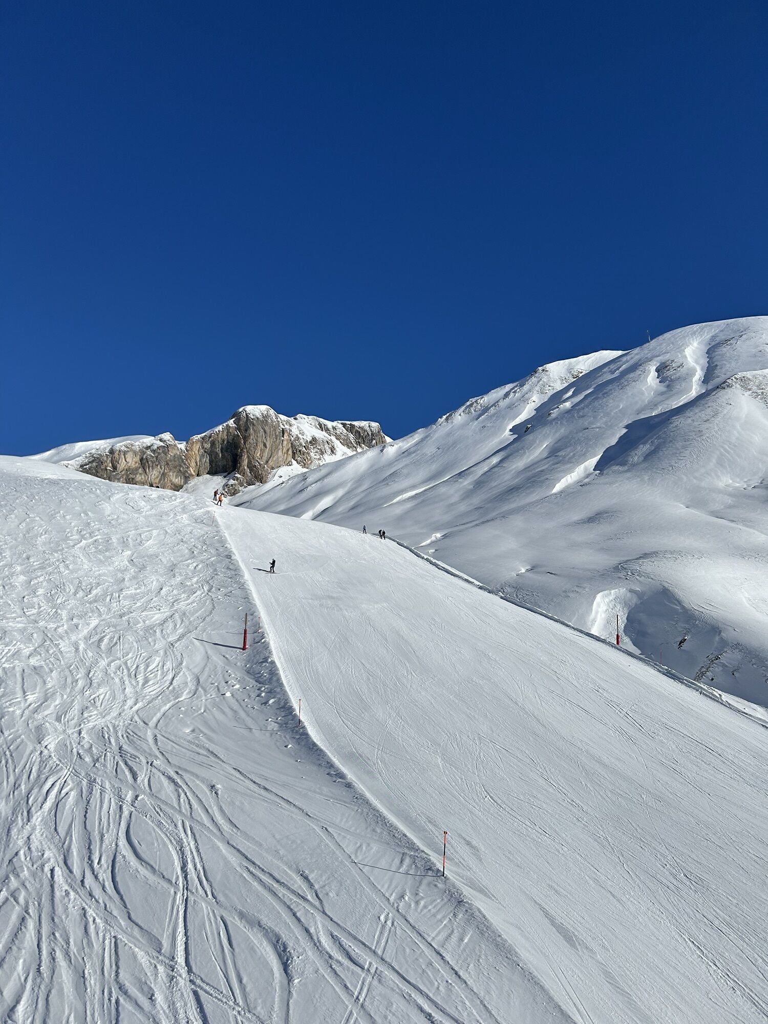
You reach the starting point by the double-decker train to Alp Trider Sattel and then down with the Sattelbahn N6 to Alp Trida. Alp Trida literally means "deserted alp" in Romansh. Countless boulders lie...
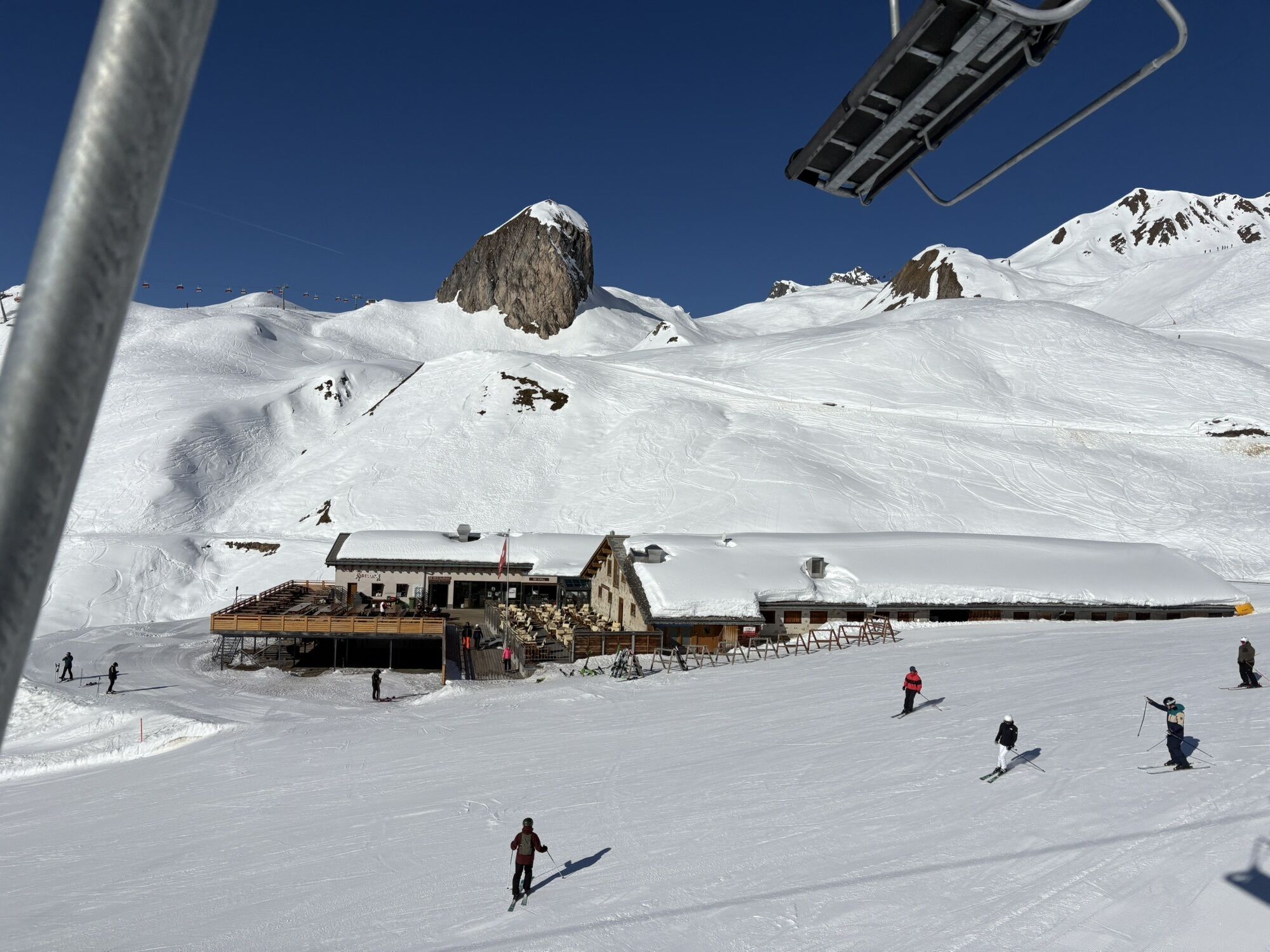
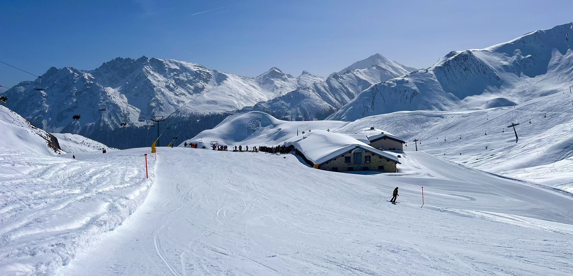
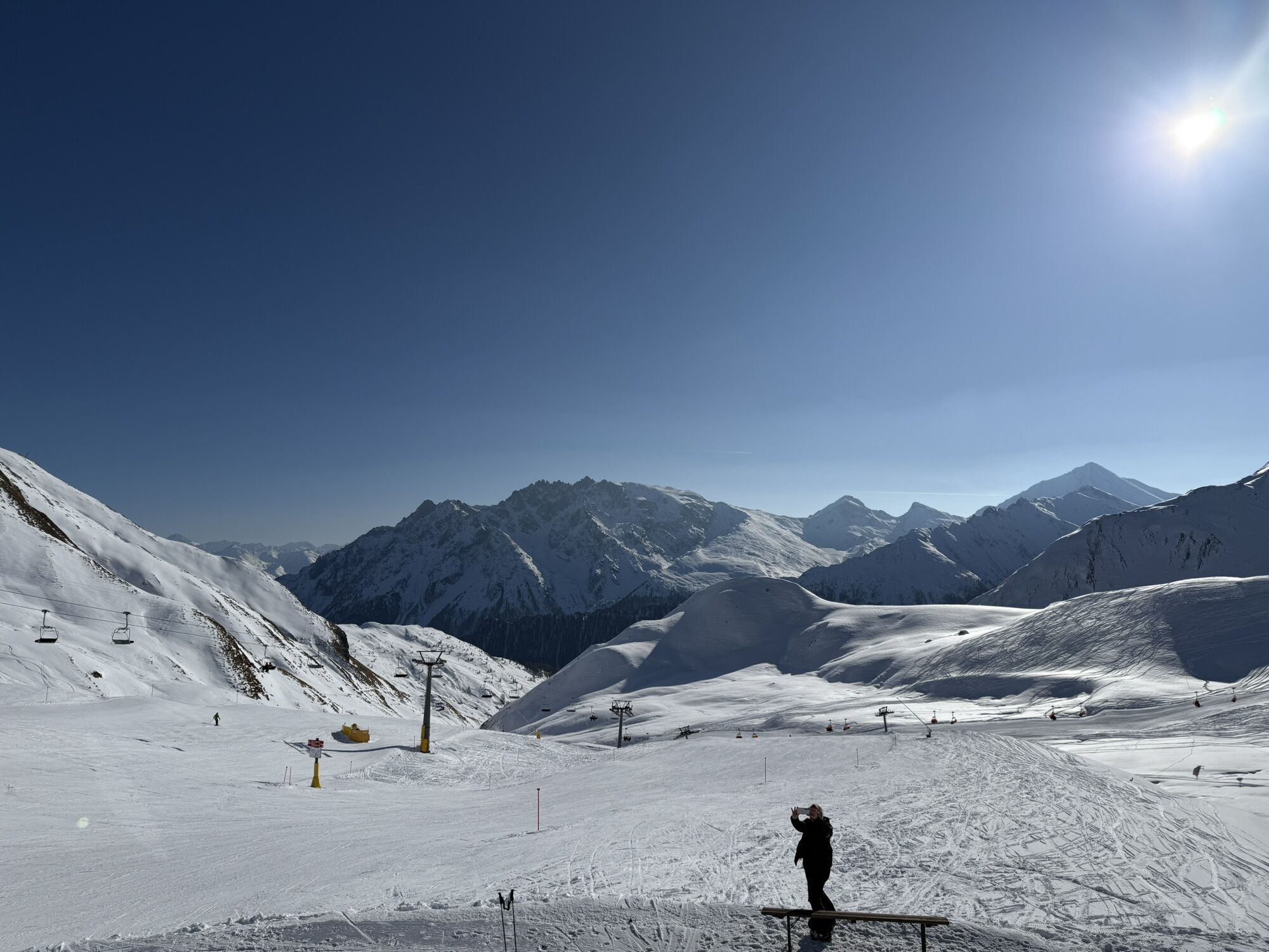
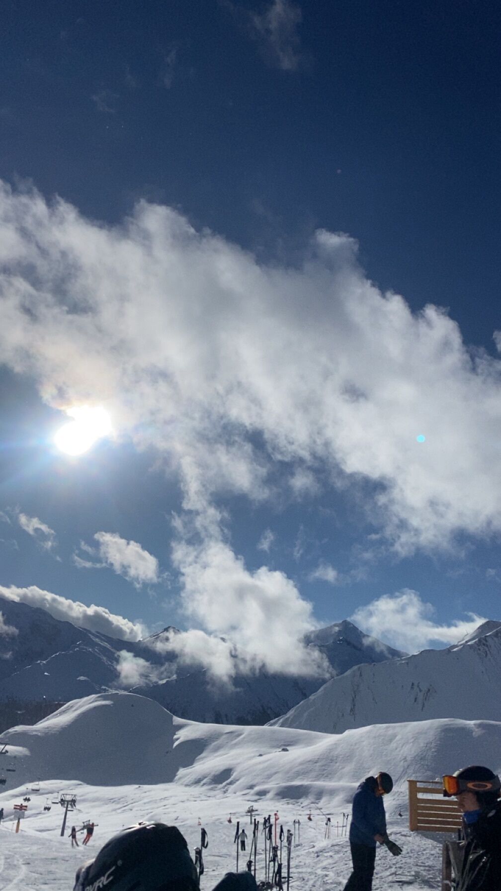
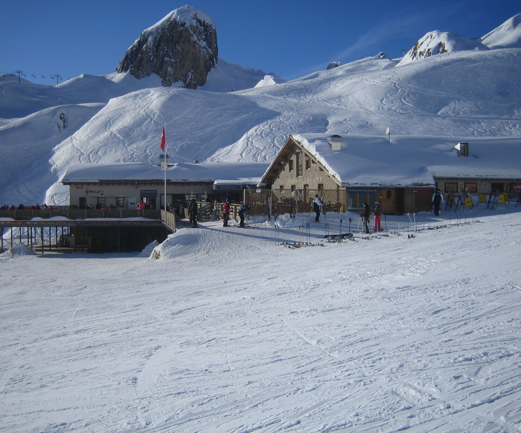
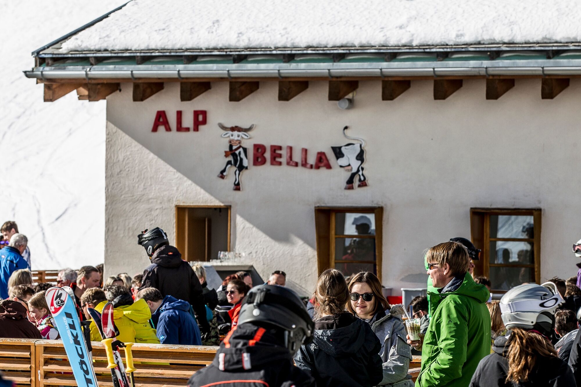
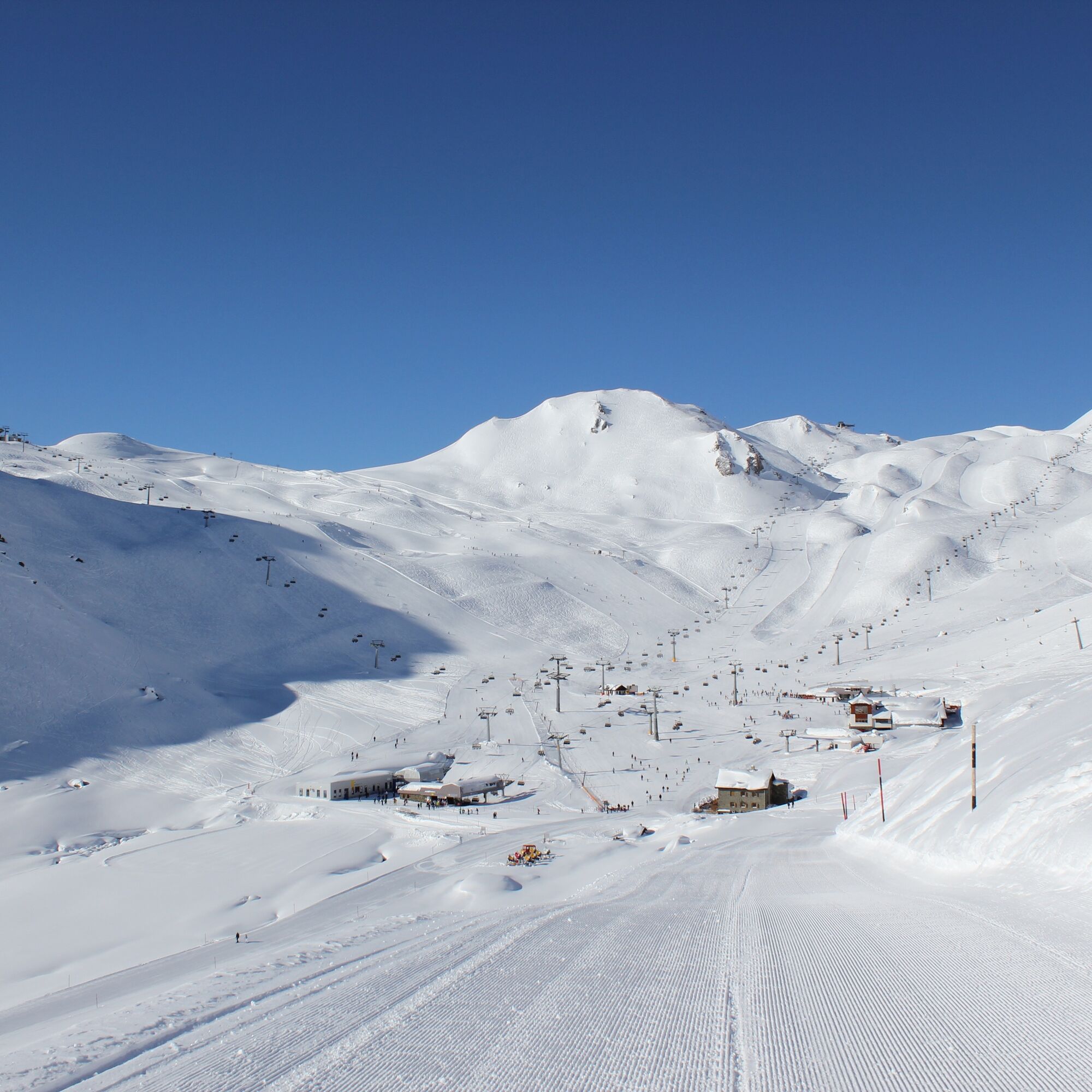
You reach the starting point by the double-decker train to Alp Trider Sattel and then down with the Sattelbahn N6 to Alp Trida. Alp Trida literally means "deserted alp" in Romansh. Countless boulders lie on the alp, which fell long ago from Bürkelkopf and Flimspitz and were distributed over Alp Trida by a glacier. In winter, the rocks are hardly visible under the thick snow layer. Near the Skihaus Alp Trida restaurant, the path first runs 200 m along piste 68b uphill, then steadily and gently ascending to Alp Bella, the "beautiful alp" (2380 m above sea level). There are hardly any boulders on Alp Bella, hence the name. Winter hikers enjoy the panorama of Piz Mundin, Muttler, and the Ötztal Alps. In summer, this is one of the highest cow alps in Europe. The path from milk to cheese is covered here in Samnaun by a milk pipeline transporting milk from the alp directly to the cheese maker. In winter, the culinary offer invites skiers and hikers to linger. From Alp Bella, the round rock formation "at the church" can also be seen, an impressive geological witness of the Alpine folding.

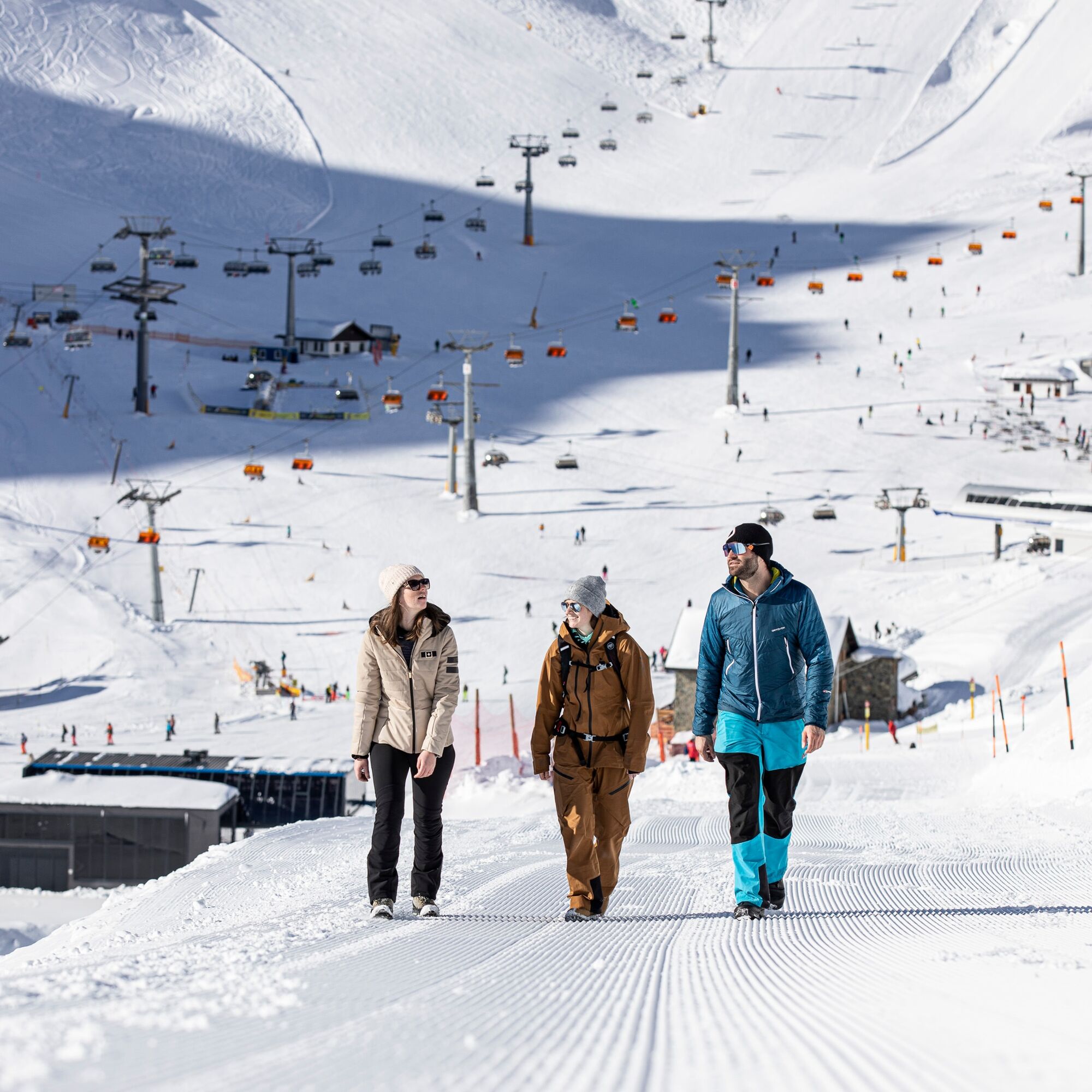
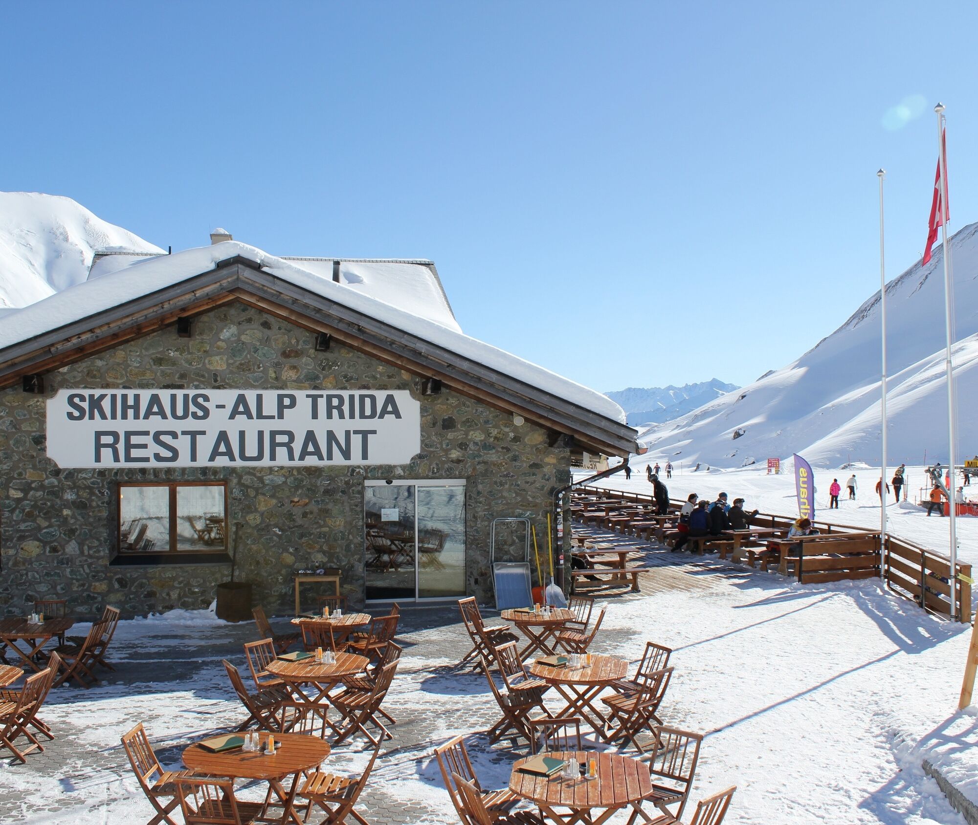
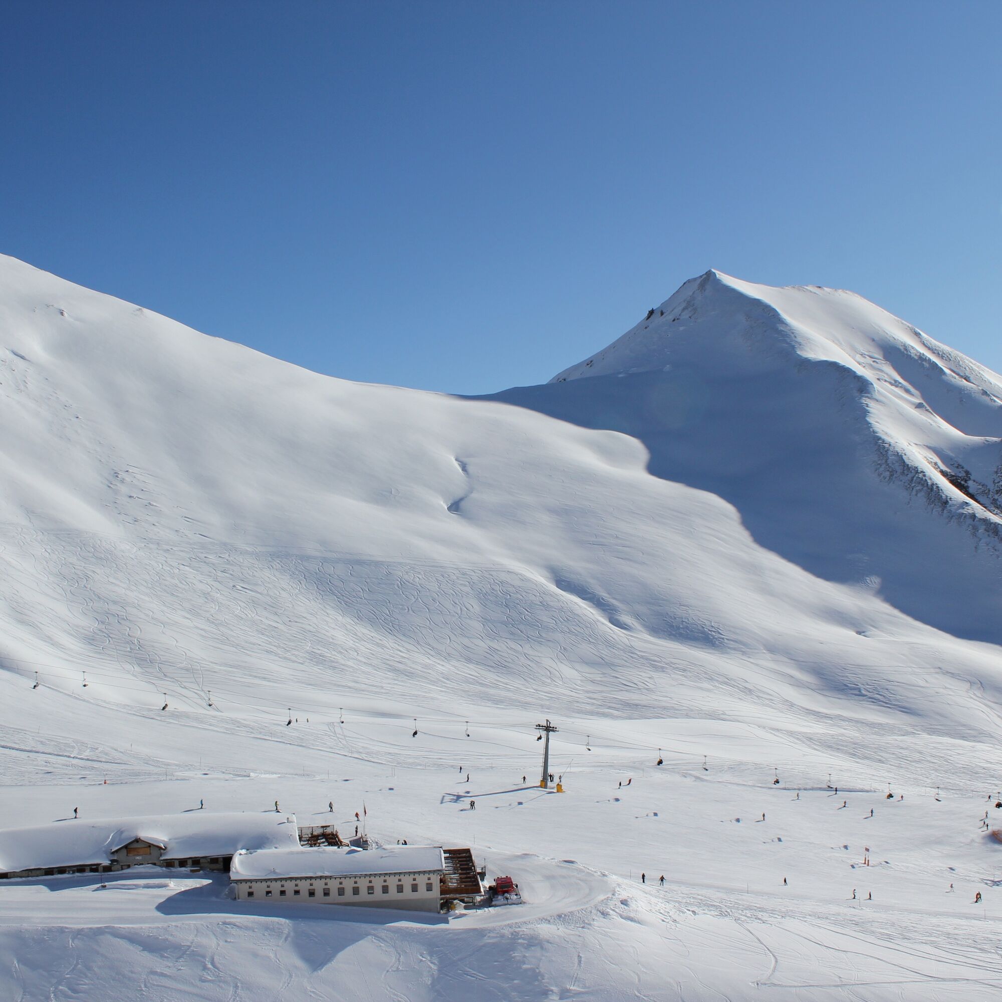
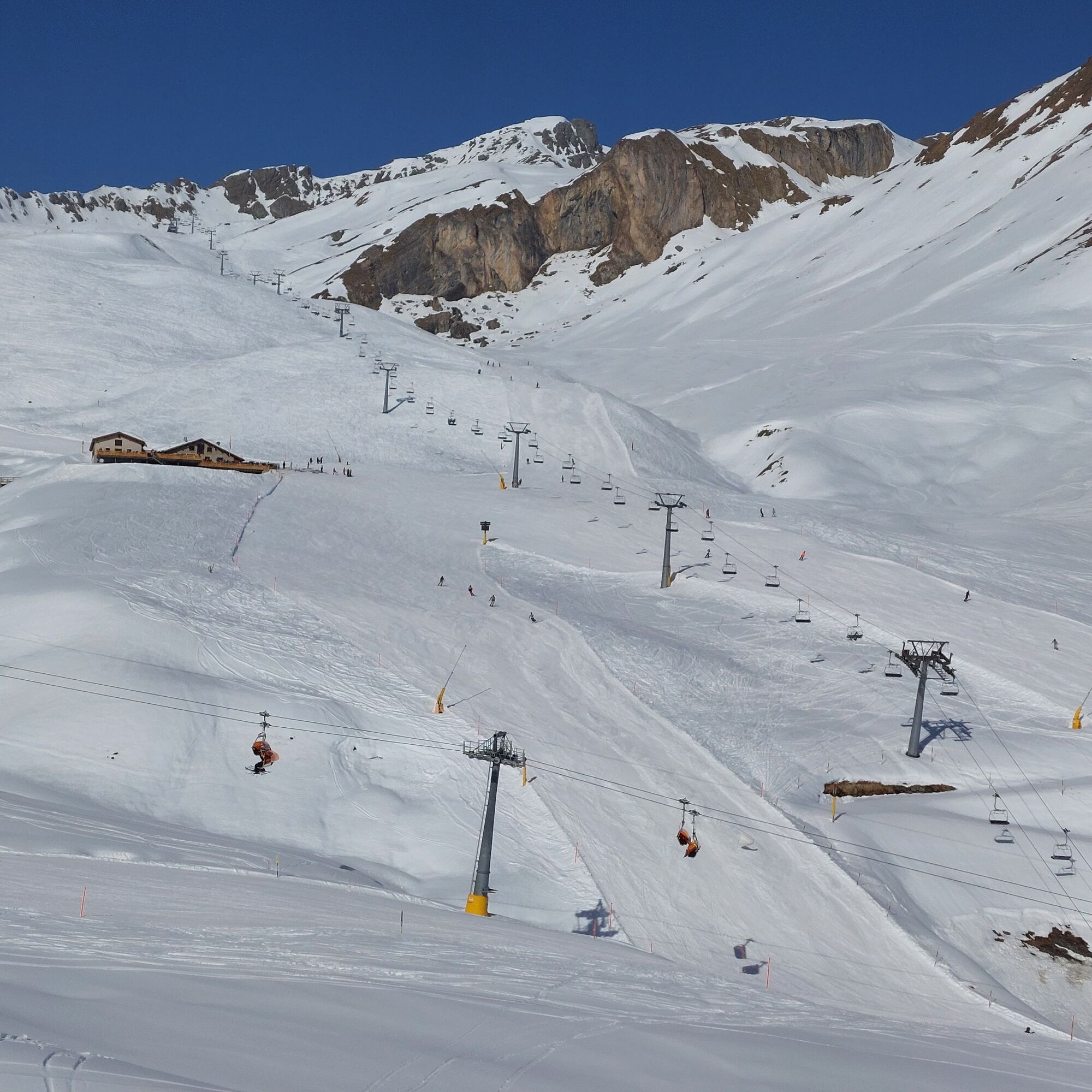
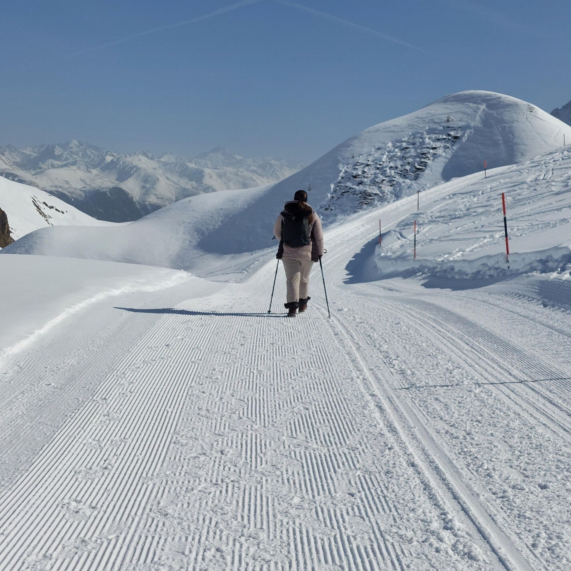
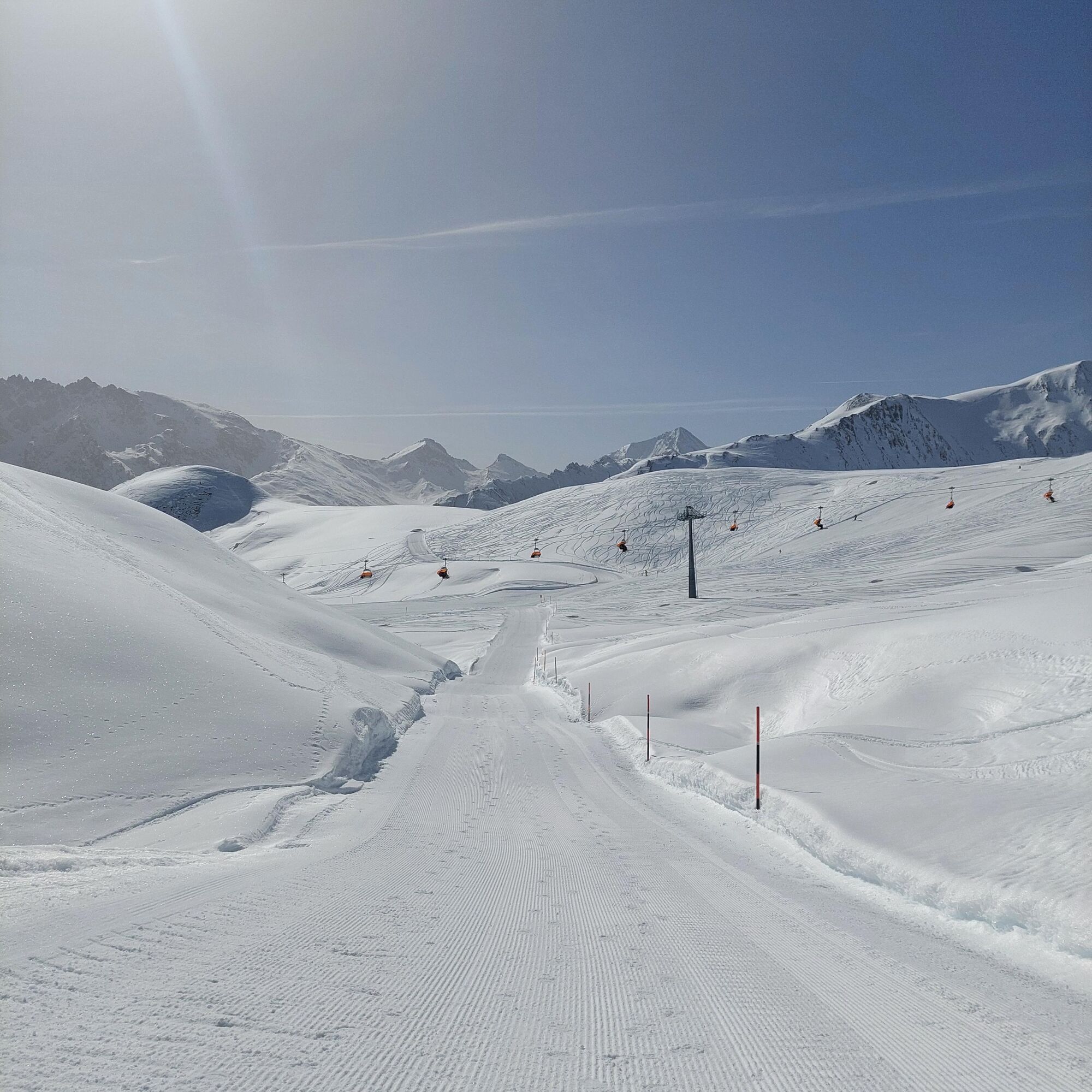
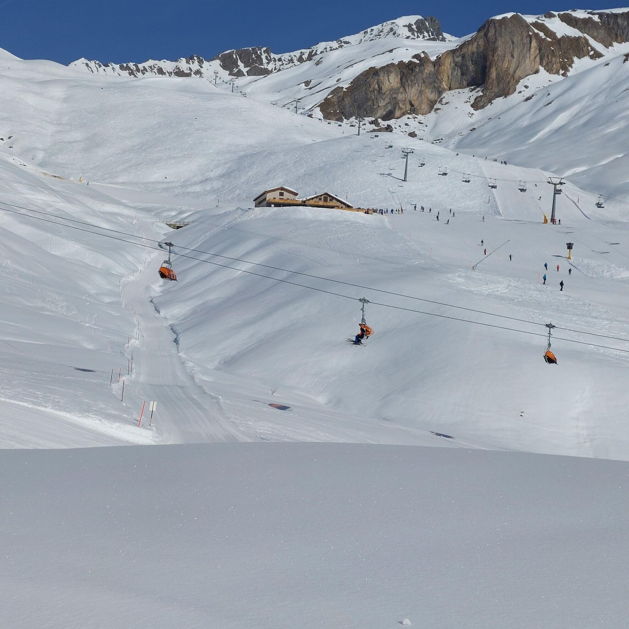
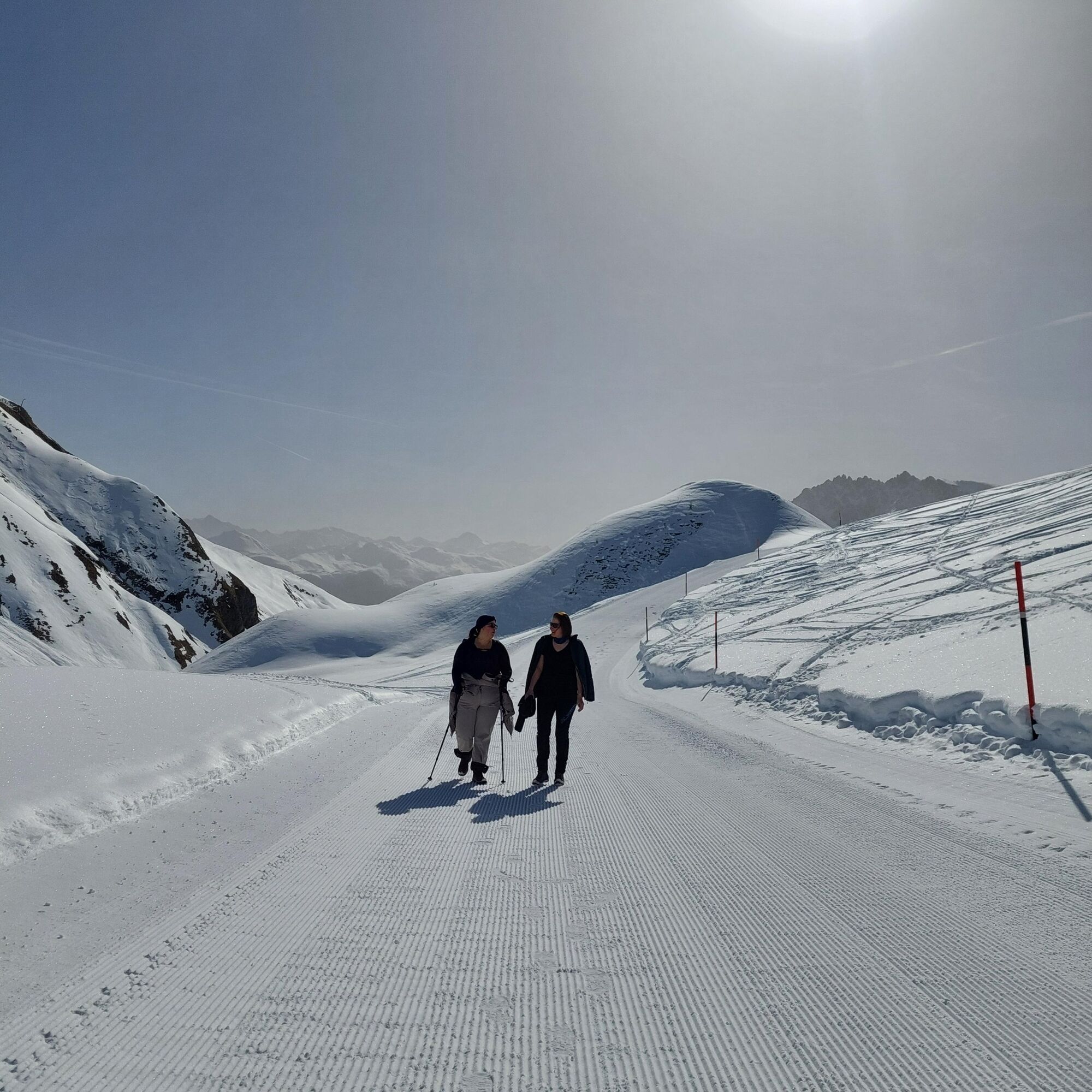
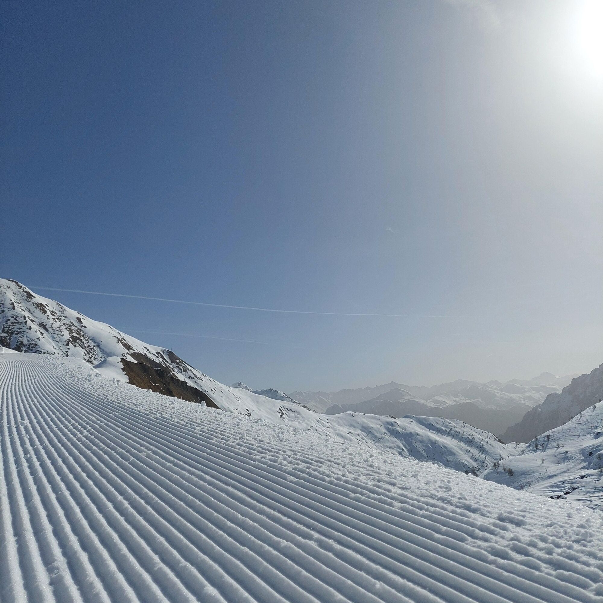
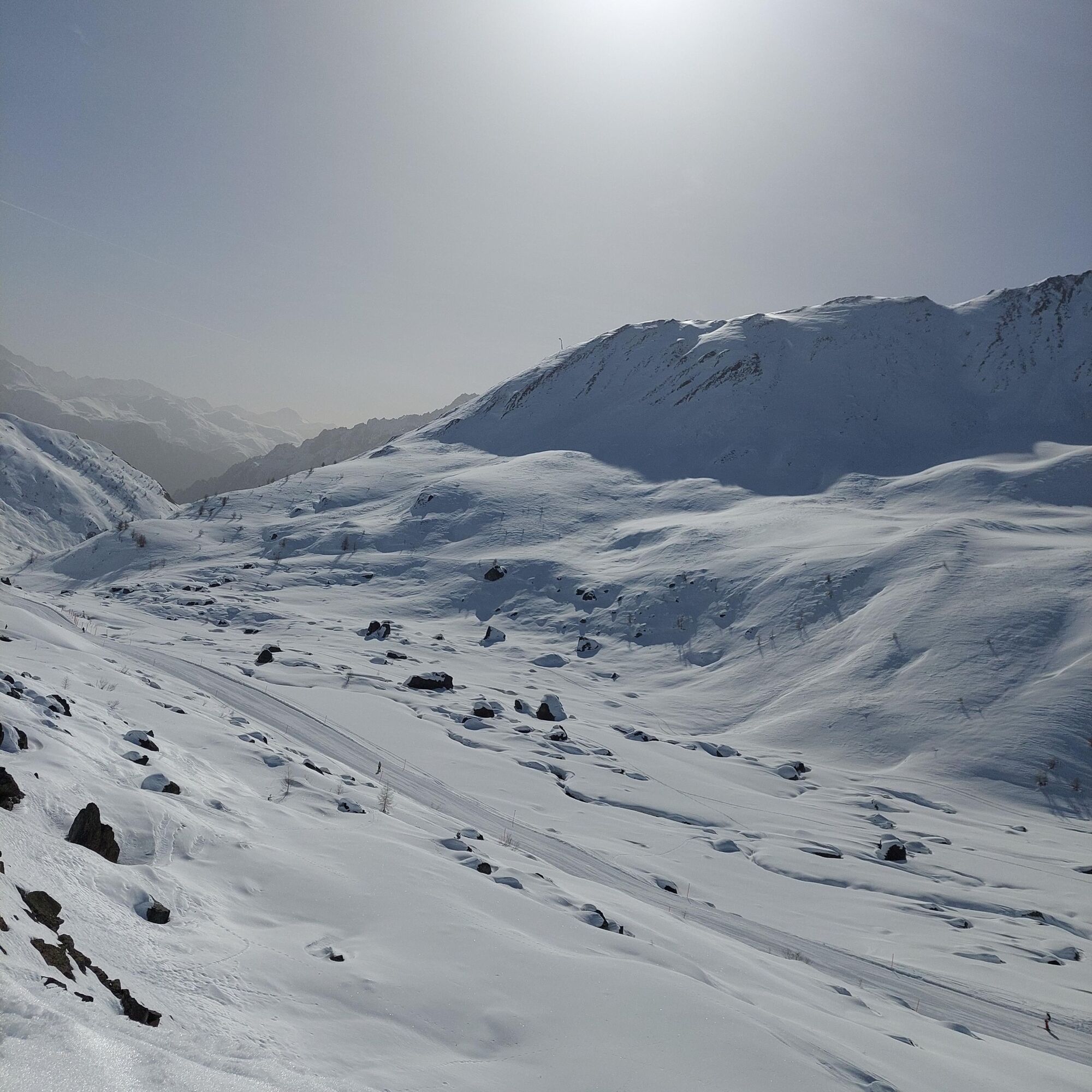
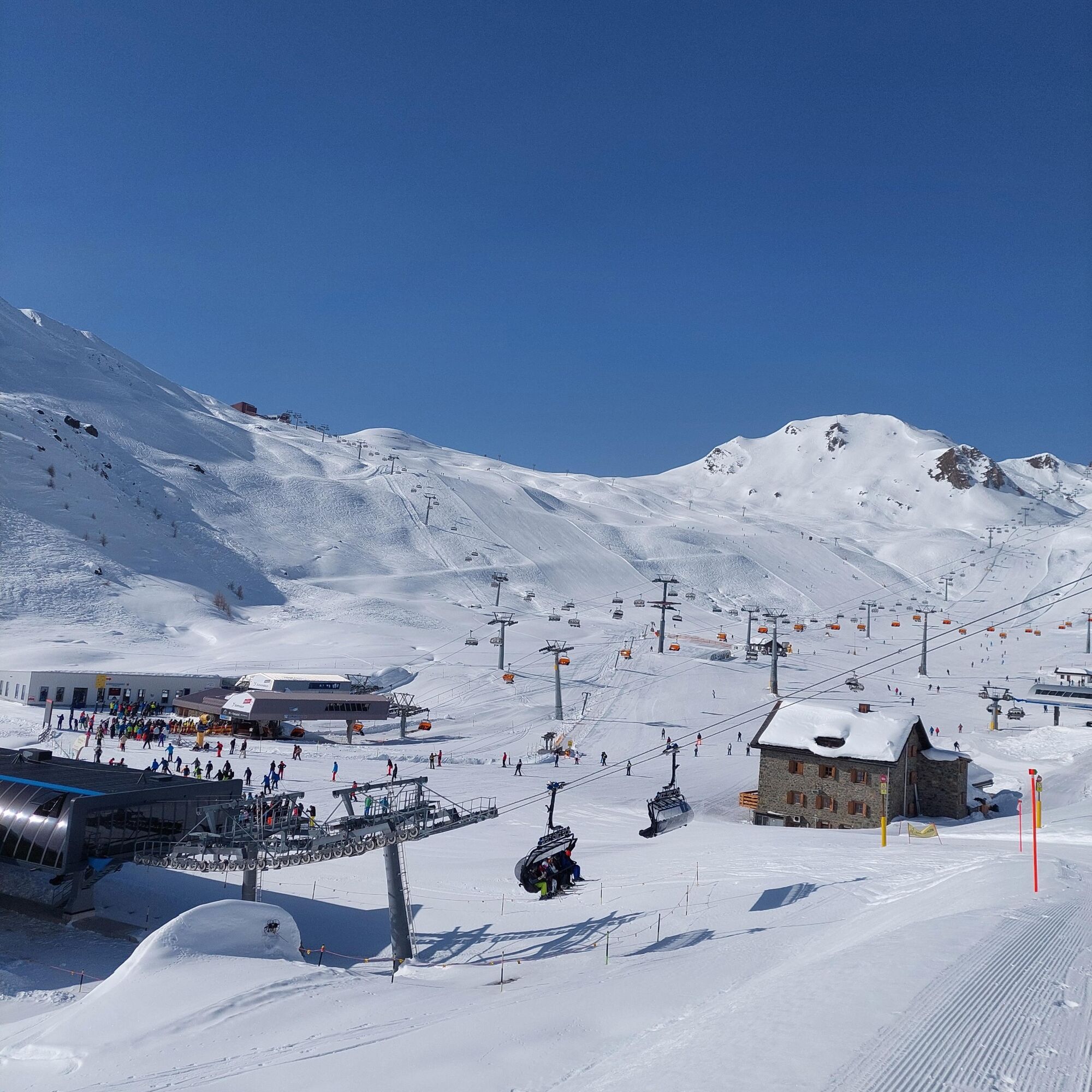

From the Alp Trida Sattel mountain station to the Alp Trida ski house
Continue behind the house to Alp Bella
Return route same as outward journey
Tak
Tak
High and sturdy hiking boots or winter boots, warm clothing, sunscreen, sunglasses, sun protection, hiking poles.
The path is prepared after every snowfall. Please observe the reports in the condition report. The route was rated under favorable weather conditions; current snow and weather conditions must be checked before starting.
Attention: A ski slope is crossed along the way.
Emergency call:
144 emergency call, first aid
1414 mountain rescue REGA
112 international emergency call
Please note: if you travel to Samnaun, you need a valid travel document (passport, ID), as you pass customs in Martina or Spissermühle.
By the Rhaetian Railway (from Chur, Landquart/Prättigau or from Upper Engadin) hourly to Scuol-Tarasp station
Continue with the PostBus to the PostBus stop Samnaun-Ravaisch, mountain railways (line 921, hourly connections)
Local bus Samnaun: hourly connections to Samnaun-Ravaisch, mountain railways
Double-decker train to Alp Trida Sattel: observe the time of last descent
Free public parking at the valley station double-decker train, Samnaun-Ravaisch
2
Uzyskaj wgląd
Zawsze na żywo z ponad 9 500 kamer internetowych. bergfex Jako użytkownik Pro, możesz teraz zobaczyć odpowiednie kamery internetowe dla wielu wycieczek w aplikacji wycieczki od. Pozwala to na bezpośredni podgląd aktualnych warunków.
Popularne wycieczki w okolicy
-
4,7
Murmeltierwanderweg
średniWędrówka 6,87 km -
4,2
St Anton zur Darmstädter Hütte
ciężkiMountainbike 28,4 km -
4,7
Furgler vom Lazid
ciężkiWycieczka wysokogórska 9,60 km -
4,5
Radurschelklamm
średniWędrówka 7,51 km -
4,5
Sonnenkogel - Friedrichshafener lodge
średniWędrówka 13,2 km -
5,0
Rundwanderung Berglisee, Mathon
ciężkiWędrówka 11,1 km -
5,0
Samnaun Dorf – Muttler
ciężkiWędrówka 14,8 km -
5,0
Kappl, Diasbahn Bergstation, Niederelbehütte, Diasbahn, Österreich
średniWędrówka 10,1 km -
4,7
Around Flimspitz from Alptrider Saddle
średniWędrówka 8,57 km -
4,5
Hoher Riffler
Wędrówka 20,9 km

Wędrówki i tropienie


Nie przegap ofert i inspiracji na następne wakacje
Twój adres e-mail została dodana do listy mailingowej.





