




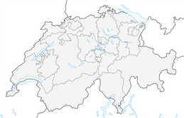


Chamonna Cler

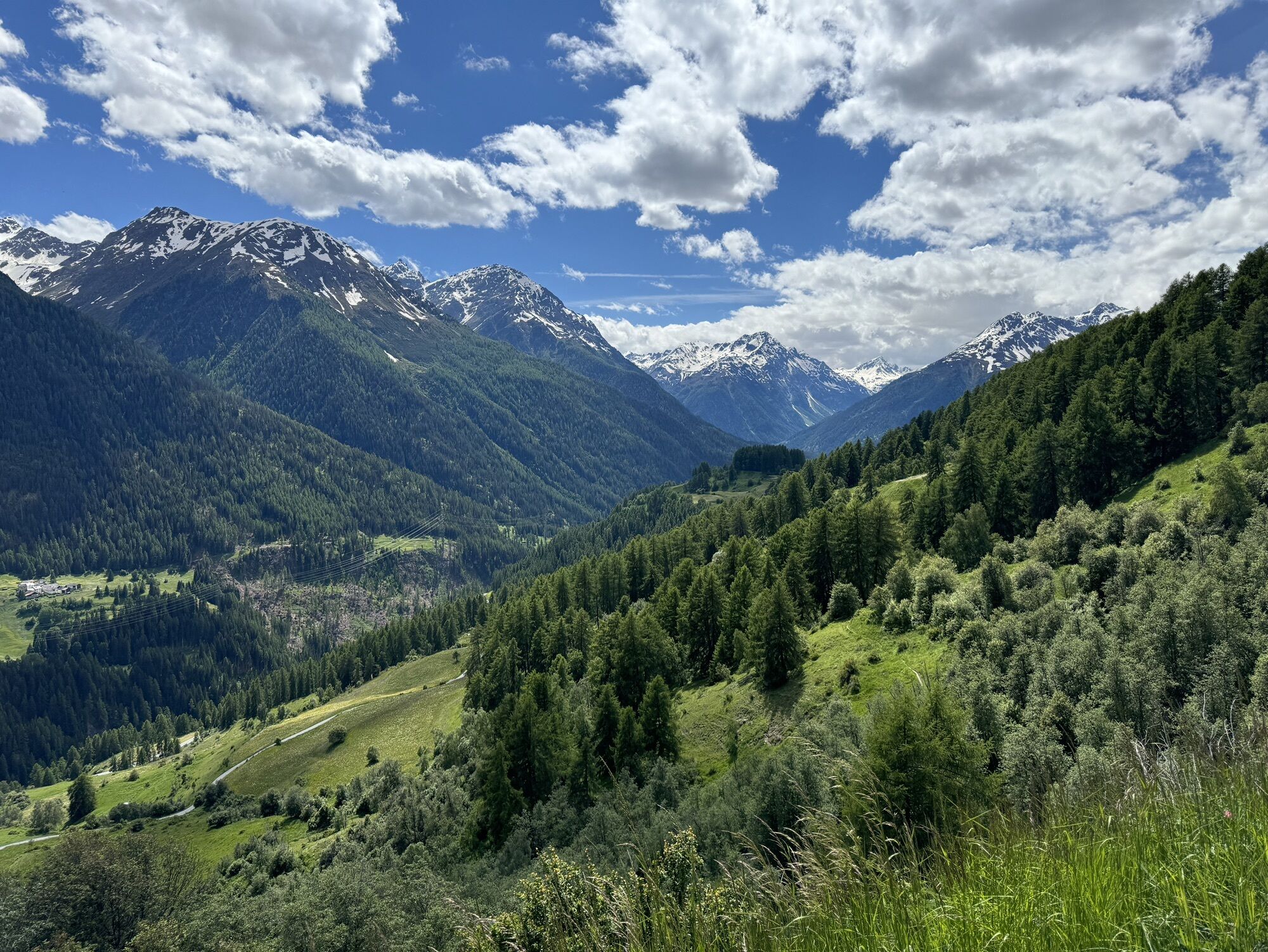
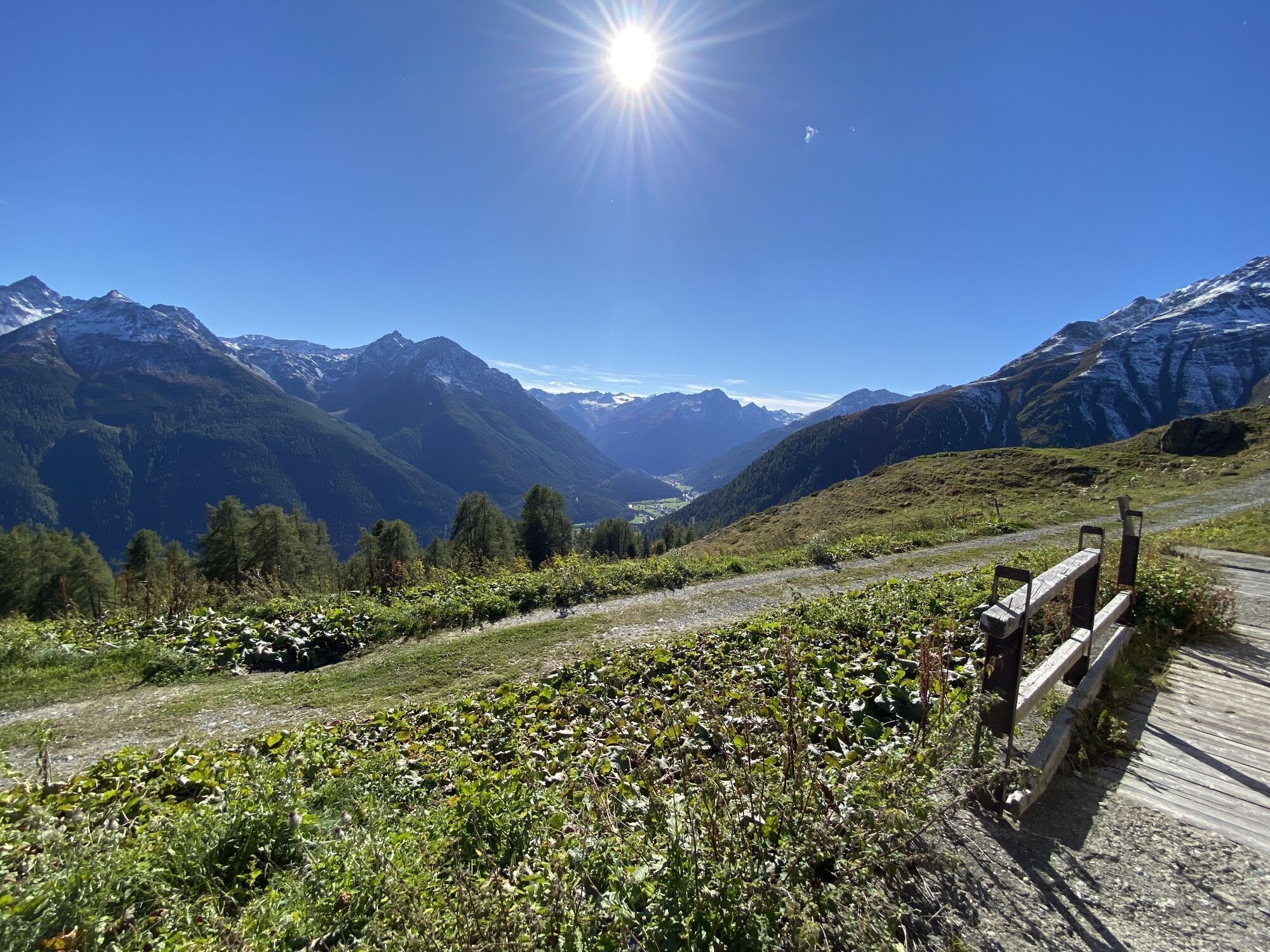
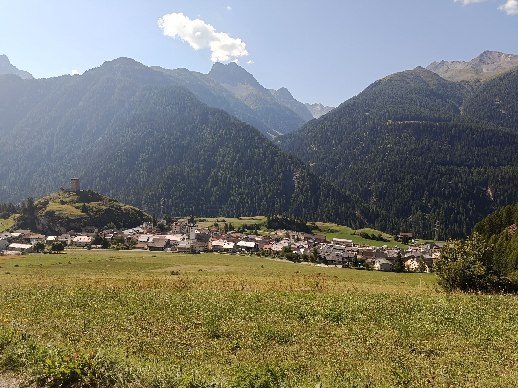

From the center of Guarda heading north, turn right at the reservoir towards the picturesque Lake «Lajet». Here, follow the small stream on the direct path up past the tree line to the hosted Alp Sura....
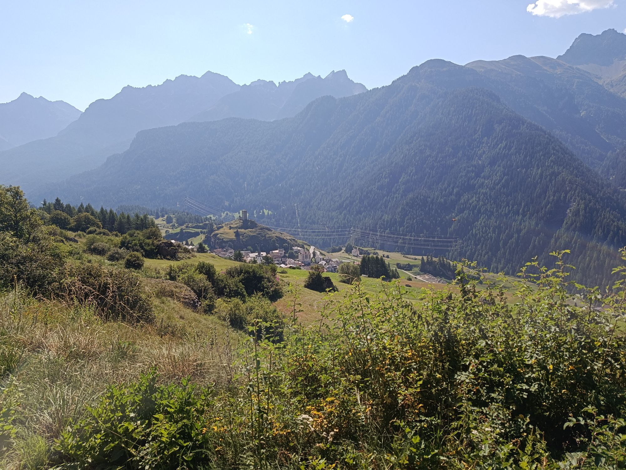
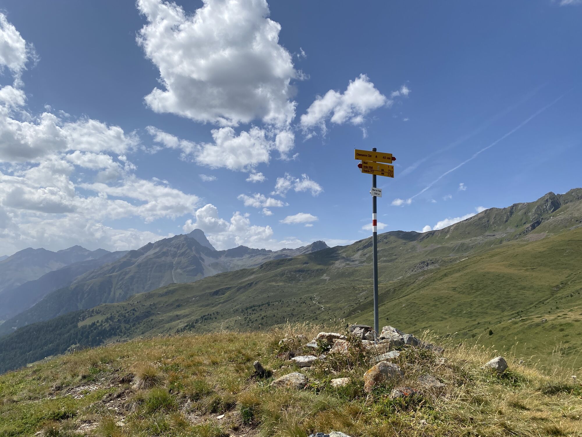
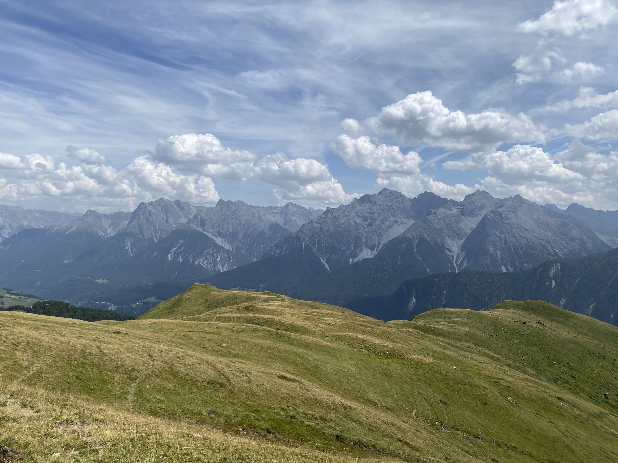
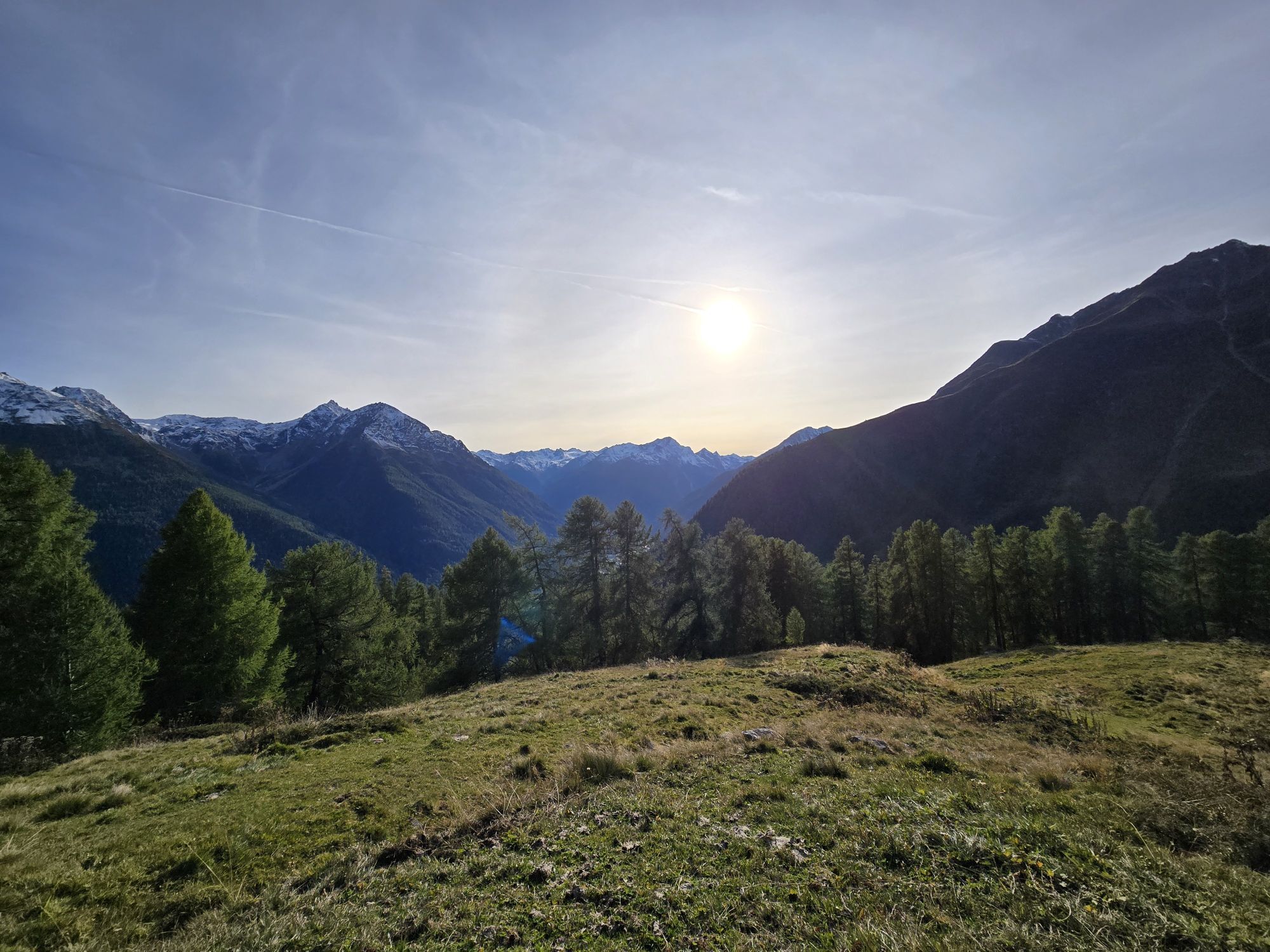
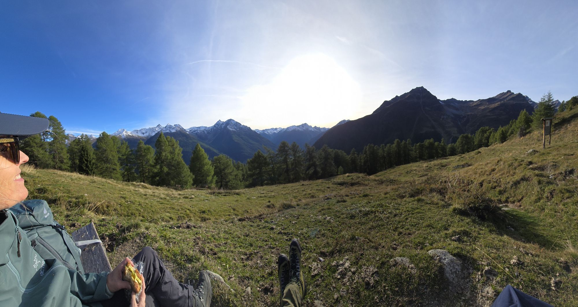
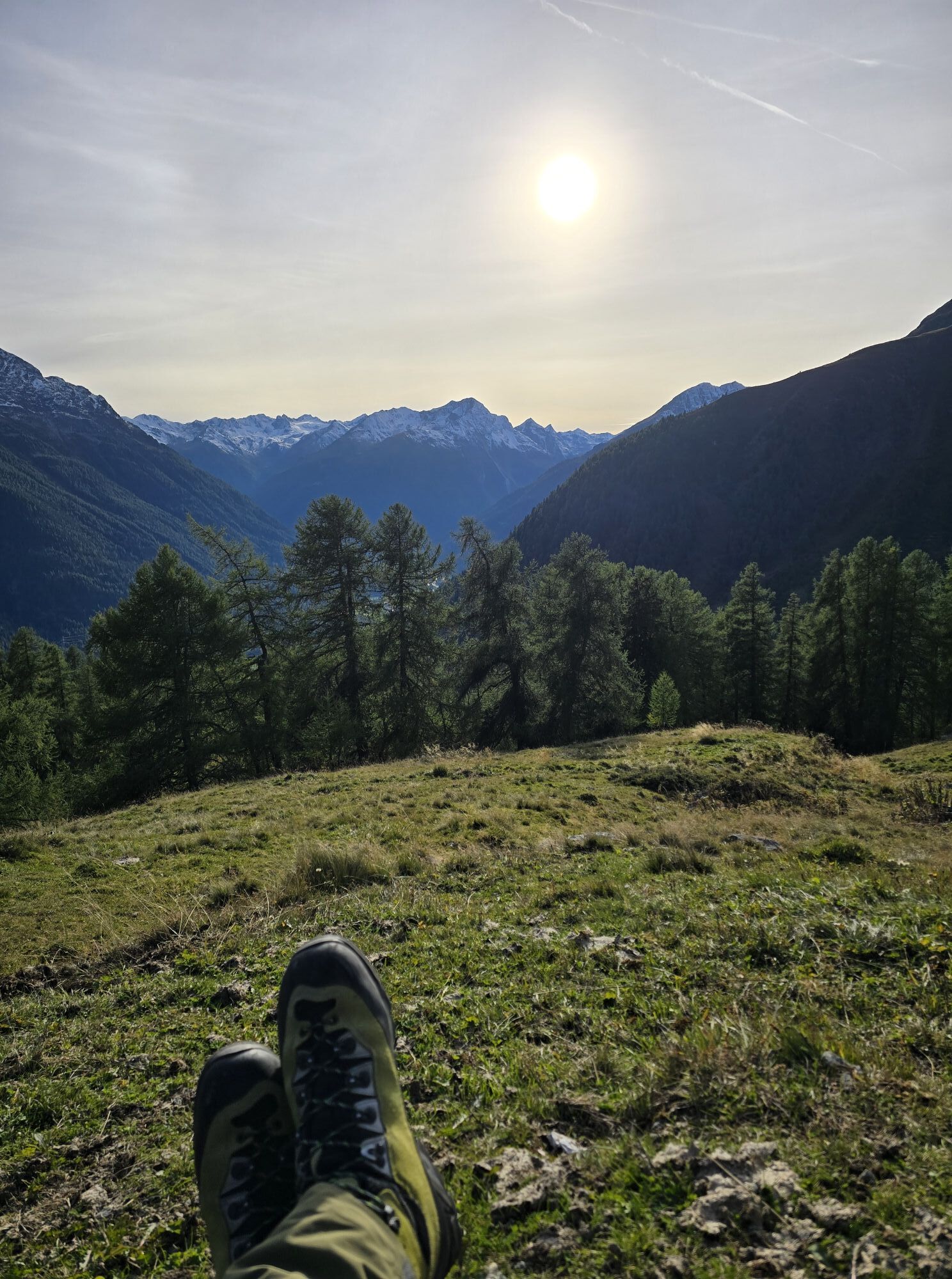
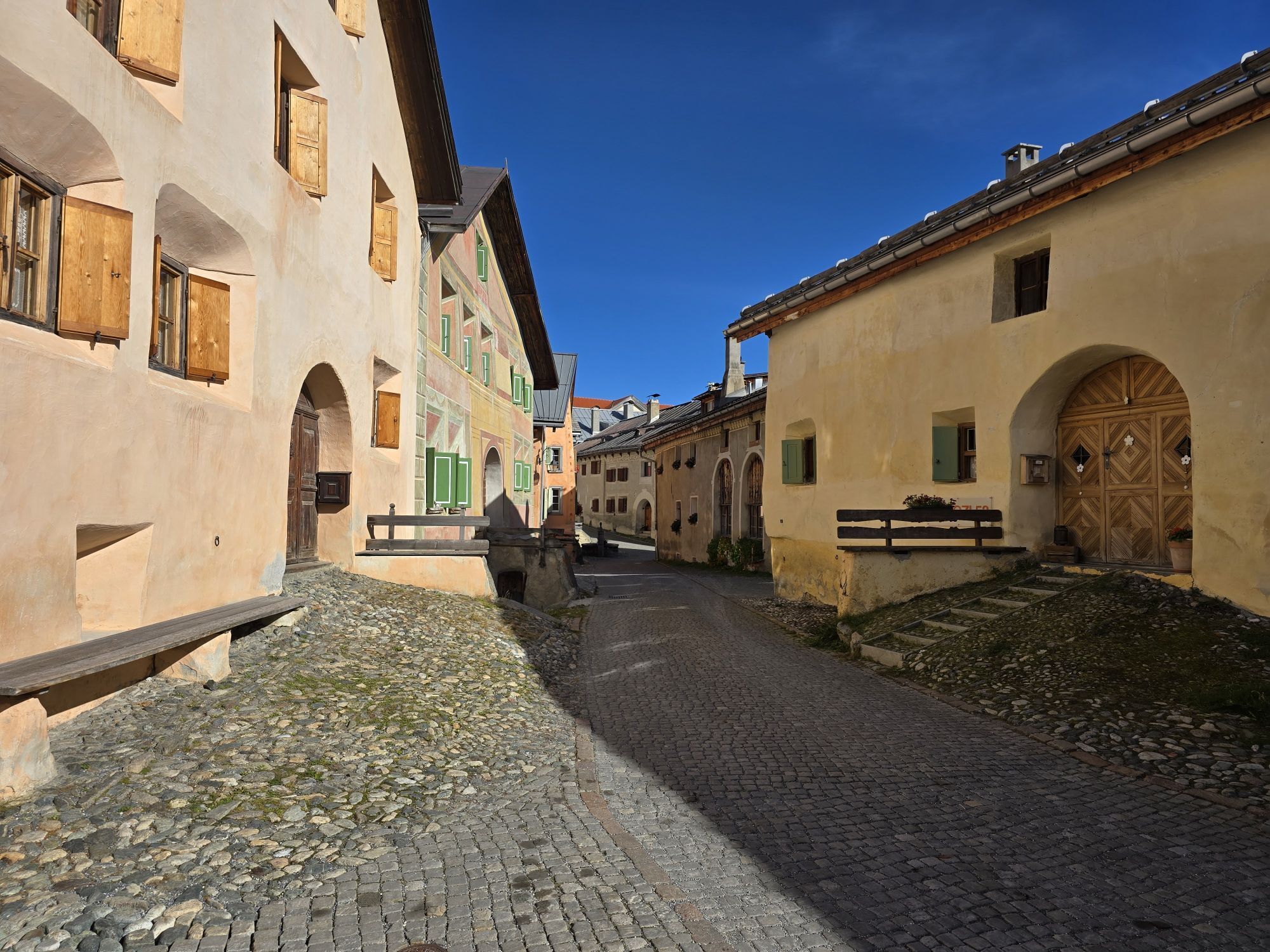
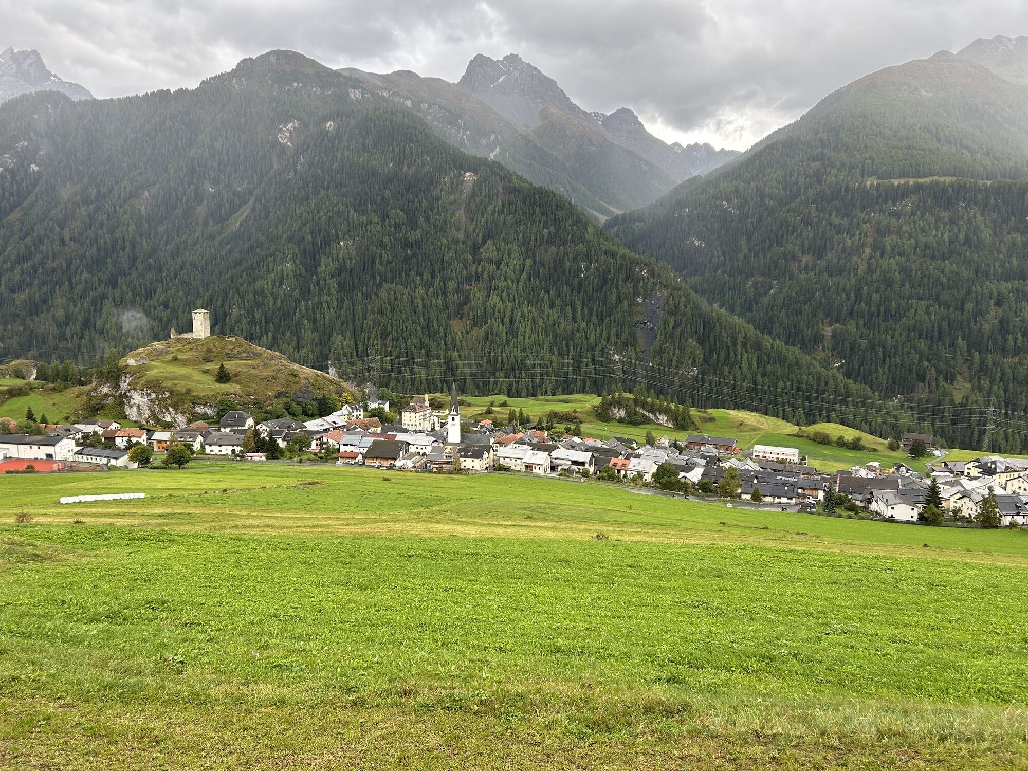
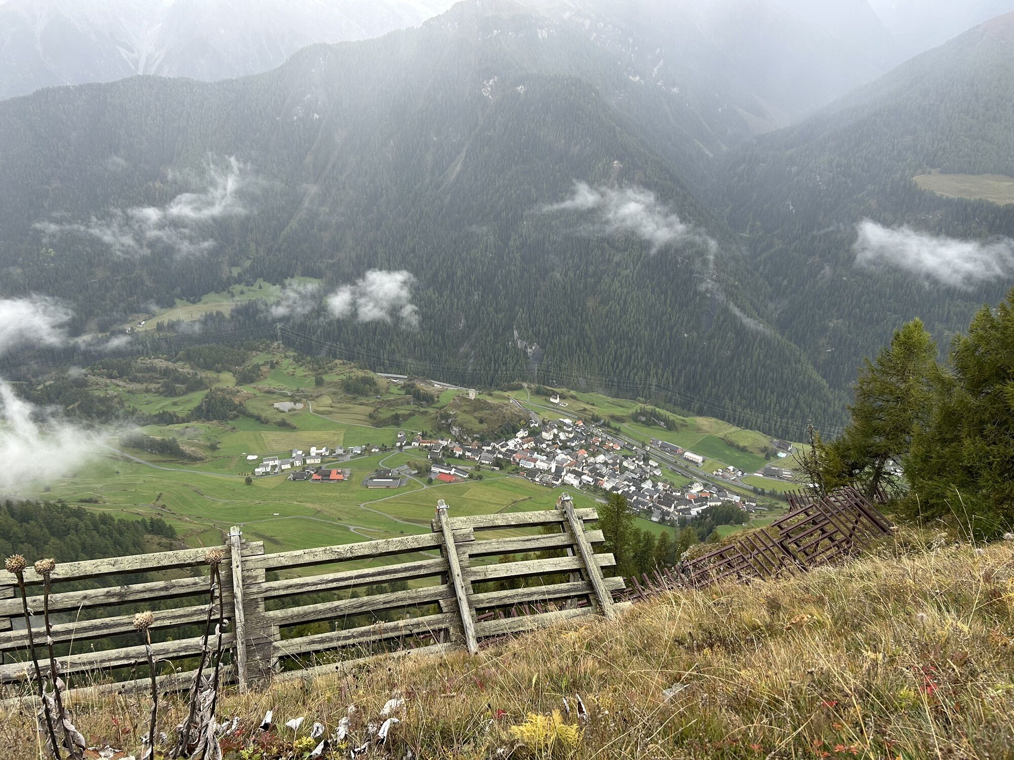
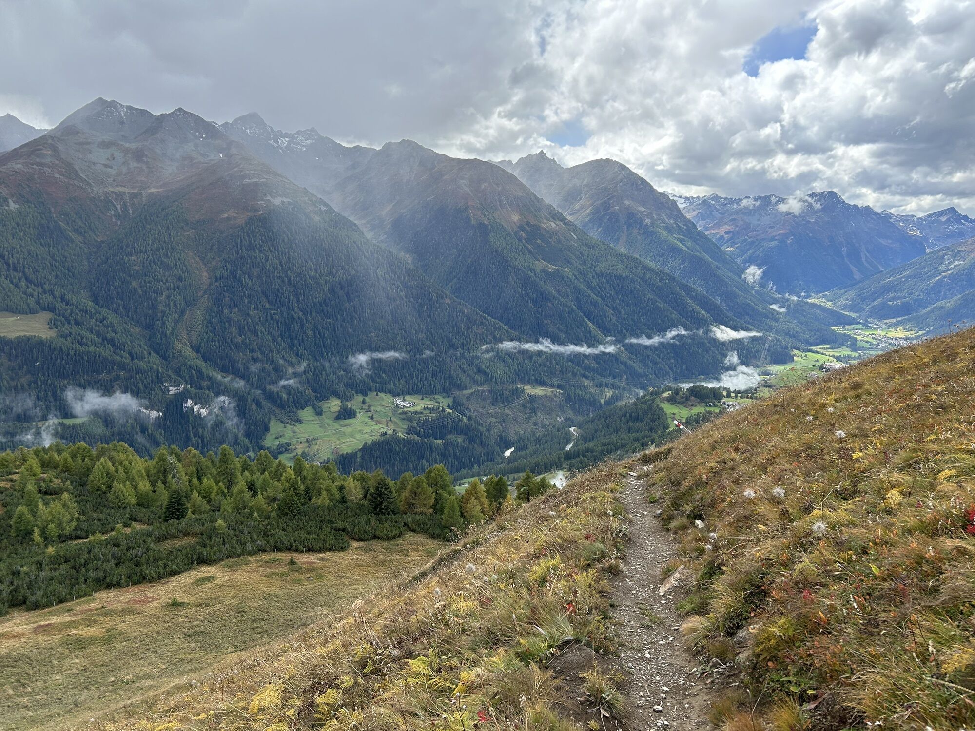
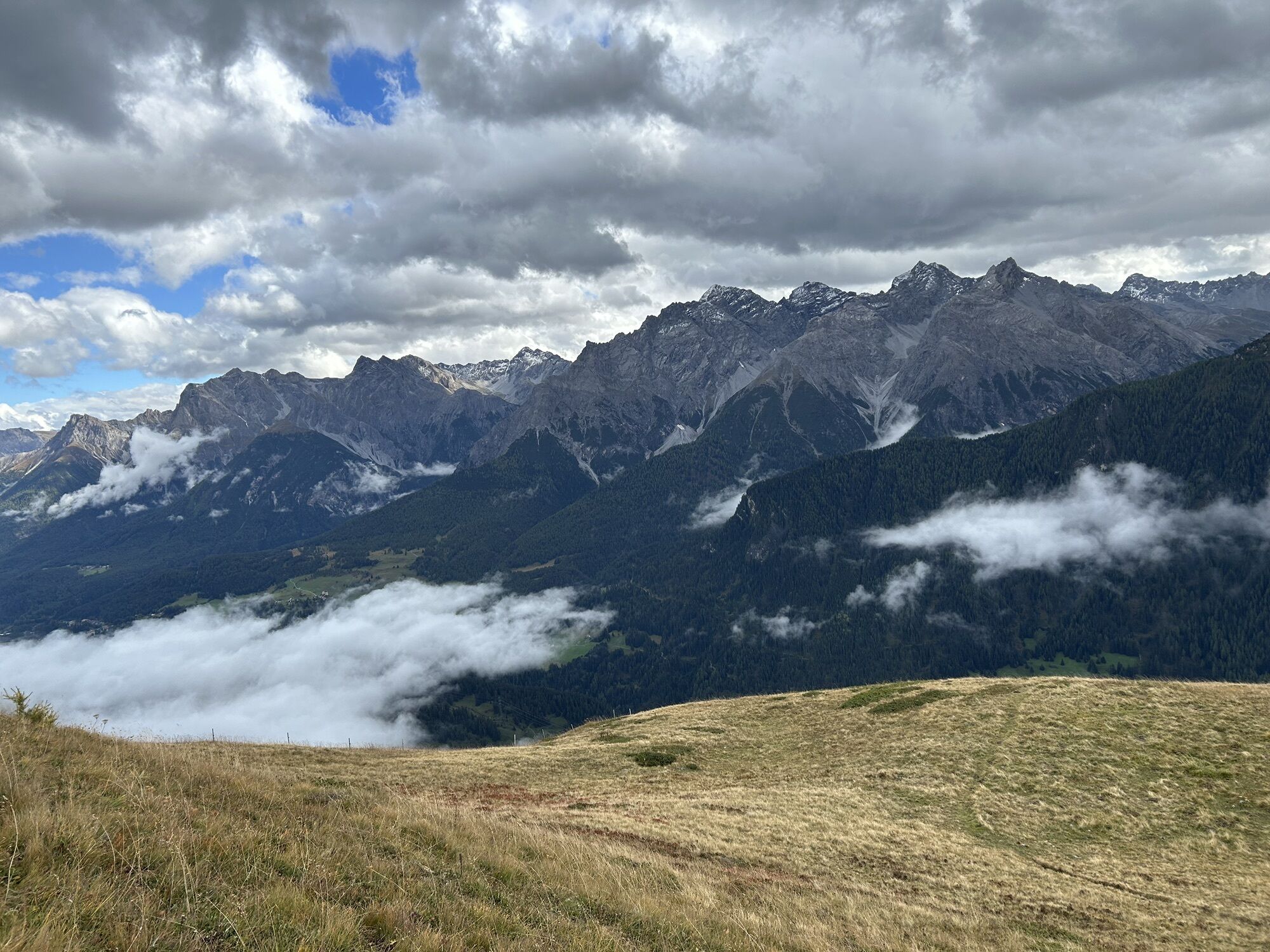
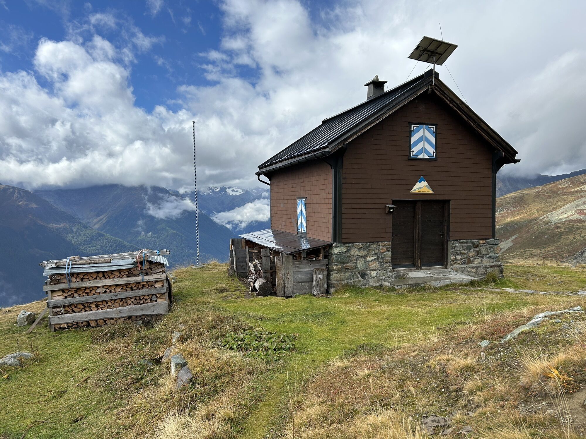
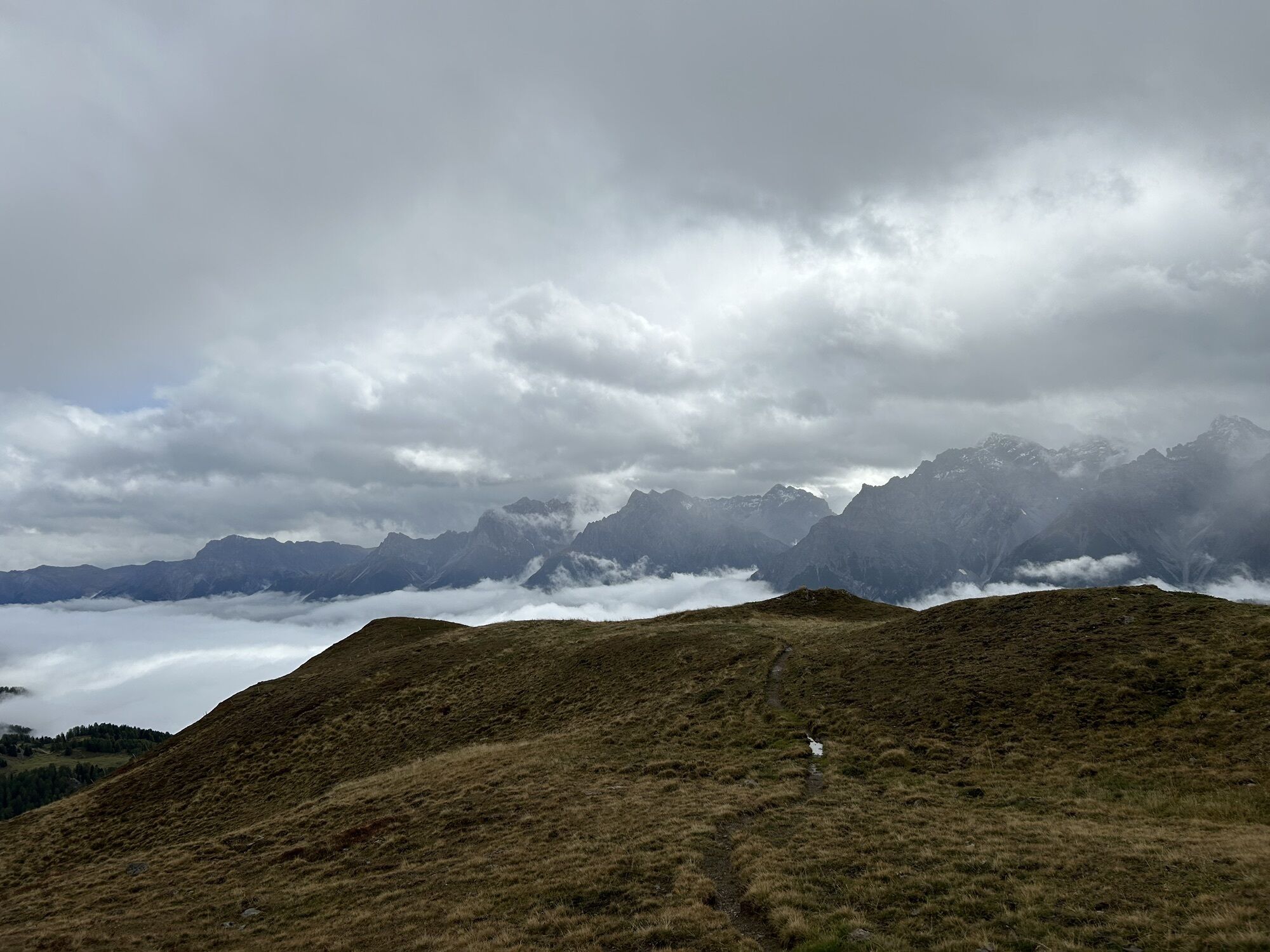
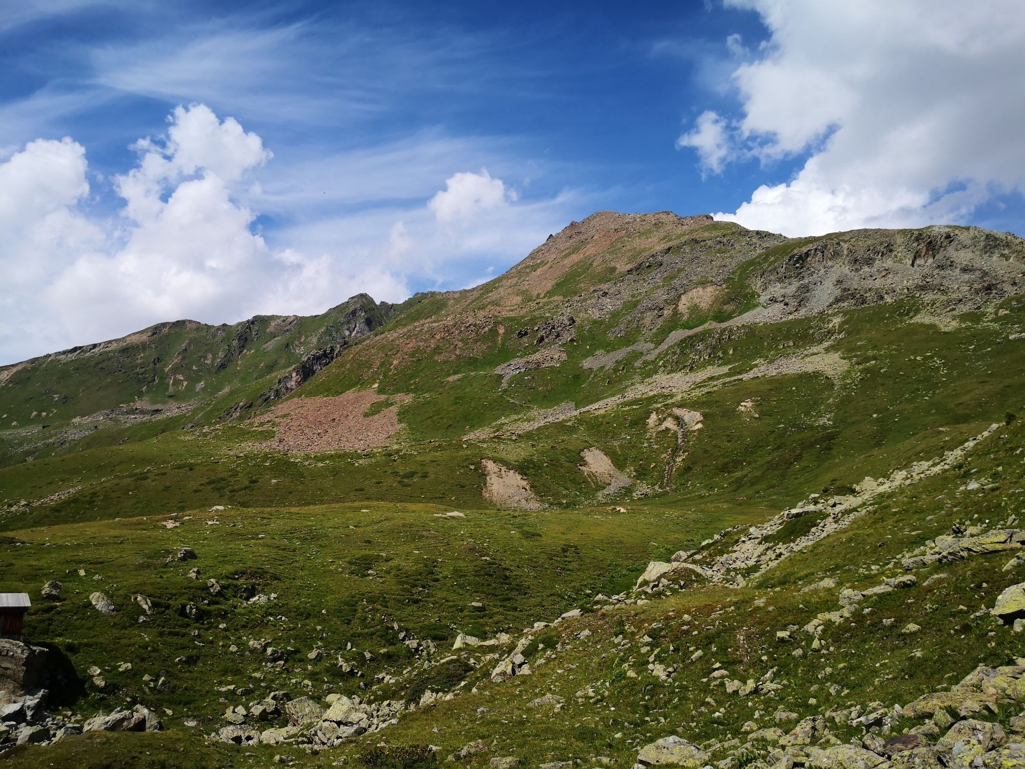
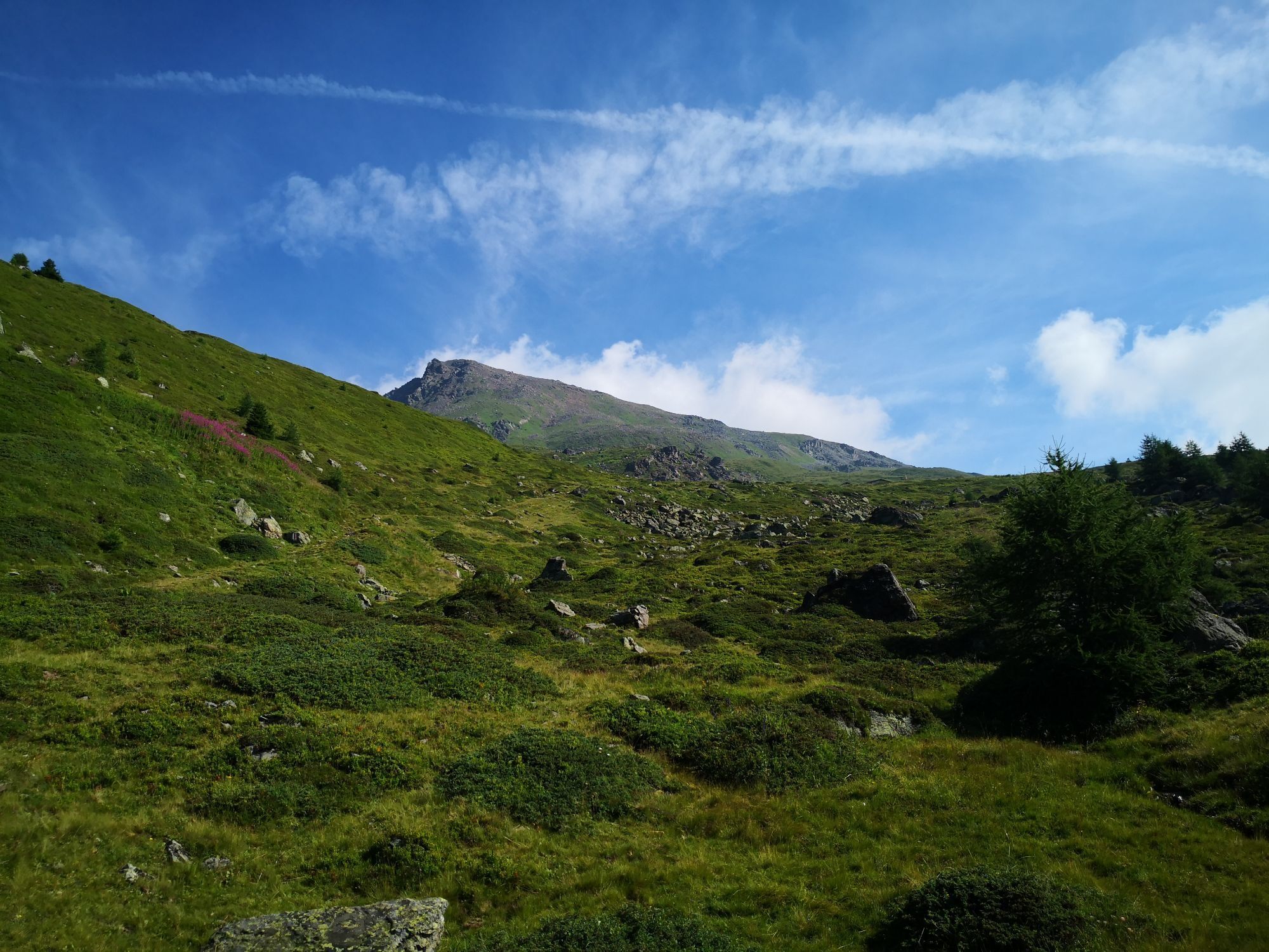
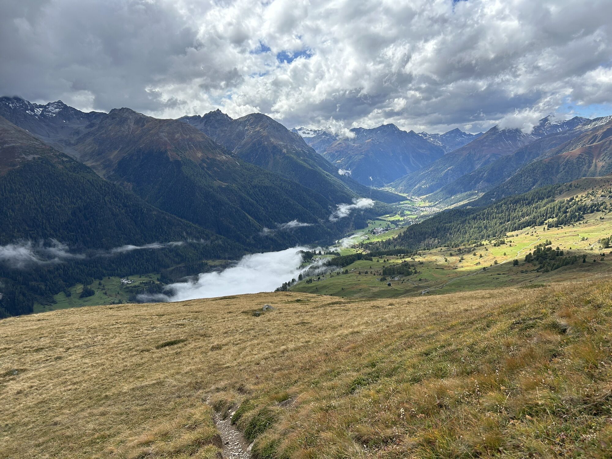
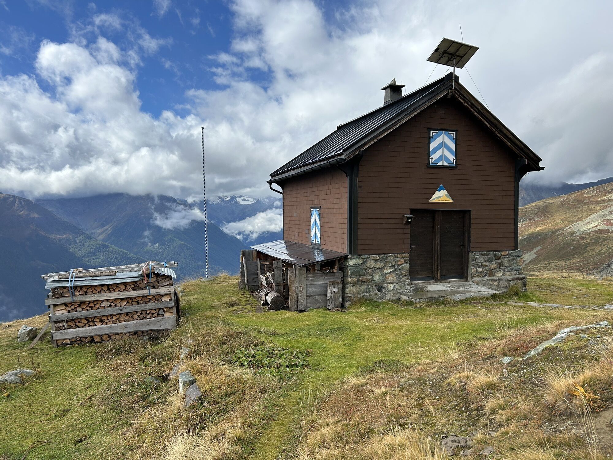
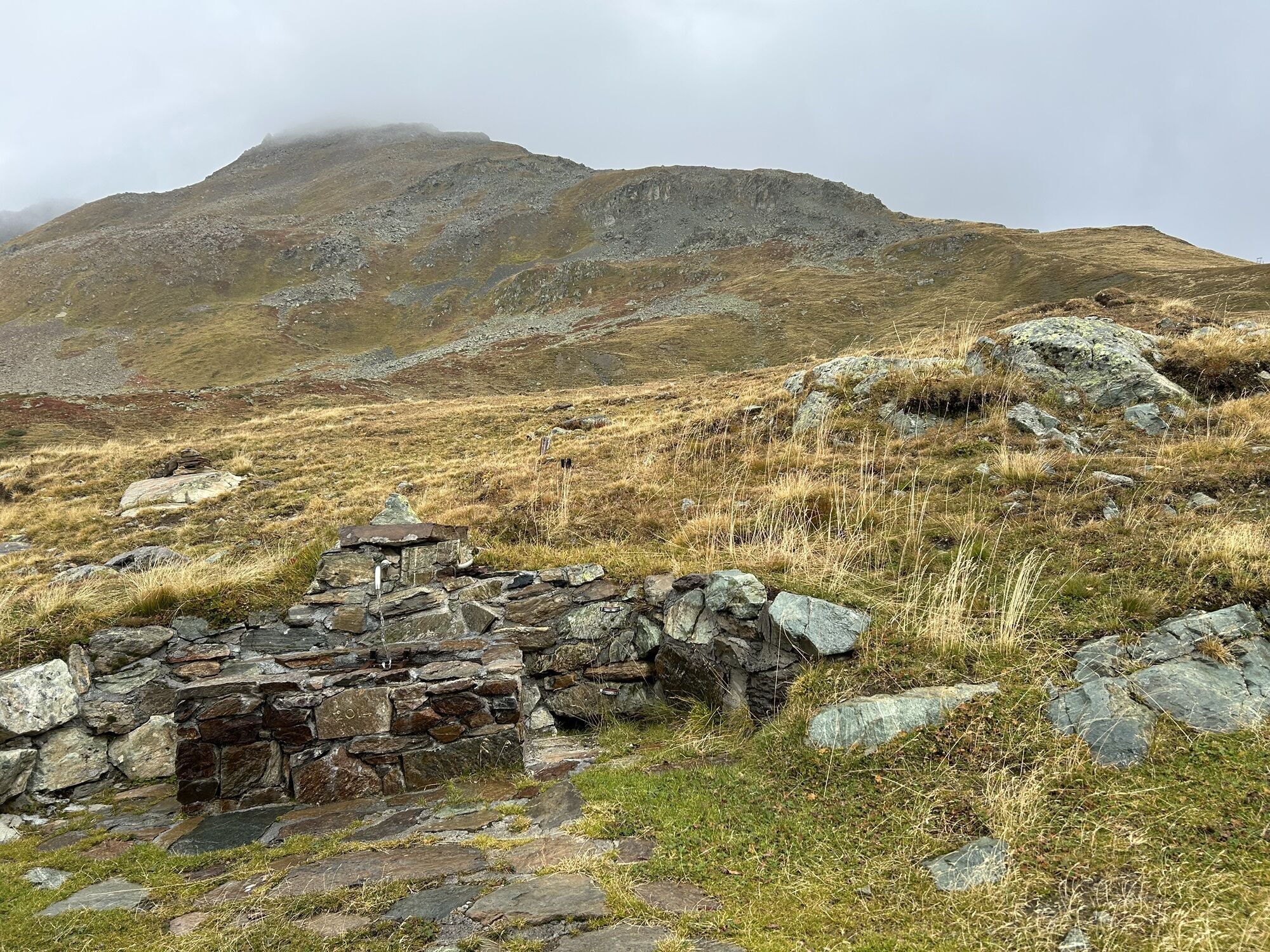
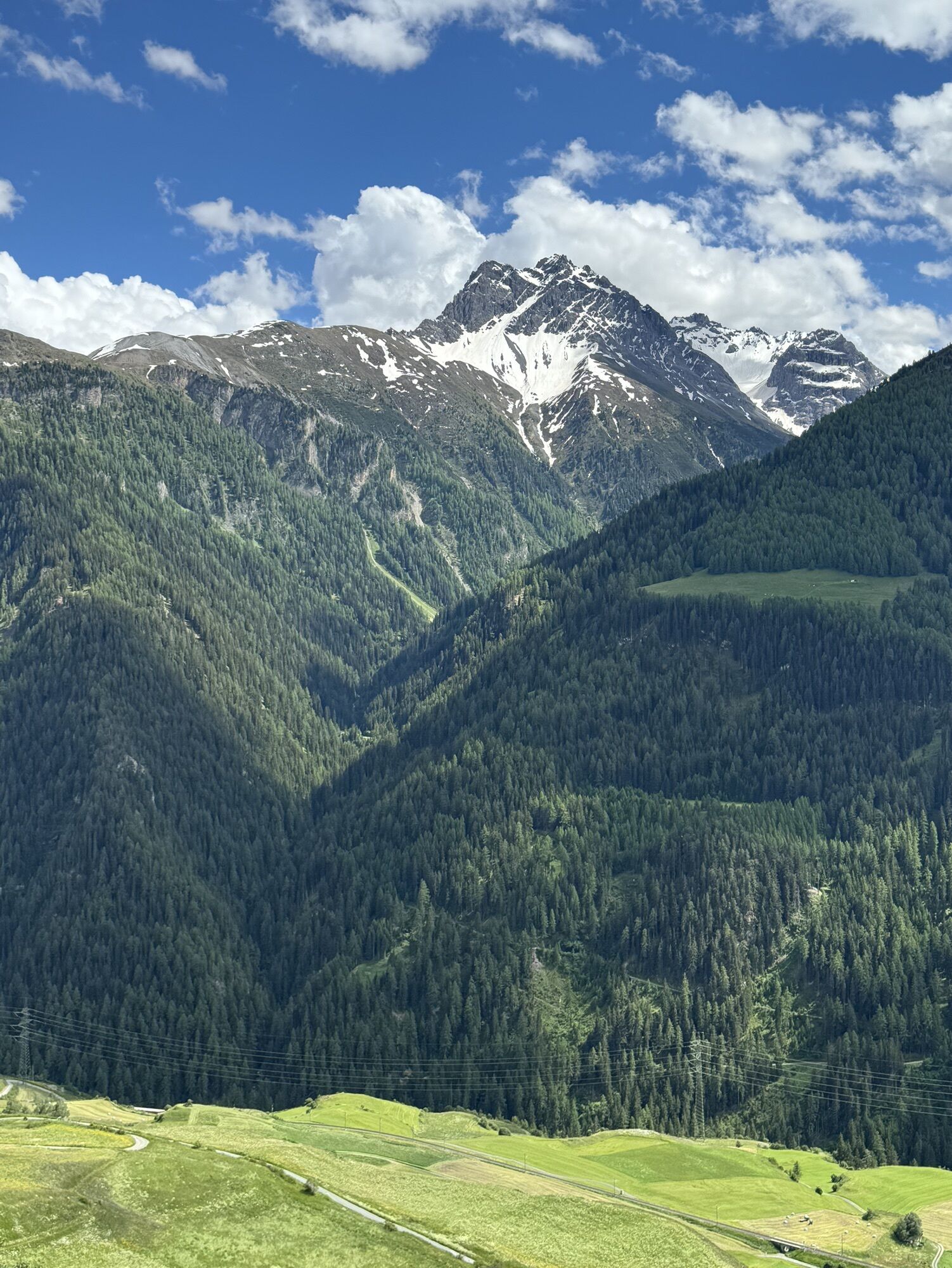
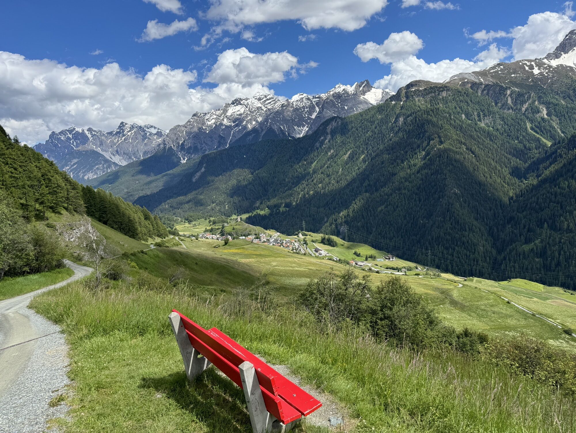
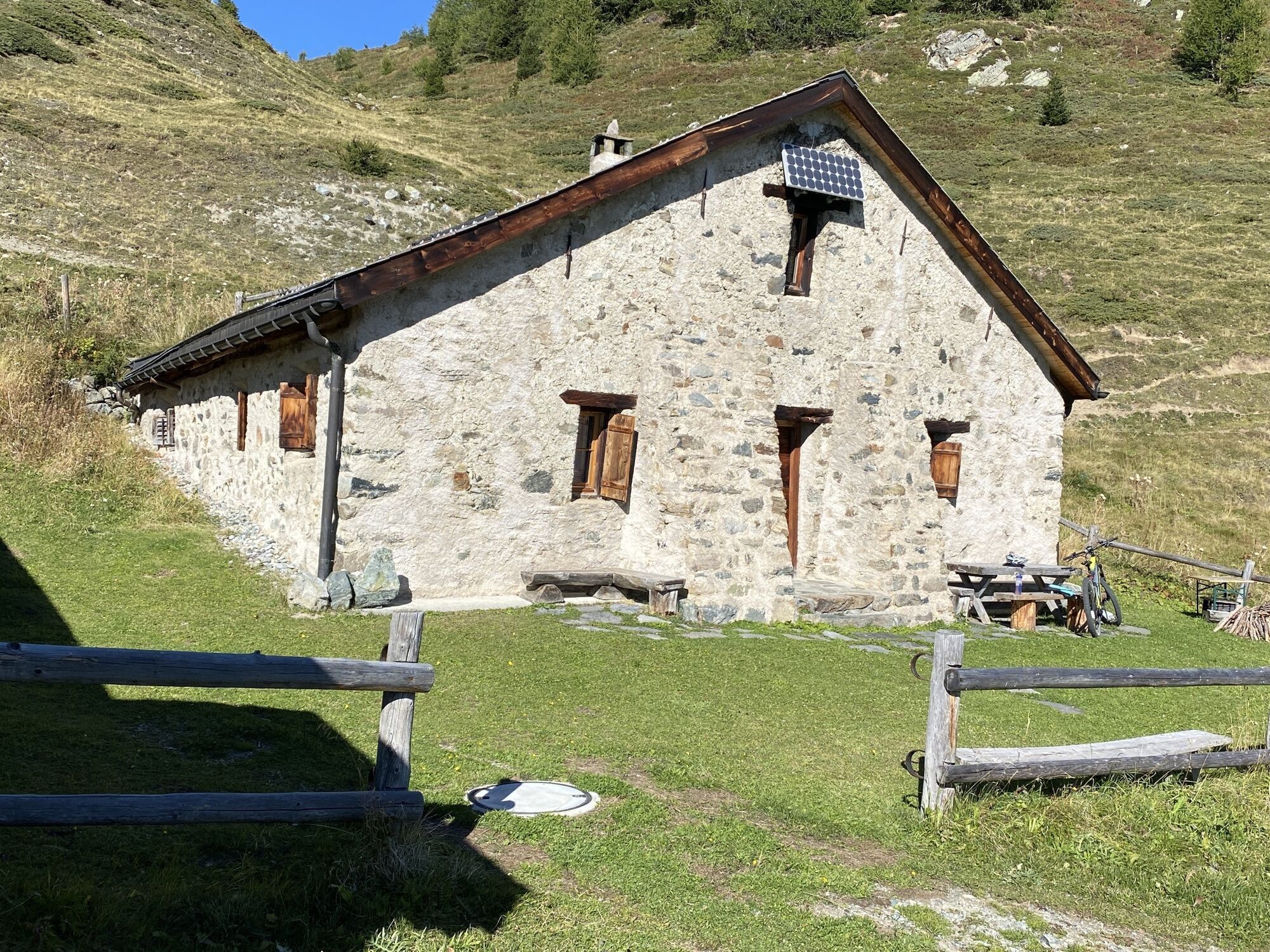
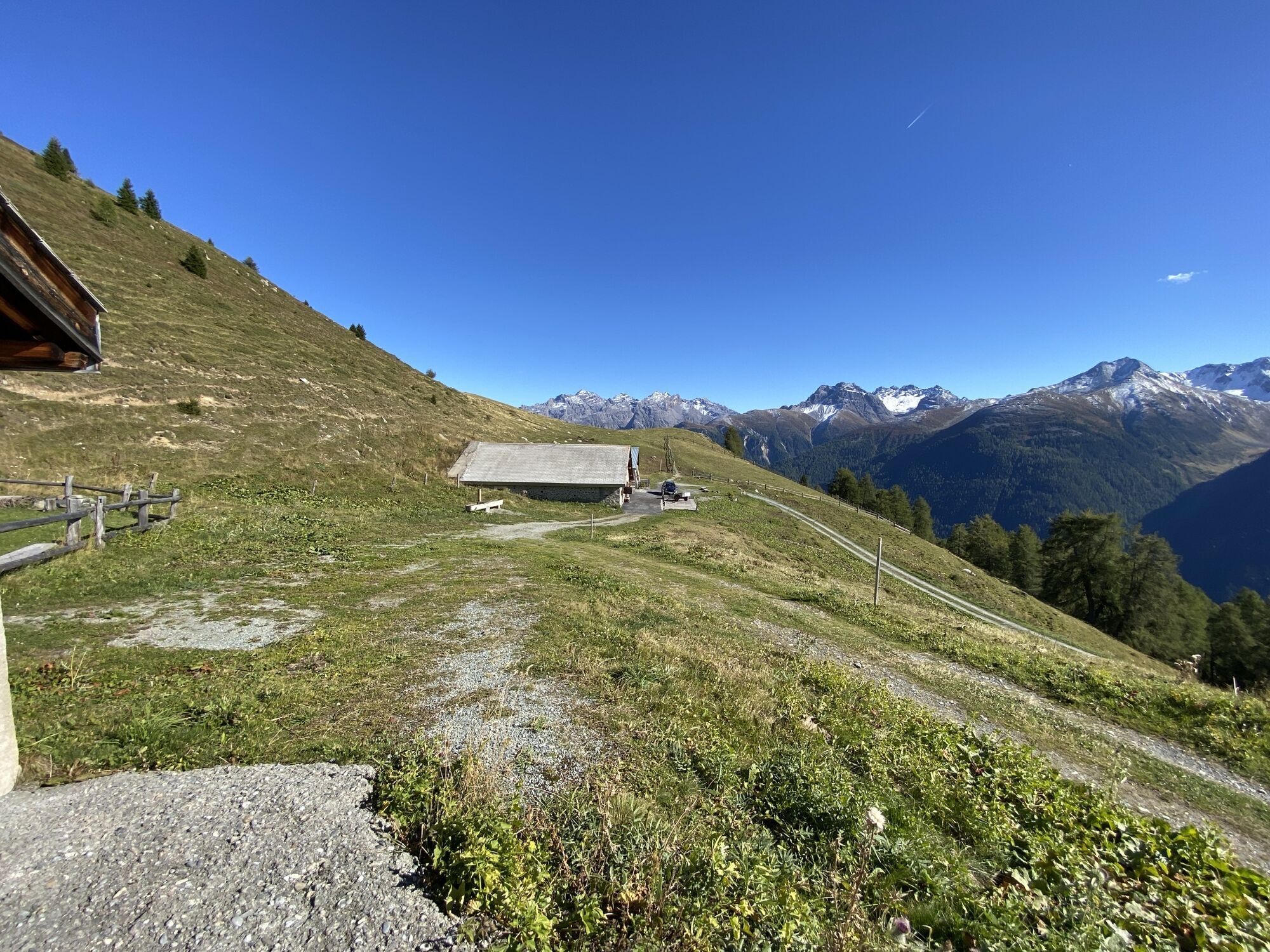
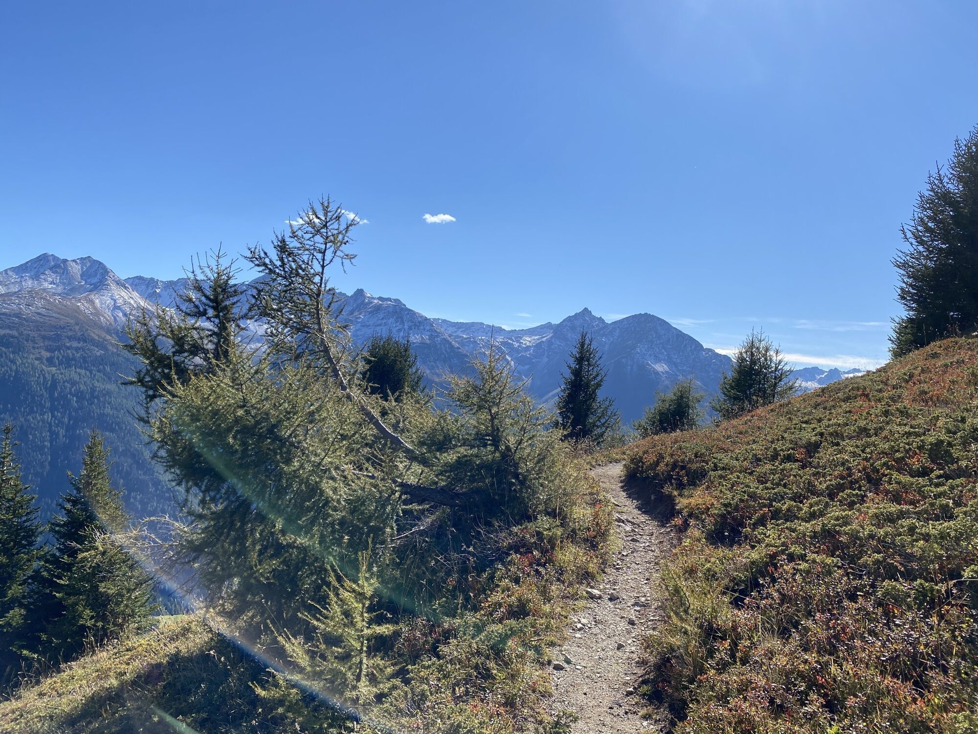
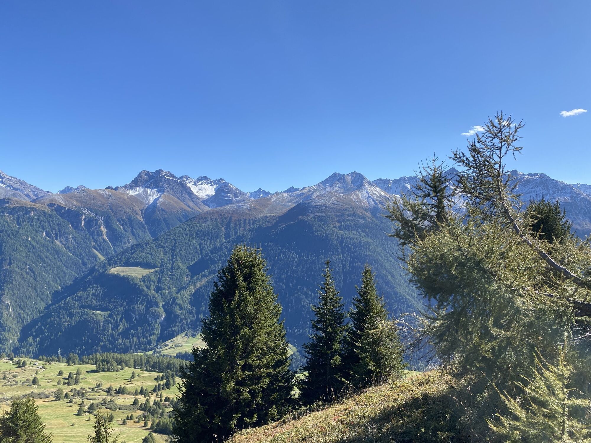
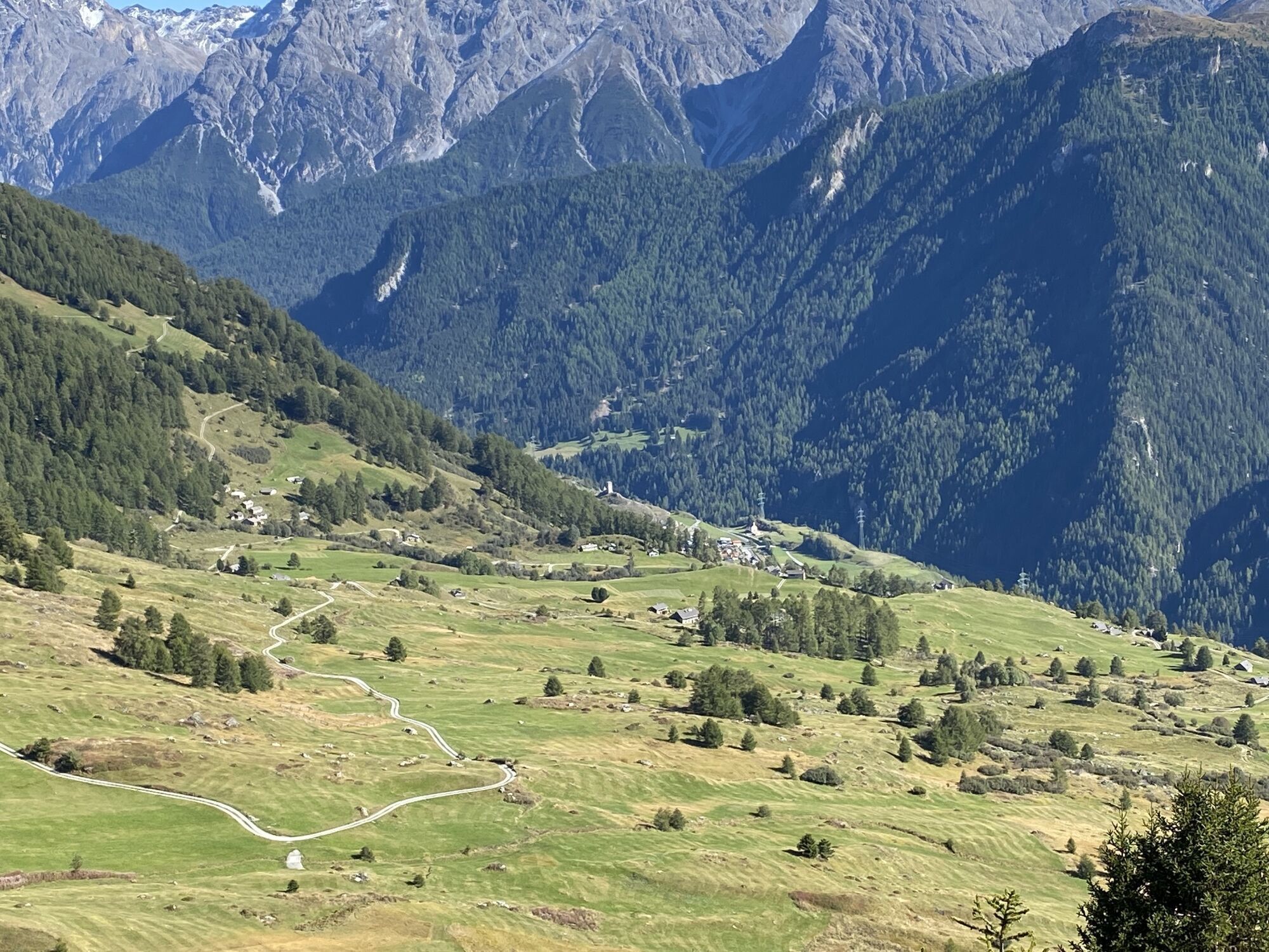
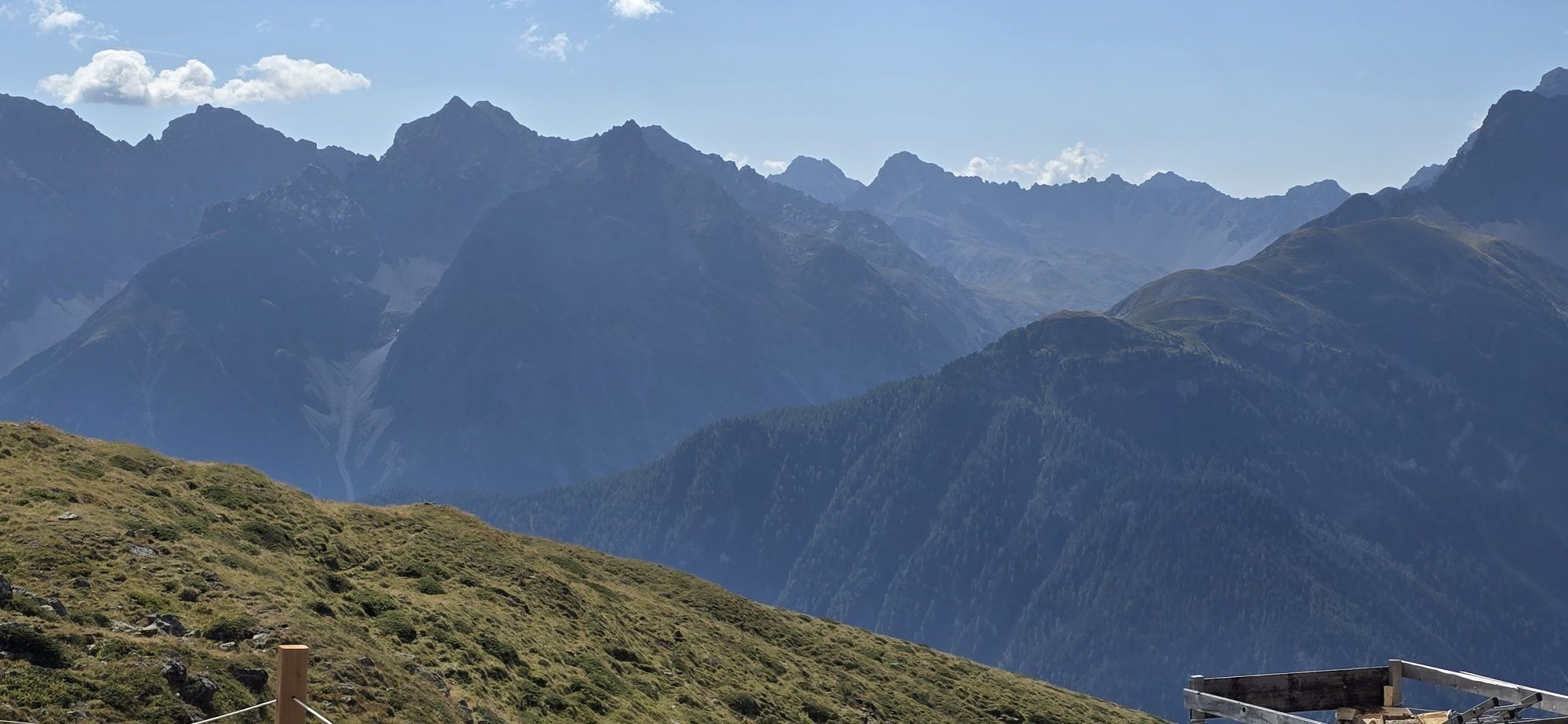
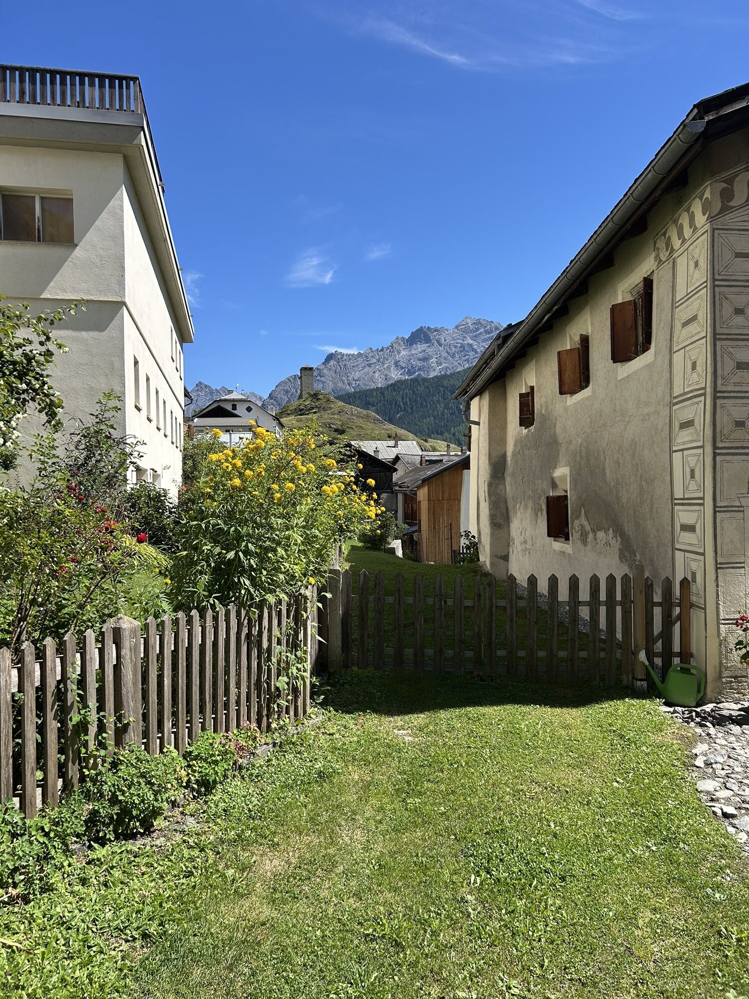
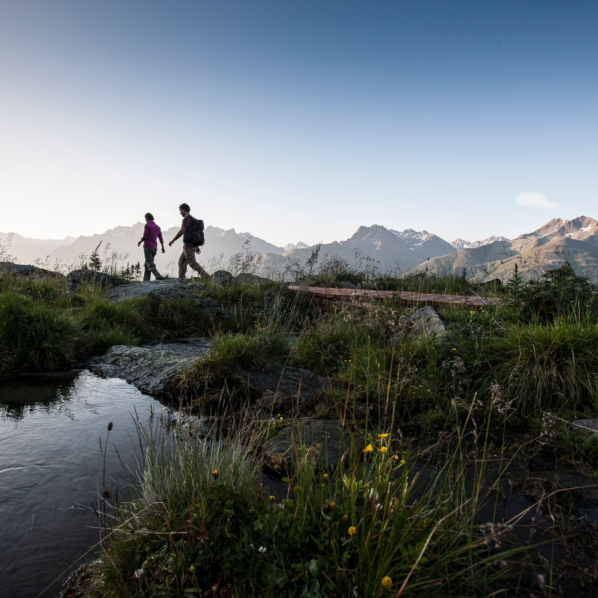
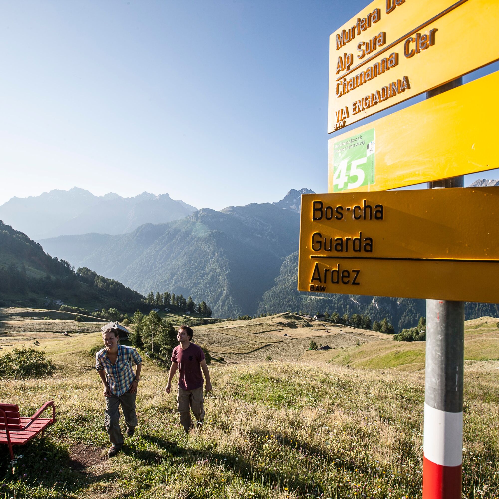
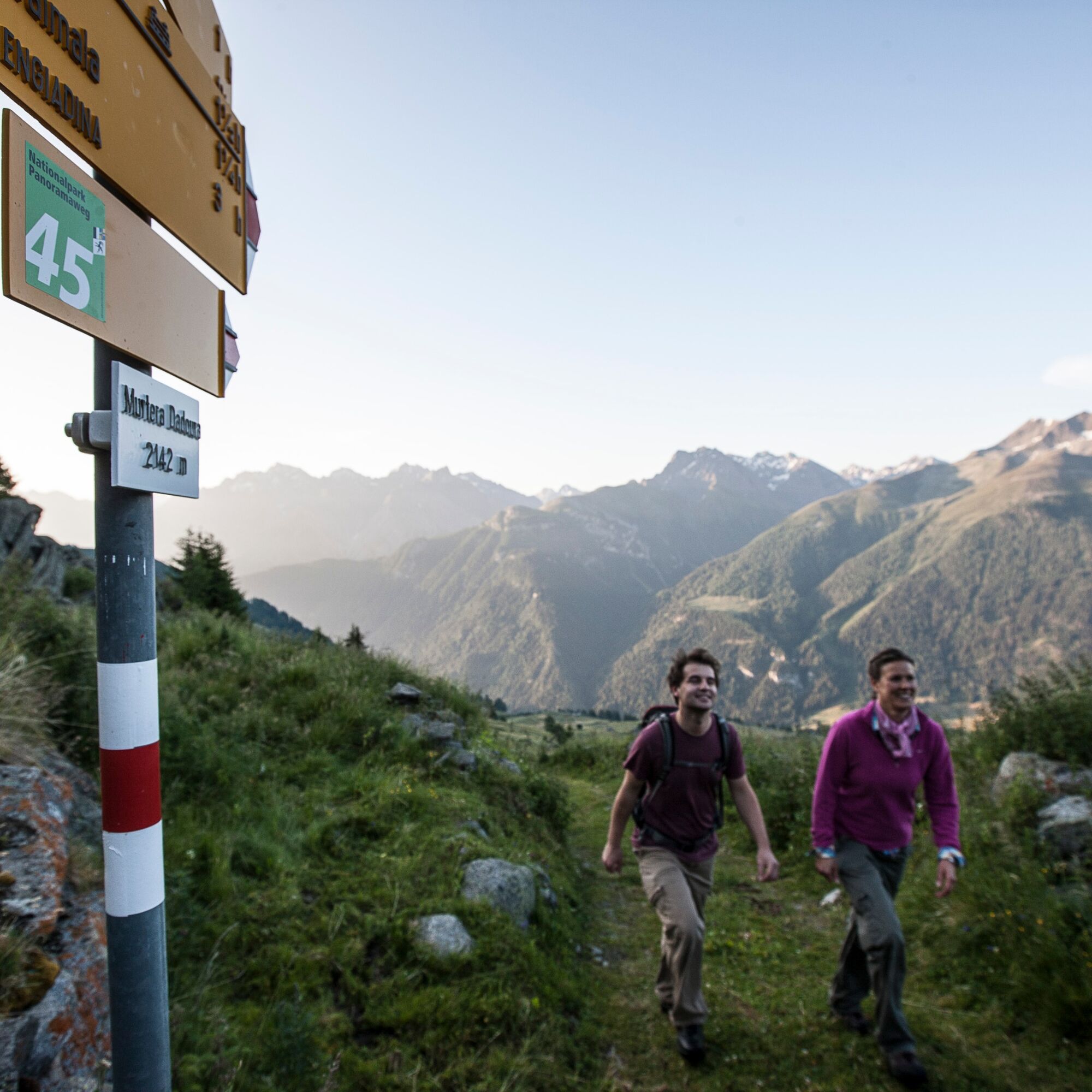
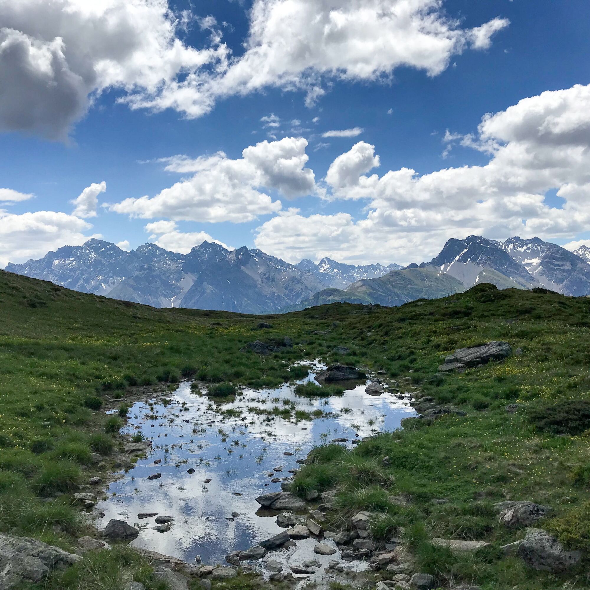
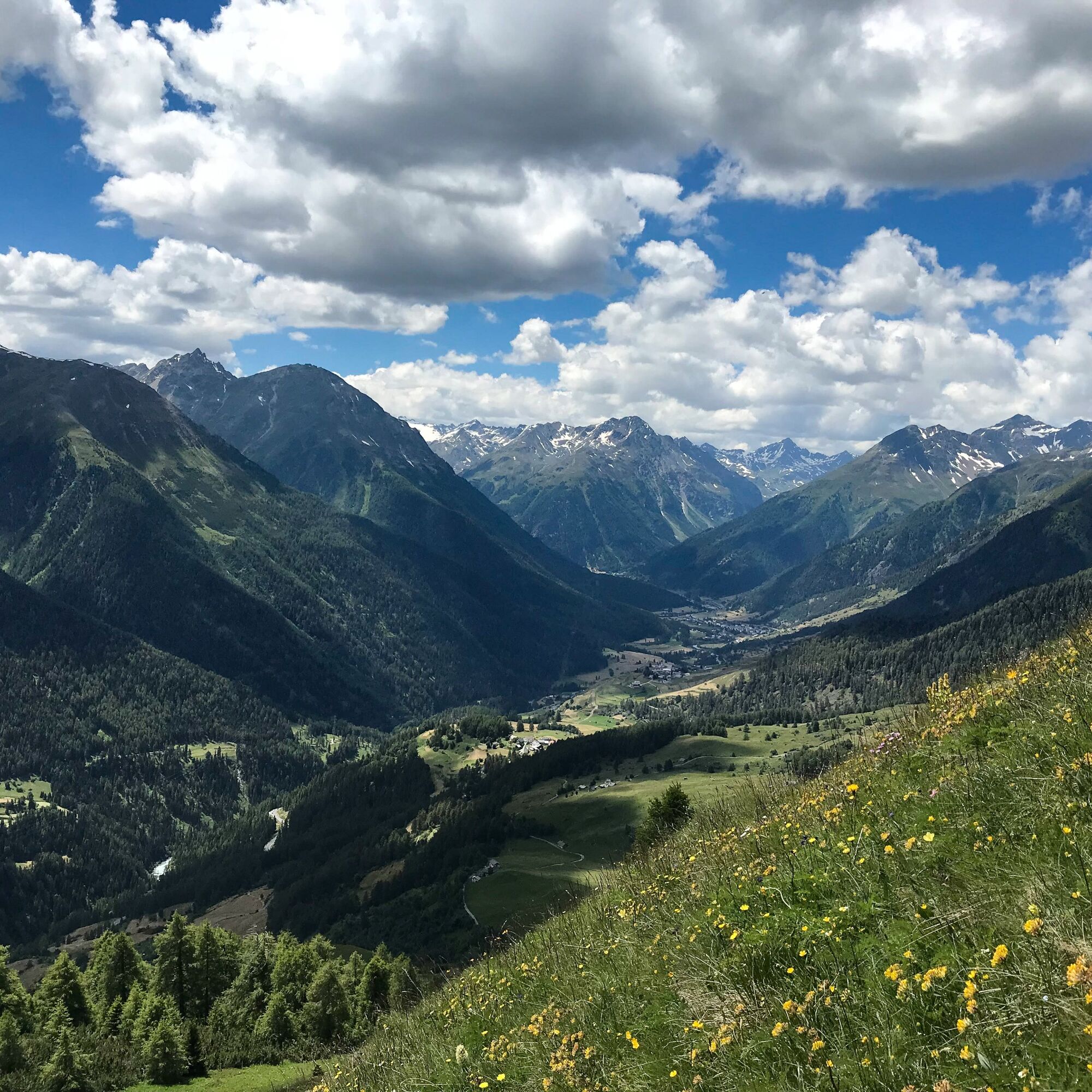
From the center of Guarda heading north, turn right at the reservoir towards the picturesque Lake «Lajet». Here, follow the small stream on the direct path up past the tree line to the hosted Alp Sura. In an eastern direction, the path gently ascends to Murtera Dadoura, where it turns left towards Maranguns. Along the way, there is a constant view of the three-thousand-meter peaks on the opposite valley side and into the Lower Engadin side valleys Val Zeznina, Val Nuna, and Val Sampuoir. In the valley, Ardez, Bos-cha, and Sur En d’Ardez become visible, while from a certain height, the view to the south reveals some of the approximately 20 mountain lakes of Macun in the national park. From Maranguns, the last stretch climbs – with a recommended detour to Lai Ruduond – to Chamonna Cler, the highest point of the hike.
The descent over the southeast ridge of Piz Cotschen to Muot da l’Hom offers views from Scuol to Susch. Via Mundaditsch, the path descends to the endpoint of the hike in Ardez.
Schellen-Ursli filming locations: Opening credits and Alp
The Schellen-Ursli film begins at Lai Raduond with Uorsin running up the slope with the goats, the camera pans upward revealing the panorama of the Lower Engadin mountain world.
The summer alp is Alp Murtera Dadoura, which lies east of Alp Sura. A set was built for the film. The image from the film does not correspond to the actual alp as it can now be seen again.
All filming locations of the Schellen-Ursli film can be found here.

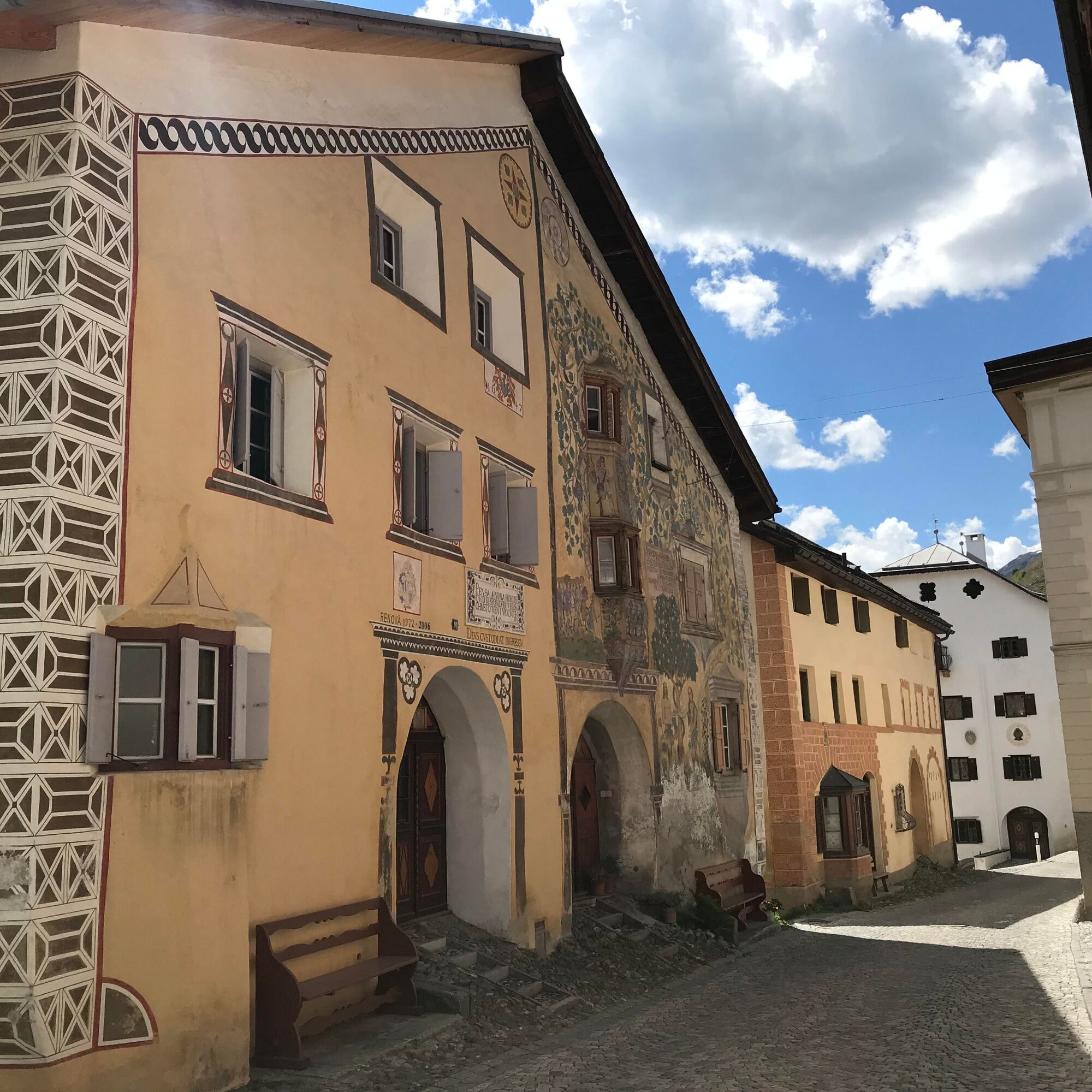

From the center of Guarda northwards to Lake Lajet
Follow the stream via Clüs to Alp Sura
Eastwards to Murtera Dadoura
Turn left to Maranguns
Ascent to Chamonna Cler
Descent via the southeast ridge of Piz Cotschen to Muot da l'Hom
Via Muntaditsch and Chöglias to Ardez
Good footwear, rain and sun protection, drinking bottle, first aid kit.
The route was rated under favorable weather conditions; current weather conditions and forecasts must be strictly observed before starting the hike.
This hike requires basic alpine experience, orientation skills, and hiking boots are recommended.
Emergency numbers:
144 Emergency, first aid
1414 Mountain rescue REGA
112 International emergency
From the north: via Landquart – Klosters by car transport through the Vereina tunnel (Selfranga - Sagliains) or over the Flüela Pass into the Lower Engadin on H27
From the east: via Landeck / Austria towards St. Moritz on H27
From the south: via Reschen Pass (Nauders-Martina) or Ofen Pass (Val Müstair-Zernez) on H27
Guarda is reachable from the Engadin road near Giarsun within 5 minutes by car
Hourly service with the Rhaetian Railway (from Chur, Prättigau or Upper Engadin) to Guarda station
Several daily PostAuto connections from Guarda staziun (station) to Guarda cumün
Paid parking at the village entrance of Guarda (Guarda is car-free)
Paid parking at the Guarda station
Homepage of Chamonna Cler:
http://www.ski-ardez.ch/seite_chamonna.htm

Popularne wycieczki w okolicy
-
4,8
Hiking trail Piz Buin - view
średniWędrówka 14,4 km -
5,0
Menta Alm - Scheibenalm
światłoWędrówka 11,4 km -
3,2
Bielerhöhe and circular hike around the Silvretta reservoir
średniWędrówka 13,1 km -
4,4
National Park: Margunet
światłoWędrówka 7,76 km -
4,7
Jamtal lodge
średniWędrówka 19,6 km -
5,0
Großer Piz Buin (3.312m), Normalweg 2019 über Ochsentaler Gletscher
ciężkiWycieczka wysokogórska 24,1 km -
4,8
National park: Zernez – Munt Baselgia – Macun lakes – Alp Zeznina – Lavin
ciężkiWędrówka 22,9 km -
4,8
Silvretta Stausee
światłoWędrówka 6,22 km -
4,7
Hennekopf von der Bielerhöhe (Gemeinde Galtür, Tirol/Österreich)
średniWycieczki górskie 9,43 km -
5,0
National Park: Chamanna Cluozza
średniWędrówka 8,37 km
Wędrówki i tropienie


Nie przegap ofert i inspiracji na następne wakacje
Twój adres e-mail została dodana do listy mailingowej.





