


Via Engiadina stage 9: Ardez – Prui [Swisstopo no. 87]
Zdjęcia naszych użytkowników
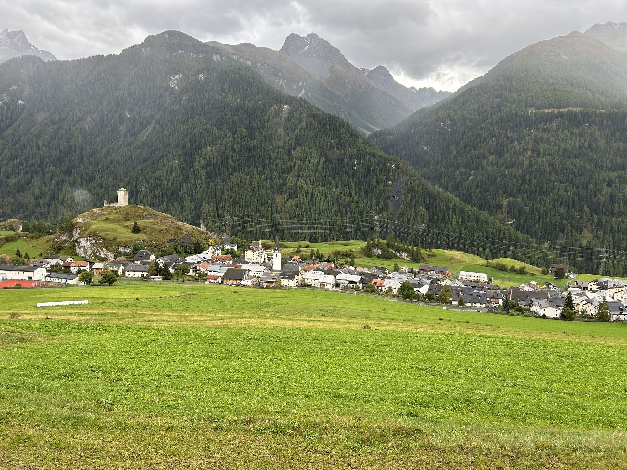

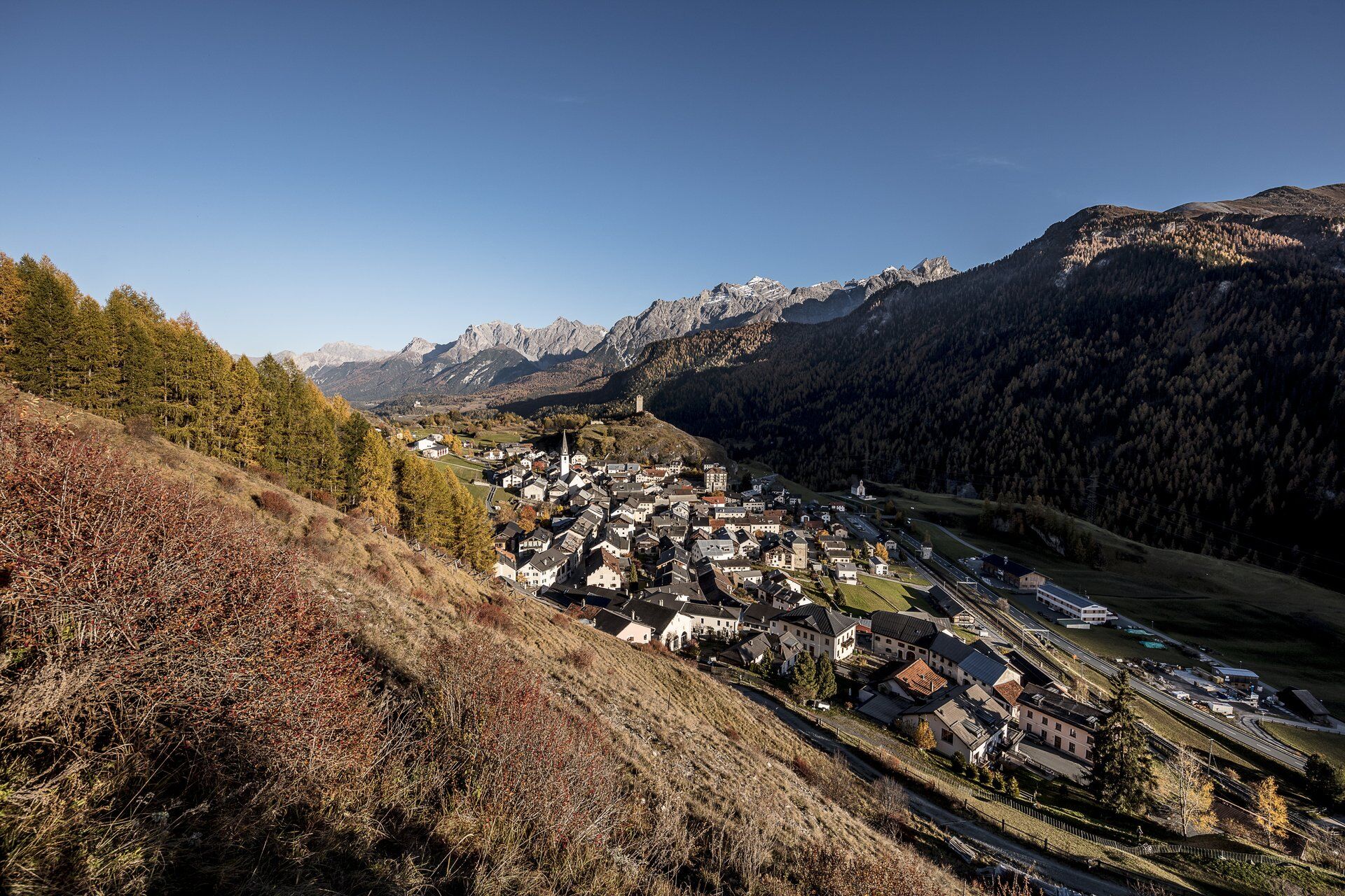
From Ardez staziun (railway station) the path leads directly above the village towards Plan Chamuera into Val Tasna. Past Alp Tasna, which lies above on the slope and can be identified as a typical alpine...
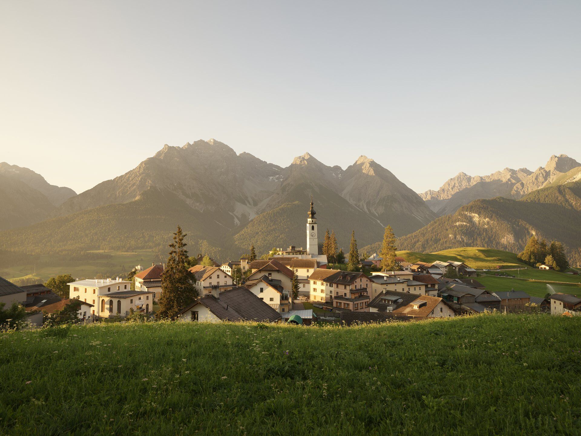
From Ardez staziun (railway station) the path leads directly above the village towards Plan Chamuera into Val Tasna. Past Alp Tasna, which lies above on the slope and can be identified as a typical alpine hut, it continues through the varied landscape far into Val Tasna. At the goat alp Alp Valmala you reach the turning point in Val Tasna and cross to the other side of the stream. At Alp Valmala it is possible to buy goat cheese and drinks during the summer grazing periods. After crossing the Tasnan the path ascends a bit steeper until you reach the forest line descending along the valley flank. Just after exiting the valley the Alp Laret lies on a scenic hill. It offers a restaurant during the grazing period and invites you to a cozy break with great views. After a slight ascent the path follows more or less the contour line to the stage destination – the mountain station of the Ftan chairlift – Prui. From there you can either take a hiking trail or, gentler on the knees, the chairlift directly down to Ftan. In Ftan there are various places to eat. Between Ftan and Scuol post buses run regularly. So if you want to make a detour to Scuol, you can either take the post bus in Ftan or skip the descent at the mountain station of the chairlift and walk about 45 minutes along the Flurina trail to the mountain station of the Motta Naluns gondola.

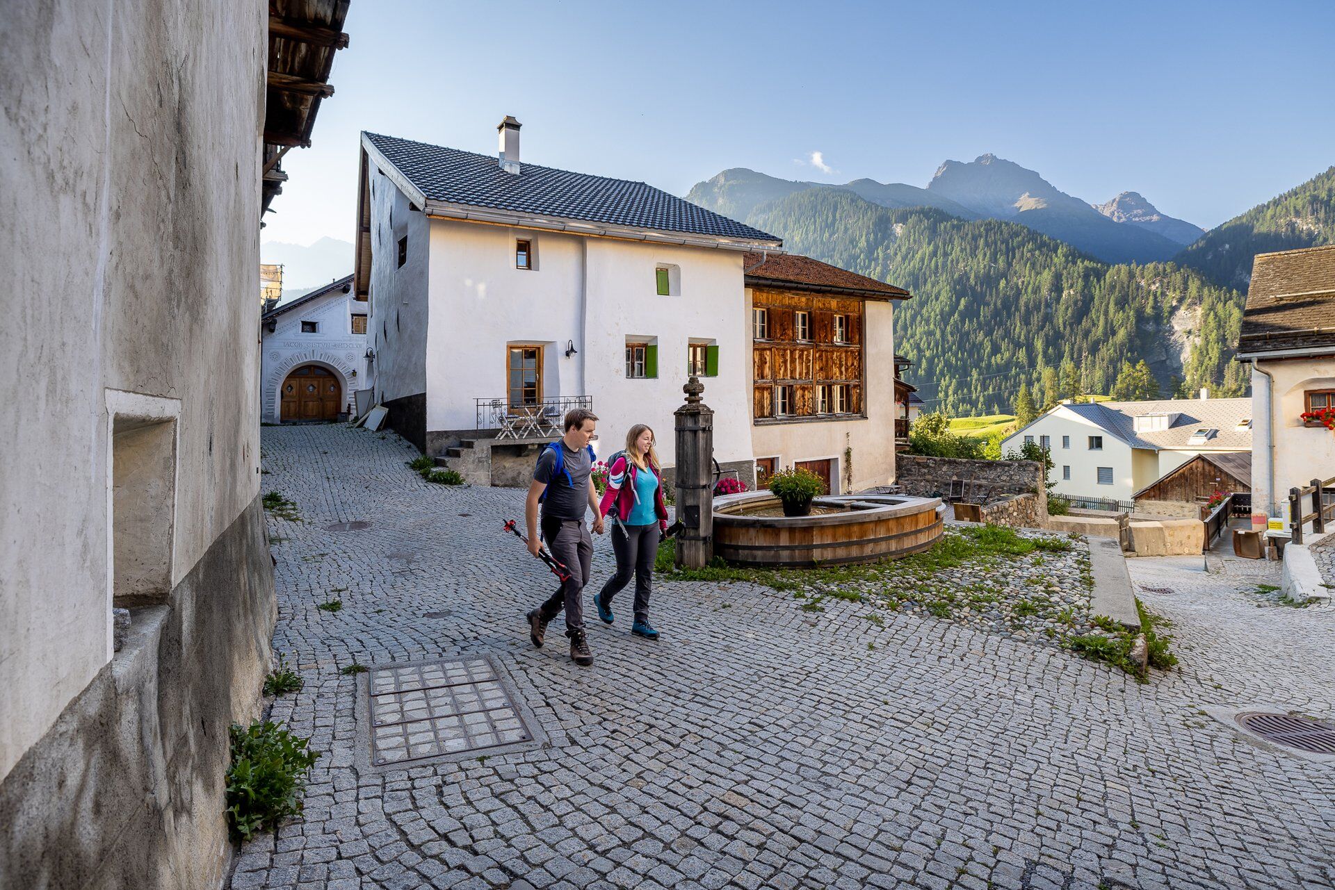
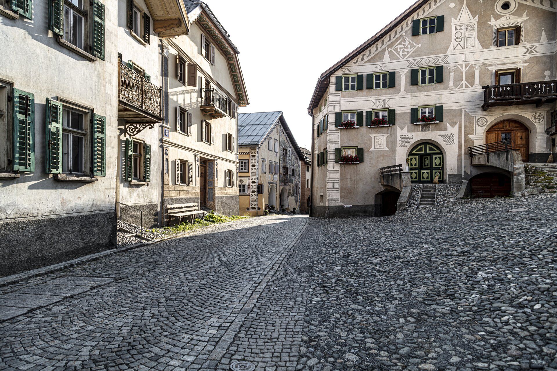
From Ardez railway station upwards through the village
Past the church follow the Via Engiadina signposts
First ascent over meadows and through forest to Alp Tasna
Cross the stream at Alp Valmala
There follows an ascent in eastern direction, then the path leads downstream
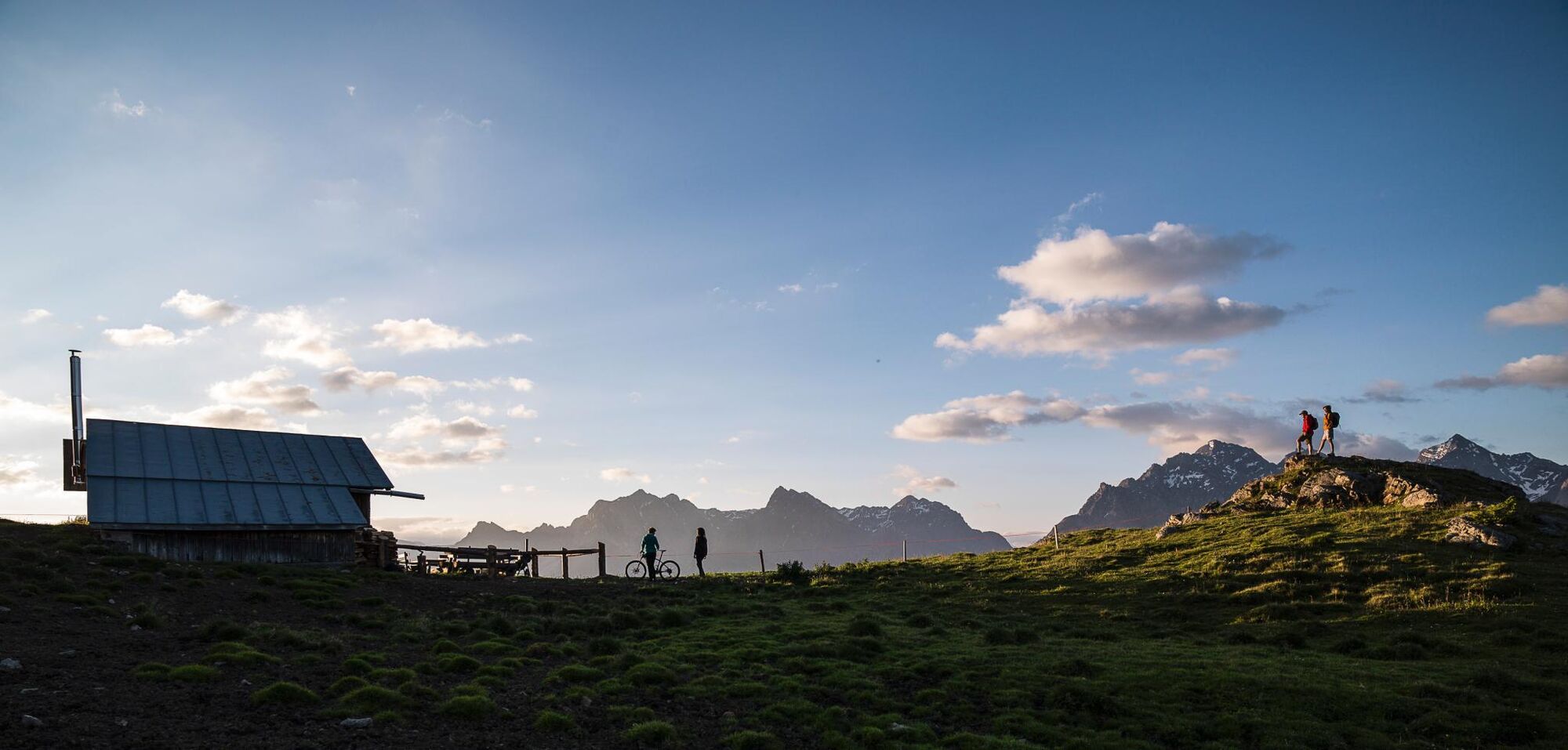
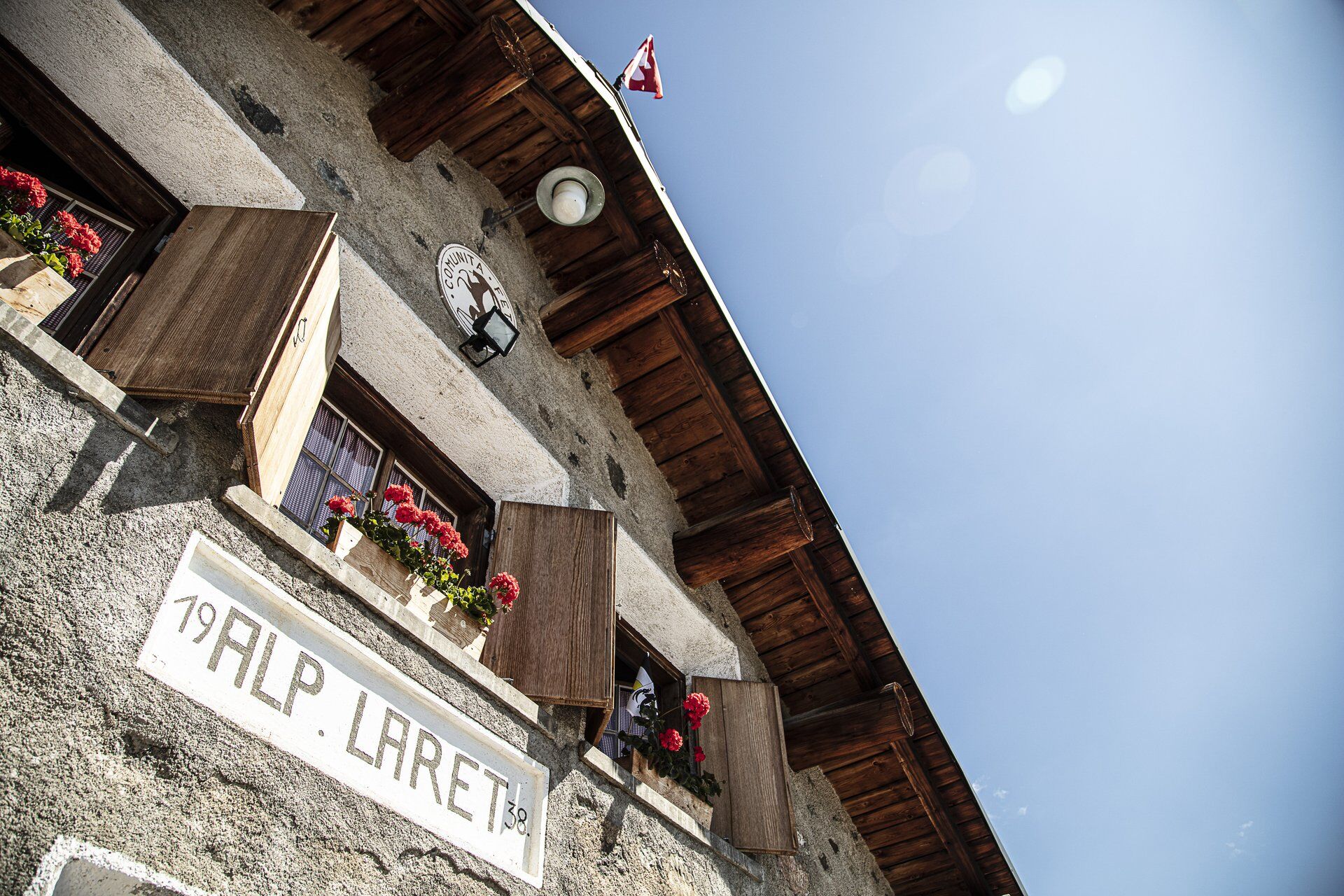
On a hill lies Alp Laret
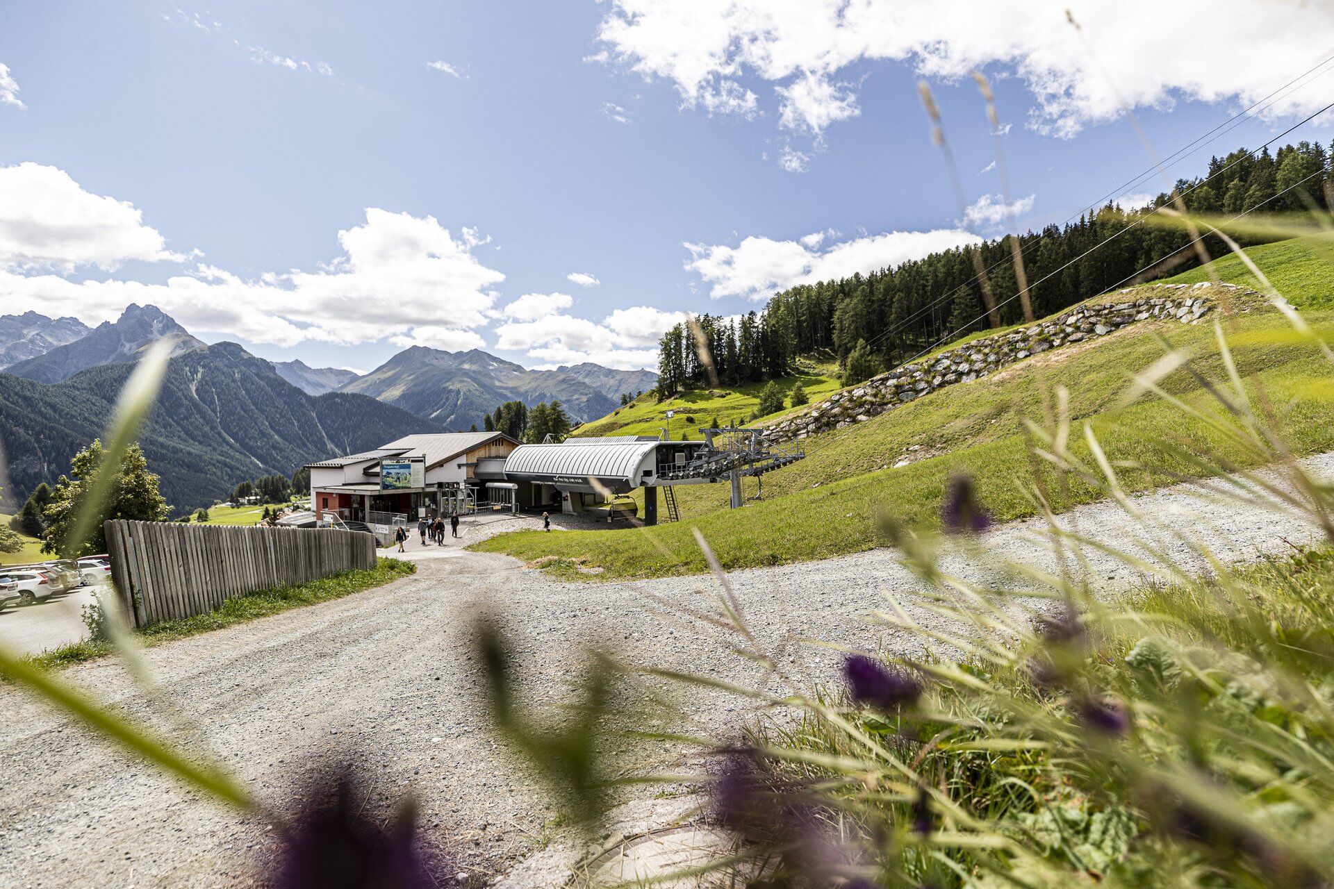
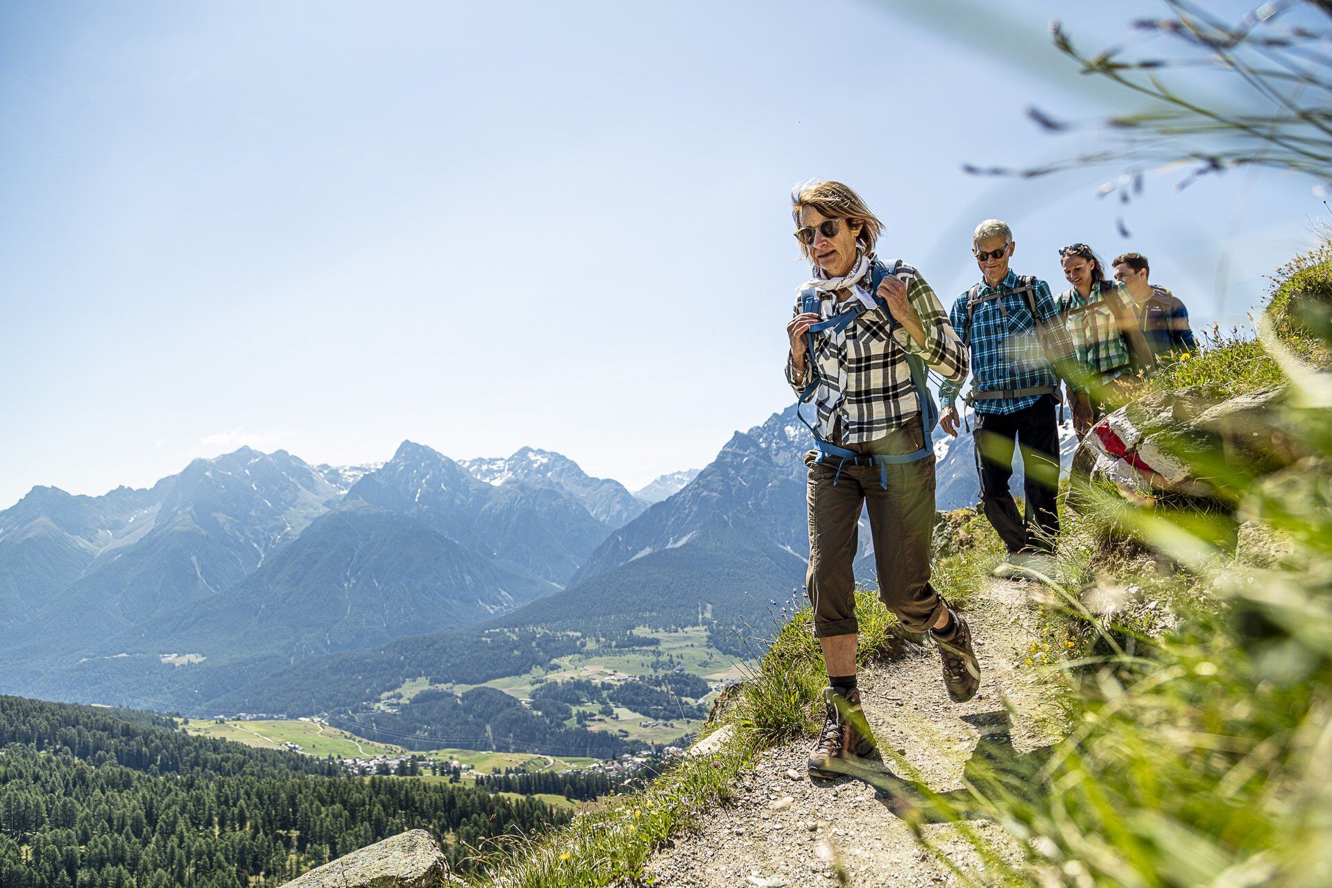
On the hiking trail towards Prui
From Prui with the chairlift to Ftan or continue on the alpine road to Motta Naluns
Tak
Tak
Good footwear, rain and sun protection, drinking bottle, first aid kit.
The route was rated under favorable weather conditions. The current weather conditions and forecasts must be strictly observed before starting the hike. This hike requires basic alpine experience and orientation skills. Hiking boots are recommended.
Emergency numbers:
144 Emergency call, first aid
1414 Mountain rescue REGA
112 International emergency call
Ardez can be reached directly from the Engadin road.
By the Rhaetian Railway (from Scuol, Chur, Prättigau or Oberengadin) hourly to Ardez railway station
Chargeable parking spaces at Ardez station or at designated parking spaces above the village
Video about Via Engiadina: Multi-day hike in the holiday region Engadin Scuol Zernez
Popularne wycieczki w okolicy
-
4,8
Hiking trail Piz Buin - view
średniWędrówka 14,4 km -
4,7
Jamtal lodge
średniWędrówka 19,6 km -
5,0
Großer Piz Buin (3.312m), Normalweg 2019 über Ochsentaler Gletscher
ciężkiWycieczka wysokogórska 24,1 km -
2,0
Bielerhöhe - Vermuntkopf - Bielerhöhe
średniWędrówka 17 km -
Ascent of Hohes Rad and stop at the Wiesbadener Hut
ciężkiWędrówka 15,8 km -
4,5
Tarasp Fontana – Sparsels – Lai Nair (circular route)
światłoWędrówka 7,67 km -
4,5
Ski tour Hennekopf (2,704 m)
średniWycieczka narciarska 4,17 km -
5,0
Silvretta Stausee
światłoWędrówka 6,22 km -
4,8
National Park: Grimmels (circular hike)
światłoWędrówka 6 km -
5,0
Schneeglocke
średniWycieczka narciarska 19,1 km

Wędrówki i tropienie


Nie przegap ofert i inspiracji na następne wakacje
Twój adres e-mail została dodana do listy mailingowej.