






Lag Grond: A lonely route in the Lumnezia
Poziom trudności: T3
You start the extensive hike at the Mulina postbus stop, just after the village of Nussaus in the Lumnezia. There is a short warm-up on the gravel road until the route later leads into a hiking path. At...
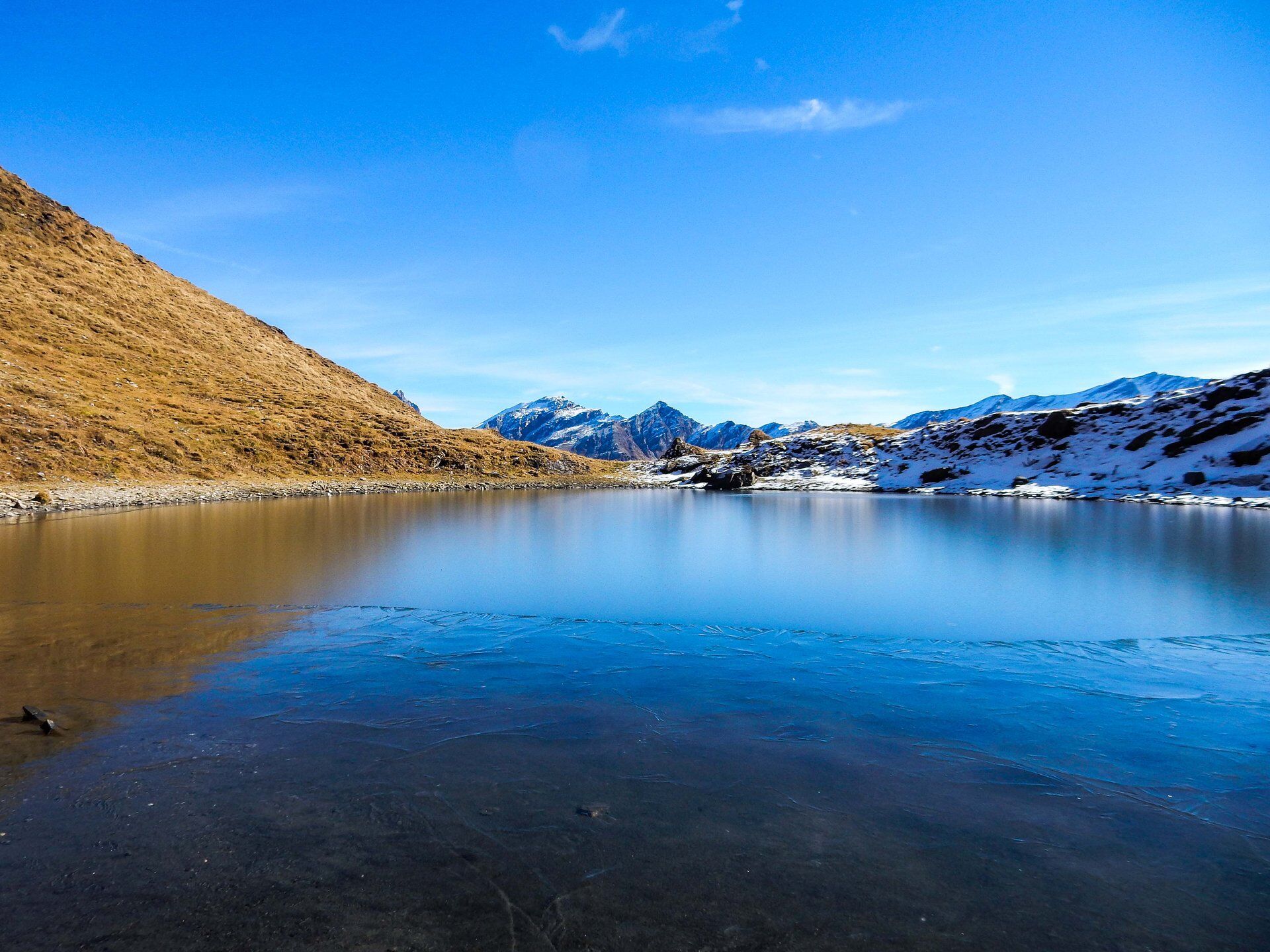
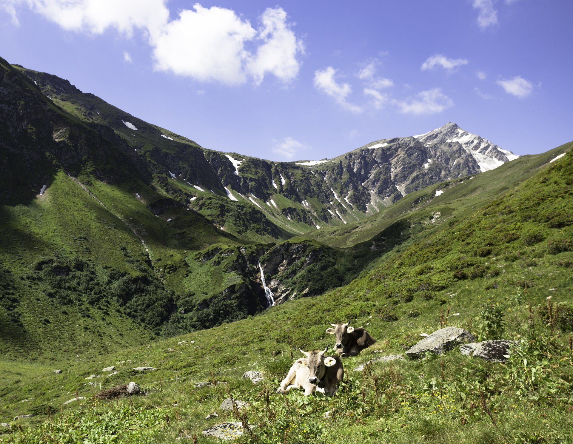
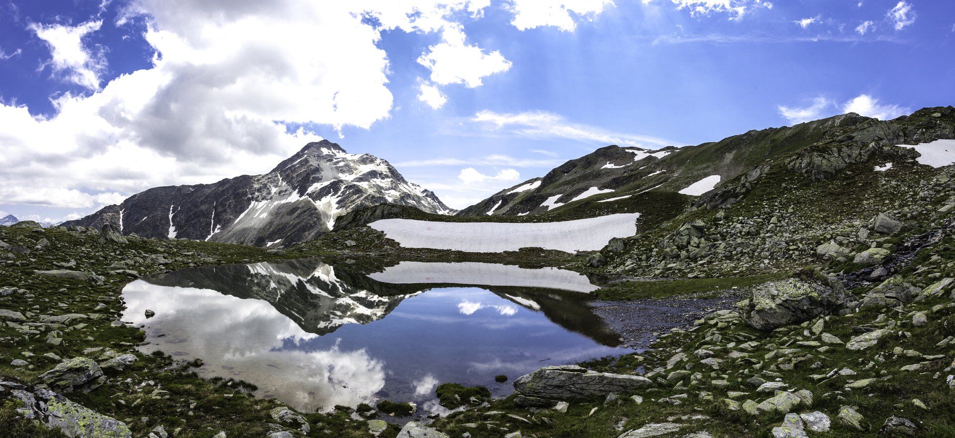
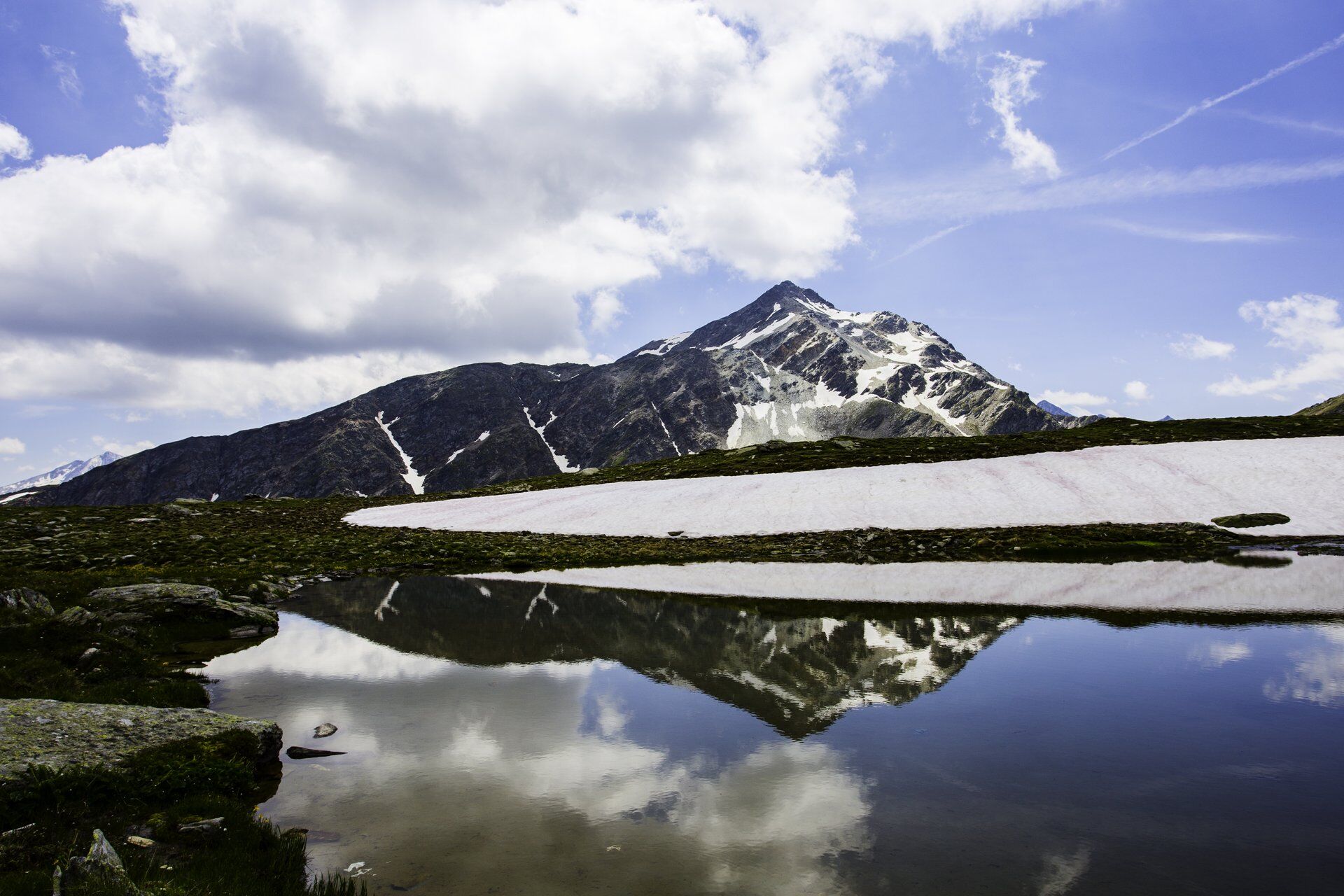
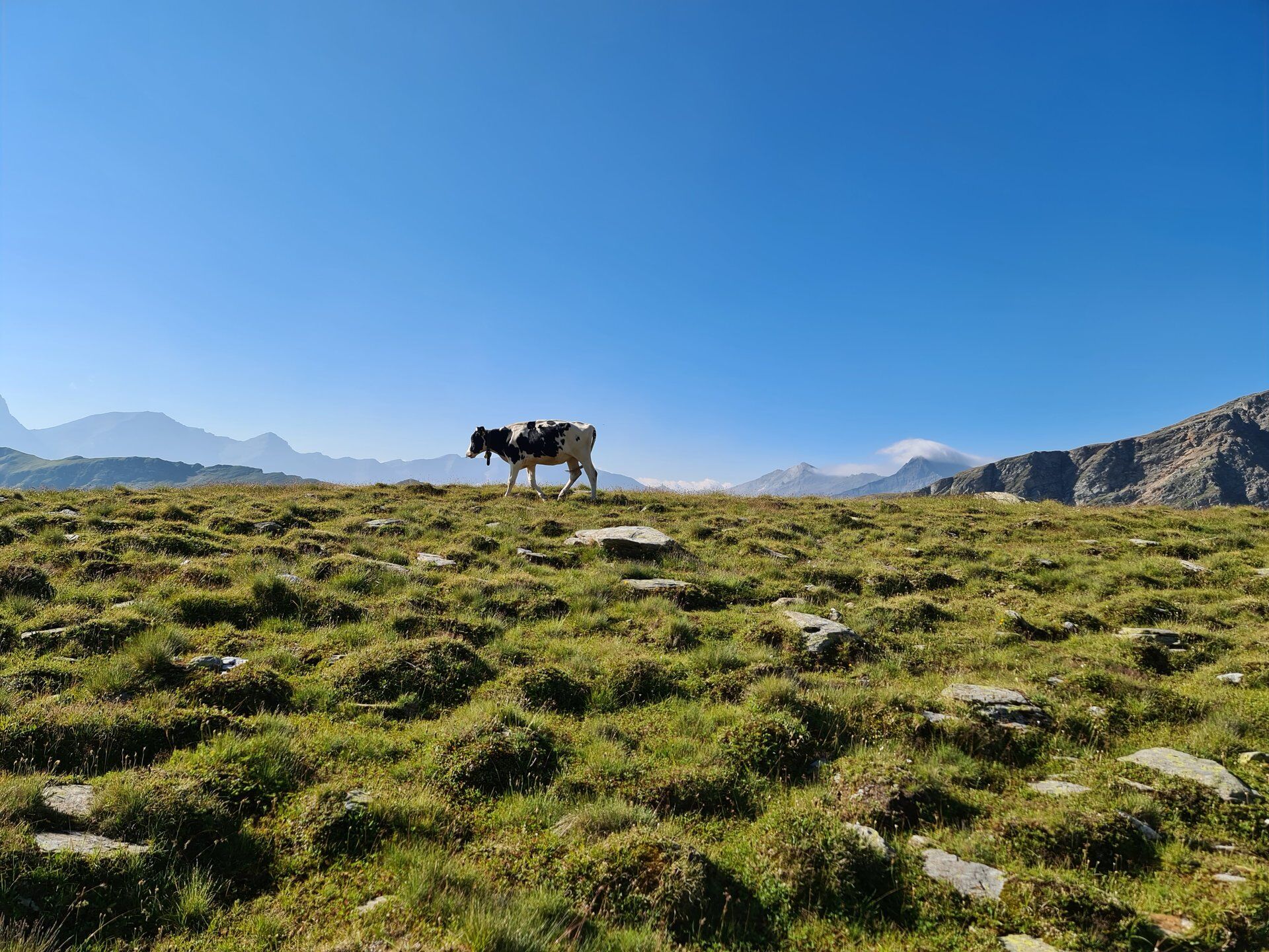
You start the extensive hike at the Mulina postbus stop, just after the village of Nussaus in the Lumnezia. There is a short warm-up on the gravel road until the route later leads into a hiking path. At the latest from Alp Cavel, the mountain landscape opens up and the view becomes more impressive with every meter. The higher you climb, the more barren the alpine pastures become until in the end only hardy herbs and mountain flowers grow between the stones. Now a wonderful scenery unfolds that could hardly be quieter and lonelier. At Lag Grond, the large lake – which is not so large – our route proposal ends.
Those who dare can now jump into the icy cold water. Others simply enjoy the reflection on the smooth lake surface and the well-deserved break. Perhaps you will even spot a few chamois playing among the rocks with binoculars.
The way back to Alp Cavel follows the same route. However, you can now make a small circular route and hike back to the starting point along the forest edge via Stavialas.


Postbus stop Lumbrein, Mulina - Alp Cavel - Lag Grond - Alp Cavel - Stavialas - Postbus stop Lumbrein, Mulina
Good hiking boots with good grip, weather-appropriate clothing (rain jacket), possibly change of clothes, first aid kit, drink, food, possibly hiking sticks.
In uncertain weather conditions, the route should not be started. Weather changes in the mountains are frequent. If a rain front or similar develops during the hike, you should turn back in good time.
Via Chur A3/A13 via Flims to Ilanz in the Lumnezia
From Vella to Nussaus / Mulina
By postbus from Vella or Ilanz to the Lumbrein, Mulina stop
Parking: We definitely recommend arriving by public transport
There are no public parking spaces in Mulina.
The nearest official parking spaces are in Lumbrein or Vrin. The route can also be started from these two villages with correspondingly longer walking times.
T3
Those who want to discover more can extend the route to the Fuorcla da Cavel or even to the Val Sumvitg. The following time indications must be observed:
Fuorcla da Cavel: About 30 minutes extra (1 hour round trip) Val Sumvitg (to the Runcahez stop, Alpine bus): About 3 hours extraPlease be sure to check the shuttle timetable.
Prefer to travel by car? Since there are no suitable parking spaces in Mulina, you can start the route, for example, in Vrin or Lumbrein. From Vrin you must calculate about 1.5 hours more time, and from Lumbrein about 2.5 hours more.
Popularne wycieczki w okolicy
-
5,0
High valley Val Frisal
ciężkiWędrówka 12,4 km -
5,0
Panorama route
światłoWędrówka 5,39 km -
5,0
Hiking route Suspension Bridge Val da Tersnaus
średniWędrówka 3,24 km -
Giro della Greina
Wędrówka 50,6 km -
3,3
3-lake hike
średniWędrówka 12,8 km -
5,0
Winter hike Gadastatt - Frunt - Zerfreila (Panorama trail)
światłoWędrówka zimą 5,36 km -
Panoramic route between Piz Mundaun and Péz Sezner
średniWędrówka 6,75 km -
5,0
2-day hike Greina high plateau
średniWędrówka 14,9 km -
5,0
Southeast Switzerland Hiking Day Vals 2017
światłoWędrówka 11,8 km -
Piz Terri, 3.149 m
średniWycieczka wysokogórska 6,92 km
Wędrówki i tropienie


Nie przegap ofert i inspiracji na następne wakacje
Twój adres e-mail została dodana do listy mailingowej.





