


62 Walserweg Gottardo, Stage 14: Sumvitg, Val - Friggahüs
Poziom trudności: T3
On to the last stage of the Walserweg Gottardo! The start is in Val with its quaint inn and a chapel. Leaving the small settlement, the path winds down the steep valley flank to the bridge over the Rein...
On to the last stage of the Walserweg Gottardo! The start is in Val with its quaint inn and a chapel. Leaving the small settlement, the path winds down the steep valley flank to the bridge over the Rein da Sumvitg. The impressive stream gully bears witness to the power of past storms in the area. The catchment area of the Rein da Sumvitg extends up to the protected high plateau of the Greina.
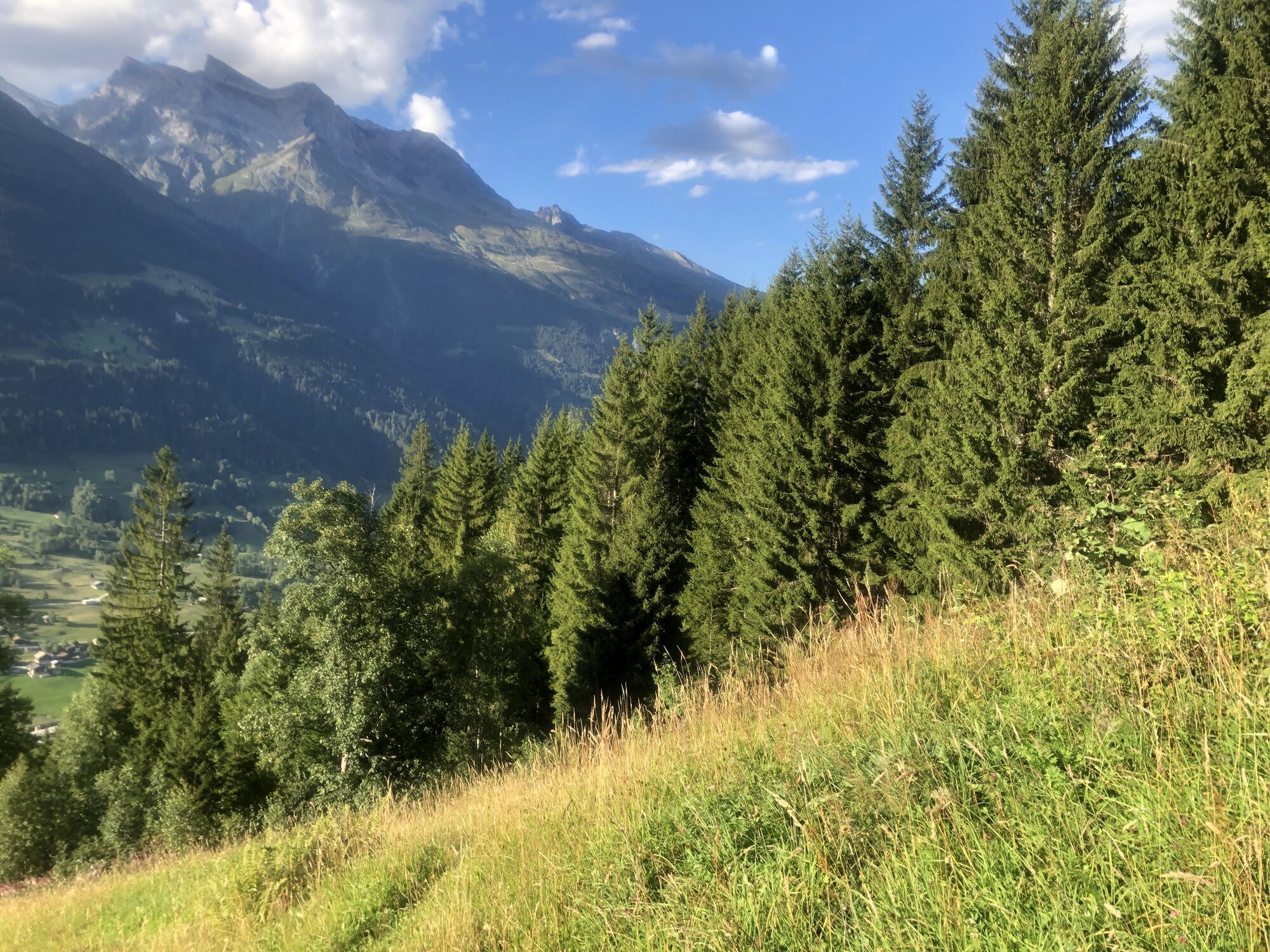
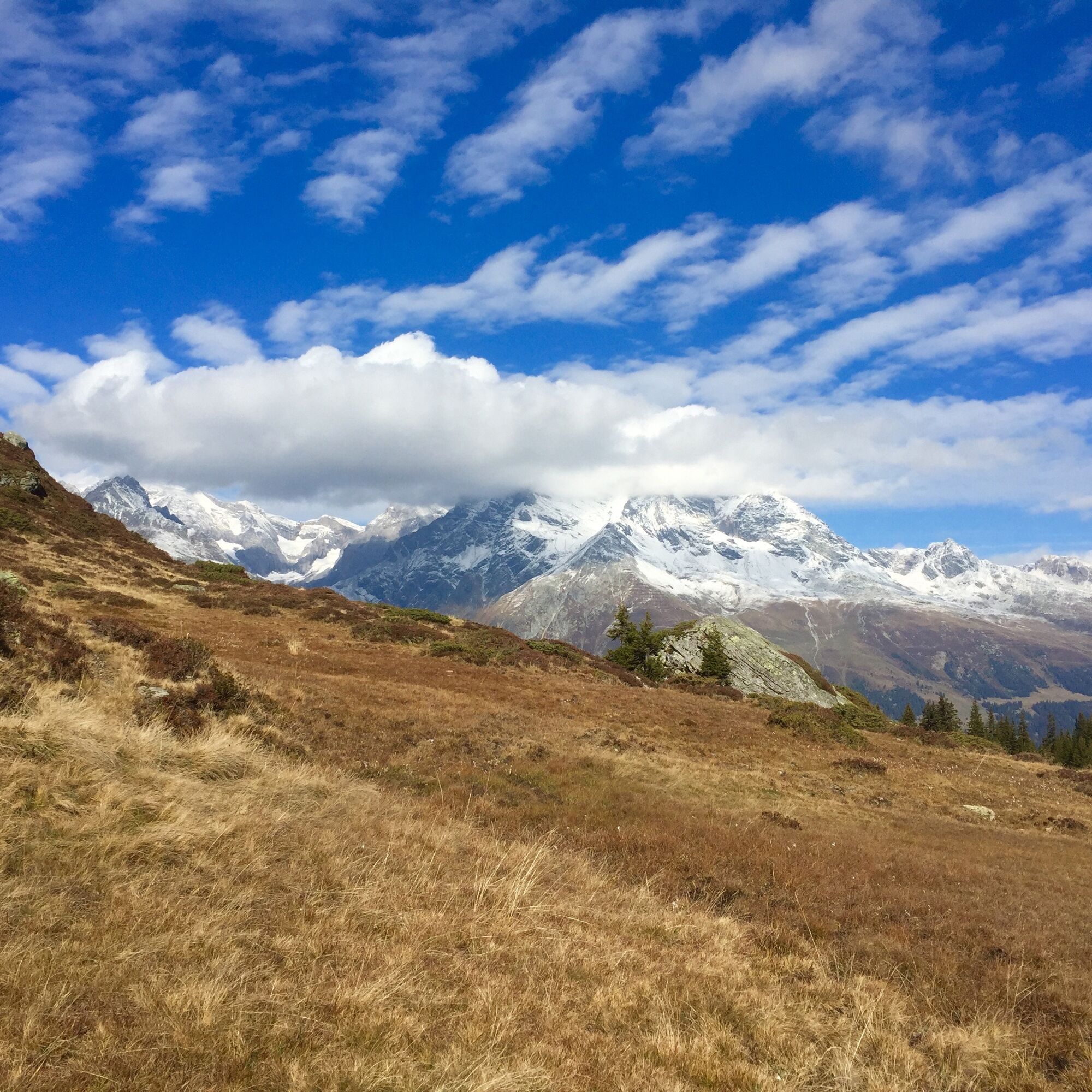
Also uphill is the steep, sweat-inducing ascent: the path zigzags through dense forest, then rises slowly over pastures and past alpine huts and alps. Now and then you catch a glimpse of the opposite villages Sumvitg and Rabius. Well-maintained buildings and alpine pastures shape the Alp Cuolms dil Run, which is only accessible by a material cable car. Towards the north, the highest peak, the Tödi, can be seen. More or less keeping the elevation, you now cross the first mountain stream gully on a narrow path. High above the valley floor, the route follows a forest road into the Val Zavragia. The mountain stream gully is crossed on a new wooden bridge. Mudslides and floods repeatedly cause destruction in the valley bottom despite numerous structures that slow the stream's flow. The last steep ascent of the stage awaits in the forest up to Alp Criedi.
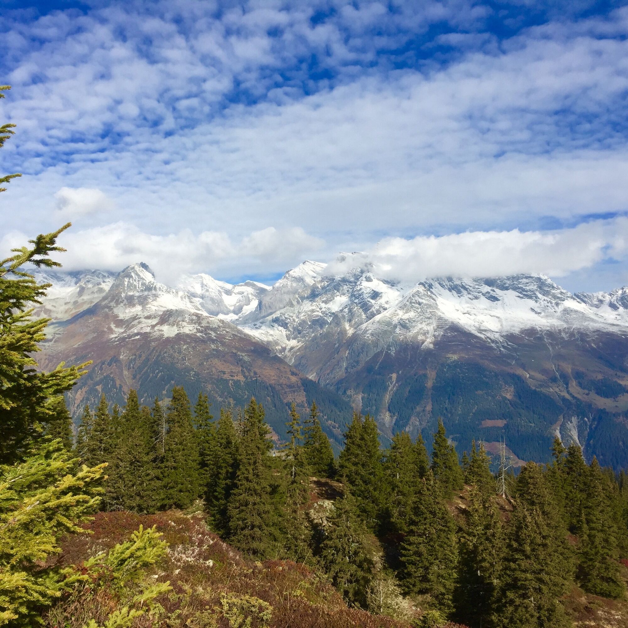
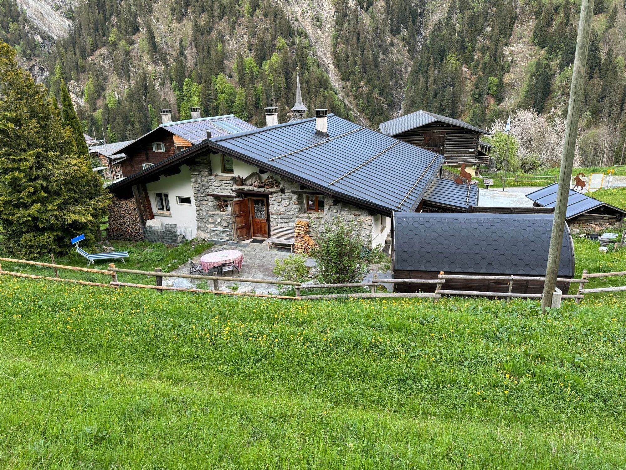
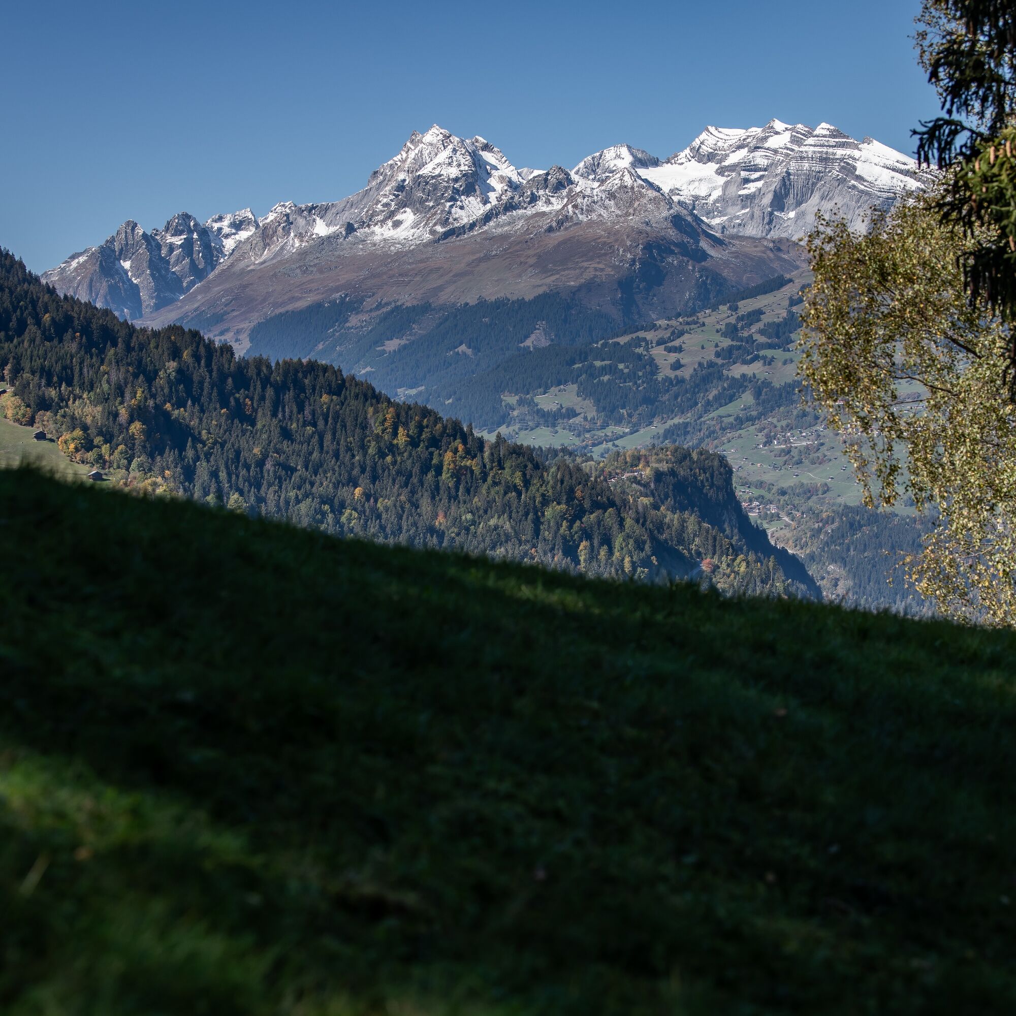
Place names such as «In da Maiasassa» then reveal that you are back in Walser territory. The settlement of St. Martin in the municipality of Obersaxen is the stage destination of the 200-kilometer-long long-distance trail and at the same time the connection to the Bündner Walser routes. Here you find typical wooden houses, the chaplaincy church, and a cozy inn. A view into the distance is also worthwhile: To the north majestically rise the Brigelser Hörner and the Kistenstöckli; on the opposite valley side, more 3000-meter peaks tower. The PostBus stop to Ilanz is located in the nearby Friggahüs.

Val - Surrein - Val Zavragia - Üsser Zavraga - St. Martin - Friggahüs
Good hiking shoes with a good grip, weather-appropriate clothing (rain jacket/sun protection), change of clothes, first aid kit, drinks, food, GPS device and/or map material, possibly hiking poles.
In uncertain weather conditions, the route should not be started. Weather changes in the mountains are frequent. If a rain front or similar develops during the hike, you should turn back in time.
Start especially early in autumn, as this stage is rather long.
To the train station Rabius-Surrein or Ilanz.
Long-distance trail
Only for this stage: Take the train to Rabius-Surrein and then continue with the Alpin bus to Val
SBB timetable for travel from Rabius-Surrein and return from Obersaxen Friggahüs.
Note Alpin bus Val Sumvitg: runs only twice a day, only on Saturdays, Sundays, and public holidays. Outside this schedule, a call taxi is available on request: GreinaBus GmbH, Surrein, Tel. 079 150 66 66. Price on request.
At the train stations
T3
The Ustria Val Sumvitg is not always open. Please make a reservation early.
Timetable for the PostBus from Obersaxen Friggahüs is available here
Learn more about the entire Walserweg San Gottardo at the International Association for Walser Culture.
Popularne wycieczki w okolicy
-
5,0
High valley Val Frisal
ciężkiWędrówka 12,4 km -
5,0
Kalktrittli - Nüschentäli - Muttsee - Obersee - Muttenchopf - Mörtel - Limmerensee - Kalktrittli (durch Stollen)
średniWędrówka 14,8 km -
5,0
Hiking route Suspension Bridge Val da Tersnaus
średniWędrówka 3,24 km -
Sedrun - Segnas - Disentis
światłoWędrówka 9,77 km -
4,6
Trail run: Pigniu - Panixersee - Pigniu
średniTrailrunning 8,32 km -
Panoramic route between Piz Mundaun and Péz Sezner
średniWędrówka 6,75 km -
5,0
Hike Vrin - Uors over the suspension bridge Val da Silgin
średniWędrówka 12,3 km -
3,5
Places of Magic - Lumbrein
średniWędrówka 8,74 km -
5,0
Disentis - Cavardiras - Cupadials - Sumvitg
światłoWędrówka 13,7 km -
5,0
Breil/Brigels - Val Frisal Rundwanderung
średniWędrówka 20,8 km

Wędrówki i tropienie


Nie przegap ofert i inspiracji na następne wakacje
Twój adres e-mail została dodana do listy mailingowej.