


Samnaun Dorf – Salaaser Kopf – Alptrider Sattel
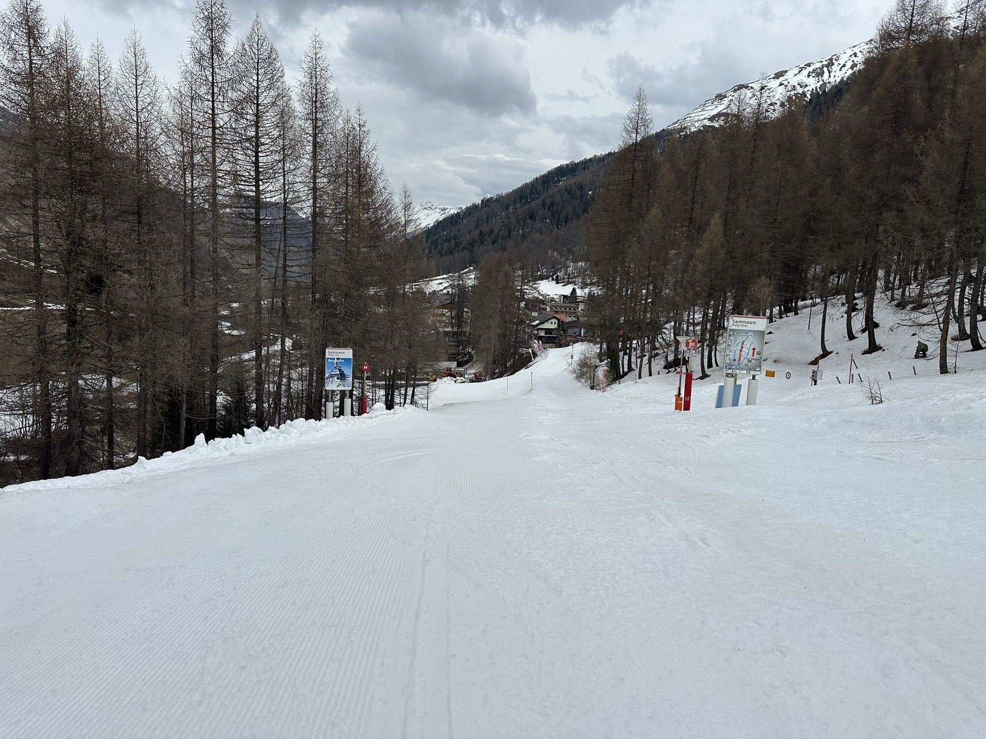
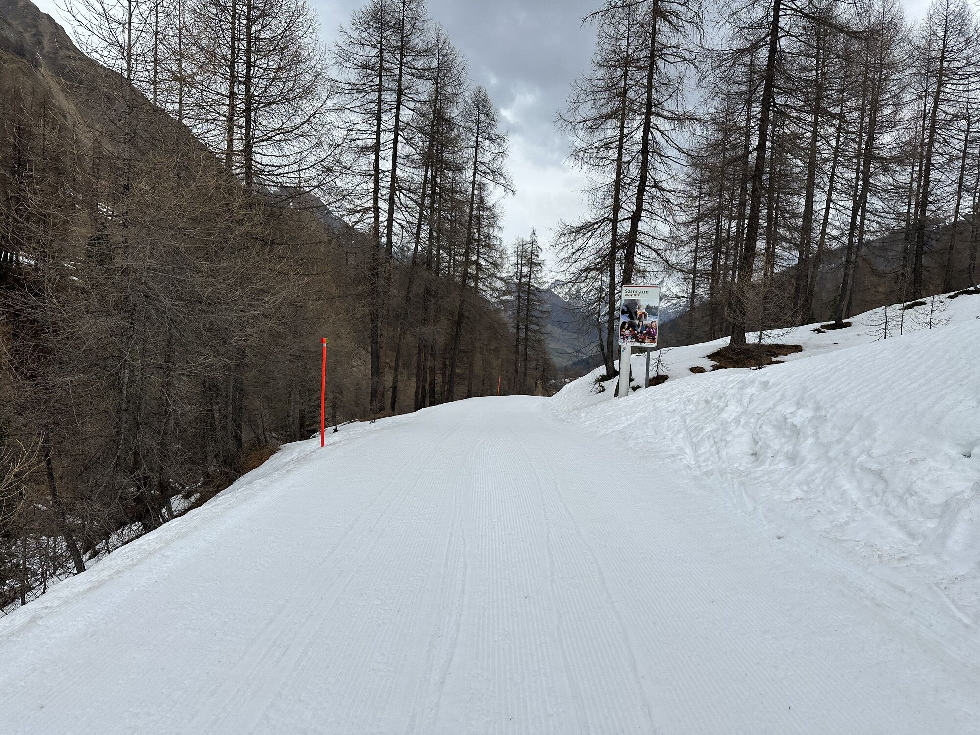
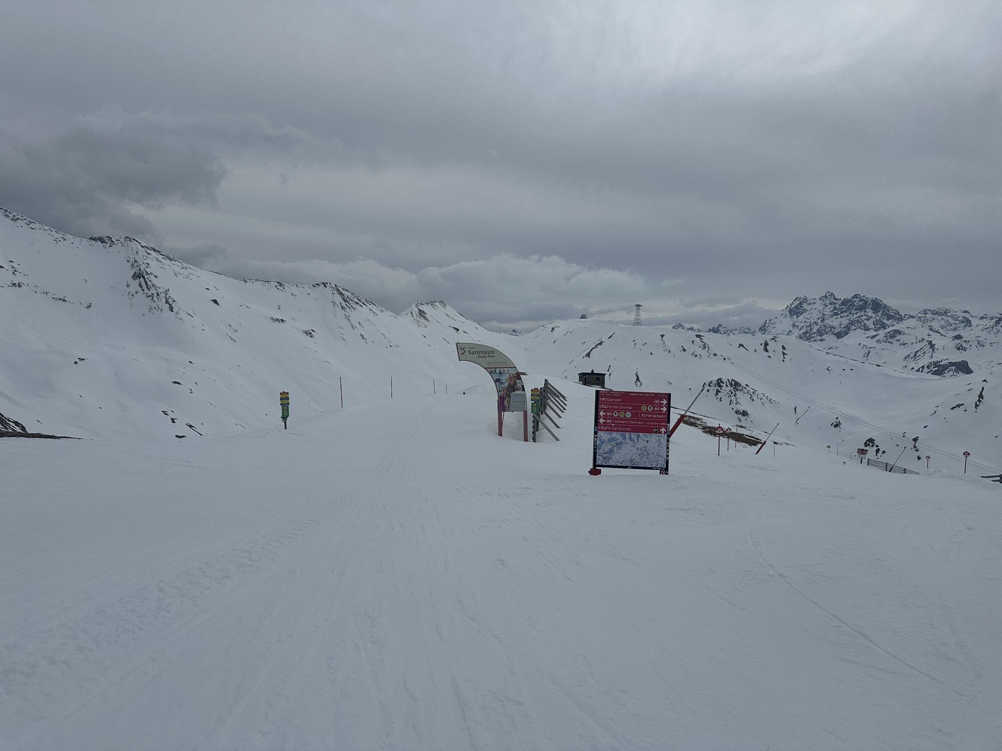

The hike starts through the village street with numerous duty-free shops in Samnaun Dorf. At the end of the village street, it goes steadily uphill via Flurstraße to Val Musauna, always along the Schergenbach...
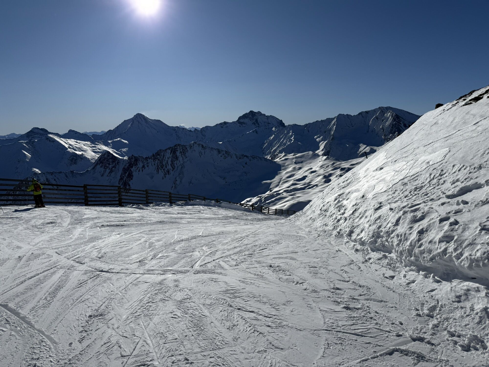
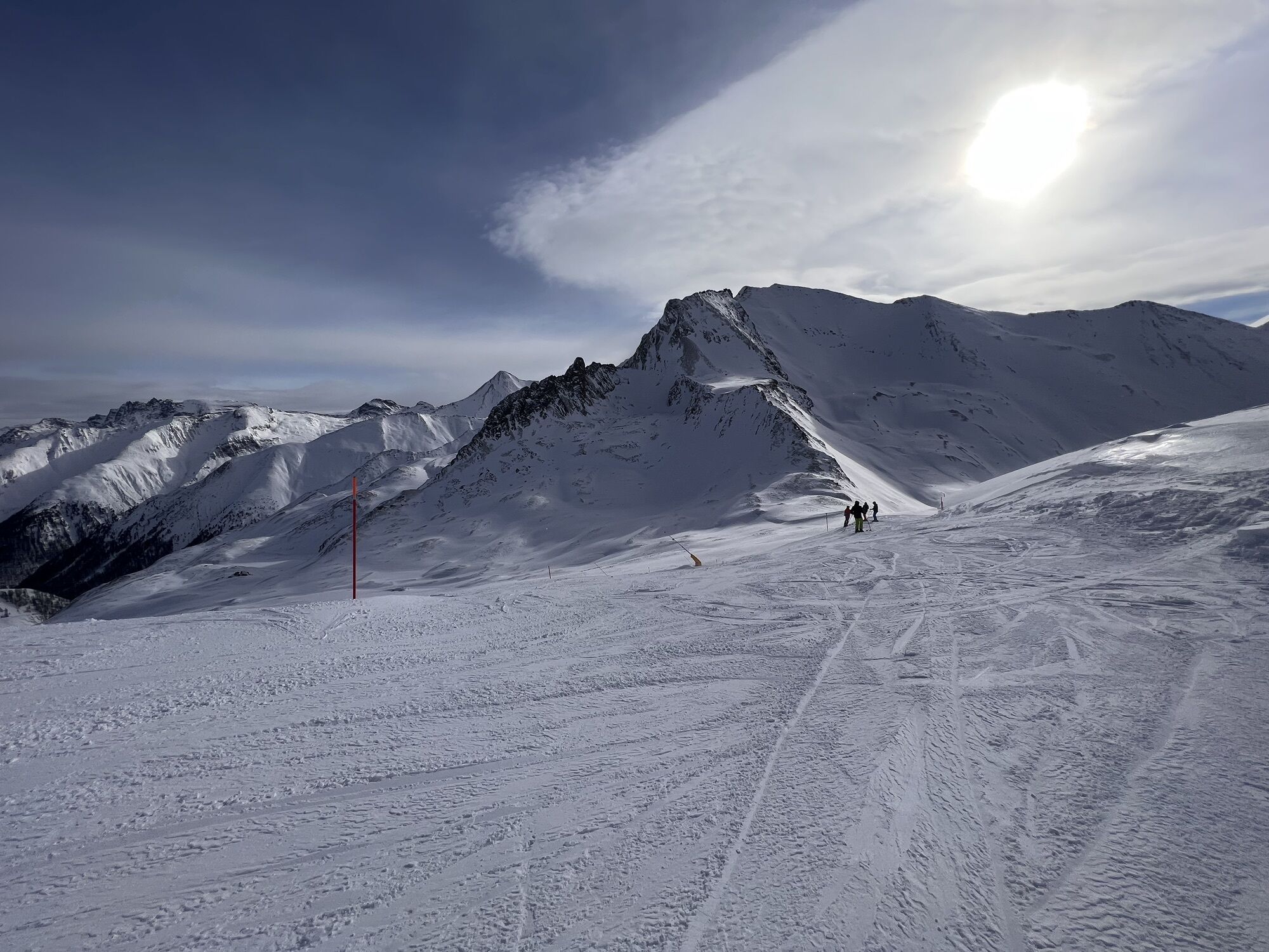
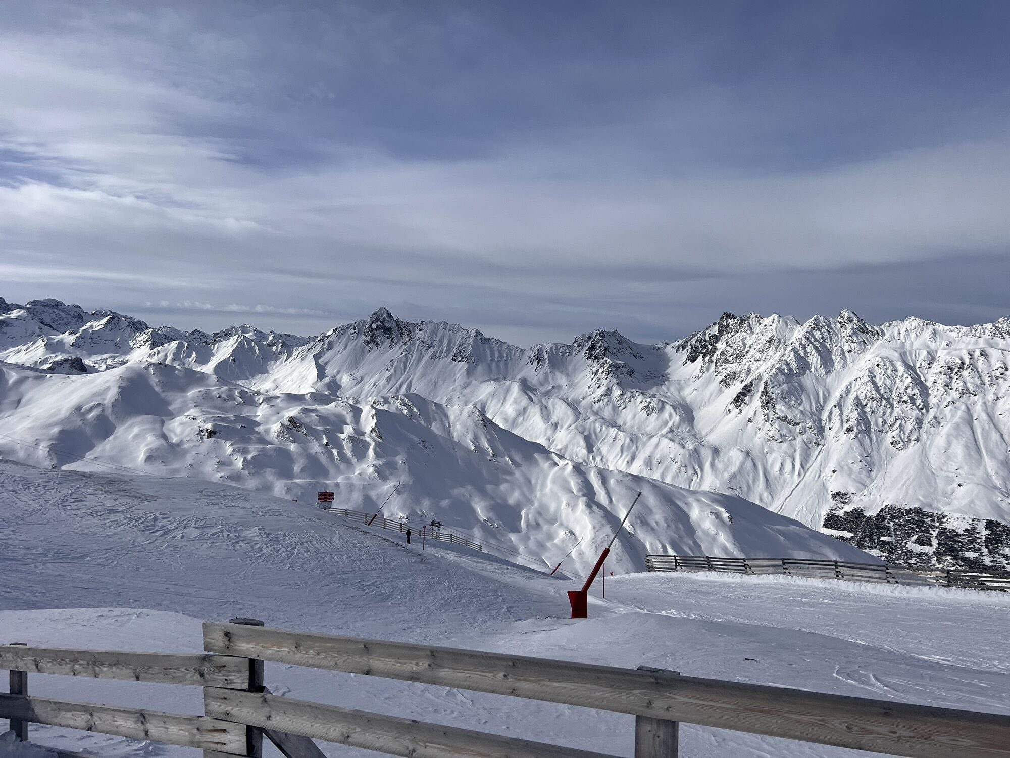
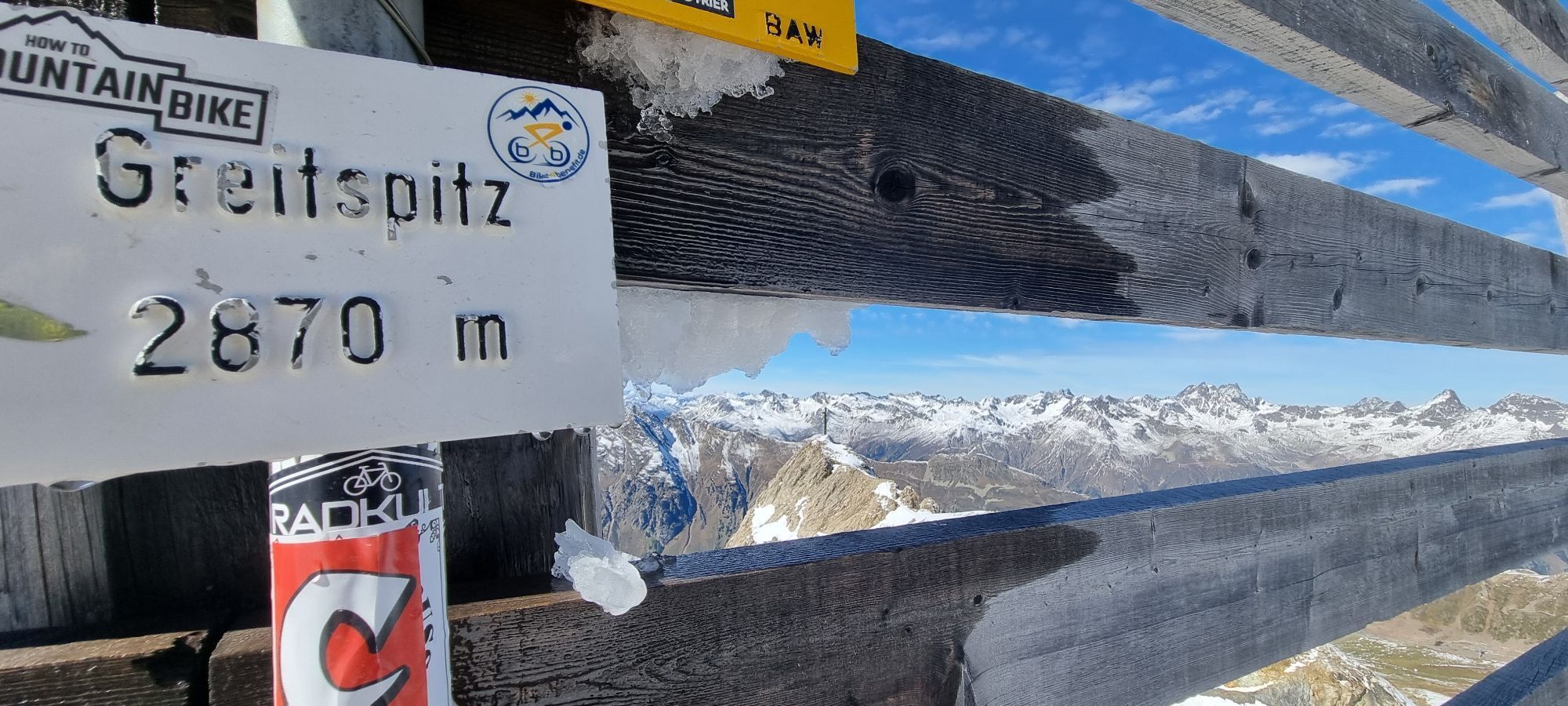
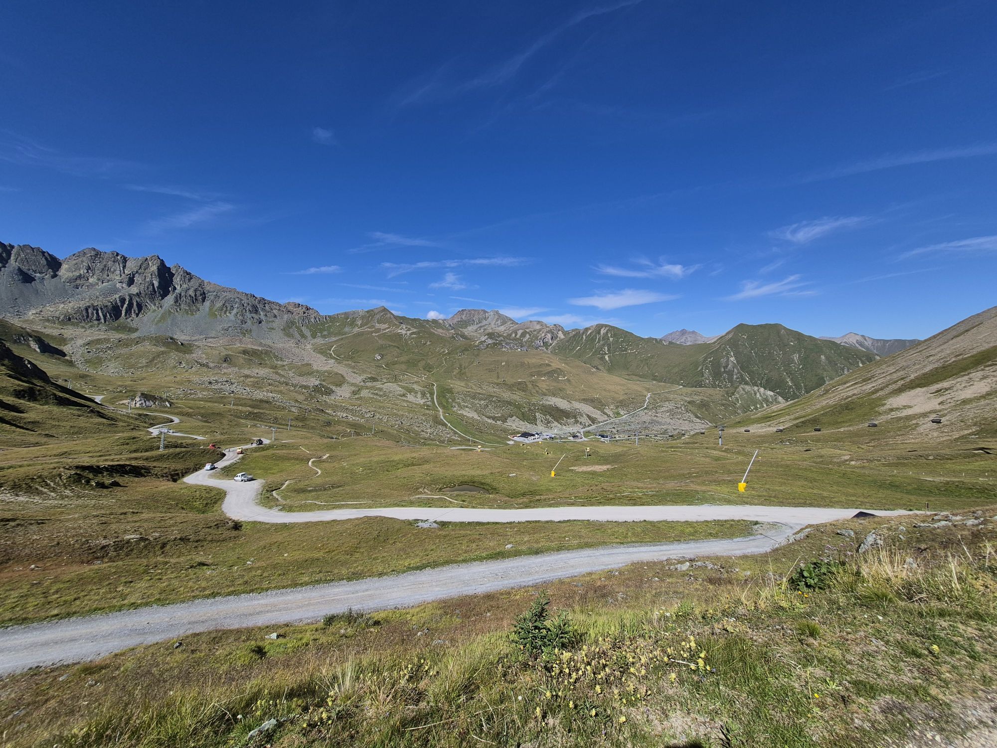
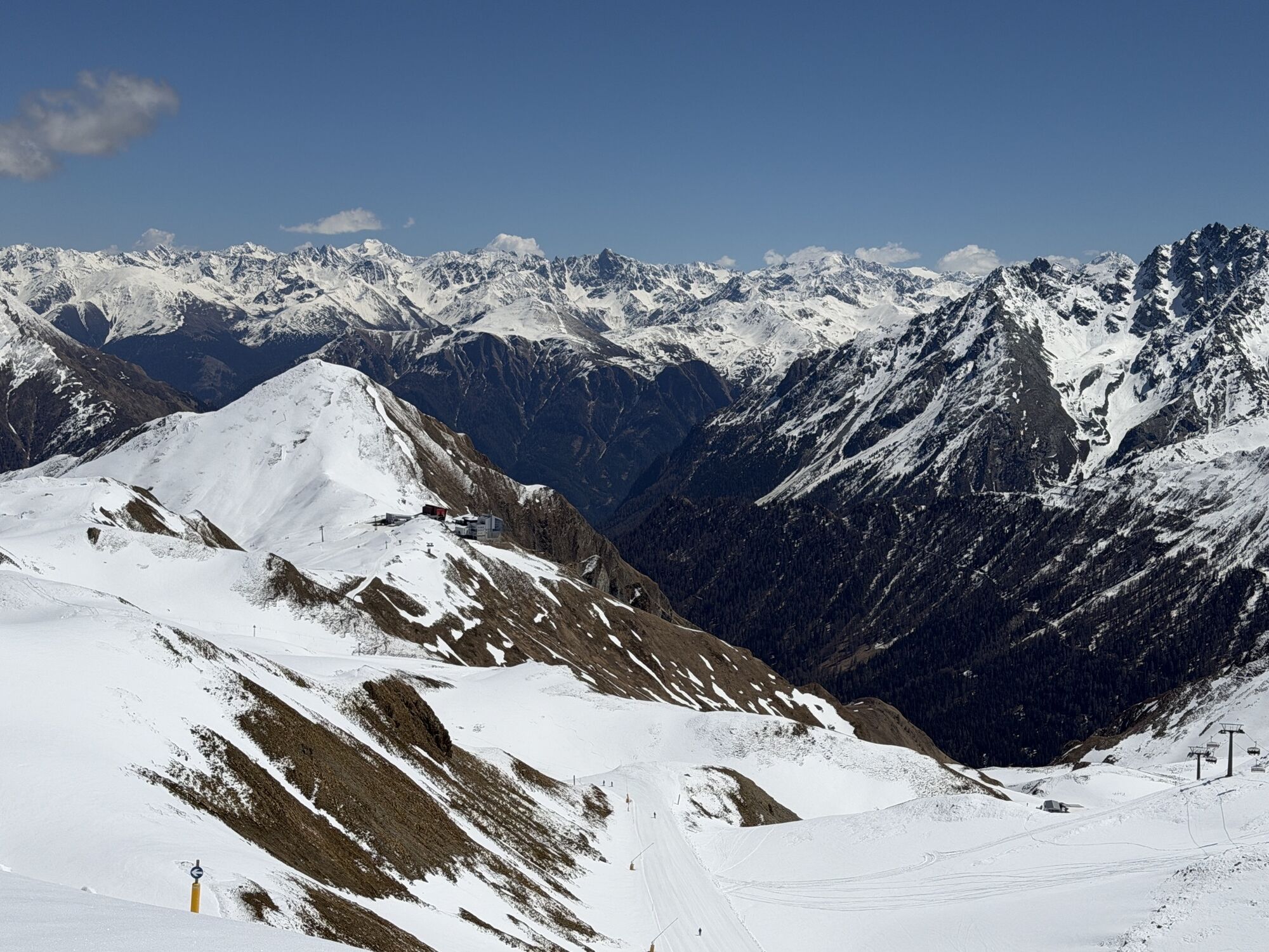
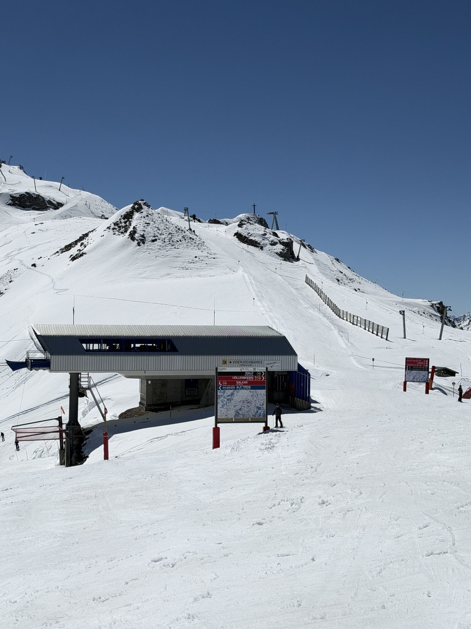
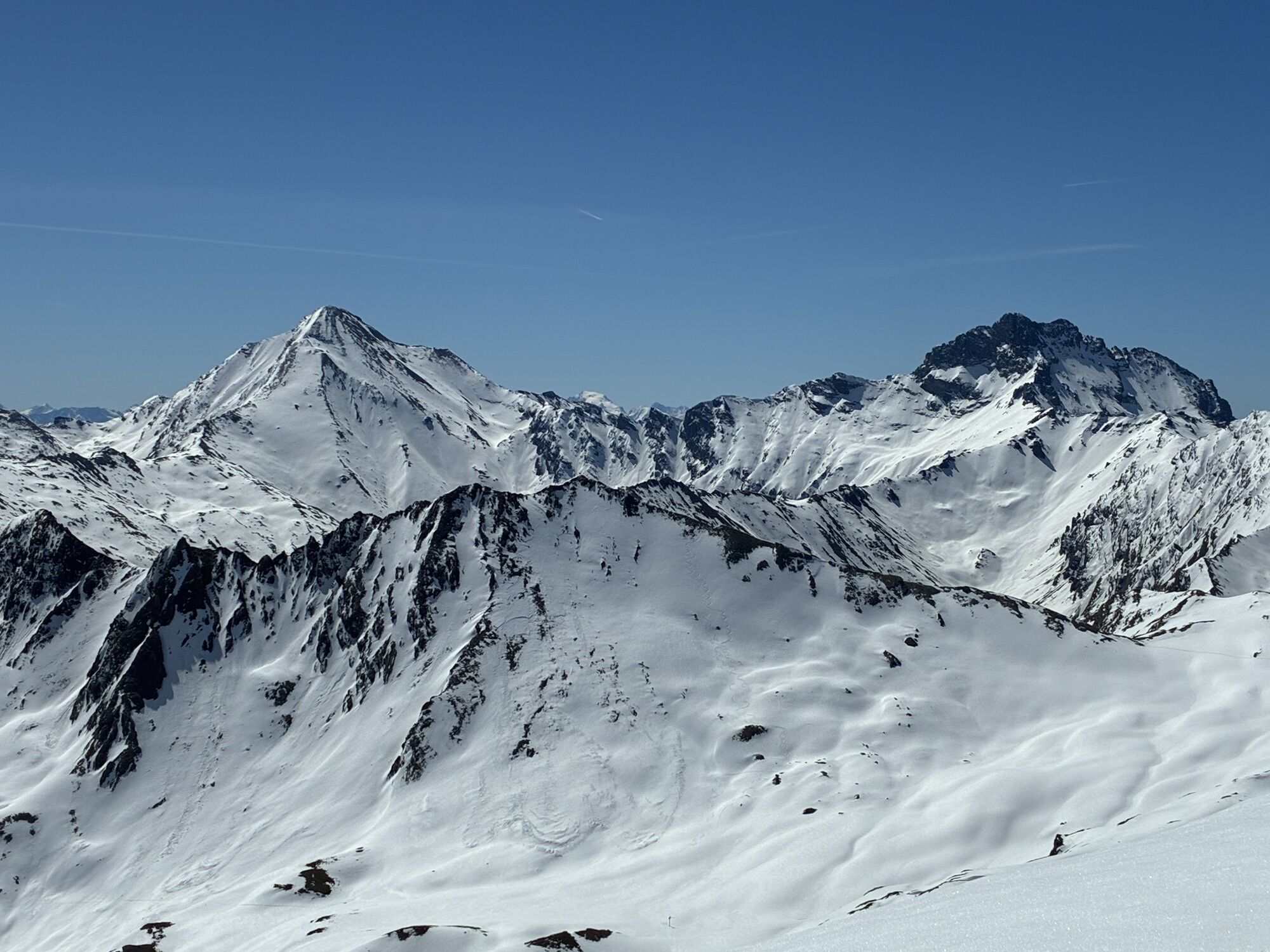
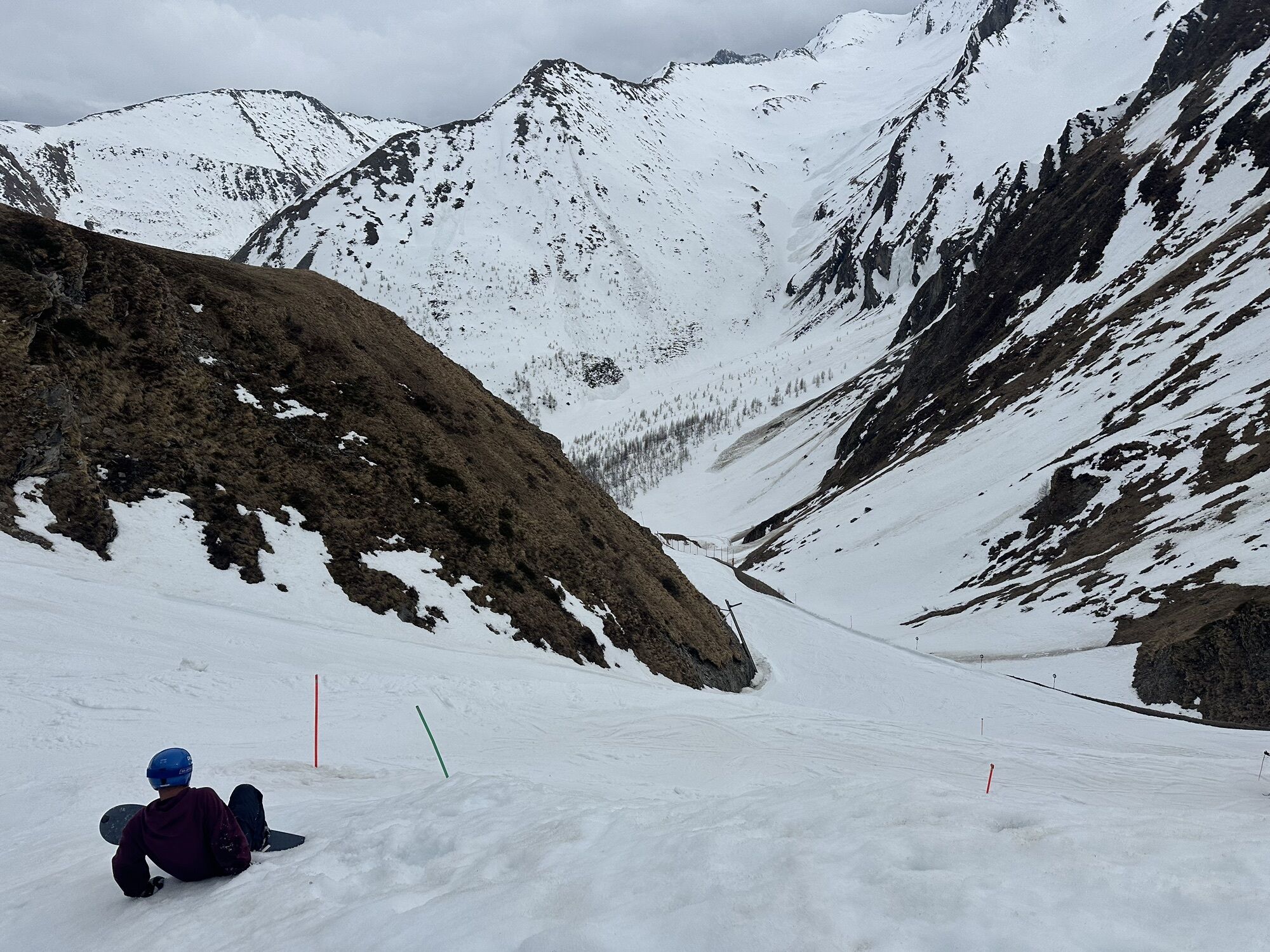
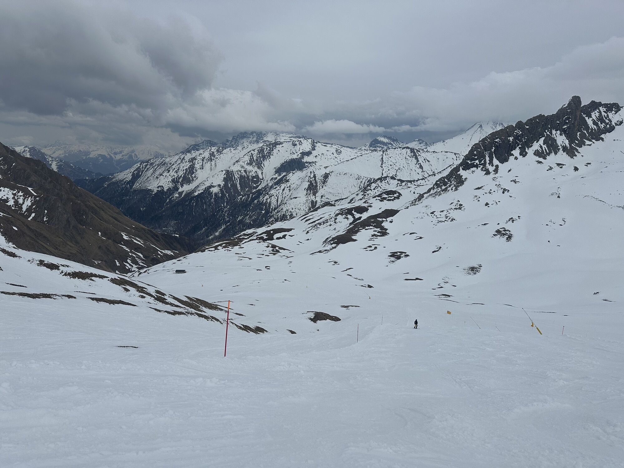
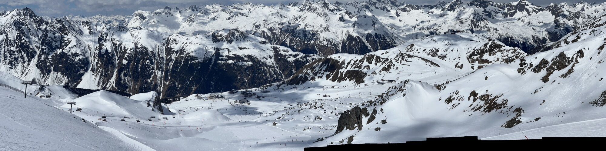
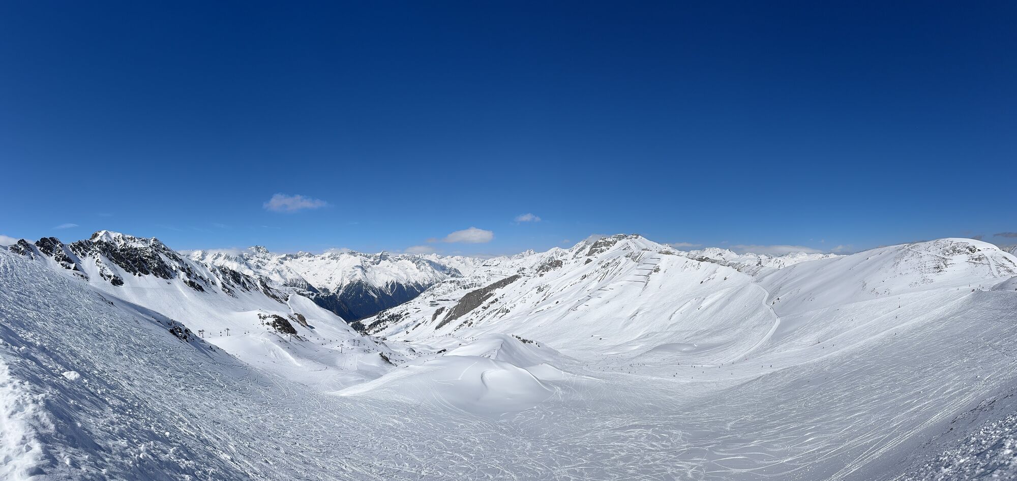
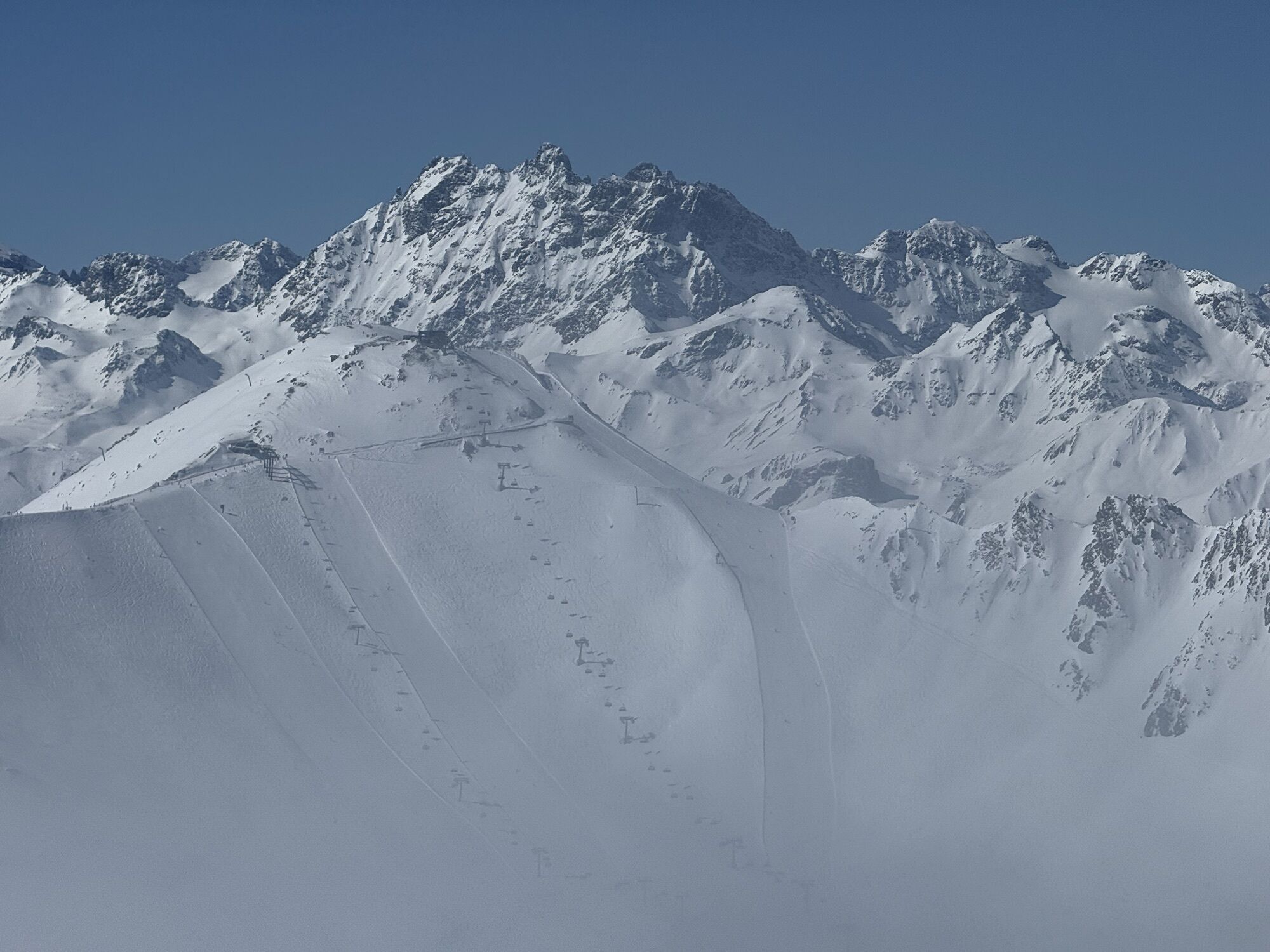
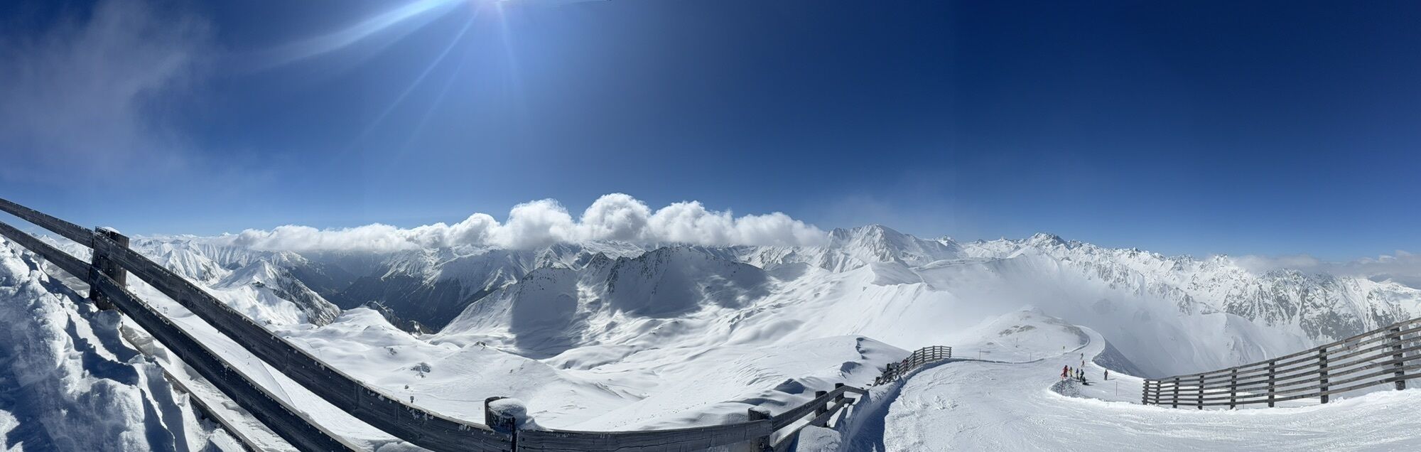
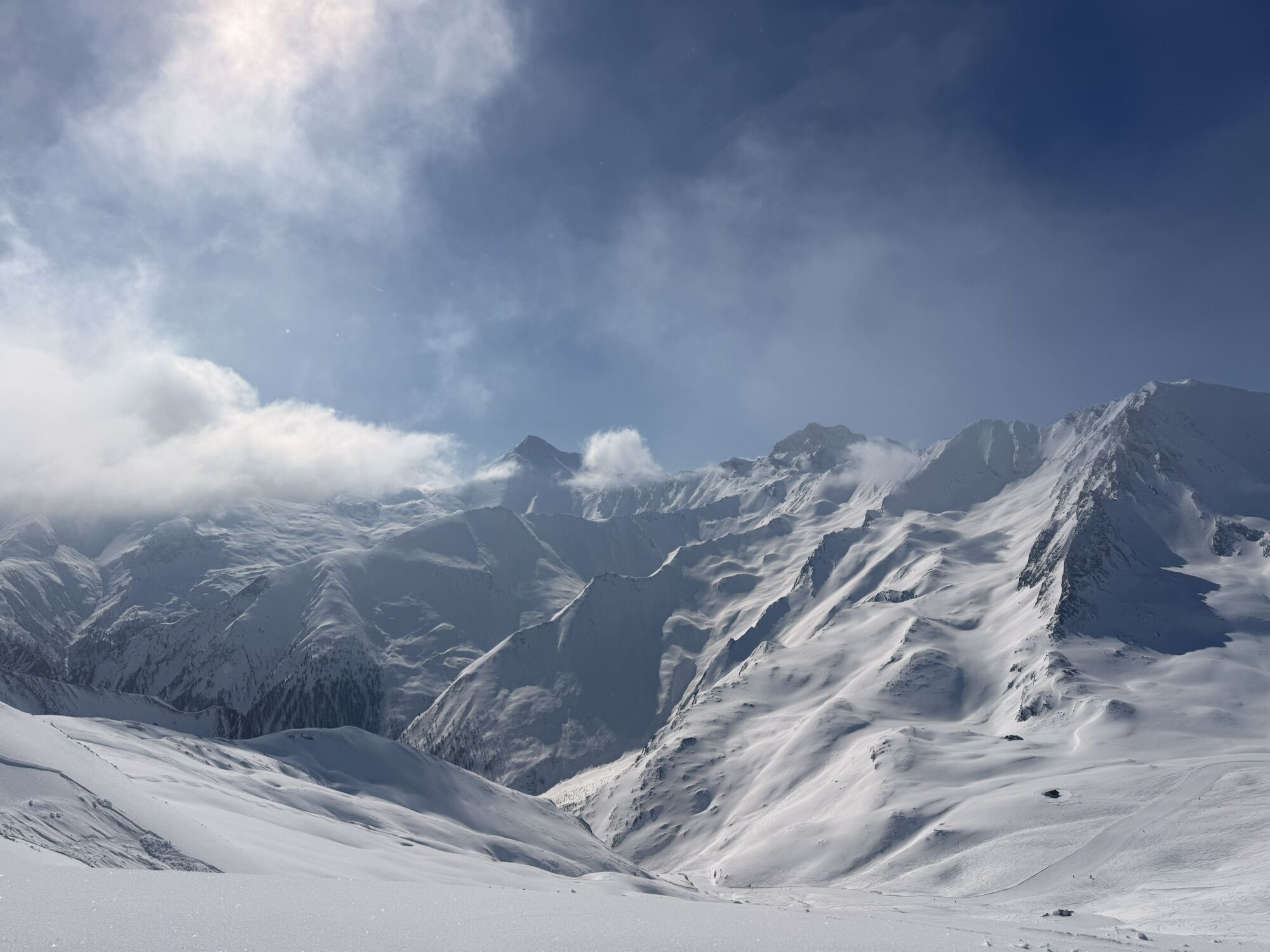
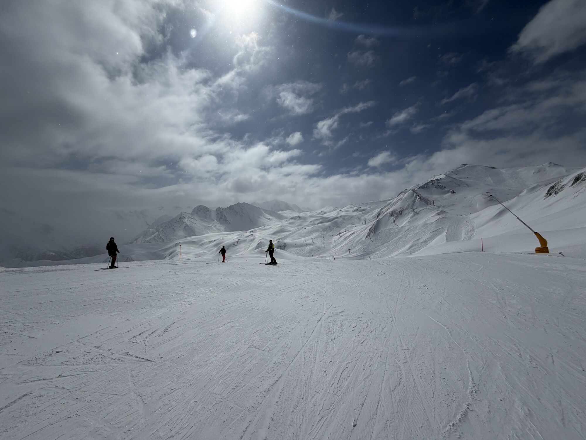
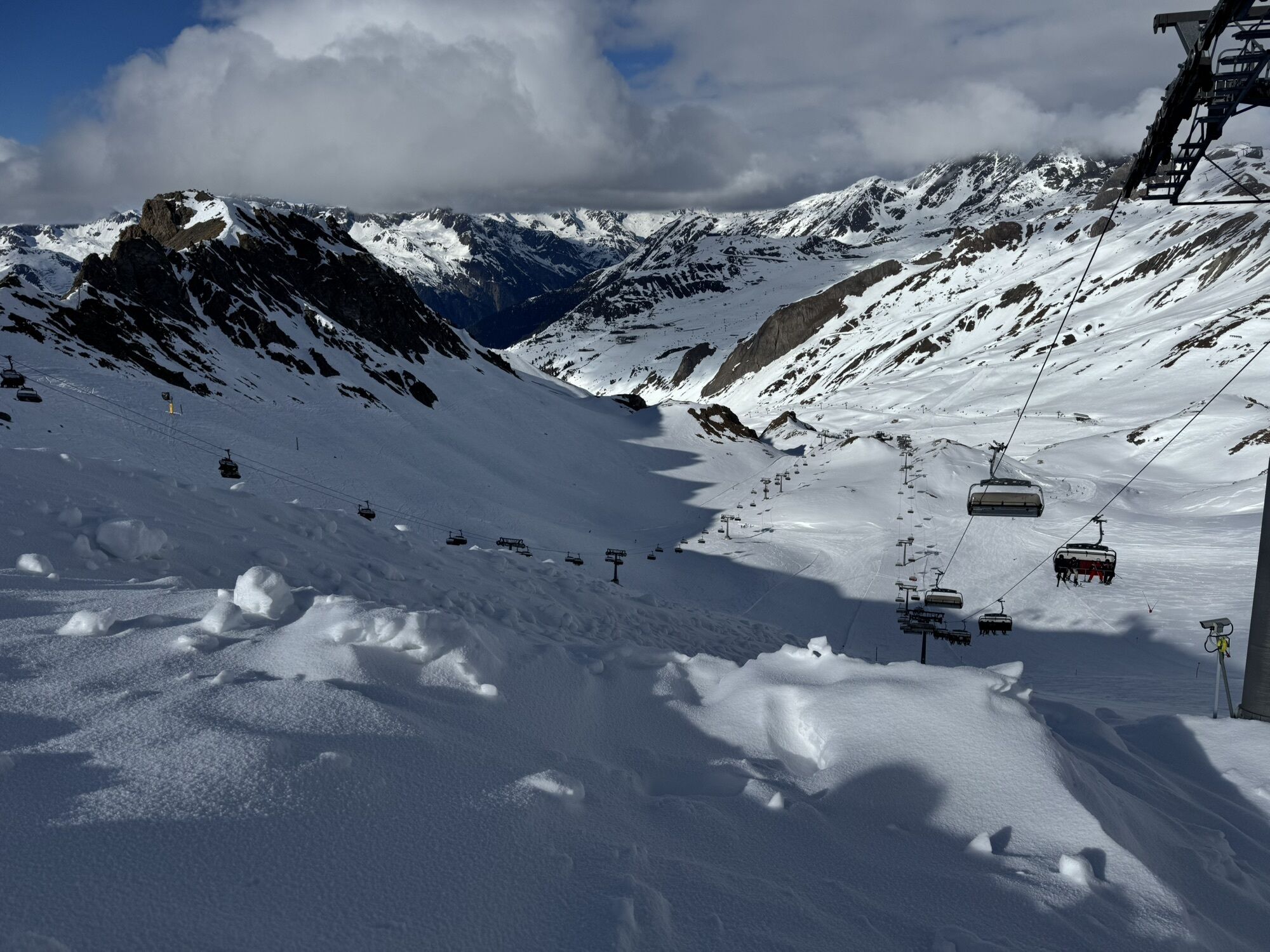
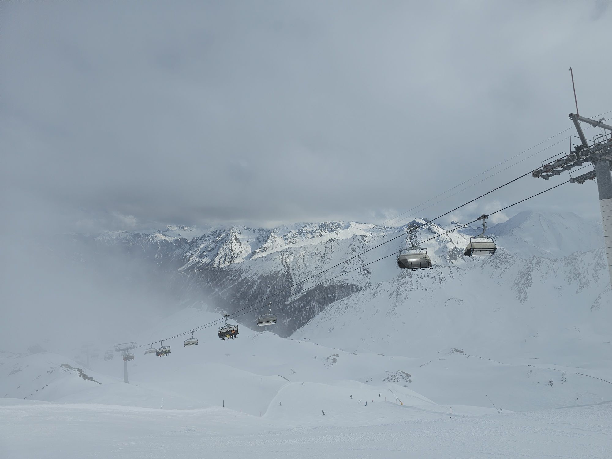
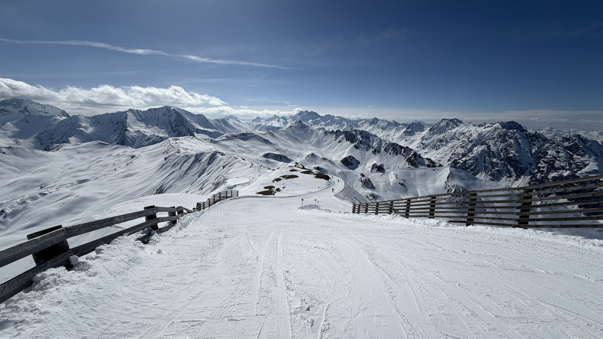
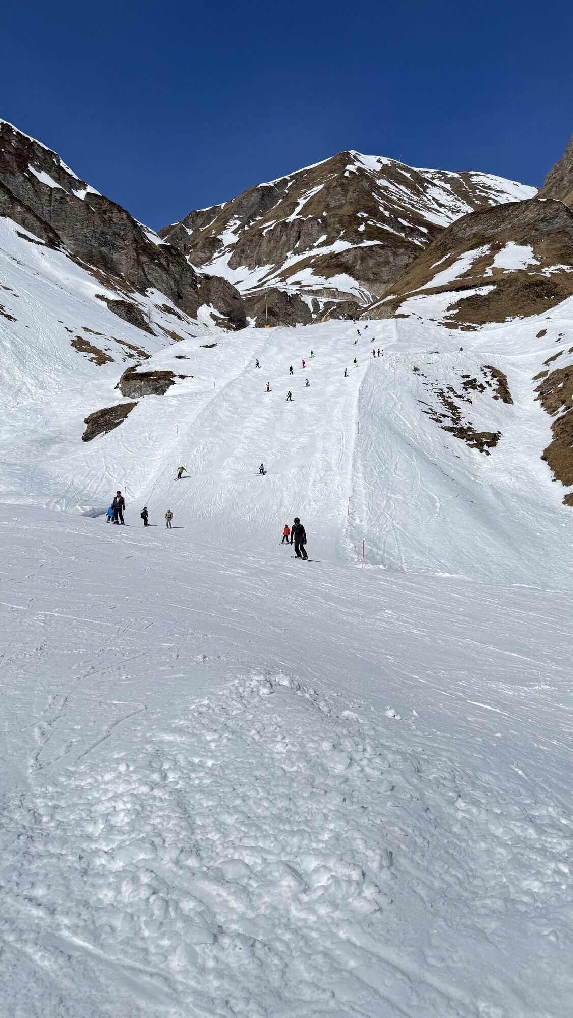
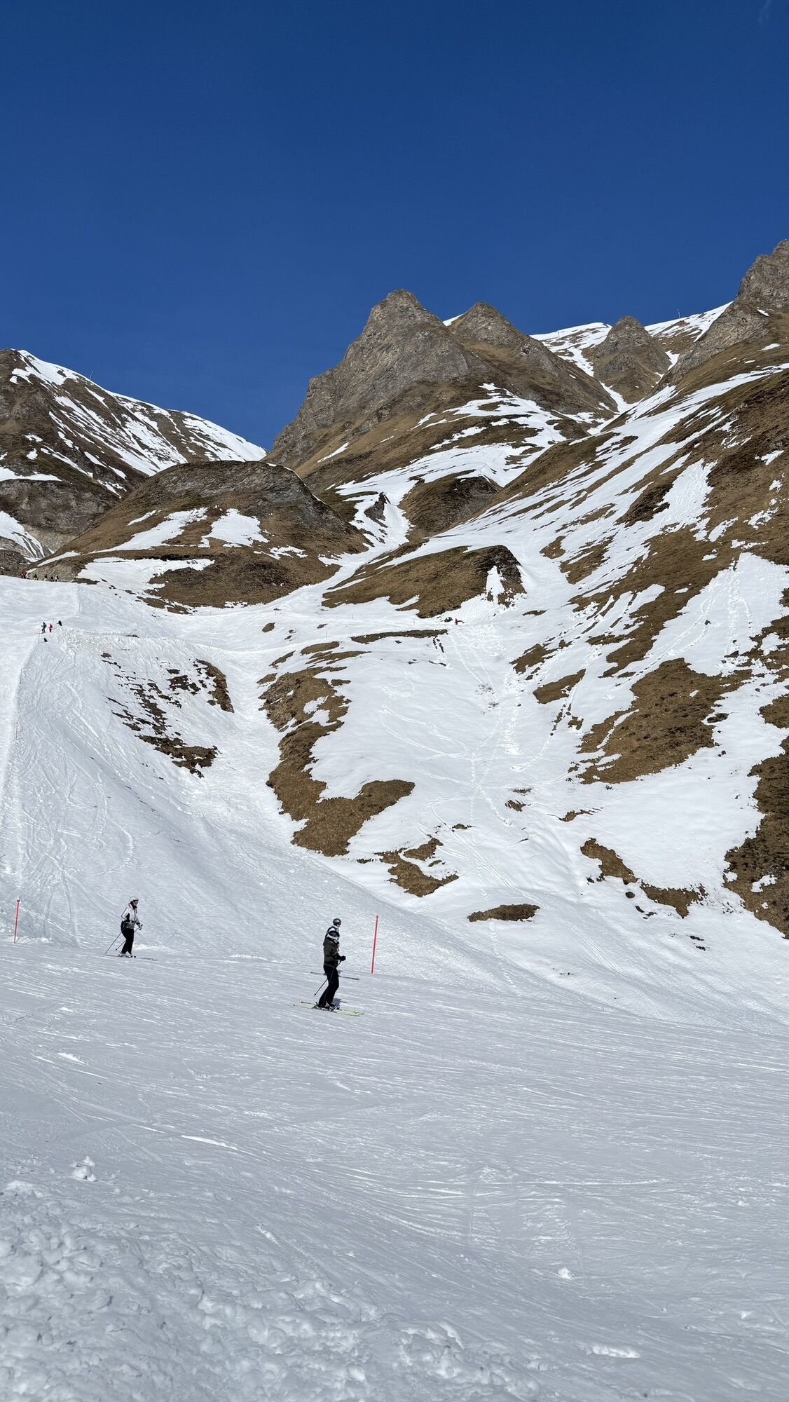
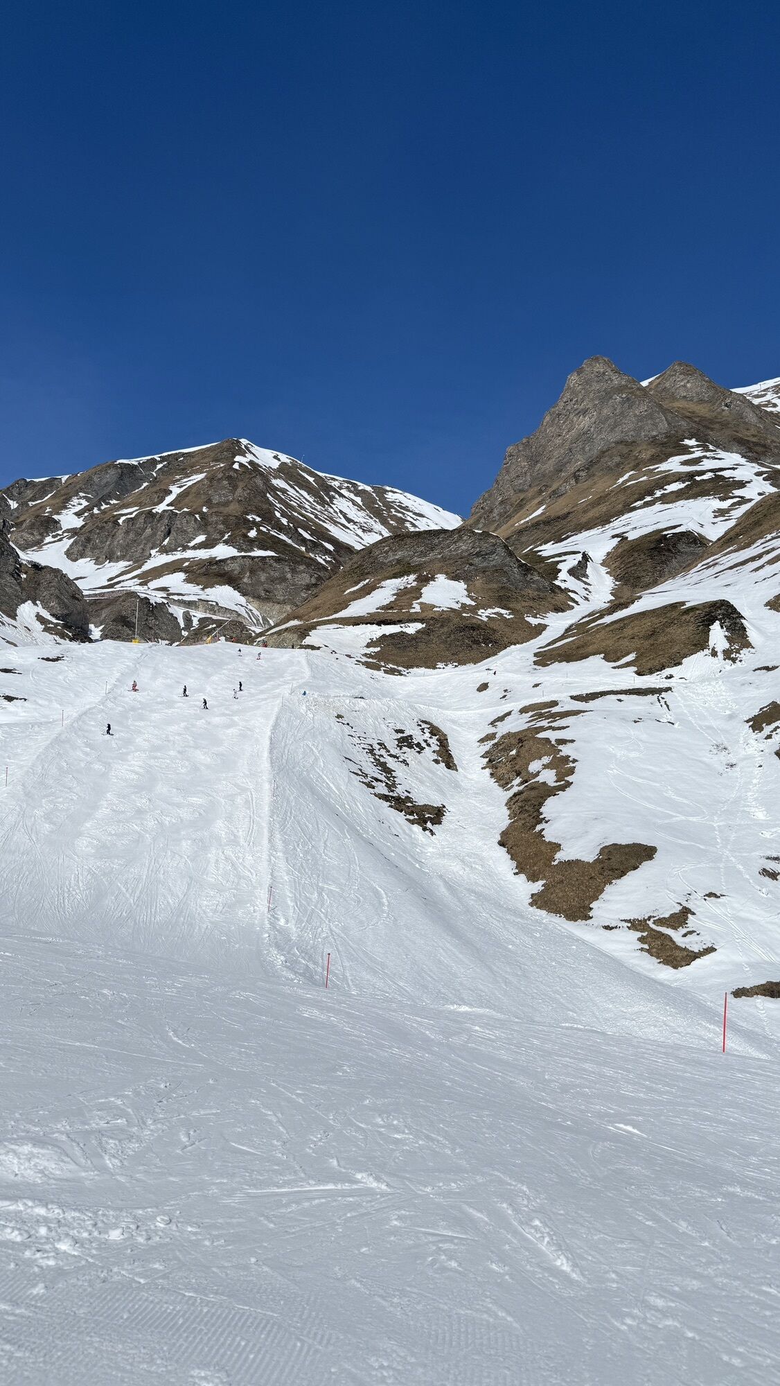
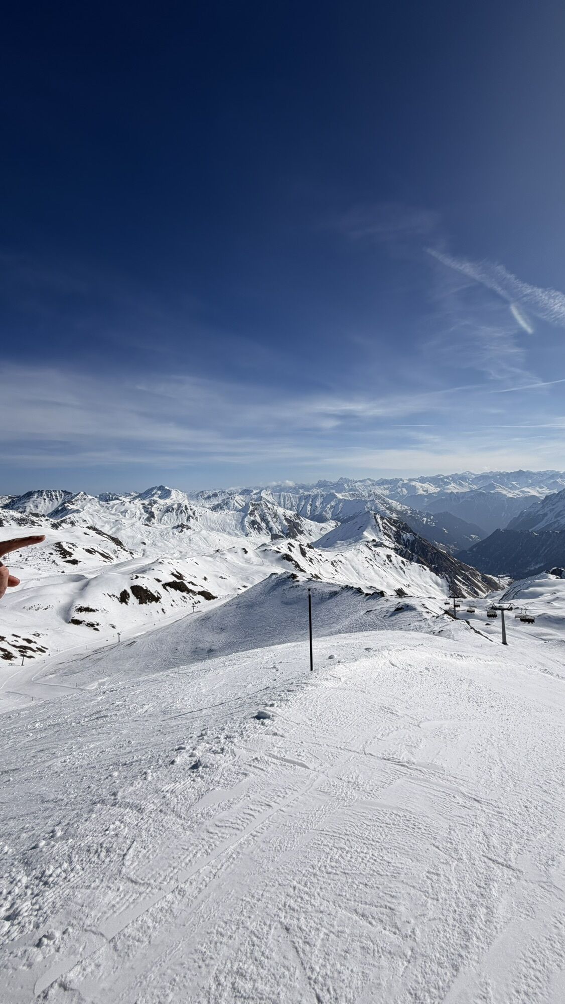
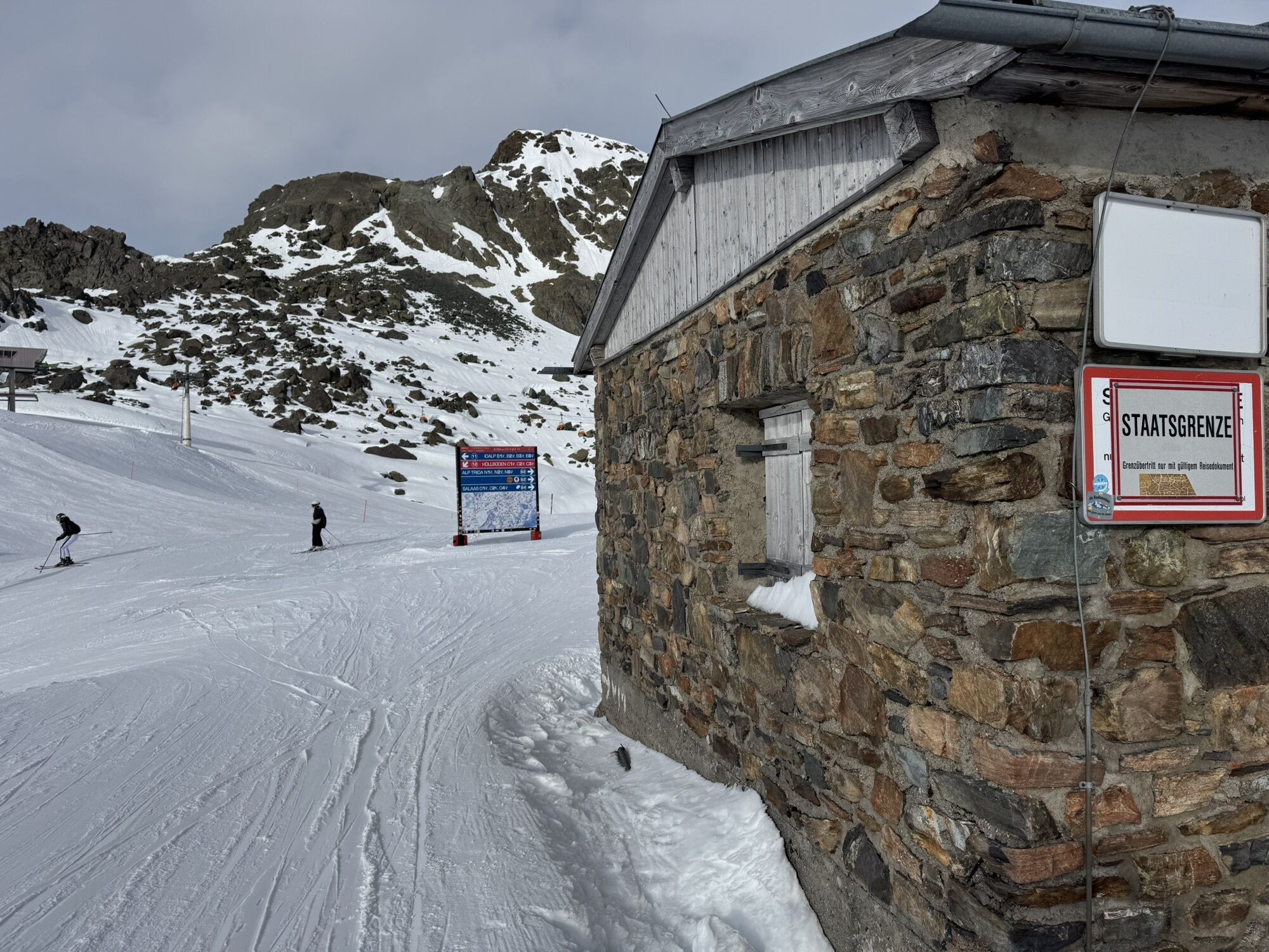
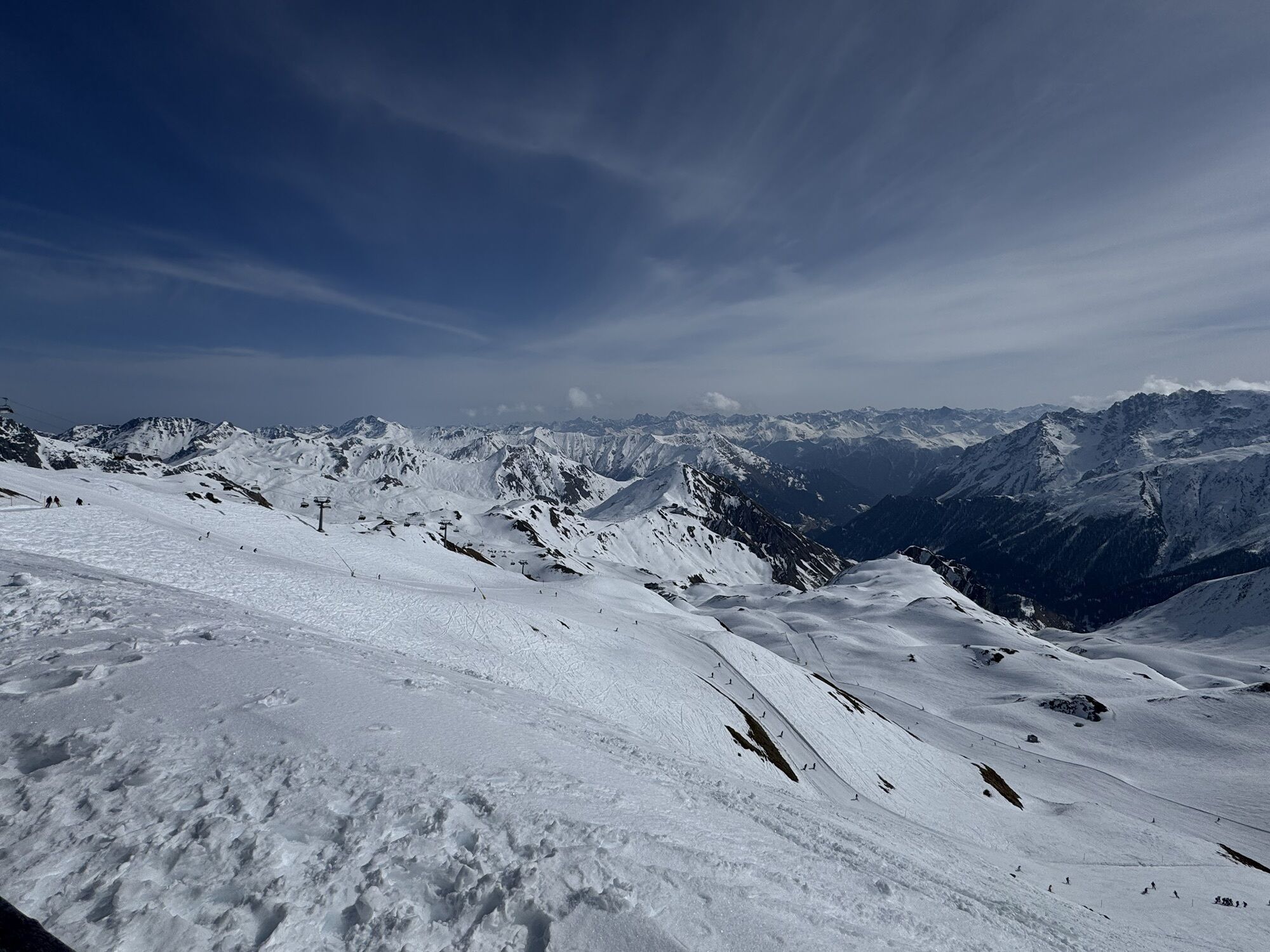
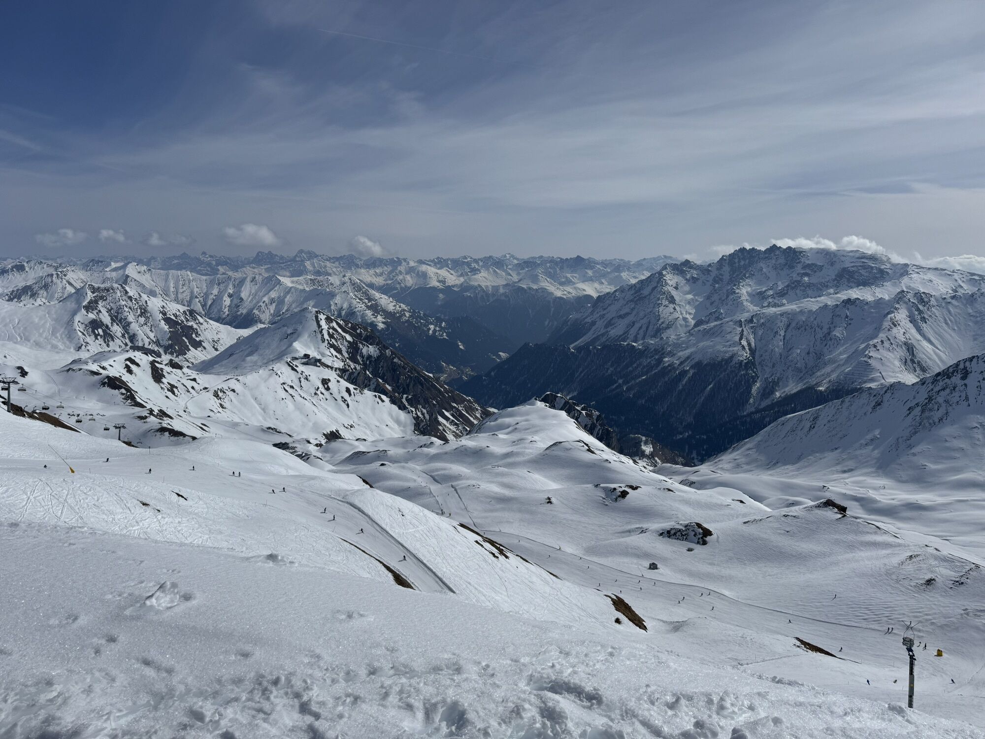
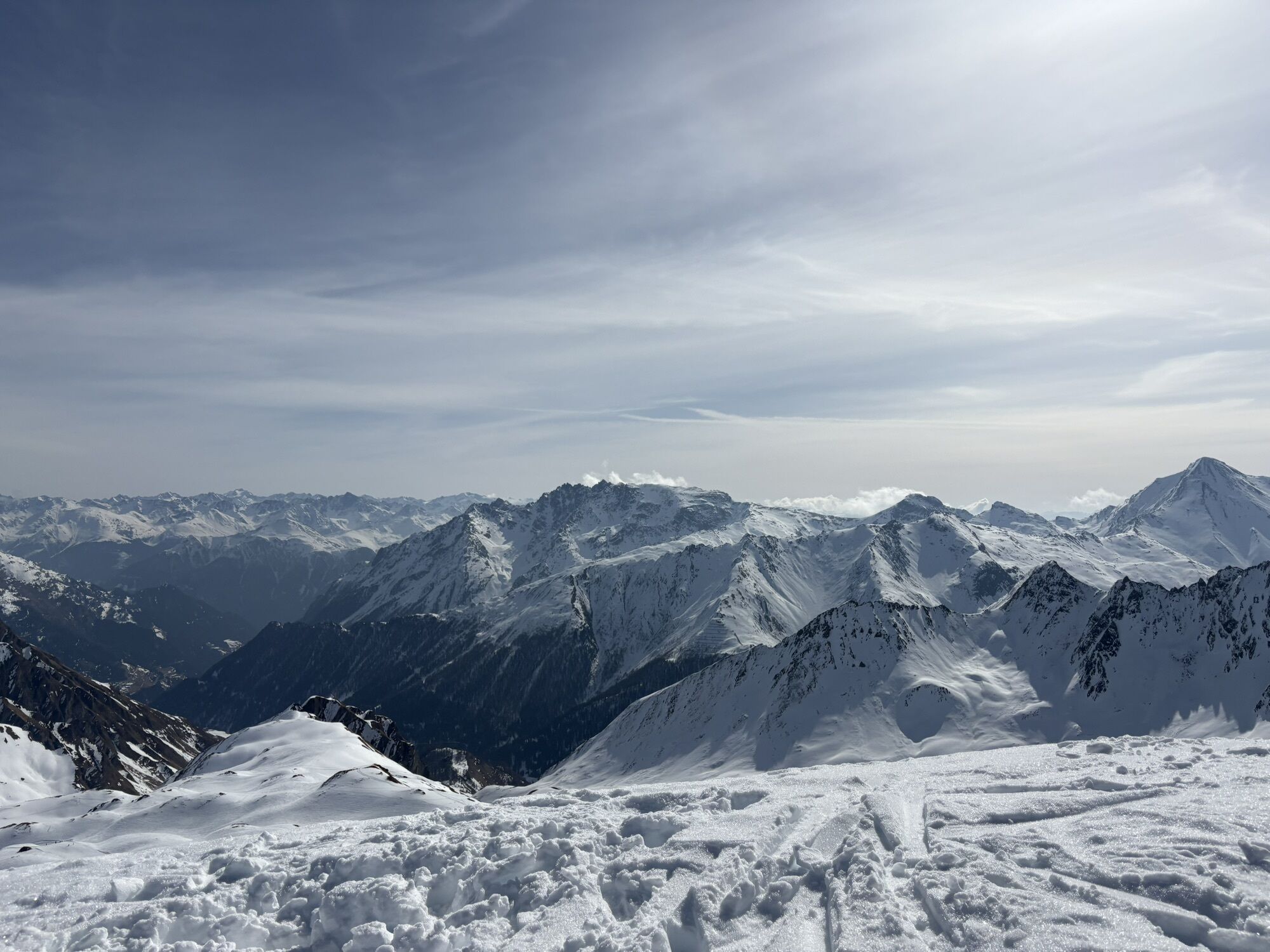
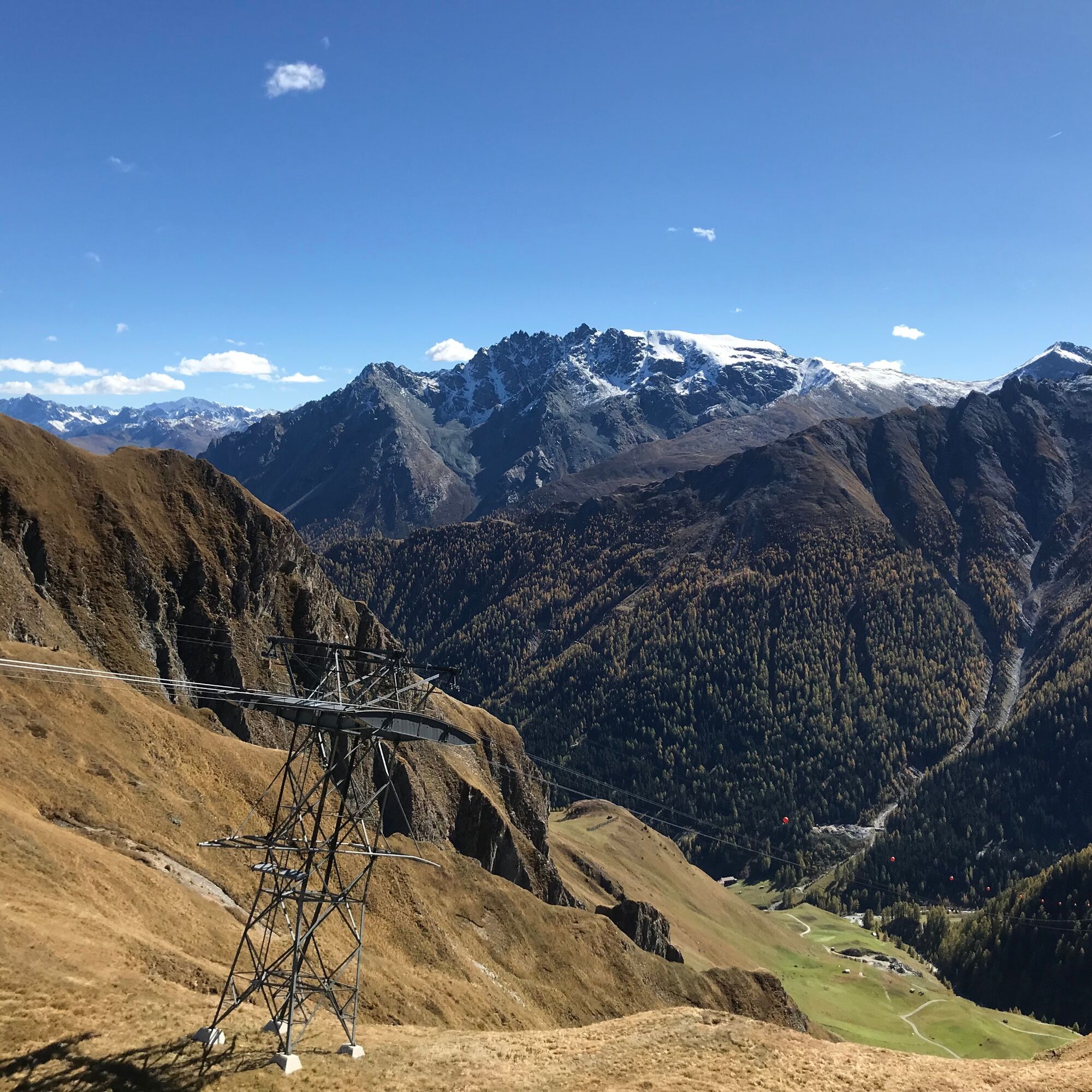
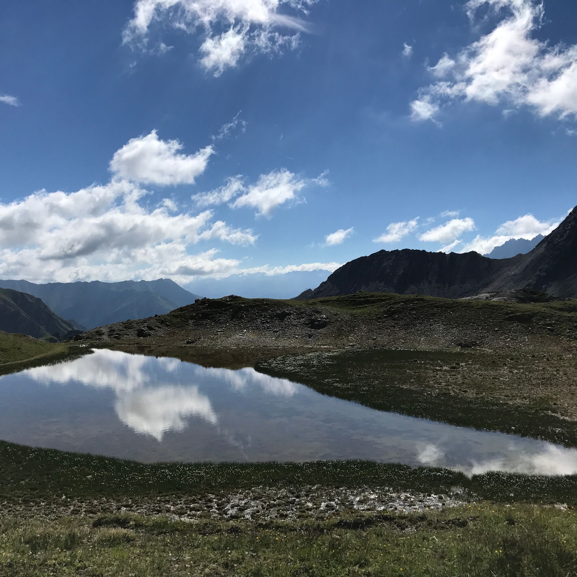
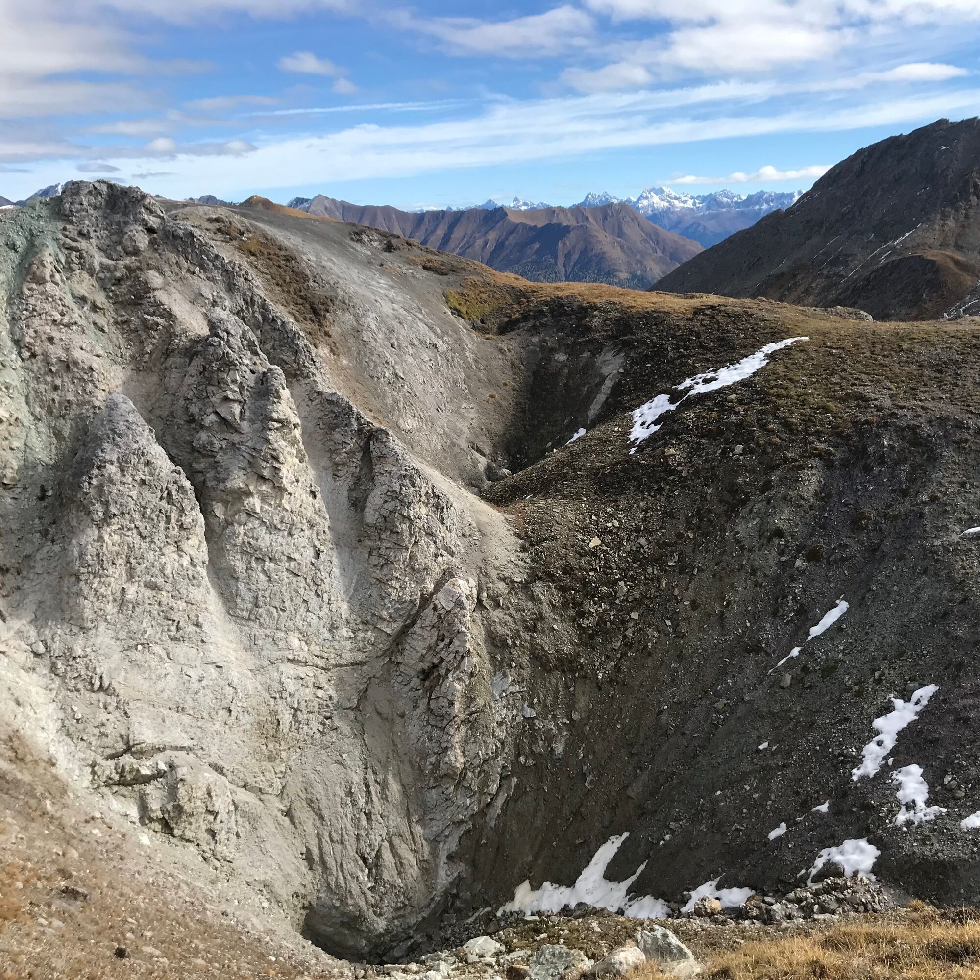
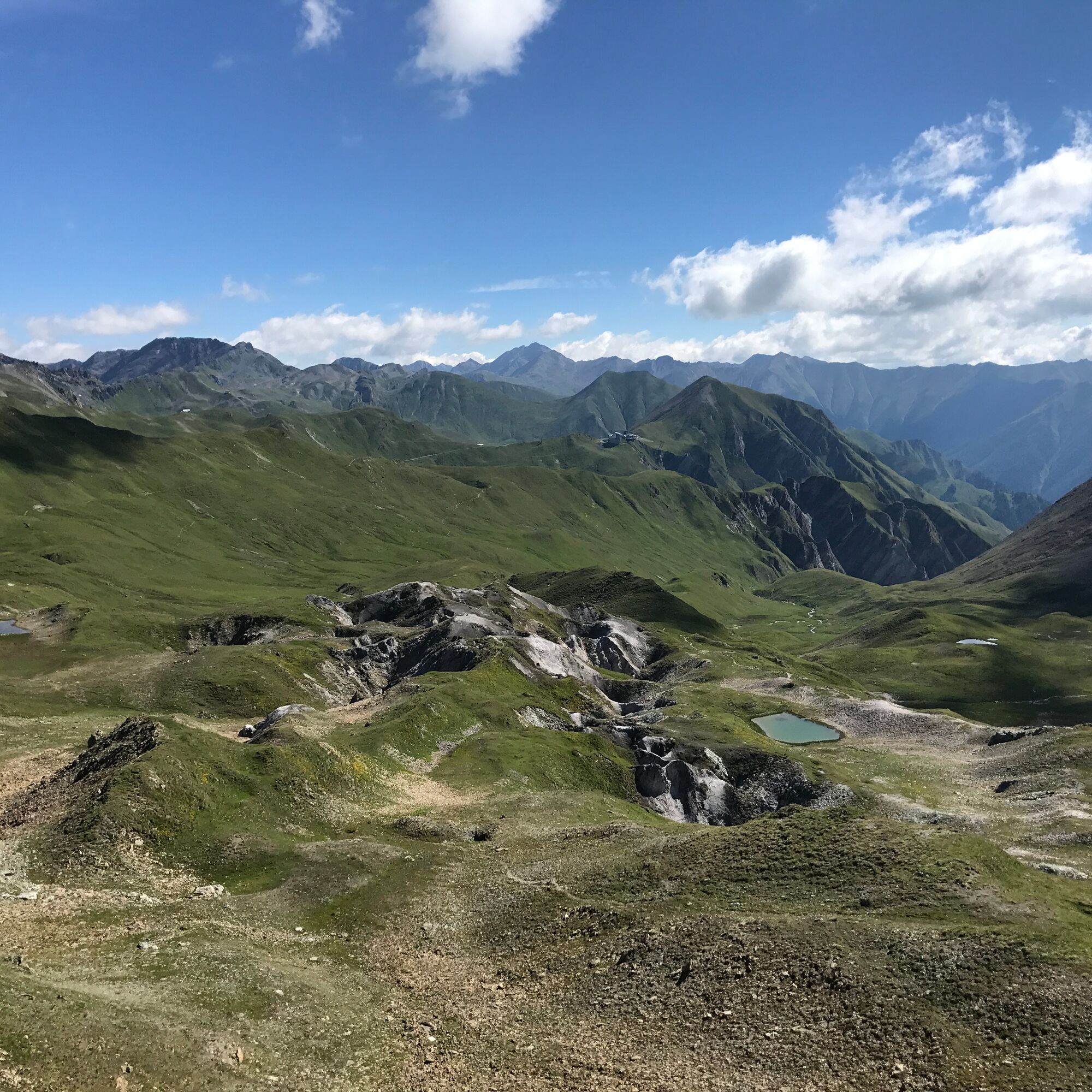
The hike starts through the village street with numerous duty-free shops in Samnaun Dorf. At the end of the village street, it goes steadily uphill via Flurstraße to Val Musauna, always along the Schergenbach stream. From point 2087 the path becomes steeper up to the Zeblas meadows. From here it is not far to the Zeblasjoch, where the border to Austria is also located. From Zeblasjoch, continue past Palinkopf towards Salaaser Kopf, where an impressive panoramic view is offered: The Verwall group in the Paznauntal valley to the north, the Samnaun group with Muttler and Stammerspitz to the south, and Hexenkopf to the east, extending to the Ötztal Alps. Continue along the border ridge to the highest point of the hike, Greitspitz, then down to Viderjoch. Here you can either hike with the chairlift towards Alp Trida/Alp Trider Sattel or descend in about 45 minutes along the hiking path past the reservoir (used for winter snowmaking) down to Alp Trider Sattel.

Samnaun Dorf, past the Schmuggleralm, Zeblas meadows, Salaaser Kopf, Greitspitz, Viderjoch, Alp Trider Sattel
Tak
Tak
Tak
Good footwear, rain and sun protection, drinking bottle, first aid kit.
The route was assessed under favourable weather conditions; current weather conditions and forecasts must be strictly observed before setting off. This hike requires basic alpine experience, orientation skills, hiking boots are recommended.
Emergency numbers:
144 Emergency, First Aid
1414 Mountain Rescue REGA
112 International emergency number
From the north: via Landquart – Klosters with car shuttle through the Vereina Tunnel (Selfranga - Sagliains). Then on H27 towards Scuol and Martina to Vinadi. At the Vinadi junction to Samnaun (approx. 1 hour from Vereina South Portal)
From the east: via the Inn Valley road B180 via Landeck to Pfunds, Kajetansbrücke junction and via Spiss to Samnaun.
From the south: via Reschen Pass (Nauders) on B180 to Pfunds, Kajetansbrücke junction and via Spiss to Samnaun.
By the Rhaetian Railway (from Chur, Landquart/Prättigau or from the Upper Engadine) hourly to Scuol-Tarasp station
Then by PostAuto (from Scuol-Tarasp or Martina, Cunfin) hourly to the PostAuto stop Samnaun Dorf, Riva
In Samnaun during the day hourly service with the Samnaun bus to the PostAuto stop Samnaun Dorf, Riva
Parking lot Chasa Riva at the village entrance Samnaun Dorf
Additional parking lots at Musella or Votlas
Kamery internetowe z trasy
Popularne wycieczki w okolicy
- 5,0
Menta Alm - Scheibenalm
światłoWędrówka 11,4 km - 4,7
Jamtal lodge
średniWędrówka 19,6 km - 4,3
Sonnenkogel - Friedrichshafener lodge
średniWędrówka 13,2 km - 5,0
Rundwanderung Berglisee, Mathon
ciężkiWędrówka 11,1 km - 5,0
Samnaun Dorf – Muttler
ciężkiWędrówka 14,8 km - 5,0
Alpkogelbahn mountain station - Kops reservoir - Zeinisjoch - Galtür
światłoWędrówka 15,7 km - 4,7
Around the Flimspitz from Alptrider Sattel
średniWędrówka 8,57 km - 5,0
Kappl, Diasbahn Bergstation, Niederelbehütte, Diasbahn, Österreich
średniWędrówka 10,1 km - 3,5
Zeinisjoch
światłoWędrówka 11,6 km - 4,5
Etappe 2; Kappl-Heidelberger Hütte
średniMountainbike 23,3 km

Wędrówki i tropienie


Nie przegap ofert i inspiracji na następne wakacje
Twój adres e-mail została dodana do listy mailingowej.