


Müstair – Sta. Maria - Müstair
Opposite the postal bus stop Müstair posta, go up the street and follow the signpost to Sta. Maria. The street leads through the upper part of the village, passing beautiful houses, some decorated with...
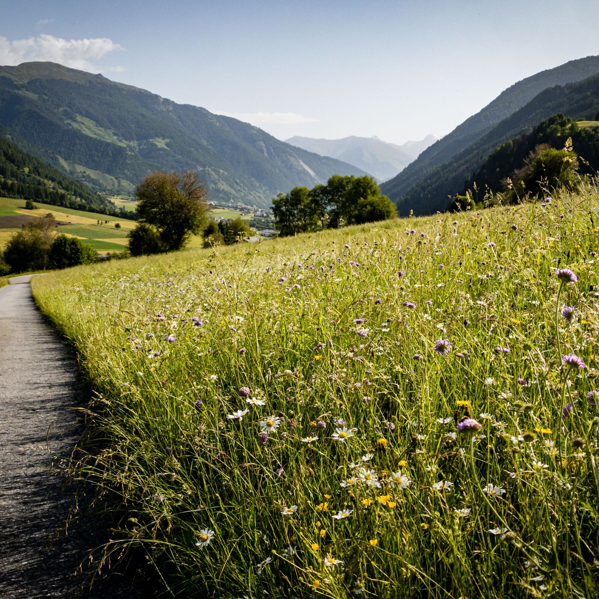
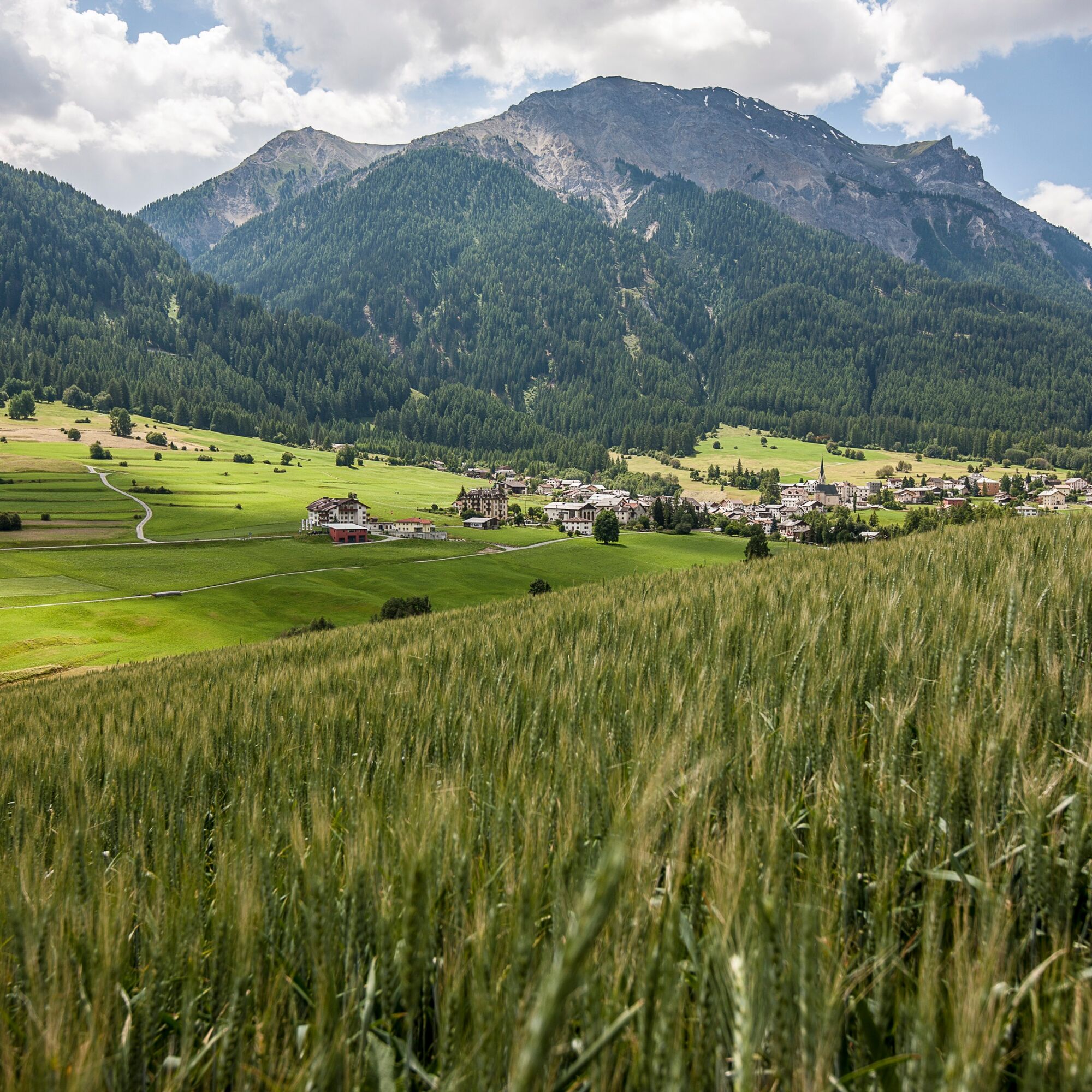
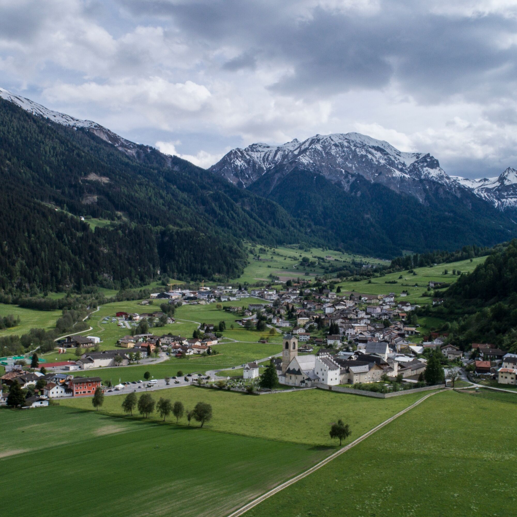
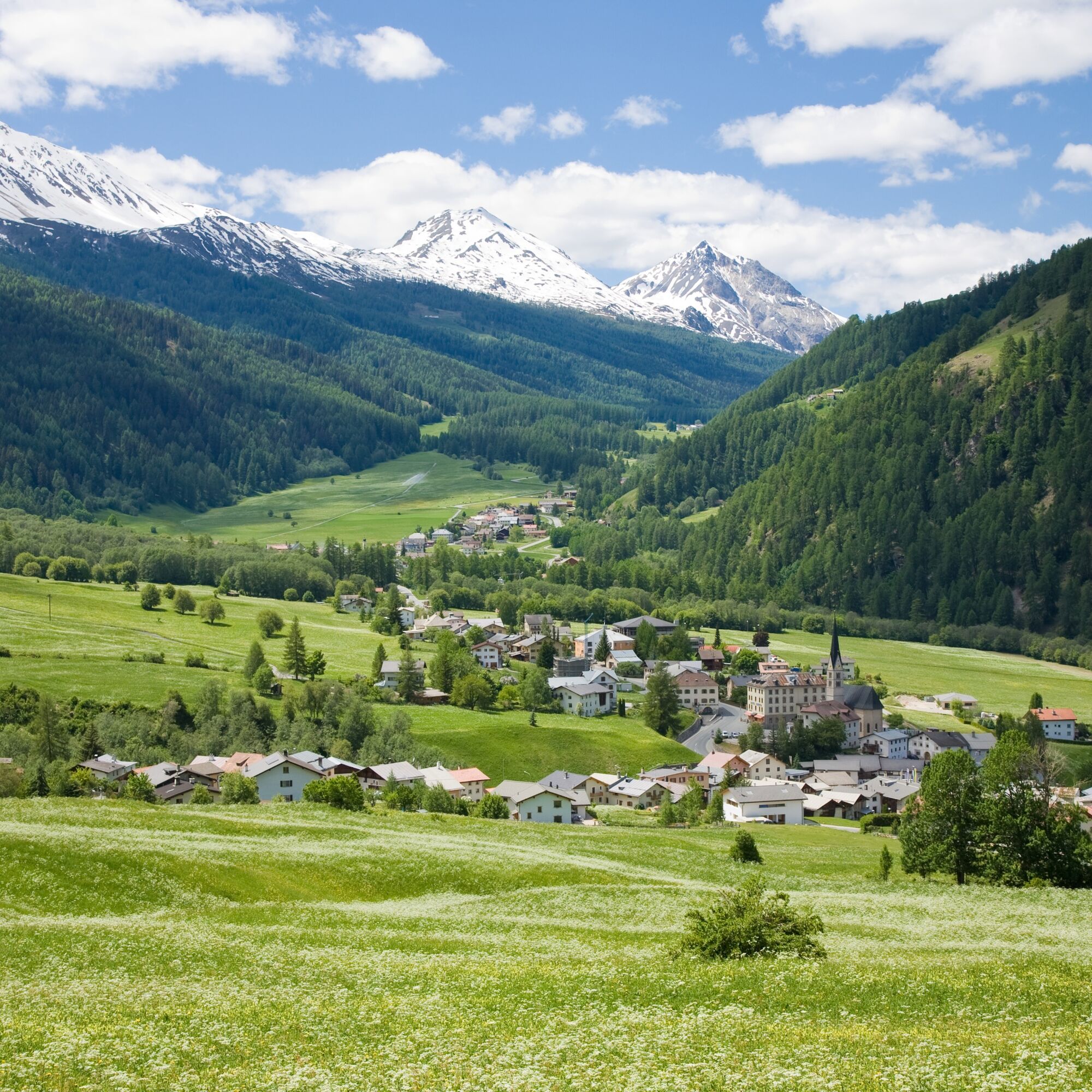
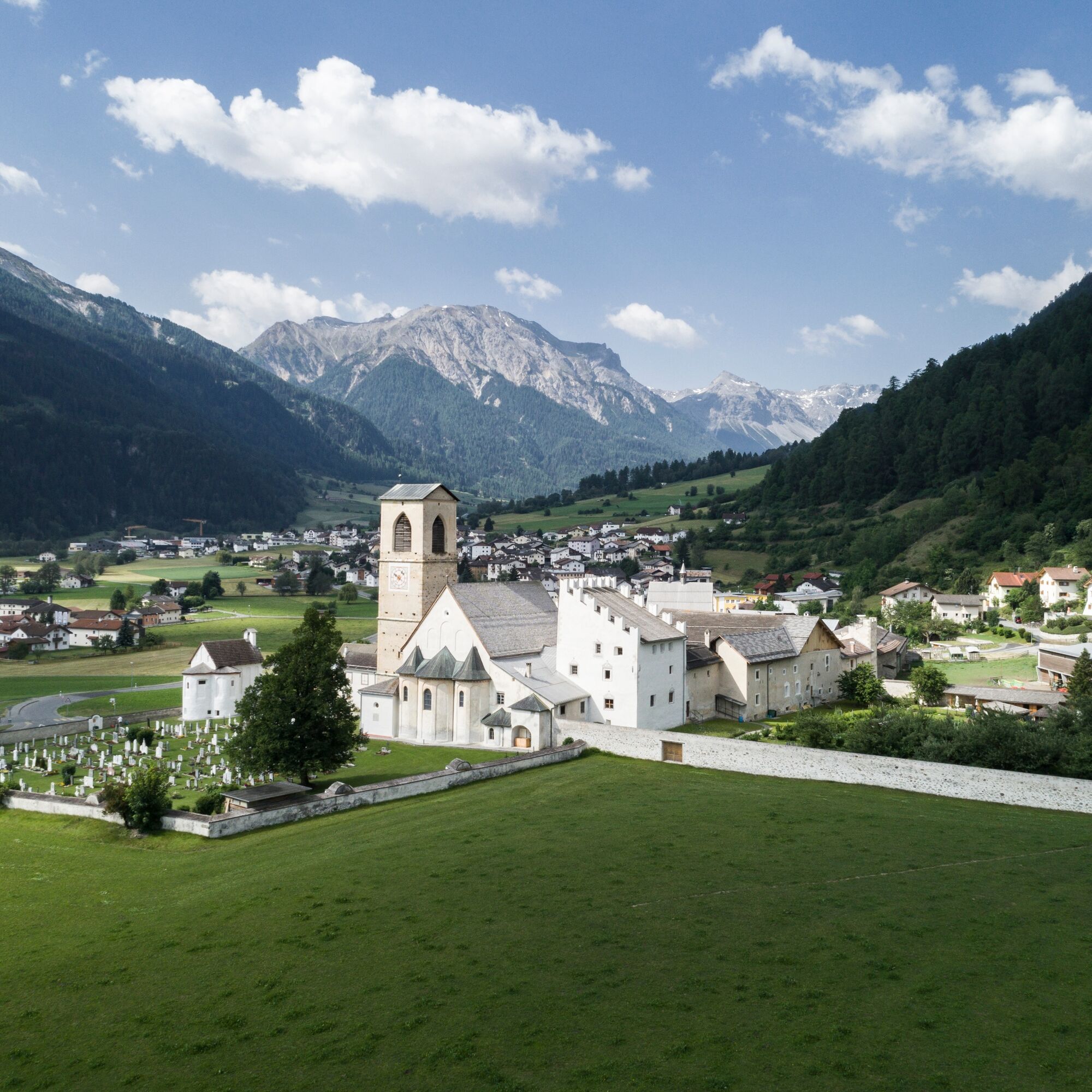
Opposite the postal bus stop Müstair posta, go up the street and follow the signpost to Sta. Maria. The street leads through the upper part of the village, passing beautiful houses, some decorated with sgraffitos. Follow the street, finally passing a horse farm. The path to Sta. Maria (also called Sonnenweg) runs mostly straight ahead, a farm road, which is also driven on by agricultural vehicles especially during mowing times. The path is also suitable for strollers, as mostly asphalted. In Sta. Maria, you pass the Plaun Schumpeder riding stables, where the street "Paclera" then rises towards the town center. Approximately halfway along Paclera street, a street branches off to the left. Follow this to the Center da sandà Val Müstair in Sielva. There the main road is crossed and after a slight ascent you can turn left into the street back to Müstair. This street is asphalted, sometimes also used (not a main road). After descending at the shooting range in Müstair, turn right onto the forest road and follow it to the wooden bridge, past the playground Plazöl. After crossing the bridge, follow the ascending street to Hotel Liun. To the left of Hotel Liun is the postal bus stop Müstair, Somvi, or to the right, follow the village street back to the starting point Müstair posta.

Opposite the postal bus stop Müstair posta, go up the street and follow the signpost to Sta. Maria. The street leads through the upper part of the village, passing beautiful houses, some decorated with sgraffitos. Follow the street, finally passing a horse farm. The path to Sta. Maria (also called Sonnenweg) runs mostly straight ahead, a farm road, which is also driven on by agricultural vehicles especially during mowing times. The path is also suitable for strollers, as mostly asphalted. In Sta. Maria, you pass the Plaun Schumpeder riding stables, where the street "Paclera" then rises towards the town center. Approximately halfway along Paclera street, a street branches off to the left. Follow this to the Center da sandà Val Müstair in Sielva. There the main road is crossed and after a slight ascent you can turn left into the street back to Müstair. This street is asphalted, sometimes also used (not a main road). After descending at the shooting range in Müstair, turn right onto the forest road and follow it to the wooden bridge, past the playground Plazöl. After crossing the bridge, follow the ascending street to Hotel Liun. To the left of Hotel Liun is the postal bus stop Müstair, Somvi, or to the right, follow the village street back to the starting point Müstair posta.
Tak
Tak
Tak
Coming from Zernez, over the Ofenpass and further through the Val Müstair to Müstair (last locality before the border to Italy).
Coming from Italy, the first locality after the border crossing.
The stop Müstair, posta is the second stop in Müstair when coming by postal bus from Zernez and the third stop when coming from Italy before continuing to Sta. Maria.
Parking available for the hike in the village.
Popularne wycieczki w okolicy
-
5,0
Mountain restaurant Plantaptasch (without Lift)
średniWędrówka 3,42 km -
3,7
Payerhütte 3020m
Wędrówka 6,98 km -
3,6
Easy hiking rout to the top of the Watles Moutain (2.550 m)
średniWędrówka 2,35 km -
4,3
Sonnenaufgang auf der Rötelspitze im Nationalpark Stilfserjoch
Wędrówka 2,02 km -
4,5
Rundwanderweg Wattles und Sesvenna
światłoWędrówka 16,4 km -
Wanderung/Aufstieg zur Payerhütte
światłoWędrówka 15,9 km -
3,4
Sta.Maria, Prà da Vau - Lai da Rims - Alp Sot - Prà da Vau
ciężkiWędrówka 14,7 km -
3,0
Wanderung zum Hinteren Schöneck
światłoWędrówka 13,2 km -
1,0
Tabarettahütte 2555m zur Payerhütte 3020m
Wędrówka 3,82 km -
4,0
Ortler – Normalweg
ciężkiWycieczka wysokogórska 7,30 km
Wędrówki i tropienie


Nie przegap ofert i inspiracji na następne wakacje
Twój adres e-mail została dodana do listy mailingowej.