






Cultural hike Maladers - Chur
The view of Chur and its mountain world from the plane may be more spectacular. But those who prefer to stay on the ground and love the scent of forest and meadows can also experience the magnificent view...
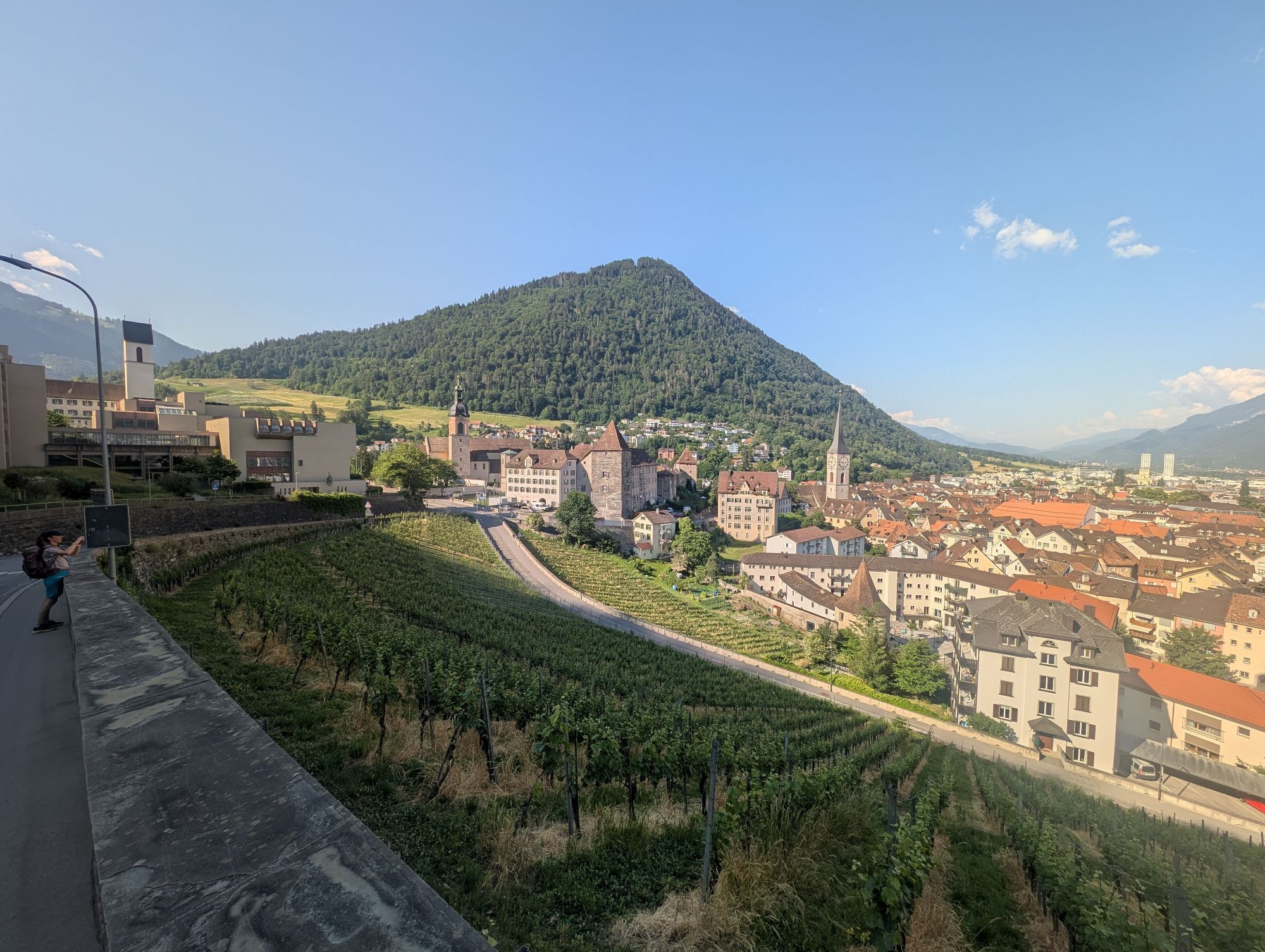
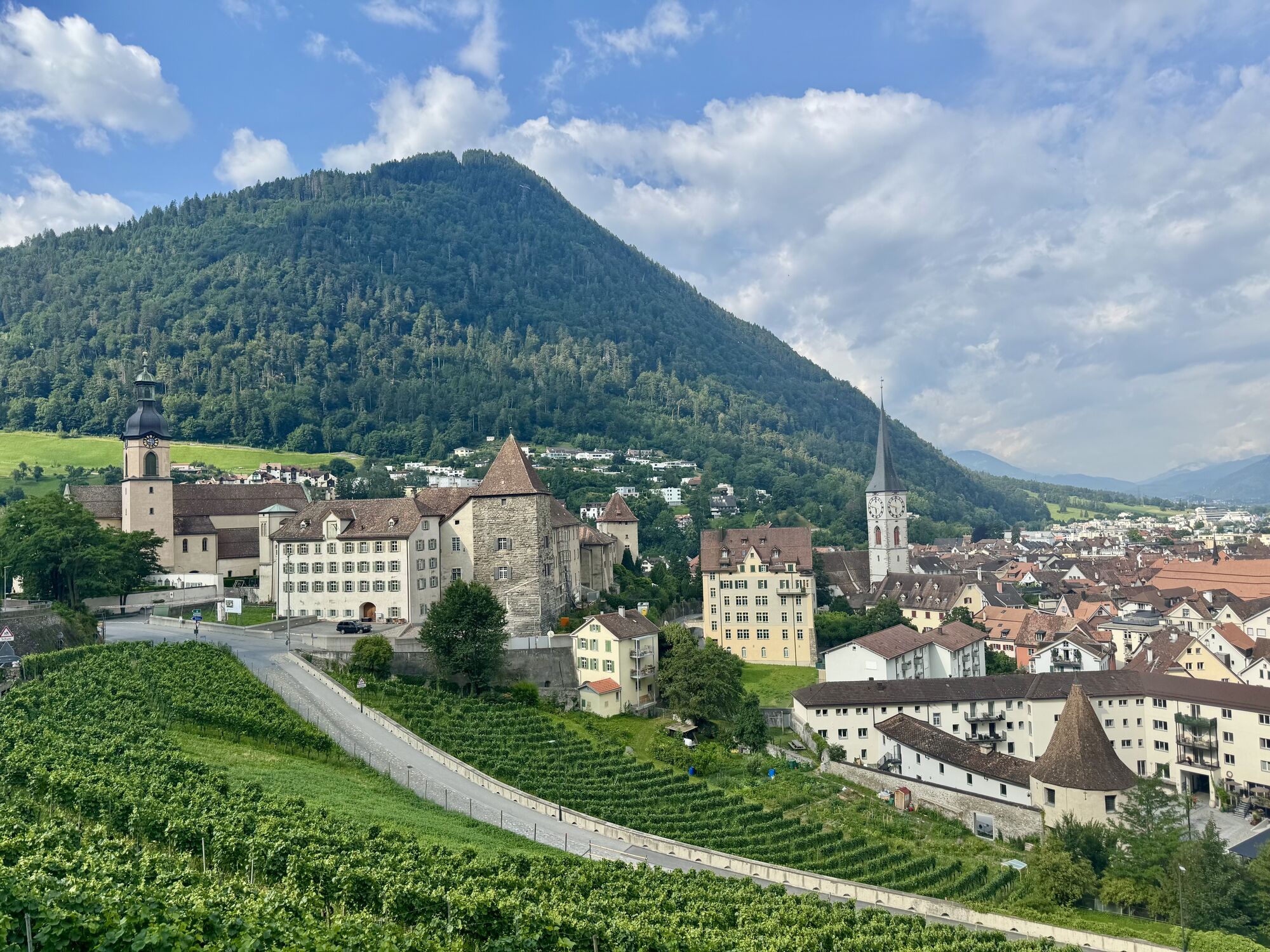
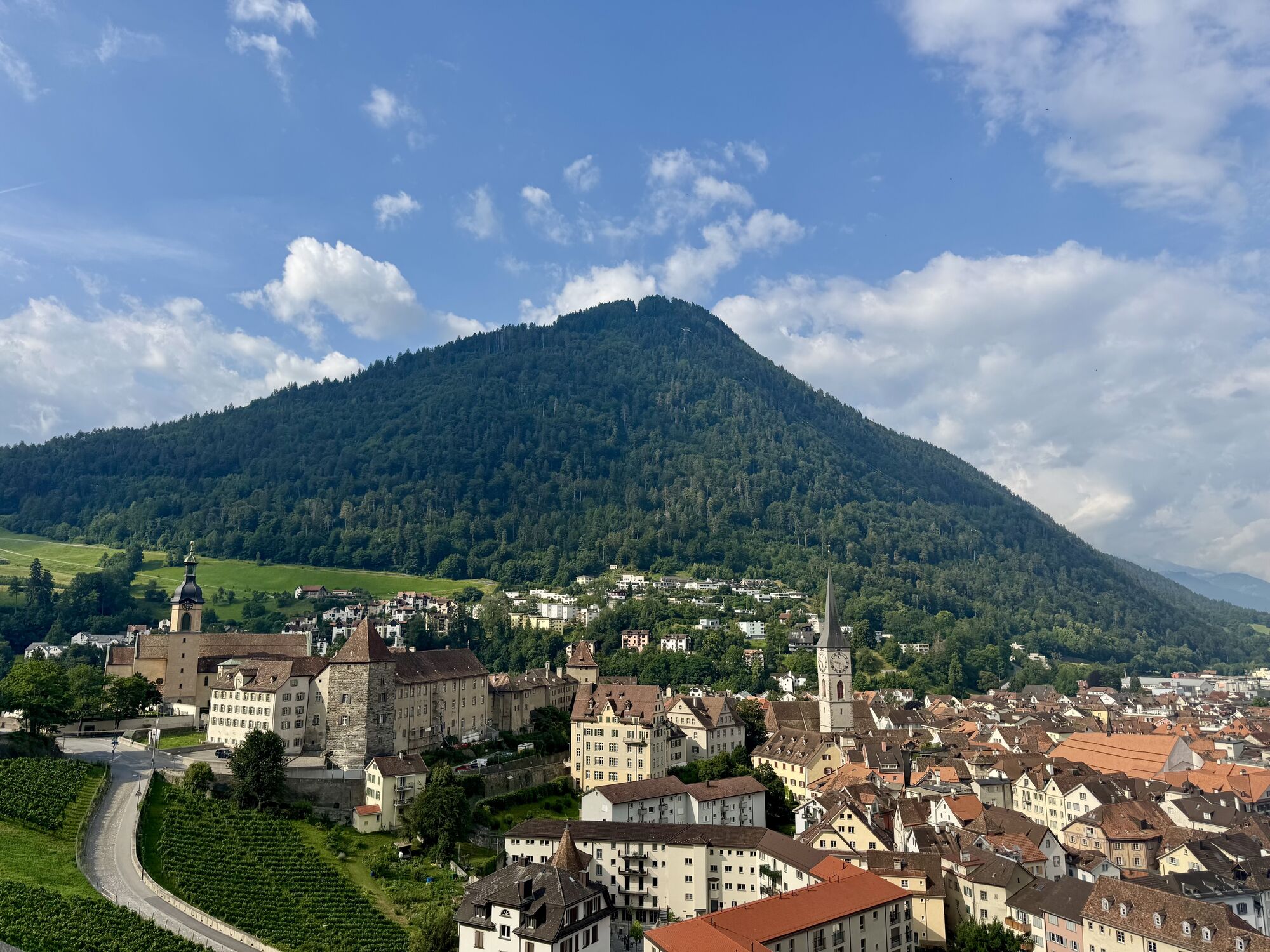
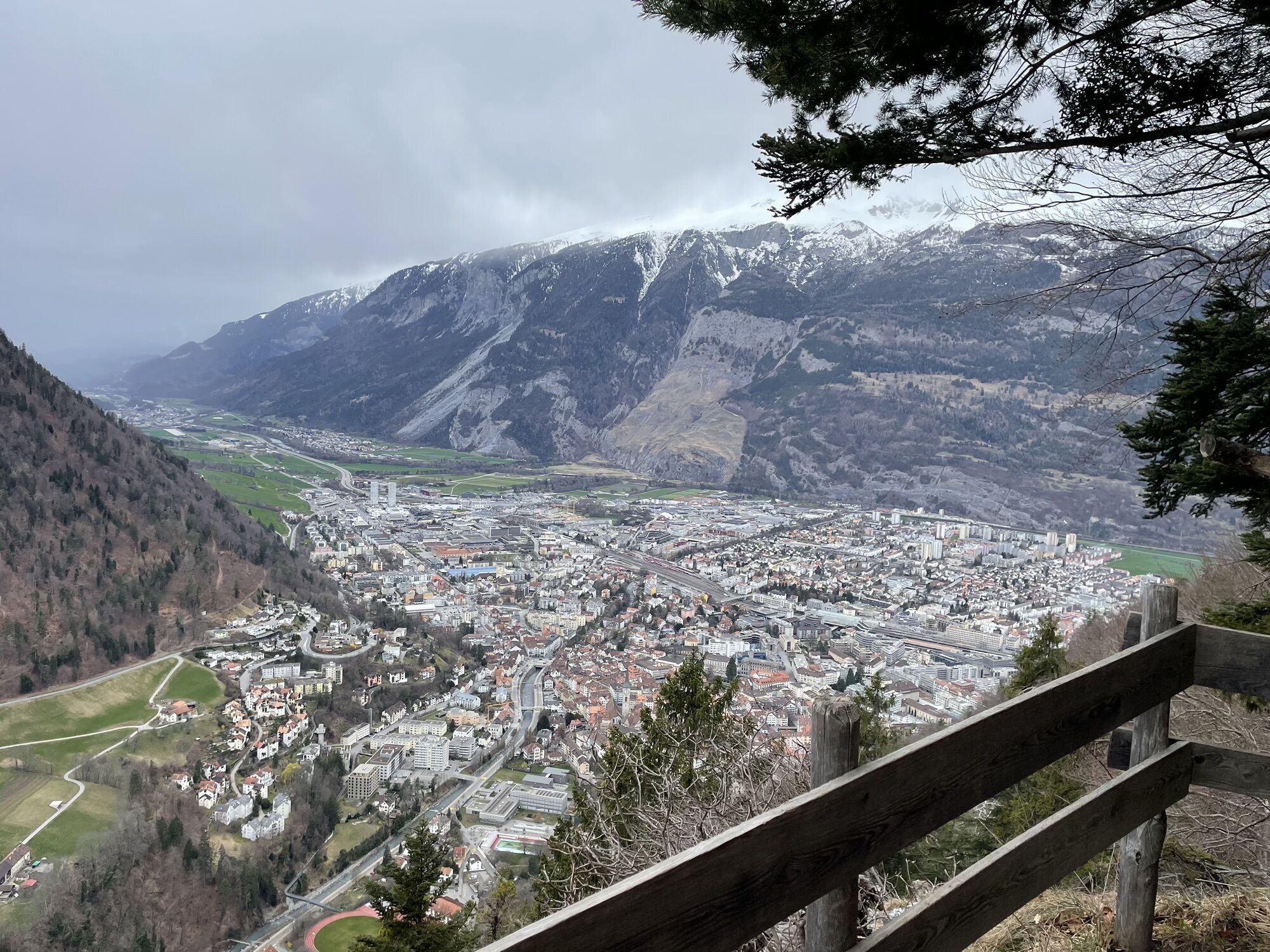
The view of Chur and its mountain world from the plane may be more spectacular. But those who prefer to stay on the ground and love the scent of forest and meadows can also experience the magnificent view on a hike from Maladers to Chur. In just under two hours, a beautiful footpath leads from the sunny location of Maladers through the forest towards the Chur Mittenberg and over the St. Luzi Chapel to the Haldenhüttli, a charming wooden pavilion from the 19th century overlooking the city. From here you have a clear view of the city once again.
Convenient arrival, enjoyable hiking
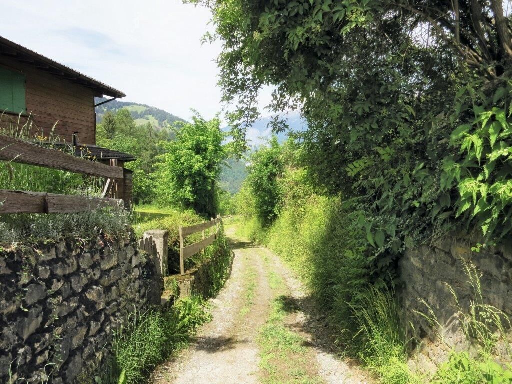
The easy hike from Maladers (1000 m) to Chur (600 m) is suitable for everyone. The journey is made by post bus from Chur station. After only 15 minutes, we arrive at the starting point in the middle of the village. Maladers is now a commuter village for people working in Chur. The sunny location with its wooden houses has largely retained its charm. A visit to the small reformed village church in the upper part of the village is worthwhile. Those with a flair for history should know that there was a bishop's court in Maladers in medieval times and that below the village, where gravel is now extracted, a settlement from prehistoric times was discovered.
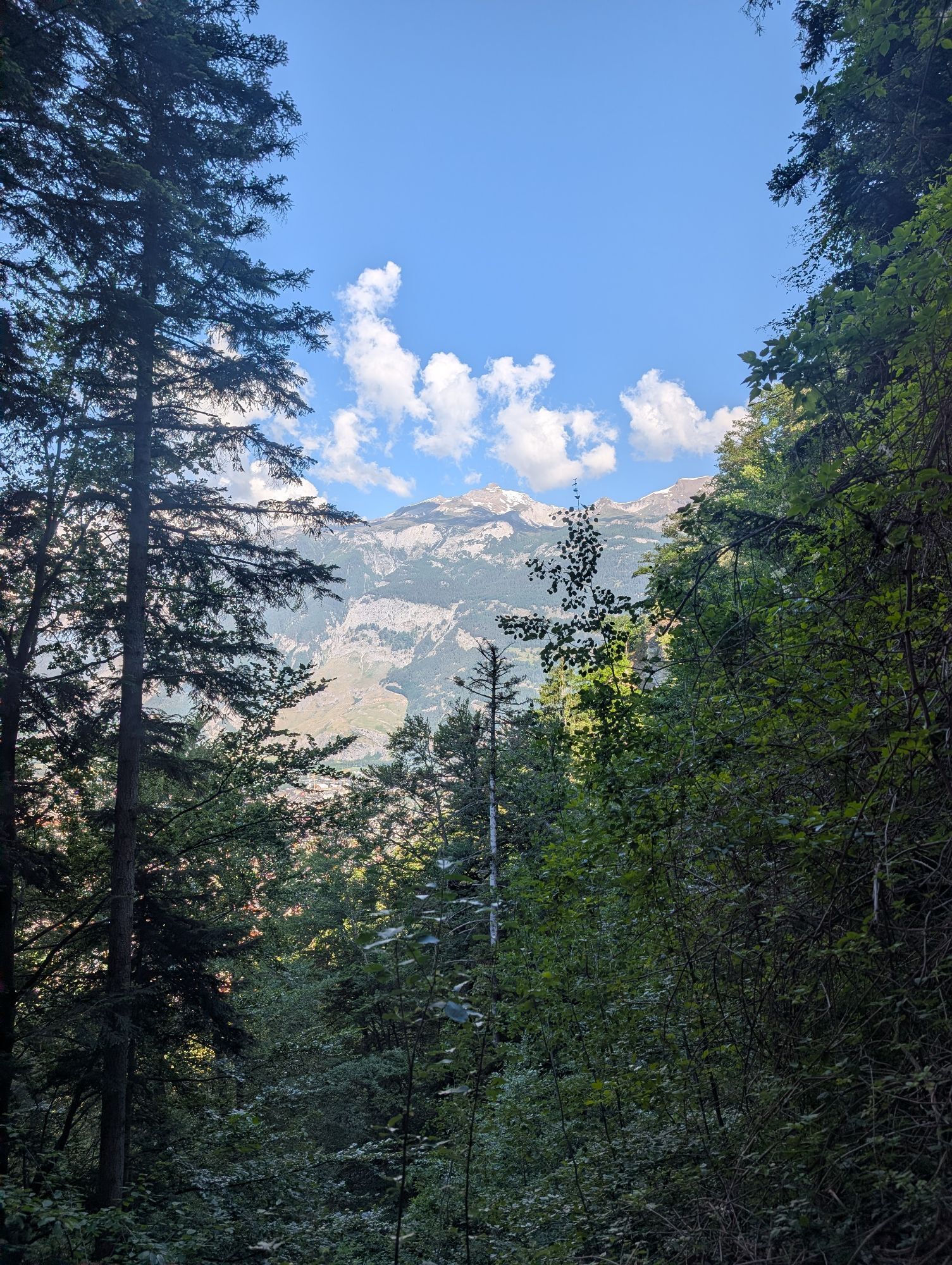
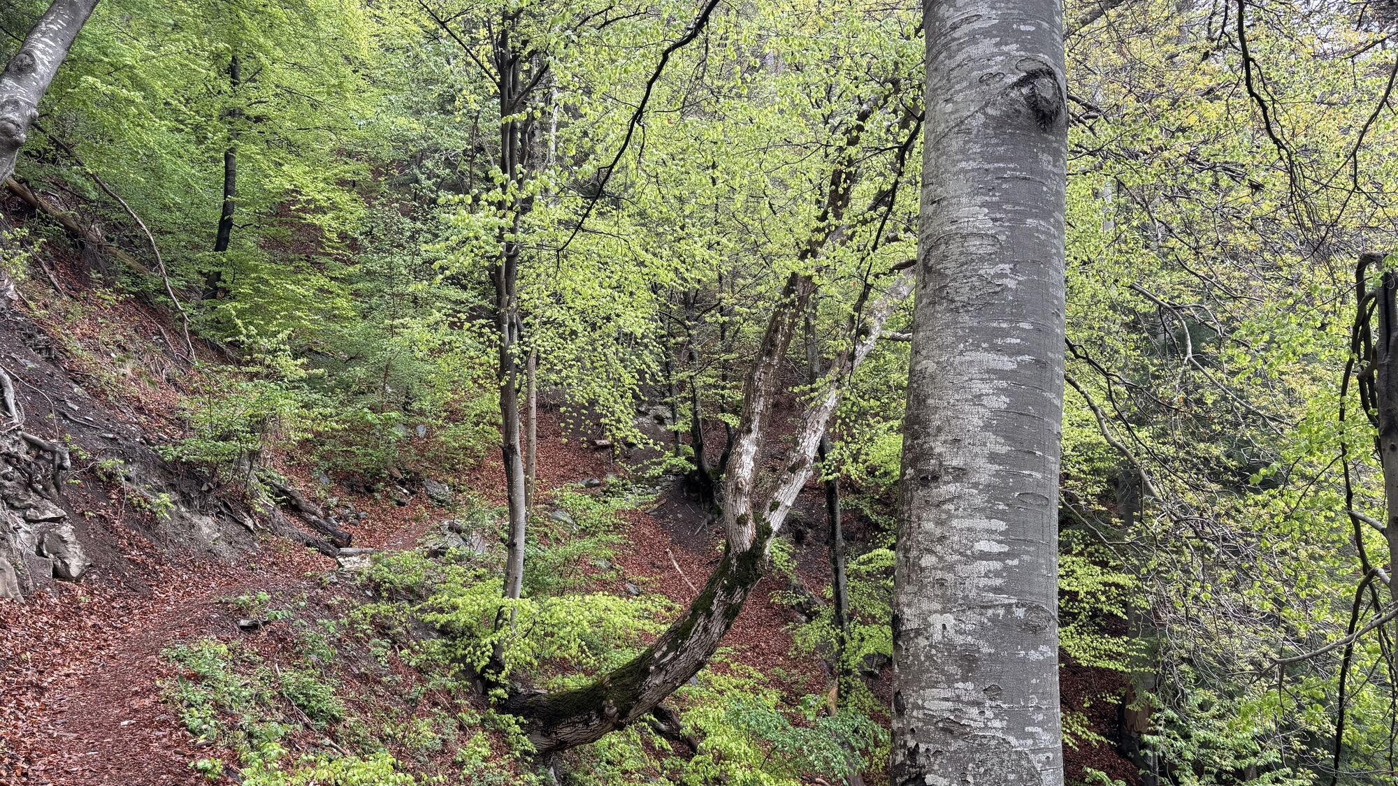
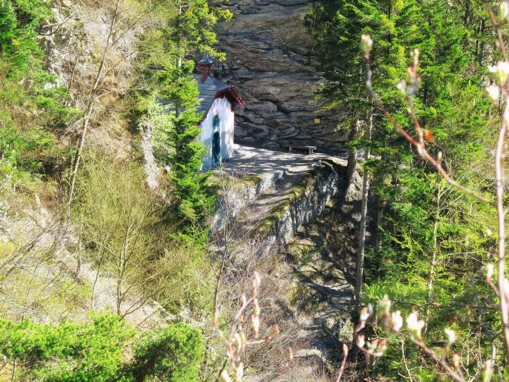
But back to the present. From the starting point, we briefly follow the path towards Oberdorf. At the first cross street, we turn left and follow the signpost to Chur. Anyone who wants to refuel for the hike or feels like a small homemade souvenir can first stock up at Sina's farm shop. Perhaps with a walnut pesto! It is located directly on the path. The well-signposted hiking trail to Chur leads past the beautifully located cemetery and shortly thereafter branches off to Mittenberg/Kleinwaldegg. On the first small bench, we once again enjoy the panoramic view into the Schanfigg and the Churwaldner valley before the varied forest path takes us up. No child could help but jump joyfully! Then the incomparable view at the viewpoint. Shortly afterward the paths split: the upper one leads to Mittenberg, the lower one to Chur. We choose the lower path. After half a kilometer, our inconspicuous path branches off to the left of the main path; we now descend through beech and oak forest to the St. Luzi Chapel. The small chapel lies under a rock overhang and is dedicated to the early Christian missionary and saint Luzius of Chur. Now it's not far until we reach the Haldenhüttli through the bright forest over the vineyards of Chur. Caution is advised on the short section of the Aroserstrasse to the bishop's court; the sidewalk is quite narrow. Finally, we enjoy a cool drink in the bishop's court winery, the venerable Gothic tavern near the cathedral, or in one of the restaurants in the old town. Maladers and the quiet forest lie behind us; the city with its long history welcomes us back.
Author: Hansjürg Gredig, ZHAW Life Sciences and Facility Management

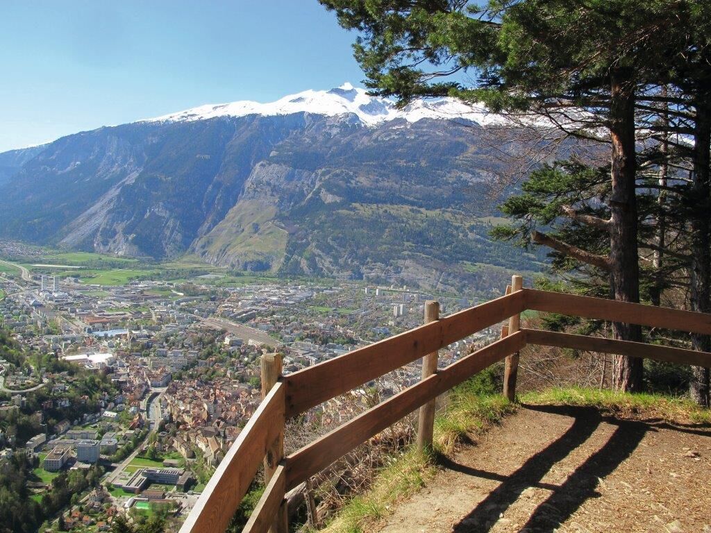

The view of Chur and its mountain world from the plane may be more spectacular. But those who prefer to stay on the ground and love the scent of forest and meadows can also experience the magnificent view on a hike from Maladers to Chur. In just under two hours, a beautiful footpath leads from the sunny location of Maladers through the forest towards the Chur Mittenberg and over the St. Luzi Chapel to the Haldenhüttli, a charming wooden pavilion from the 19th century overlooking the city. From here you have a clear view of the city once again.
Convenient arrival, enjoyable hiking
The easy hike from Maladers (1000 m) to Chur (600 m) is suitable for everyone. The journey is made by post bus from Chur station. After only 15 minutes, we arrive at the starting point in the middle of the village. Maladers is now a commuter village for people working in Chur. The sunny location with its wooden houses has largely retained its charm. A visit to the small reformed village church in the upper part of the village is worthwhile. Those with a flair for history should know that there was a bishop's court in Maladers in medieval times and that below the village, where gravel is now extracted, a settlement from prehistoric times was discovered.
But back to the present. From the starting point, we briefly follow the path towards Oberdorf. At the first cross street, we turn left and follow the signpost to Chur. Anyone who wants to refuel for the hike or feels like a small homemade souvenir can first stock up at Sina's farm shop. Perhaps with a walnut pesto! It is located directly on the path. The well-signposted hiking trail to Chur leads past the beautifully located cemetery and shortly thereafter branches off to Mittenberg/Kleinwaldegg. On the first small bench, we once again enjoy the panoramic view into the Schanfigg and the Churwaldner valley before the varied forest path takes us up. No child could help but jump joyfully! Then the incomparable view at the viewpoint. Shortly afterward the paths split: the upper one leads to Mittenberg, the lower one to Chur. We choose the lower path. After half a kilometer, our inconspicuous path branches off to the left of the main path; we now descend through beech and oak forest to the St. Luzi Chapel. The small chapel lies under a rock overhang and is dedicated to the early Christian missionary and saint Luzius of Chur. Now it's not far until we reach the Haldenhüttli through the bright forest over the vineyards of Chur. Caution is advised on the short section of the Aroserstrasse to the bishop's court; the sidewalk is quite narrow. Finally, we enjoy a cool drink in the bishop's court winery, the venerable Gothic tavern near the cathedral, or in one of the restaurants in the old town. Maladers and the quiet forest lie behind us; the city with its long history welcomes us back.
Author: Hansjürg Gredig, ZHAW Life Sciences and Facility Management
Tak
Sturdy footwear, rain jacket
The journey is made by post bus from Chur station. After only 15 minutes, we arrive at the starting point in the middle of the village.
Sina's farm shop for a souvenir
Author: Hansjürg Gredig, ZHAW Life Sciences and Facility Management
 Uzyskaj wgląd
Zawsze na żywo z ponad 9 500 kamer internetowych. bergfex Jako użytkownik Pro, możesz teraz zobaczyć odpowiednie kamery internetowe dla wielu wycieczek w aplikacji wycieczki od. Pozwala to na bezpośredni podgląd aktualnych warunków.
Uzyskaj wgląd
Zawsze na żywo z ponad 9 500 kamer internetowych. bergfex Jako użytkownik Pro, możesz teraz zobaczyć odpowiednie kamery internetowe dla wielu wycieczek w aplikacji wycieczki od. Pozwala to na bezpośredni podgląd aktualnych warunków.
Popularne wycieczki w okolicy
-
4,6
Pizalun circular route
światłoWędrówka 7,18 km -
4,7
Mountain hike to the Strudeltöpfe on Alp Mora: Bargis-Trin
ciężkiWędrówka 18 km -
Arosa-Schwellisee-Älplisee-Parpaner Rothorn
Wędrówka 12,3 km -
4,5
Drachenloch
ciężkiWędrówka 9,72 km -
4,7
Arosa-Hörnli-Parpaner Rothorn-Lenzerheide
Wędrówka 11,9 km -
5,0
Arosa-Hörnli-Urdenfürrgli-Alp Scharmoin-Lenzerheide
średniWędrówka 15,3 km -
5,0
Eichhörnliweg Arosa
światłoTrasa tematyczna 1,72 km -
3,0
From Vättis to the Walser settlement St. Martin
średniWędrówka 8,03 km -
5,0
Spig - Pizalun
średniWędrówka 12,0 km -
5,0
Arosa-Erzhornsattel-Arosa
Wędrówka 14,9 km
Wędrówki i tropienie


Nie przegap ofert i inspiracji na następne wakacje
Twój adres e-mail została dodana do listy mailingowej.





