


Three days trail: panorama trailrun from Davos, Klosters into Prättigau (stage 3: St. Antönien - Fanas)
Zdjęcia naszych użytkowników
-
 © Ludo KoendersUtworzono dnia 23.07.2024
 -
 © Ludo KoendersUtworzono dnia 23.07.2024
 -
 © Ludo KoendersUtworzono dnia 23.07.2024
 -
 © Ludo KoendersUtworzono dnia 23.07.2024
 -
 © alinraduUtworzono dnia 10.08.2025
 -
 © alinraduUtworzono dnia 10.08.2025
 -
 © alinraduUtworzono dnia 10.08.2025
 -
 © alinraduUtworzono dnia 10.08.2025
 -
 © alinraduUtworzono dnia 10.08.2025
 -
 © alinraduUtworzono dnia 10.08.2025
 -
 © alinraduUtworzono dnia 10.08.2025
 -
 © alinraduUtworzono dnia 10.08.2025
 -
 © alinraduUtworzono dnia 10.08.2025
 -
 © alinraduUtworzono dnia 10.08.2025
 -
 © alinraduUtworzono dnia 10.08.2025
 -
 © WernerUtworzono dnia 20.06.2025
 -

 © DidiUtworzono dnia 01.03.2025


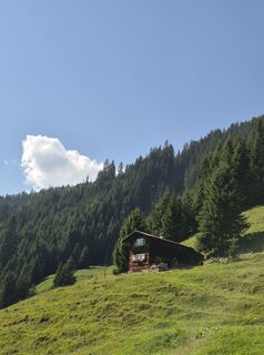
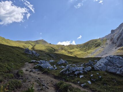
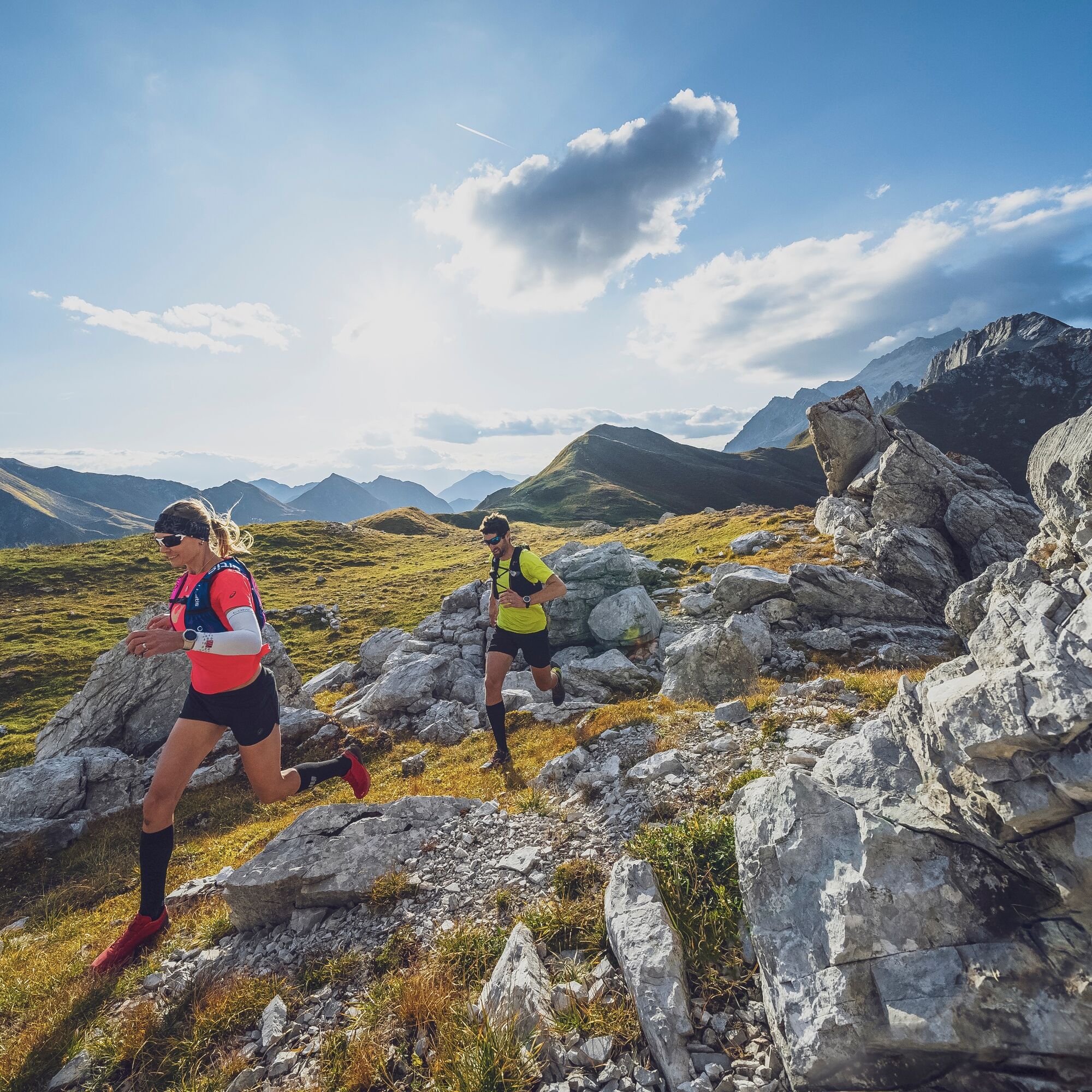
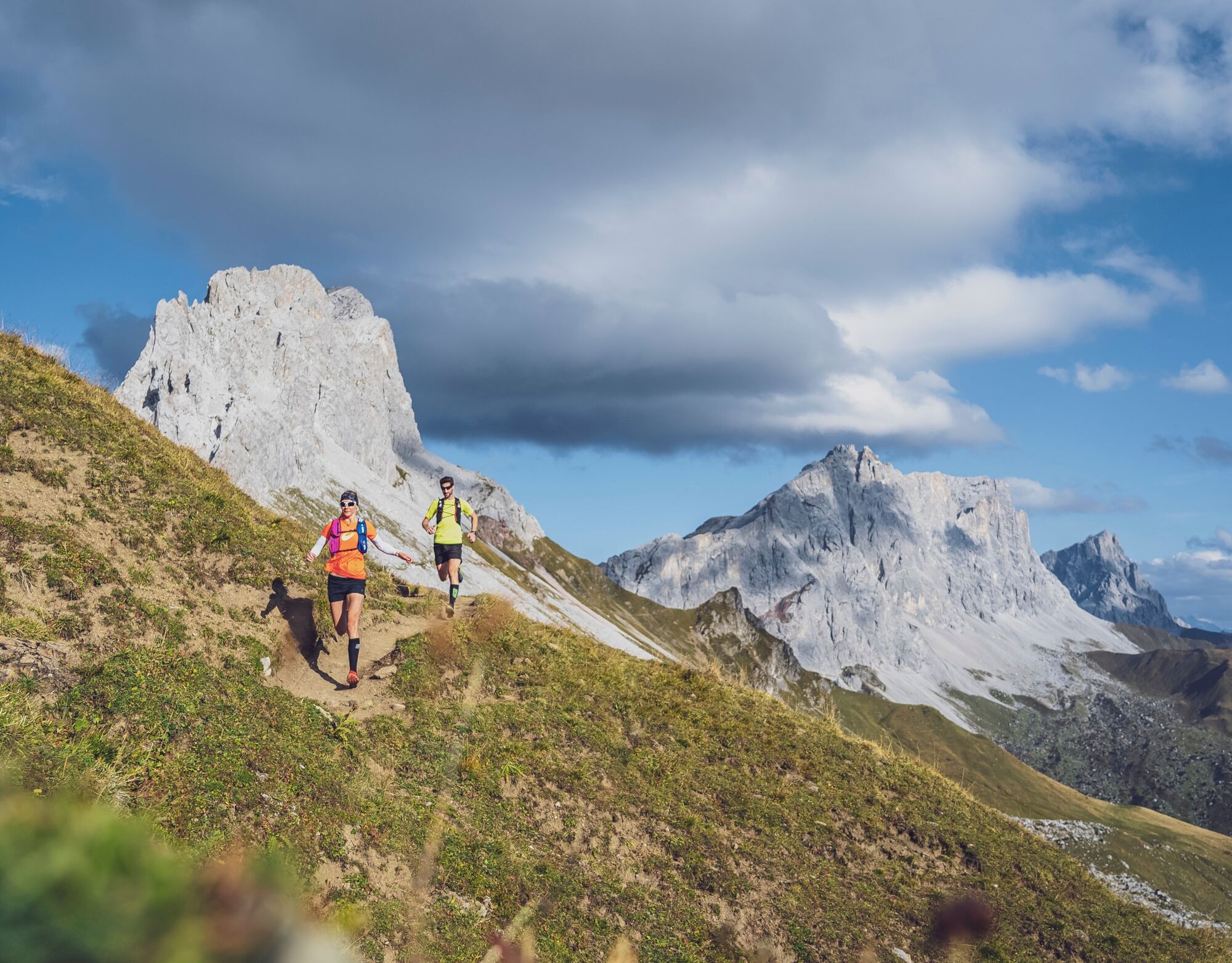
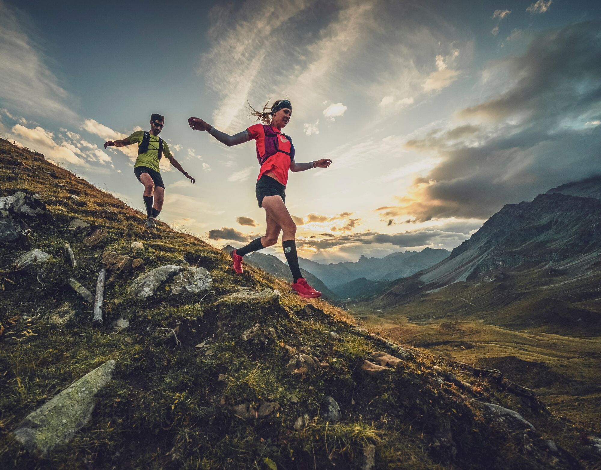
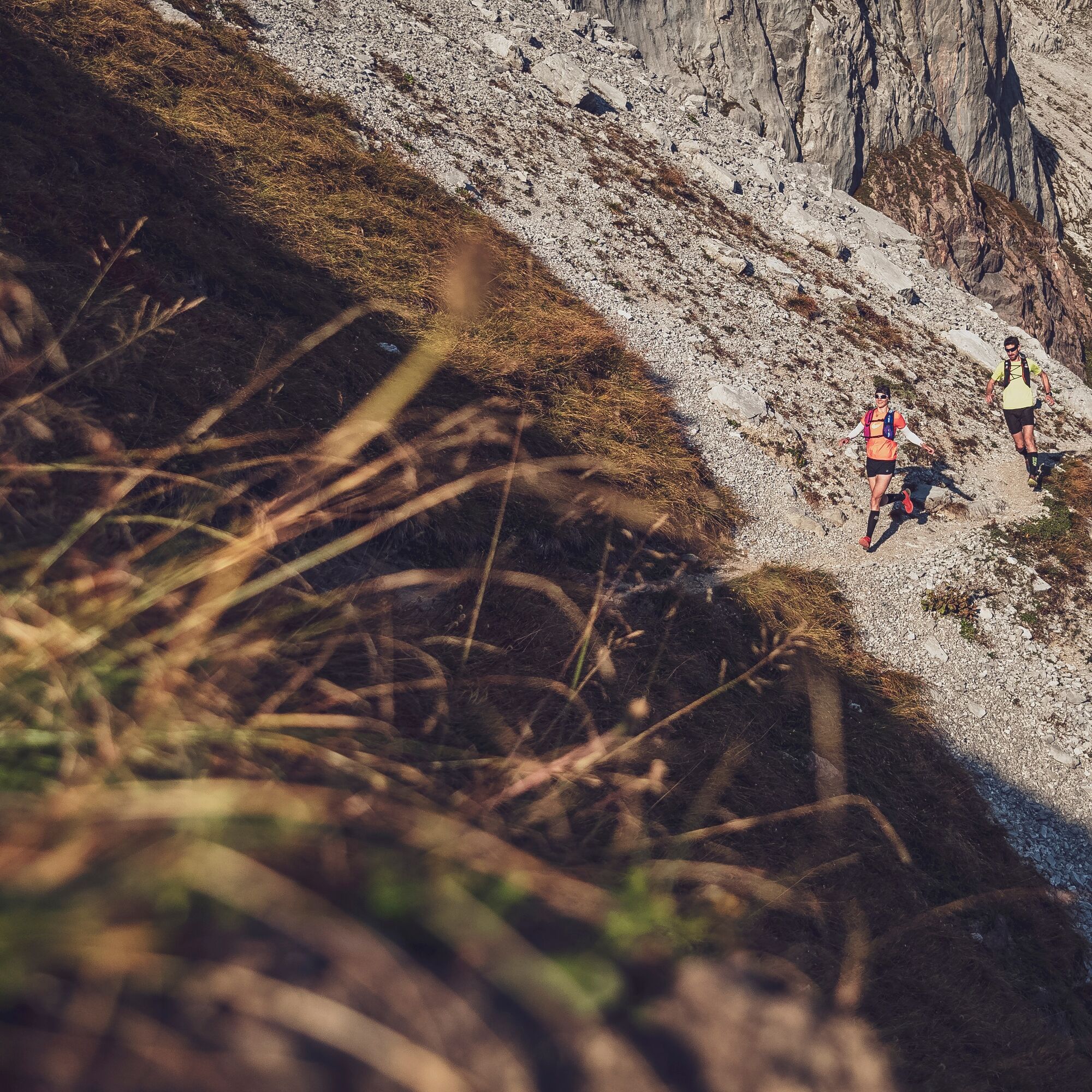
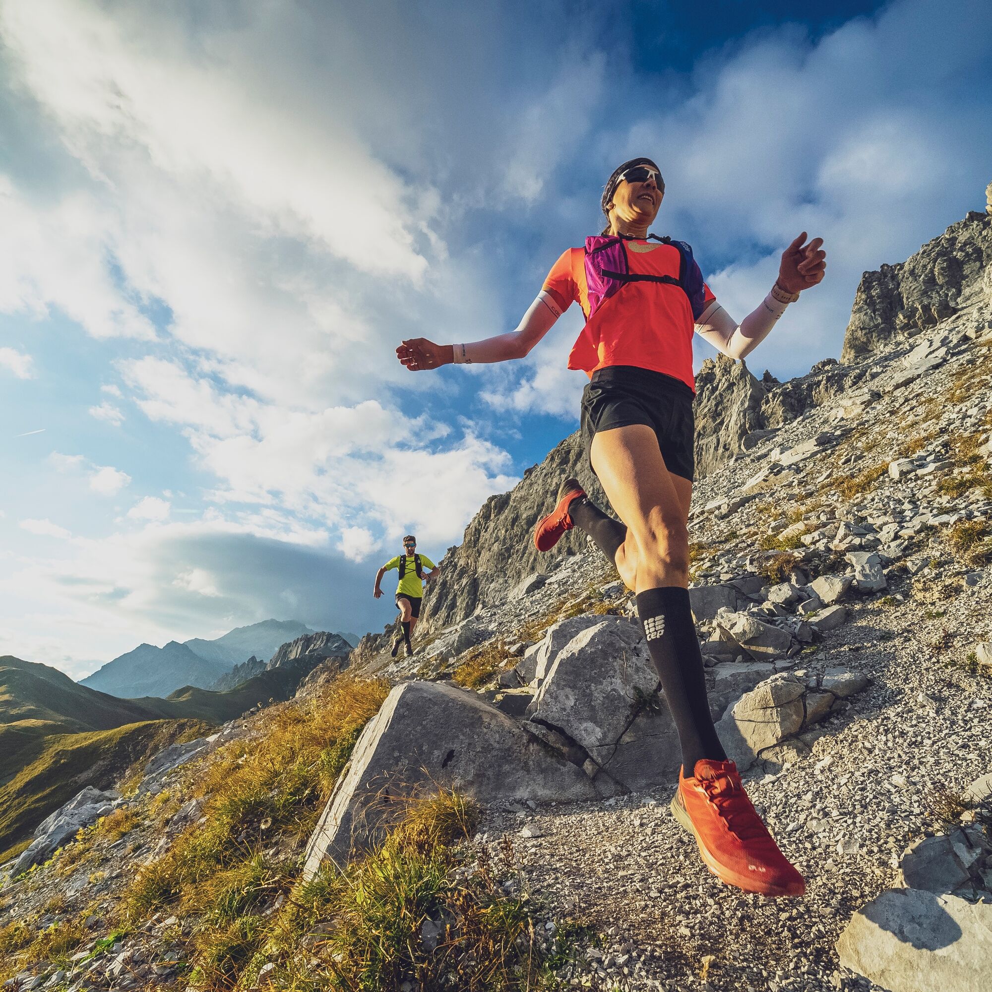
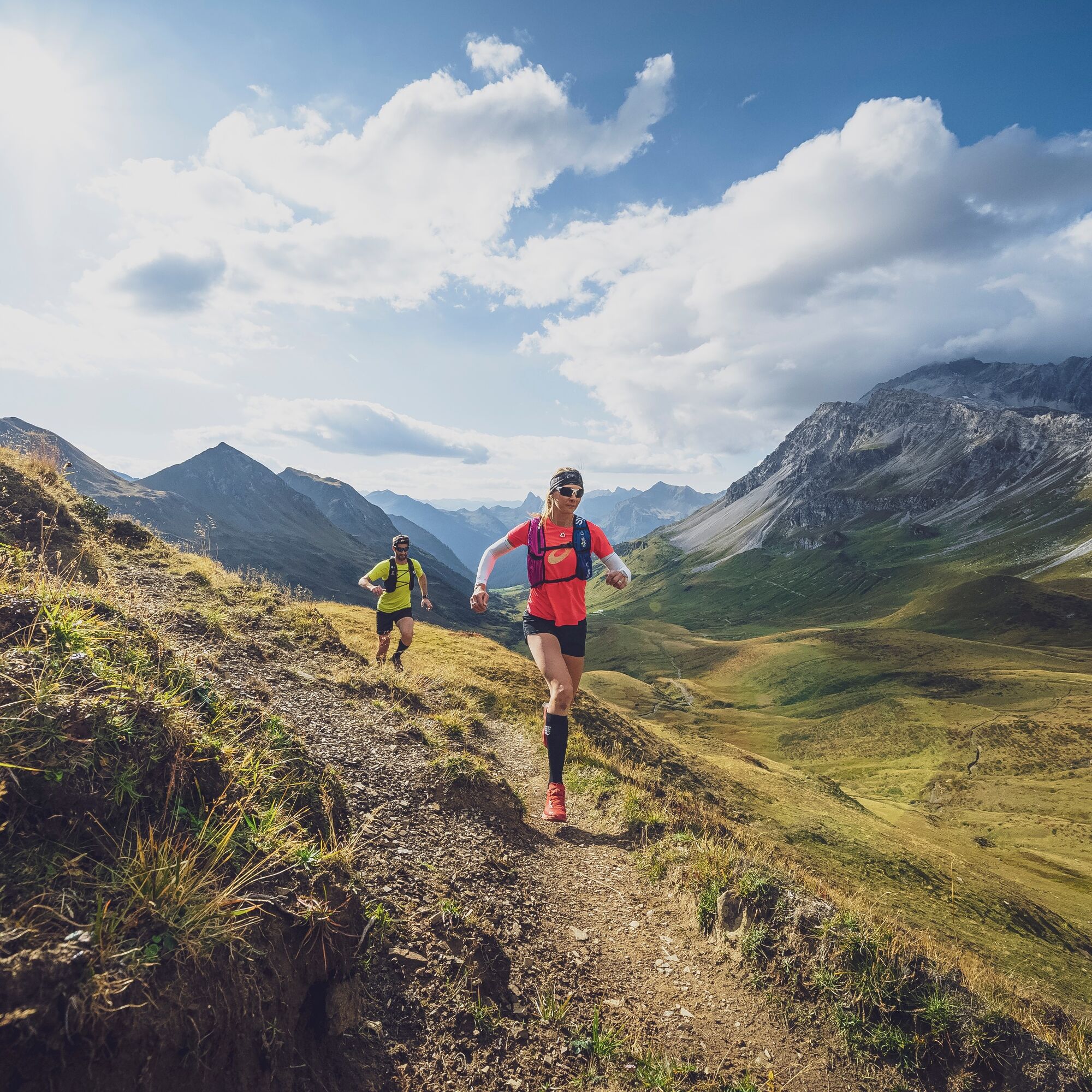
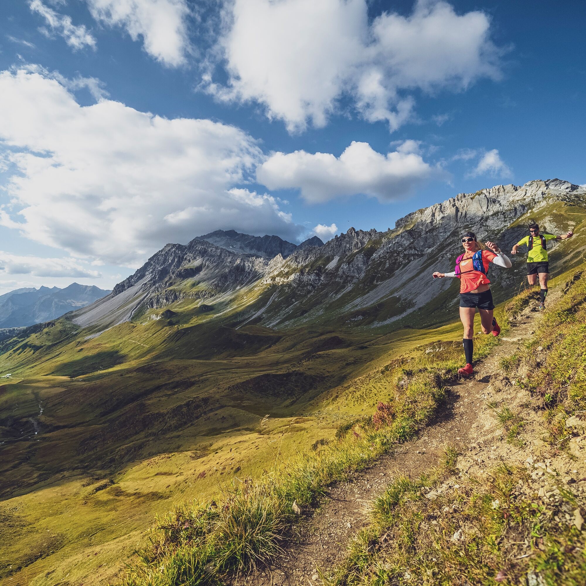
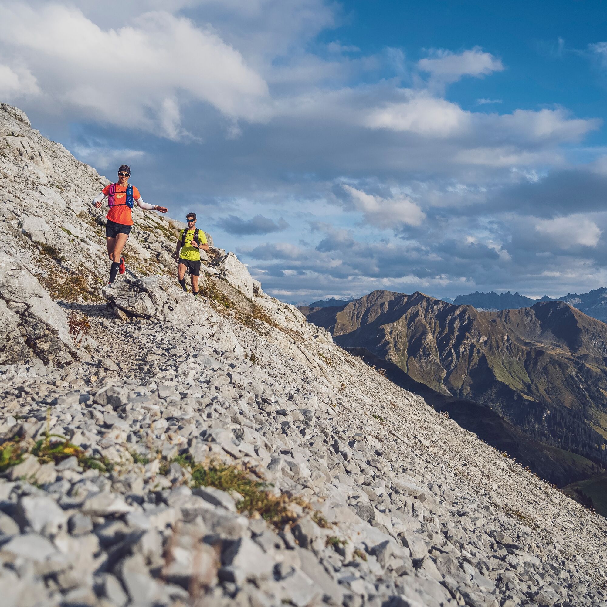
In St. Antönien, the first 600 meters of altitude start on a small road, then on an increasingly narrower alpine path. During the high summer season, these first altitude meters to the Bärgli can be comfortably...
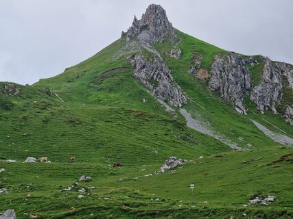
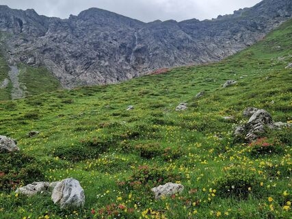
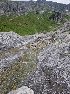
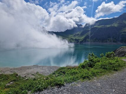
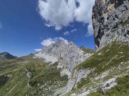
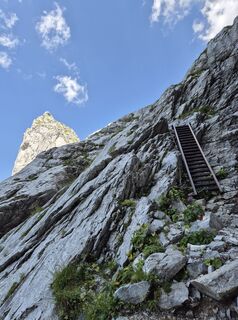
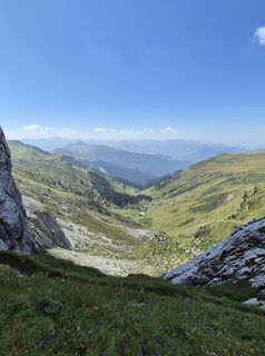
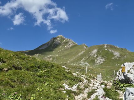
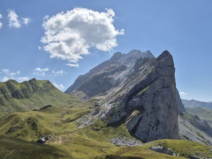
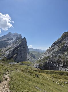
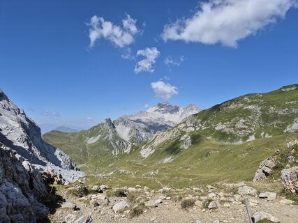
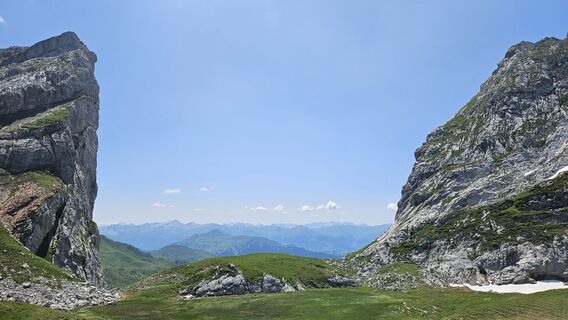
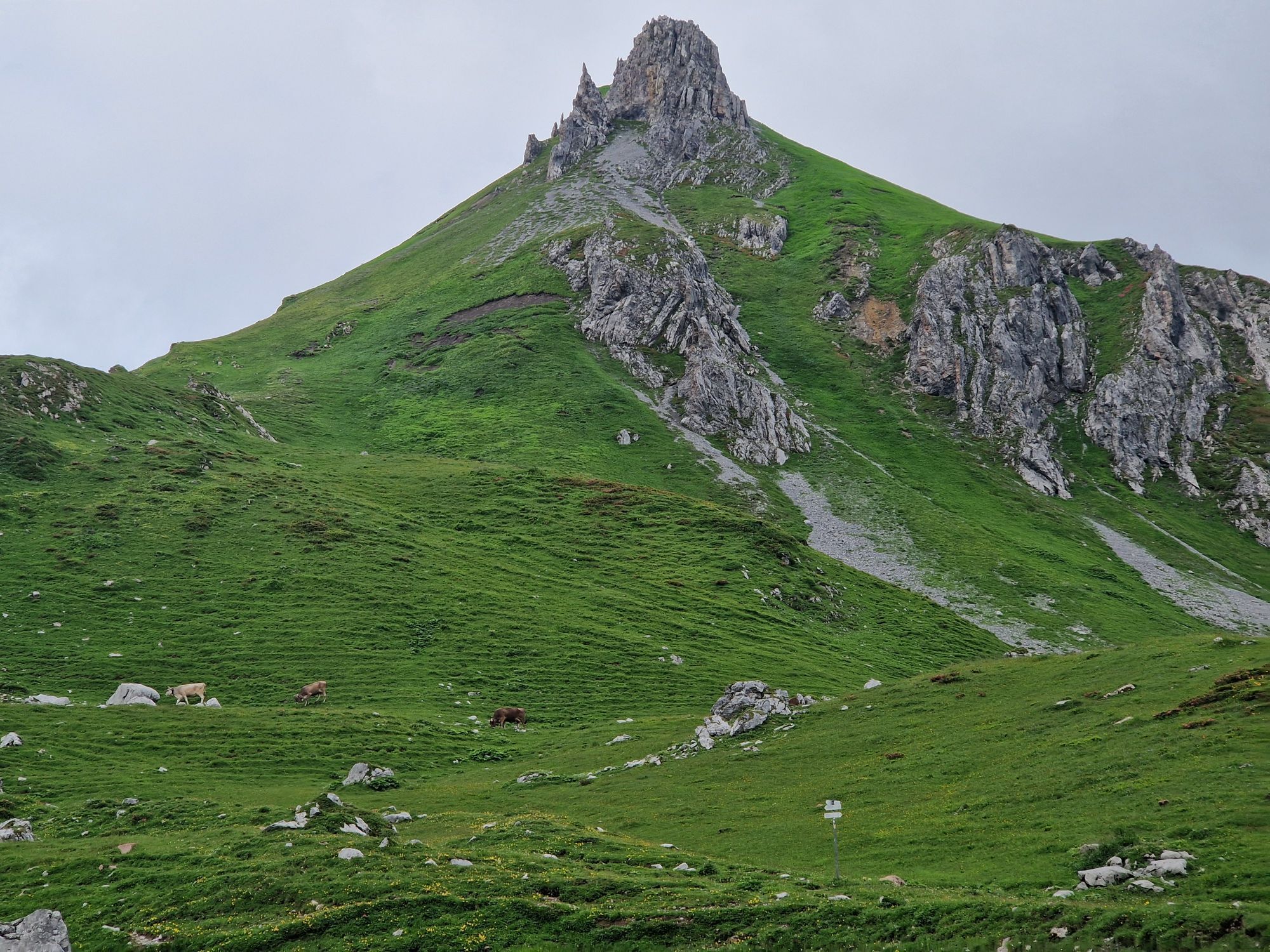
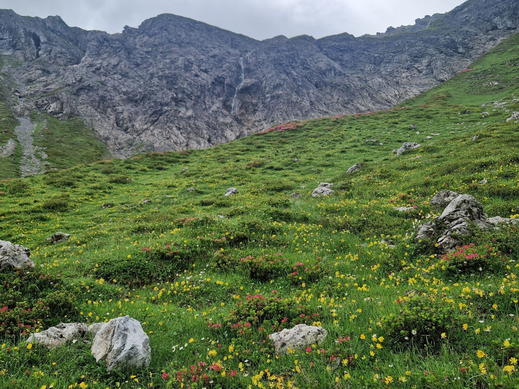
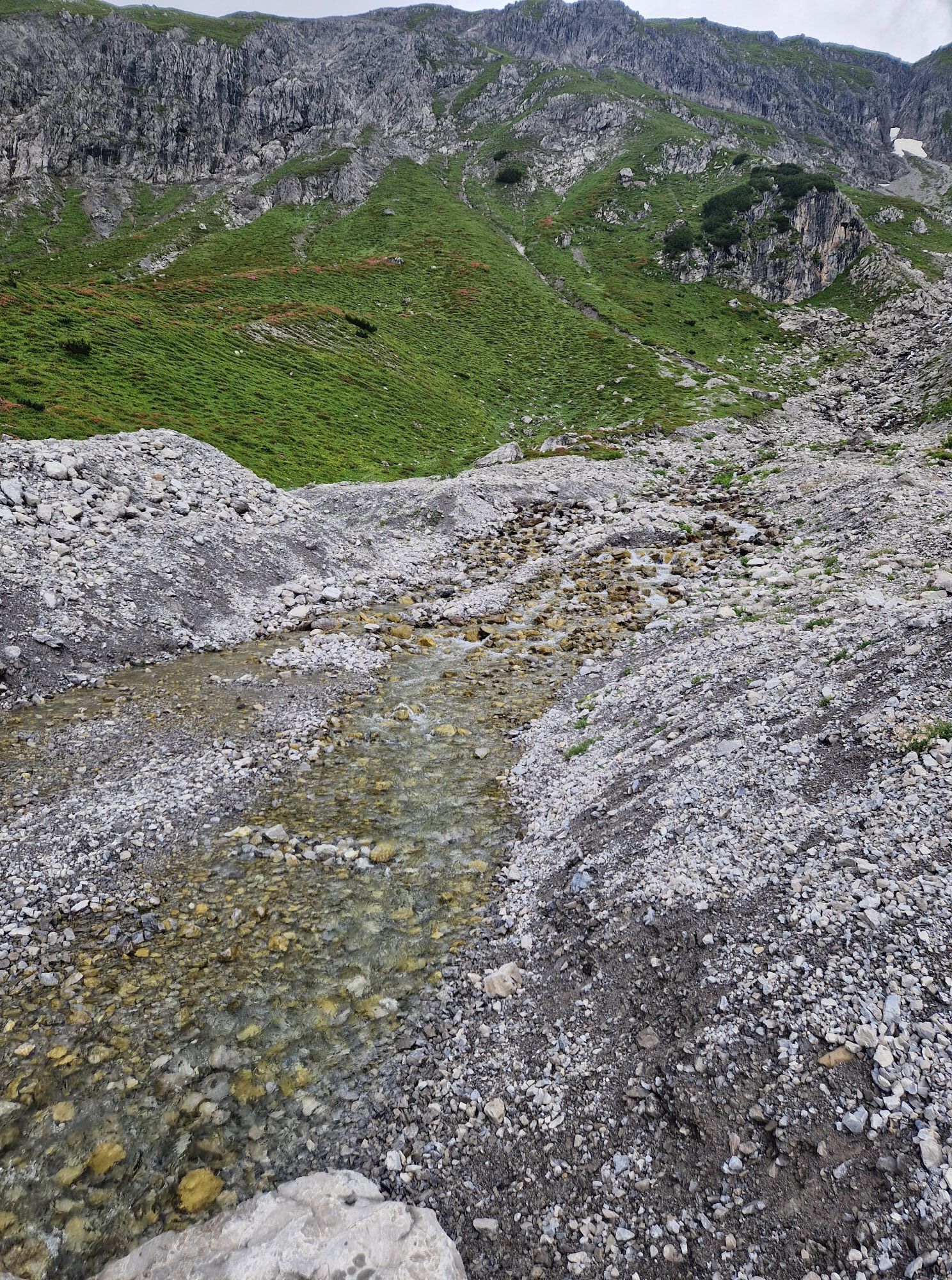
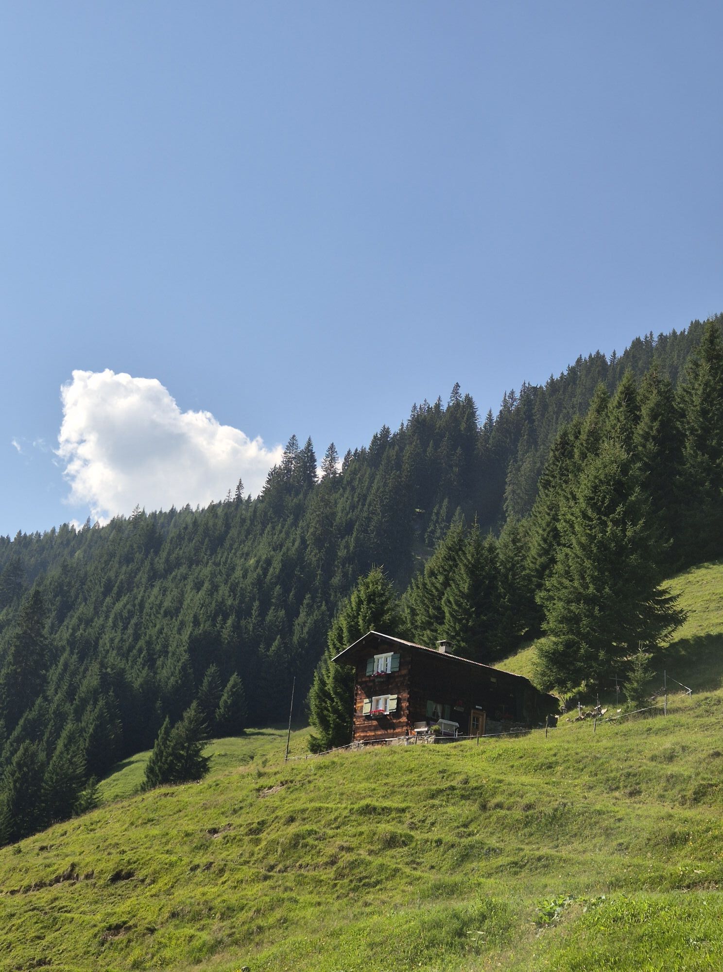
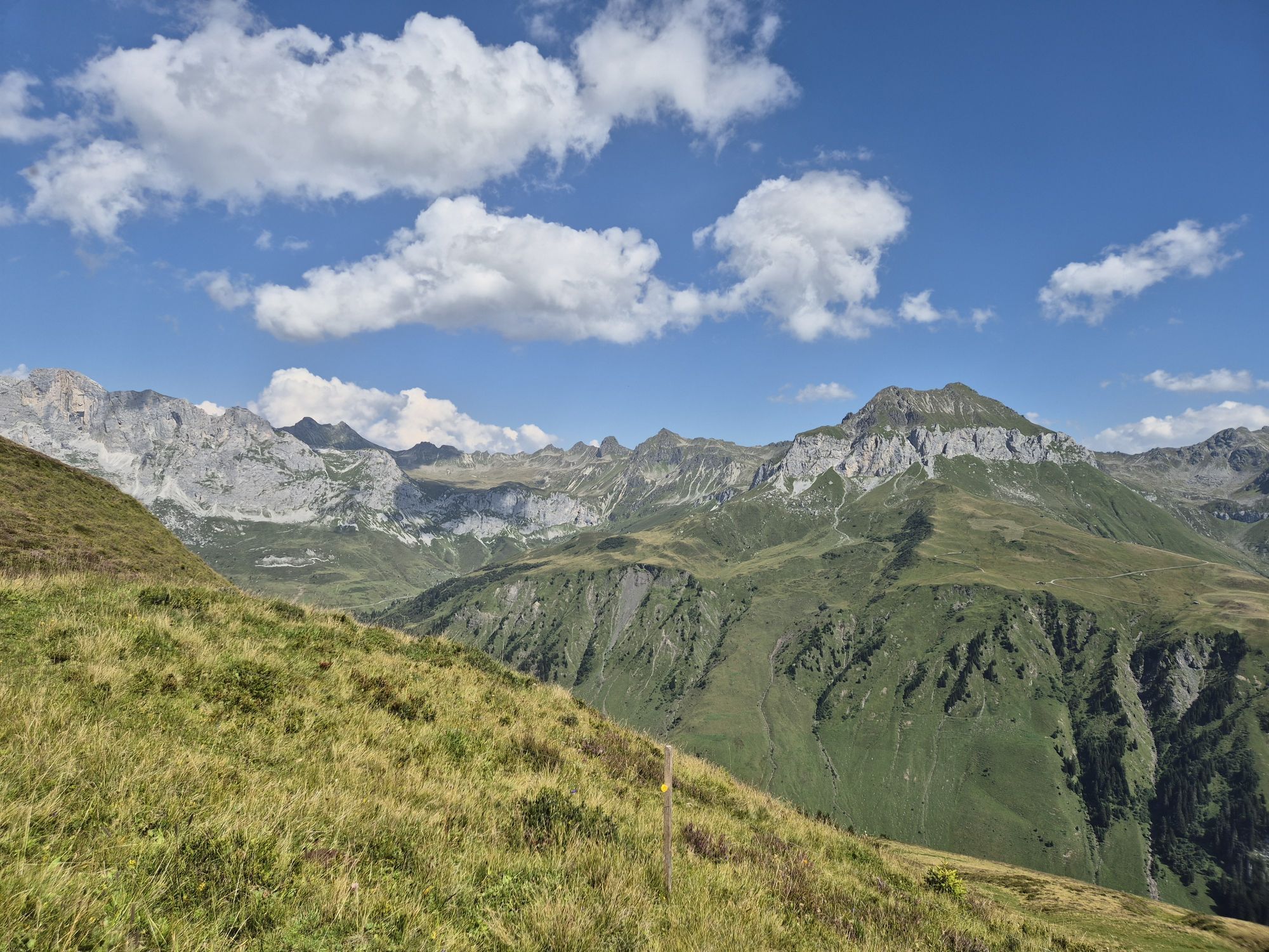
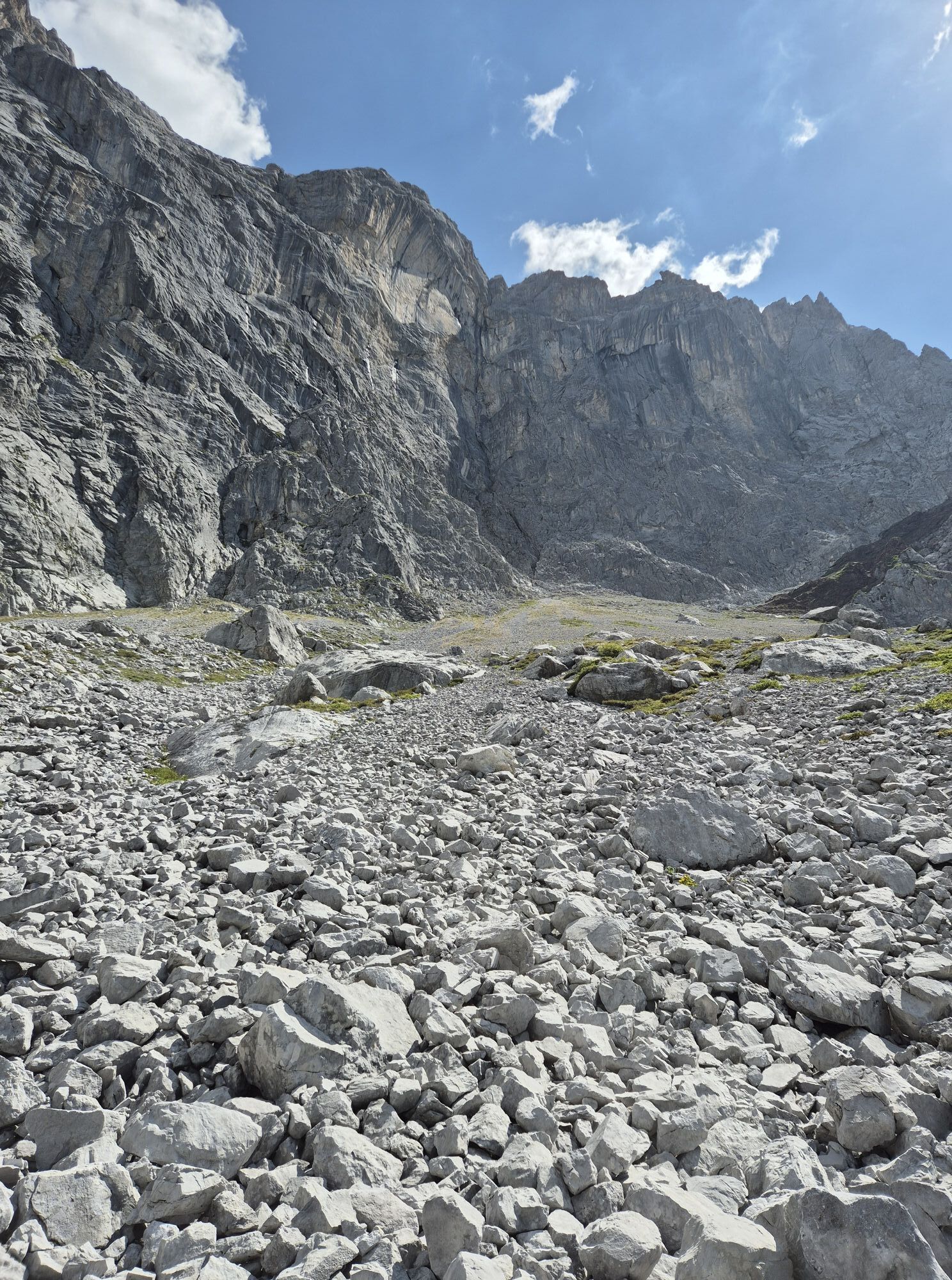
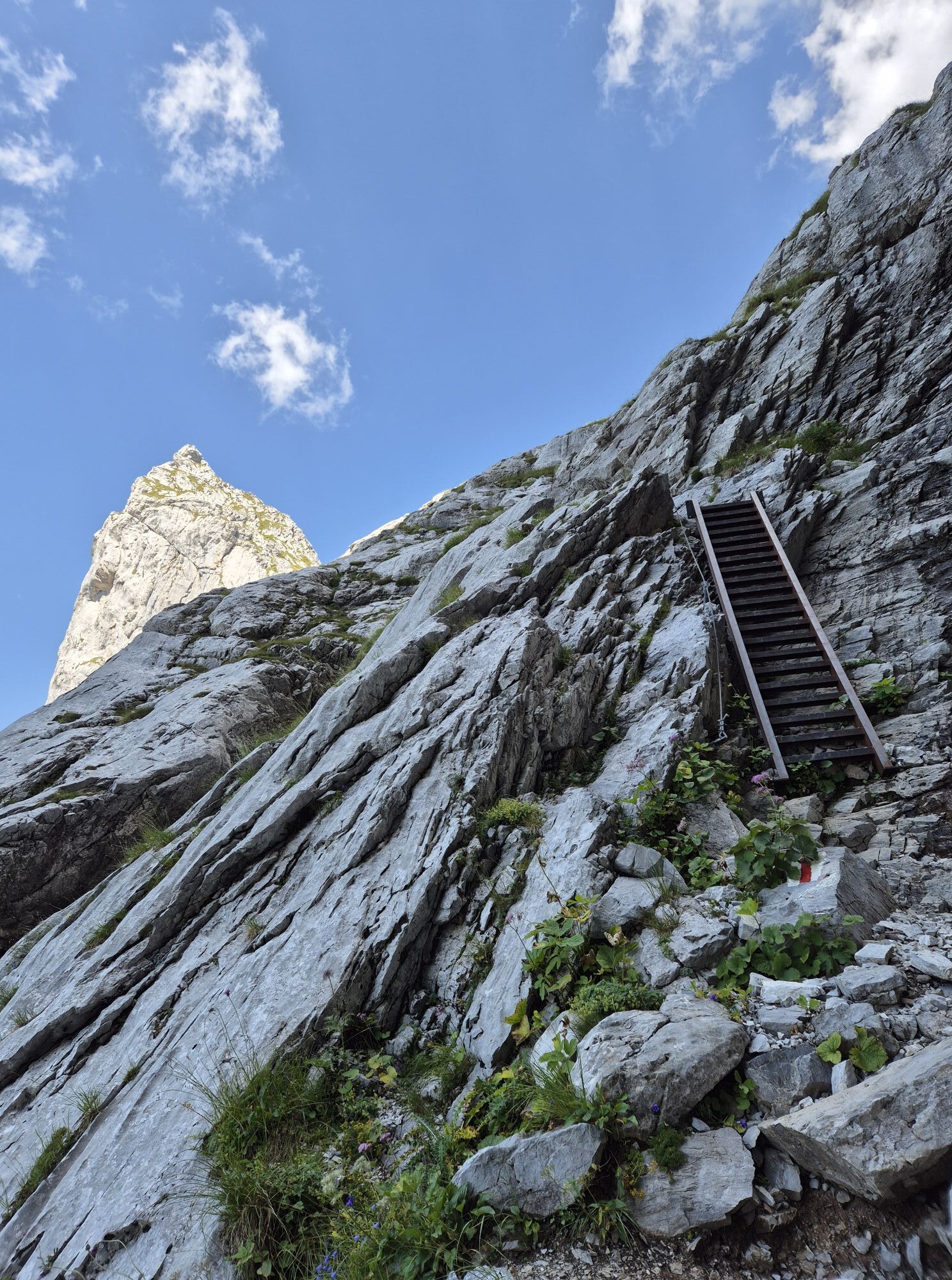
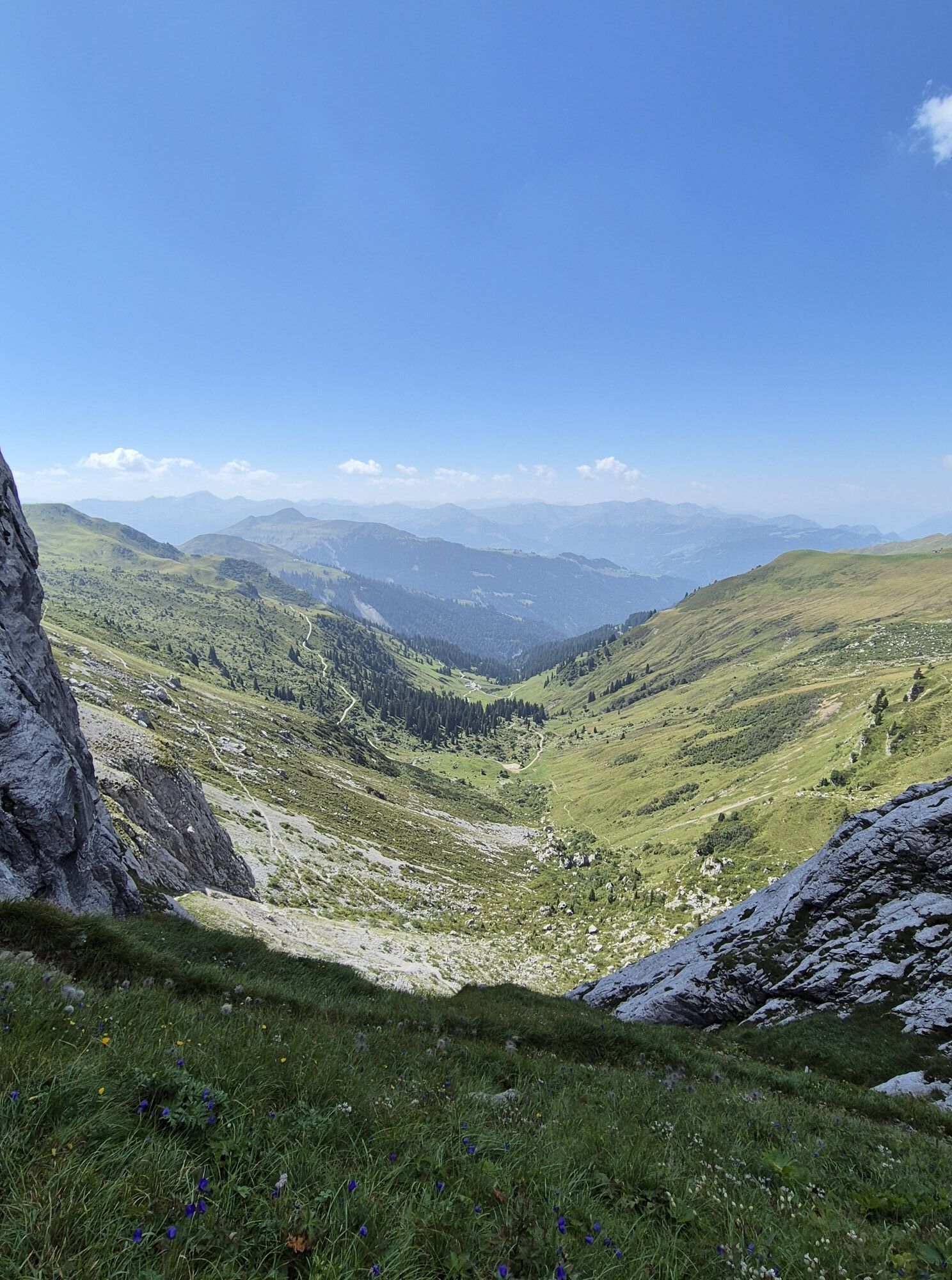
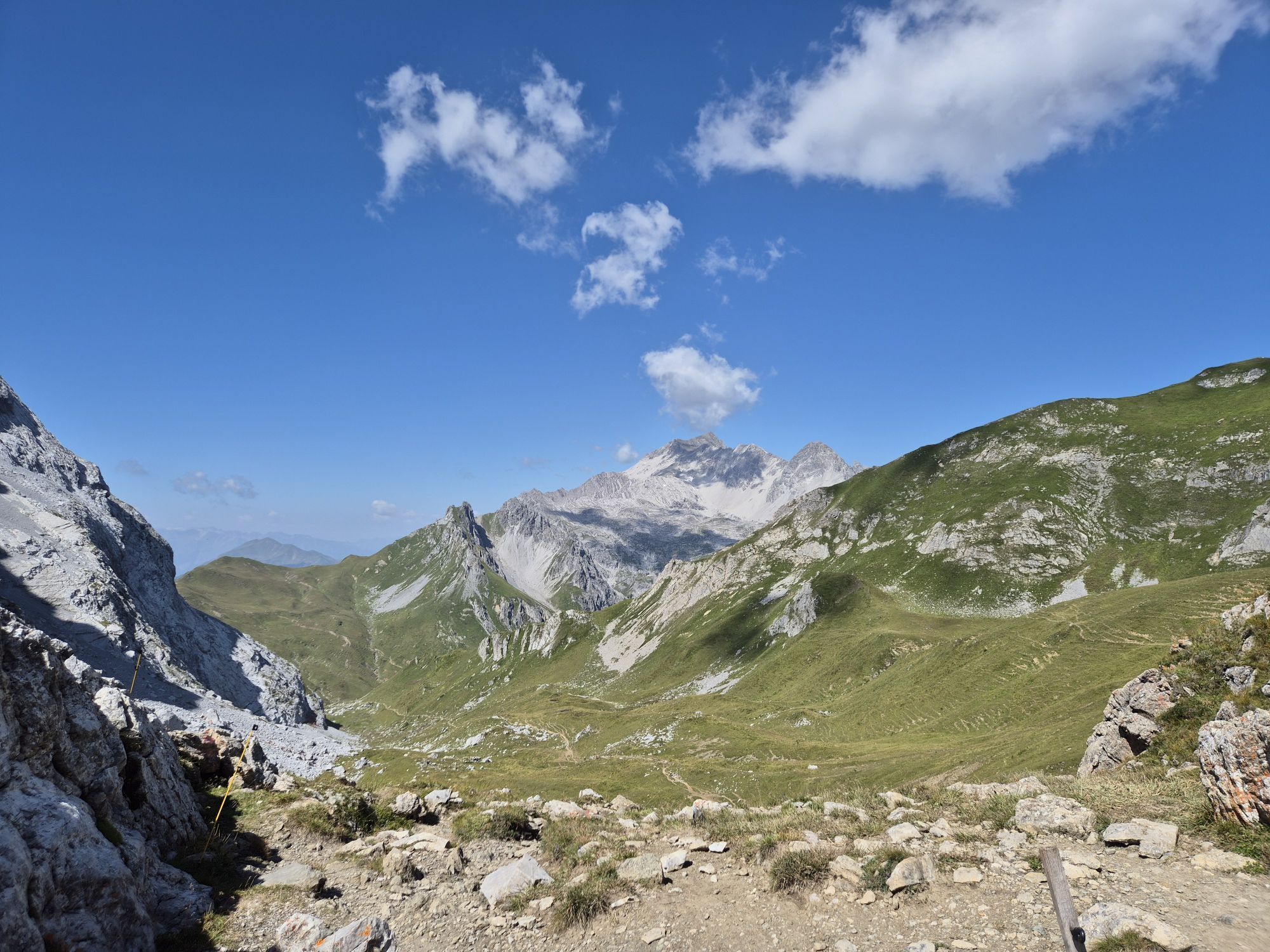
In St. Antönien, the first 600 meters of altitude start on a small road, then on an increasingly narrower alpine path. During the high summer season, these first altitude meters to the Bärgli can be comfortably covered with the Bus alpin. Afterwards, it becomes somewhat flatter and a magnificent panorama opens up onto the Schijenflue. It's worth making a short detour to the Carschinasee before running on a panorama trail to the Carschinahütte SAC. You follow the Prättigau Höhenweg, which winds up and down below the Drusenfluh. The highlight of the route is the crossing into Austria through the Schweizer Tor. A spectacular path leads through a small gap between the rock walls. Then the terrain becomes gentler again, and the trail over the Verajoch offers pure enjoyment for every trailrunner. Before the Lünersee you turn left and pass the border at Cavelljoch. Back on Swiss ground, you meet the Prättigau Höhenweg again, following it to the Golrosa. After a short section on a gravel road, you turn left at Vordersäss onto a partly technical, solitary path. This mostly leads uphill to the Luderer Egg and then crosses the southwest flank of the Sassauna. The last descent to the Eggli is a worthy conclusion to the route.
About the author: 32-year-old Stephan Hugenschmidt is the winner and course record holder of the Eiger Ultra and Zugspitz Ultratrail. Stephan lives in Schiers and knows the trails in Prättigau like the back of his hand. He especially loves that the trails in Prättigau are not overcrowded and that you can spend hours in pristine nature.

St. Antönien - Carschinasee - Carschinahütte - Schweizer Tor - Verajoch - Cavelljoch - Golrosa - Vordersäss (Pt. 1699) - Luderer Egg (Pt. 2015) - Eggli
Tak
Suitable trailrunning shoes, backpack with drink (water or energy drink), food (bars, gels or maybe a sandwich with Prättigau mountain cheese and Bündnerfleisch?), wind jacket, mobile phone and emergency kit.
Sure-footedness and fitness are required.
Take the A13 to Landquart, then continue on the National Road A28 to Küblis. Shortly after entering the town, turn left and follow Luzeinerstrasse uphill towards Luzein, Pany, St. Antönien.
Take the Swiss Federal Railways (SBB) to Landquart, then change to the Rhaetian Railway (RhB) towards Davos. Get off in Küblis. Afterwards take the postbus to St. Antönien.
All parking lots in St. Antönien require payment. You can pay at the parking lots with cash, Parkingpay app, Easy-Park or Twint. The last parking lot P6 with day ticket is located below the Partnunstafel, about 3.5 km outside of St. Antönien. The parking lot below the mountain houses is reserved for guests.
Discover more trails in Prättigau or in Davos Klosters.
From St. Antönien, use the Bus alpin (reservation required) to the "Bärgli" and save yourself 700 meters of altitude!
Popularne wycieczki w okolicy
-
5,0
Ski tour to the Lindauer Hut (1,744 m)
światłoWycieczka narciarska 14,0 km -
4,7
Smuggler’s path
średniTrasa tematyczna 8,60 km -
4,9
Bürs, Bürserschlucht Bürs, Vorarlberg
średniWędrówka 5,31 km -
4,4
Golm-Rundwanderweg im Rätikon
średniTrasa tematyczna 7,28 km -
4,2
Golmerbahn Bergstaion Grüneck - Golmer Höhenweg - Geißspitze - Lindauer Hütte - Latschau
średniWędrówka 11,5 km -
4,7
Over the historic mine and Fritzensee to Rellseck
średniWędrówka 7,25 km -
5,0
Douglasshütte, Lünersee, Gafalljoch Brand bei Bludenz, Vorarlberg
światłoWędrówka 9,16 km -
3,7
Fürstin-Gina-Weg
Wędrówka 10,7 km -
3,0
Bergstation Grüneck Golmerbahn - Alpe Latschätz - Lindauer Hütte - Latschau
światłoWędrówka 11,1 km -
4,7
Douglashütte - Schesaplana
średniWędrówka 7,31 km
Wędrówki i tropienie


Nie przegap ofert i inspiracji na następne wakacje
Twój adres e-mail została dodana do listy mailingowej.