






Senda Piz Clünas: Ftan, Prui – Piz Clünas – Ftan, Prui (660)
Poziom trudności: T3
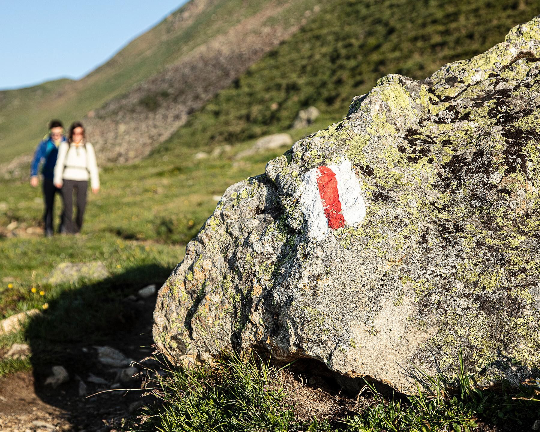
The tour starts at the Prui mountain station, which can be reached by chairlift from Ftan. After a short section in the forest, the steep zigzag ascent over the Munt dal Piz towards Piz Clünas begins above...
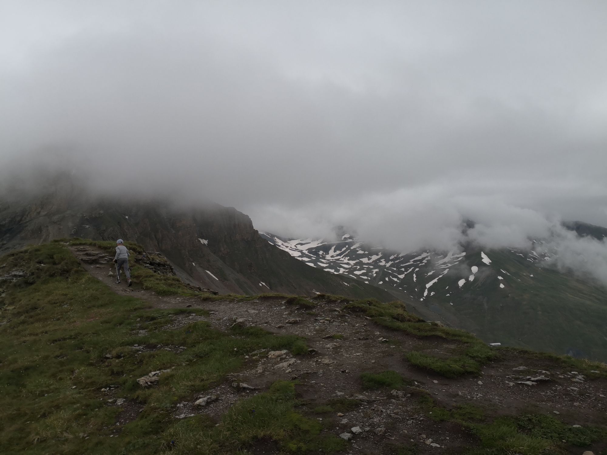
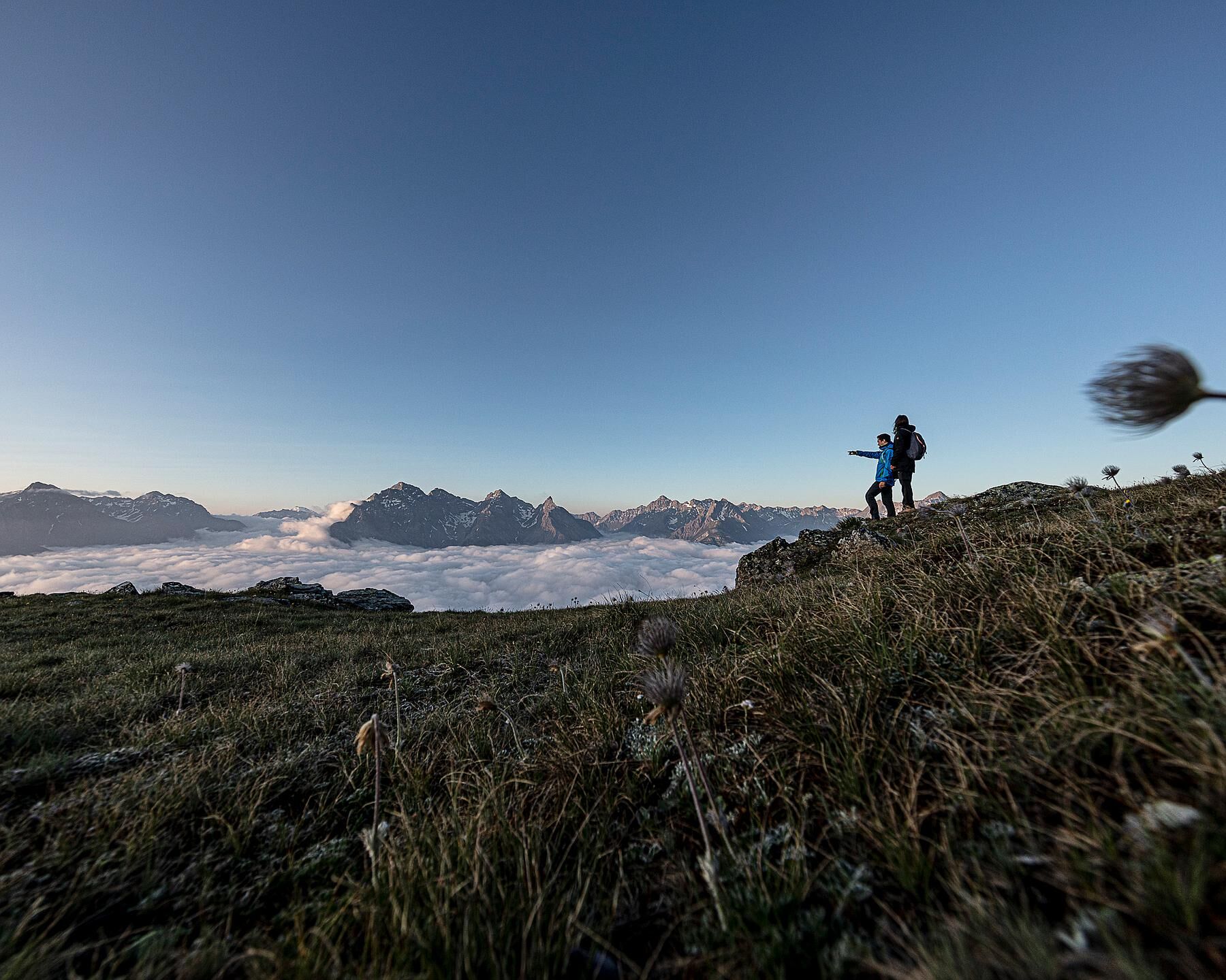
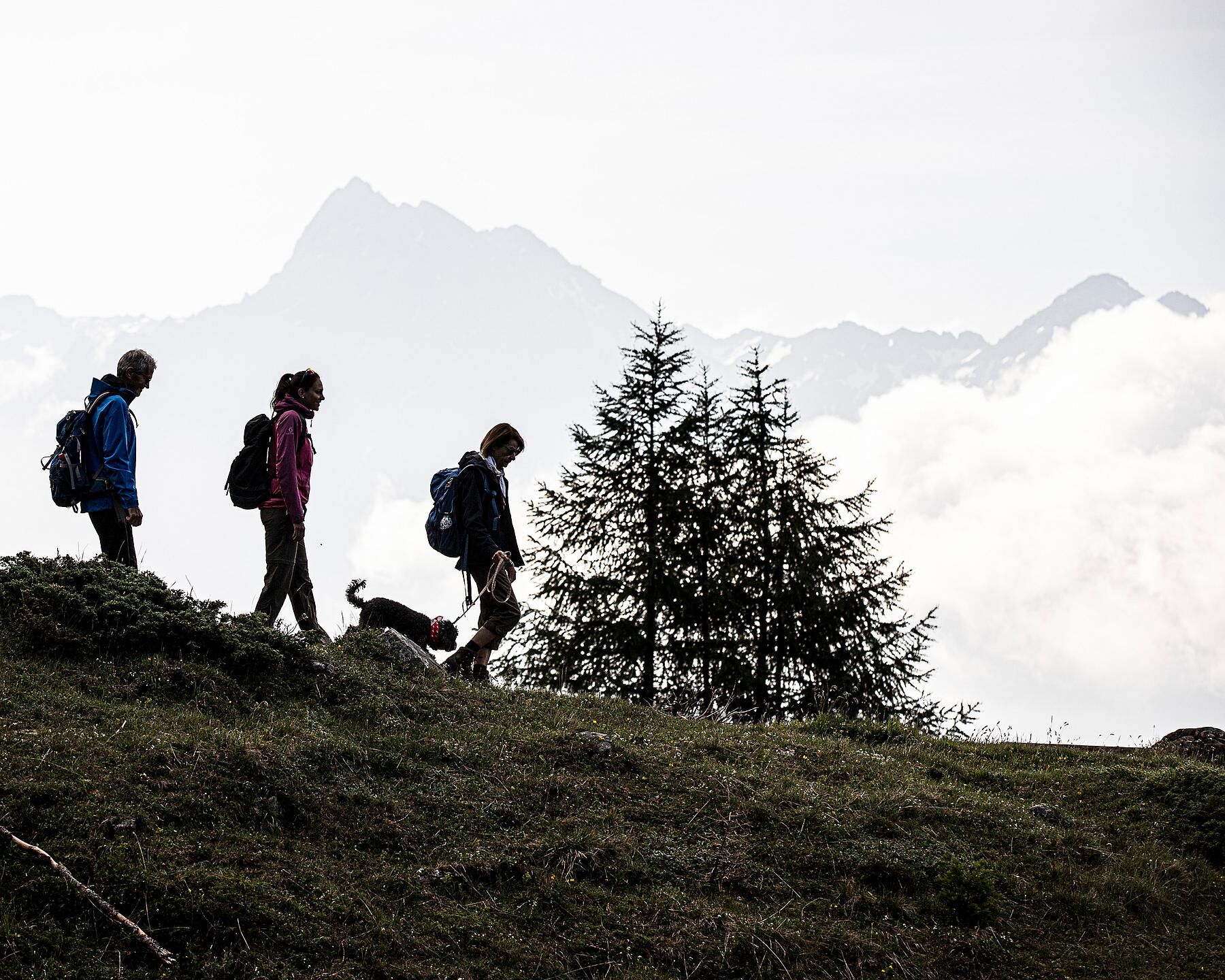
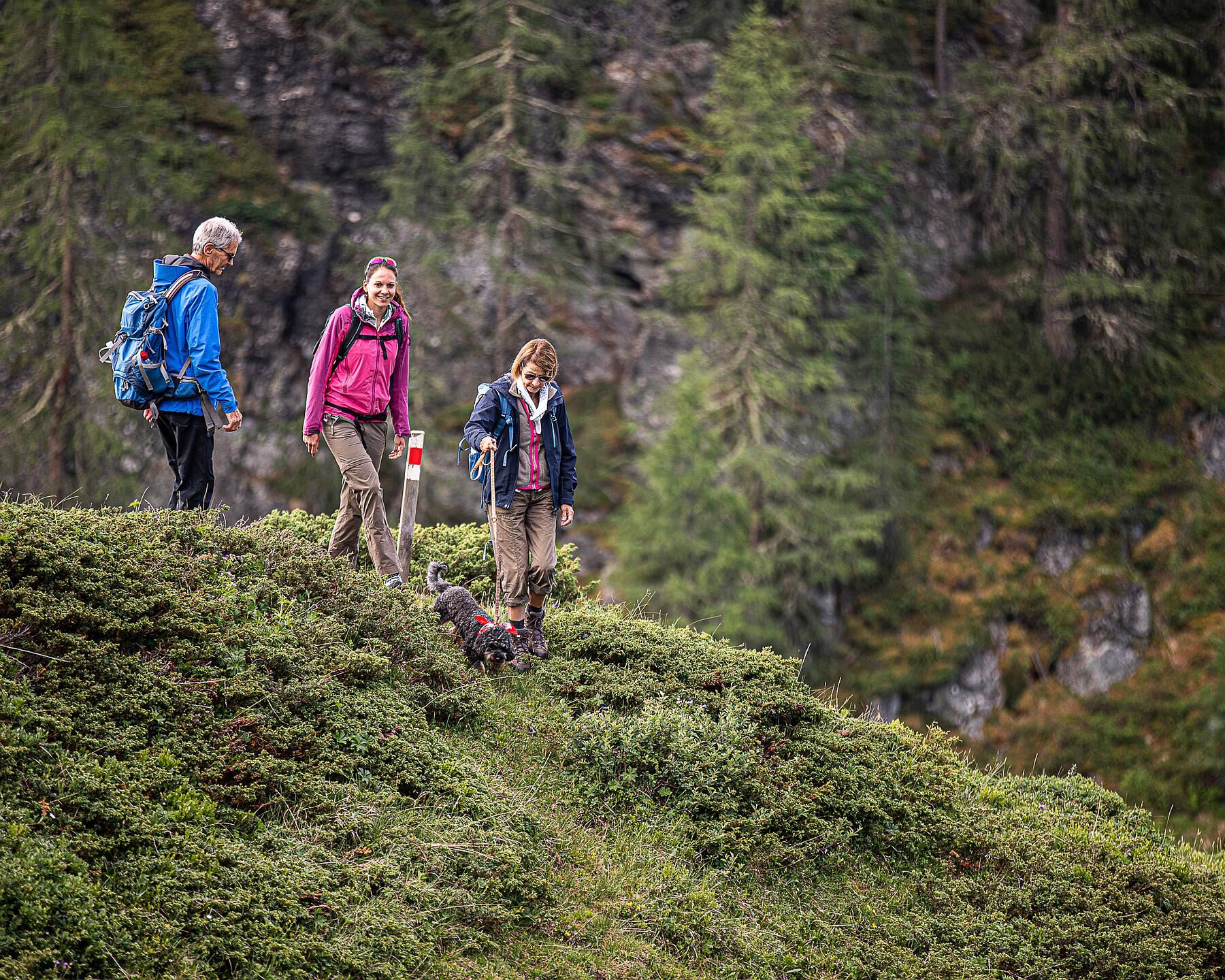
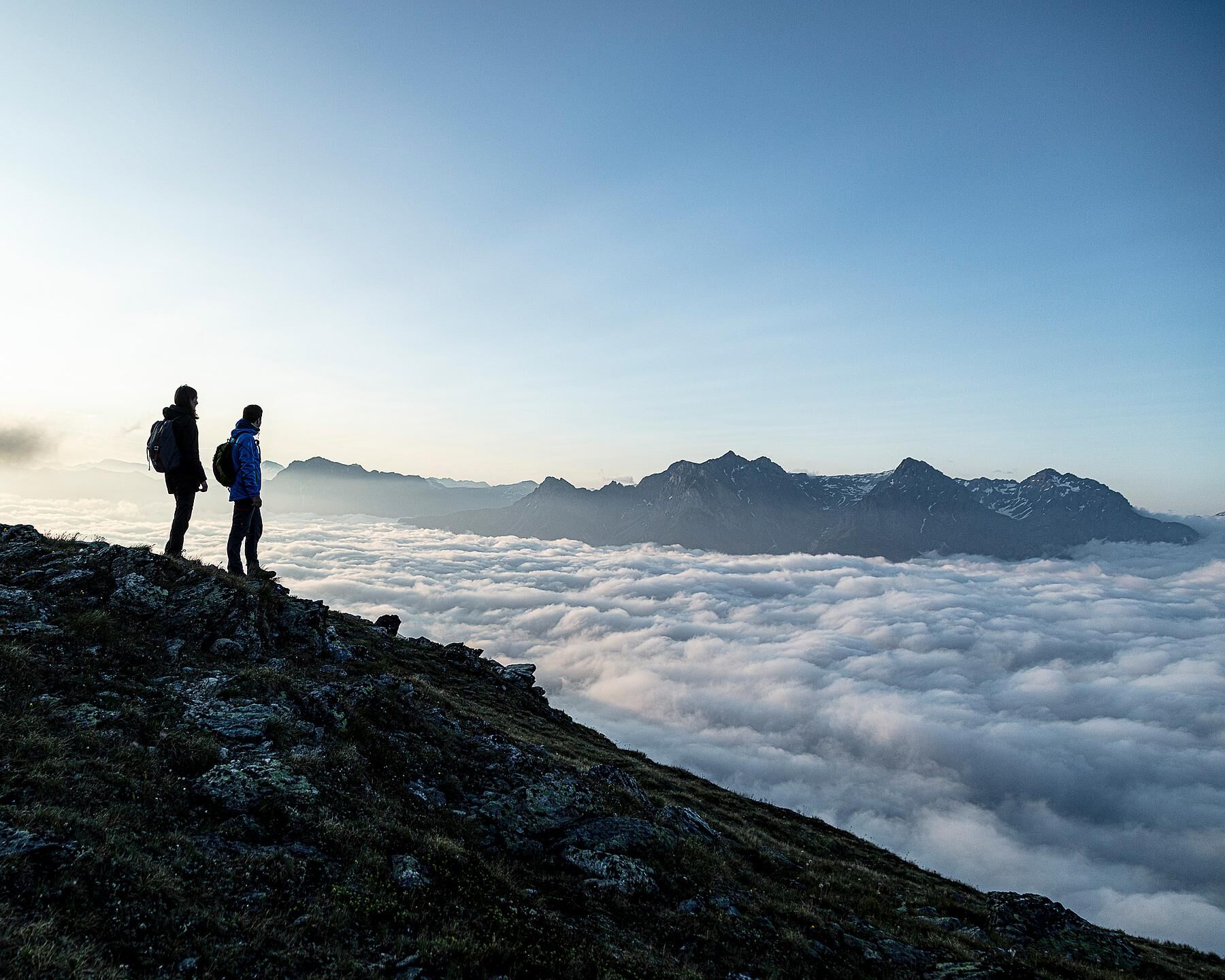
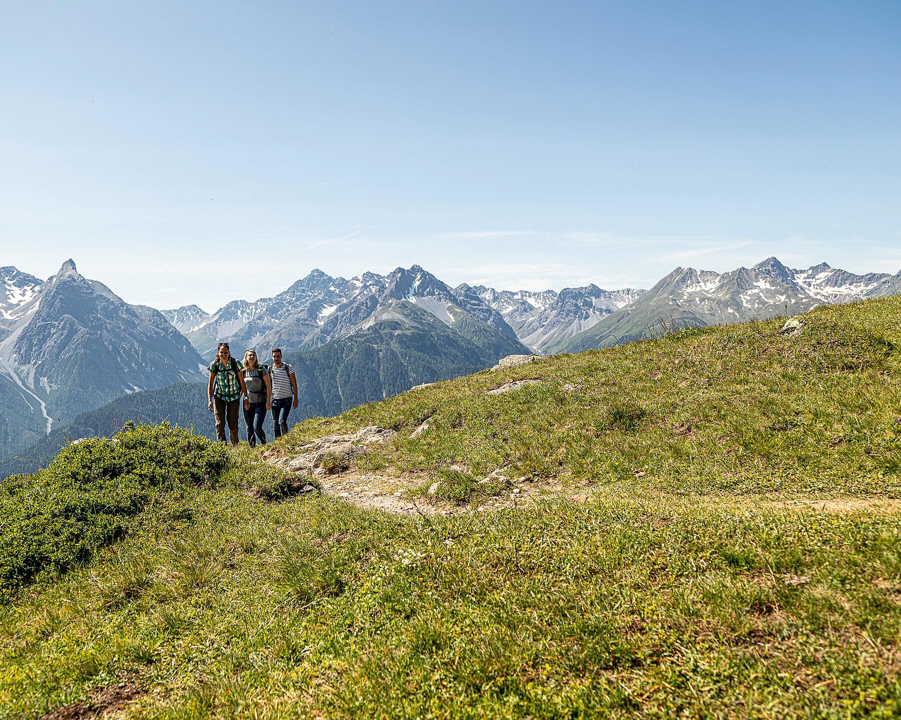
The tour starts at the Prui mountain station, which can be reached by chairlift from Ftan. After a short section in the forest, the steep zigzag ascent over the Munt dal Piz towards Piz Clünas begins above the tree line. Along the way, you are surrounded by many mountain flowers. A look back is also worthwhile: the view of the majestic peaks of the Lower Engadine Dolomites – including S-chalambert, Ajüz, Lischana, and San Jon – as well as the Pisoc group with Piz Pisoc is impressive. To the east, the facilities of the winter sports area can be seen. Behind the saddle between Piz Nair and Champatsch rises the distinctive Piz Tschütta.
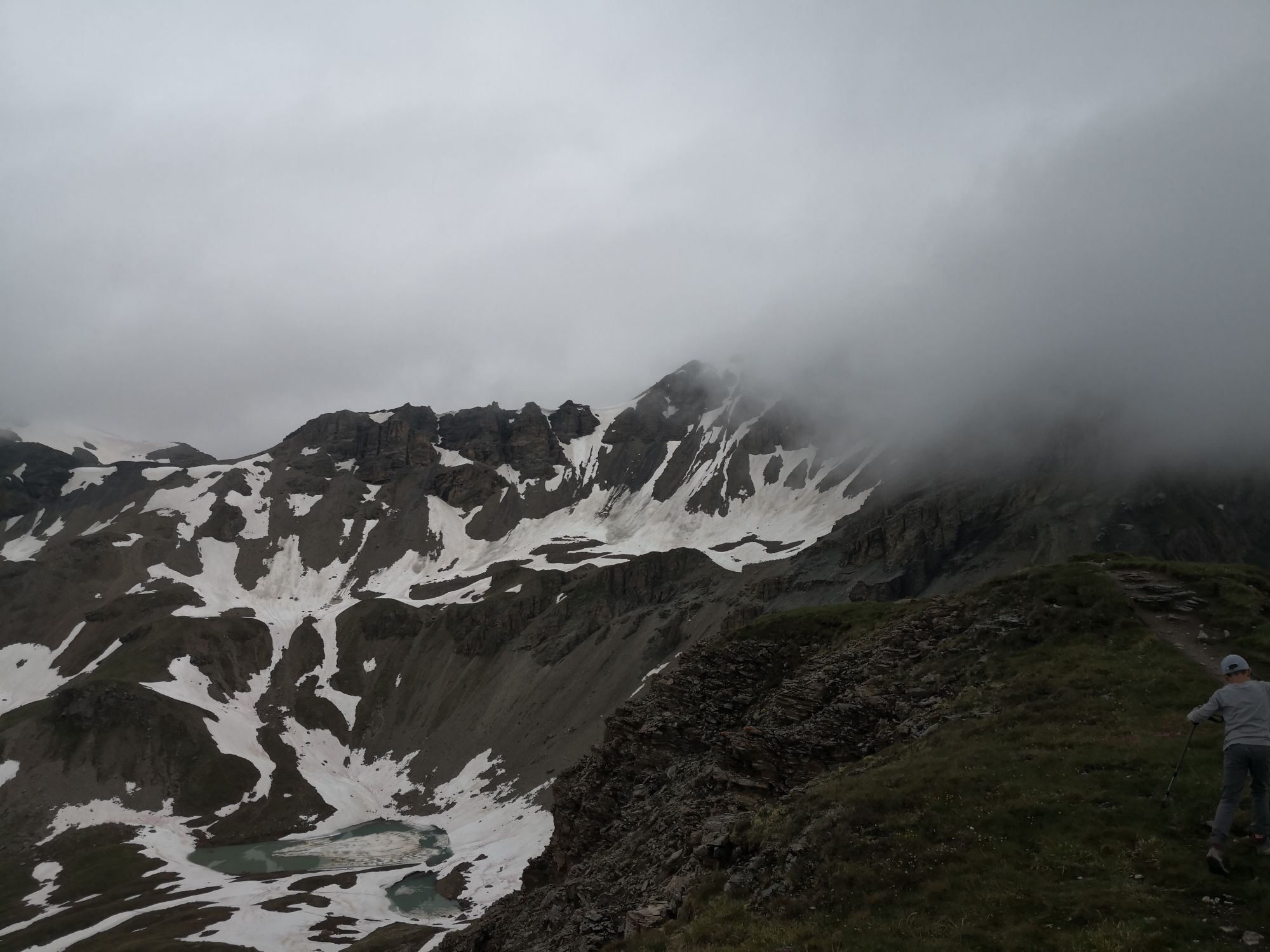
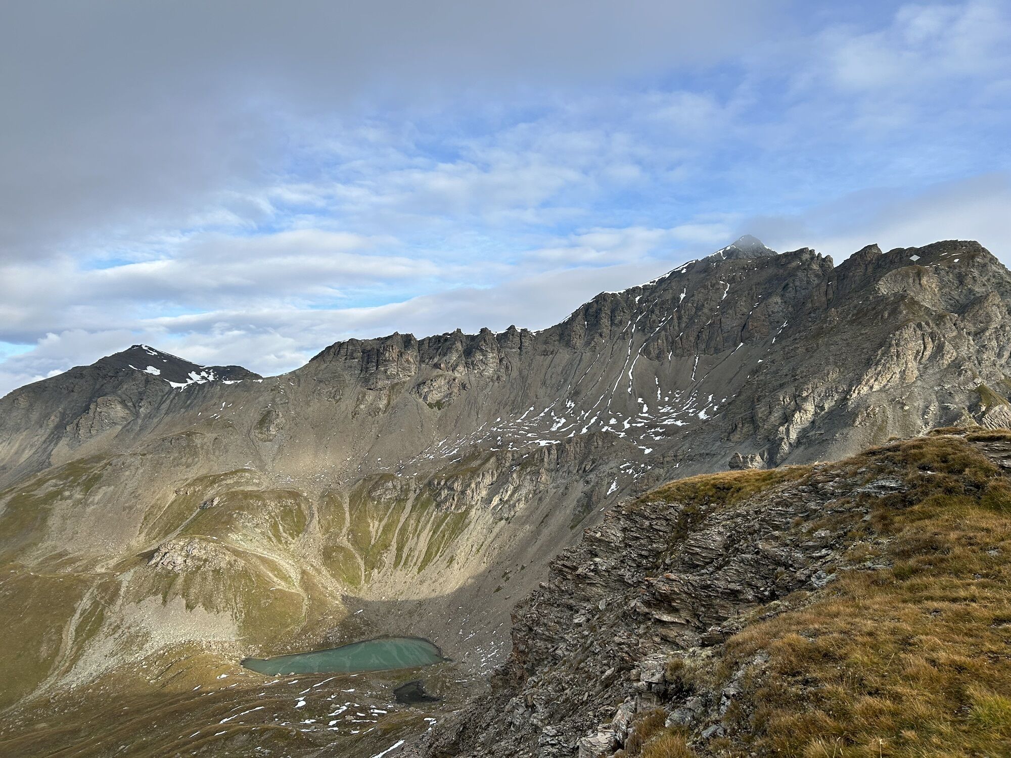
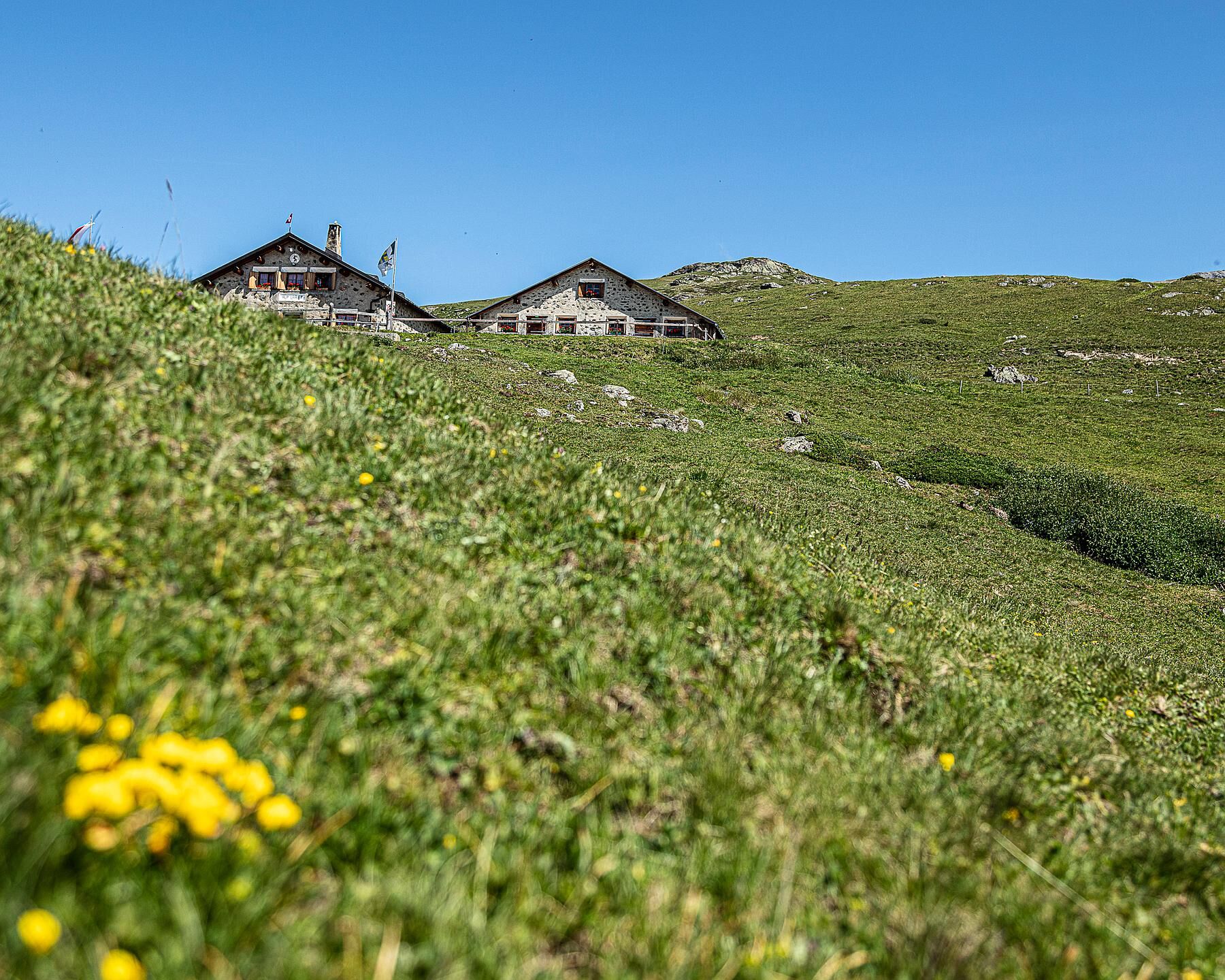
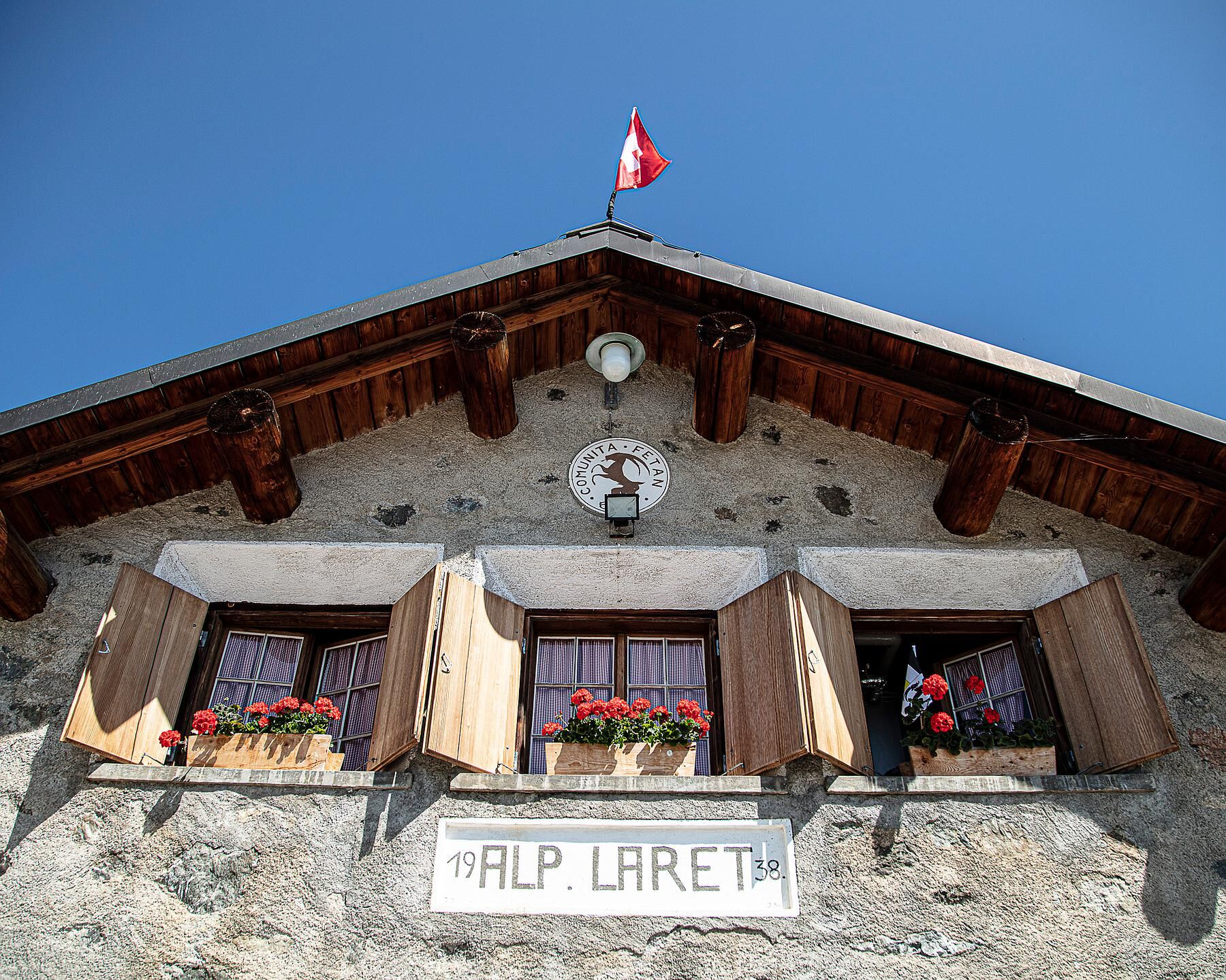
After crossing the summit, the path descends to the small, crystal-clear mountain lake Lai da Minschun. Either you take a picnic break here – or you continue westward without stopping over the Muot da l’Hom following the signposts to Alp Laret. Here, surrounded by cows and chickens, a cozy opportunity for a longer break is offered. The restaurant at Alp Laret is famous for its Kaiserschmarrn.
Afterwards, the hike continues eastward, followed by a traverse along the south slope on a gently descending path below the Muot da l’Hom. Along the way over Era dals Jals towards Boudas da Clünas, the wonderful Lower Engadine panorama opens up in the direction of travel. Upon arriving at Prui, the chairlift to Ftan can be taken again.


T3
Uzyskaj wgląd
Zawsze na żywo z ponad 9 500 kamer internetowych. bergfex Jako użytkownik Pro, możesz teraz zobaczyć odpowiednie kamery internetowe dla wielu wycieczek w aplikacji wycieczki od. Pozwala to na bezpośredni podgląd aktualnych warunków.
Popularne wycieczki w okolicy
-
4,9
Hiking trail Piz Buin - view
średniWędrówka 14,4 km -
4,7
Jamtal lodge
średniWędrówka 19,6 km -
5,0
Großer Piz Buin (3.312m), Normalweg 2019 über Ochsentaler Gletscher
ciężkiWycieczka wysokogórska 24,1 km -
4,8
National park: Zernez – Munt Baselgia – Macun lakes – Alp Zeznina – Lavin
ciężkiWędrówka 22,9 km -
2,0
Bielerhöhe - Vermuntkopf - Bielerhöhe
średniWędrówka 17 km -
4,5
Tarasp Fontana – Sparsels – Lai Nair (circular route)
światłoWędrówka 7,67 km -
4,5
Ski tour Hennekopf (2,704 m)
średniWycieczka narciarska 4,17 km -
Ascent of Hohes Rad and stop at the Wiesbadener Hut
ciężkiWędrówka 15,8 km -
4,6
Gaschurn, Wiesbadner Hütte
Mountainbike 6,82 km -
5,0
San Jon – Chamonna Lischana (return)
średniWędrówka 12,0 km

Wędrówki i tropienie


Nie przegap ofert i inspiracji na następne wakacje
Twój adres e-mail została dodana do listy mailingowej.





