






Alp Nova - Trailtrophy Route
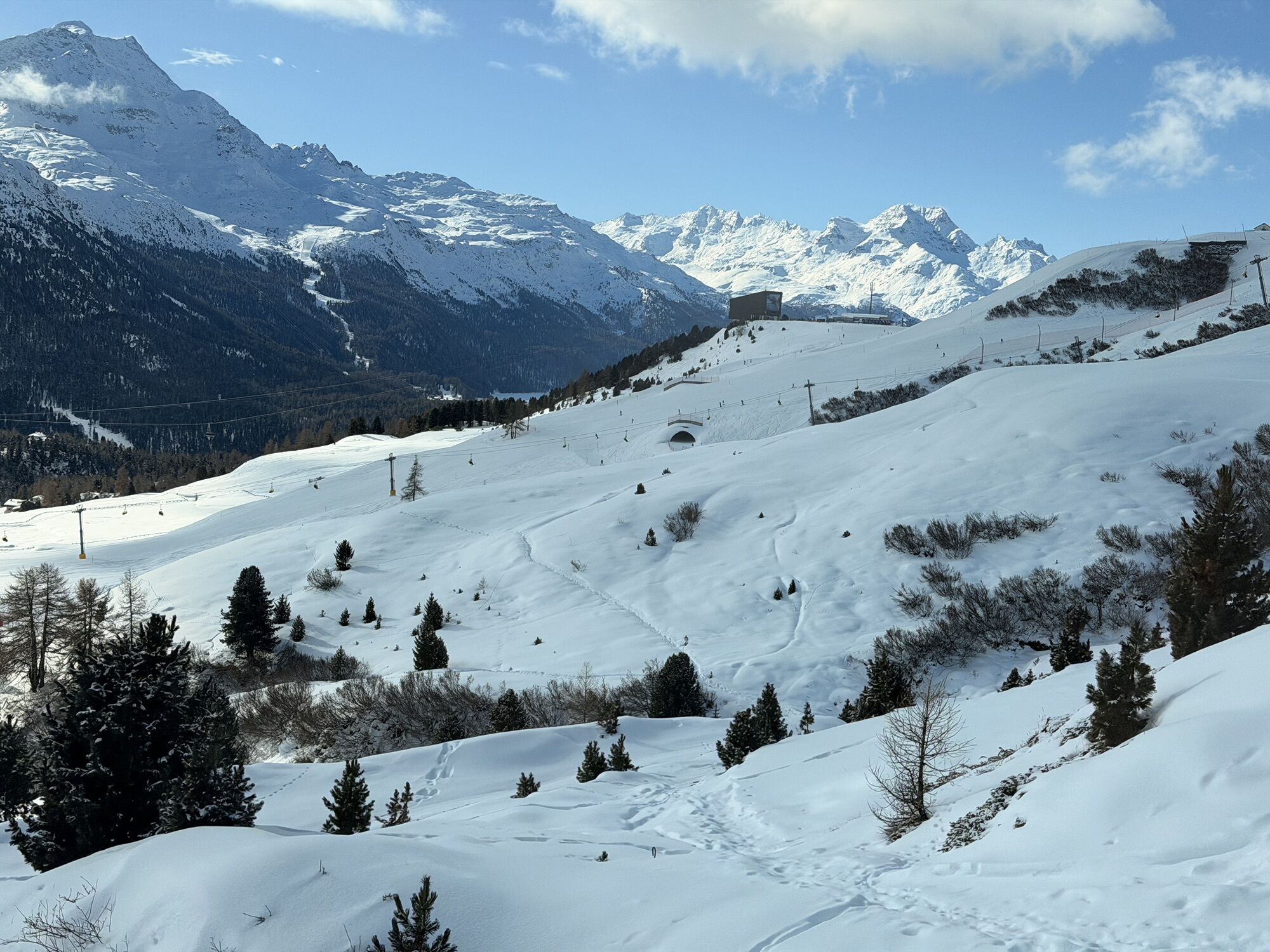
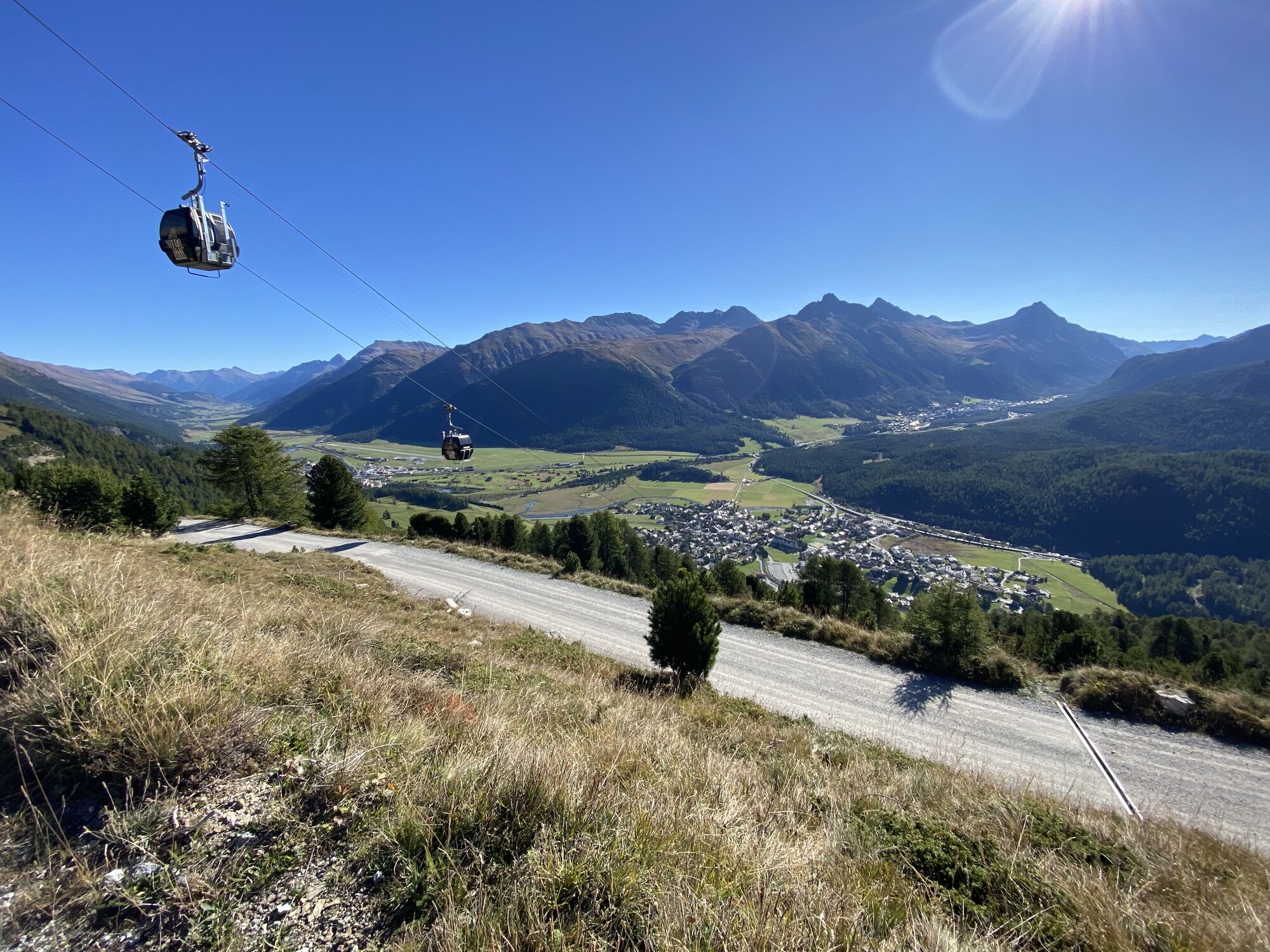
The route starts directly in the village about 250m behind the "Prada" shop on Via Tinus with a short steep path and stairs up to the right. Follow the signpost towards "Alp Laret" and walk the path through...
The route starts directly in the village about 250m behind the "Prada" shop on Via Tinus with a short steep path and stairs up to the right. Follow the signpost towards "Alp Laret" and walk the path through dense bushes always heading towards the TV tower. Upon reaching the radio mast, enjoy the view over St. Moritz and continue on the forest road towards Alp Laret, which comes about 700m behind the TV tower. Continue up the forest road until just below the Marguns gondola lift. There, the signpost leads left over meadows. This beautiful singletrail is not much frequented and sometimes has to be searched for a bit. However, you can navigate well using the red-white-red markings on the stones. The singletrail over the meadow initially ends at a wider meadow track. The path then makes a long right-hand loop and leads towards Alp Nova and further under the Chantarella funicular. In a wide curve towards Chantarella and back towards the TV tower and St. Moritz village.
Further information
Engadin Tourism AG
Via Maistra 1
CH-7500 St. Moritz
Phone: +41 81 830 00 01
E-mail: allegra@engadin.ch
Internet: www.engadin.ch

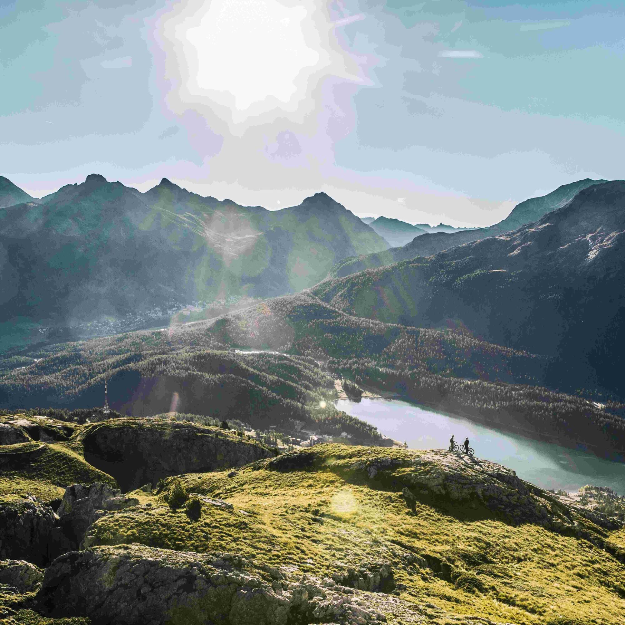

St. Moritz Village - TV Tower - Alp Laret - Sass da Muottas - Sass Runzöl - Alp Nova - Chantarella - St. Moritz Village
Tak
The path down to Alp Nova passes by interesting limestone formations.
Alp Nova is part of the Trailtrophy. Register and collect trophies at https://trailtrophy.ch/.
Kamery internetowe z trasy
-
Corviglia
-
St. Moritz / Samedan - Muottas Muragl
-
Marguns - Plateau Nair
-
Samedo - Engadin Golf
-
St. Moritz / Samedan - Muottas Muragl
-
Corviglia
-
Corviglia
-
Corviglia
-
Corviglia
-
Corviglia
-
Corviglia
-
Celerina - Cresta Palace
-
Piz Nair - St. Moritz
-
Celerina - Skiwiese Provuler
-
St. Moritz / Trais Fluors Bergstation
-
St. Moritz - Berghotel Randolins
-
Samedan - Engadin Airport
-
El Paradiso
-
Piz Nair Bergstation
-
Trais Fluors Bergstation
-
Trais Fluors Bergstation
-
Pontresina - Langlauf und Bikezentrum
-
Pontresina - Eiskletter-Schlucht
-
Pontresina - Hotel Saratz
Uzyskaj wgląd
Zawsze na żywo z ponad 9 500 kamer internetowych. bergfex Jako użytkownik Pro, możesz teraz zobaczyć odpowiednie kamery internetowe dla wielu wycieczek w aplikacji wycieczki od. Pozwala to na bezpośredni podgląd aktualnych warunków.
Popularne wycieczki w okolicy
-
5,0
Morteratsch station - Boval Hut
średniWędrówka 10,5 km -
4,7
Diavolezza - Munt Pers
światłoWędrówka 3,82 km -
4,7
Panoramic route Muottas Muragl
światłoWędrówka 6,75 km -
5,0
Muottas Muragl - Segantini hut - Pontresina
średniWędrówka 6,46 km -
4,5
Pontresina - Val Roseg - Pontresina
światłoWędrówka 13,8 km -
4,7
SAC Tschierva
światłoWędrówka 24,7 km -
4,7
Morteratsch Glacier route
światłoTrasa tematyczna 2,88 km -
Muottas Muragl - Segantini Hütte - Pontresina
średniWędrówka 17,5 km -
4,8
Around Lake St. Moritz
światłoWędrówka 4,32 km -
4,7
Alp Languard - Segantini Hut - Muottas Muragl
średniTrailrunning 6,45 km
Wędrówki i tropienie


Nie przegap ofert i inspiracji na następne wakacje
Twój adres e-mail została dodana do listy mailingowej.





