







Paradis & Pischa
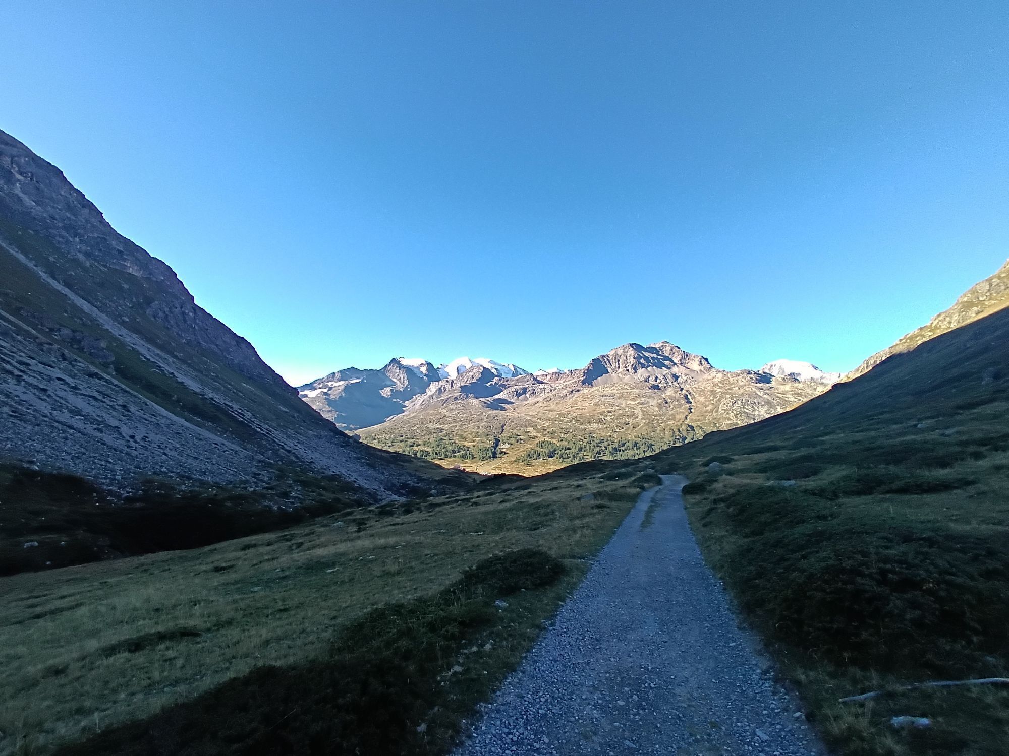
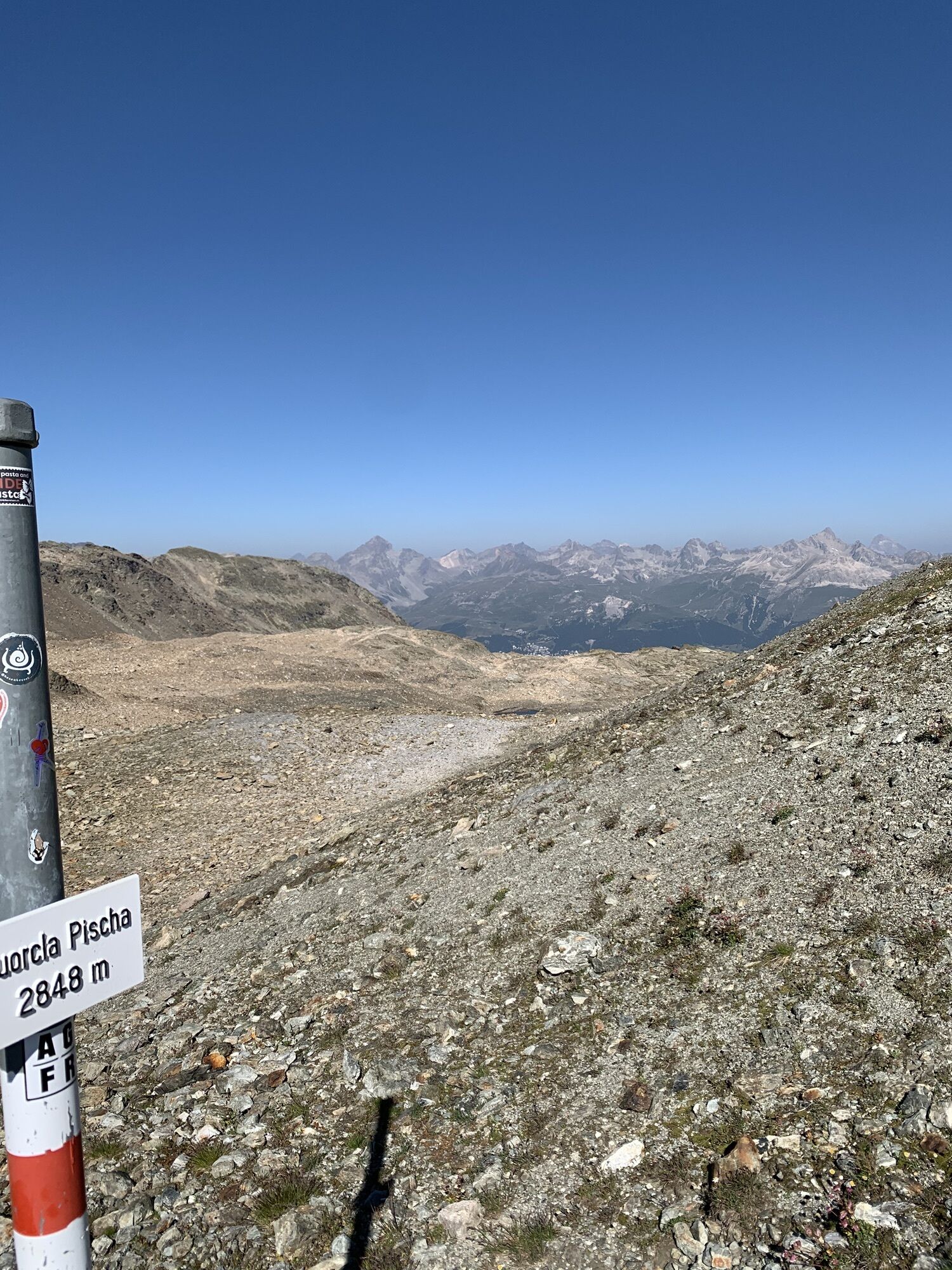
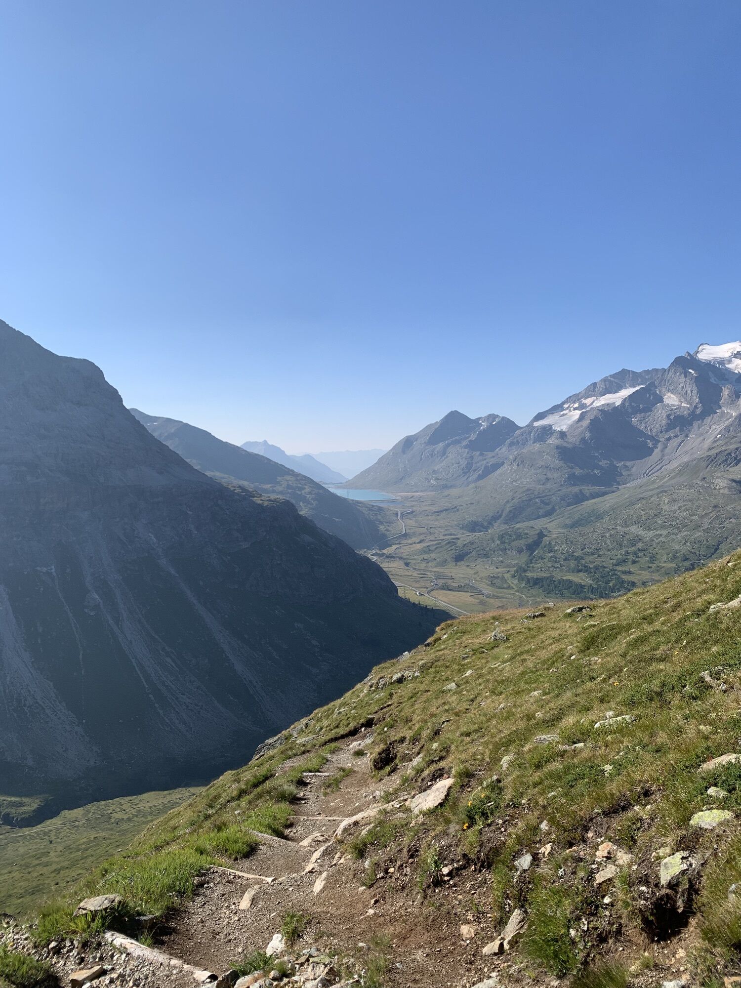
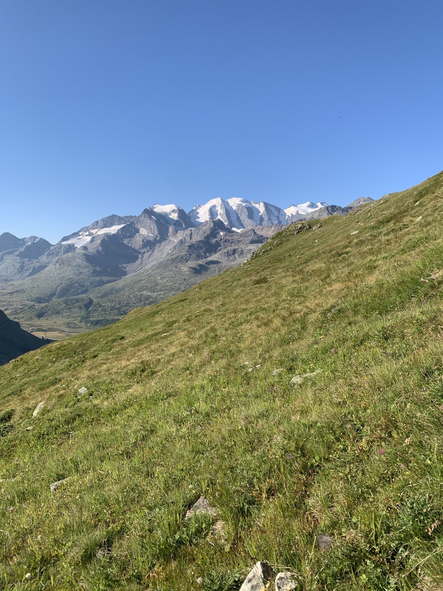
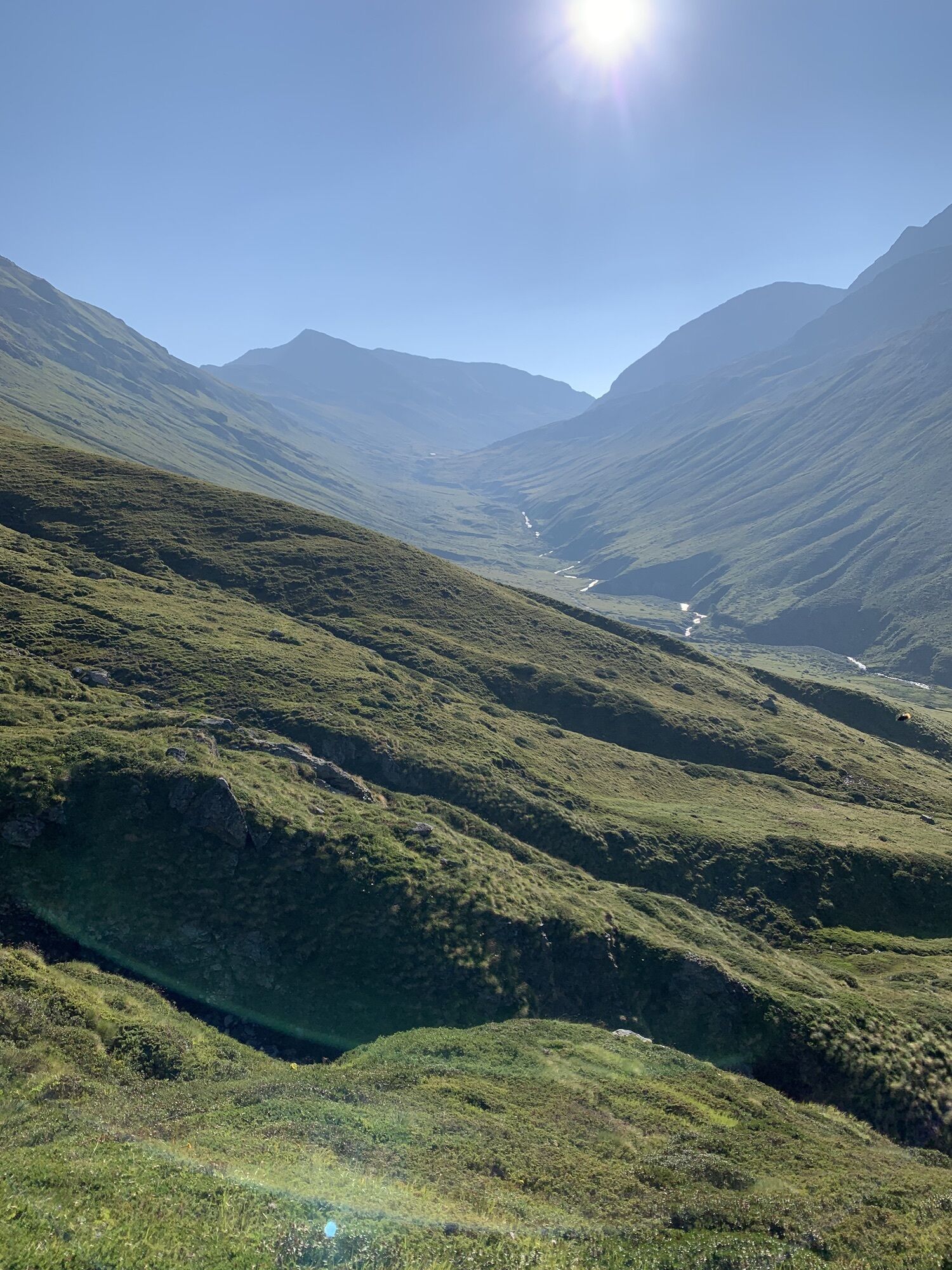
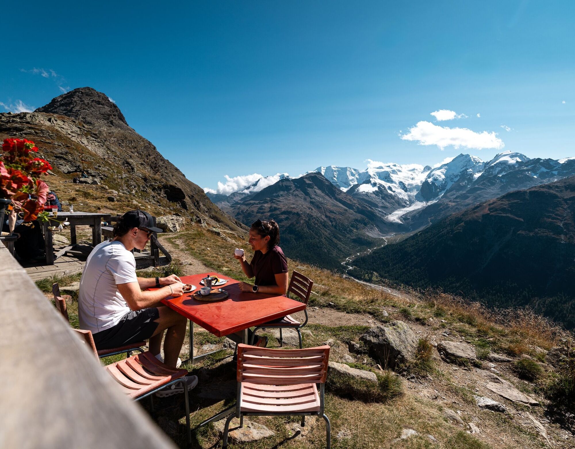
The route can be easily walked in both directions, each with its own unique character, but it is certainly worthwhile to take a break at the Paradis hut to enjoy an Engadine cake and a magnificent view....
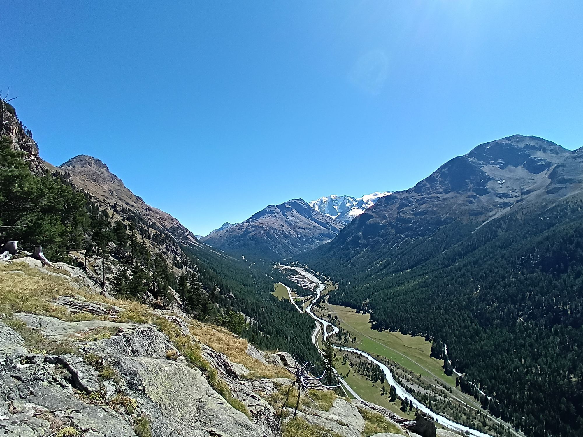
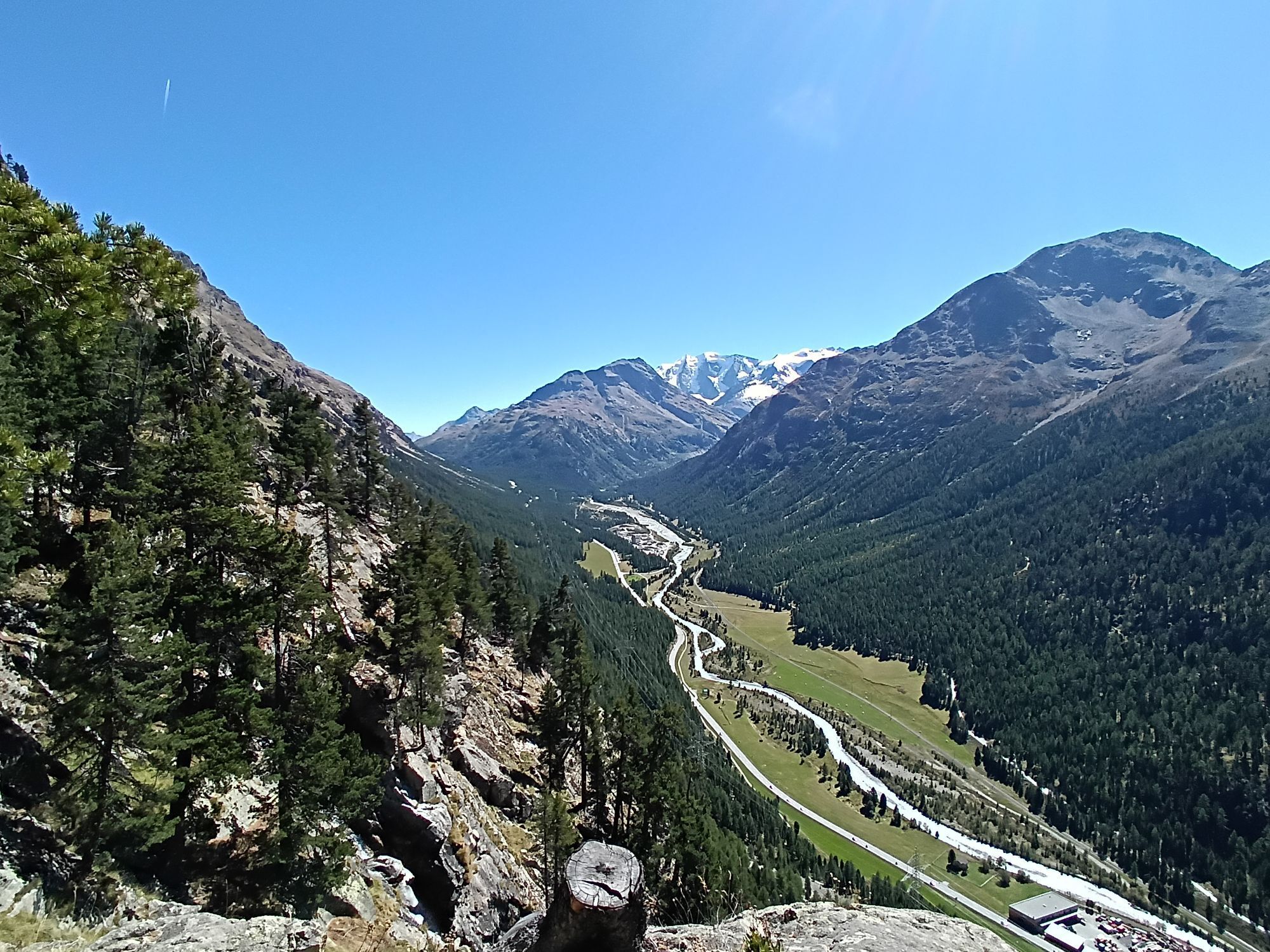
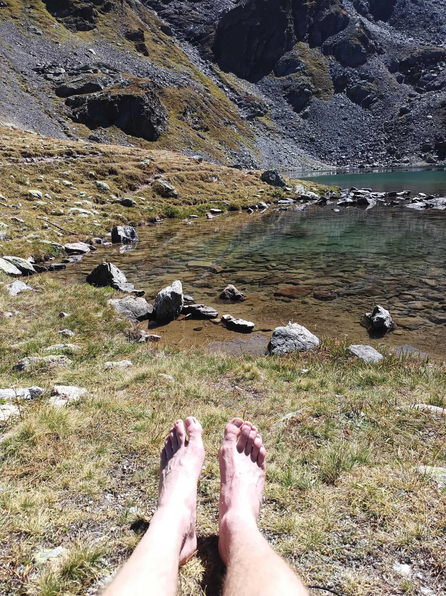
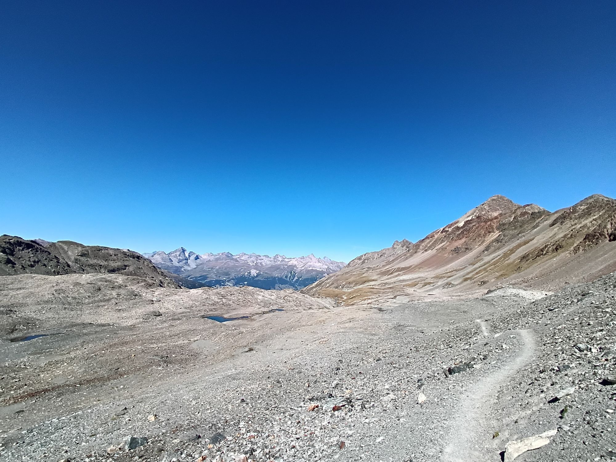
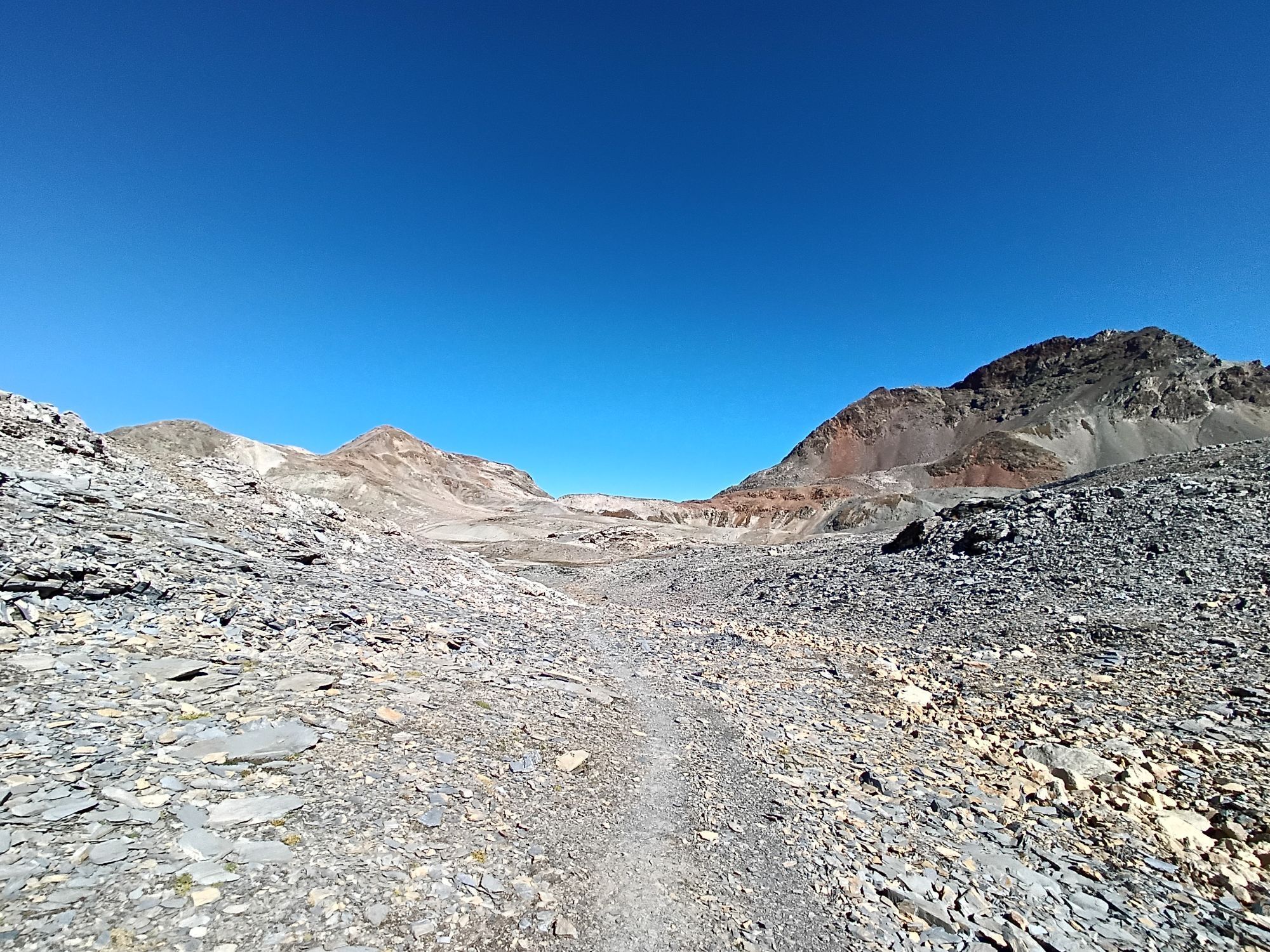
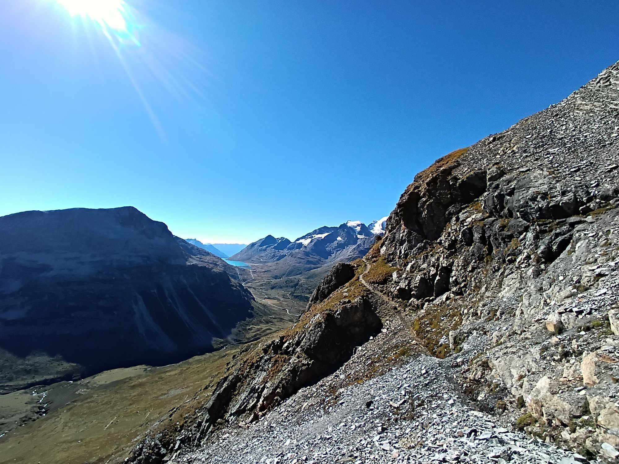
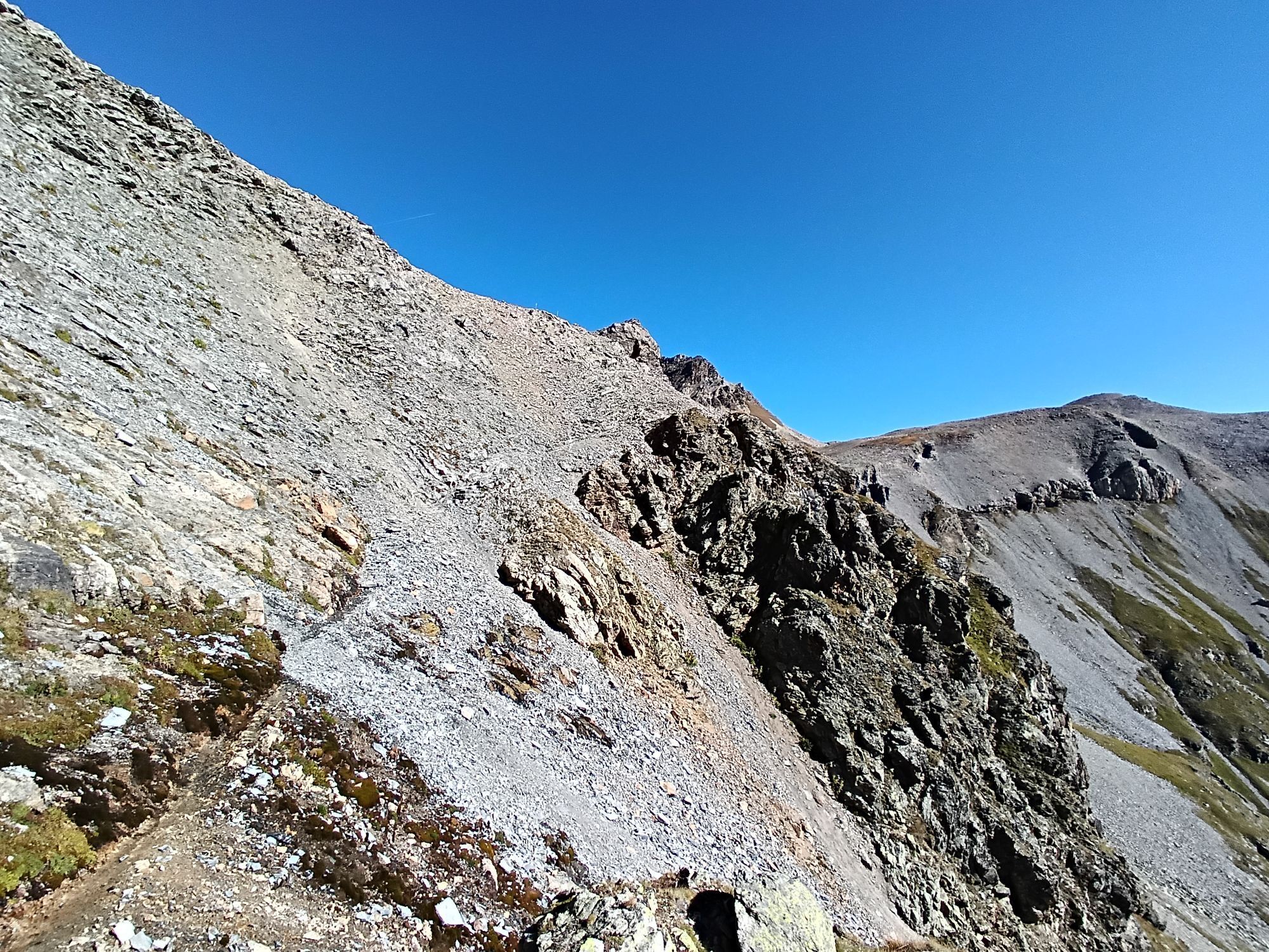
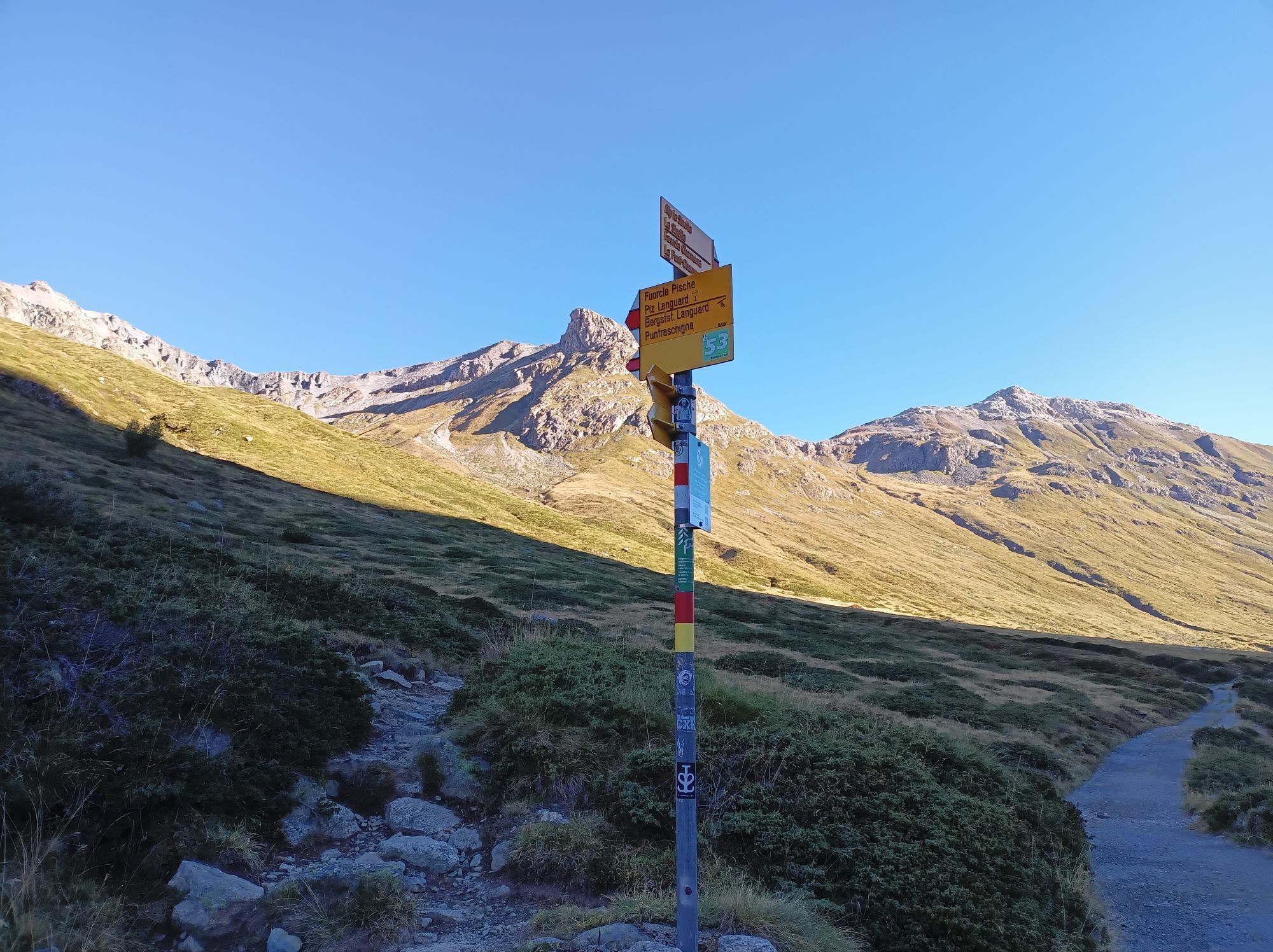
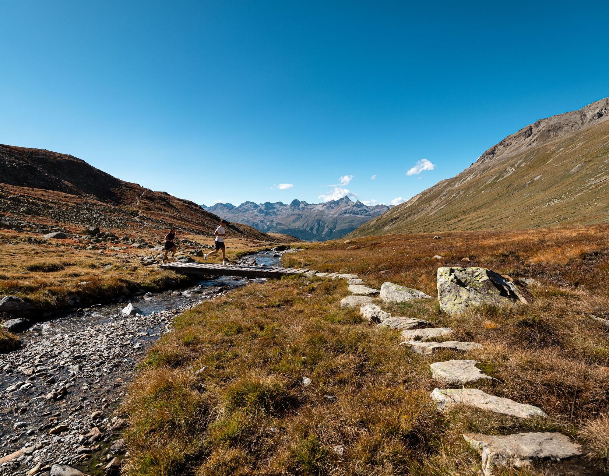
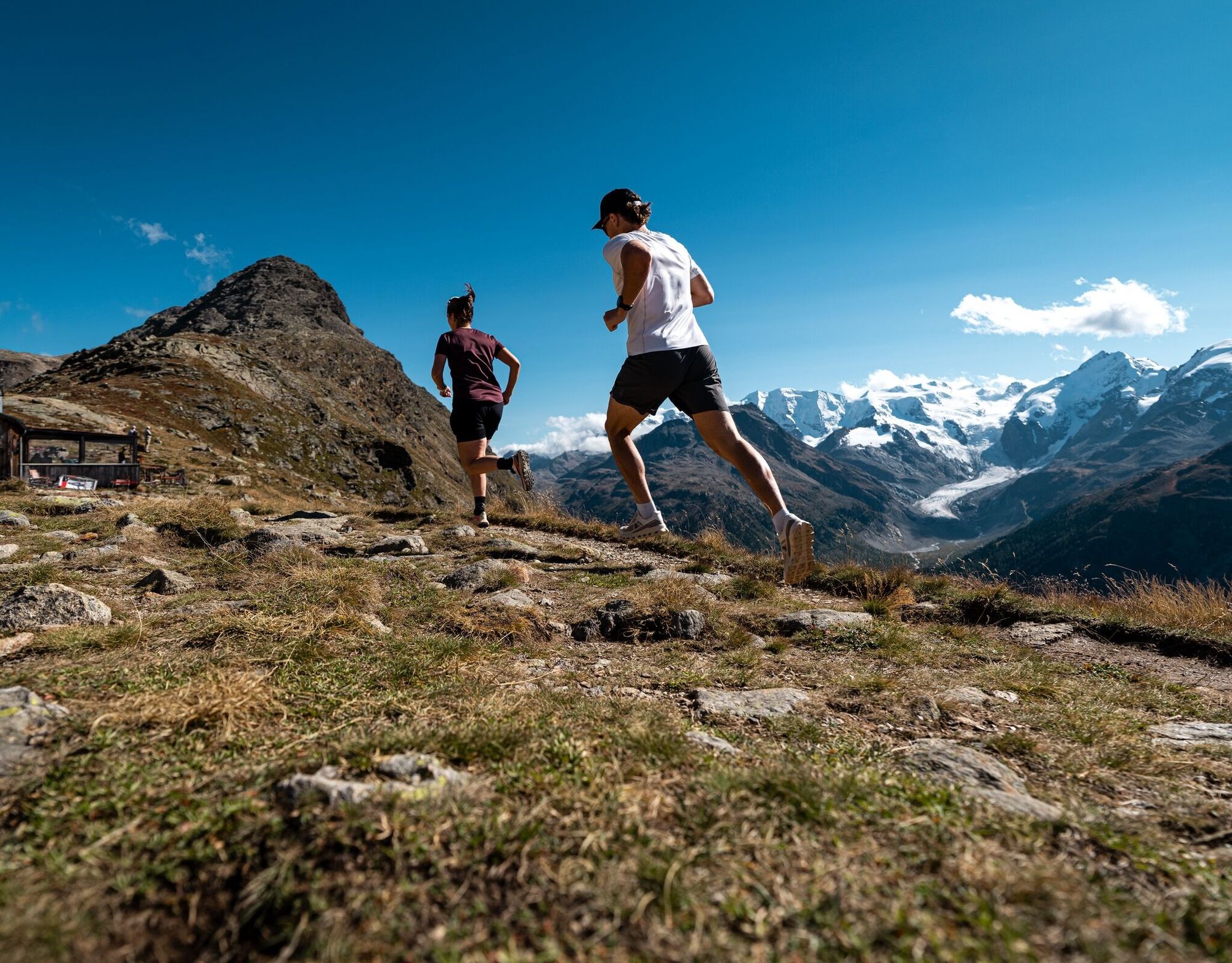
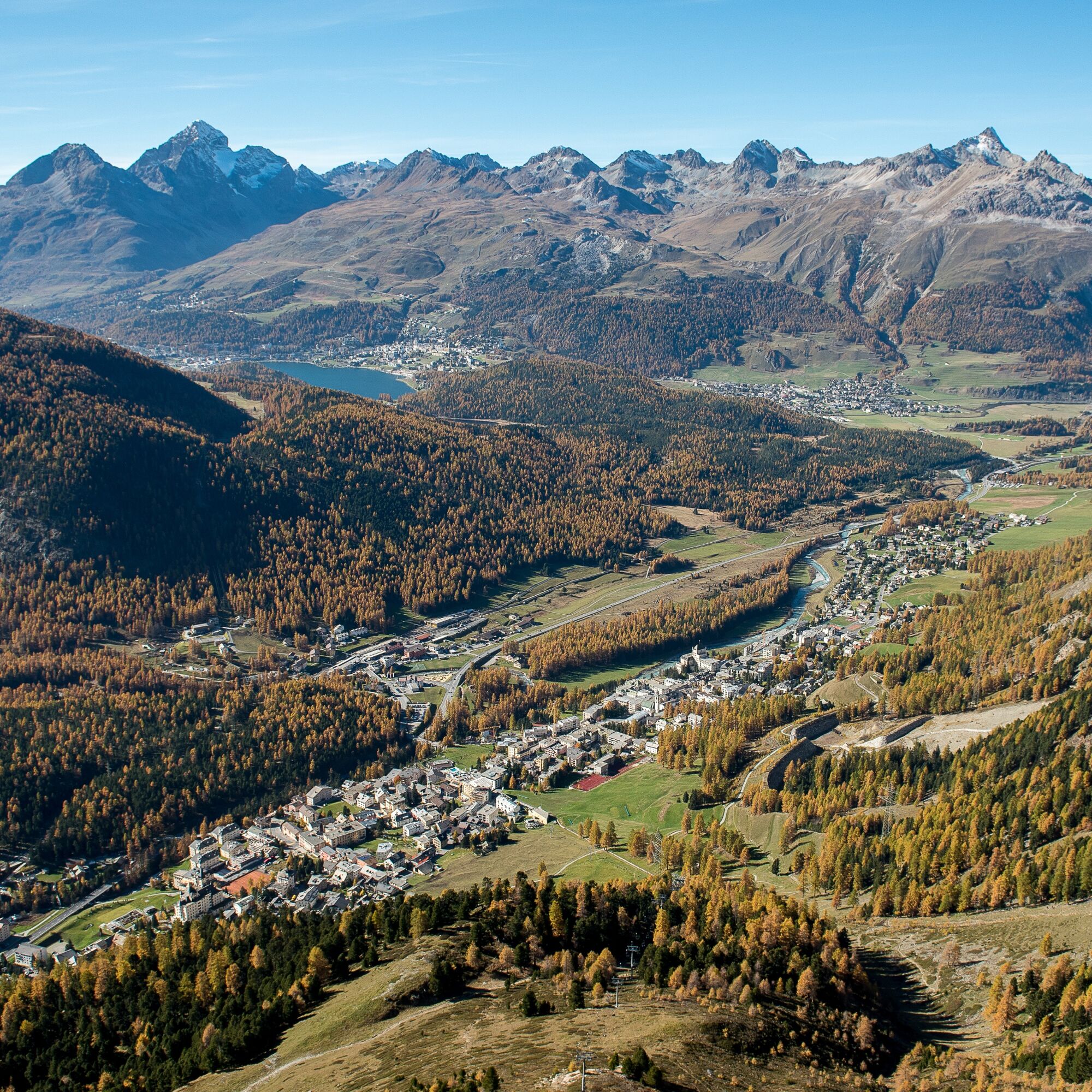
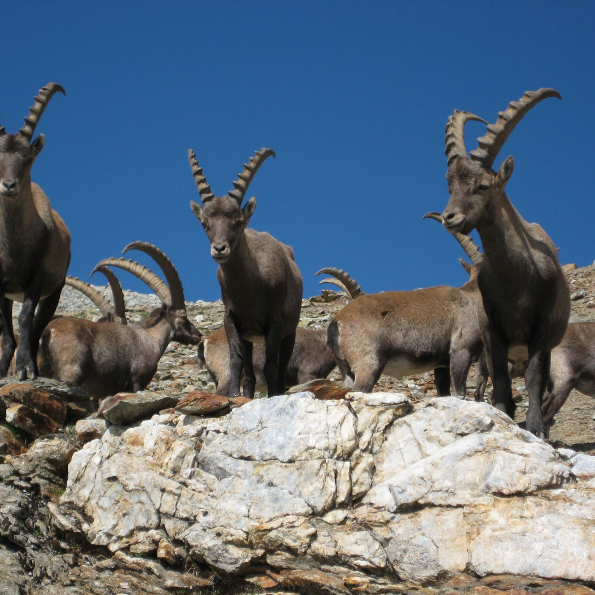
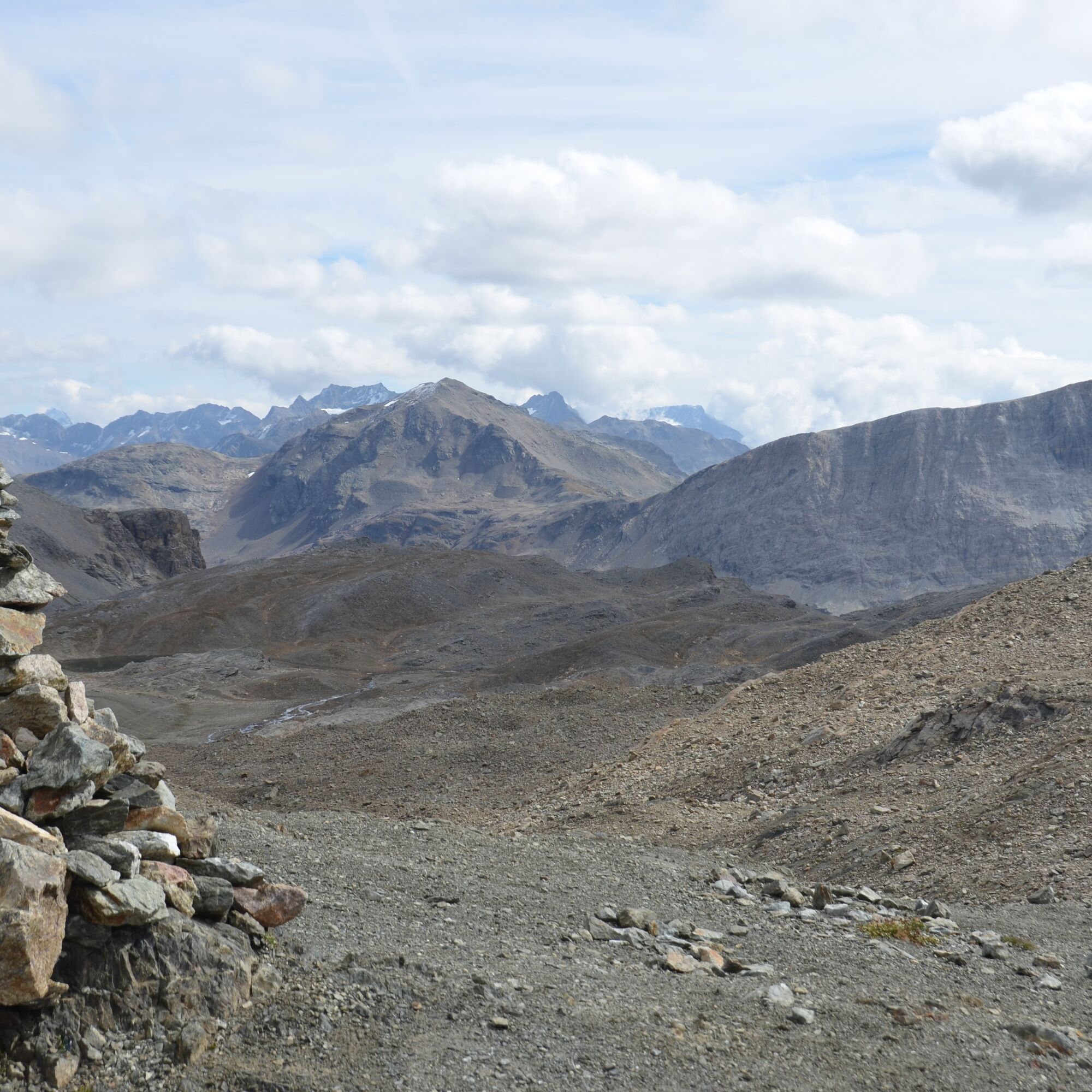
The route can be easily walked in both directions, each with its own unique character, but it is certainly worthwhile to take a break at the Paradis hut to enjoy an Engadine cake and a magnificent view. From the municipality and cultural center, the tourist information center in the heart of Pontresina, walk to the Santa Maria church and follow the Röntgenweg uphill. In spring or early summer, you may occasionally encounter herds of ibex on the path – with such a charming zigzag path through the coniferous forest, it’s easy to understand why the animals love this place! Once you reach the open pasture land below Alp Languard, follow the path up a rising ridge to the Paradis hut. Take some time to look around here before walking past the crystal-clear Lej Languard and then ascending to Fuorcla Pischa. The rocky landscape up here is unexpectedly vast yet enclosed, with shallow shimmering small lakes here and there. Take your time descending steeply into Val da Fain, while on your right the Piz Bernina looks over. Although the Bernina Diavolezza station would be a good endpoint for this walk, if you still have energy, you can also walk down the Bernina valley on the marked path, via Morteratsch, back to Pontresina instead of taking the train.
Further Information
Engadin Tourism AG
Via Maistra 1
CH-7500 St. Moritz
Phone: +41 81 830 00 01
E-Mail: allegra@engadin.ch
Website: www.engadin.ch


Municipality and Cultural Center, Pontresina - Santa Maria Church - Alp Languard - Paradis Hut - Fuorcla Pischa - Val da Fain - Diavolezza Valley Station
Tak
Snow can still be expected at Fuorcla Pischa well into June. Surefootedness and a head for heights are required.
From Pontresina, the Alp Languard chairlift leads up to Alp Languard.

Kamery internetowe z trasy
-
St. Moritz / Samedan - Muottas Muragl
-
Camping Morteratsch
-
Samedo - Engadin Golf
-
St. Moritz / Samedan - Muottas Muragl
-
Diavolezza Bergstation
-
Celerina - Cresta Palace
-
Celerina - Skiwiese Provuler
-
Samedan - Engadin Airport
-
Bergstation Lagalb
-
Sporthotel Pontresina
-
Pontresina - Hotel Walther
-
Pontresina - Langlauf und Bikezentrum
-
Pontresina - Eiskletter-Schlucht
-
Pontresina - Hotel Saratz
Uzyskaj wgląd
Zawsze na żywo z ponad 9 500 kamer internetowych. bergfex Jako użytkownik Pro, możesz teraz zobaczyć odpowiednie kamery internetowe dla wielu wycieczek w aplikacji wycieczki od. Pozwala to na bezpośredni podgląd aktualnych warunków.

Popularne wycieczki w okolicy
-
5,0
Morteratsch station - Boval Hut
średniWędrówka 10,5 km -
4,6
Diavolezza - Munt Pers
światłoWycieczki górskie 3,82 km -
4,7
Panoramic route Muottas Muragl
światłoWędrówka 6,75 km -
5,0
Muottas Muragl - Segantini hut - Pontresina
średniWędrówka 6,46 km -
4,5
Pontresina - Val Roseg - Pontresina
światłoWędrówka 13,8 km -
4,8
SAC Tschierva
światłoWędrówka 24,7 km -
4,8
Around Lake St. Moritz
światłoWędrówka 4,32 km -
4,7
Morteratsch Glacier route
światłoTrasa tematyczna 2,88 km -
4,4
Piz Palü (3.905m) – Hochtour
średniWycieczka wysokogórska 13,4 km -
4,8
Alp Languard - Segantini Hut - Muottas Muragl
średniTrailrunning 6,45 km
Wędrówki i tropienie


Nie przegap ofert i inspiracji na następne wakacje
Twój adres e-mail została dodana do listy mailingowej.





