


Trailrun village
From the village square, the dam path follows the course of the Valserrhein without major elevation changes. Then, on the route of the local vitaparcours, you pass through the woods and clearings of the...
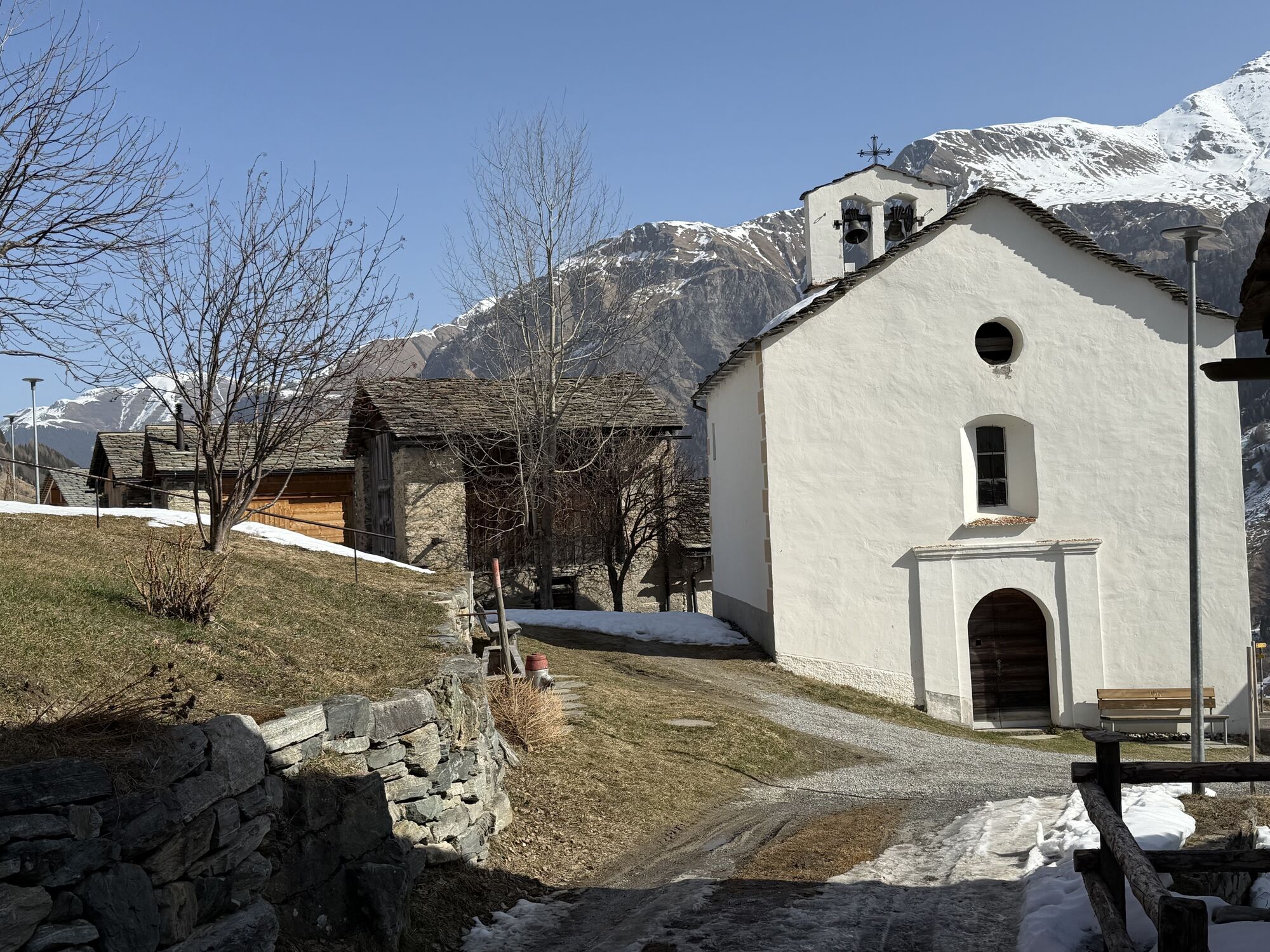
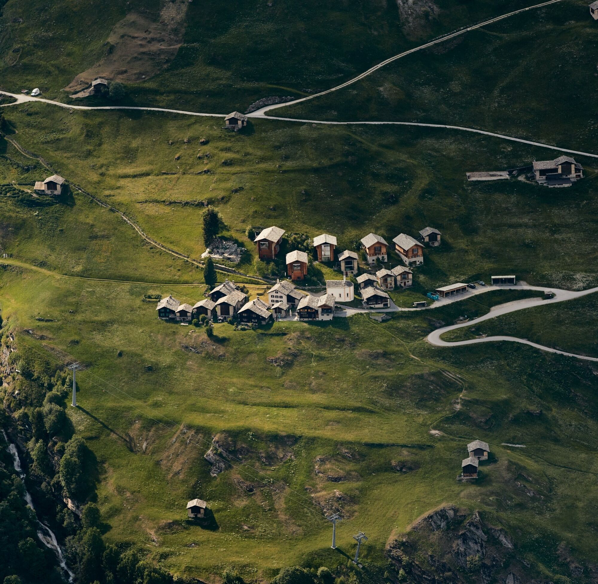
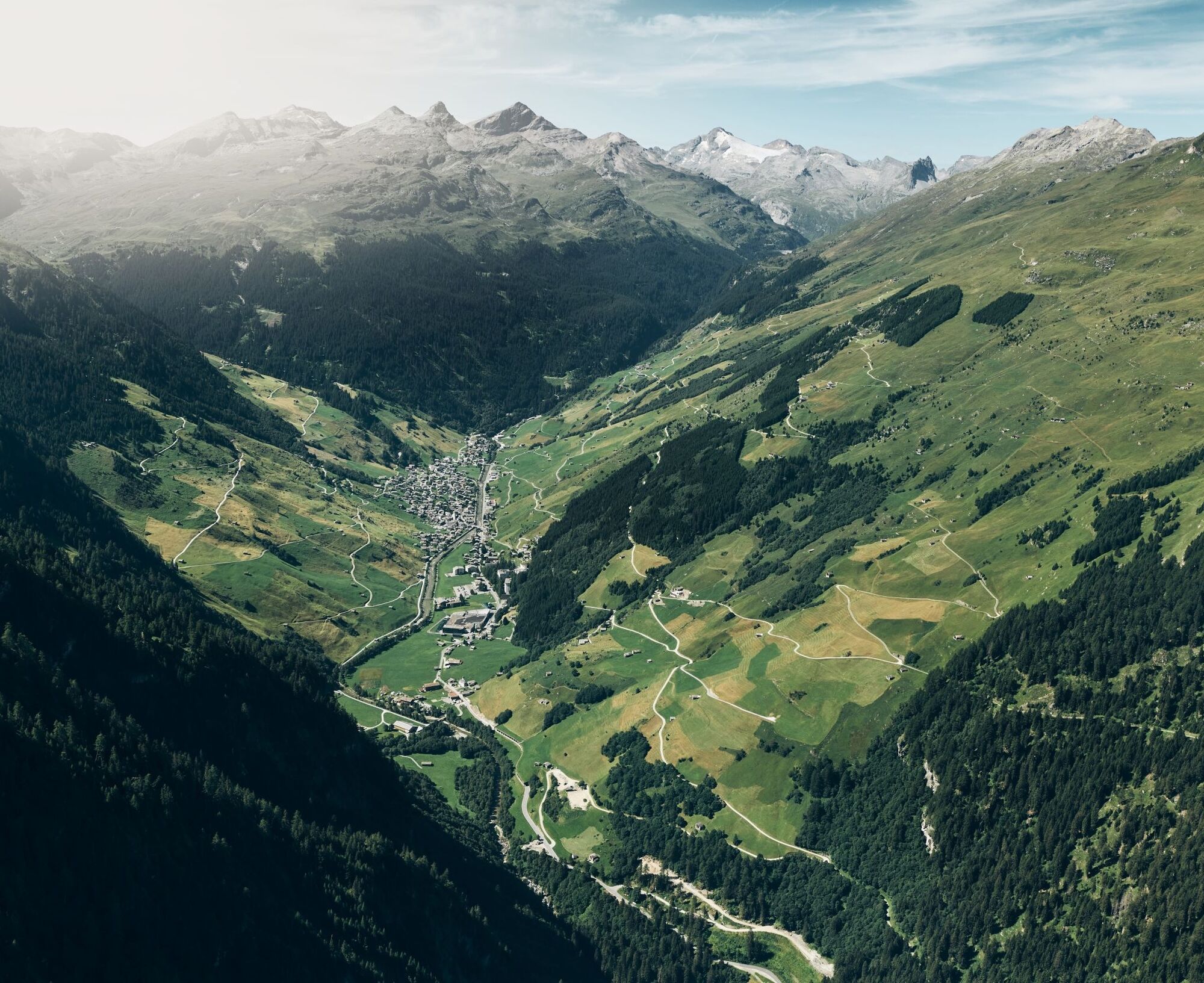
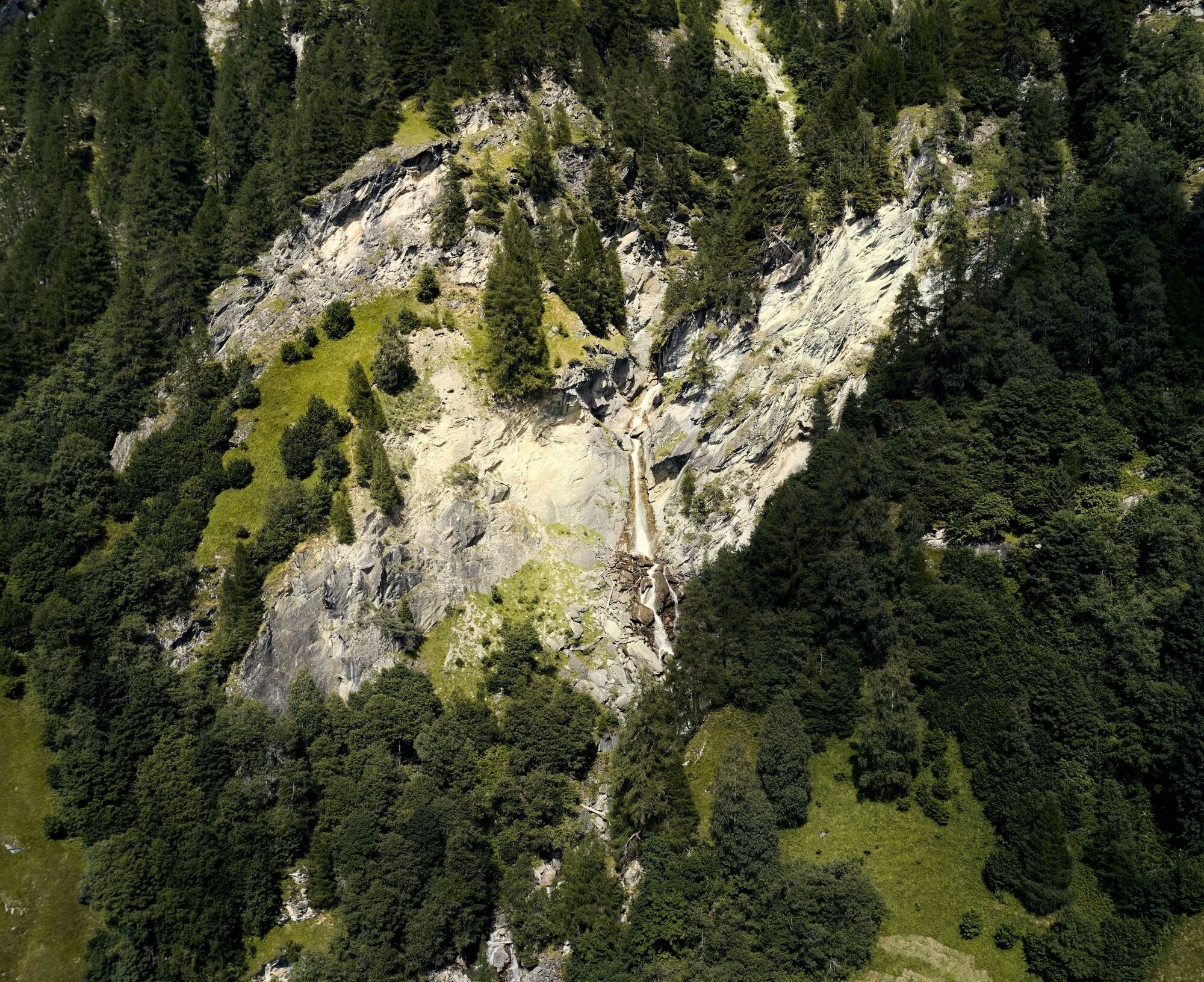
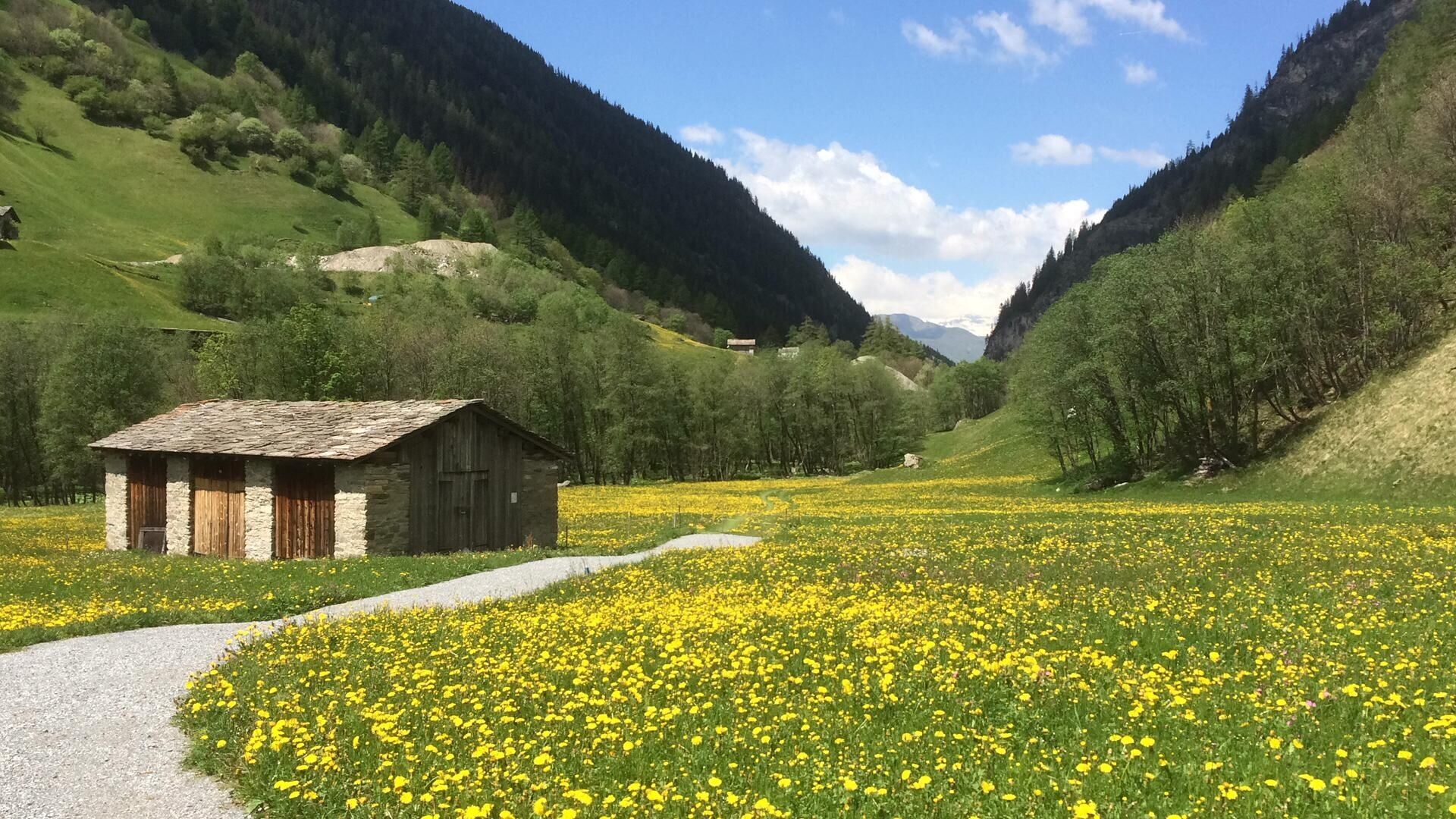
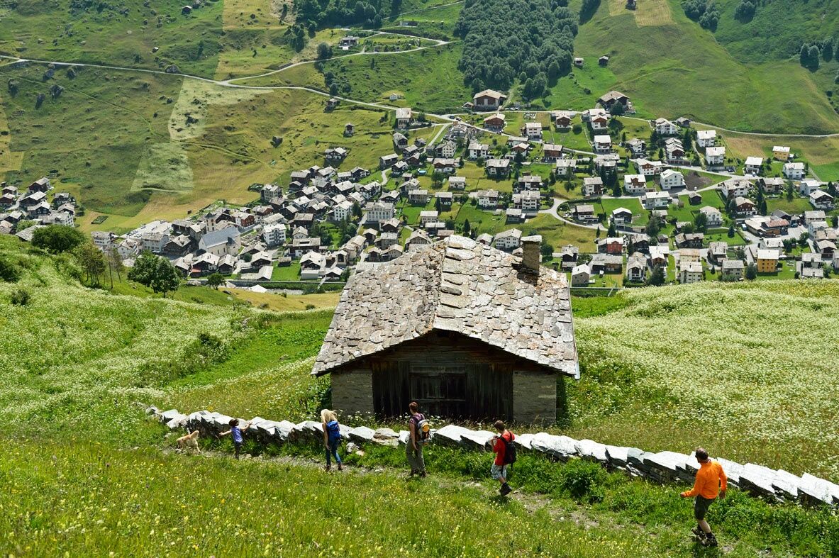
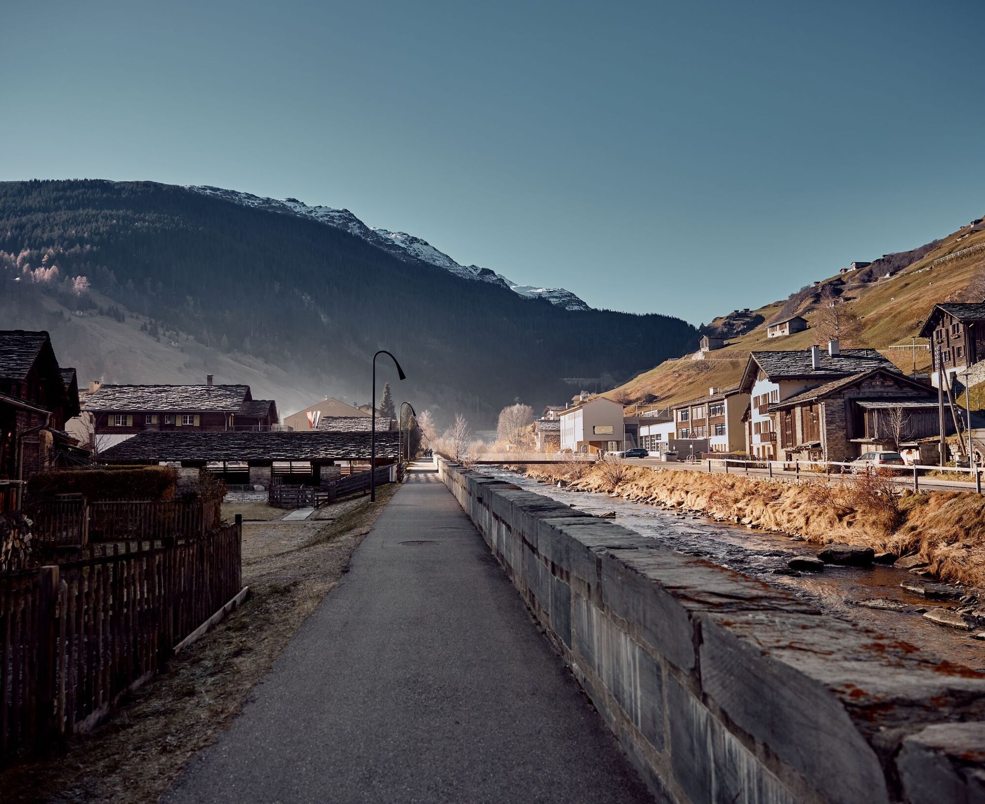
From the village square, the dam path follows the course of the Valserrhein without major elevation changes. Then, on the route of the local vitaparcours, you pass through the woods and clearings of the idyllic Gäud region, with a view of the roaring Tomülbach as a highlight. After a short section on the main road further downstream, you reach the St. Nikolaus chapel, where the valley floor is left behind. The natural road then steadily ascends to the hamlet of Soladüra and further uphill through a short forest section to Zorts towards Leis. After 1 km, the hamlet of Leis is the last stop before the attractive hiking trail leads back over steep slopes to the innermost village part Valé. Downstream again via the dam path, the village square is reached once more.

Dorfplatz 1254 m - Gäud 1245 m - Hansjola 1254 m - Wolfazu 1315 m - Soladüra 1382 m - Zorts 1551 m - Leis 1526 m - Valé 1271 m - Dorfplatz 1252 m.
Running backpack, drink, bars, sun protection, mobile phone
Via Chur-Reichenau-Flims-Laax-Ilanz to Vals.
To Vals by PostAuto coming from Ilanz.
"Bidem" parking lot (paid) near the village square.
Stop at Restaurant Ganni in Leis
Popularne wycieczki w okolicy
-
5,0
Hiking route Suspension Bridge Val da Tersnaus
średniWędrówka 3,24 km -
5,0
Panorama route
światłoWędrówka 5,39 km -
3,3
3-lake hike
średniWędrówka 12,8 km -
5,0
Winter hike Gadastatt - Frunt - Zerfreila (Panorama trail)
światłoWędrówka zimą 5,36 km -
Panoramic route between Piz Mundaun and Péz Sezner
średniWędrówka 6,75 km -
5,0
2-day hike Greina high plateau
średniWędrówka 14,9 km -
5,0
Southeast Switzerland Hiking Day Vals 2017
światłoWędrówka 11,8 km -
Piz Terri, 3.149 m
średniWycieczka wysokogórska 6,92 km -
5,0
Hike Vrin - Uors over the suspension bridge Val da Silgin
średniWędrówka 12,3 km -
3,5
Places of Magic - Lumbrein
średniWędrówka 8,74 km
Wędrówki i tropienie


Nie przegap ofert i inspiracji na następne wakacje
Twój adres e-mail została dodana do listy mailingowej.