


Trailrun Valserberg

Immediately after the start at the Dorfplatz, the first steep ascent is tackled. Shortly afterwards, the hiking trail is reached, which leads past the Rongg chapel and the "Abersch Hus" into the Peiltal...
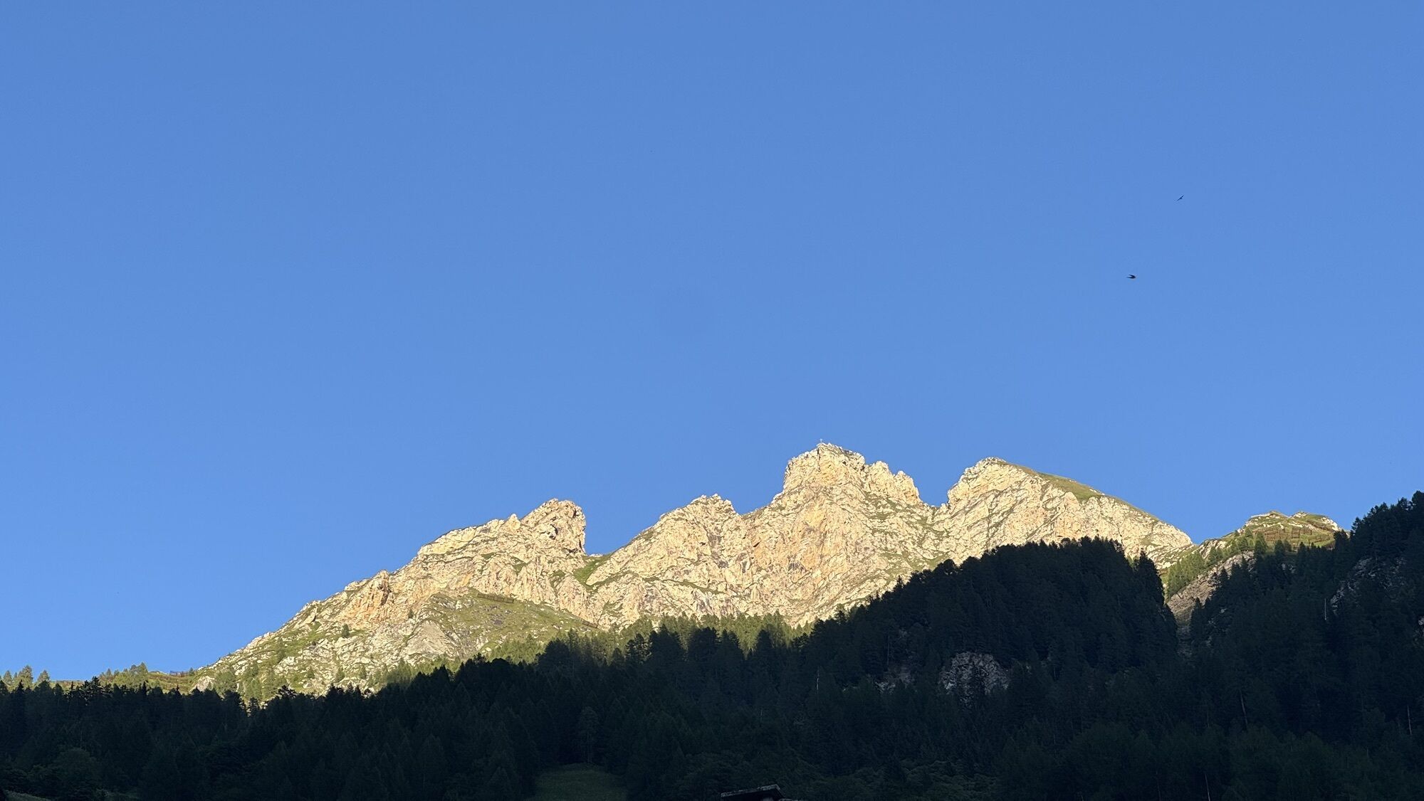
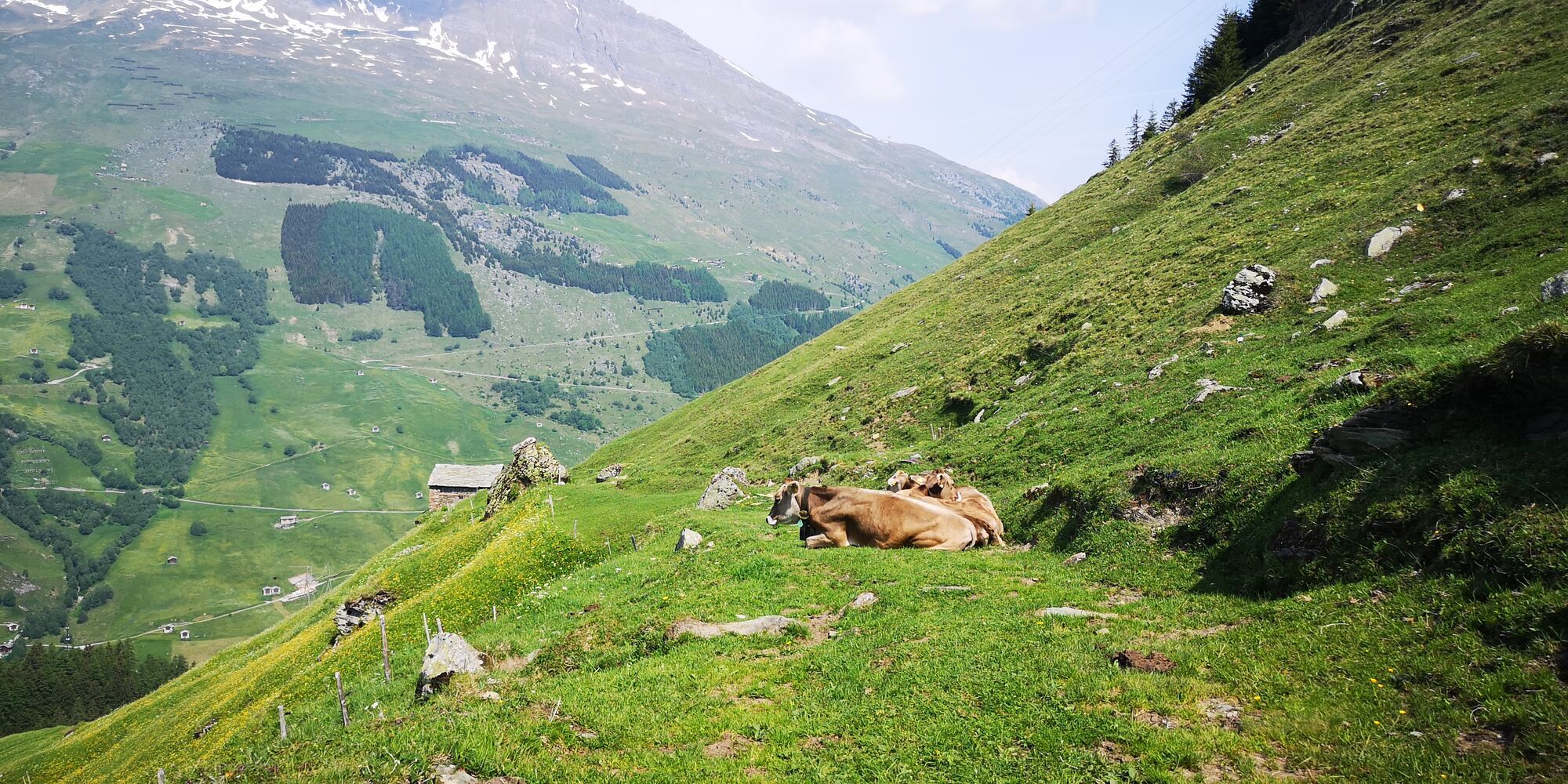
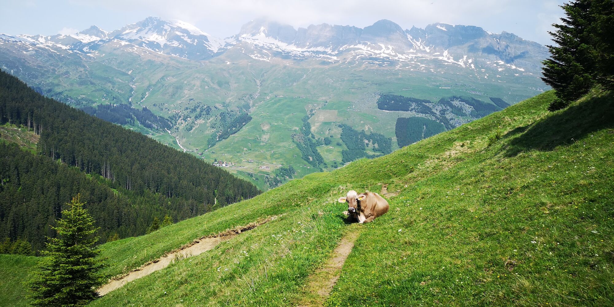
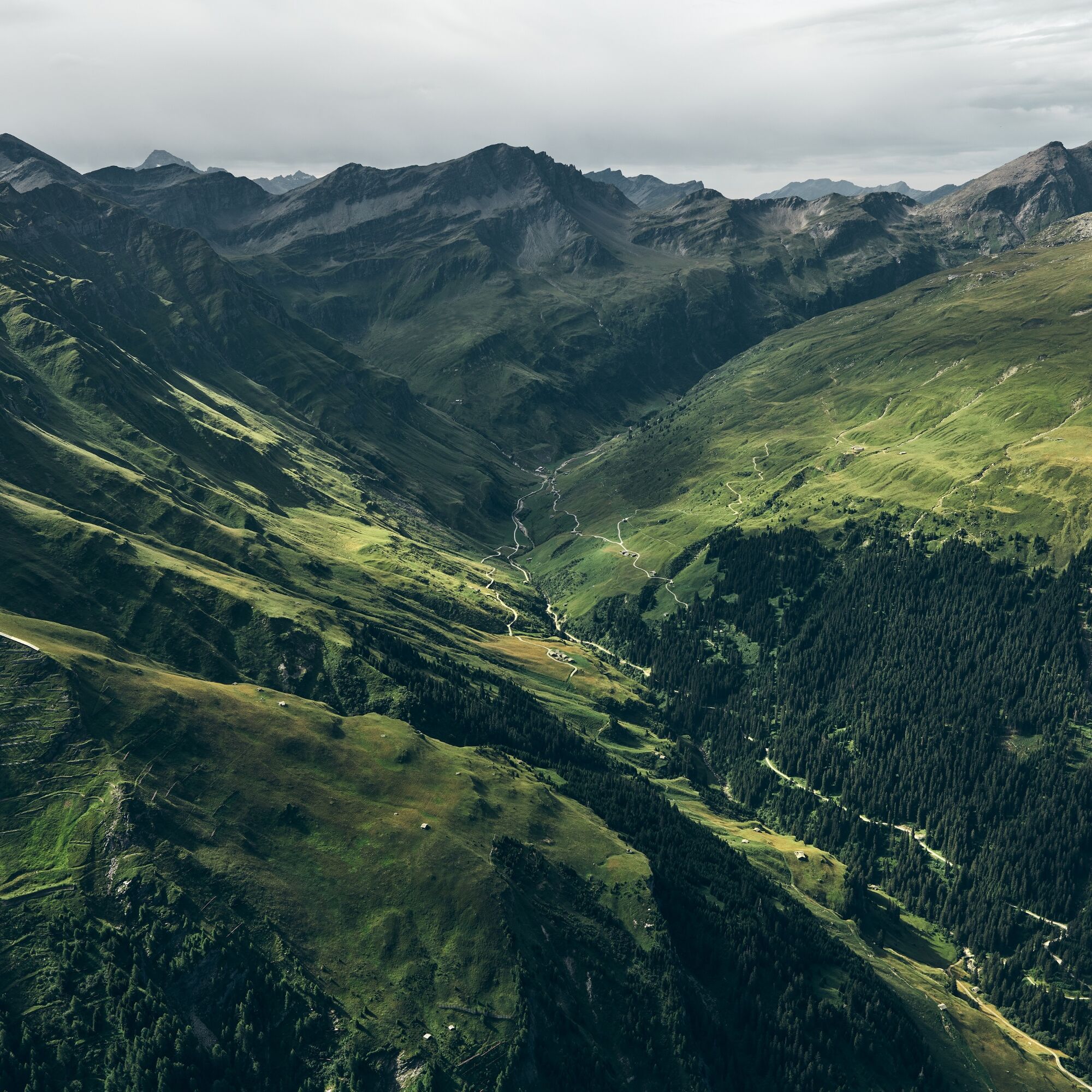
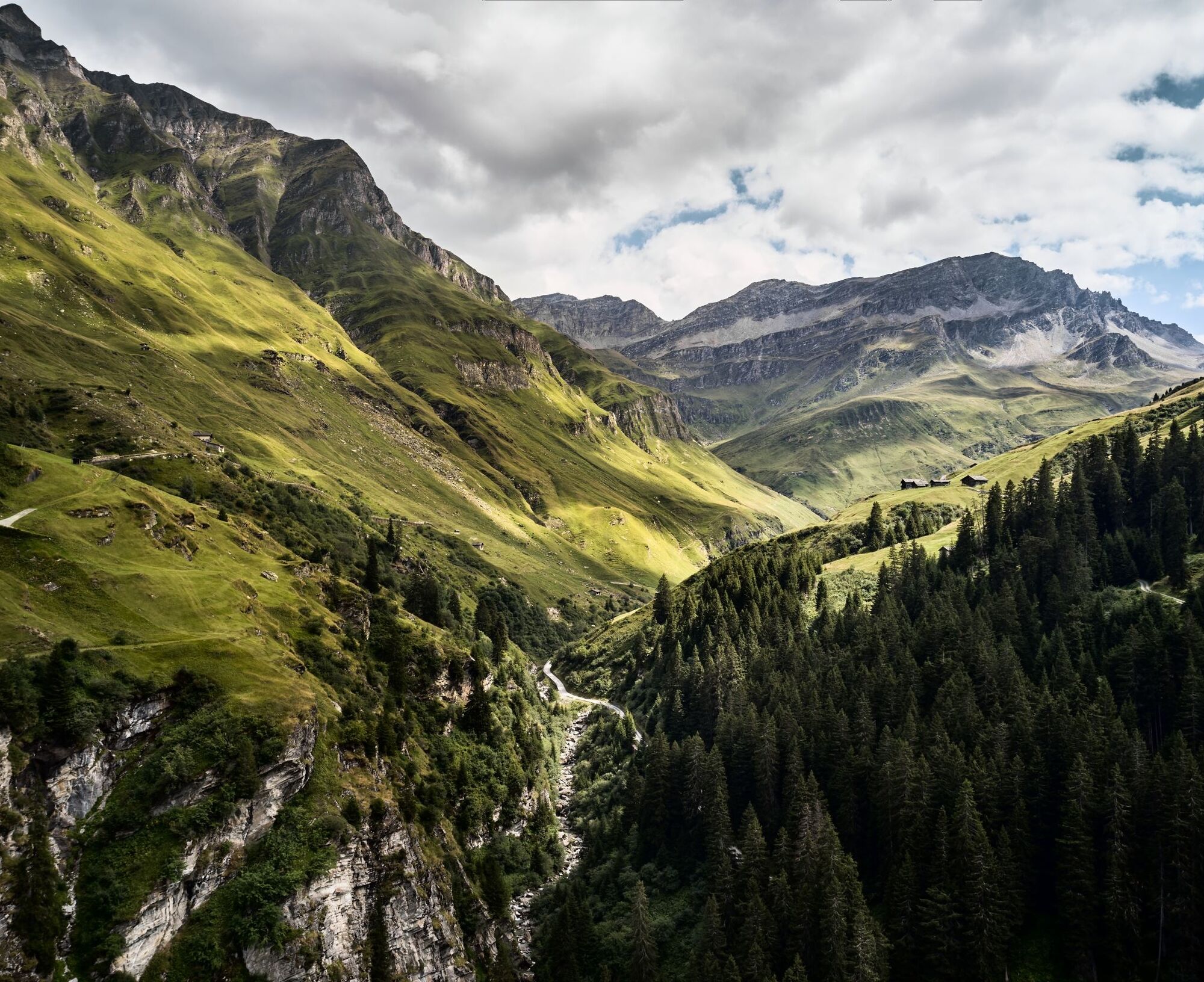
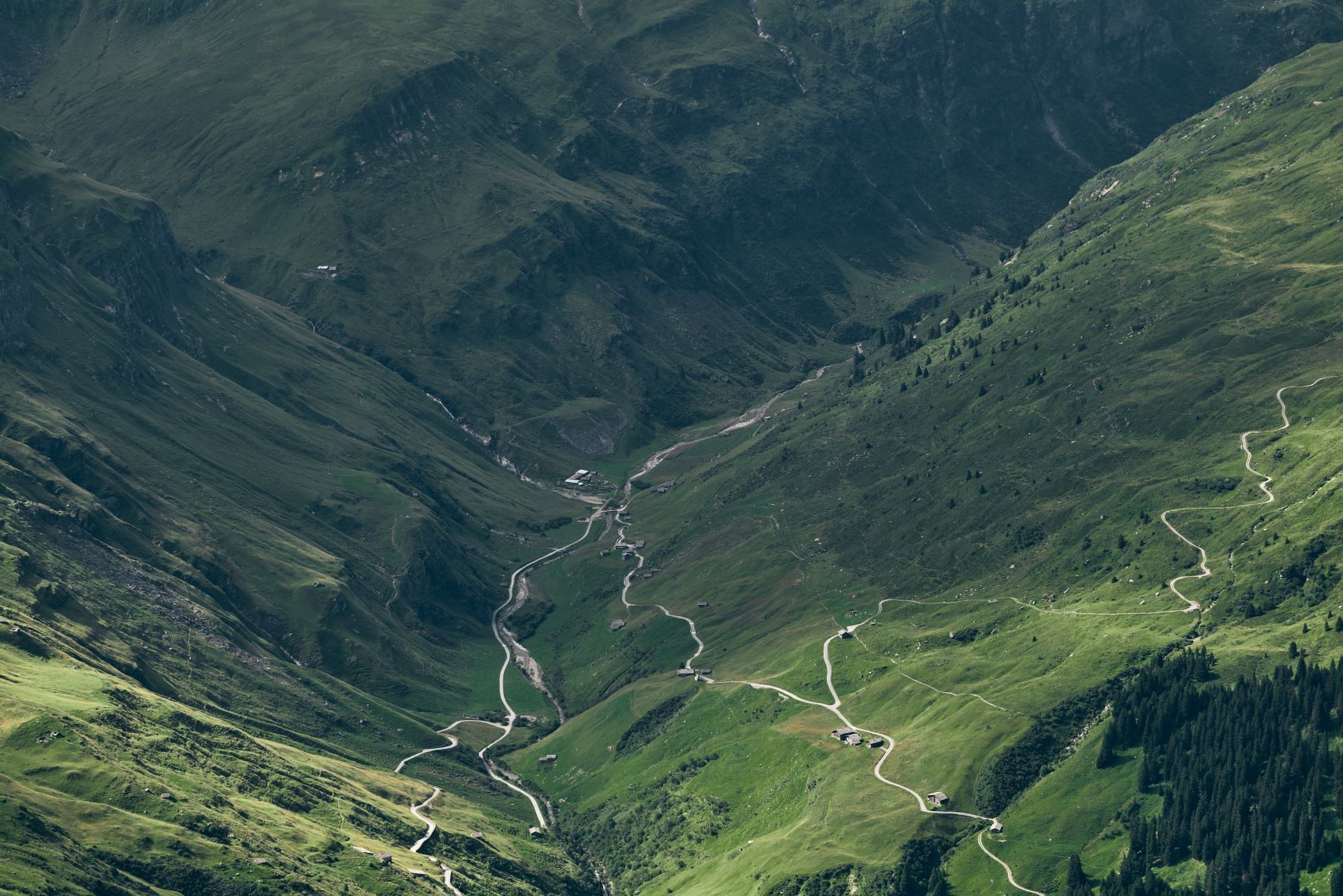
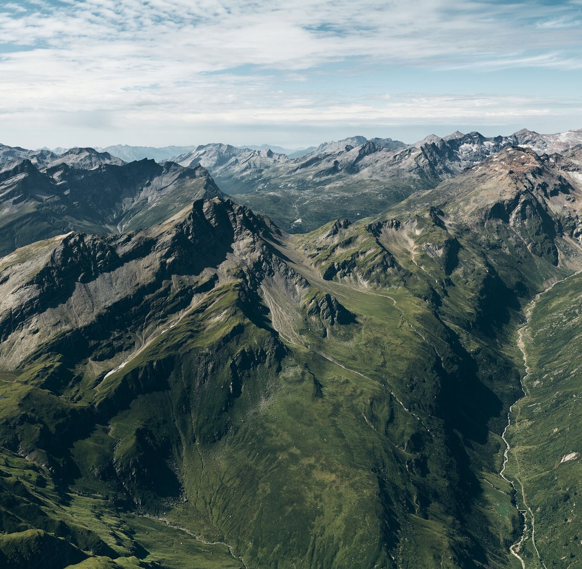
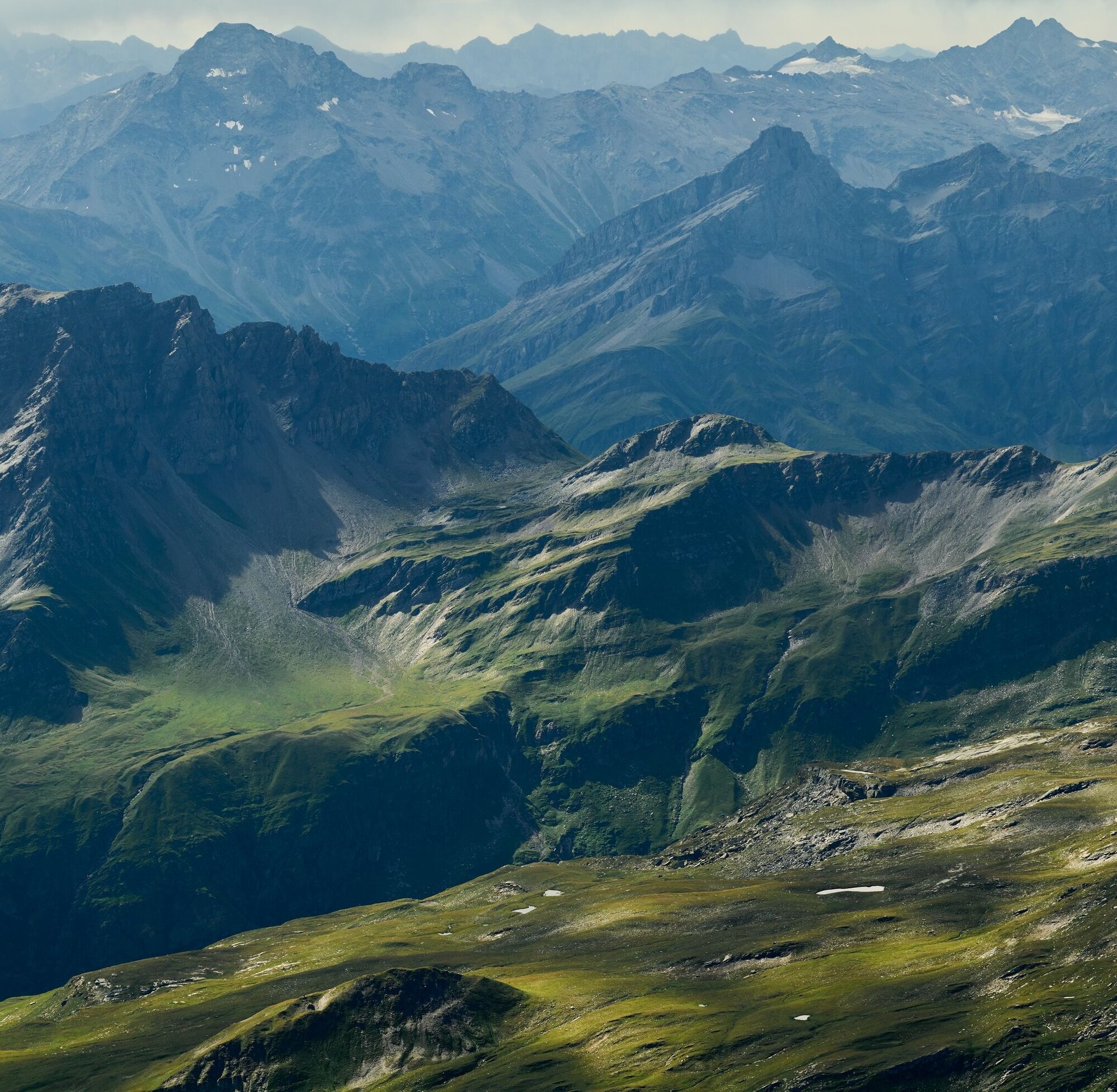
Immediately after the start at the Dorfplatz, the first steep ascent is tackled. Shortly afterwards, the hiking trail is reached, which leads past the Rongg chapel and the "Abersch Hus" into the Peiltal valley. Further inland and now ascending less steeply, the Maiensäss settlement "Uf der Matta" is passed and finally, located directly above Inder Peil, the Stafel of Alp Wallatsch is reached. The view now opens to the impressive mountain landscape of the Fanella and the path leads evenly over the alpine meadows. The increasingly rocky terrain coincides with the sparse aesthetics of the historic military installations located below the Valserberg. Upon reaching the pass height, a wonderful view of Passo del San Bernardino and the surrounding peak world of the Valsertal and Rheinwald is offered. The following 900 meters of altitude descent to Hinterrhein can be mastered via well-developed single trails and alpine roads.

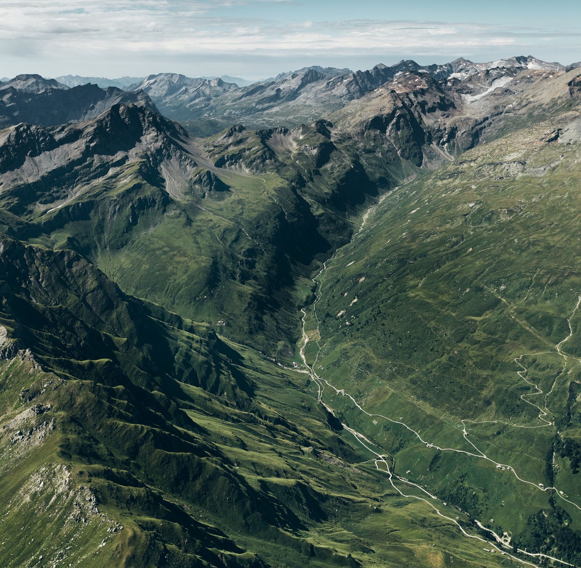
Dorfplatz 1252 m. - Abersch Hus 1584 m. - Uf der Matta 1735 m. - Alp Wallatsch 1873 m. - Zum Hirt 2220 m. - Valserberg 2503 m. - Hinterrhein 1621 m.
Possibly return to Vals by PostAuto
Running backpack, provisions, headlamp (recommended), wind jacket, mobile phone
Via Chur-Ilanz to Vals
Arriving by PostAuto from Ilanz to Vals.
Parking lot Bergbahn Vals CHF 5 / day
"Bidem" parking lot near the Dorfplatz (subject to charges).
Popularne wycieczki w okolicy
-
5,0
Hiking route Suspension Bridge Val da Tersnaus
średniWędrówka 3,24 km -
3,3
3-lake hike
średniWędrówka 12,8 km -
5,0
Panorama route
światłoWędrówka 5,39 km -
Piz Terri, 3.149 m
średniWycieczka wysokogórska 6,92 km -
5,0
3-Tagestour Greina-Lucomagno: Vrin - Capanna Scaletta (Etappe 1)
ciężkidługodystansowy szlak pieszy 17,2 km -
5,0
Southeast Switzerland Hiking Day Vals 2017
światłoWędrówka 11,8 km -
5,0
Winter hike Gadastatt - Frunt - Zerfreila (Panorama trail)
światłoWędrówka zimą 5,36 km -
Furggelti 2712m
ciężkiWędrówka 18,7 km -
4,0
Um Su round route, Lumbrein
średniWędrówka 16,9 km -
5,0
Drie merenwandeling vals
średniWędrówka 12,1 km
Wędrówki i tropienie


Nie przegap ofert i inspiracji na następne wakacje
Twój adres e-mail została dodana do listy mailingowej.