


Vals Autumn Run
Zdjęcia naszych użytkowników
-

 © Jonas HorbachUtworzono dnia 31.05.2025
 -
 © Jonas HorbachUtworzono dnia 31.05.2025
 -
 © Jelena KuehnUtworzono dnia 07.03.2026
 -
 © Jelena KuehnUtworzono dnia 07.03.2026
 -
 © Jelena KuehnUtworzono dnia 07.03.2026
 -
 © Jelena KuehnUtworzono dnia 07.03.2026
 -
 © Jelena KuehnUtworzono dnia 07.03.2026
 -
 © Jelena KuehnUtworzono dnia 07.03.2026
 -
 © Jelena KuehnUtworzono dnia 07.02.2026
 -
 © Jelena KuehnUtworzono dnia 07.02.2026
 -
 © Jelena KuehnUtworzono dnia 07.02.2026
 -
 © Jelena KuehnUtworzono dnia 07.02.2026
 -
 © Jelena KuehnUtworzono dnia 07.02.2026
 -
 © Jelena KuehnUtworzono dnia 07.02.2026


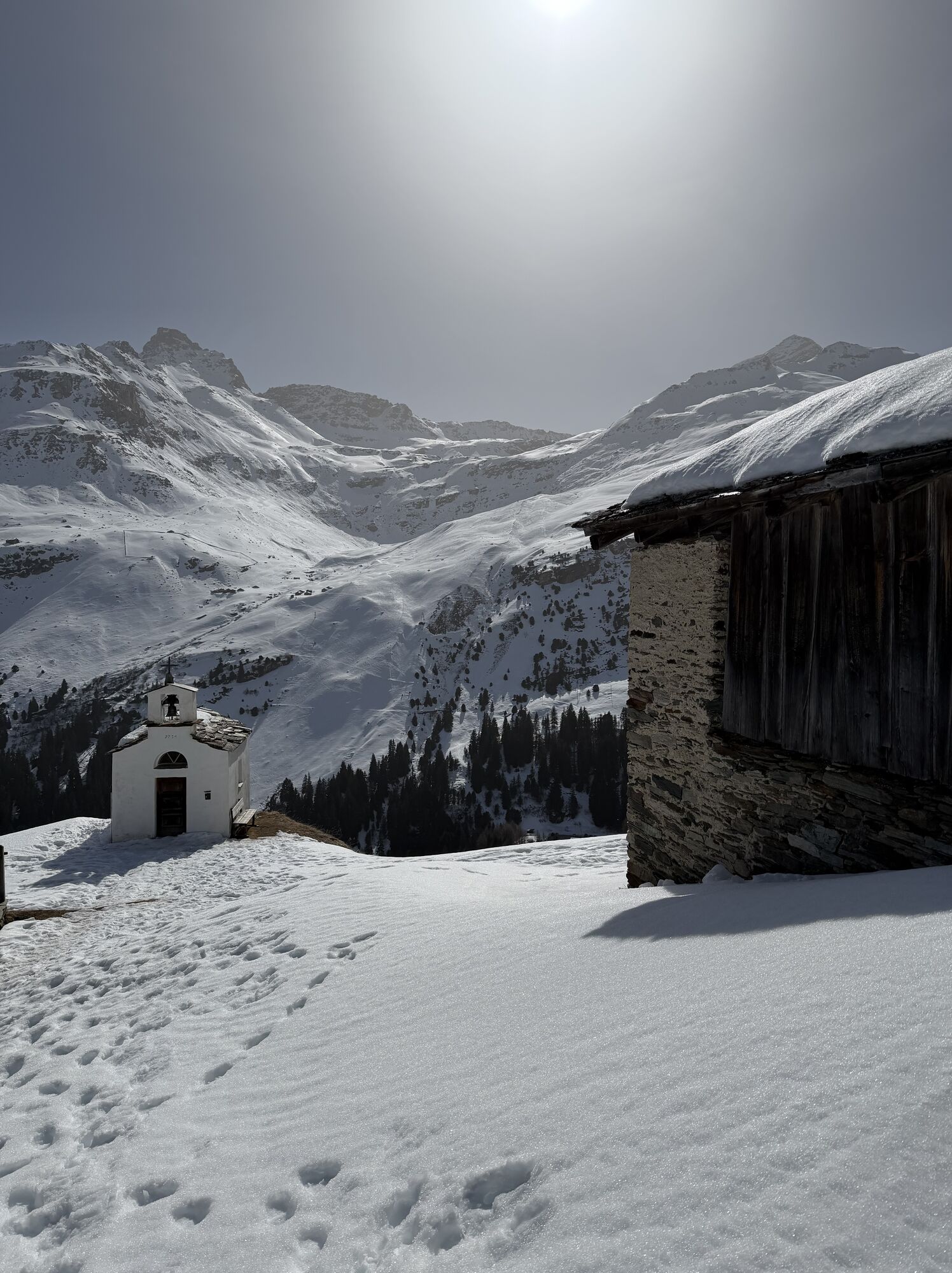
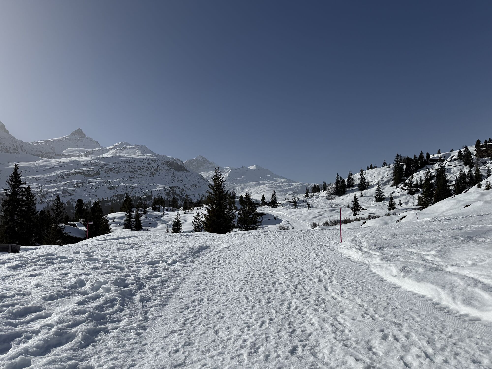


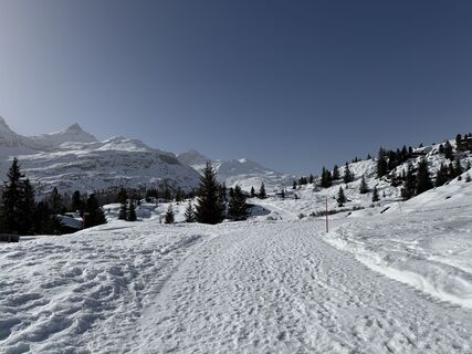
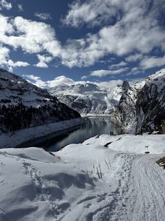
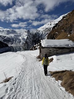
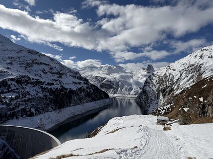
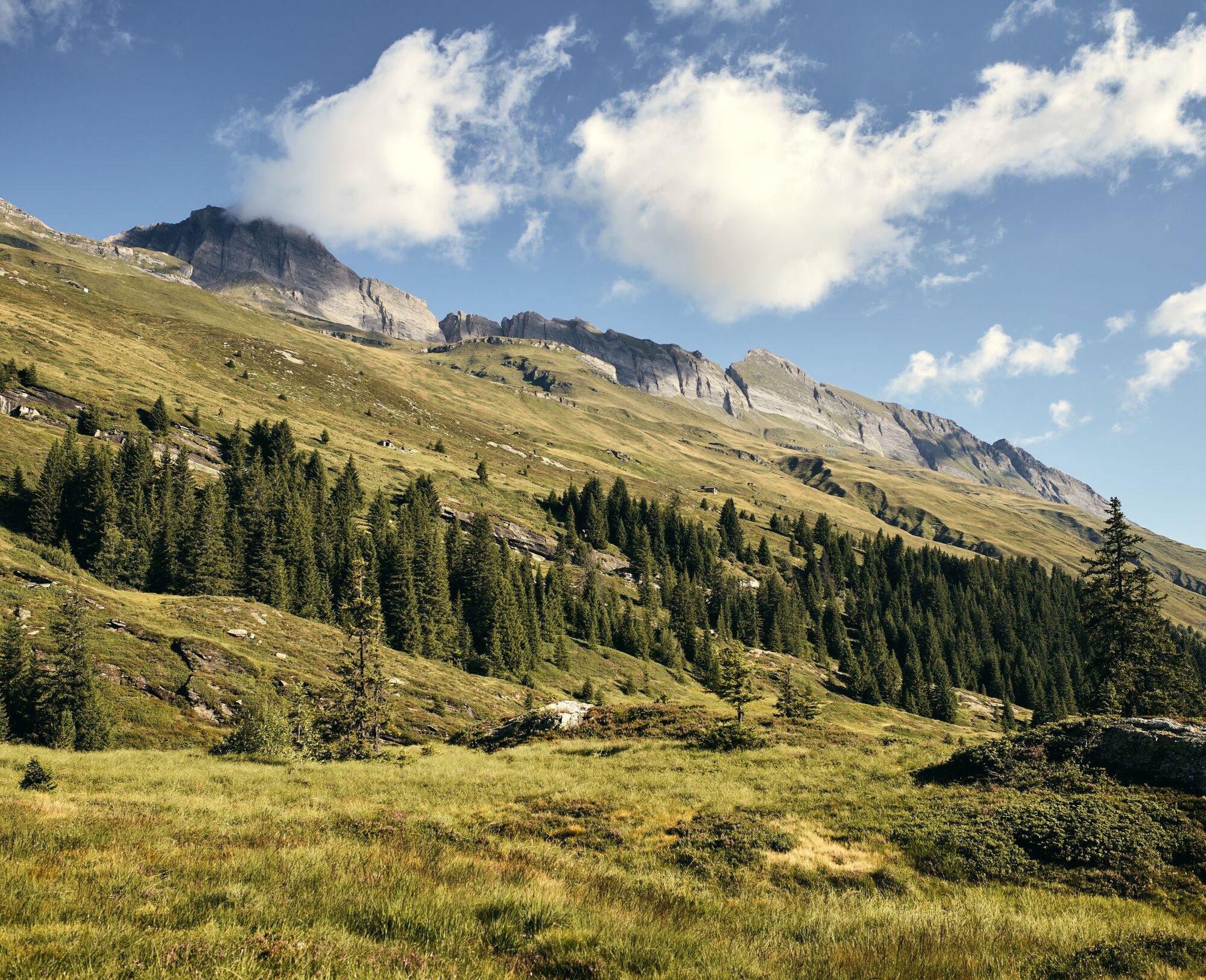
After starting at the village square in Vals, the route leads through the village to the old Zerfreila path, an idyllic trail leading to Zerfreila. Along the way, the most extensive forested area of the...
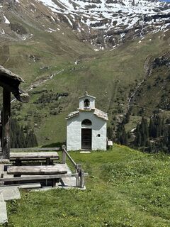
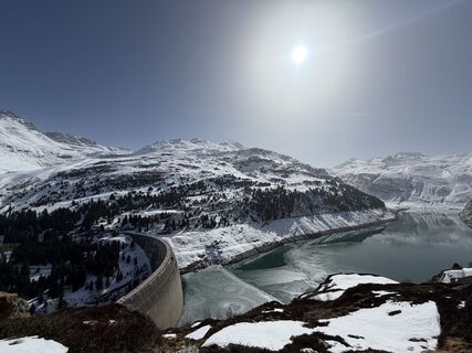
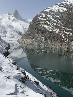
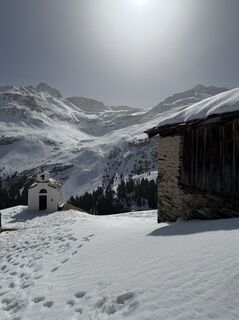
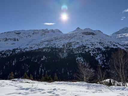
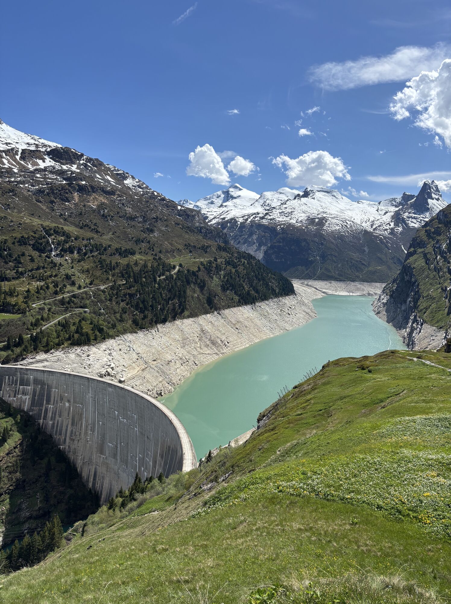
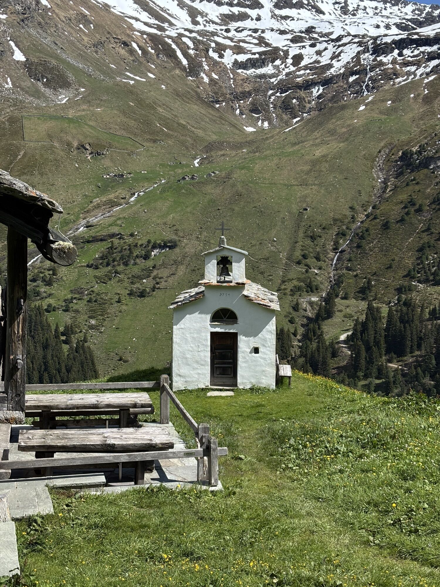
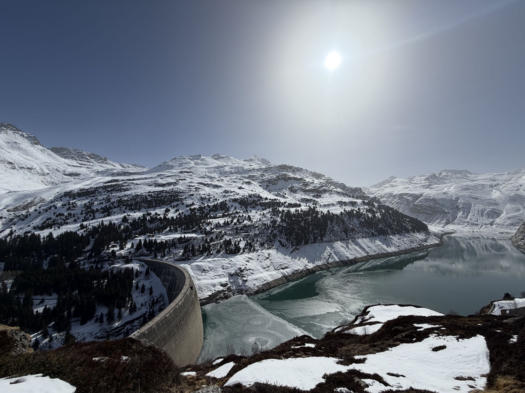
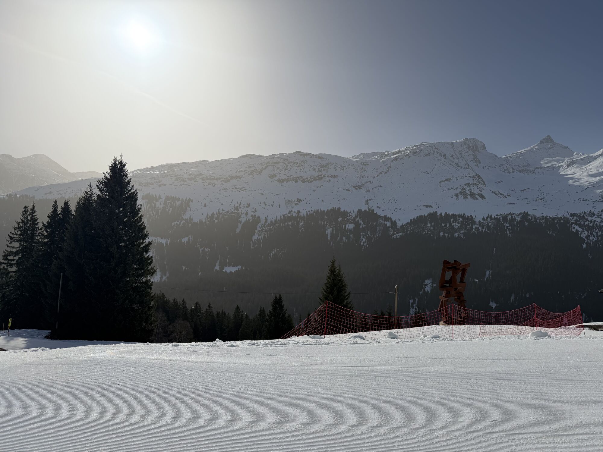
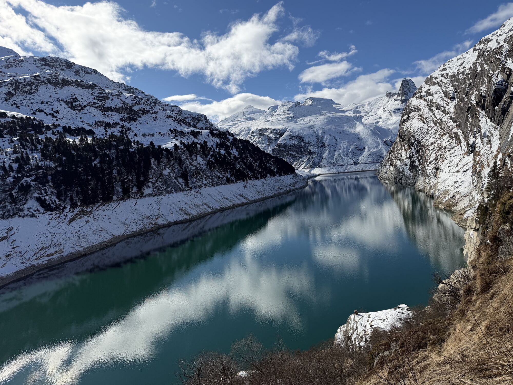
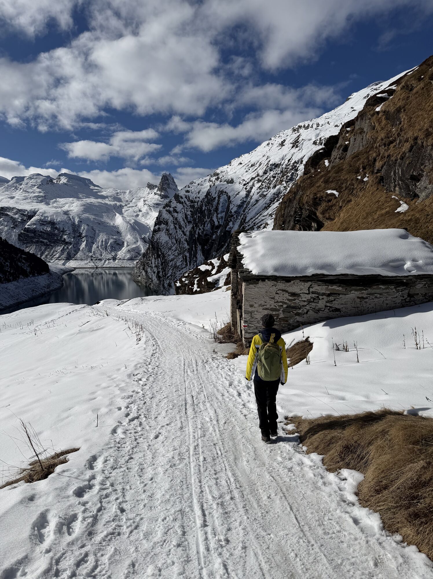
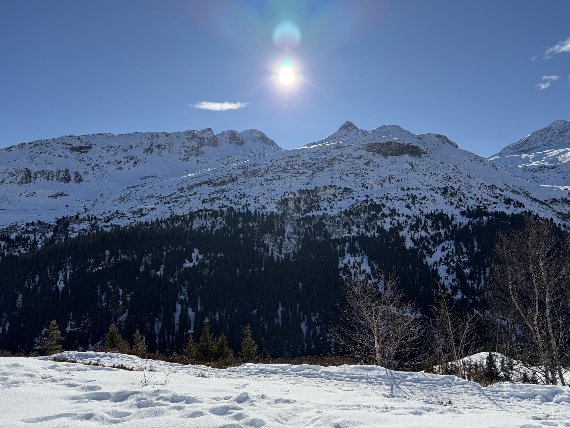
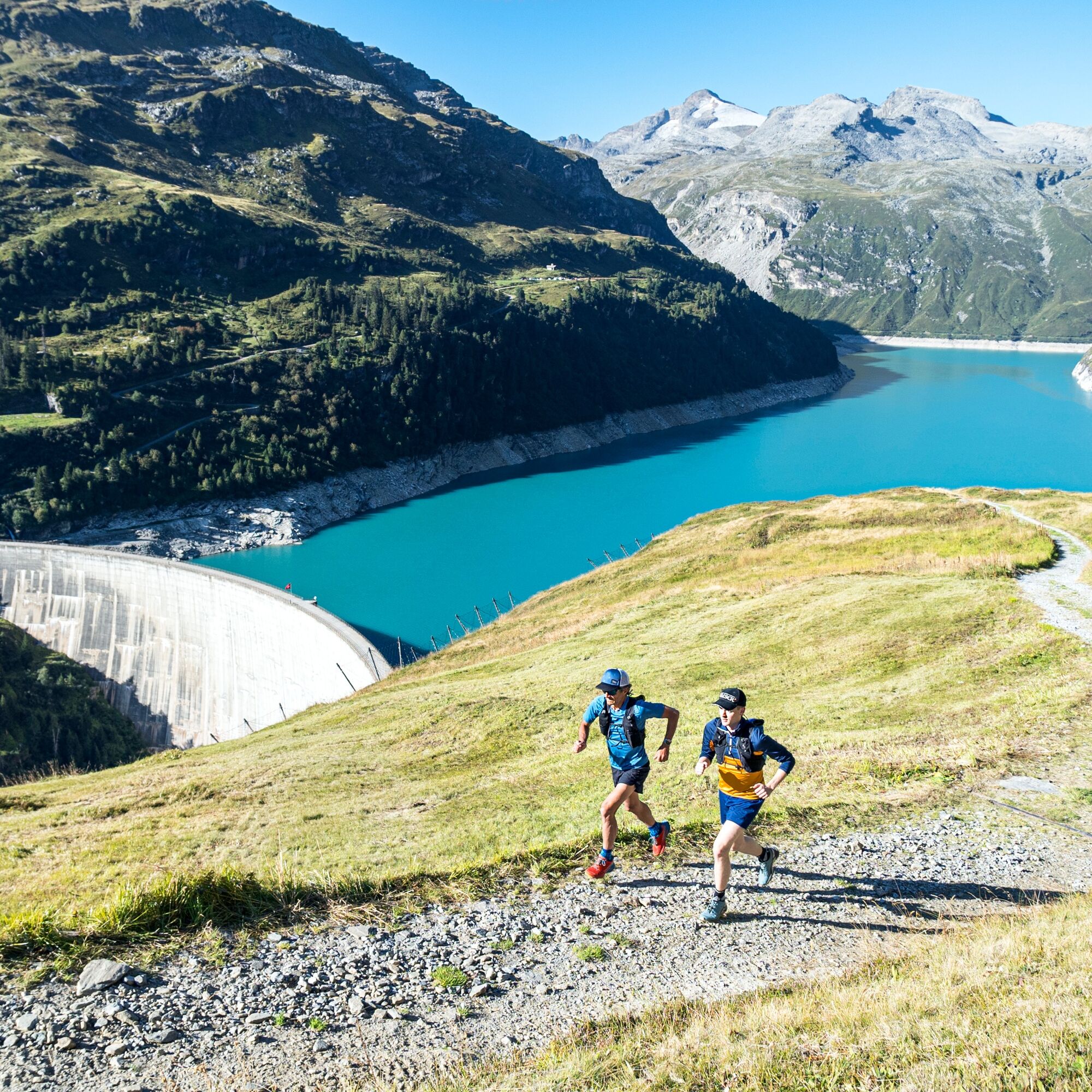
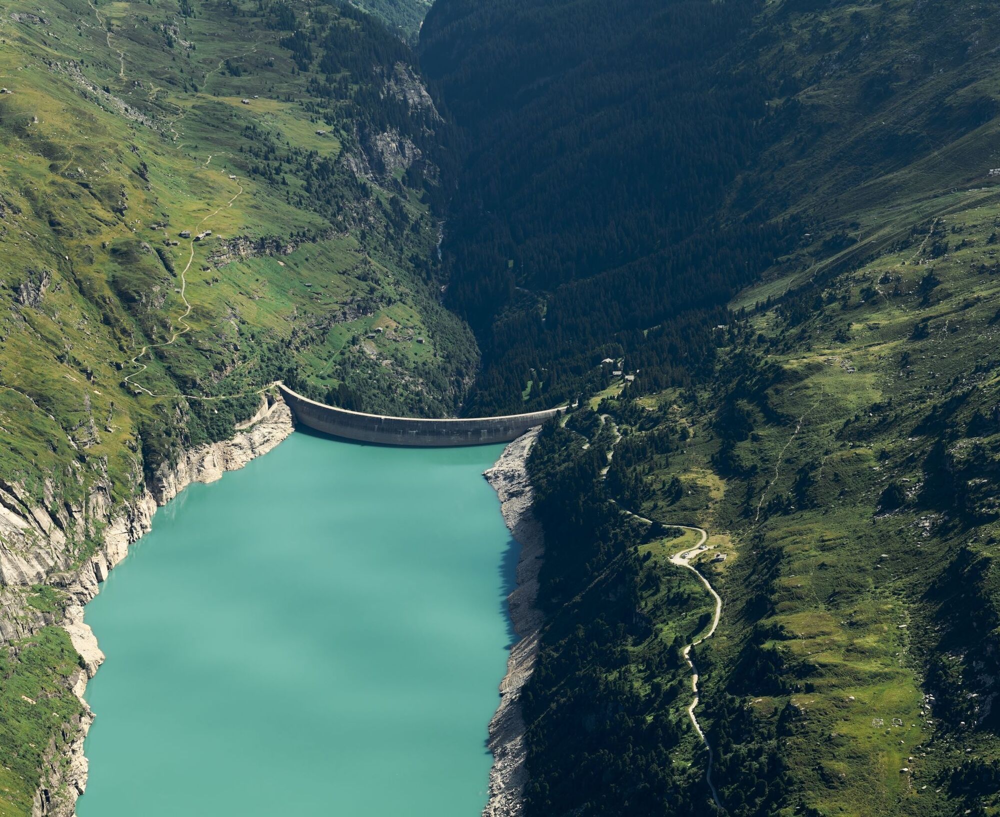
After starting at the village square in Vals, the route leads through the village to the old Zerfreila path, an idyllic trail leading to Zerfreila. Along the way, the most extensive forested area of the Valsertal is largely crossed, giving this first half of the route a very quiet and mysterious atmosphere. Passing refreshing streams and solitary forest chapels, the steepest sections are already mastered early on. Later, the path shows a gentler and varied ascent. Only shortly before Zerfreila does the narrow gorge finally widen, and the dense forest is left behind upon reaching the peaceful clearings in the Bleika for the first time. Soon follows the Zervreila restaurant, and via a short road section, the heart of the route is reached at the dam. The tallest structure in the Valsertal at 151m offers a spectacular panorama of the reservoir and the surrounding mountains including Zerfreila- and Güferhorn. The subsequent ascent up to the picturesque hamlet of Frunt is as short as it is steep and forms a central challenge. Finally, the popular panoramic hiking trail crosses the raised bog area Kristalloch and reaches the goal at the mountain station Gadastatt without major differences in altitude.

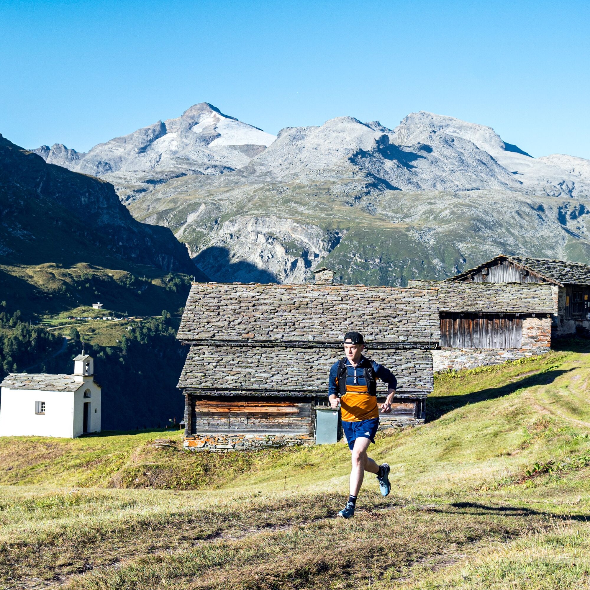
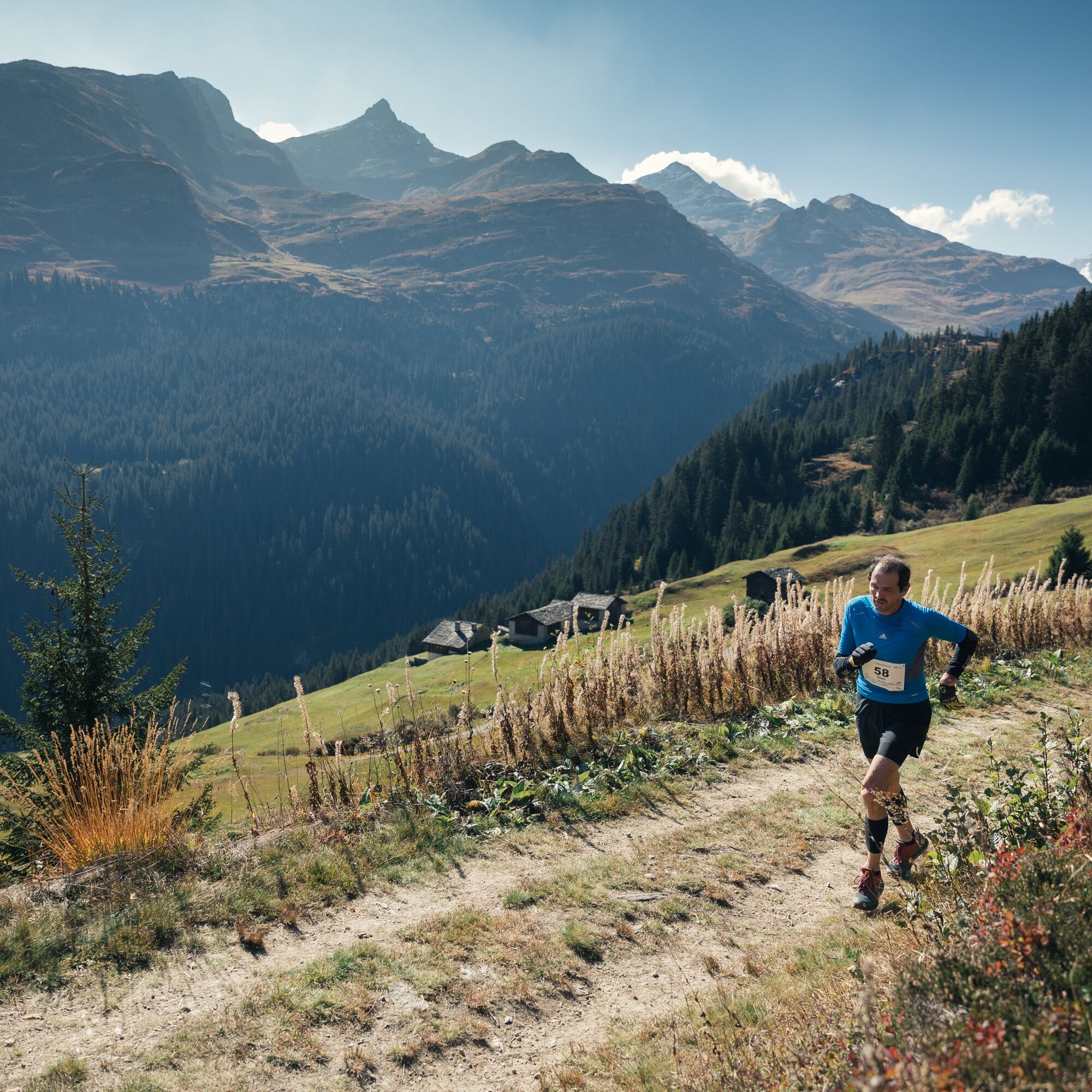
Village square 1254 m - Vals valley station 1270 m - Zervreila dam 1863 m - Frunt 1990 m - Kristallloch 1869 m - Gadastatt 1817 m
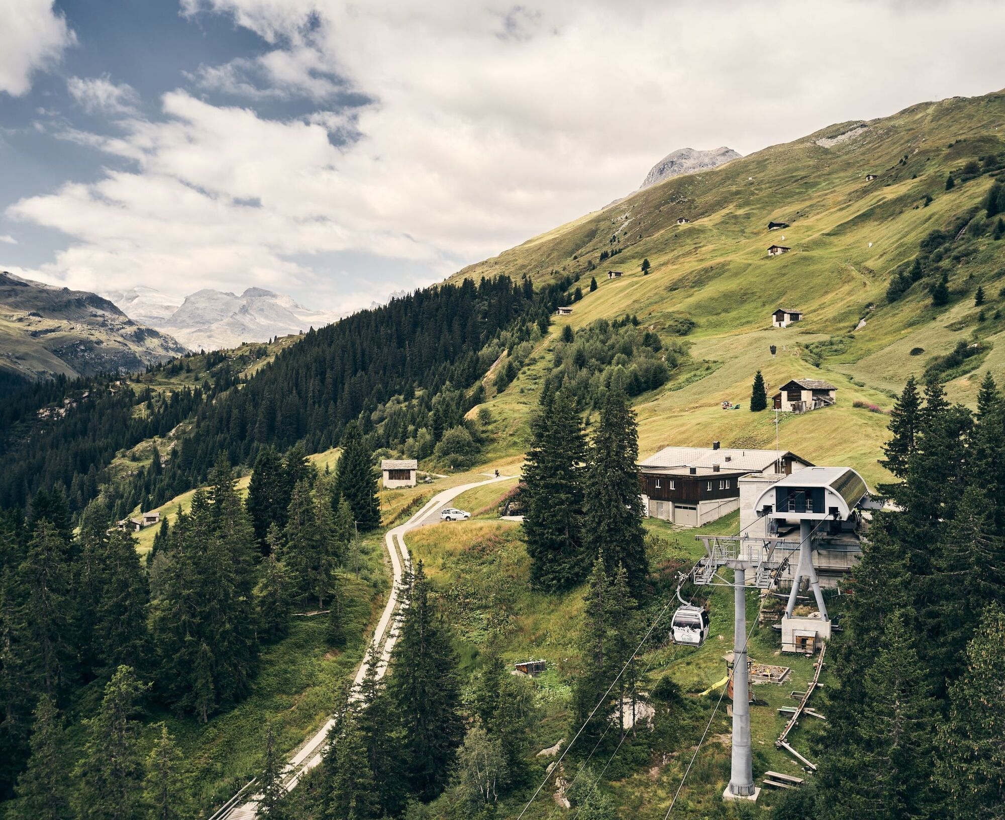
Ride with the free gondola down to the valley.
Tak
By car from Chur via Reichenau, Flims, Laax, Ilanz to Vals.
By RhB to Ilanz and then by postal bus to Vals.
Parking is available at the Bidem as well as at the valley station of the cable car.
The 7th Vals Autumn Run takes place on October 5, 2025.
Popularne wycieczki w okolicy
-
5,0
Panorama route
światłoWędrówka 5,39 km -
Giro della Greina
Wędrówka 50,6 km -
5,0
Hiking route Suspension Bridge Val da Tersnaus
średniWędrówka 3,24 km -
3,3
3-lake hike
średniWędrówka 12,8 km -
Panoramic route between Piz Mundaun and Péz Sezner
średniWędrówka 6,75 km -
5,0
Winter hike Gadastatt - Frunt - Zerfreila (Panorama trail)
światłoWędrówka zimą 5,36 km -
Piz Terri, 3.149 m
średniWycieczka wysokogórska 6,92 km -
5,0
Southeast Switzerland Hiking Day Vals 2017
światłoWędrówka 11,8 km -
Furggelti 2712m
ciężkiWędrówka 18,7 km -
3,5
Places of Magic - Lumbrein
średniWędrówka 8,74 km
Wędrówki i tropienie


Nie przegap ofert i inspiracji na następne wakacje
Twój adres e-mail została dodana do listy mailingowej.