







Alp Clavadatsch

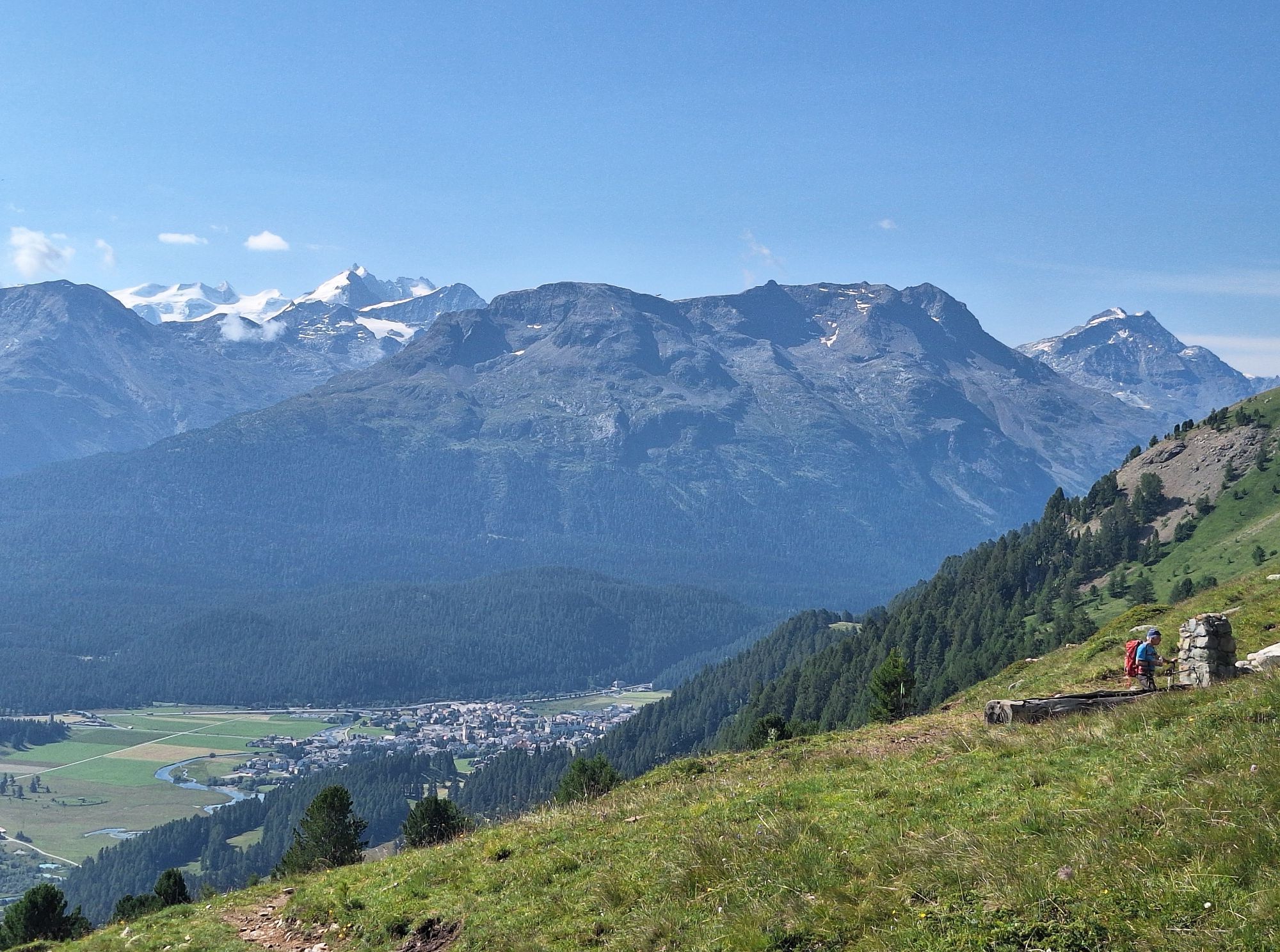
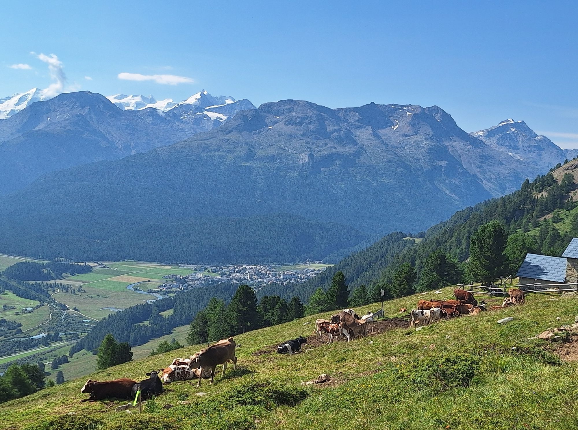
The start is at the Survih ski lift near the San Peter church. The climb to the top station of the Survih ski lift and further towards Alp Muntatsch really works your legs: Over a distance of 2.2 km, 4...
The start is at the Survih ski lift near the San Peter church. The climb to the top station of the Survih ski lift and further towards Alp Muntatsch really works your legs: Over a distance of 2.2 km, 400 meters of elevation gain are covered mostly on narrow forest paths. The tough climb is soon forgotten on the high trail. The view of the mountain world compensates for the effort, and soon the descent back to Samedan begins via the namesake Alp Clavadatsch. Passing Cristolais, the route leads back to the Survih ski lift.
Further information
Engadin Tourism AG
Via Maistra 1
CH-7500 St. Moritz
Phone: +41 81 830 00 01
E-Mail: allegra@engadin.ch
Internet: www.engadin.ch

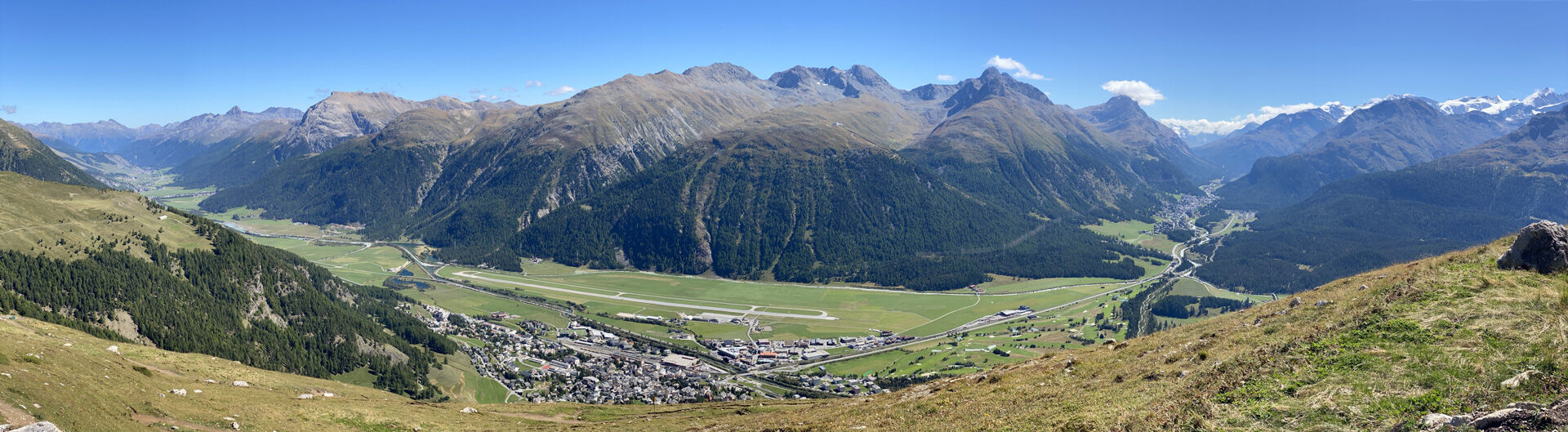
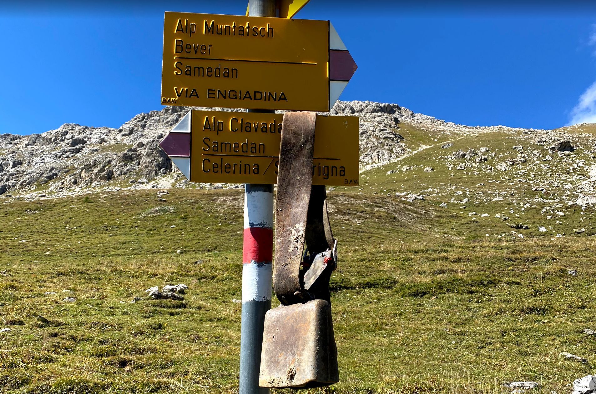
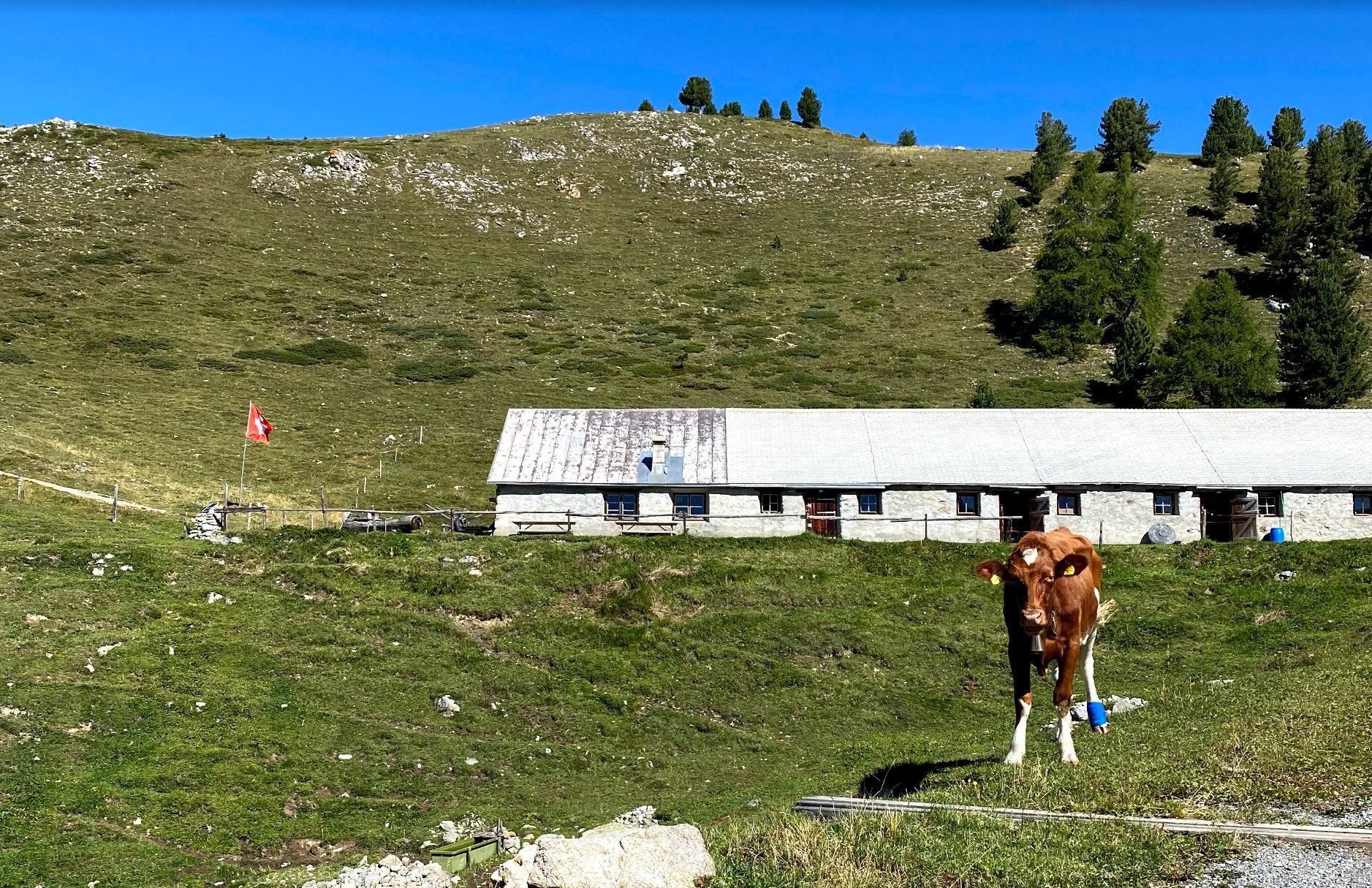
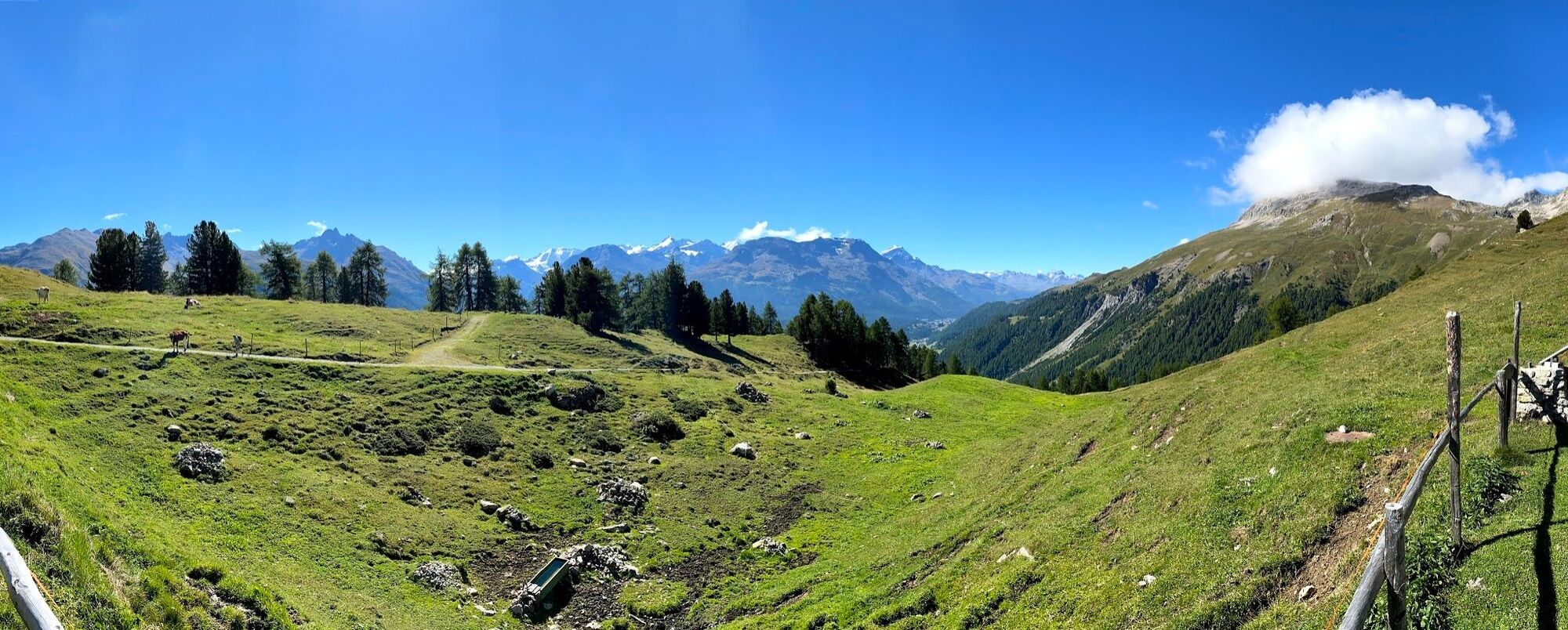

Survih - Alp Muntatsch - Alp Clavadatsch - Cristolais - Survih
A small snack at Alp Muntatsch with "Kaiserschmarrn" or relaxation at the Mineralbad & Spa, Samedan.
Kamery internetowe z trasy
-
Corviglia
-
St. Moritz / Samedan - Muottas Muragl
-
Samedo - Engadin Golf
-
St. Moritz / Samedan - Muottas Muragl
-
St. Moritz / Samedan - Muottas Muragl
-
St. Moritz / Samedan - Muottas Muragl
-
St. Moritz / Samedan - Muottas Muragl
-
Corviglia
-
Corviglia
-
Corviglia
-
Corviglia
-
Corviglia
-
Corviglia
-
Celerina - Cresta Palace
-
St. Moritz / Trais Fluors Bergstation
-
Samedan - Engadin Airport
-
Trais Fluors Bergstation
-
Pontresina - Langlauf und Bikezentrum
-
Pontresina - Eiskletter-Schlucht
-
Pontresina - Hotel Saratz

Popularne wycieczki w okolicy
-
4,8
Panoramic route Muottas Muragl
światłoWędrówka 6,75 km -
5,0
Muottas Muragl - Segantini hut - Pontresina
średniWędrówka 6,46 km -
4,8
Morteratsch Glacier route
światłoTrasa tematyczna 2,88 km -
4,5
Pontresina - Val Roseg - Pontresina
światłoWędrówka 13,8 km -
4,8
Alp Languard - Segantini Hut - Muottas Muragl
średniTrailrunning 6,45 km -
4,8
Around Lake St. Moritz
światłoWędrówka 4,32 km -
Muottas Muragl - Segantini Hütte - Pontresina
średniWędrówka 17,5 km -
4,3
721 Senda Ils Lejins Sils/Furtschellas
średniWędrówka 6,02 km -
5,0
Lej Muragl
średniWędrówka 7,39 km -
4,8
Val Roseg - Tschierva Hut
średniWędrówka 5,12 km
Wędrówki i tropienie


Nie przegap ofert i inspiracji na następne wakacje
Twój adres e-mail została dodana do listy mailingowej.





