







Sagenweg Safiental

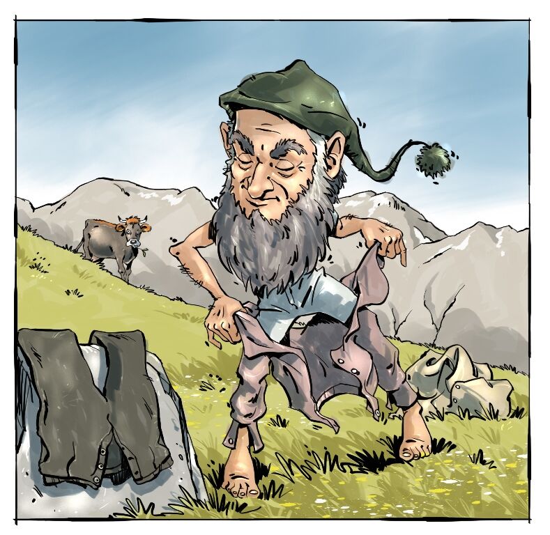
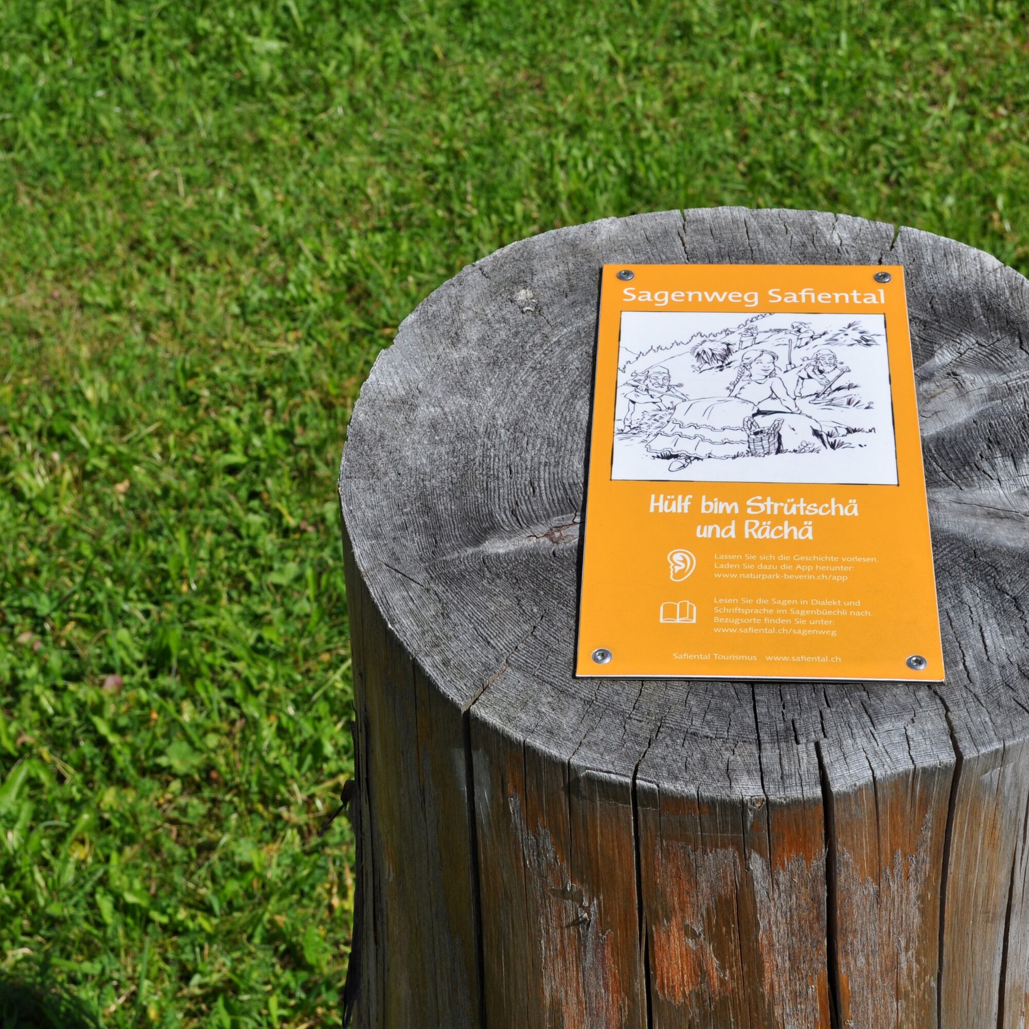
Use the legend booklet as a companion on the legend route. The legends "vo wilta Mannli und starchä Lüt" are written in dialect and standard German. You can get the booklet at Safiental Tourism, in the...
Use the legend booklet as a companion on the legend route. The legends "vo wilta Mannli und starchä Lüt" are written in dialect and standard German. You can get the booklet at Safiental Tourism, in the village shops, in the Spensa in Safien Platz, and in some restaurants.
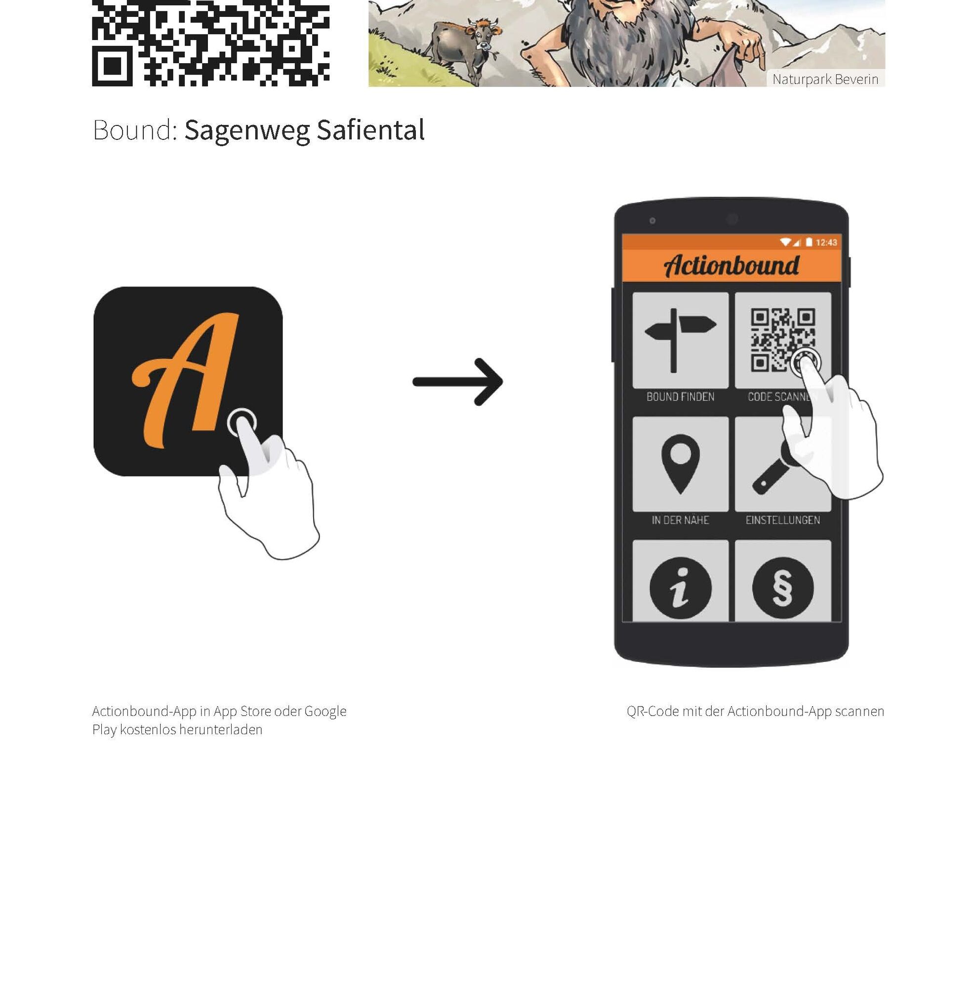
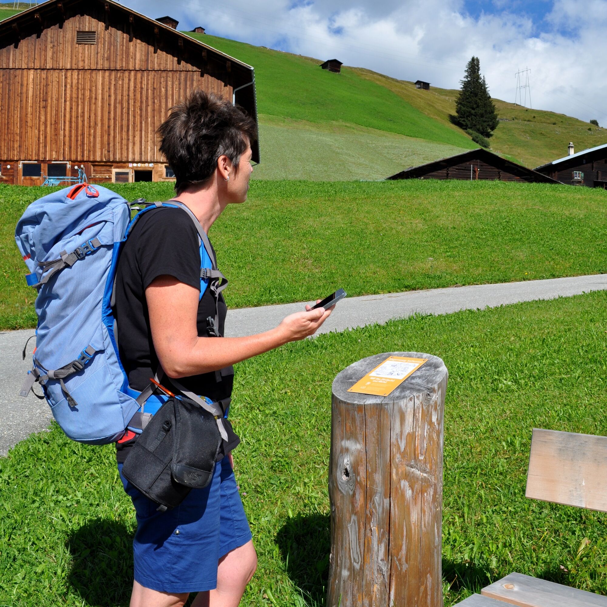
The legends can also be heard in the Walser dialect. You can access them via the Action Bound App (free). We recommend downloading it before you start, as there is not always sufficient reception on the hike.


Once you arrive in Thalkirch, Turra, we recommend visiting the exhibition barn of the Safier Ställe Association right at the post bus stop before starting your hike. There you will receive interesting information about the significance of the Ställe and the scattered Walser settlements, which shape the landscape in the region. You begin your hike following the valley road back towards Thalkirch. After a few minutes, you leave the road turning right over a bridge and follow the river to Thalkirch. Walking, you will recognize the typical Safien settlement landscape with scattered houses on the left valley slope (sometimes with detached ovens), stables, hay barns, and alpine huts (called "Stupli"). In Thalkirch, it is worth visiting the small church. From the church, you walk a short distance along the valley road back and then follow the hiking trail, which immediately turns right after a residential house. Across a meadow, you head towards Bawald and shortly reach the enchanting forest that could tell many legends. The path continues through forest and over alpine meadows up to the Camaner huts. The view from up here is wonderful. You overlook almost the entire valley. In Camanaboda is the highest permanently inhabited settlement in the valley. Here is also the Safier local heritage museum. Despite its small size, the "aalt Huus", as it is also called, has all the rooms typical of the time, and you learn impressively how people lived and worked in earlier times. It is open from May to October every second and fourth Sunday of the month from 12 to 3 pm or by prior arrangement. From Camanaboda, the path follows part of the road before it then goes steeply down to Safien Platz at the "Hof".
Tak
For reading: You use the legend booklet as a companion on the legend route and read the legends in the Walser dialect or in written language. The respective illustrations of the legends can also be colored by the children themselves.
The legend booklet costs CHF 10.–. You can obtain it at the following sales points:
> Spensa, Safien Platz
> Dorfladen, Safien Platz
> Gasslihof, Thalkirch
> Berggasthaus Turrahus, Thalkirch/Turra
> Café Mäntig, Valendas
or via Safiental Tourism, tel. +41 (0)81 630 60 16
For listening: Action Bound App (free)
Take the post bus to Thalkirch, Turrahus.
Other stops along the legend route are:
Safien Platz, Mura, junction Camana, Bäch, Thalkirch/Post as well as Thalkirch/Gassli
INTERACTIVE TOUR:Install the Beverin Nature Park app on your smartphone. In the INTERACTIVE HIKING section you will find a guide and all information about the route. In order to listen to the audio contents while you are on the way, save it beforehand (in WLAN). You can find out how this works in the INTERACTIVE HIKING section under HERE’S HOW IT WORKS.
Download the Action Bound App (free) and listen to the legends in the original Walser dialect while on the way.

Popularne wycieczki w okolicy
-
4,9
Rheinschlucht: From Ilanz to Versam into the heart of the Rheinschlucht
średniWędrówka 11,4 km -
5,0
Panorama route
światłoWędrówka 5,39 km -
Piz Fess 2880m, the proud one
ciężkiWędrówka 12,8 km -
5,0
Hiking route Suspension Bridge Val da Tersnaus
średniWędrówka 3,24 km -
4,7
Dutjer Alp - magnificent view
średniWędrówka 8,23 km -
3,3
3-lake hike
średniWędrówka 12,8 km -
Panoramic route between Piz Mundaun and Péz Sezner
średniWędrówka 6,75 km -
5,0
Winter hike Gadastatt - Frunt - Zerfreila (Panorama trail)
światłoWędrówka zimą 5,36 km -
5,0
Rhine Gorge/Ruinaulta: Valendas - Versam
światłoWędrówka 4,53 km -
4,6
Thusis - Cafe im Park - Reformierte Kirche Reischen - Zillis
średniWycieczki górskie 10,8 km
Wędrówki i tropienie


Nie przegap ofert i inspiracji na następne wakacje
Twój adres e-mail została dodana do listy mailingowej.





