







Cho d'Valletta
Poziom trudności: PD
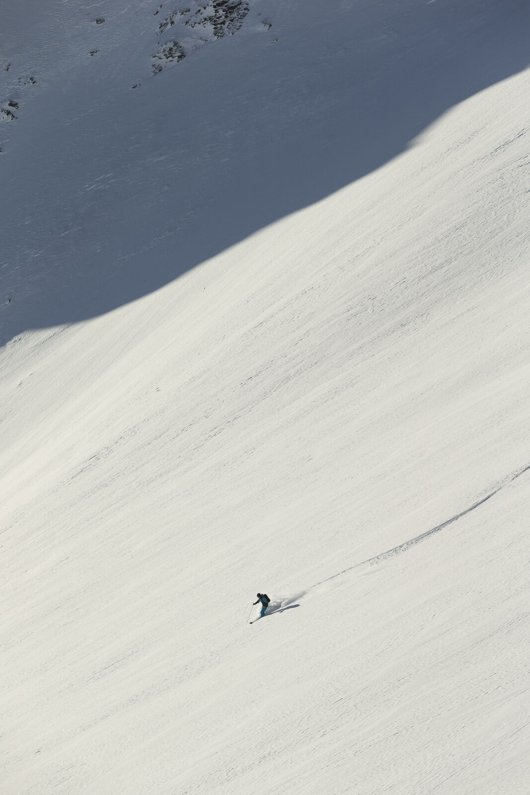
From Samedan train station to the Survih ski lift above the village (few parking spaces). Ascend here to P. 1932 in Val Muntatsch. Follow the summer path northeastwards and at approx. 2100 m leave the...
Alternative: If an ascent through the God da Munt seems too arduous, you can also take the alpine path from the Muntarütsch shooting range via Alpetta to Alp Muntatsch (winter hiking trail).
The descent follows the ascent route.


Tak
Complete safety equipment (avalanche transceiver, avalanche shovel, avalanche probe, cell phone) and knowledge of correct handling are essential.
The practice of ski touring in open terrain is at your own risk. Every ski tourer is strongly advised to prepare thoroughly, plan their route and obtain up-to-date information on the snow and avalanche situation. Avalanche report and snow information: www.slf.ch
No liability is accepted for accidents resulting from the use of the published information and route details.
In case of doubt, accompaniment by an experienced mountain guide is strongly recommended: www.govertical-mountainguides.ch
PD
Observe the Muntatsch / Clavadatsch game protection zones with the permitted access routes.
Kamery internetowe z trasy
Uzyskaj wgląd
Zawsze na żywo z ponad 9 500 kamer internetowych. bergfex Jako użytkownik Pro, możesz teraz zobaczyć odpowiednie kamery internetowe dla wielu wycieczek w aplikacji wycieczki od. Pozwala to na bezpośredni podgląd aktualnych warunków.
Popularne wycieczki w okolicy
-
5,0
Morteratsch station - Boval Hut
średniWędrówka 10,5 km -
4,7
Panoramic route Muottas Muragl
światłoWędrówka 6,75 km -
5,0
Muottas Muragl - Segantini hut - Pontresina
średniWędrówka 6,46 km -
4,5
Pontresina - Val Roseg - Pontresina
światłoWędrówka 13,8 km -
4,8
Around Lake St. Moritz
światłoWędrówka 4,32 km -
4,7
Morteratsch Glacier route
światłoTrasa tematyczna 2,88 km -
4,8
Alp Languard - Segantini Hut - Muottas Muragl
średniTrailrunning 6,45 km -
Muottas Muragl - Segantini Hütte - Pontresina
średniWędrówka 17,5 km -
5,0
Alp Languard - Paradis Hut - Pontresina
światłoWędrówka 7,05 km -
5,0
Lej Muragl
średniWędrówka 7,39 km
Wędrówki i tropienie


Nie przegap ofert i inspiracji na następne wakacje
Twój adres e-mail została dodana do listy mailingowej.





