


Piz Cavel in the Lumnezia
Poziom trudności: AD+
The start of the route is located in Sogn Giusep, a small hamlet in the innermost Val Lumnezia. You can walk leisurely up to Puzzatsch and admire the steep northern slopes. Now the route leads along the...
The start of the route is located in Sogn Giusep, a small hamlet in the innermost Val Lumnezia. You can walk leisurely up to Puzzatsch and admire the steep northern slopes. Now the route leads along the alpine road, which is mostly not visible, above the Ramosa creek up to Alp Ramosa. This steep crossing can also be managed near the creek if there is enough load-bearing snow. Most people take a first break at Tegia Sut.
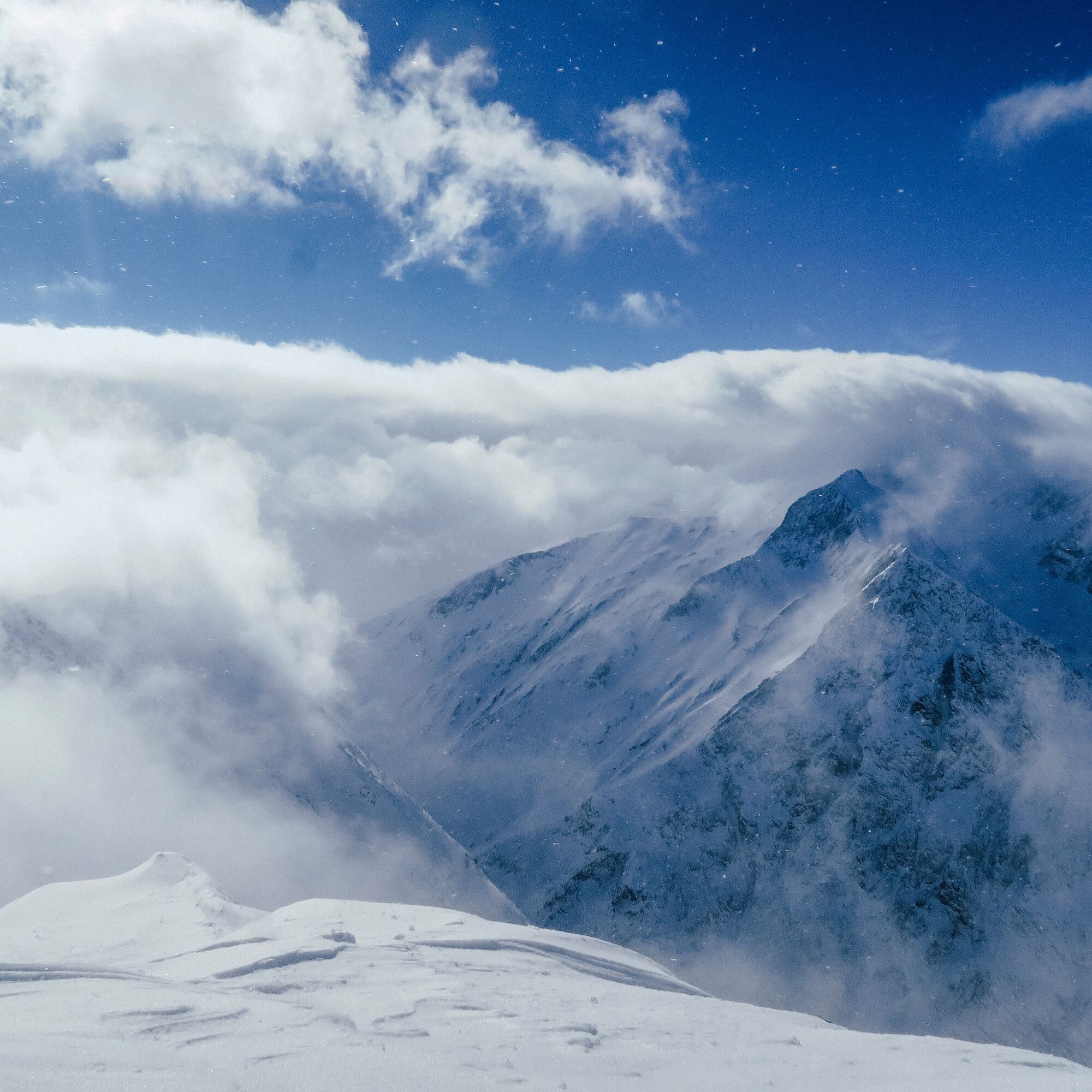
Sometimes flatter, sometimes steeper it continues upwards. Over La Capiala, finally very steeply up to the ski depot below Piz Cavel. Now you climb on foot over the NE ridge to the summit. The view up here is simply fantastic. It feels like it stretches across all of Graubünden and the Ticino Alps.
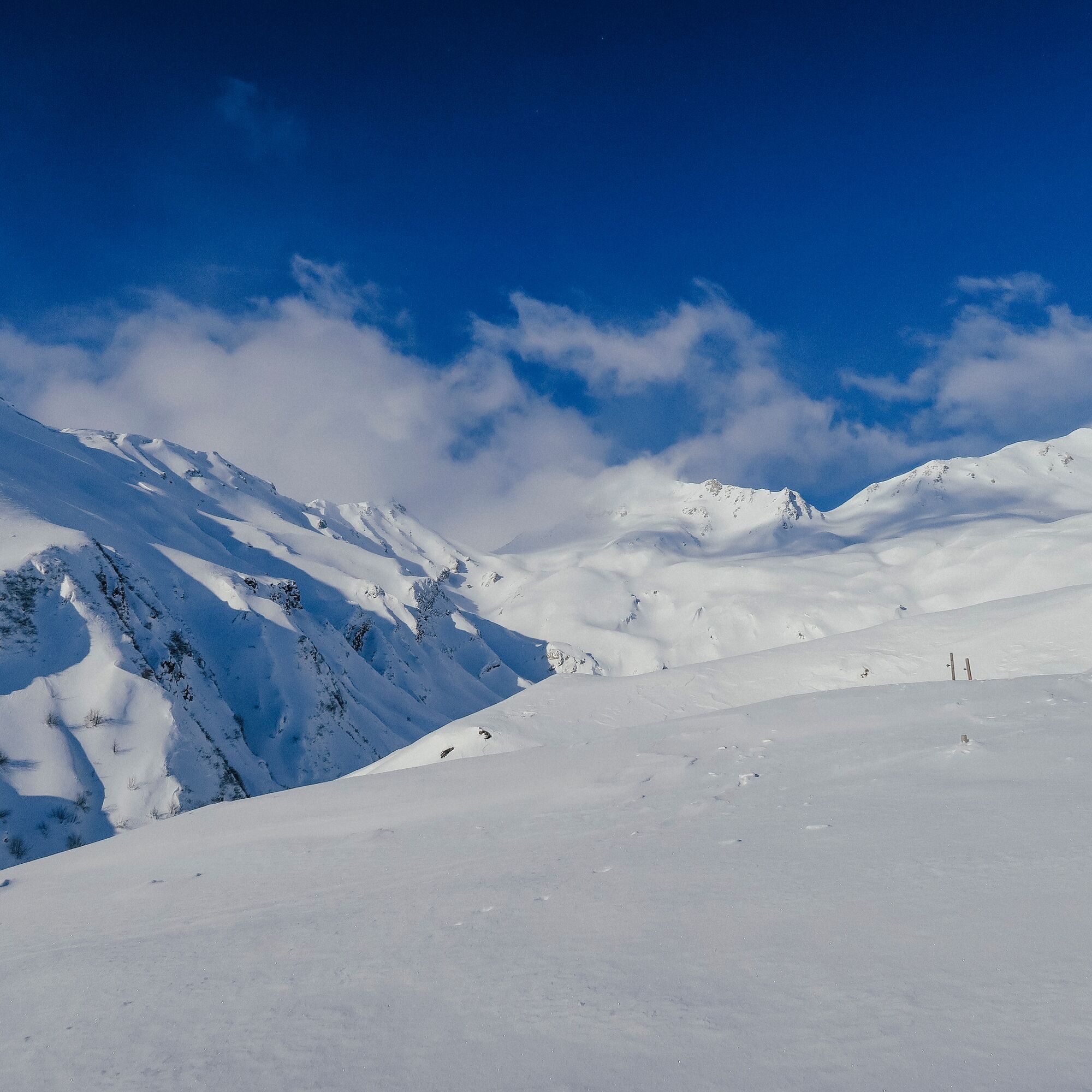
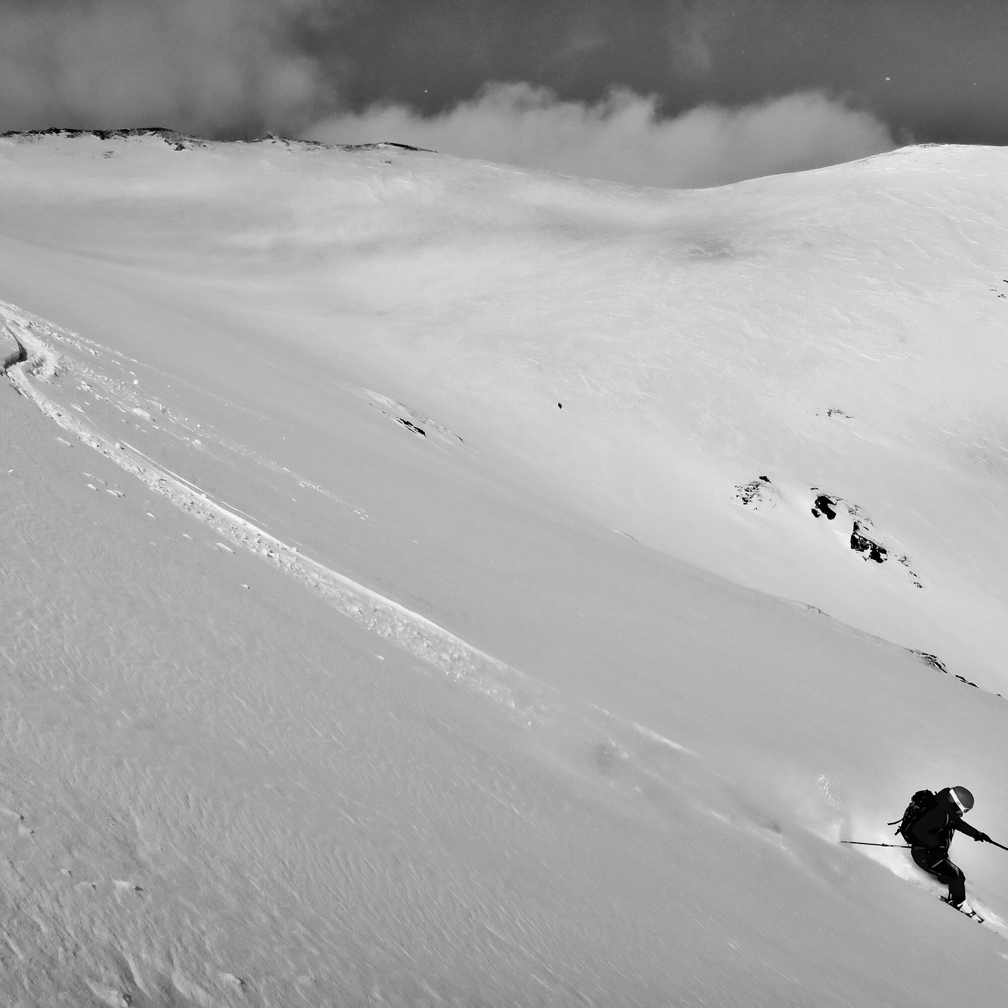
The descent follows the ascent route. In the upper section often over alpine and beautiful slopes.

Sogn Giusep - Puzzatsch - Alp Ramonsa - La Capiala - Ski depot - Piz Cavel - Descent along the ascent route
Tak
Tak
See safety instructions
Ski and snowshoe routes in unsecured terrain require good knowledge of avalanche danger assessment and route planning. Furthermore, a complete safety equipment must always be carried - regardless of the current avalanche danger.
We recommend the app and website of WhiteRisk for preparation and planning of the route.
For carefree enjoyment, we recommend our mountain guides and snowshoe walking leaders of the Surselva.
From Ilanz towards Vella and via Vrin to Sogn Giusep.
From Ilanz by post bus to Vrin, vitg. Some services go as far as Sogn Giusep (attention, reservation necessary)
During the winter season, the post bus on the Ilanz – Vrin line and all other lines throughout the Lumnezia municipality area can be used free of charge by everyone.
Due to the length of the route, we recommend traveling by car up to Sogn Giusep.
Below the small village of Sogn Giusep there is a parking area.
AD+
Under very safe conditions, it is possible to ski down from the summit to the east into a hollow south of La Capiala. Caution: There are steep slopes between 30 and 40 degrees over approximately 200 meters of elevation.
Popularne wycieczki w okolicy
-
5,0
Hiking route Suspension Bridge Val da Tersnaus
średniWędrówka 3,24 km -
5,0
Panorama route
światłoWędrówka 5,39 km -
Giro della Greina
Wędrówka 50,6 km -
3,3
3-lake hike
średniWędrówka 12,8 km -
Panoramic route between Piz Mundaun and Péz Sezner
średniWędrówka 6,75 km -
5,0
Winter hike Gadastatt - Frunt - Zerfreila (Panorama trail)
światłoWędrówka zimą 5,36 km -
5,0
2-day hike Greina high plateau
średniWędrówka 14,9 km -
5,0
Southeast Switzerland Hiking Day Vals 2017
światłoWędrówka 11,8 km -
Piz Terri, 3.149 m
średniWycieczka wysokogórska 6,92 km -
5,0
Hike Vrin - Uors over the suspension bridge Val da Silgin
średniWędrówka 12,3 km
Wędrówki i tropienie


Nie przegap ofert i inspiracji na następne wakacje
Twój adres e-mail została dodana do listy mailingowej.