


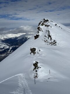
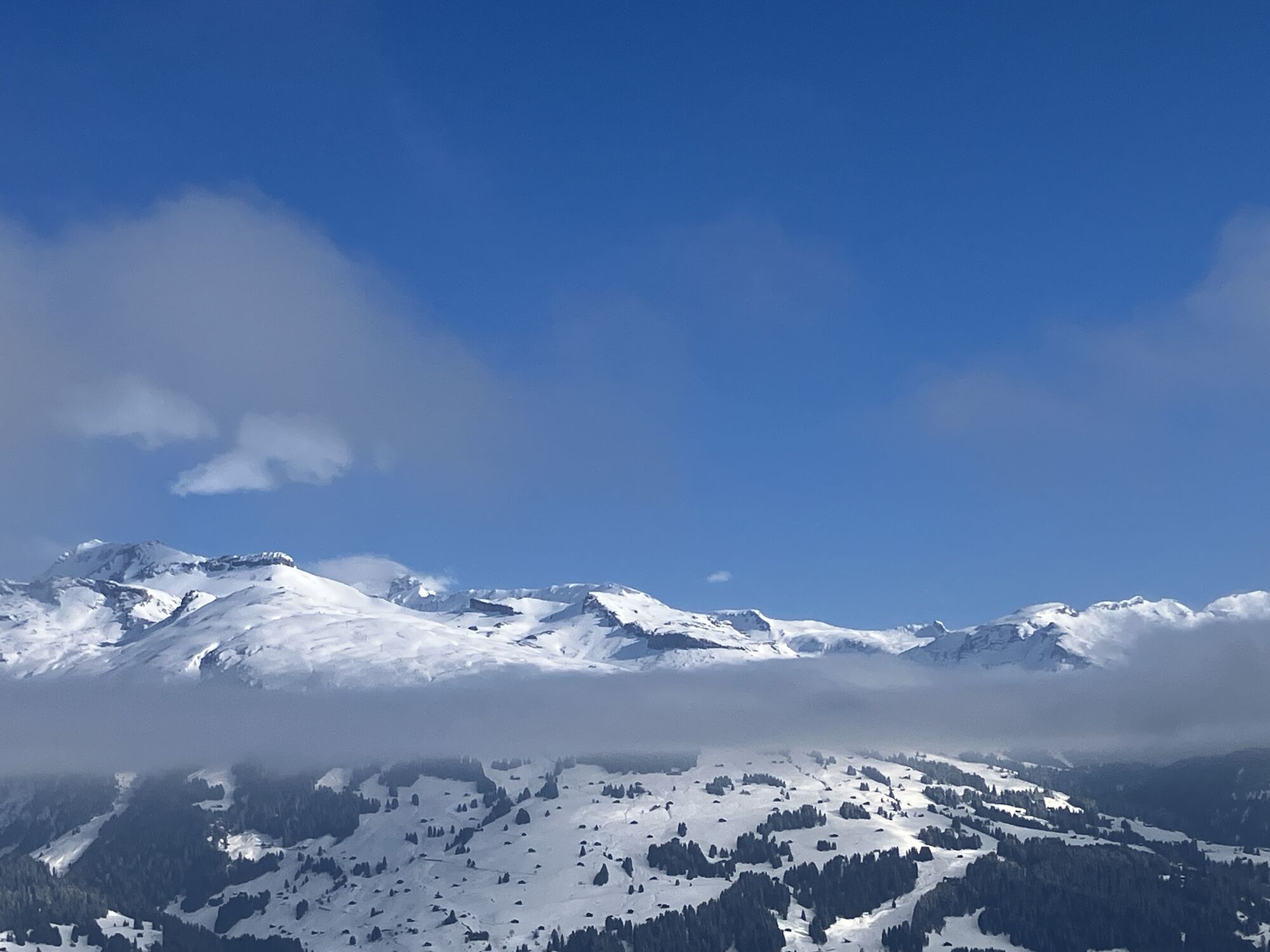
Piz Titschal in Obersaxen
Poziom trudności: PD
Zdjęcia naszych użytkowników
-
 © Martin WürschUtworzono dnia 02.04.2026
 -
 © Martin WürschUtworzono dnia 02.04.2026
 -
 © Martin WürschUtworzono dnia 02.04.2026
 -
 © Martin WürschUtworzono dnia 02.04.2026
 -
 © Martin WürschUtworzono dnia 02.04.2026
 -
 © Christian SchmalzUtworzono dnia 08.02.2025
 -
 © Christian SchmalzUtworzono dnia 08.02.2025
 -
 © Christian SchmalzUtworzono dnia 08.02.2025
 -
 © Martin WürschUtworzono dnia 08.02.2022
 -
 © Martin WürschUtworzono dnia 08.02.2022
 -
 © Martin WürschUtworzono dnia 08.02.2022
 -
 © Martin WürschUtworzono dnia 08.02.2022
 -

 © Benny EhnertUtworzono dnia 17.03.2026
 -
 © Benny EhnertUtworzono dnia 17.03.2026
 -
 © Benny EhnertUtworzono dnia 17.03.2026
 -
 © Benny EhnertUtworzono dnia 17.03.2026
 -
 © Benny EhnertUtworzono dnia 17.03.2026
 -
 © Benny EhnertUtworzono dnia 17.03.2026


Those arriving by public transport can start directly from the post bus terminus at Friggahüs. Those arriving by car, we recommend a start from the small parking lot in front of St.Martin.
The ascent proceeds...
Those arriving by public transport can start directly from the post bus terminus at Friggahüs. Those arriving by car, we recommend a start from the small parking lot in front of St.Martin.
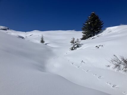
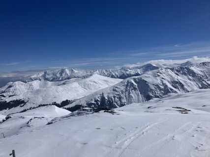
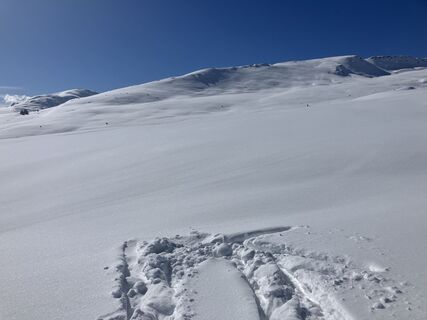
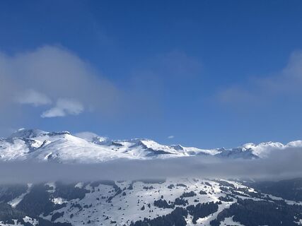
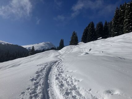
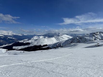
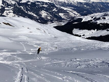
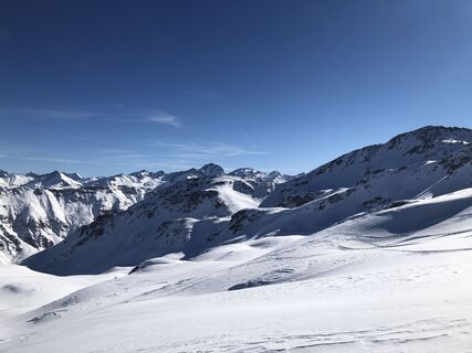
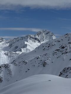
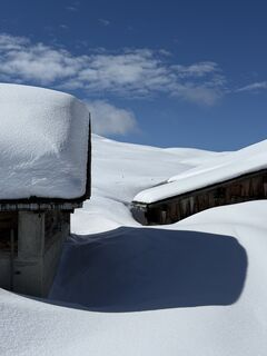
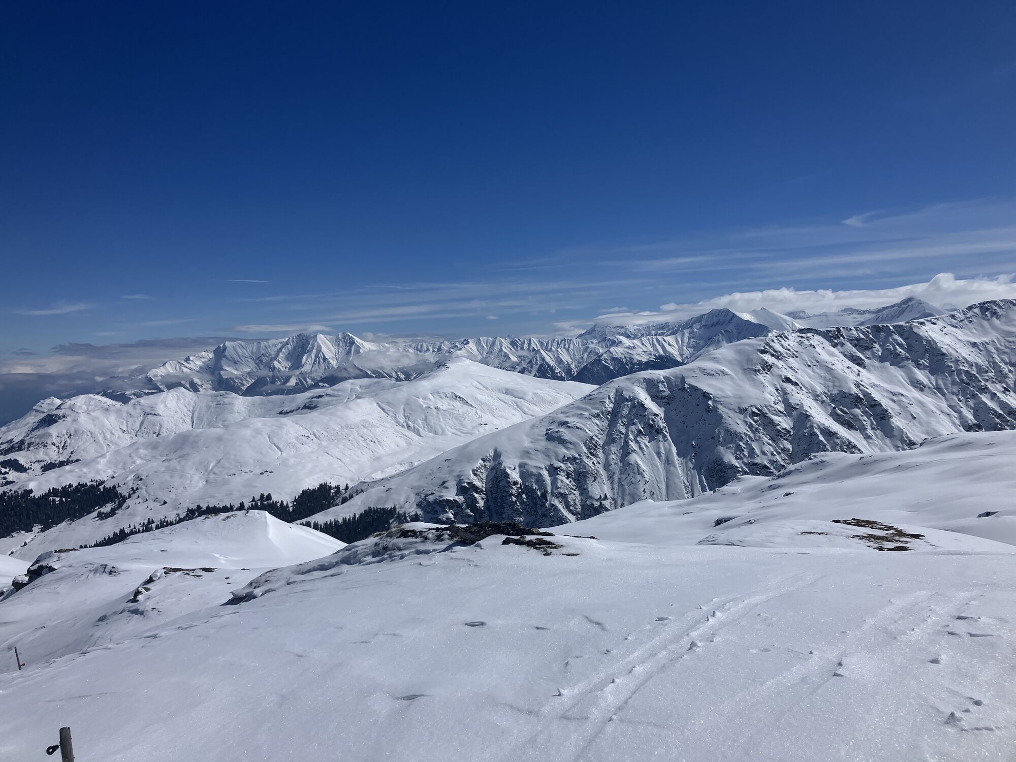
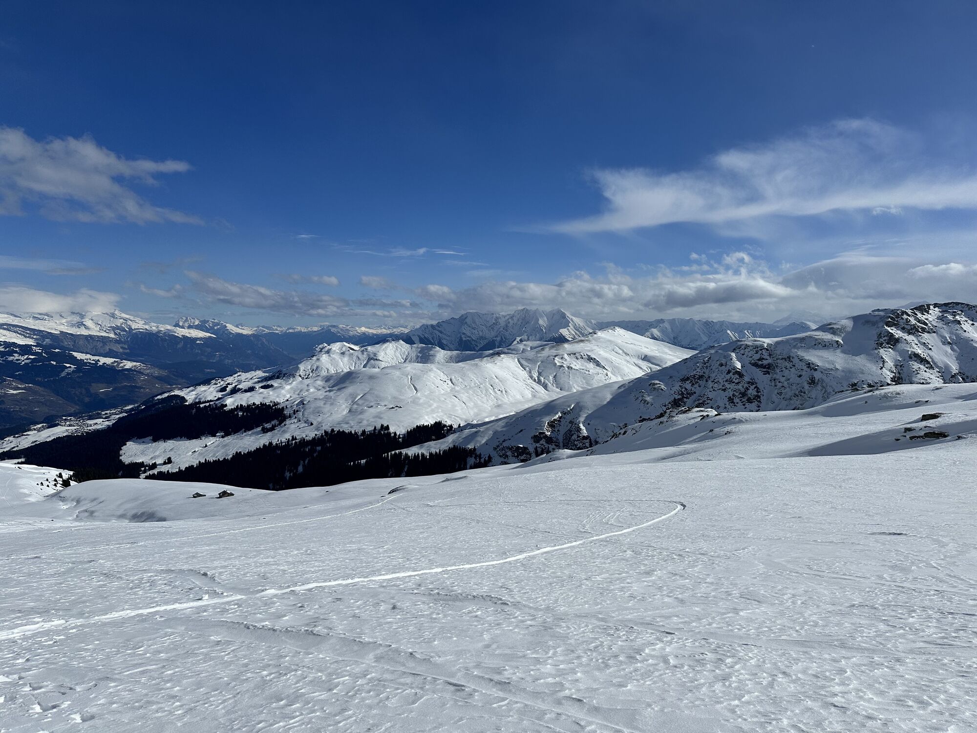
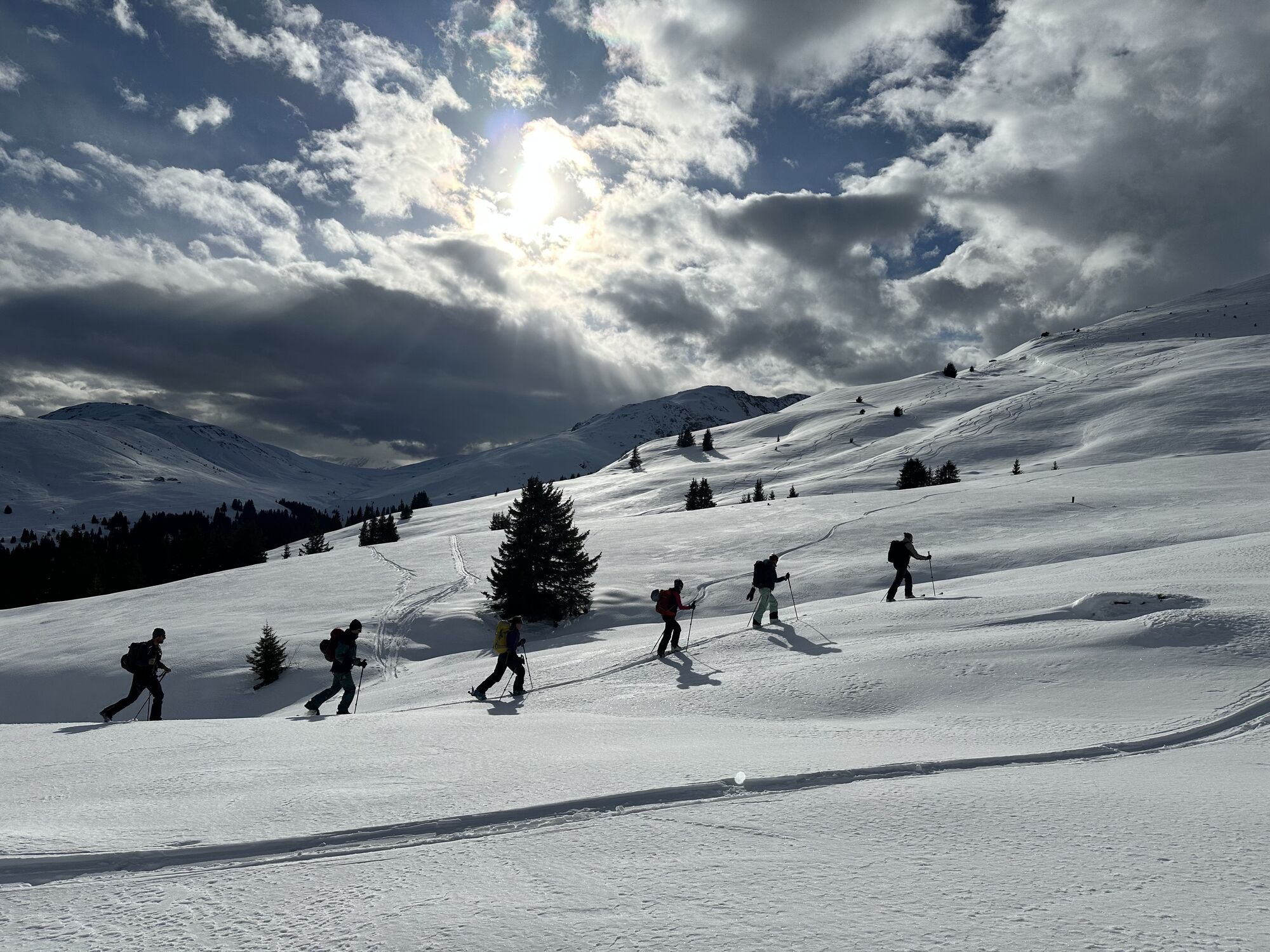
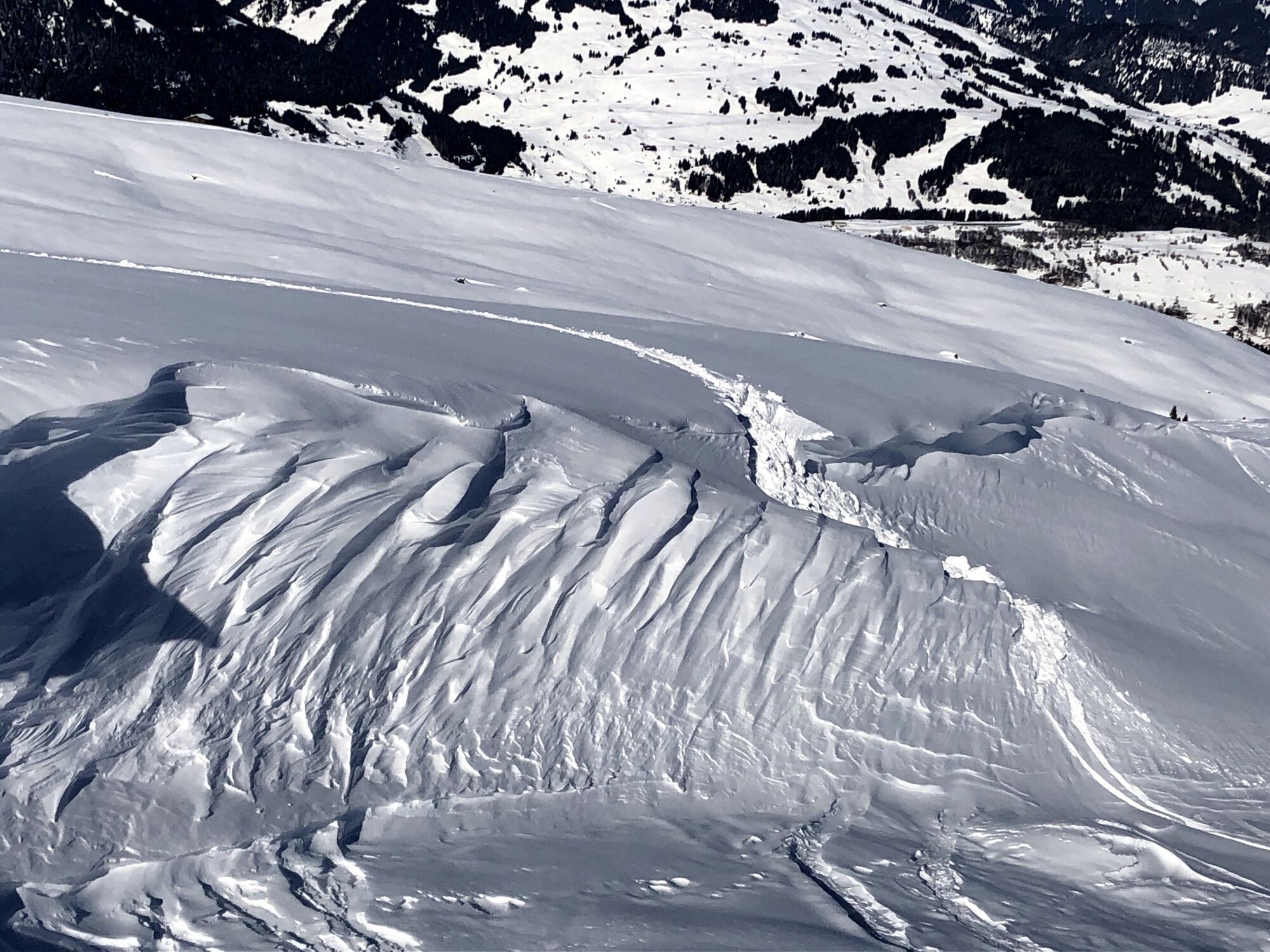
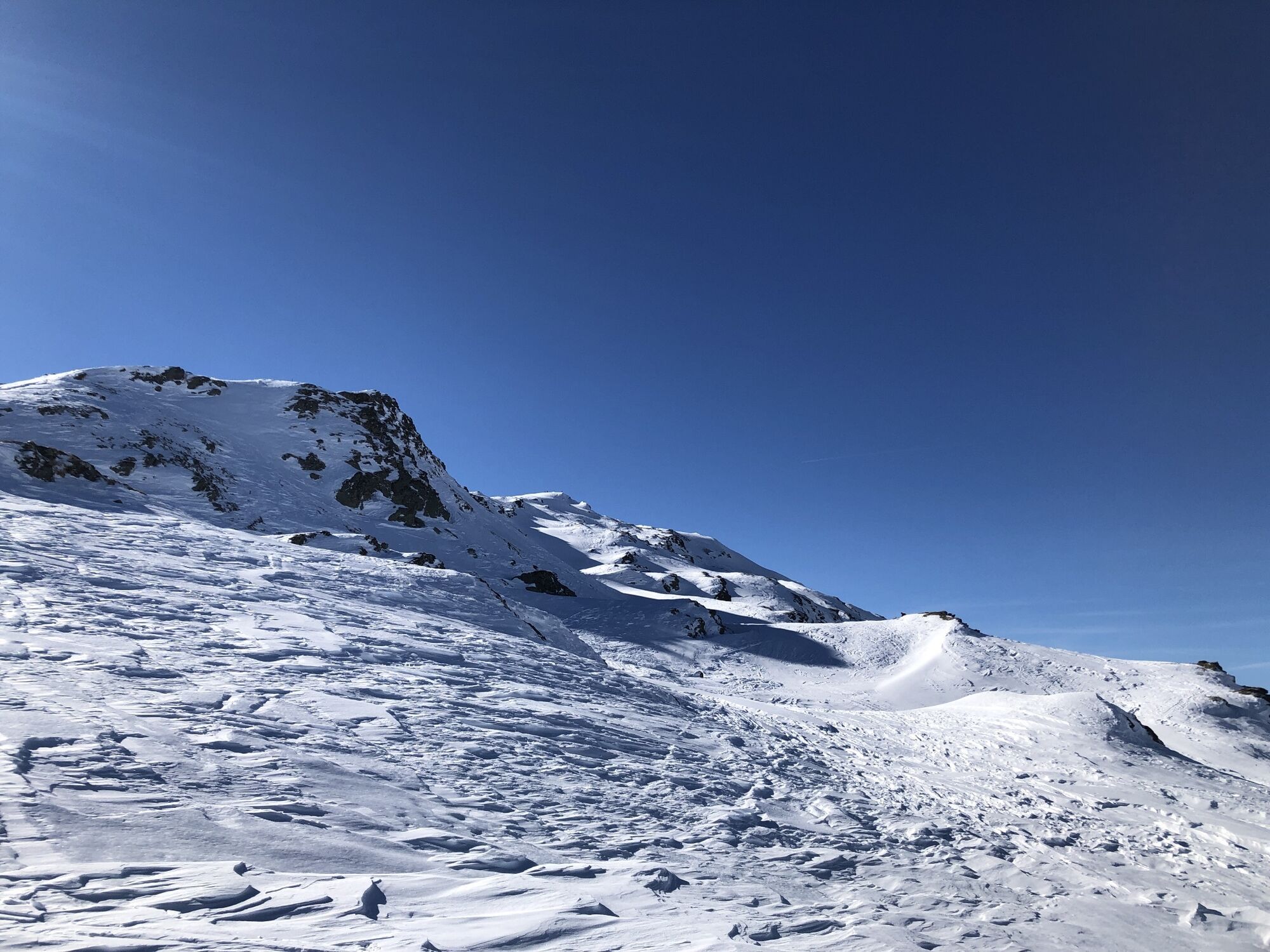
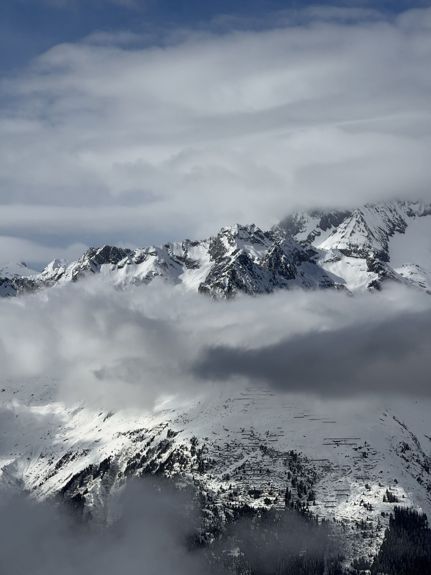
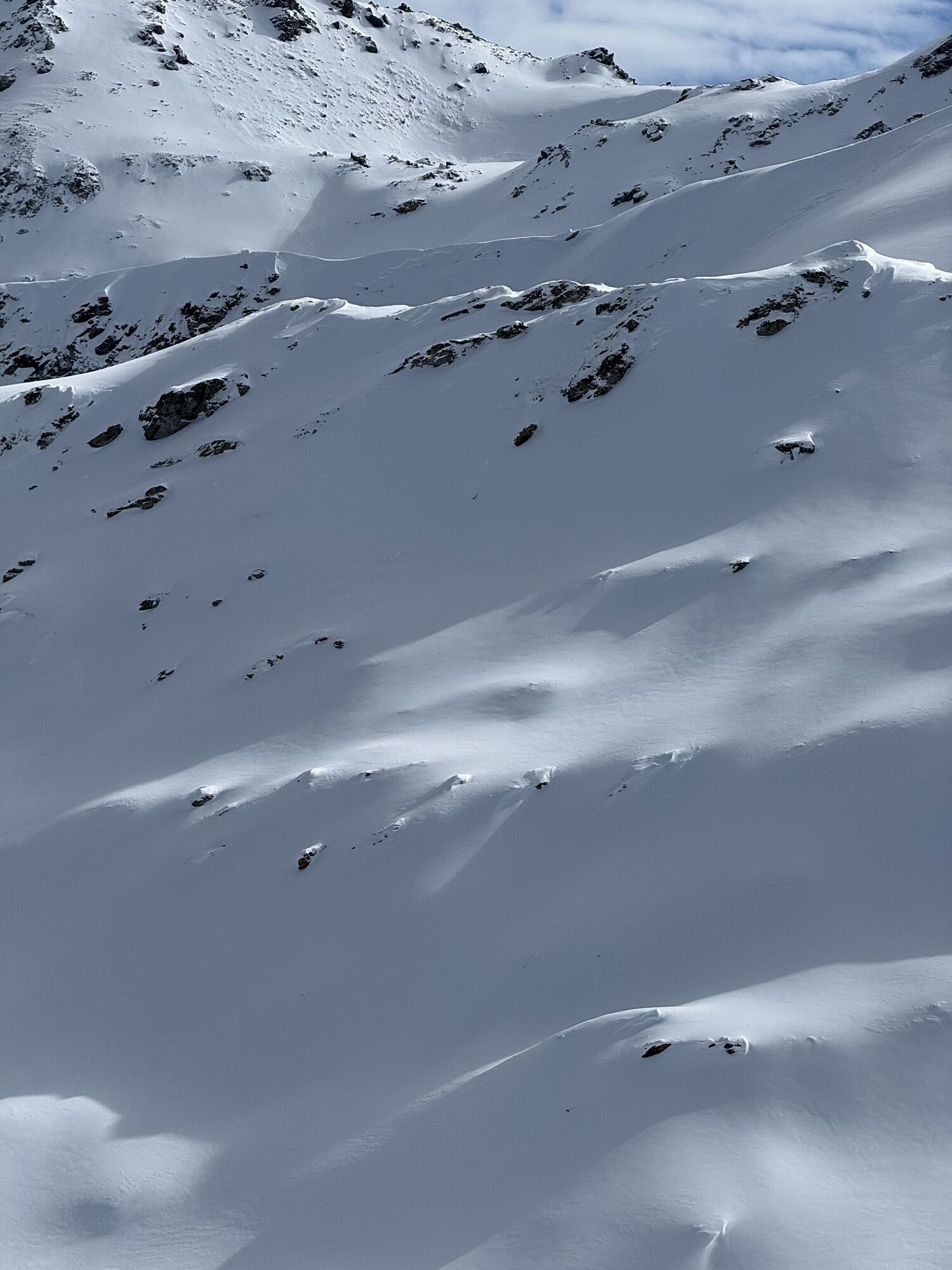
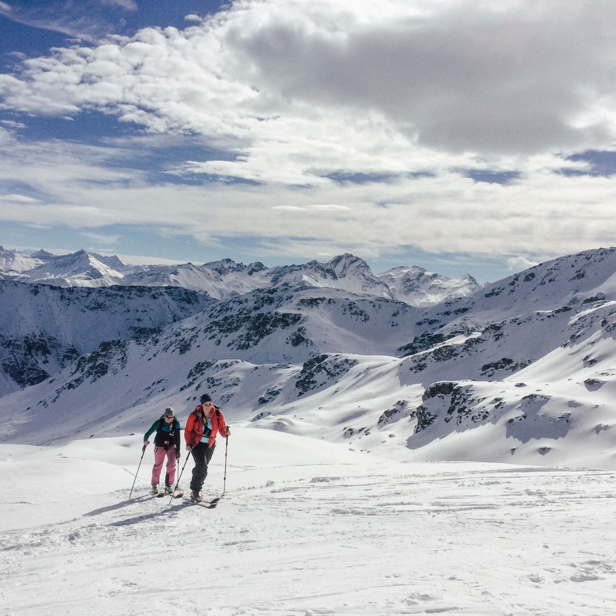
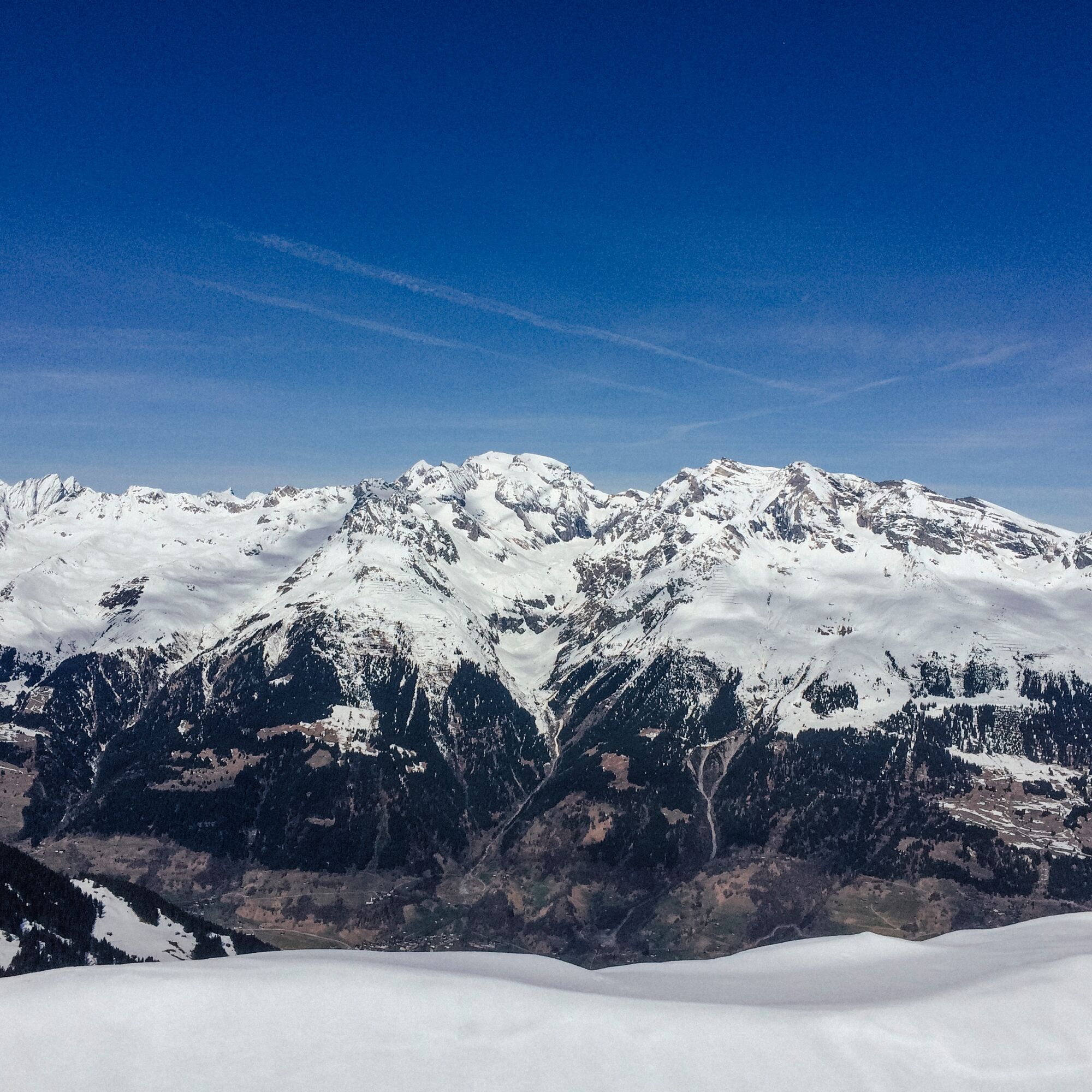
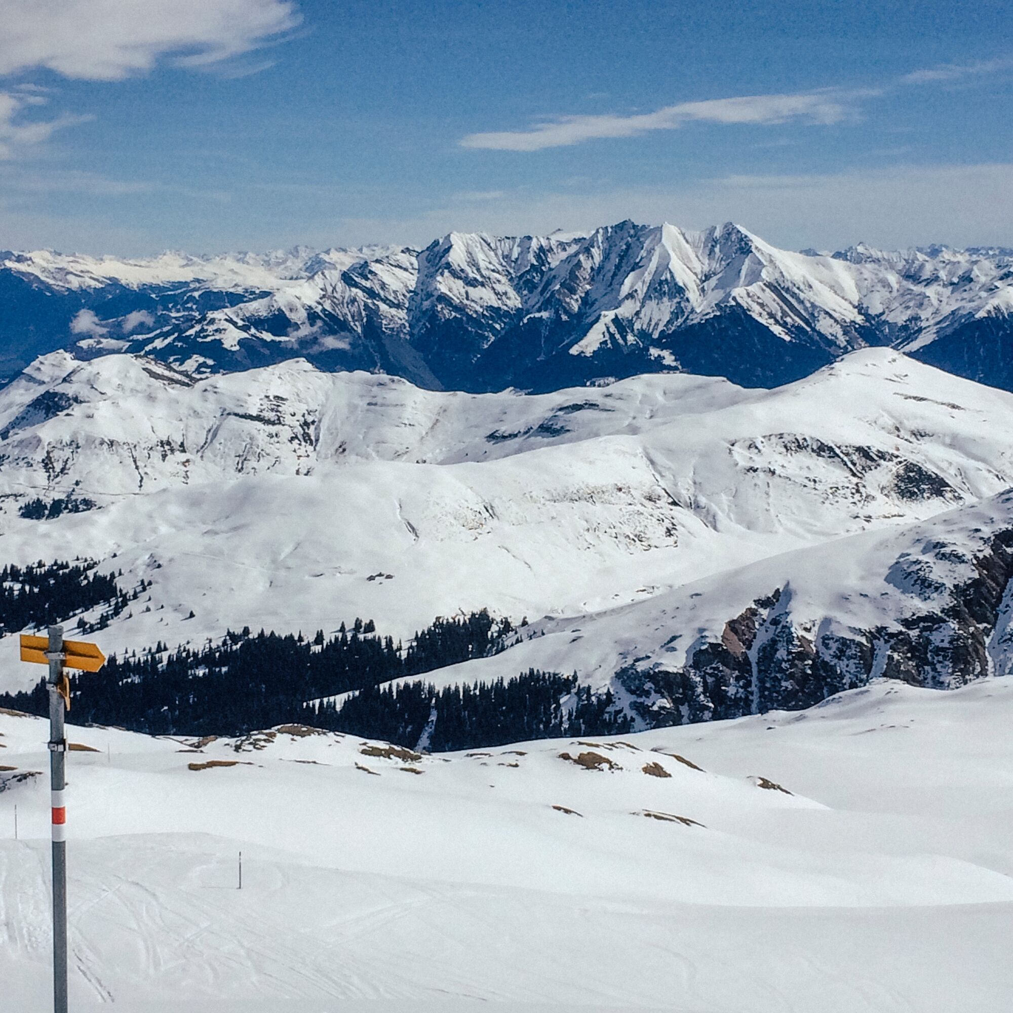
The ascent proceeds over alpine meadows to the Maiensäss settlement Wasma and later through the forest and across a wide plateau to Vorderalp. Here you have already completed more than half of the altitude gain and have earned a generous break in an alpine setting. Initially, the route continues calmly until the terrain becomes steeper and more alpine from time to time. However, no major difficulties are to be expected. The summit of Piz Titschal marks the beginning of the mighty Val Gronda chain. The panoramic view extends to the Furkahörner, Oberalpstock, Tödi, Calanda, and beyond.
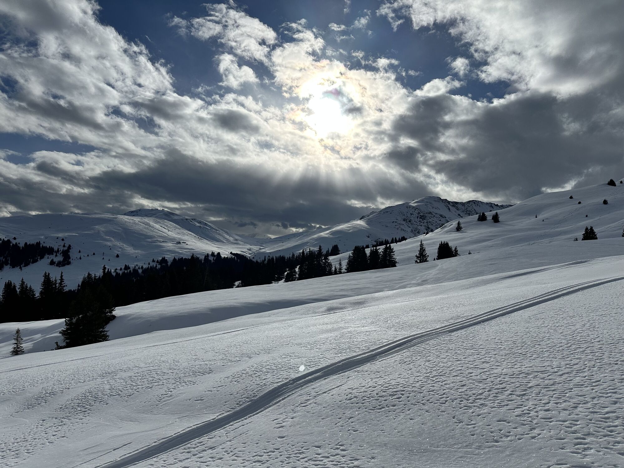
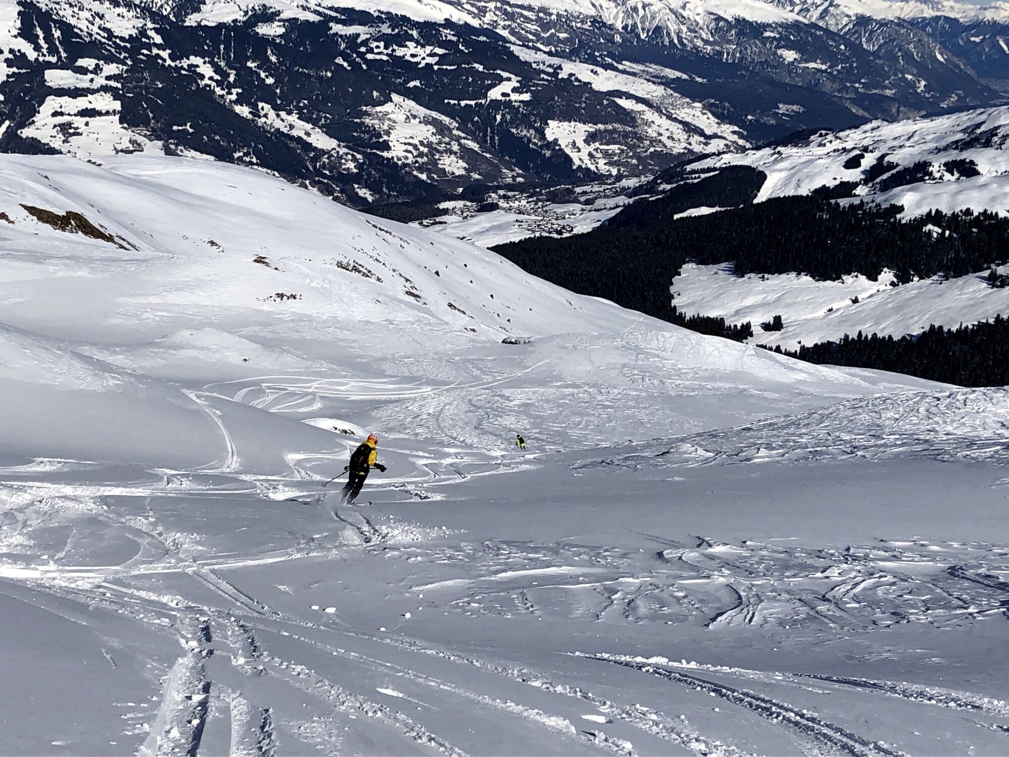
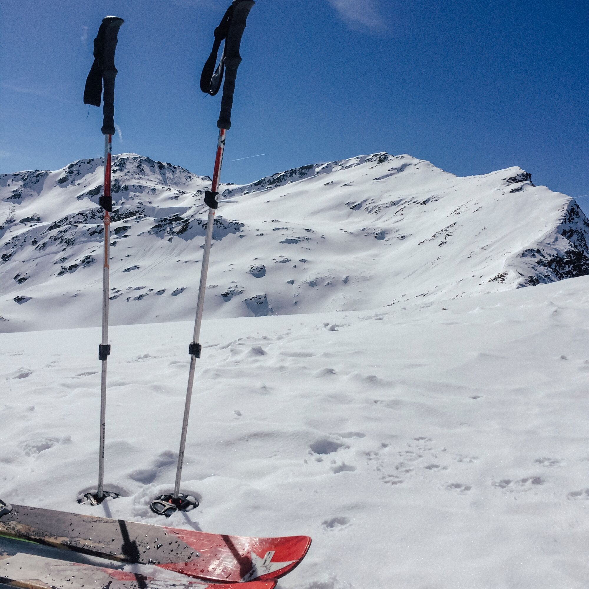
You can now either descend along the ascent route or take the often powdery slopes towards Chrizbial under the skis. As a minor disadvantage, you have to traverse towards Vorderalp before rejoining the ascent route on this variant. However, it can still be worth it.

St.Martin or Friggahüs - Wasma - Vorderalp - Piz Tischal - same return route
Descent variant: Piz Tischal - Chrizbial - Vorderalp - Wasma - St.Martin or Friggahüs
Tak
Tak
See safety instructions
Ski and snowshoe tours in unsecured terrain require good knowledge in assessing avalanche danger and tour planning. Furthermore, a complete safety equipment must always be carried - regardless of the current avalanche danger.
We recommend using the APP and website of WhiteRisk for preparation and planning the tour.
For carefree enjoyment, we recommend our mountain guides and snowshoe hiking leaders of Surselva.
By car from Ilanz through all of Obersaxen to shortly before St.Martin
From Ilanz by post bus to the terminus Friggahüs
A limited number of parking spaces are available in front of the bridge to St.Martin.
PD
In safe conditions, you can also descend to the Lumbreiner bridge. Those arriving by public transport will extend the route to Tobel (before Meierhof). This variant is not listed here.
Kamery internetowe z trasy
Popularne wycieczki w okolicy
-
5,0
High valley Val Frisal
ciężkiWędrówka 12,4 km -
5,0
Hiking route Suspension Bridge Val da Tersnaus
średniWędrówka 3,24 km -
Panoramic route between Piz Mundaun and Péz Sezner
średniWędrówka 6,75 km -
5,0
2-day hike Greina high plateau
średniWędrówka 14,9 km -
4,5
Around the Grep da Plaids
średniWędrówka 8,05 km -
5,0
Hike Vrin - Uors over the suspension bridge Val da Silgin
średniWędrówka 12,3 km -
3,5
Places of Magic - Lumbrein
średniWędrówka 8,74 km -
5,0
Disentis - Cavardiras - Cupadials - Sumvitg
światłoWędrówka 13,7 km -
5,0
Breil/Brigels - Val Frisal Rundwanderung
średniWędrówka 20,8 km -
4,0
Senda culturala Lumnezia / Kulturweg Lumnezia
światłoTrasa tematyczna 7,54 km

Wędrówki i tropienie


Nie przegap ofert i inspiracji na następne wakacje
Twój adres e-mail została dodana do listy mailingowej.