


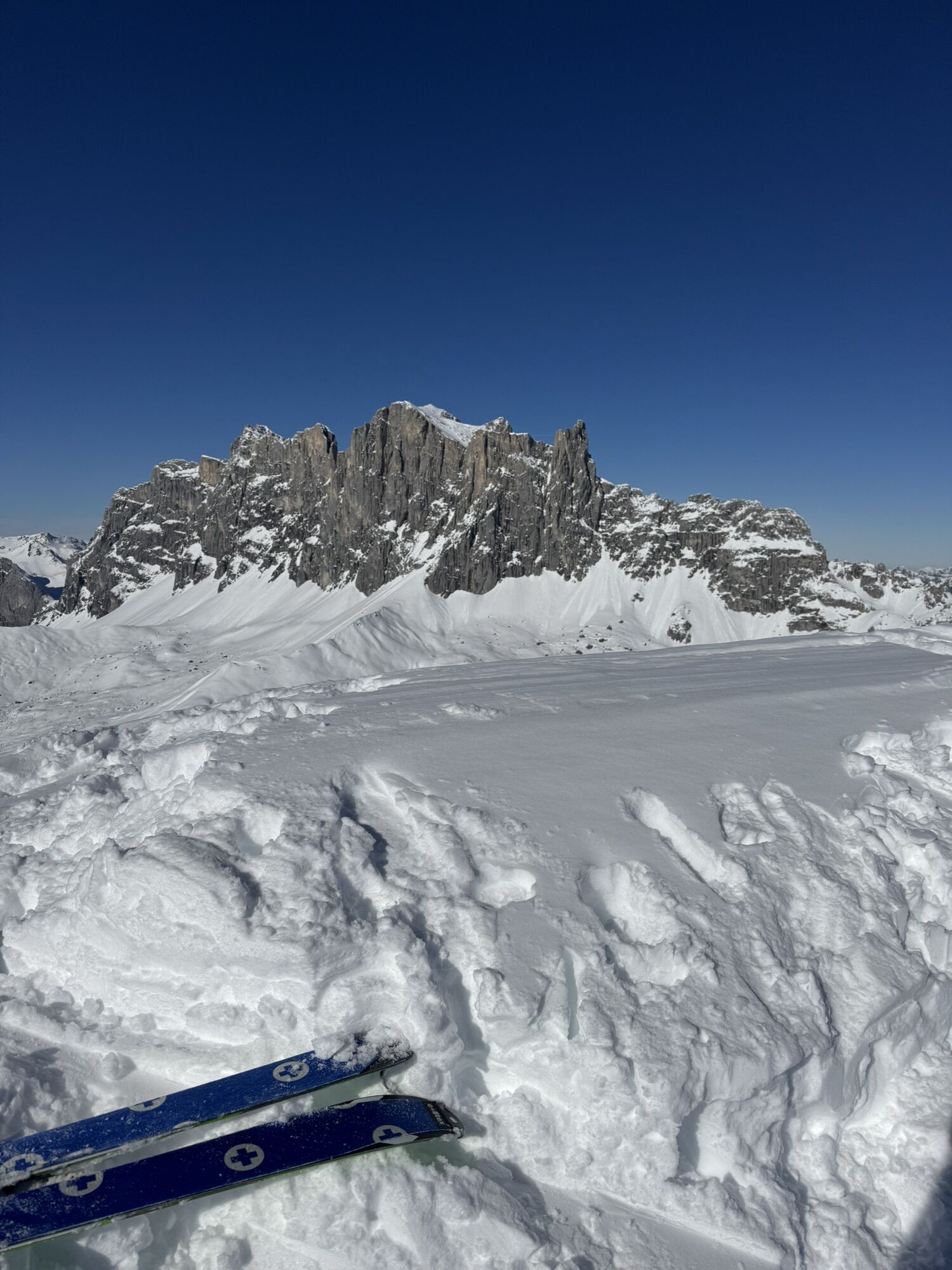
Schafberg
Zdjęcia naszych użytkowników
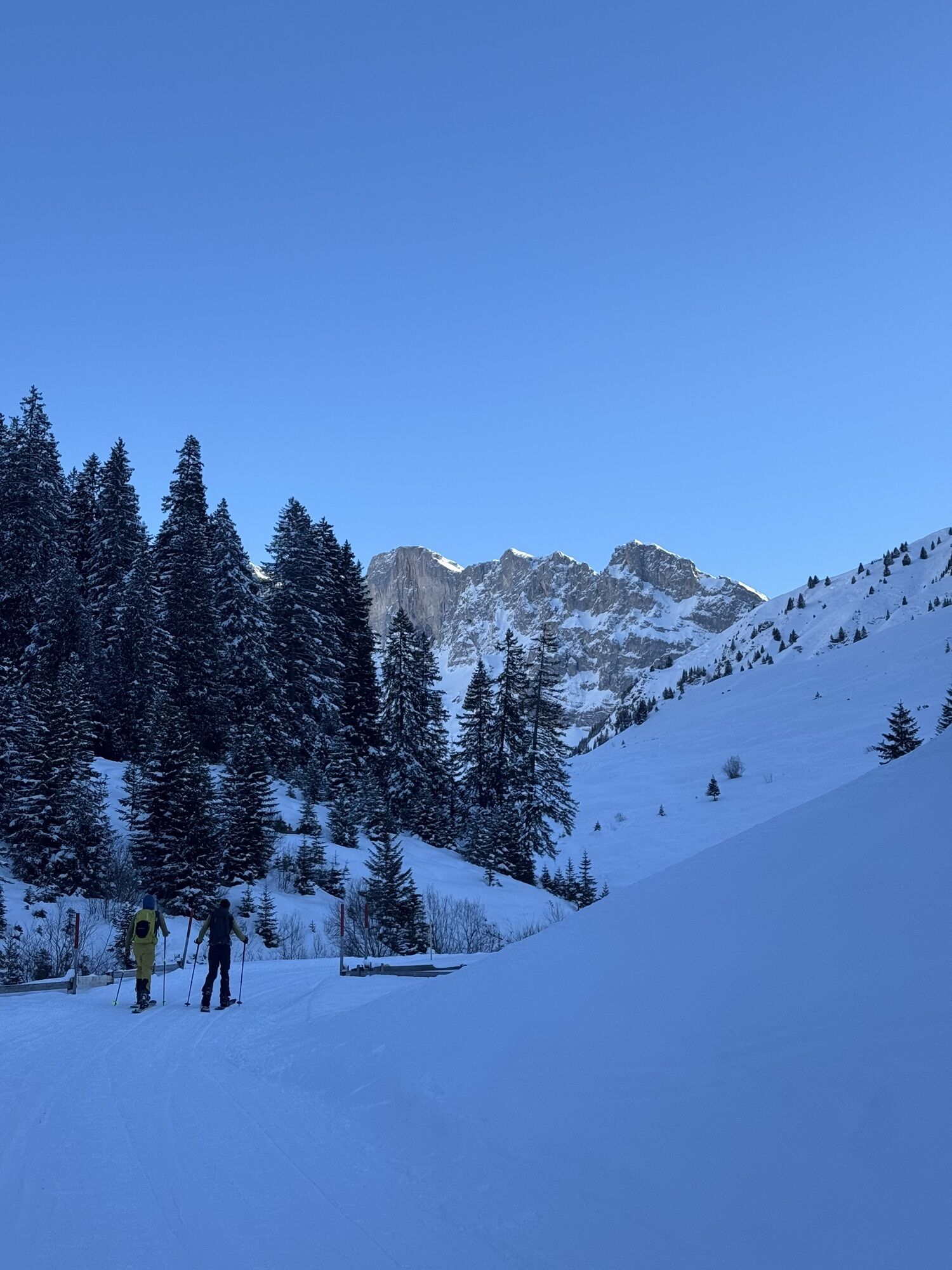
From the winter parking lot (P5) in Rüti (1460 m asl), first follow the winter access path (closed to public traffic in winter) toward Partnun. The path is also used by pedestrians and sledders as an access...
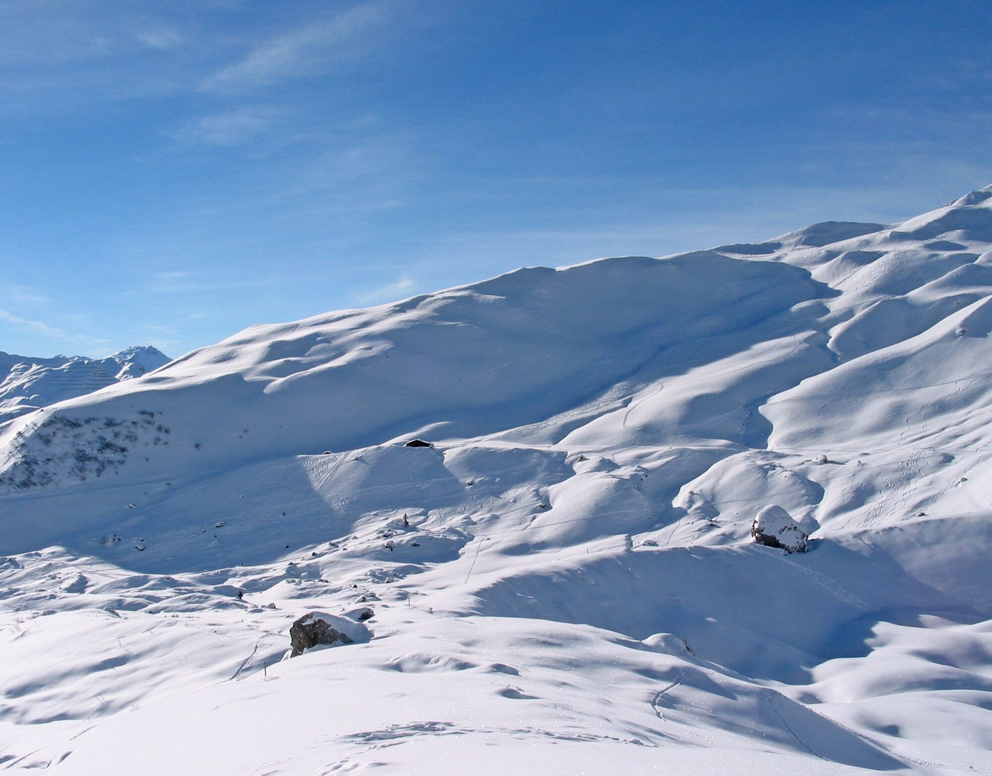
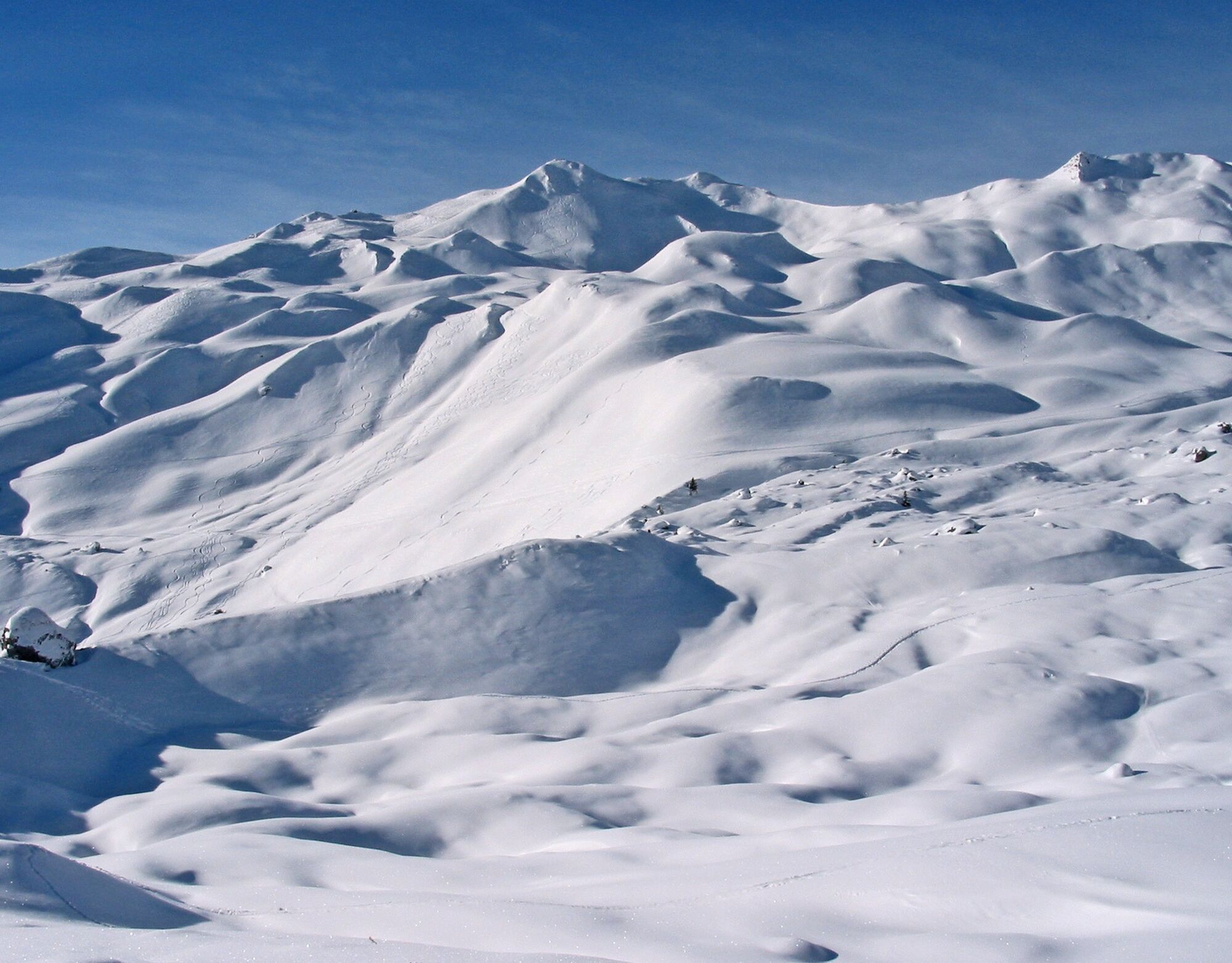
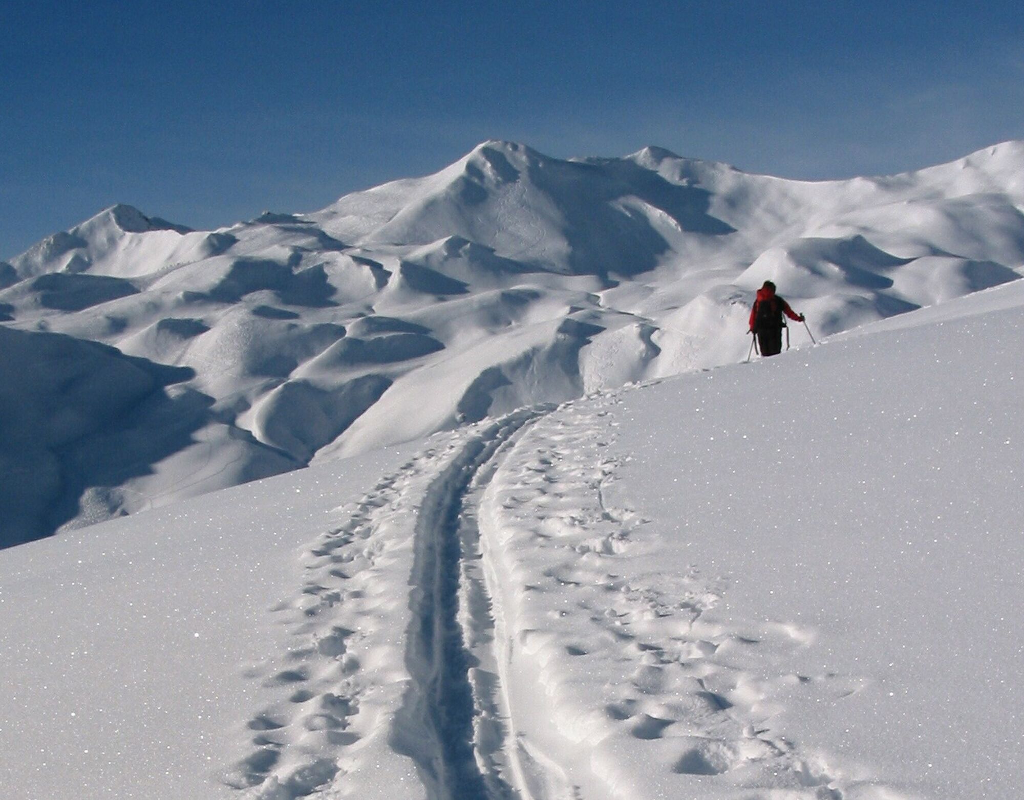
From the winter parking lot (P5) in Rüti (1460 m asl), first follow the winter access path (closed to public traffic in winter) toward Partnun. The path is also used by pedestrians and sledders as an access to the mountain huts. After about half an hour you leave the valley floor (height of Ronenegg 1649 m asl) and cross over a wooden bridge to the left side of the valley, where you more or less follow the summer trail toward Alp Garschina. When you reach the plateau "Ganda," scattered with boulders, the route soon leads left up to Schafberg (north of point 2249). This summit approach is quite steep; alternatively, you can reach the summit via the northeastern ridge.

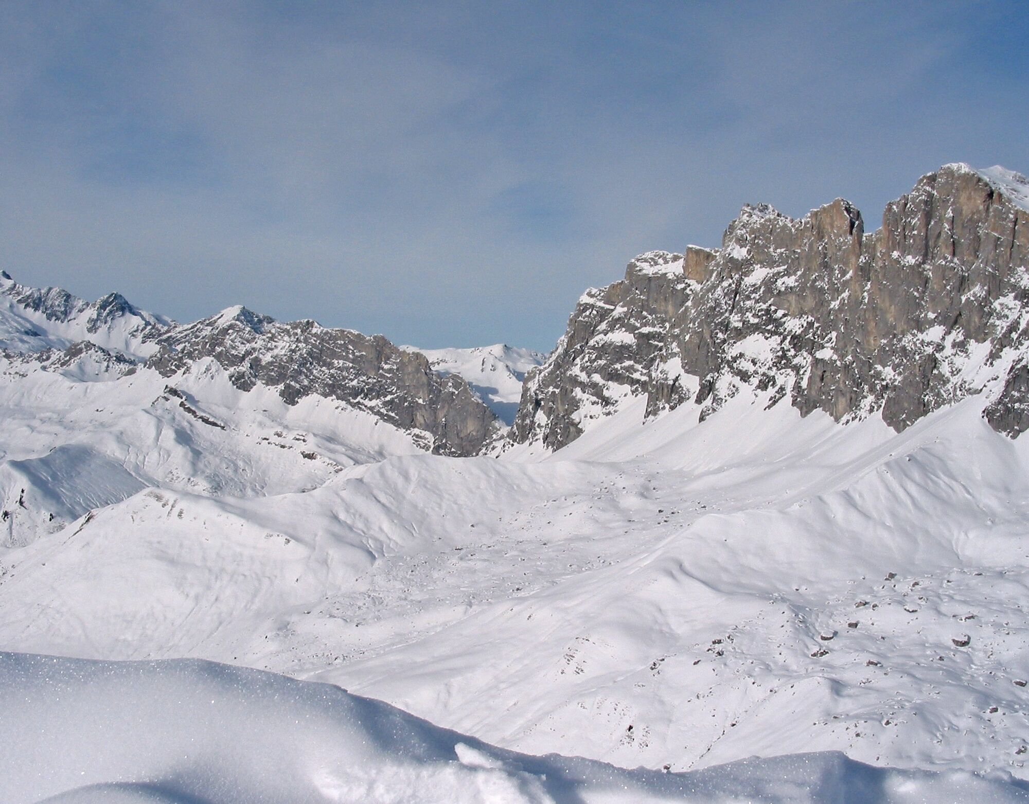
St. Antönien Rüti (1460 m asl) - Alp Carschina Undersäss - Mittelsäss - Obersäss - Ganda - Augstenberg - Schafberg (2456 m asl)
Tak
Ski tour in unsecured terrain. Complete safety equipment (avalanche transceiver, avalanche shovel, probe, mobile phone), knowledge of proper handling and careful route planning are prerequisites.
The ski and snowshoe routes are to be understood as general directional indications. Depending on conditions, ascent and descent routes must be adjusted. No guarantee can be given for the accuracy, completeness and currency of the information.
Practice of ski touring in open terrain is at your own risk. Every tour participant is strongly advised to prepare thoroughly, plan routes carefully and obtain current information on snow and avalanche situation. Avalanche report and snow info: www.slf.ch
Any liability for accidents resulting from the use of the published information and route indications is excluded.
In case of doubt, have experienced tour participants or a mountain guide accompany you: www.praettigau.info/bergfuehrer
Take the A13 and N28 to Küblis, then turn left at the railway crossing within the town towards Pany, Luzein, St. Antönien, until the parking lot (P5) in St. Antönien Rüti.
By train to Schiers or Küblis and by post bus to St. Antönien (timetable field 90.218 or 90.222).
All parking spaces in St. Antönien are chargeable. Parking can be paid in cash, with the Parkingpay app, Easy-Park or Twint.
Prättigau Marketing
Feldweg 19
CH-7233 Jenaz
Tel. +41 (0)81 325 11 11
info@praettigau.info
www.praettigau.info
The ski tour to Schafberg can ideally be combined with the route to Girenspitz. Two magnificent ski tour summits right next to each other!
Popularne wycieczki w okolicy
-
5,0
Ski tour to the Lindauer Hut (1,744 m)
światłoWycieczka narciarska 14,0 km -
4,7
Smuggler’s path
średniTrasa tematyczna 8,60 km -
4,4
Golm-Rundwanderweg im Rätikon
średniTrasa tematyczna 7,28 km -
4,2
Golmerbahn Bergstaion Grüneck - Golmer Höhenweg - Geißspitze - Lindauer Hütte - Latschau
średniWędrówka 11,5 km -
4,7
Over the historic mine and Fritzensee to Rellseck
średniWędrówka 7,25 km -
4,4
Madrisella summit path
średniTrasa tematyczna 10,8 km -
5,0
Douglasshütte, Lünersee, Gafalljoch Brand bei Bludenz, Vorarlberg
światłoWędrówka 9,16 km -
3,0
Bergstation Grüneck Golmerbahn - Alpe Latschätz - Lindauer Hütte - Latschau
światłoWędrówka 11,1 km -
4,7
Douglashütte - Schesaplana
średniWędrówka 7,31 km -
3,3
Wanderbares Zalimtal
średniWędrówka 12,2 km

Wędrówki i tropienie


Nie przegap ofert i inspiracji na następne wakacje
Twój adres e-mail została dodana do listy mailingowej.