


Senda da l'uors - Bear Trail Fuldera d'Aint - Sta. Maria Posta [SwitzerlandMobility No. 581]

The snowshoe trail starts just before Fuldera d'Aint on the right side of the main road. It leads down to the Rombach and continues to the Furom cross-country skiing center. There is a short climb on the...
The snowshoe trail starts just before Fuldera d'Aint on the right side of the main road. It leads down to the Rombach and continues to the Furom cross-country skiing center. There is a short climb on the other side of the road towards the forest, passing the Bärenthemenweg to Valchava. From Valchava, the path leads right along the forest edge. Upon reaching the lime kiln, you can take a brief look inside before continuing towards Sta. Maria. You pass the Pè da Munt campsite, which is open in the summer. On the other side of the road (Umbrail Pass Road), the trail continues to Center da Sanda Val Müstair (hospital). Upon arrival, you must cross the main road again and follow the Rombach until you reach the destination.
This route is signposted.

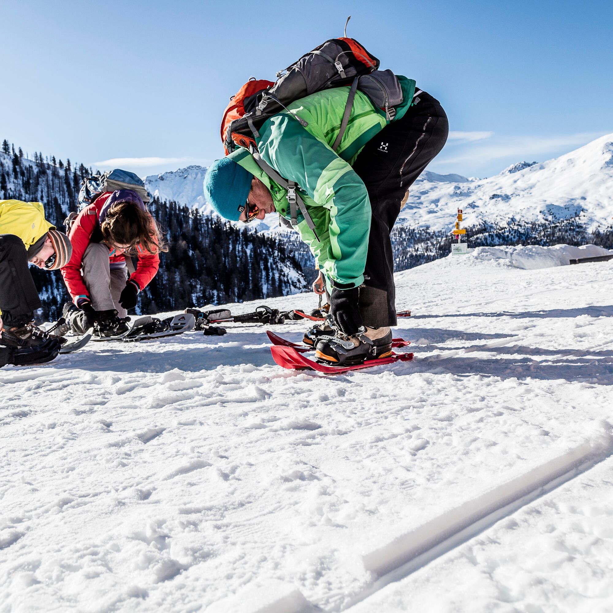
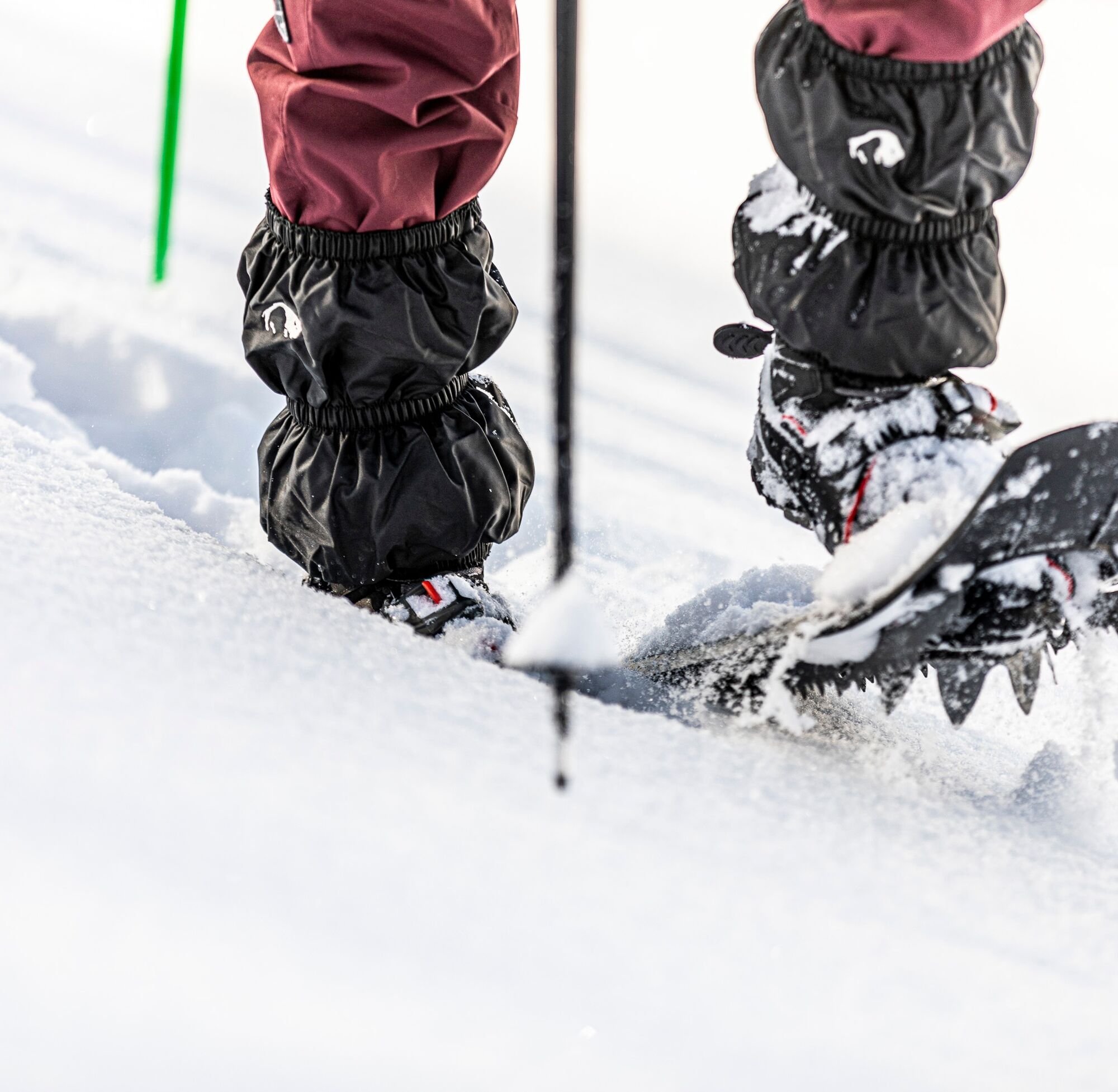
Snowshoe equipment, high and sturdy hiking boots or winter boots, avalanche transceiver including shovel and probe, warm clothing, sun protection.
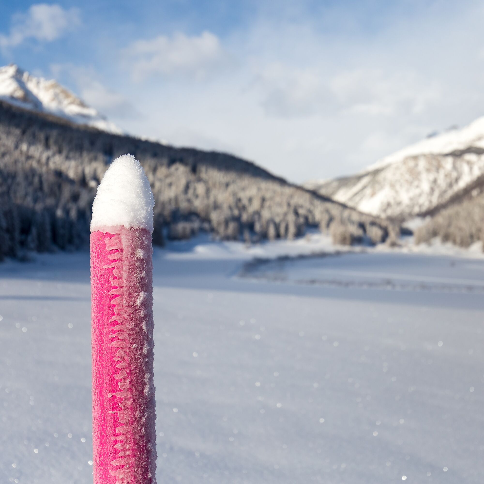
Please pay attention to the condition reports in the winter sports report. The route was rated under favorable weather conditions; the current snow and weather conditions must be checked before setting out.
Emergency numbers:
144 Emergency, First Aid
1414 Mountain Rescue REGA
112 International emergency number
Route is along the valley floor and not exposed. It is strongly recommended to carry an avalanche transceiver with you.
From Zernez via the Ofen Pass to Fuldera. Take the first entrance to Fuldera and turn right to Fuldera d'Aint. Coming from Müstair, drive through Sta. Maria and past Valchava to Fuldera. Take the second entrance to Fuldera and then turn right towards Fuldera d'Aint.
Take the PostBus from Zernez or Müstair and get off at the Fuldera d'Aint stop. At the stop, turn right and walk towards the Fuldera d'Aint village area. The signpost for the snowshoeing trail is located on the main road in Fuldera d'Aint.
Parking available about 50 meters from the trailhead.
Route guidance along the Rombach, with dining options along the way.
Popularne wycieczki w okolicy
- 5,0
Mountain restaurant Plantaptasch (without Lift)
średniWędrówka 3,42 km - 3,7
Payerhütte 3020m
Wędrówka 6,98 km - 5,0
Wanderung/Aufstieg zur Payerhütte
światłoWędrówka 15,9 km - 3,6
Easy hiking rout to the top of the Watles Moutain (2.550 m)
średniWędrówka 2,35 km - 4,3
Sonnenaufgang auf der Rötelspitze im Nationalpark Stilfserjoch
Wędrówka 2,02 km - 4,5
Rundwanderweg Wattles und Sesvenna
światłoWędrówka 16,4 km - 3,4
Sta.Maria, Prà da Vau - Lai da Rims - Alp Sot - Prà da Vau
ciężkiWędrówka 14,7 km - 4,0
National Park: Margunet
światłoWędrówka 7,76 km - 4,3
Ortler – Normalweg
ciężkiWycieczka wysokogórska 7,30 km - 1,0
Tabarettahütte 2555m zur Payerhütte 3020m
Wędrówka 3,82 km
Wędrówki i tropienie


Nie przegap ofert i inspiracji na następne wakacje
Twój adres e-mail została dodana do listy mailingowej.