






San Niclà – Sclamischot
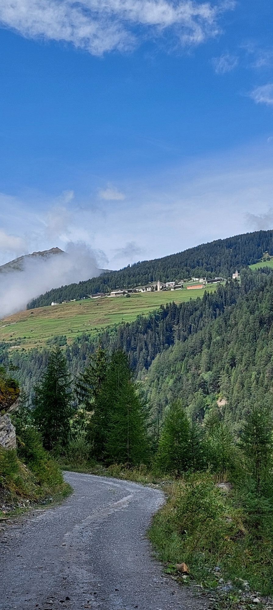
Relaxed snowshoe tour with a slight ascent to the foot of Mot da Lita leads through the forest to Slamischot.
Note:
Snowshoe paths are not prepared and not marked Wildlife protection zones Ravitschals,...Relaxed snowshoe tour with a slight ascent to the foot of Mot da Lita leads through the forest to Slamischot.
Note:
Snowshoe paths are not prepared and not marked Wildlife protection zones Ravitschals, Piz Lad, Piz Nair: 12/20 - 4/20
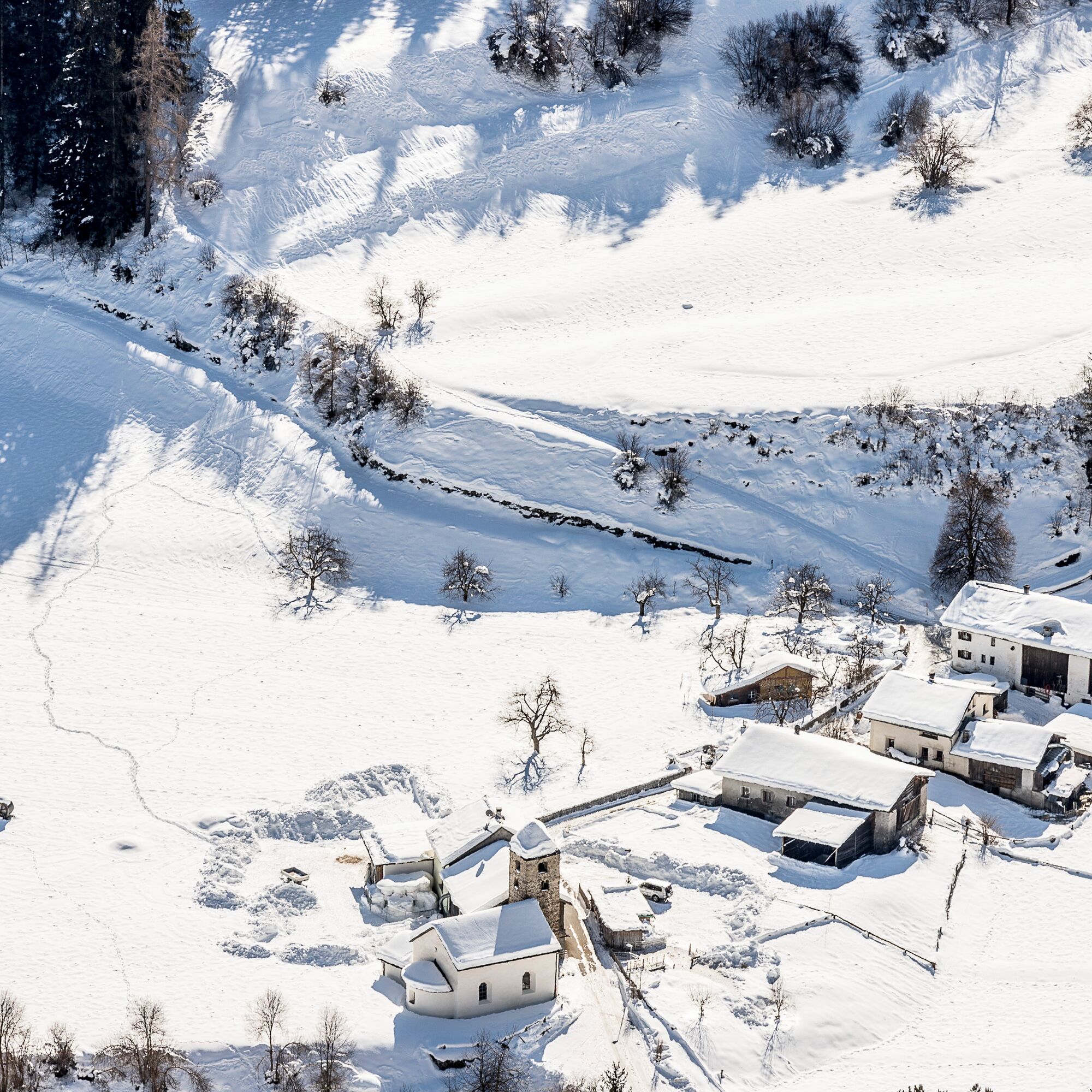

Snowshoe equipment, high and sturdy hiking boots or winter boots, warm clothing, sun protection.
Attention:
Snowshoe tours are undertaken at your own risk. The route is not marked and not prepared. We recommend consulting the avalanche report (www.slf.ch) before starting the tour. In addition, wildlife protection zones must be observed.
Emergency numbers:
144 Emergency, first aid
1414 Mountain Rescue REGA
112 International emergency number
From the north: via Landquart – Klosters by car transport through the Vereina tunnel (Selfranga - Sagliains) or via the Flüela pass into the Lower Engadin on H27
From the east: via Landeck / Austria towards St. Moritz on H27
From the south: via Reschen pass (Nauders-Martina) or Ofen pass (Val Müstair-Zernez) on H27
By car from Scuol towards Martina. Turn right over the bridge to San Niclà
By the Rhaetian Railway (from Chur, Landquart/Prättigau, or from the Upper Engadin) to Scuol-Tarasp.
By PostAuto from Scuol towards Martina. Stop Strada i. E., San Niclà
Parking spaces available in front of the bridge and at the field path
This route can be well combined with a visit to the Romanesque church of San Niclà from the year 1200.
Uzyskaj wgląd
Zawsze na żywo z ponad 9 500 kamer internetowych. bergfex Jako użytkownik Pro, możesz teraz zobaczyć odpowiednie kamery internetowe dla wielu wycieczek w aplikacji wycieczki od. Pozwala to na bezpośredni podgląd aktualnych warunków.
Popularne wycieczki w okolicy
-
4,1
Panoramaweg Schöneben Haider Alm
światłoWędrówka 5,78 km -
4,5
Radurschelklamm
średniWędrówka 7,51 km -
4,2
Reschensee
światłoWędrówka 15,6 km -
4,1
Haidersee - Graun - Trentino-Alto Adige/Südtirol/Italia
światłoWędrówka 4,99 km -
5,0
Samnaun Dorf – Muttler
ciężkiWędrówka 14,8 km -
3,5
Nauders - Bergkastel - Plamort - Reschen - Nauders
średniMountainbike 20,9 km -
4,5
Leonhardskapelle - Deiländerblick - Mein Dörfl Bar-Bungalov - Kapelle zum Hl. Martin
światłoJazda na rowerze 29,2 km -
5,0
Around the Flimspitz from Alptrider Sattel
średniWędrówka 8,57 km -
5,0
Plamort
światłoWędrówka 8,25 km -
4,0
Wanderung über dem Haidersee
średniWędrówka 15,1 km

Wędrówki i tropienie


Nie przegap ofert i inspiracji na następne wakacje
Twój adres e-mail została dodana do listy mailingowej.





