


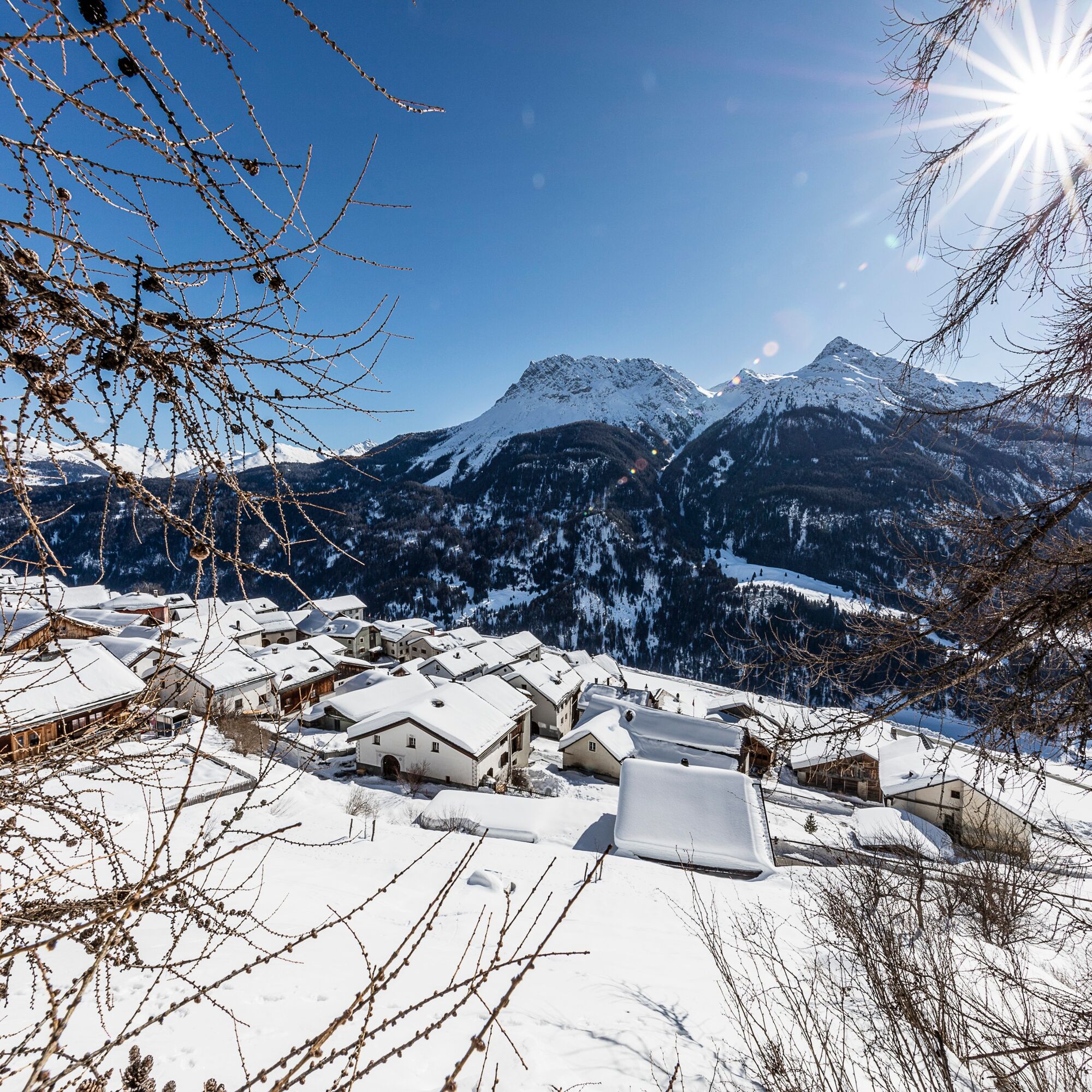
Tschlin – Craistota (round route)
This snowshoe round route leads through the forest God sur las chasas.

Snowshoe equipment, high and sturdy hiking boots or winter boots, warm clothing, sun protection.
Attention:
Snowshoe tours are undertaken at your own risk. The route is not signposted and not prepared. We recommend consulting the avalanche report (www.slf.ch) before starting the tour. Furthermore, wildlife protection zones must be observed.
Emergency numbers:
144 Emergency, first aid
1414 Mountain rescue REGA
112 International emergency number
Tschlin can be reached from the Engadin road H27 near Strada in 10 minutes by car (45 minutes driving time from the south portal of Vereina).
Hourly with the Rhaetian Railway (from Chur, Landquart/Prättigau or from Upper Engadin) to Scuol-Tarasp
Continue with the PostBus to the PostBus stop Tschlin, cumün with change in Strada i. E., Cuncalada
Hourly with the PostBus (from Martina, Sent, Ftan or Tarasp) to the PostBus stop Tschlin, cumün
Paid parking spaces at the entrance to Tschlin
Snowshoeing in the Engadin is a real insider tip in Graubünden due to its many remote mountain valleys. Discover the natural treasures on a snowshoe tour through the region. engadin.com/schneeschuhlaufen
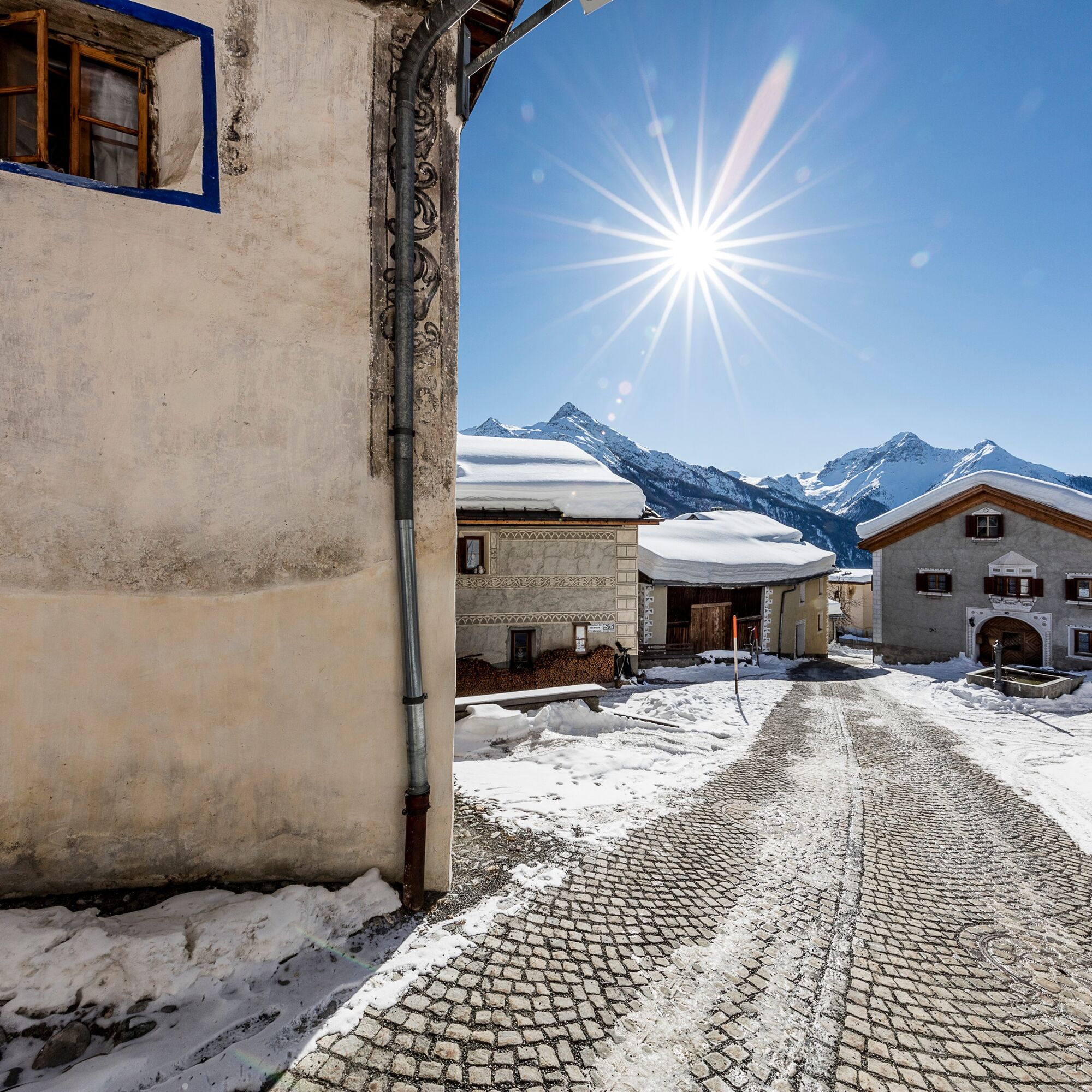
At the beginning or end of the route, a walk through the idyllic village of Tschlin is recommended.
Popularne wycieczki w okolicy
-
4,1
Panoramaweg Schöneben Haider Alm
światłoWędrówka 5,78 km -
4,2
Reschensee
światłoWędrówka 15,6 km -
4,5
Radurschelklamm
średniWędrówka 7,51 km -
5,0
Samnaun Dorf – Muttler
ciężkiWędrówka 14,8 km -
3,5
Nauders - Bergkastel - Plamort - Reschen - Nauders
średniMountainbike 20,9 km -
4,7
Leonhardskapelle - Deiländerblick - Mein Dörfl Bar-Bungalov - Kapelle zum Hl. Martin
światłoJazda na rowerze 29,2 km -
5,0
Around the Flimspitz from Alptrider Sattel
średniWędrówka 8,57 km -
5,0
Plamort
światłoWędrówka 8,25 km -
5,0
San Jon – Chamonna Lischana (return)
średniWędrówka 12,0 km -
3,6
Bergstation Silvretta nach Patznauener Taja
światłoWędrówka 11,6 km

Wędrówki i tropienie


Nie przegap ofert i inspiracji na następne wakacje
Twój adres e-mail została dodana do listy mailingowej.