







Padella-Corviglia-Panorama route, adapted for e-mountain biking
Poziom trudności: 3
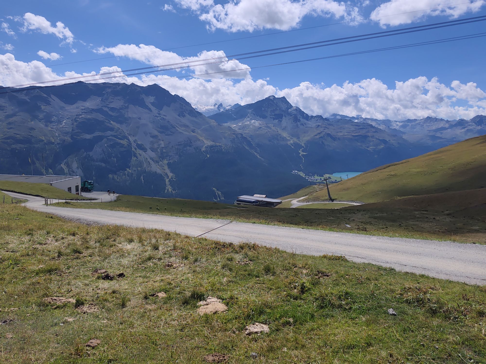
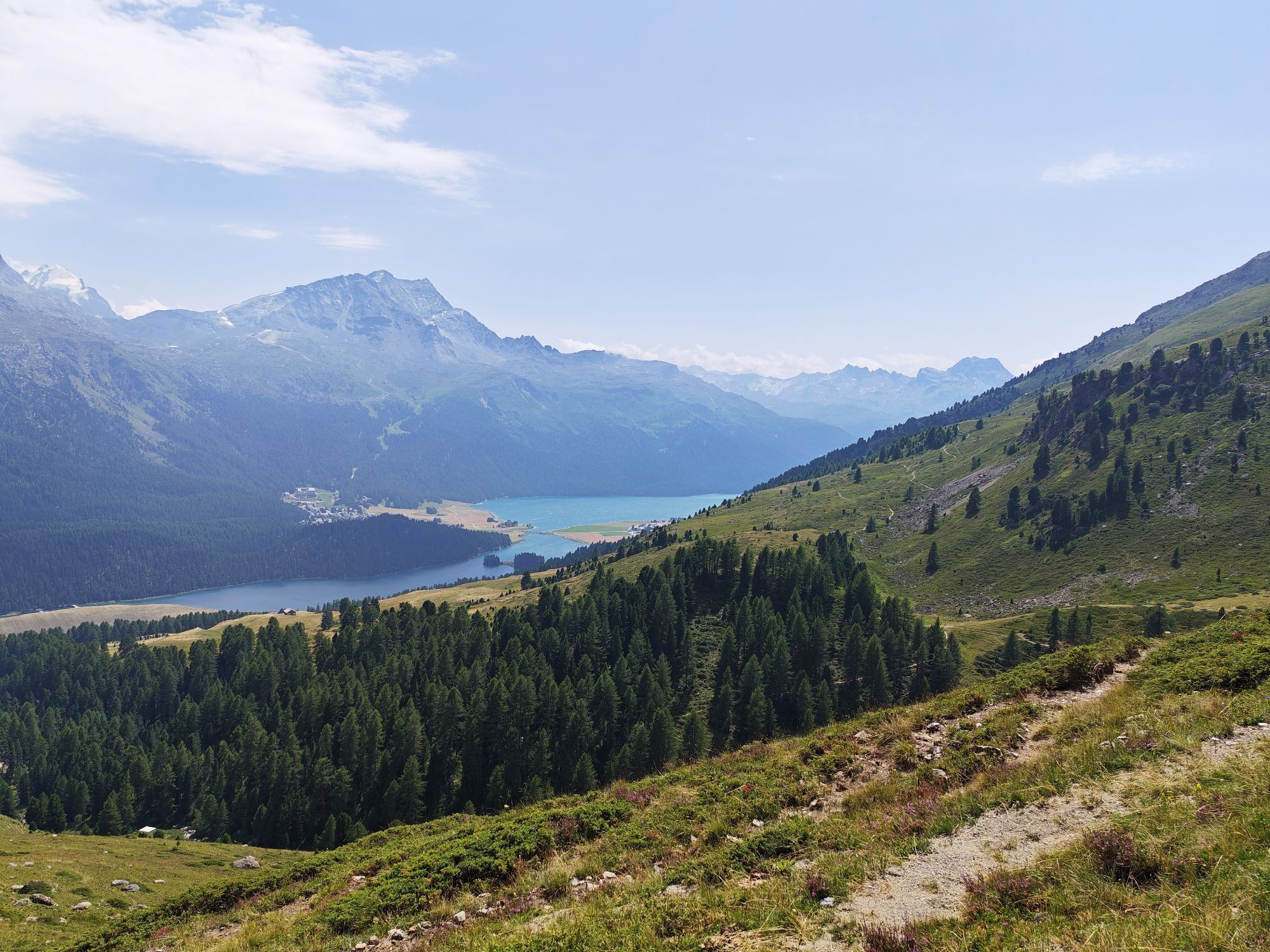
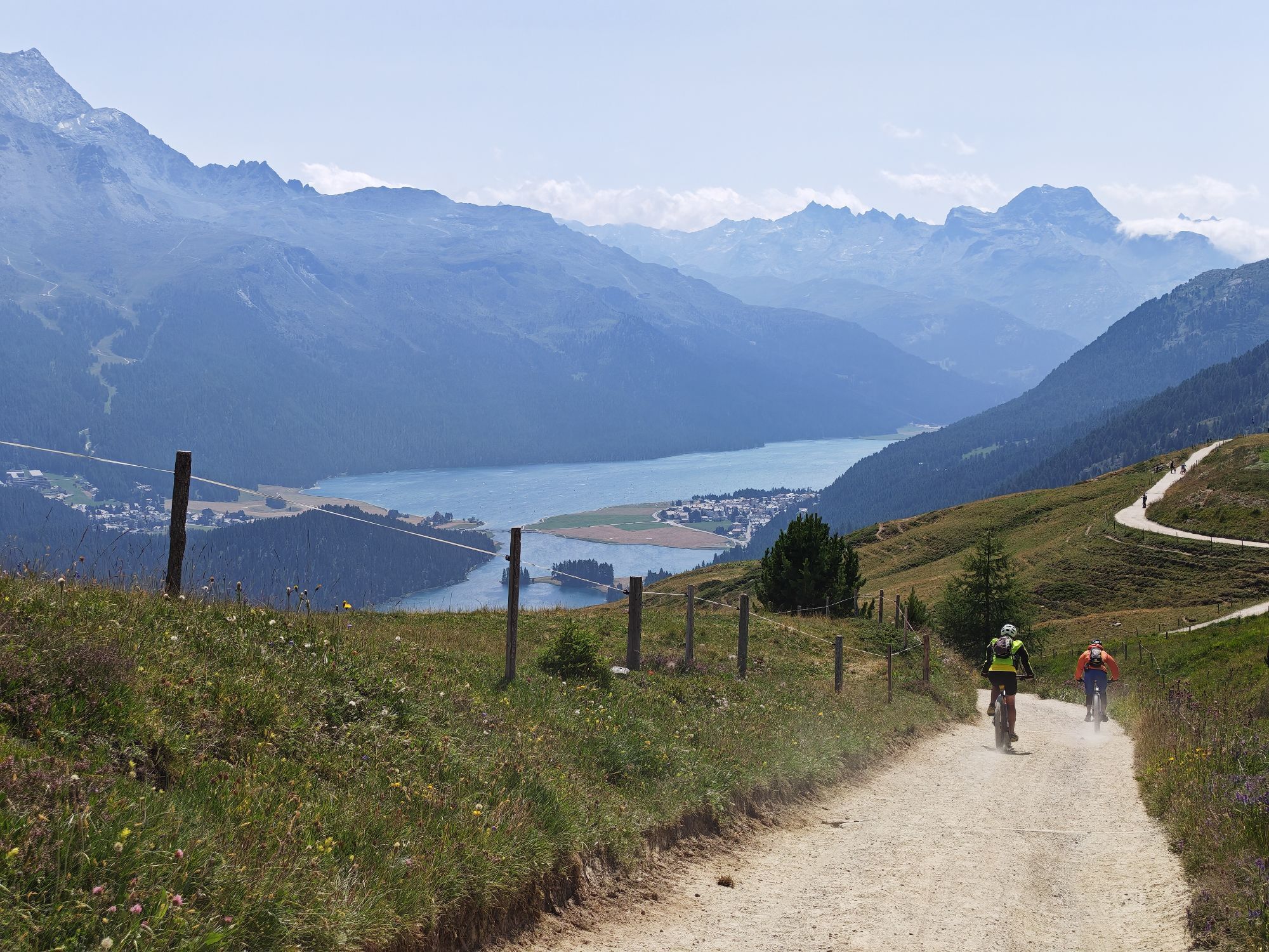
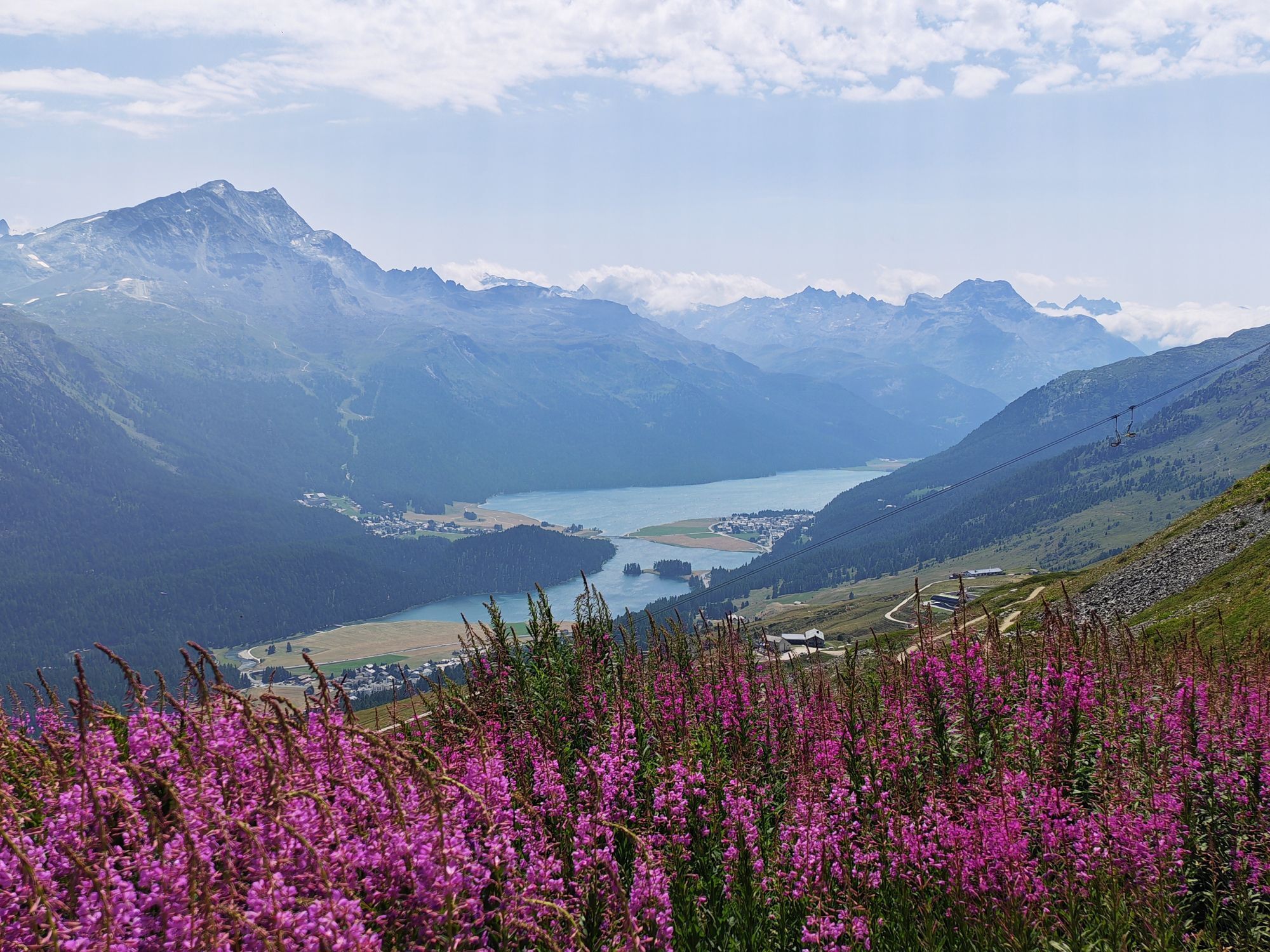
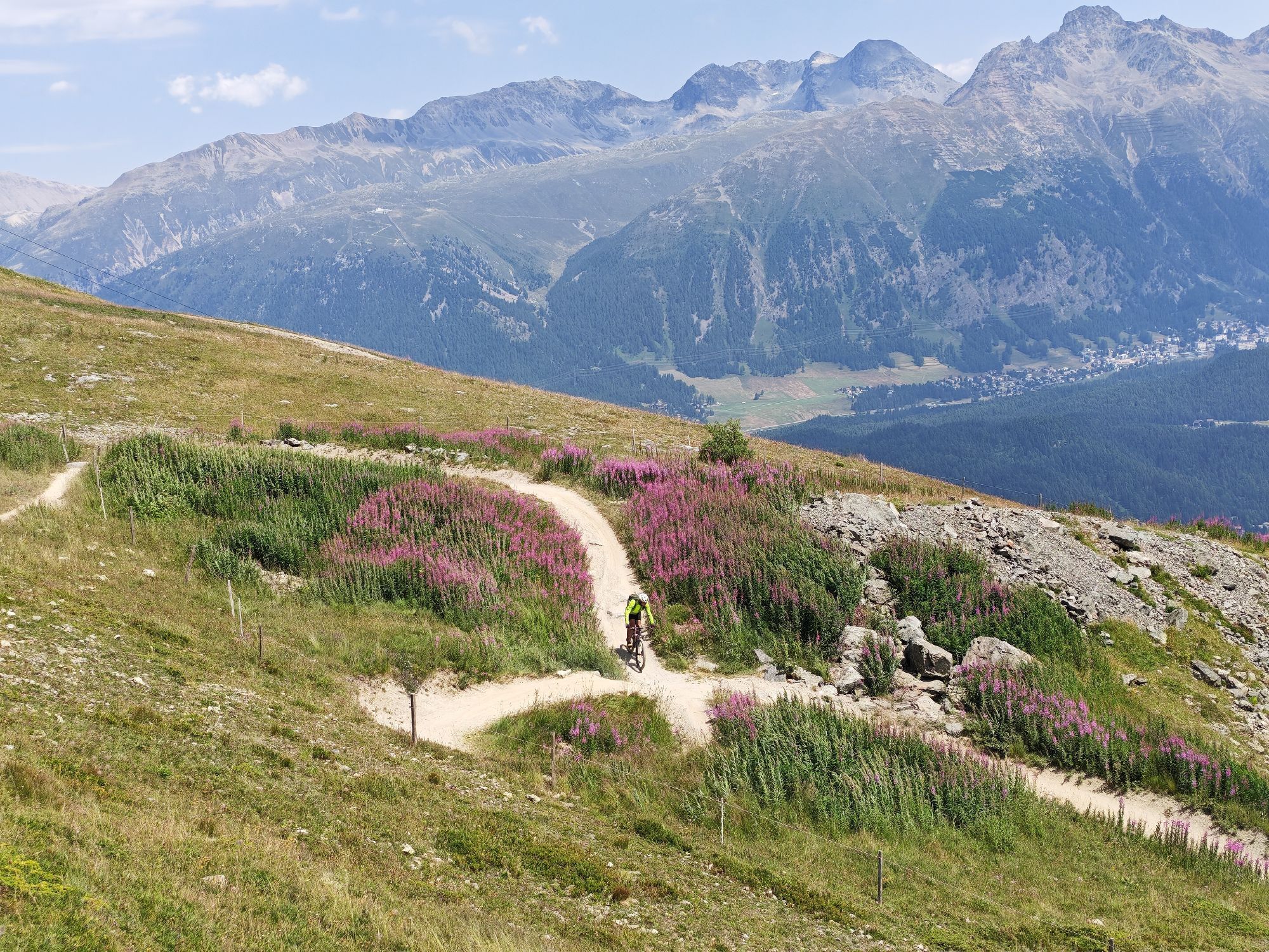
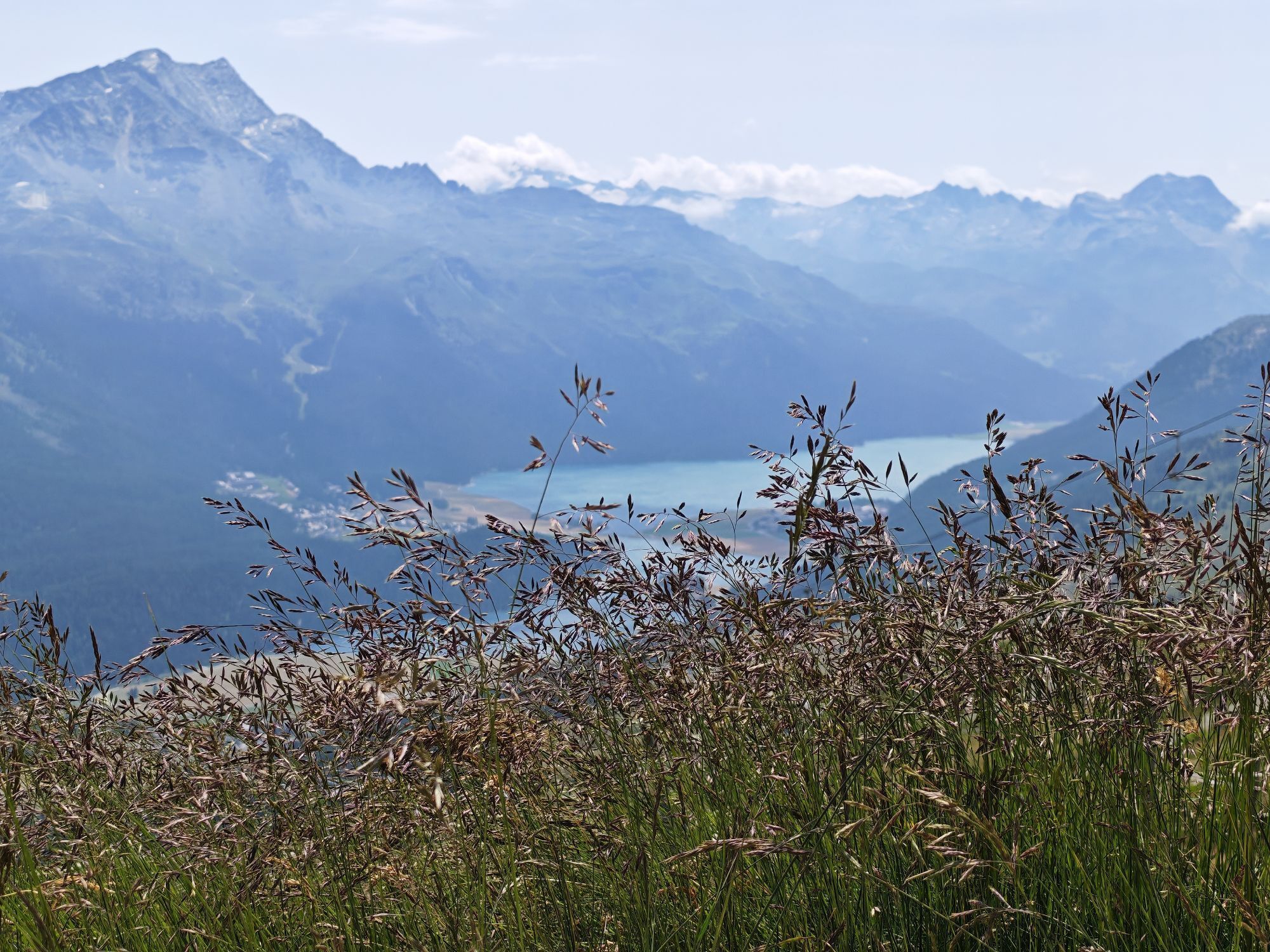
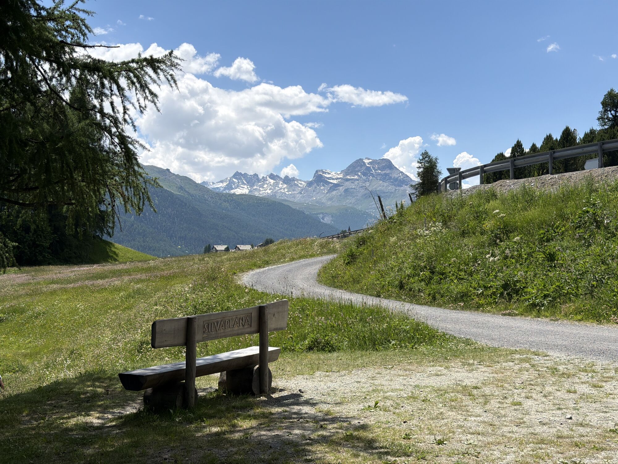
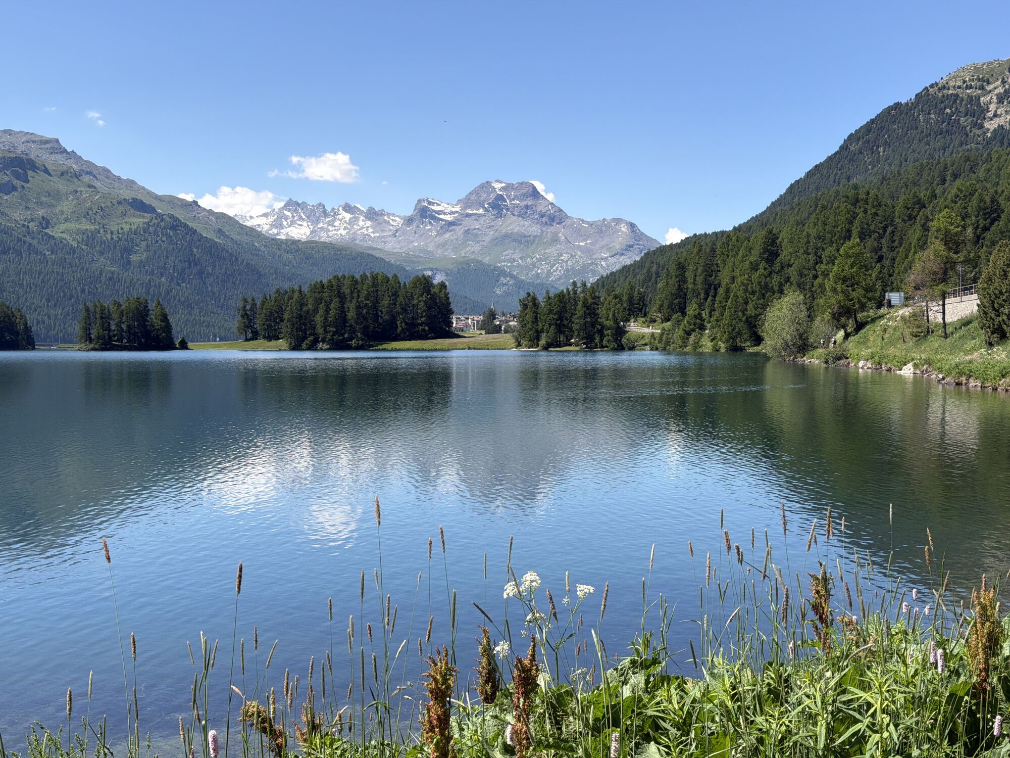
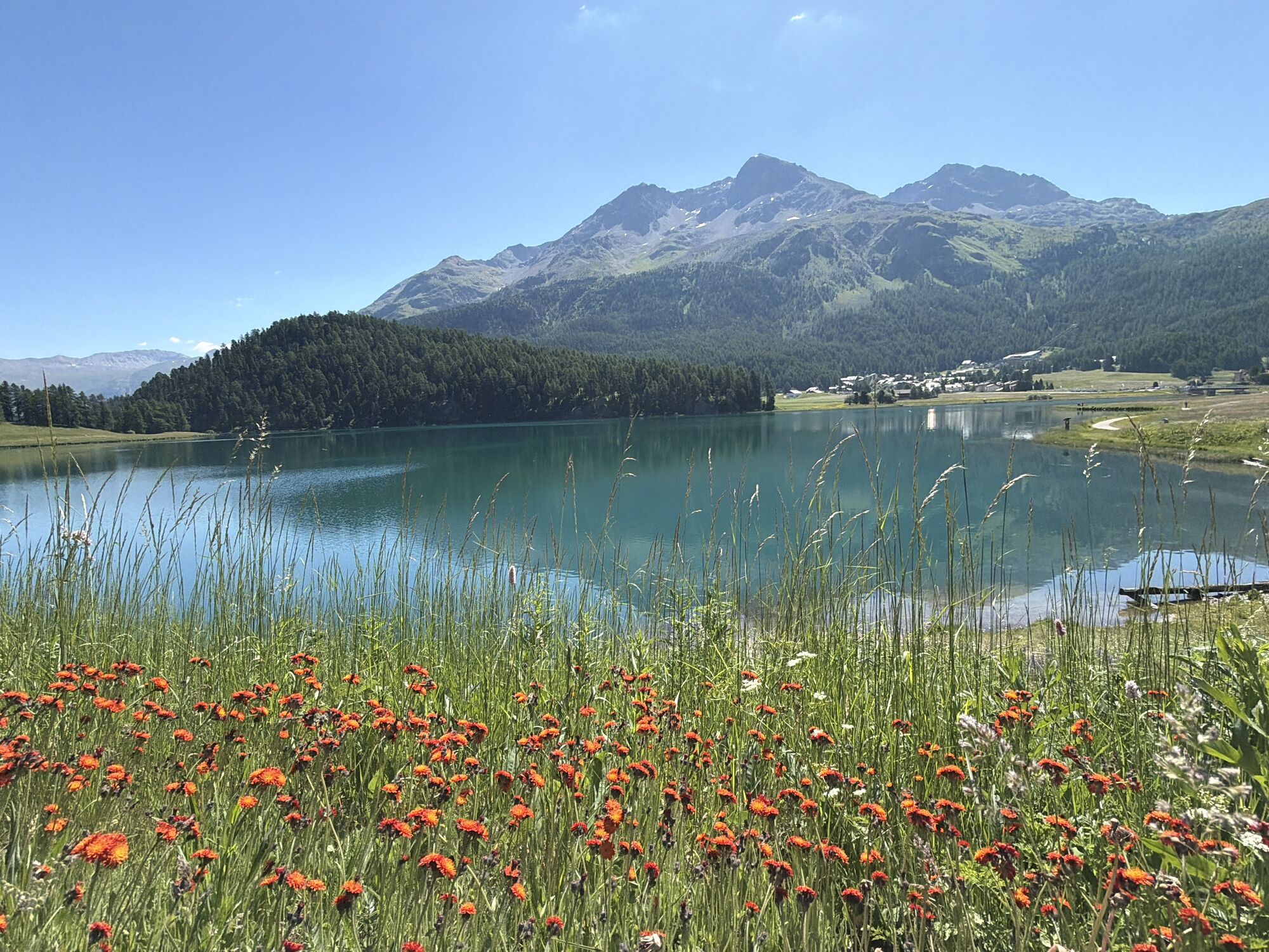
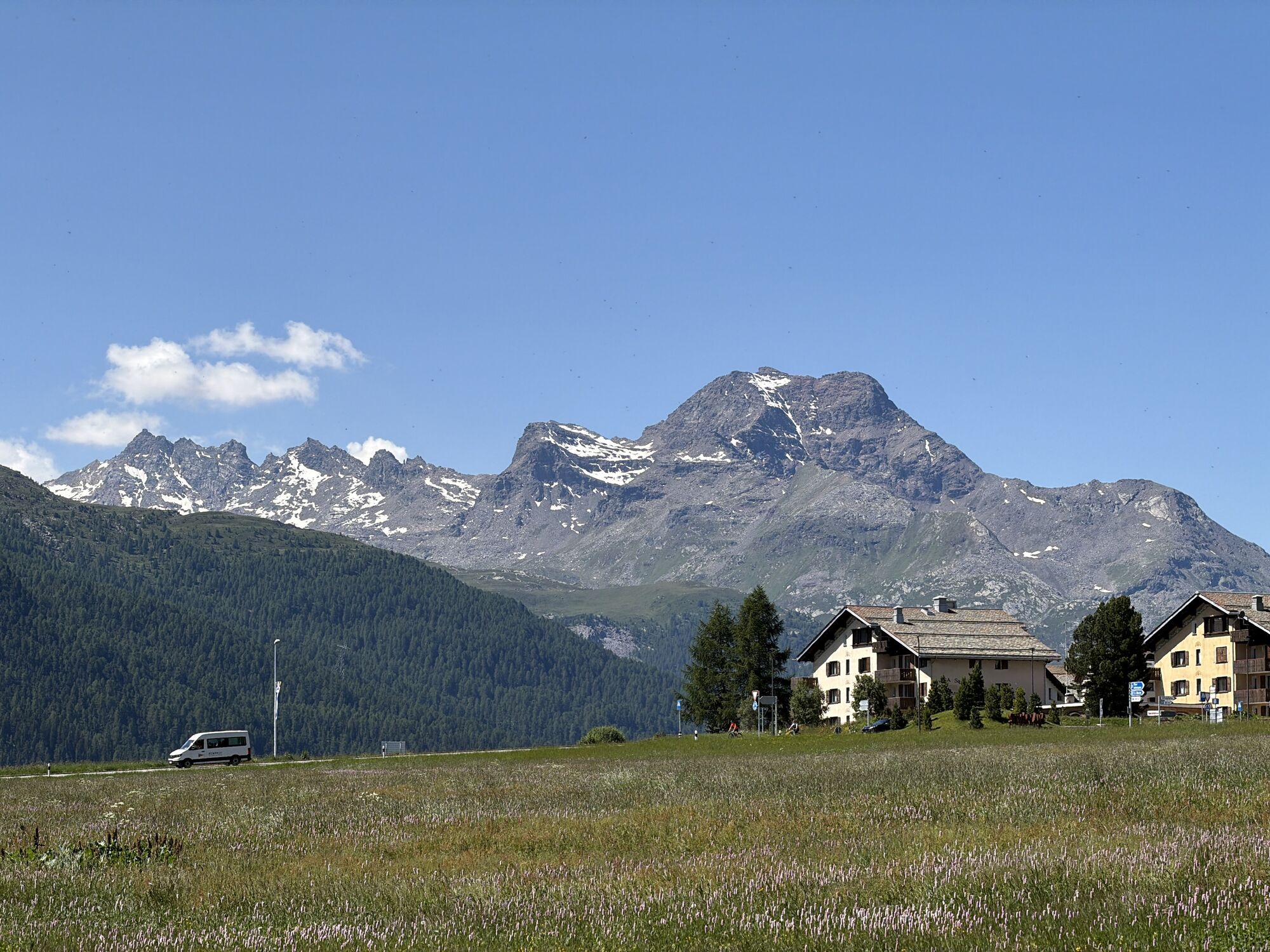
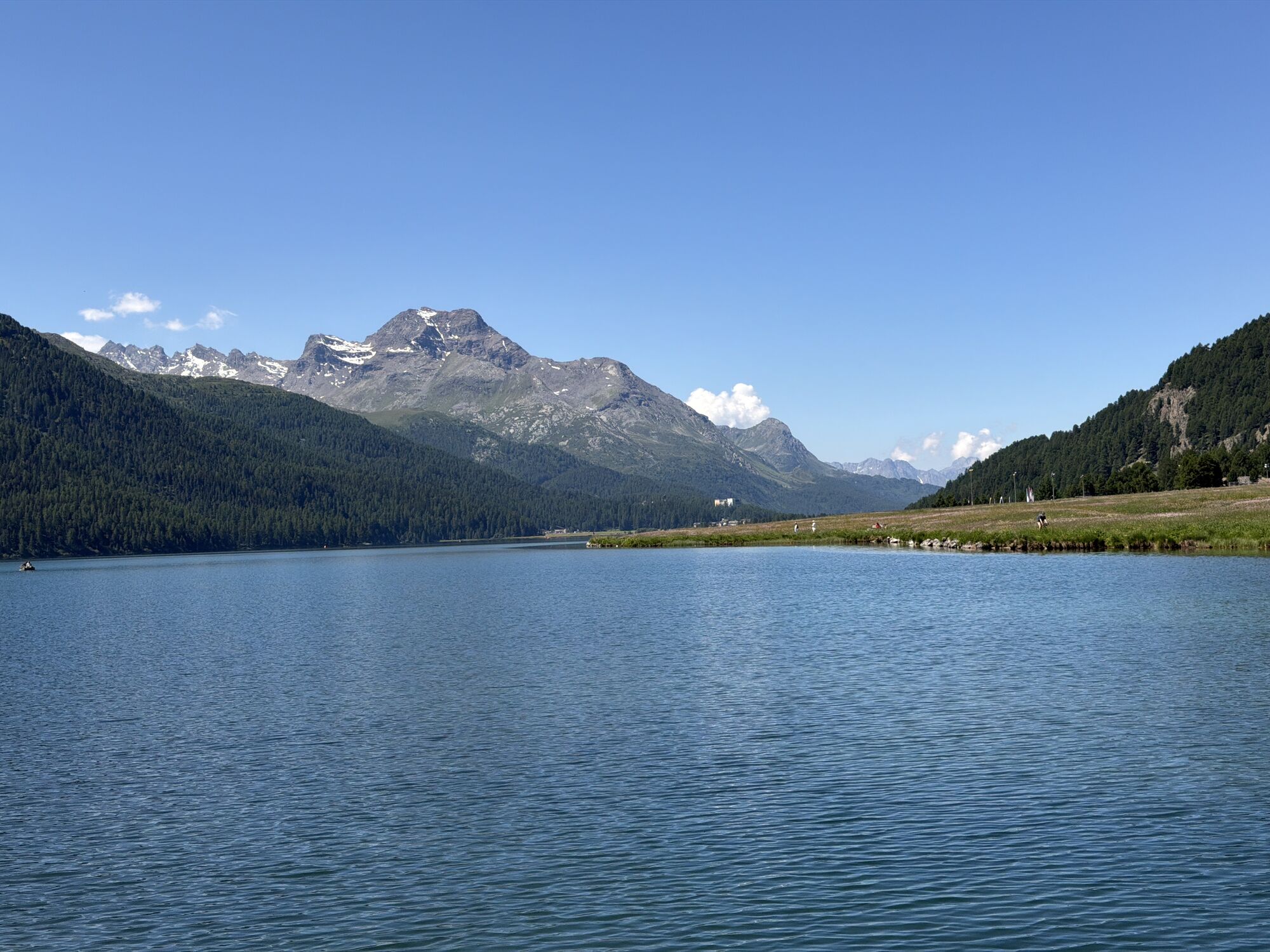
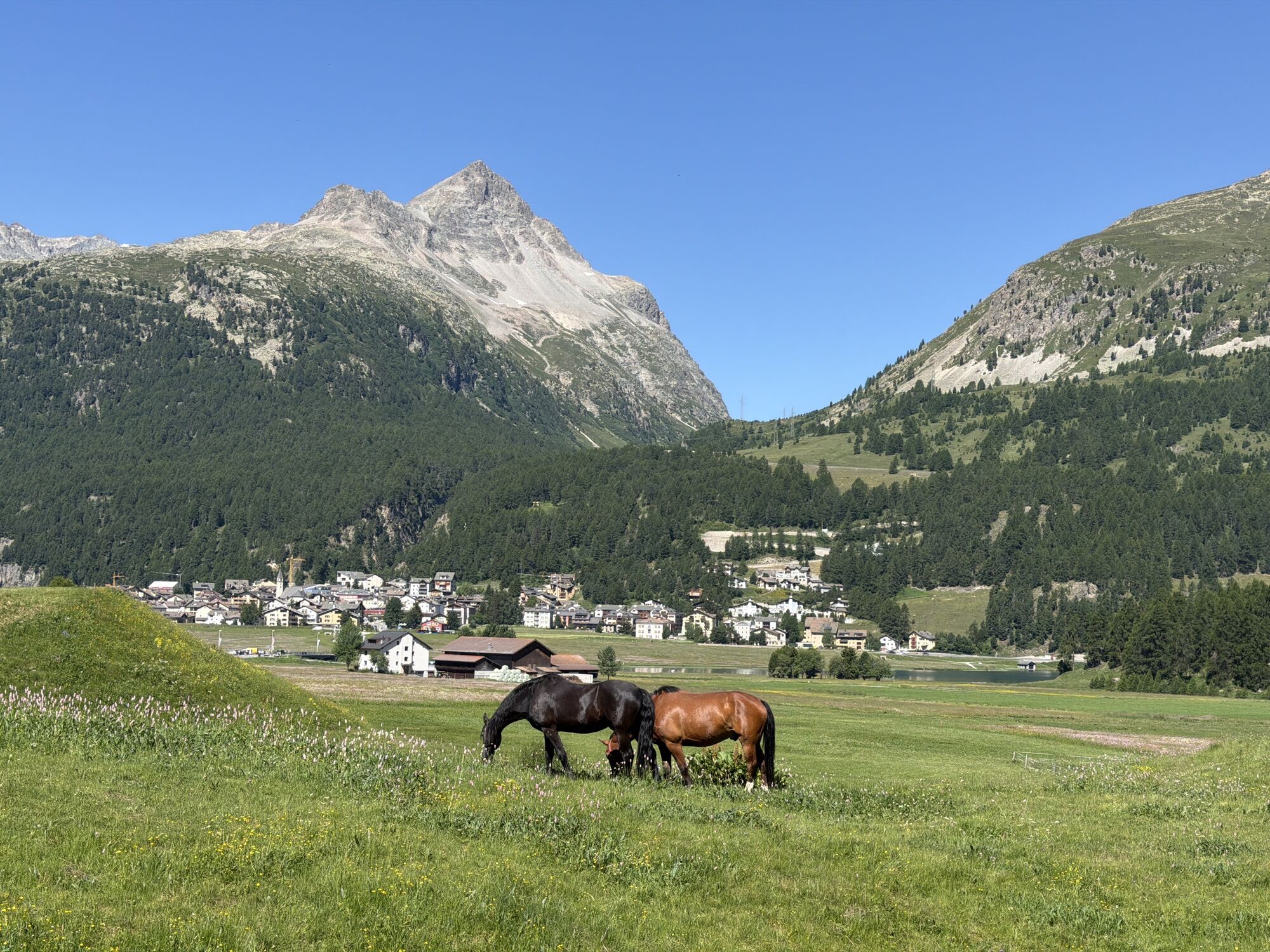
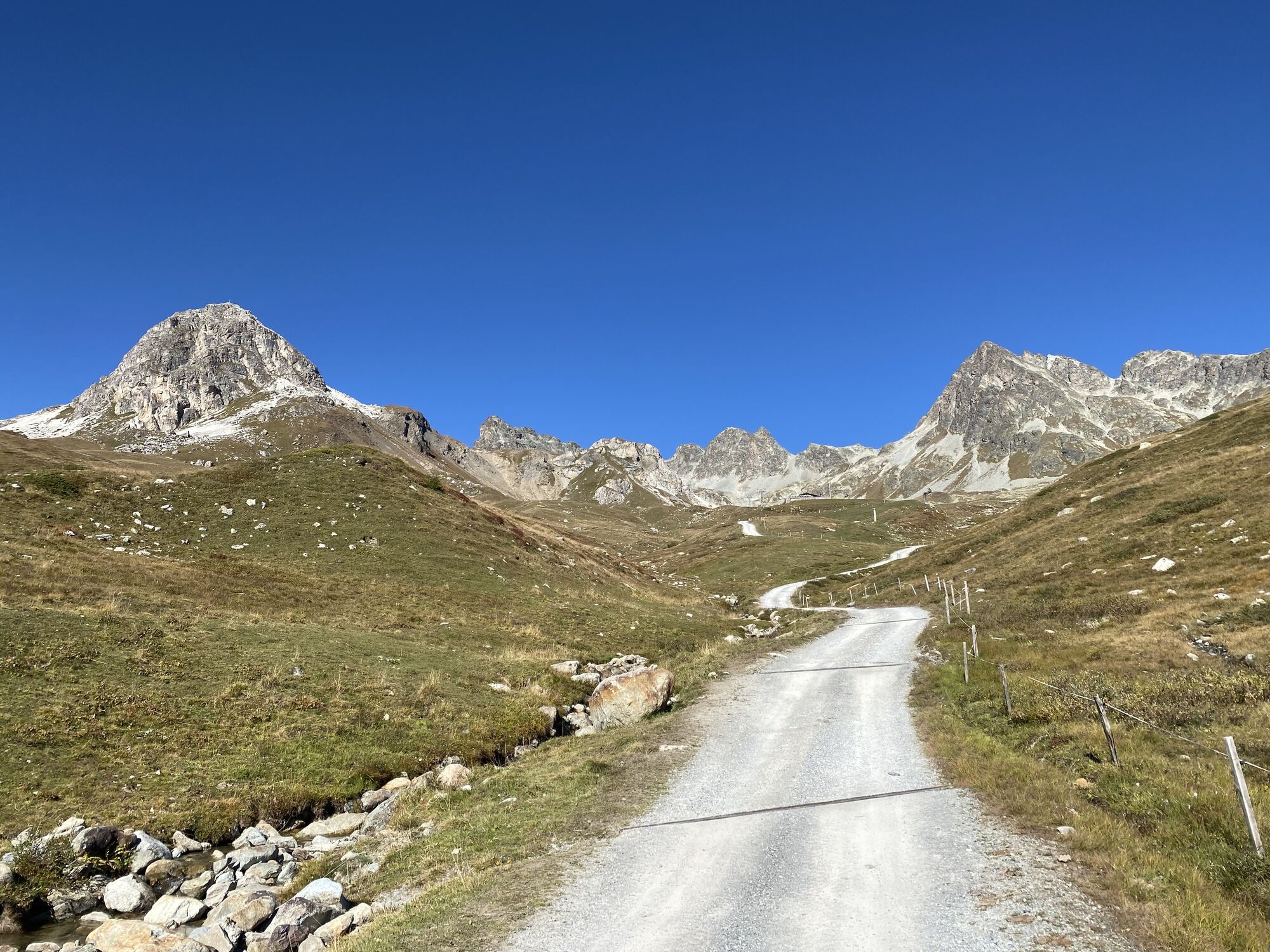

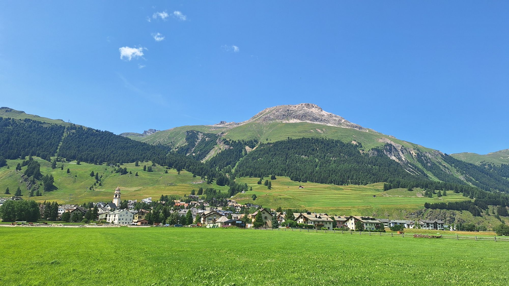
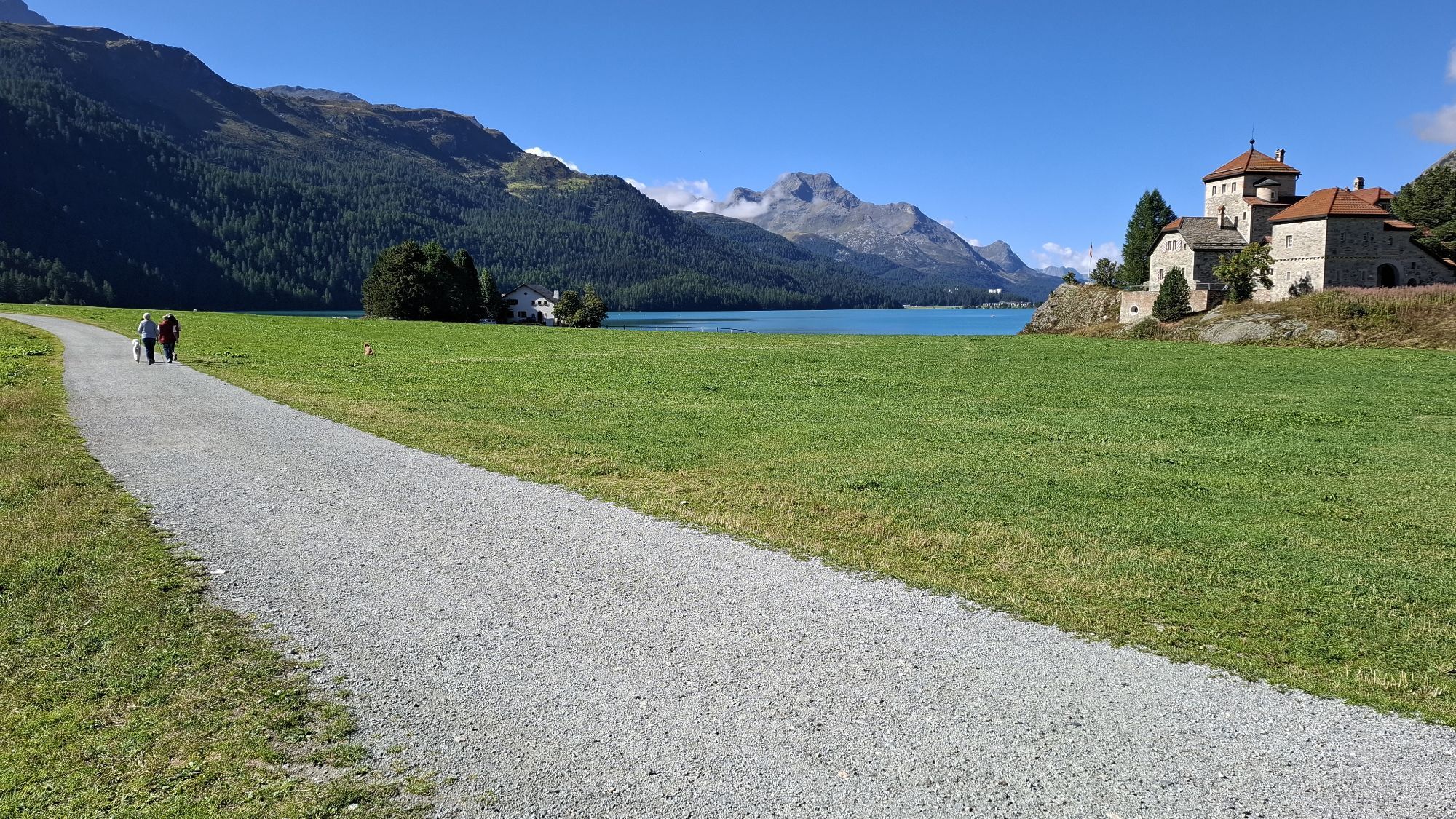
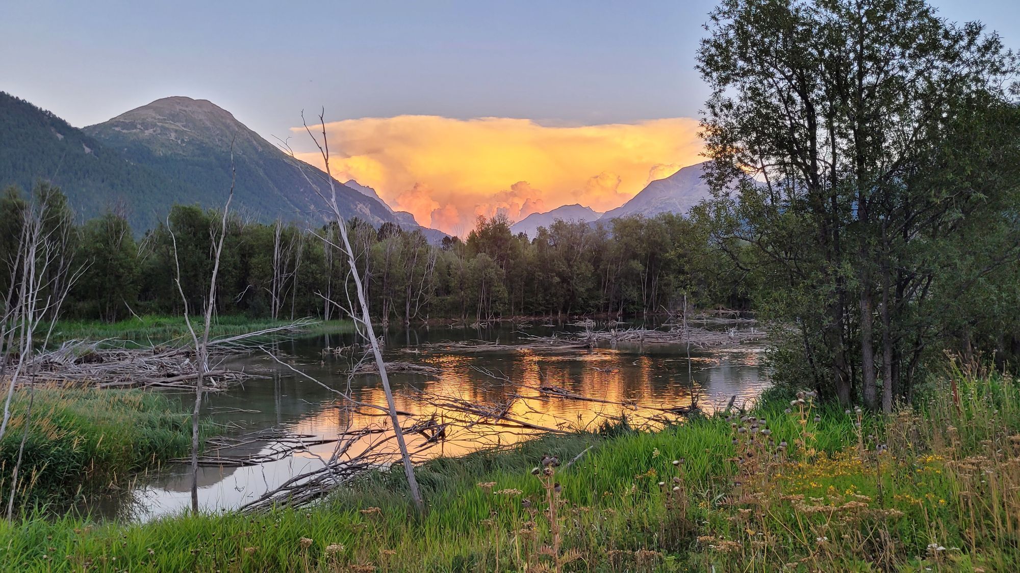
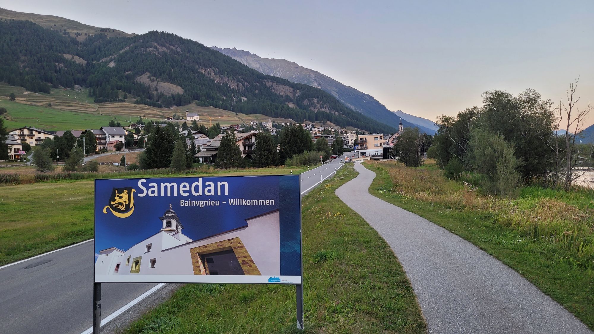
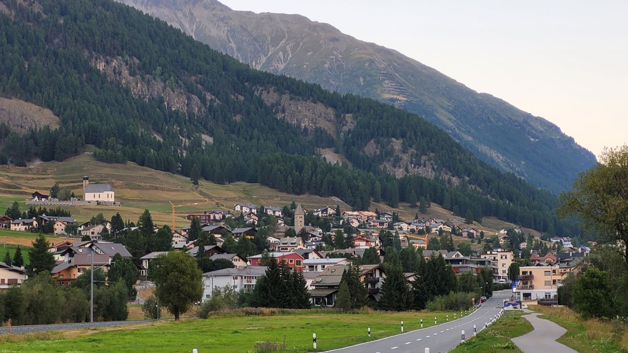
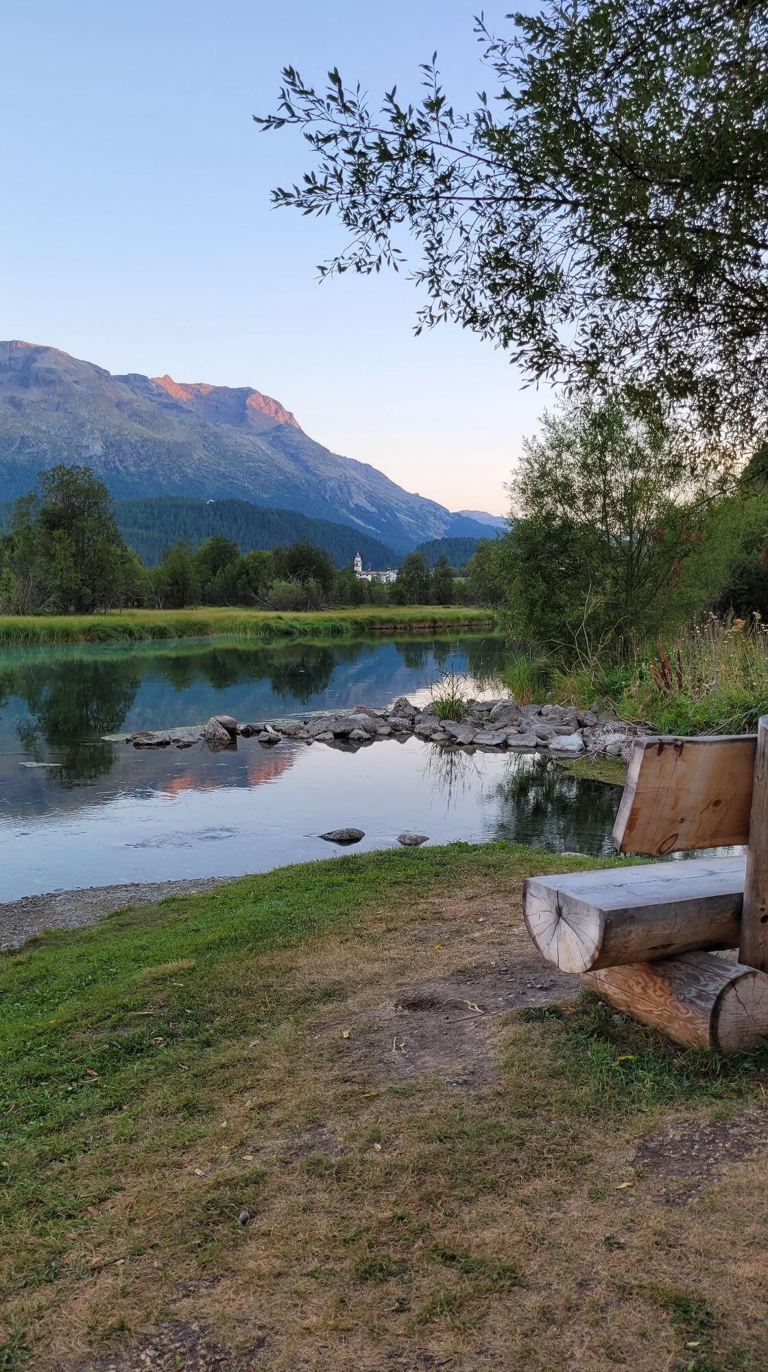
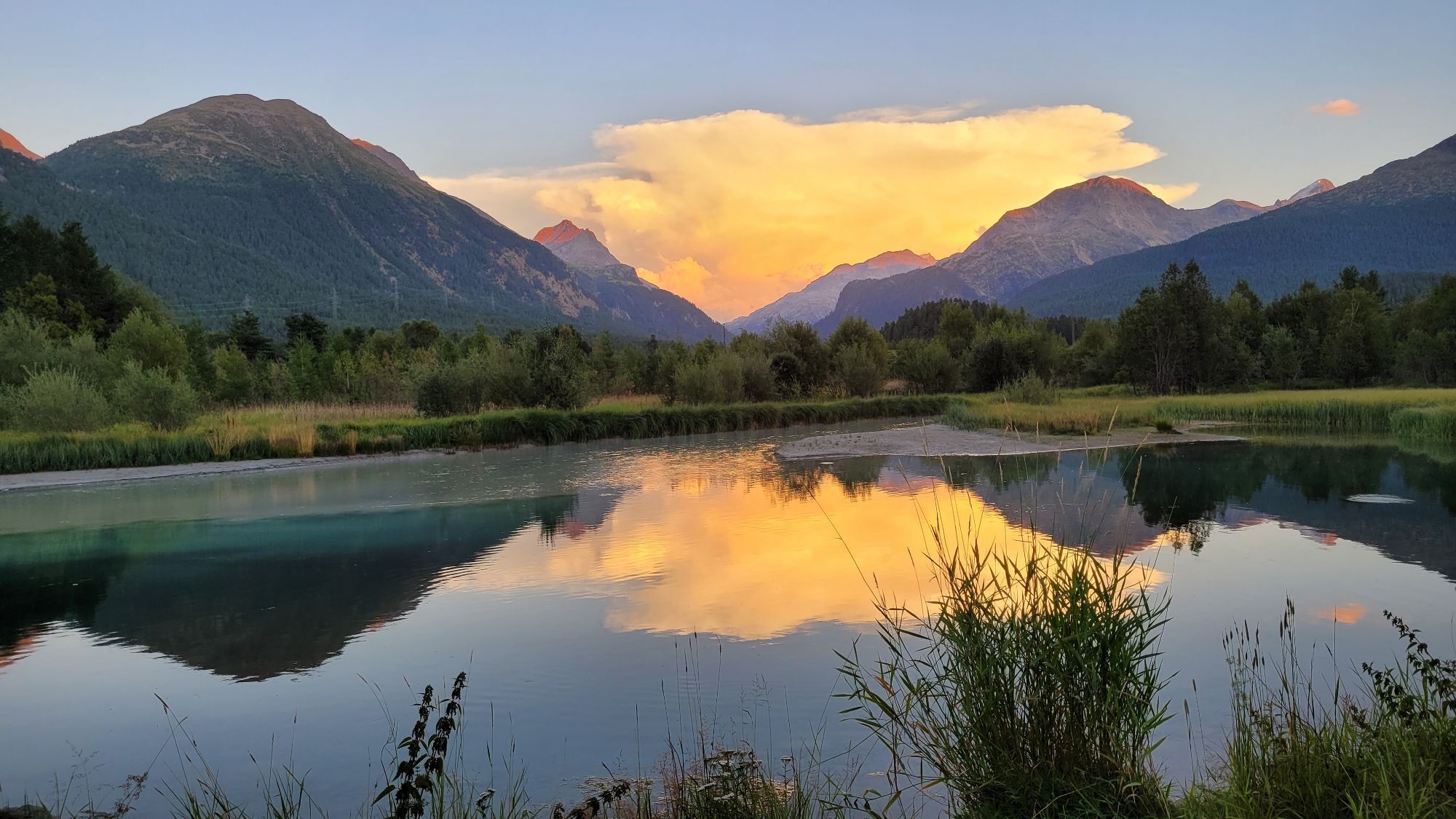
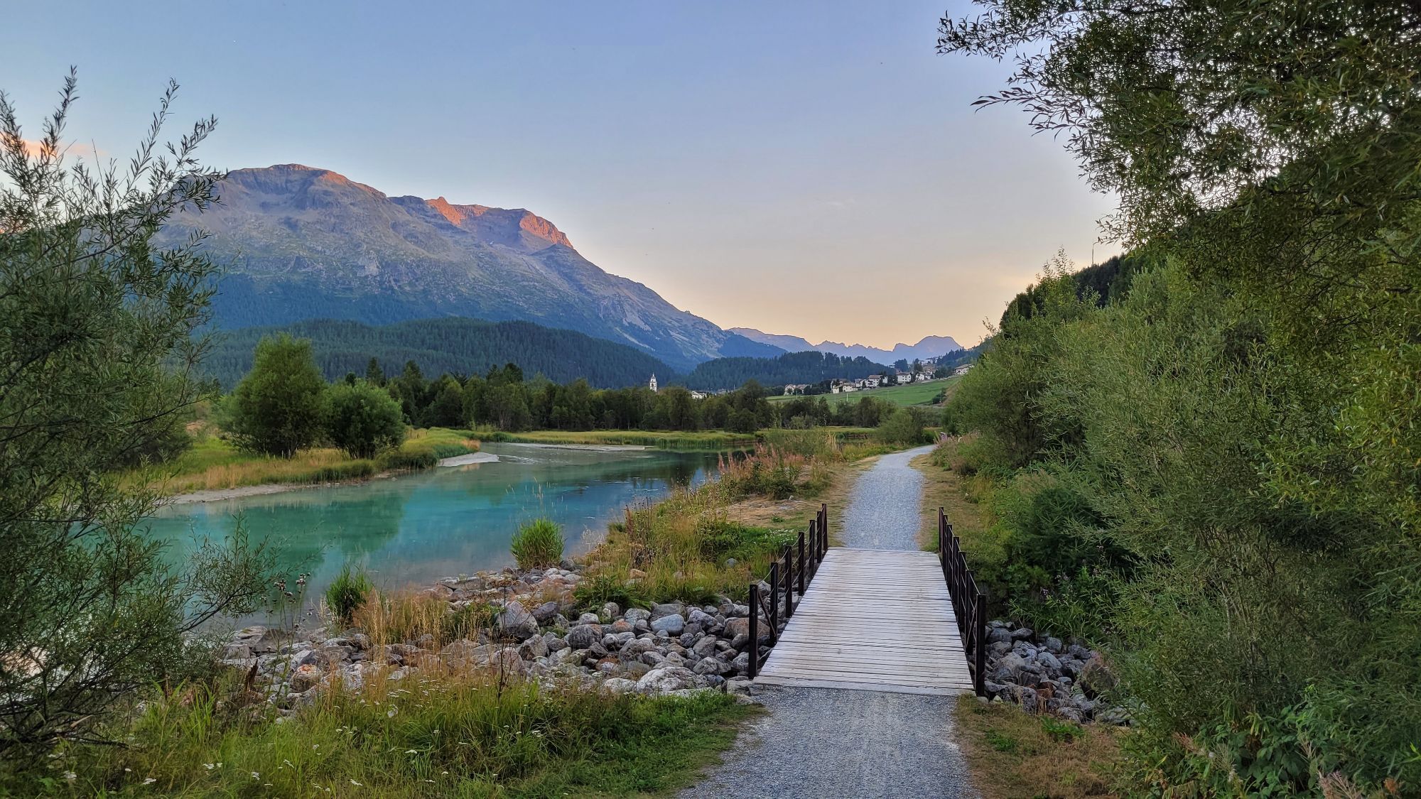
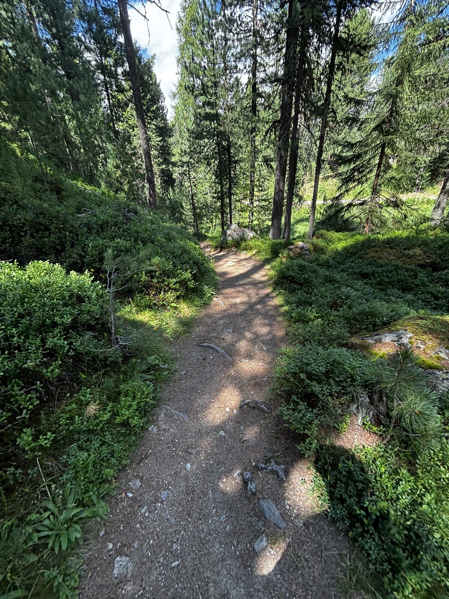
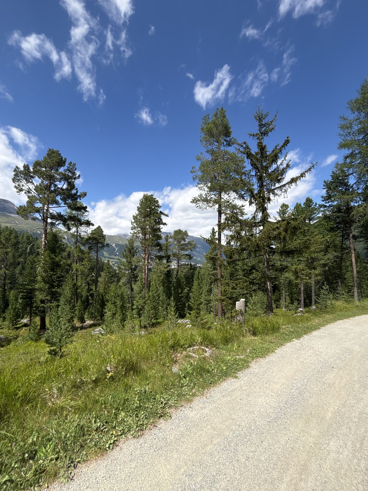
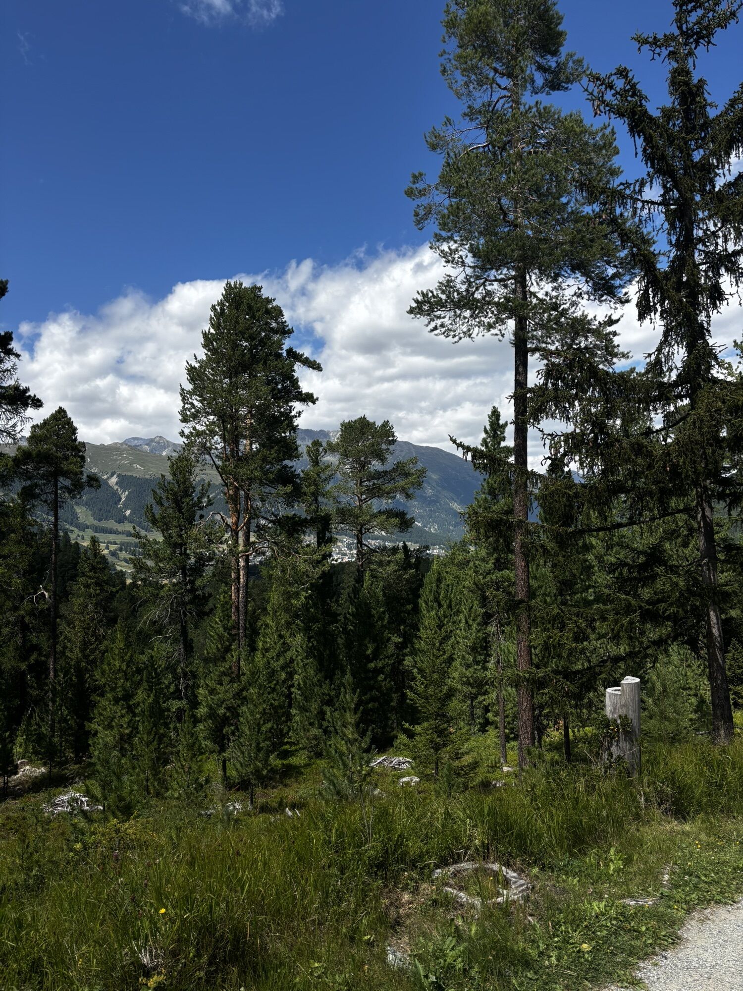
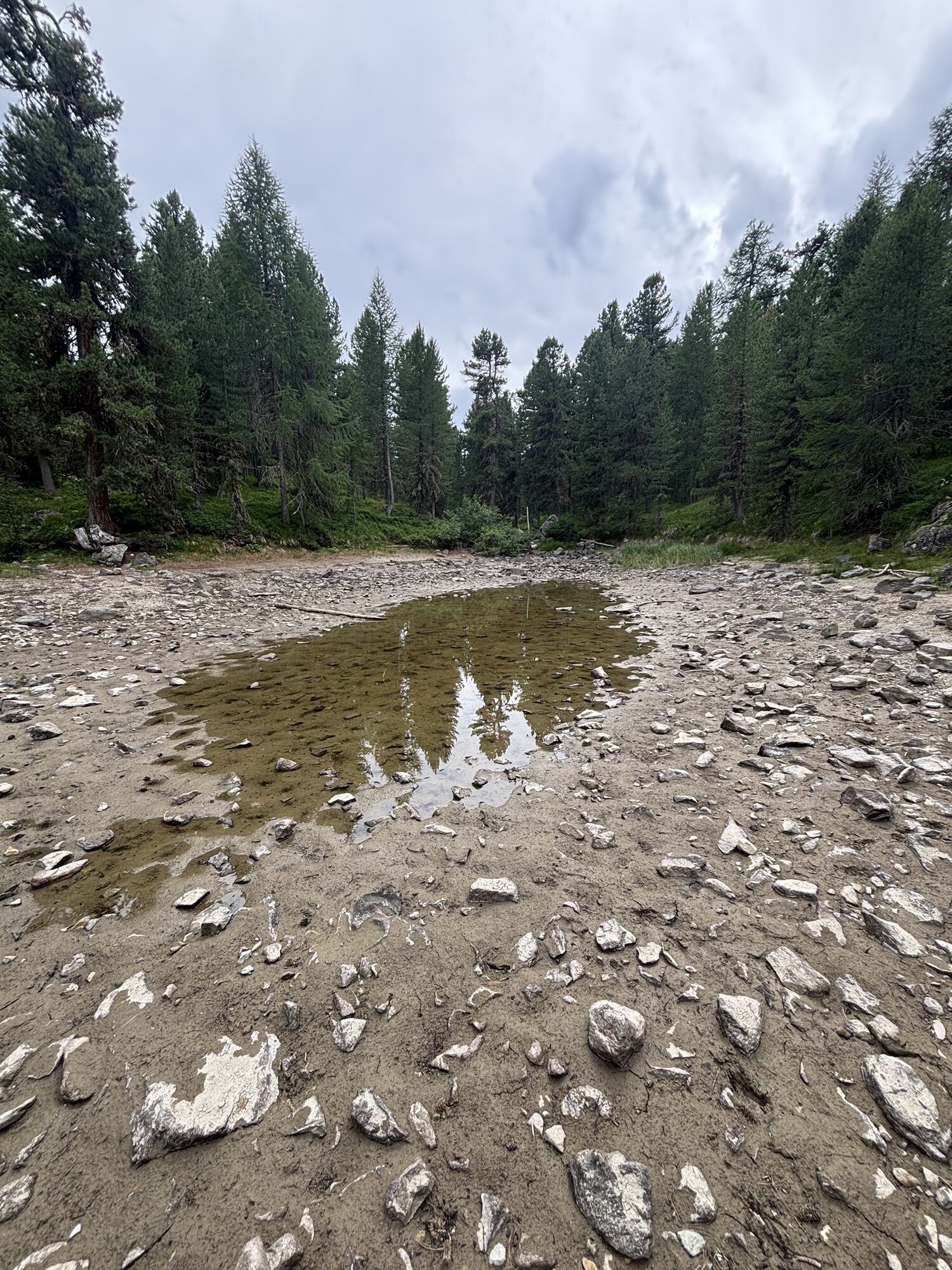
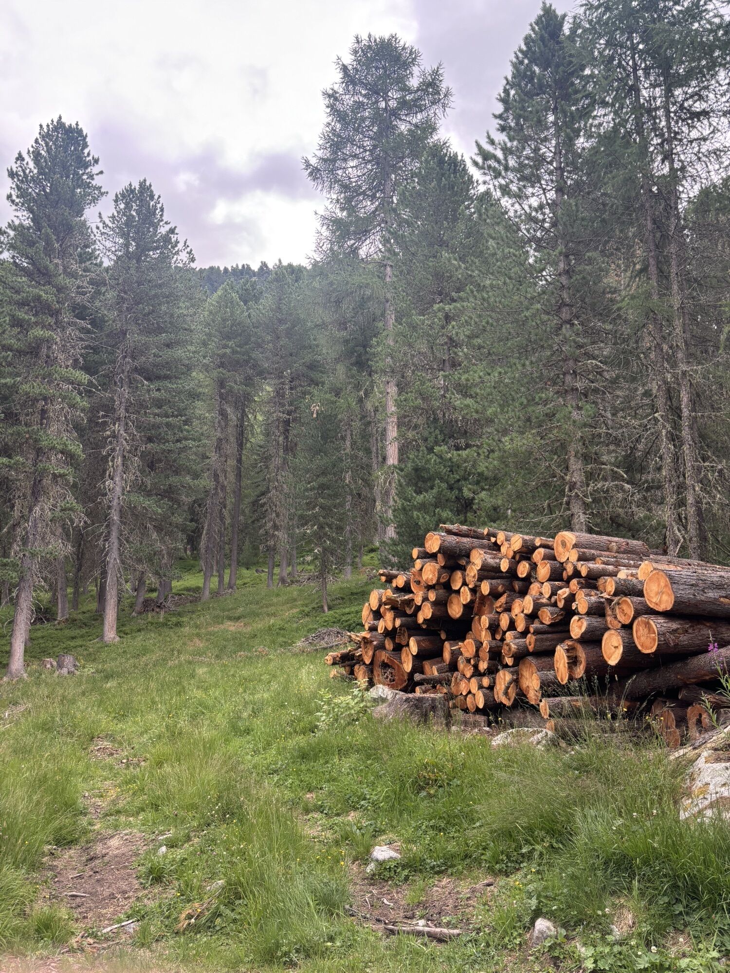
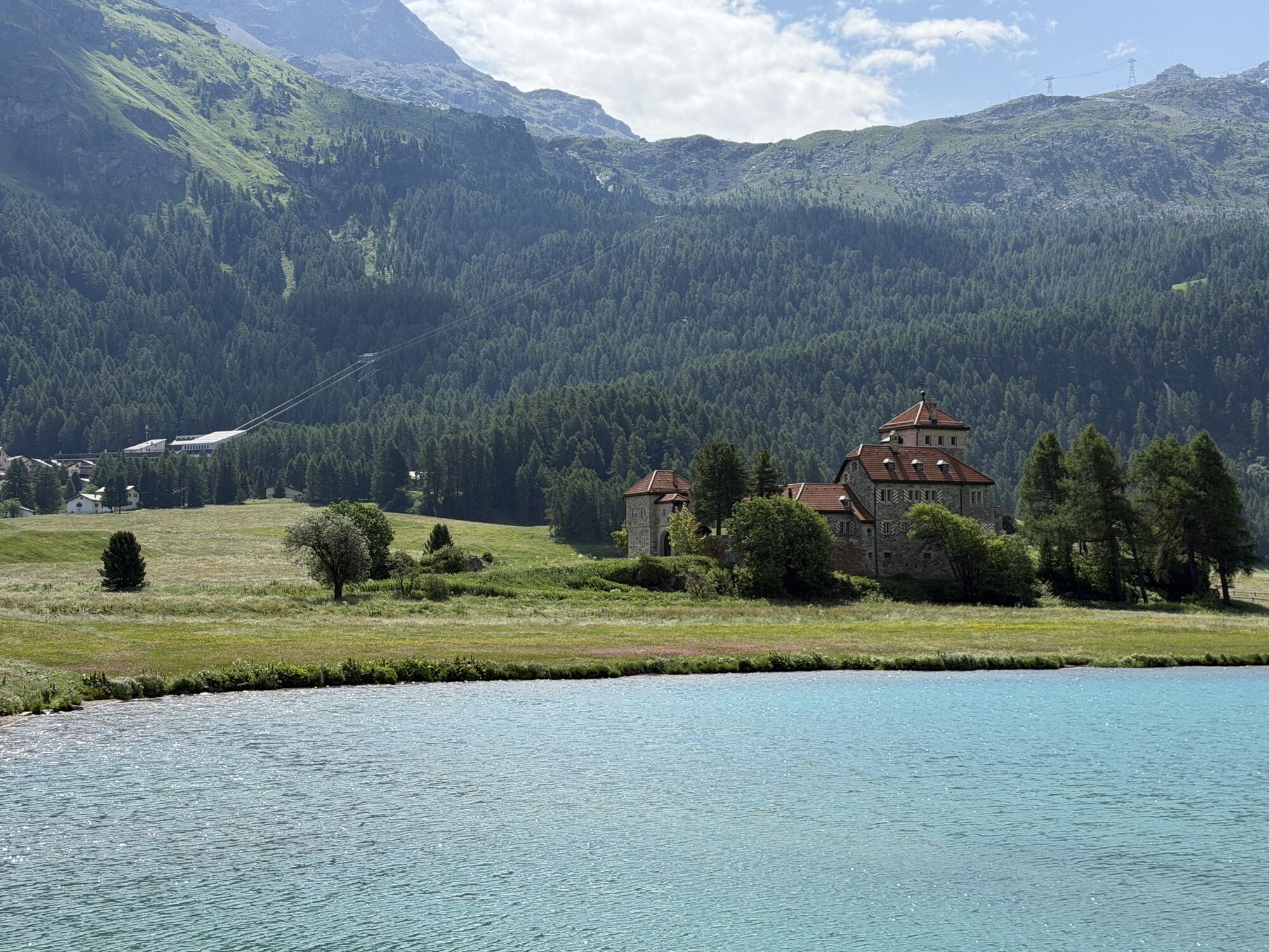
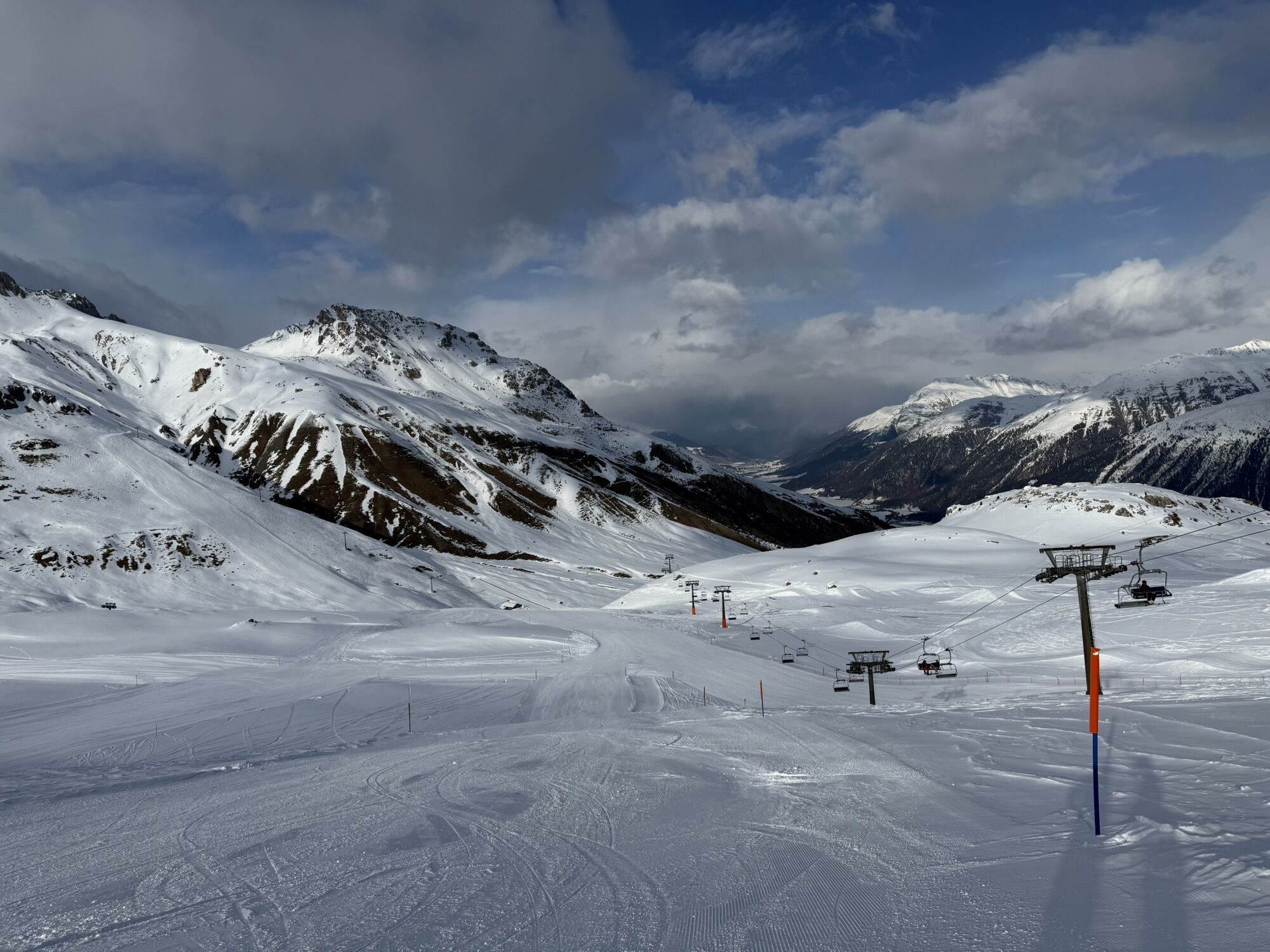
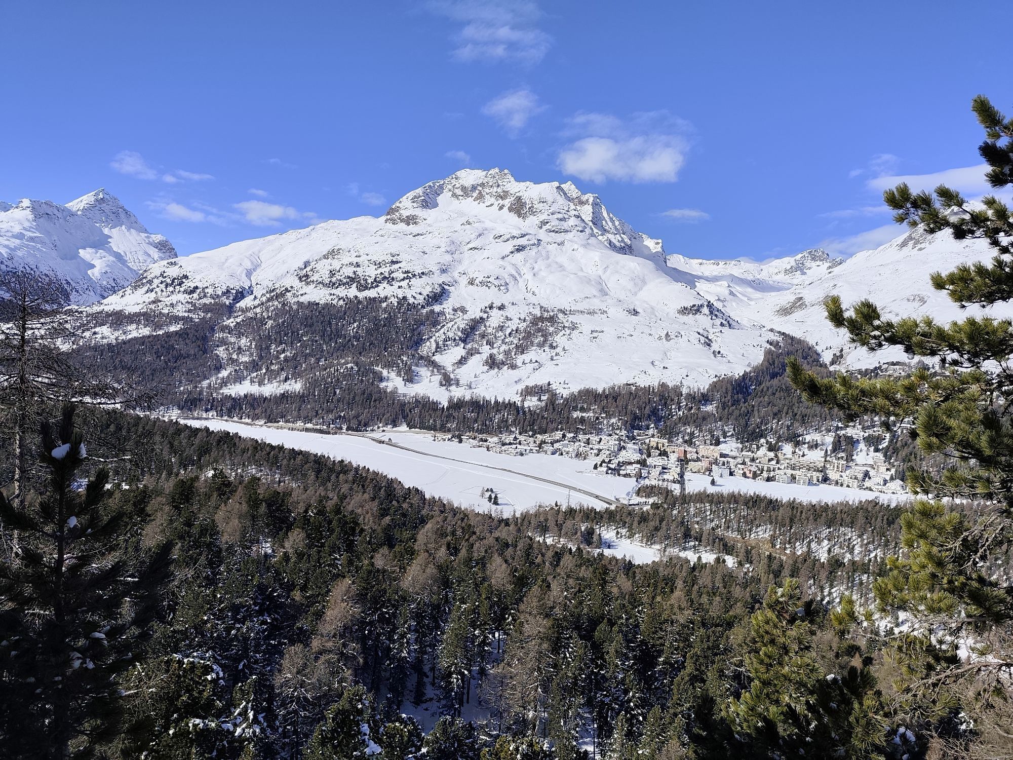
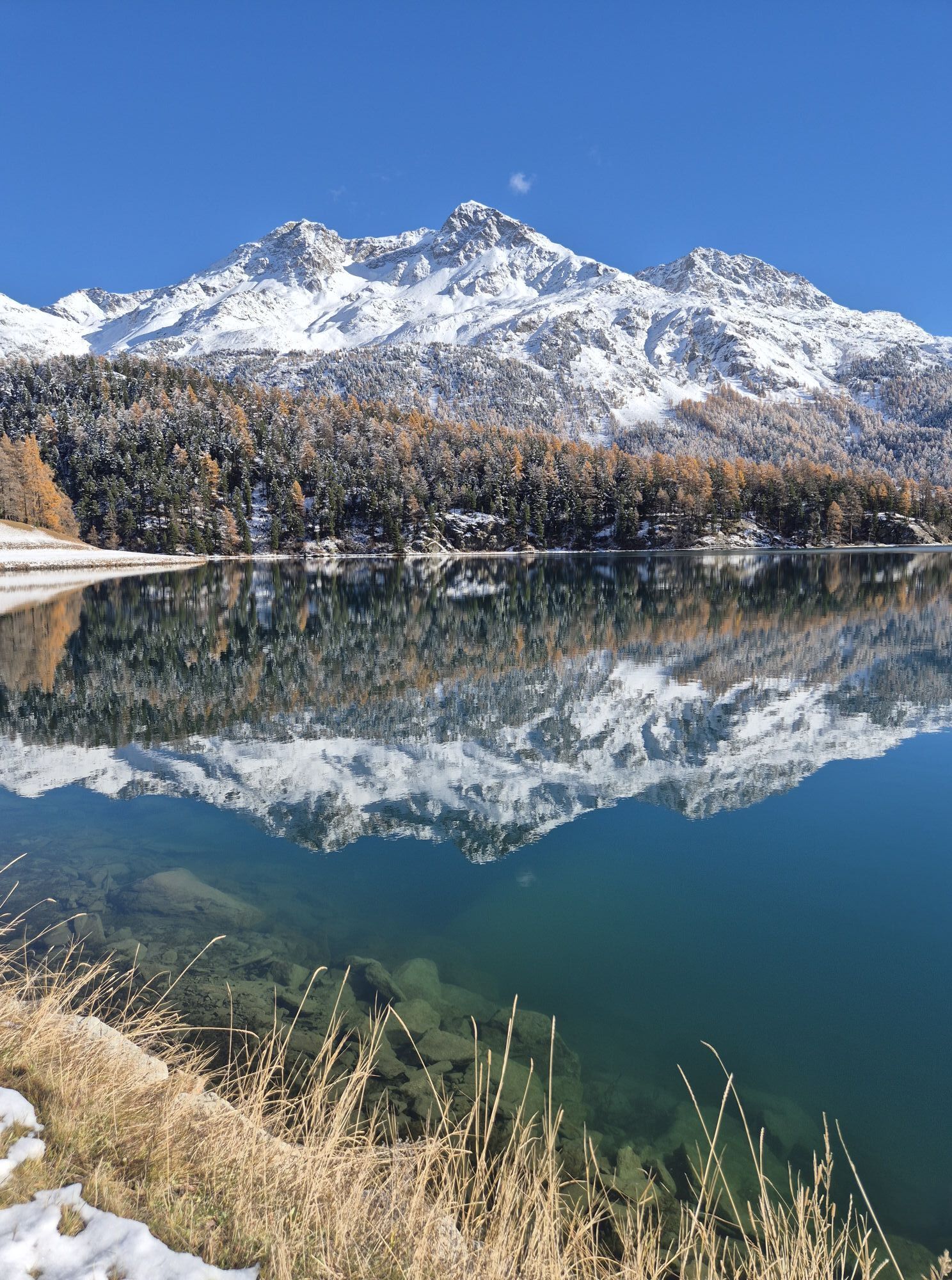
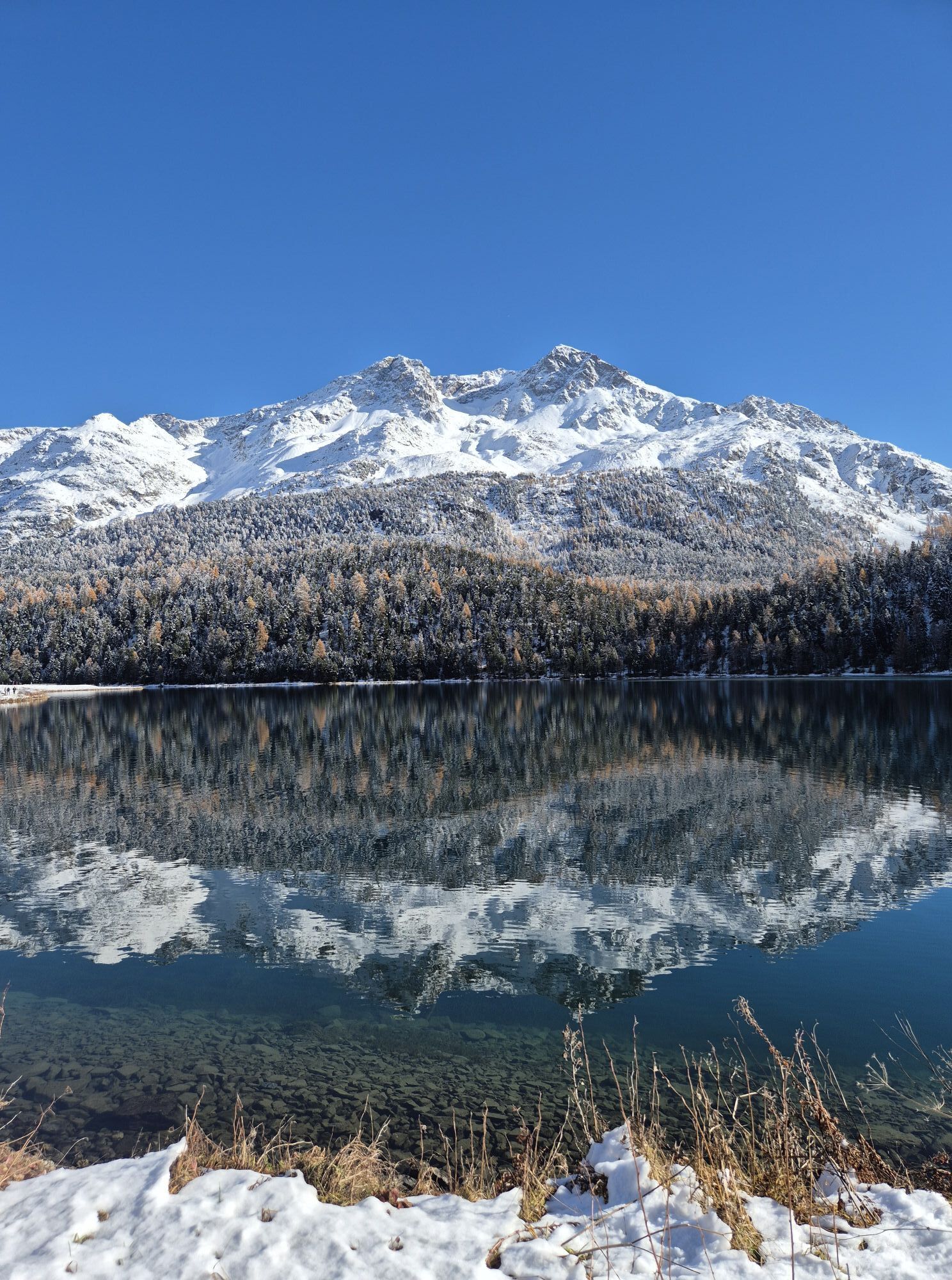
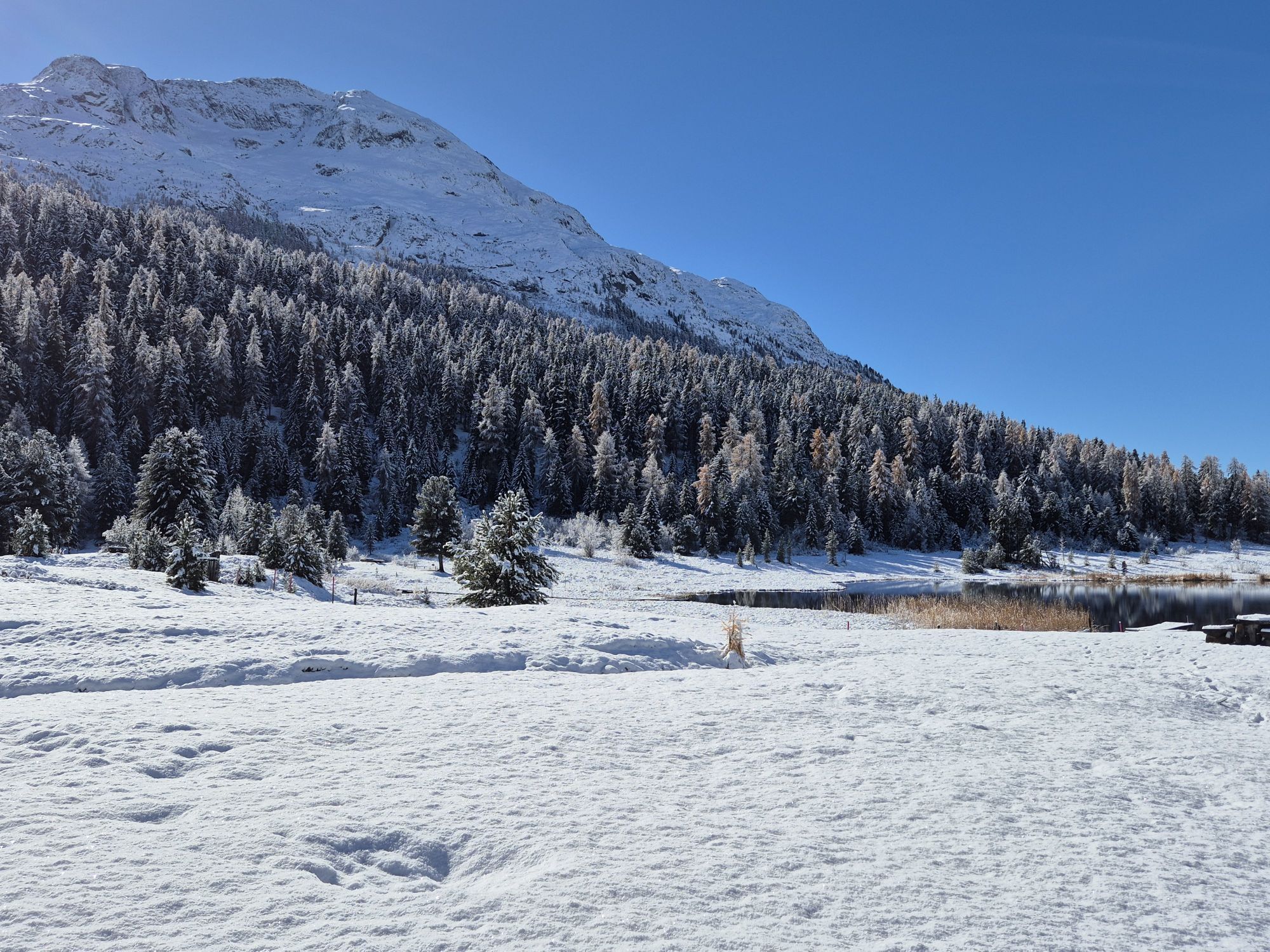
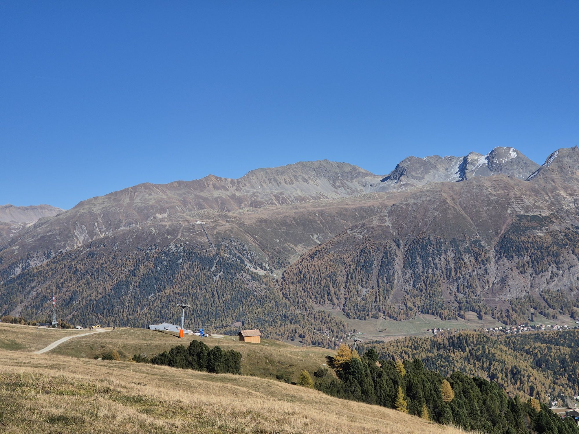
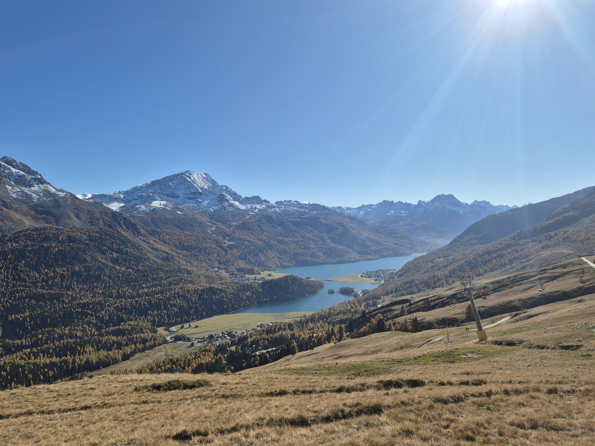
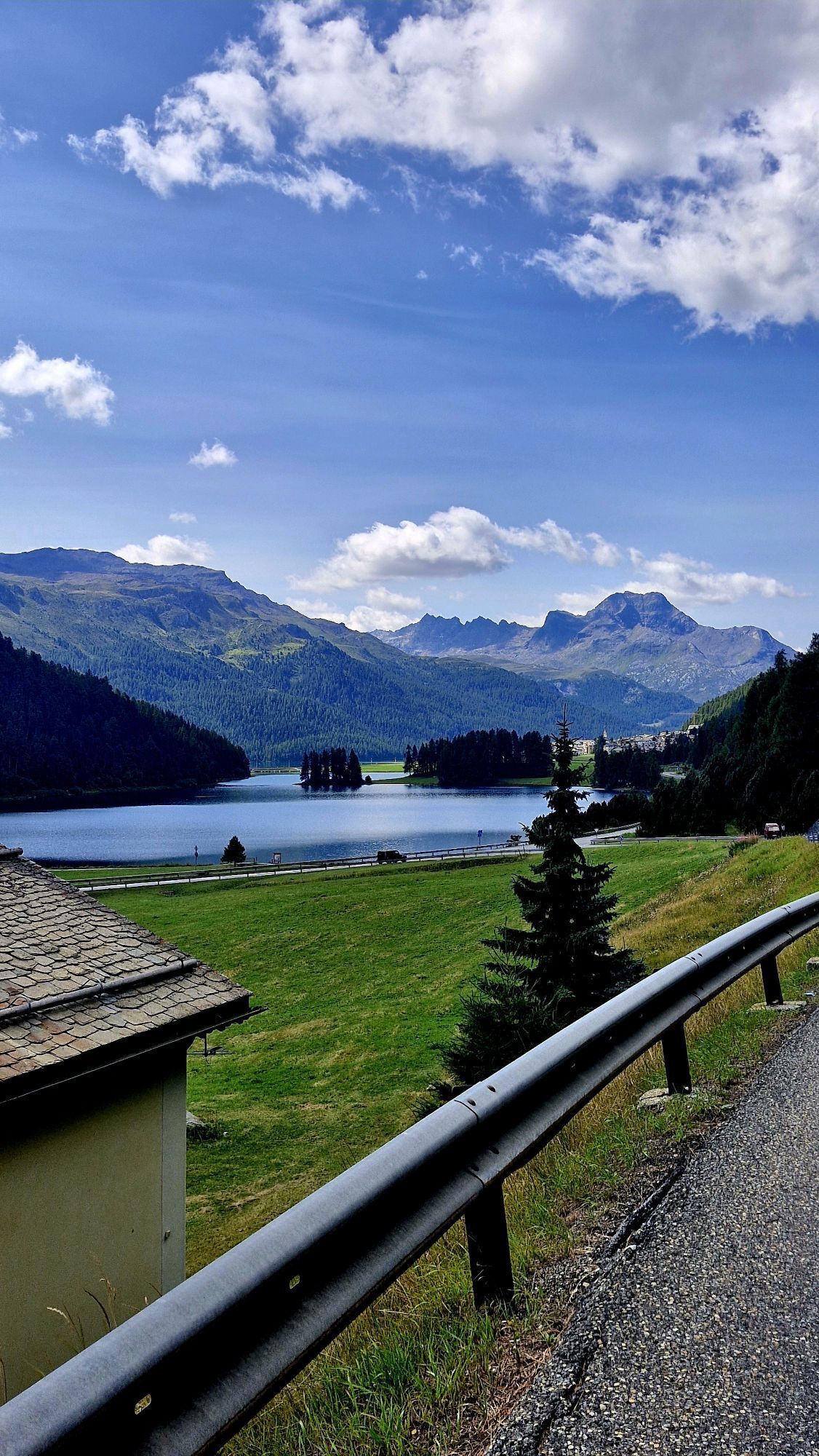
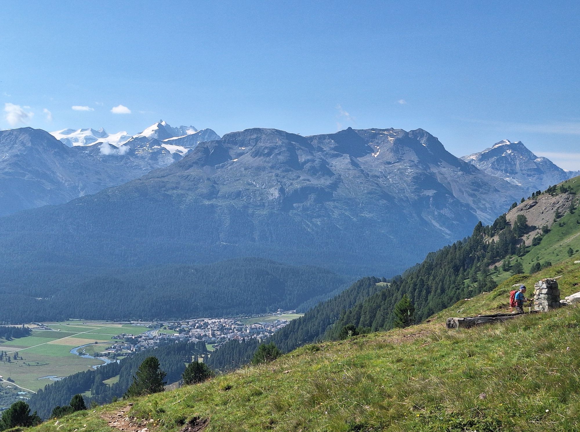
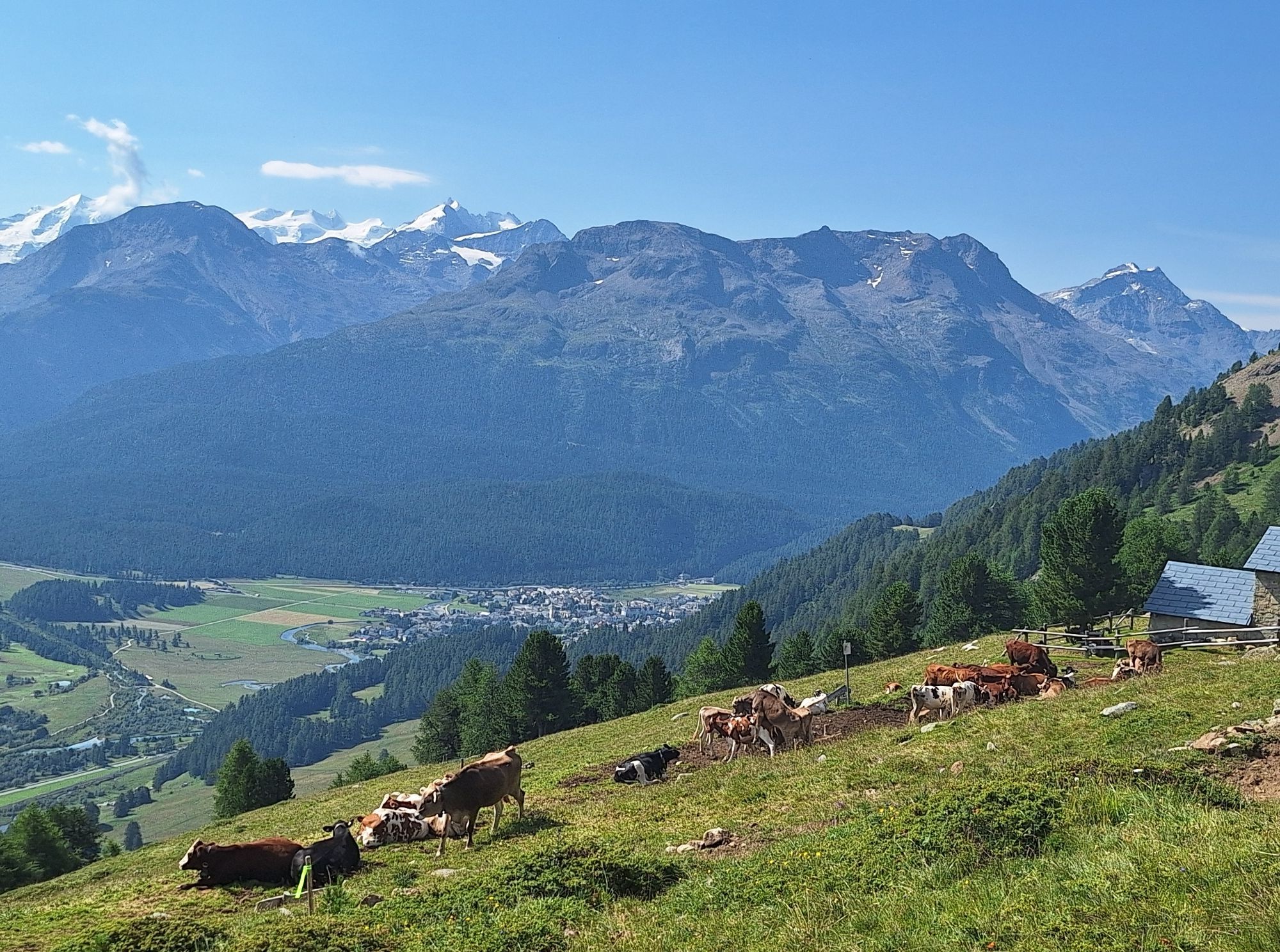
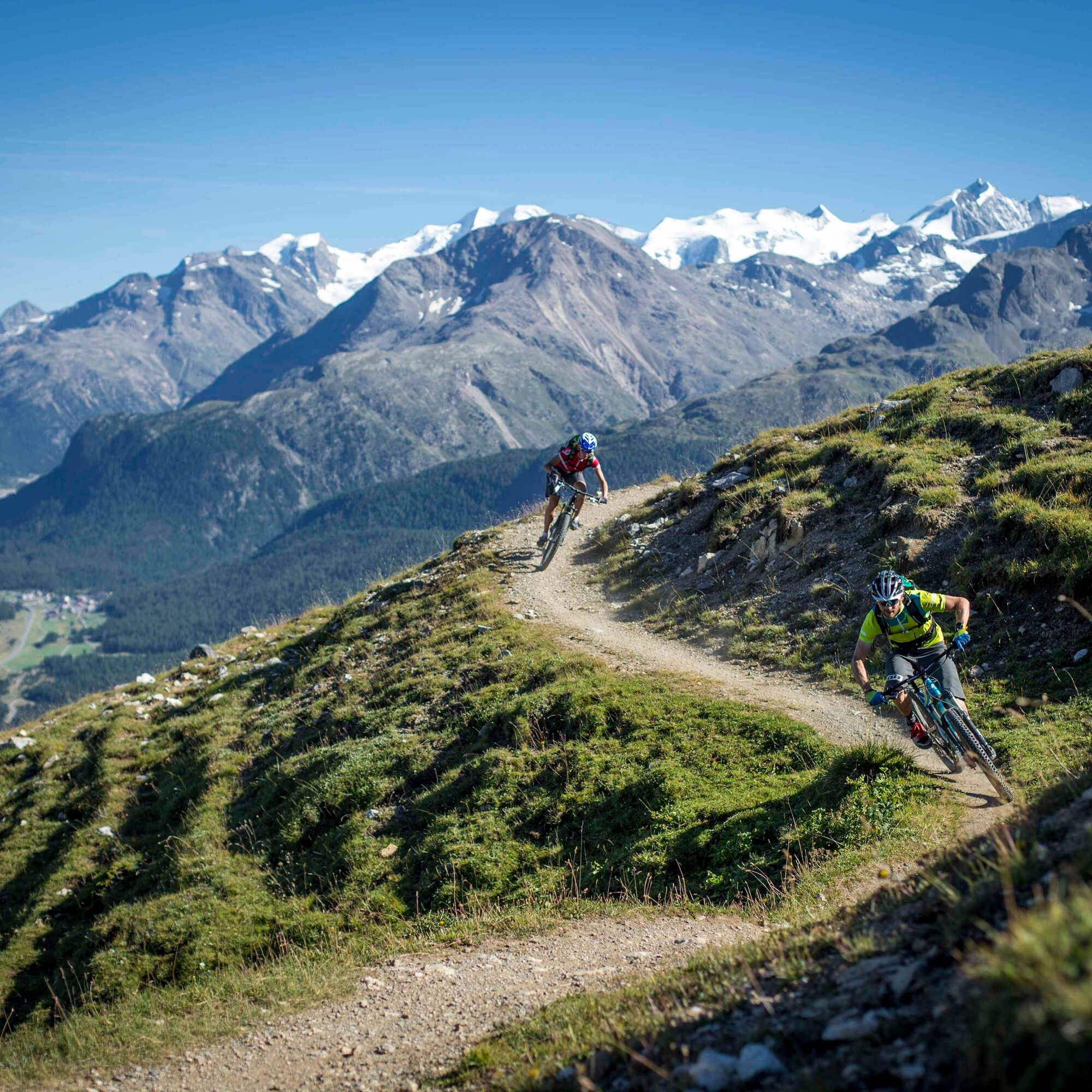
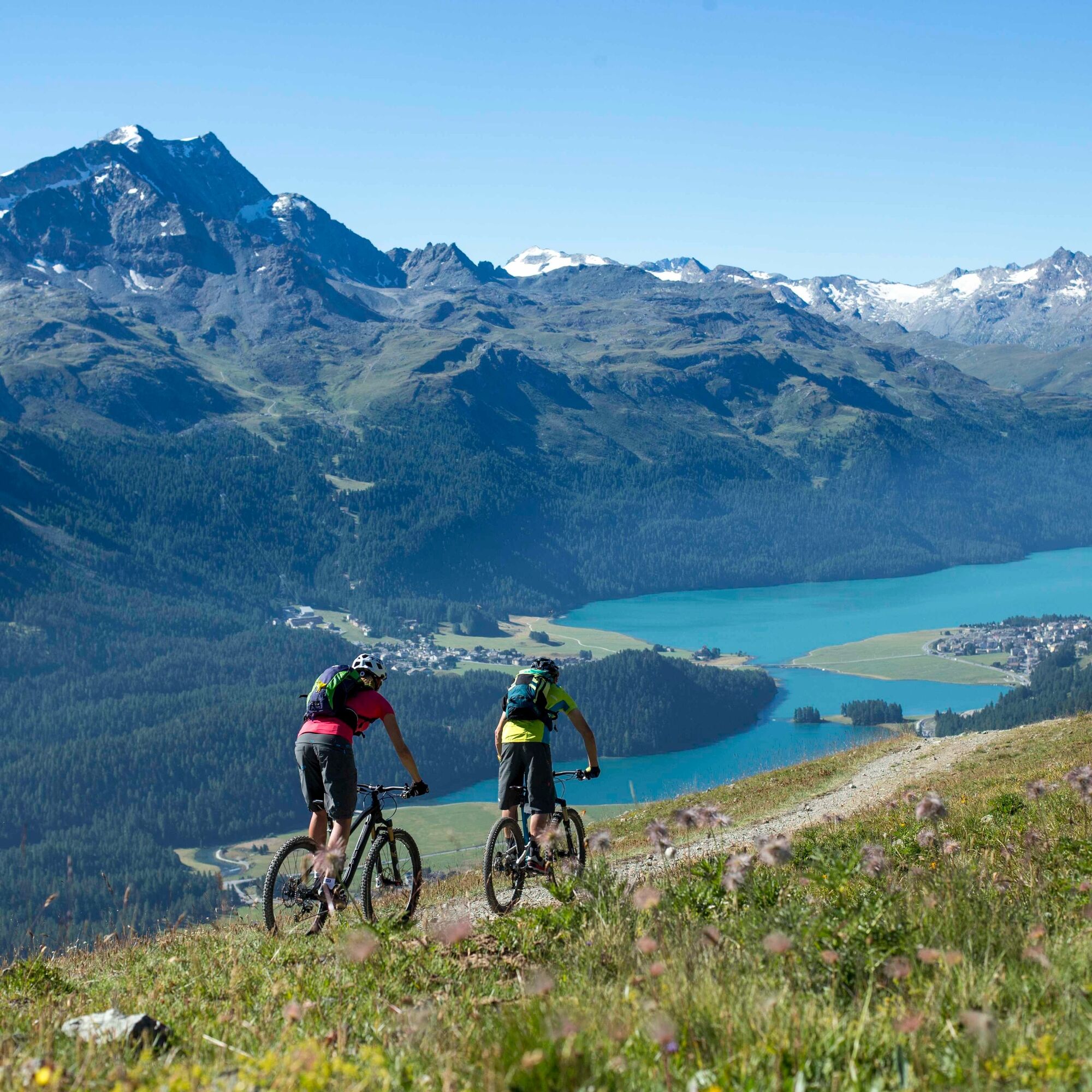
The entire circular route is marked in one direction, counterclockwise, and can be started and finished at any point. Officially, the route starts in Celerina, leads to Samedan and up to Alp Muntasch....
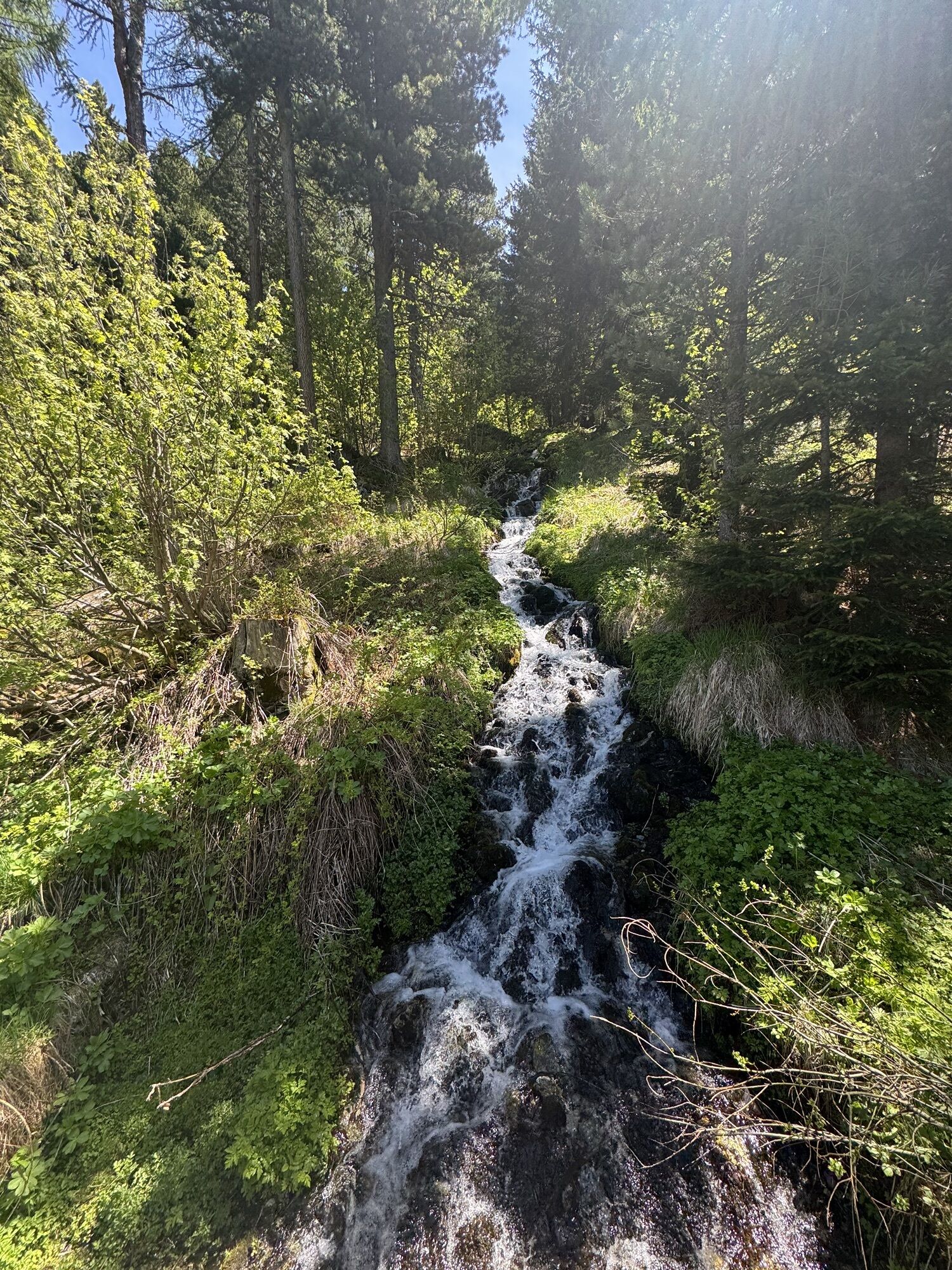
The entire circular route is marked in one direction, counterclockwise, and can be started and finished at any point. Officially, the route starts in Celerina, leads to Samedan and up to Alp Muntasch. There, the large Panorama Trail begins below Piz Padella and Trais Fluors to Marguns. Via Corviglia, it continues towards Val Suvretta, where the Foppettas Flow Trail leads down to Champfèr and along the lake to Silvaplana. On the opposite valley side at Surlej, it goes over Lej Nair (moor lake), St. Moritz Bad, and Alp Staz back to Celerina. Along the way, you continuously encounter junctions to and from branches to further trails, giving an impression of the extent of the mountain bike trail network of Engadin St. Moritz.
Further information
Engadin St. Moritz Tourism AG
Via Maistra 1
CH-7500 St. Moritz
Phone: +41 81 830 00 01
Email:
Internet: www.engadin.ch


Celerina - Samedan - Alp Muntatsch - Marguns - Corviglia - Alp Suvretta - Silvaplana - St. Moritz Bad - Celerina
3
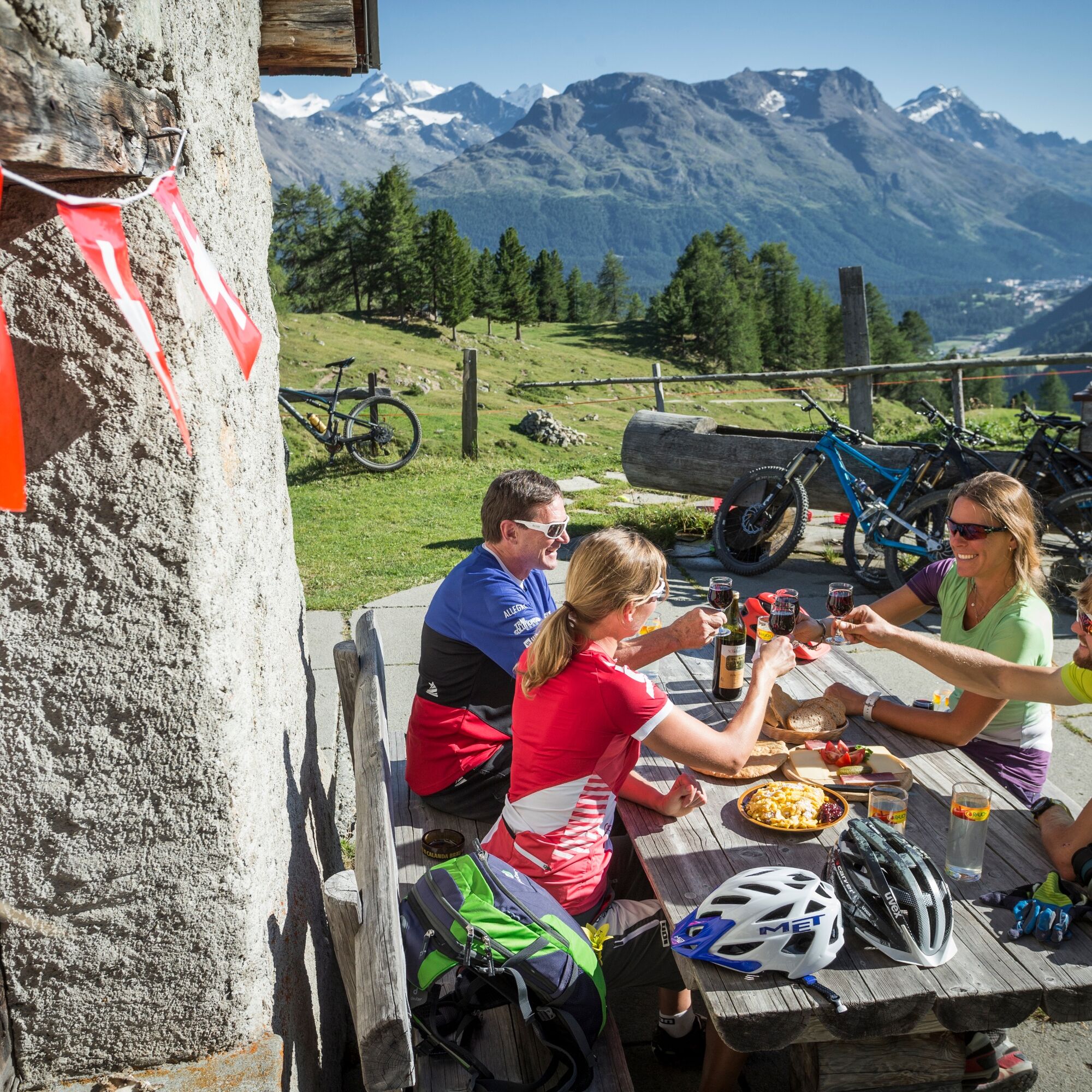
Along the way, you pass various excursion restaurants where it is worth taking a break. You also pass by the bathing lake Lej da Staz.
Kamery internetowe z trasy
-
Corviglia
-
St. Moritz / Samedan - Muottas Muragl
-
Marguns - Plateau Nair
-
Samedo - Engadin Golf
-
St. Moritz / Samedan - Muottas Muragl
-
St. Moritz / Samedan - Muottas Muragl
-
St. Moritz / Samedan - Muottas Muragl
-
St. Moritz / Samedan - Muottas Muragl
-
Corviglia
-
Corviglia
-
Corviglia
-
Corviglia
-
Corviglia
-
Corviglia
-
Corviglia
-
Silvaplana - Mittelstation Murtèl
-
Silvaplana - Mittelstation Murtèl
-
Celerina - Cresta Palace
-
Samedan - Roseg Gletscher
-
Piz Nair - St. Moritz
-
Celerina - Skiwiese Provuler
-
St. Moritz / Trais Fluors Bergstation
-
St. Moritz - Berghotel Randolins
-
Samedan - Engadin Airport
-
El Paradiso
-
Piz Nair Bergstation
-
Piz Nair Bergstation
-
Piz Nair Bergstation
-
Piz Nair Bergstation
-
Piz Nair Bergstation
-
Piz Nair Bergstation
-
Piz Nair Bergstation
-
Piz Nair Bergstation
-
Trais Fluors Bergstation
-
Trais Fluors Bergstation
-
Trais Fluors Bergstation
-
Trais Fluors Bergstation
-
Trais Fluors Bergstation
-
Trais Fluors Bergstation
-
Trais Fluors Bergstation
Uzyskaj wgląd
Zawsze na żywo z ponad 9 500 kamer internetowych. bergfex Jako użytkownik Pro, możesz teraz zobaczyć odpowiednie kamery internetowe dla wielu wycieczek w aplikacji wycieczki od. Pozwala to na bezpośredni podgląd aktualnych warunków.
Popularne wycieczki w okolicy
-
5,0
Morteratsch station - Boval Hut
średniWędrówka 10,5 km -
4,6
Diavolezza - Munt Pers
światłoWycieczki górskie 3,82 km -
4,7
Panoramic route Muottas Muragl
światłoWędrówka 6,75 km -
5,0
Muottas Muragl - Segantini hut - Pontresina
średniWędrówka 6,46 km -
4,9
Maloja - Motta Salacina - Lägh da Cavloc - Maloja
średniWędrówka 10,3 km -
4,5
Pontresina - Val Roseg - Pontresina
światłoWędrówka 13,8 km -
4,8
SAC Tschierva
światłoWędrówka 24,7 km -
4,8
Around Lake St. Moritz
światłoWędrówka 4,32 km -
4,7
Morteratsch Glacier route
światłoTrasa tematyczna 2,88 km -
Muottas Muragl - Segantini Hütte - Pontresina
średniWędrówka 17,5 km
Wędrówki i tropienie


Nie przegap ofert i inspiracji na następne wakacje
Twój adres e-mail została dodana do listy mailingowej.





