


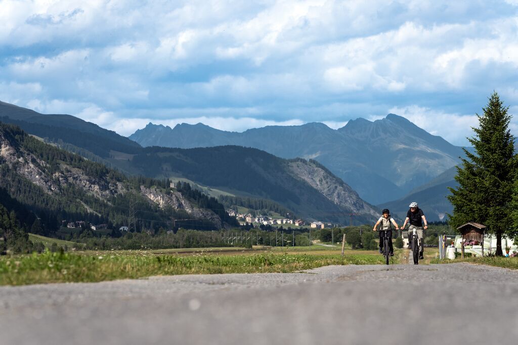
Culinary E-Bike route
Poziom trudności: 1
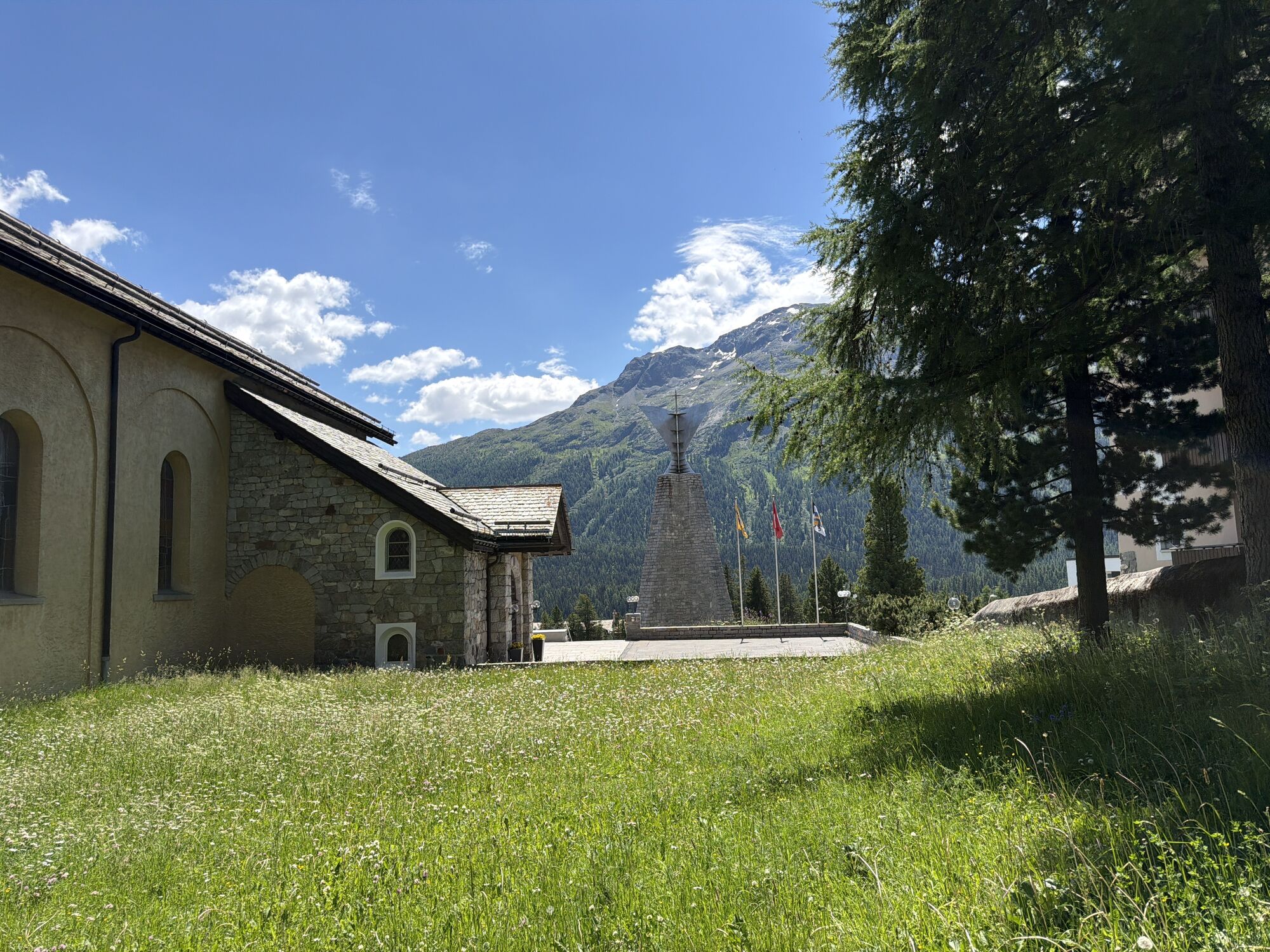
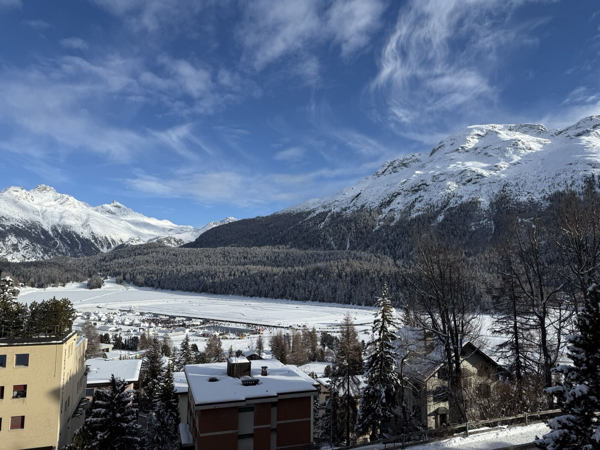
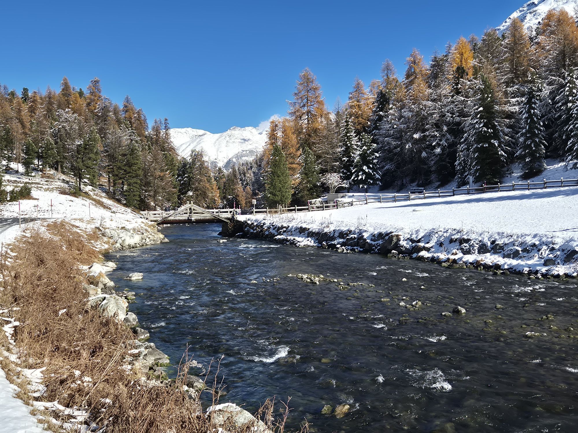

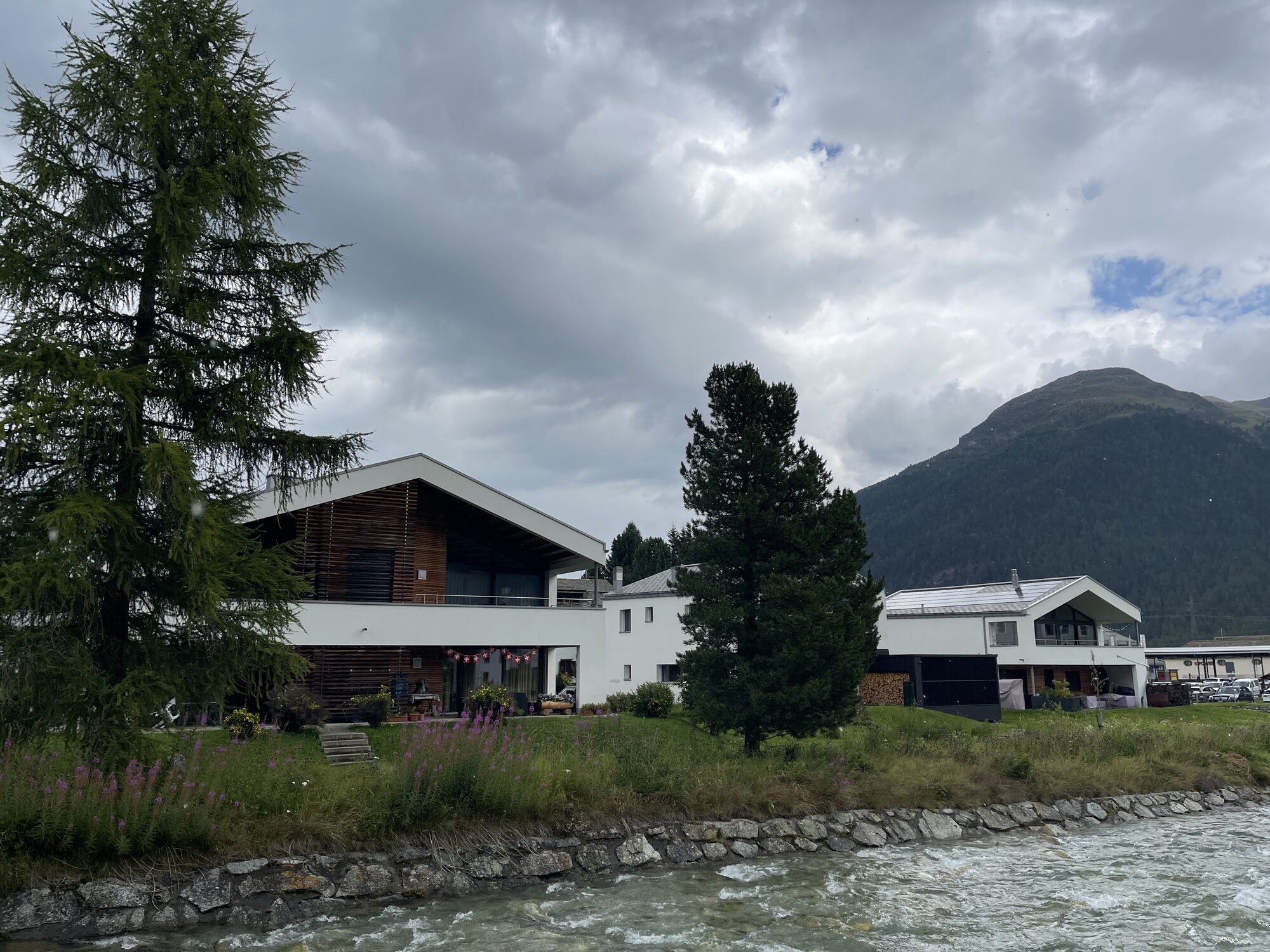

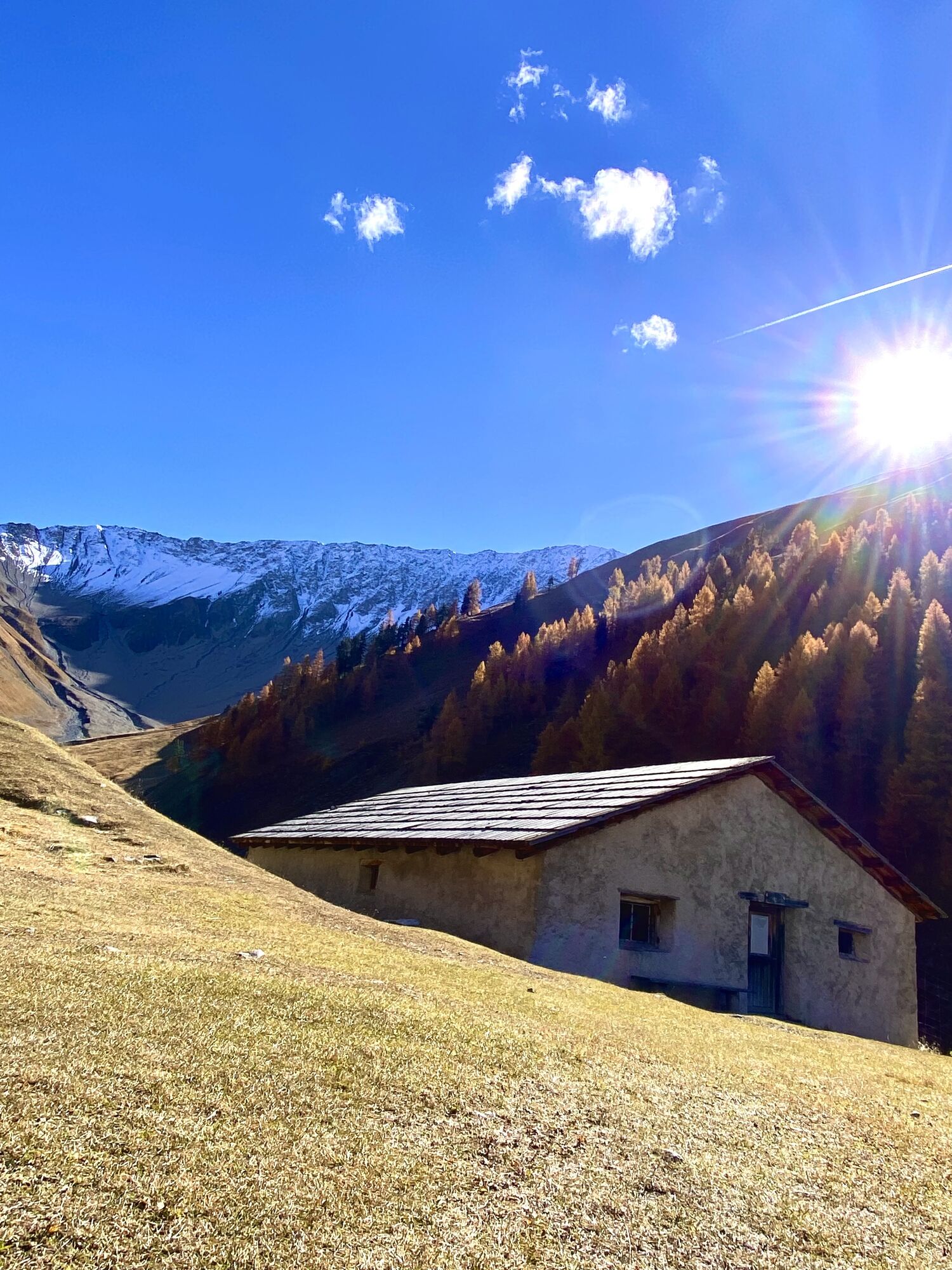
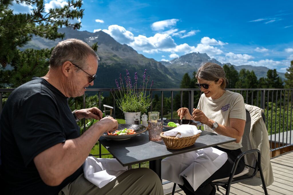
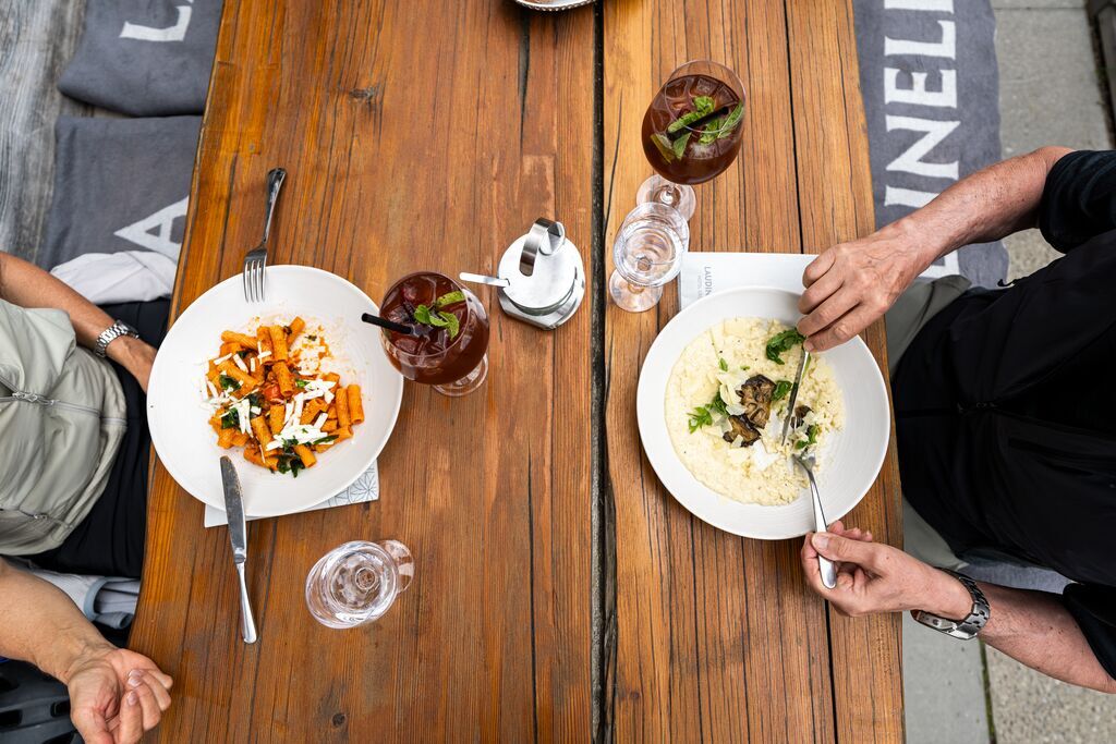
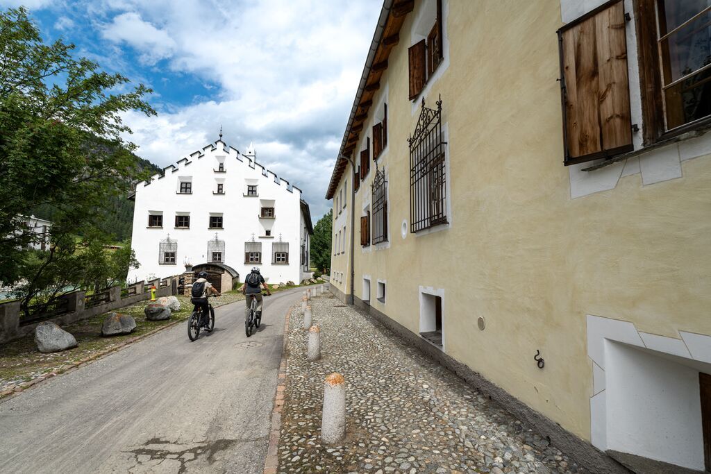
The route begins in Celerina and leads over St. Moritz, Chantarella, and Salastrains to the picturesque Berghotel Randolins, where the appetizer is served in the stylish Stüvetta restaurant. Then it continues...
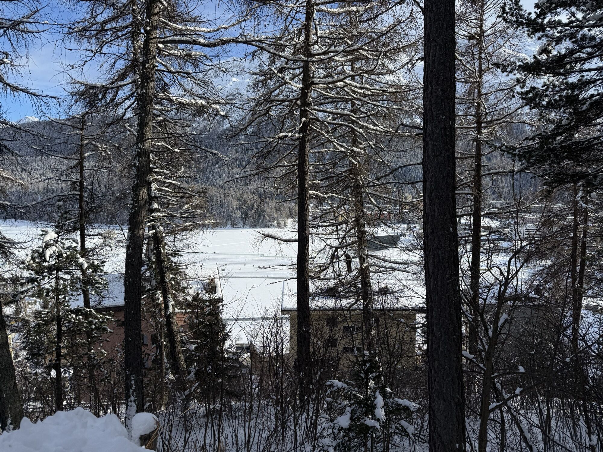
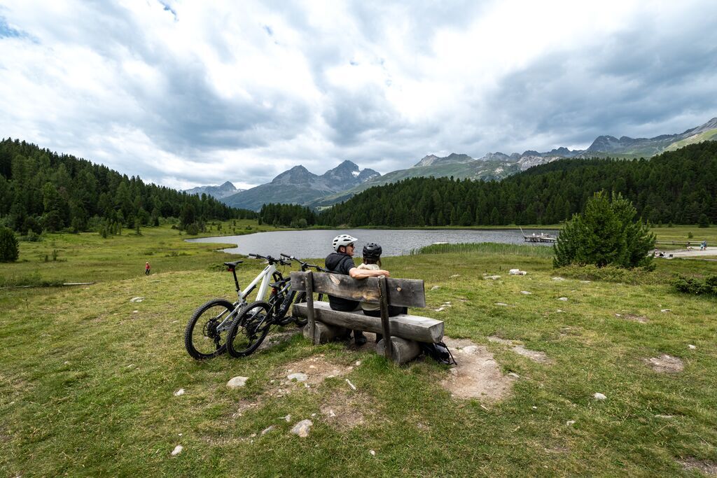
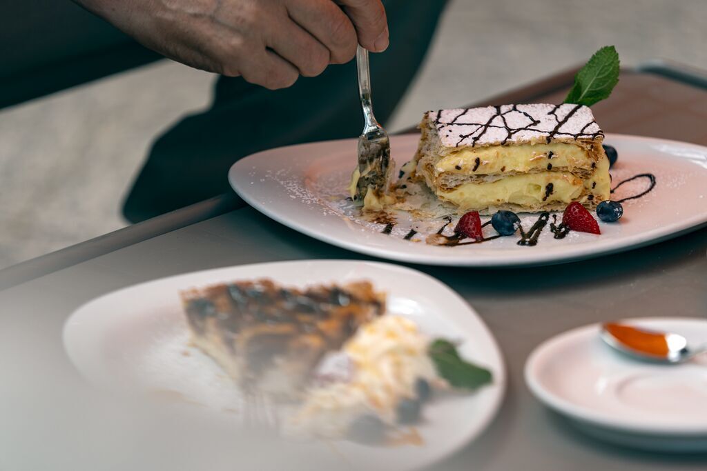
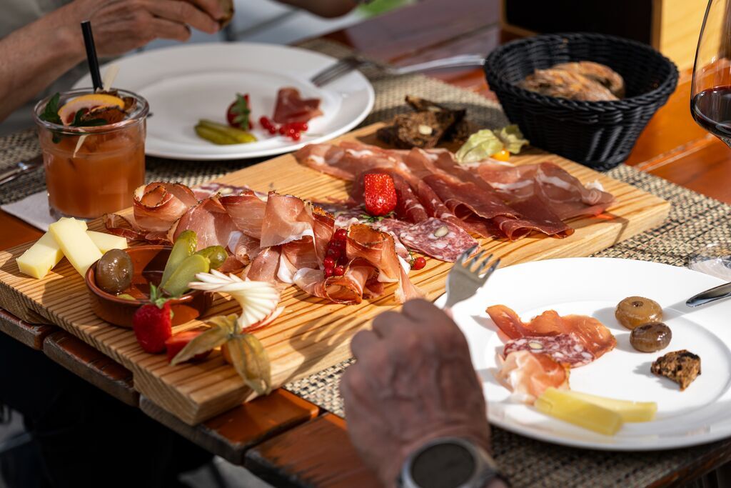
Refreshed, the route continues over Pontresina to Zuoz, where a well-deserved dessert is served in the Sur En restaurant. Before the last stage back to Celerina begins, a relaxed aperitif with a platter and cocktail awaits in the Bever Lodge.
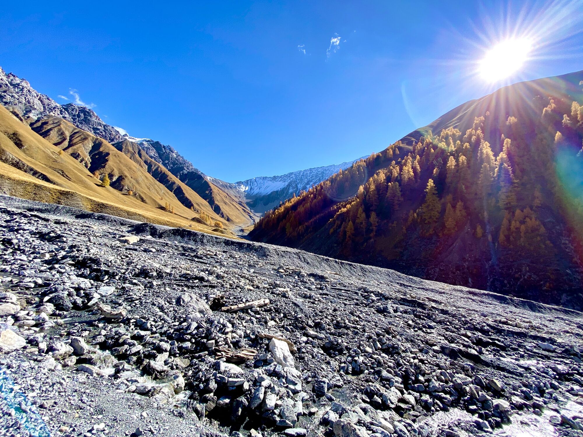
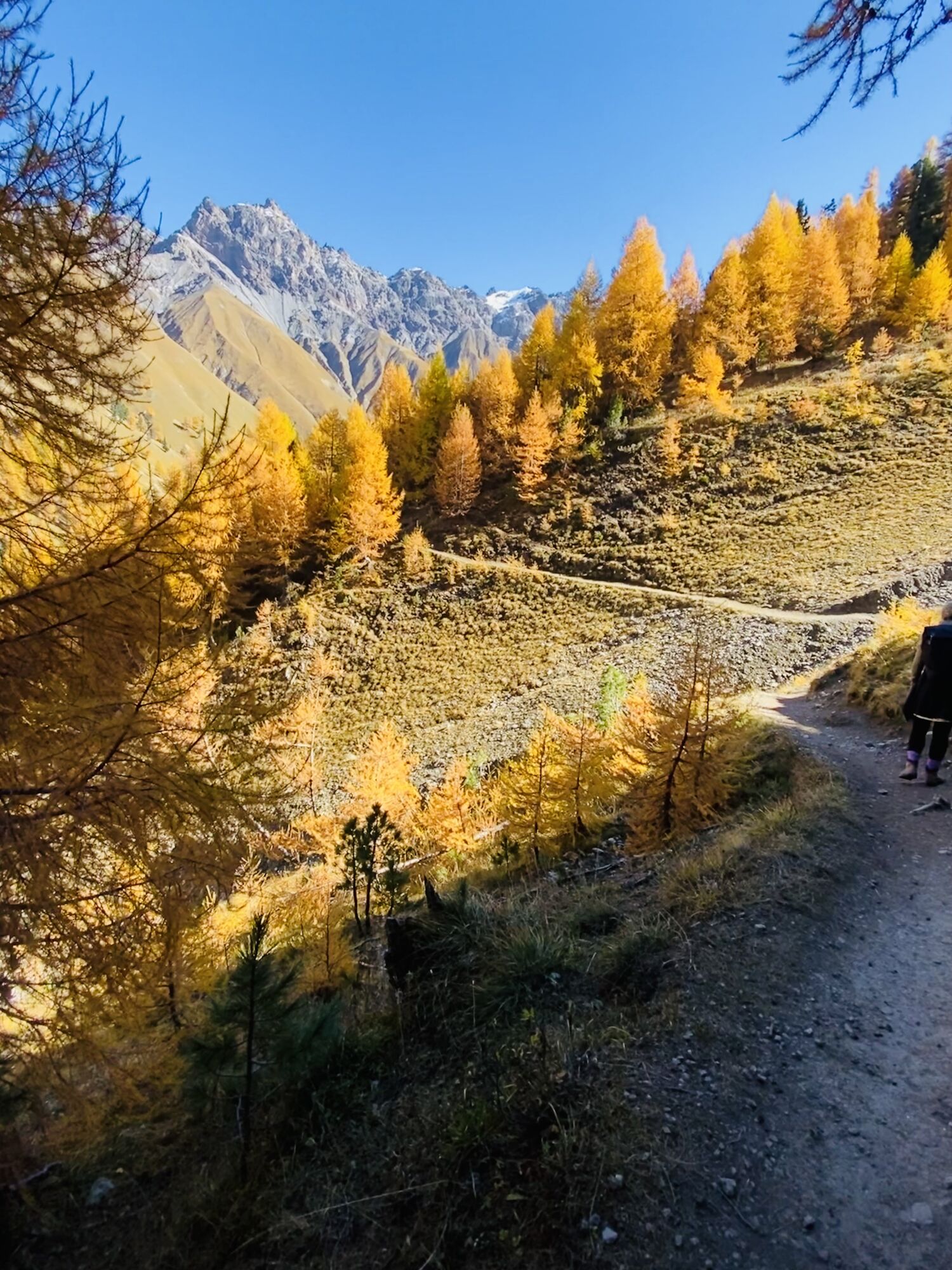
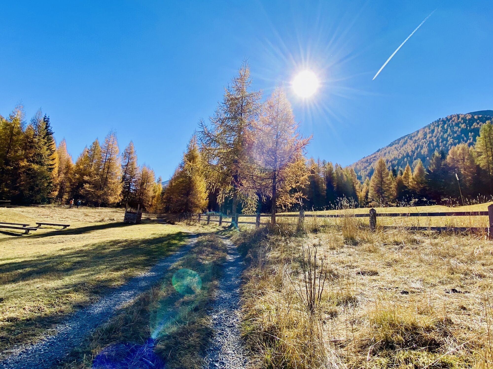
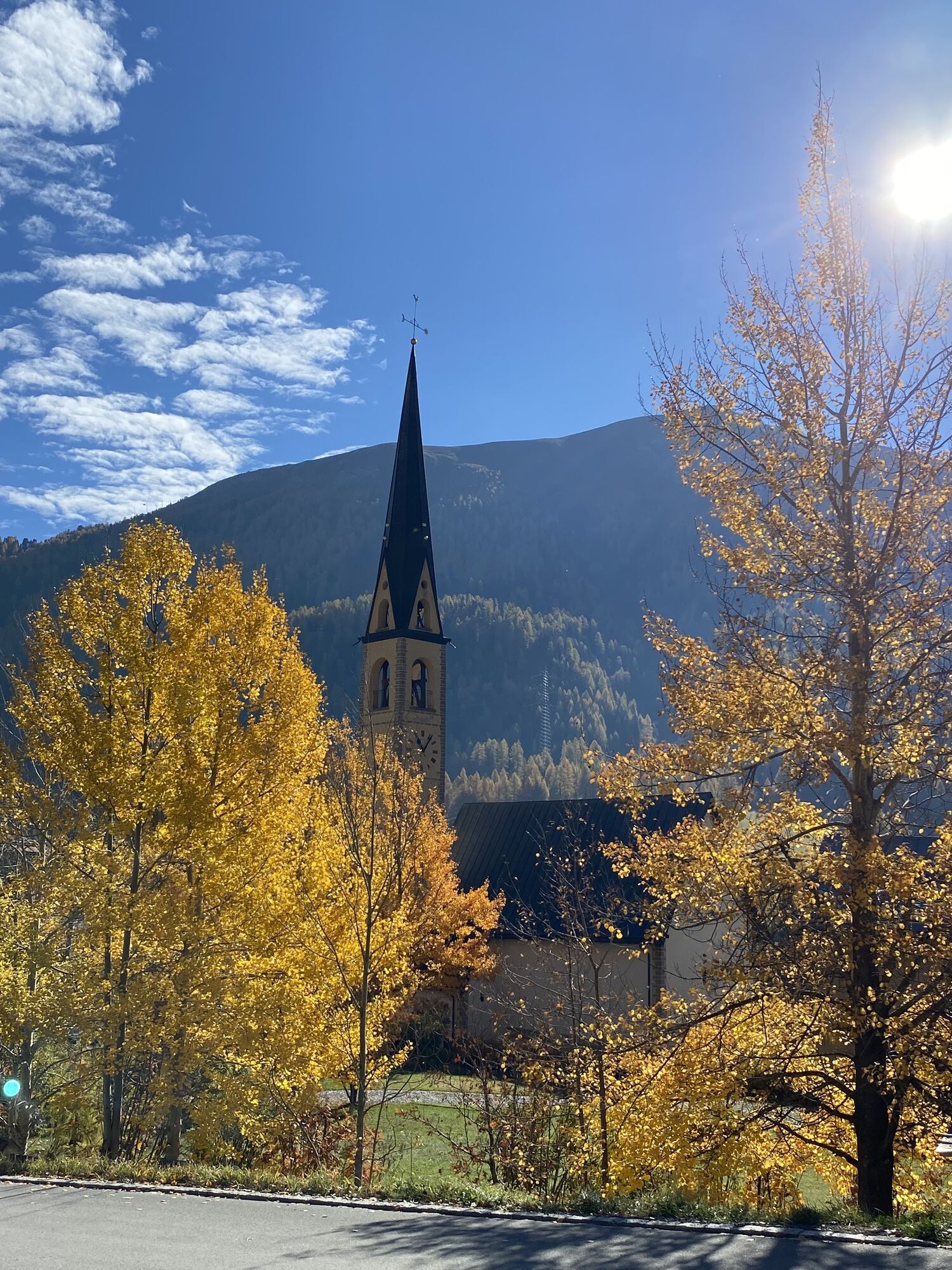
This route combines culinary highlights with the picturesque landscape of Engadin – a perfect blend of enjoyment and nature!
Booking:
Culinary E-Bike Route – through Engadin
Further information
Engadin Tourism AG
Via Maistra 1
CH-7500 St. Moritz
Phone +41 81 830 00 01
E-Mail: allegra@engadin.ch
Internet: www.engadin.ch

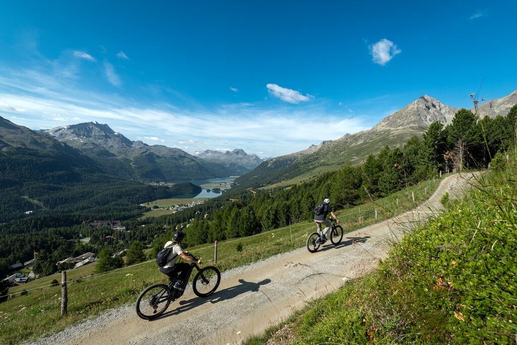
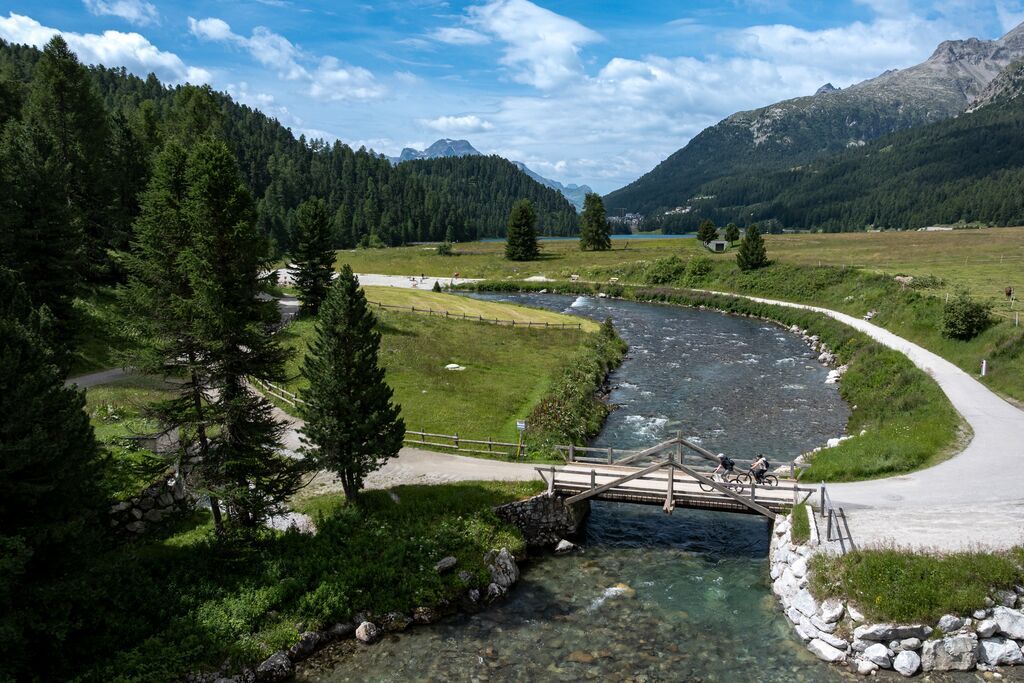
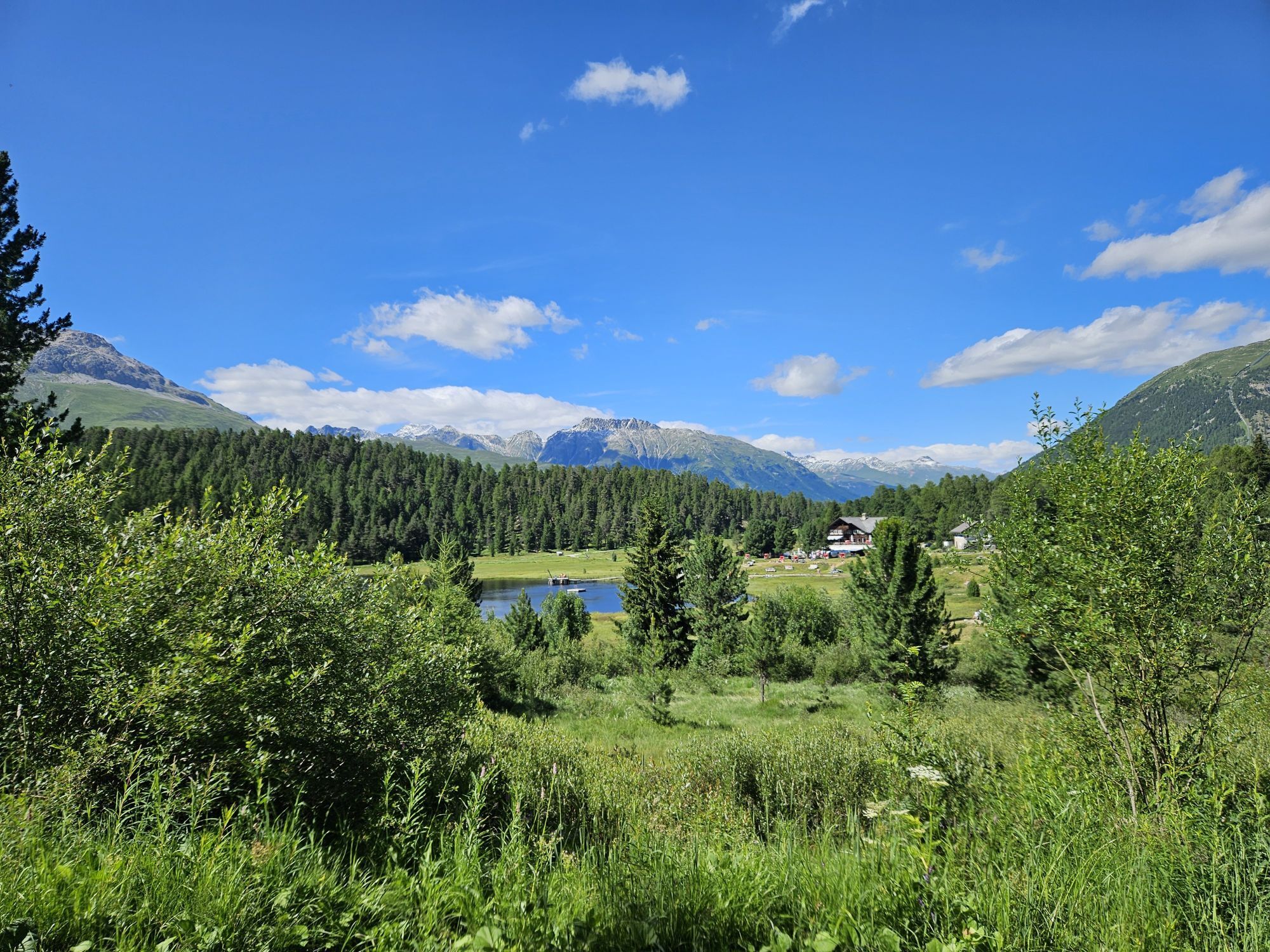
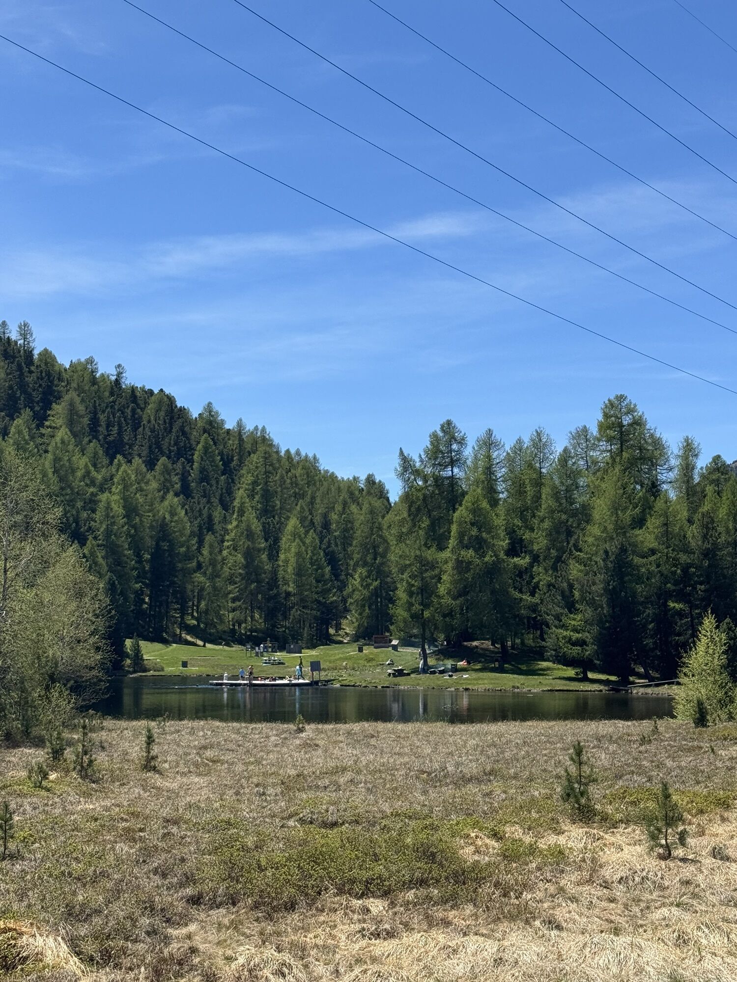
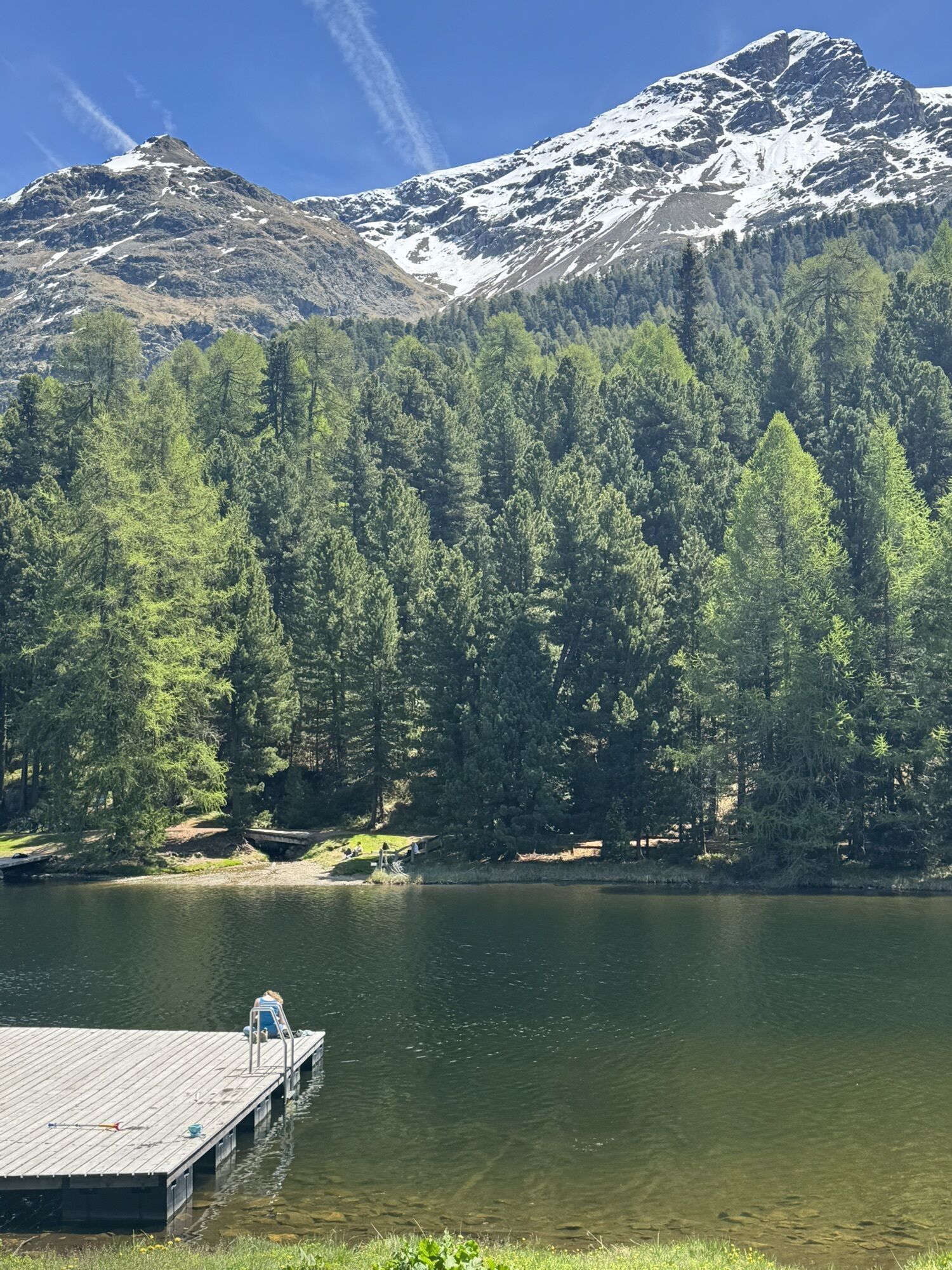
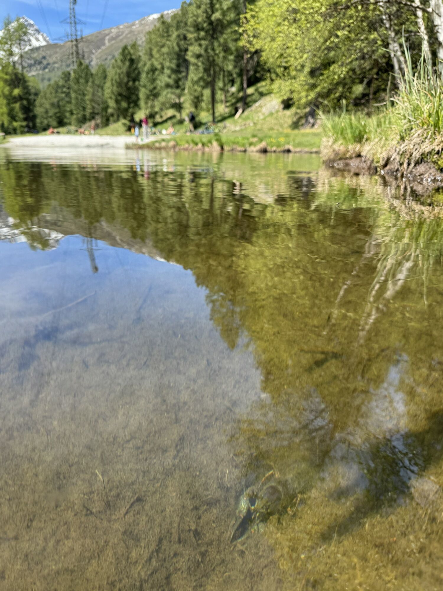
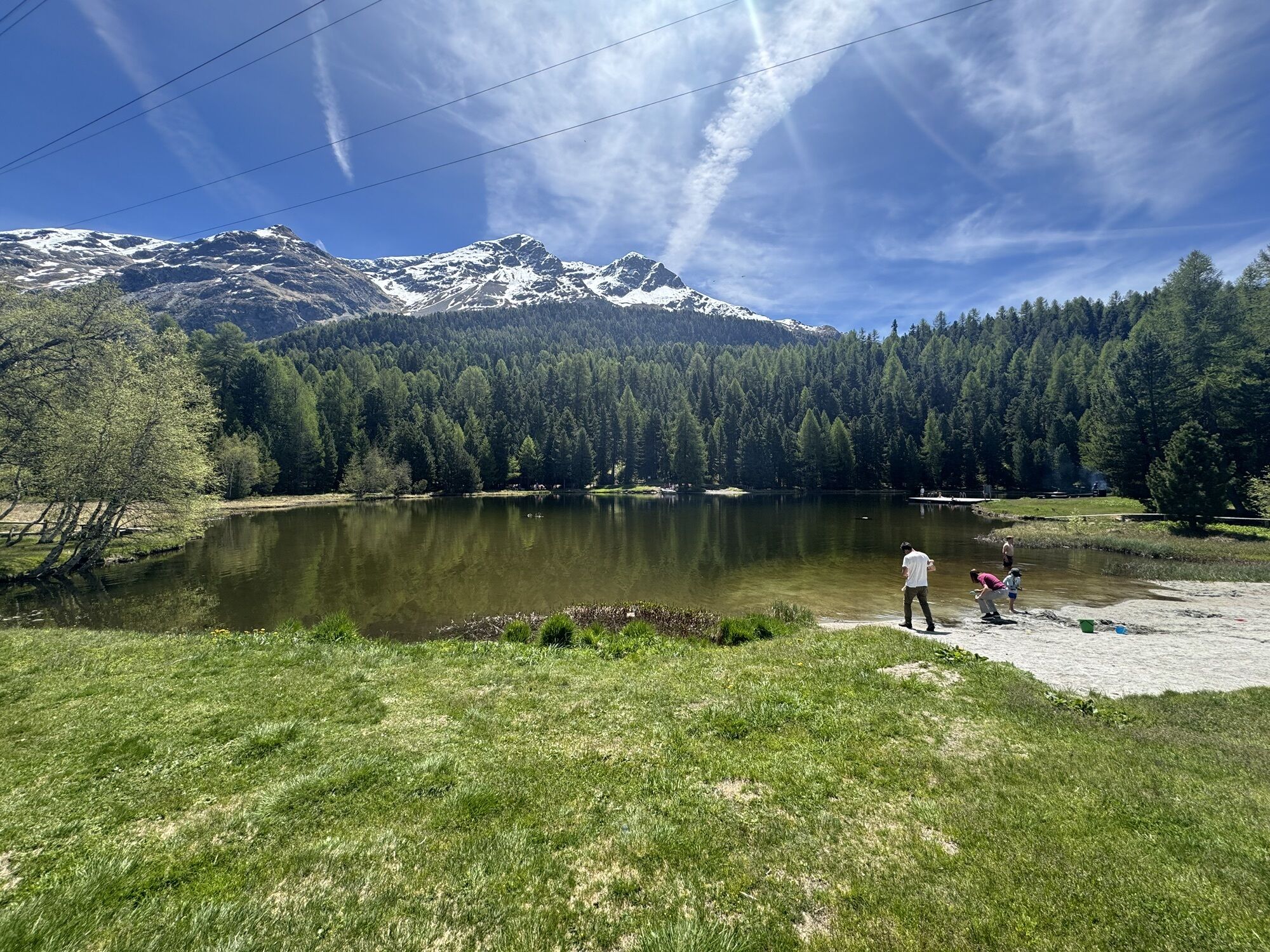
Celerina train station - Salastrains - Randolins - Lej da Staz - Pontresina - Restaurant Sur En, Zuoz - Bever Lodge - Celerina train station
1
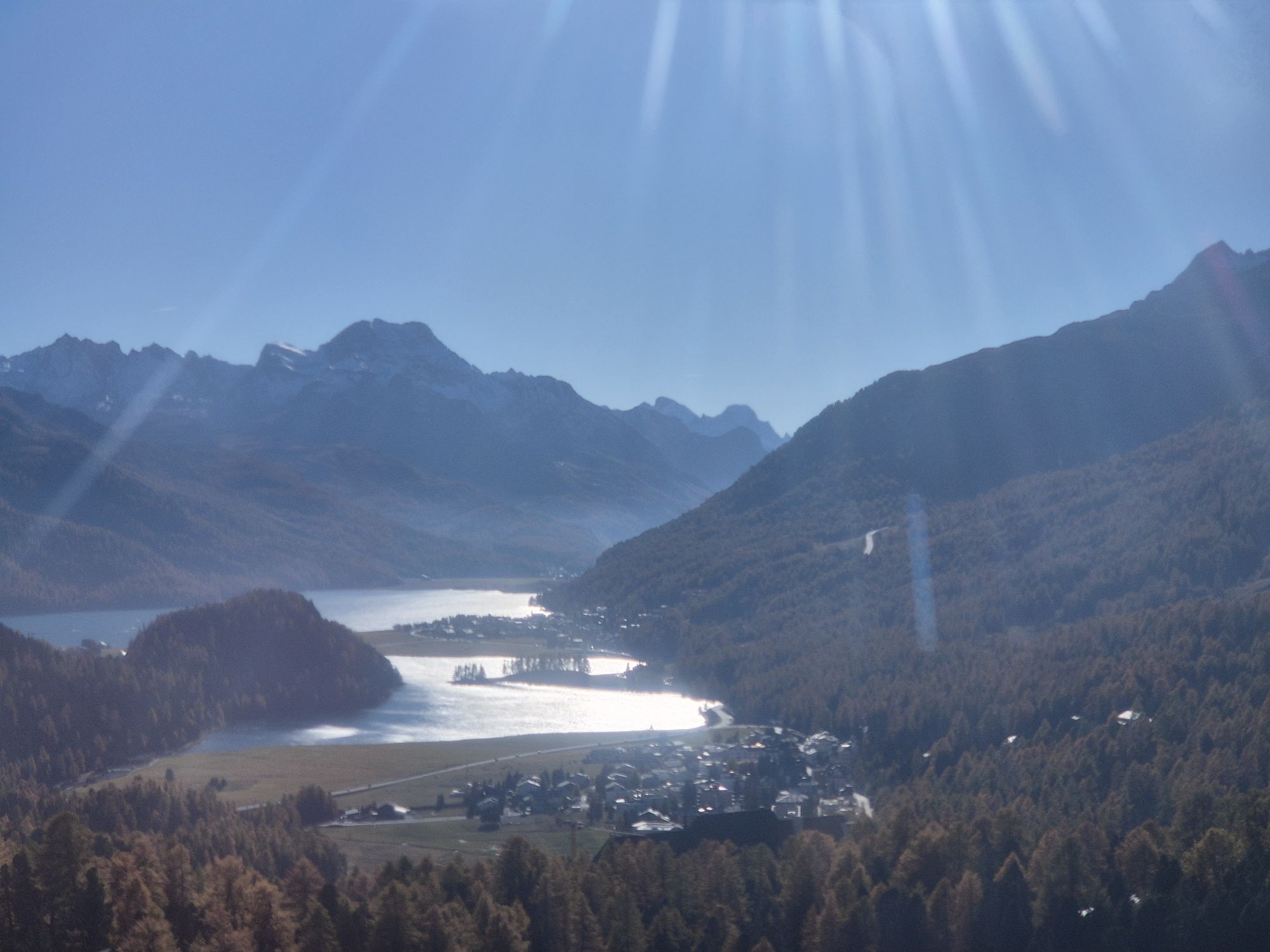
If you want to extend the route to the appetizer, take the path uphill to El Paradiso after the Signalbahn mountain station. From there, a well-ridable farm track leads into the Val Suvretta. Great views over the Engadin lakes guaranteed.
Kamery internetowe z trasy
-
Corviglia
-
St. Moritz / Samedan - Muottas Muragl
-
Corvatsch
-
Marguns - Plateau Nair
-
Silvaplana - Restaurant Mulets
-
Samedo - Engadin Golf
-
St. Moritz / Samedan - Muottas Muragl
-
St. Moritz / Samedan - Muottas Muragl
-
St. Moritz / Samedan - Muottas Muragl
-
St. Moritz / Samedan - Muottas Muragl
-
Corviglia
-
Corviglia
-
Corviglia
-
Corviglia
-
Corviglia
-
Corviglia
-
Corviglia
-
Corvatsch
-
Corvatsch
-
Corvatsch
-
Corvatsch
-
Corvatsch
-
Corvatsch
-
Celerina - Cresta Palace
-
Piz Nair - St. Moritz
-
Zuoz
-
Celerina - Skiwiese Provuler
-
St. Moritz / Trais Fluors Bergstation
-
La Punt - Wasserreservoir
-
La Punt - Wasserreservoir
-
La Punt - Wasserreservoir
-
La Punt - Wasserreservoir
-
St. Moritz - Berghotel Randolins
-
Samedan - Engadin Airport
-
El Paradiso
-
Zuoz - Engadin Golf
-
Piz Nair Bergstation
-
Piz Nair Bergstation
-
Trais Fluors Bergstation
-
Trais Fluors Bergstation
Popularne wycieczki w okolicy
-
5,0
Morteratsch station - Boval Hut
średniWędrówka 10,5 km -
4,7
Diavolezza - Munt Pers
światłoWędrówka 3,82 km -
4,6
Panoramic route Muottas Muragl
światłoWędrówka 6,75 km -
5,0
Muottas Muragl - Segantini hut - Pontresina
średniWędrówka 6,46 km -
4,5
Pontresina - Val Roseg - Pontresina
światłoWędrówka 13,8 km -
4,7
SAC Tschierva
światłoWędrówka 24,7 km -
4,7
Morteratsch Glacier route
światłoTrasa tematyczna 2,88 km -
Muottas Muragl - Segantini Hütte - Pontresina
średniWędrówka 17,5 km -
4,5
Diavolezza - Lej da Diavolezza
średniWędrówka 6,22 km -
5,0
Lej Muragl
średniWędrówka 7,39 km
Wędrówki i tropienie


Nie przegap ofert i inspiracji na następne wakacje
Twój adres e-mail została dodana do listy mailingowej.