






Pontresina-Val Bever-Pontresina
Poziom trudności: 2
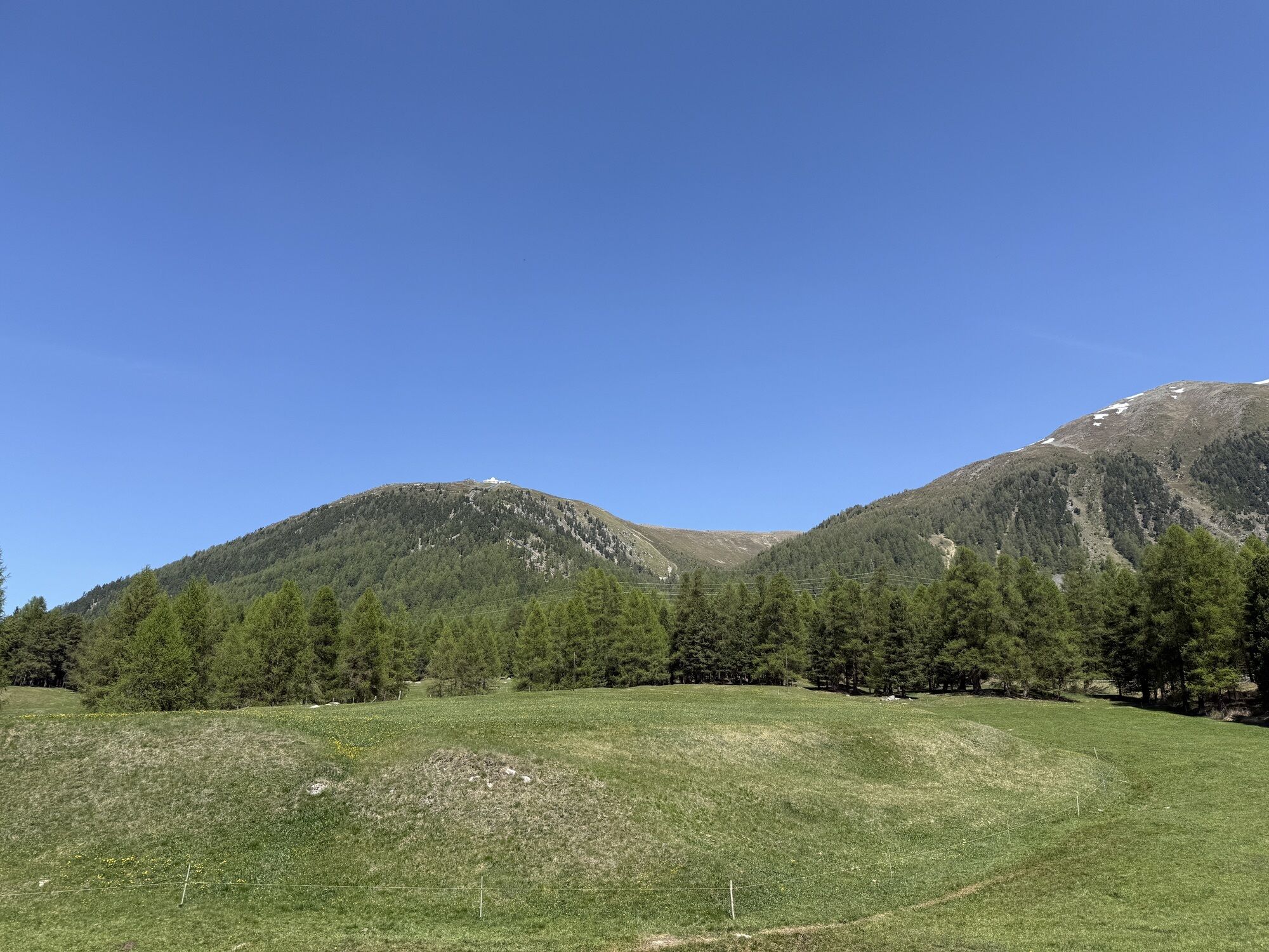
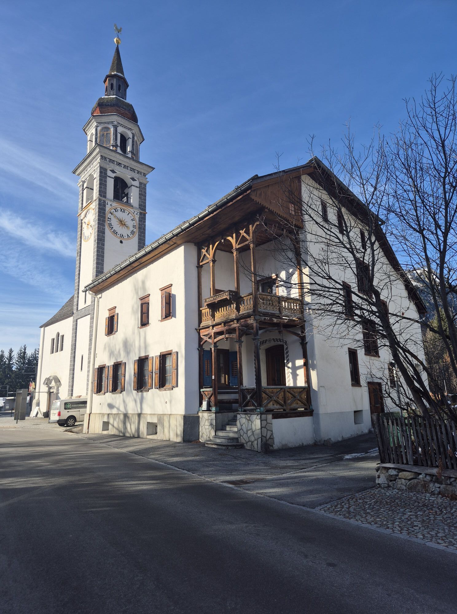
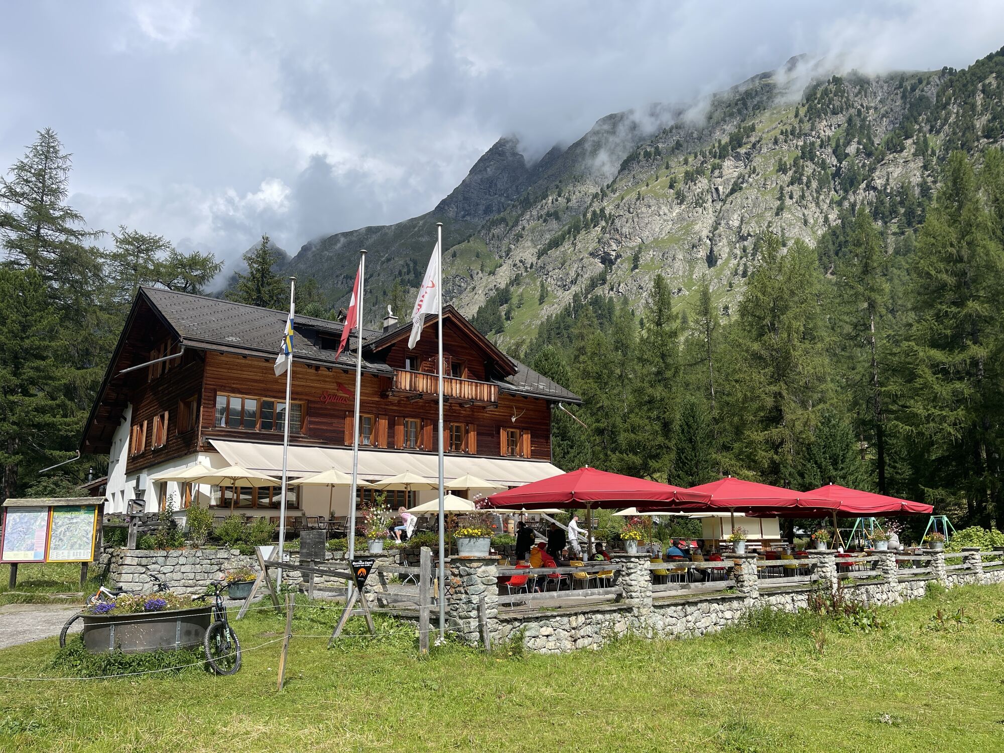
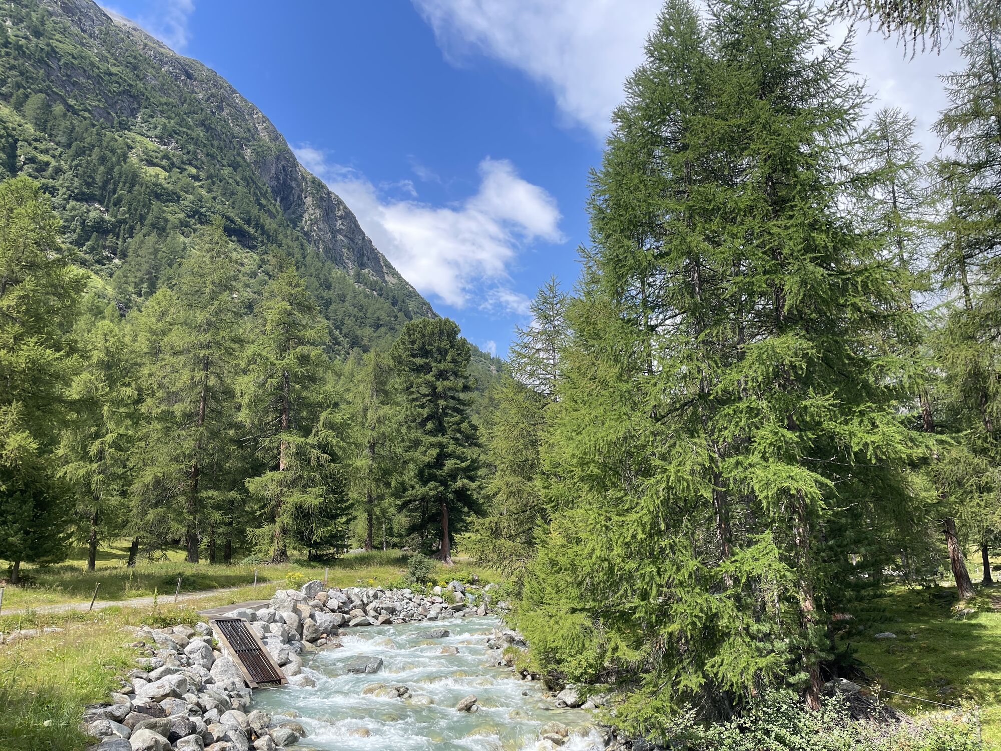
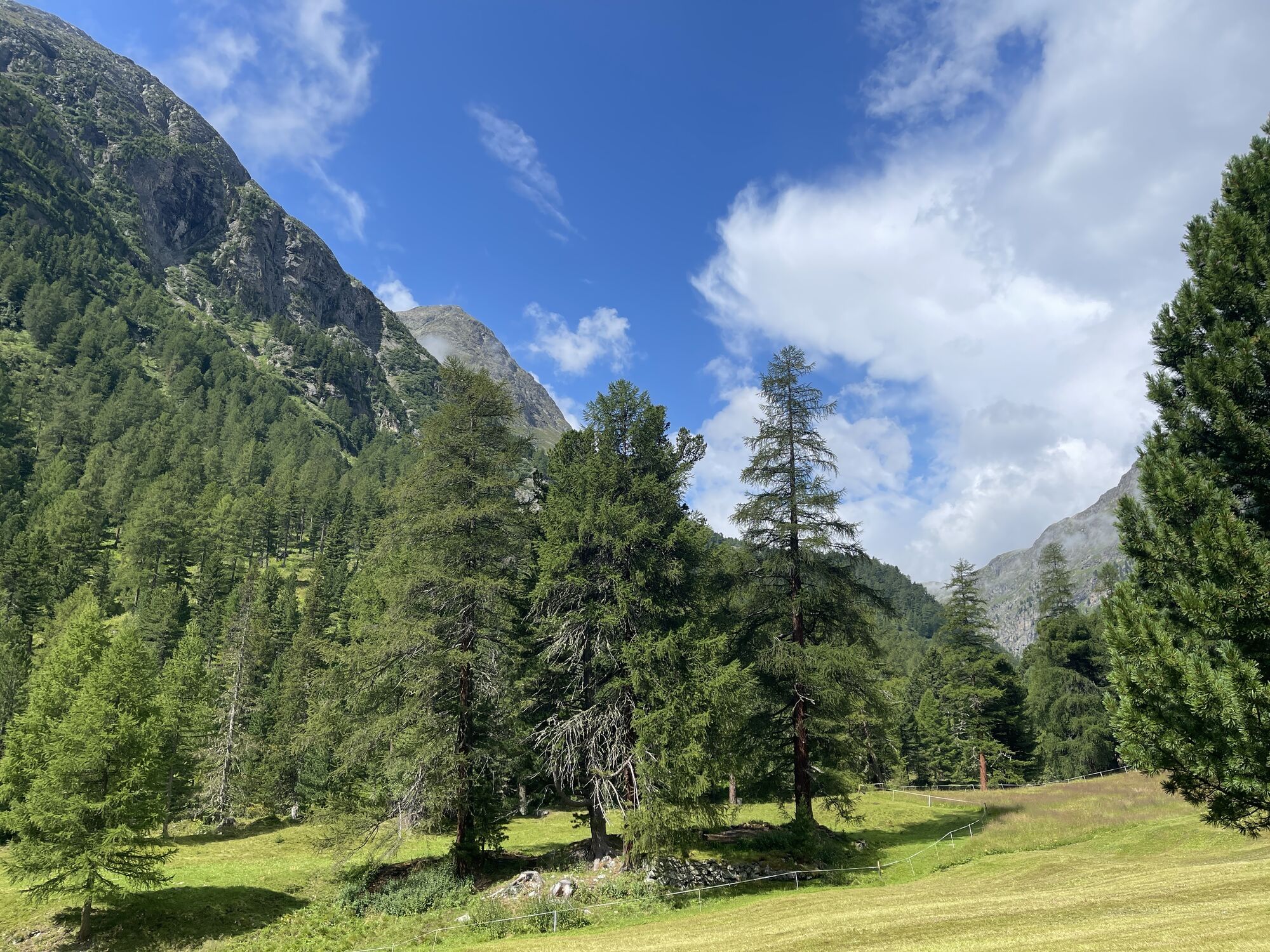
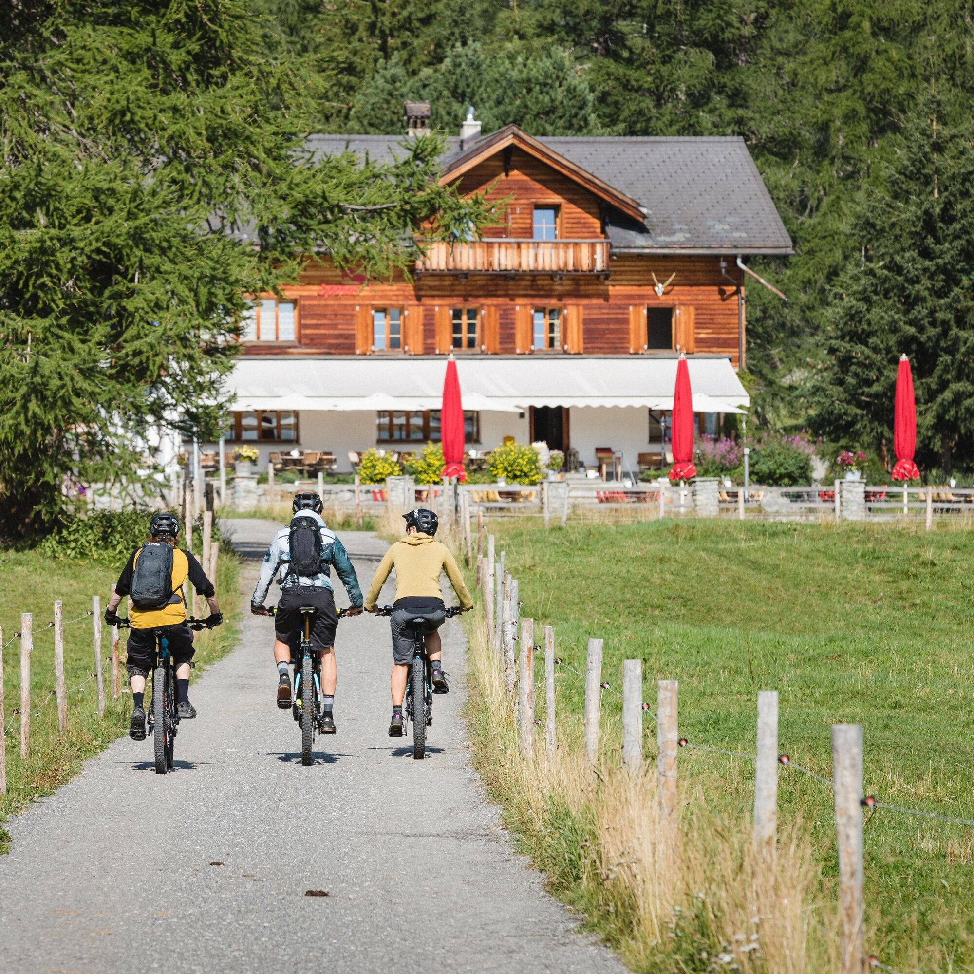
From Pontresina station, first along the railway tracks to Punt Muragl and then following the new Flaz stream to Camping Gravatscha. Enjoy the expanse around Samedan airfield and the view towards Zernez...
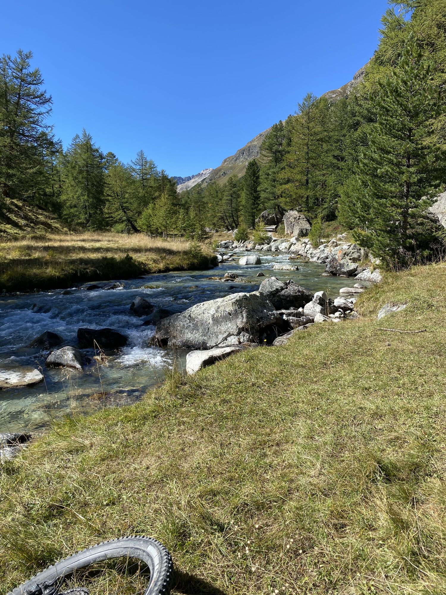
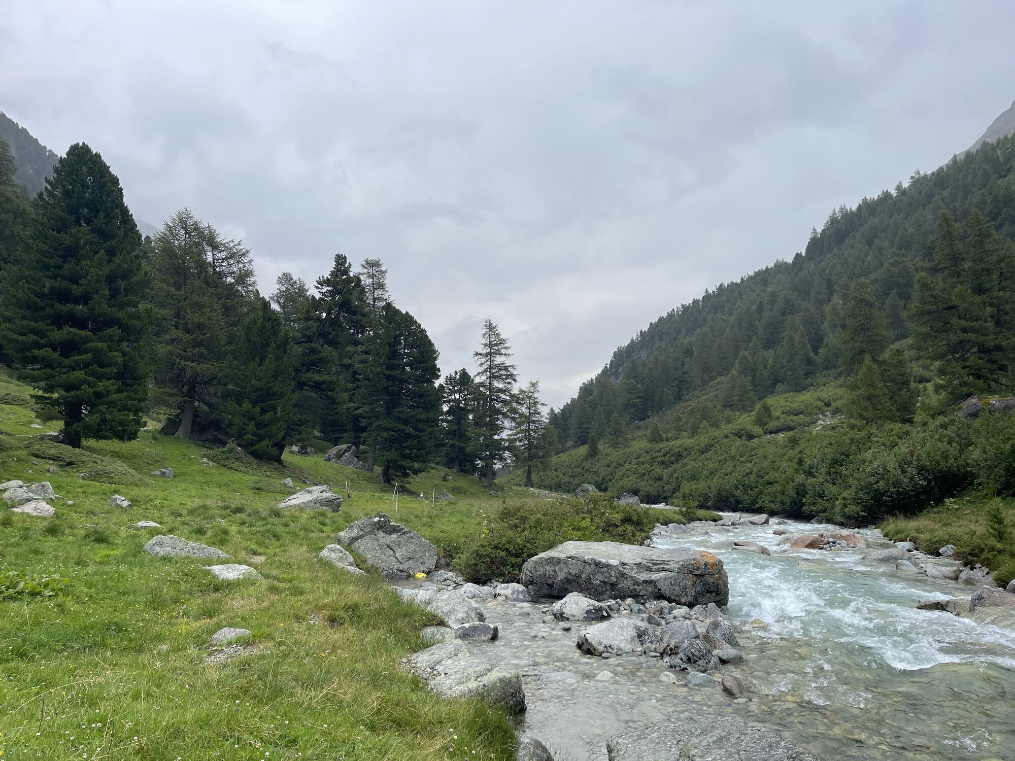
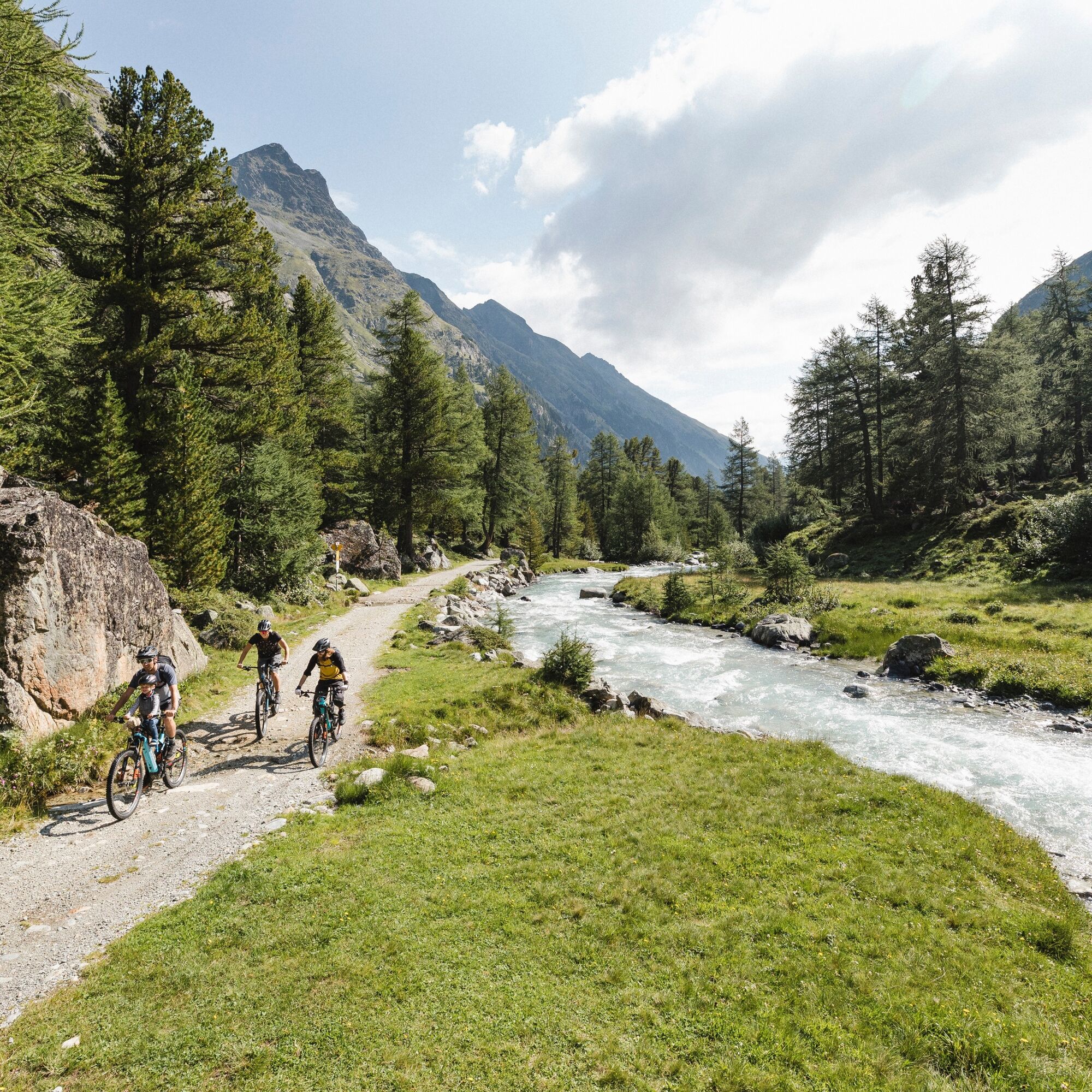
If you still haven't had enough, we recommend the rear Val Bever, where the landscape and especially the Beverin river can be seen in its wild, unspoilt state. Against this backdrop, it has been awarded the ‘Gewässerperle PLUS’ label since summer 2021.
Gewässerperle PLUS – a natural gem of national importance
The Beverin is the first river in Switzerland to be awarded the ‘Gewässerperle PLUS’ label. The 13.5-kilometre-long mountain stream received this special honour because it has remained largely untouched by humans – a true wild stream without artificial corrections. From its source near Piz d'Err to just before Bever, the Beverin meanders freely through the picturesque Val Bever, surrounded by valuable fens and floodplain landscapes. This unspoilt mountain water world provides an ideal habitat for many rare animal and plant species, including otters, brown trout, stoneflies and numerous willow species. The label recognises not only the ecological value of the Beverin, but also the commitment of the municipality of Bever to preserving this unique natural paradise.
A natural paradise thanks to revitalisation
The Inn floodplains near Bever are the result of one of Switzerland's largest water revitalisation projects. In two stages, the previously canalised Inn was restored to a near-natural state by 2020. Where dams on both sides used to constrain the water, the river can now flow freely – up to 200 metres wide during floods. This dynamic floodplain landscape of national importance is constantly changing due to high and low water levels – the Inn forms new gravel banks, islands and riparian landscapes, creating valuable habitats for rare pioneer plants and endangered animal species such as the common sandpiper. Even a family of beavers feels at home here! The revitalised Inn floodplains are not only a boon for biodiversity, but also an attractive local recreation area that delights locals and visitors alike.
Further information
Engadin Tourism AG
Via Maistra 1
CH-7500 St. Moritz
Phone: +41 81 830 00 01
E-Mail: allegra@engadin.ch
Internet: www.engadin.ch

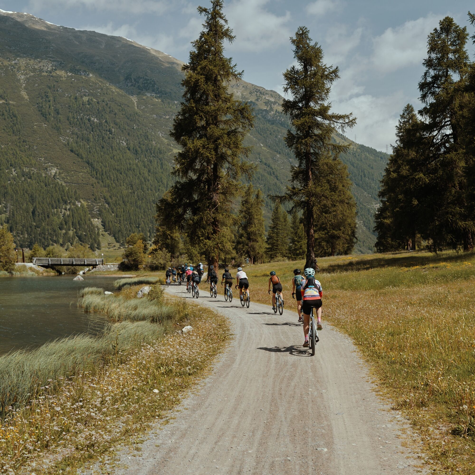

Pontresina - Punt Muragl - Gravatscha - Bever - Spinas - Zembers da Suvretta - Spinas - Bever - Gravatscha - Punt Muragl - Pontresina
Tak
2
In Isellas, information boards stand about the renaturation of the Inn meadows.
Heavily frequented in the high season.
Kamery internetowe z trasy
-
Corviglia
-
St. Moritz / Samedan - Muottas Muragl
-
Camping Morteratsch
-
Samedo - Engadin Golf
-
St. Moritz / Samedan - Muottas Muragl
-
St. Moritz / Samedan - Muottas Muragl
-
St. Moritz / Samedan - Muottas Muragl
-
St. Moritz / Samedan - Muottas Muragl
-
Corviglia
-
Corviglia
-
Corviglia
-
Corviglia
-
Corviglia
-
Corviglia
-
Corviglia
-
Celerina - Cresta Palace
-
Celerina - Skiwiese Provuler
-
St. Moritz / Trais Fluors Bergstation
-
La Punt - Wasserreservoir
-
Samedan - Engadin Airport
-
Preda - Albulatunnel
-
Trais Fluors Bergstation
-
Trais Fluors Bergstation
-
Trais Fluors Bergstation
-
Trais Fluors Bergstation
-
Trais Fluors Bergstation
-
Trais Fluors Bergstation
-
Trais Fluors Bergstation
-
Trais Fluors Bergstation
-
Sporthotel Pontresina
-
Pontresina - Hotel Walther
-
Pontresina - Langlauf und Bikezentrum
-
Pontresina - Eiskletter-Schlucht
-
Pontresina - Hotel Saratz
Uzyskaj wgląd
Zawsze na żywo z ponad 9 500 kamer internetowych. bergfex Jako użytkownik Pro, możesz teraz zobaczyć odpowiednie kamery internetowe dla wielu wycieczek w aplikacji wycieczki od. Pozwala to na bezpośredni podgląd aktualnych warunków.
Popularne wycieczki w okolicy
-
5,0
Morteratsch station - Boval Hut
średniWędrówka 10,5 km -
4,7
Panoramic route Muottas Muragl
światłoWędrówka 6,75 km -
5,0
Muottas Muragl - Segantini hut - Pontresina
średniWędrówka 6,46 km -
4,5
Pontresina - Val Roseg - Pontresina
światłoWędrówka 13,8 km -
4,7
SAC Tschierva
światłoWędrówka 24,7 km -
4,7
Morteratsch Glacier route
światłoTrasa tematyczna 2,88 km -
4,8
Around Lake St. Moritz
światłoWędrówka 4,32 km -
Muottas Muragl - Segantini Hütte - Pontresina
średniWędrówka 17,5 km -
4,7
Alp Languard - Segantini Hut - Muottas Muragl
średniTrailrunning 6,45 km -
5,0
Lej Muragl
średniWędrówka 7,39 km
Wędrówki i tropienie


Nie przegap ofert i inspiracji na następne wakacje
Twój adres e-mail została dodana do listy mailingowej.





