







Inn cycle path: Stage 1 Maloja - La Punt
Poziom trudności: 3
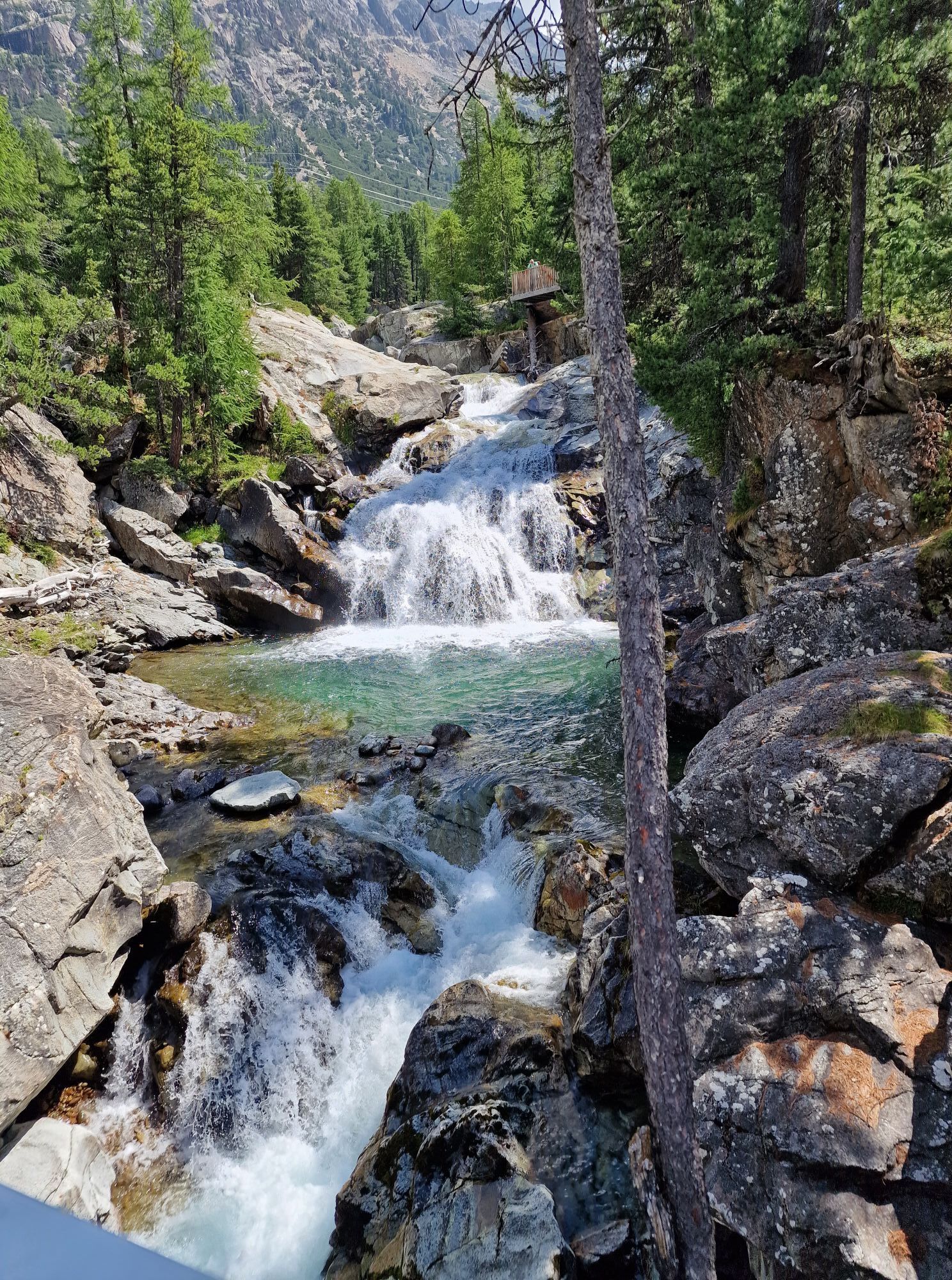
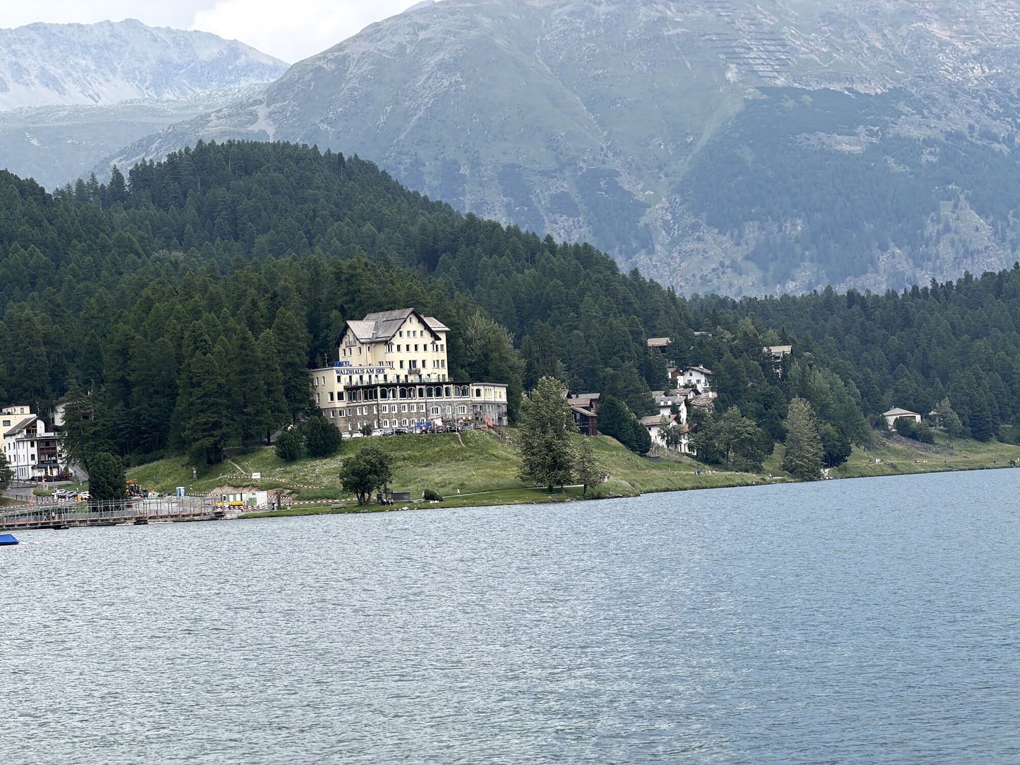
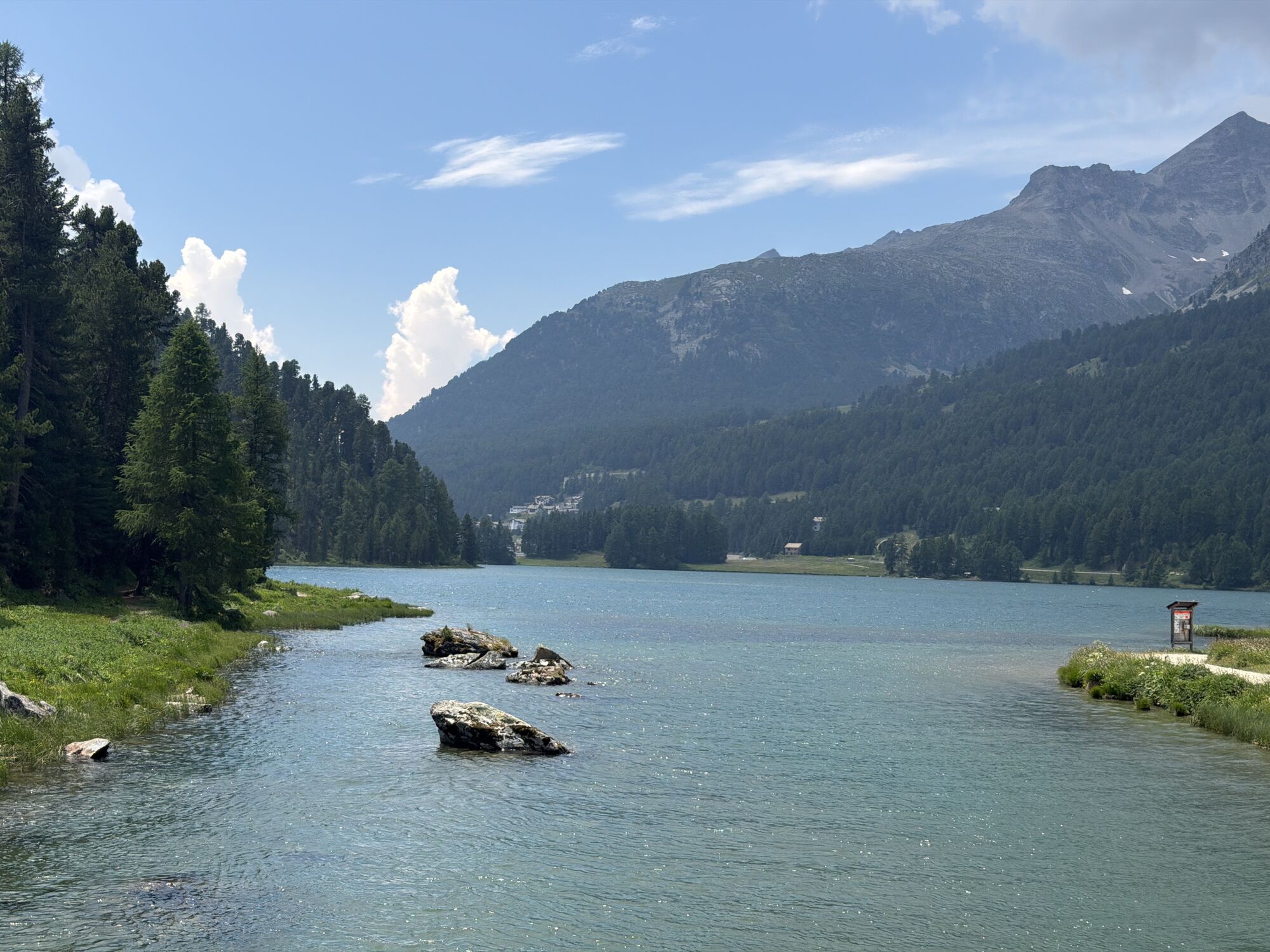
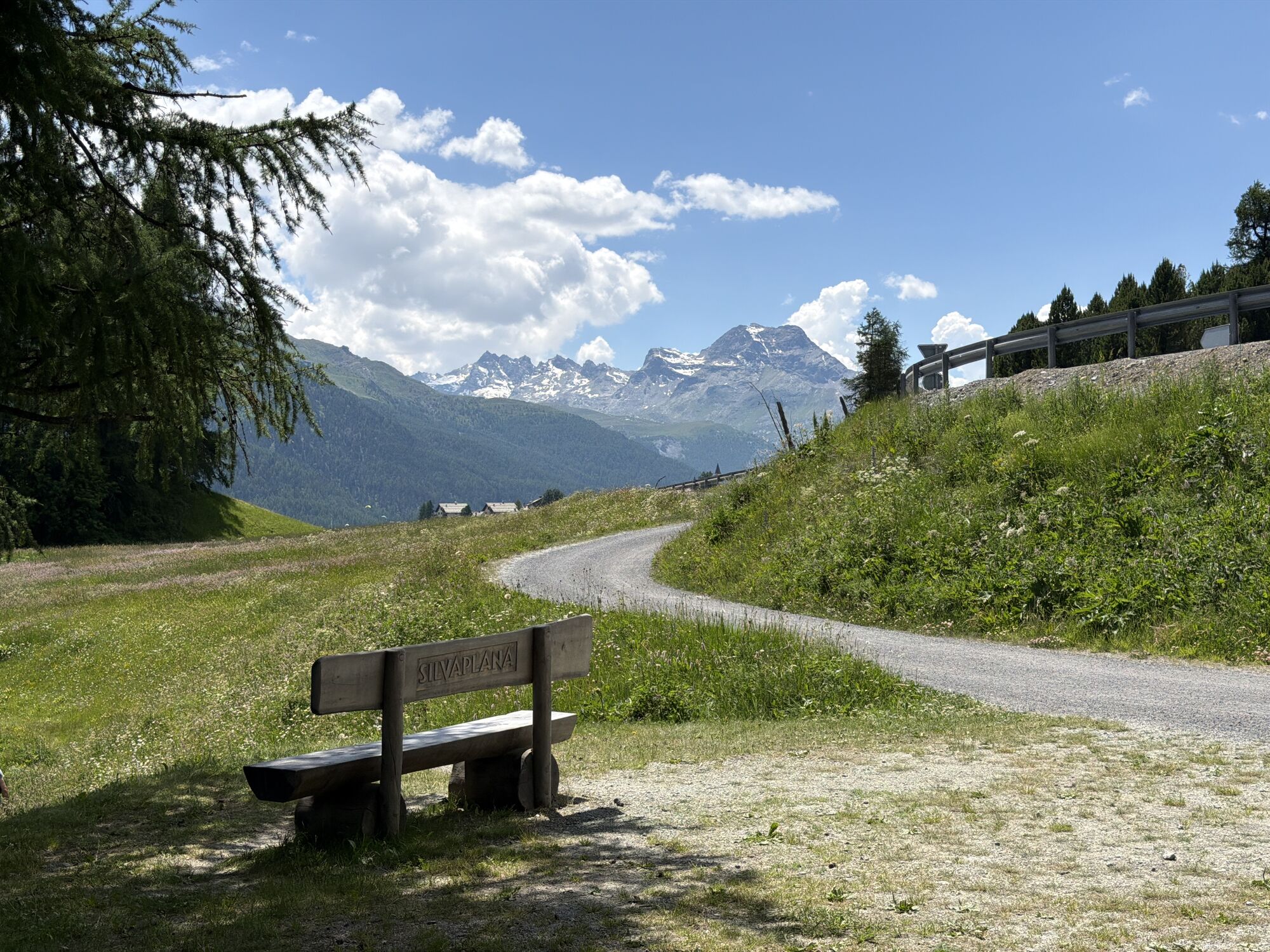
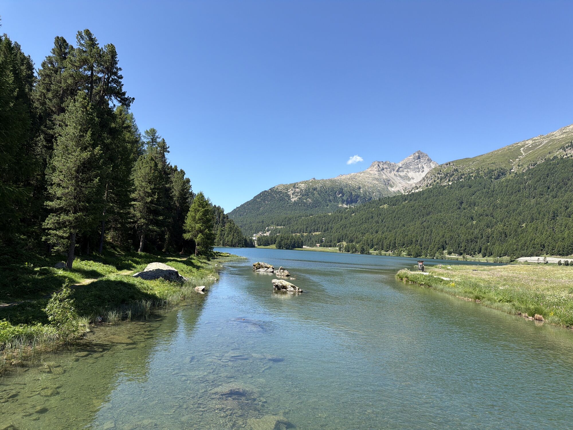
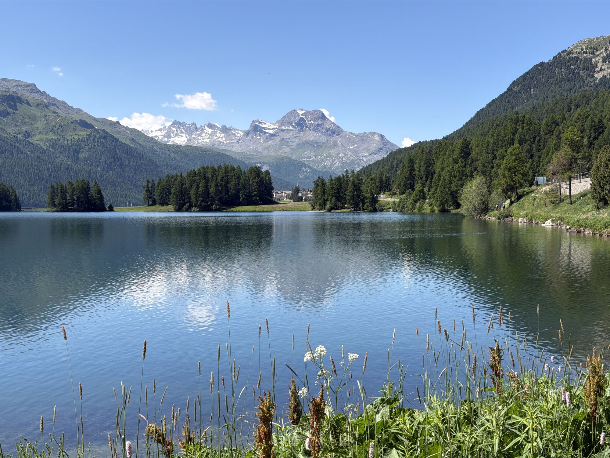
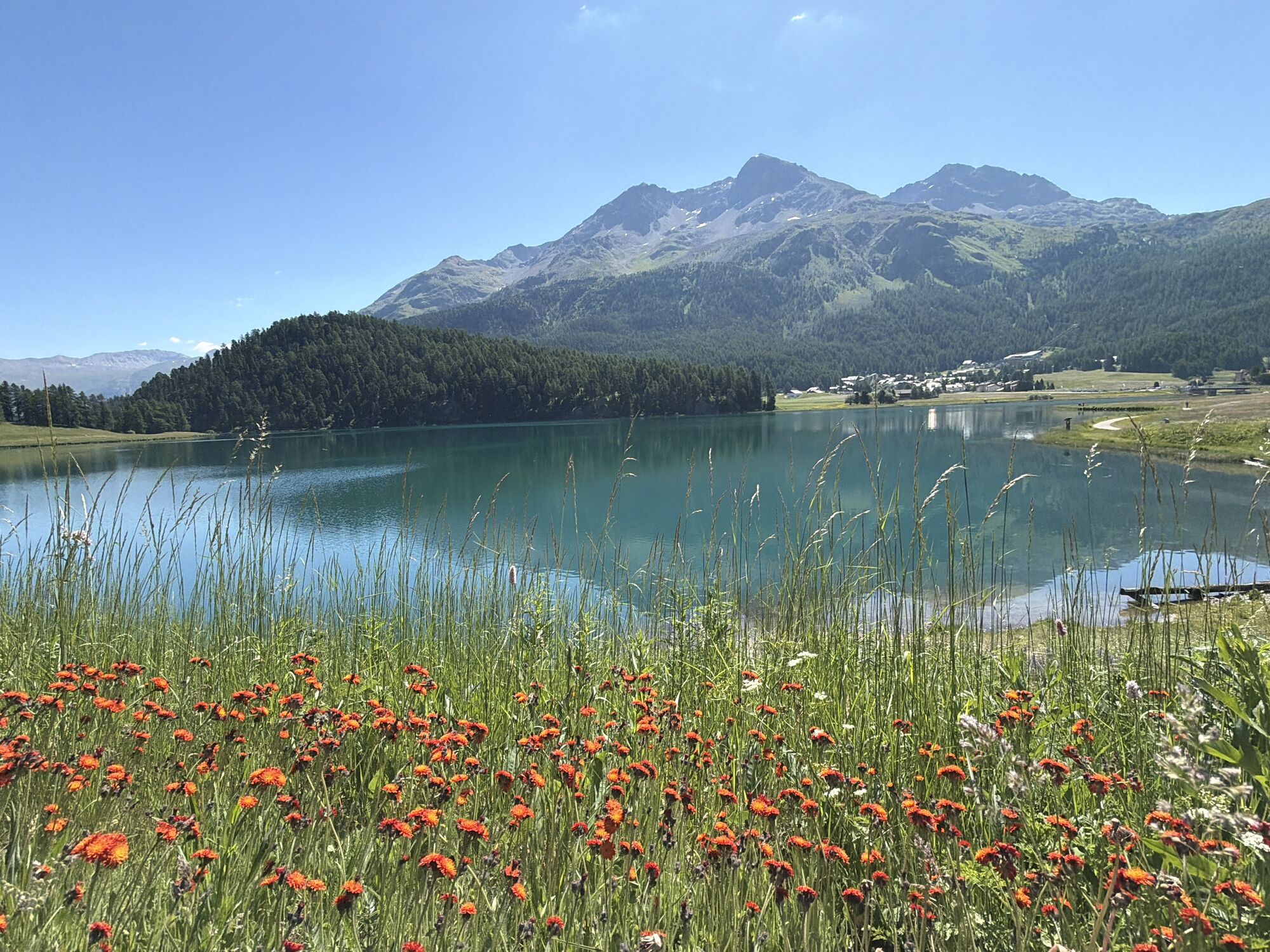
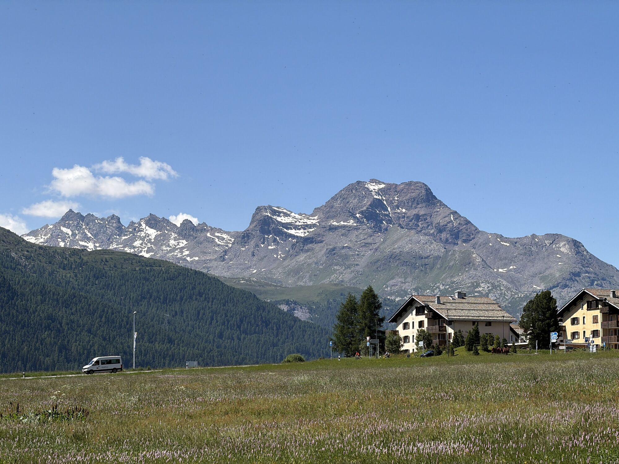
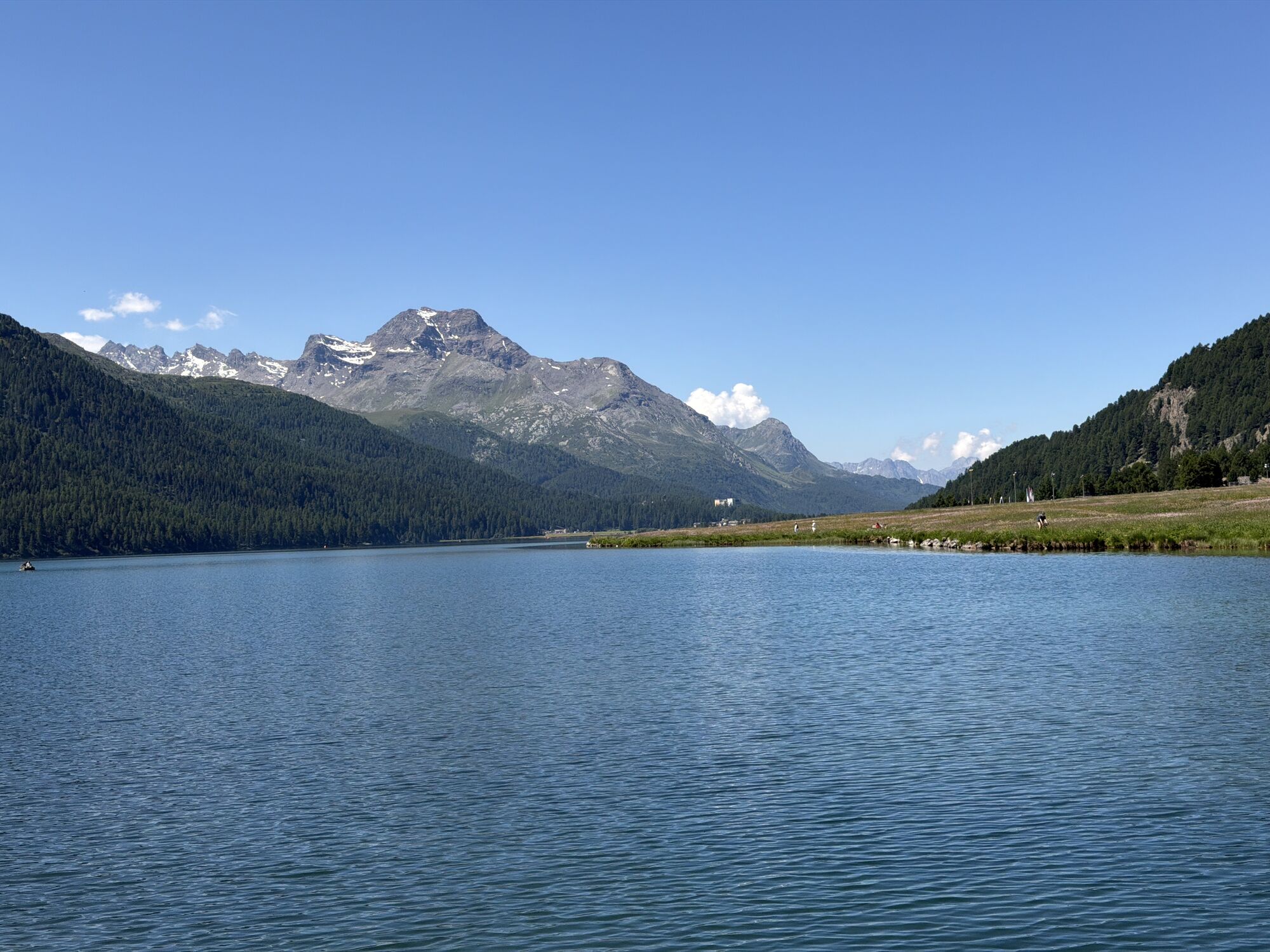
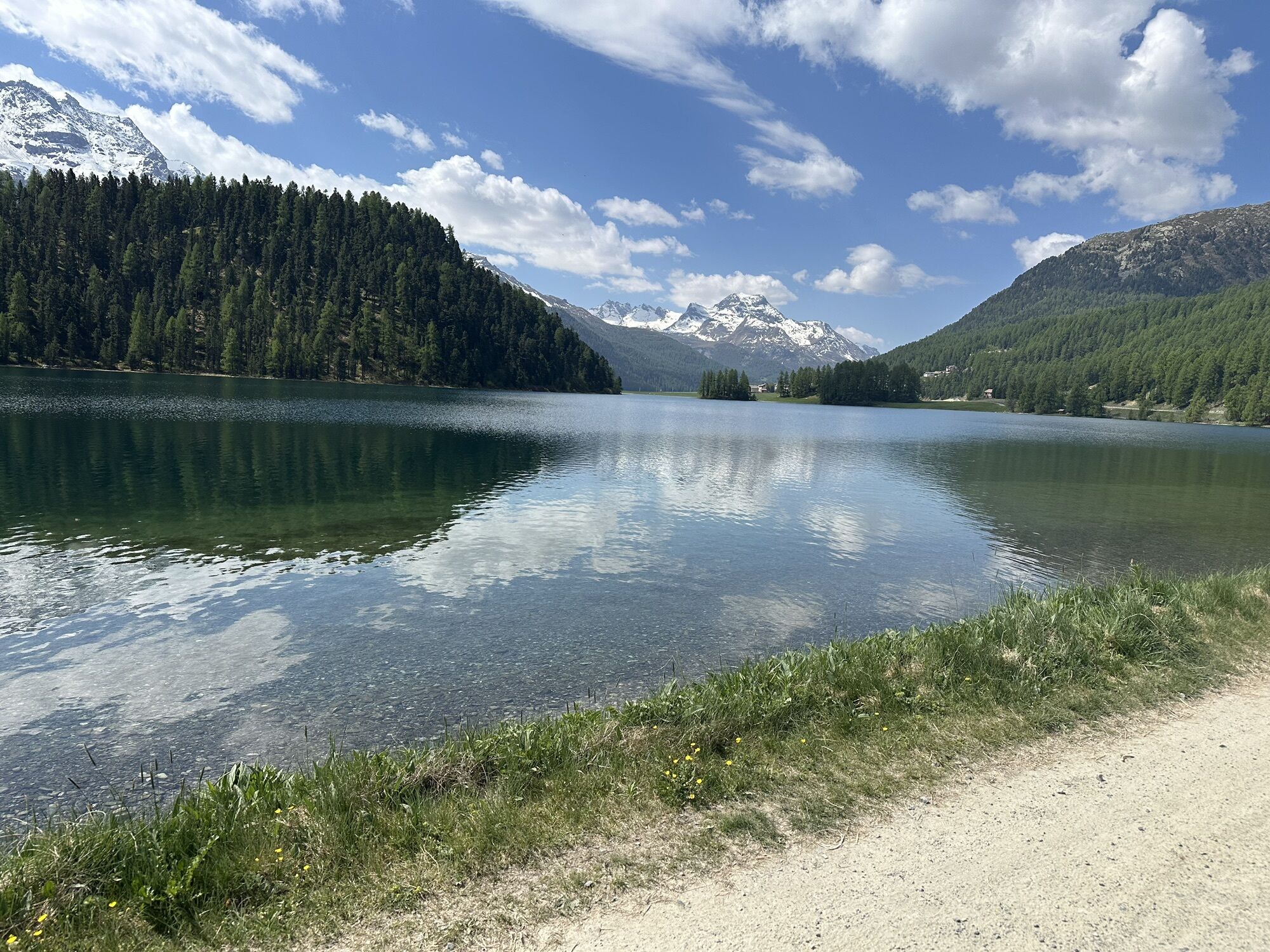
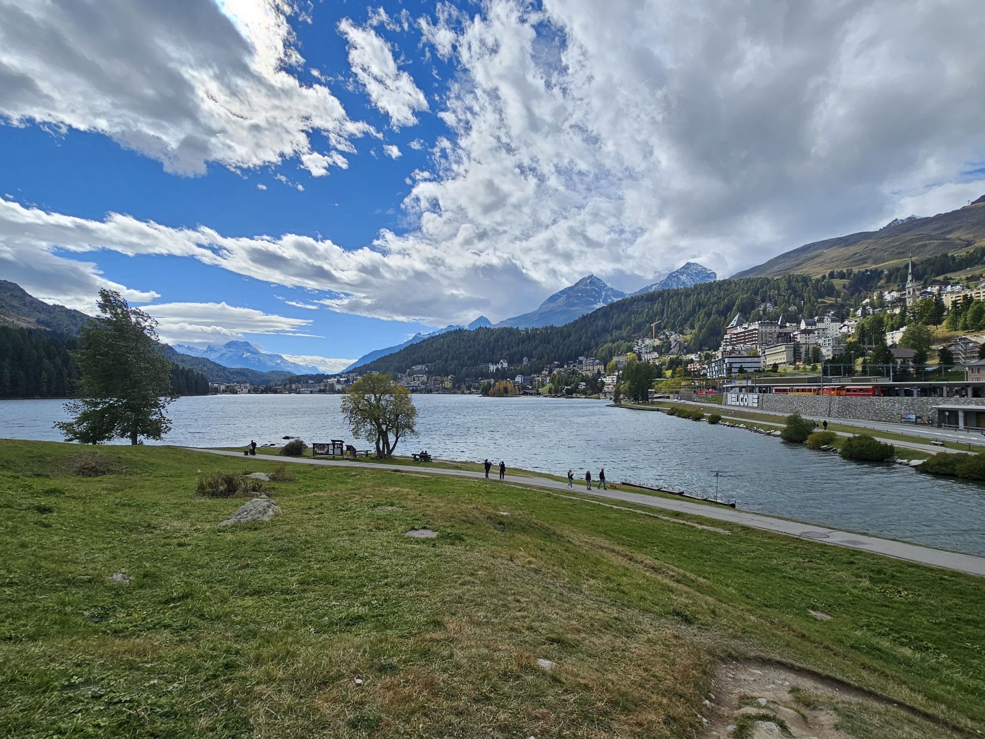

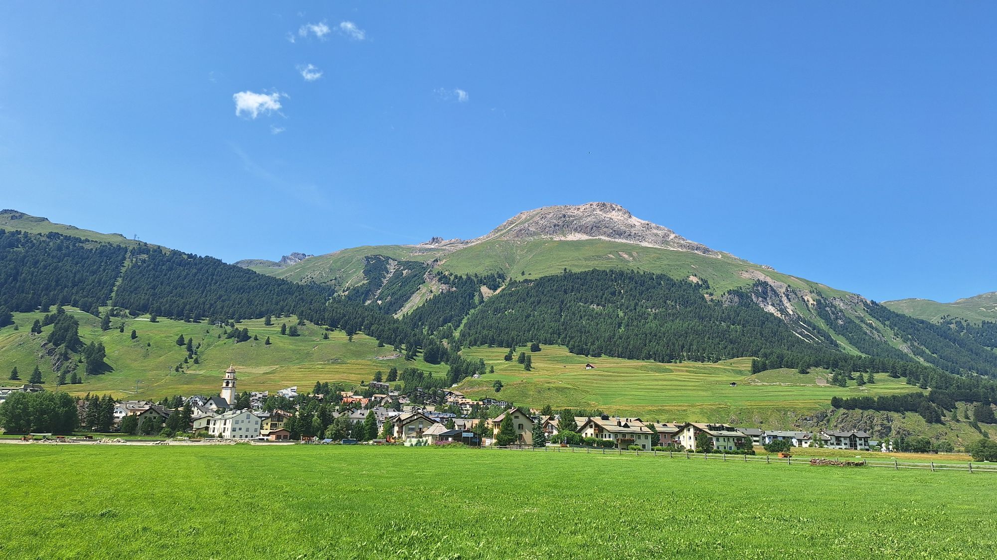
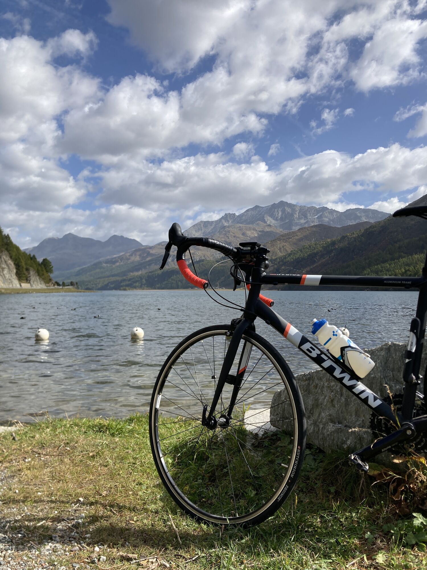
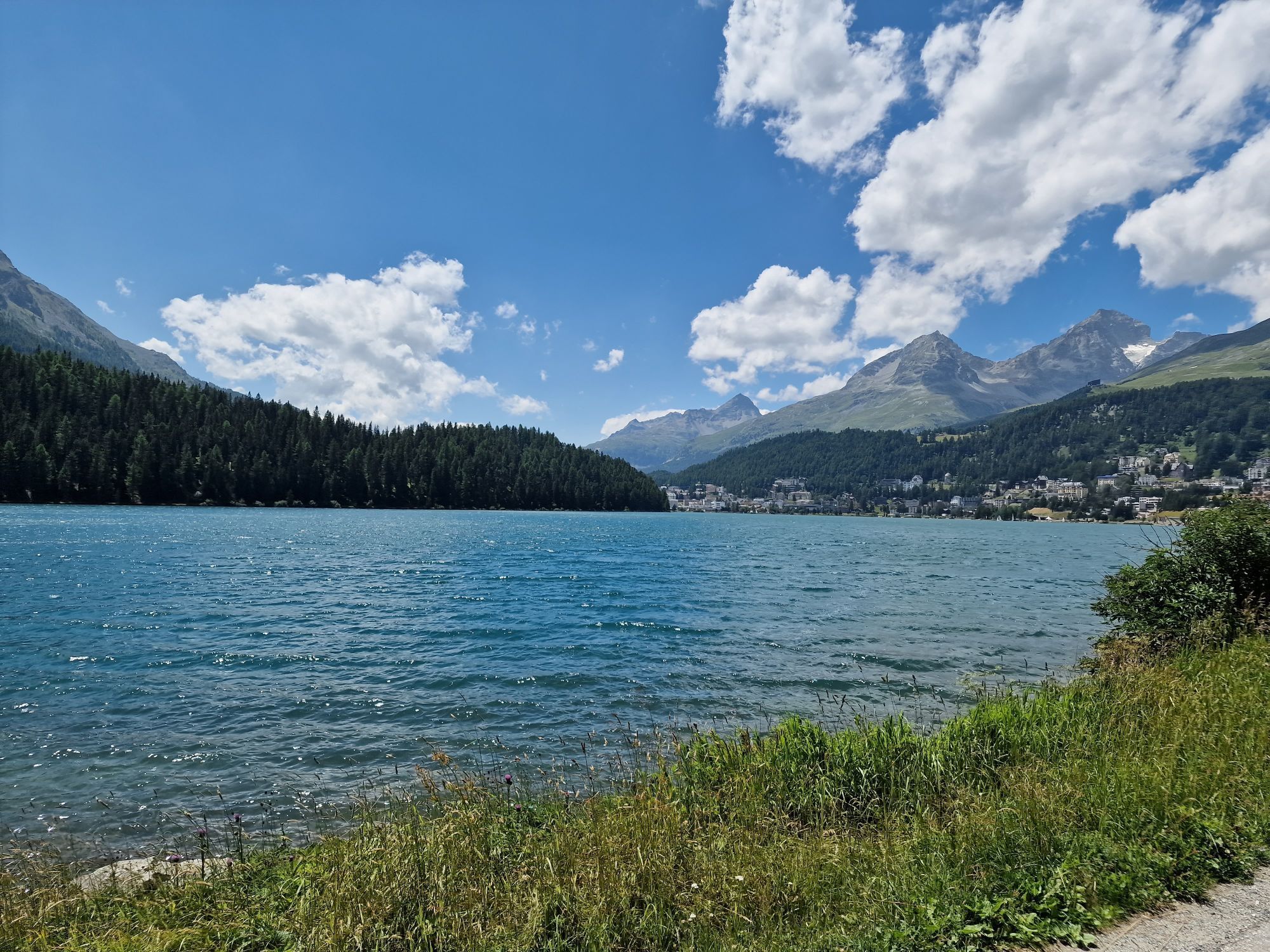
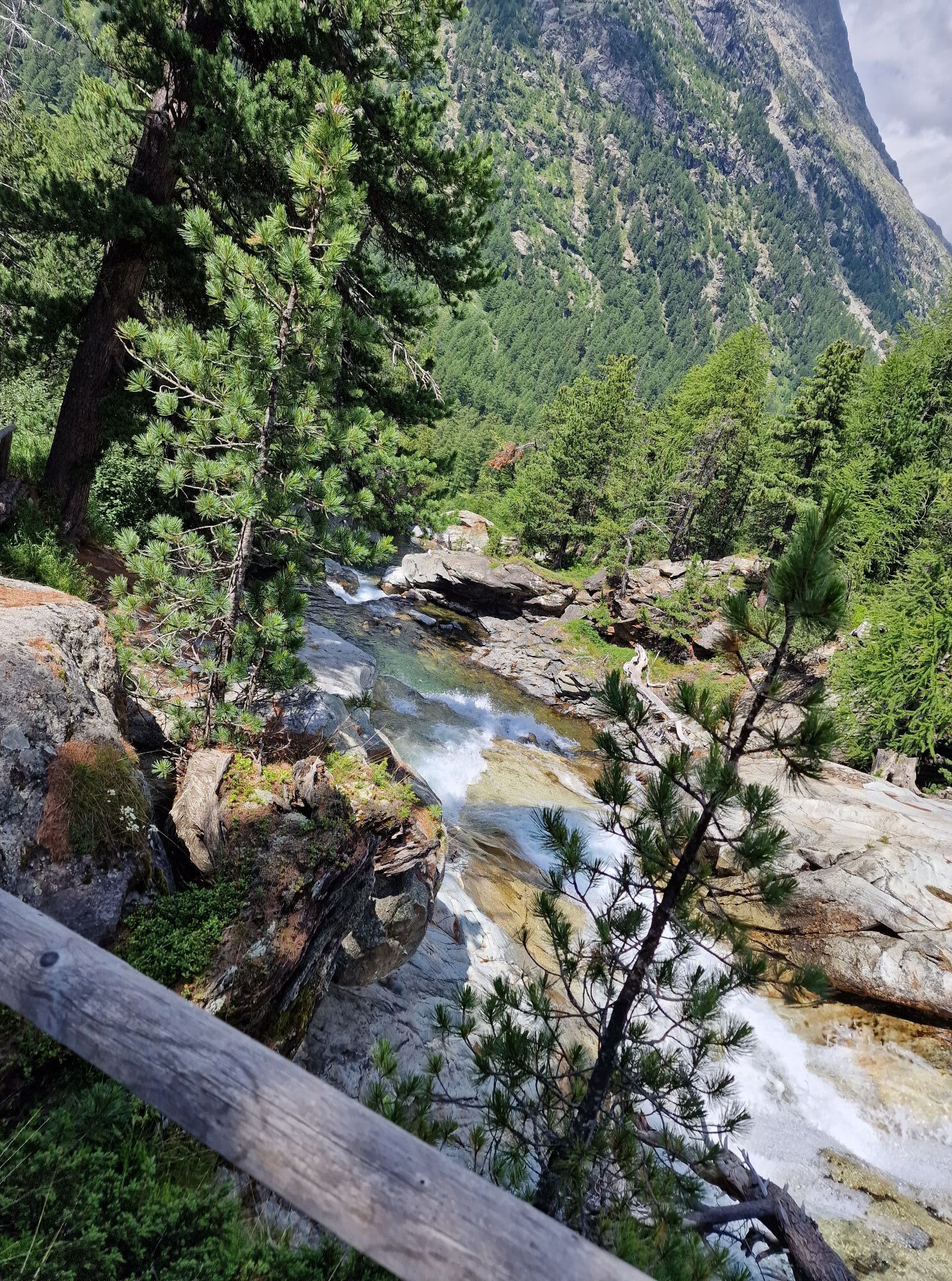
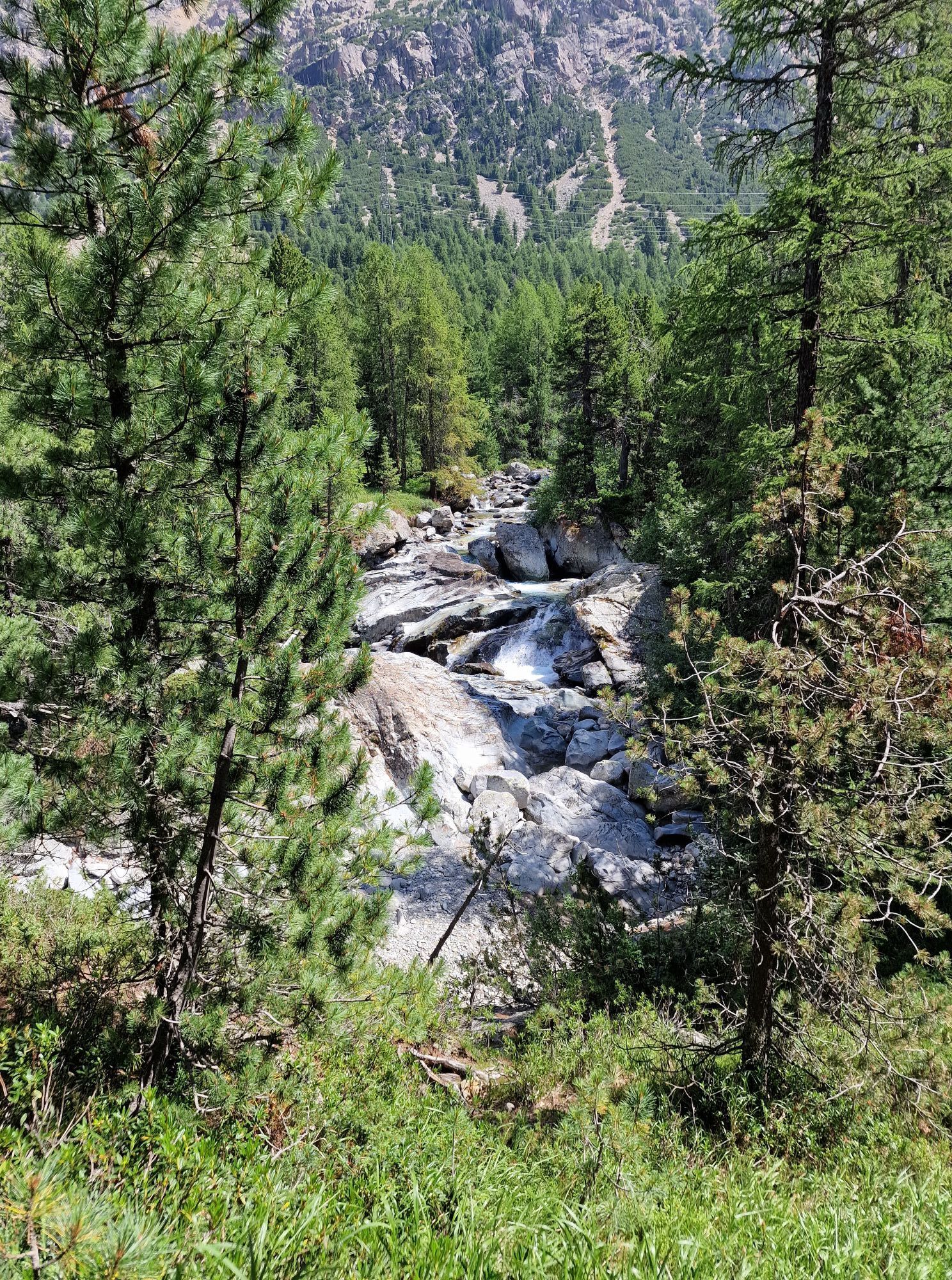
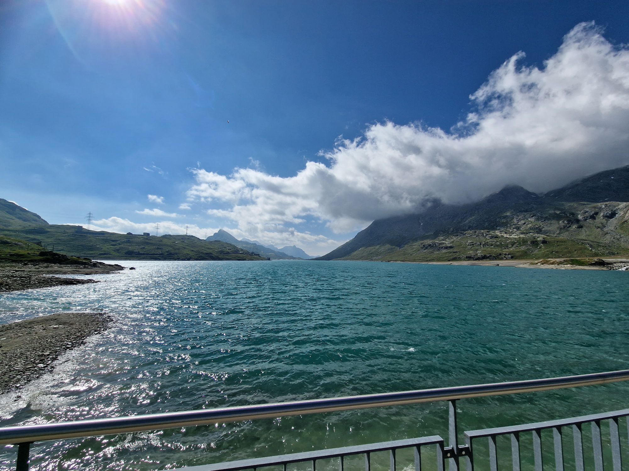
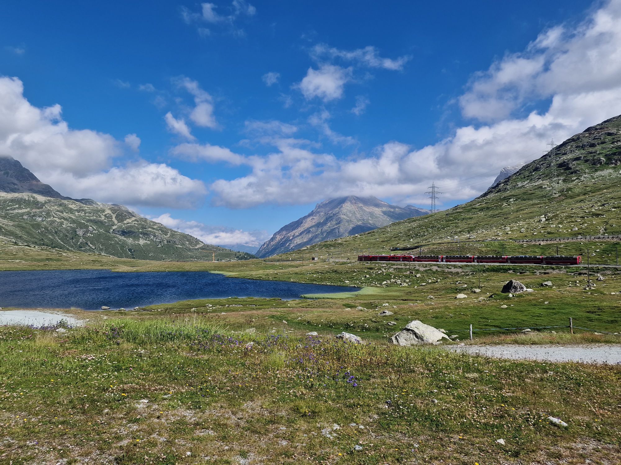
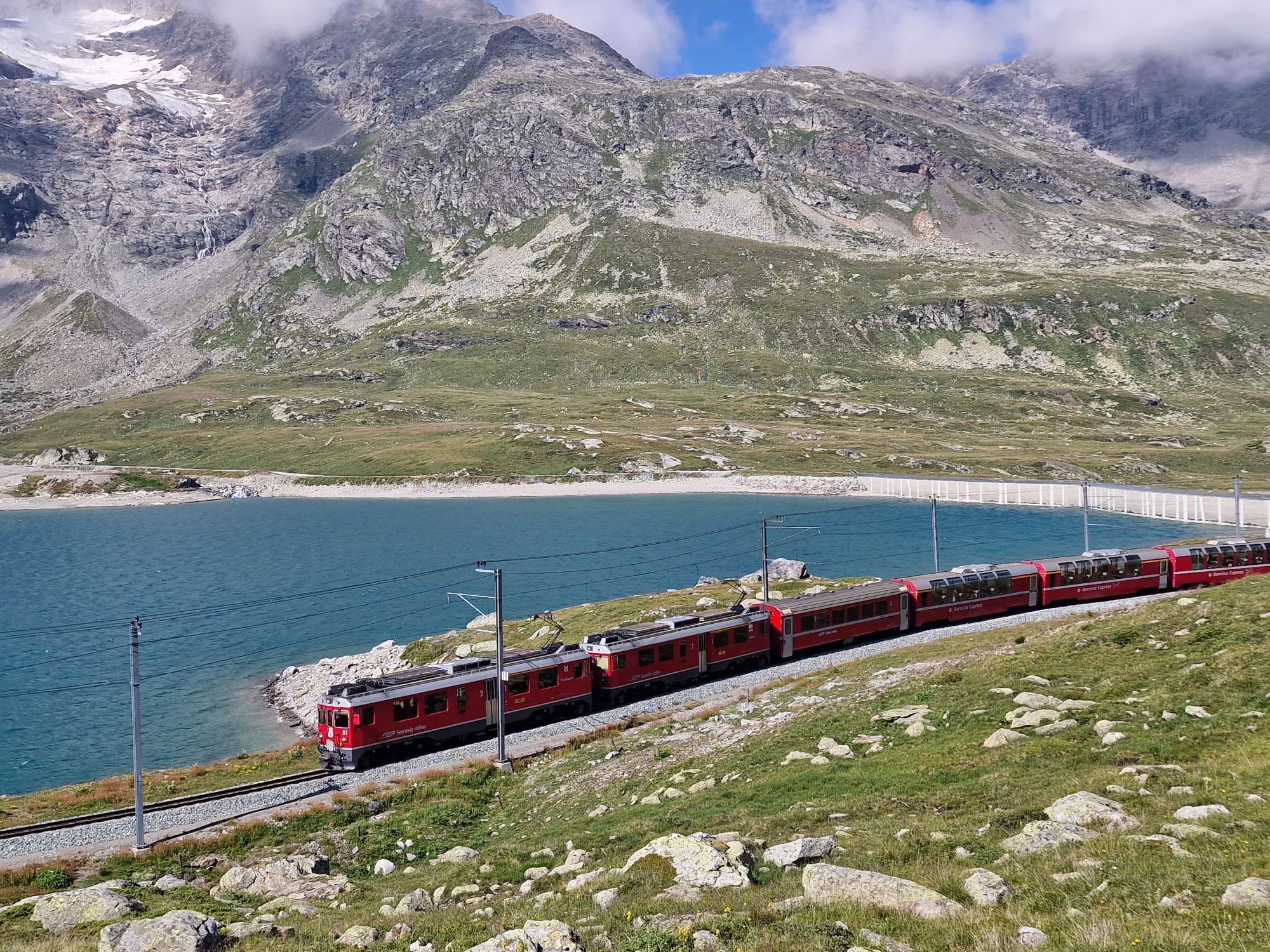
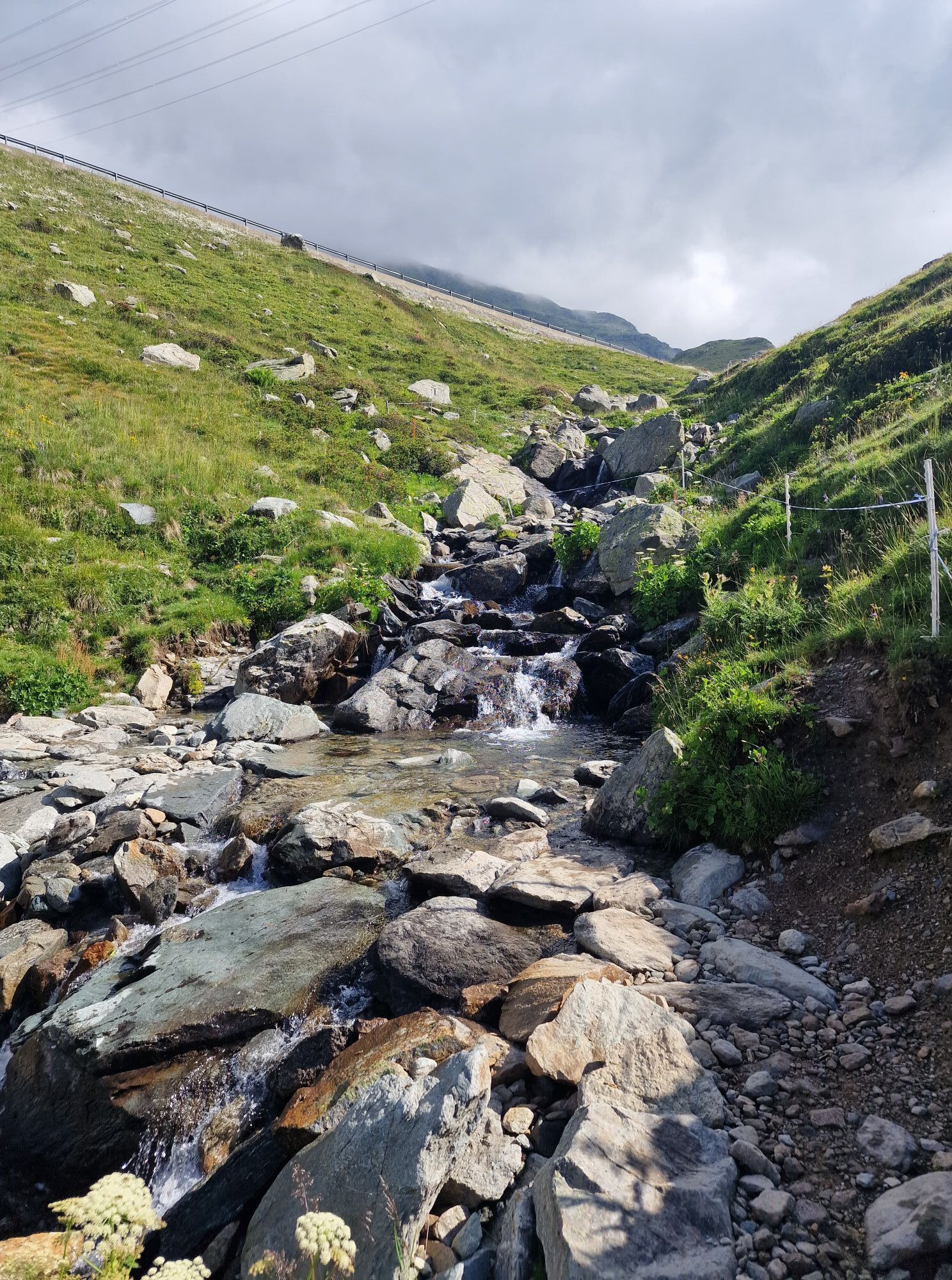
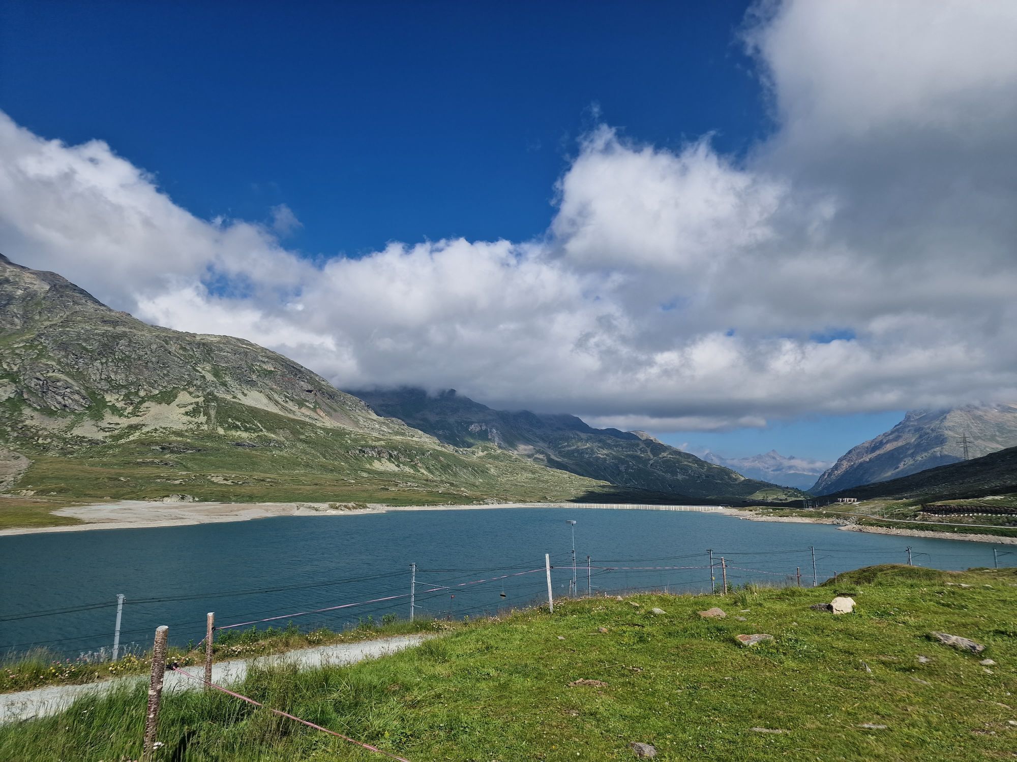
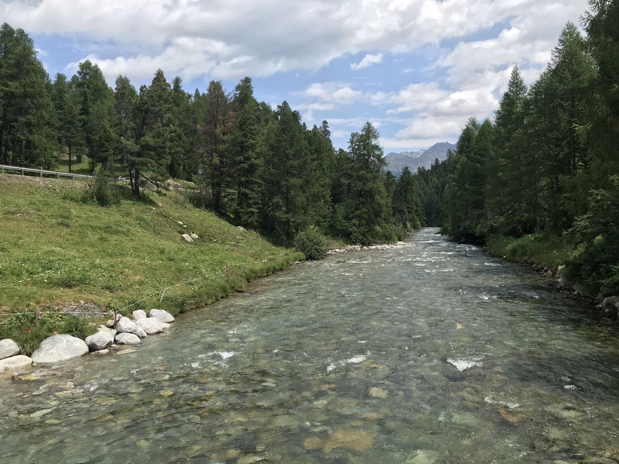
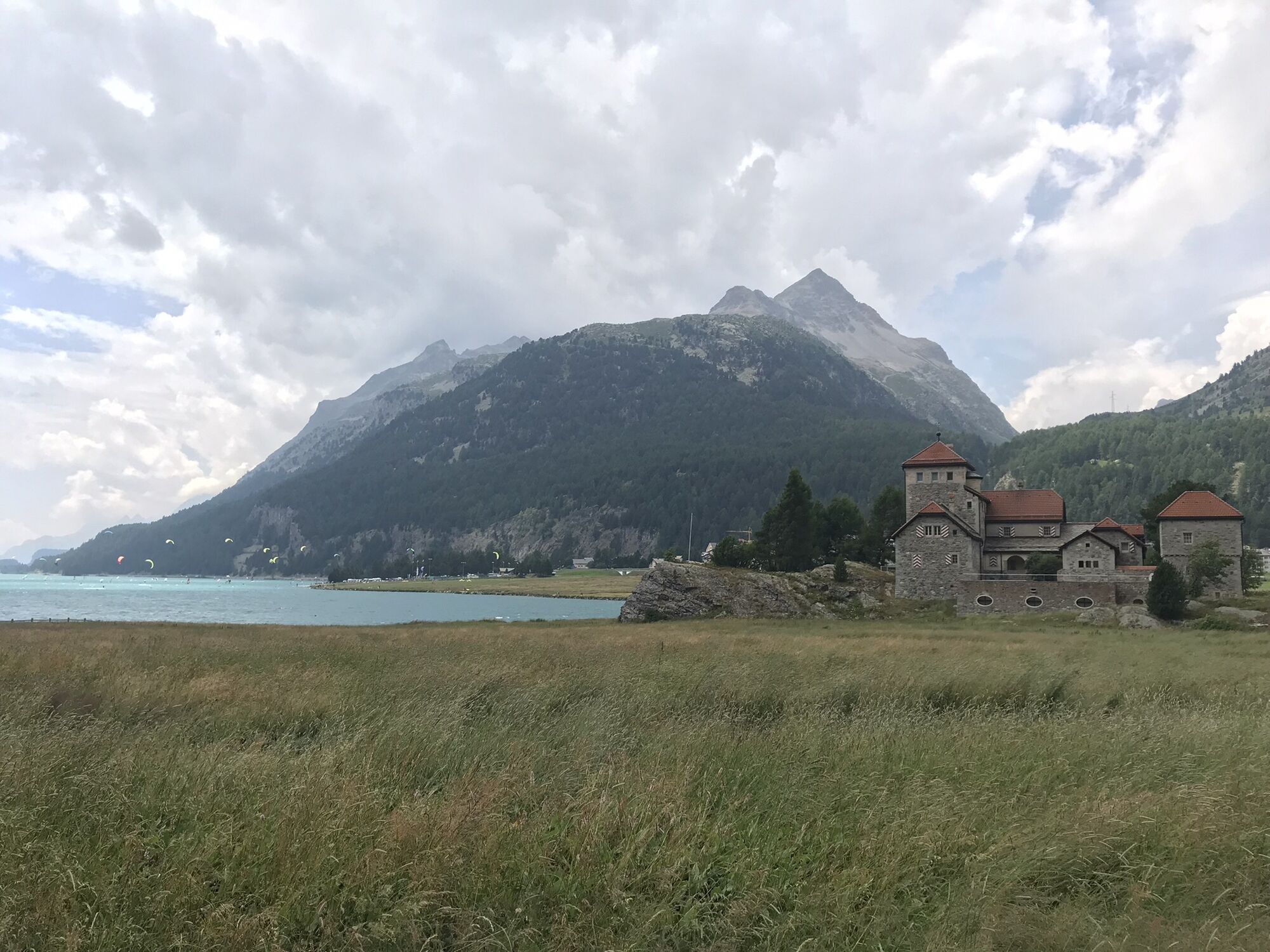
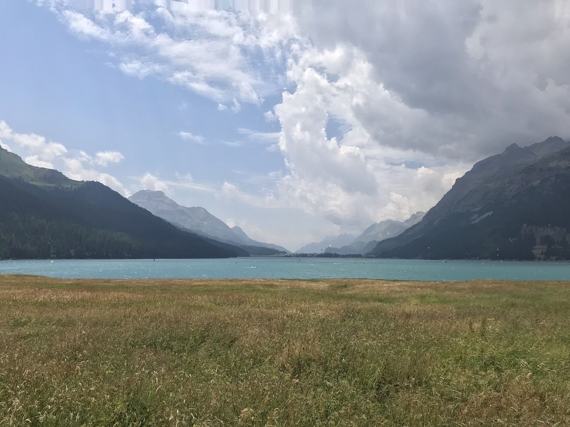
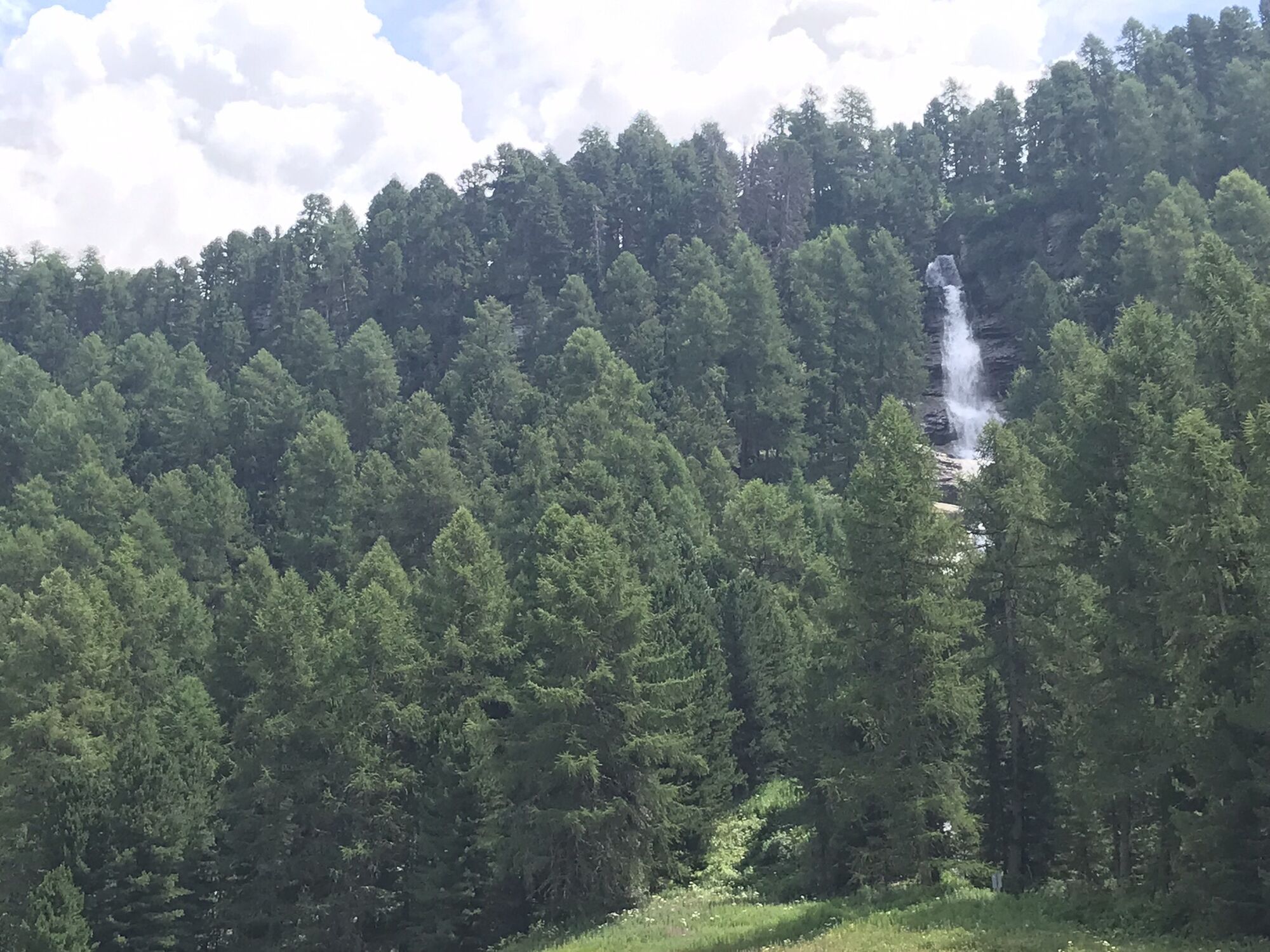
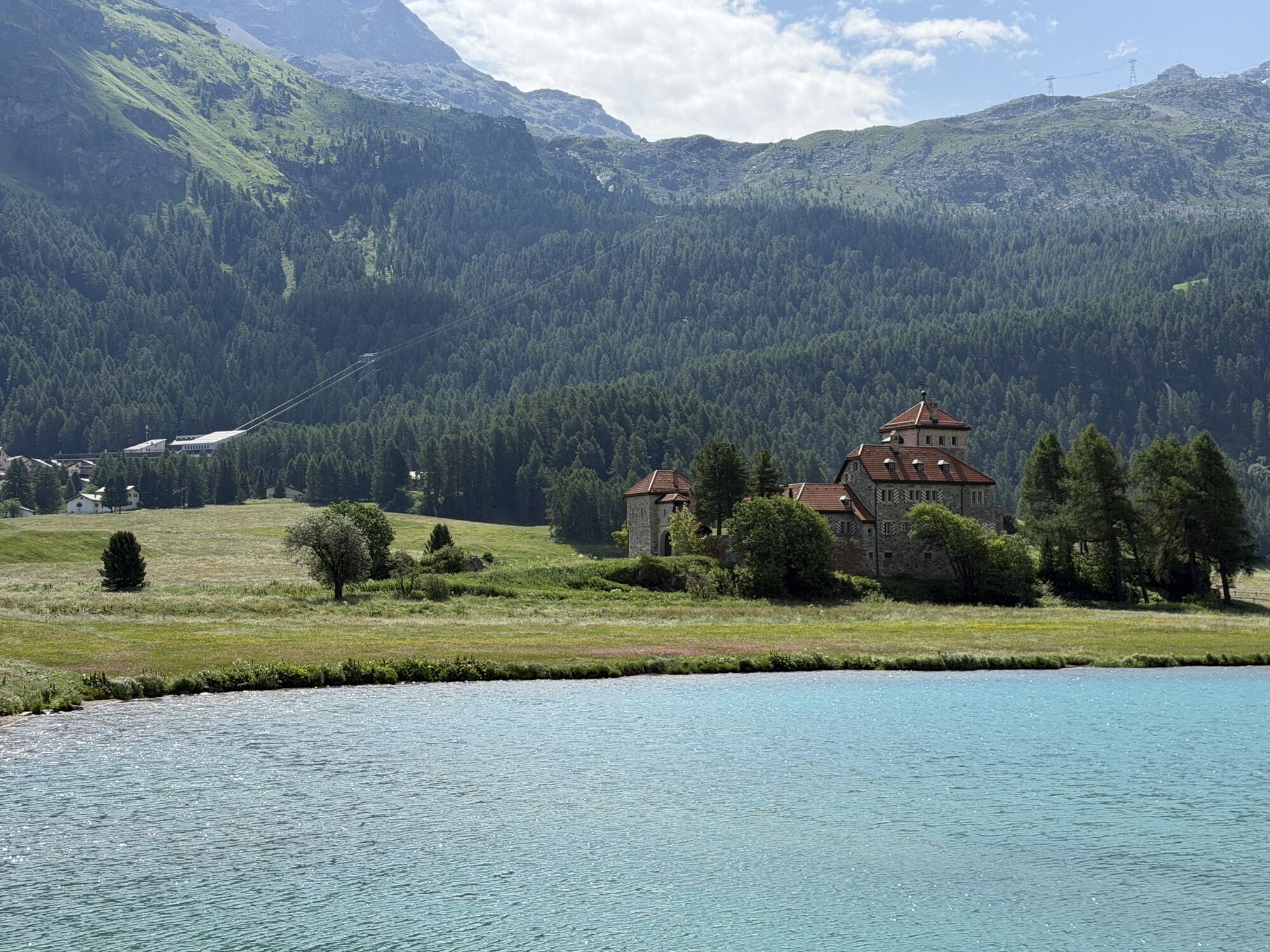
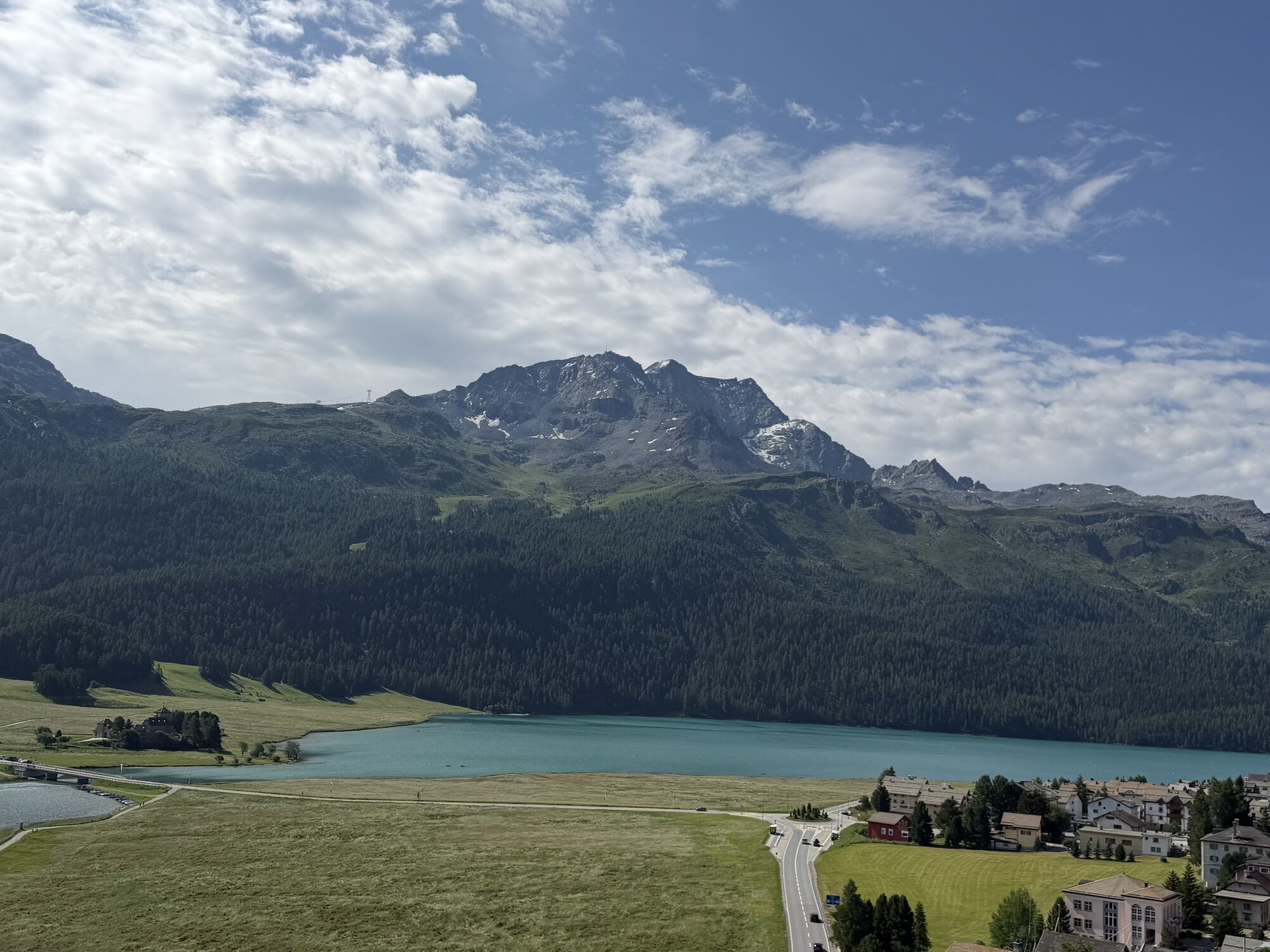
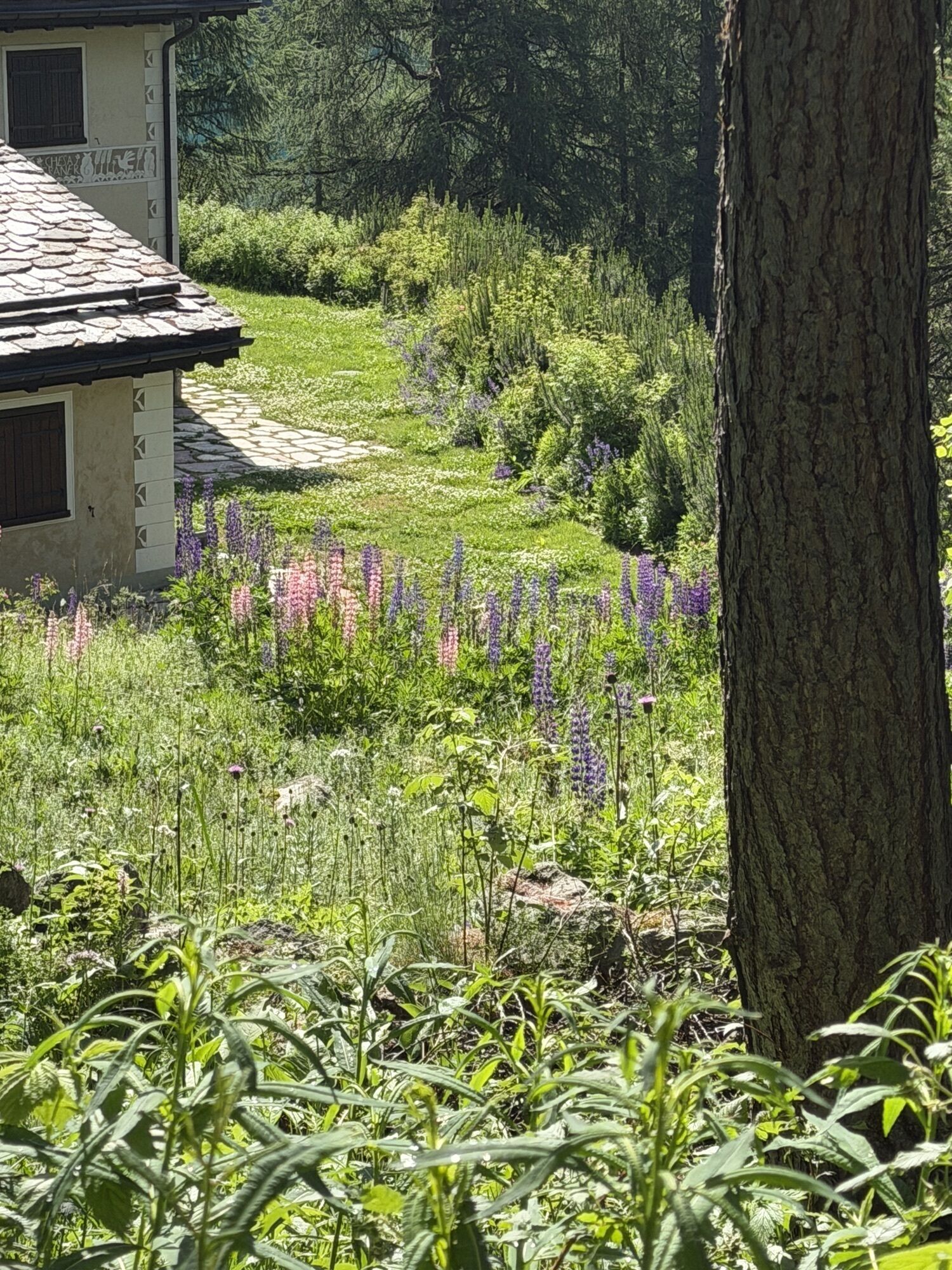
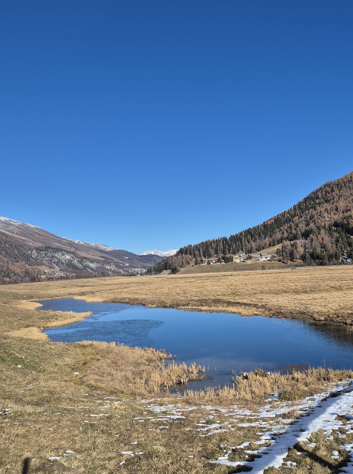
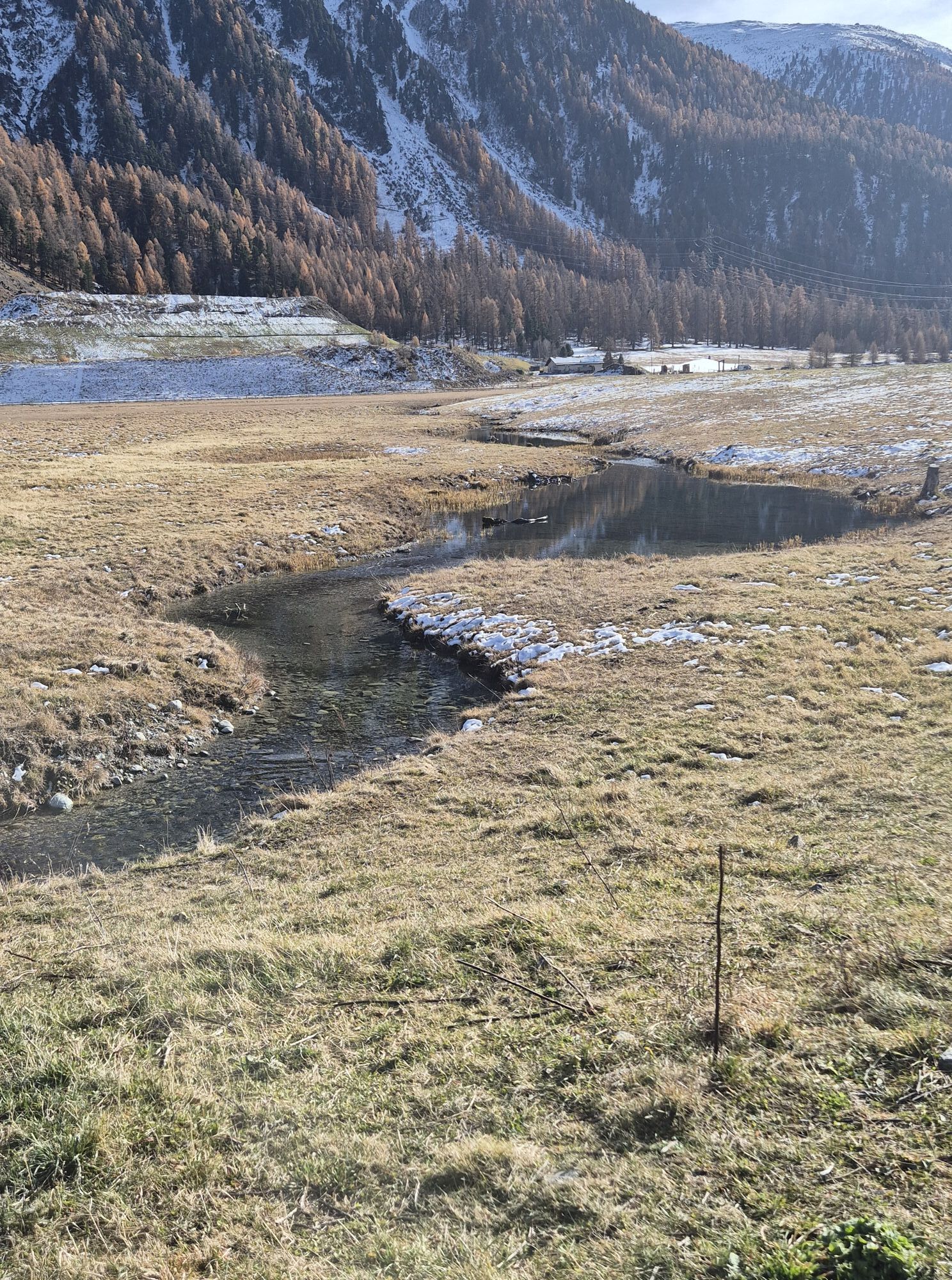
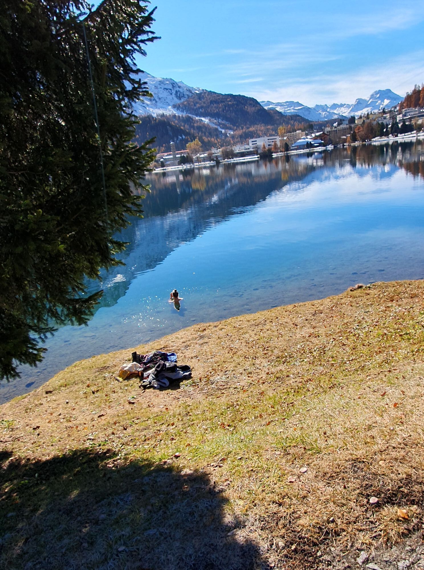
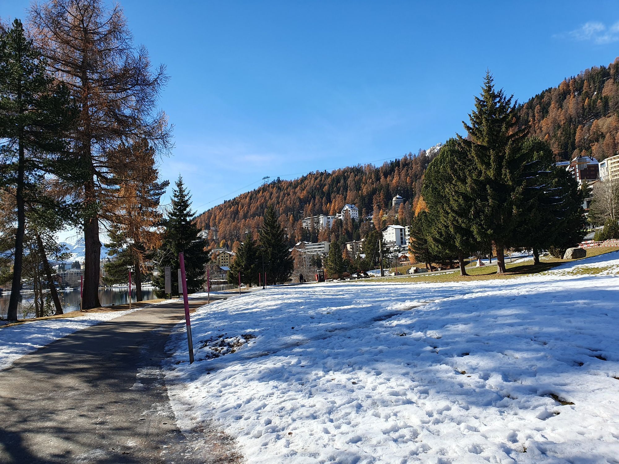
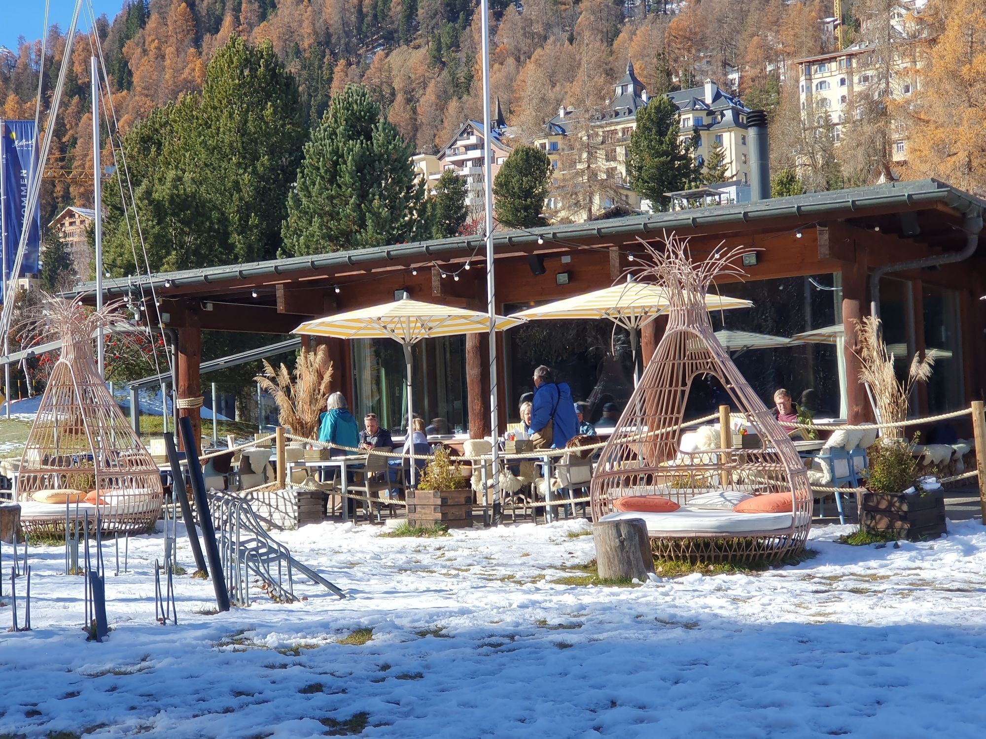
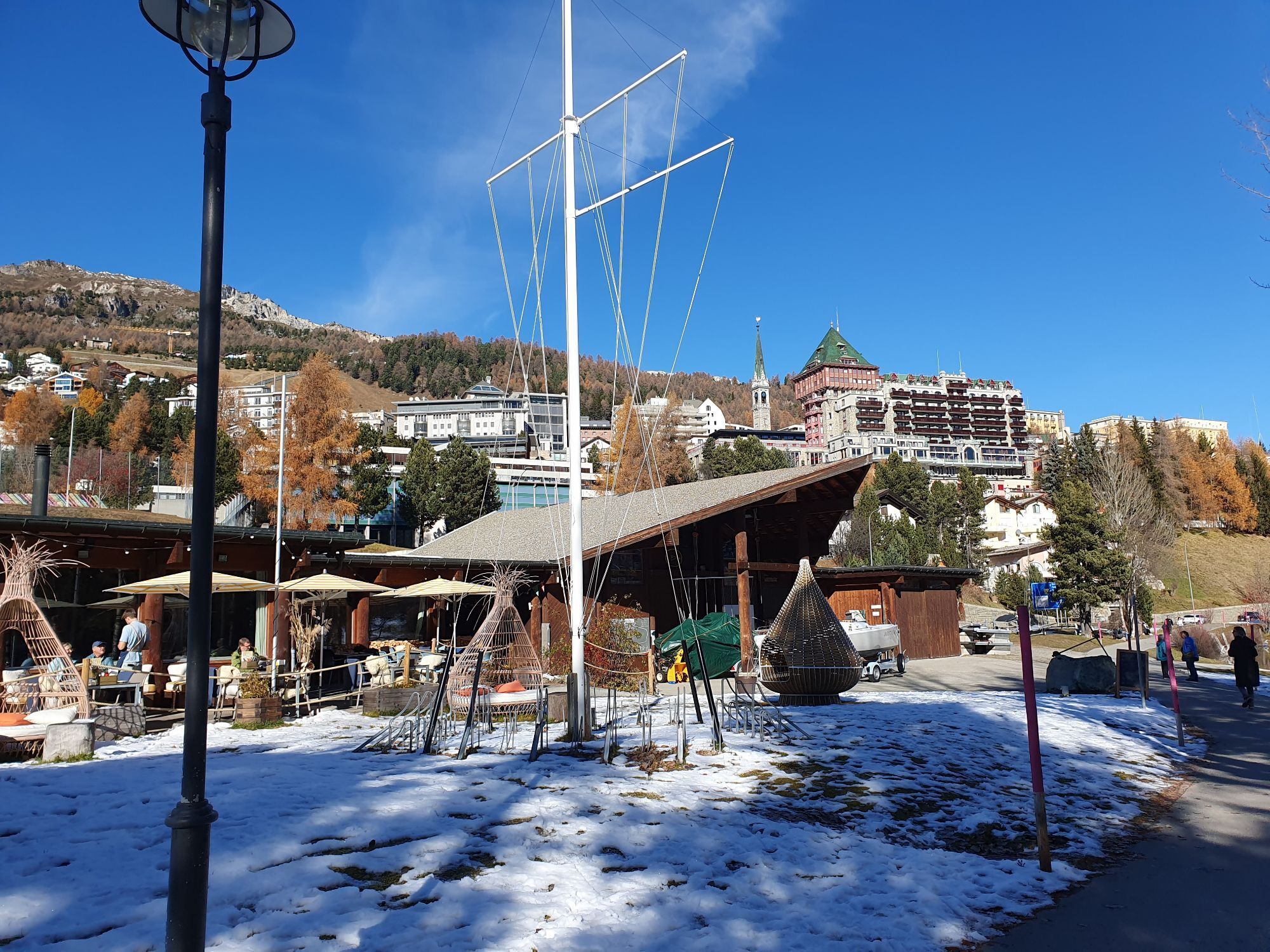
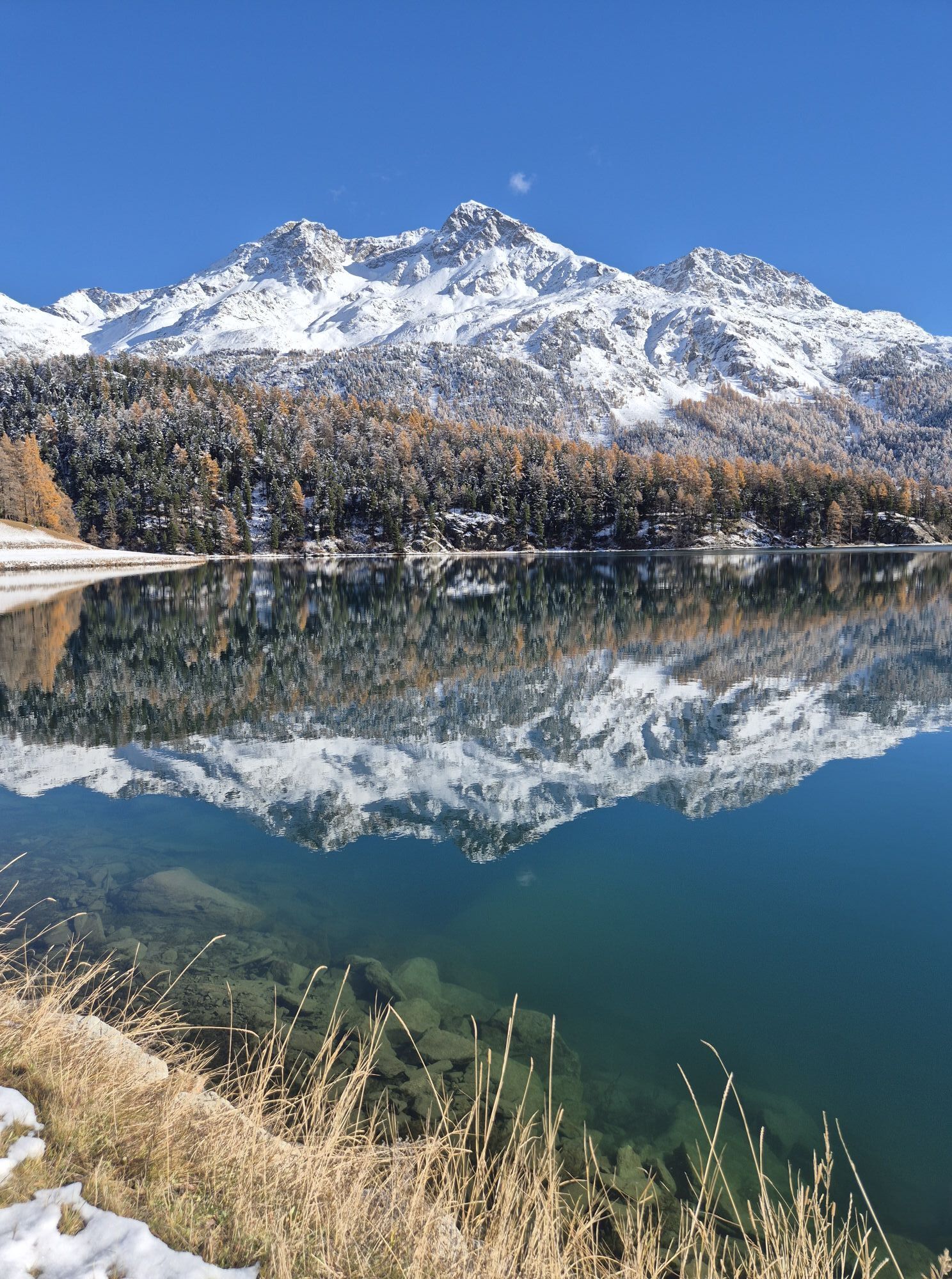
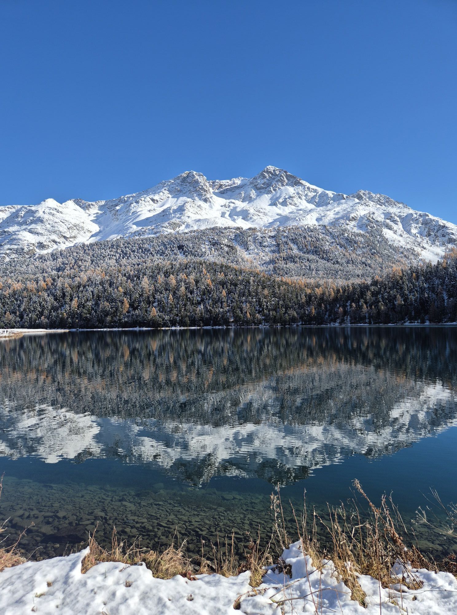
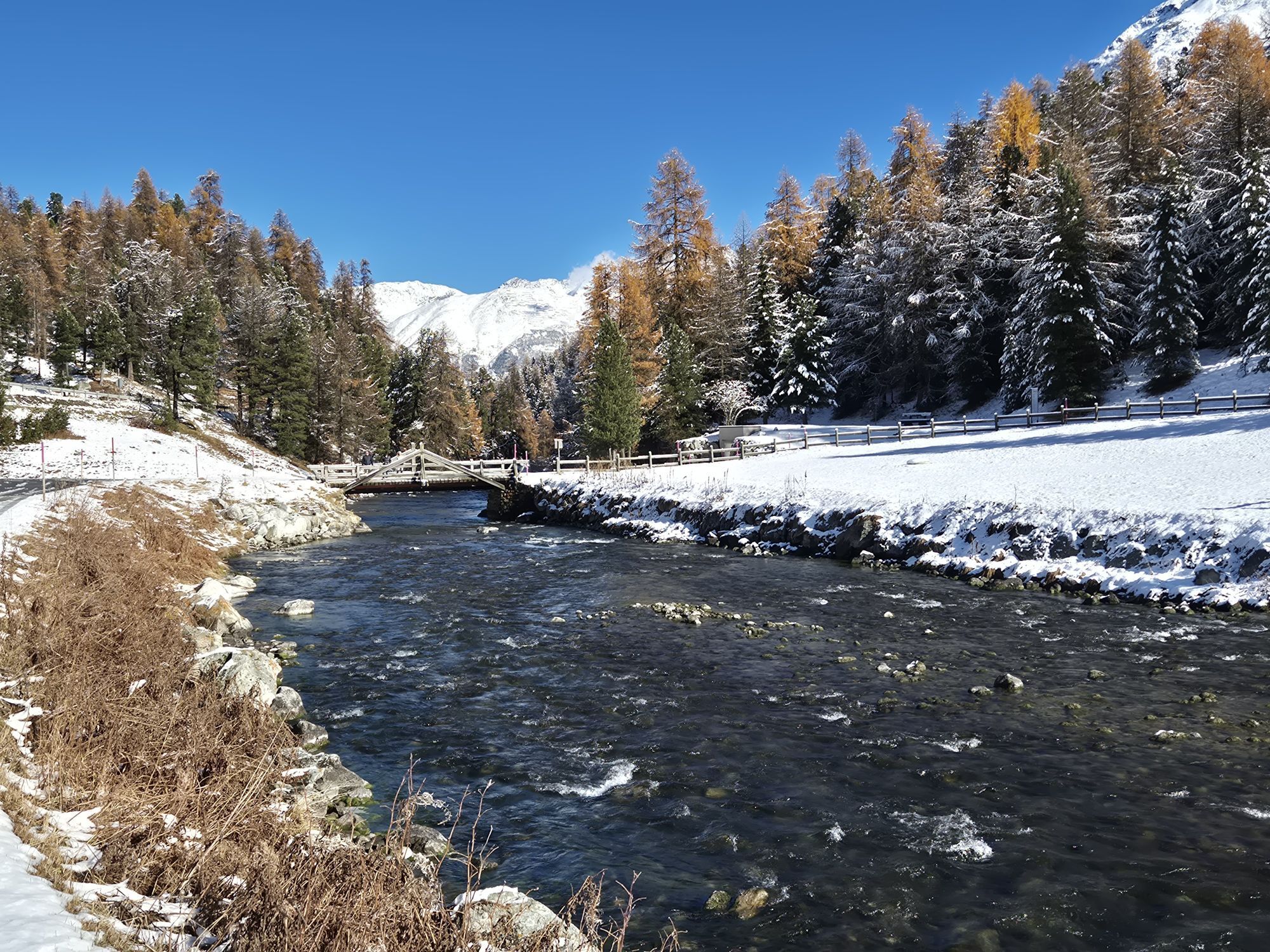
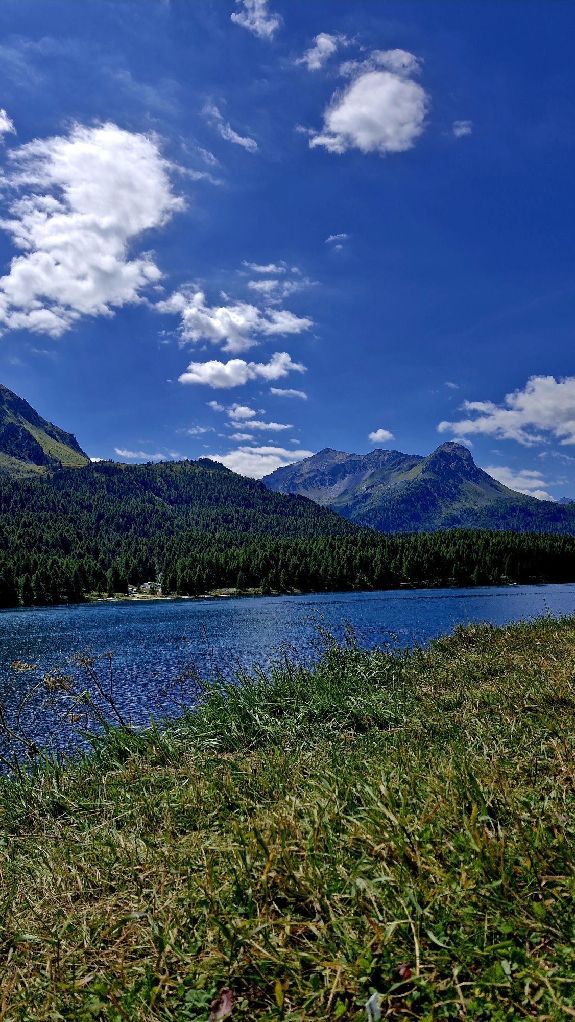

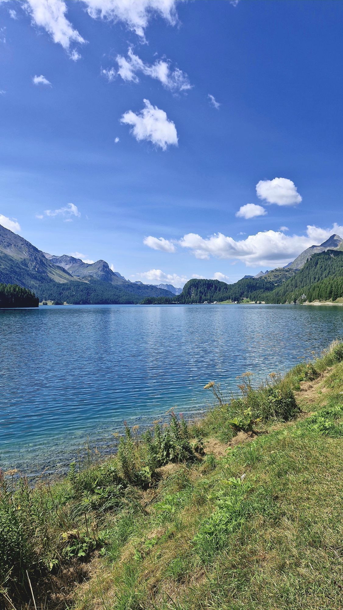
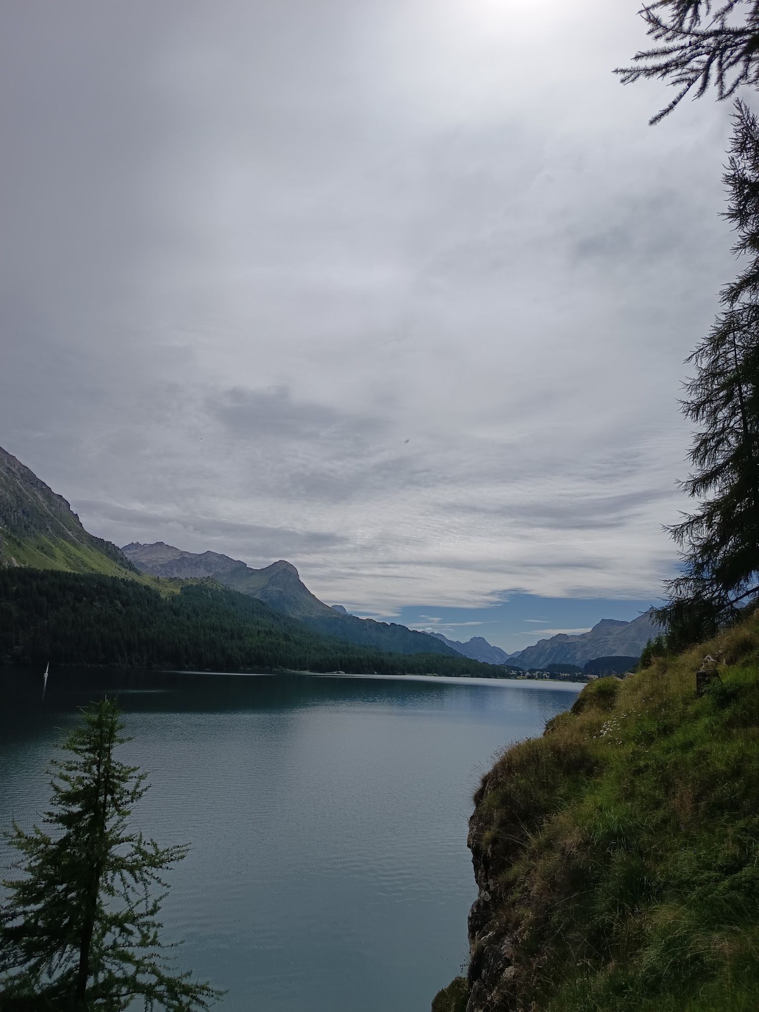
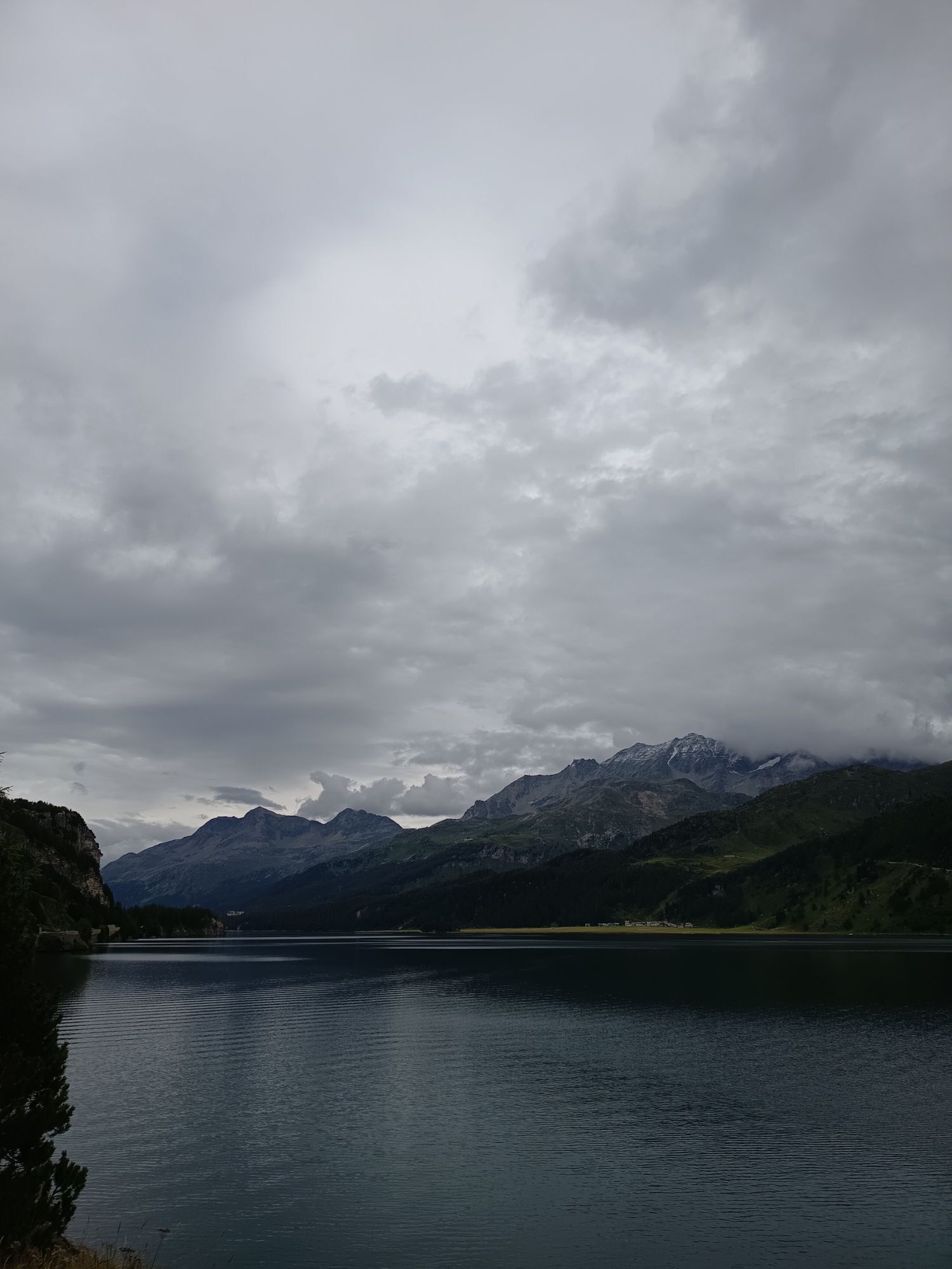
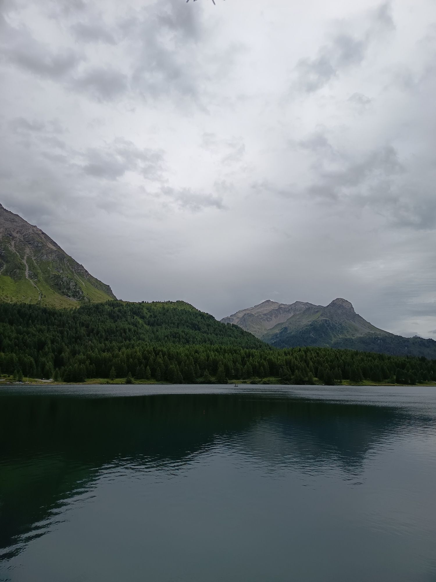
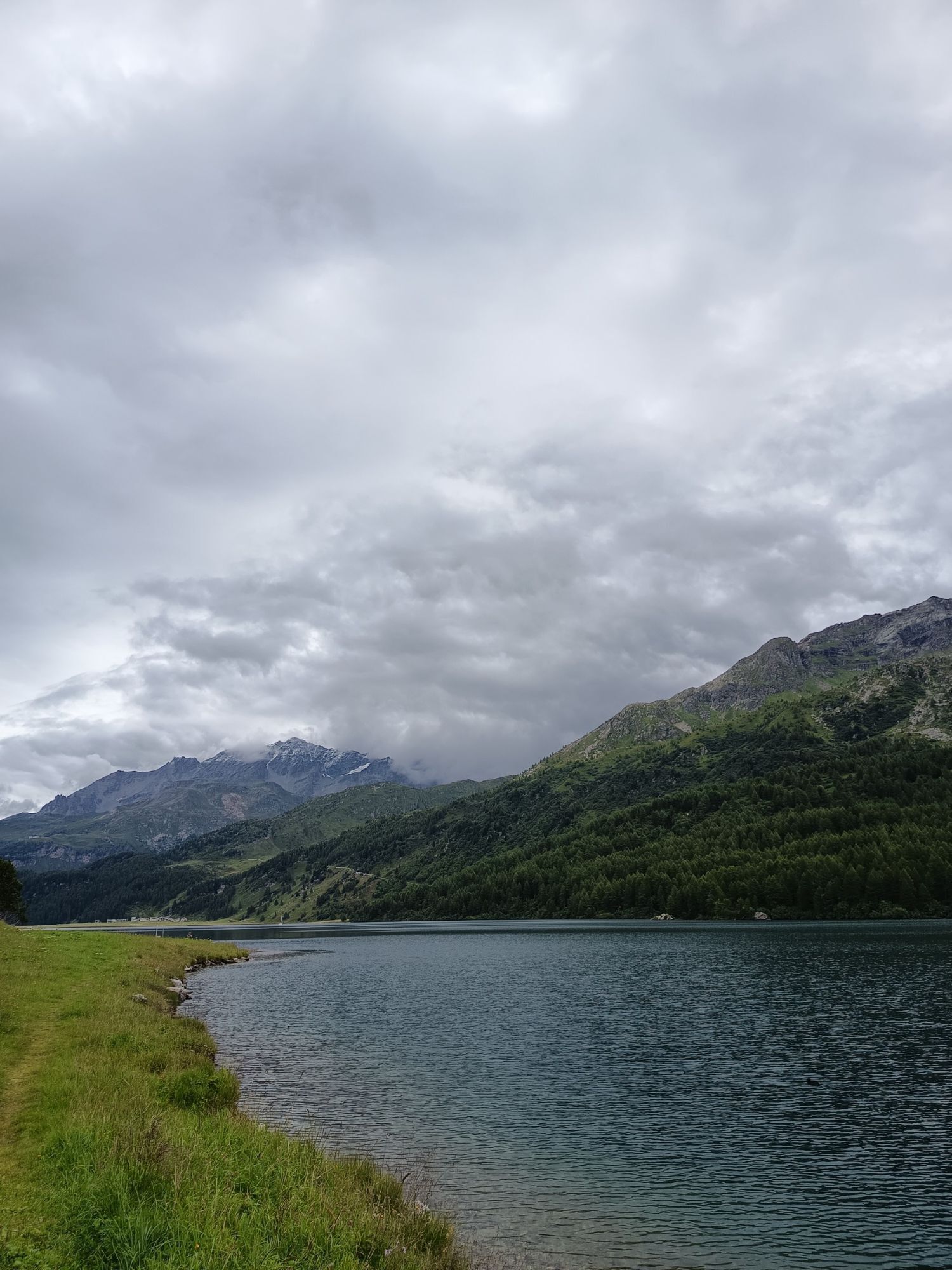
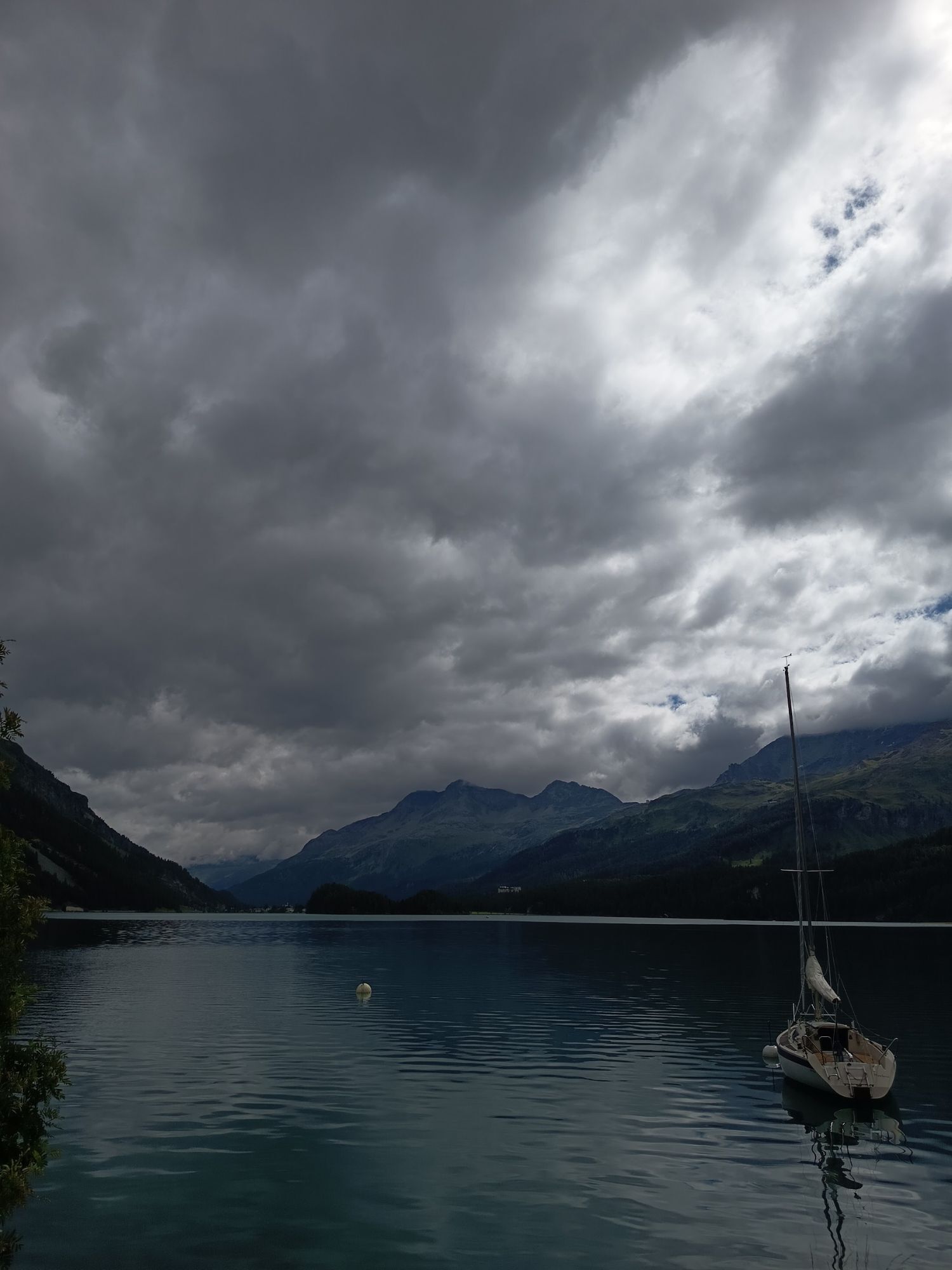
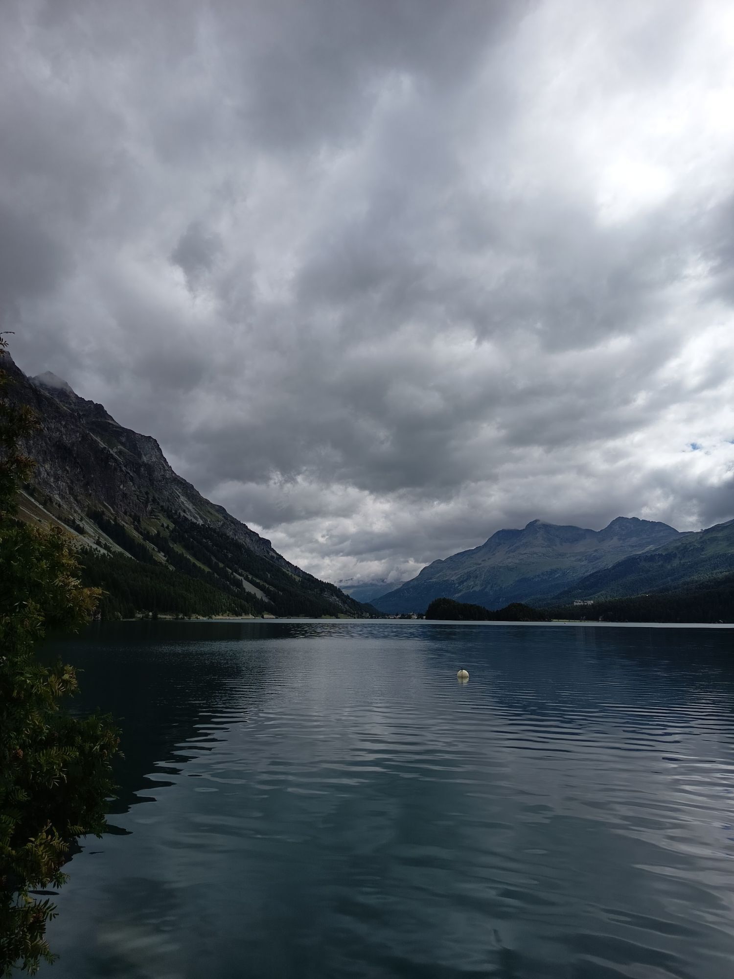
Near the pass village and holiday resort Maloja located at the western end of Lake Sils, the Inn begins its long journey as a rushing mountain stream. Not far from its source lies the European Watershed...
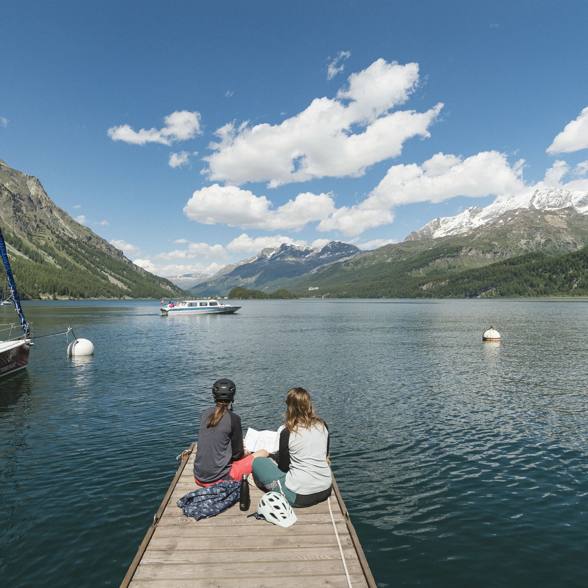
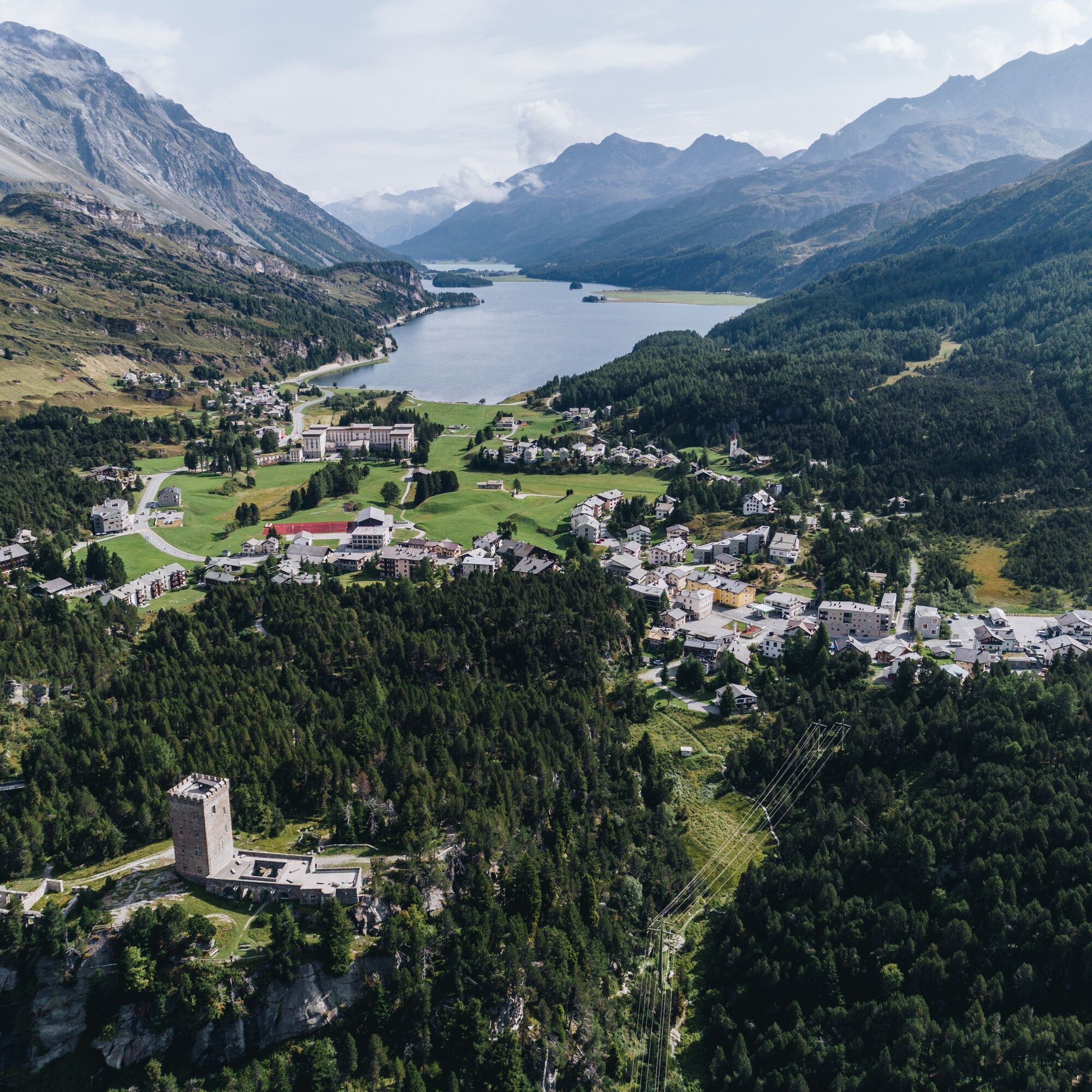
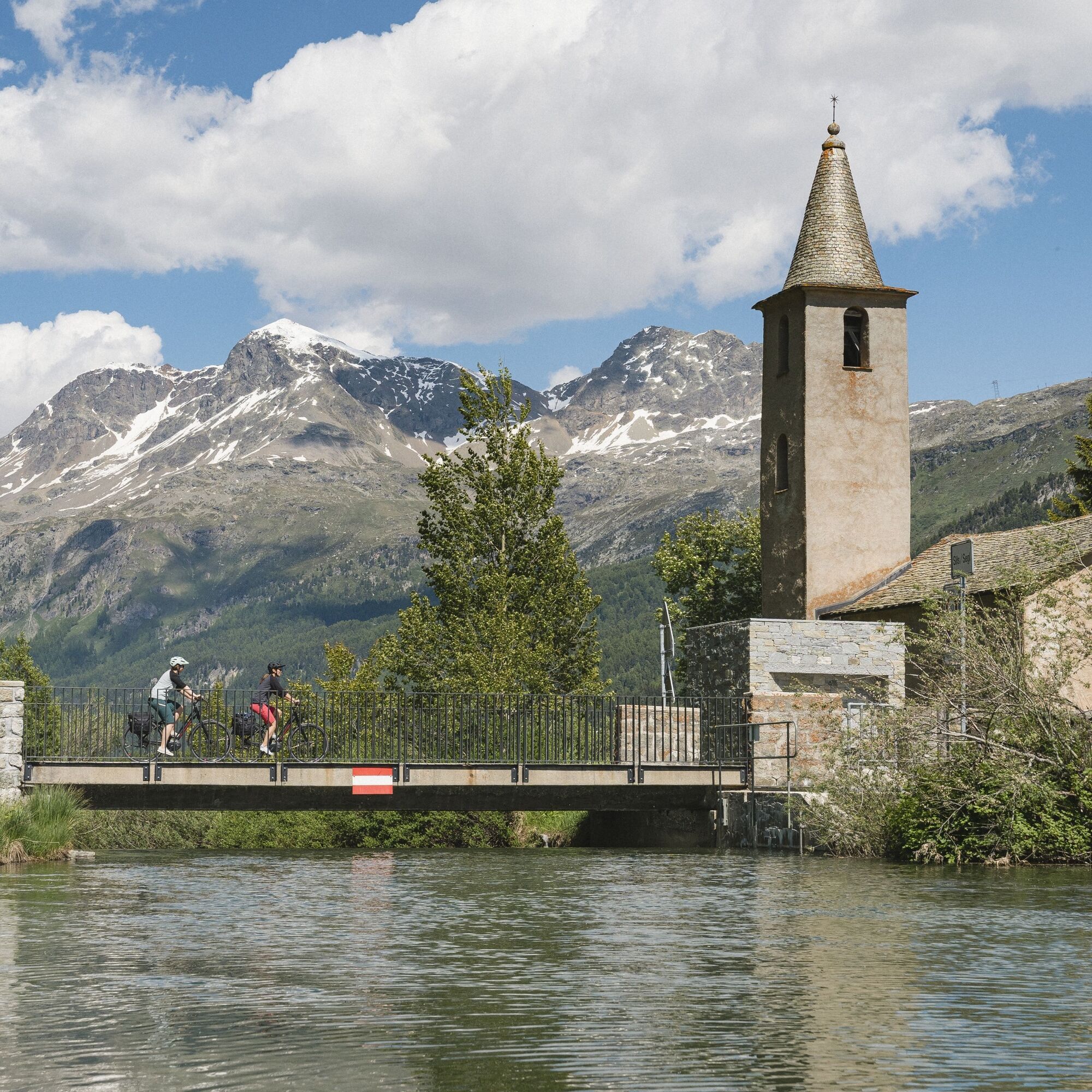
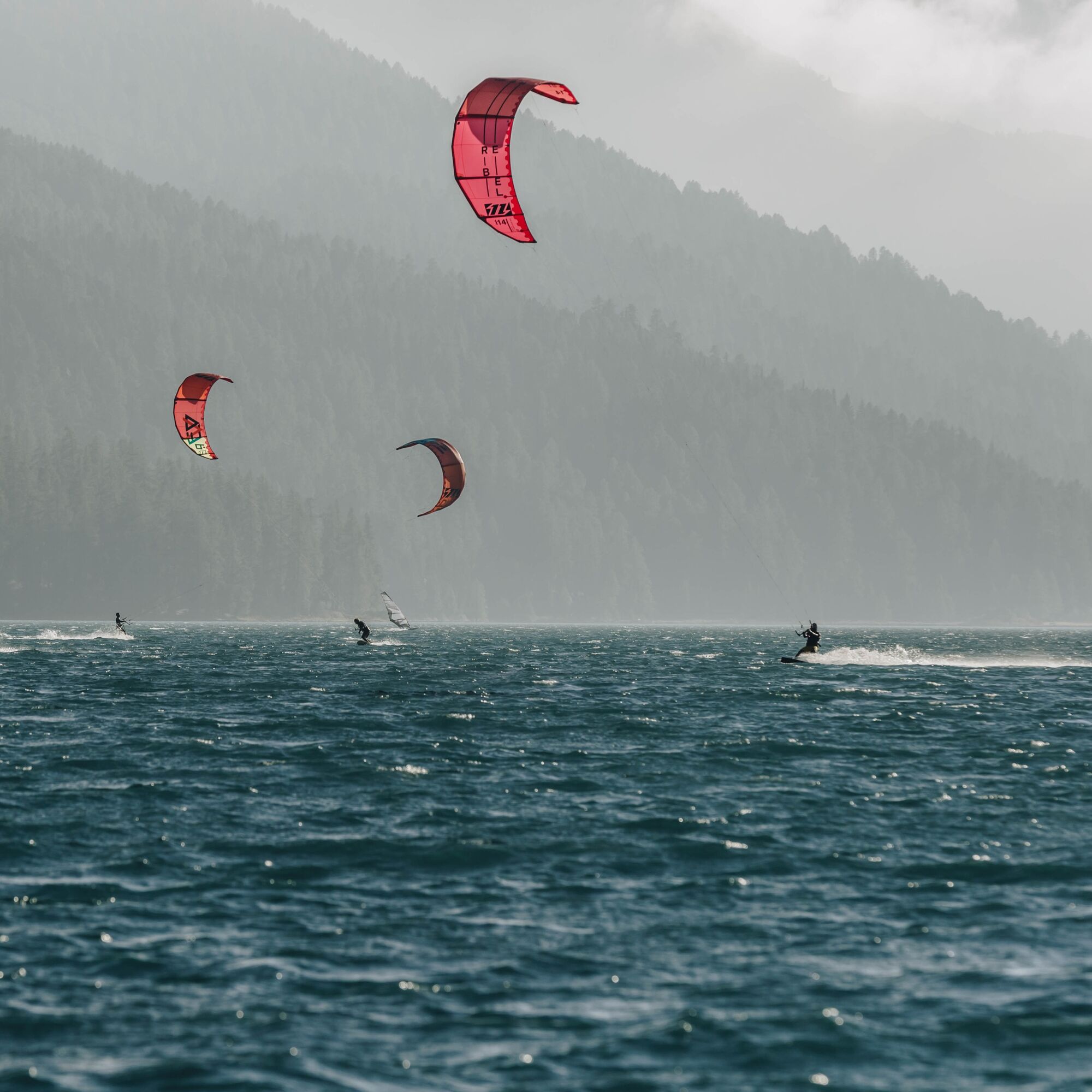
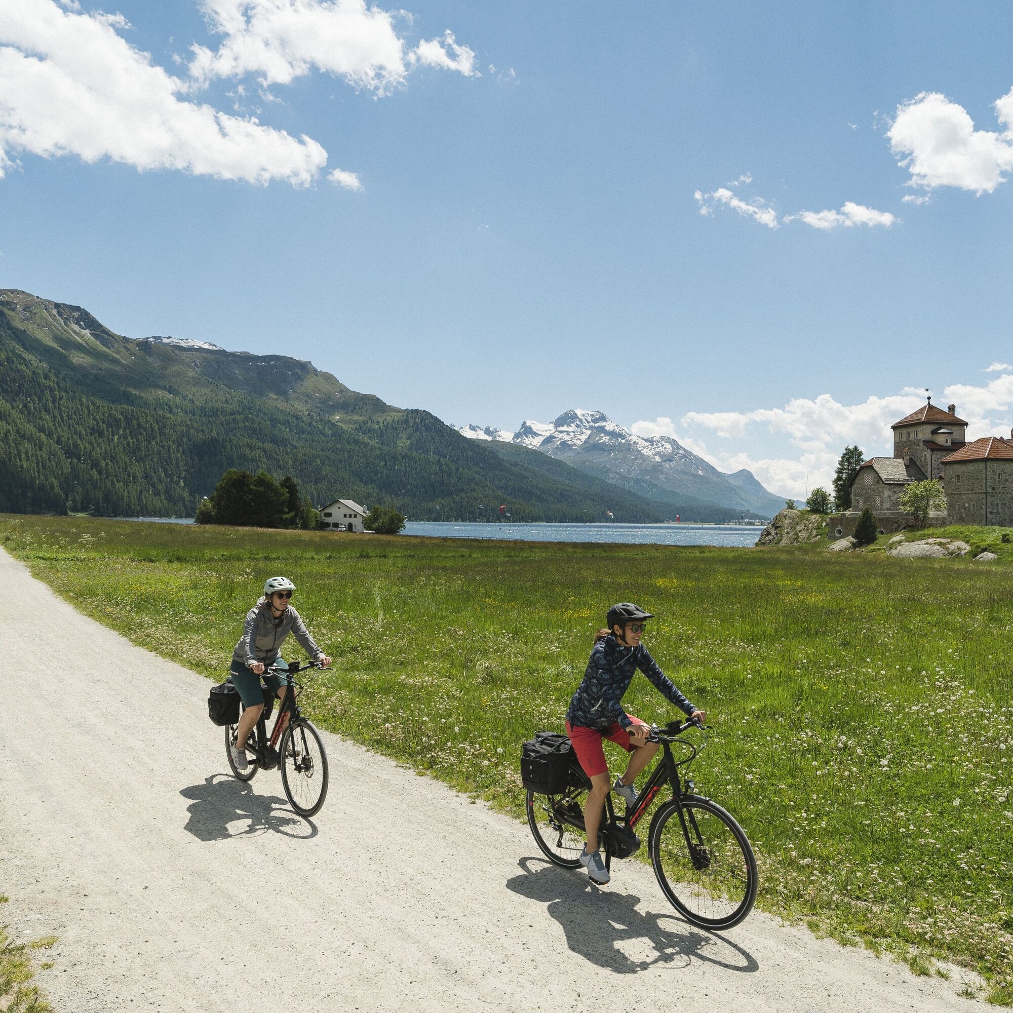
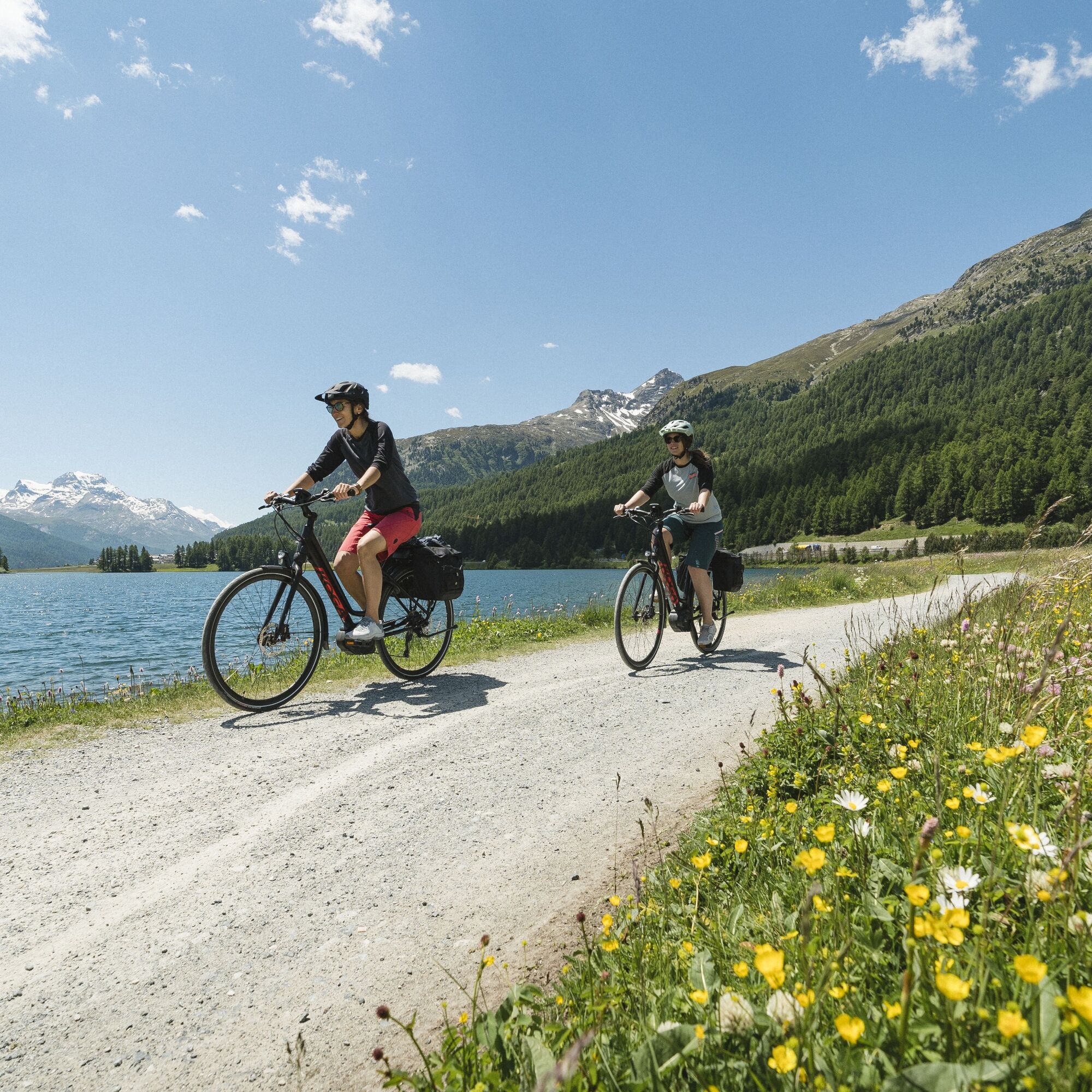
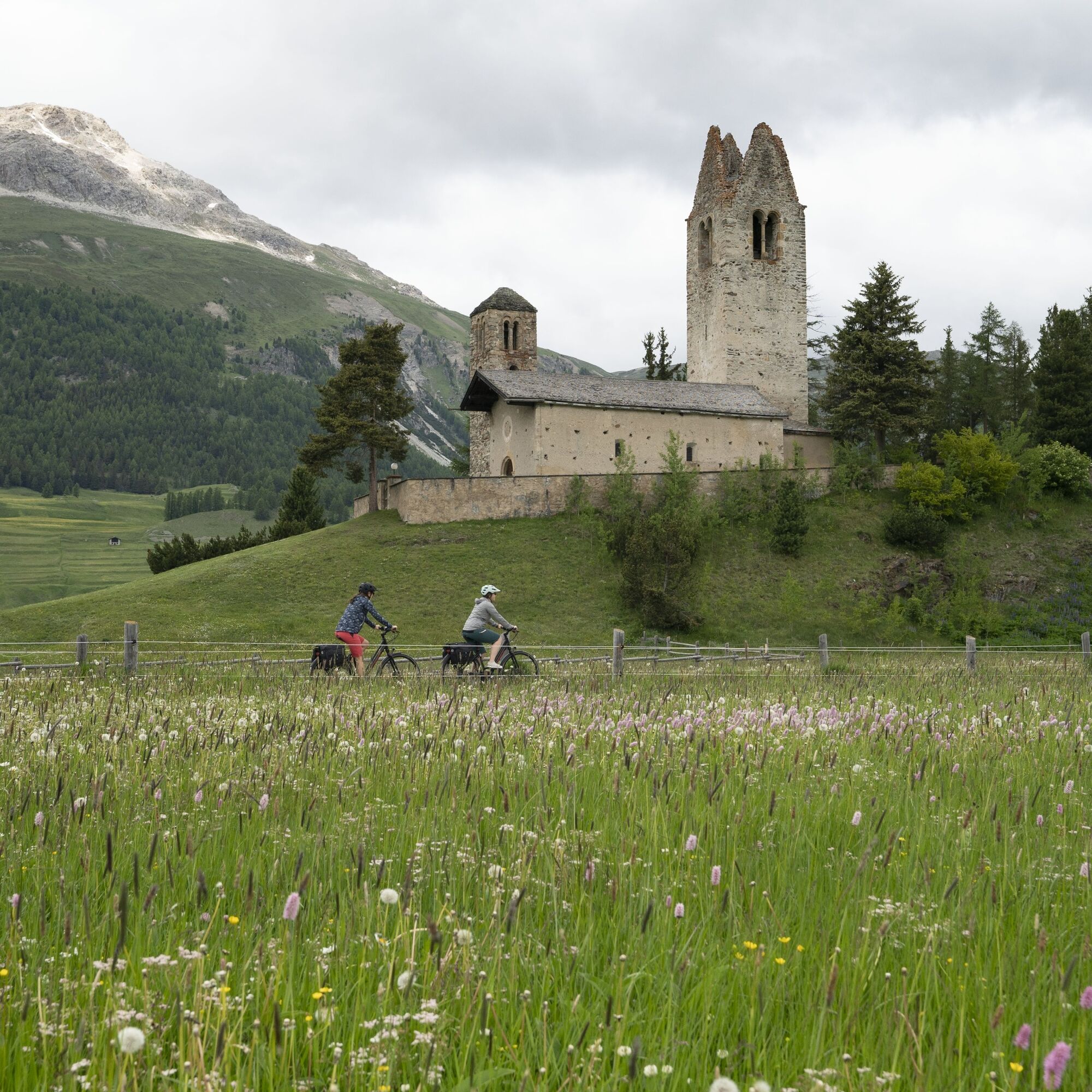
Near the pass village and holiday resort Maloja located at the western end of Lake Sils, the Inn begins its long journey as a rushing mountain stream. Not far from its source lies the European Watershed at Piz Lunghin. Maloja is the starting point of the Inn cycle path. Initially, the cycle path runs along the Upper Engadin main road along the crystal-clear and unique Lake Sils to Sils and further on a natural road along the right bank of the impressive Lake Silvaplana to Silvaplana. In good wind conditions, many colorful kite surfers, surfers, and sailors gather on this lake. A sporting spectacle of the highest order. Maloja, Sils, and Silvaplana are popular and traditional summer and winter holiday resorts on the Upper Engadin lake plateau. The tourist center of the Upper Engadin is St. Moritz, world-famous as a spa and winter sports resort. In 1928 and 1948, St. Moritz was the host of the Winter Olympics. The cycle path from St. Moritz to Celerina passes by Lej da San Murezzan and the idyllic small Lej da Staz. Not to be missed is the distinctive church San Gian, located on a hill, whose oldest part dates back to the 13th century. The route continues over Punt Muragl and past the airfield to the idyllic Lej da Gravatscha and from the holiday resort Bever to the proud mountain village La Punt Chamues-ch at the foot of the Albula Pass.
Further information
Engadin St. Moritz Tourism AG
Via Maistra 1
CH-7500 St. Moritz
Phone: +41 81 830 00 01
Email: allegra@engadin.ch
Internet: www.engadin.ch

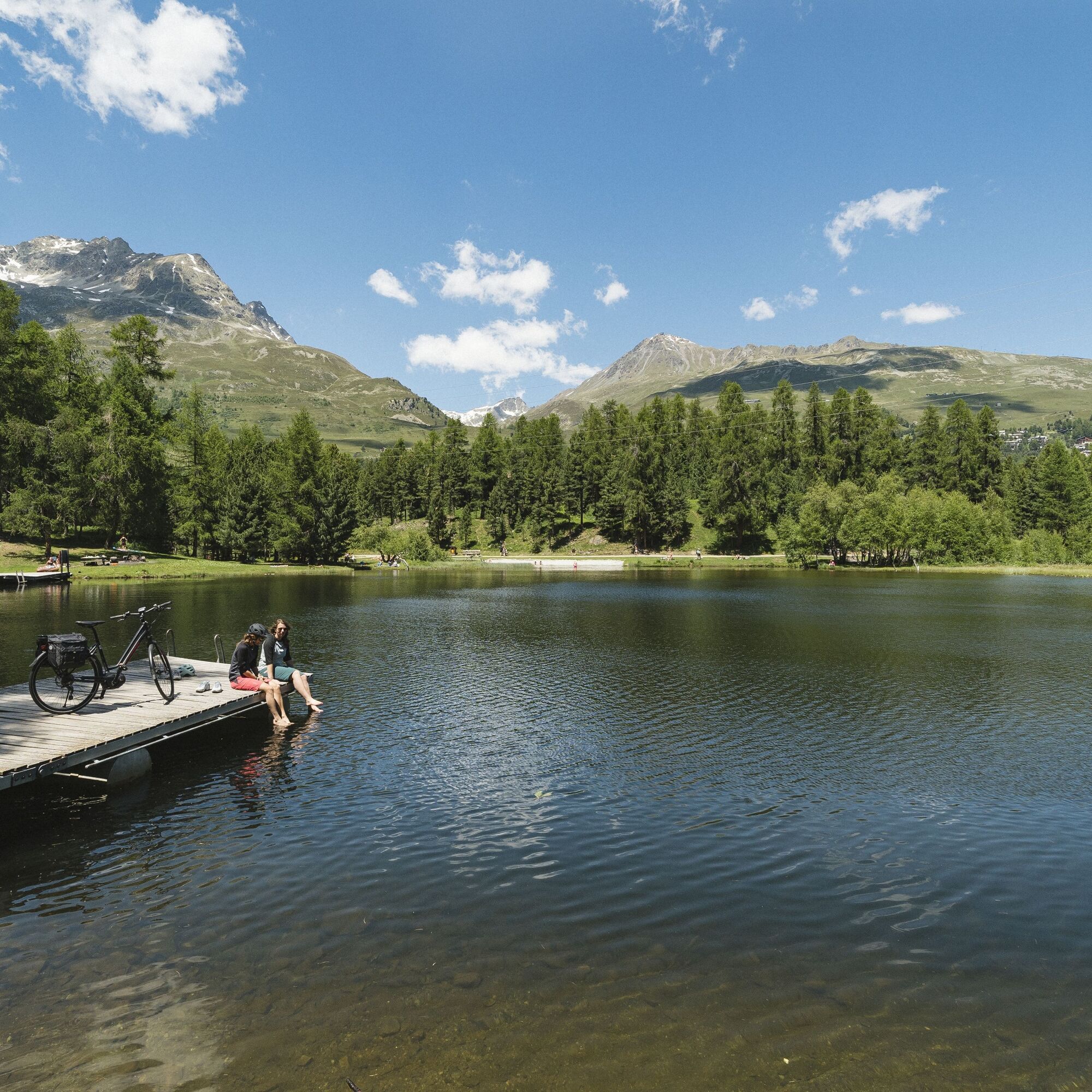
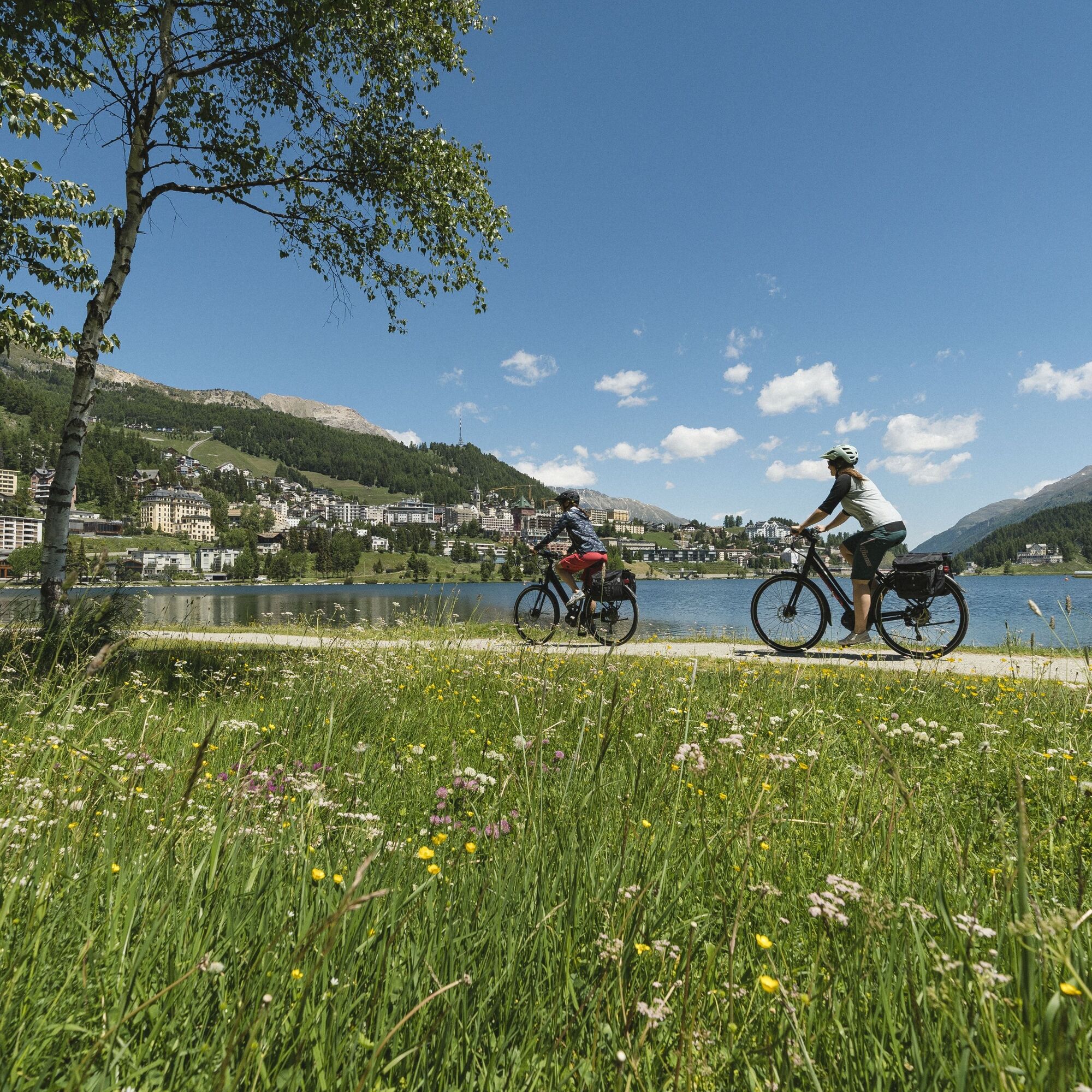
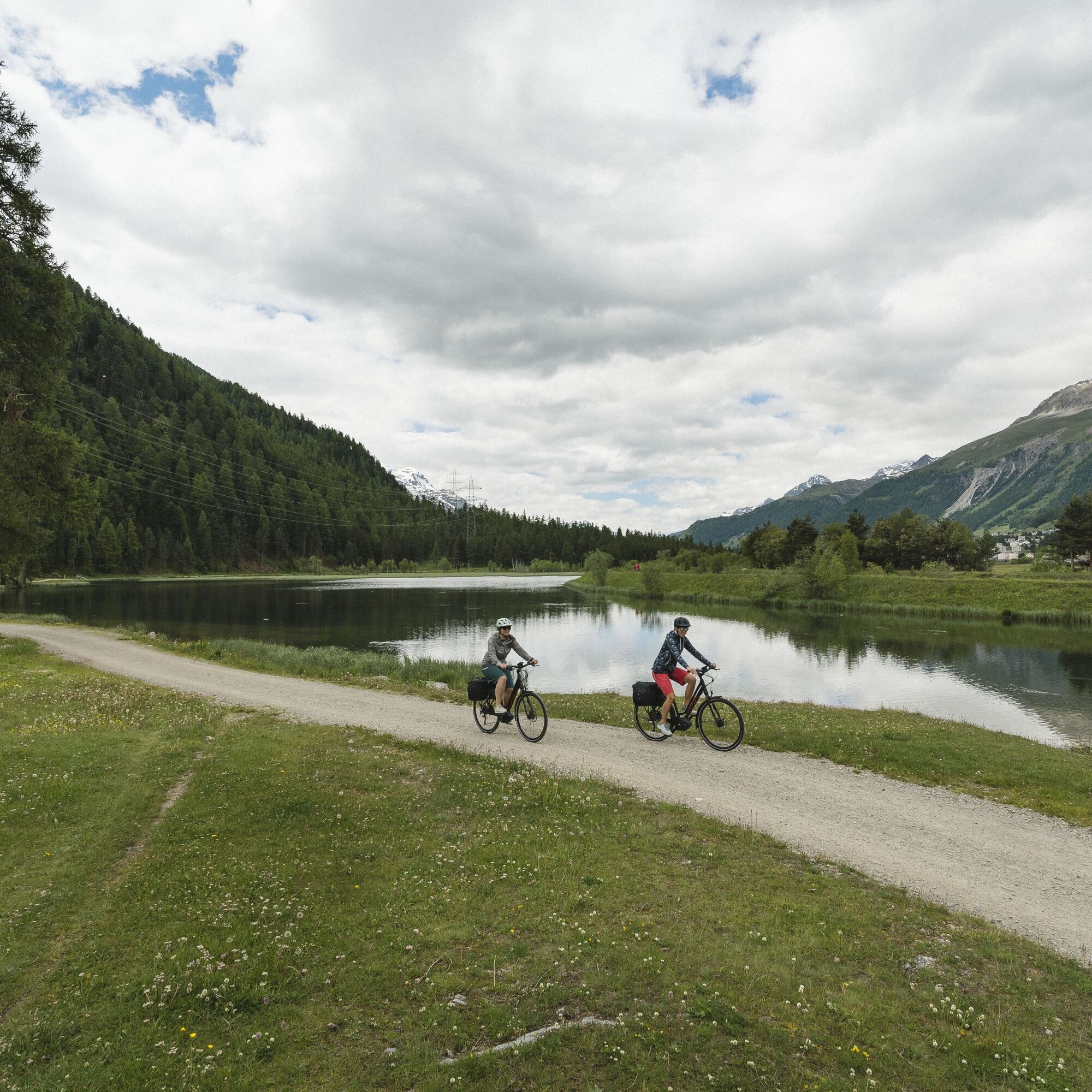
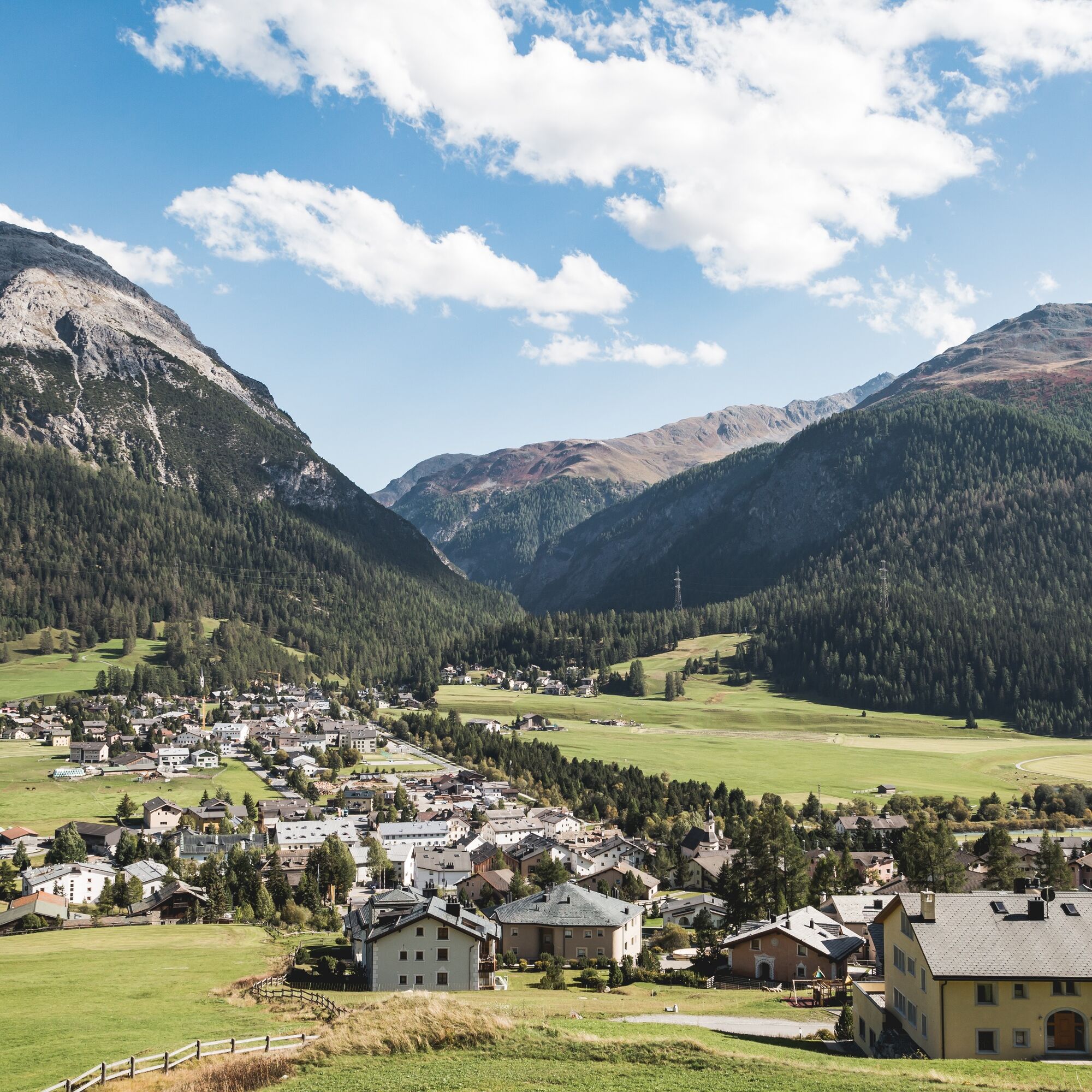
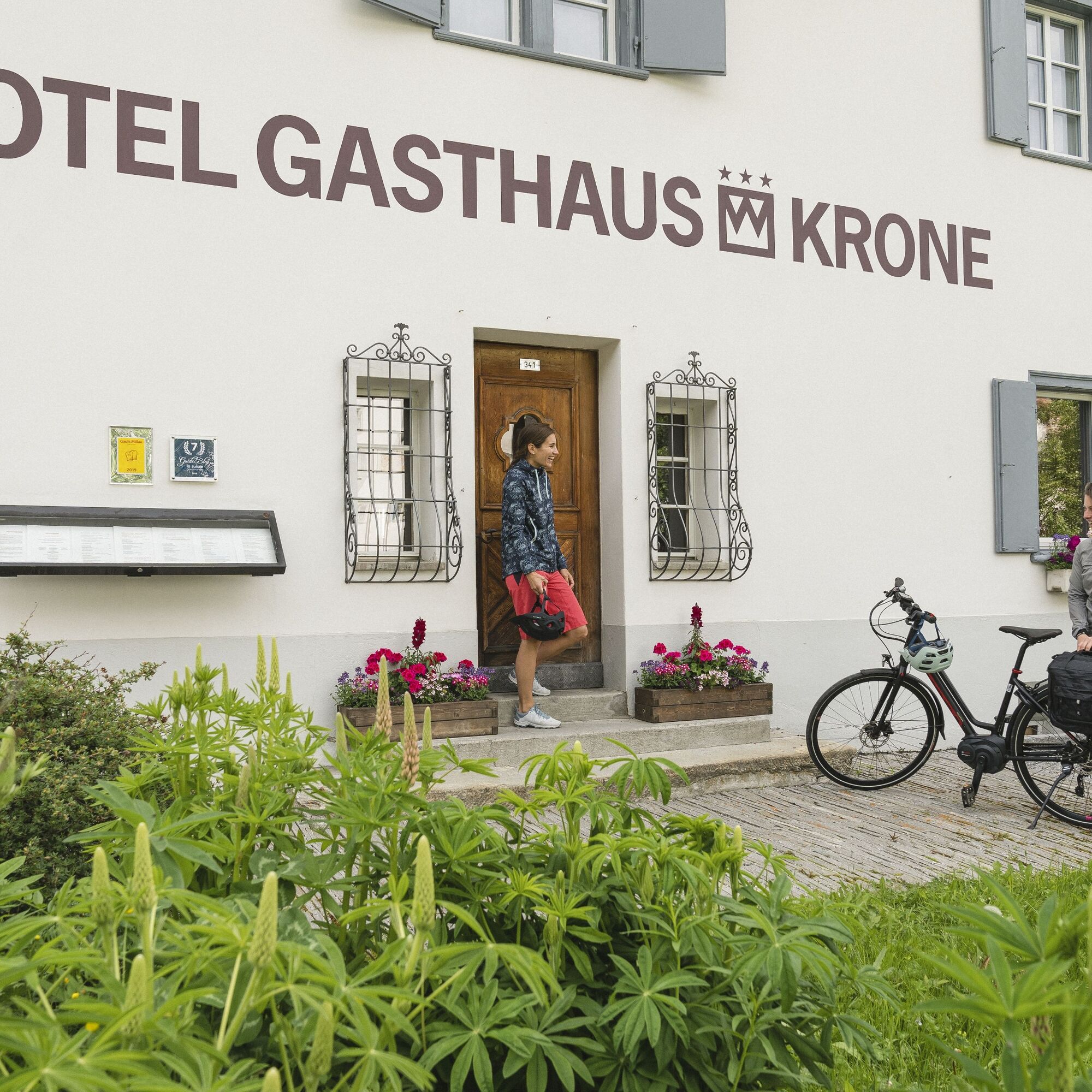

Maloja - Sils - Silvaplana - St. Moritz - Celerina - Samedan - Bever - La Punt
The first section from Maloja to Sils officially runs on the partly heavily trafficked cantonal road. As an alternative, the demanding mountain bike trail via Isola on the other side of the valley can be used or you can start the stage only in Sils.
Maloja or Sils in Engadin
By the Rhaetian Railway to St. Moritz and from there by PostBus or Engadin Bus to Maloja or Sils in Engadin
Parking lots in Maloja and Sils in Engadin
3
The ascent after the St. Moritz lake to the Hotel Waldhaus am See is quite steep. Those who want to avoid this can go straight after the Ovaverva indoor pool to the St. Moritz youth hostel and then up into the forest and on the natural road to Lej da Staz.
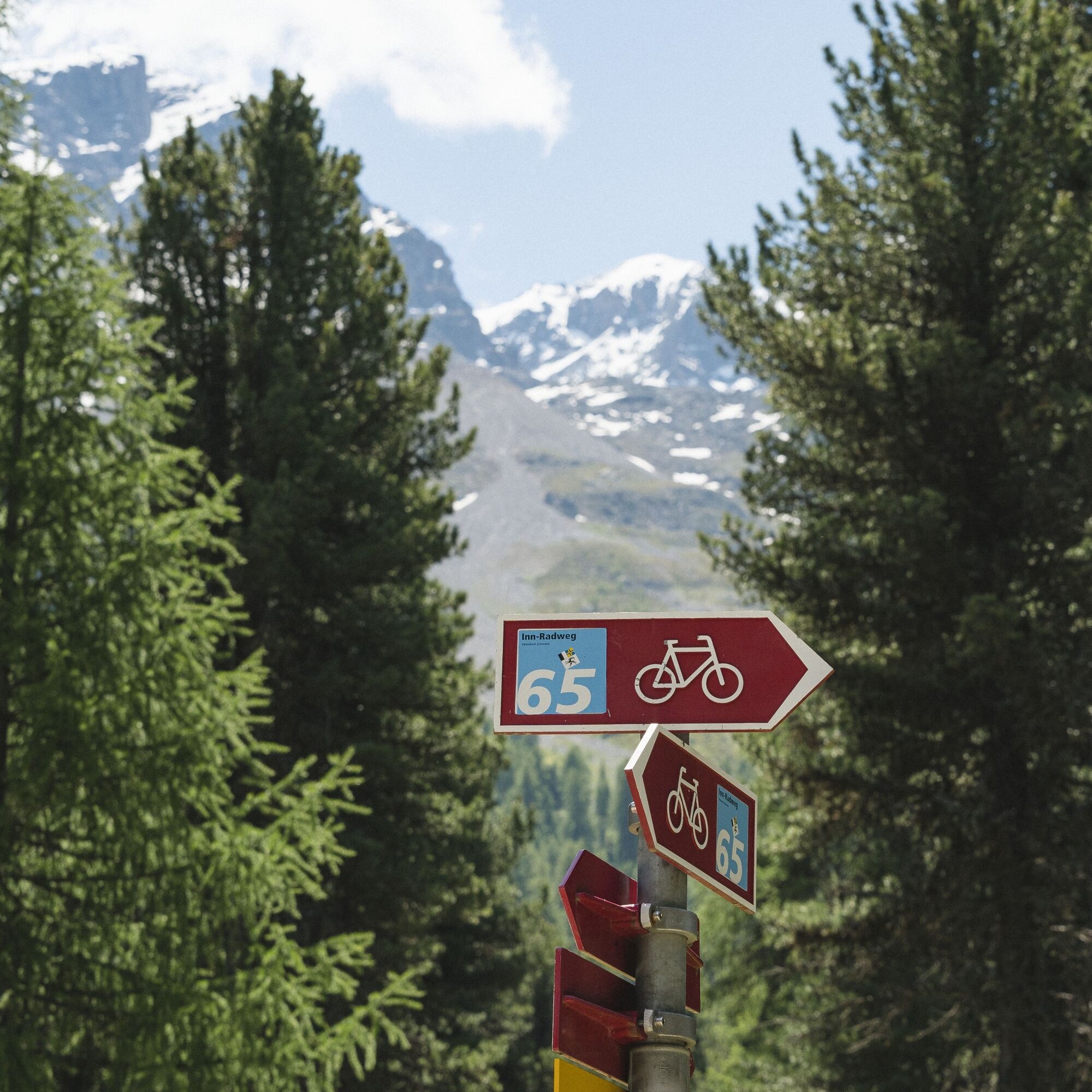
The Inn cycle route is marked with number 65 by Veloland Switzerland.
Heavily frequented during the high season.
Kamery internetowe z trasy
-
Corviglia
-
St. Moritz / Samedan - Muottas Muragl
-
Corvatsch
-
Marguns - Plateau Nair
-
Silvaplana - Restaurant Mulets
-
Samedo - Engadin Golf
-
St. Moritz / Samedan - Muottas Muragl
-
St. Moritz / Samedan - Muottas Muragl
-
St. Moritz / Samedan - Muottas Muragl
-
St. Moritz / Samedan - Muottas Muragl
-
Corviglia
-
Corviglia
-
Corviglia
-
Corviglia
-
Corviglia
-
Corviglia
-
Sils - Hotel Waldhaus
-
Corviglia
-
Silvaplana - Mittelstation Murtèl
-
Silvaplana - Mittelstation Murtèl
-
Silvaplana - Mittelstation Murtèl
-
Silvaplana - Mittelstation Murtèl
-
Silvaplana - Mittelstation Murtèl
-
Corvatsch
-
Corvatsch
-
Corvatsch
-
Corvatsch
-
Corvatsch
-
Corvatsch
-
Celerina - Cresta Palace
-
Piz Nair - St. Moritz
-
Zuoz
-
Celerina - Skiwiese Provuler
-
St. Moritz / Trais Fluors Bergstation
-
La Punt - Wasserreservoir
-
La Punt - Wasserreservoir
-
La Punt - Wasserreservoir
-
La Punt - Wasserreservoir
-
St. Moritz - Berghotel Randolins
-
Samedan - Engadin Airport
Uzyskaj wgląd
Zawsze na żywo z ponad 9 500 kamer internetowych. bergfex Jako użytkownik Pro, możesz teraz zobaczyć odpowiednie kamery internetowe dla wielu wycieczek w aplikacji wycieczki od. Pozwala to na bezpośredni podgląd aktualnych warunków.
Popularne wycieczki w okolicy
-
5,0
Morteratsch station - Boval Hut
średniWędrówka 10,5 km -
4,7
Diavolezza - Munt Pers
światłoWędrówka 3,82 km -
4,7
Panoramic route Muottas Muragl
światłoWędrówka 6,75 km -
5,0
Muottas Muragl - Segantini hut - Pontresina
średniWędrówka 6,46 km -
4,9
Maloja - Motta Salacina - Lägh da Cavloc - Maloja
średniWędrówka 10,3 km -
4,5
Pontresina - Val Roseg - Pontresina
światłoWędrówka 13,8 km -
4,7
SAC Tschierva
światłoWędrówka 24,7 km -
4,8
Around Lake St. Moritz
światłoWędrówka 4,32 km -
4,7
Morteratsch Glacier route
światłoTrasa tematyczna 2,88 km -
Muottas Muragl - Segantini Hütte - Pontresina
średniWędrówka 17,5 km
Wędrówki i tropienie


Nie przegap ofert i inspiracji na następne wakacje
Twój adres e-mail została dodana do listy mailingowej.





