







Samedan-Chamues-ch-Val Chamuera-Samedan (E-Mountainbike)
Poziom trudności: 3
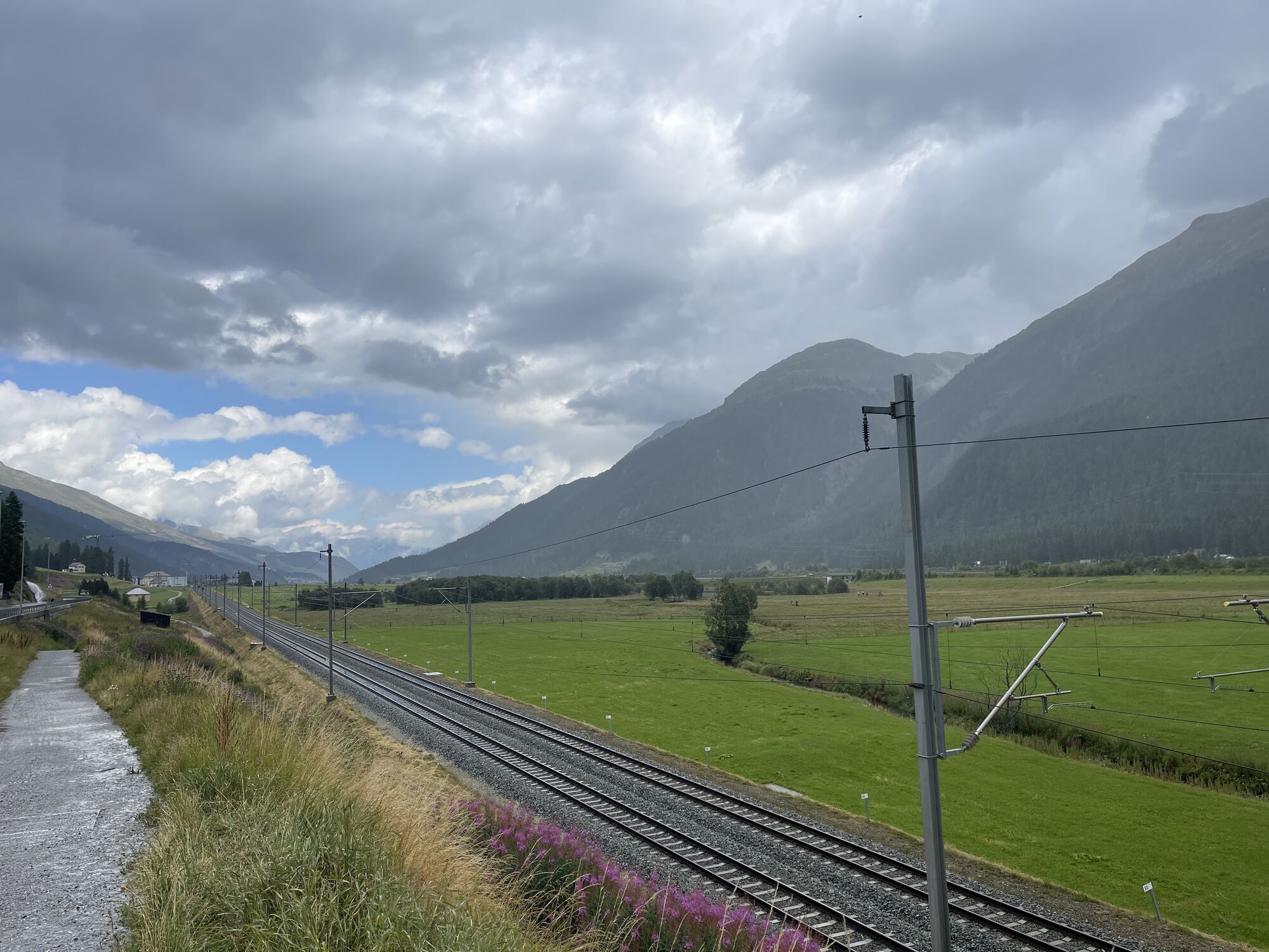
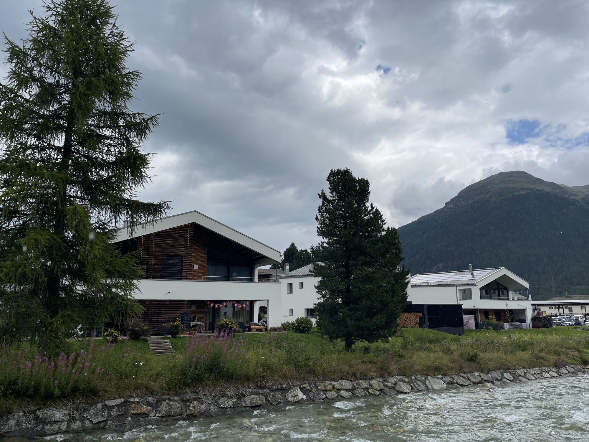
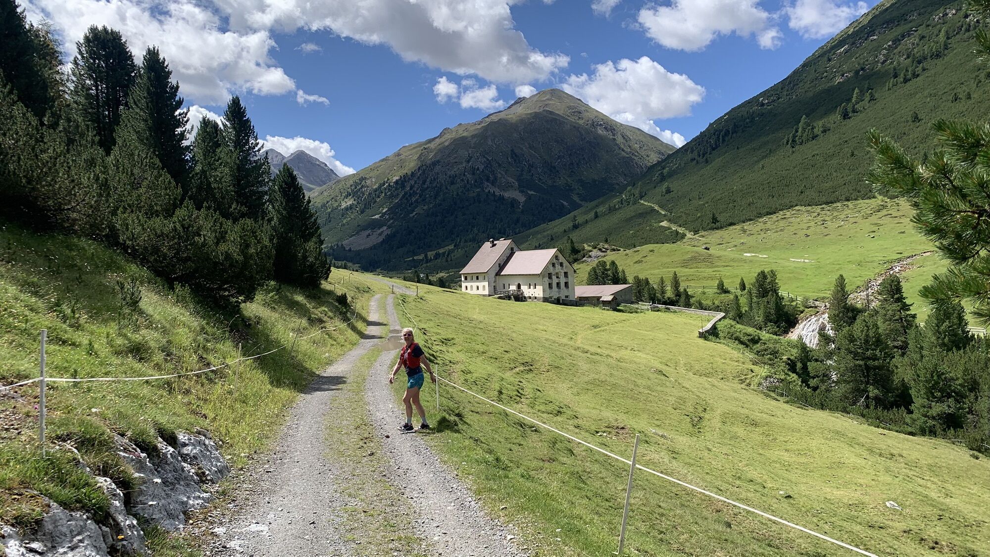
The starting point of this bike route is the Promulins Arena in Samedan. Crossing over the main road, you reach Lej Gravatscha, an idyllic mountain lake with barbecue areas. At the end of the lake, in...
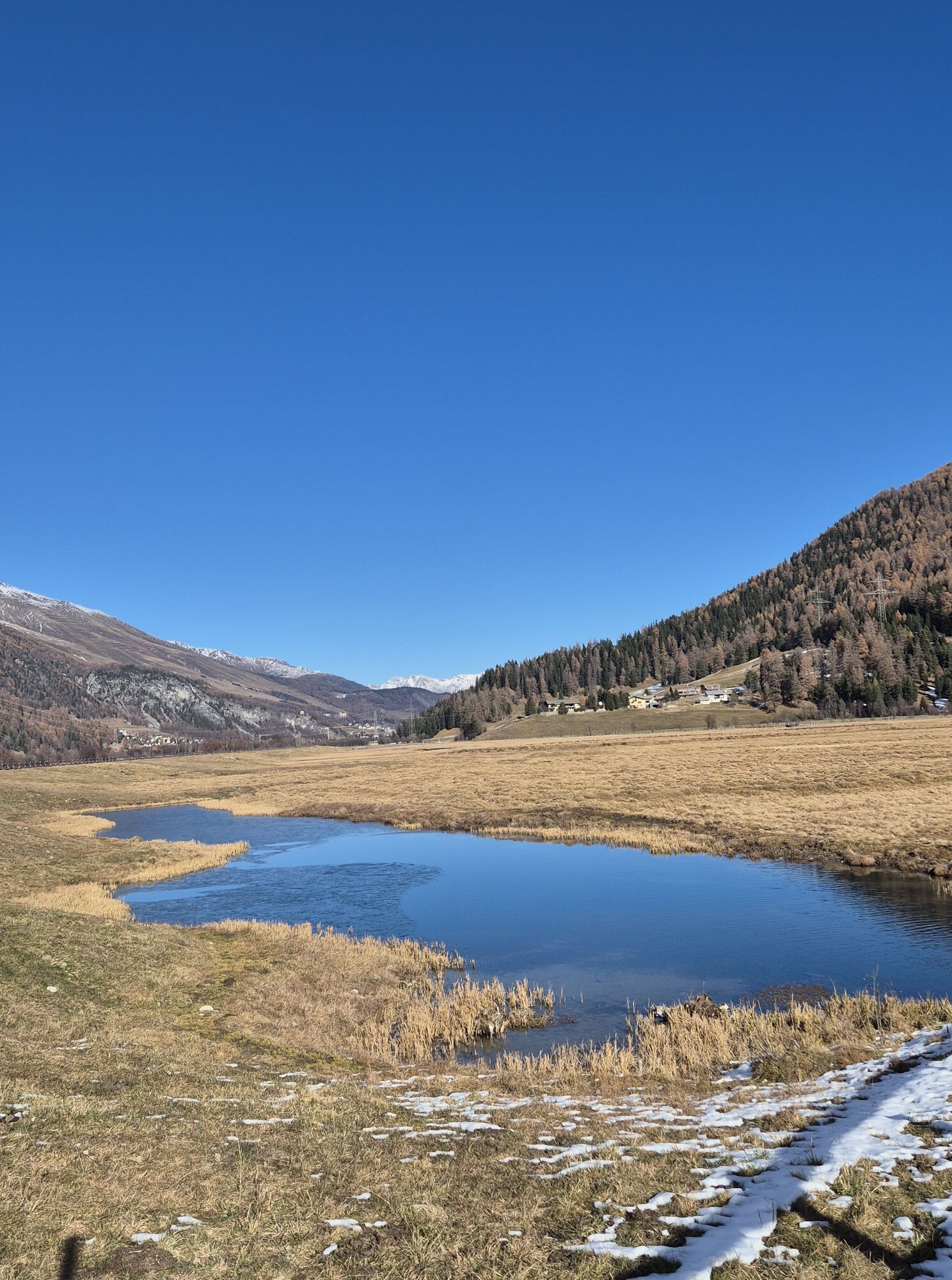
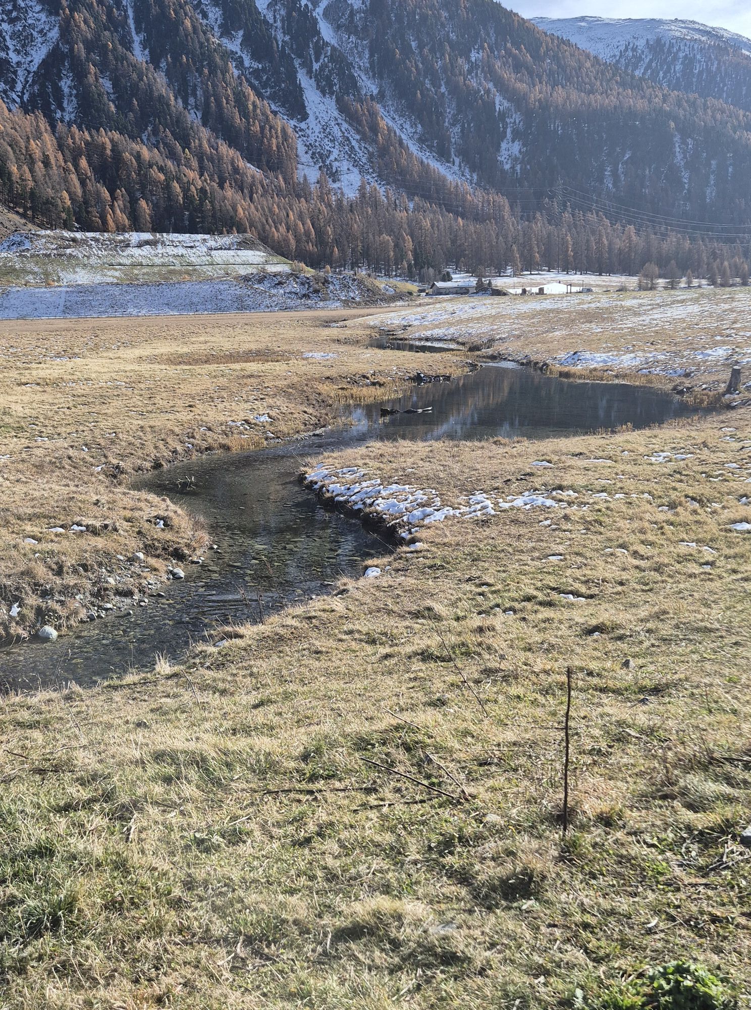
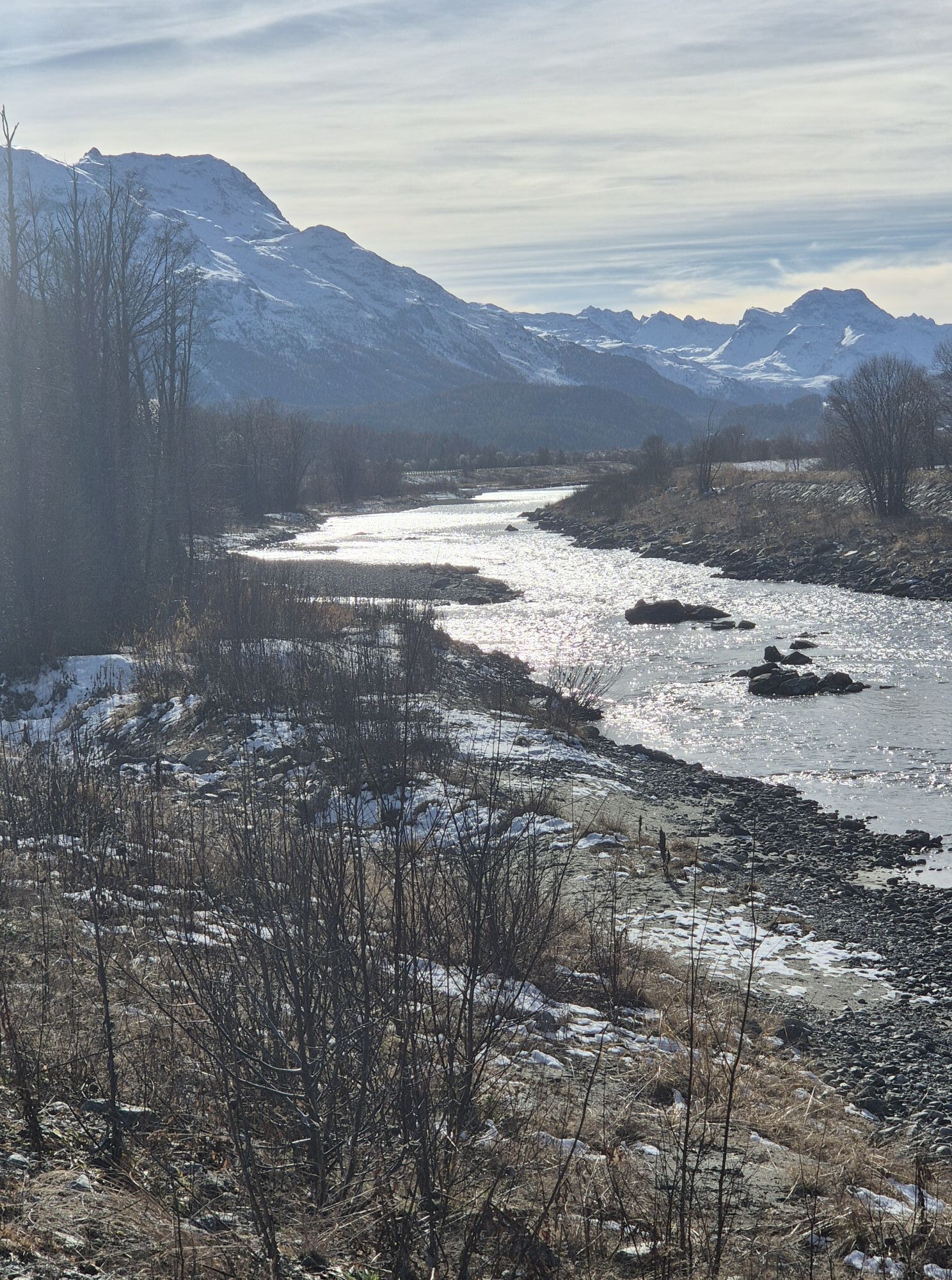
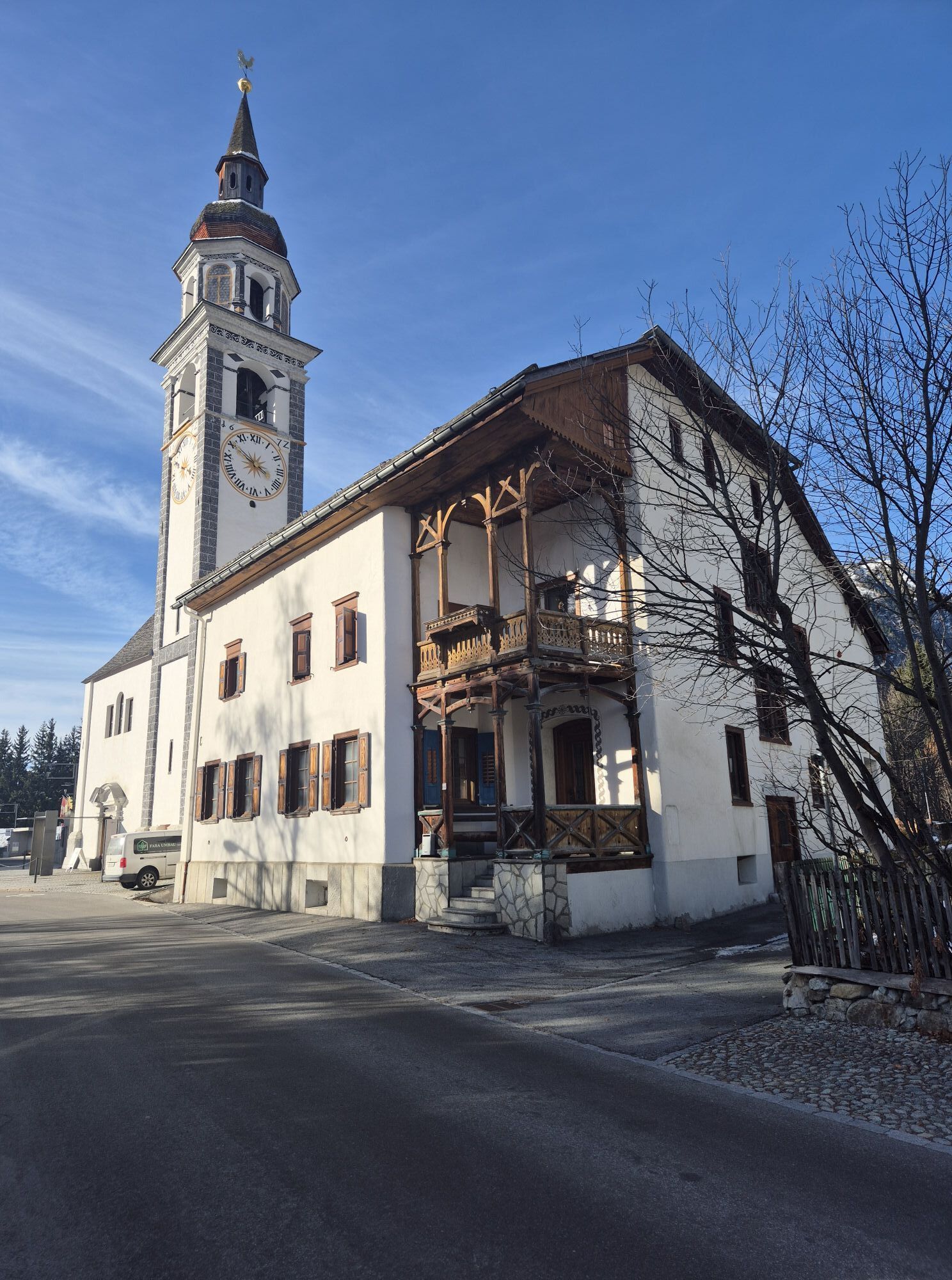
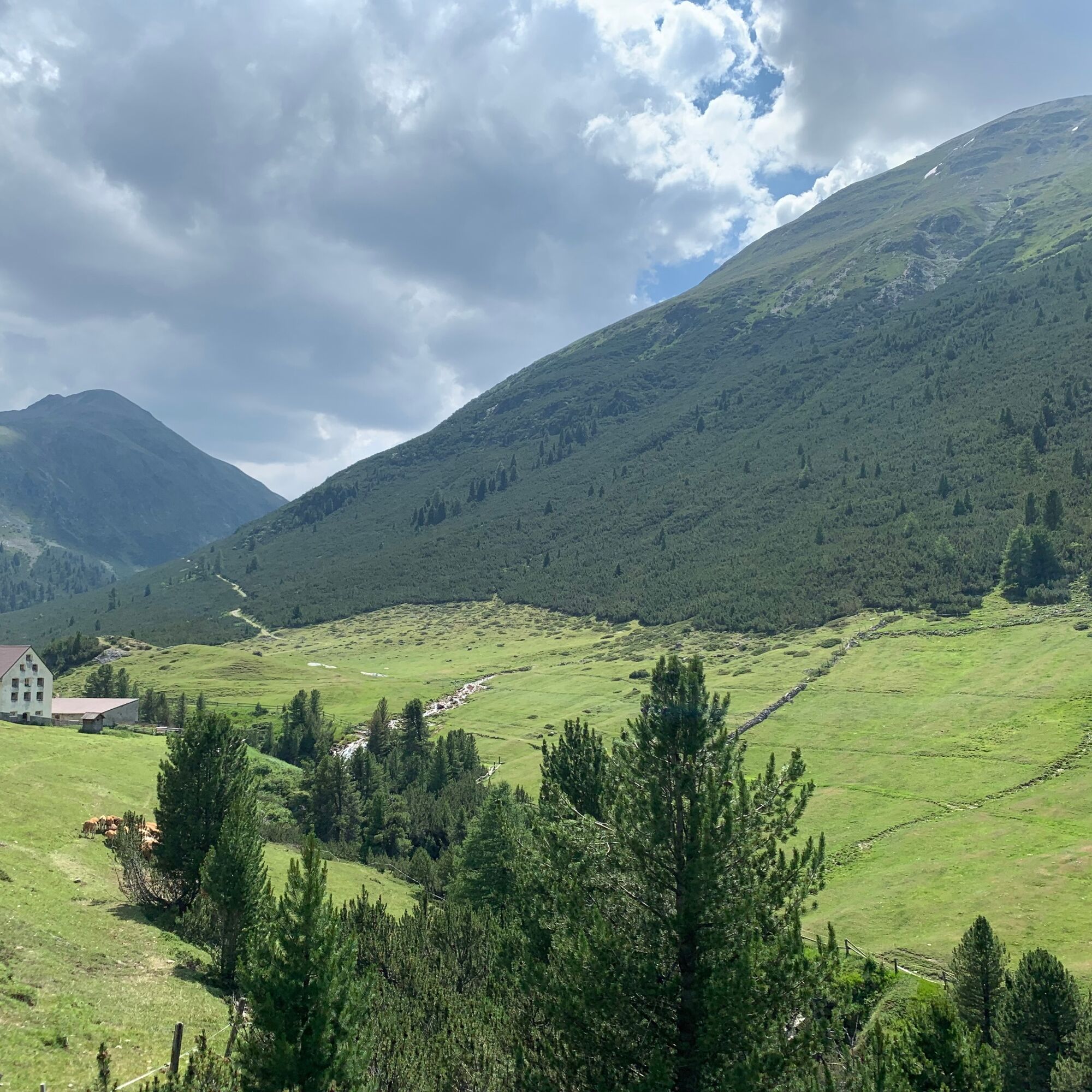
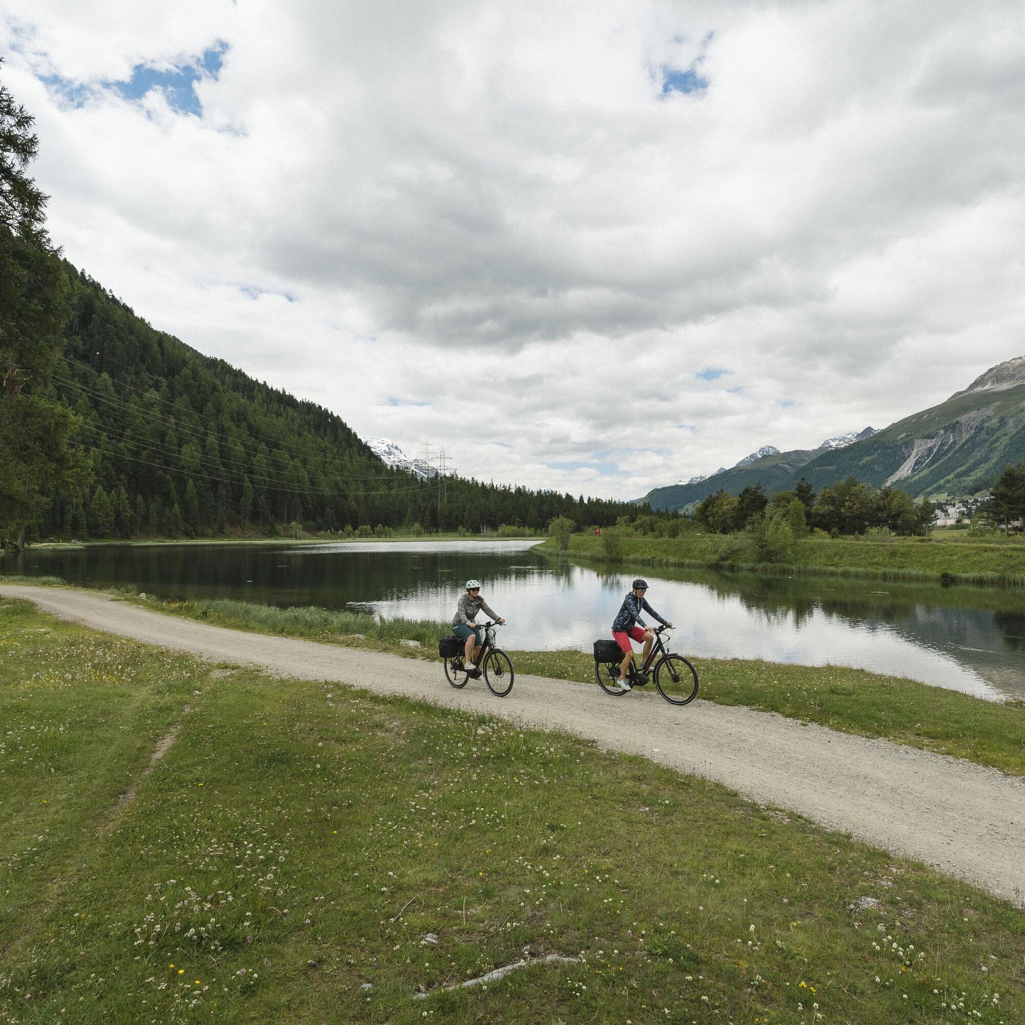
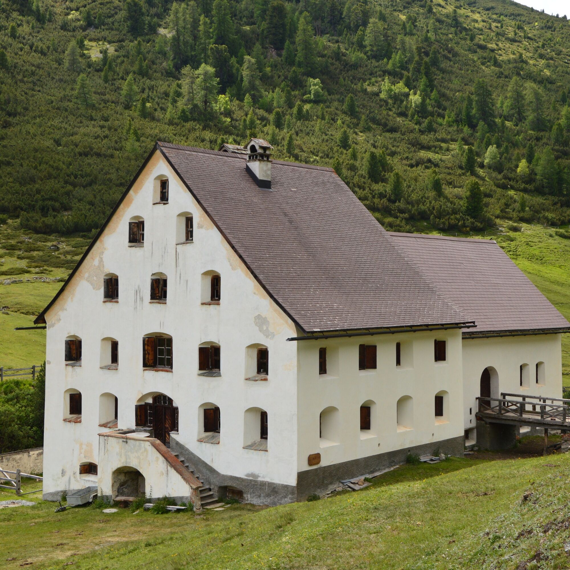
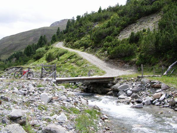
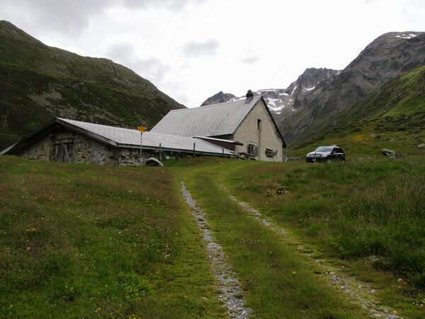
The starting point of this bike route is the Promulins Arena in Samedan. Crossing over the main road, you reach Lej Gravatscha, an idyllic mountain lake with barbecue areas. At the end of the lake, in Isellas, information boards provide details about the Innauen renaturation project. The trail continues along the Inn towards La Punt, where the path turns right into Val Chamuera, one of the last pristine side valleys of Upper Engadine. The well-ridable natural road steadily ascends from the start and demands strong muscular effort on the steeper sections. The valley narrows into an impressive gorge and, together with the towering mountains on all sides, forms a breathtakingly wild backdrop. Suddenly, the old white packhouse Serlas appears out of nowhere. Here the valley splits, and if you want to go further, you have a choice: either steeply up to Alp Prüna or a bit more leisurely along the Ova Chamuera to the steep last section to Alp Prünella. The return to Chamues-ch is on the same trail. Passing through Chamues-ch, you cross to the other side of the valley. Past Arvins and along the old cantonal road, you reach the beautiful Engadine village of Bever. At the end of Bever, the trail climbs a bit more before reaching Samedan.
Further information
Engadin Tourism AG
Via Maistra 1
CH-7500 St. Moritz
Phone: +41 81 830 00 01
Email: allegra@engadin.ch
Internet: www.engadin.ch


Samedan - Lej Gravatscha - Isellas - La Punt - Alp Serlas - Alp Prünella - Alp Serlas - La Punt - Isellas - Lej Gravatscha - Samedan
3
In autumn and in the evenings, the valley lies in the shade, and the descent to La Punt can be very cool.
Kamery internetowe z trasy
-
Corviglia
-
St. Moritz / Samedan - Muottas Muragl
-
Samedo - Engadin Golf
-
St. Moritz / Samedan - Muottas Muragl
-
St. Moritz / Samedan - Muottas Muragl
-
St. Moritz / Samedan - Muottas Muragl
-
St. Moritz / Samedan - Muottas Muragl
-
Corviglia
-
Corviglia
-
Corviglia
-
Corviglia
-
Corviglia
-
Corviglia
-
Corviglia
-
Celerina - Cresta Palace
-
Zuoz
-
Celerina - Skiwiese Provuler
-
St. Moritz / Trais Fluors Bergstation
-
La Punt - Wasserreservoir
-
La Punt - Wasserreservoir
-
La Punt - Wasserreservoir
-
La Punt - Wasserreservoir
-
Samedan - Engadin Airport
-
Zuoz - Engadin Golf
-
Trais Fluors Bergstation
-
Trais Fluors Bergstation
-
Trais Fluors Bergstation
-
Trais Fluors Bergstation
-
Trais Fluors Bergstation
-
Trais Fluors Bergstation
-
Trais Fluors Bergstation
-
Pontresina - Eiskletter-Schlucht
-
Pontresina - Hotel Saratz
Uzyskaj wgląd
Zawsze na żywo z ponad 9 500 kamer internetowych. bergfex Jako użytkownik Pro, możesz teraz zobaczyć odpowiednie kamery internetowe dla wielu wycieczek w aplikacji wycieczki od. Pozwala to na bezpośredni podgląd aktualnych warunków.
Popularne wycieczki w okolicy
-
5,0
Morteratsch station - Boval Hut
średniWędrówka 10,5 km -
4,9
Circular hike Val Trupchun in the Swiss National Park
średniWędrówka 13,8 km -
4,7
Diavolezza - Munt Pers
światłoWędrówka 3,82 km -
4,7
Panoramic route Muottas Muragl
światłoWędrówka 6,75 km -
5,0
Muottas Muragl - Segantini hut - Pontresina
średniWędrówka 6,46 km -
4,5
Pontresina - Val Roseg - Pontresina
światłoWędrówka 13,8 km -
4,8
Around Lake St. Moritz
światłoWędrówka 4,32 km -
4,7
Morteratsch Glacier route
światłoTrasa tematyczna 2,88 km -
4,8
Alp Languard - Segantini Hut - Muottas Muragl
średniTrailrunning 6,45 km -
Muottas Muragl - Segantini Hütte - Pontresina
średniWędrówka 17,5 km
Wędrówki i tropienie


Nie przegap ofert i inspiracji na następne wakacje
Twój adres e-mail została dodana do listy mailingowej.





