






Fimber Pass - Val d'Uina - Resia Pass: stage 4, Martina - Samnaun (443)
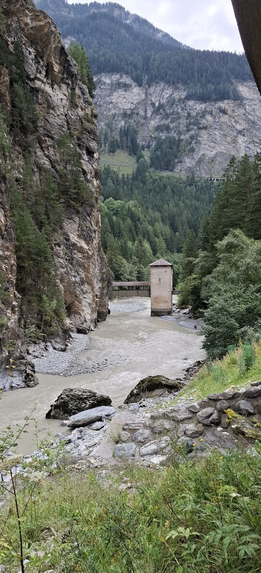
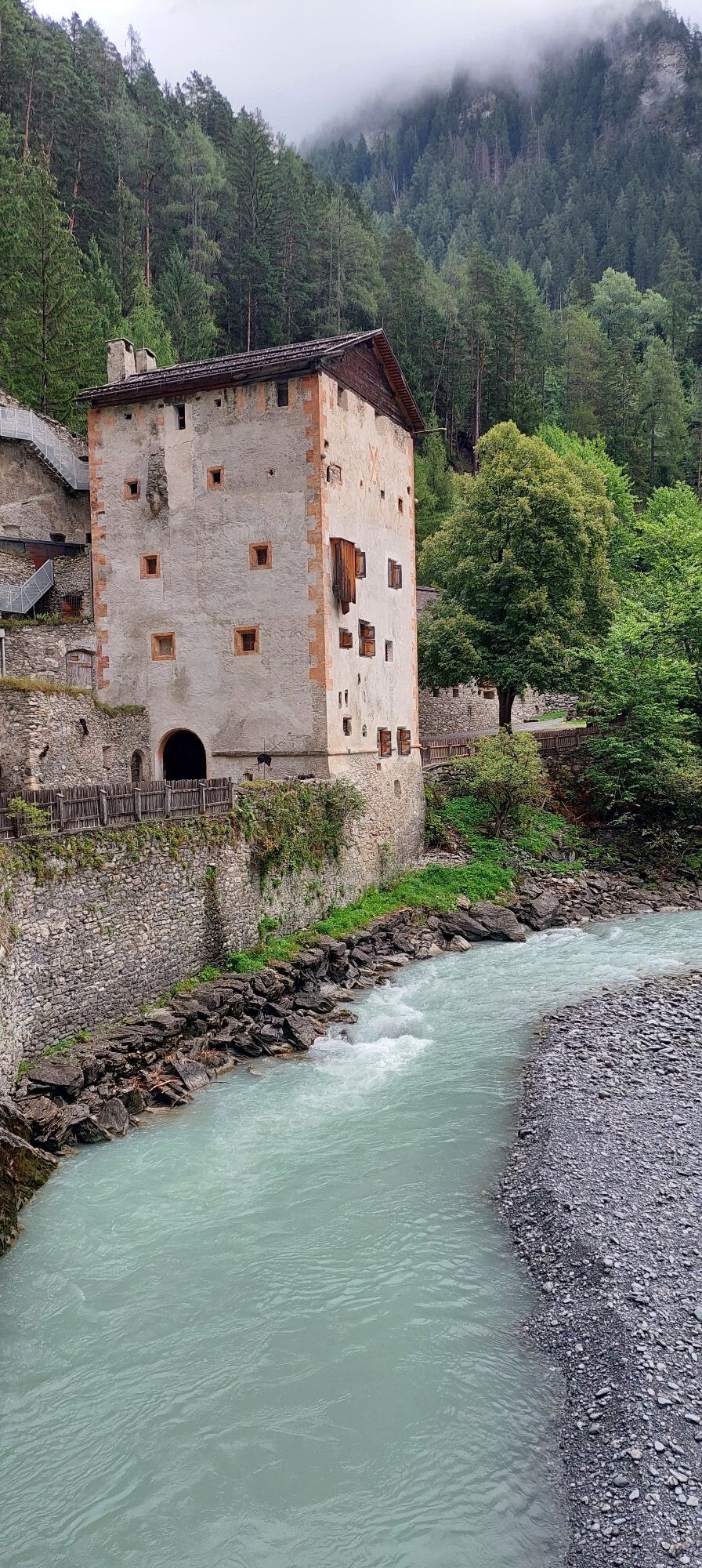
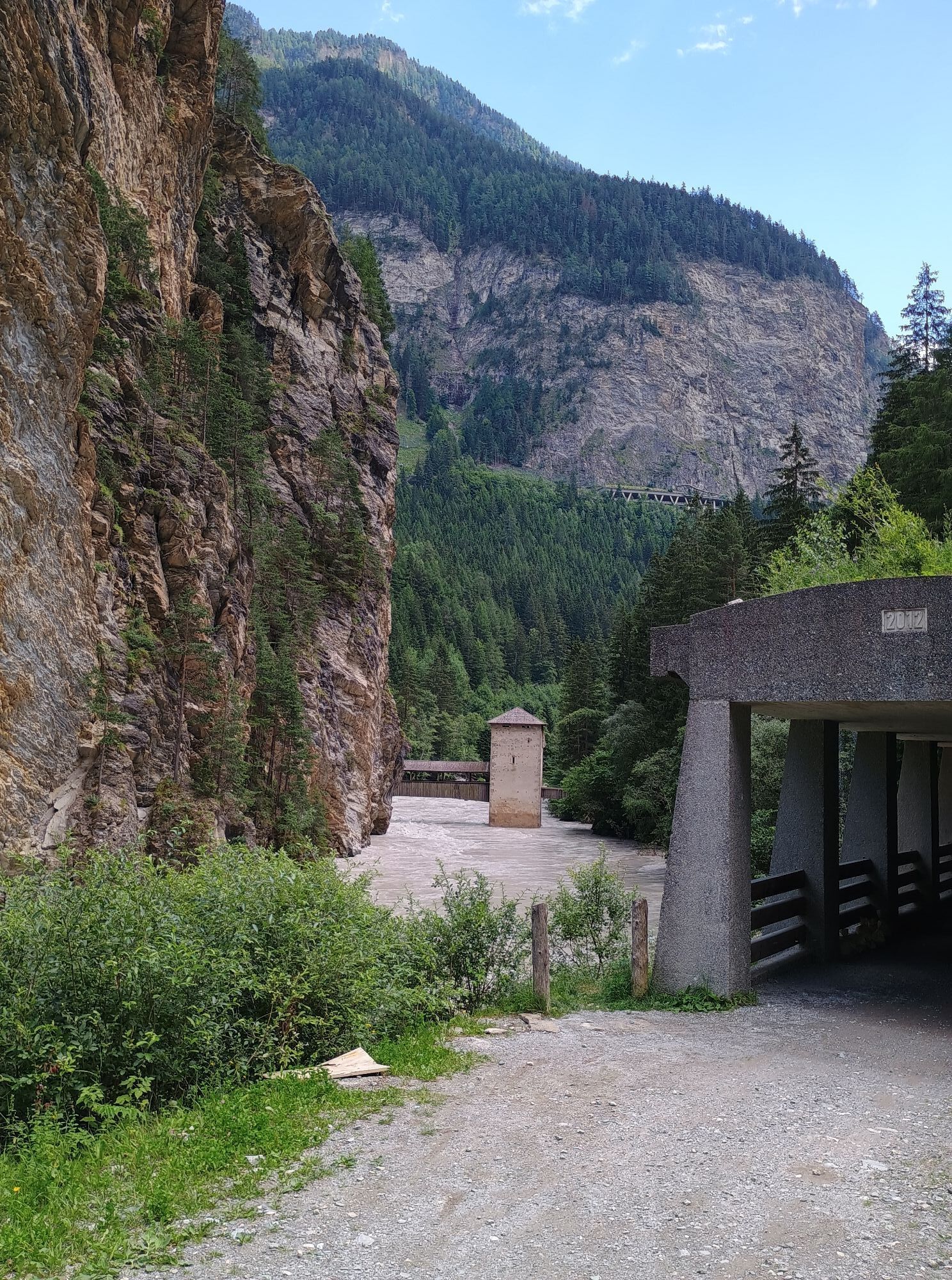
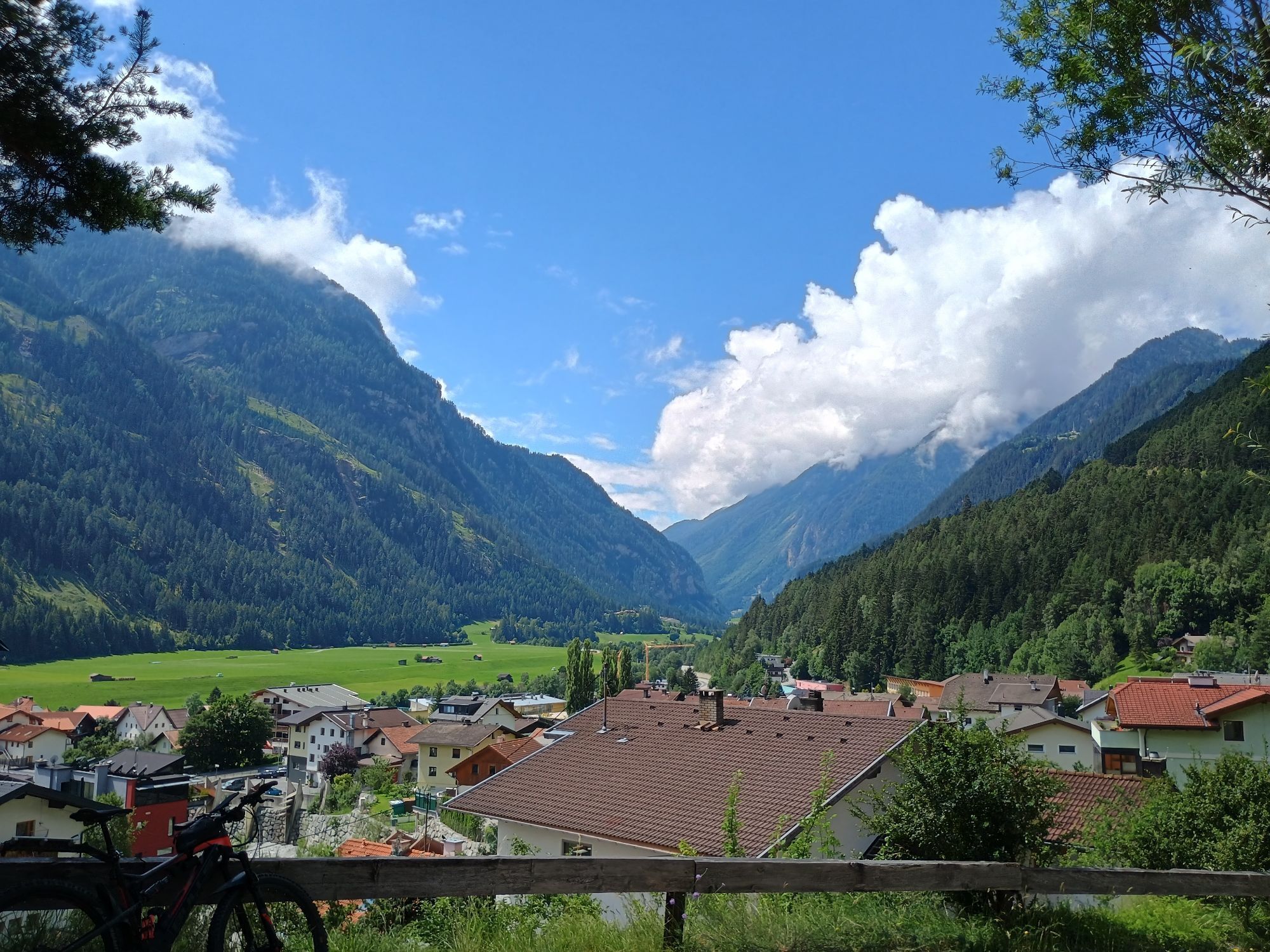
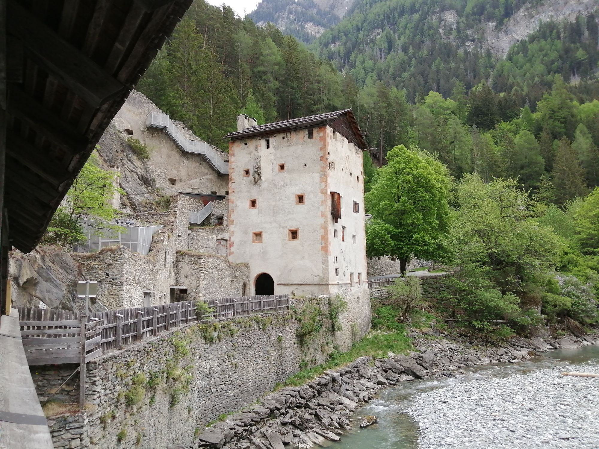
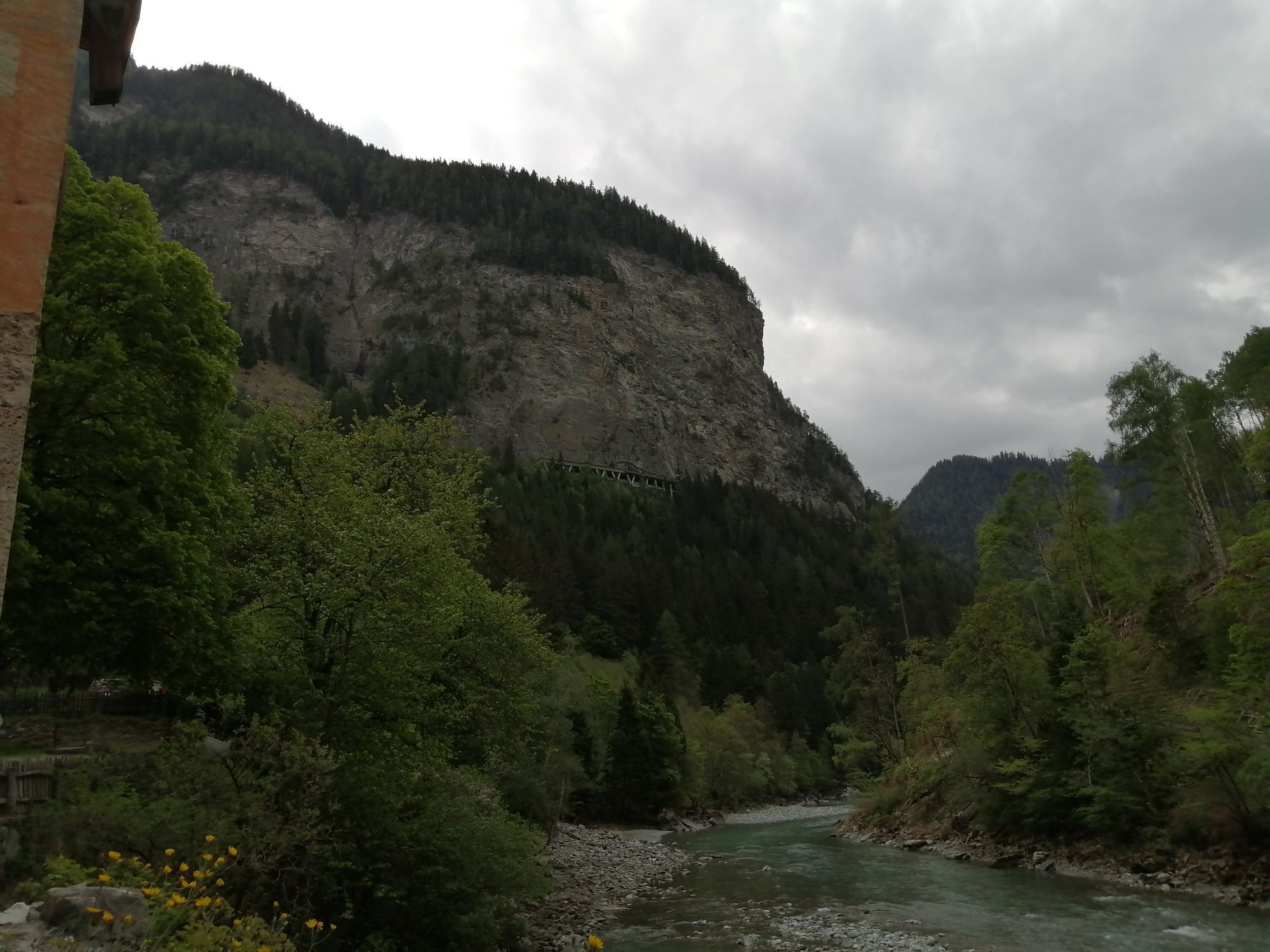
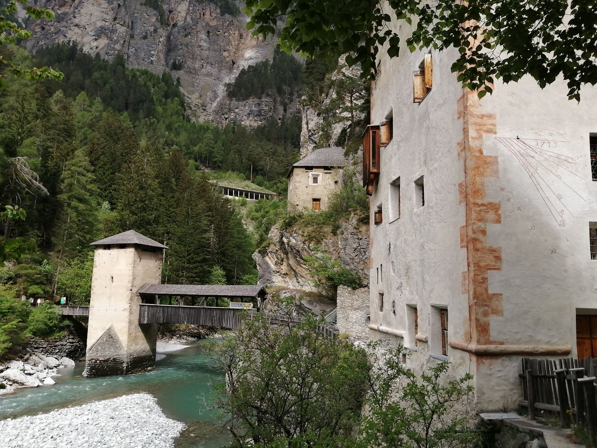
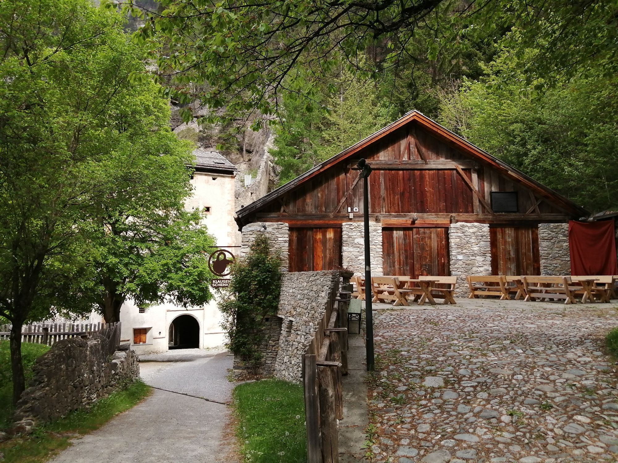
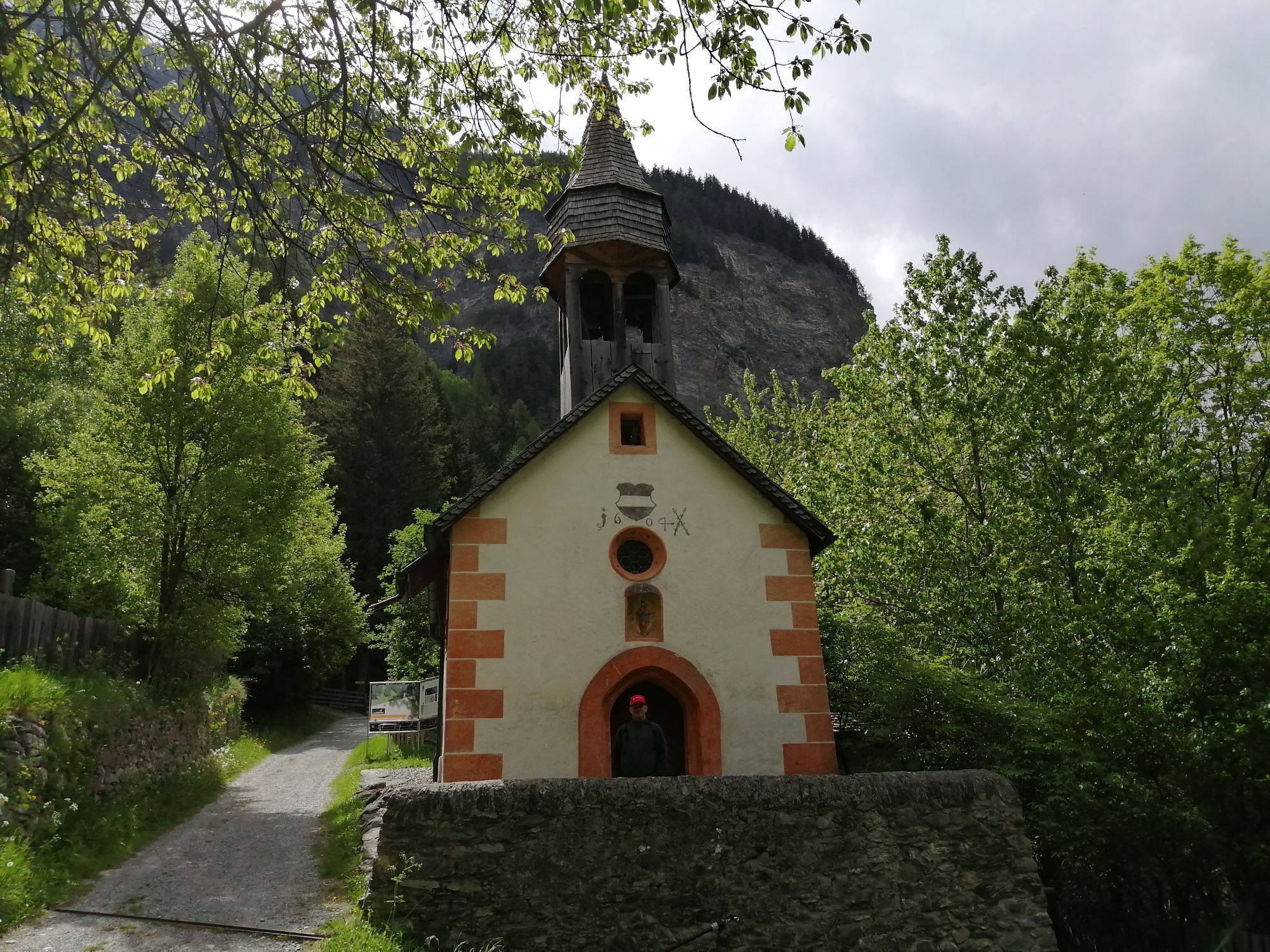
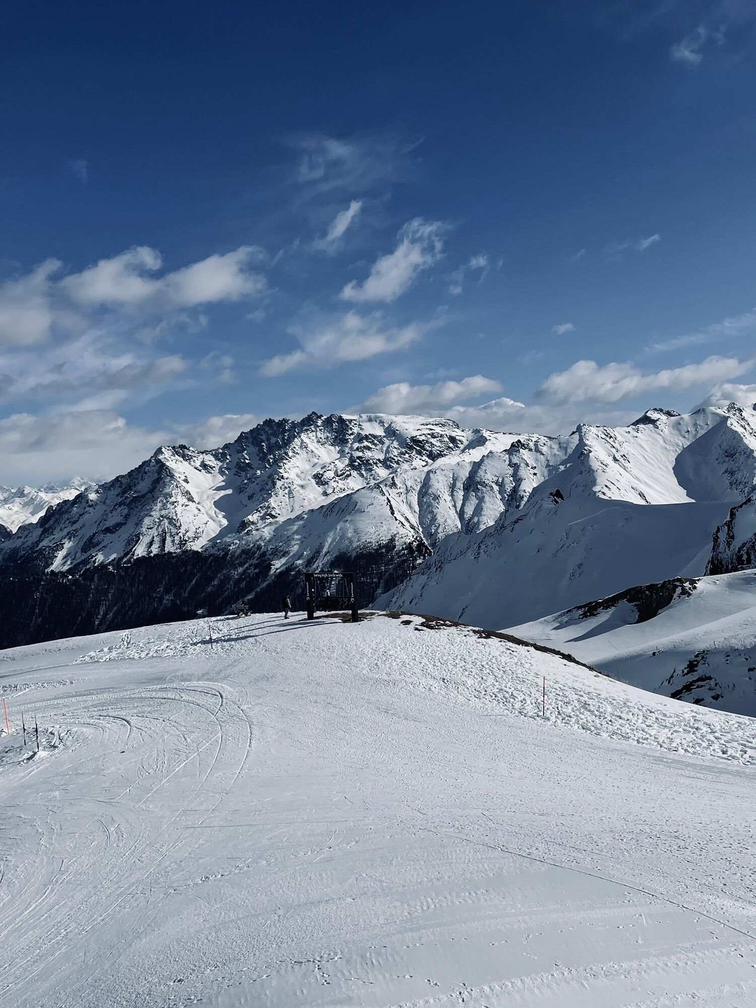
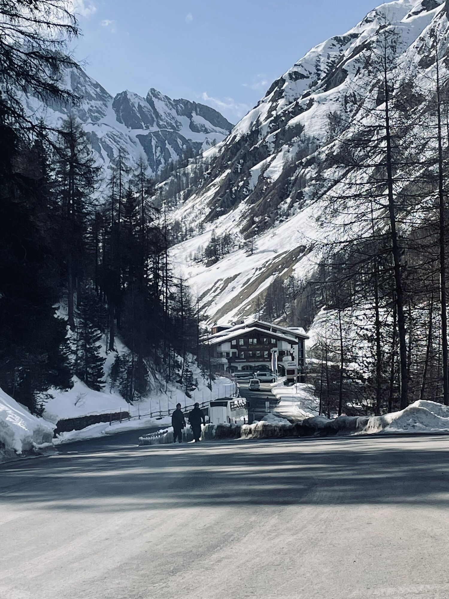
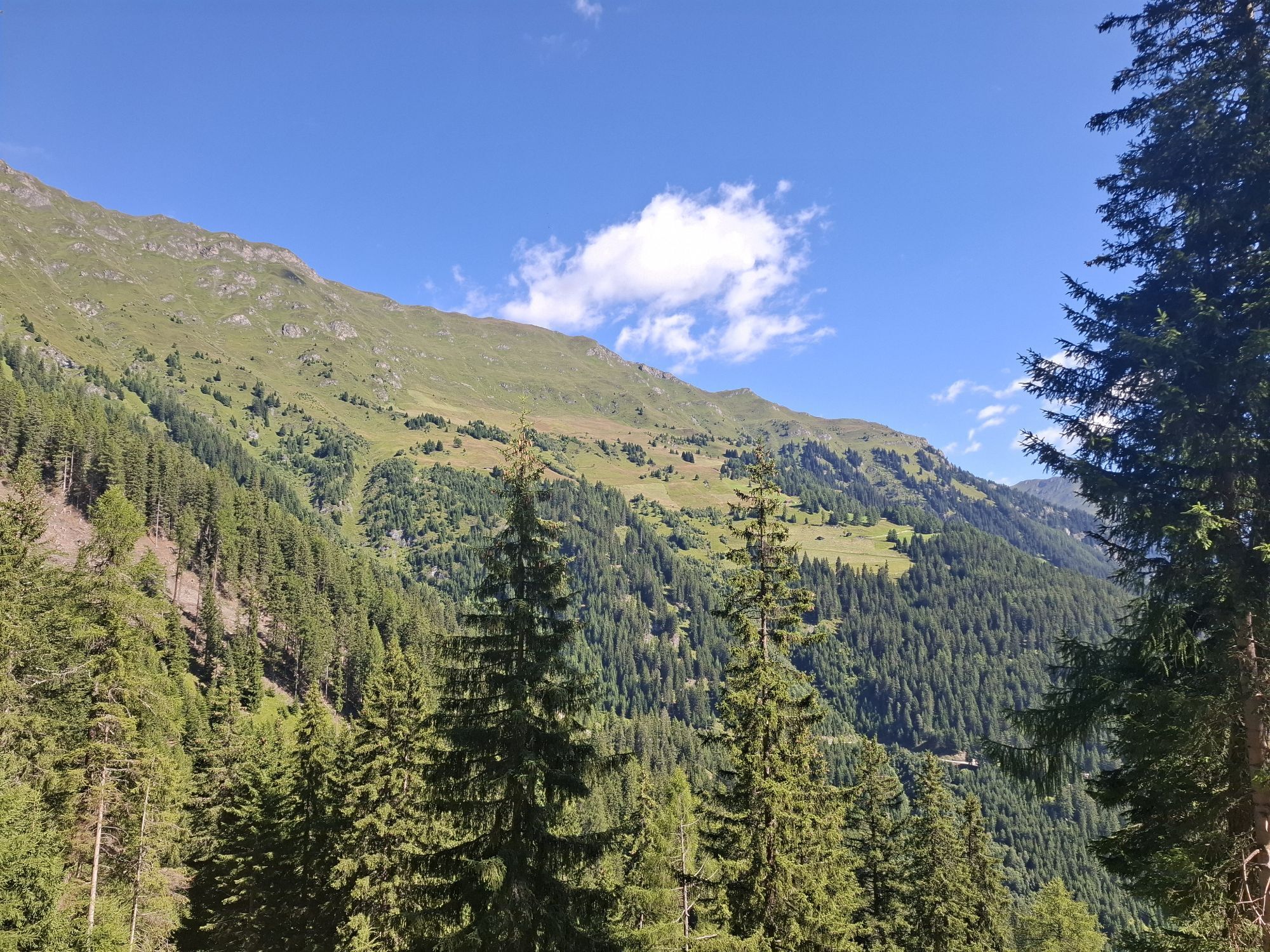
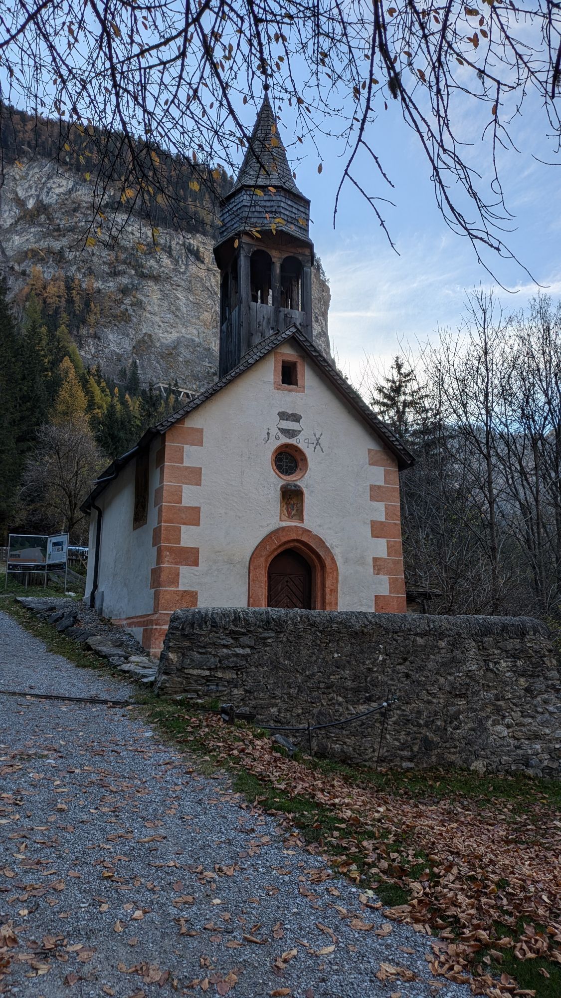
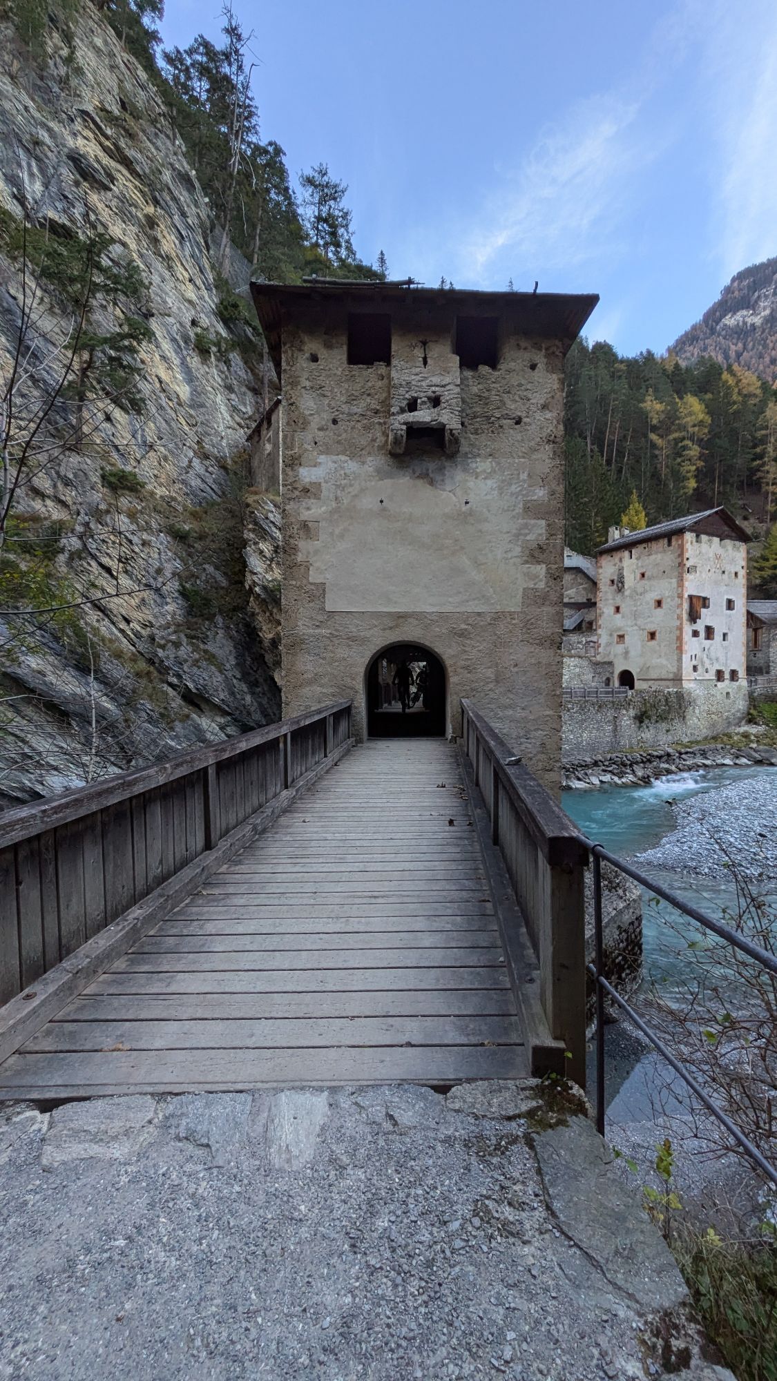
Along the Inn and through the narrow Inn gorge you reach the Austrian town of Pfunds. The ascent to the Kobler Alpe is quite demanding. You are rewarded with the high trail via Spiss to Samnaun.
Note on...
Note on the route:
The signposted loop from Martina to Tschlin and back via God d'Urezzas to Martina can optionally be added at the beginning of the fourth stage. Between Martina and Pfunds the route follows the main road.


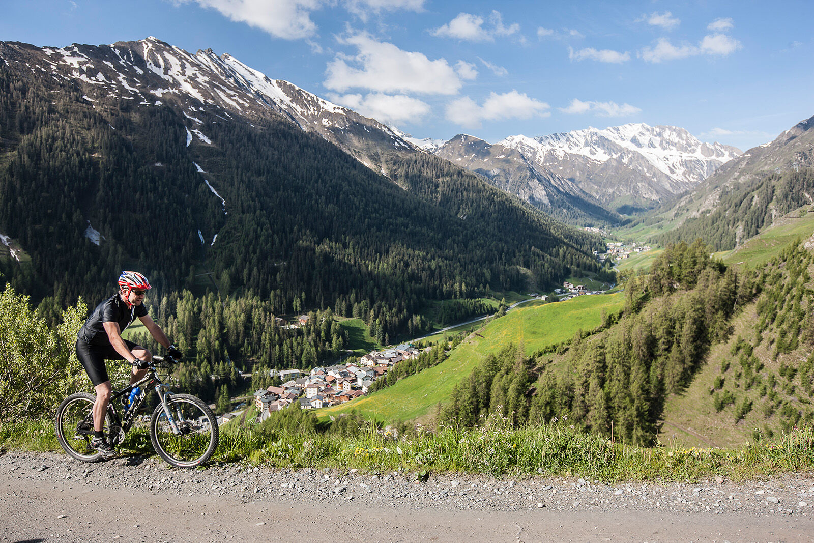

From Martina along the Inn in an easterly direction to Pfunds.
In Pfunds turn left and head uphill towards Kobler Alpe
Follow the path to Spiss
After Spiss, turn right into the side valley, follow the course of the river
Keep left at the fork and drive out of the valley again
Turn right towards Compatsch, Laret until Samnaun village
Helmet, gloves, good shoes, glasses, rain and sun protection, water bottle, repair kit, bandages
Emergency call:
144 Emergency call, first aid
1414 Mountain rescue REGA
112 International emergency call
Consideration for hikers
Most of the mountain bike routes in Graubünden run on single trails that are also signposted as hiking trails. Hikers always have the right of way.
From the north: via Landquart - Klosters by car transport through the Vereina tunnel (Selfranga - Sagliains) or over the Flüela pass into the Lower Engadine on H27, as far as Martina
From the east: via Landeck / Austria towards Reschenpass, after Martina take the H27 to Martina.
From the south: via Reschenpass to Martina
By Rhaetian Railway (from Chur, Landquart/Prättigau or from the Upper Engadine) hourly to Scuol-Tarasp station.
Continue by PostBus to PostBus stop Martina, cunfin
Free parking at the Samnaun-Compatsch adventure pool
Brand paradise Samnaun - probably the highest shopping mile in Europe offers something for every taste, from jewellery and food to tobacco. Thanks to the duty-free zone, best prices are guaranteed.
 Uzyskaj wgląd
Zawsze na żywo z ponad 9 500 kamer internetowych. bergfex Jako użytkownik Pro, możesz teraz zobaczyć odpowiednie kamery internetowe dla wielu wycieczek w aplikacji wycieczki od. Pozwala to na bezpośredni podgląd aktualnych warunków.
Uzyskaj wgląd
Zawsze na żywo z ponad 9 500 kamer internetowych. bergfex Jako użytkownik Pro, możesz teraz zobaczyć odpowiednie kamery internetowe dla wielu wycieczek w aplikacji wycieczki od. Pozwala to na bezpośredni podgląd aktualnych warunków.
Popularne wycieczki w okolicy
-
4,8
Murmeltierwanderweg
średniWędrówka 6,87 km -
4,6
Quellenweg & Panorama Genussweg
światłoWędrówka 10,5 km -
4,9
Furgler vom Lazid
ciężkiWycieczka wysokogórska 9,60 km -
4,5
Radurschelklamm
średniWędrówka 7,51 km -
5,0
Samnaun Dorf – Muttler
ciężkiWędrówka 14,8 km -
3,5
Nauders - Bergkastel - Plamort - Reschen - Nauders
średniMountainbike 20,9 km -
4,5
Serfaus: Komperdell Tour
średniMountainbike 12,1 km -
4,5
Leonhardskapelle - Deiländerblick - Mein Dörfl Bar-Bungalov - Kapelle zum Hl. Martin
światłoJazda na rowerze 29,2 km -
5,0
Around the Flimspitz from Alptrider Sattel
średniWędrówka 8,57 km -
5,0
Holzkugelweg Gemeinde Serfaus, Tirol/Österreich
światłoWycieczki górskie 2,72 km
Wędrówki i tropienie


Nie przegap ofert i inspiracji na następne wakacje
Twój adres e-mail została dodana do listy mailingowej.





