


90.10 Graubünden Bike Stage 10 Safien Platz - Lumbrein
Poziom trudności: S2


After the challenging end of the previous day, you can now pedal steadily gaining altitude on the valley road of the Safien Valley almost to the end of the valley. After about 400 meters of altitude, the...
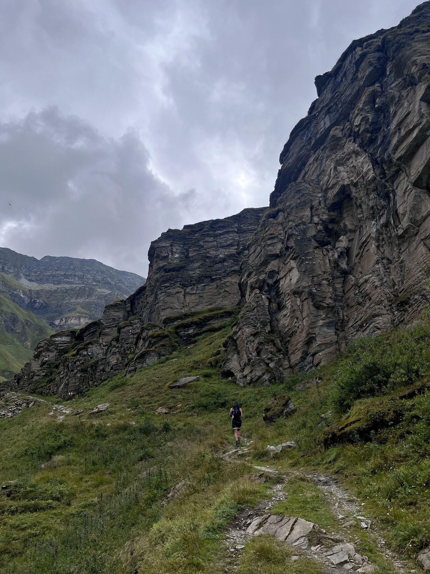
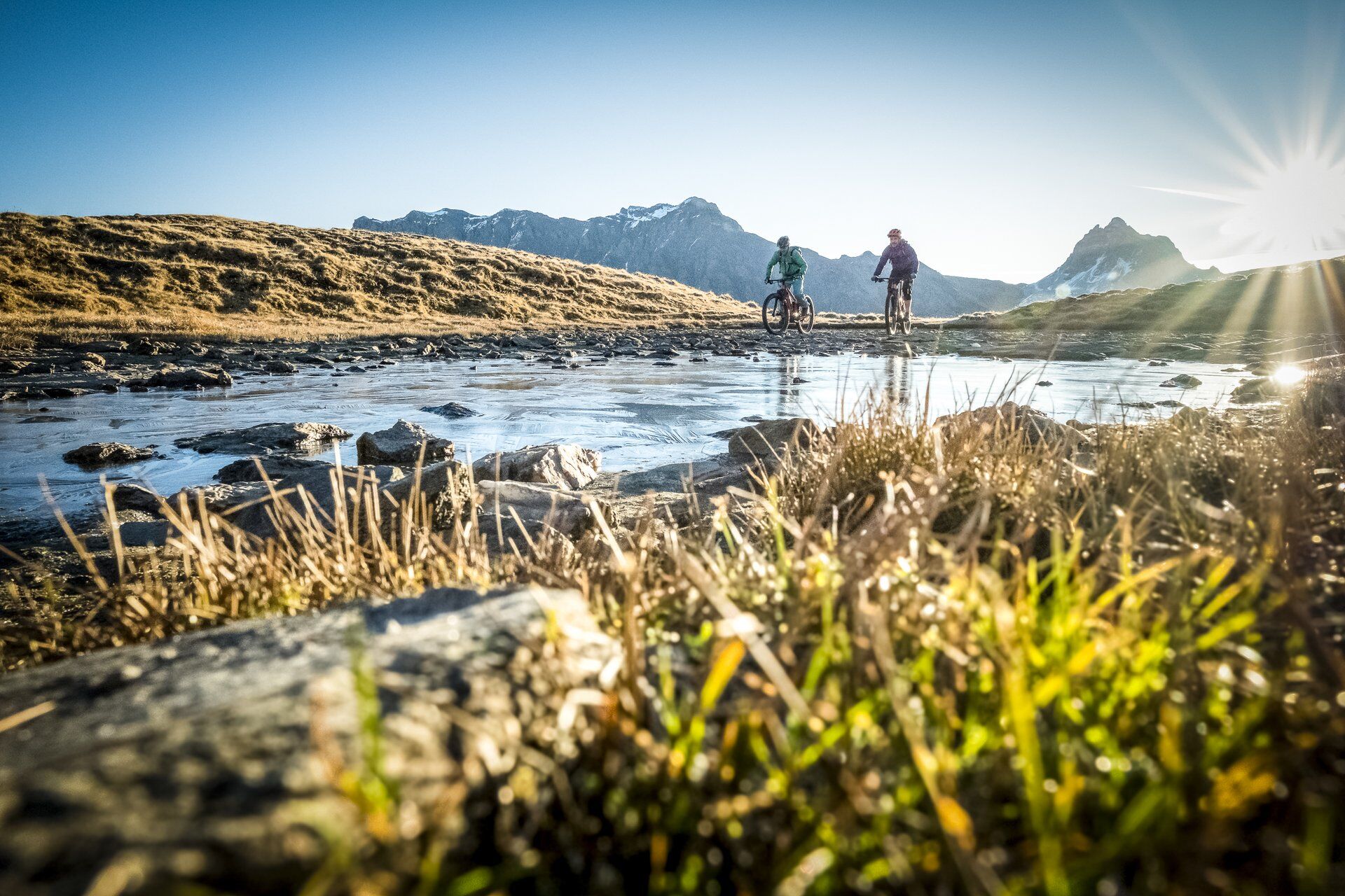
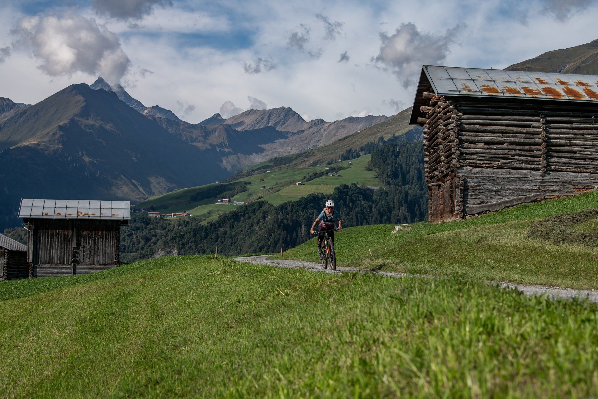
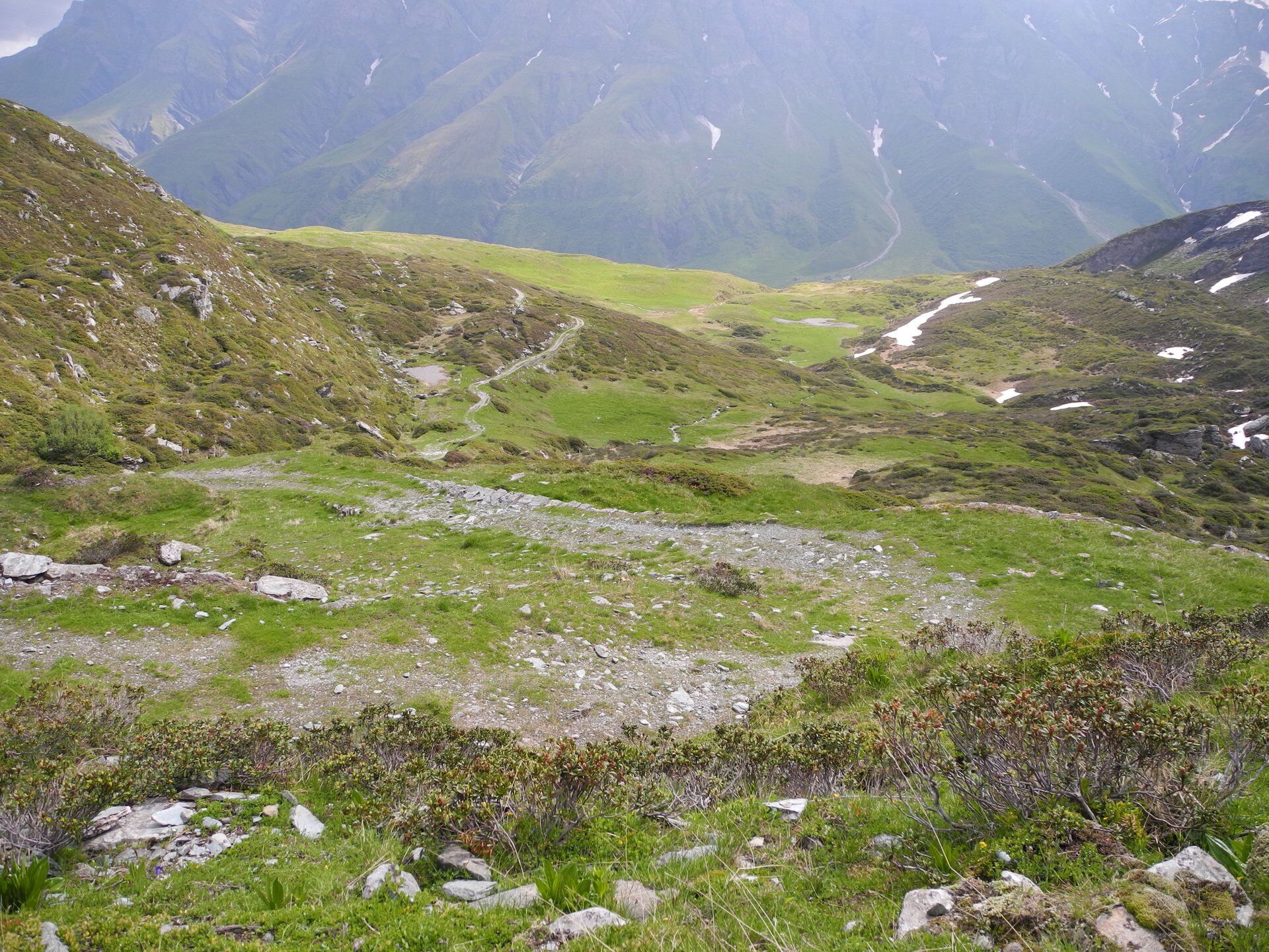
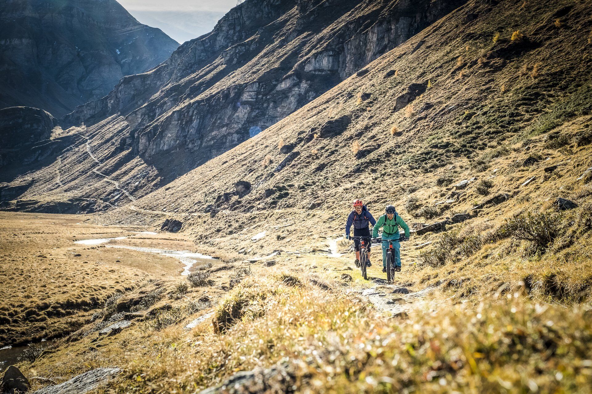
After the challenging end of the previous day, you can now pedal steadily gaining altitude on the valley road of the Safien Valley almost to the end of the valley. After about 400 meters of altitude, the route now branches off onto the so-called Polenweg over the Tomüllpass. The alpine road becomes steeper and more technical the higher you get. Those who stay in the saddle up to the pass height of 2412 meters are heroes of the day. Most will push their bike for about half an hour.
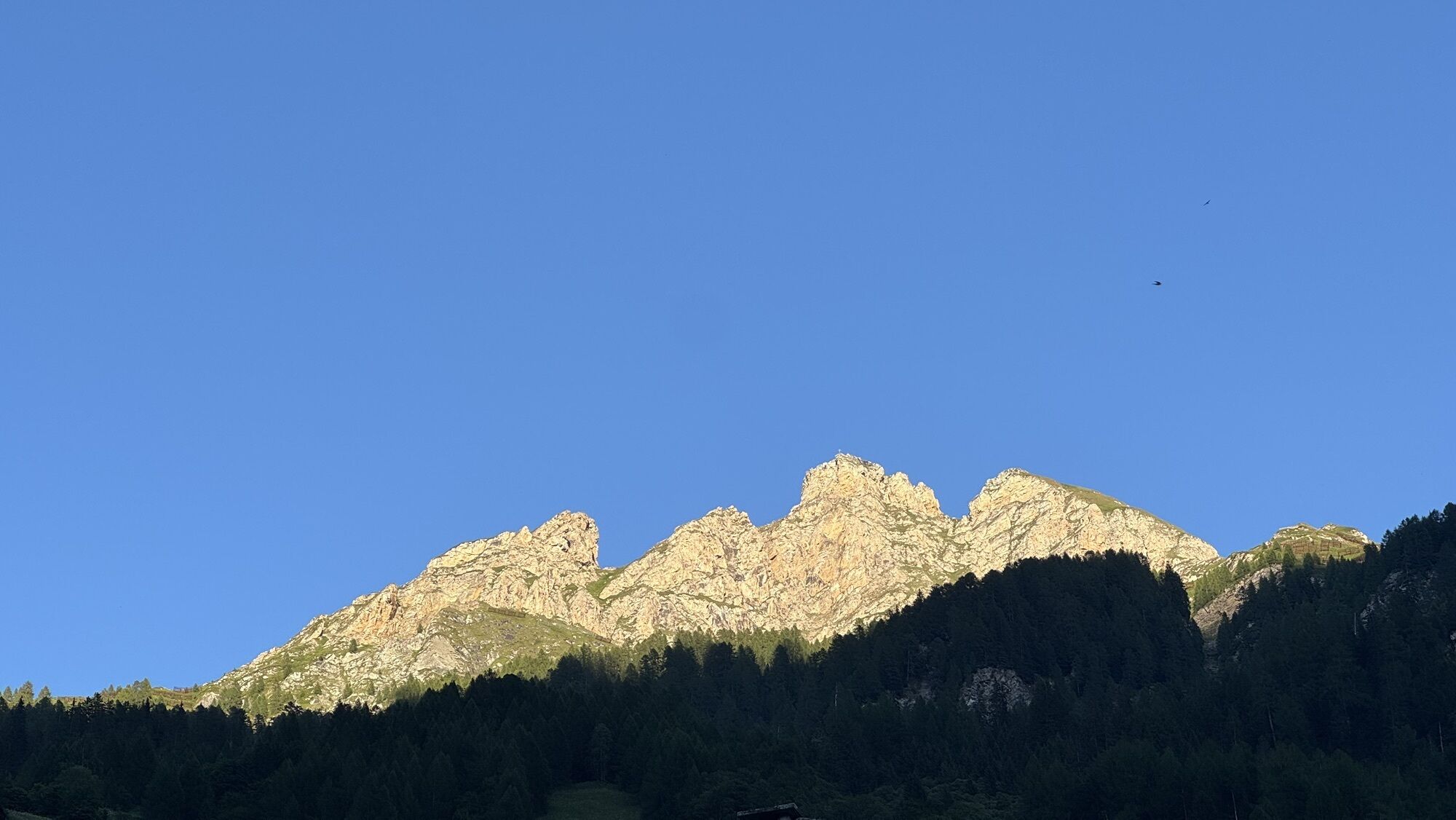
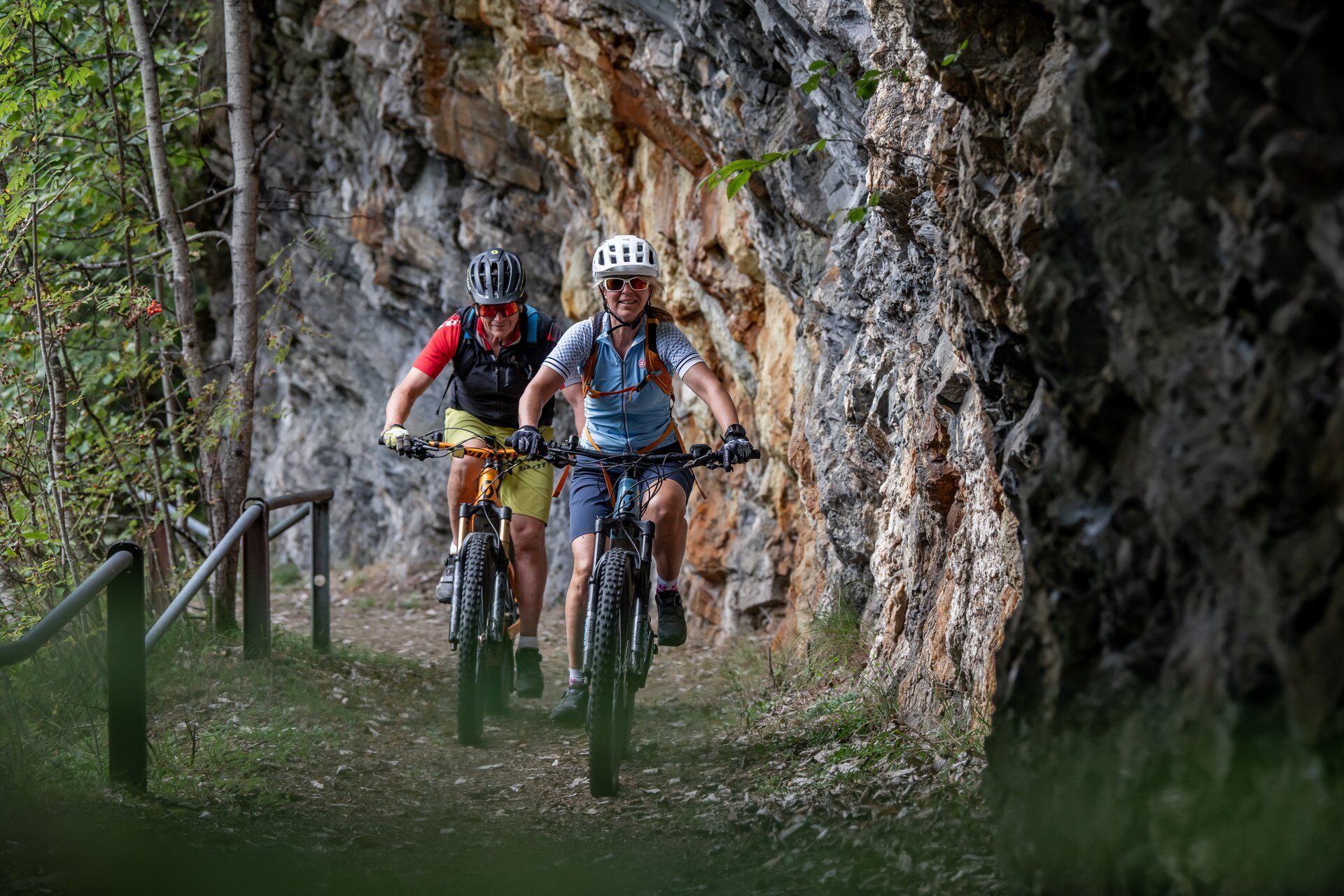
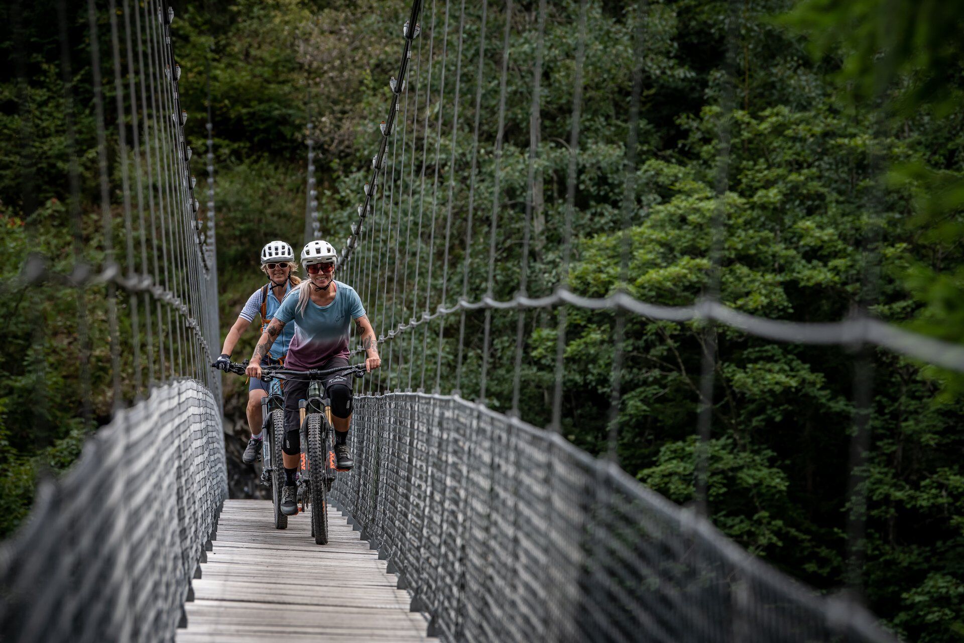
The reward for the calories burned comes promptly. The technical alpine roads and flowing single trails compensate for all the effort. Above Vals, the route leads over the paved road down into the village. Here a lunch break is scheduled before you speed along the only connection, the main road, to Uors in the Lumnezia. The last 500 meters of altitude lead the 90 route over alpine and side roads to the stage destination in Lumbrein.

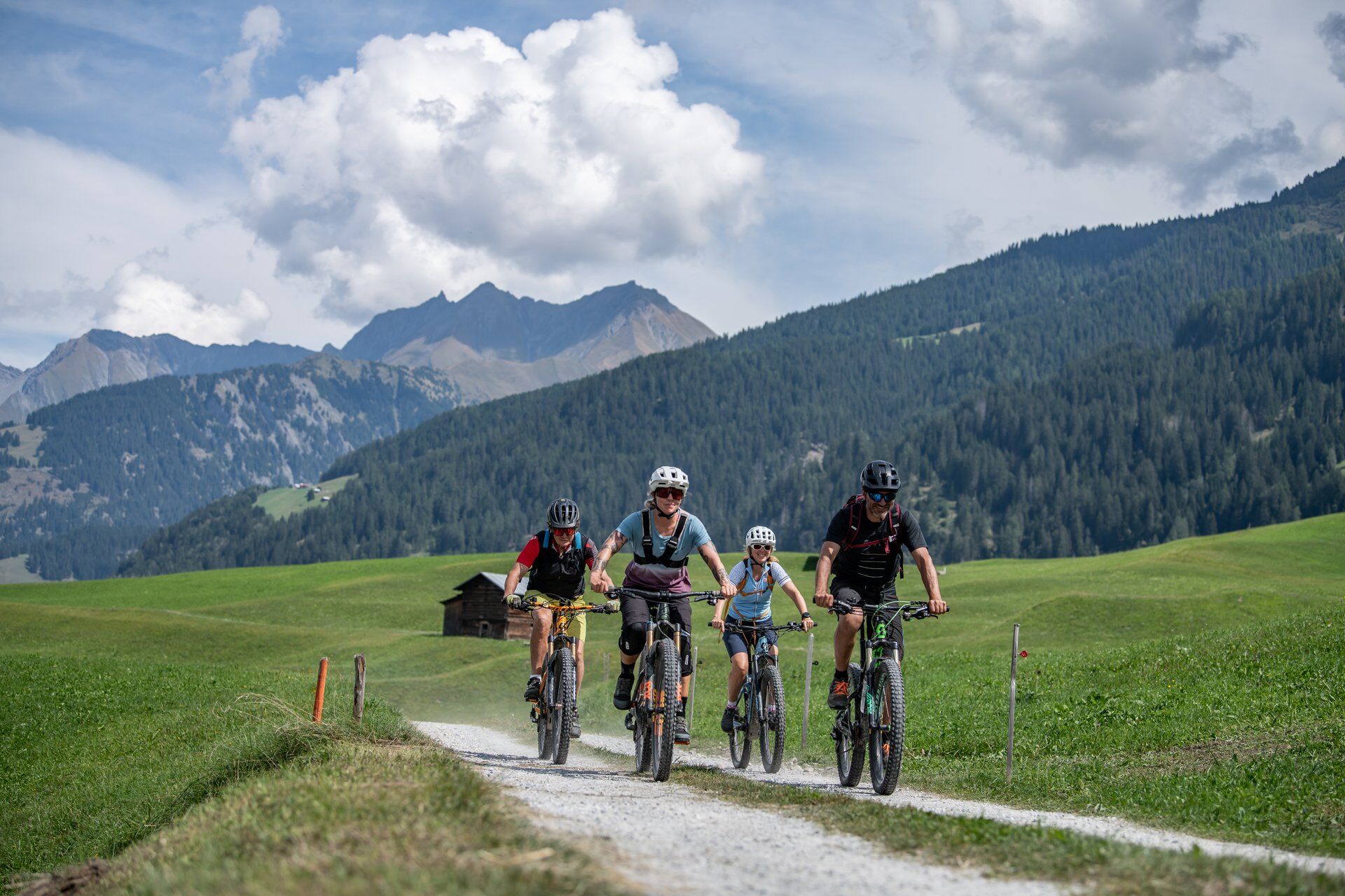
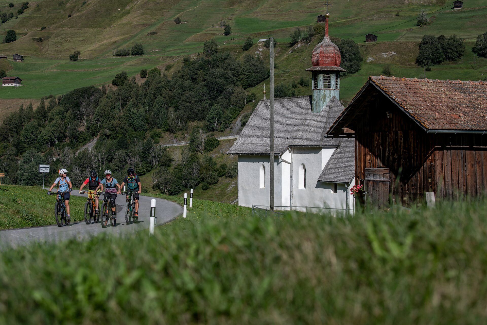
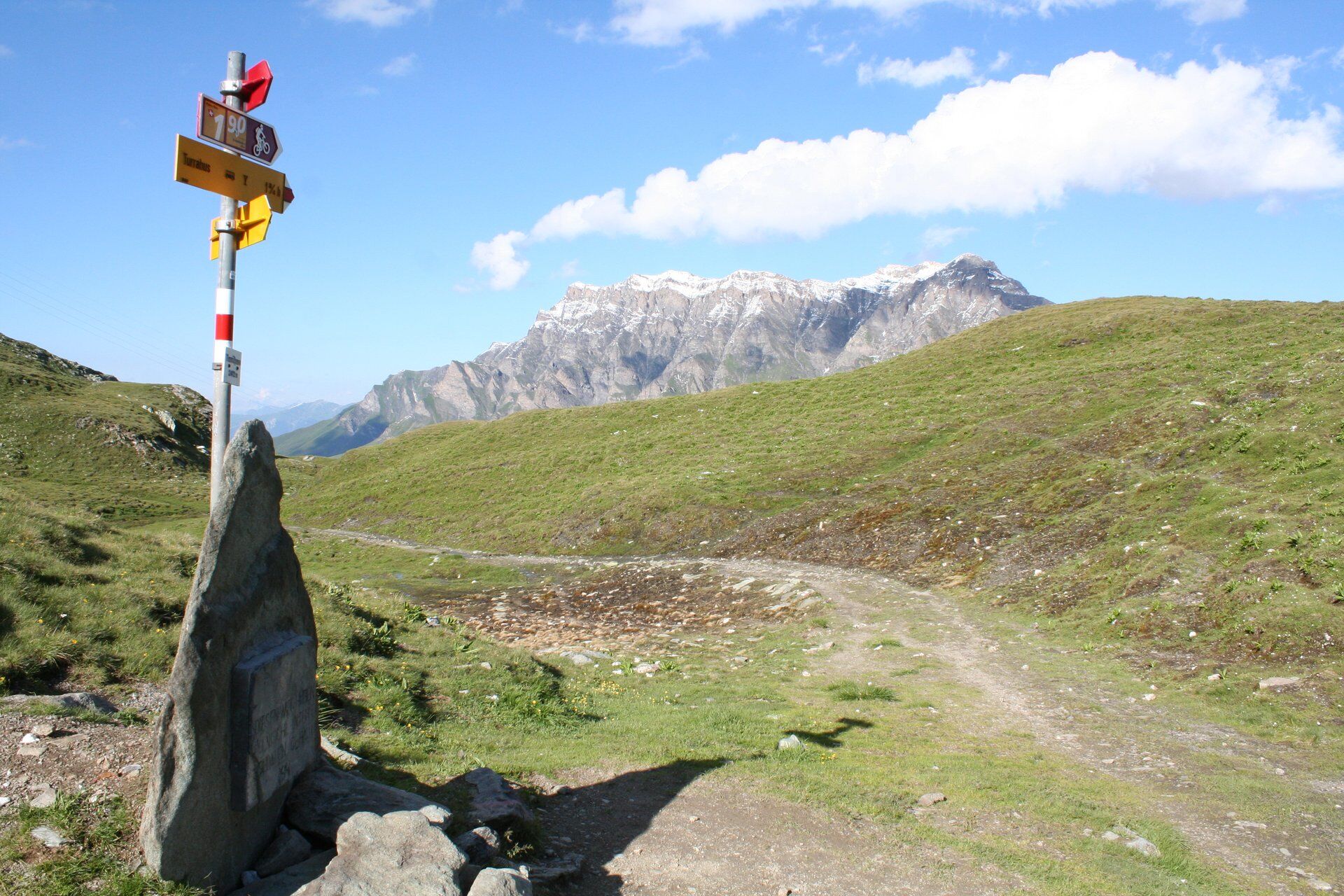
Safien Platz - Thalkirch - Tomülpass - Vals - Tersnaus - Surcasti - Surin - Lumbrein
MTB, helmet, possibly gloves, good footwear, glasses, rain and sun protection, drink, repair kit, first aid kit
In uncertain weather conditions, the route should not be started. Weather changes in the mountains are common. If a rain front or similar develops during the route, you should turn back in time.
Respect other trail users - trail tolerance!
Stage route
Stage route
Stage route
S2
The stages:
Season: Snowfields can be possible on high sections until June
Push sections: Safien Platz–Lumbrein approx. 30 min / Lumbrein–Safien Platz approx. 30 min.
If you like it very technical (S3), you can take the hiking trails above Vals from "Rufena".
Lunch in Vals in one of the numerous restaurants
Kamery internetowe z trasy
Popularne wycieczki w okolicy
-
Piz Fess 2880m, der Stolze
ciężkiWędrówka 12,8 km -
5,0
Panorama route
światłoWędrówka 5,39 km -
4,7
Dutjer Alp - magnificent view
średniWędrówka 8,23 km -
5,0
Hiking route Suspension Bridge Val da Tersnaus
średniWędrówka 3,24 km -
3,3
3-lake hike
średniWędrówka 12,8 km -
5,0
Winter hike Gadastatt - Frunt - Zerfreila (Panorama trail)
światłoWędrówka zimą 5,36 km -
Panoramic route between Piz Mundaun and Péz Sezner
średniWędrówka 6,75 km -
4,5
Cozy and charming circular hike around Dachlisee
średniWędrówka 11,7 km -
5,0
Southeast Switzerland Hiking Day Vals 2017
światłoWędrówka 11,8 km -
Ridge hike to Blausee and Piz Titschal
ciężkiWędrówka 23,5 km

Wędrówki i tropienie


Nie przegap ofert i inspiracji na następne wakacje
Twój adres e-mail została dodana do listy mailingowej.