


Furcletta Tour from Hörnli
Zdjęcia naszych użytkowników
-
 © Marco AllemannUtworzono dnia 12.08.2025
 -
 © Marco AllemannUtworzono dnia 12.08.2025
 -
 © Marco AllemannUtworzono dnia 12.08.2025
 -
 © Marco AllemannUtworzono dnia 12.08.2025
 -
 © Marco AllemannUtworzono dnia 17.07.2024
 -

 © Timm Heinrich 1Utworzono dnia 02.04.2026
 -
 © Timm Heinrich 1Utworzono dnia 01.04.2026
 -
 © Timm Heinrich 1Utworzono dnia 01.04.2026
 -
 © Tilman HuberUtworzono dnia 17.03.2026
 -
 © Marc WeisskopfUtworzono dnia 13.03.2026
 -
 © Gernot SchmidtUtworzono dnia 02.02.2026
 -
 © Gernot SchmidtUtworzono dnia 02.02.2026
 -
 © Darius AmarapuraUtworzono dnia 28.11.2025
 -
 © Darius AmarapuraUtworzono dnia 28.11.2025
 -
 © Darius AmarapuraUtworzono dnia 28.11.2025
 -
 © Erik GanzUtworzono dnia 13.08.2025
 -
 © Erik GanzUtworzono dnia 13.08.2025
 -
 © Erik GanzUtworzono dnia 13.08.2025
 -
 © Erik GanzUtworzono dnia 13.08.2025
 -
 © Erik GanzUtworzono dnia 13.08.2025
 -
 © Erik GanzUtworzono dnia 13.08.2025


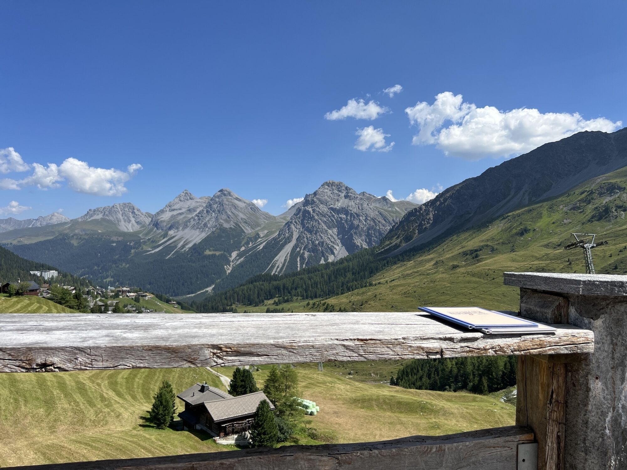
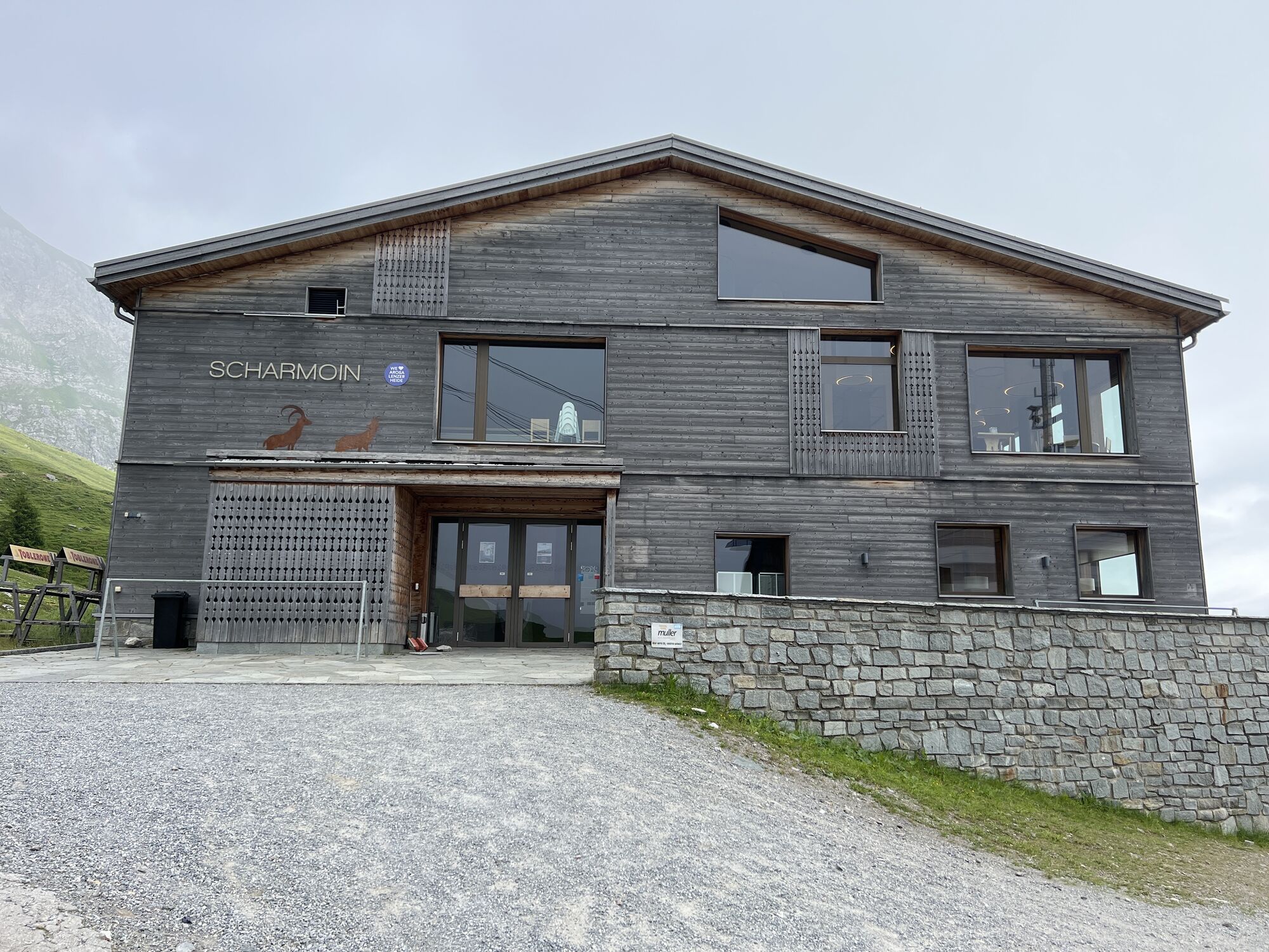


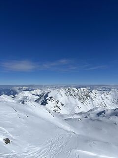
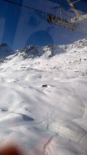
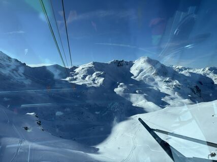
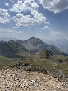
The challenging tour starts in Arosa with the Hörnli-Express, which takes the gondola to Hörnli and the underground railway to Lenzerheide. The descent to Scharmoin gives you a first taste of what awaits...
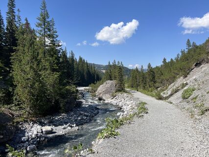
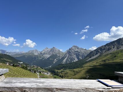
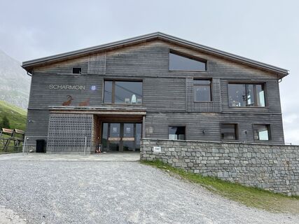
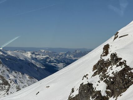
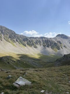
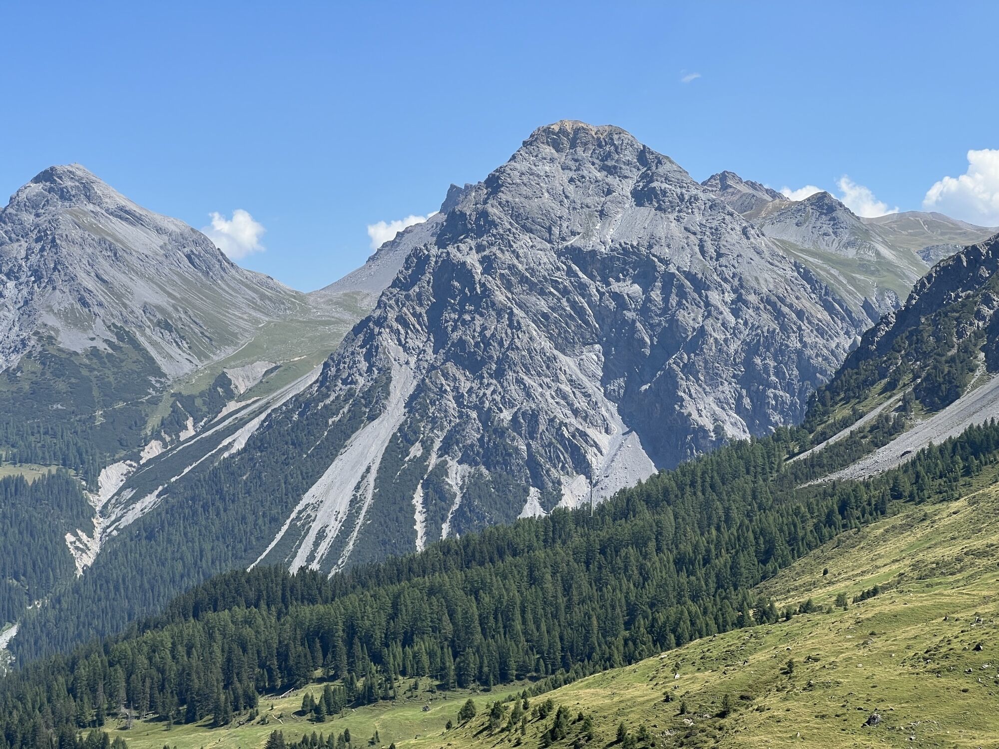
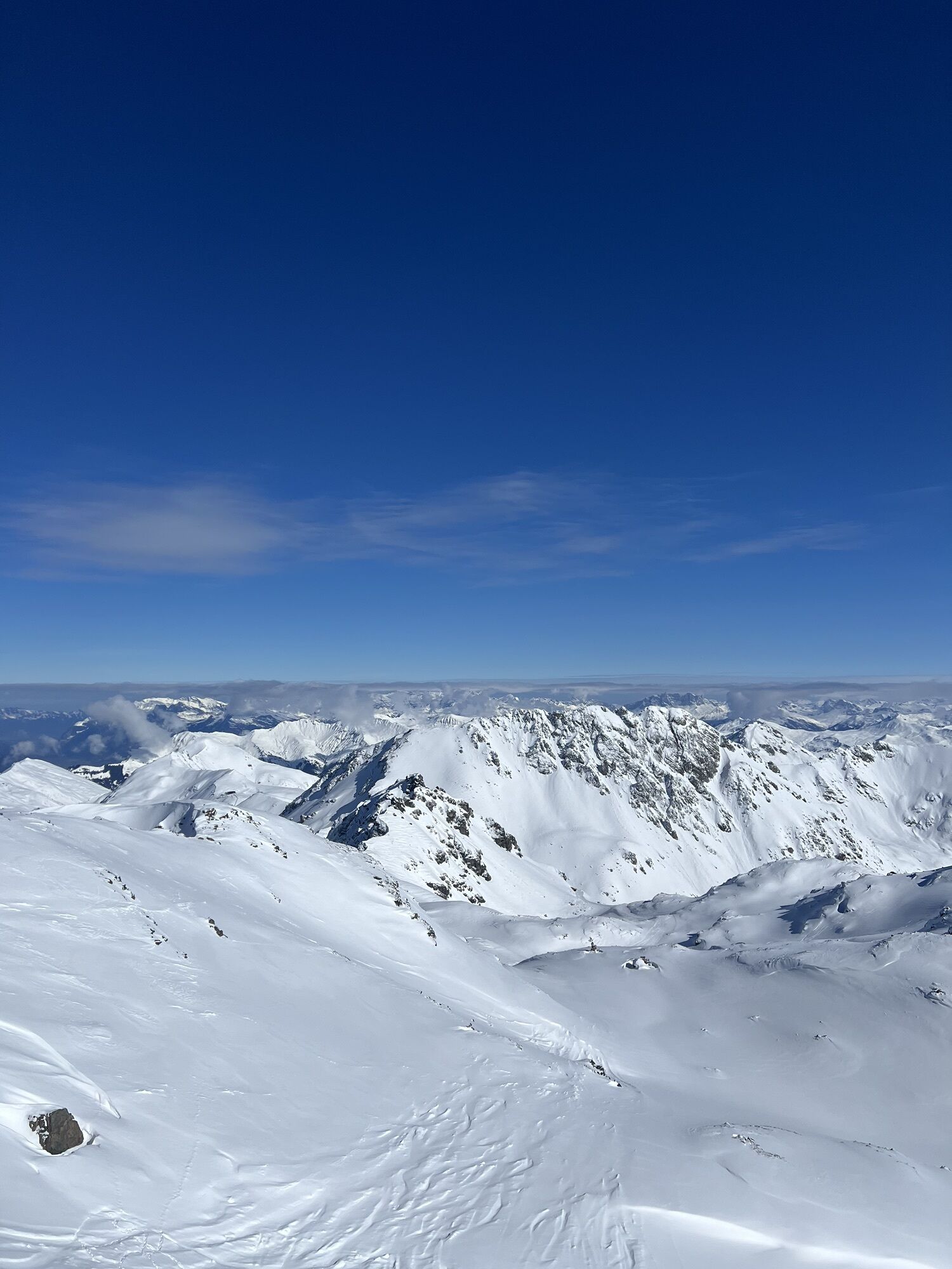
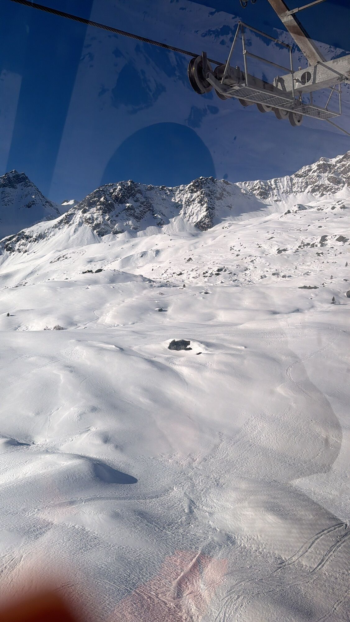
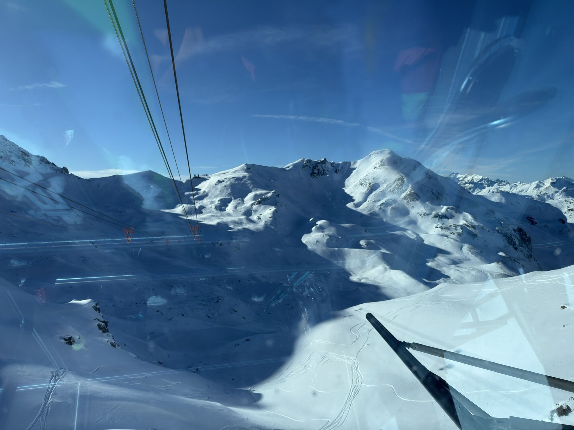
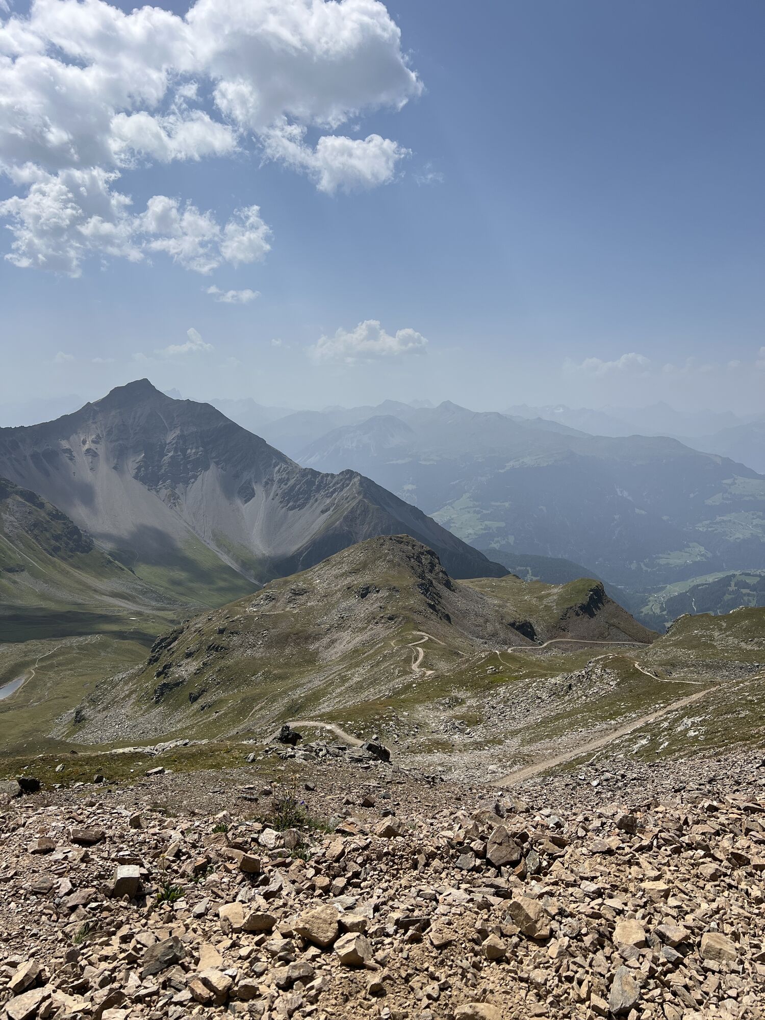
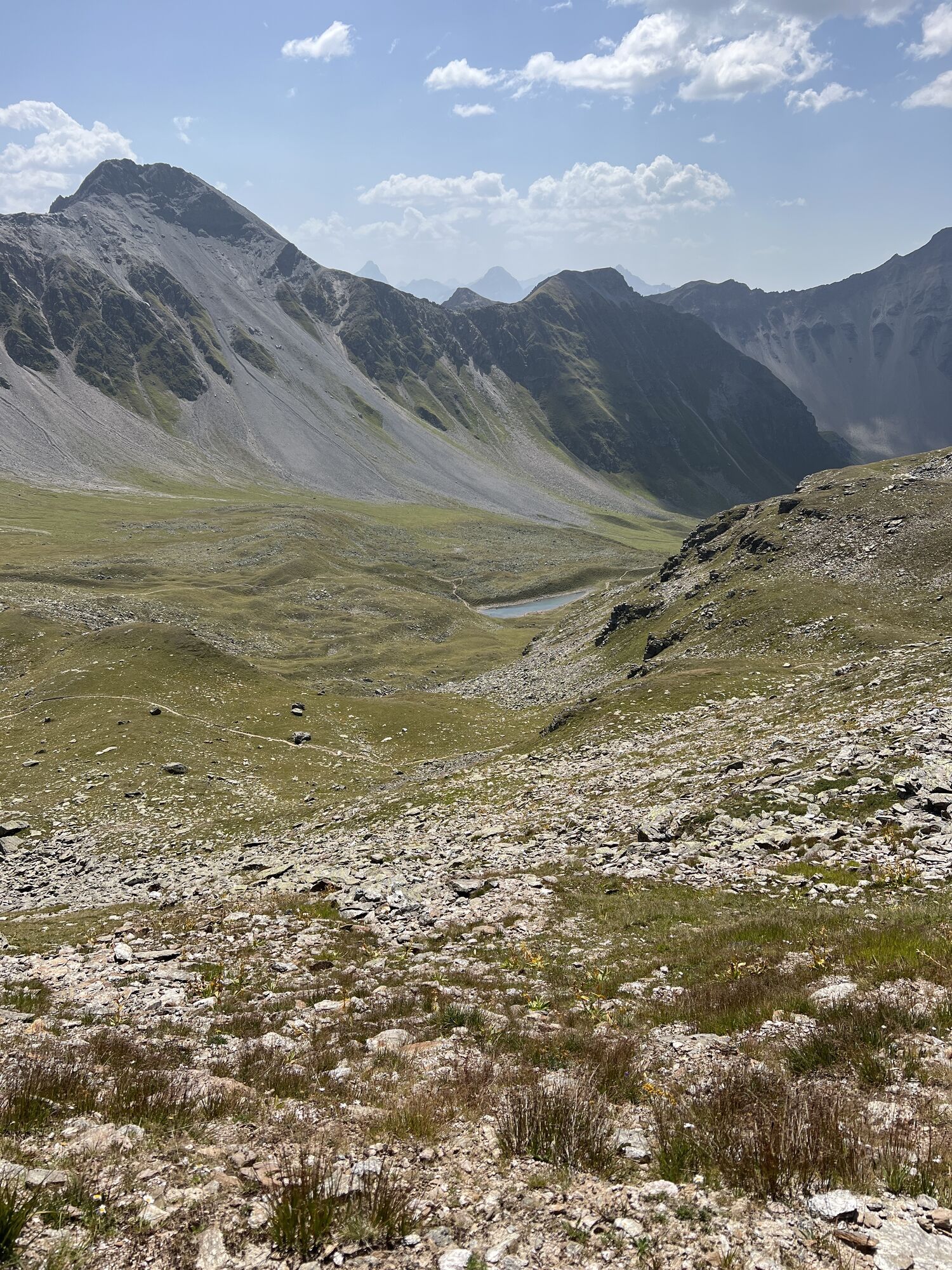
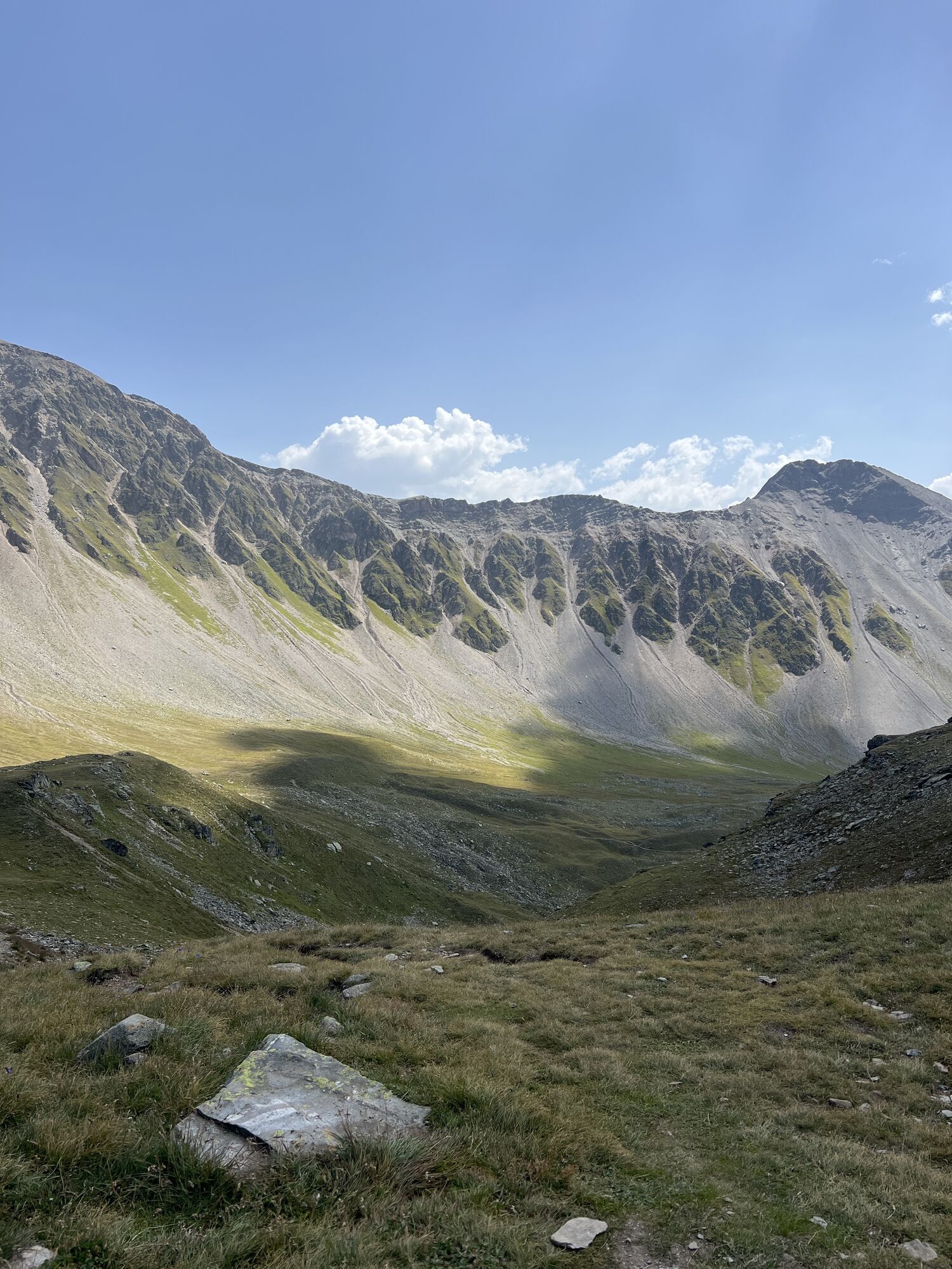
The challenging tour starts in Arosa with the Hörnli-Express, which takes the gondola to Hörnli and the underground railway to Lenzerheide. The descent to Scharmoin gives you a first taste of what awaits you on the tour. The Rothornbahn takes you to the summit and the very demanding descent to Alp Sanaspans starts immediately. Now you have to bike on your back and walk up to Culmet for about 1.5 hours. The landscape is so breathtakingly beautiful that the walk is only half as bad. At the top there's a challenging descent before the bike has to be carried up to the Furcletta Pass for another 20 minutes. Now it finally starts, trail fun without end through the enchanted Welschtobel which is hard to beat in versatility. On the way you will find the SAC Ramozhütte. If you want to relax, you can also stay overnight in this hut and soak up the peace and quiet of the valley all evening long. Trailgiri riders continue to the Isla where at the end a small but crisp exit back to Arosa awaits you.

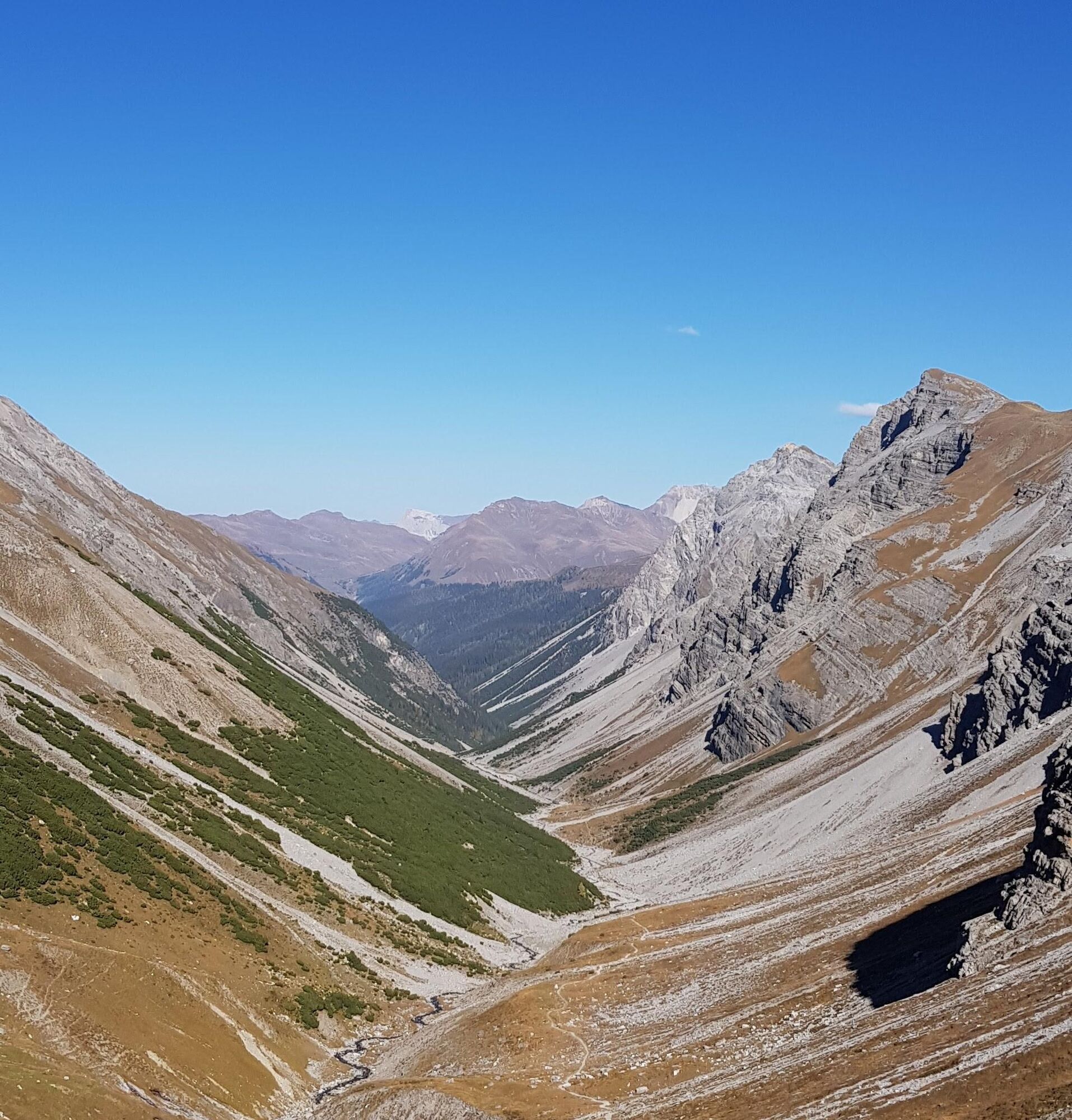

The challenging tour starts in Arosa with the Hörnli-Express, which takes the gondola to Hörnli and the underground railway to Lenzerheide. The descent to Scharmoin gives you a first taste of what awaits you on the tour. The Rothornbahn takes you to the summit and the very demanding descent to Alp Sanaspans starts immediately. Now you have to bike on your back and walk up to Culmet for about 1.5 hours. The landscape is so breathtakingly beautiful that the walk is only half as bad. At the top there's a challenging descent before the bike has to be carried up to the Furcletta Pass for another 20 minutes. Now it finally starts, trail fun without end through the enchanted Welschtobel which is hard to beat in versatility. On the way you will find the SAC Ramozhütte. If you want to relax, you can also stay overnight in this hut and soak up the peace and quiet of the valley all evening long. Trailgiri riders continue to the Isla where at the end a small but crisp exit back to Arosa awaits you.
Suitable for all-mountain, touring and enduro bikes
Very difficult descents, the tour is only possible for experienced bikers.
By car to Arosa and in the Ochsenbüel multi-storey car park there are plenty of parking spaces available.
Arrival with the Rhaetian Railway to Arosa, from there the tour starts immediately.
Ochenbüel multi-storey car park
Die anspruchsvolle Tour startet in Arosa beim Hörnli-Express wobei es mit der Gondel zum Hörnli und mit der Urdenbahn nach Lenzerheide geht. Die Abfahrt bis nach Scharmoin gibt schon einen ersten Vorgeschmack was euch auf der Tour erwartet. Mit der Rothornbahn gehts nun zum Gipfel und gleich startet die sehr anspruchsvolle Abfahrt bis zur Alp Sanaspans. Nun heisst, es Bike auf den Rücken und ca. 1.5 Stunden hoch bis zu Culmet laufen. Die Landschaft ist so atemberaubend schön, dass der Fussmarsch nur halb so schlimm ist. Oben angekommen gibt's als erstes Zückerchen eine anspruchsvolle Abfahrt bevor das Bike nochmals ca. 20 Minuten bis zum Furcletta Pass hochgetragen werden muss. Nun gehts endlich los, Trailspass ohne Ende durch das verzauberte Welschtobel welche an Vielseitigkeit kaum zu toppen ist. Auf dem Weg findet ihr die SAC Ramozhütte. Wers gemütlich nimmt, kann auch in dieser Hütte übernachten und die Ruhe des Tals den ganzen Abend lang aufsaugen. Trailgirige Fahrer düsen weiter bis zur Isla wo zum Schluss ein kleiner aber knackiger Ausstieg zurück nach Arosa auf euch wartet.
Those who do the tour for the first time should really enjoy it and spend the night in the Ramozhütte. The landscape and the tranquillity are priceless.
Kamery internetowe z trasy
-
Waldstafel
-
Lenzerheide - Urdenfürggli
-
Lenzerheide - Parpaner Rothorn
-
Lenzerheide - Alp Stätz
-
Arosa - Tschuggen
-
Lenzerheide - Talstation Rothorn
-
Lenzerheide Biathlon Arena
-
Tschiertschen - Alp Farur
-
Hühnerköpfe - Bergrestaurant
-
Hühnerköpfe - Bergrestaurant
-
Arosa - Bärenland
-
Arosa - Weisshorn
-
Arosa - Dorf
-
Arosa - Alp Maran
-
Alp Maran - Golfhaus Arosa
-
Lenzerheide Dorf
-
Lenzerheide - Heimberg
-
Lenzerheide - Heidbüel
-
Hühnerköpfe - Bergrestaurant
-
Wassersportzentrum Heidsee
-
Wassersportzentrum Heidsee
-
Arosa - Brüggerhorn
Popularne wycieczki w okolicy
-
3,9
Arosa-Medergen-Tritt-Latschüelfurgga-Strelapass-Davos
średniWędrówka 22,5 km -
Arosa-Schwellisee-Älplisee-Parpaner Rothorn
Wędrówka 12,3 km -
4,7
Arosa-Hörnli-Parpaner Rothorn-Lenzerheide
Wędrówka 11,9 km -
5,0
Arosa-Hörnli-Urdenfürrgli-Alp Scharmoin-Lenzerheide
średniWędrówka 15,3 km -
5,0
Eichhörnliweg Arosa
światłoTrasa tematyczna 1,72 km -
2,0
Arosa-Maienfelder Furgga-Stafelalp-Davos
średniWędrówka 15,9 km -
5,0
Arosa-Erzhornsattel-Arosa
Wędrówka 14,9 km -
2,0
Arosa-Furclettapass-Alvaneu
Wędrówka 21,8 km -
5,0
767 Alteinsee Schiesshorn
średniWędrówka 11,9 km -
Prätschli-Carmennahütte
Mountainbike 6,36 km
Wędrówki i tropienie


Nie przegap ofert i inspiracji na następne wakacje
Twój adres e-mail została dodana do listy mailingowej.