







Nationalparkregion – E-Mountainbike-Route Stage 1: Scuol – Val Müstair
Poziom trudności: S2
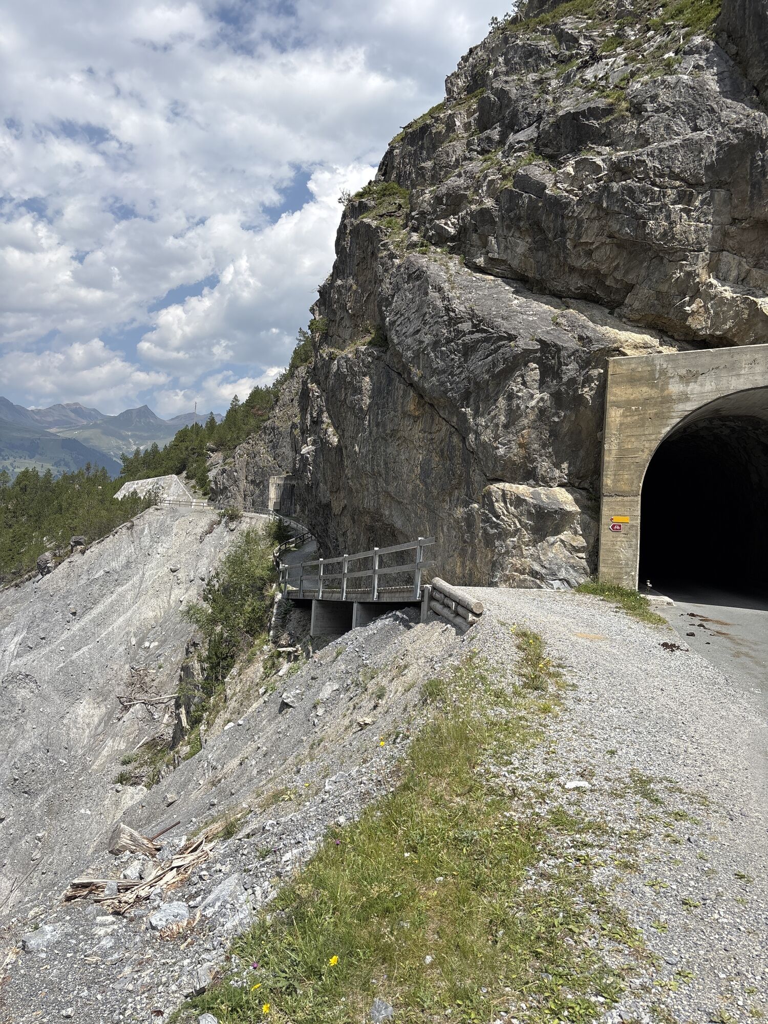
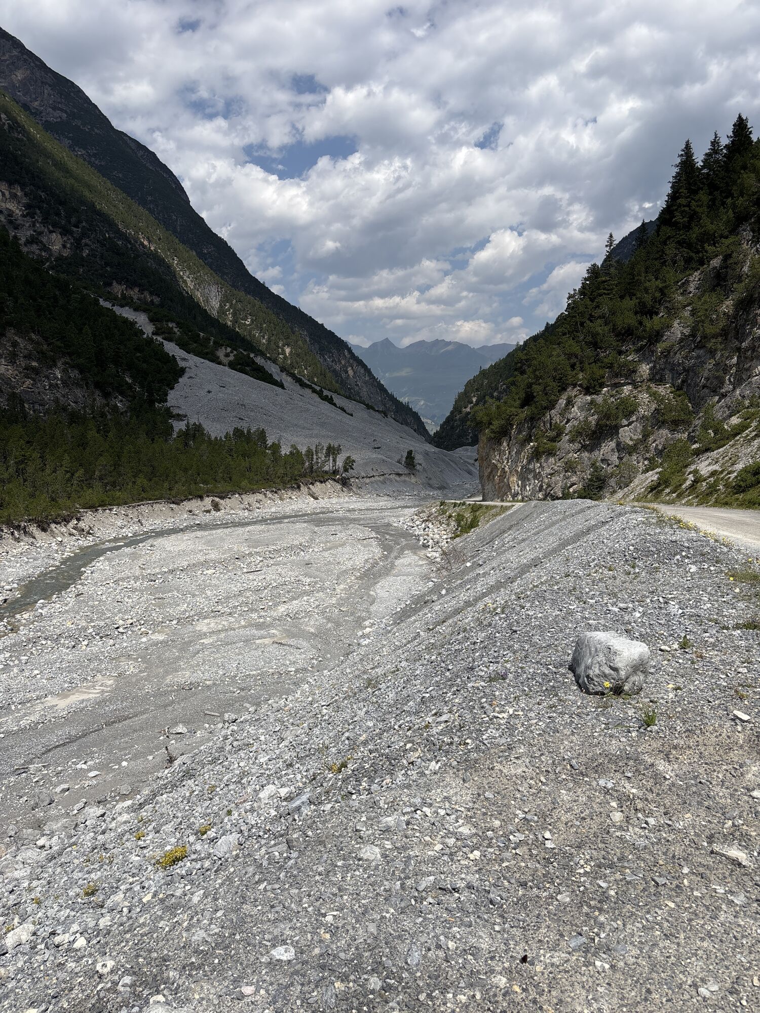
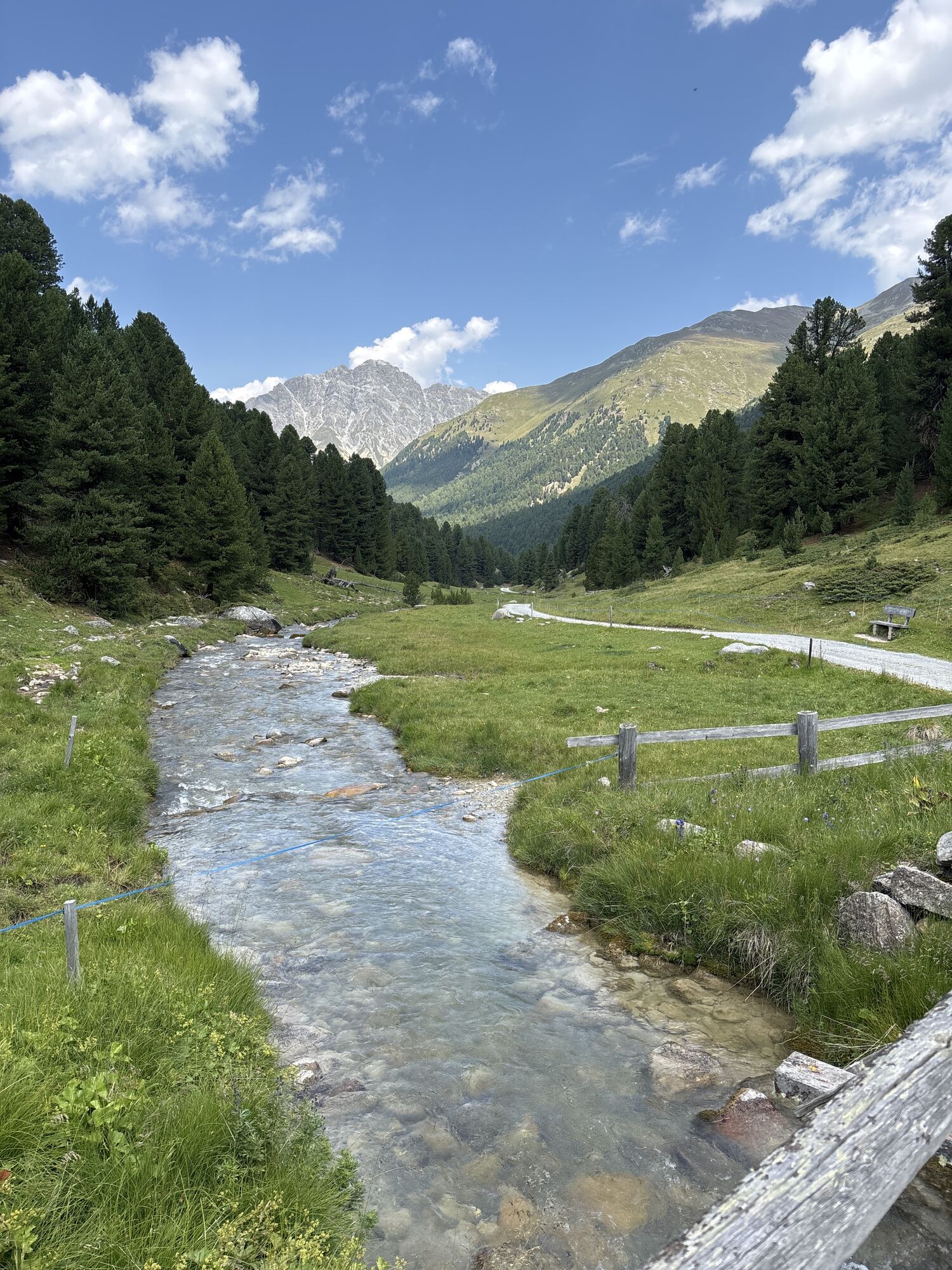
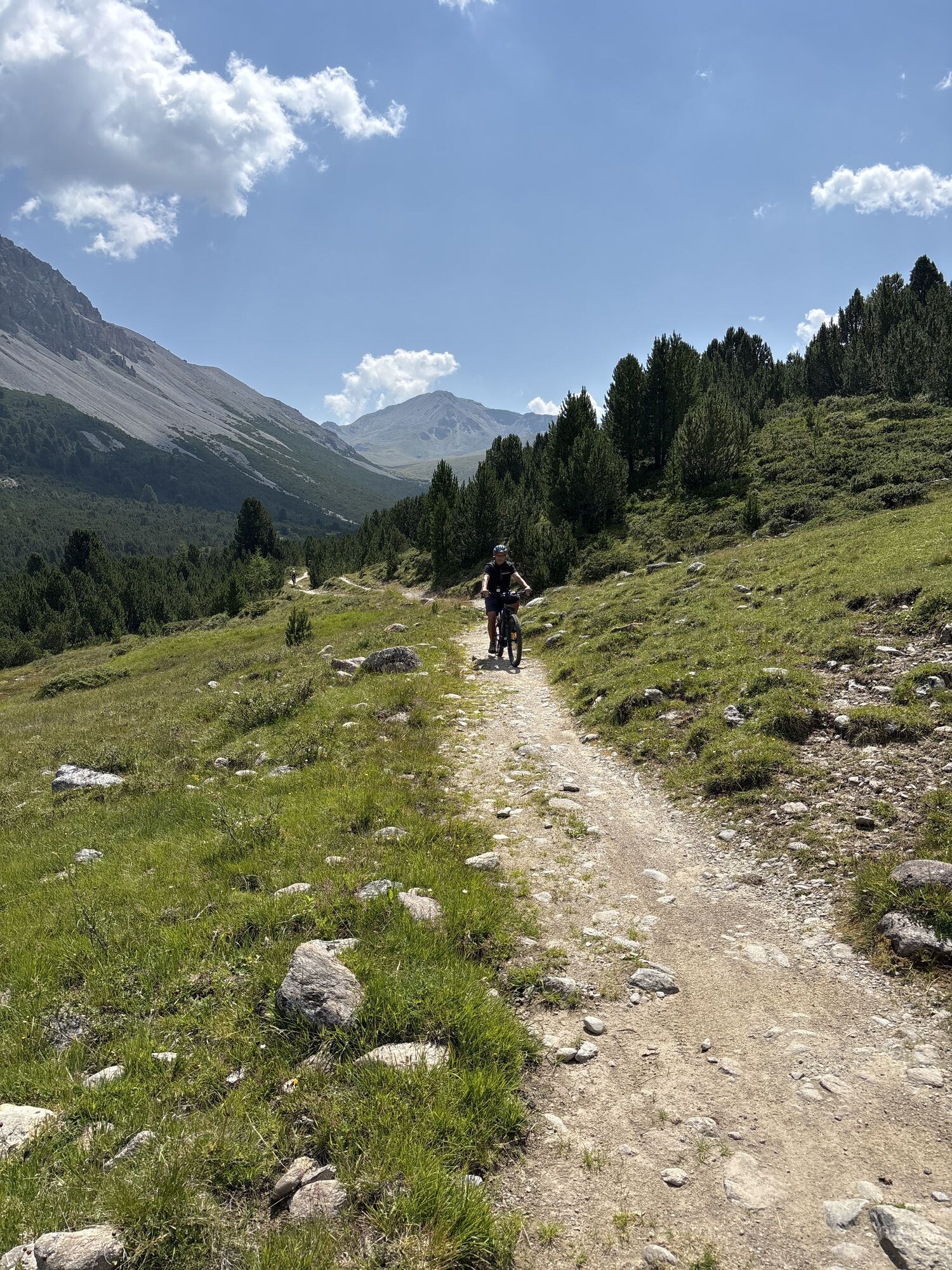
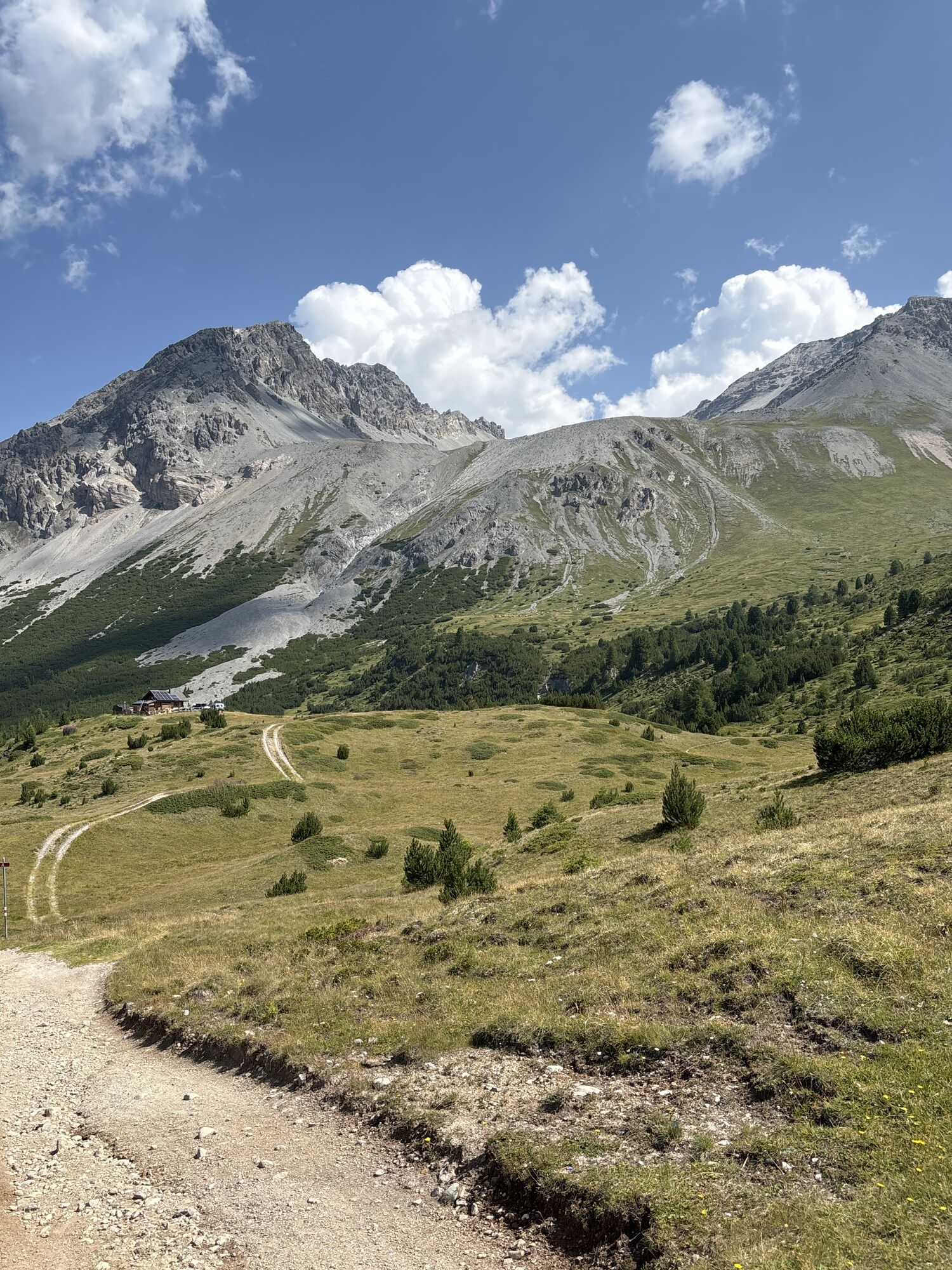
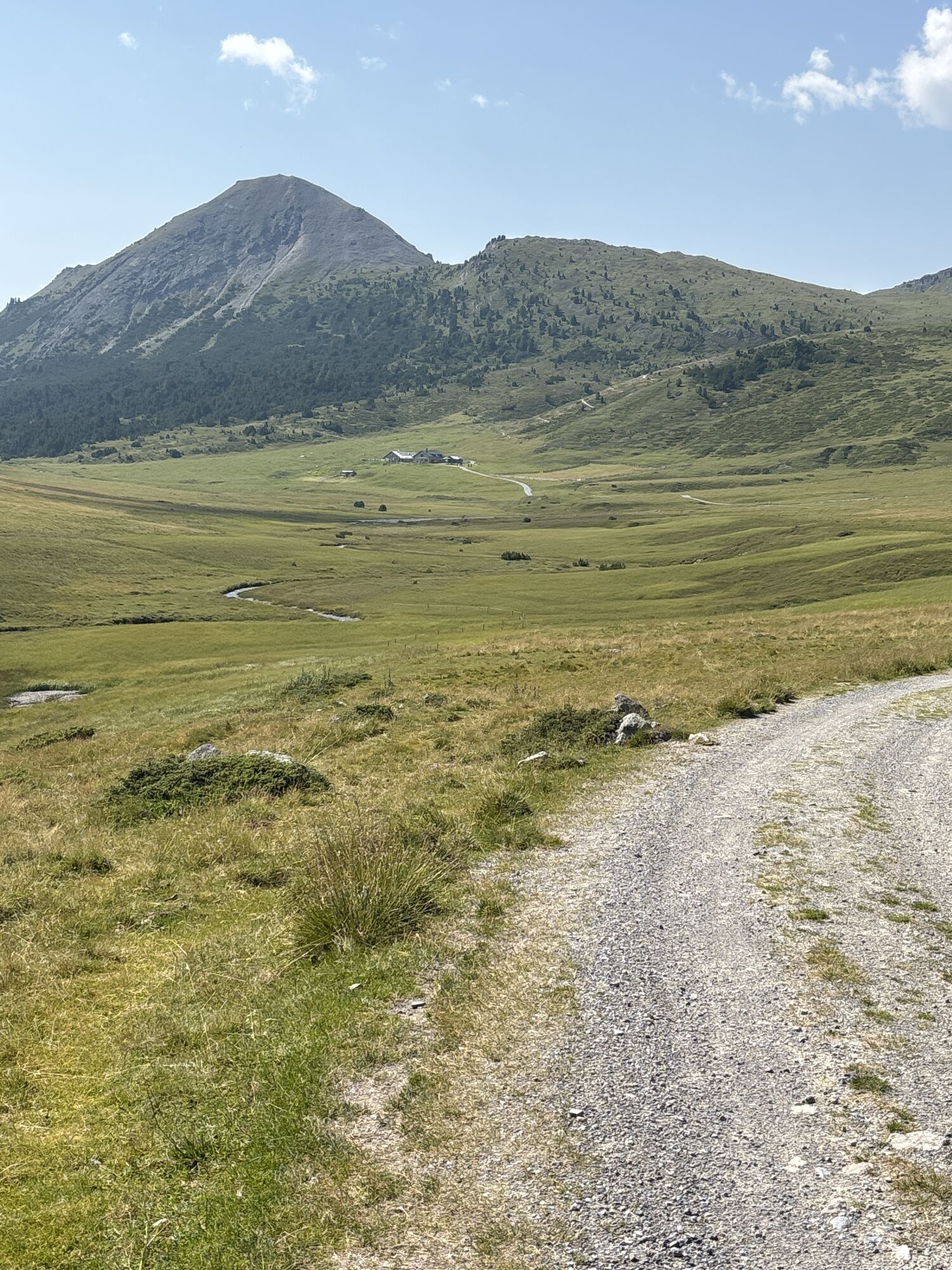
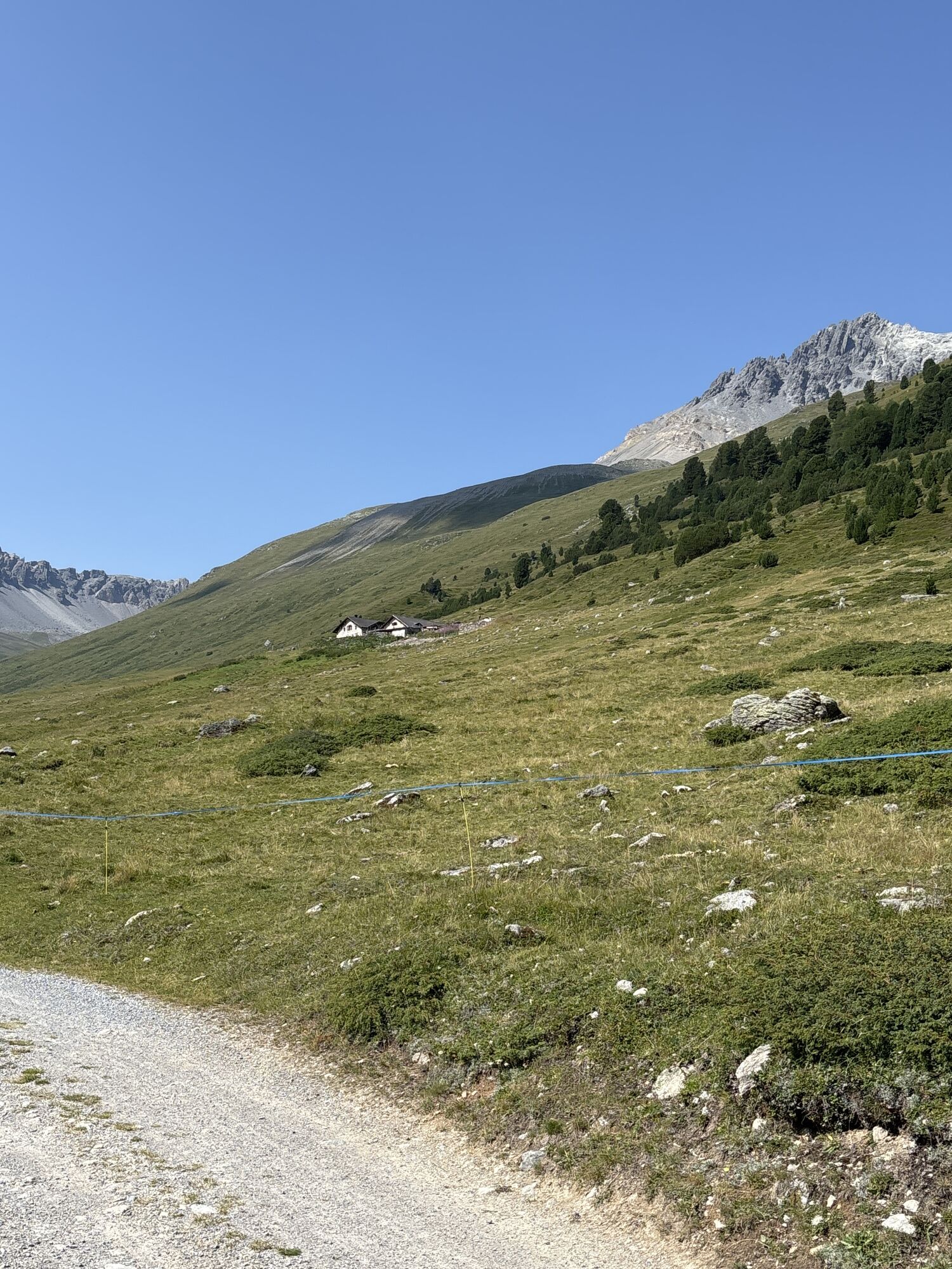
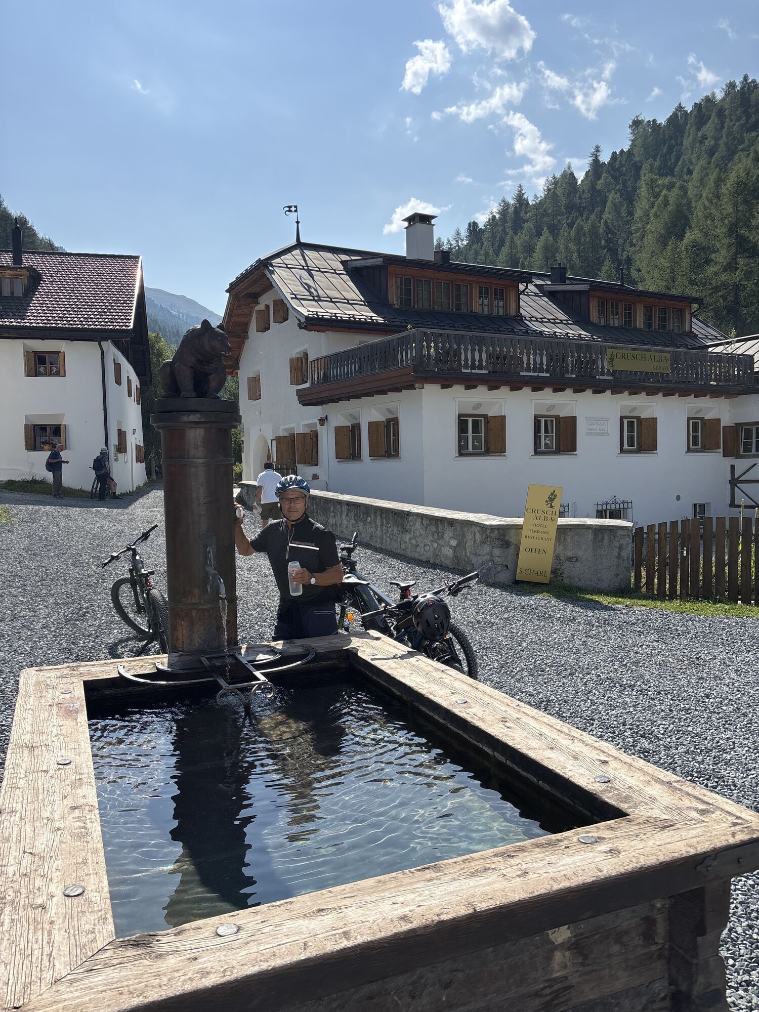

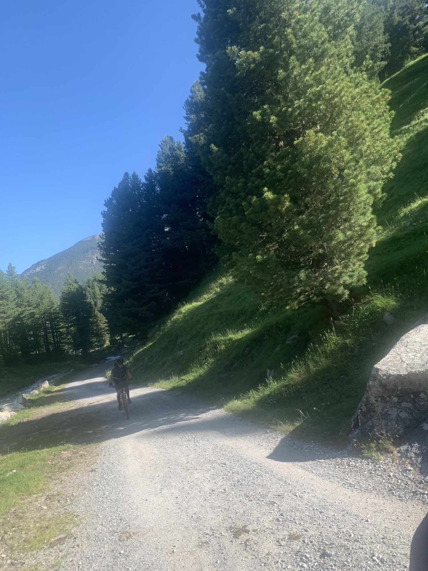
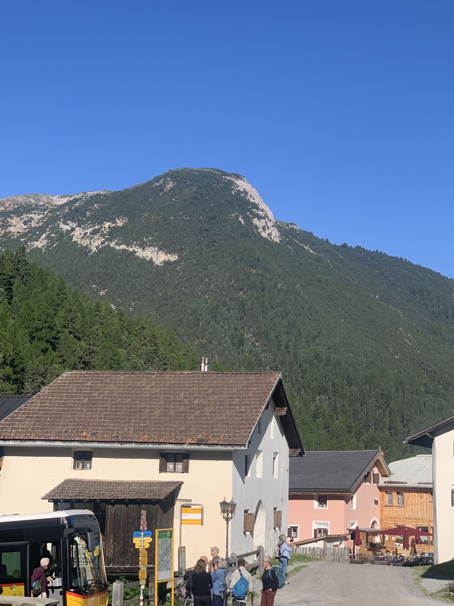
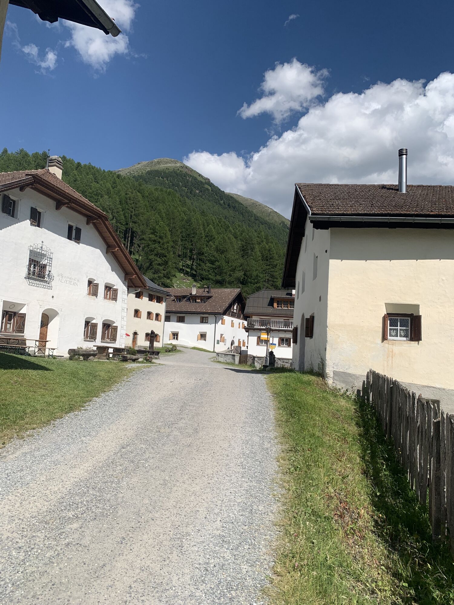
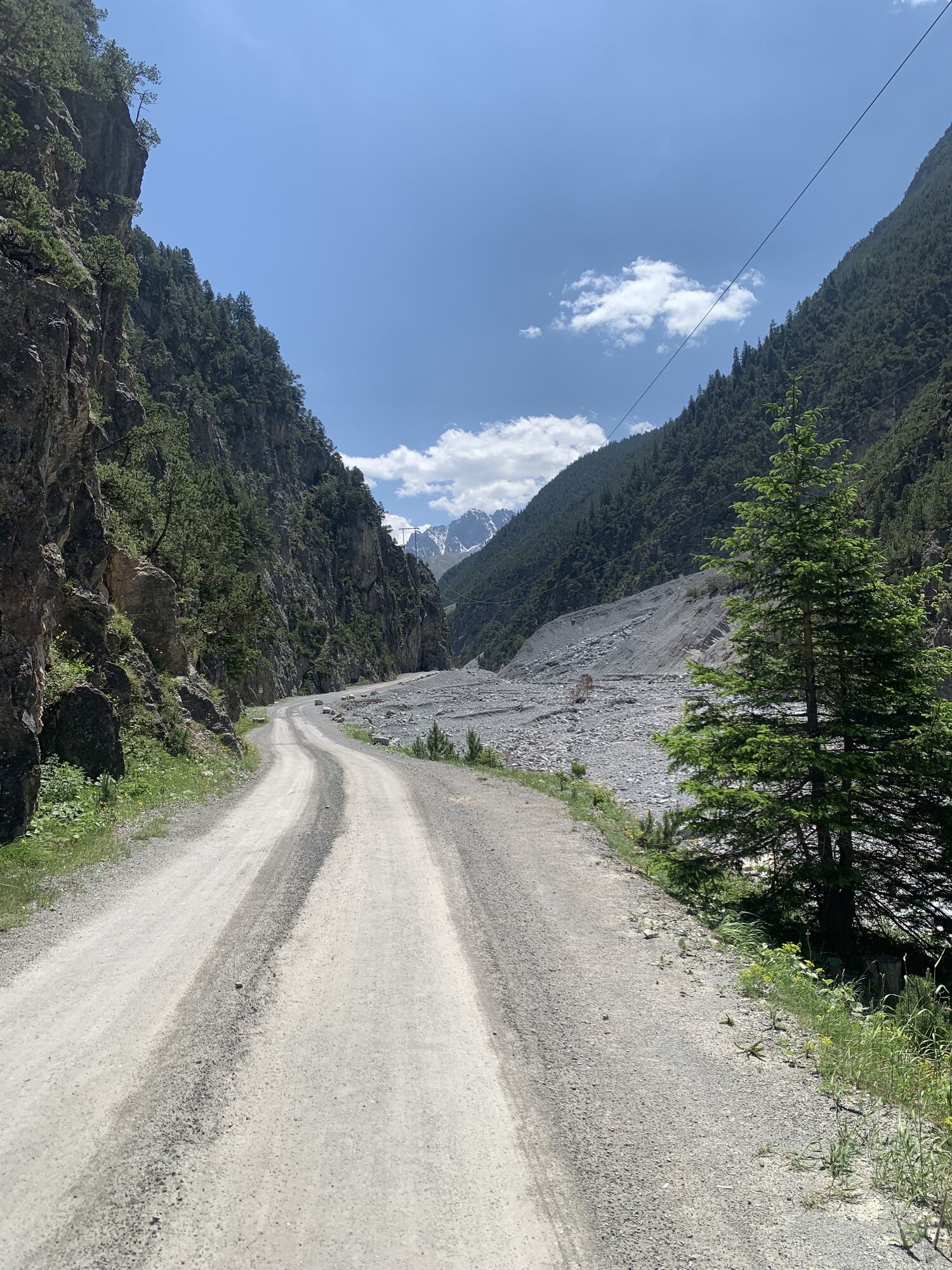
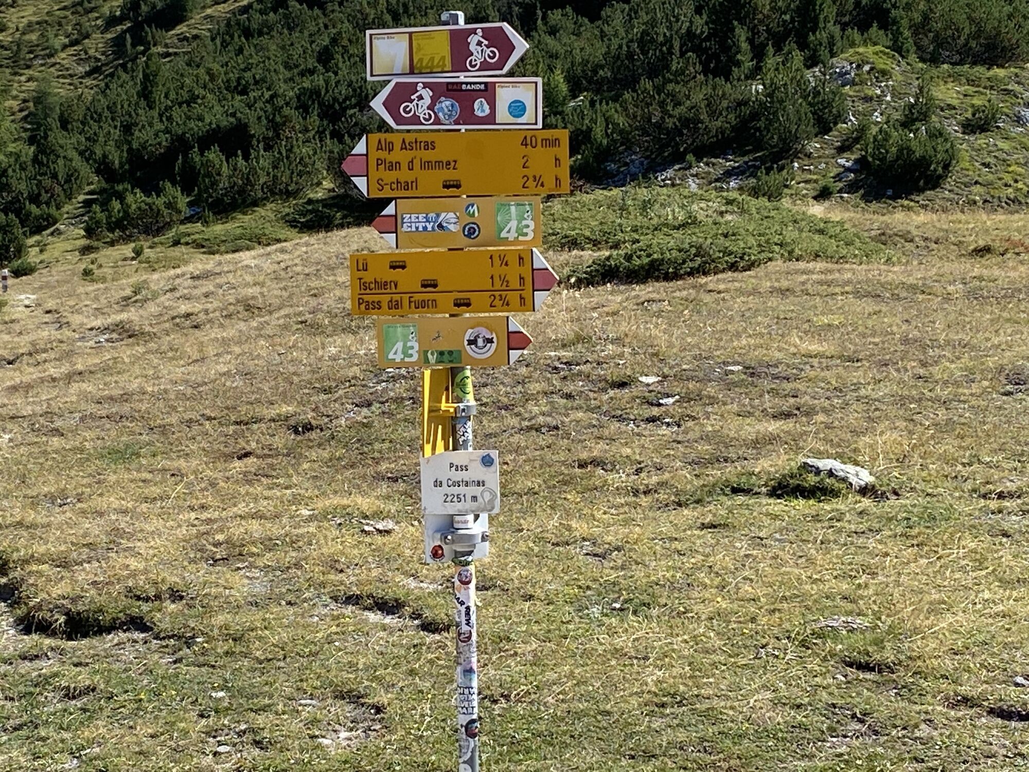
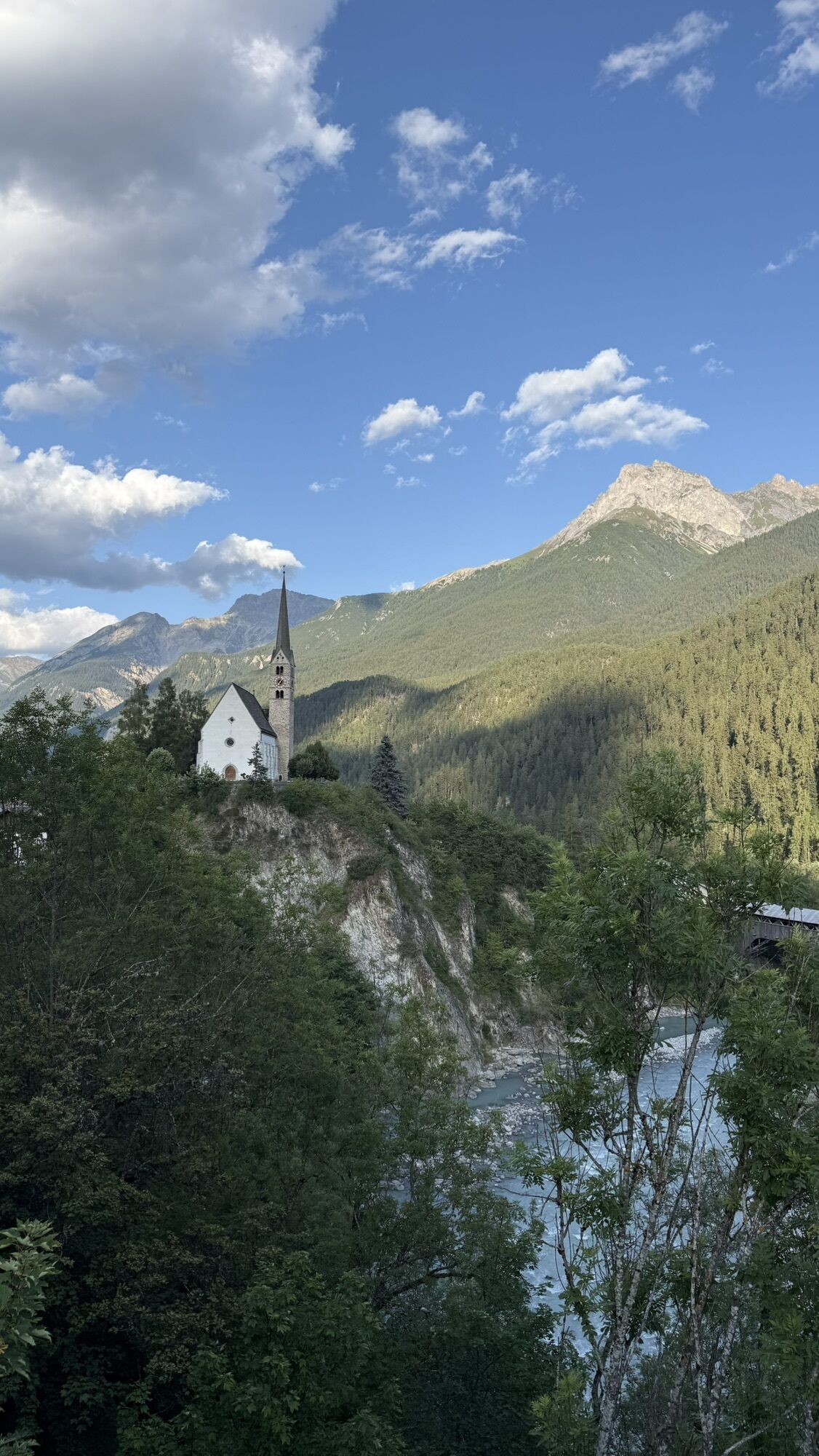
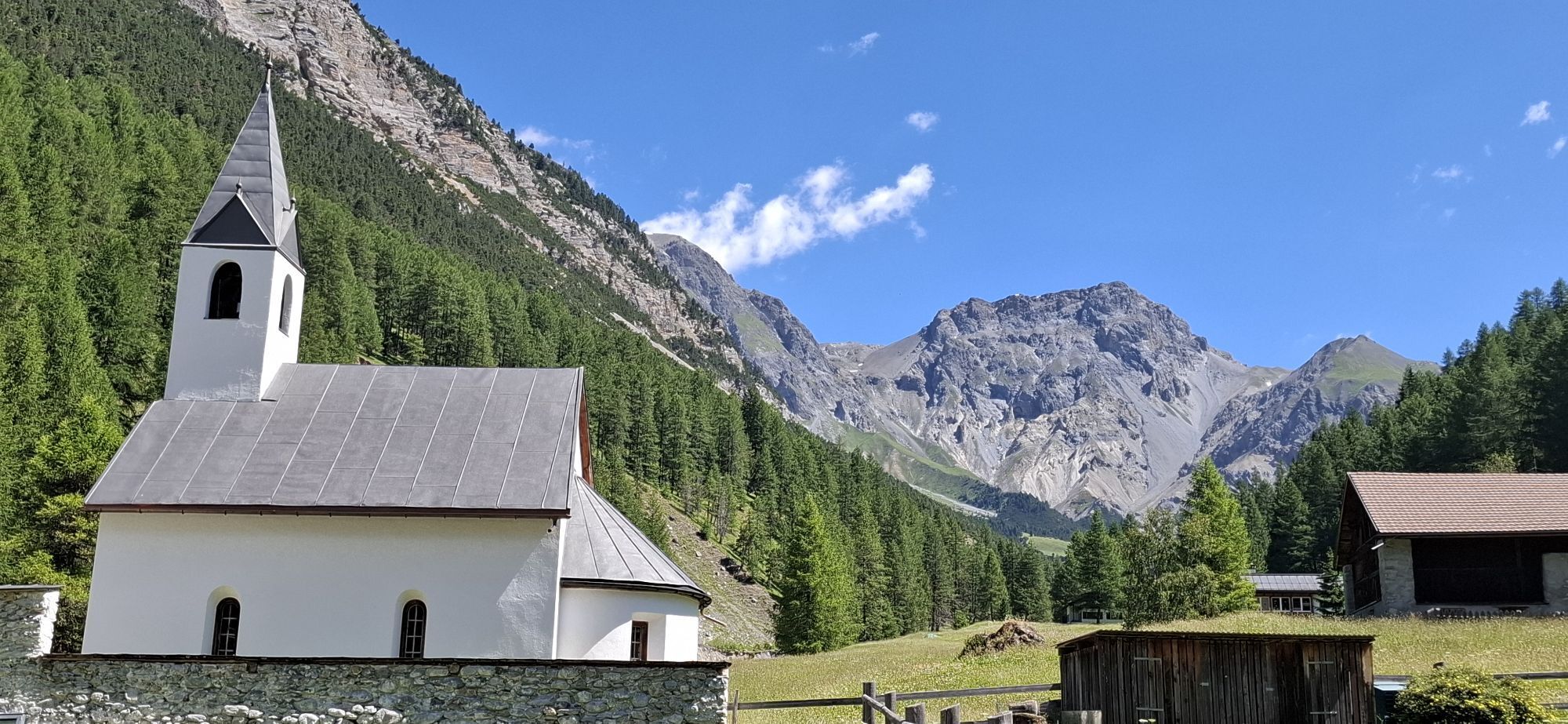
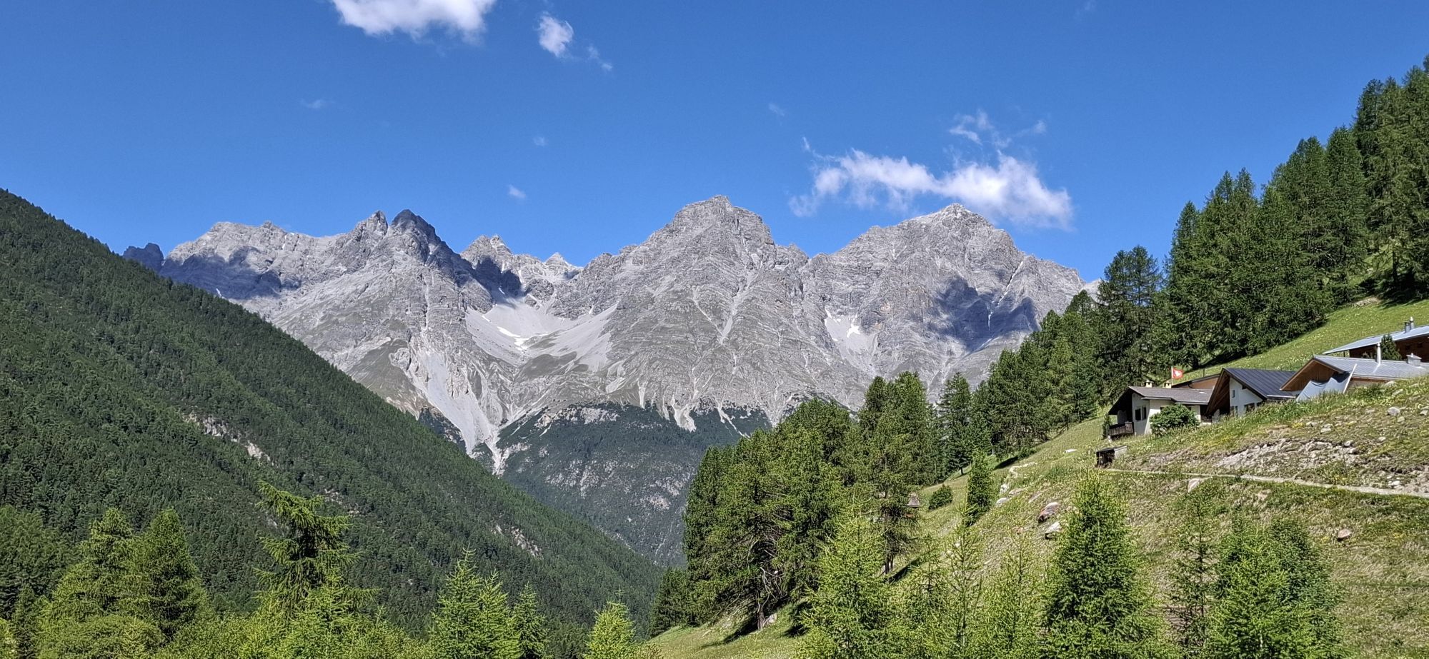
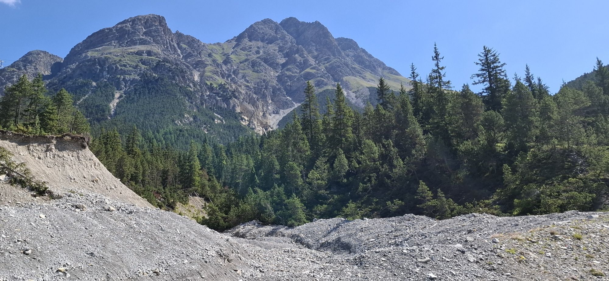
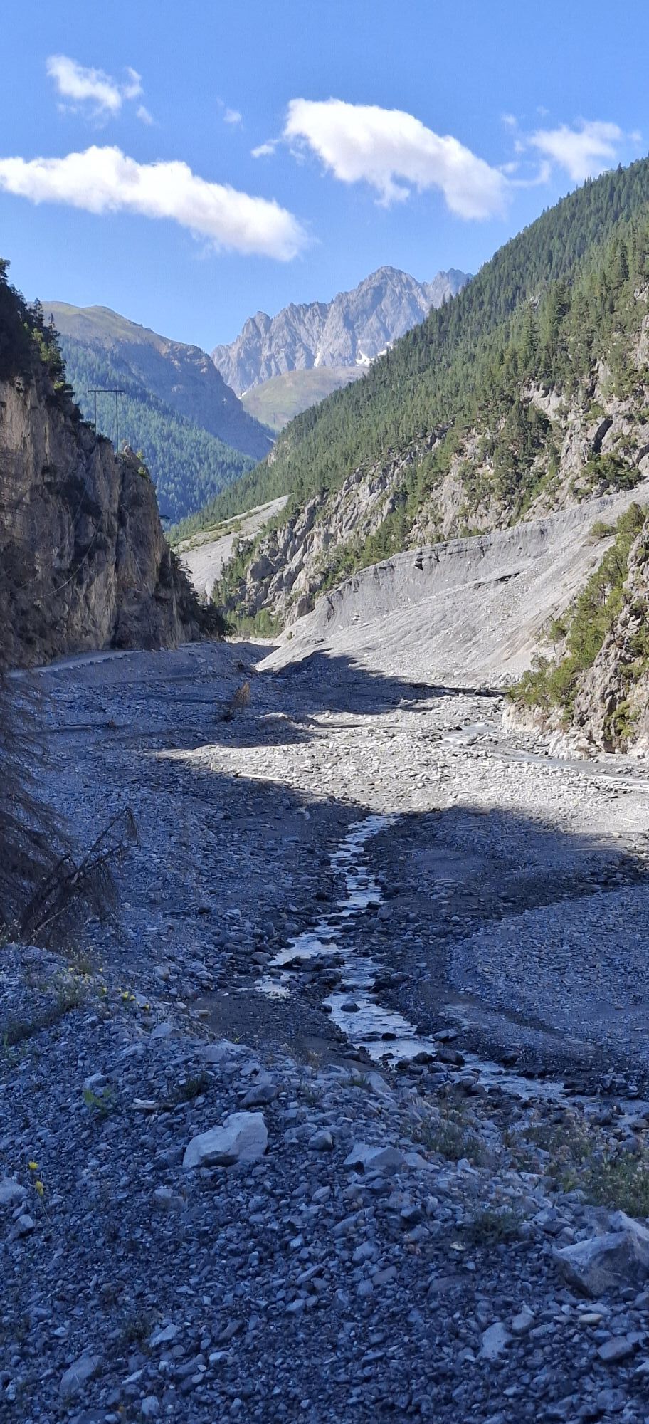
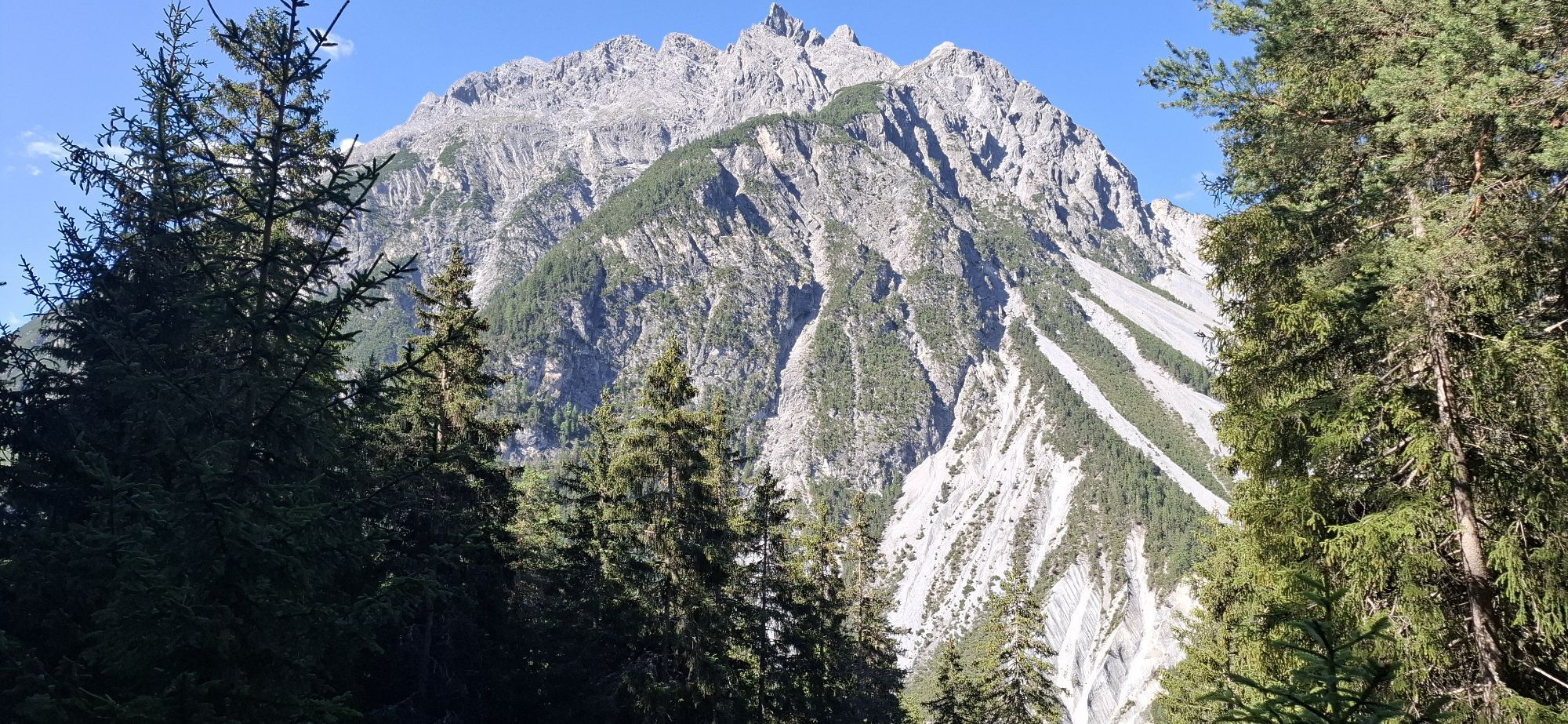
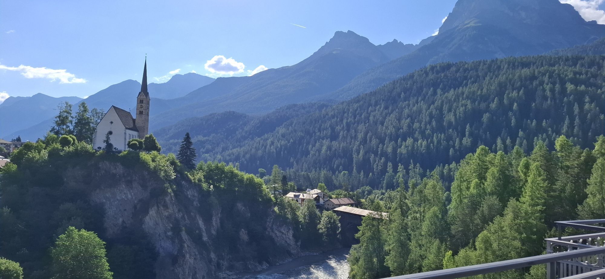
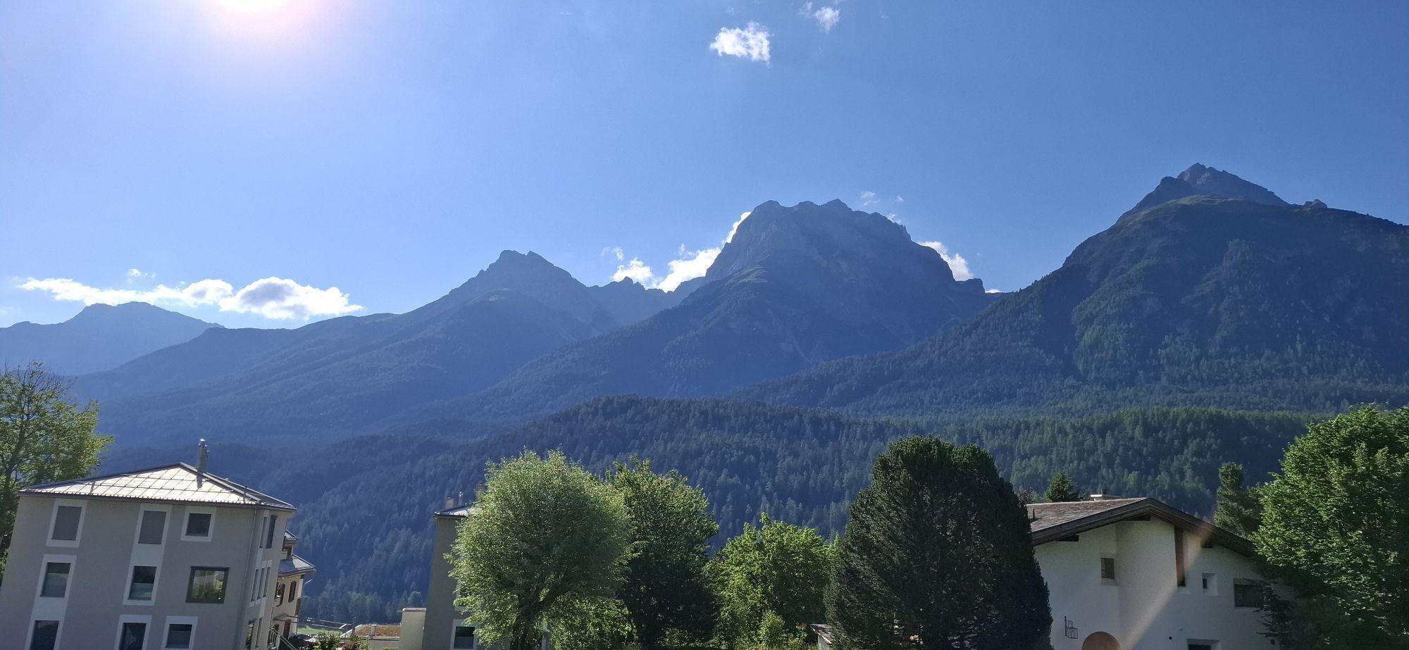
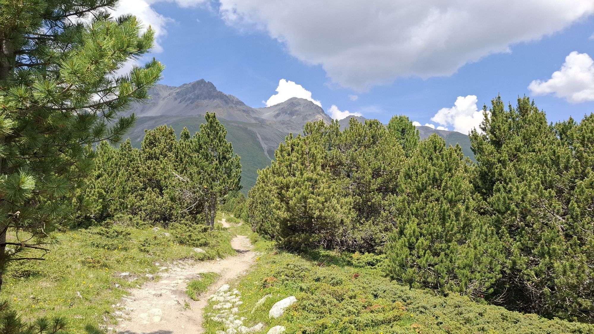
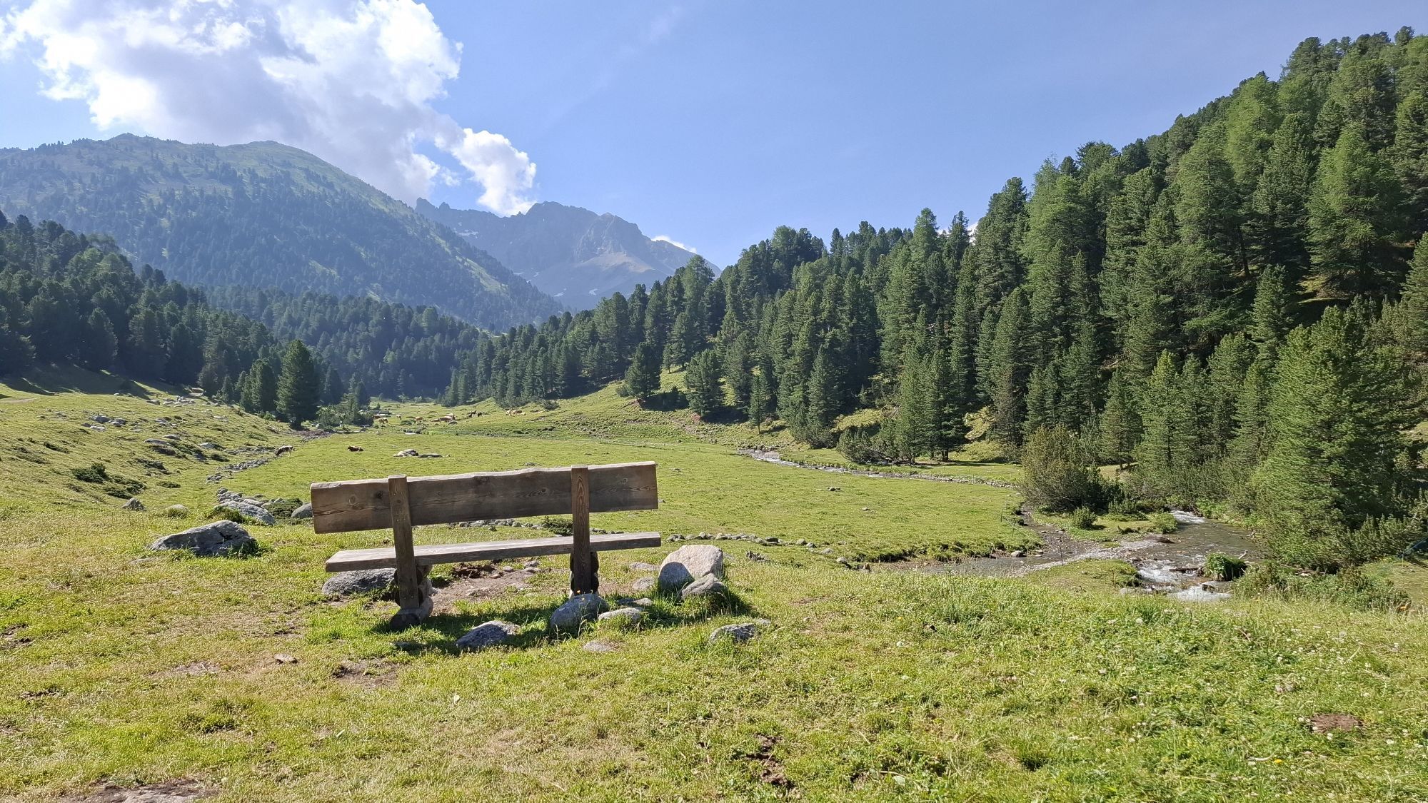
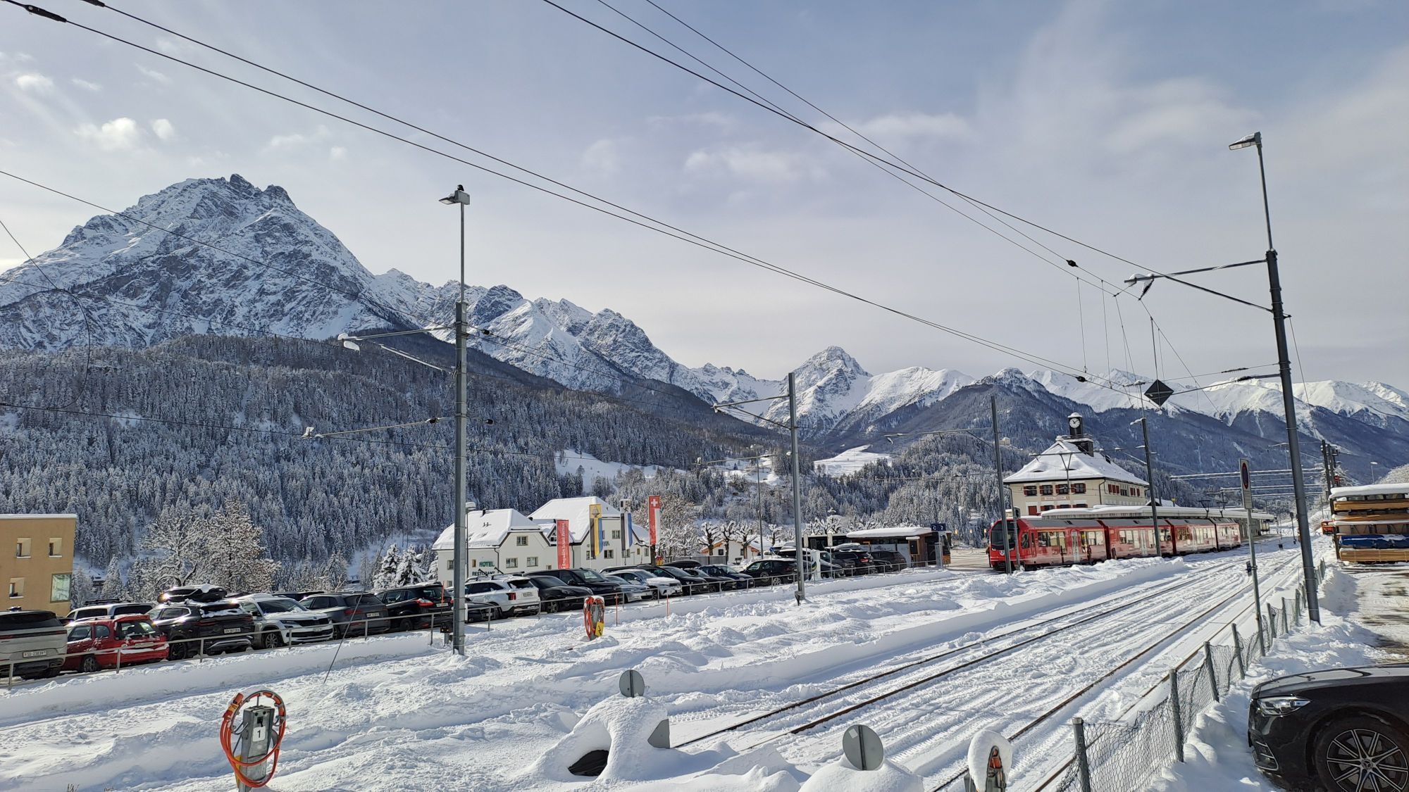
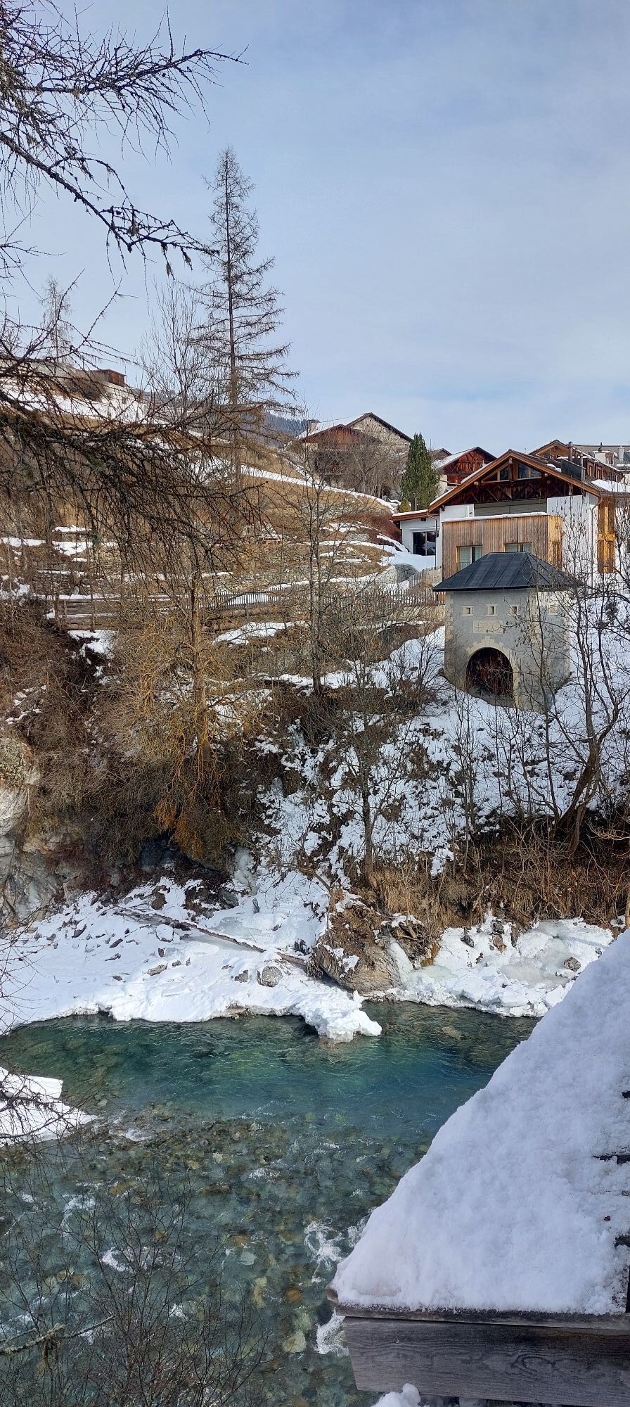
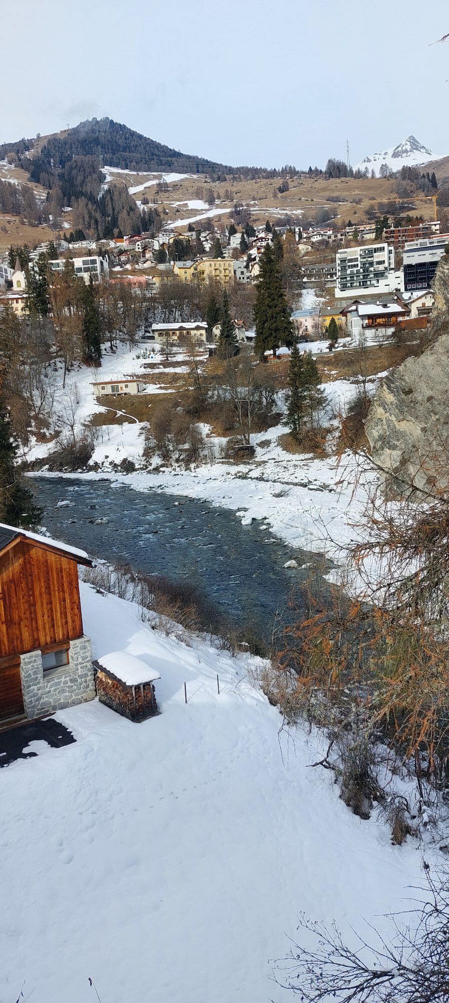
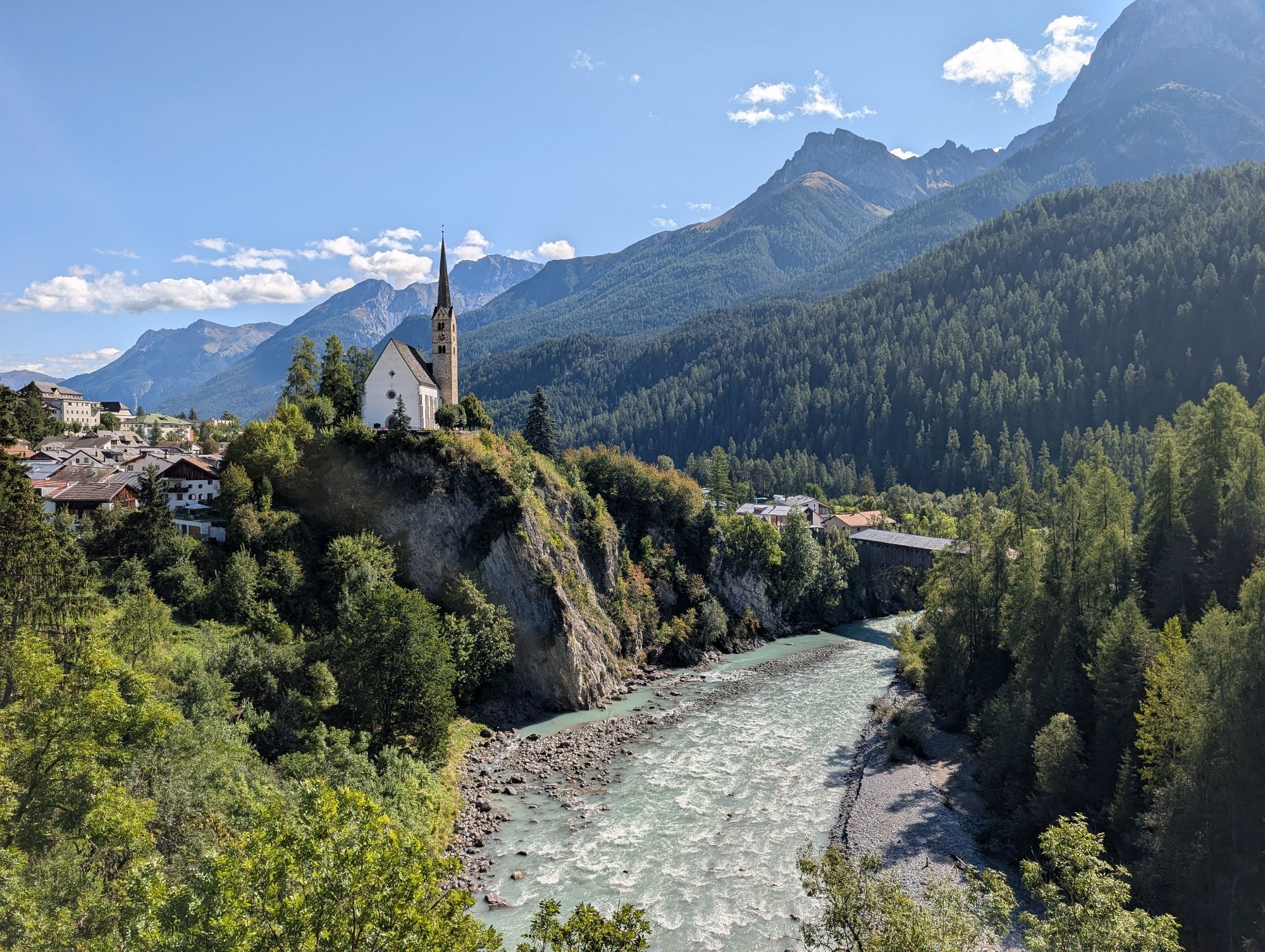
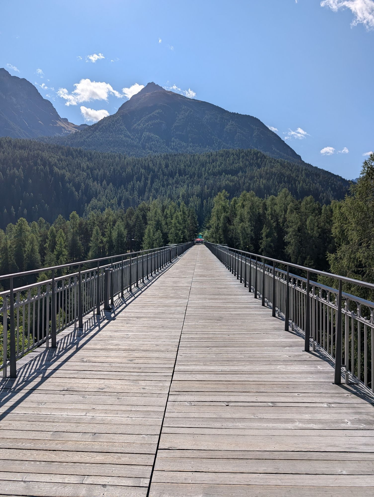

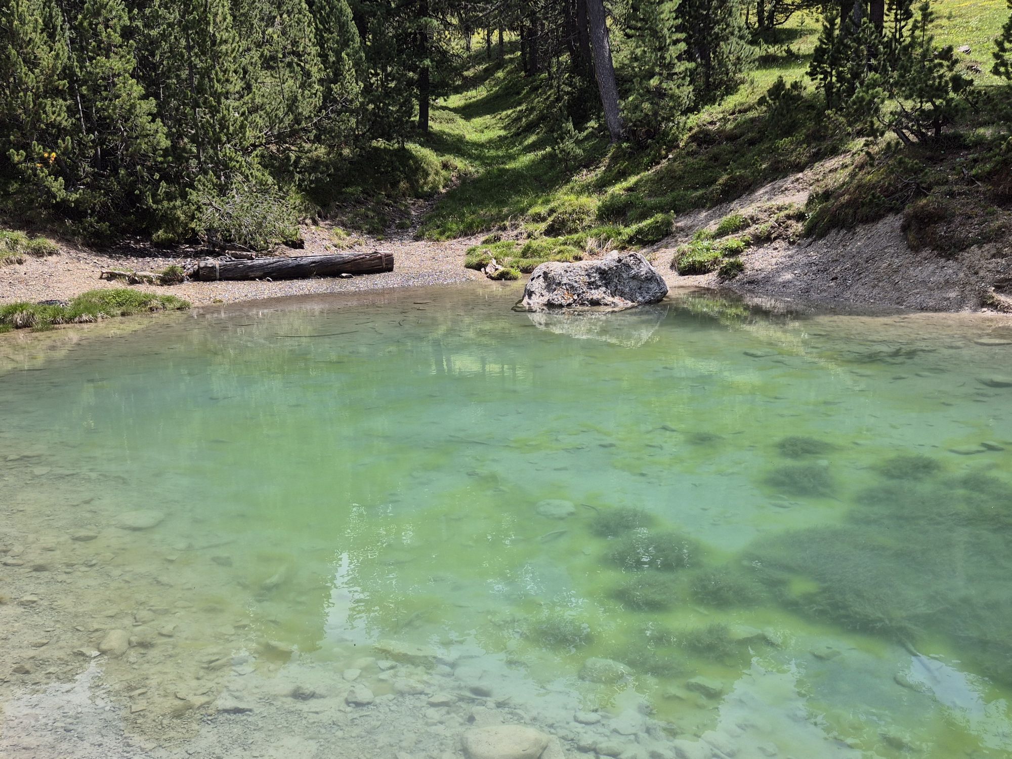
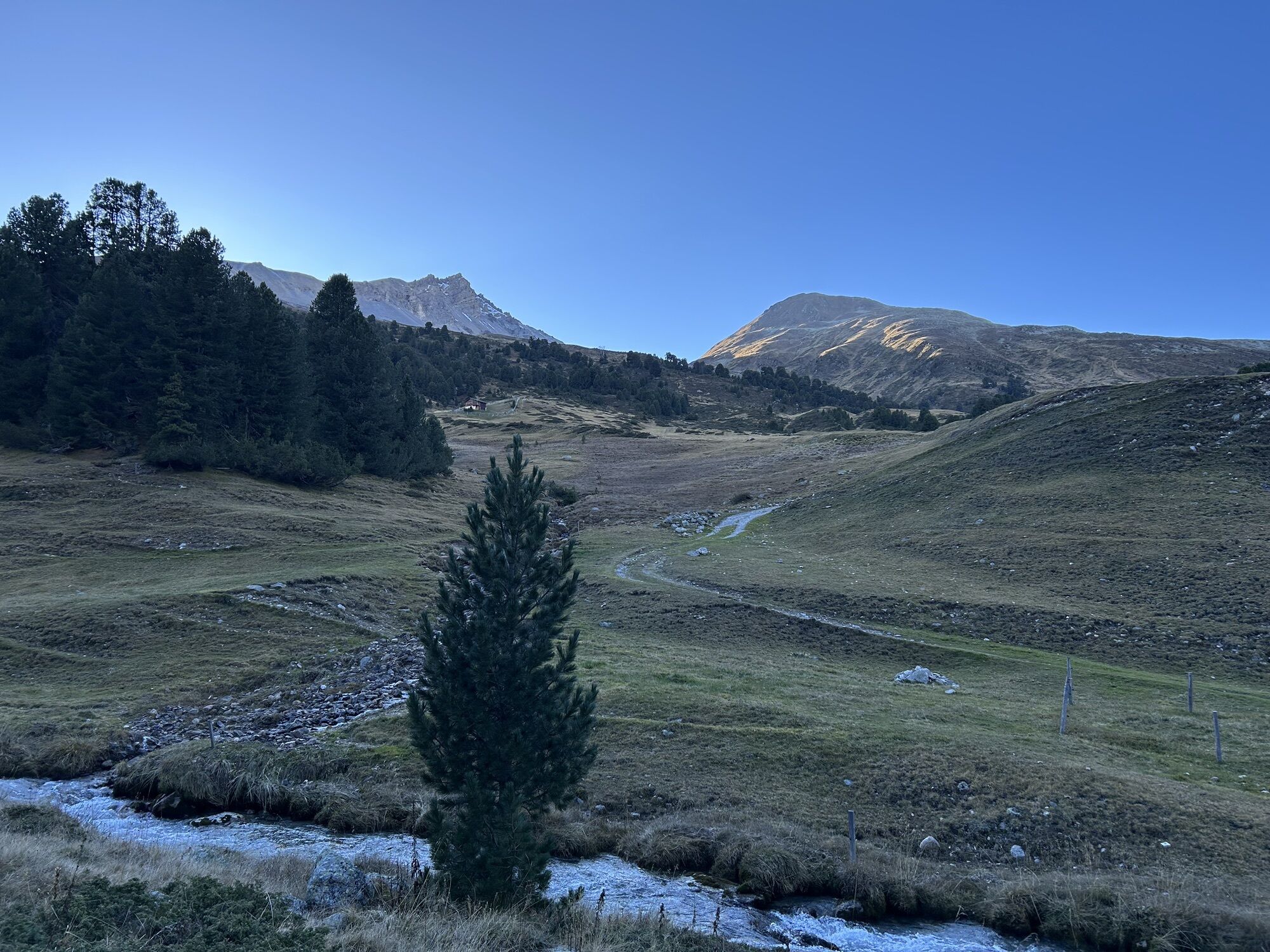
The distinctive, wild and intact natural landscape on the eastern edge of the national park impresses from the start of the route. The route connects in the shortest and probably most attractive way the...
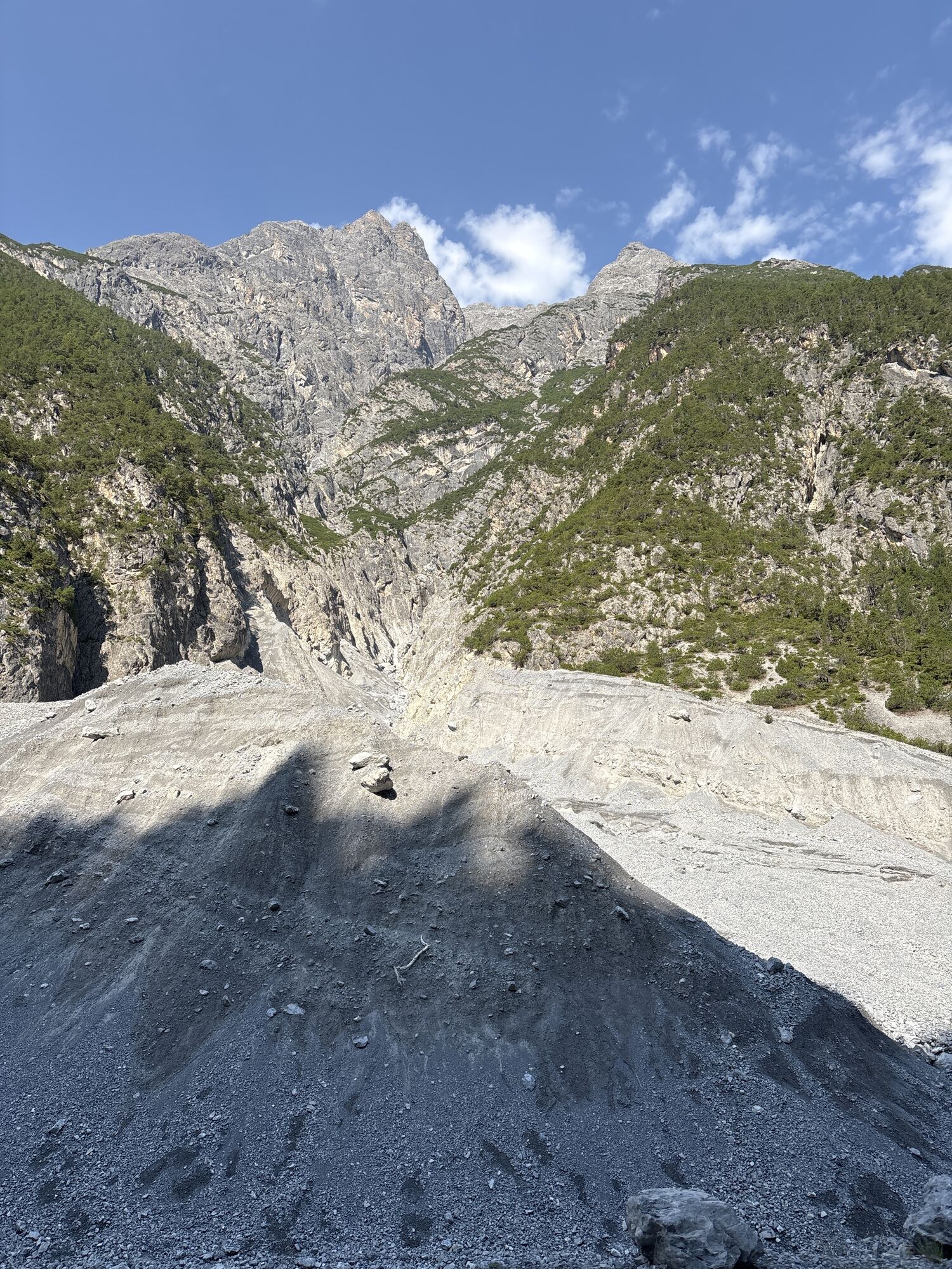
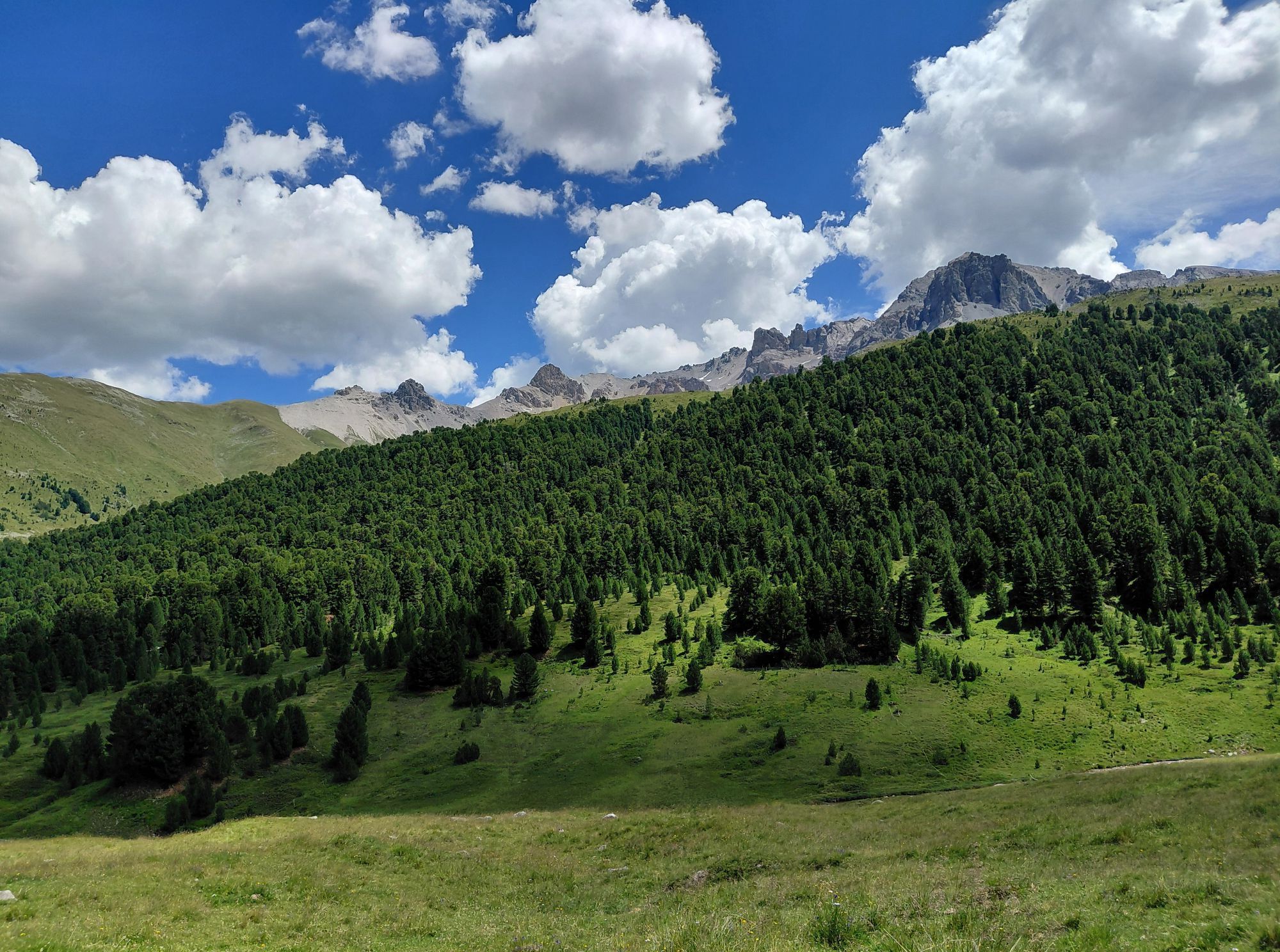
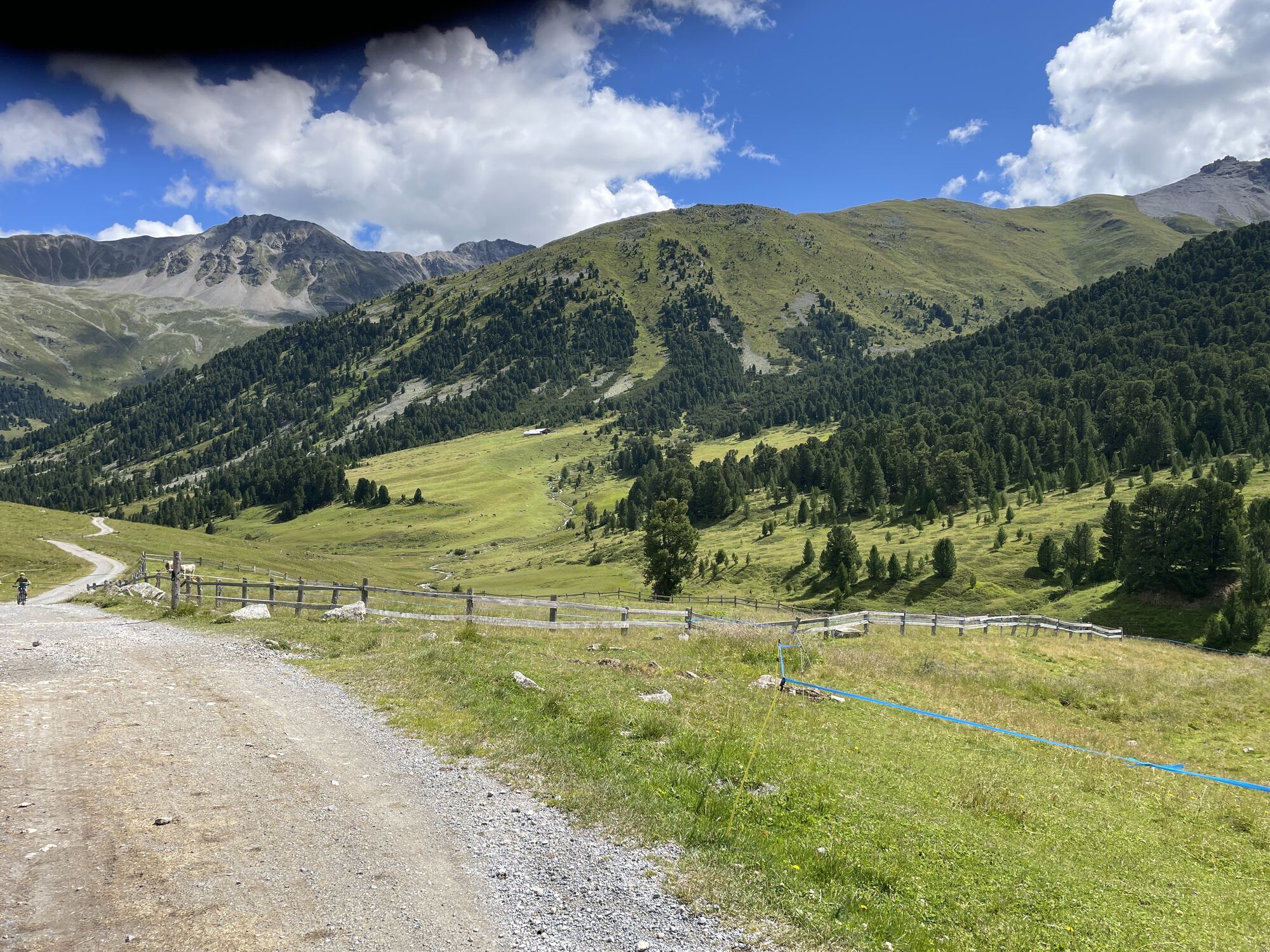
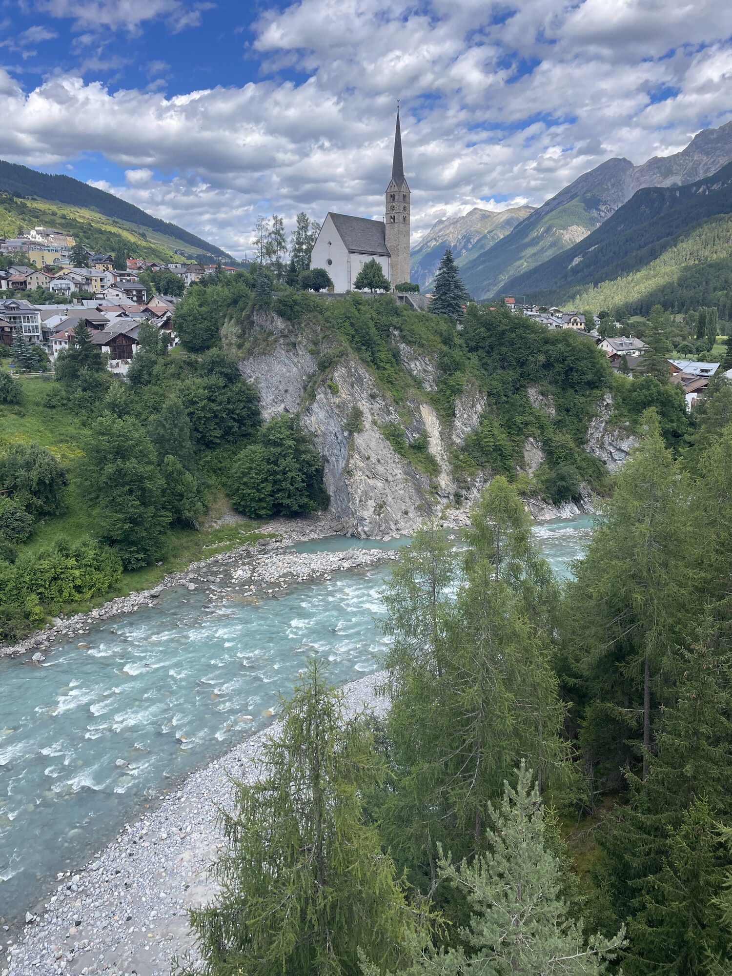
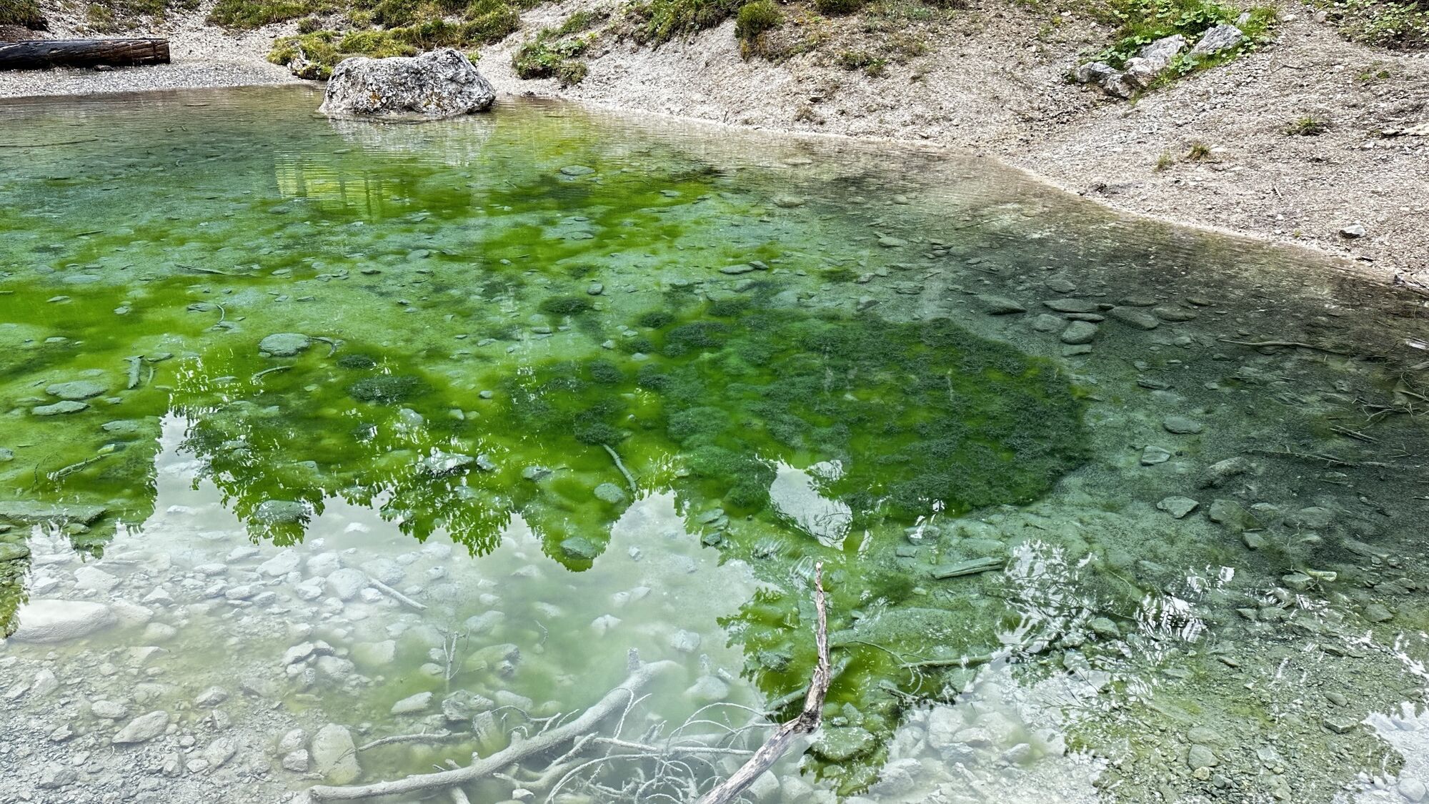
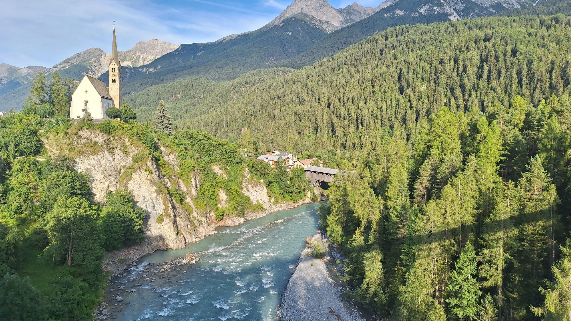
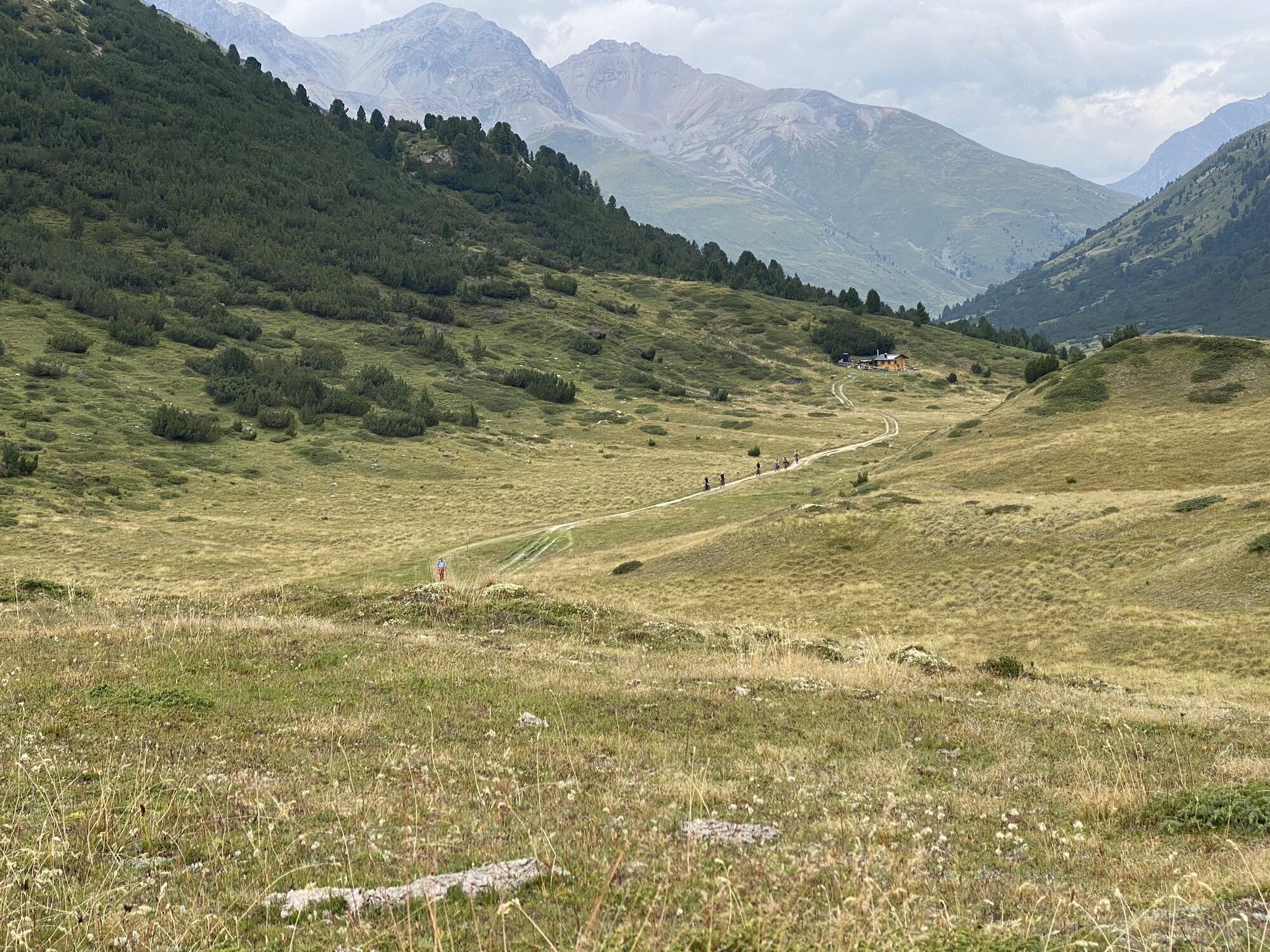
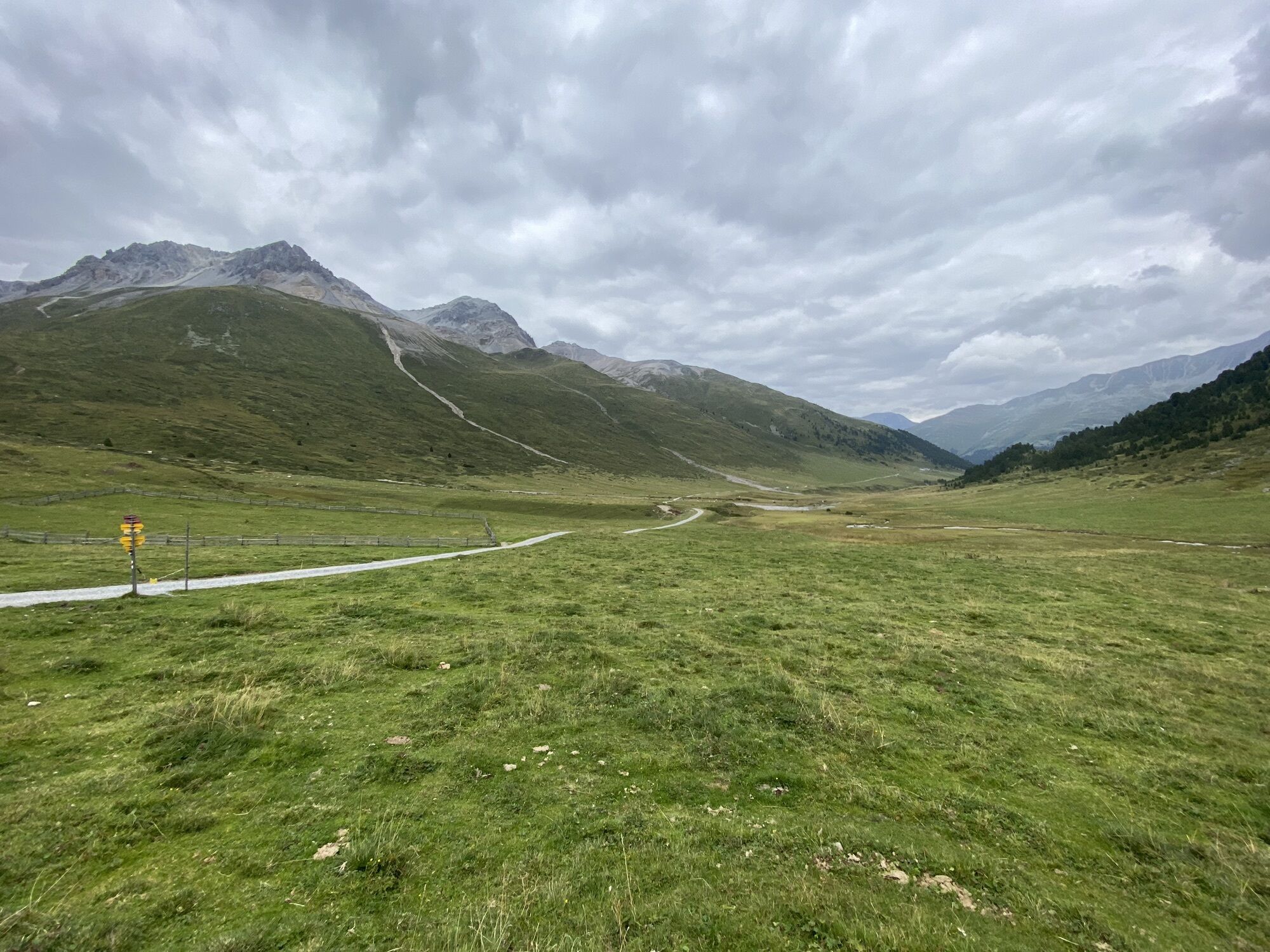
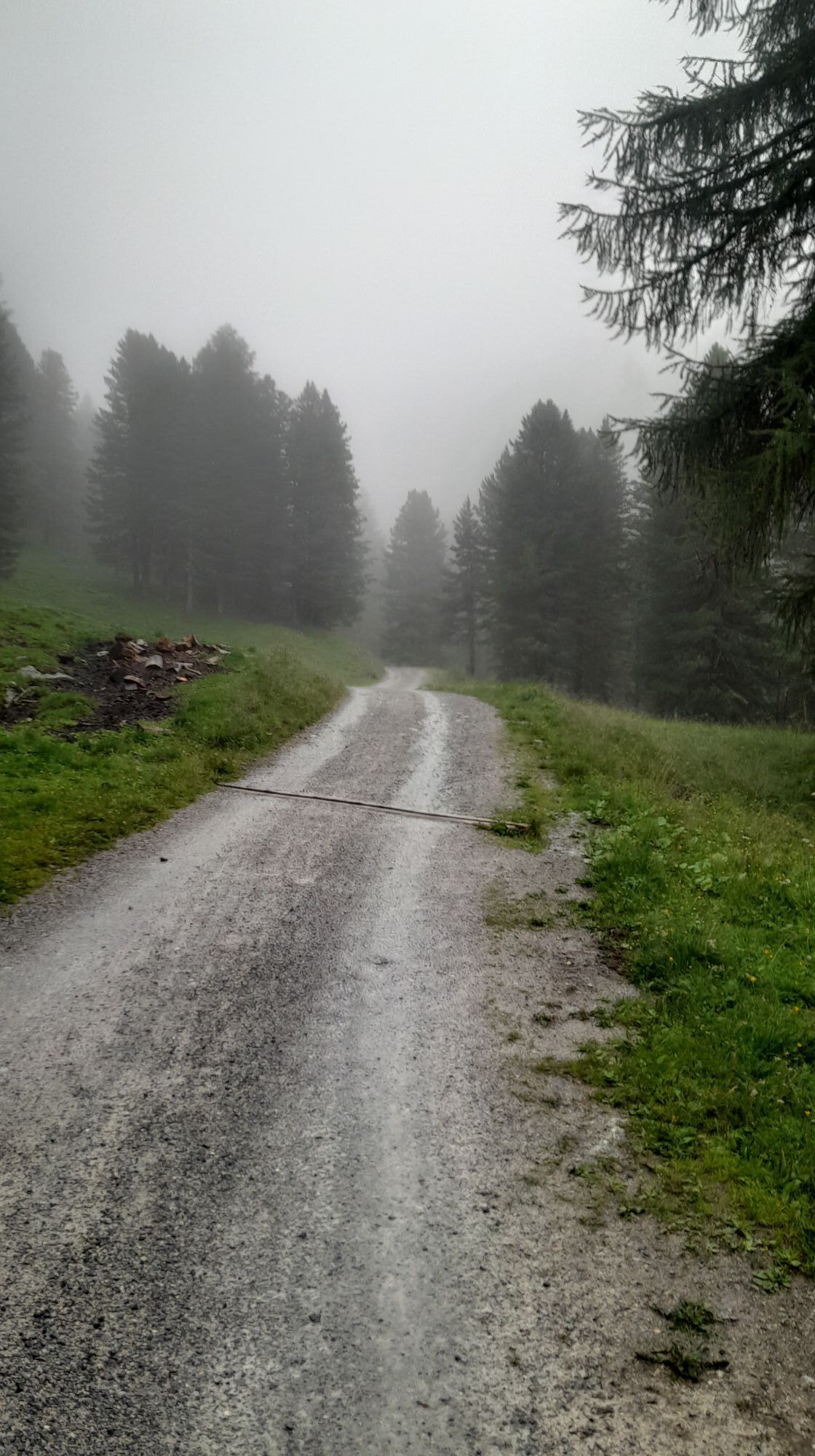
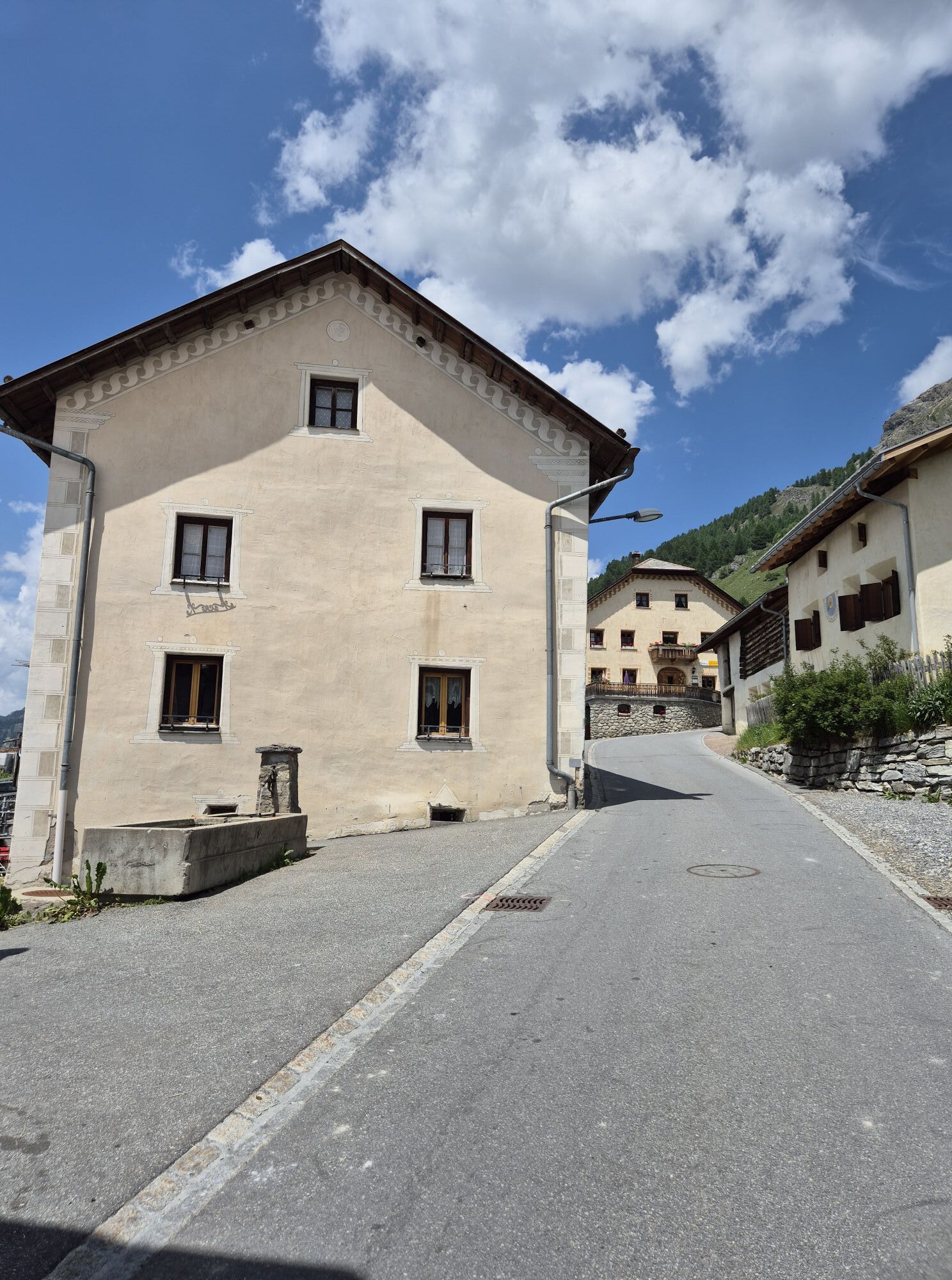
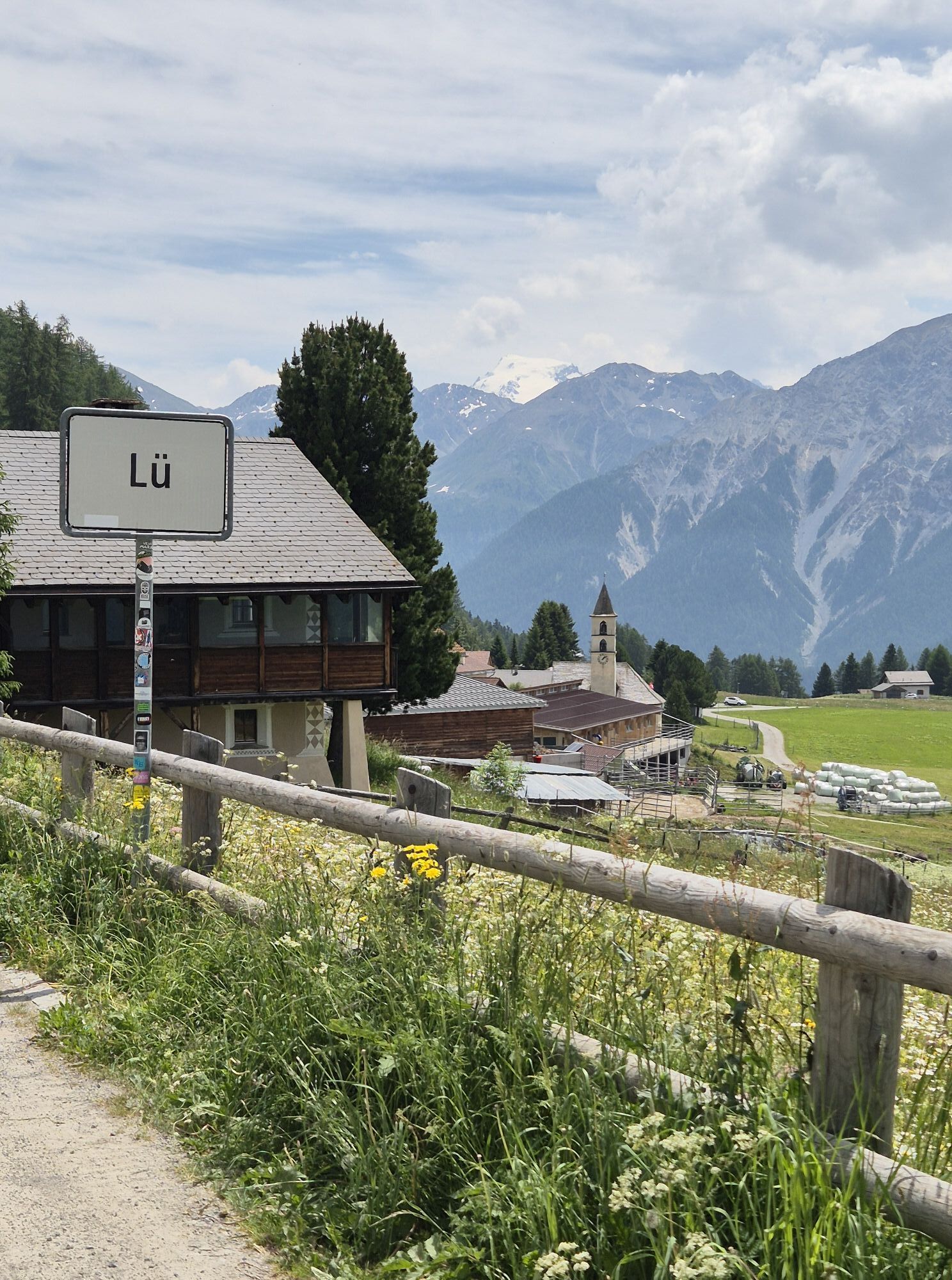
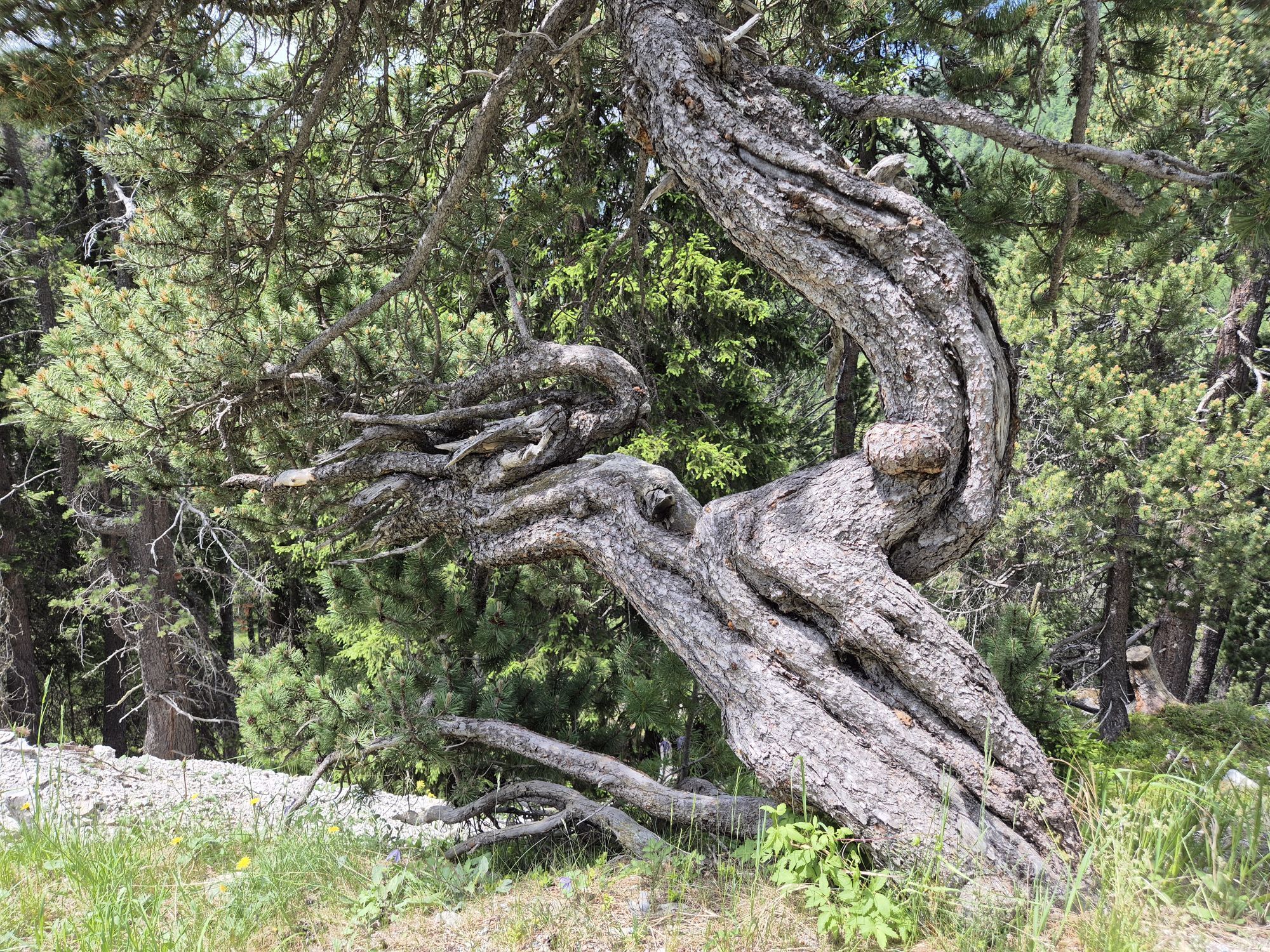
The distinctive, wild and intact natural landscape on the eastern edge of the national park impresses from the start of the route. The route connects in the shortest and probably most attractive way the Lower Engadin main town Scuol with the upper Val Müstair. Through the impressive Val S-charl past the picturesque miners’ village from the time of ore mining, it goes to the highest larch forest in Europe and further over the Pass da Costainas into the Val Müstair. The route through Val S-charl and over the Pass da Costainas is characterized by a unique and intact natural and cultural landscape along a mountain stream, through bright larch, larch and Swiss pine forests, amidst attractive alpine pastures and rugged three-thousand-meter peaks. In the hamlets S-charl and Lü it is worth taking a break.

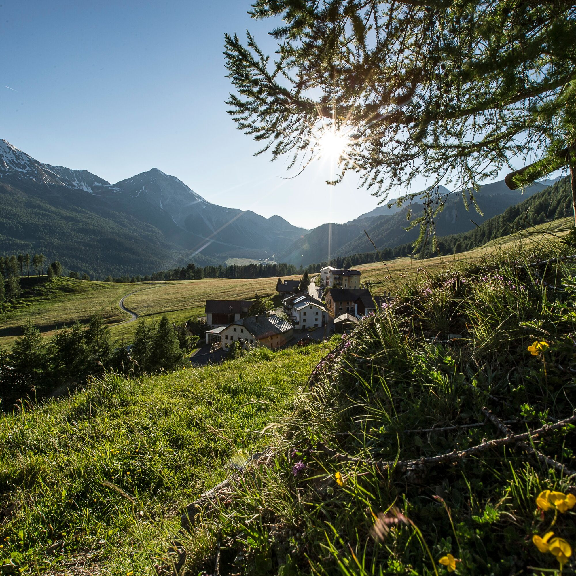
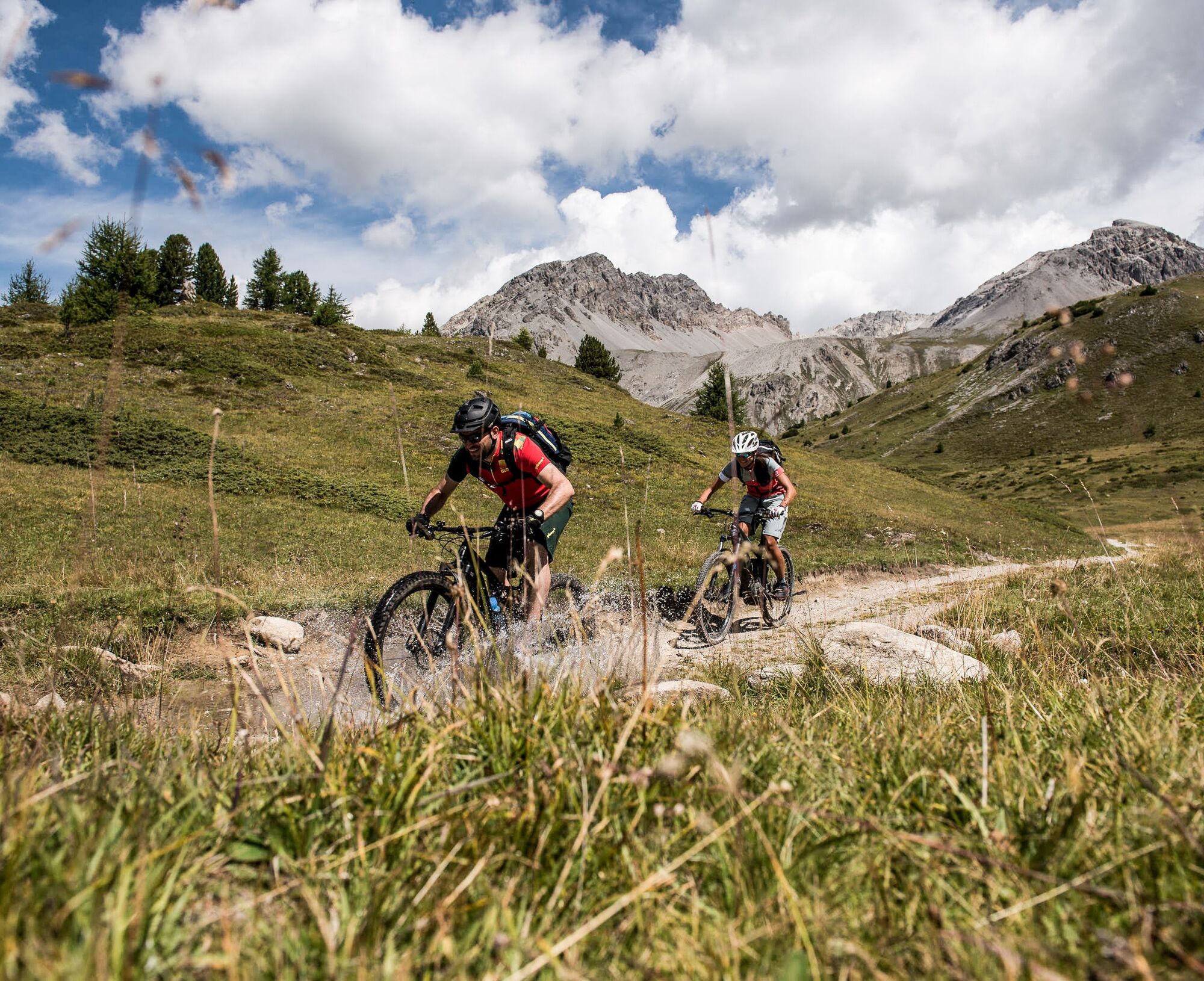
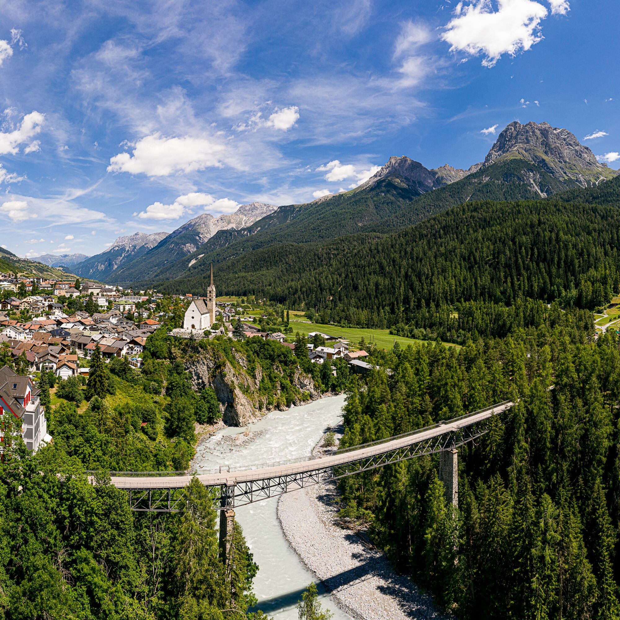
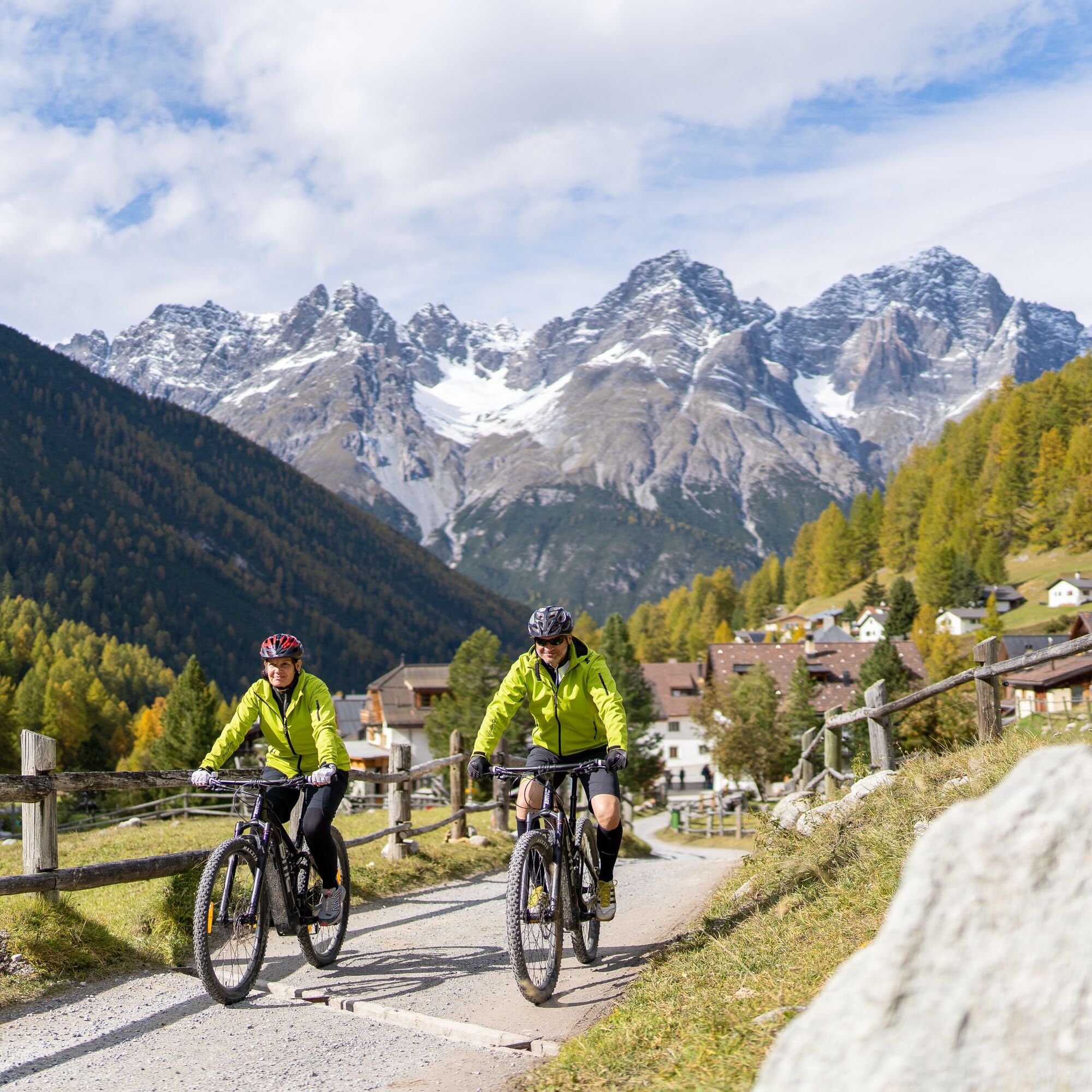
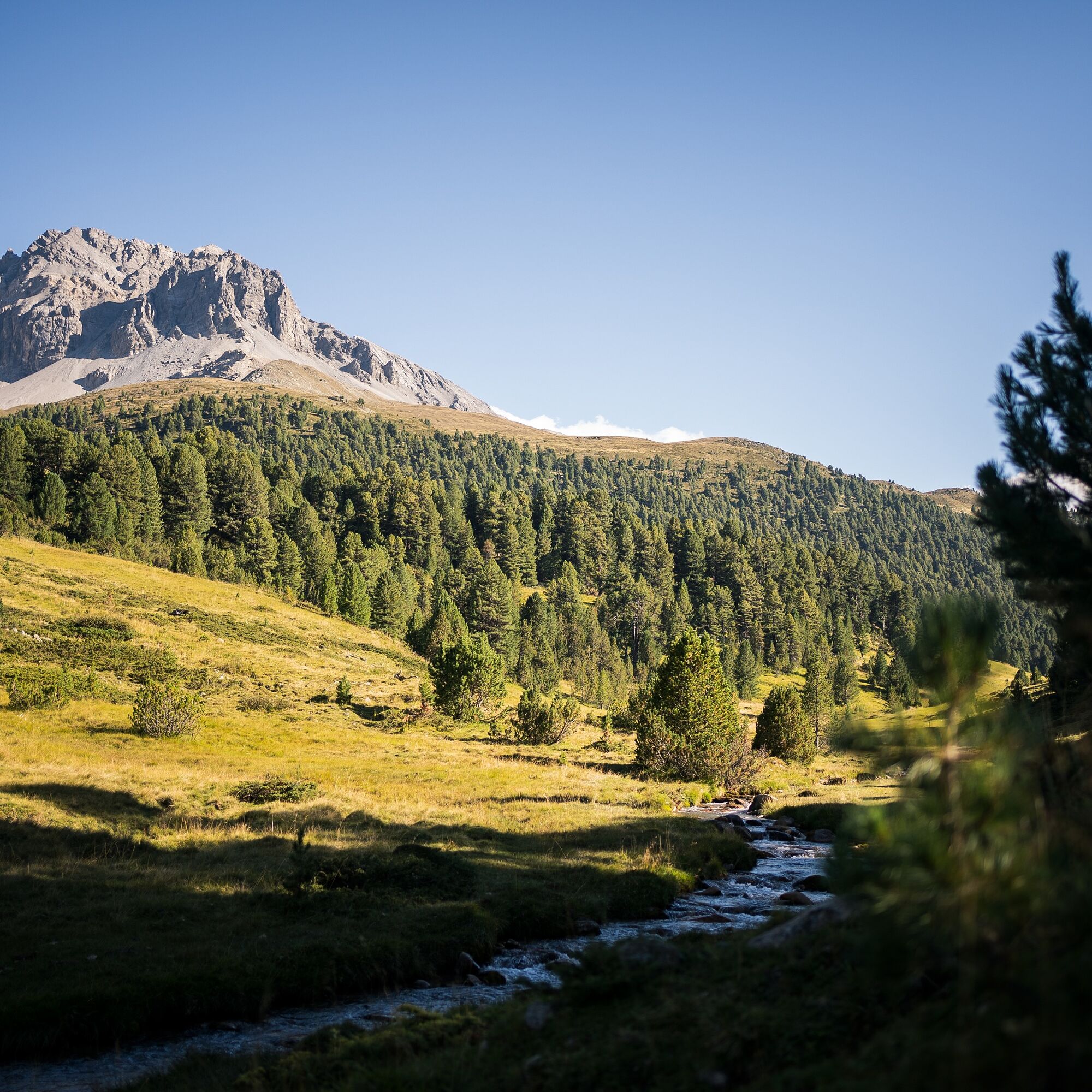
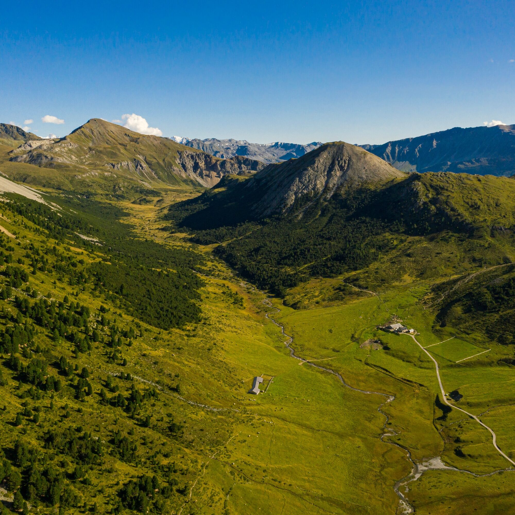
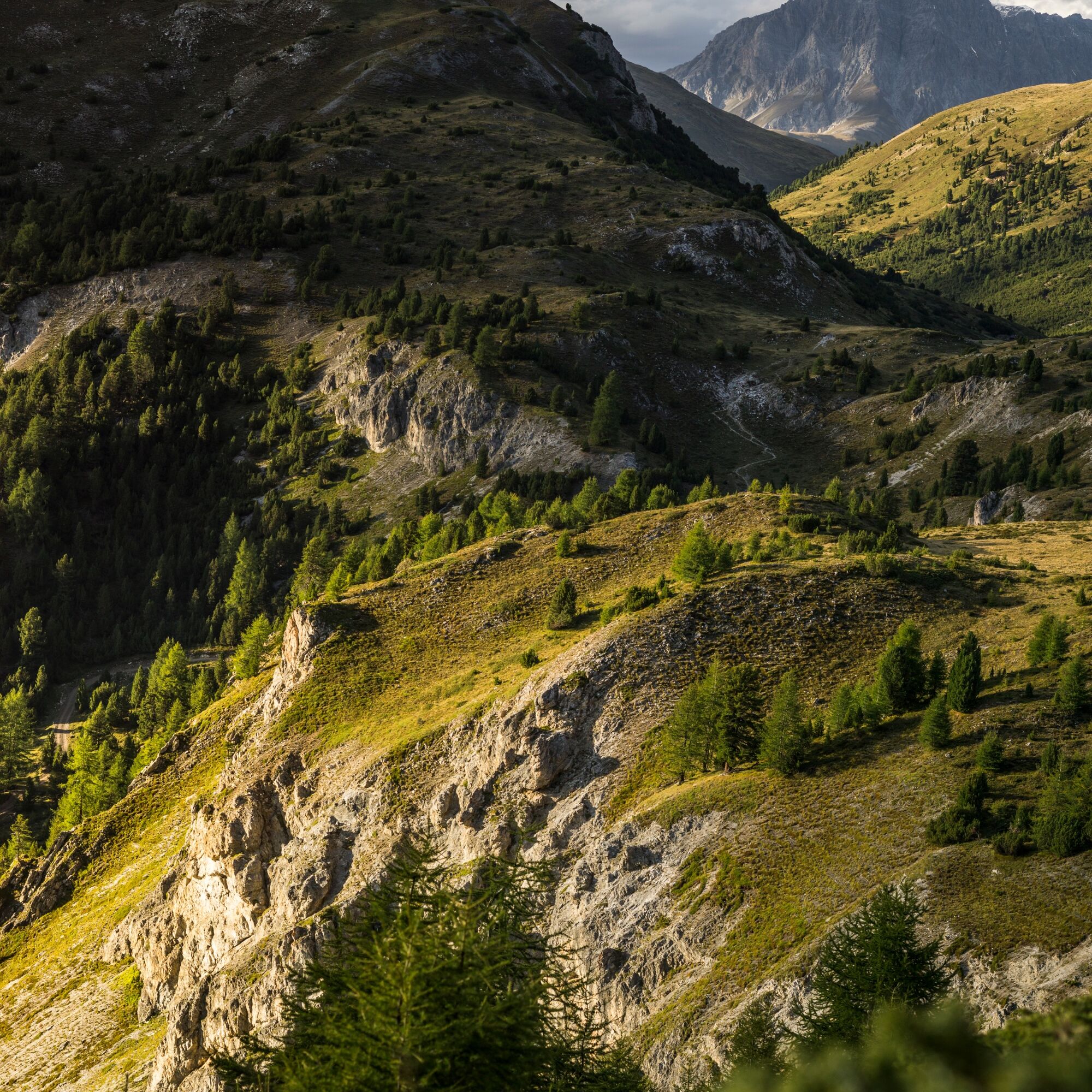
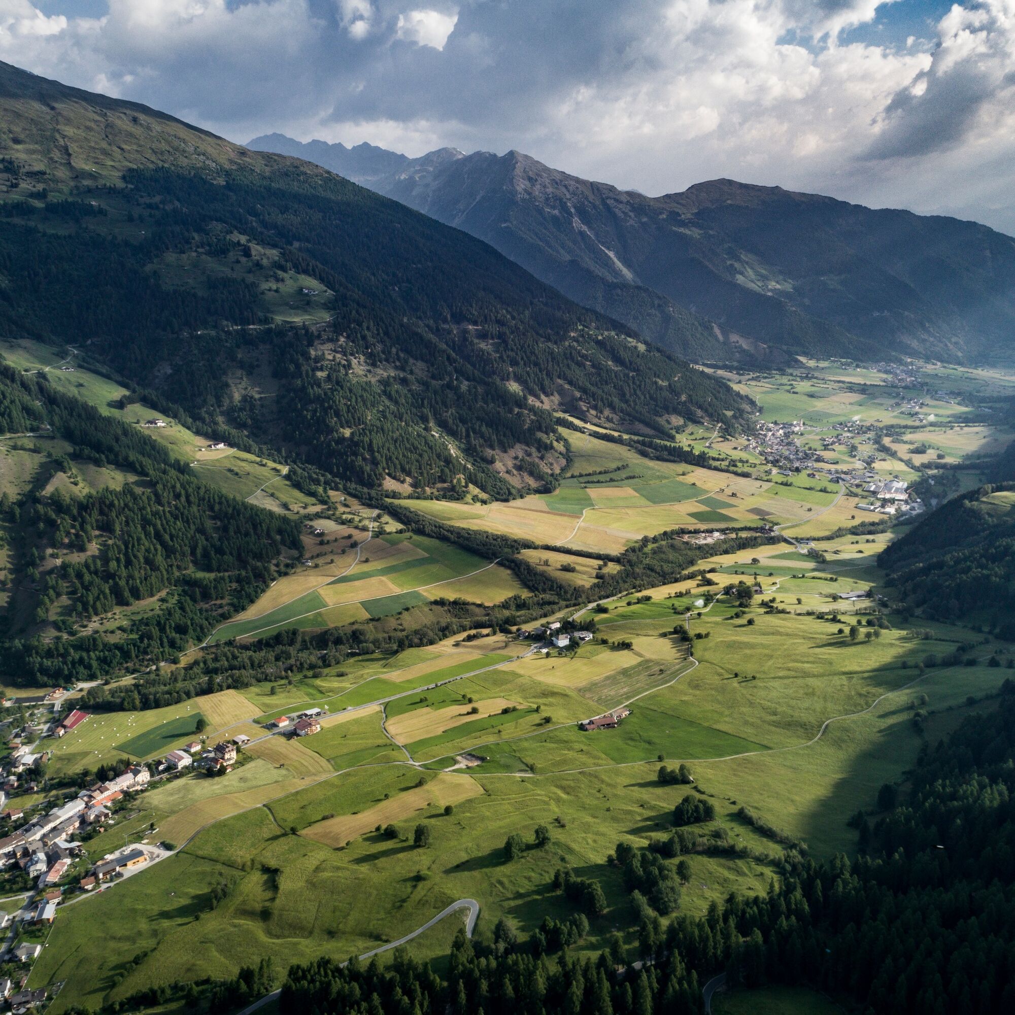

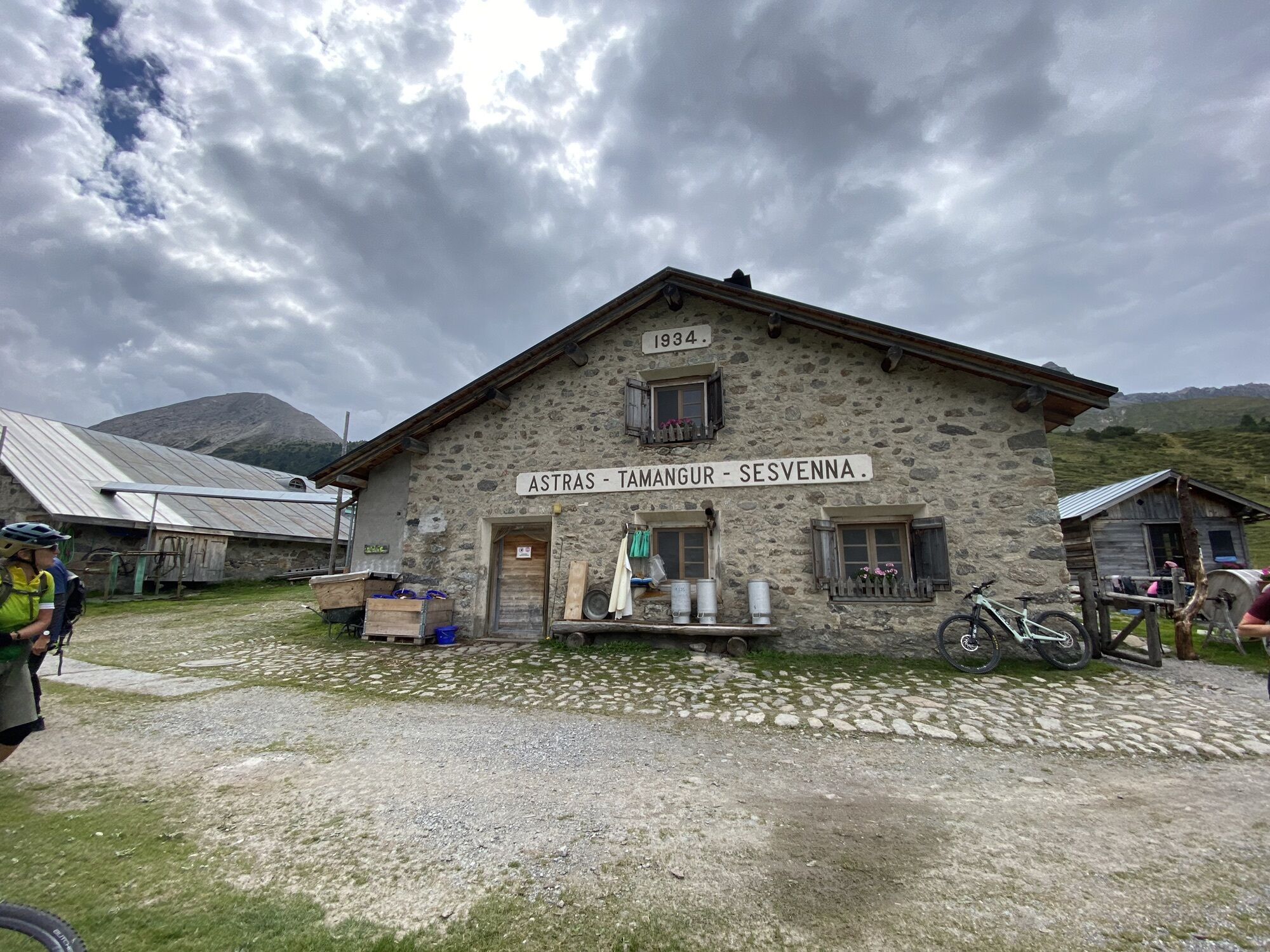
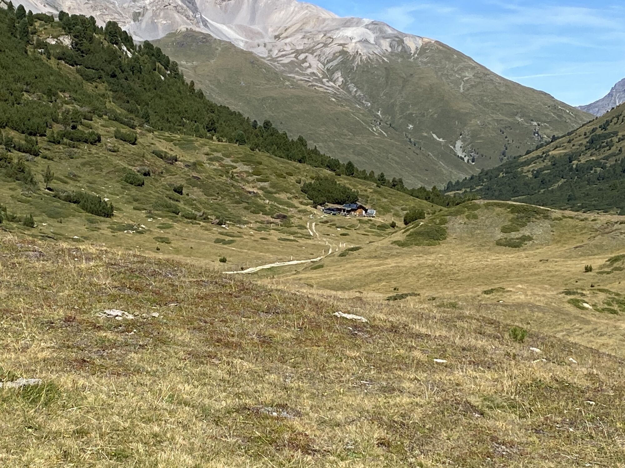
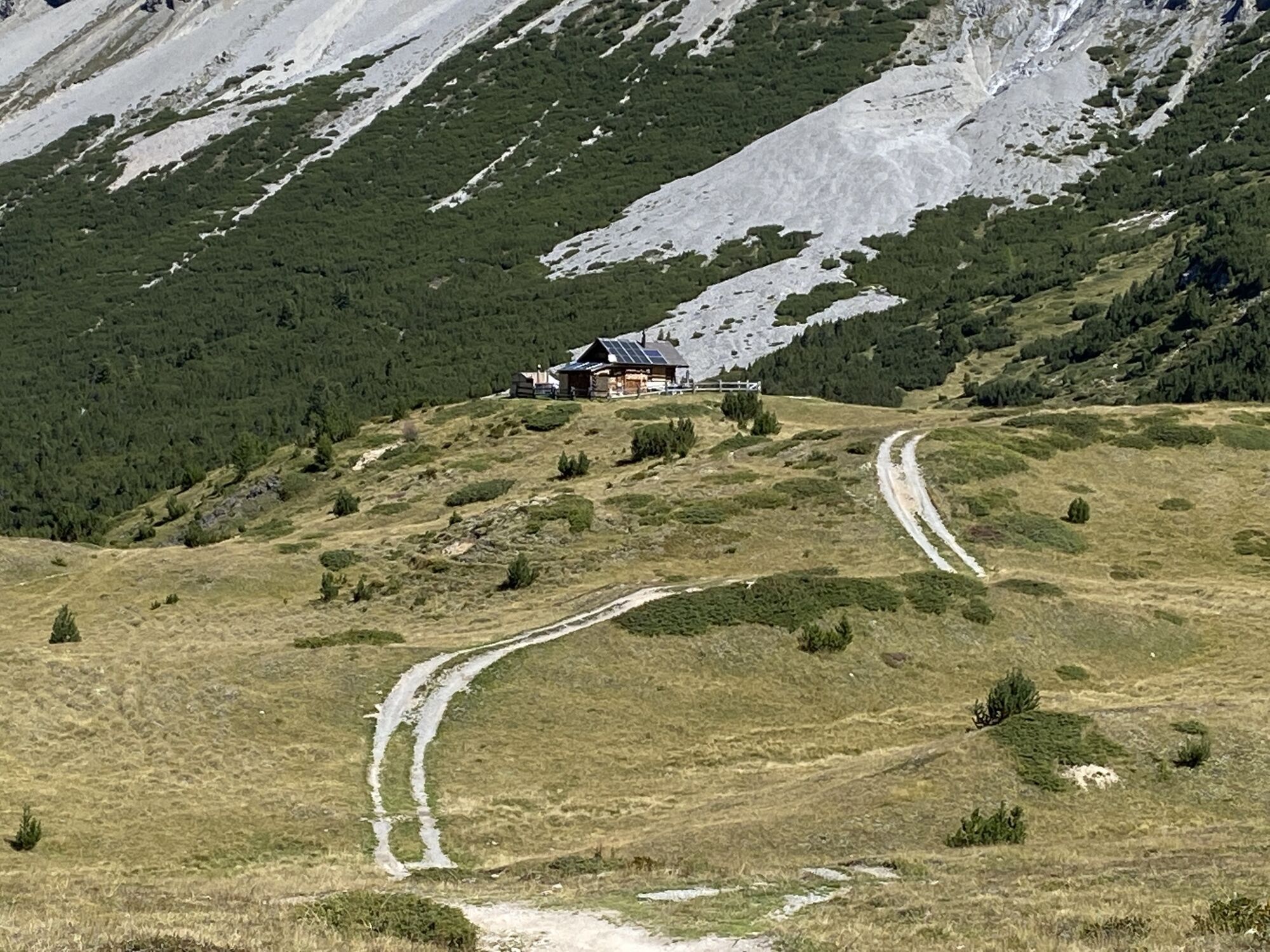
From Scuol (1250 m) steadily ascending on wide roads 13 km southwards into the wild side valley to S-charl (1810 m). Past the larch forest God da Tamangur to Alp Astras (2135 m), where the path changes into a narrower trail and continues to the Pass da Costainas (2251 m). From the Pass da Costainas follows the initially steep descent to Alp Champatsch (2090 m). Finally on wide forestry roads to the hamlet Lü (1920 m) and with a loop along the Val Müstair into the valley.
Tak
Helmet, gloves, good footwear, glasses, rain and sun protection, water bottle, repair kit, first aid kit.
On high-altitude sections snowfields are possible until the summer months.
The route has been rated under favorable weather conditions; the current weather conditions and forecasts must be strictly observed before starting the route. This route does not pose any special demands on riding safety and technical skills.
Emergency call:
144 Emergency call, first aid
1414 Mountain rescue REGA
112 International emergency call
Please be considerate when crossing and overtaking hikers.
The Grisons mountain bike routes mostly run on singletrails, which are also designated as hiking trails. Hikers always have the right of way.
From the north: via Landquart – Klosters by car shuttle through the Vereina tunnel (Selfranga - Sagliains) or via the Flüela pass into the Lower Engadin on H27
From the east: via Landeck / Austria towards St. Moritz on H27
From the south: via Reschen pass (Nauders-Martina) or Ofen pass (Val Müstair-Zernez) on H27
Scuol is located directly on the Engadine road H27 (20 minutes drive from the Vereina south portal)
By the Rhaetian Railway (from Chur, Landquart/Prättigau or from the Oberengadin) hourly to Scuol-Tarasp
By PostAuto (from Martina, Sent, Ftan or Tarasp) hourly to Scuol-Tarasp station
Paid parking spaces at the station and near the mountain lifts in Scuol.
Free parking spaces in Porta and Punt (Scuol Sot).
S2
The e-mountain bike route «Nationalparkregion» can be booked as a package offer with organized luggage transport over four stages. More information at engadin.com/bike-pauschalen.
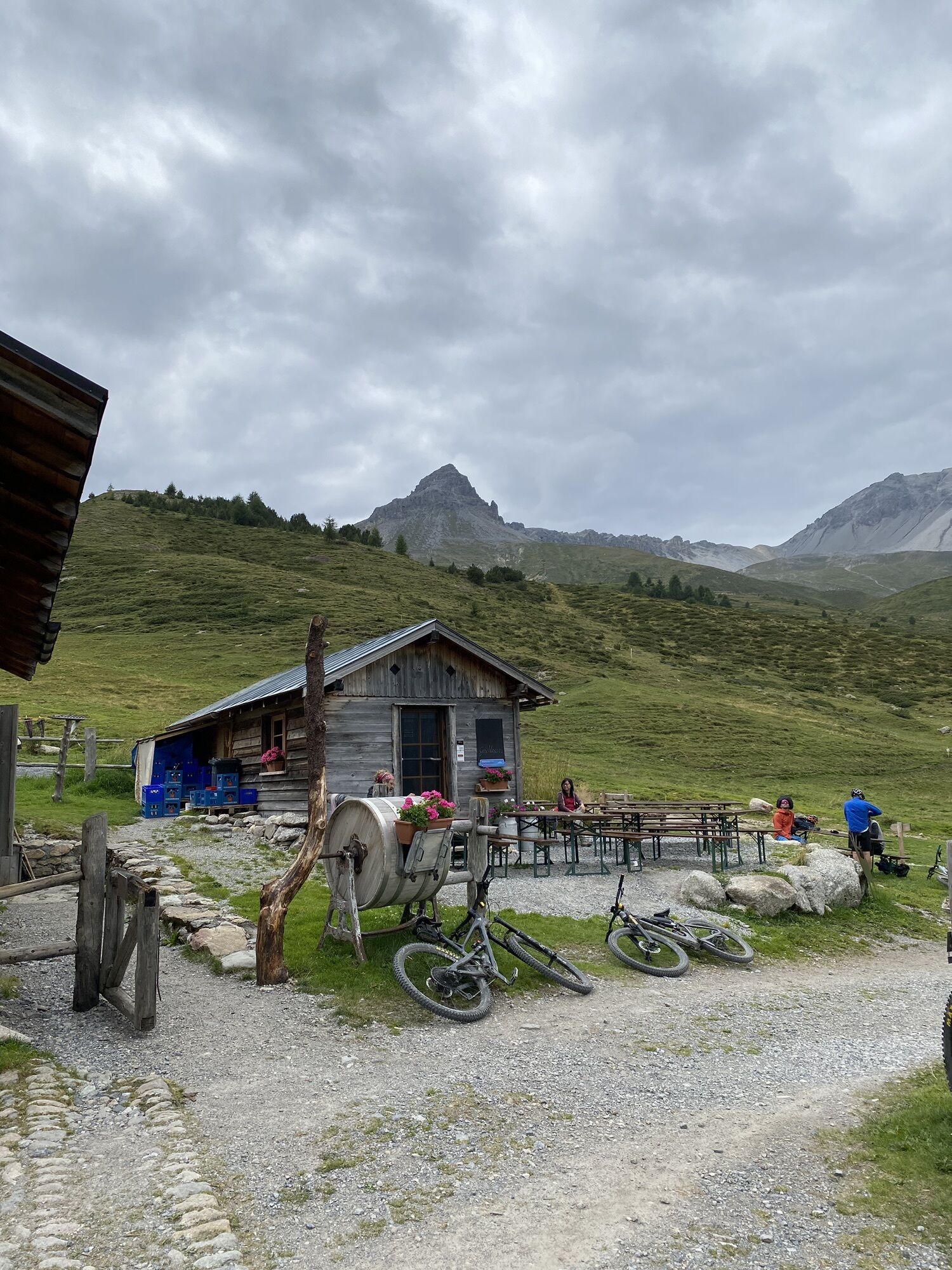
Alp Astras and the served Alp Champatsch invite you to a refreshing break in midsummer.

Kamery internetowe z trasy
-
Motta Naluns
-
Minschuns
-
Gasthaus Alpenrose - Minschuns
-
Scuol
-
Schloss Tarasp
-
Ftan Prui
-
Taufers im Münstertal
-
Fuldera - Hotel Landgasthof Staila
-
Fuldera
-
Motta Naluns
-
Motta Naluns
-
Motta Naluns
-
Motta Naluns
-
Motta Naluns
-
Motta Naluns
-
Ftan
-
Müstair - Hotel Helvetia
-
Sent
-
Ftan
-
Tarasp - Engadin
-
Sent
-
Taufers im Münstertal
-
Müstair
-
Tschierv
-
S-Charl Alp Tavrü
Uzyskaj wgląd
Zawsze na żywo z ponad 9 500 kamer internetowych. bergfex Jako użytkownik Pro, możesz teraz zobaczyć odpowiednie kamery internetowe dla wielu wycieczek w aplikacji wycieczki od. Pozwala to na bezpośredni podgląd aktualnych warunków.


Popularne wycieczki w okolicy
-
5,0
Mountain restaurant Plantaptasch (without Lift)
średniWędrówka 3,42 km -
4,3
National Park: Margunet
światłoWędrówka 7,76 km -
3,6
Easy hiking rout to the top of the Watles Moutain (2.550 m)
średniWędrówka 2,35 km -
4,5
Rundwanderweg Wattles und Sesvenna
światłoWędrówka 16,4 km -
4,8
National Park: Grimmels (circular hike)
światłoWędrówka 6 km -
3,4
Sta.Maria, Prà da Vau - Lai da Rims - Alp Sot - Prà da Vau
ciężkiWędrówka 14,7 km -
4,5
Tarasp Fontana – Sparsels – Lai Nair (circular route)
światłoWędrówka 7,67 km -
5,0
3 Länder Tour Uinaschlucht MTB
ciężkiMountainbike 74,6 km -
4,7
Bergwanderung Schlinig -Seswenahütte
średniWędrówka 13,6 km -
Sesvennahütte
średniWędrówka 5,01 km
Wędrówki i tropienie


Nie przegap ofert i inspiracji na następne wakacje
Twój adres e-mail została dodana do listy mailingowej.





