







Trai(l)s Vals – 1st stage: Samnaun – Scuol

Poziom trudności: S3
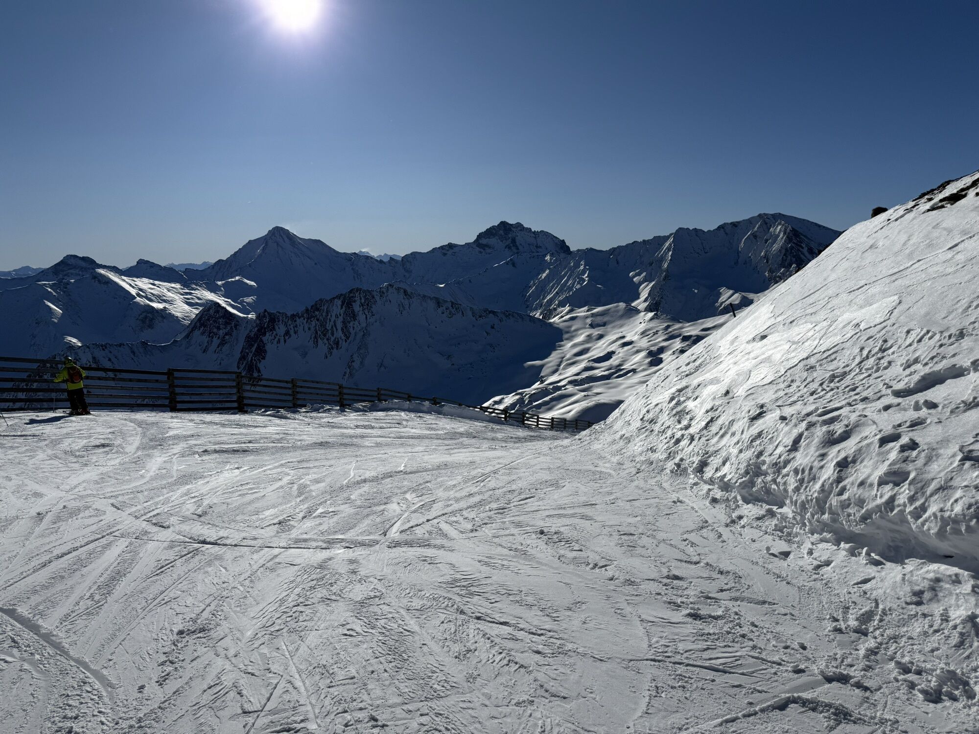
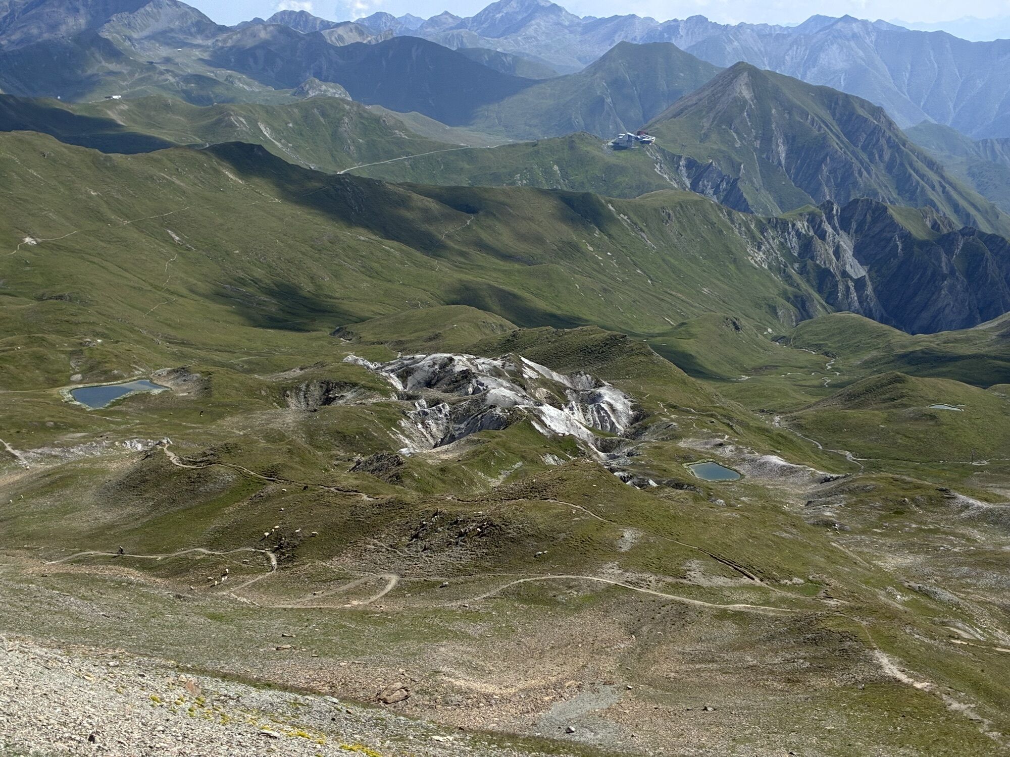
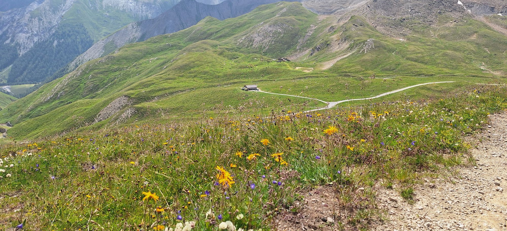
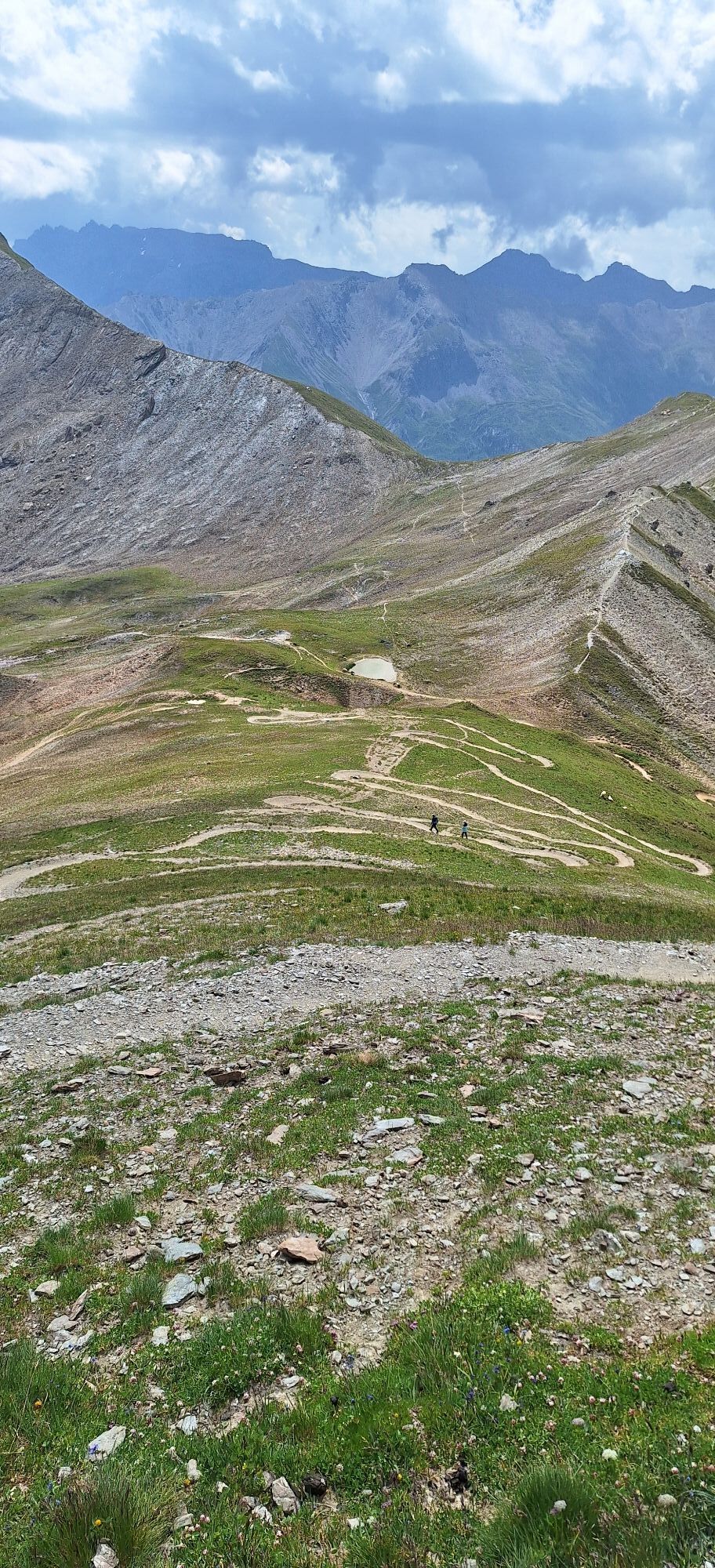
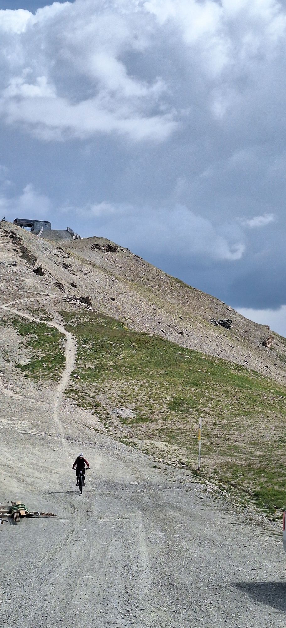
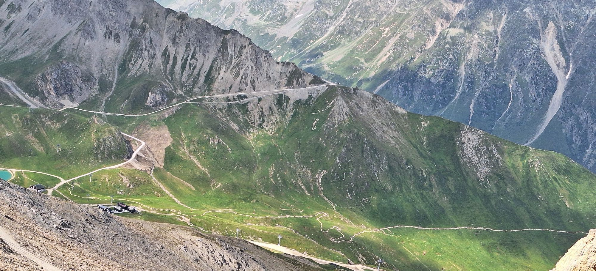
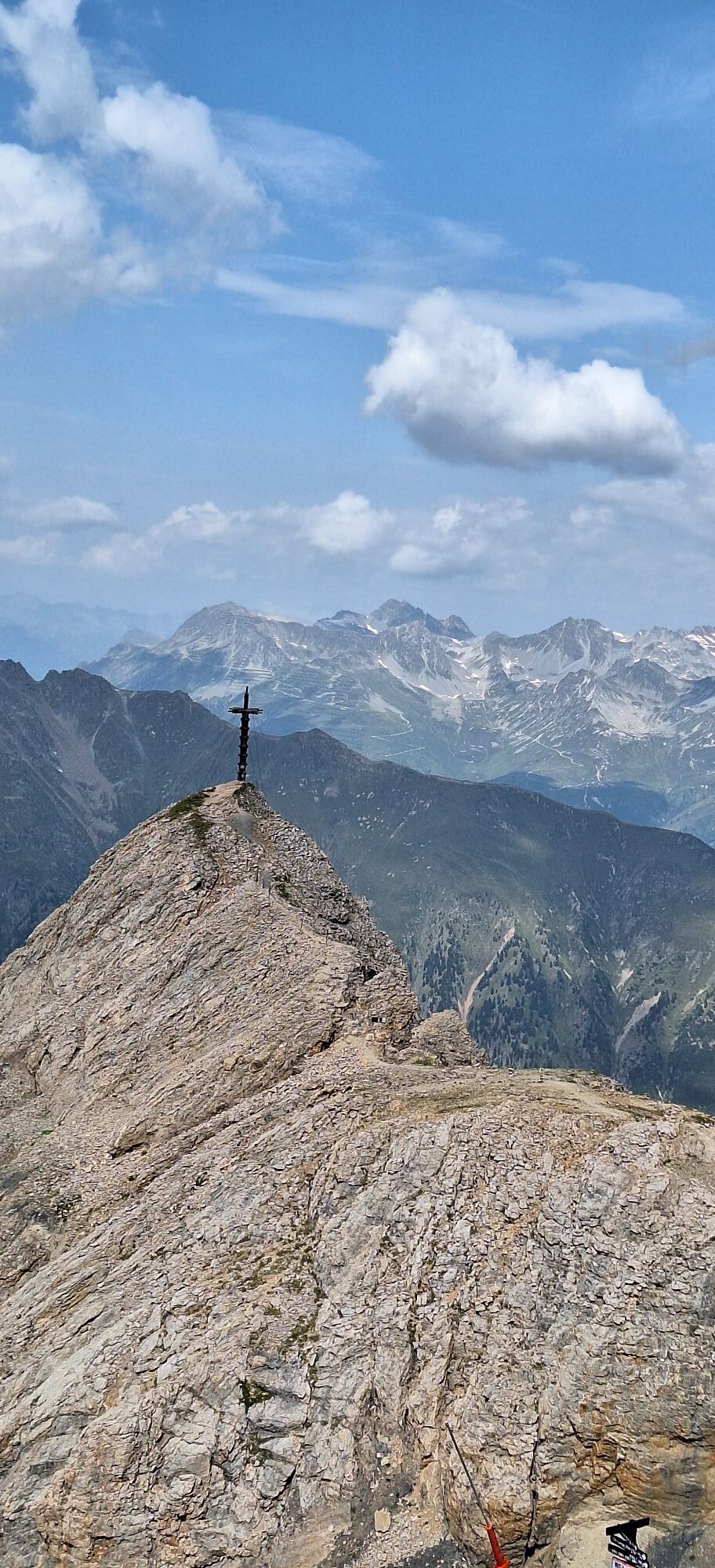
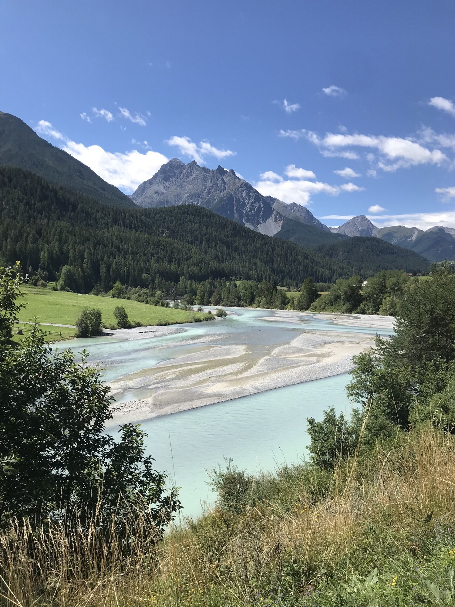
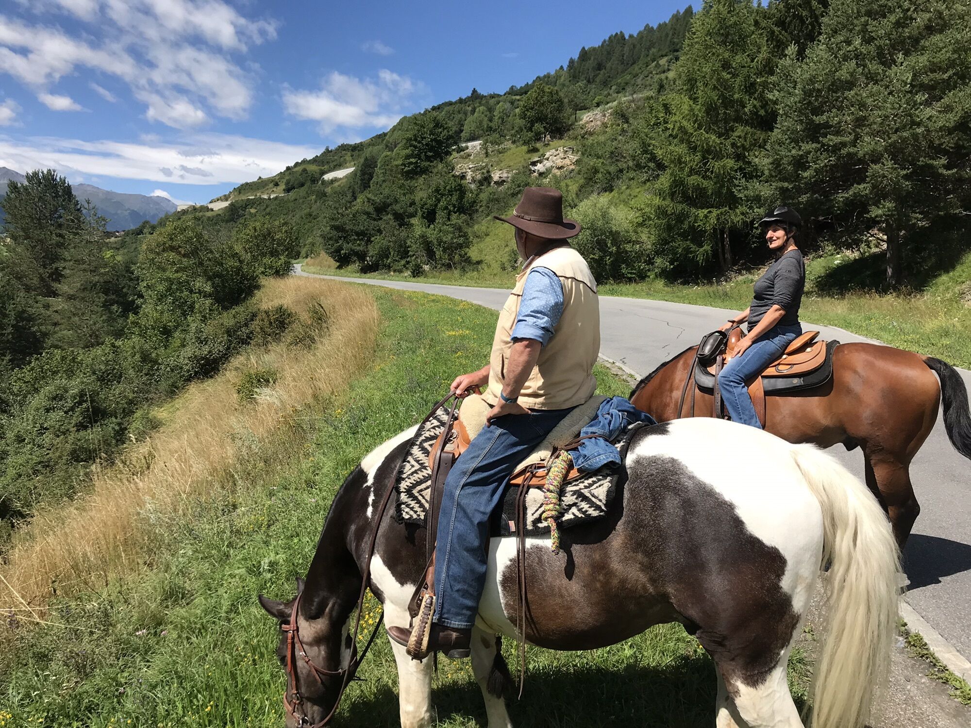
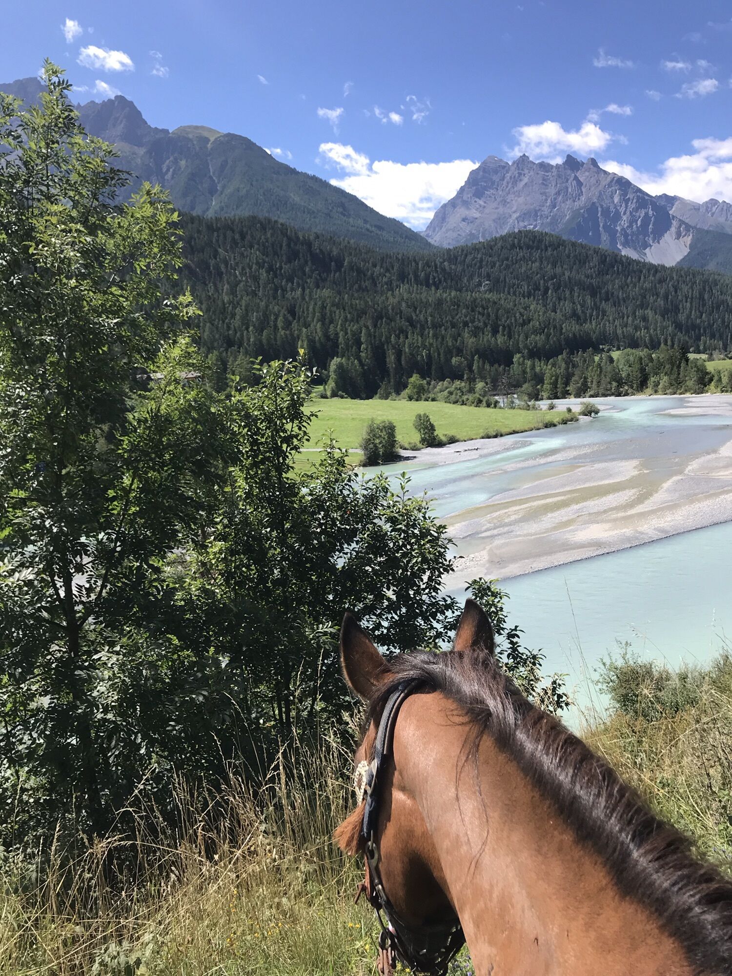
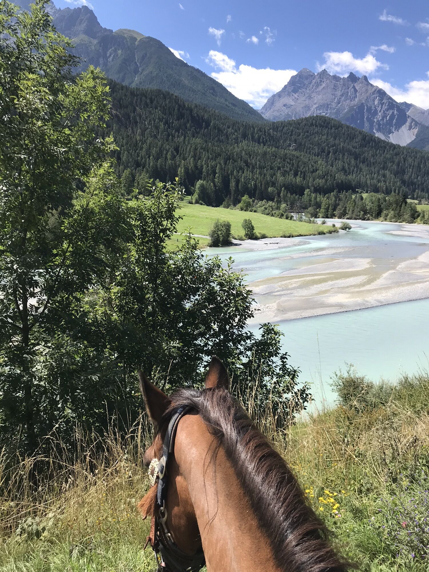
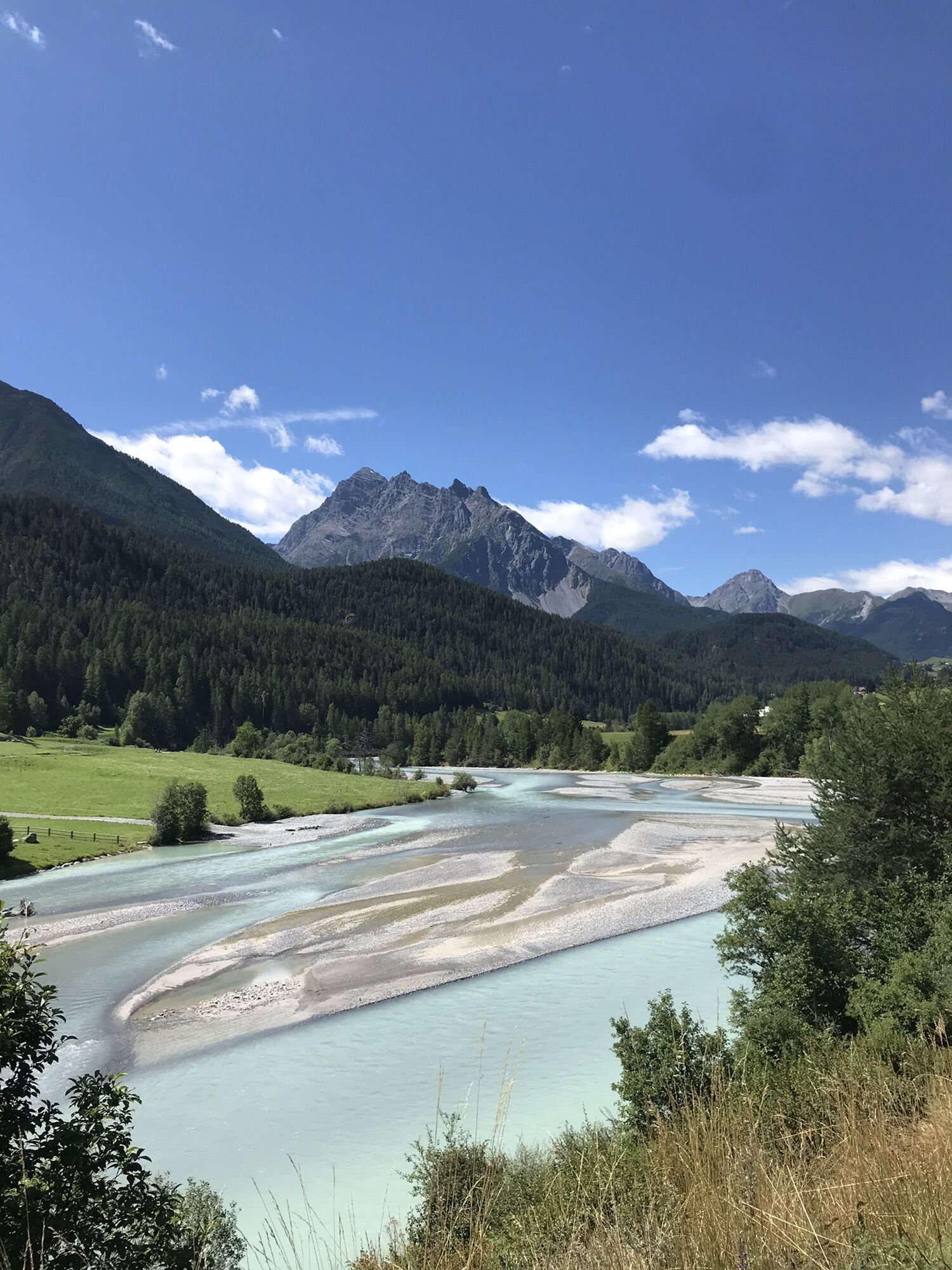
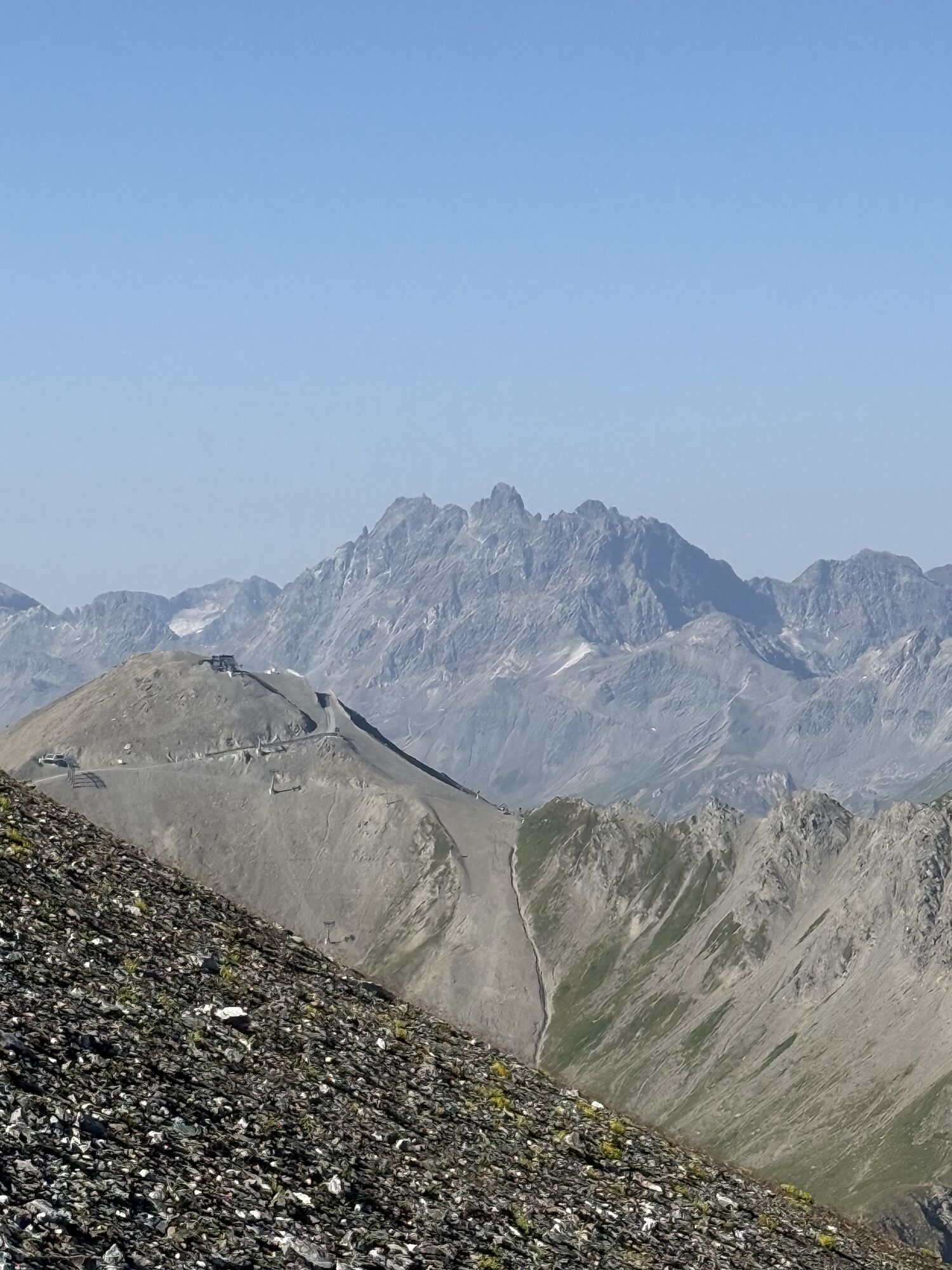
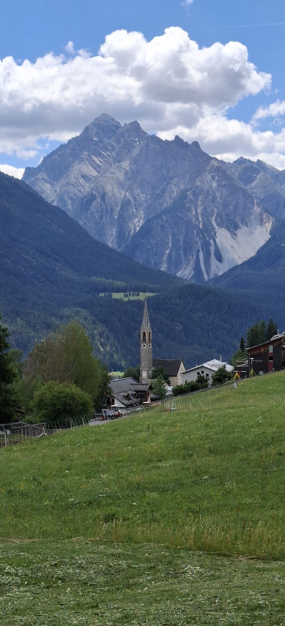
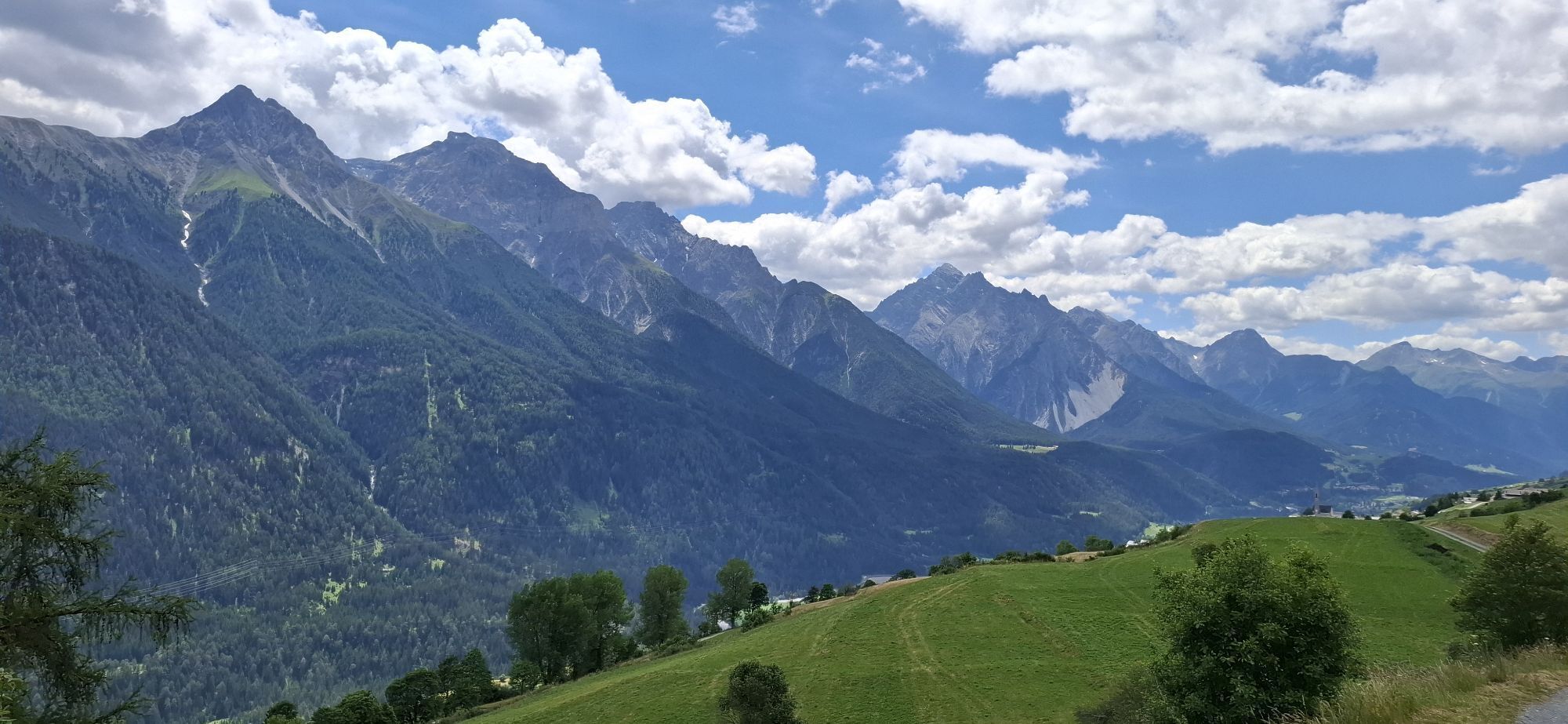
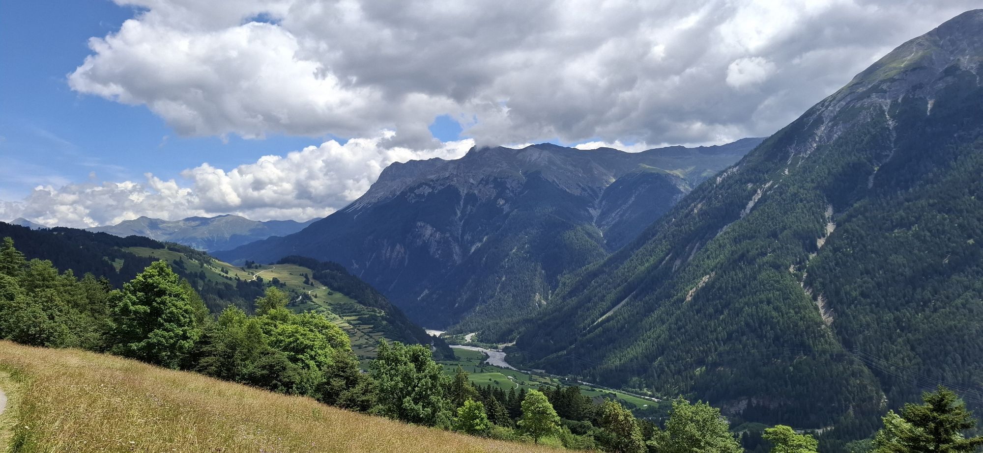
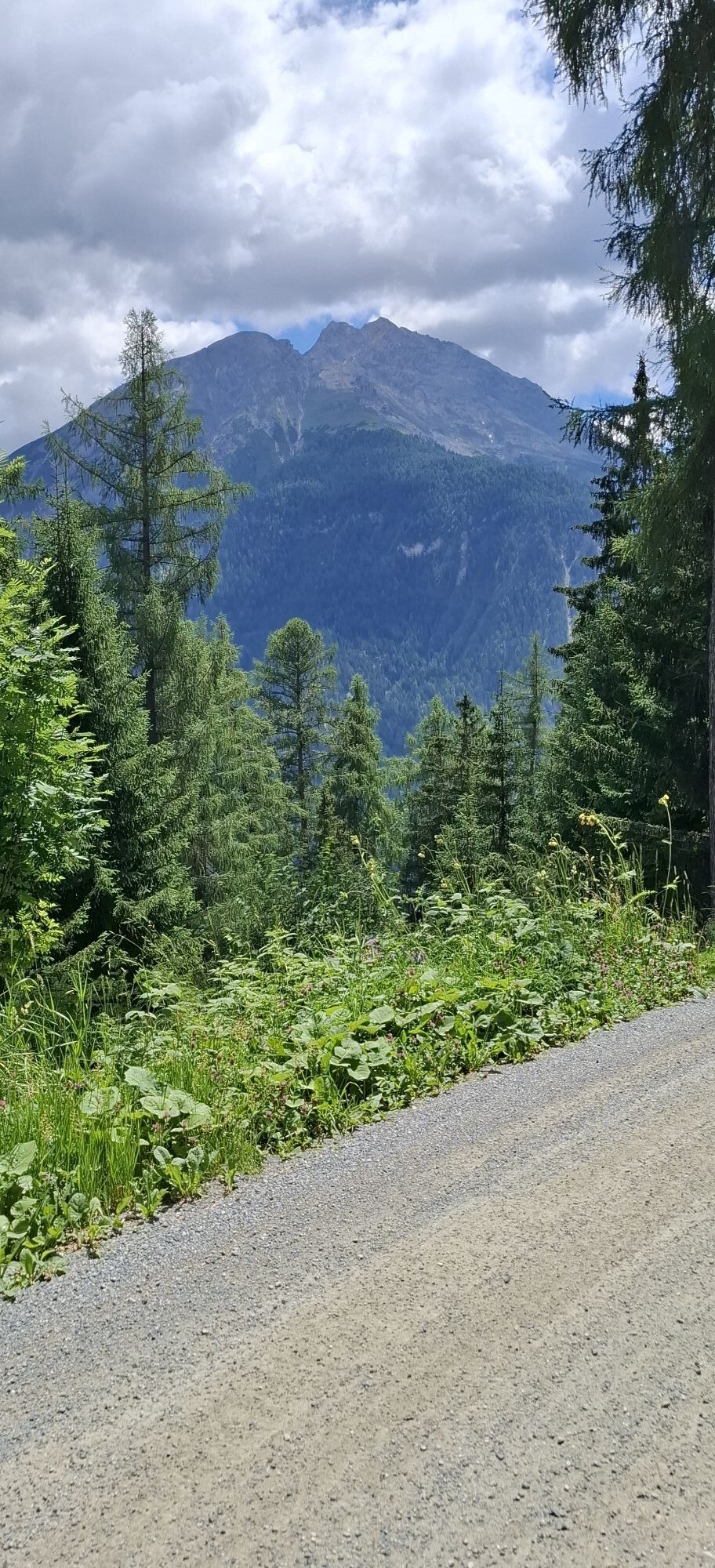
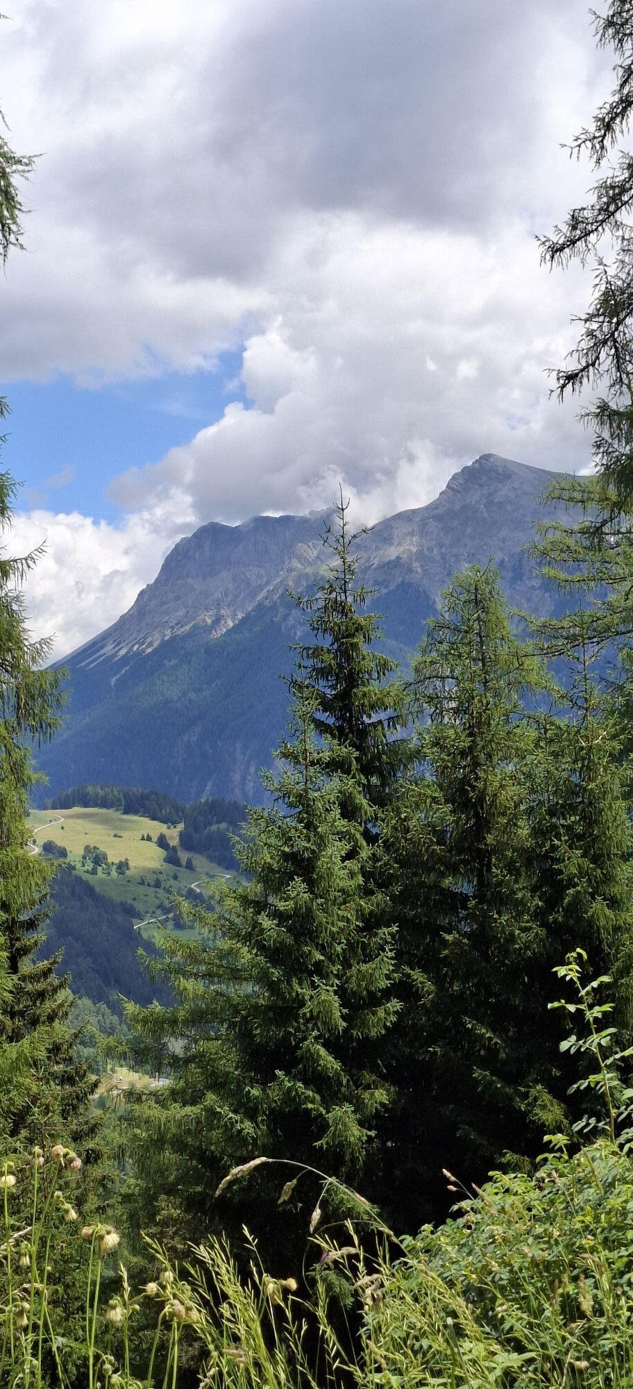
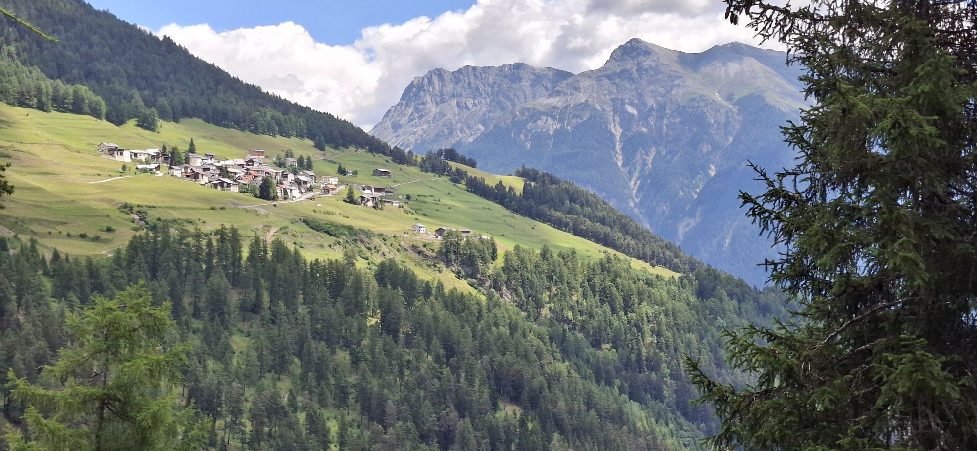
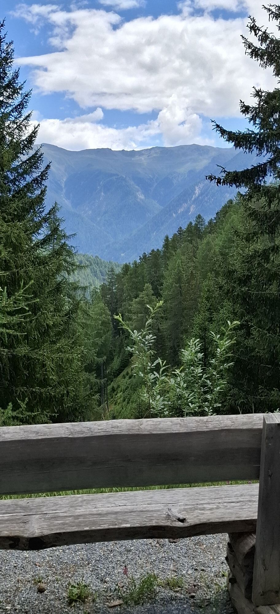
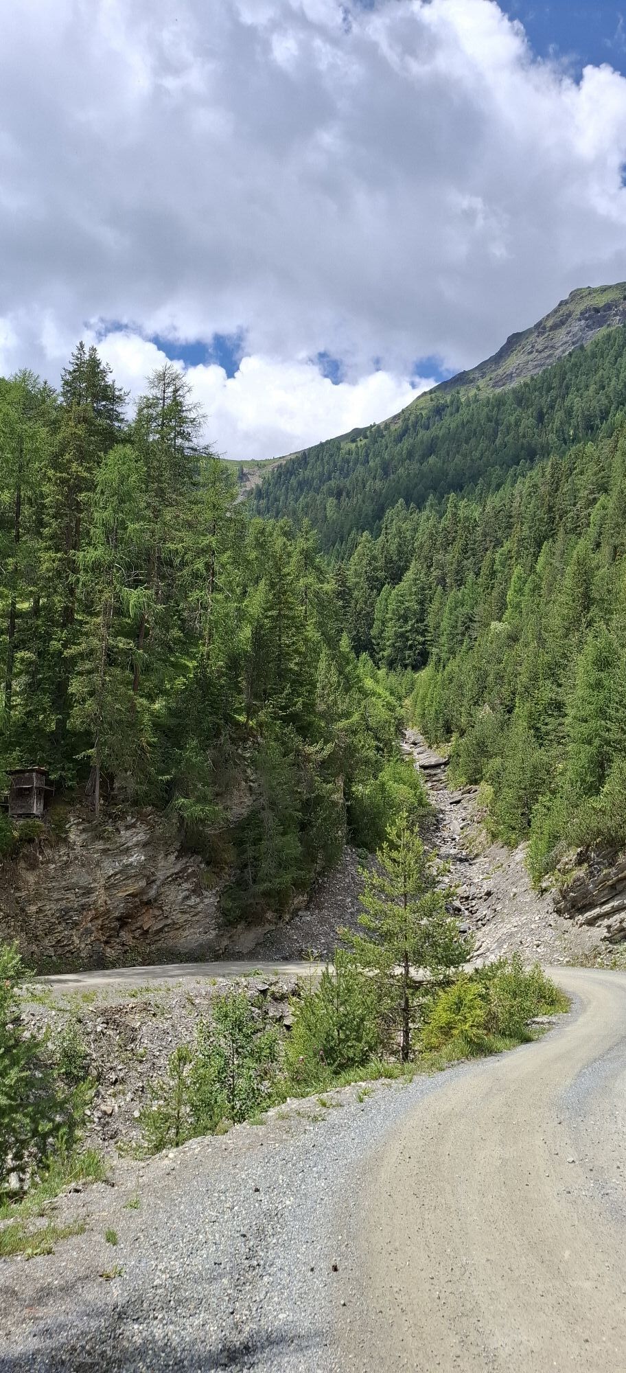
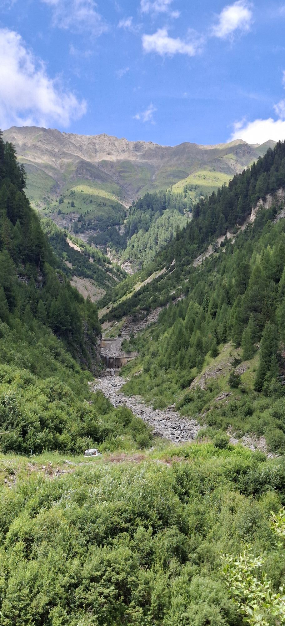
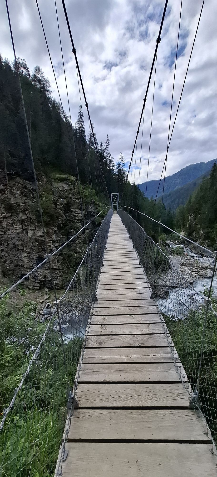
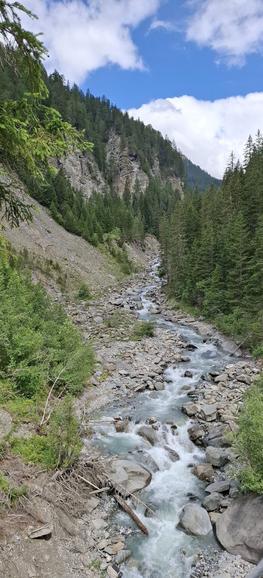
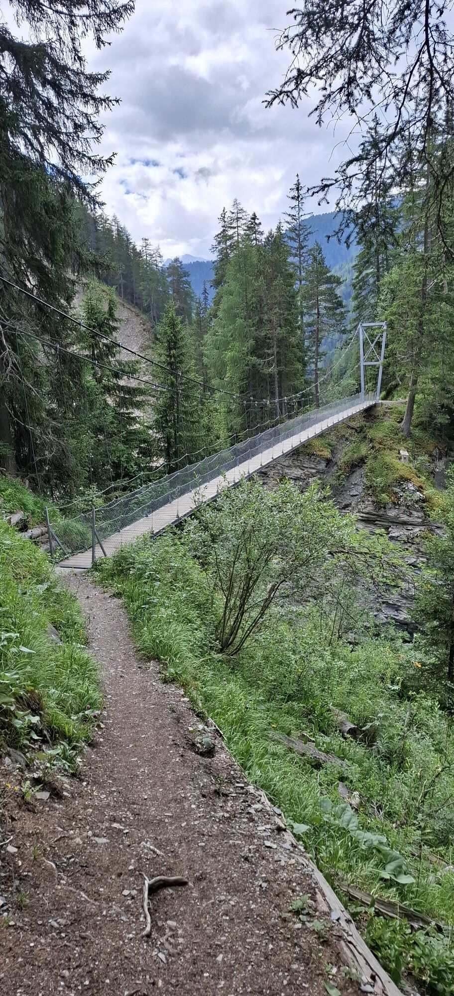
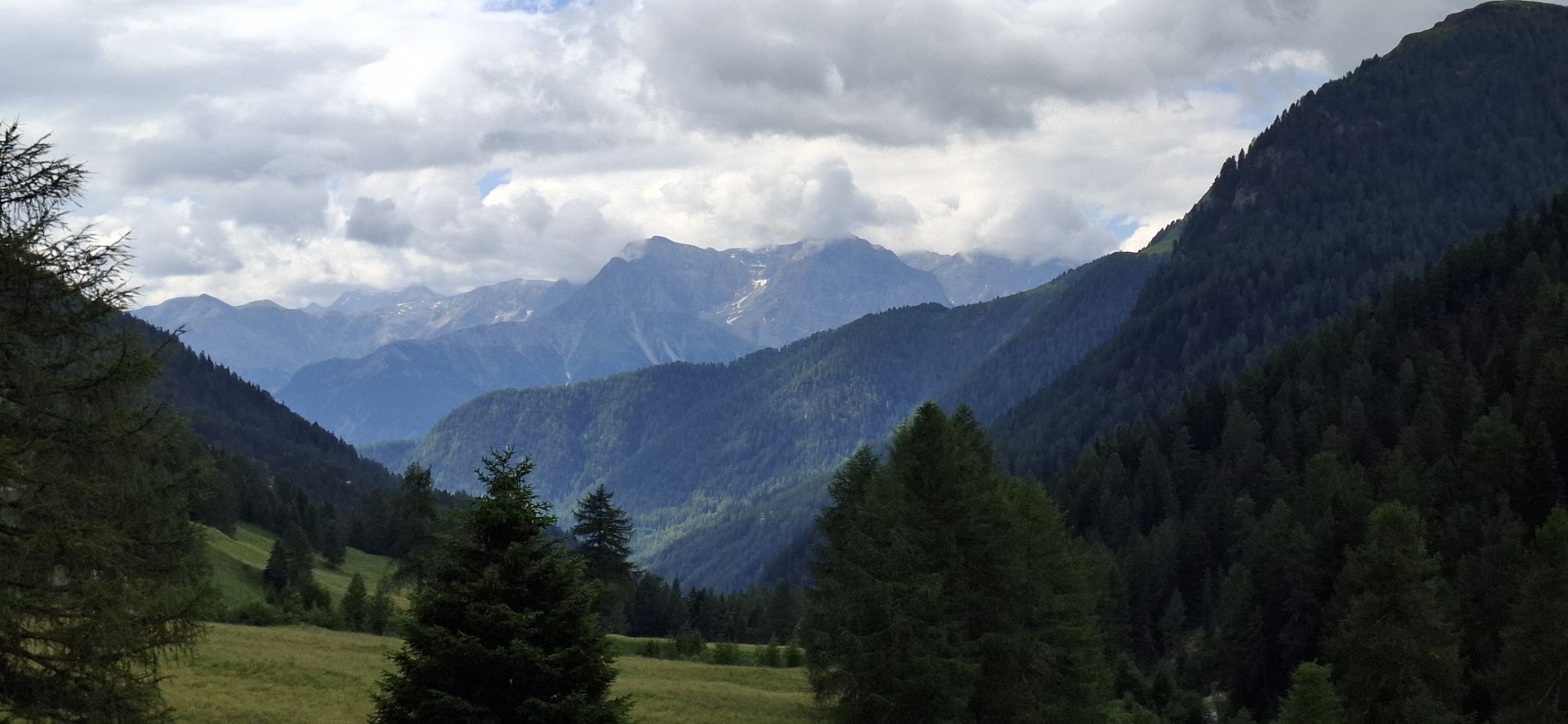
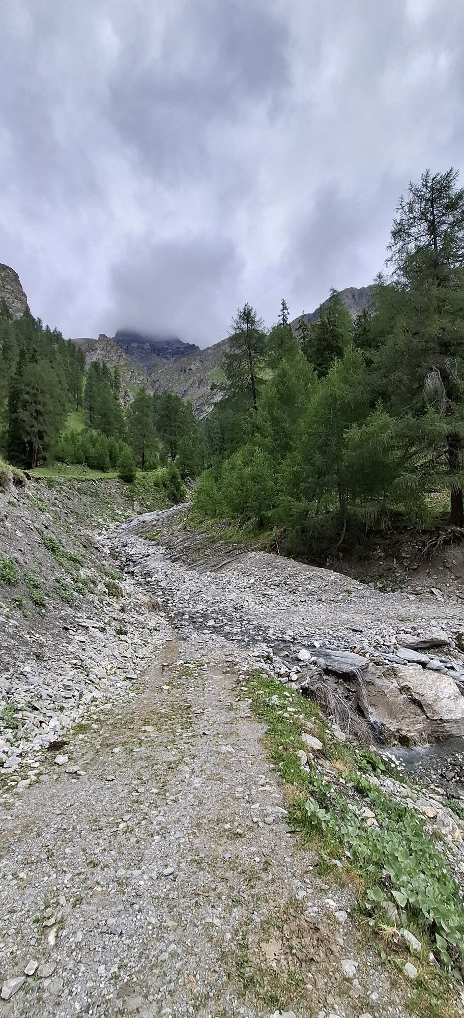
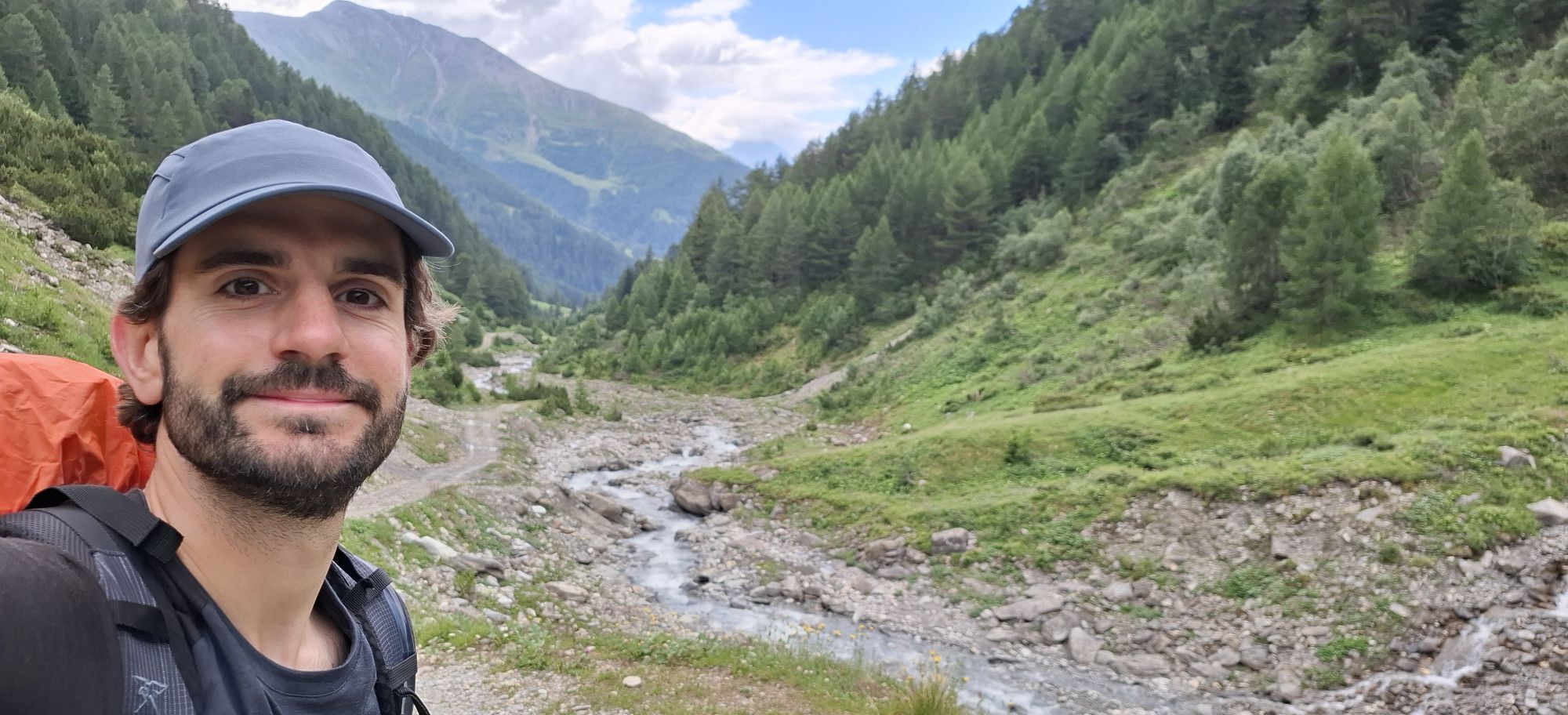
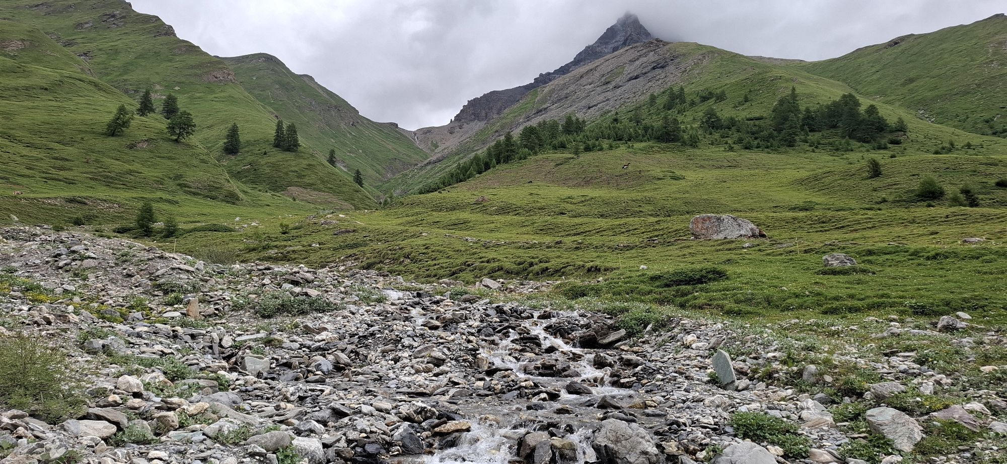
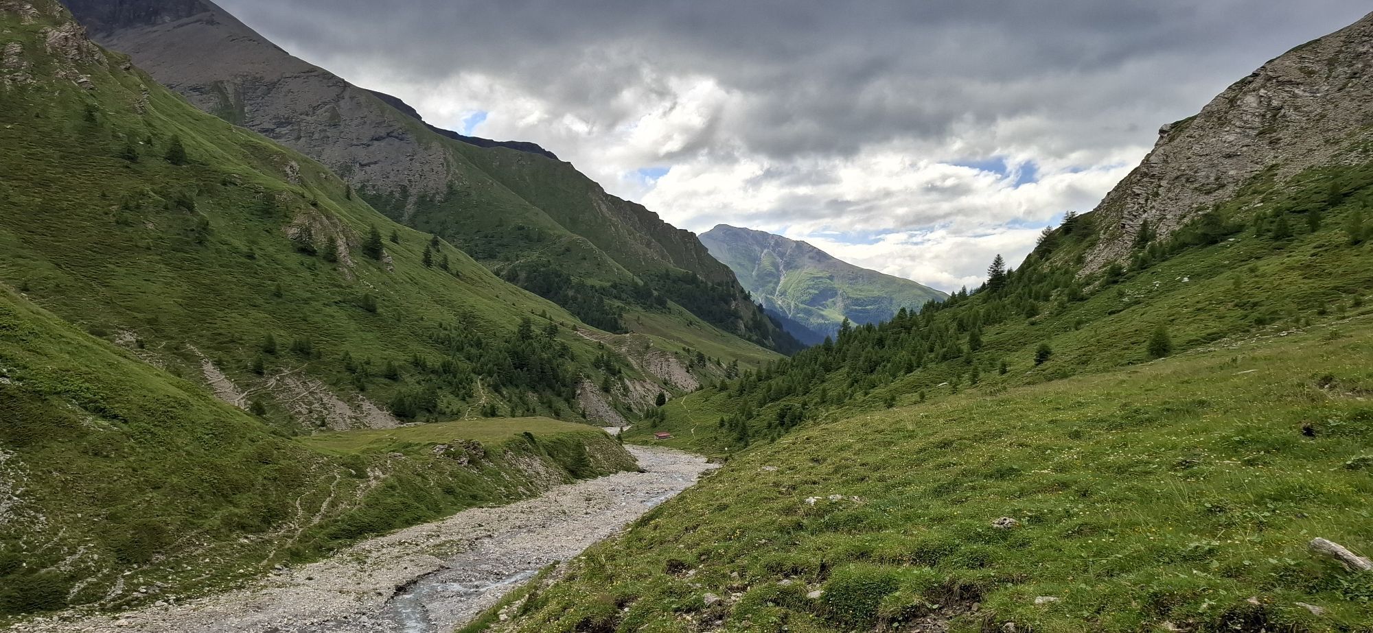
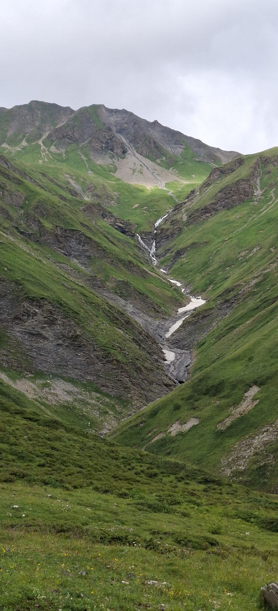
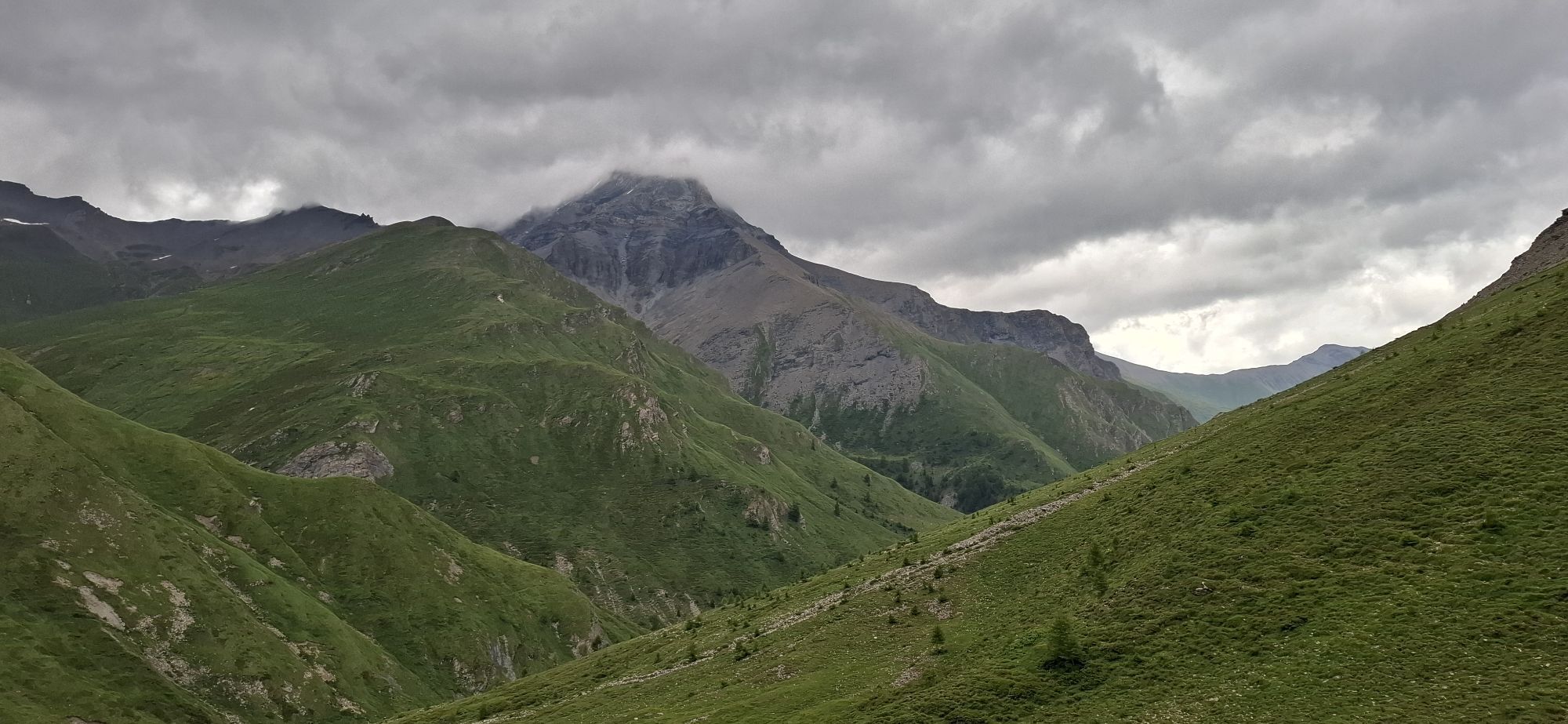
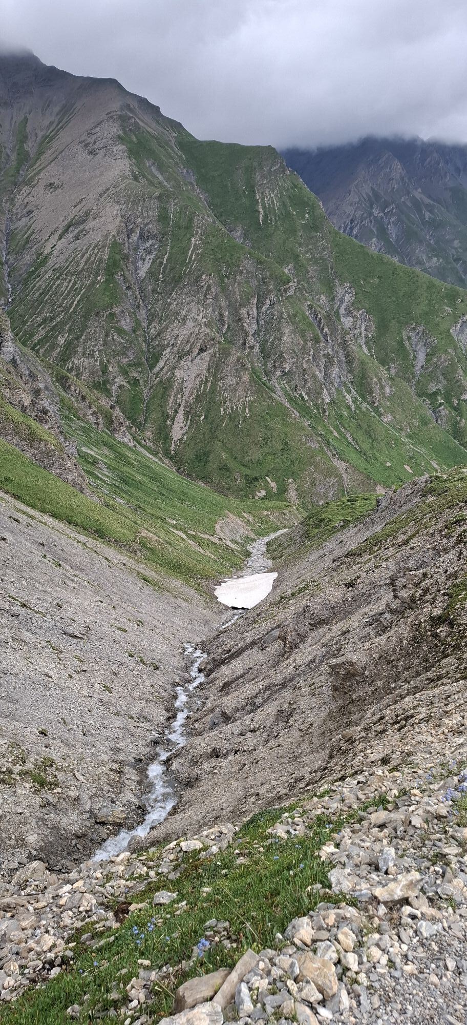
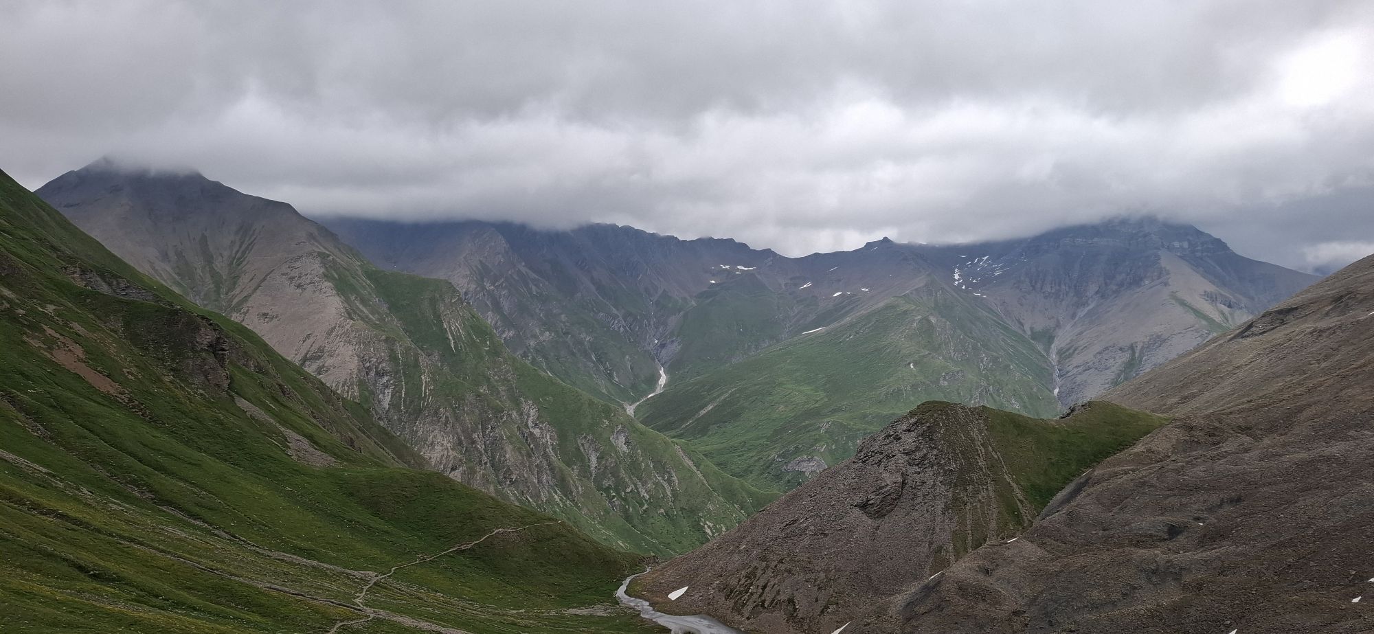
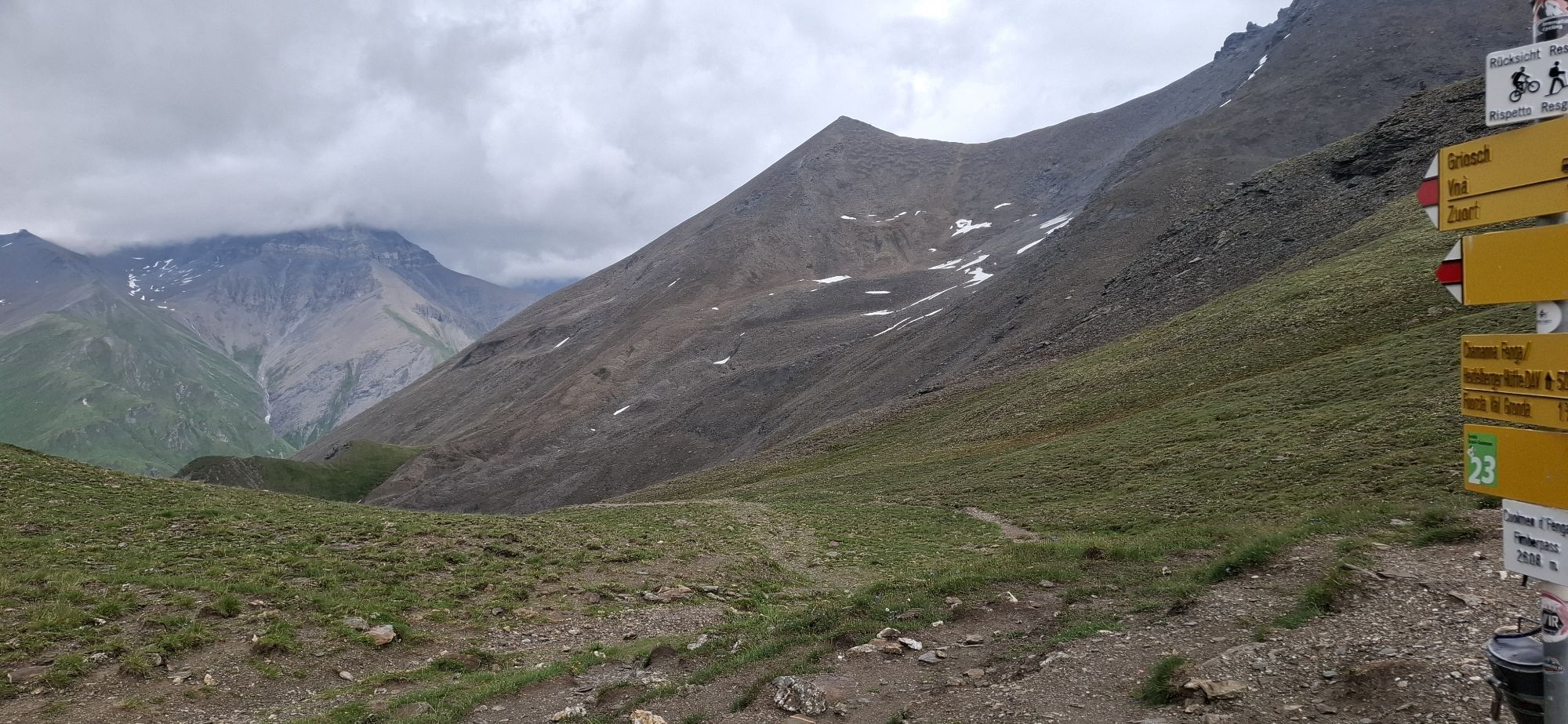
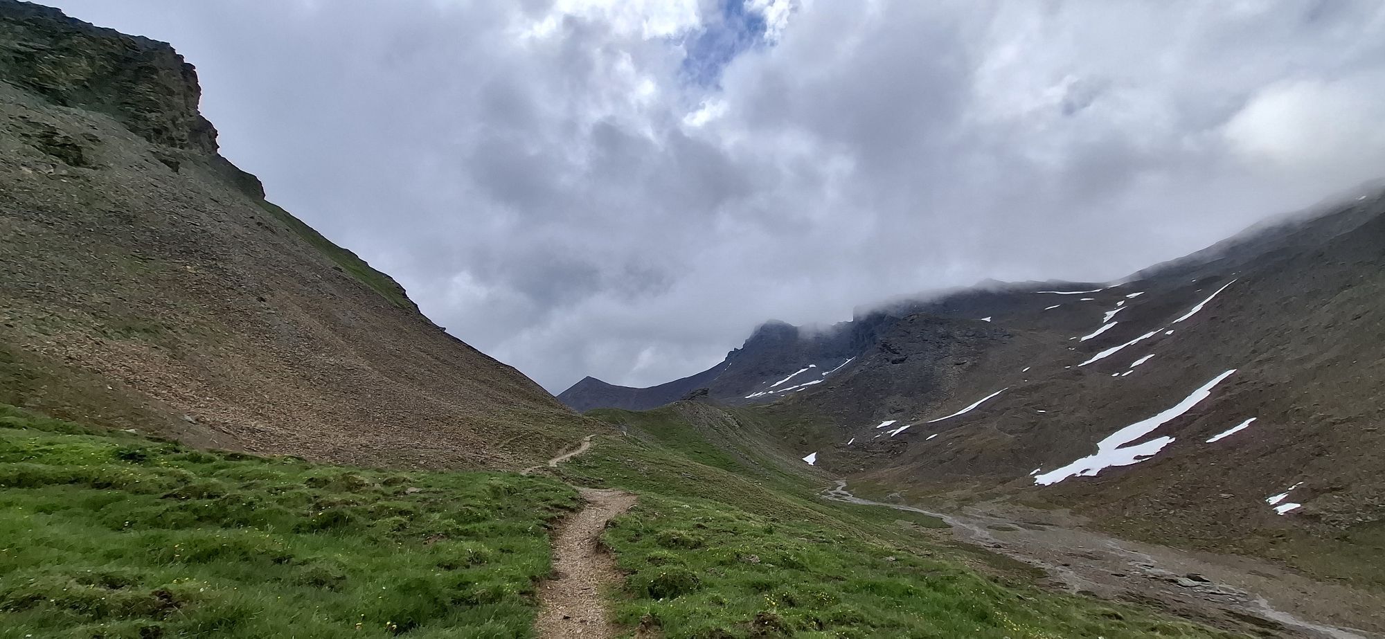
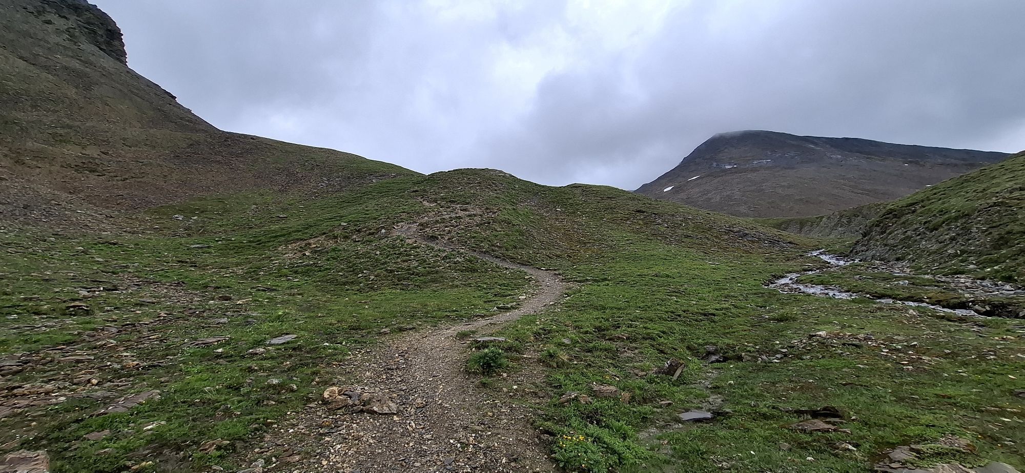
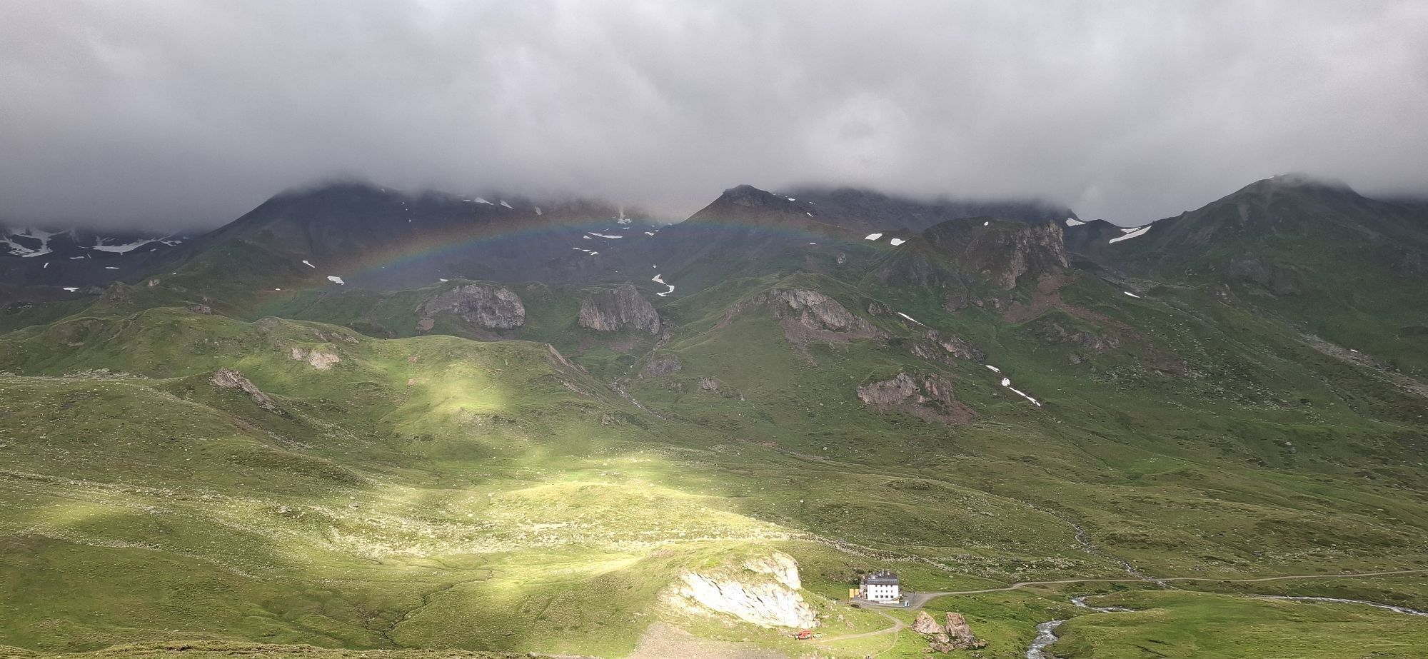
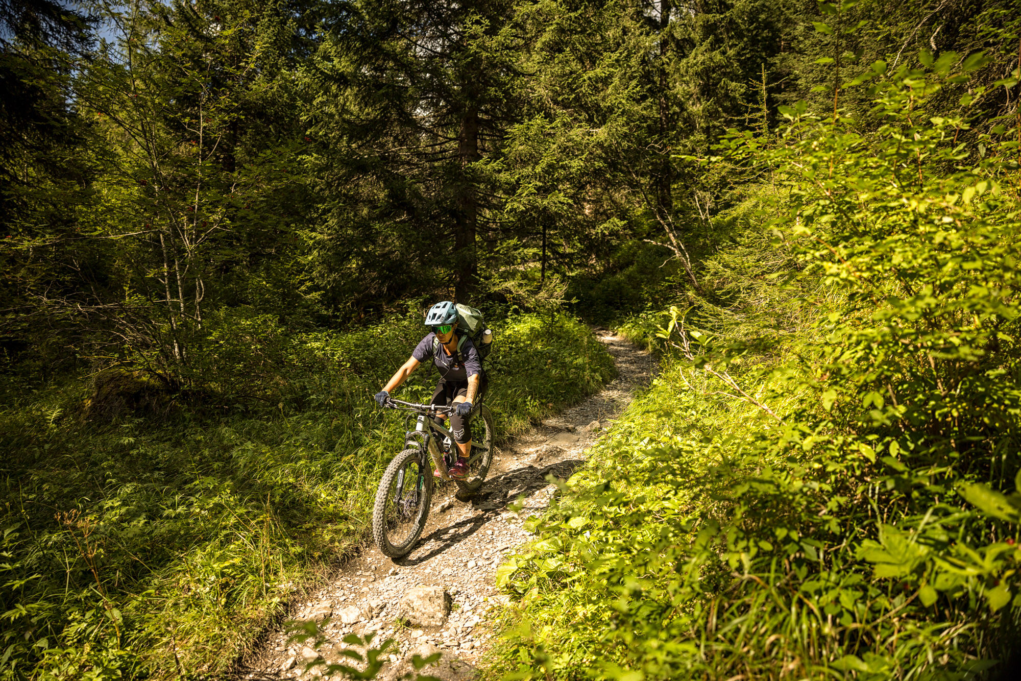
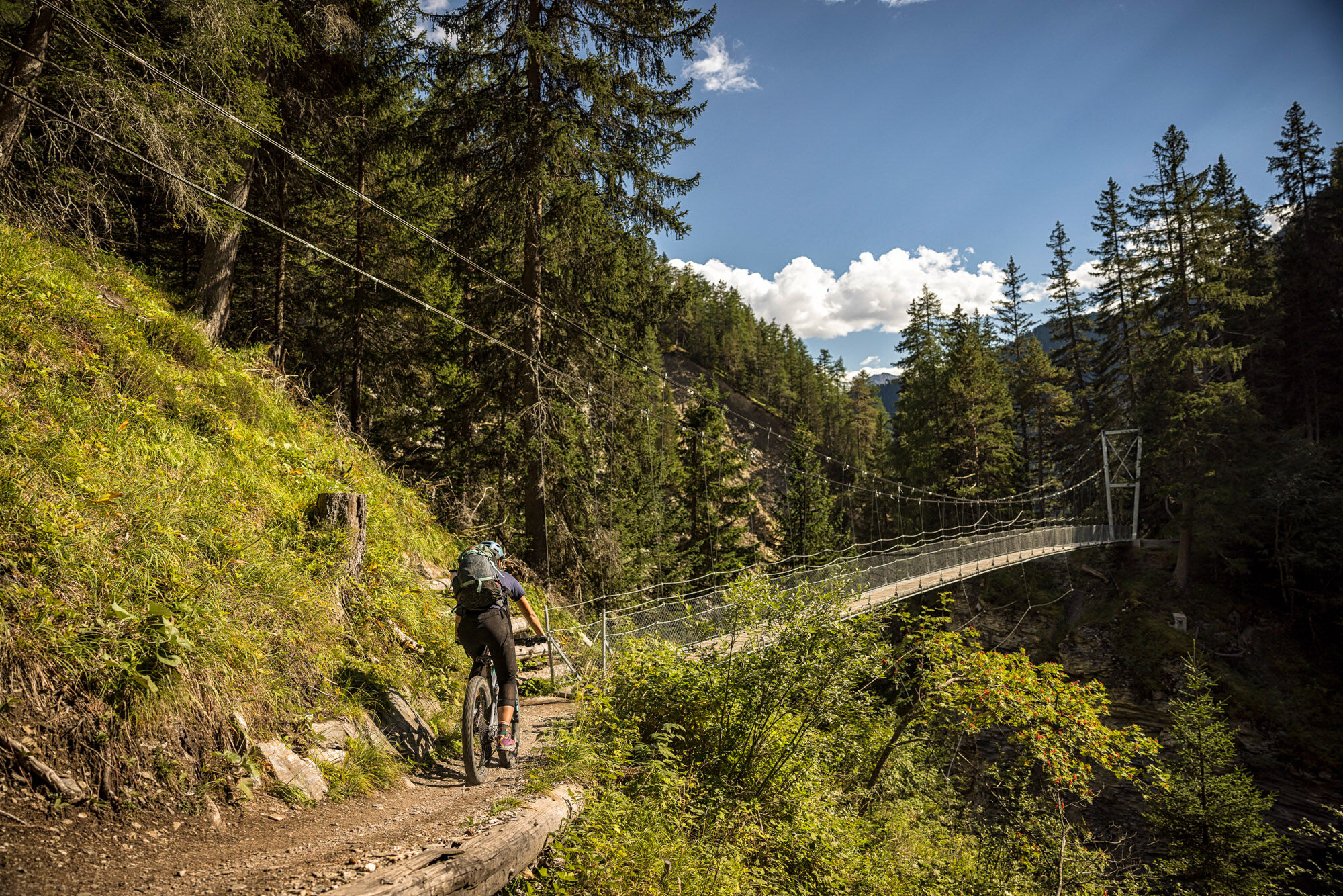
Rocky, alpine, and with a brilliant panoramic view over the mountain world, the first stage of the mountain bike route "Trai(l)s Vals" stands out. Pure alpine trails indeed! The first 360° panorama awaits...
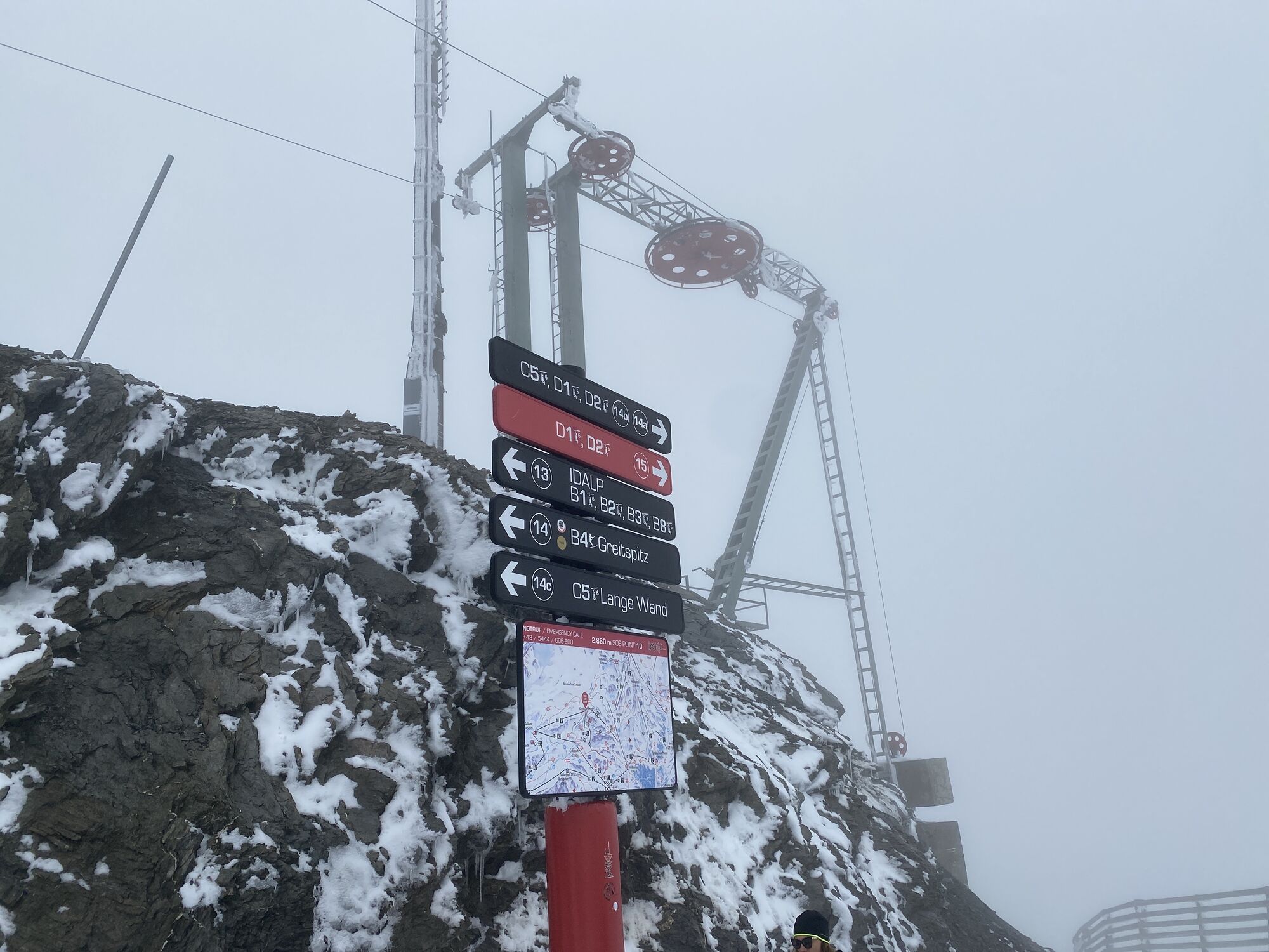
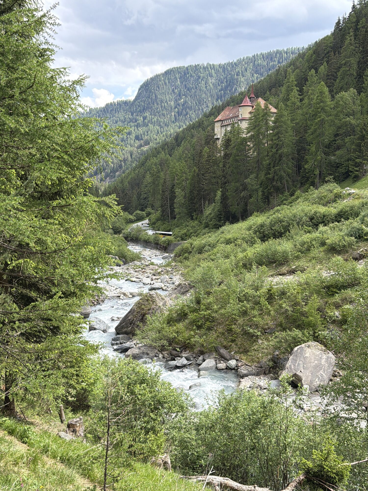
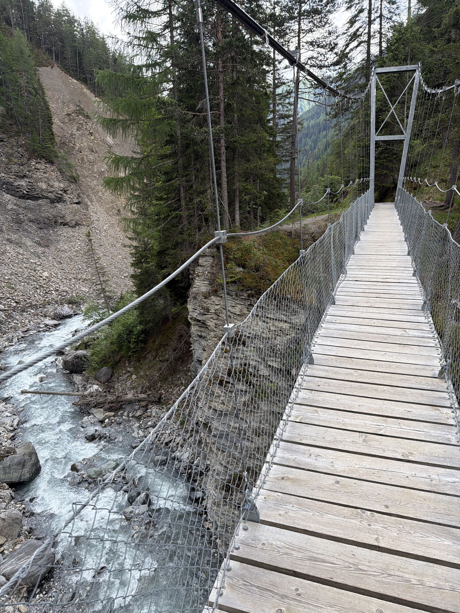
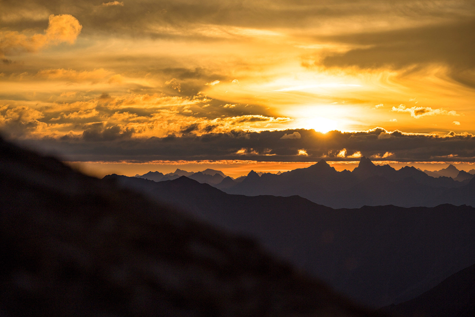
Rocky, alpine, and with a brilliant panoramic view over the mountain world, the first stage of the mountain bike route "Trai(l)s Vals" stands out. Pure alpine trails indeed! The first 360° panorama awaits at Greitspitz after the first steeper climb. Then it continues on the Smuggler Trail over the ridge to Salaaser Kopf, where a flow trail leads towards Zeblasjoch. Here starts a section along the scree of the "Piz Rots" mountain flank with a carrying section up to Fuorcla Val Gronda afterwards. Arriving on the ridge, you stand exactly on the Swiss-Austrian border. The efforts are rewarded with a flowing descent of category S3 and a fantastic view of the alpine nature. Then follows a partly rocky trail down towards Heidelberger Hütte, but before reaching the hut, the trail leads left towards Fuorcla Val Fenga – the Fimber Pass. With a last carrying section, you earn the approximately 6 km trail descent to the hamlet of Griosch. The just under 800 meters of altitude difference clearly show in this section – what is still rocky and alpine character up top slowly but surely turns back into green mountain idyll. The last single trail sections of the day lead via Hof Zuort and Val Sinestra to Sent/Scuol.


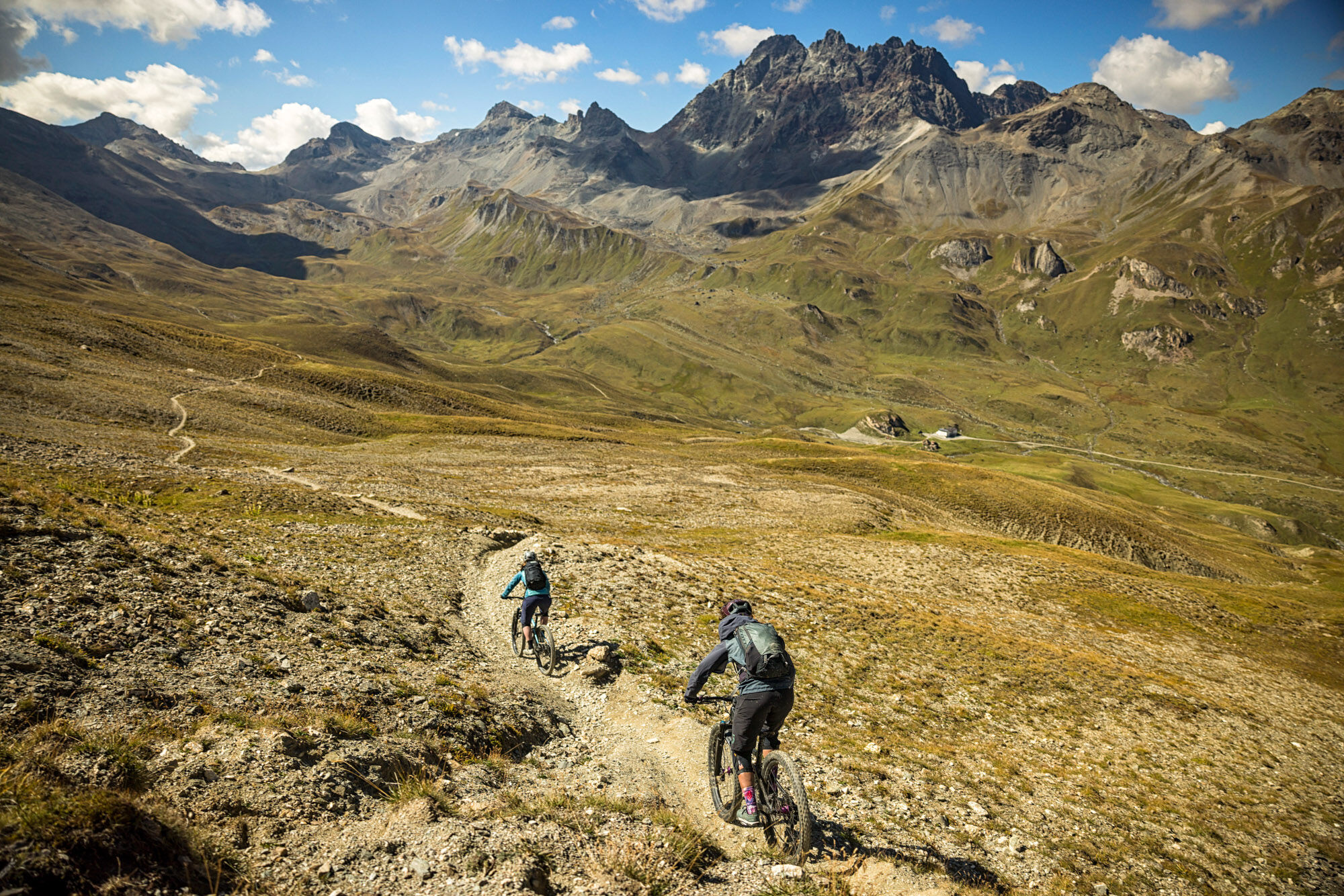
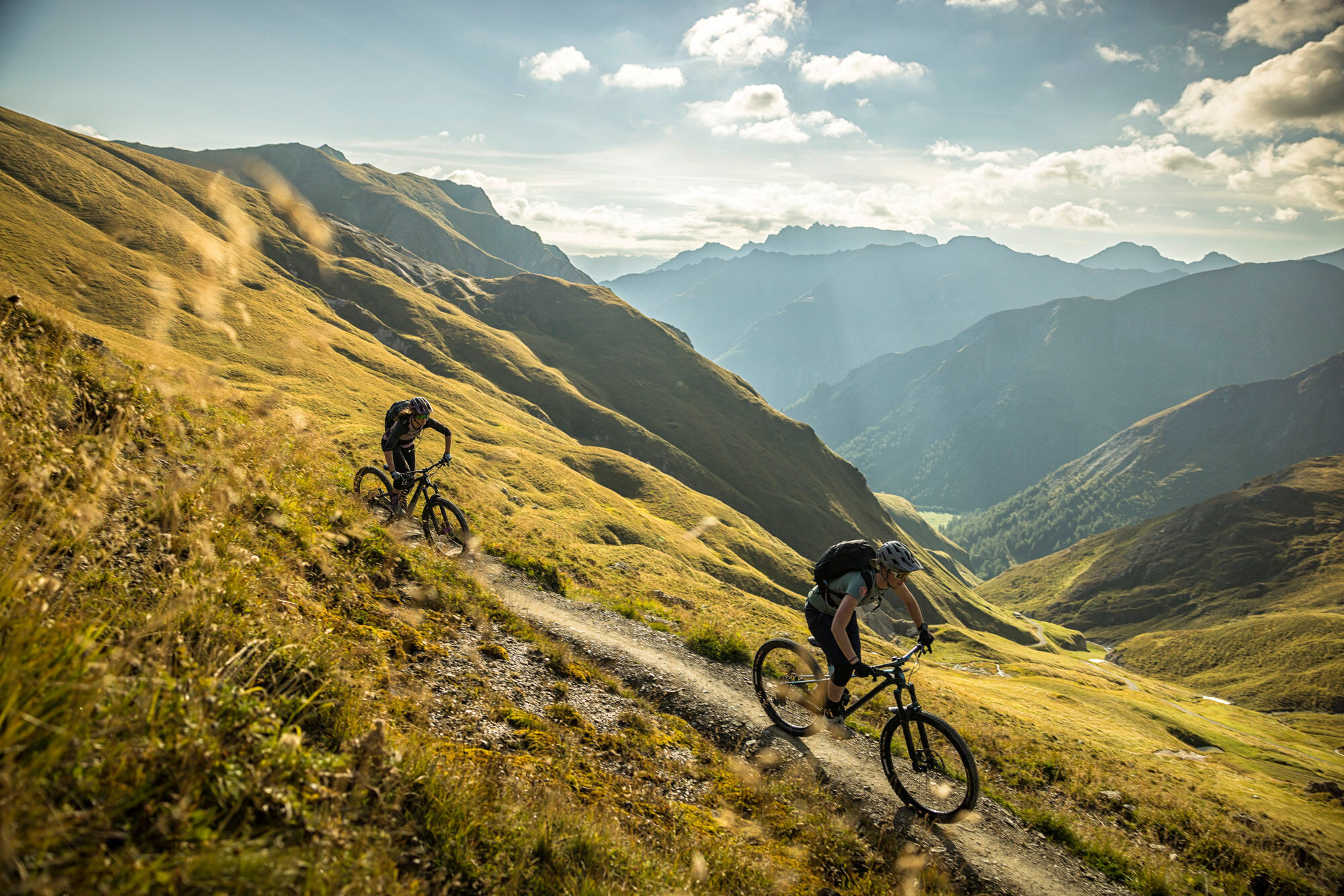
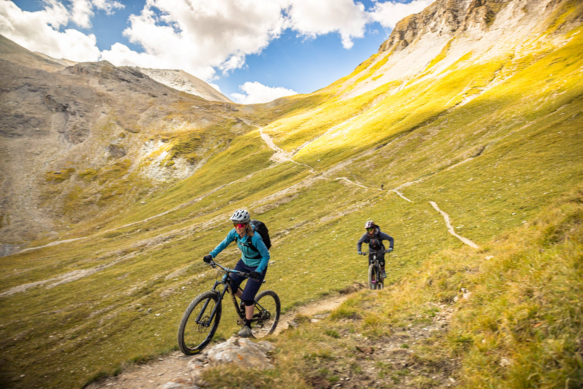

Samnaun – Alp Trida – Flimjoch – Greitspitz – Salaaser Kopf – Zeblasjoch – Fuorcla Val Gronda – Fuorcla Val Fenga/Fimberpass – Griosch – Hof Zuort – Val Sinestra – Sent – Scuol
Helmet, gloves, good footwear, glasses, rain and sun protection, water bottle, repair kit, first aid kit
Snowfields may be possible on high sections even into the summer months.
The route was rated under favorable weather conditions; current weather and forecasts must be strictly observed before starting the tour.
Emergency numbers:
144 Emergency, first aid
1414 Mountain rescue REGA
112 International emergency number
Consideration for hikers
The Grisons mountain bike routes run largely on single trails, which are also marked as hiking paths. Hikers always have the right of way.
From the north: via Landquart – Klosters by car shuttle through the Vereina tunnel (Selfranga - Sagliains) or over the Flüela Pass into the Lower Engadin on H27, turn left at Vinadi towards Samnaun
From the east: via Landeck / Austria towards Reschen Pass on the B180, from Kajetansbrücke towards Spiss – Samnaun on the L348
From the south: via Reschen Pass to Kajetansbrücke, then towards Spiss – Samnaun on the L348
By the Rhaetian Railway (from Chur, Landquart/Prättigau, or from the Upper Engadin) hourly to Scuol-Tarasp station
Continue by PostBus to the PostBus stop Samnaun-Ravaisch (line 921, hourly connections)
Samnaun local bus: hourly connections to Samnaun village
Paid parking lots at the entrance to Samnaun village
S3
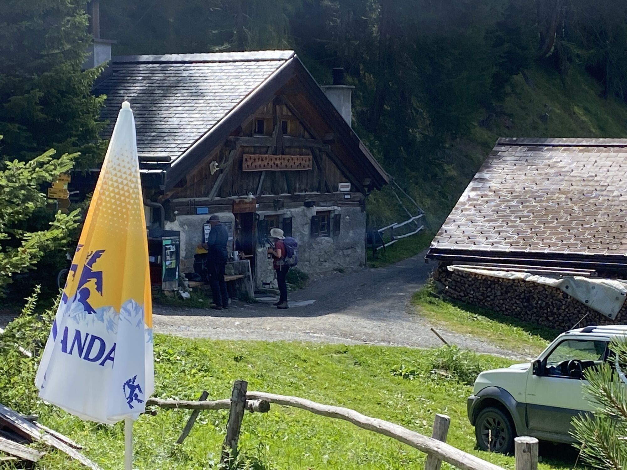
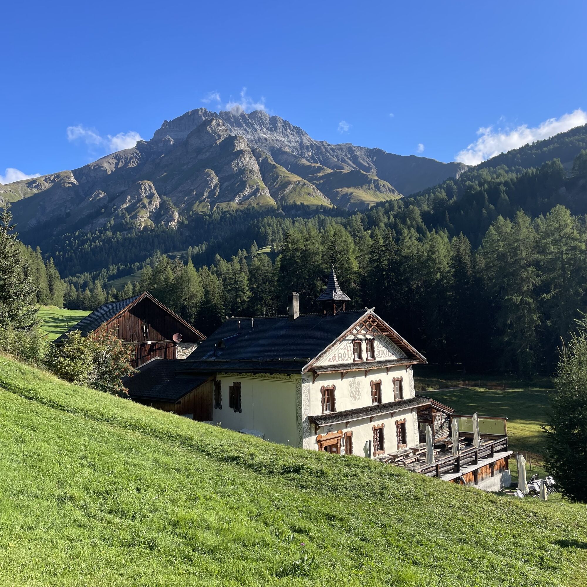
Heidelberger Hütte and Hof Zuort are perfect for a stop to refresh (observe opening hours).
Kamery internetowe z trasy

Popularne wycieczki w okolicy
-
4,8
Hiking trail Piz Buin - view
średniWędrówka 14,4 km -
5,0
Menta Alm - Scheibenalm
światłoWędrówka 11,4 km -
5,0
Rundwanderung Berglisee, Mathon
ciężkiWędrówka 11,1 km -
3,2
Bielerhöhe and circular hike around the Silvretta reservoir
średniWędrówka 13,1 km -
4,5
Sonnenkogel - Friedrichshafener lodge
średniWędrówka 13,2 km -
4,7
Jamtal lodge
średniWędrówka 19,6 km -
5,0
Großer Piz Buin (3.312m), Normalweg 2019 über Ochsentaler Gletscher
ciężkiWycieczka wysokogórska 24,1 km -
3,7
Bielerhöhe - Vermuntkopf - Bielerhöhe
średniWędrówka 17 km -
4,8
Silvretta Stausee
światłoWędrówka 6,22 km -
5,0
Samnaun Dorf – Muttler
ciężkiWędrówka 14,8 km
Wędrówki i tropienie


Nie przegap ofert i inspiracji na następne wakacje
Twój adres e-mail została dodana do listy mailingowej.





