


Trai(l)s Vals – 3rd stage: Scuol – Val Müstair
Poziom trudności: S3
Zdjęcia naszych użytkowników
-
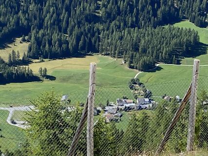
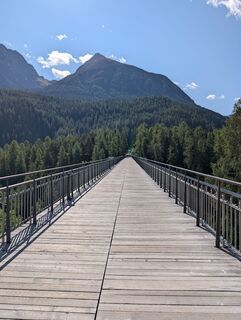
 © Daniel BulfoniUtworzono dnia 24.08.2022
 -
 © Daniel BulfoniUtworzono dnia 24.08.2022
 -

 © lotharkoernerUtworzono dnia 22.07.2025
 -
 © lotharkoernerUtworzono dnia 22.07.2025
 -
 © lotharkoernerUtworzono dnia 18.07.2025
 -
 © Pm MauretterUtworzono dnia 20.06.2025
 -
 © Pm MauretterUtworzono dnia 20.06.2025
 -
 © Pm MauretterUtworzono dnia 19.06.2025
 -
 © Pm MauretterUtworzono dnia 19.06.2025
 -
 © Matej Mikus 1Utworzono dnia 25.07.2024
 -
 © Gabriel LorenzUtworzono dnia 16.08.2023
 -
 © Gabriel LorenzUtworzono dnia 16.08.2023
 -
 © Daniel BulfoniUtworzono dnia 24.08.2022
 -
 © Daniel BulfoniUtworzono dnia 24.08.2022
 -
 © Daniel BulfoniUtworzono dnia 24.08.2022
 -
 © Daniel BulfoniUtworzono dnia 24.08.2022
 -
 © Daniel BulfoniUtworzono dnia 24.08.2022
 -
 © Daniel BulfoniUtworzono dnia 24.08.2022
 -
 © Daniel BulfoniUtworzono dnia 24.08.2022
 -

 © Marcel ZielinskiUtworzono dnia 11.09.2025
 -
 © Marcel ZielinskiUtworzono dnia 11.09.2025
 -
 © madrUtworzono dnia 03.08.2025
 -
 © madrUtworzono dnia 03.08.2025
 -
 © madrUtworzono dnia 03.08.2025
 -

 © Sergio FontanaUtworzono dnia 21.07.2025
 -
 © HeikeGEUtworzono dnia 10.07.2025
 -
 © HeikeGEUtworzono dnia 10.07.2025
 -
 © HeikeGEUtworzono dnia 10.07.2025
 -
 © HeikeGEUtworzono dnia 10.07.2025
 -
 © HeikeGEUtworzono dnia 10.07.2025
 -
 © HeikeGEUtworzono dnia 10.07.2025
 -
 © HeikeGEUtworzono dnia 10.07.2025
 -
 © HeikeGEUtworzono dnia 10.07.2025
 -
 © HeikeGEUtworzono dnia 10.07.2025
 -
 © Thomi WUtworzono dnia 21.06.2025
 -
 © Thomi WUtworzono dnia 21.06.2025
 -
 © Thomi WUtworzono dnia 21.06.2025
 -
 © Daniel MartiUtworzono dnia 31.10.2024

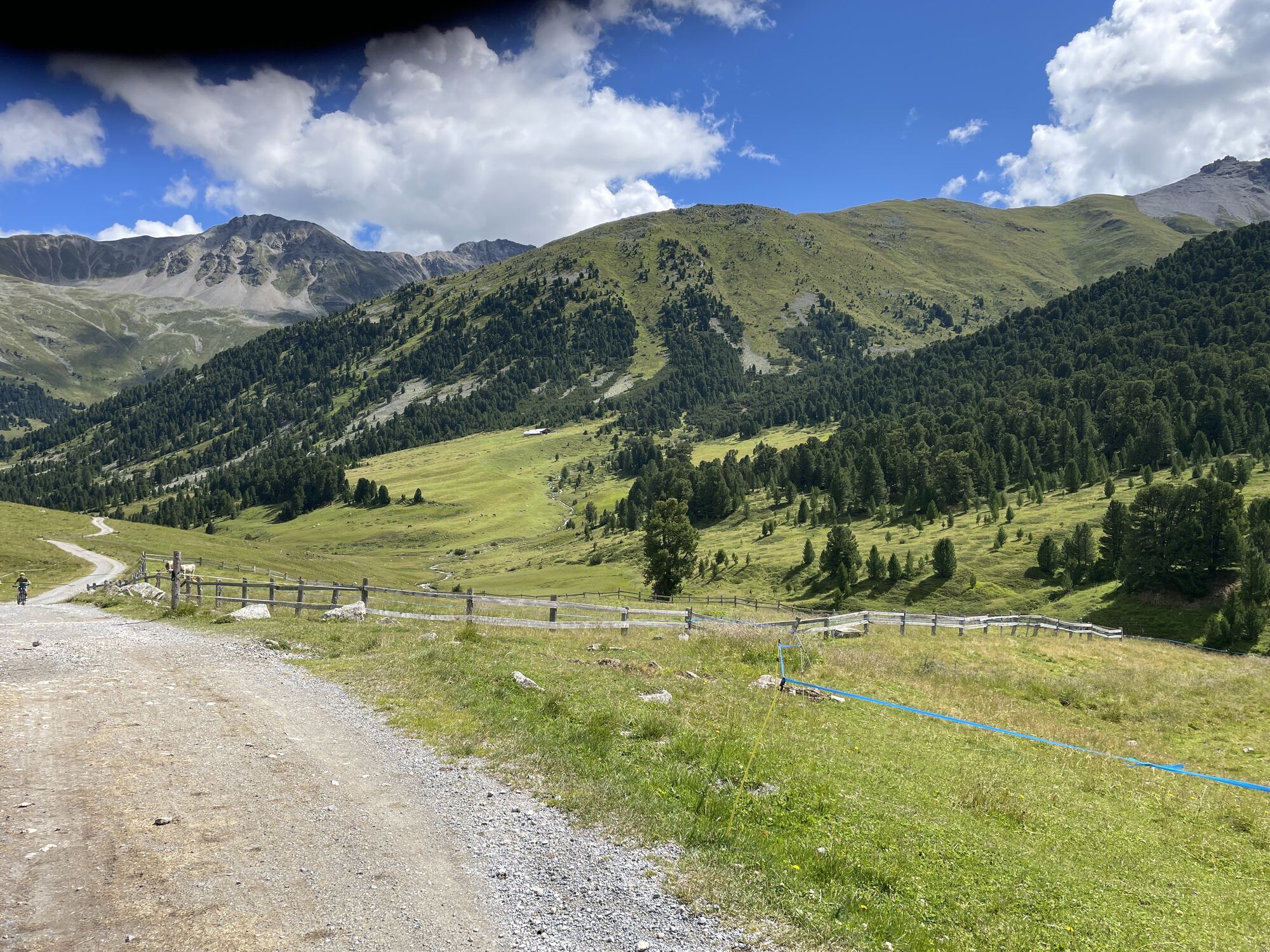


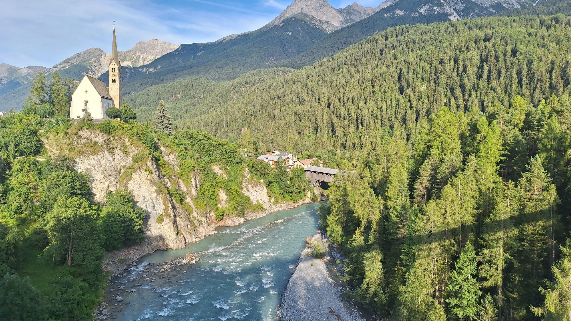
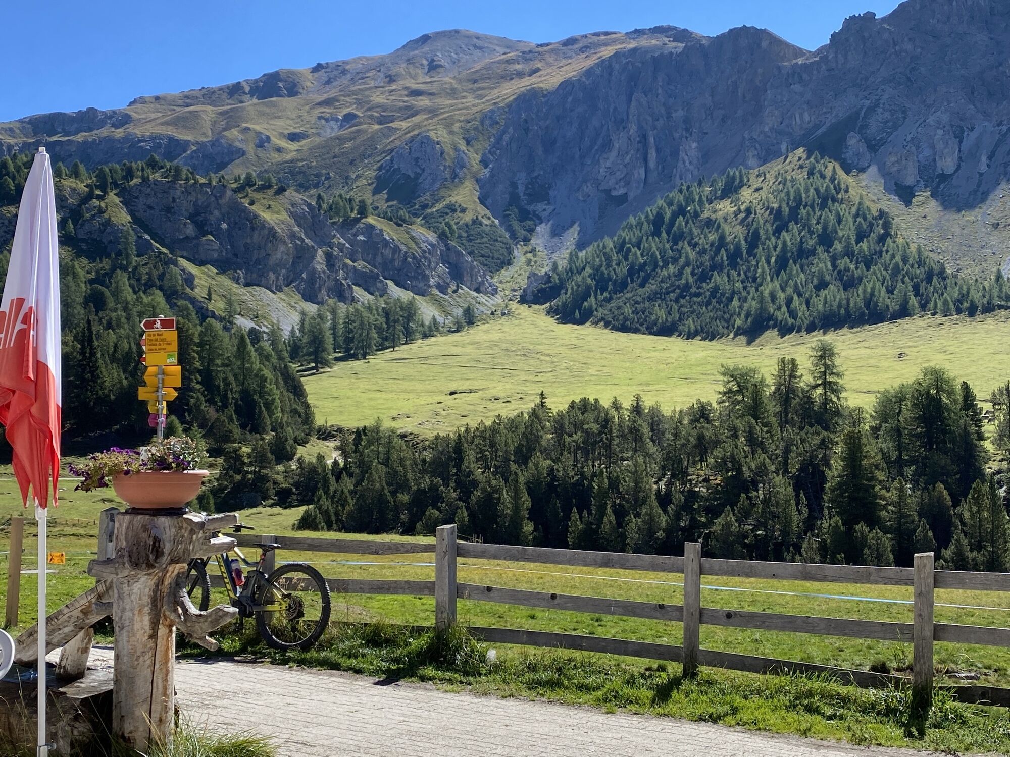


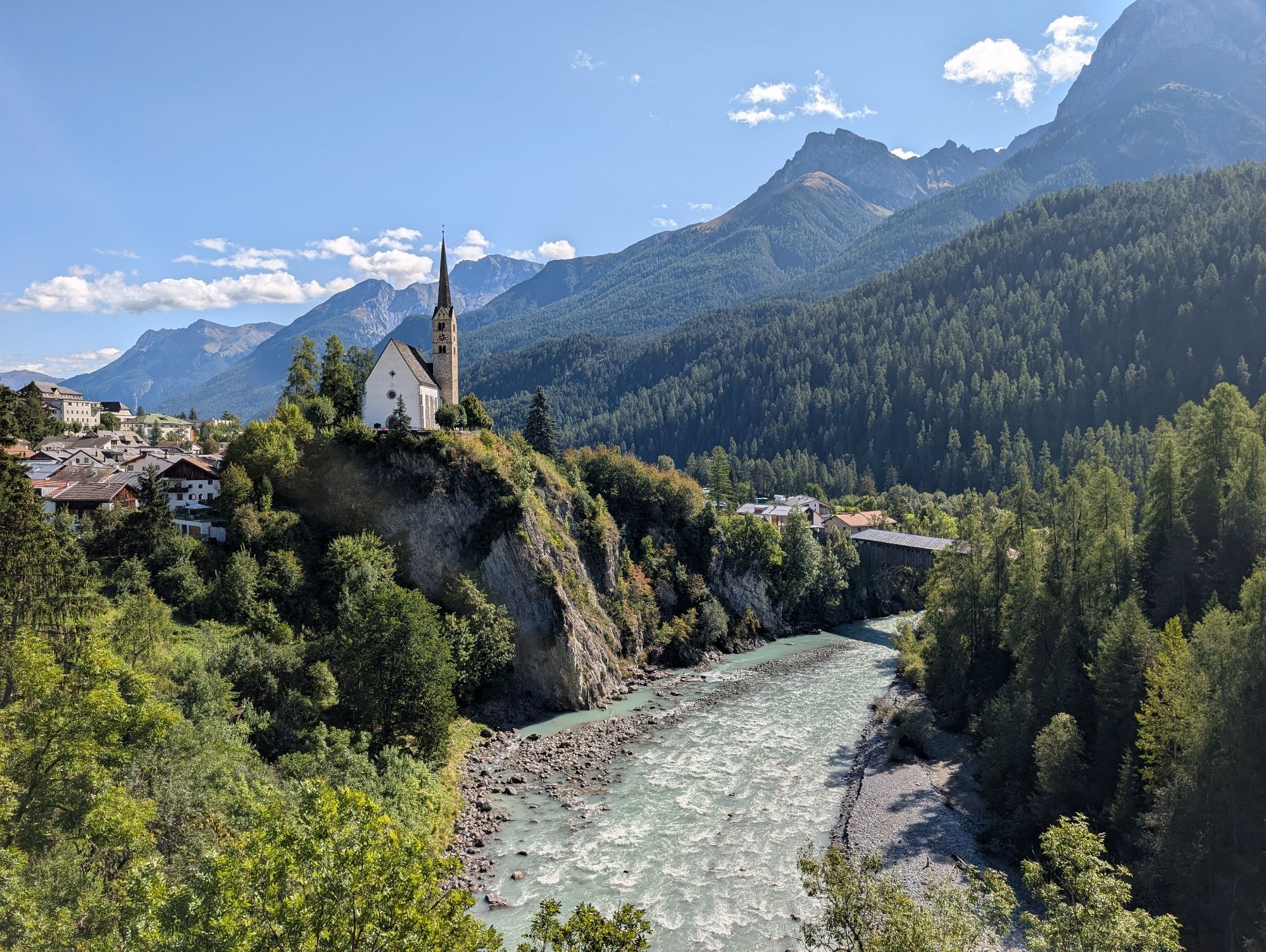

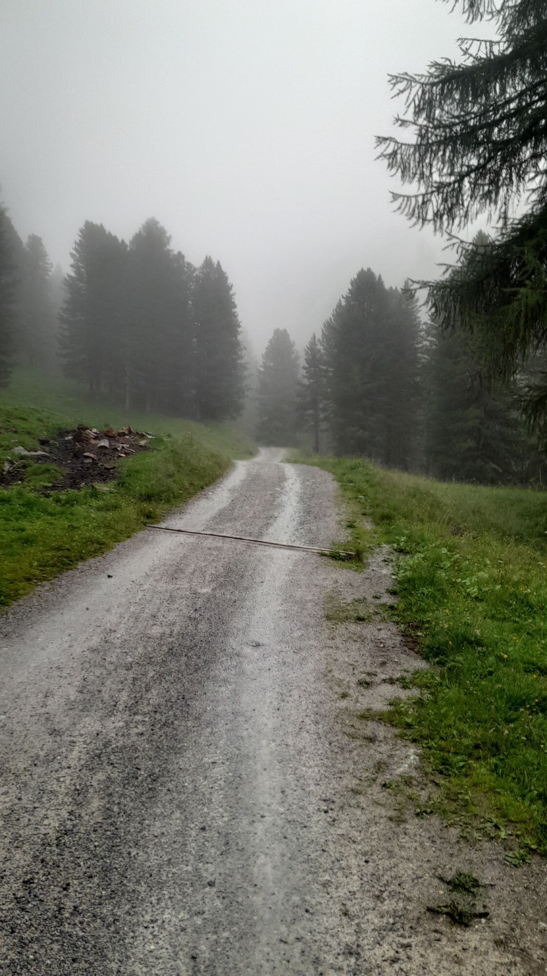


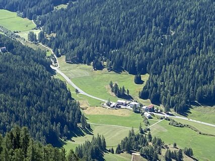
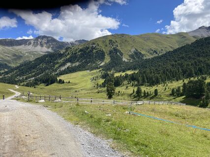
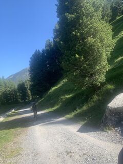
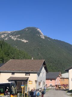
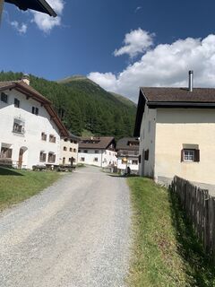
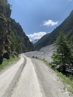
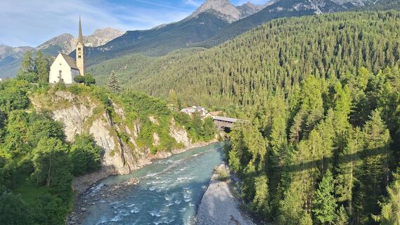
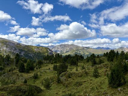
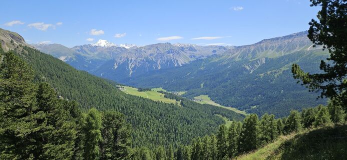
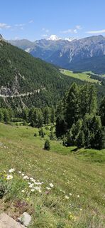
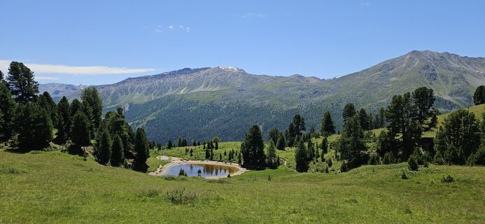
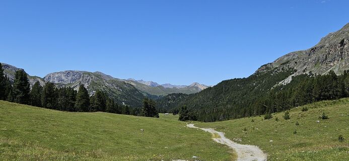
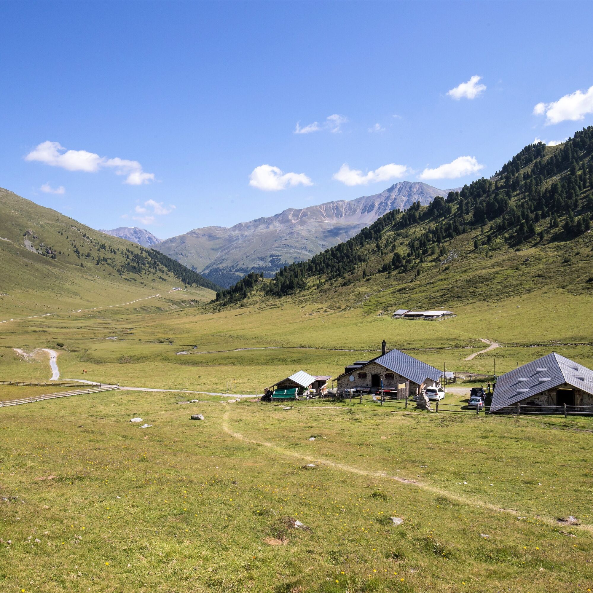
Initially, the route runs almost entirely on forest roads from Scuol to S-charl and then to Alp Astras; immediately following is the adventurous part of the route: the first ascent with a short carry section...
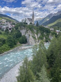
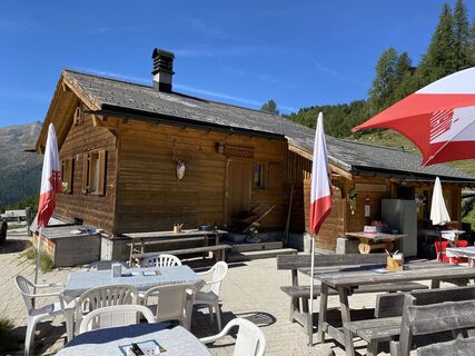
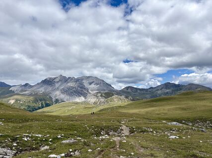
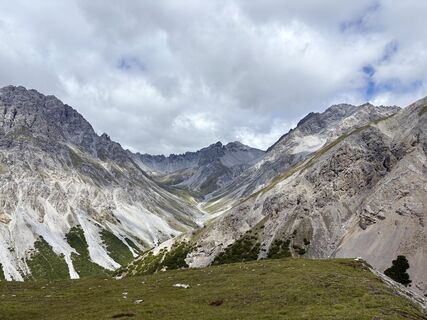
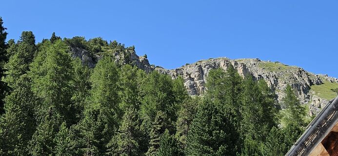
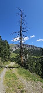
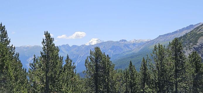
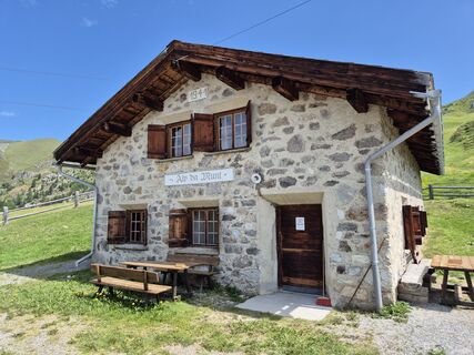
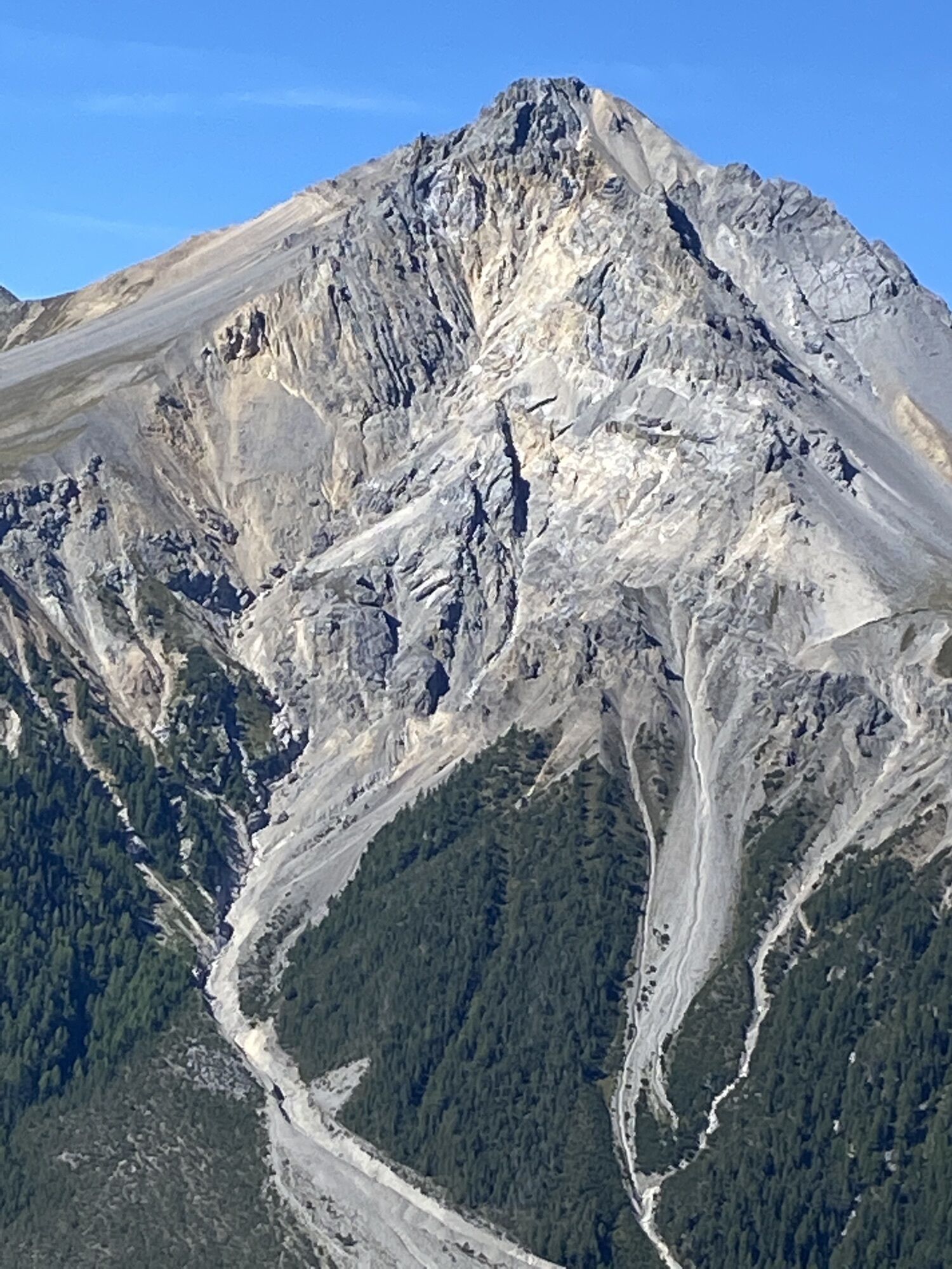
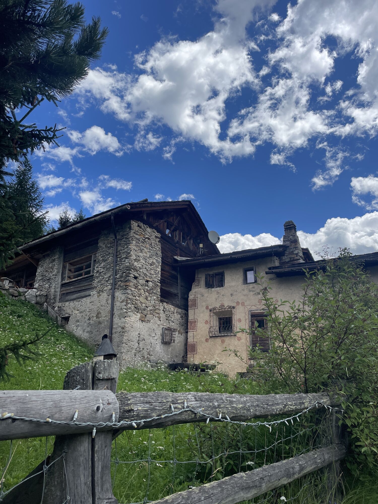
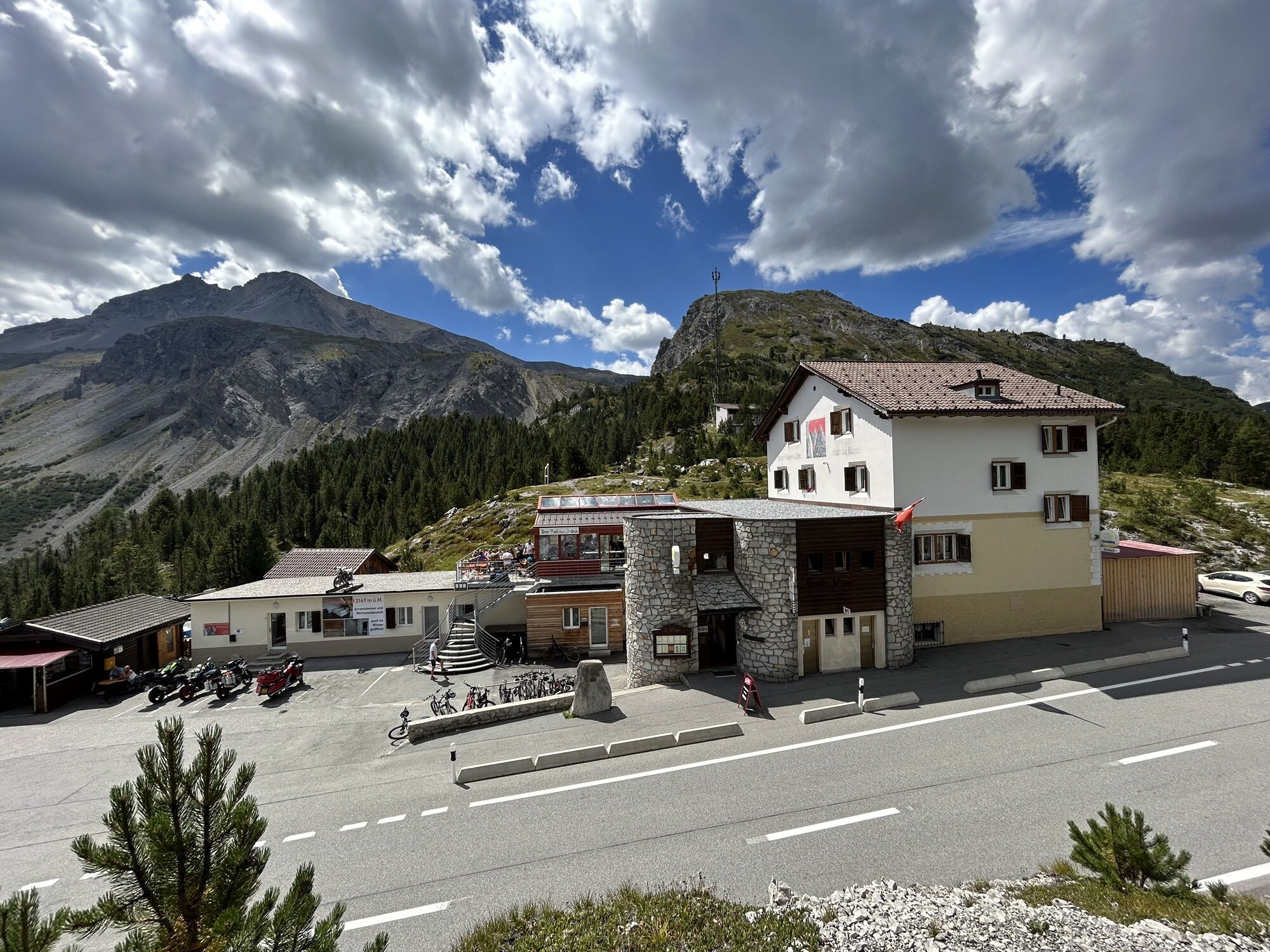
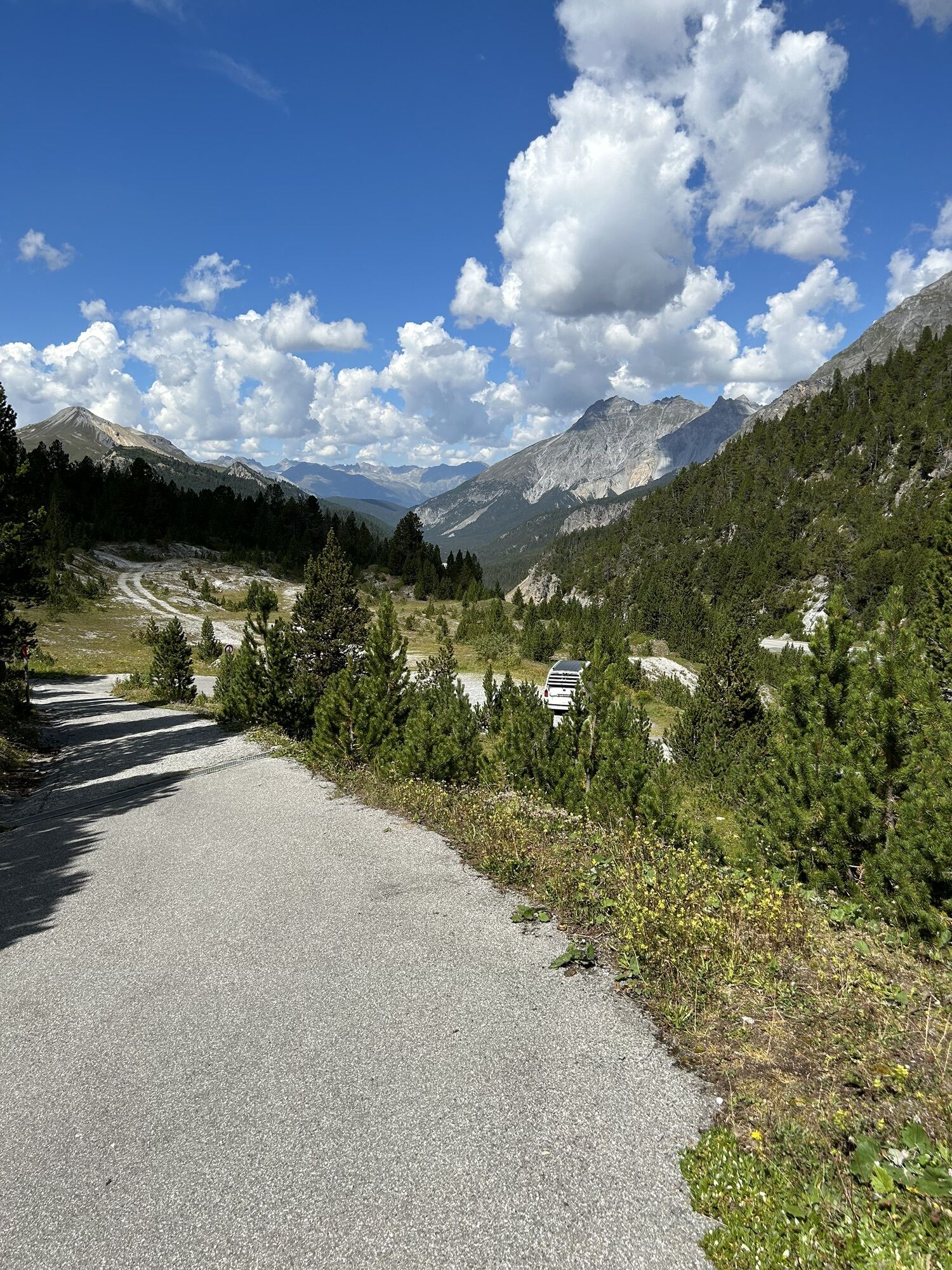
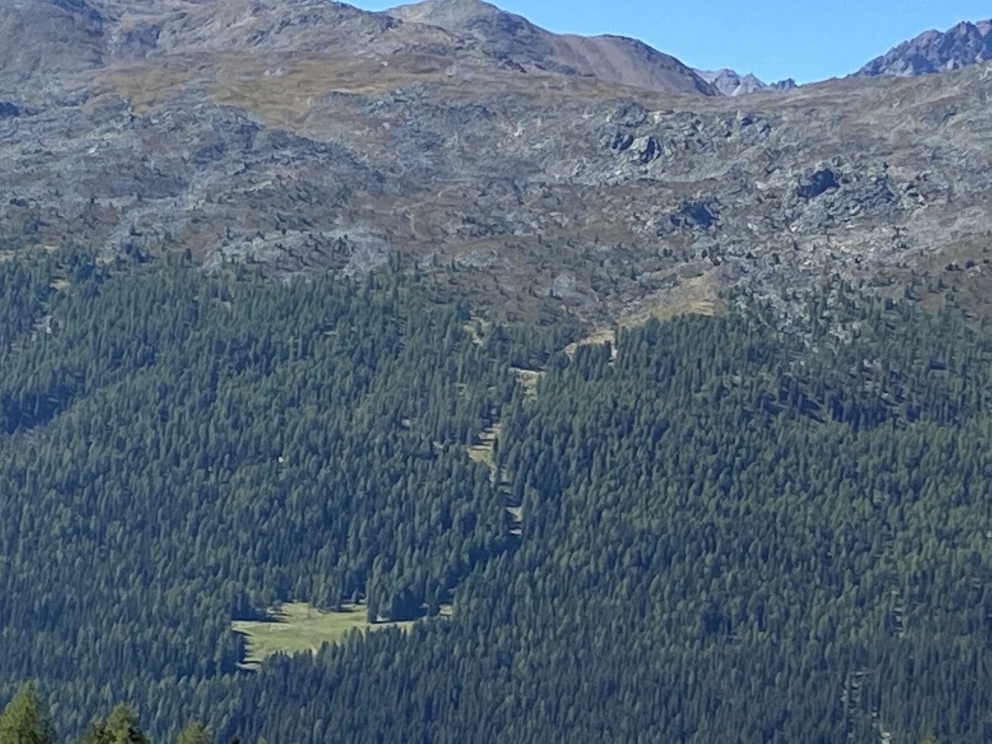
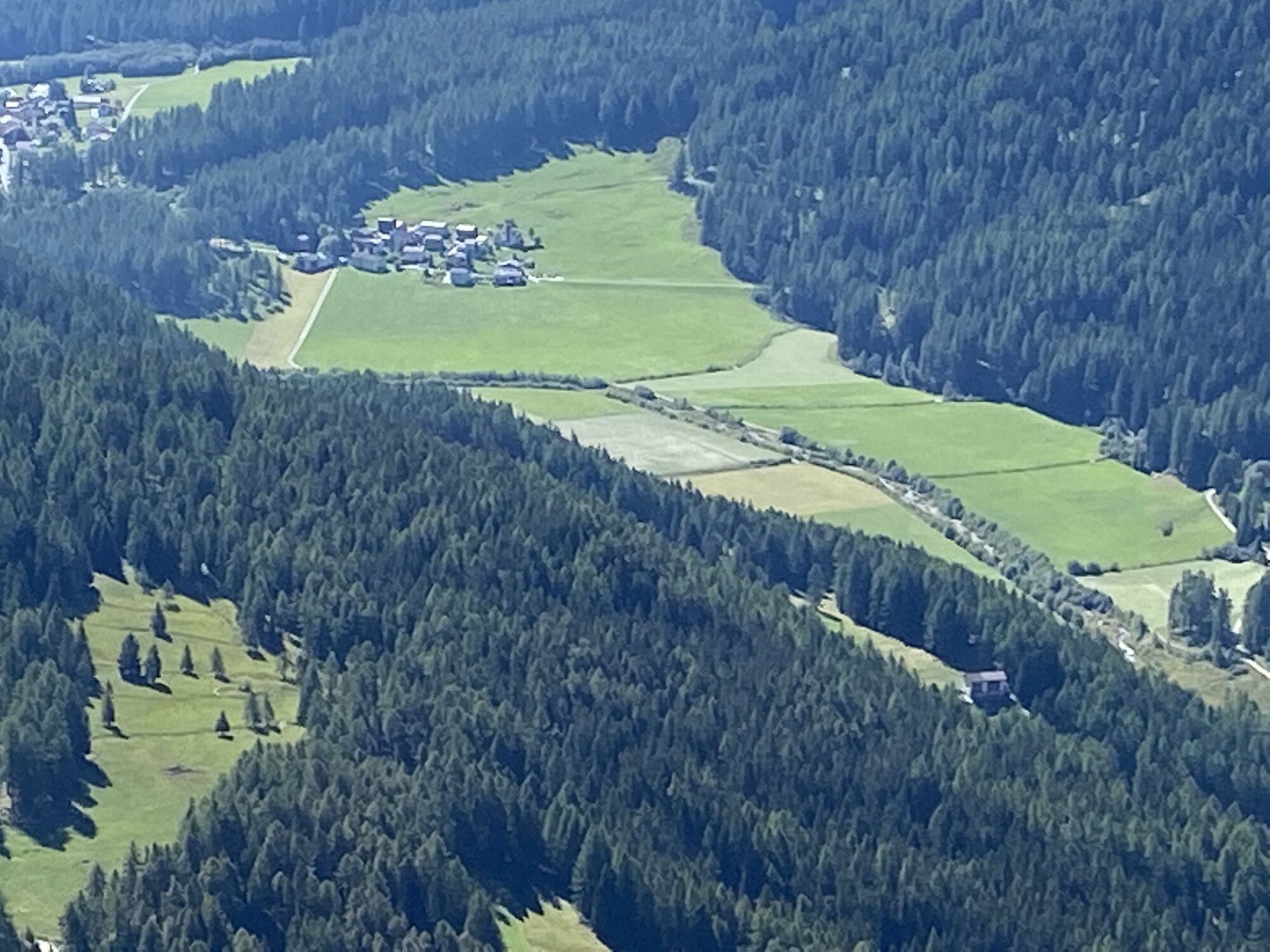
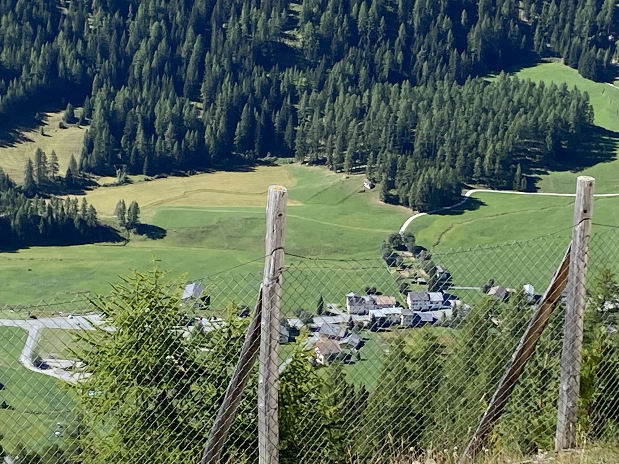
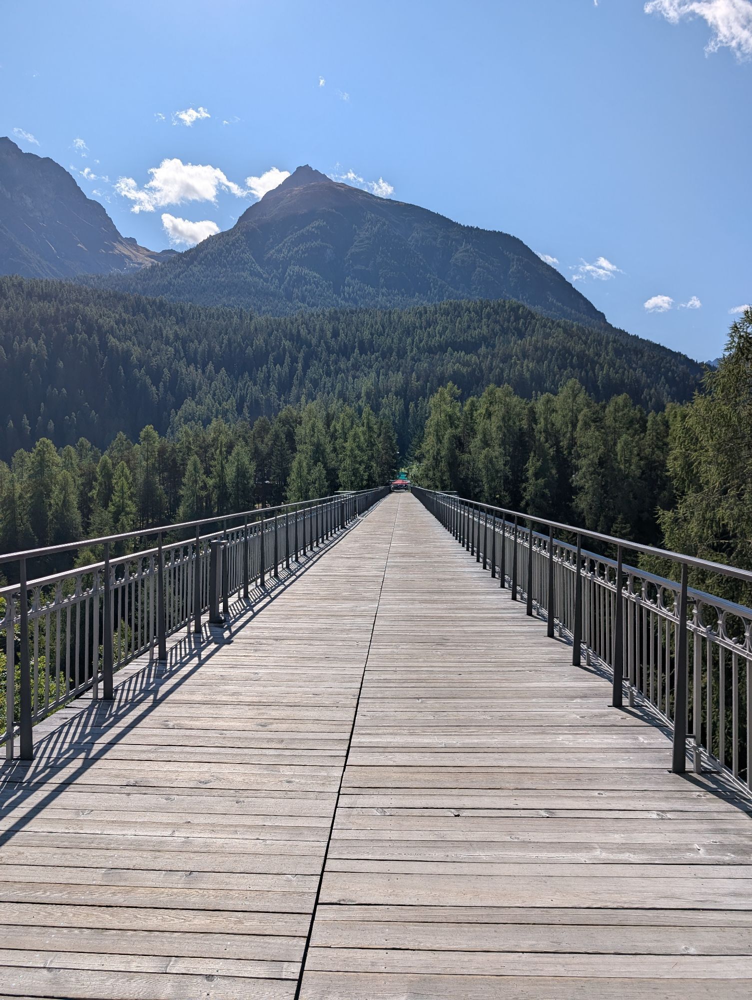
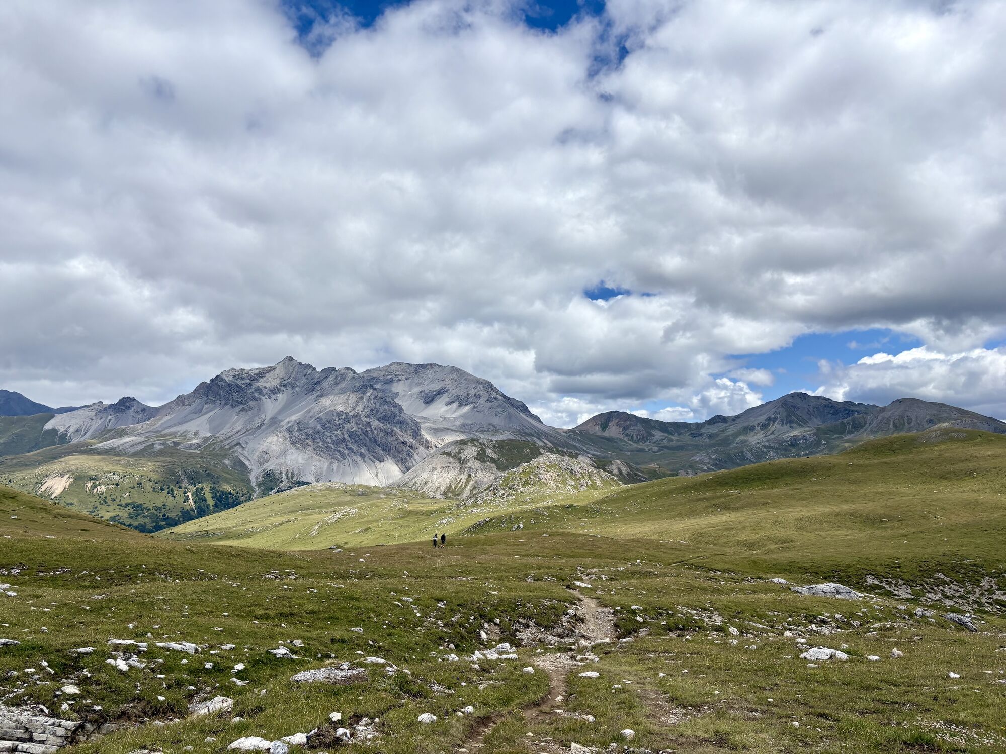
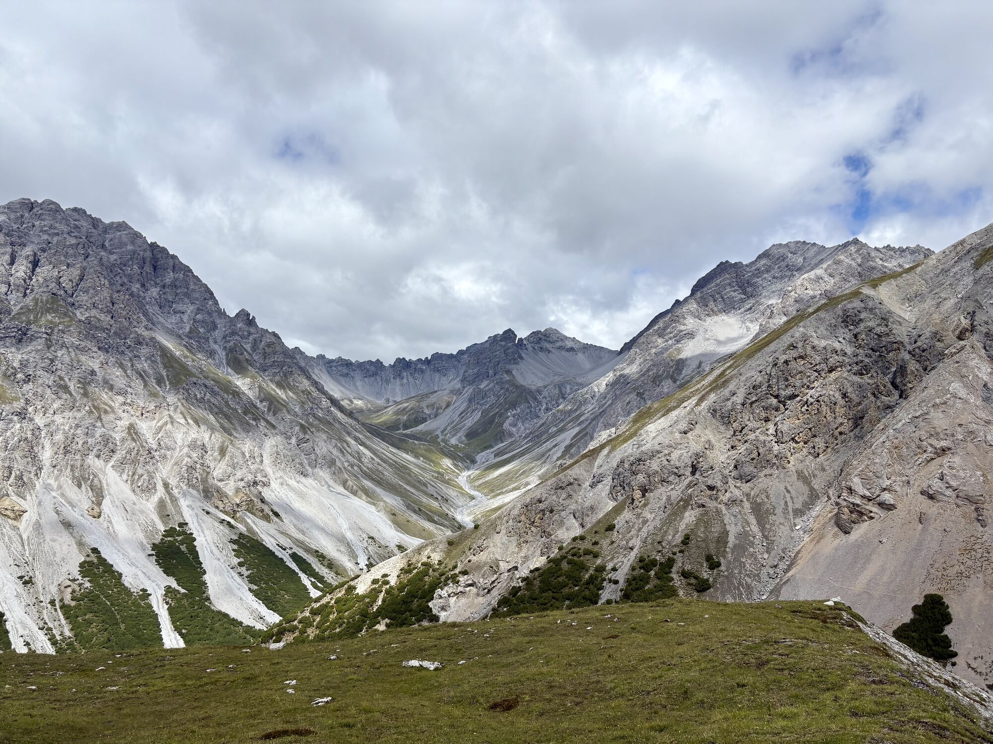
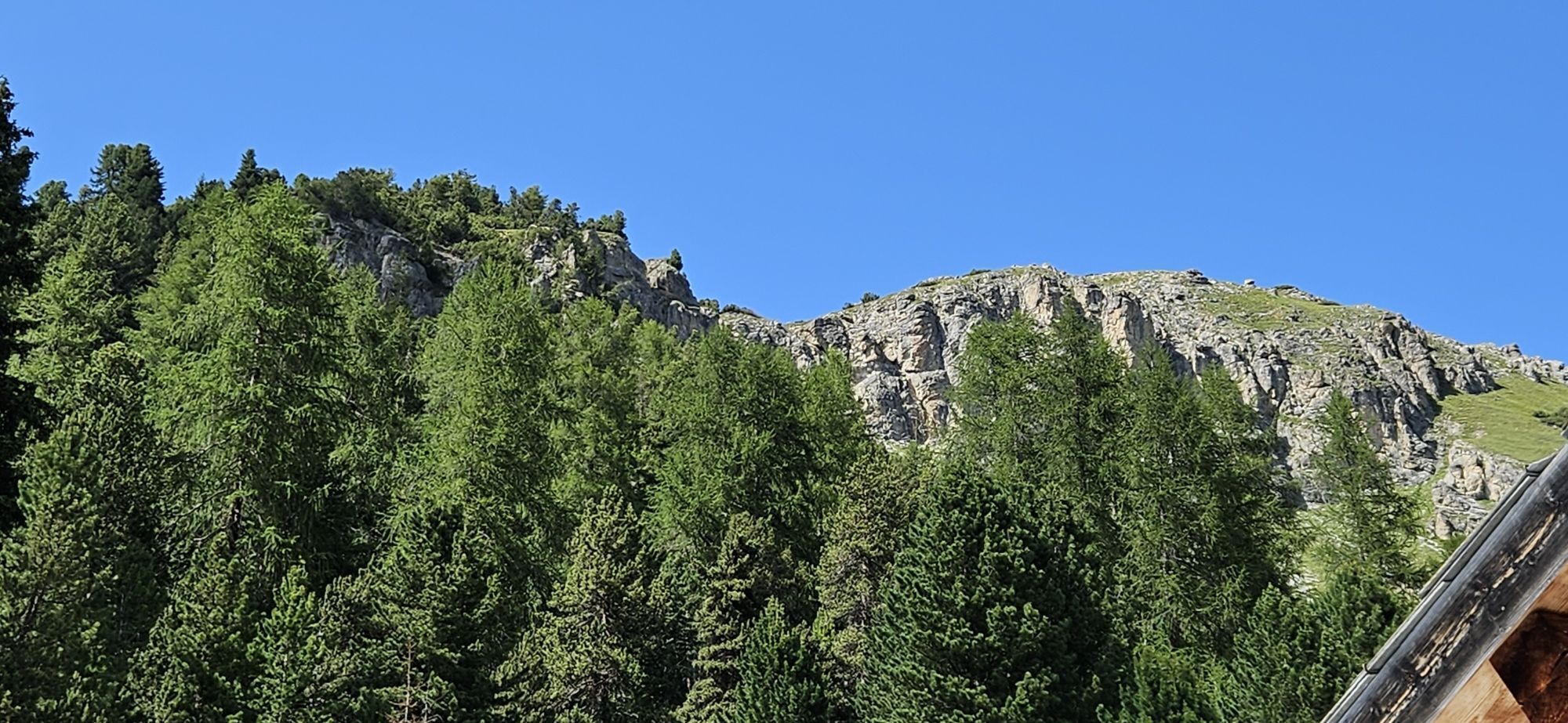
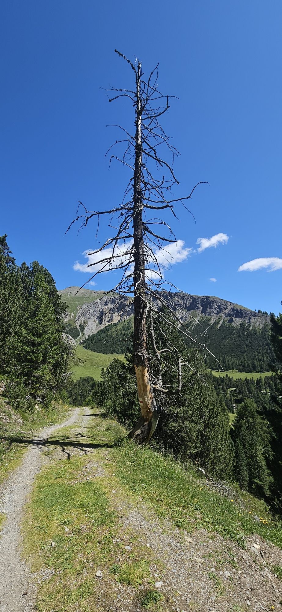
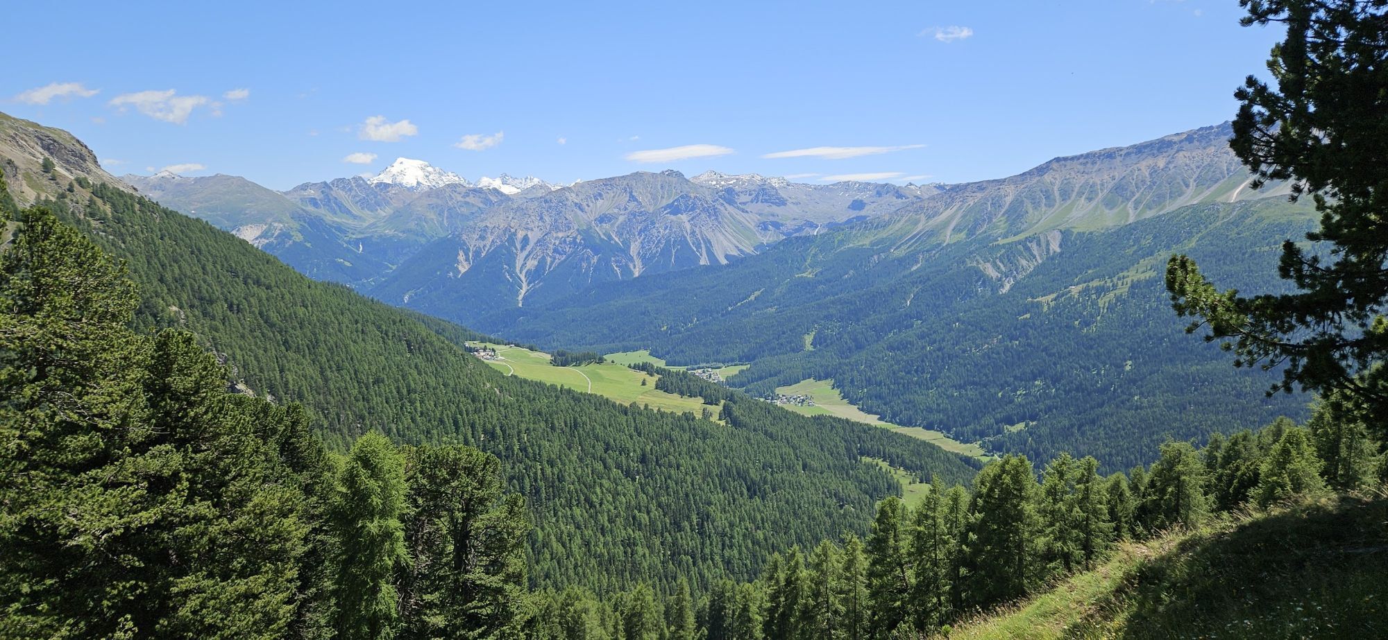
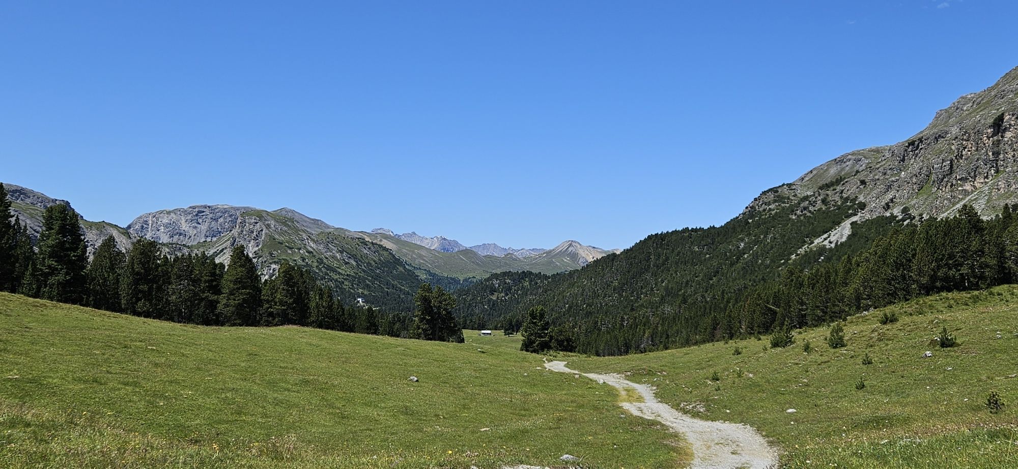
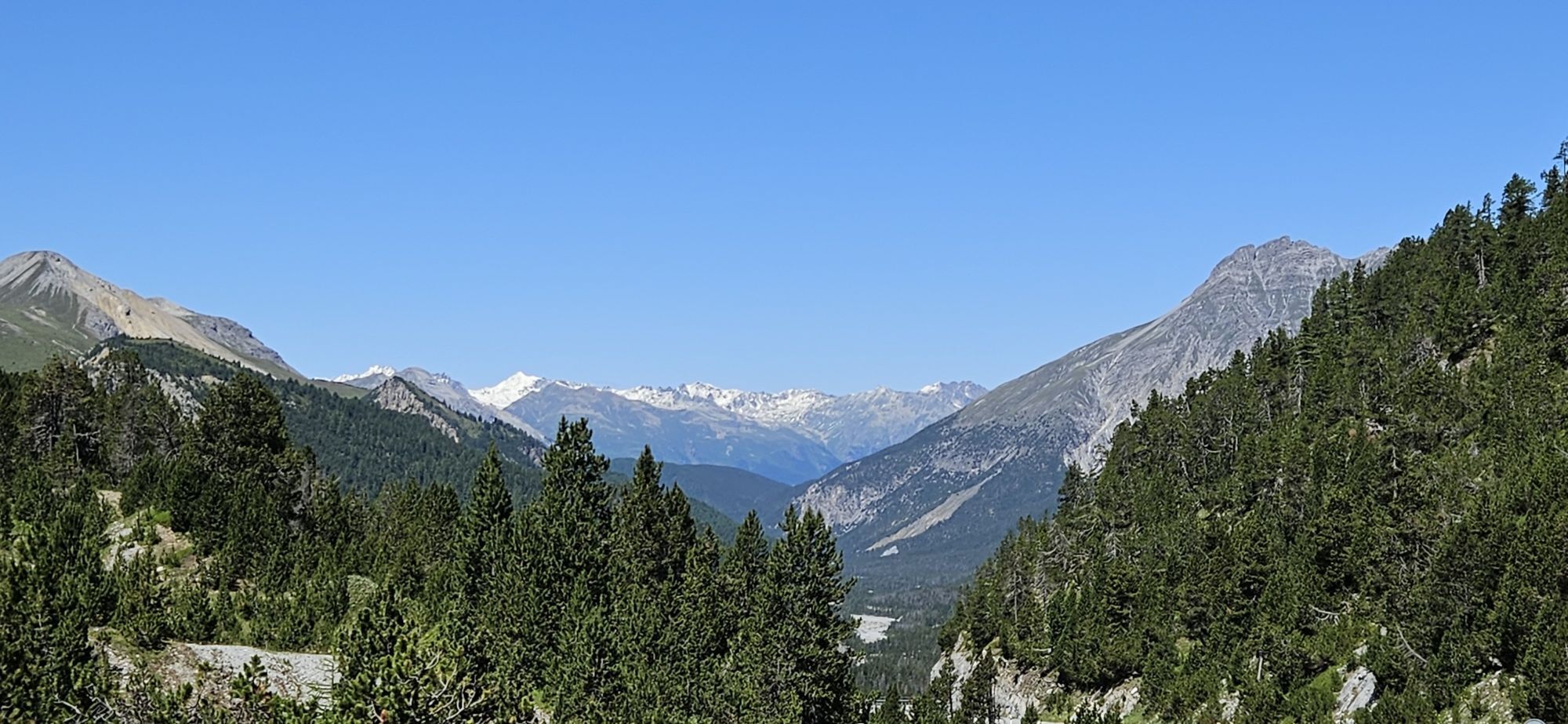
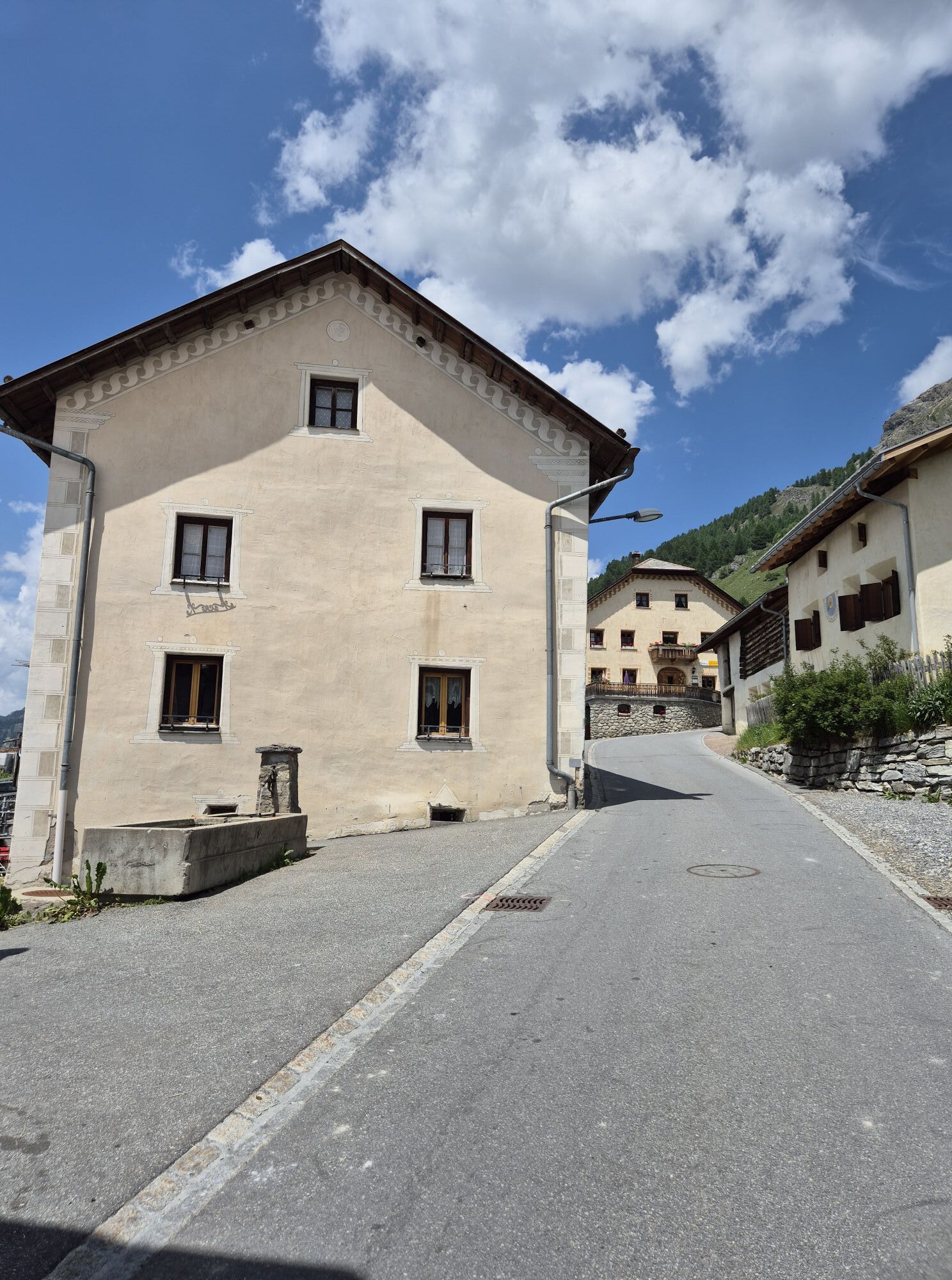
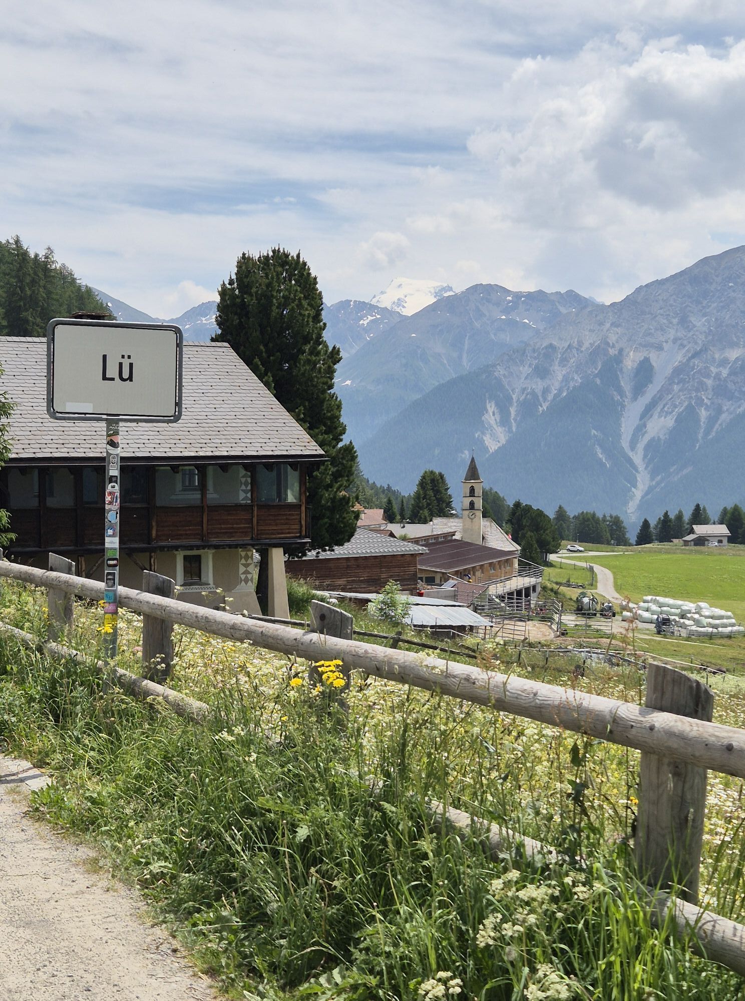
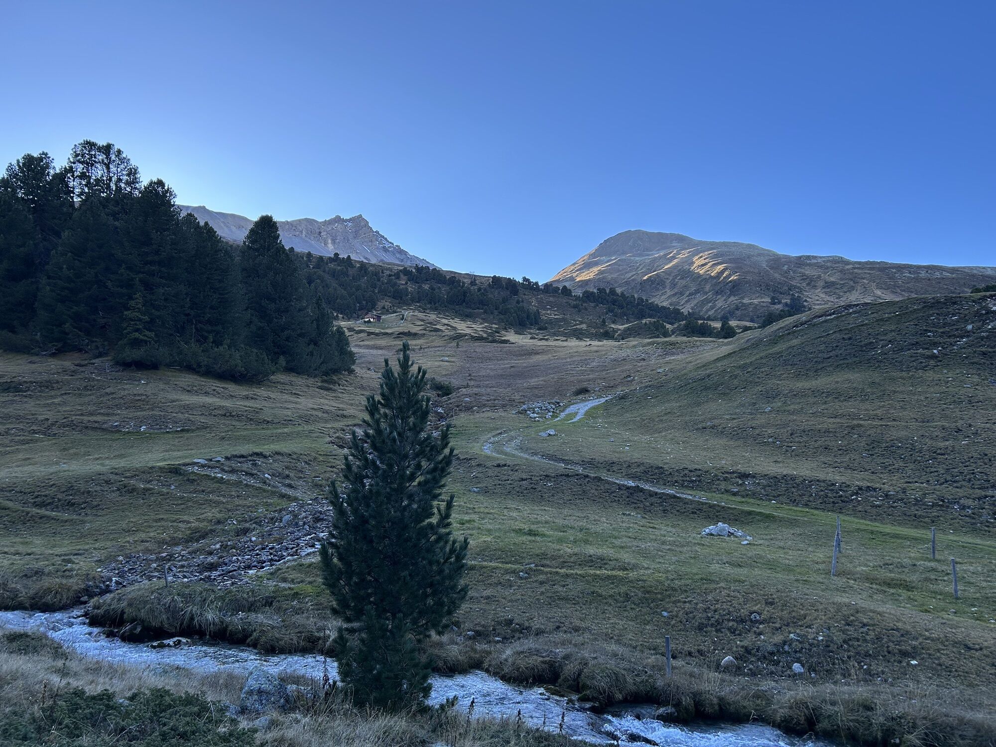
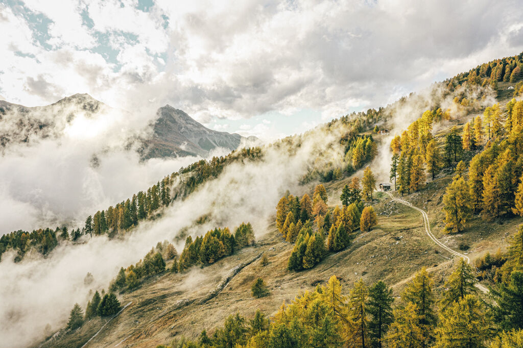
Initially, the route runs almost entirely on forest roads from Scuol to S-charl and then to Alp Astras; immediately following is the adventurous part of the route: the first ascent with a short carry section to Fuorcla Funtana da S-charl. Once on the plateau, it feels as if time stands still. The view extends from the winding Val S-charl over the mountain ridge to Val Müstair. Here, you now take the right fork towards Ofen Pass through Valbella – a trail that is still considered a secret tip for advanced riders. In the descending and exposed terrain, concentration must be maintained – which is not so easy with the wild trails and this view! The trail continues further to Ofen Pass. From the pass height follows a flowing trail through the green forests of Val Müstair with a constant view over the valley. Passing Lai da Juata to Alp Champatsch with the mountain restaurant la Posa. Perfect for a short stop to refresh before continuing back into the wooded part of the area over rooty trails to Lü. From Lü it alternates over the main road with detours through the forest and along the contour line to Müstair.

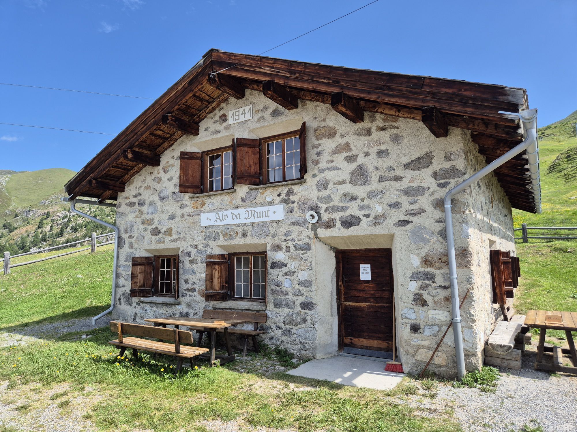
Scuol – S-charl – Alp Astras – Fuorcla Funtana da S-charl – Alp da Munt – Lai da Juata – Alp Champatsch – Lü/Lüsai – Chomps da Val Paschun – Craistas – Müstair
Helmet, gloves, good footwear, glasses, rain and sun protection, water bottle, repair kit, first aid kit
Snowfields are possible on high-altitude sections well into the summer months.
The route was rated under favorable weather conditions; current weather conditions and forecasts must be observed before starting the route. This route does not require special riding safety or technical skills.
Emergency numbers:
144 Emergency call, first aid
1414 Mountain rescue REGA
112 International emergency call
Please be considerate when crossing and overtaking hikers. The Grisons mountain bike routes largely run on single trails also marked as hiking trails. Hikers generally have the right of way.
Scuol is located directly on the Engadin road H27 (20 minutes drive from the south portal of Vereina)
By the Rhaetian Railway (from Chur, Landquart/Prättigau or from the Upper Engadin) hourly to Scuol-Tarasp
By PostAuto (from Martina, Sent, Ftan or Tarasp) hourly to Scuol-Tarasp station
Paid parking spaces at the station and near the cable cars in Scuol.
Free parking spaces in Porta and Punt (Scuol Sot).
S3
The first section from Scuol to S-charl can also be shortened by taking the PostAuto.
Kamery internetowe z trasy
-
Motta Naluns
-
Gasthaus Alpenrose - Minschuns
-
Scuol
-
Schloss Tarasp
-
Ftan Prui
-
Taufers im Münstertal
-
Fuldera - Hotel Landgasthof Staila
-
Fuldera
-
Piz Chavalatsch
-
Motta Naluns
-
Motta Naluns
-
Motta Naluns
-
Motta Naluns
-
Motta Naluns
-
Motta Naluns
-
Ftan
-
Müstair - Hotel Helvetia
-
Sent
-
Ftan
-
Tarasp - Engadin
-
Sent
-
Taufers im Münstertal
-
Müstair
-
Mot da Ri
-
Mot da Ri
-
Mot da Ri
-
Mot da Ri
-
Mot da Ri
-
Tschierv
-
S-Charl Alp Tavrü
Popularne wycieczki w okolicy
-
5,0
Mountain restaurant Plantaptasch (without Lift)
średniWędrówka 3,42 km -
3,6
Easy hiking rout to the top of the Watles Moutain (2.550 m)
średniWędrówka 2,35 km -
4,5
Rundwanderweg Wattles und Sesvenna
światłoWędrówka 16,4 km -
3,4
Sta.Maria, Prà da Vau - Lai da Rims - Alp Sot - Prà da Vau
ciężkiWędrówka 14,7 km -
4,0
National Park: Margunet
światłoWędrówka 7,76 km -
4,5
Tarasp Fontana – Sparsels – Lai Nair (circular route)
światłoWędrówka 7,67 km -
4,8
National Park: Grimmels (circular hike)
światłoWędrówka 6 km -
5,0
San Jon – Chamonna Lischana (return)
średniWędrówka 12,0 km -
4,5
Bergwanderung Schlinig -Seswenahütte
średniWędrówka 13,6 km -
5,0
National Park: Mot Tavrü
średniWędrówka 12,0 km
Wędrówki i tropienie


Nie przegap ofert i inspiracji na następne wakacje
Twój adres e-mail została dodana do listy mailingowej.