







Motta Naluns – Fuorcla Champatsch – Val Sinestra
Poziom trudności: S4
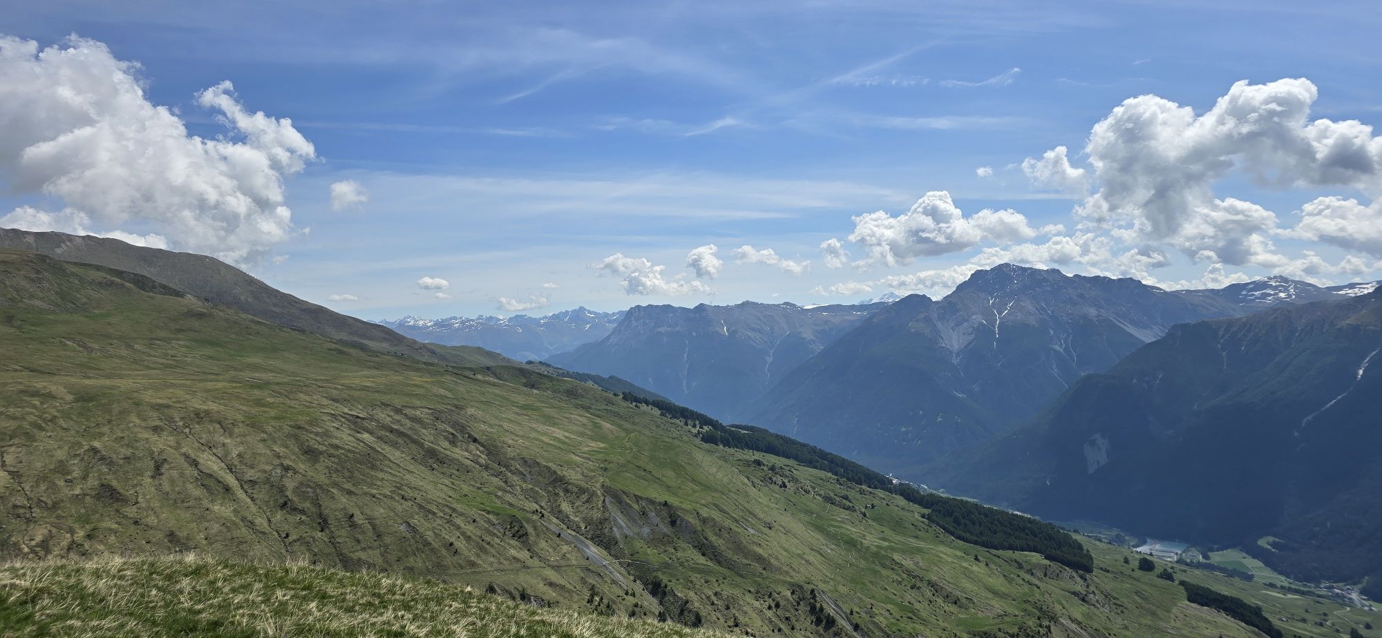
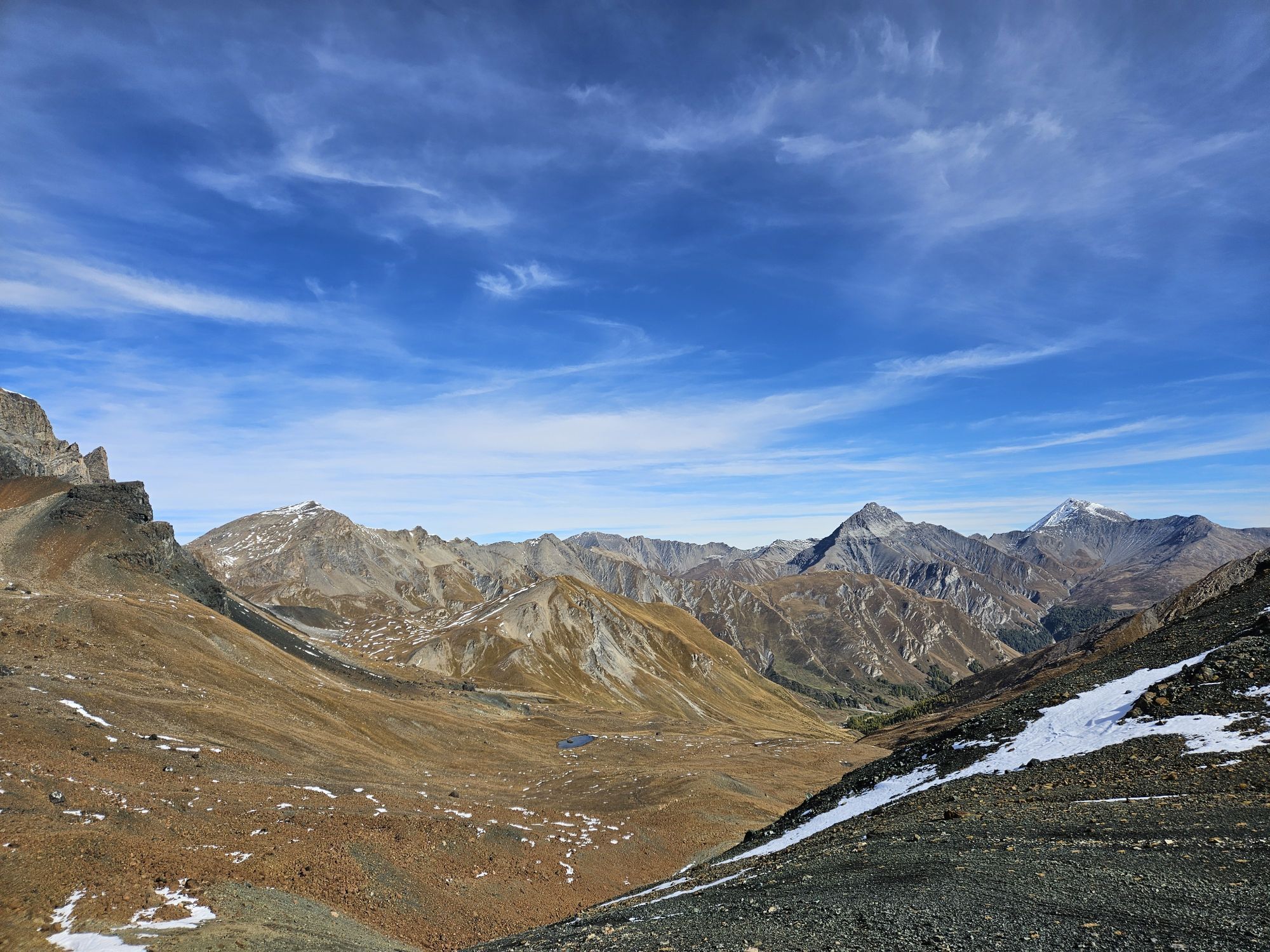
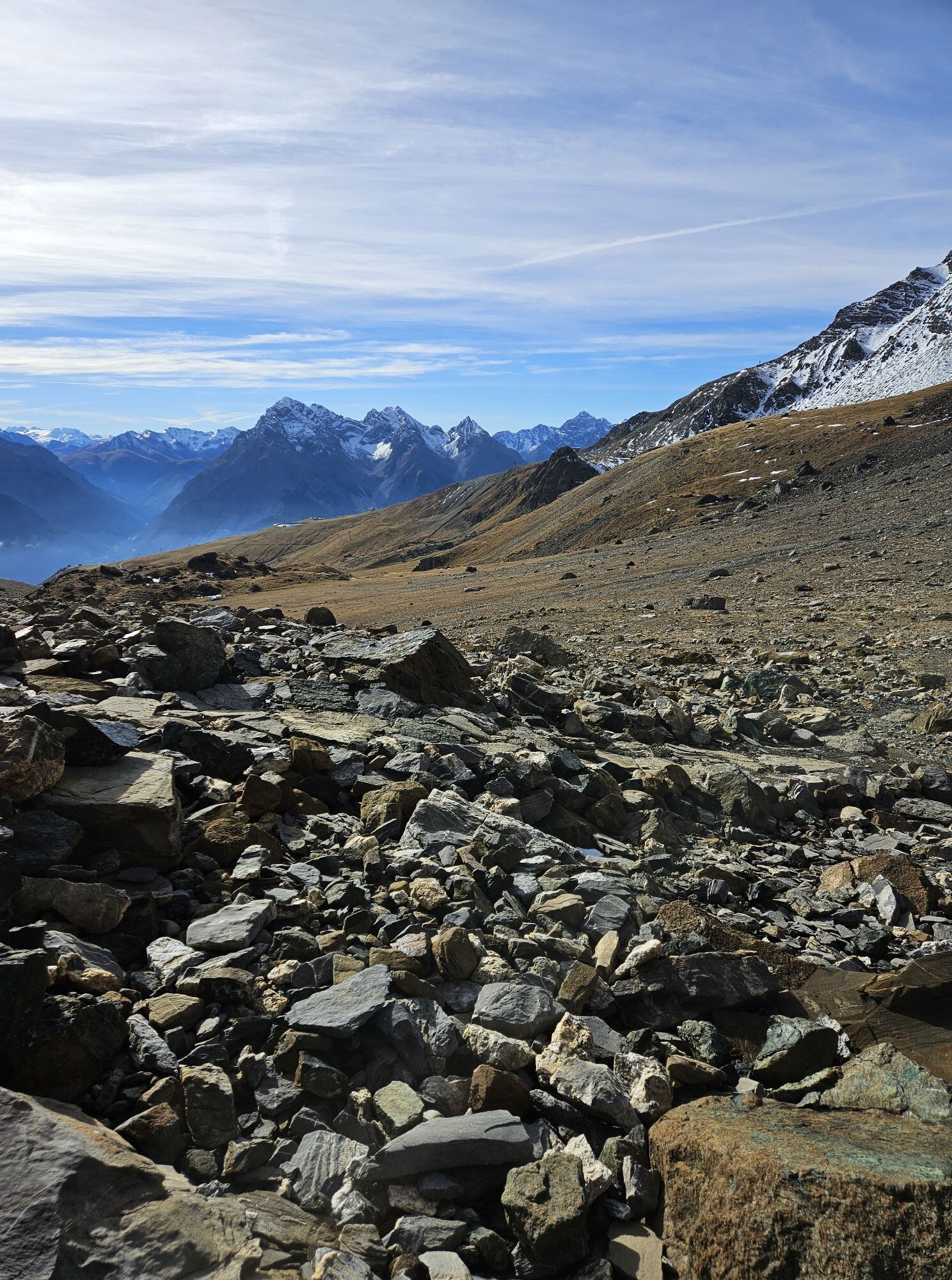
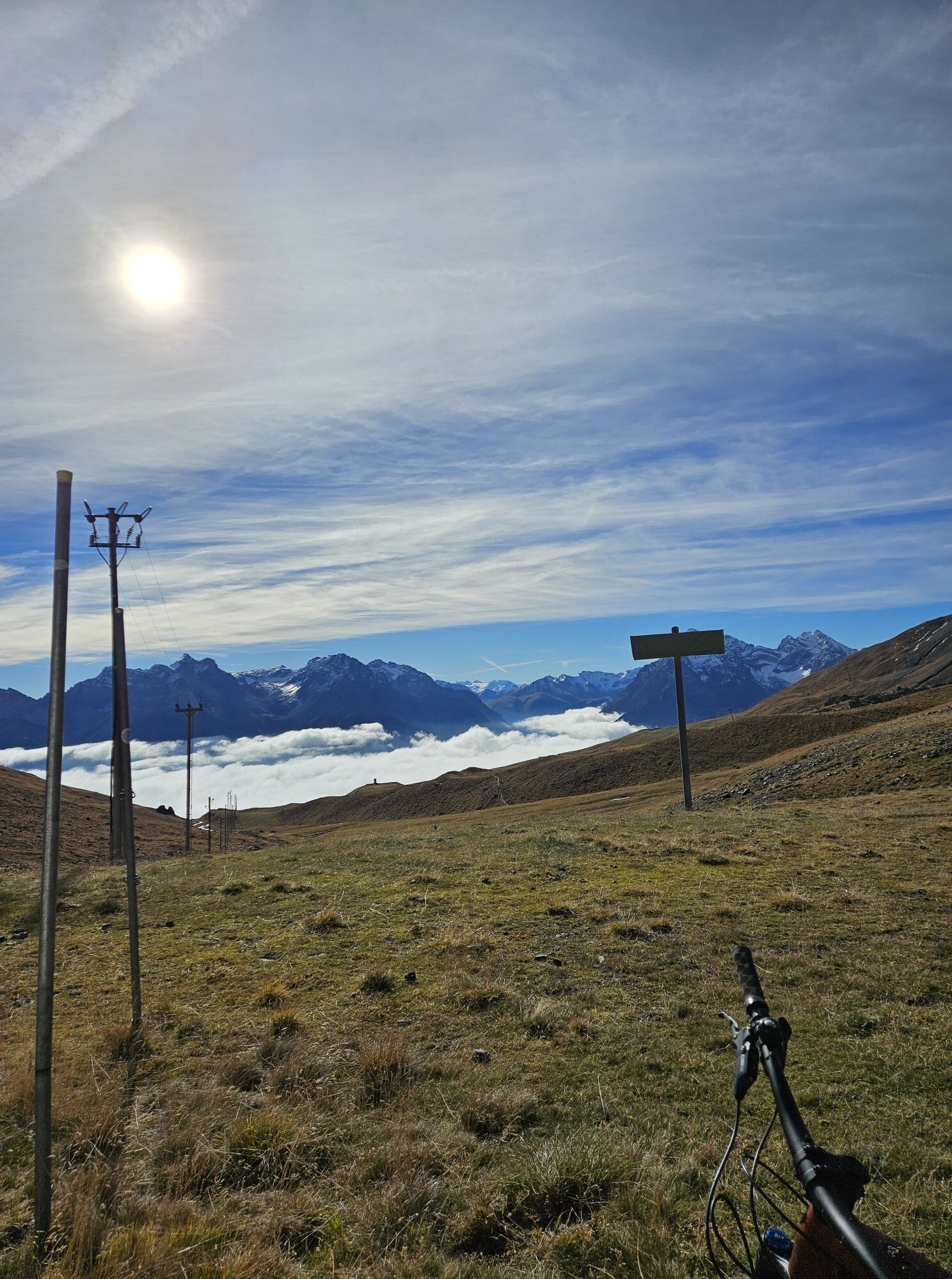
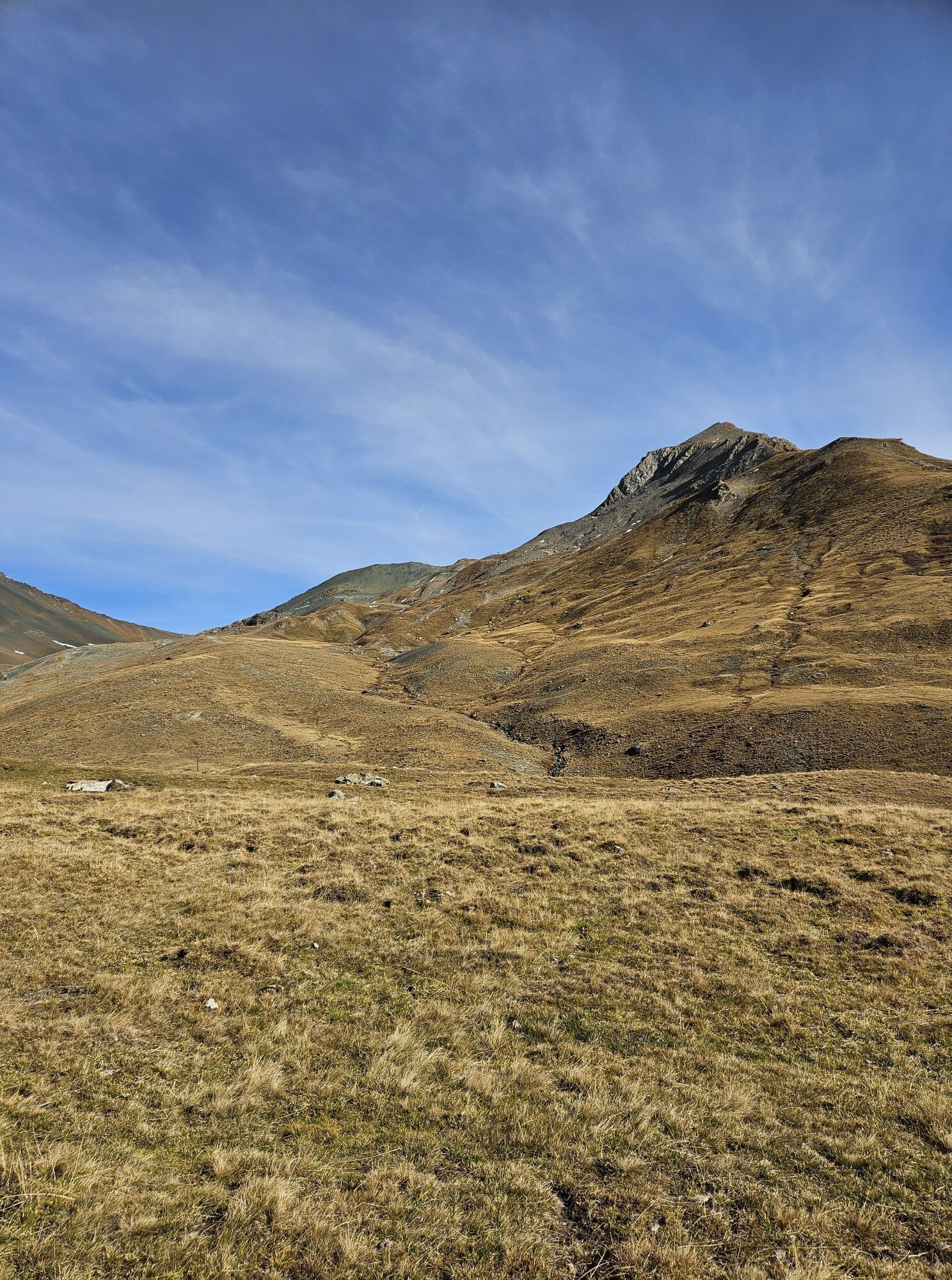
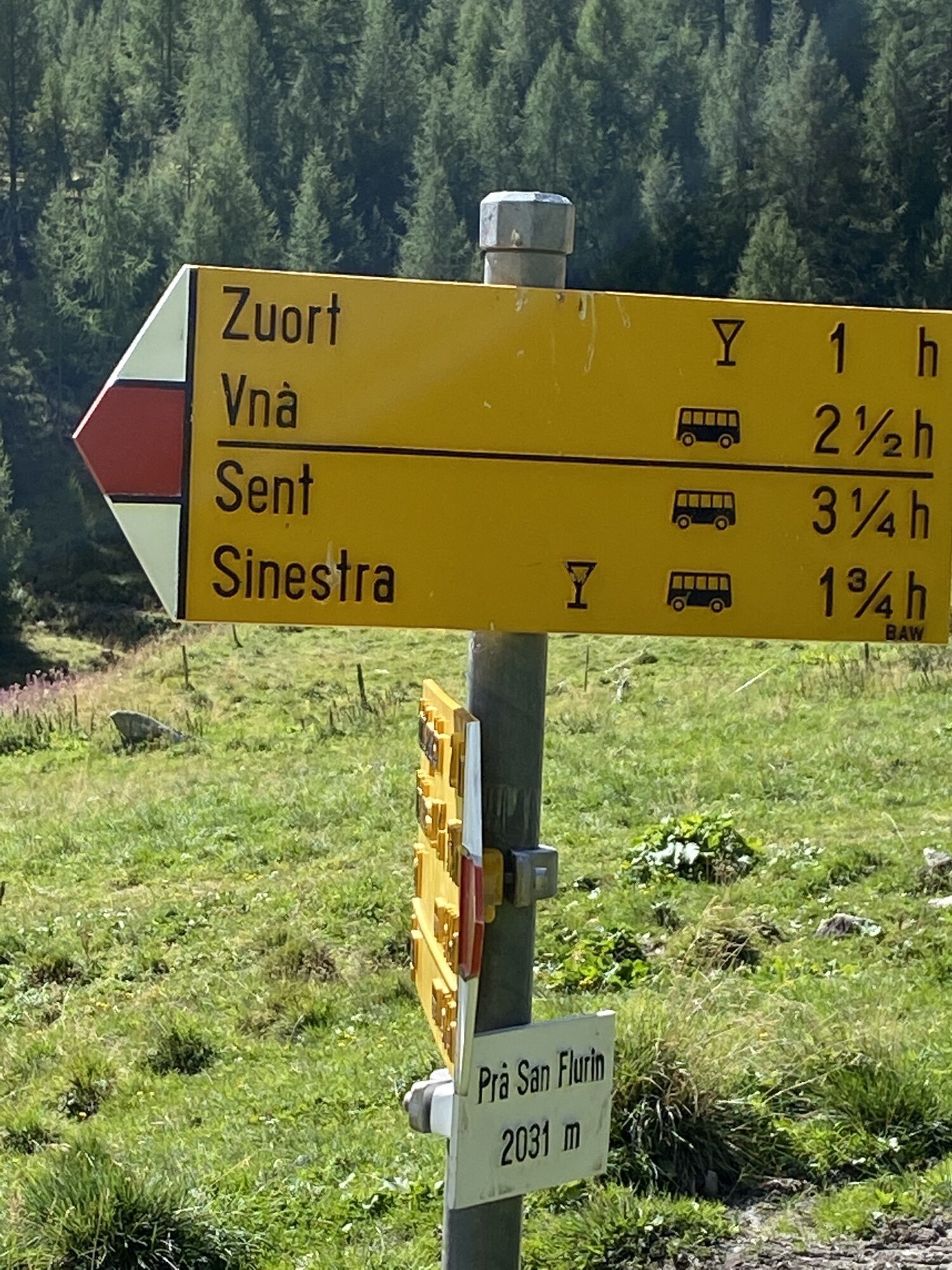
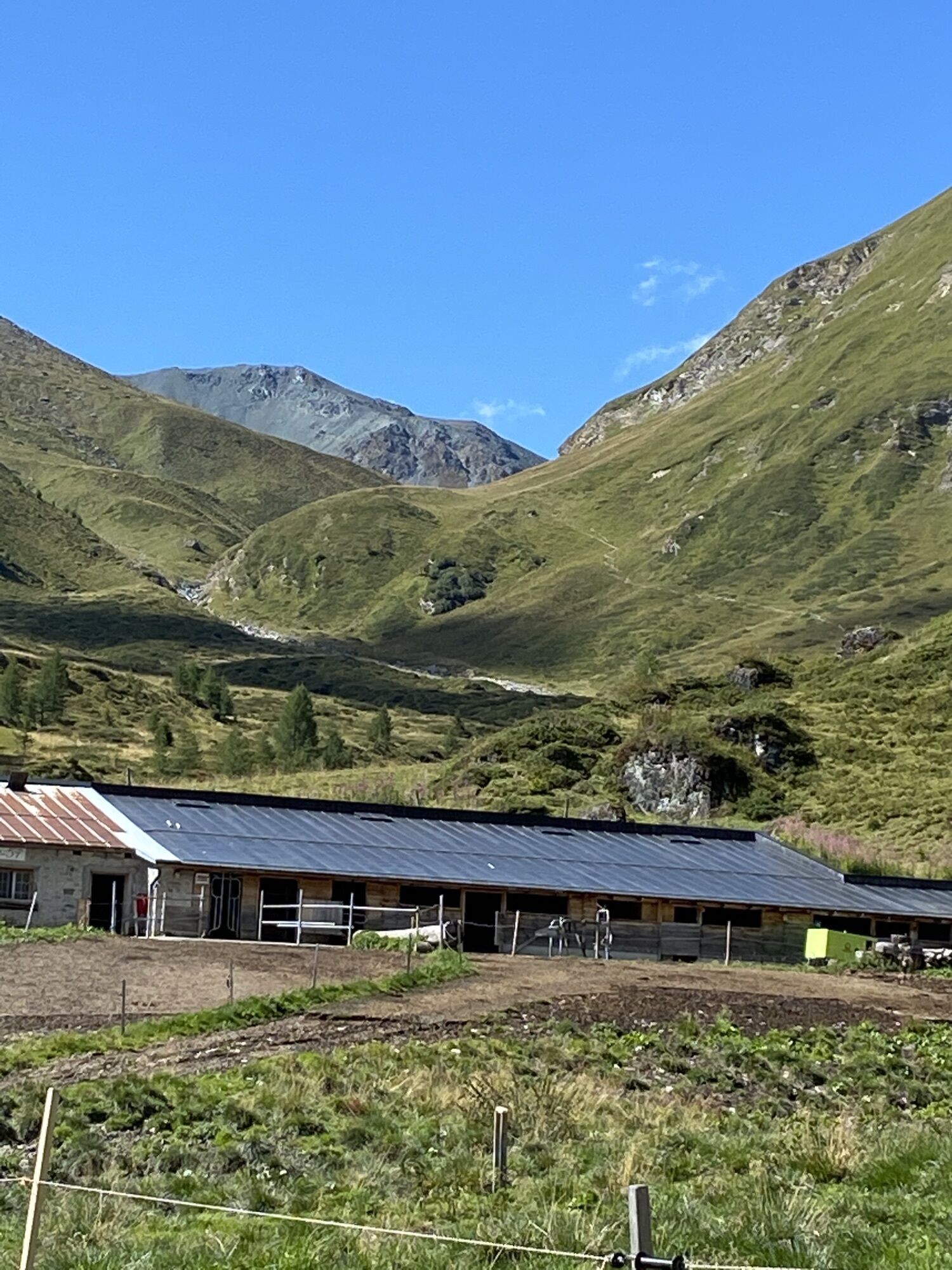
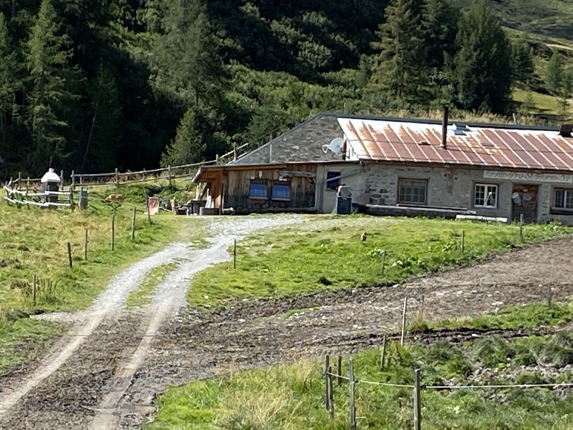
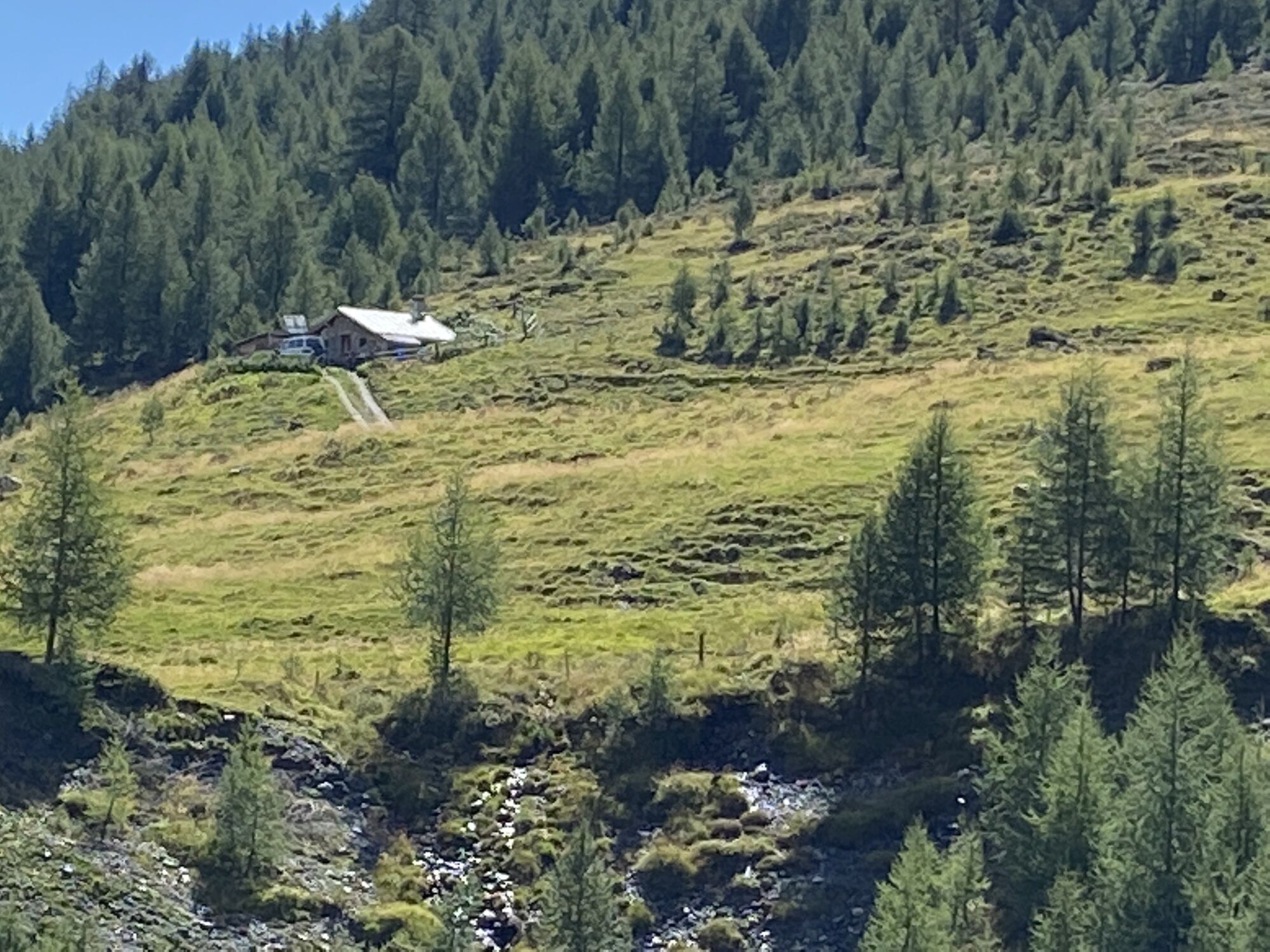
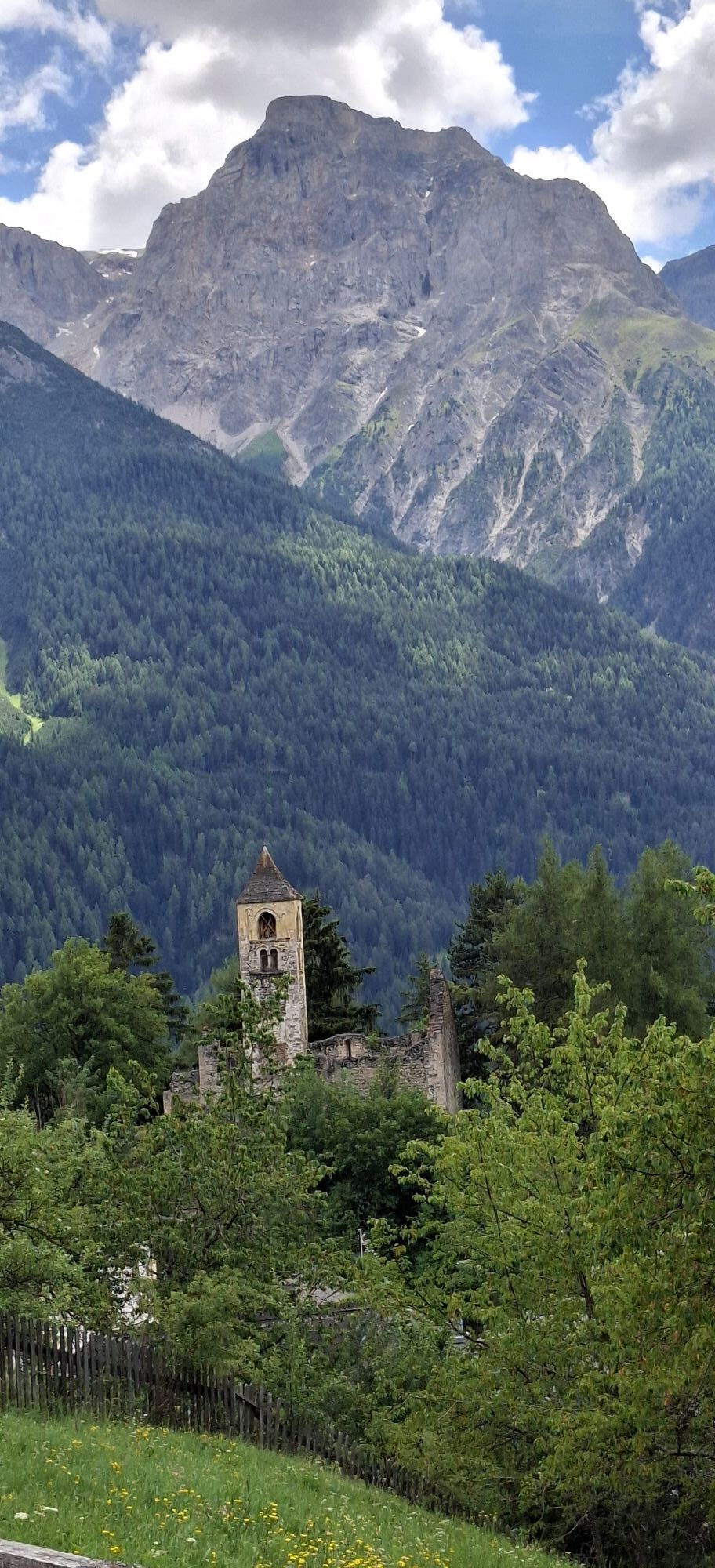
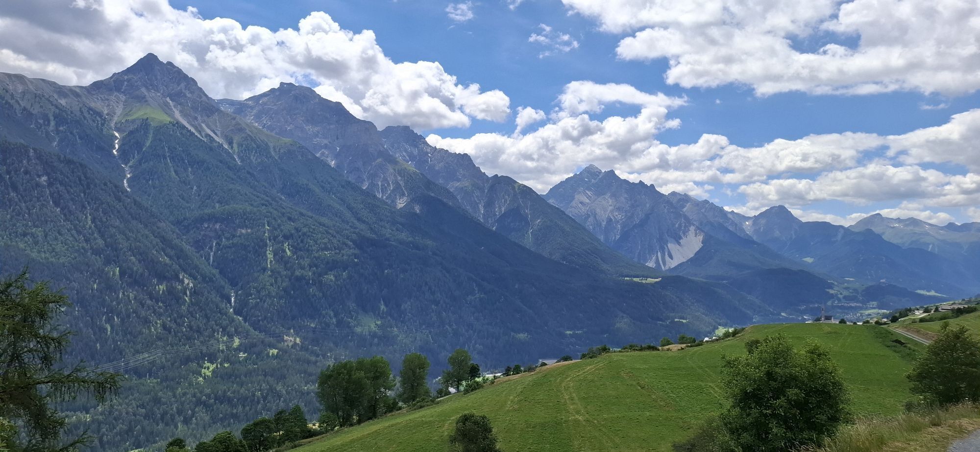
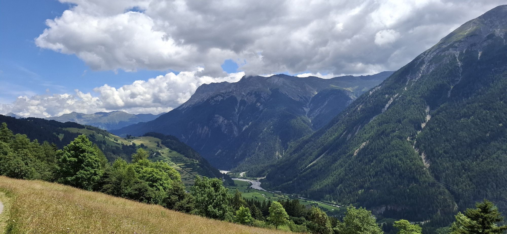
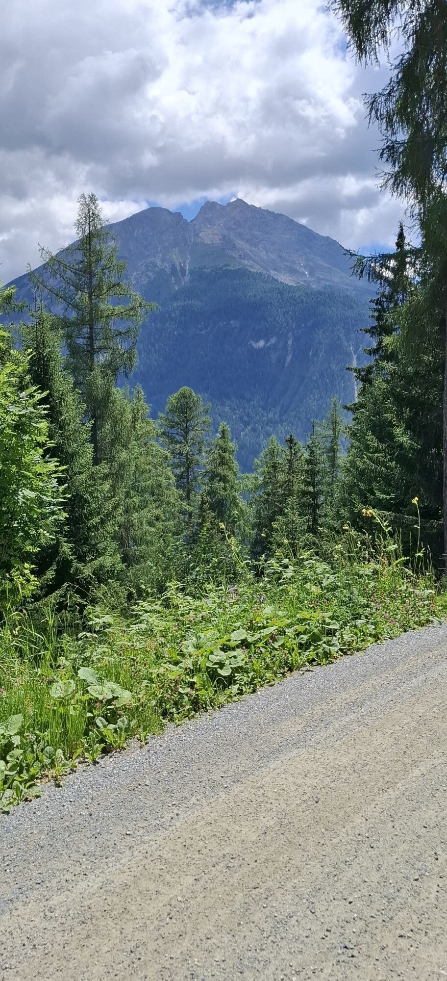
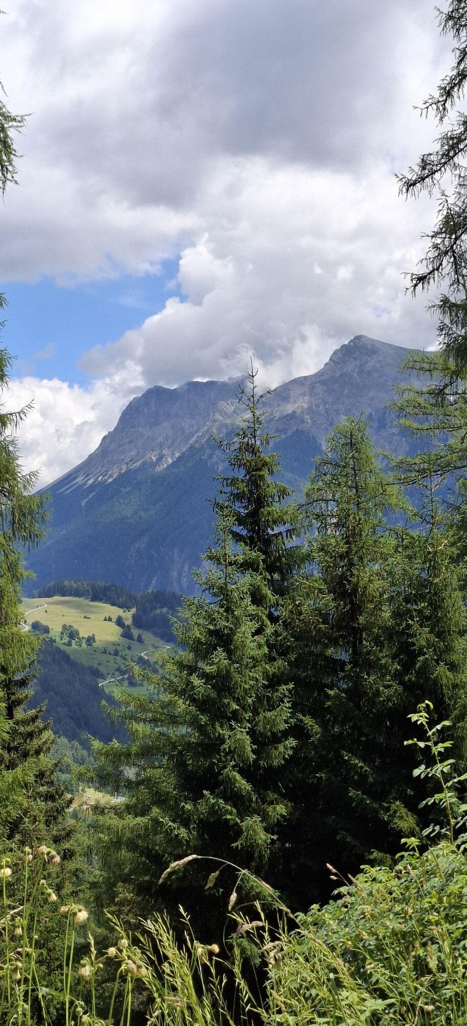
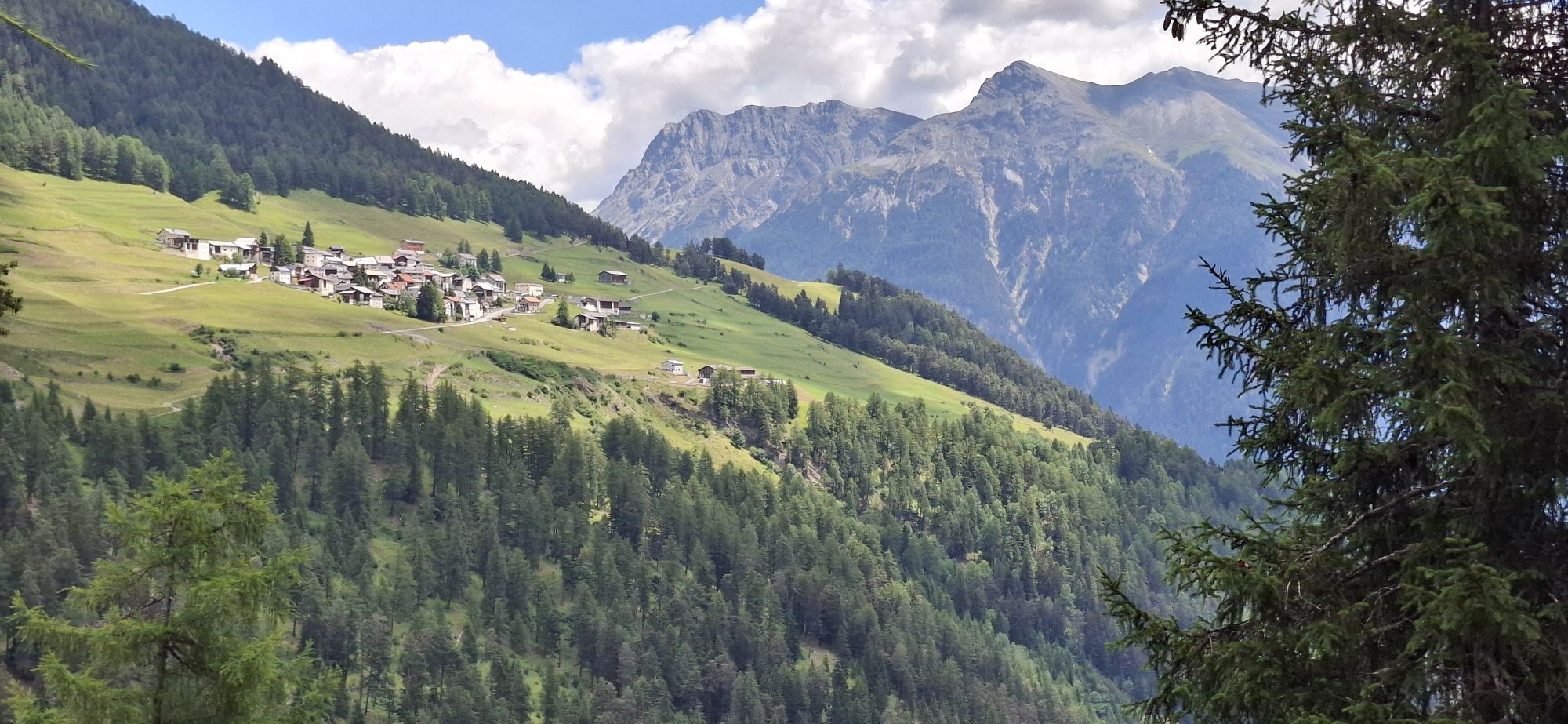
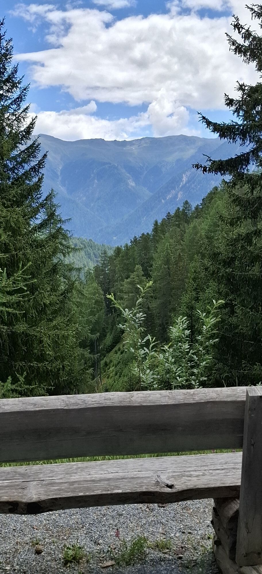
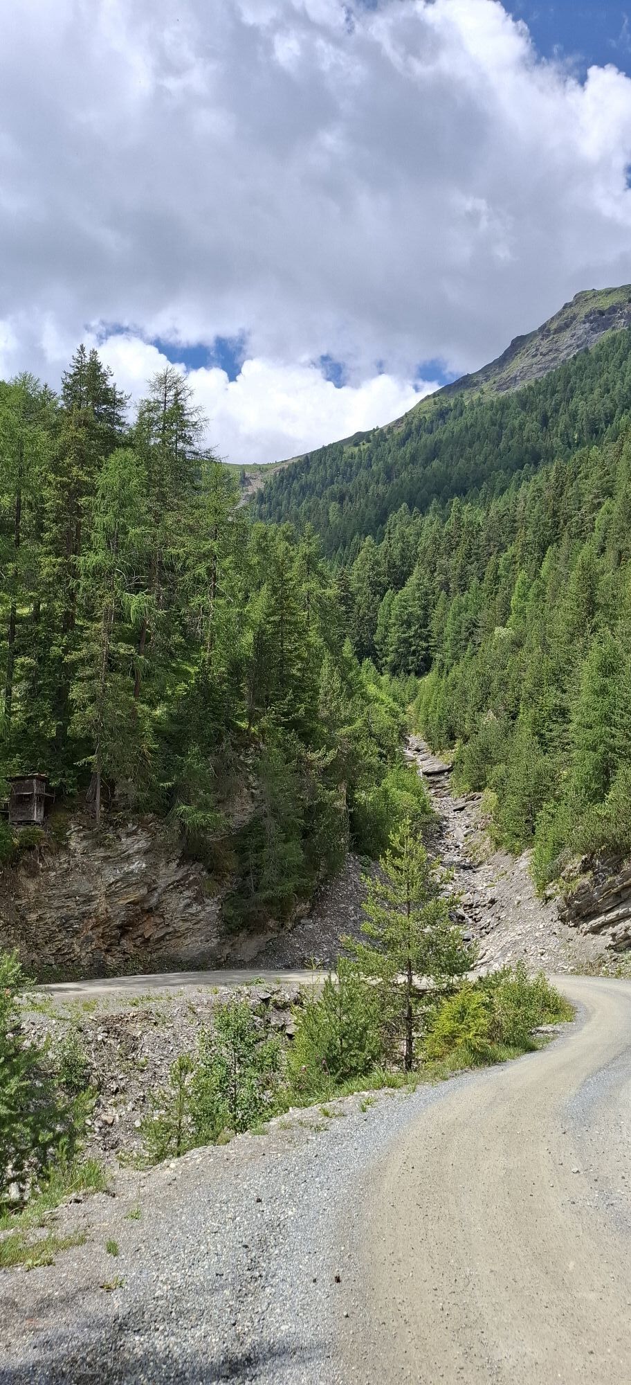
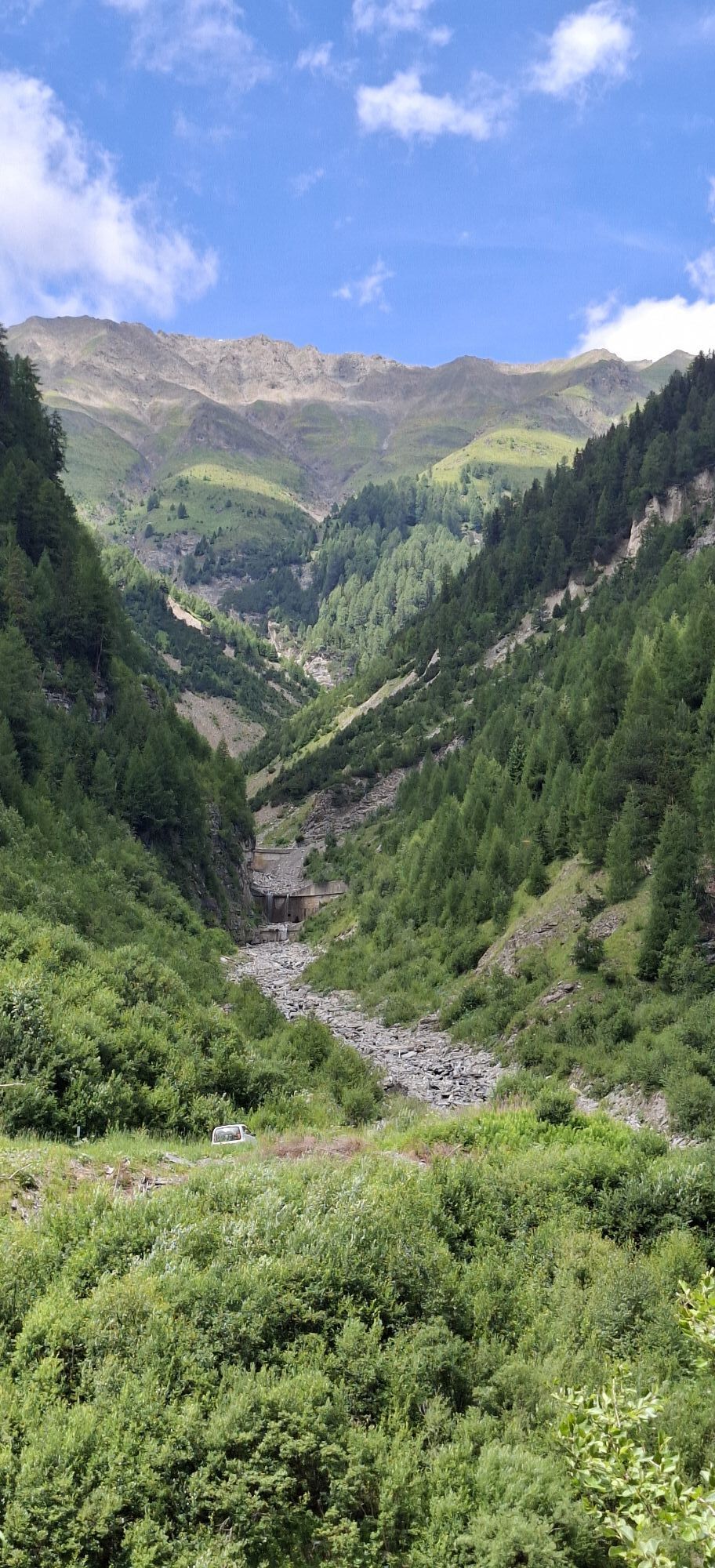
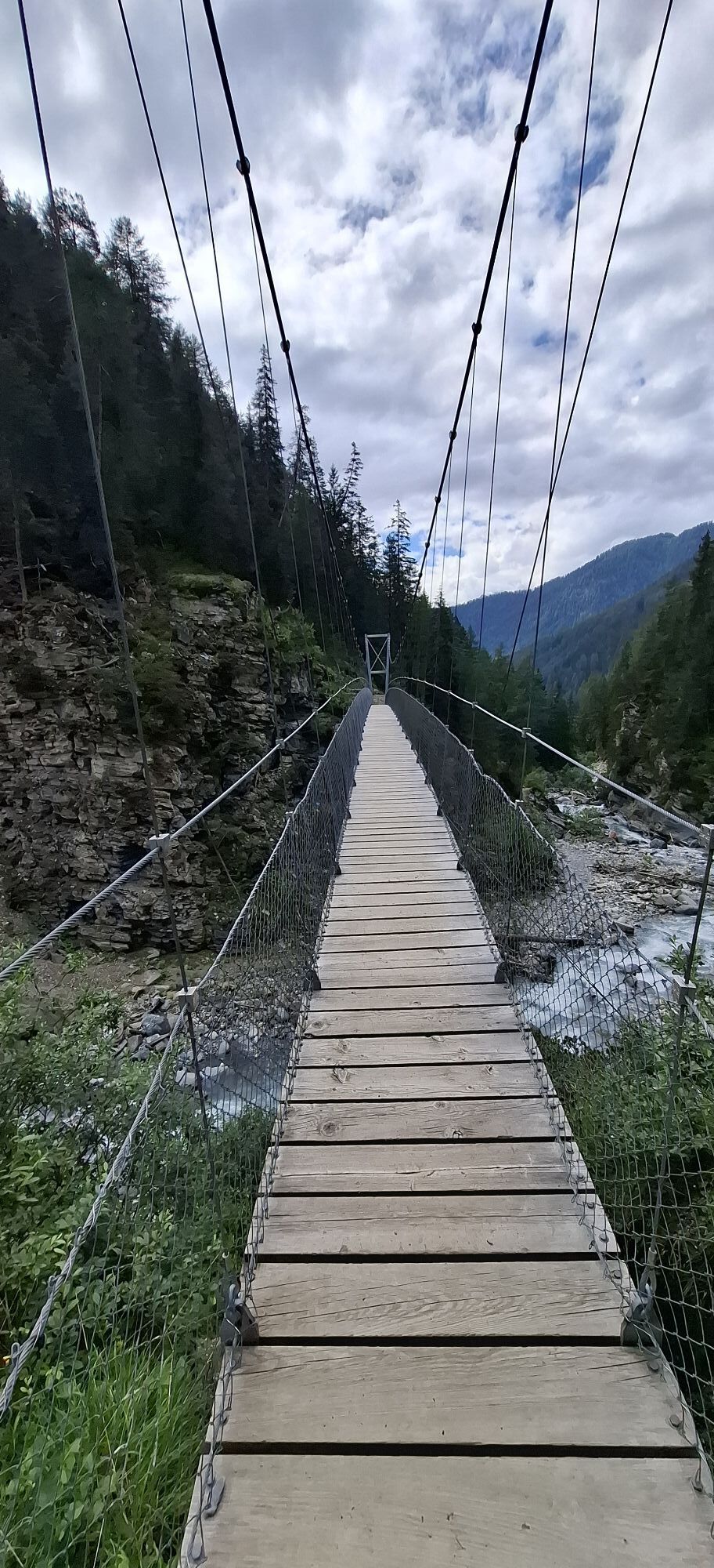
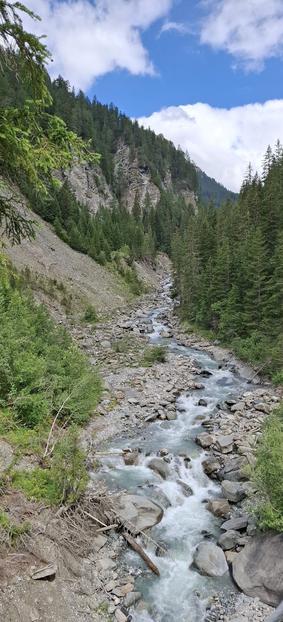
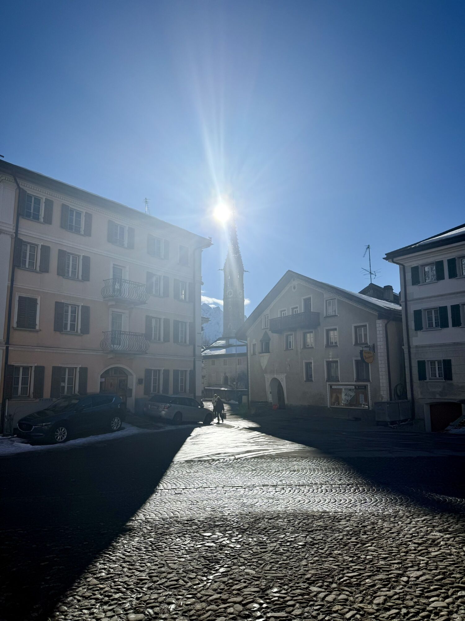
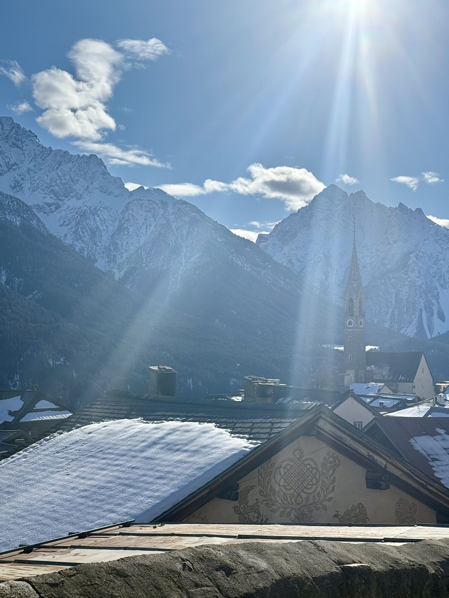
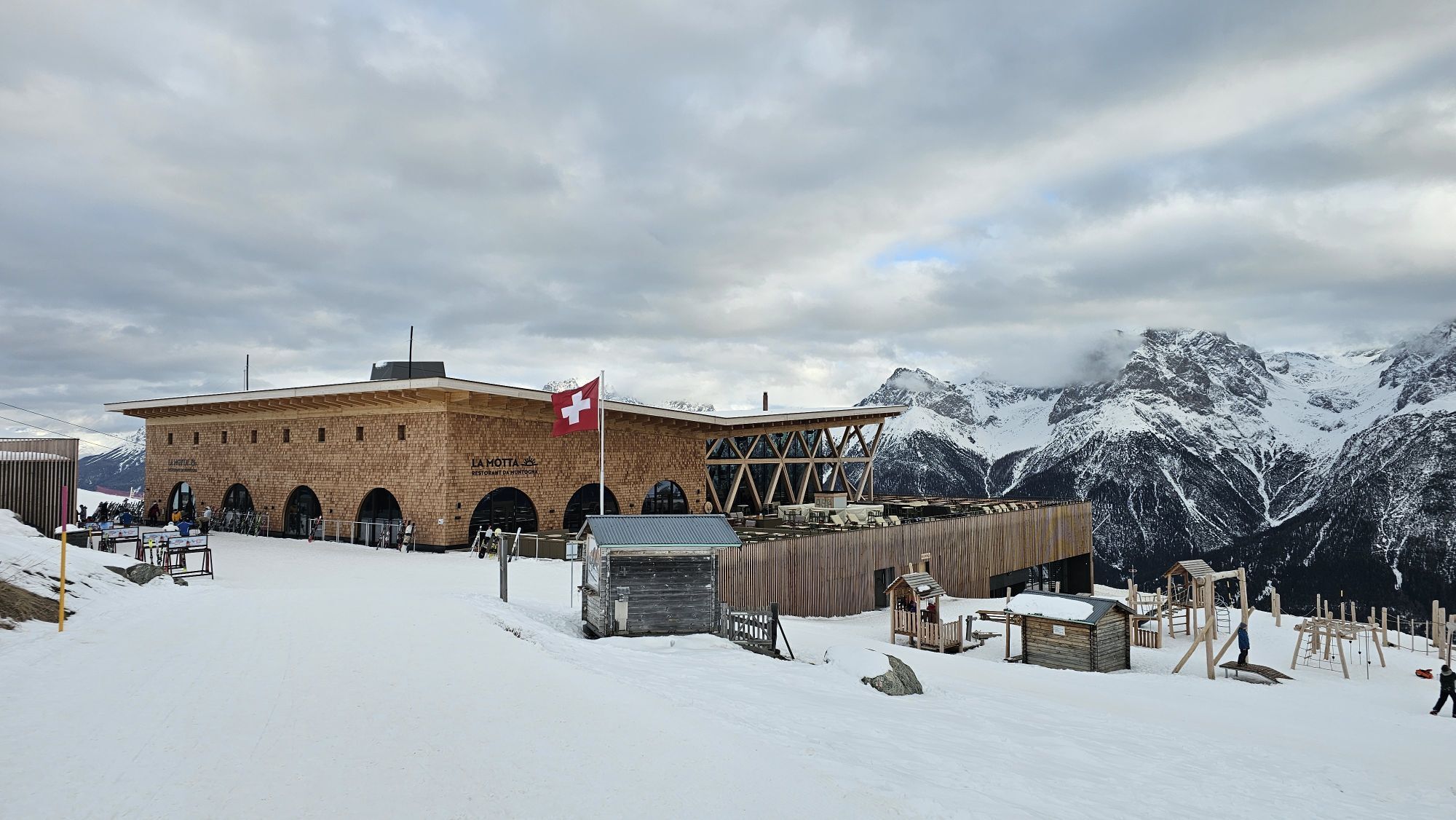
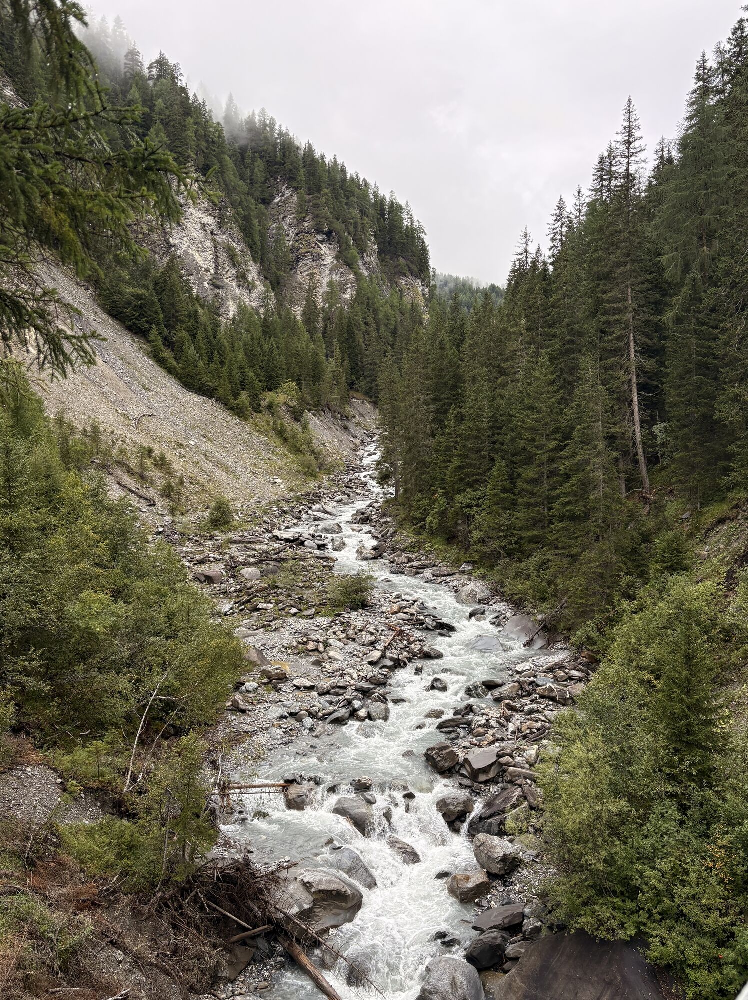
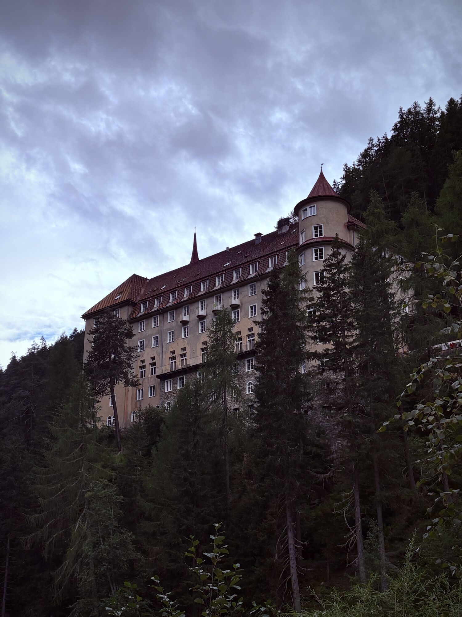
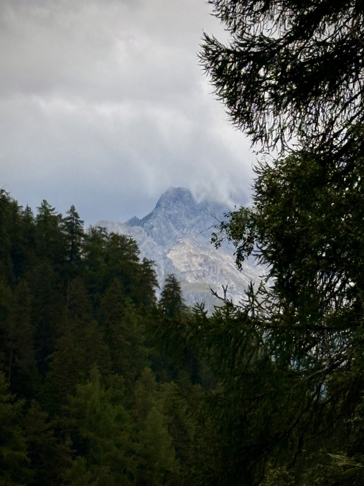
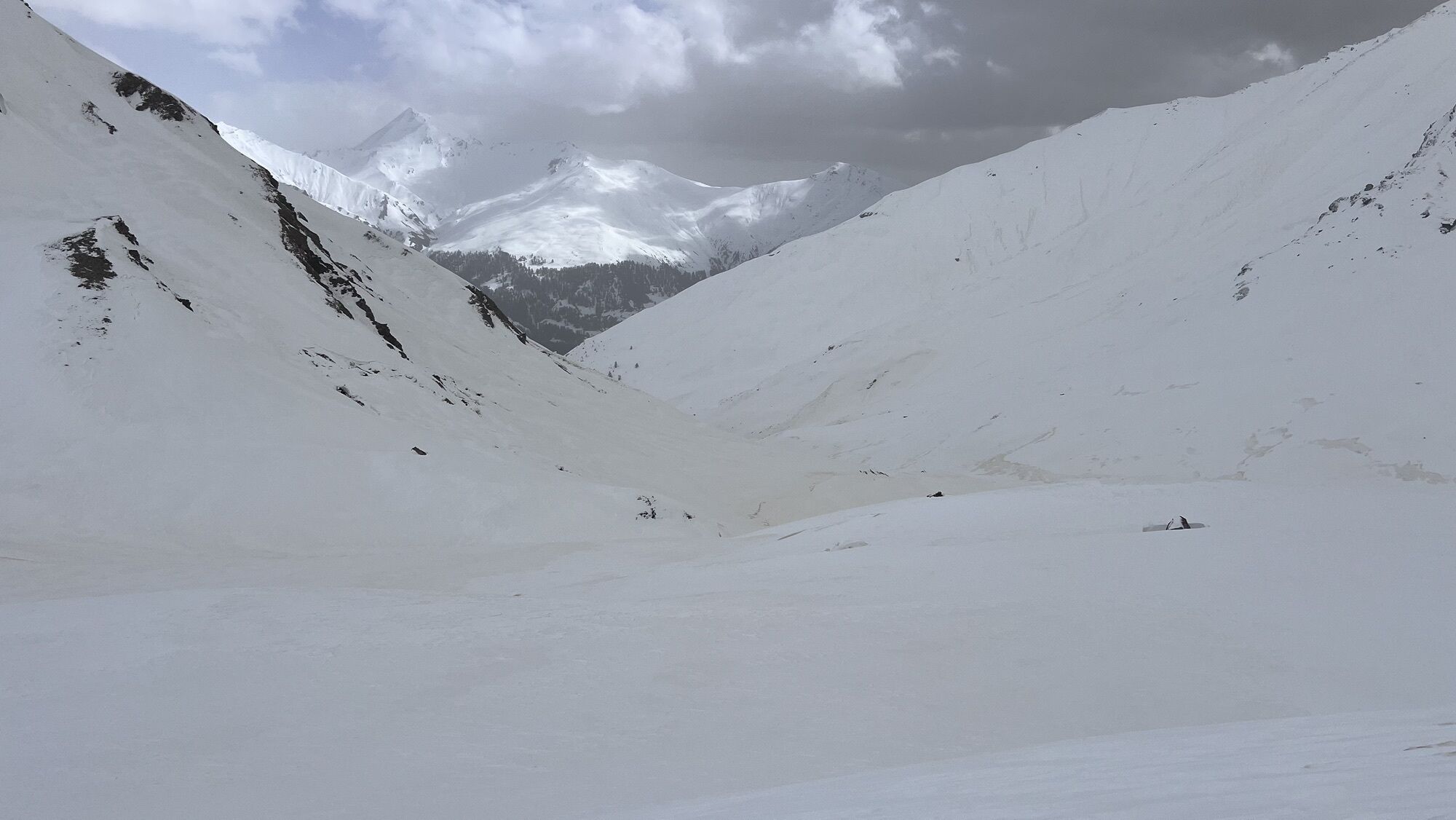
After the pleasant ride with the Motta Naluns gondola lift, you start at 2146 m above sea level towards Chamanna Naluns. At the first junction before the reservoir, turn right and ascend on a winding trail...
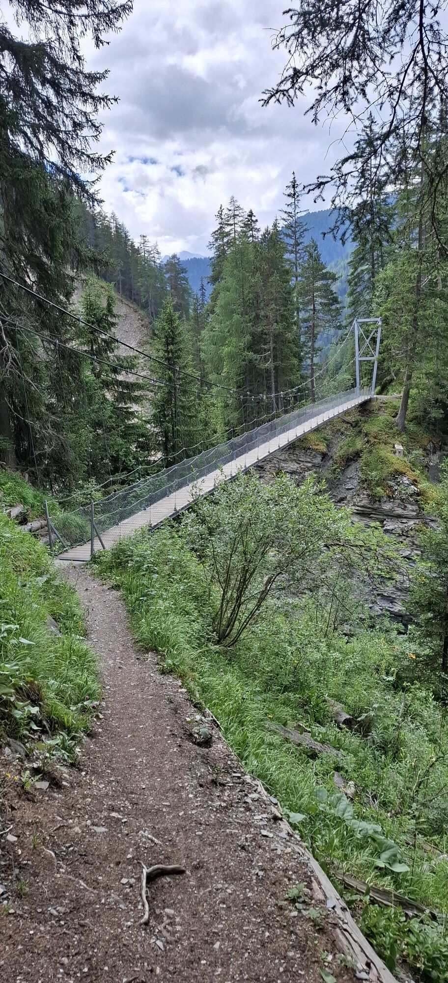
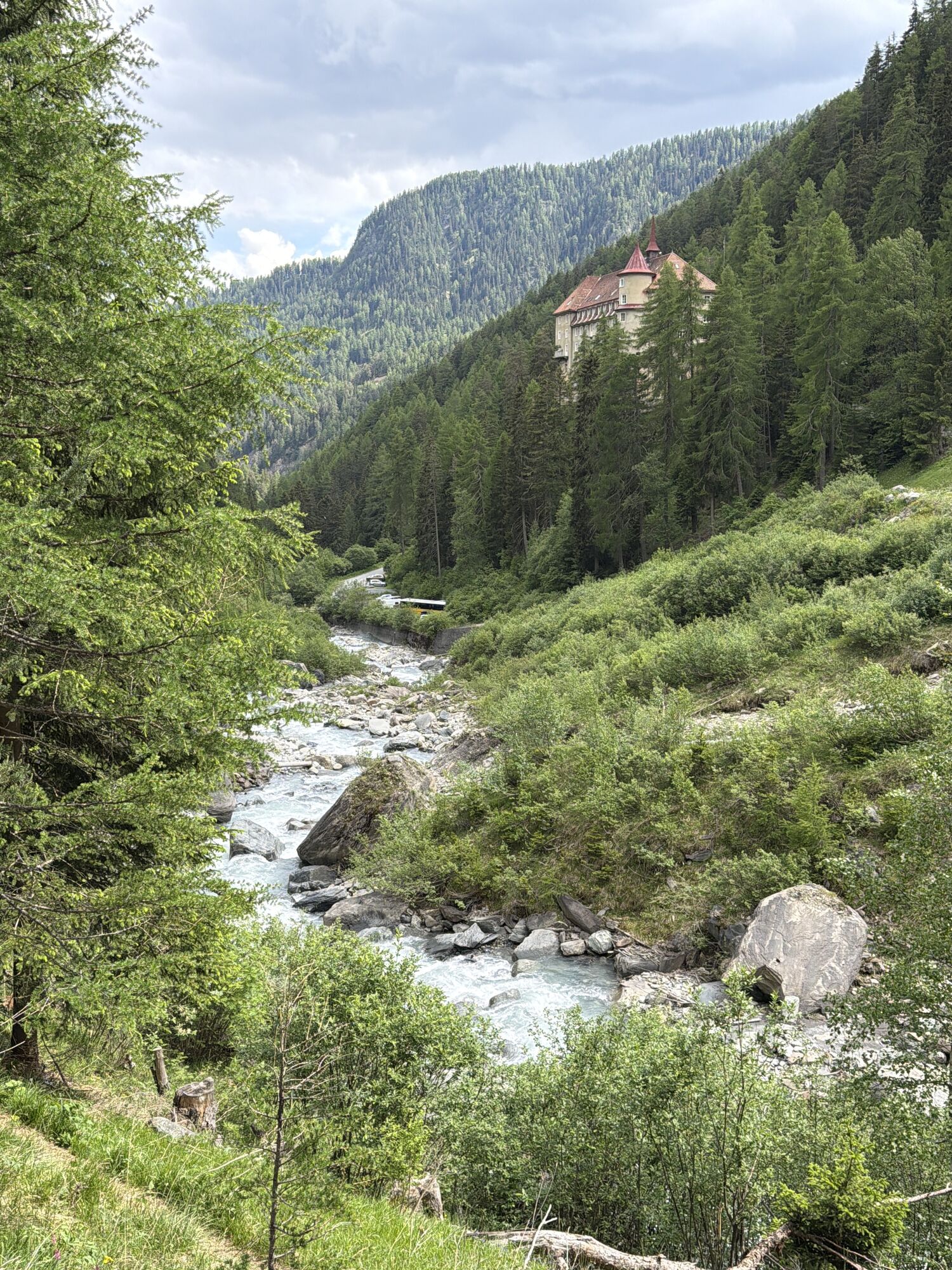
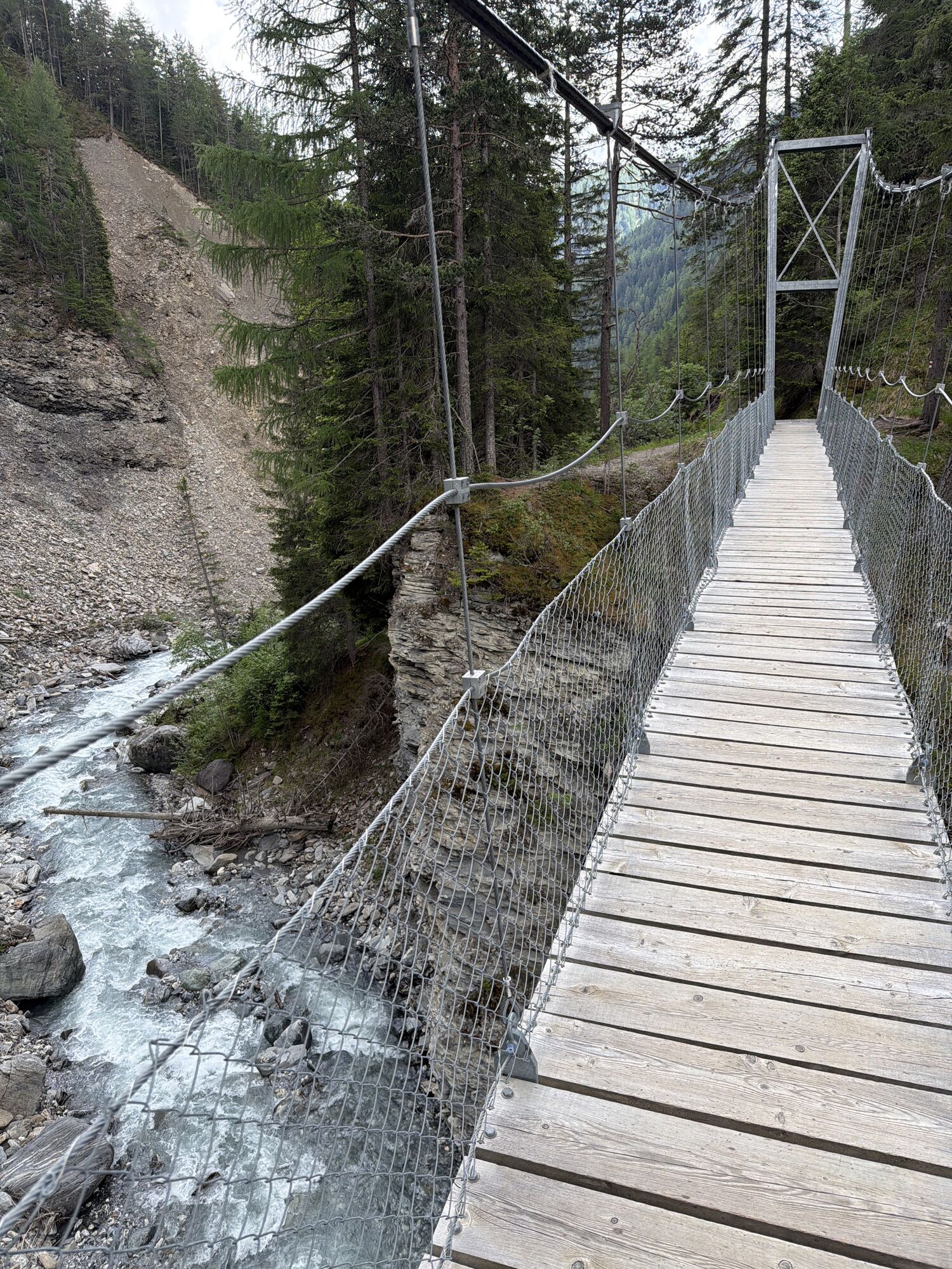
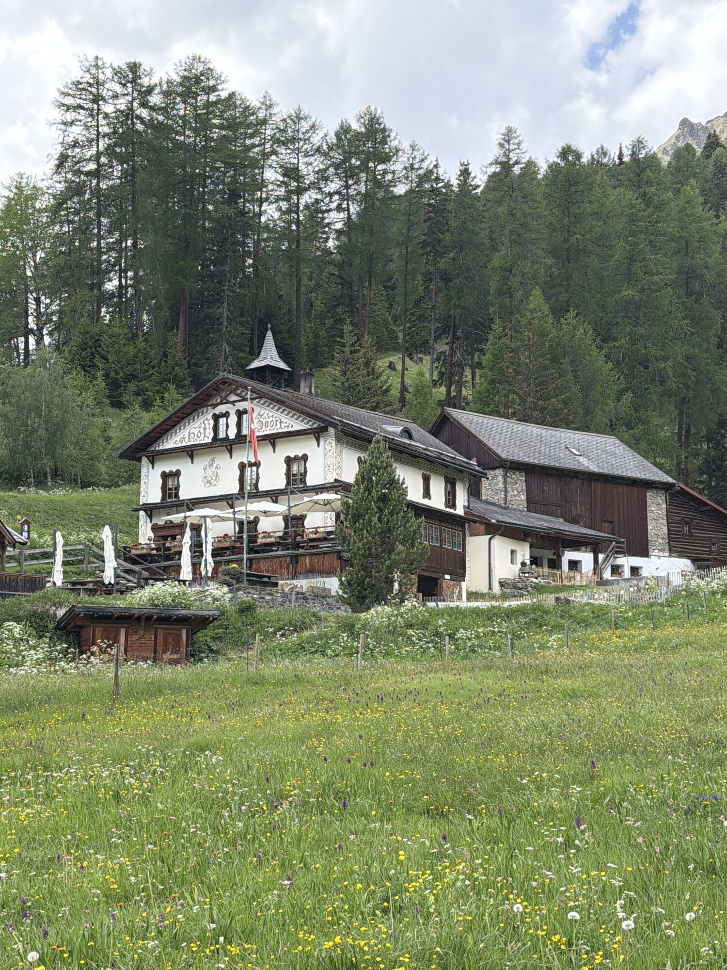
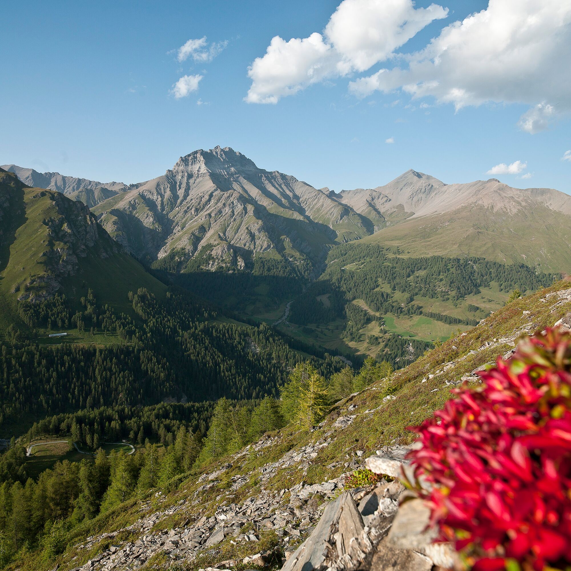
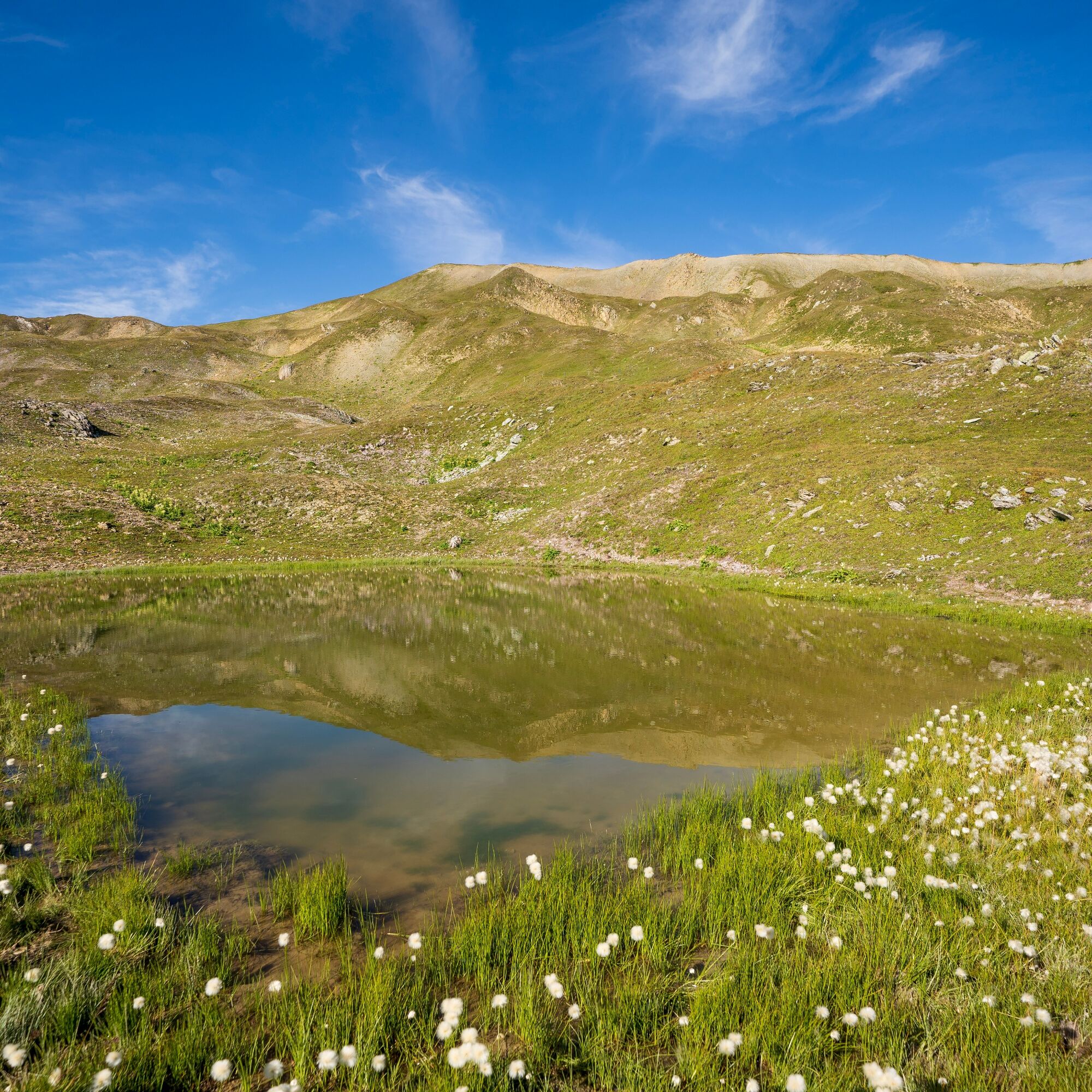
After the pleasant ride with the Motta Naluns gondola lift, you start at 2146 m above sea level towards Chamanna Naluns. At the first junction before the reservoir, turn right and ascend on a winding trail up to Fuorcla Champatsch. Once at the top, at 2723 m above sea level, you are rewarded with a breathtaking view of the Engadine mountain world. Surrounded by the mountains Piz Champatsch, Piz Tasna, and Piz Tschütta, the route continues downhill on a singletrail through Val Laver to Alp Prà San Flurin – alpine couldn’t get more authentic. From there, the singletrail continues downhill to the Zuort farm and further towards Val Sinestra.

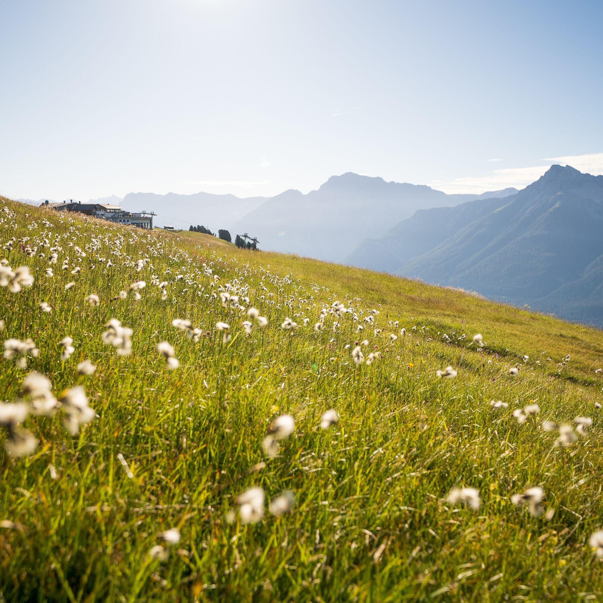

From Scuol-Tarasp (1120 m) take the Motta Naluns gondola lift to the mountain station (2151 m)
Towards Chamanna Naluns to the reservoir (2324 m)
Junction towards Fuorcla Champatsch
After crossing Fuorcla Champatsch, descend into Val Laver
Continue to Alp Prà San Flurin and at the fork turn right towards Val Sinestra
Helmet, gloves, good footwear, glasses, rain and sun protection, water bottle, repair kit, first aid kit
It is recommended to enjoy the technical descent through Val Laver responsibly, as loose stones and gravel beds can be found in the upper section.
From the north: via Landquart – Klosters by car shuttle through the Vereina tunnel (Selfranga - Sagliains) or via the Flüela Pass, along the Lower Engadine to Scuol
From the east: via Landeck / Austria towards St. Moritz on H27 to Scuol
From the south: via Reschen Pass (Nauders-Martina) towards St. Moritz on H27 to Scuol
By the Rhaetian Railway (from Chur, Landquart/Prättigau or from the Upper Engadine) to Scuol-Tarasp.
Gondola lift to the Motta Naluns mountain station
Parking spaces directly next to the valley station of the Motta Naluns cable cars in Scuol
S4
In Val Sinestra, rest and stop at the Val Sinestra country inn.
Kamery internetowe z trasy
Uzyskaj wgląd
Zawsze na żywo z ponad 9 500 kamer internetowych. bergfex Jako użytkownik Pro, możesz teraz zobaczyć odpowiednie kamery internetowe dla wielu wycieczek w aplikacji wycieczki od. Pozwala to na bezpośredni podgląd aktualnych warunków.
Popularne wycieczki w okolicy
-
5,0
Menta Alm - Scheibenalm
światłoWędrówka 11,4 km -
4,7
Jamtal lodge
średniWędrówka 19,6 km -
5,0
Samnaun Dorf – Muttler
ciężkiWędrówka 14,8 km -
4,5
Tarasp Fontana – Sparsels – Lai Nair (circular route)
światłoWędrówka 7,67 km -
5,0
3 Länder Tour Uinaschlucht MTB
ciężkiMountainbike 74,6 km -
5,0
San Jon – Chamonna Lischana (return)
średniWędrówka 12,0 km -
Nauders: Schweiz-Runde
Mountainbike 32,6 km -
4,0
Prui – Piz Clünas – Alp Laret – Ftan
średniWędrówka 13,6 km -
5,0
National Park: Mot Tavrü
średniWędrówka 12,0 km -
5,0
Piz Lad
średniWycieczka wysokogórska 6,67 km
Wędrówki i tropienie


Nie przegap ofert i inspiracji na następne wakacje
Twój adres e-mail została dodana do listy mailingowej.





