







615 Biketicket to ride blue

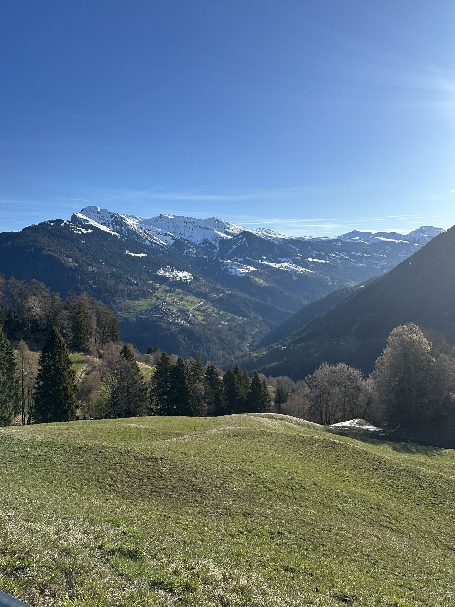
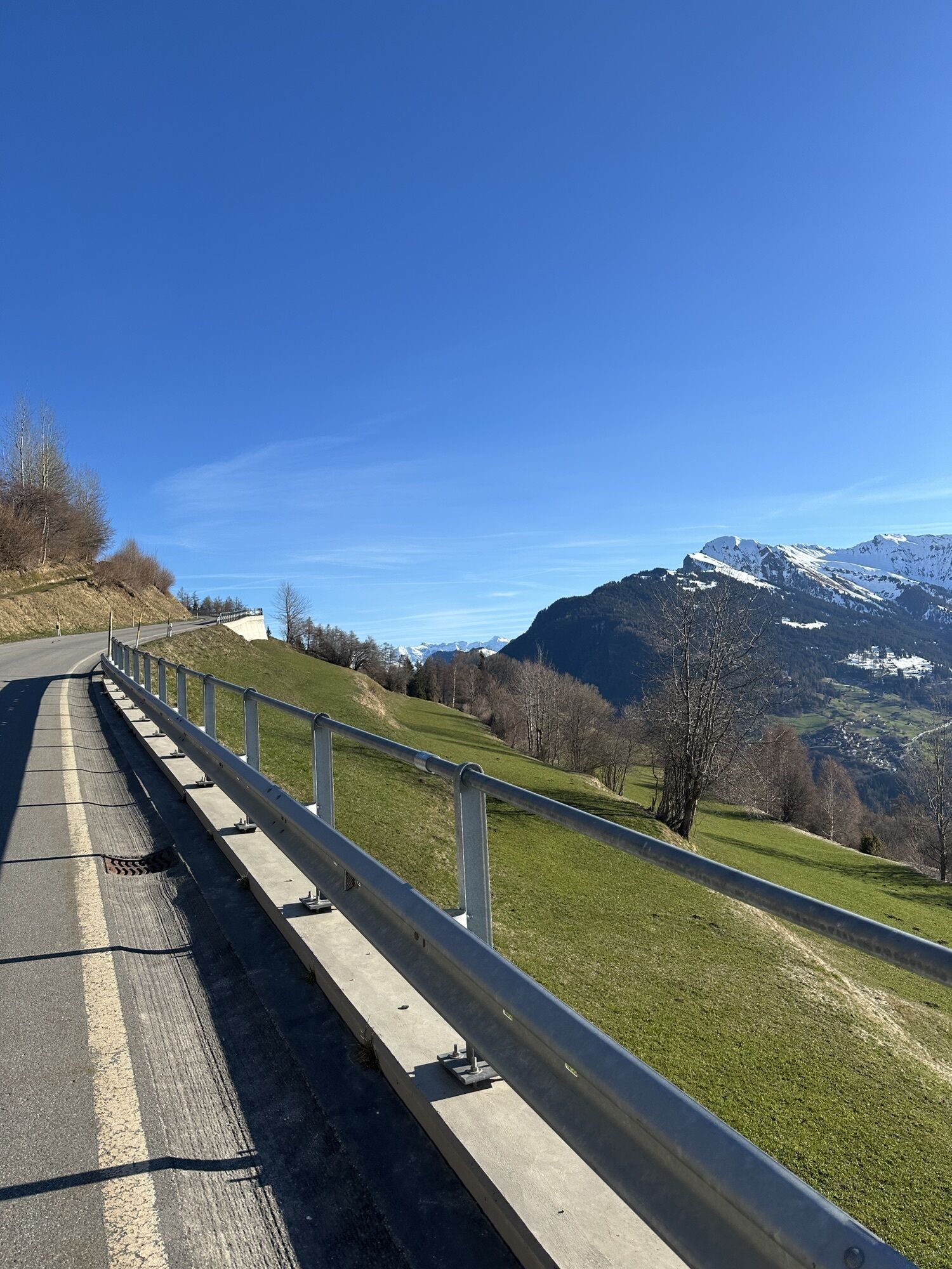
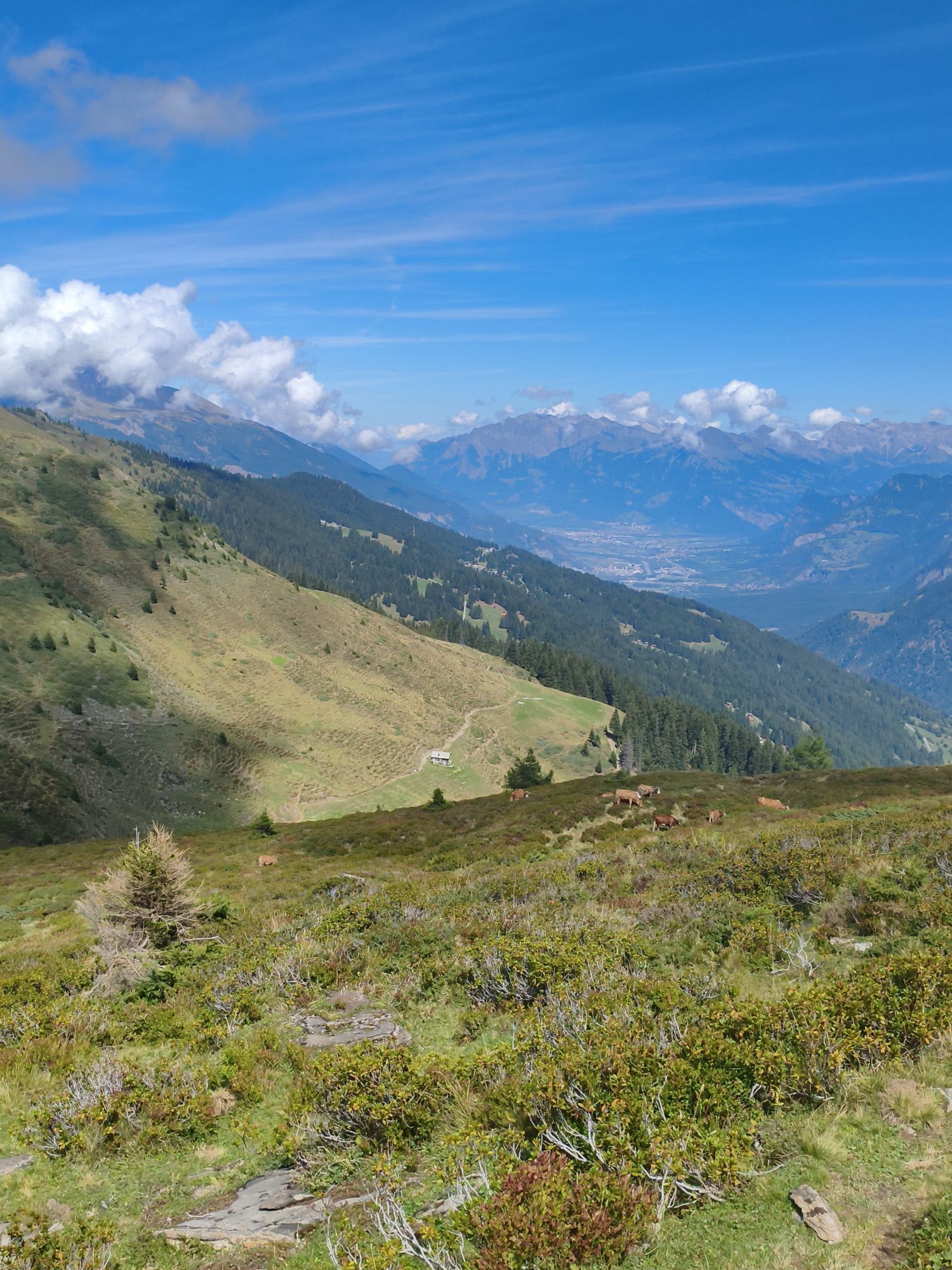
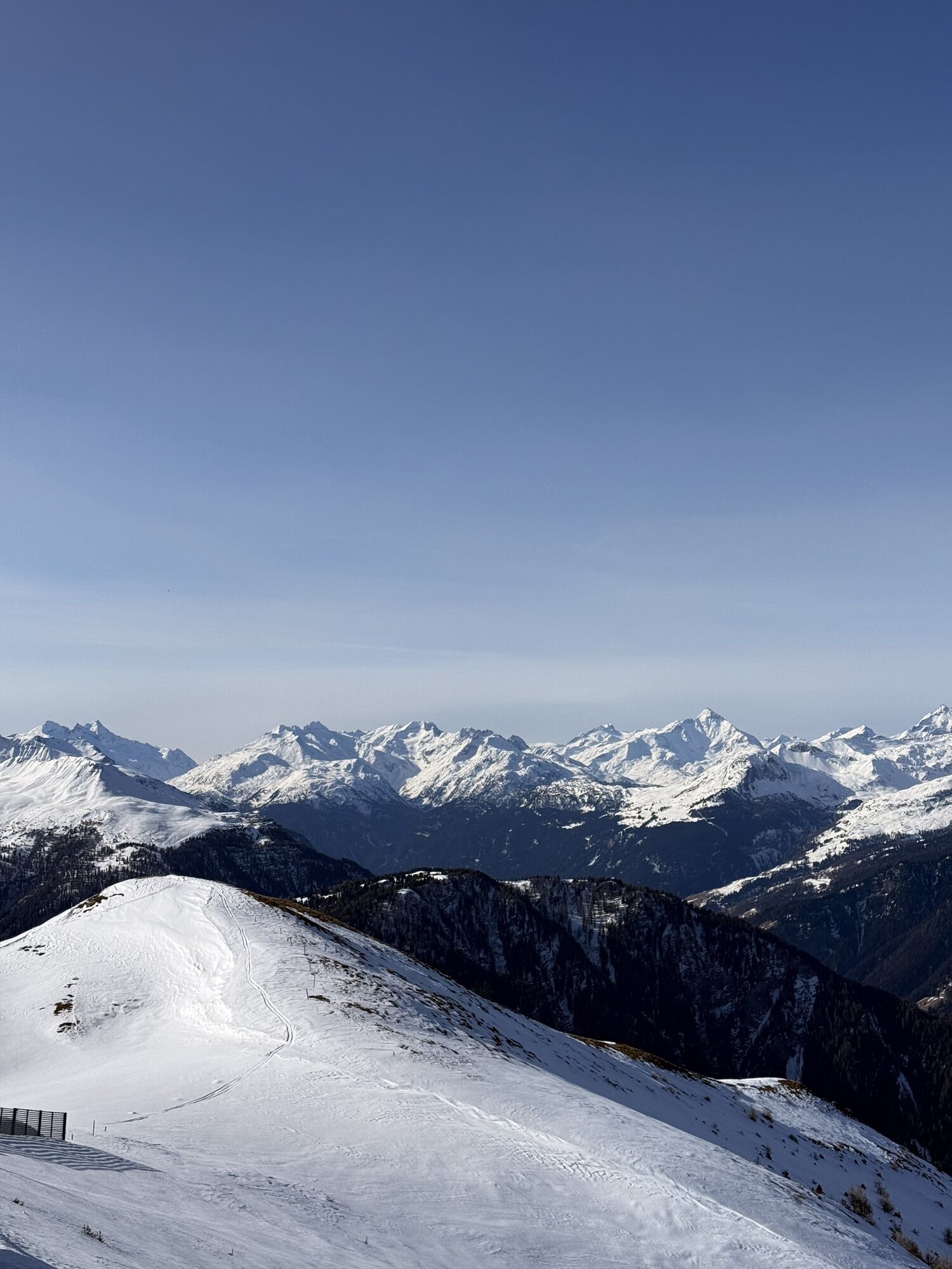
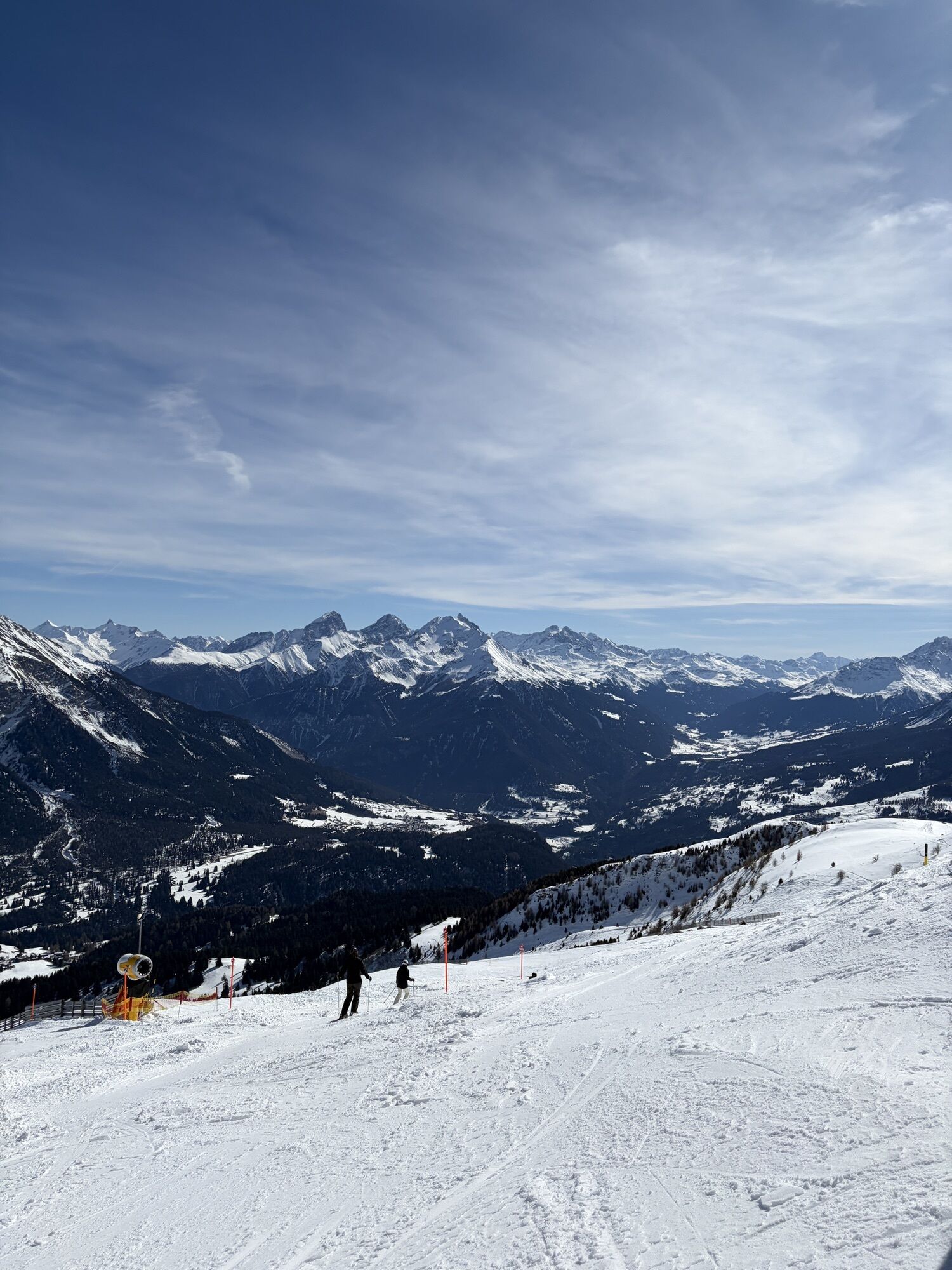
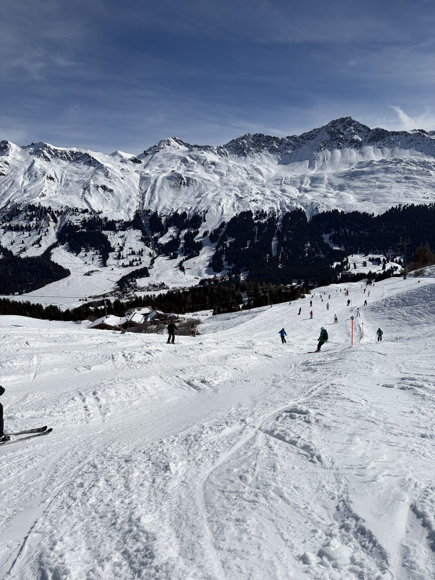
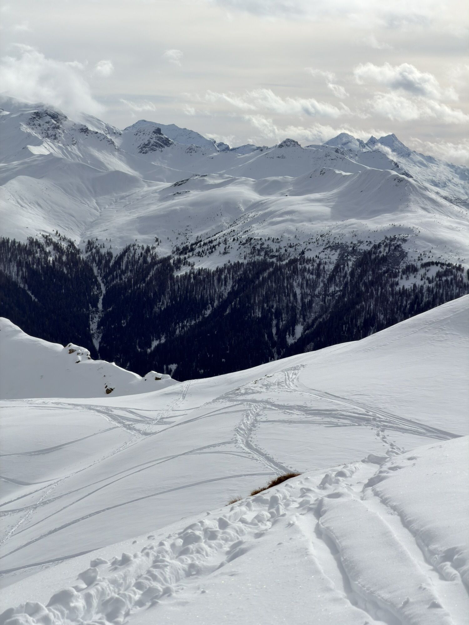
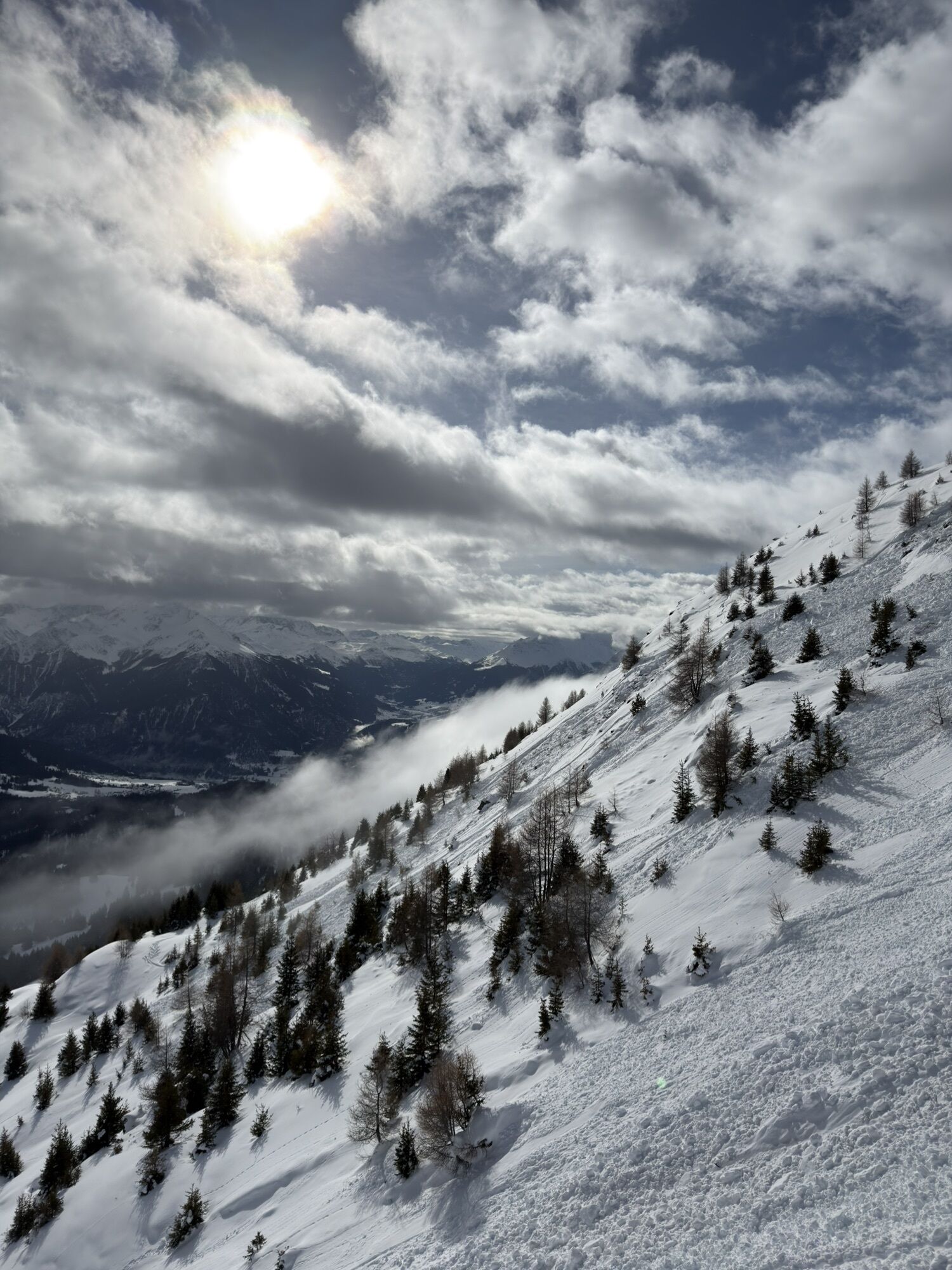
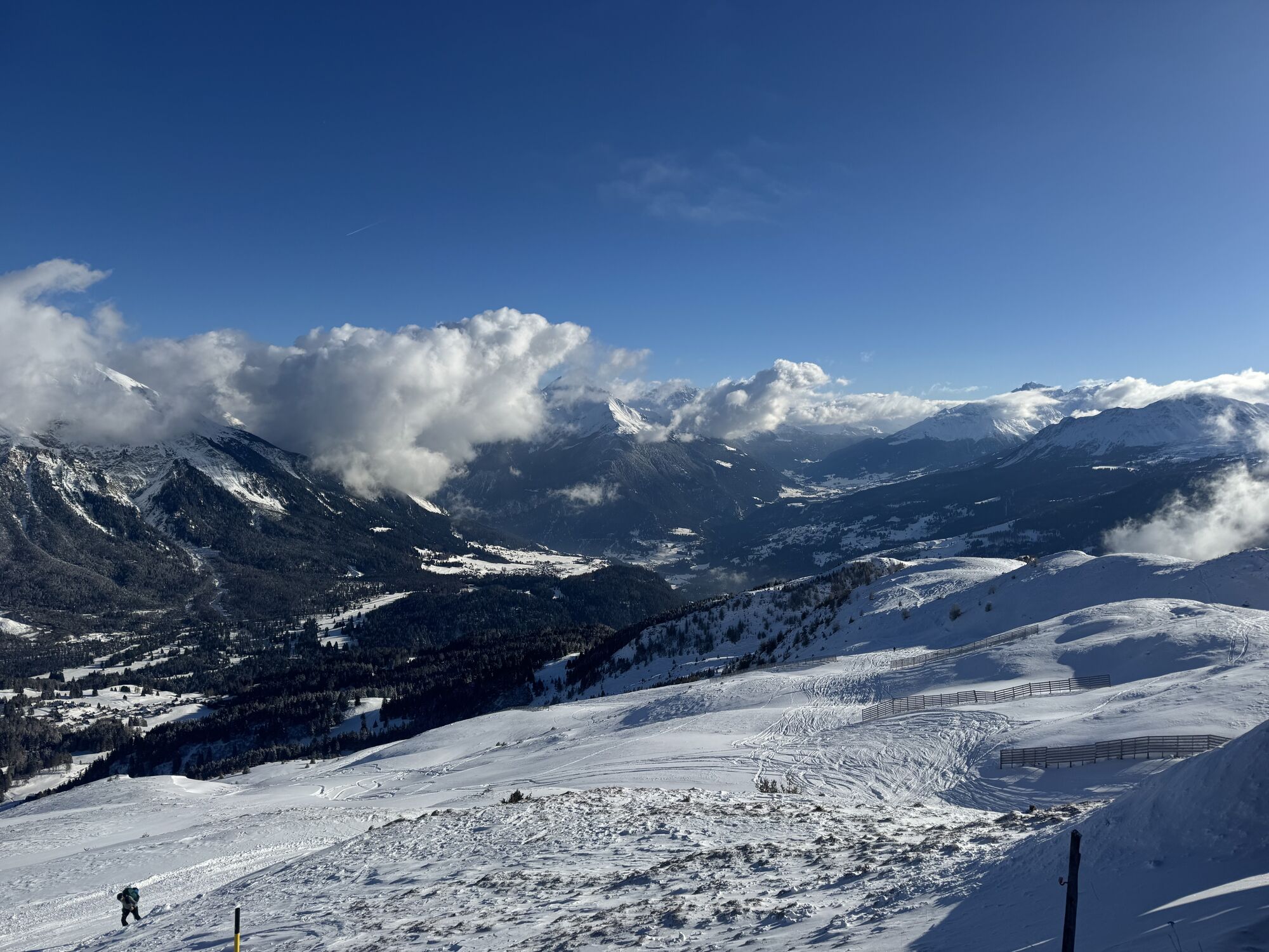
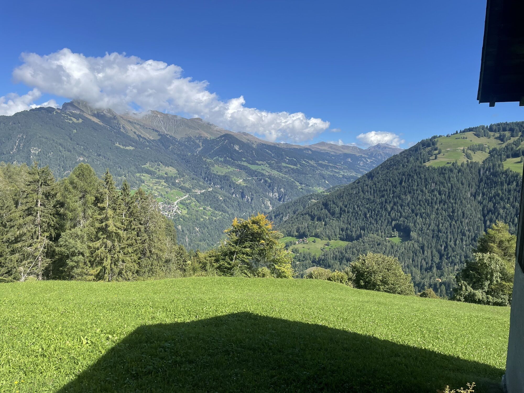
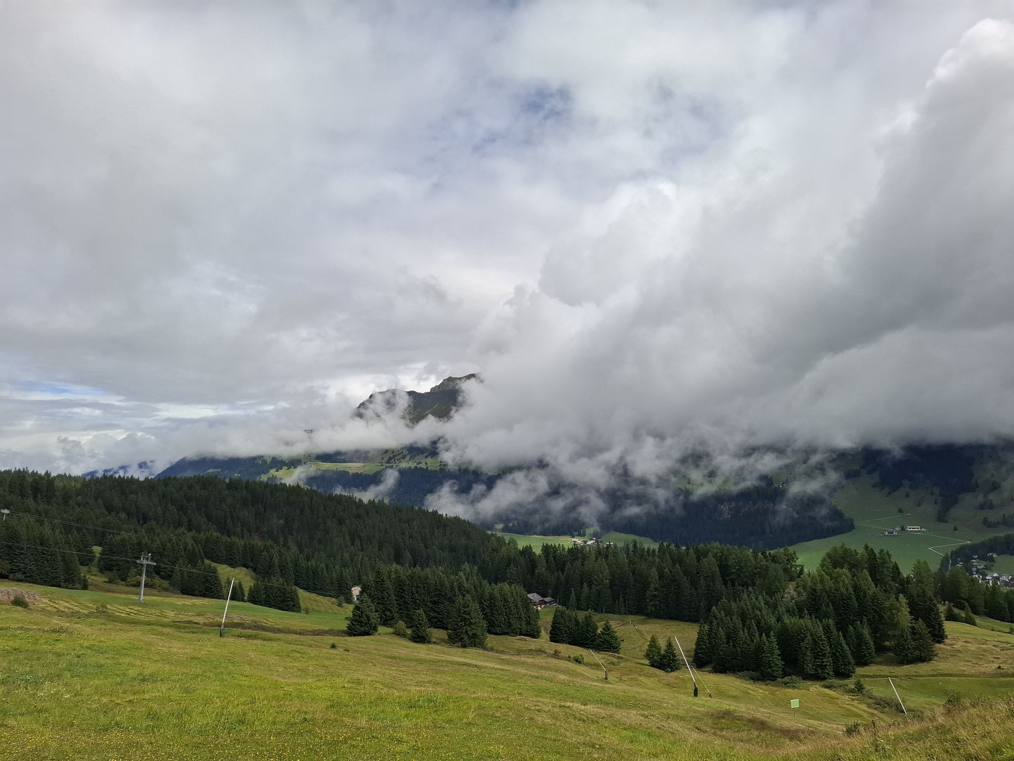
The gondola, equipped with a modern bike transport system, comfortably takes bikes and riders up to the local mountain of Heidner, the Piz Scalottas (2323 m above sea level). During the ride, enjoy views...
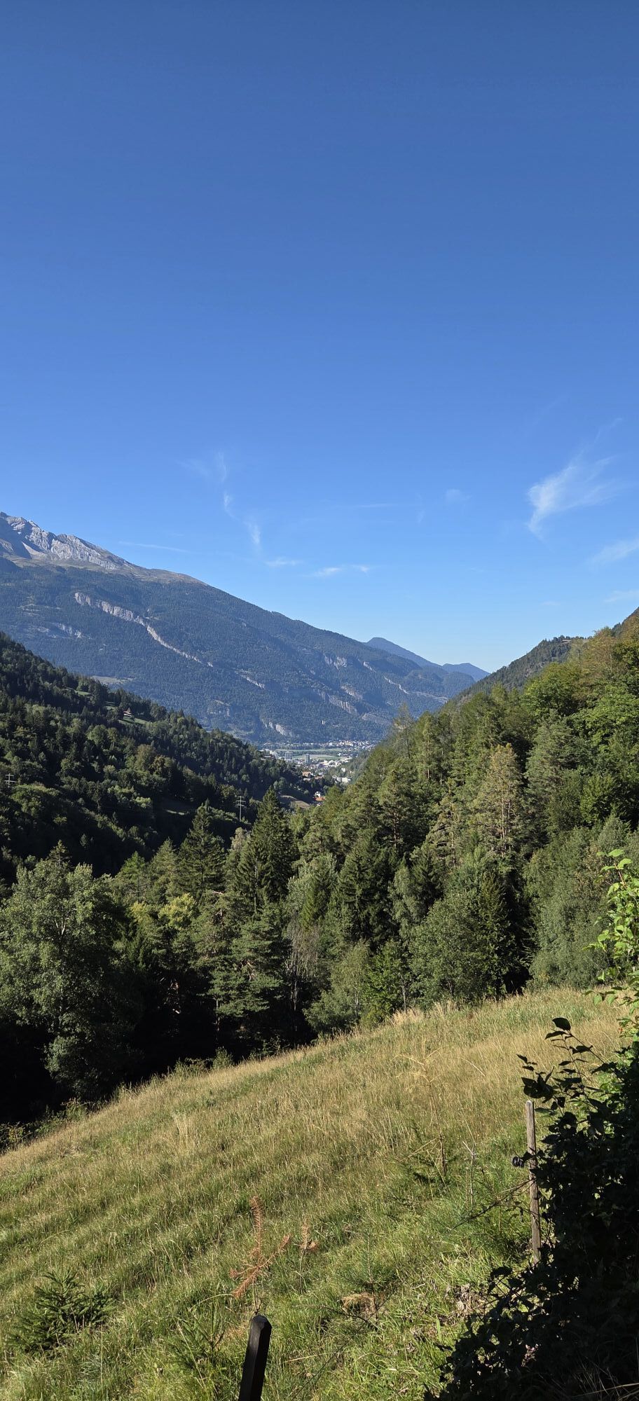
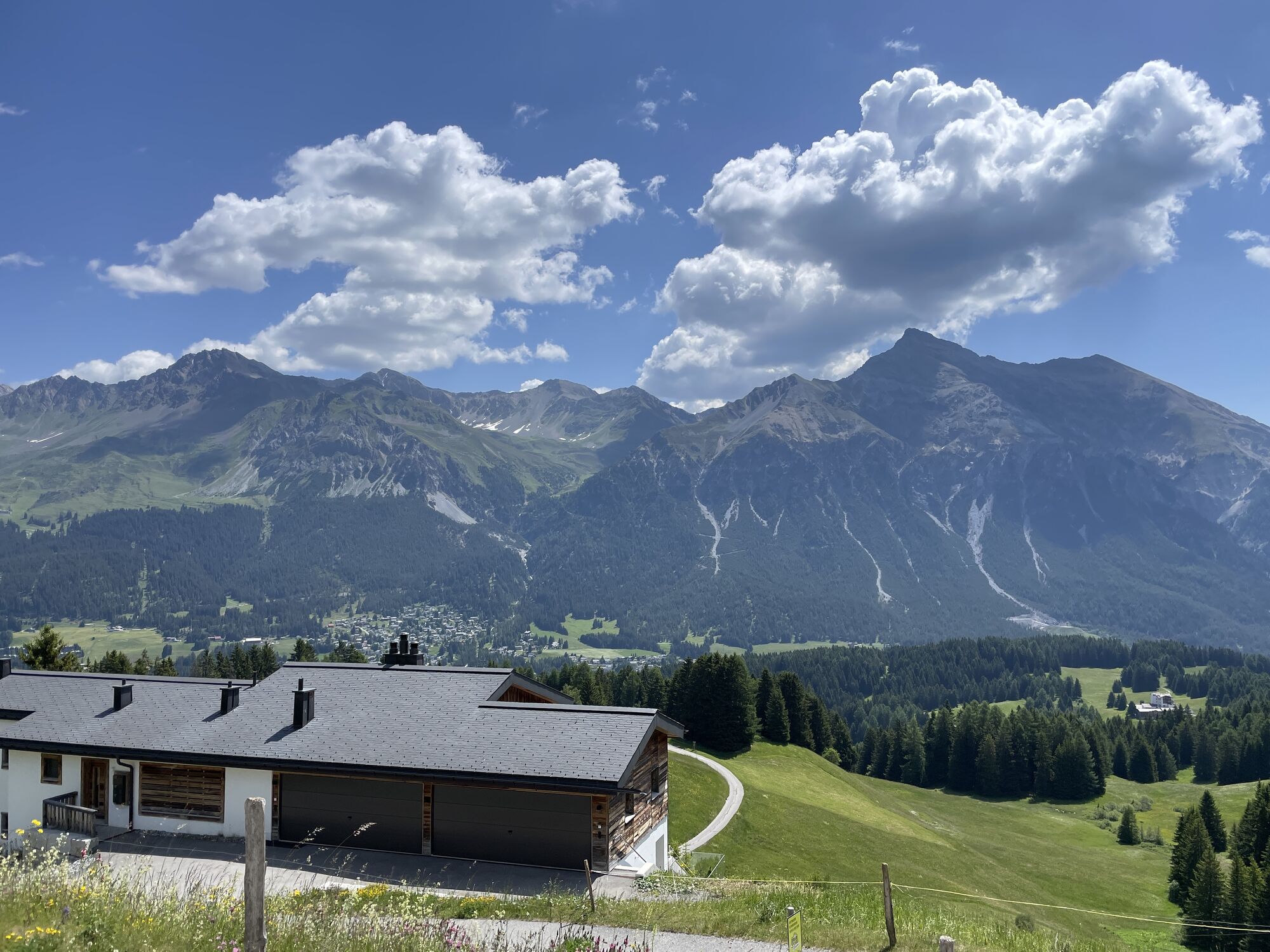
The gondola, equipped with a modern bike transport system, comfortably takes bikes and riders up to the local mountain of Heidner, the Piz Scalottas (2323 m above sea level). During the ride, enjoy views of the Lenzerheide plateau, the Domleschg, and the Albula valley. Once at the top, the ride begins: The flowing trail directly leads into a series of curves that not only require concentration but also pump adrenaline through your veins right from the start. Afterwards, you head along small roads and trails towards Alp Stätz.
The gentle descent passes the Valbella youth hostel and through the village of Parpan back to Churwalden. Another nature path brings you to the well-known mineral spring in Passugg. The wild stream Rabiosa - in Romansh called "die Tobende" (the raging one) - carves its way through the deep Passugg gorge. In 1863, the previously buried healing springs were rediscovered and today form the basis of the widely known Passugger mineral water sources throughout Switzerland. Then descend to Chur and take the gondola up to Brambrüesch. After that, enjoy a paved descent via Malix to Churwalden and the chairlift that takes you back up to Heidbüel.
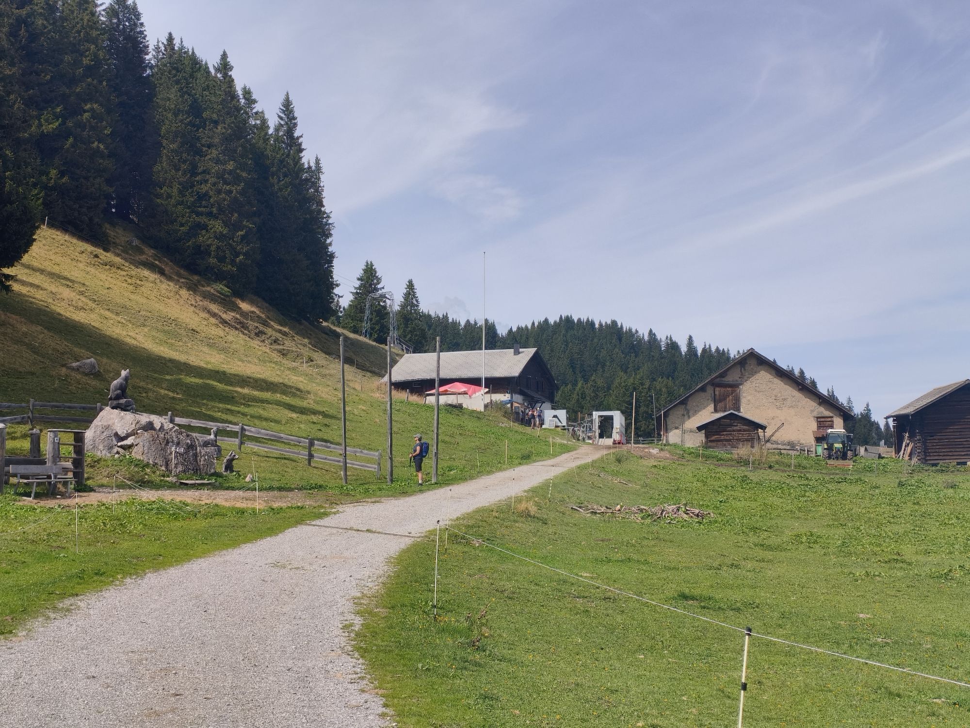
On the rest of the route, the valley along with Lake Heidsee remains practically in sight. On alpine roads, go from Stätzertäli again past Alp Stätz and further to Valbella. Next destination: the Heidsee, which warms up to over 20° C in summer and invites for a refreshing swim. Here you can watch windsurfers and sailors before finally returning to the starting point Lenzerheide.
Attention: The Tgantieni and Scalottas chairlifts do not transport downhill bikes (double-crown fork)!

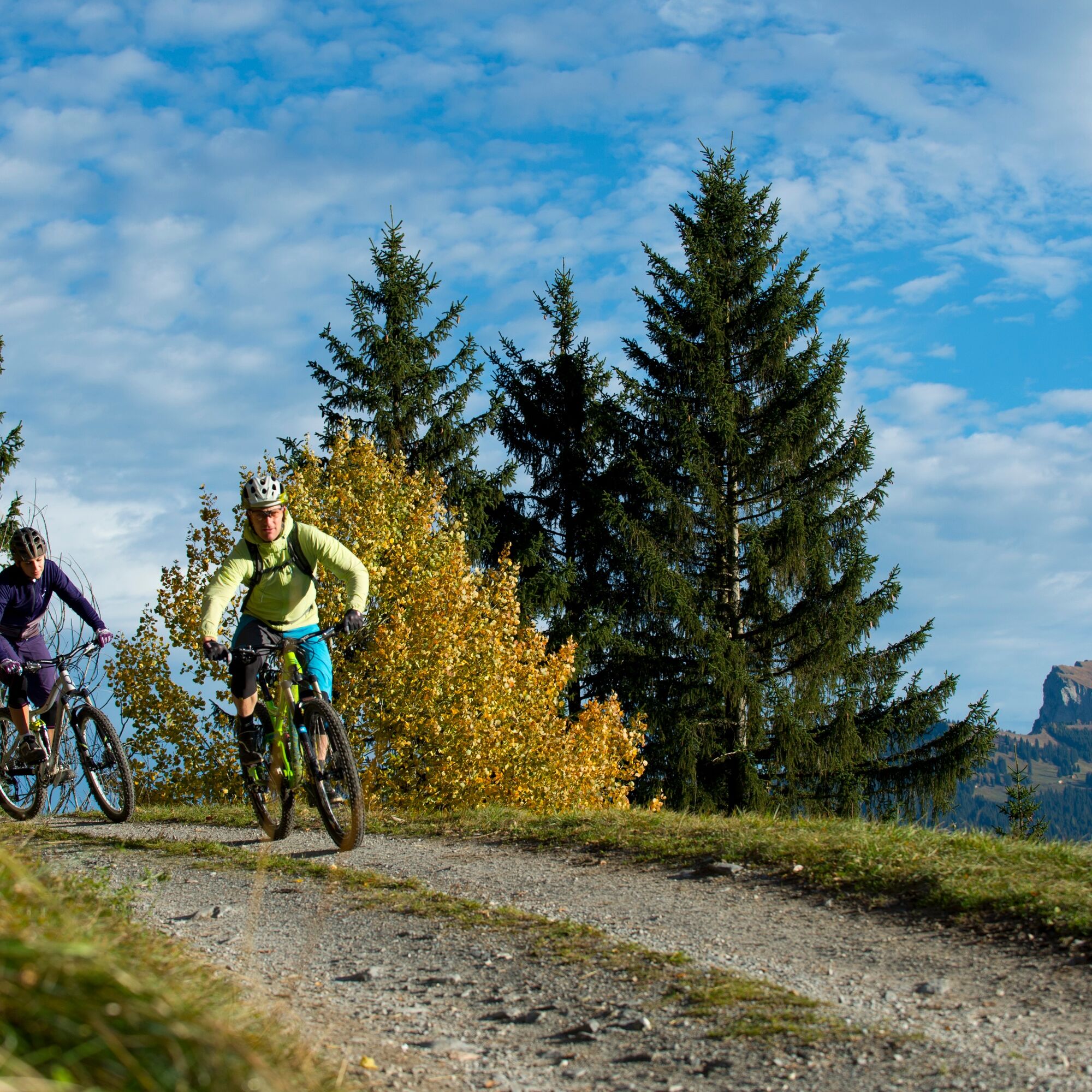
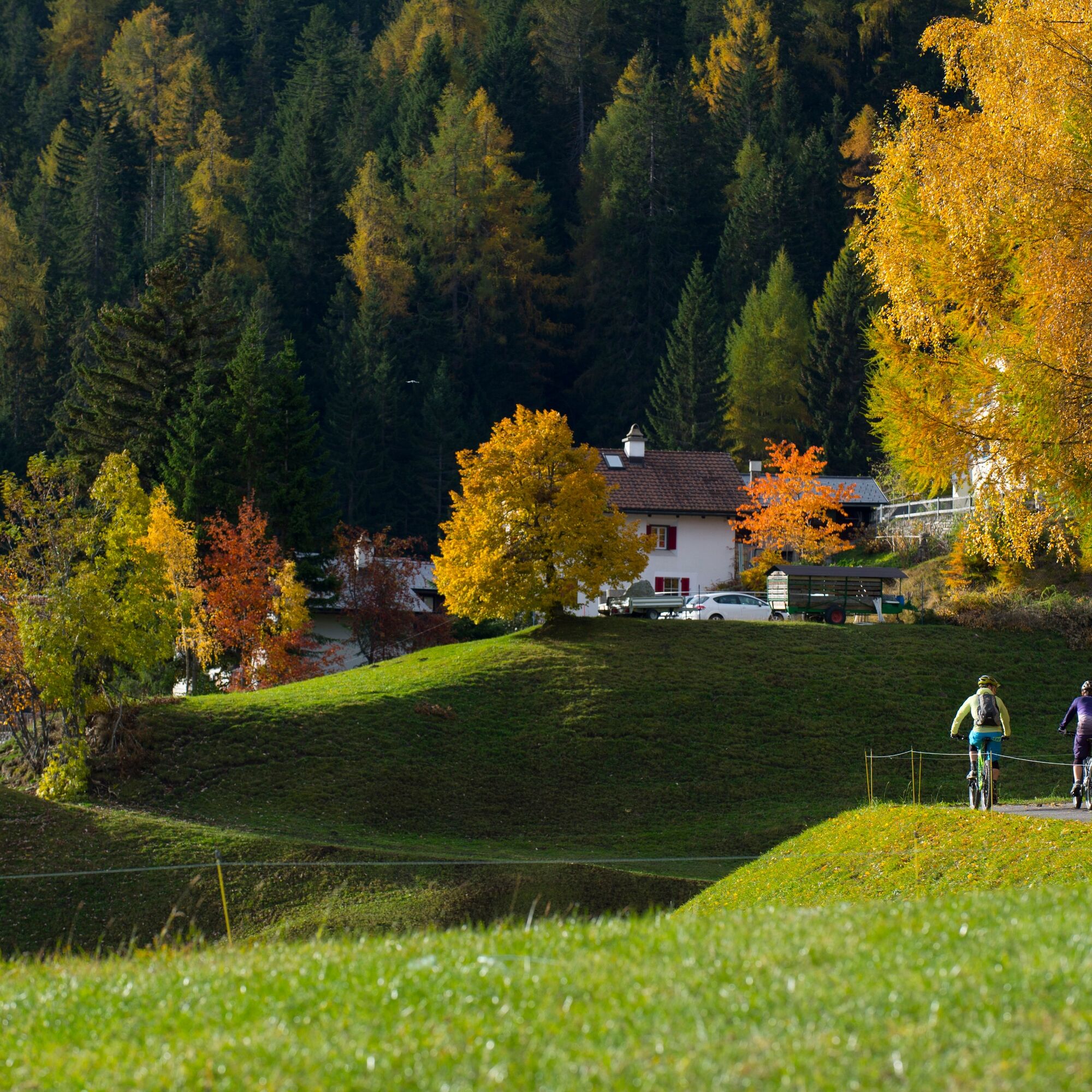
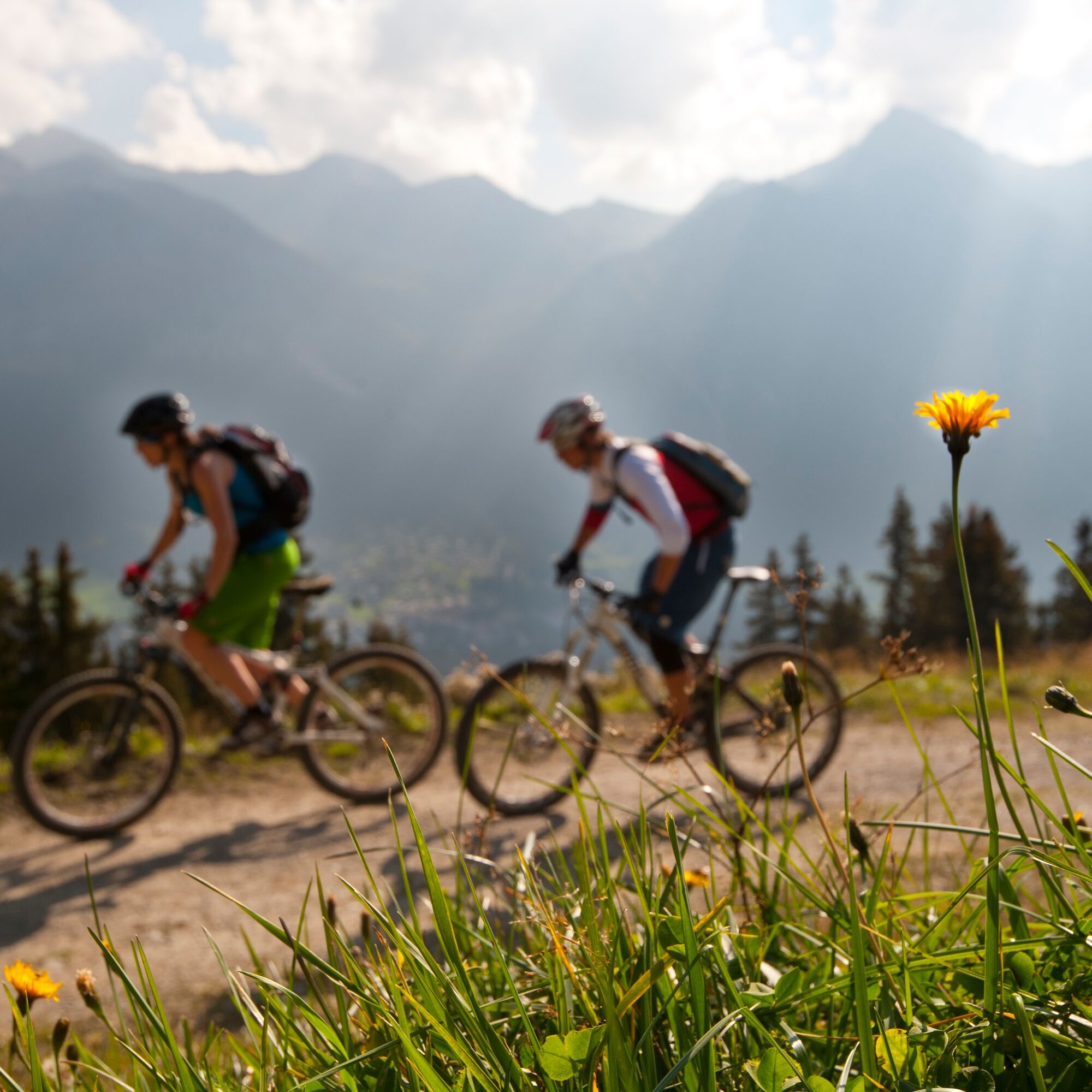

Lenzerheide - Tgantieni - Parpan - Churwalden - Passugg - Chur - ride the mountain gondola to Brambrüesch - Malix - Churwalden - Alp Stätz - Lenzerheide
Tak
Tak
Protector jackets and full-face helmets are also prohibited. Normal helmets, knee and elbow protectors are permitted.
Attention:
- The Tgantieni and Scalottas chairlifts do not transport downhill bikes (double-crown fork)!
- Please observe the respective operating hours and transport criteria before starting the route. More information can be found here.
From Basel and Zurich - Chur-South (exit no. 17) - Lenzerheide.
From Milan - Lugano - San Bernardino Tunnel - Thusis - Chur (Lenzerheide exit) - Lenzerheide.
Travel by train to Chur, then transfer directly to the Postauto Graubünden buses to reach Lenzerheide within 30 minutes.
Parking: Julier parking lot, Rothorn parking lot or Tgantieni parking lot
Ferienregion Lenzerheide
Voa Principala
377078 Lenzerheide
Tel. +41 (0)81 385 57 00
Fax. +41 (0)81 385 57 01
Kamery internetowe z trasy
-
Lenzerheide - Urdenfürggli
-
Lenzerheide - Parpaner Rothorn
-
Lenzerheide - Alp Stätz
-
Lenzerheide - Piz Scalottas
-
Lenzerheide - Talstation Rothorn
-
Lenzerheide Biathlon Arena
-
Alpenstadt Chur
-
Tschiertschen Talstation
-
Brambrüesch / Sesselbahn Hühnerköpfe
-
Tschiertschen Talbereich
-
Lenzerheide Dorf
-
Lenzerheide - Heimberg
-
Lenzerheide - Heidbüel
-
Wassersportzentrum Heidsee
-
Wassersportzentrum Heidsee
-
Chur

Popularne wycieczki w okolicy
-
4,8
Tamina Gorge Circular Route
średniWędrówka 14,0 km -
4,6
Pizalun circular route
światłoWędrówka 7,18 km -
4,8
Mountain hike to the Strudeltöpfe on Alp Mora: Bargis-Trin
ciężkiWędrówka 18 km -
Arosa-Schwellisee-Älplisee-Parpaner Rothorn
Wędrówka 12,3 km -
4,5
Drachenloch
ciężkiWędrówka 9,72 km -
4,7
Arosa-Hörnli-Parpaner Rothorn-Lenzerheide
Wędrówka 11,9 km -
5,0
Alp Sanaspans - Rothorn
ciężkiWędrówka 13,6 km -
5,0
Eichhörnliweg Arosa
światłoTrasa tematyczna 1,72 km -
5,0
Arosa-Hörnli-Urdenfürrgli-Alp Scharmoin-Lenzerheide
średniWędrówka 15,3 km -
3,0
From Vättis to the Walser settlement St. Martin
średniWędrówka 8,03 km
Wędrówki i tropienie


Nie przegap ofert i inspiracji na następne wakacje
Twój adres e-mail została dodana do listy mailingowej.





