







S-chanf - Pass Chaschauna - S-chanf (marked e-mountain bike route B)
Poziom trudności: 4
The start of this route is the church in S-chanf, in the middle of the village. The lower path leads to the bridge at the village exit. Cross the bridge and follow the road past the Prasüras parking lot...
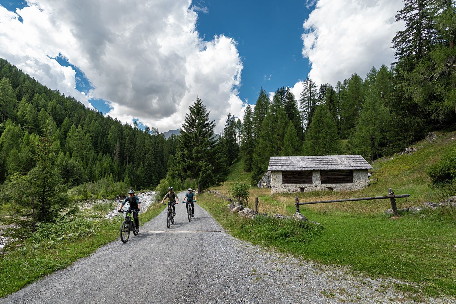
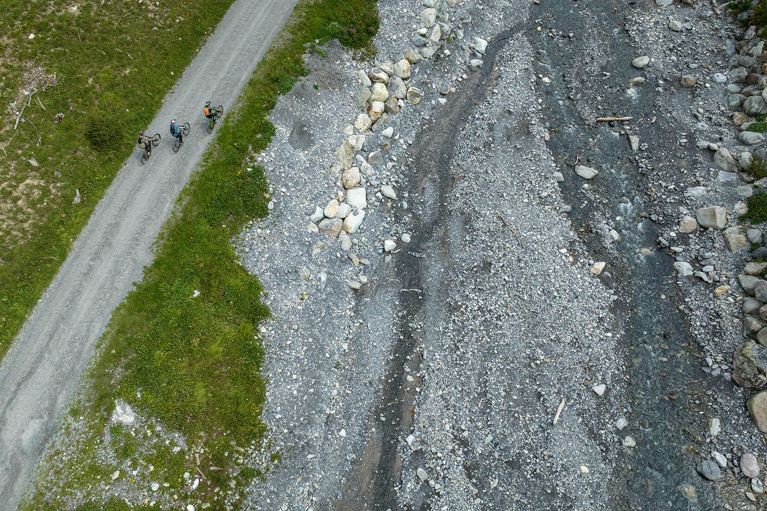
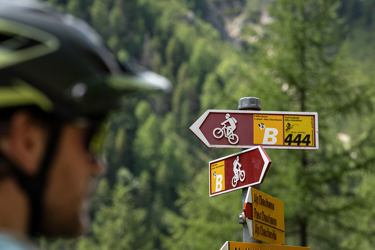
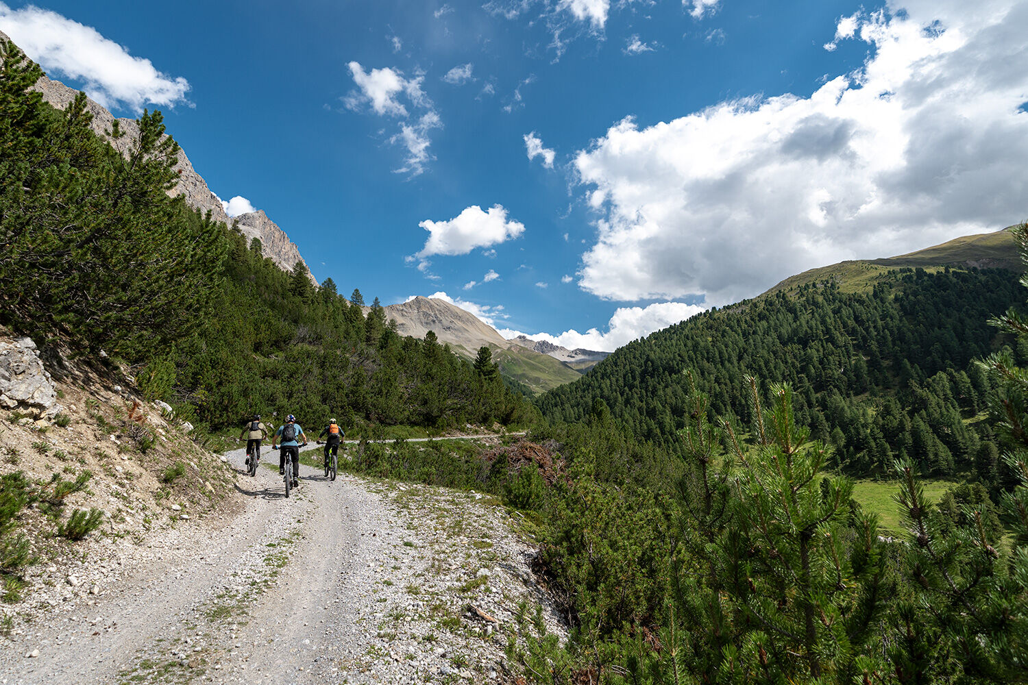
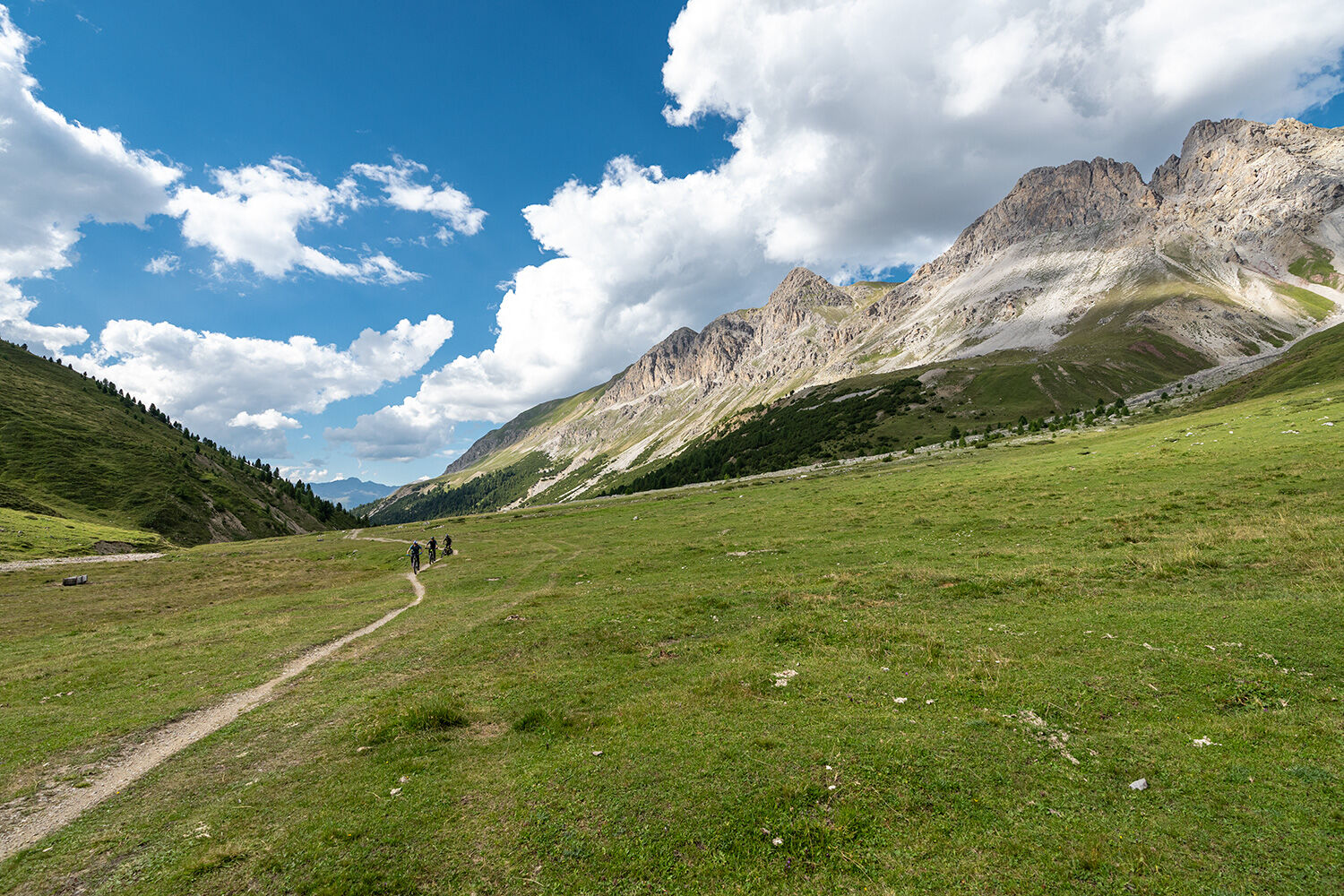
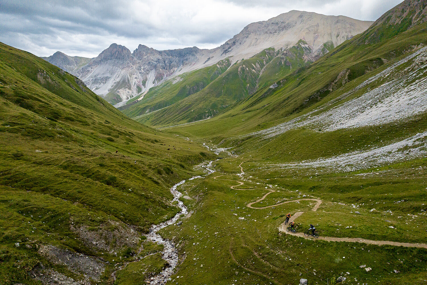
The start of this route is the church in S-chanf, in the middle of the village. The lower path leads to the bridge at the village exit. Cross the bridge and follow the road past the Prasüras parking lot to Varusch. Shortly before the Varusch shelter, the road branches right over the bridge and up to Alp Chaschauna. Val Chaschauna is the side valley of Val Trupchun, the most wildlife-rich valley in the Swiss National Park. After Alp Chaschauna, the trail climbs steeply in switchbacks to the national border. After a well-deserved rest, you return on the same trail back to the alp, and then following the National Park Bike Marathon 444 back to S-chanf.
S-chanf is also the starting point for the marked e-bike route A or the turnaround point of the marked e-bike route C.
Further information:
Engadin Tourism AG
Via Maistra 1
CH-7500 St. Moritz
Phone: +41 81 830 00 01
E-mail: allegra@engadin.ch
Internet: www.engadin.ch

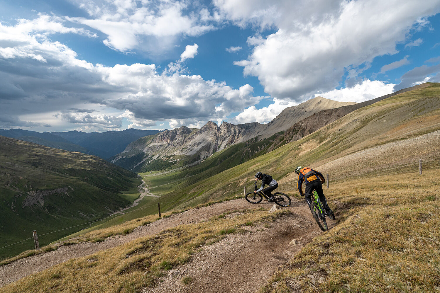
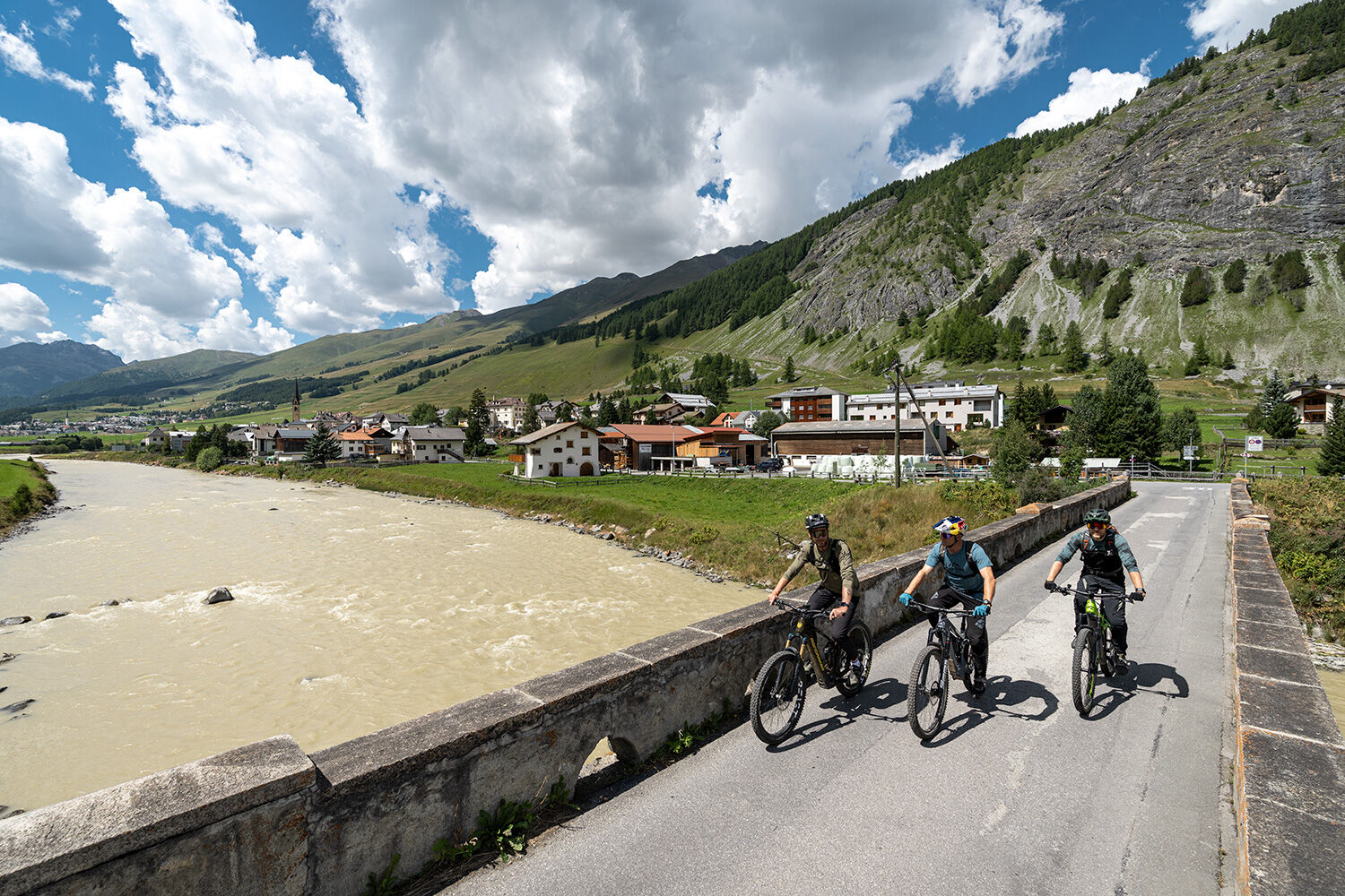
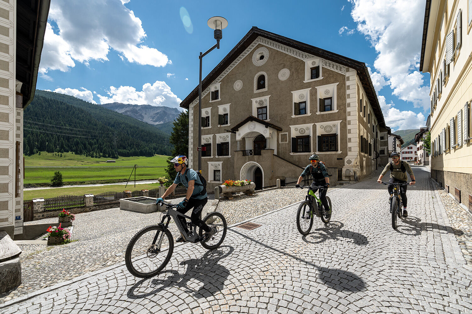
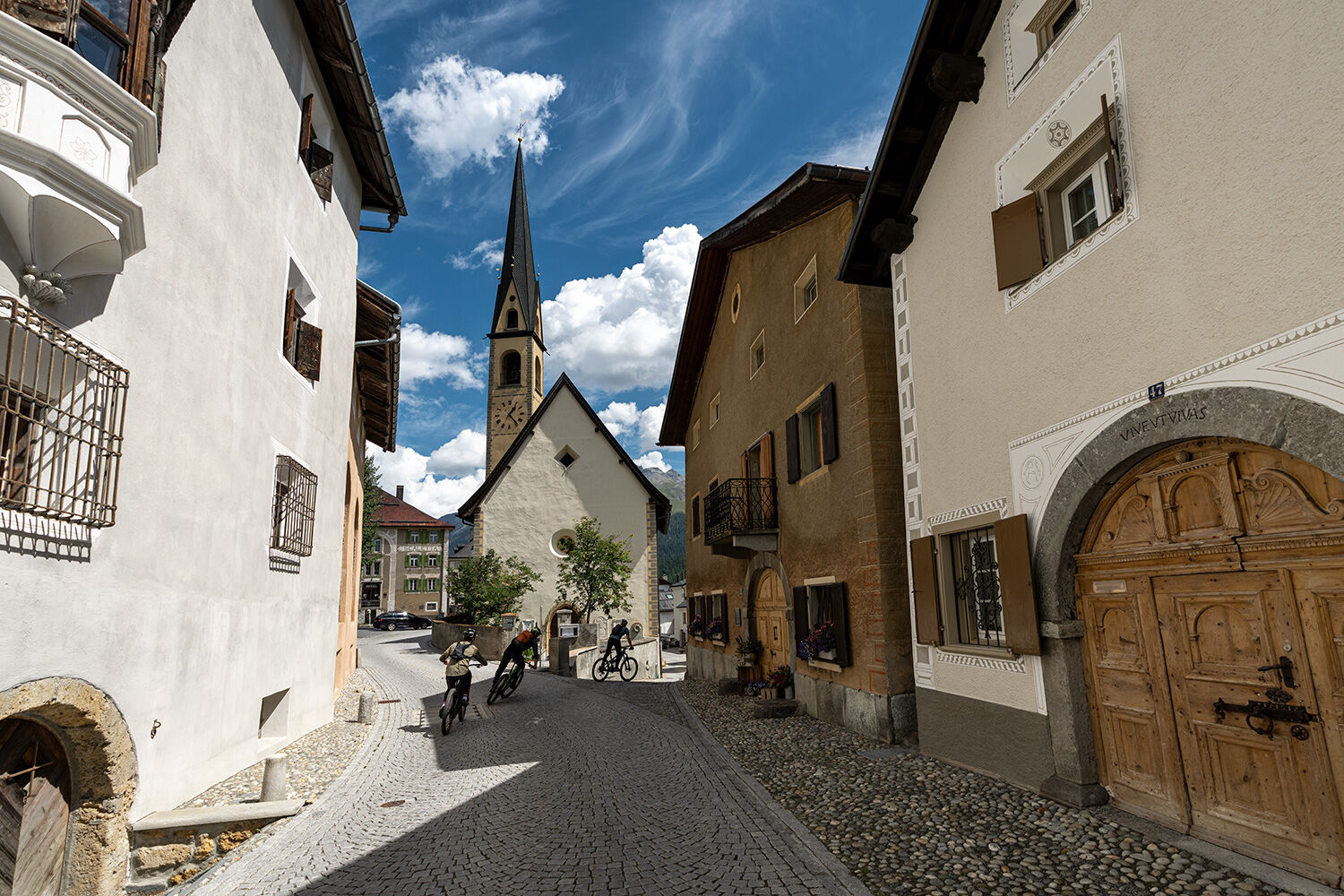
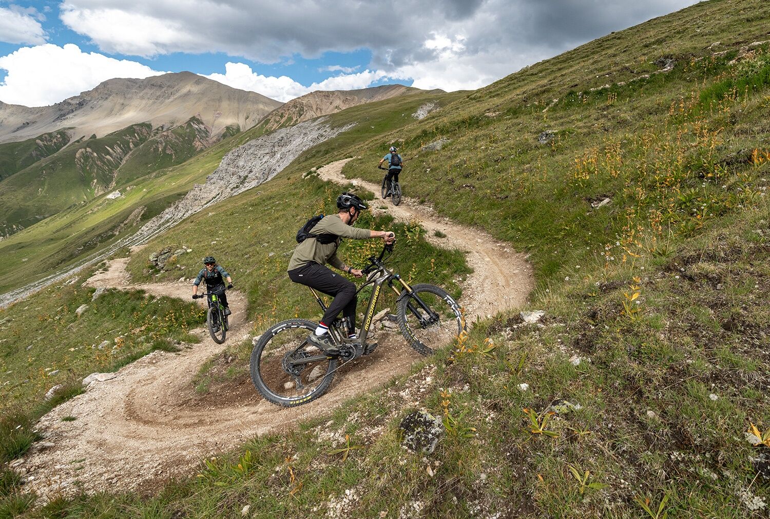
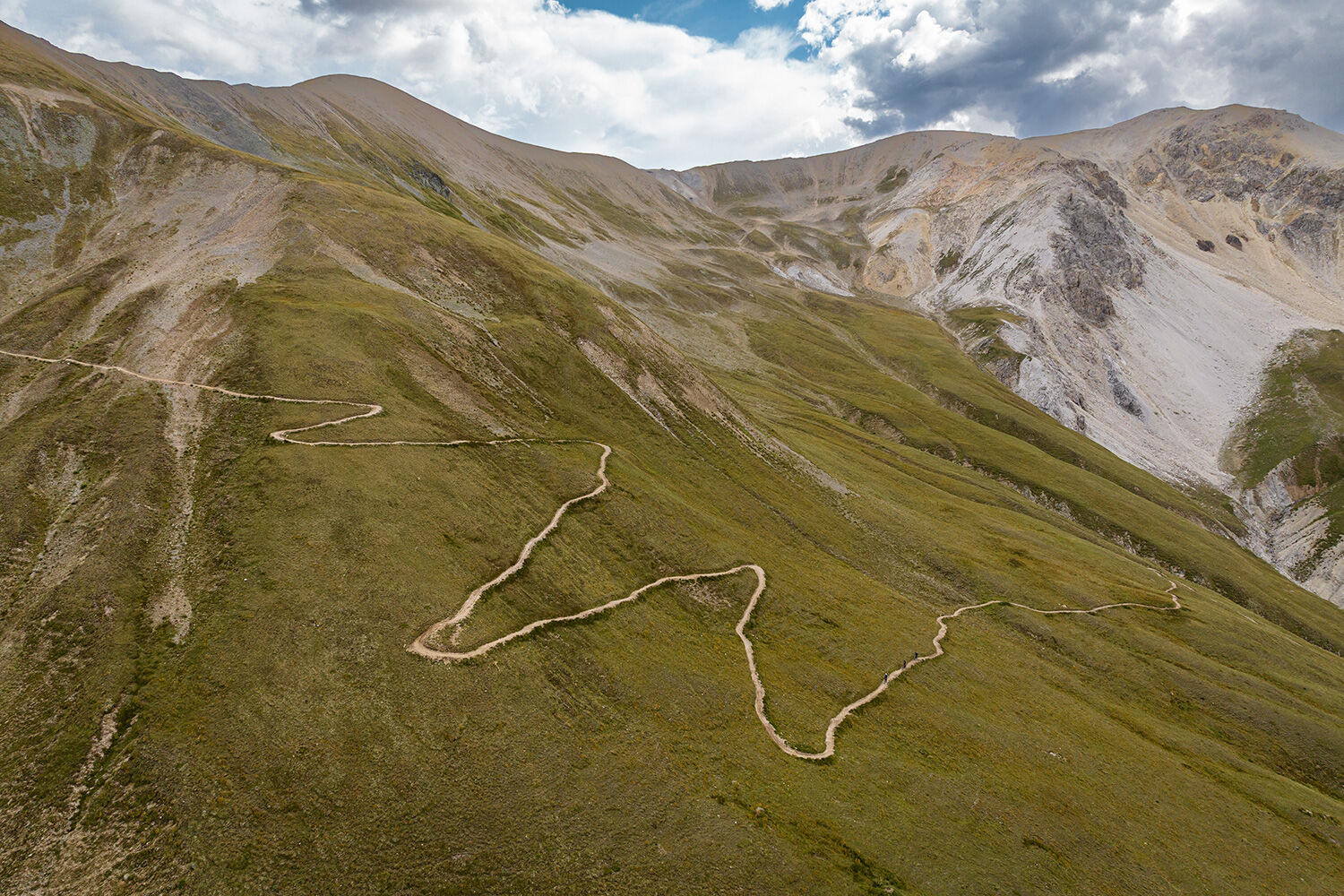
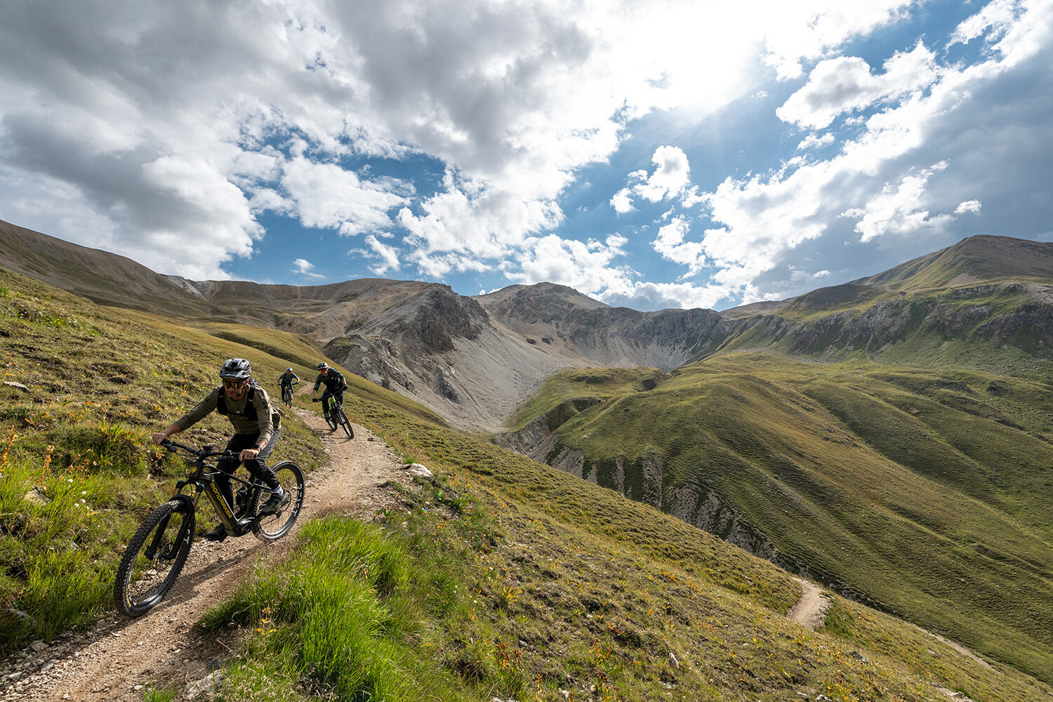
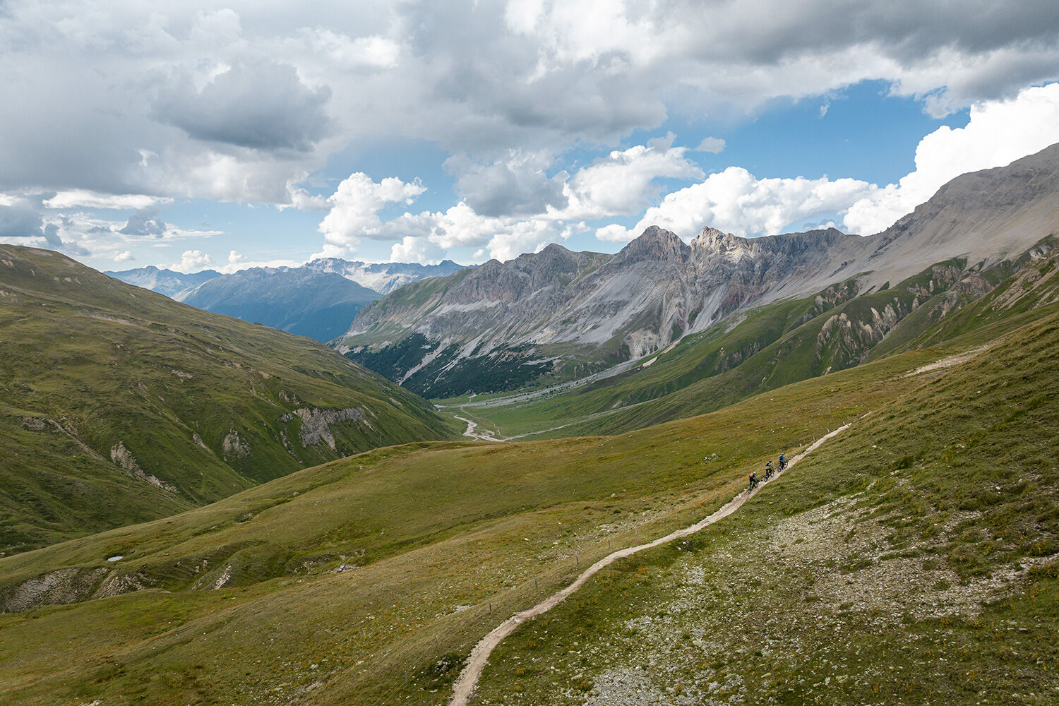
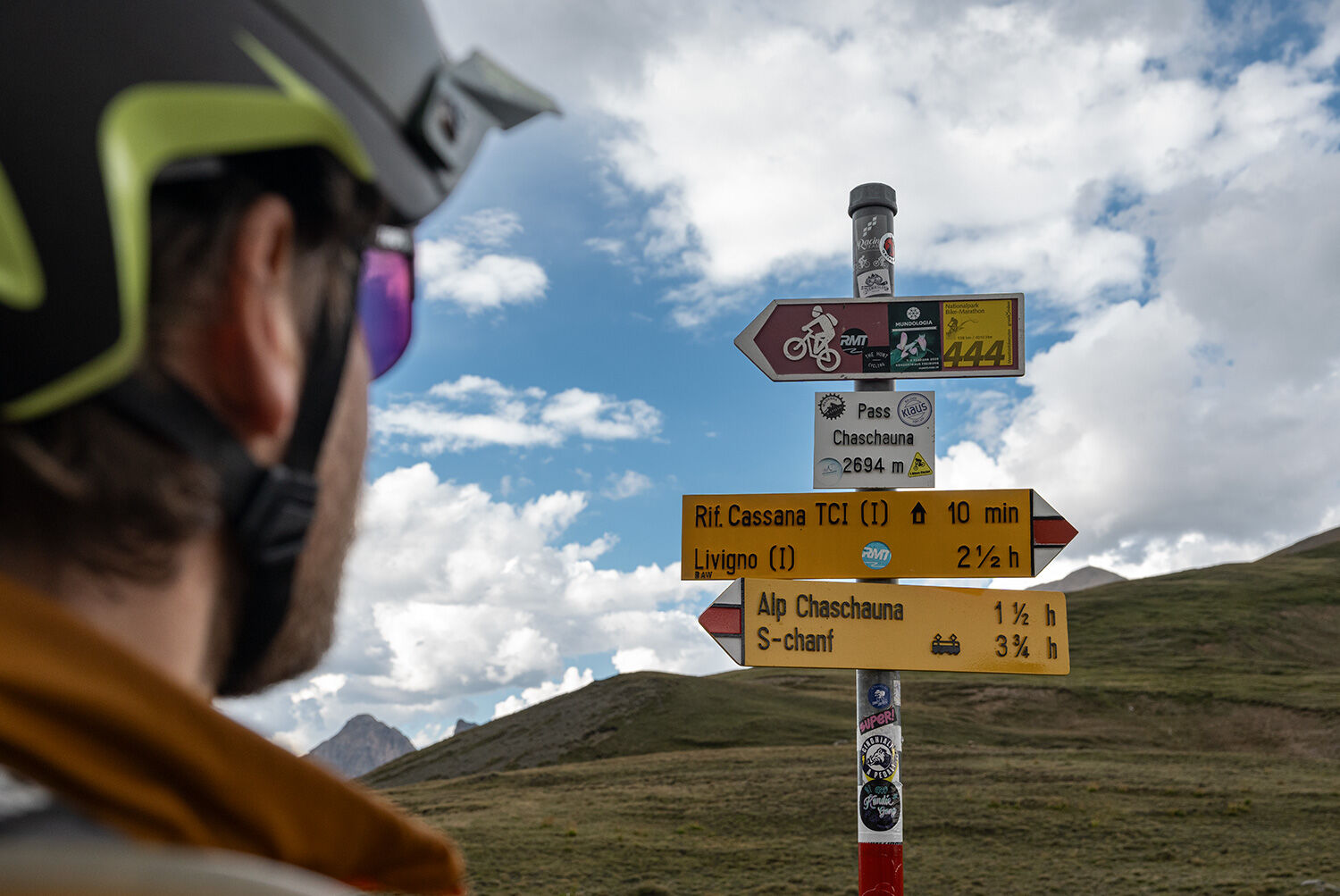
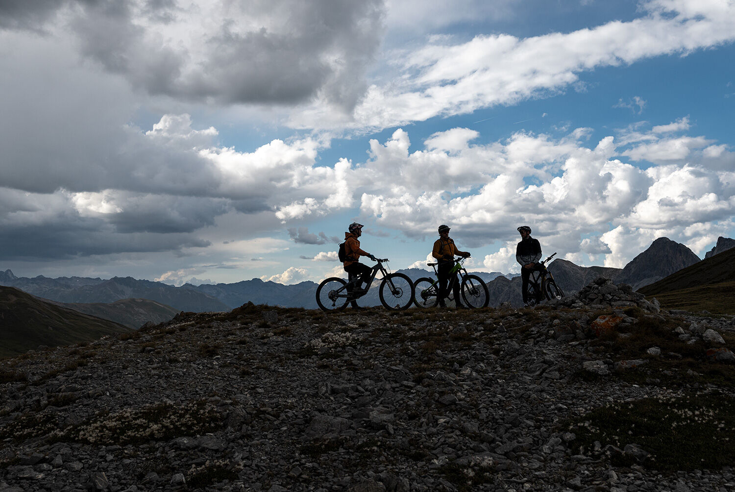
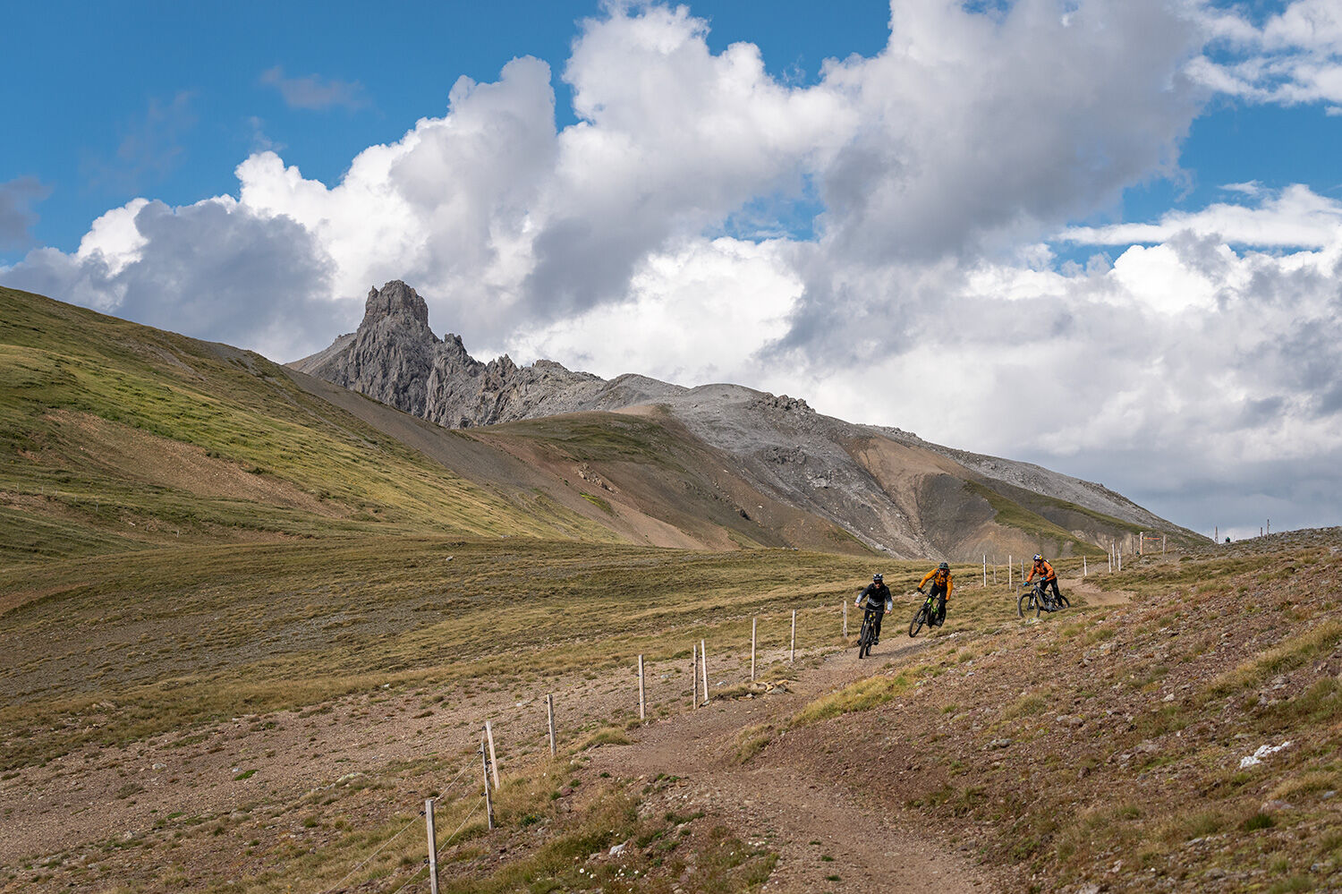
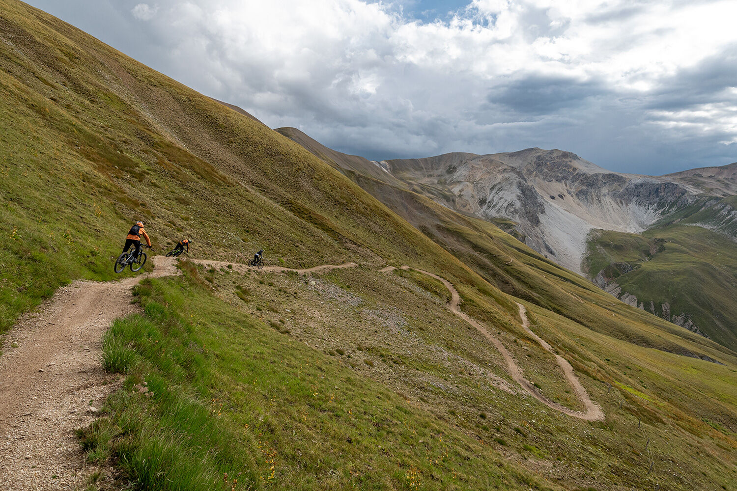

S-chanf - Alp Vaüglia Suot - Alp Chaschauna - Pass Chaschauna - Alp Chaschauna - Alp Vaüglia Suot - S-chanf
Mobile reception is not guaranteed in the valley.
4
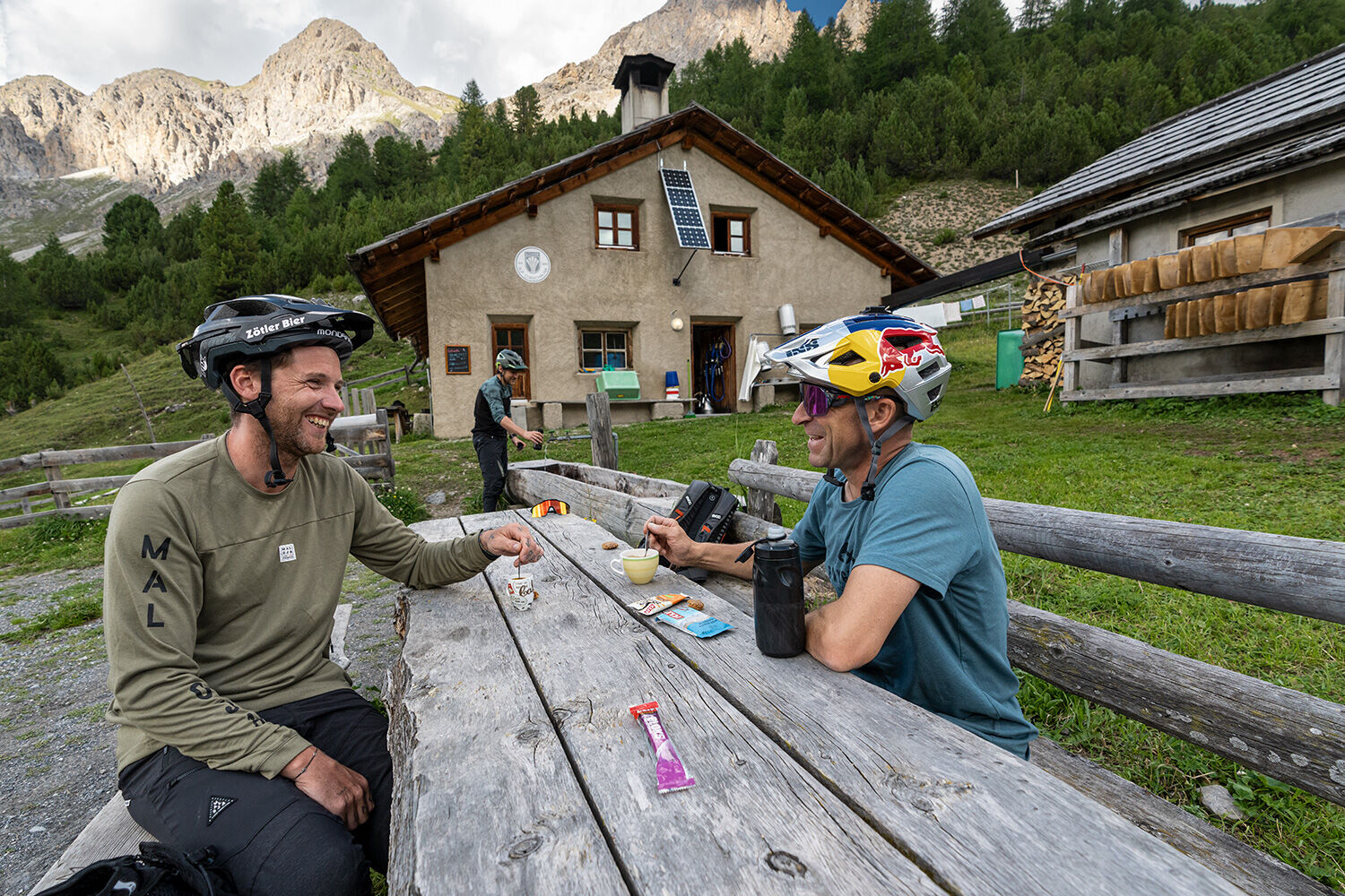
Below the pass on the Italian side lies the Rifugio Cassana; if you plan to take a break there, make sure it is open. At Alp Chaschauna the herdsman serves food and drink when present (cash only).
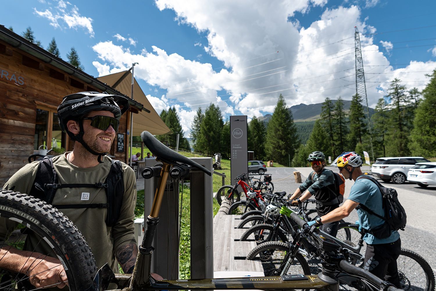
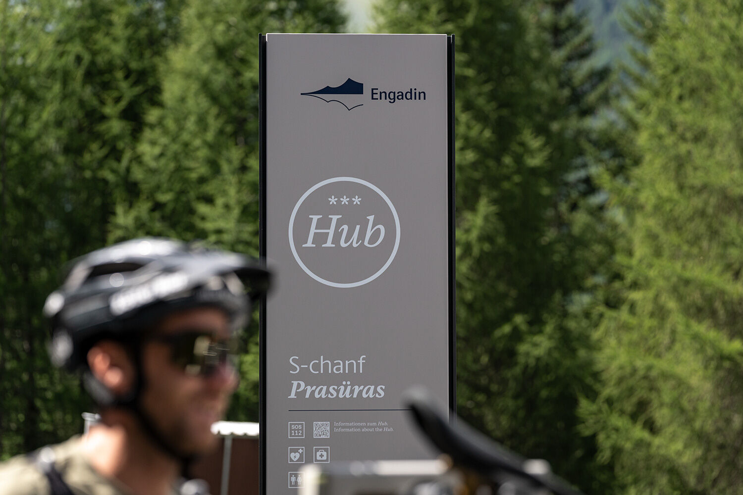
At Prasüras there is an energy bench where the e-bike can be recharged (don't forget the charging cable).
 Uzyskaj wgląd
Zawsze na żywo z ponad 9 500 kamer internetowych. bergfex Jako użytkownik Pro, możesz teraz zobaczyć odpowiednie kamery internetowe dla wielu wycieczek w aplikacji wycieczki od. Pozwala to na bezpośredni podgląd aktualnych warunków.
Uzyskaj wgląd
Zawsze na żywo z ponad 9 500 kamer internetowych. bergfex Jako użytkownik Pro, możesz teraz zobaczyć odpowiednie kamery internetowe dla wielu wycieczek w aplikacji wycieczki od. Pozwala to na bezpośredni podgląd aktualnych warunków.
Popularne wycieczki w okolicy
-
4,9
Circular hike Val Trupchun in the Swiss National Park
średniWędrówka 13,8 km -
4,7
Panoramic route Muottas Muragl
światłoWędrówka 6,75 km -
5,0
Muottas Muragl - Segantini hut - Pontresina
średniWędrówka 6,46 km -
Muottas Muragl - Segantini Hütte - Pontresina
średniWędrówka 17,5 km -
4,7
Alp Languard - Segantini Hut - Muottas Muragl
średniTrailrunning 6,45 km -
5,0
Lej Muragl
średniWędrówka 7,39 km -
5,0
Alp Languard - Paradis Hut - Pontresina
światłoWędrówka 7,05 km -
4,8
National Park: Grimmels (circular hike)
światłoWędrówka 6 km -
5,0
Crap da la Pare' with Joëlette
światłoWędrówka 4,58 km -
4,9
GoVertical Trail – Bernina Ultraks
ciężkiTrailrunning 7,02 km
Wędrówki i tropienie


Nie przegap ofert i inspiracji na następne wakacje
Twój adres e-mail została dodana do listy mailingowej.





