


Muttener Runde
Remote mountain villages and barely used forest paths characterize this beautiful tour to Mutten and Stierva on the other side of the Albula valley. This medium-difficulty round can be mastered by any...
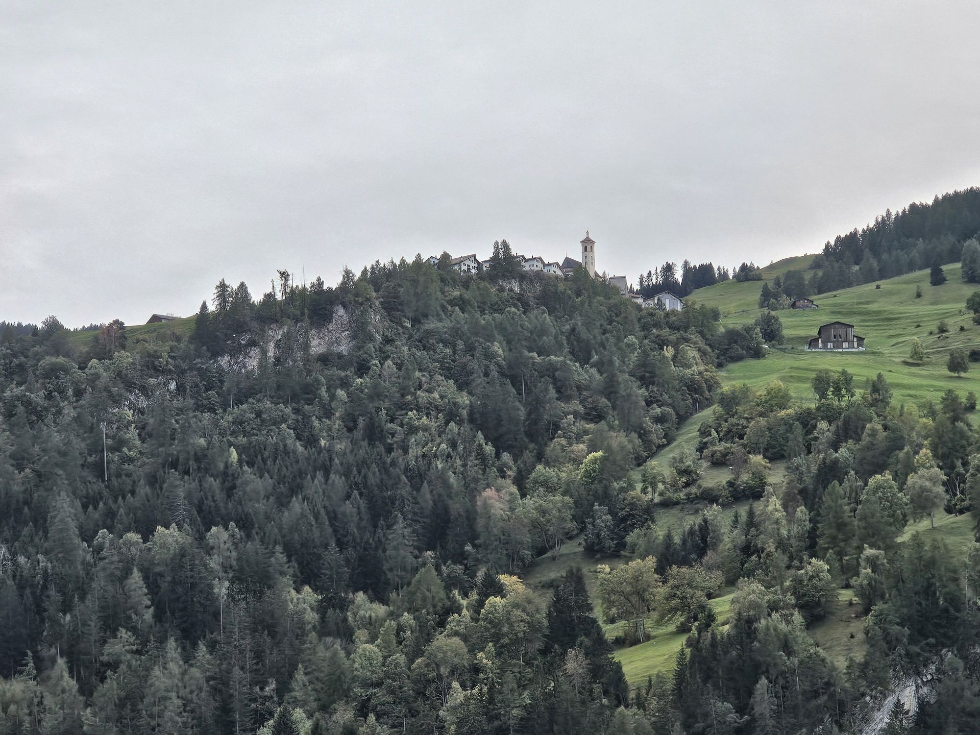
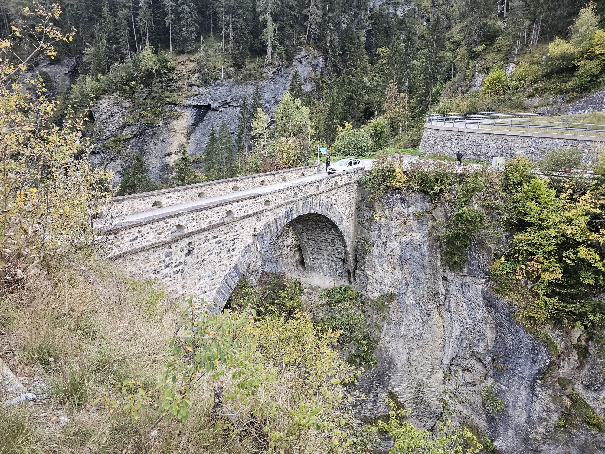
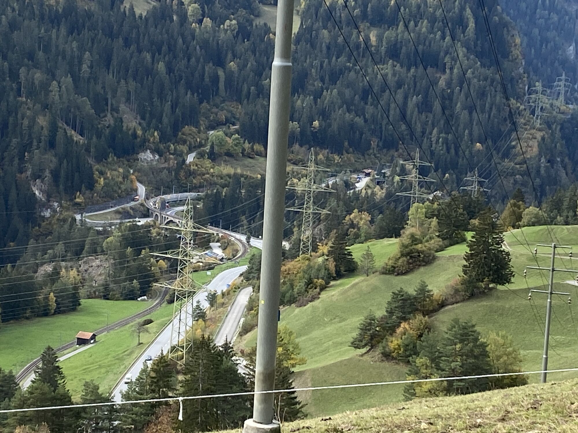
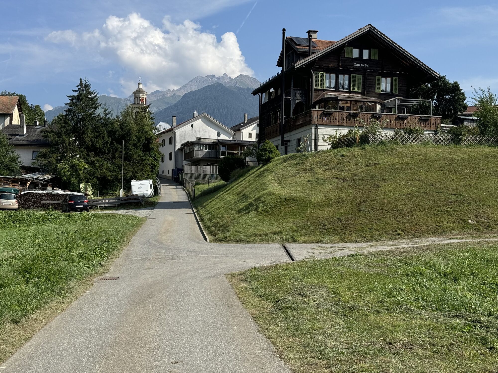
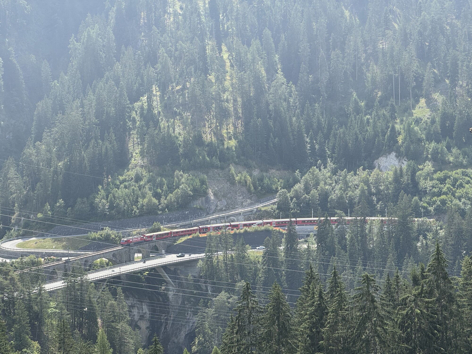
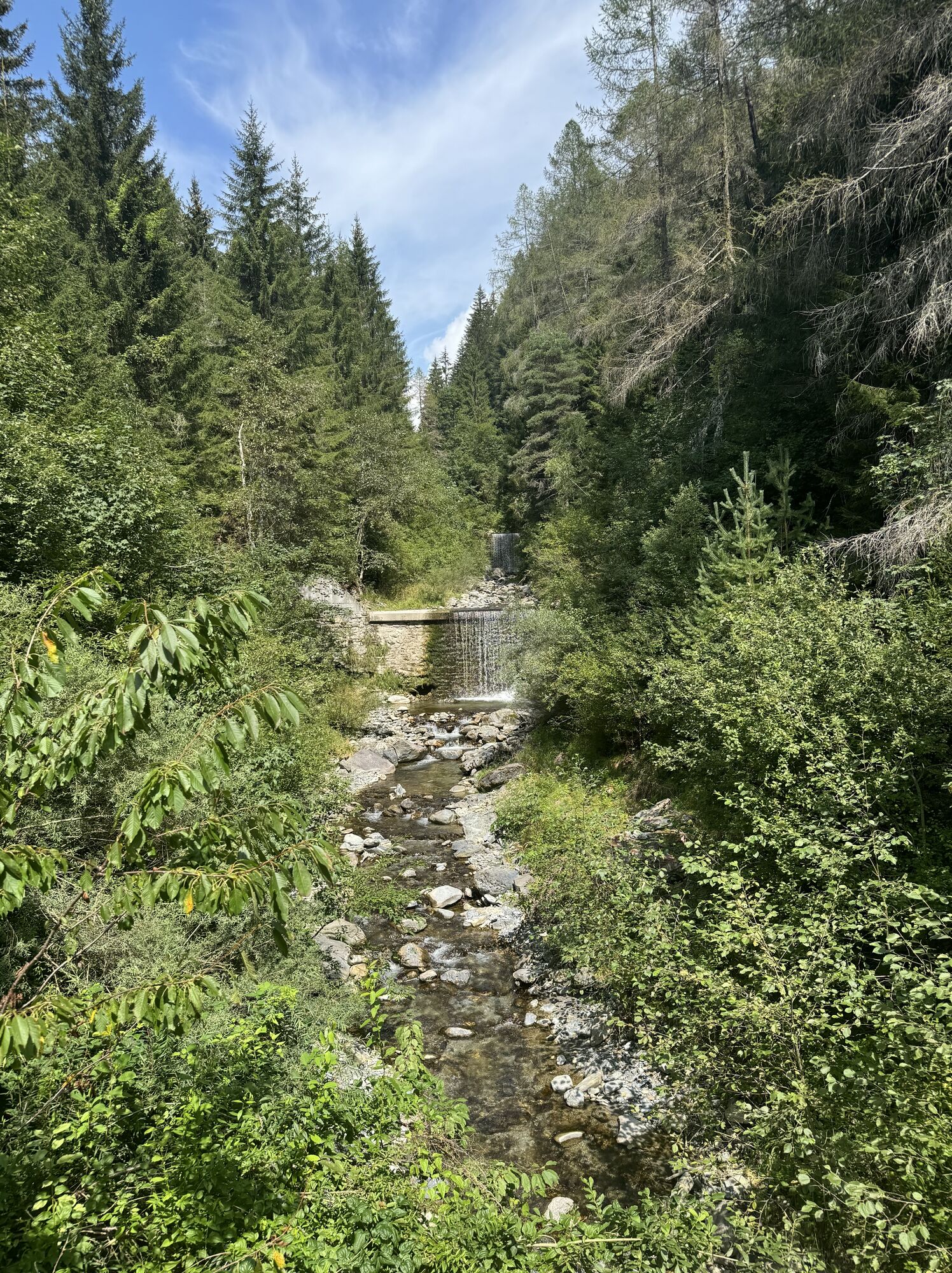
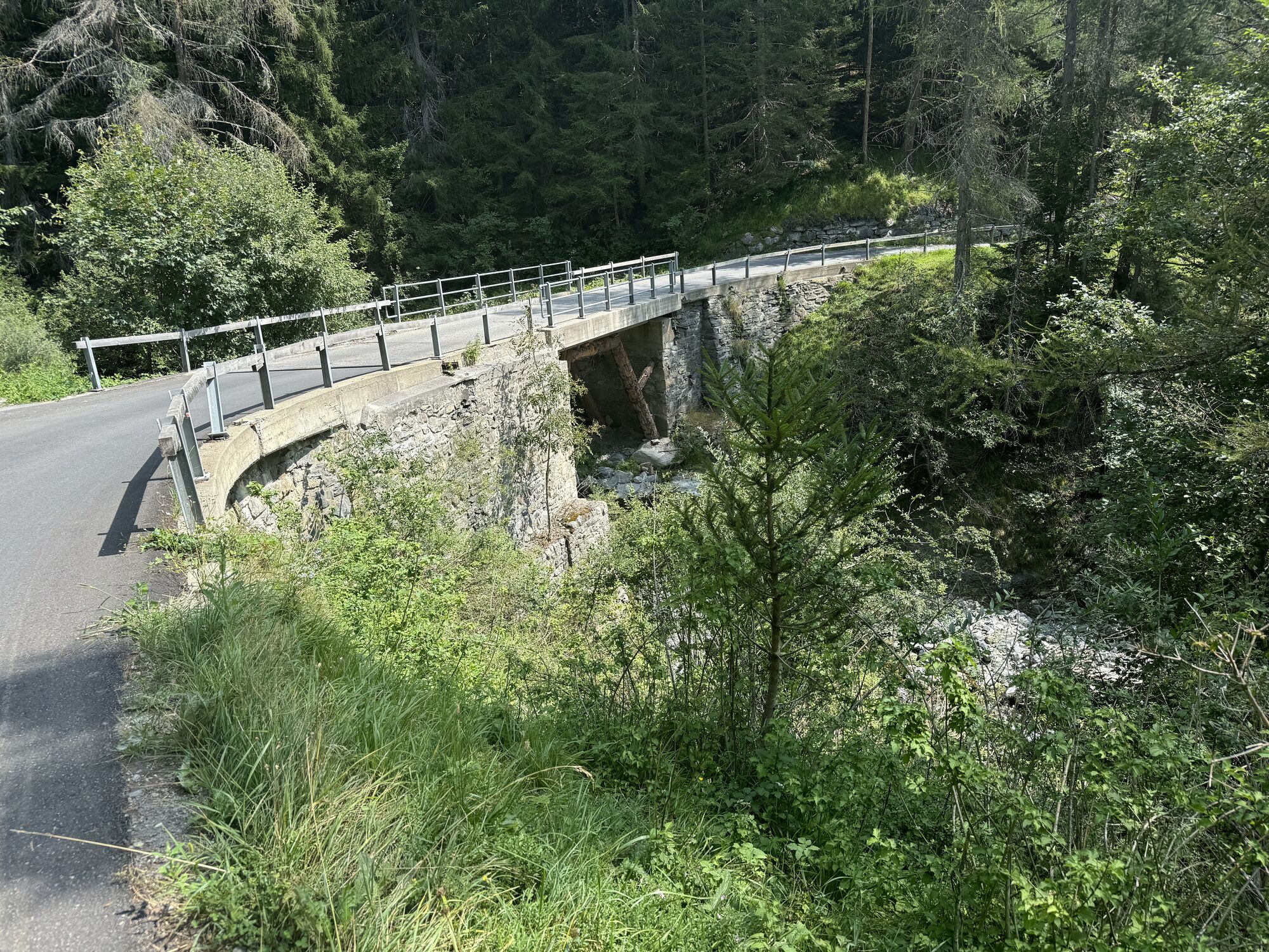
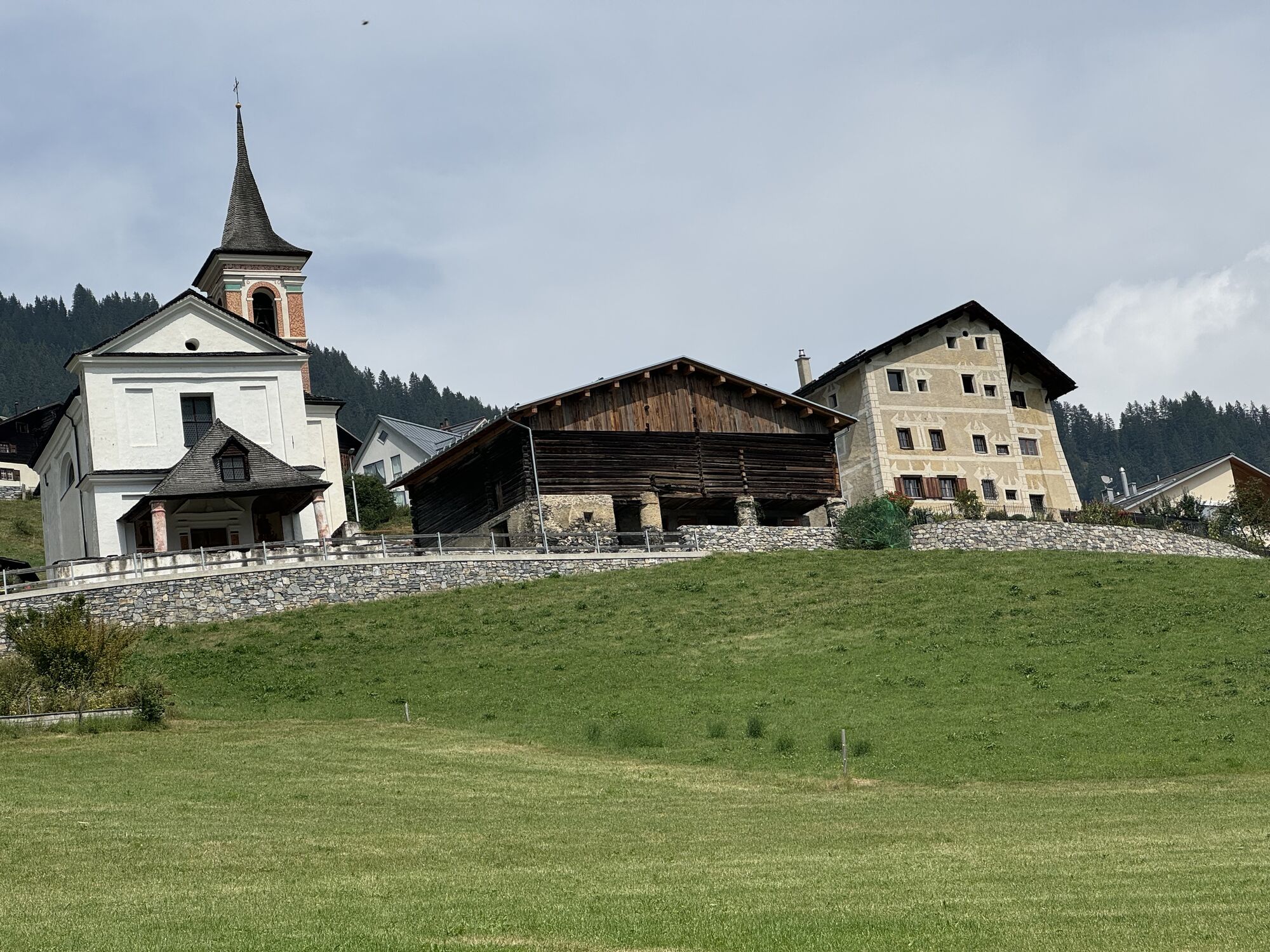
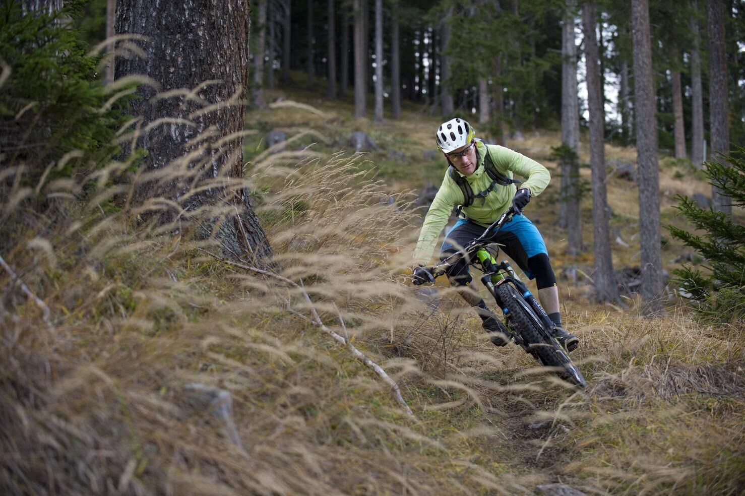
Remote mountain villages and barely used forest paths characterize this beautiful tour to Mutten and Stierva on the other side of the Albula valley. This medium-difficulty round can be mastered by any experienced biker in terms of physical condition and riding technique. From Lenzerheide the path leads along beautiful paths over Lain and Muldain to the Solis Bridge over the Albula Gorge. The old bridge is almost 80 m long and was built in 1868. After the bridge the ascent begins on the old asphalt road to the pretty Walser village of Mutten. Shortly before the village the road leads through a 1.3km long tunnel. Afterwards we drive on a beautiful hiking trail over to Stierva, where the long descent follows on one of the best trails in the area down to Tiefencastel. A tip for all gourmets: The Capuns in the restaurant Belavista in Stierva are well known far beyond the Albula valley. The return trip can either be undertaken by bike via Mistail, Alvaschein and Tschividains to Lenzerheide, or you can take the PostBus back to Lenzerheide in Tiefencastel.

Lenzerheide - Lain - Muldain - Solisbrücke - Solas - Mutten - Stierva - Tiefencastel - Mistail - Alvaschein - Tschividains - Lenzerheide
Tunnel passage in front of mothers, please ensure sufficient lighting.
From Milano - Lugano - San Bernadino tunnel - Thusis - Chur (exit Lenzerheide) - Lenzerheide.
Parking at Lenzerheide entrance or Rothornbahn valley station.
A tip for all gourmets: the capuns in the restaurant Belavista in Stierva are well known far beyond the Albula valley. (Reservation: +41 81 681 11 75).
Kamery internetowe z trasy
Popularne wycieczki w okolicy
Arosa-Schwellisee-Älplisee-Parpaner Rothorn
Wędrówka 12,3 km- 4,7
Arosa-Hörnli-Parpaner Rothorn-Lenzerheide
Wędrówka 11,9 km - 5,0
Arosa-Hörnli-Urdenfürrgli-Alp Scharmoin-Lenzerheide
średniWędrówka 15,3 km - 4,5
749 Val Meltger suspension bridge trail
średniWędrówka 8,30 km - 5,0
Arosa-Erzhornsattel-Arosa
Wędrówka 14,9 km - 2,0
Arosa-Furclettapass-Alvaneu
Wędrówka 21,8 km 745 Family Trail Lenzerheide
światłoWędrówka 9,36 km- 5,0
4-Viaduct hike
średniWędrówka 13,6 km Prätschli-Carmennahütte
Mountainbike 6,36 km- 5,0
Lake round
światłoTrailrunning 4,48 km
Wędrówki i tropienie


Nie przegap ofert i inspiracji na następne wakacje
Twój adres e-mail została dodana do listy mailingowej.