


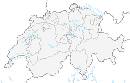


Piz Nair - Val Bever - Celerina

Poziom trudności: S2
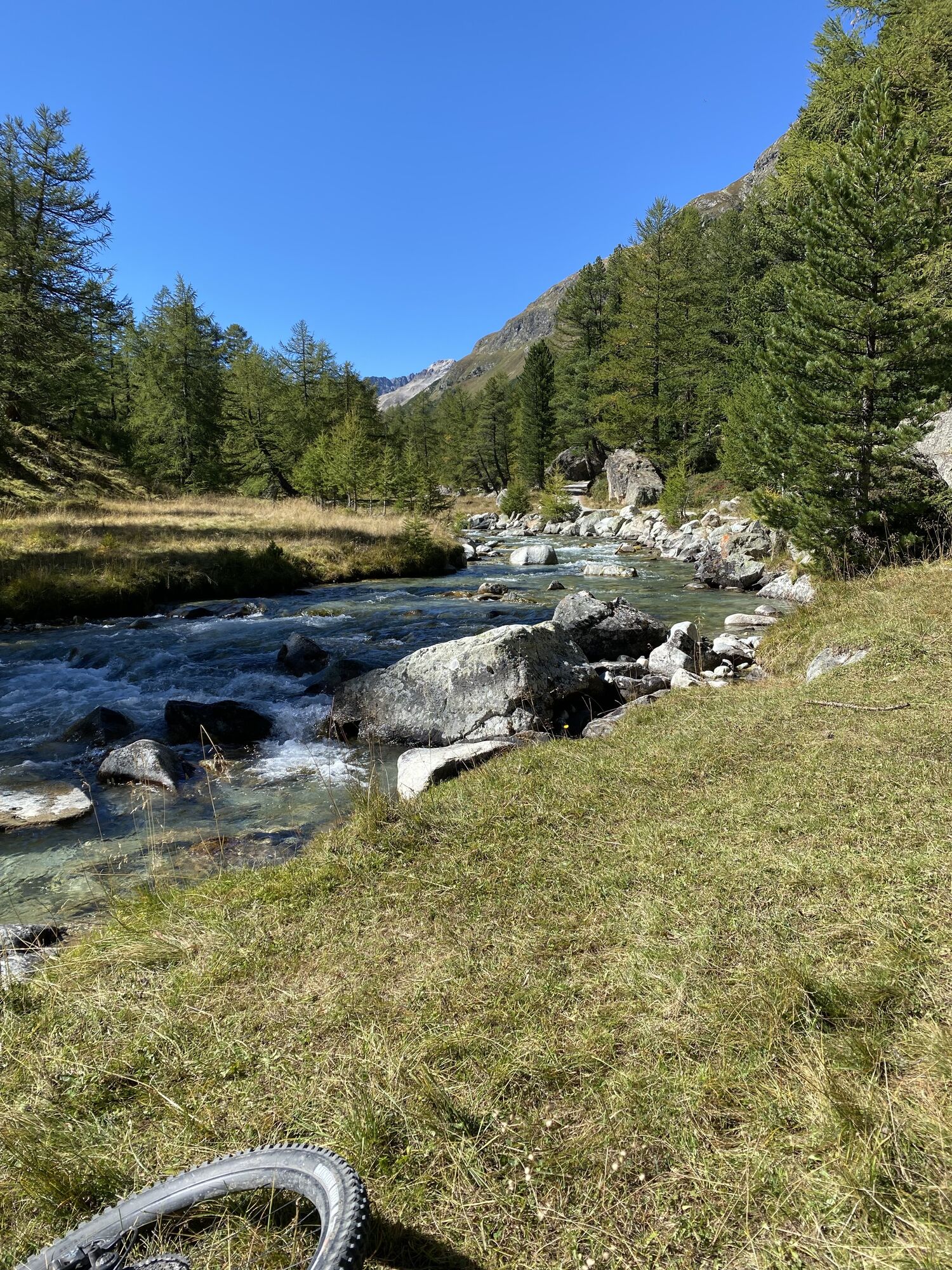
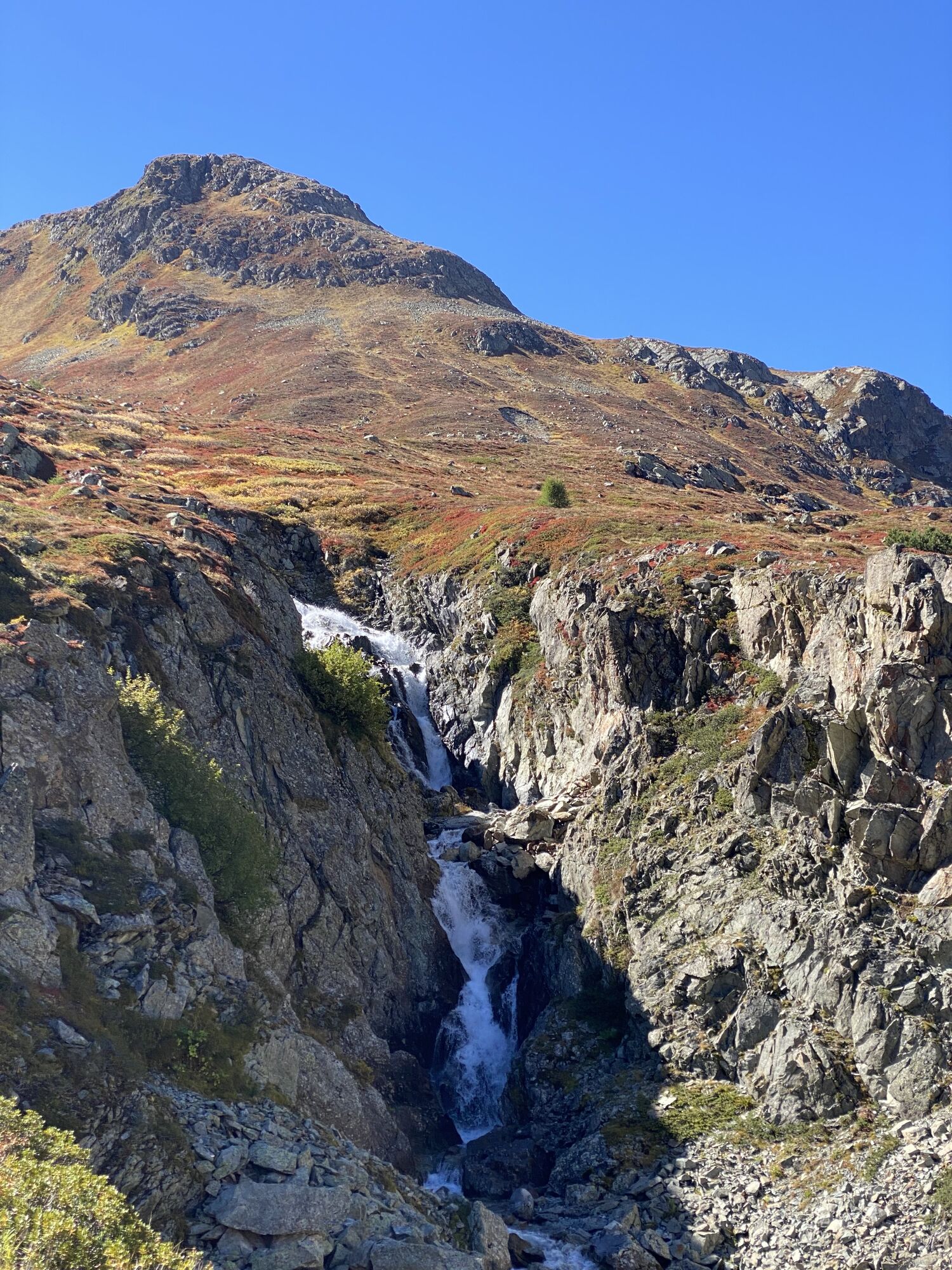
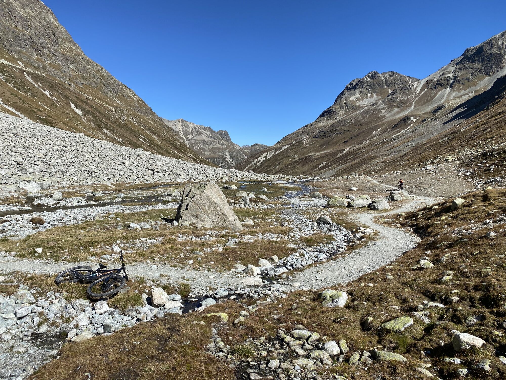
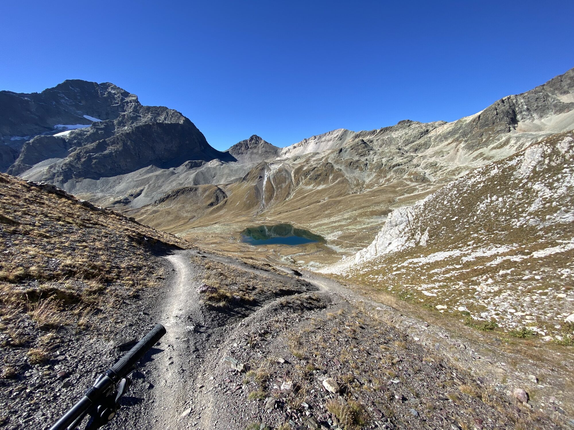
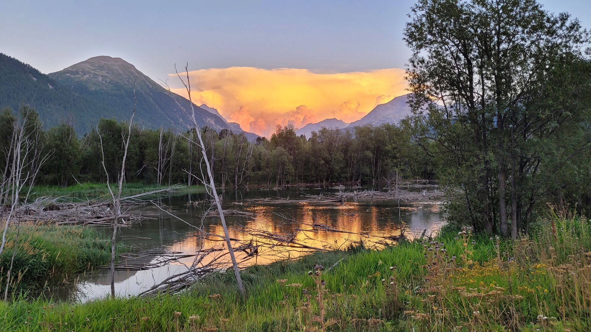
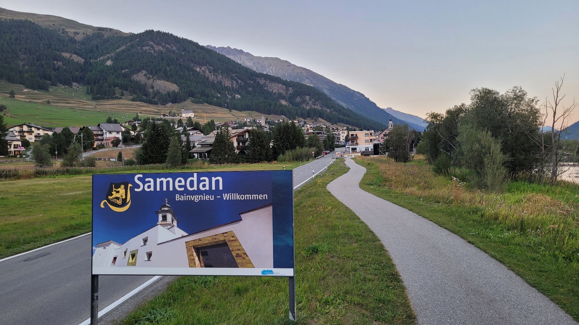
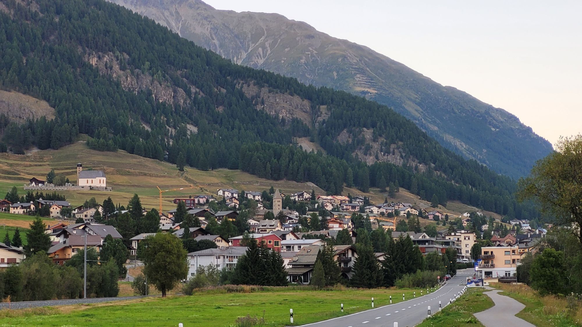
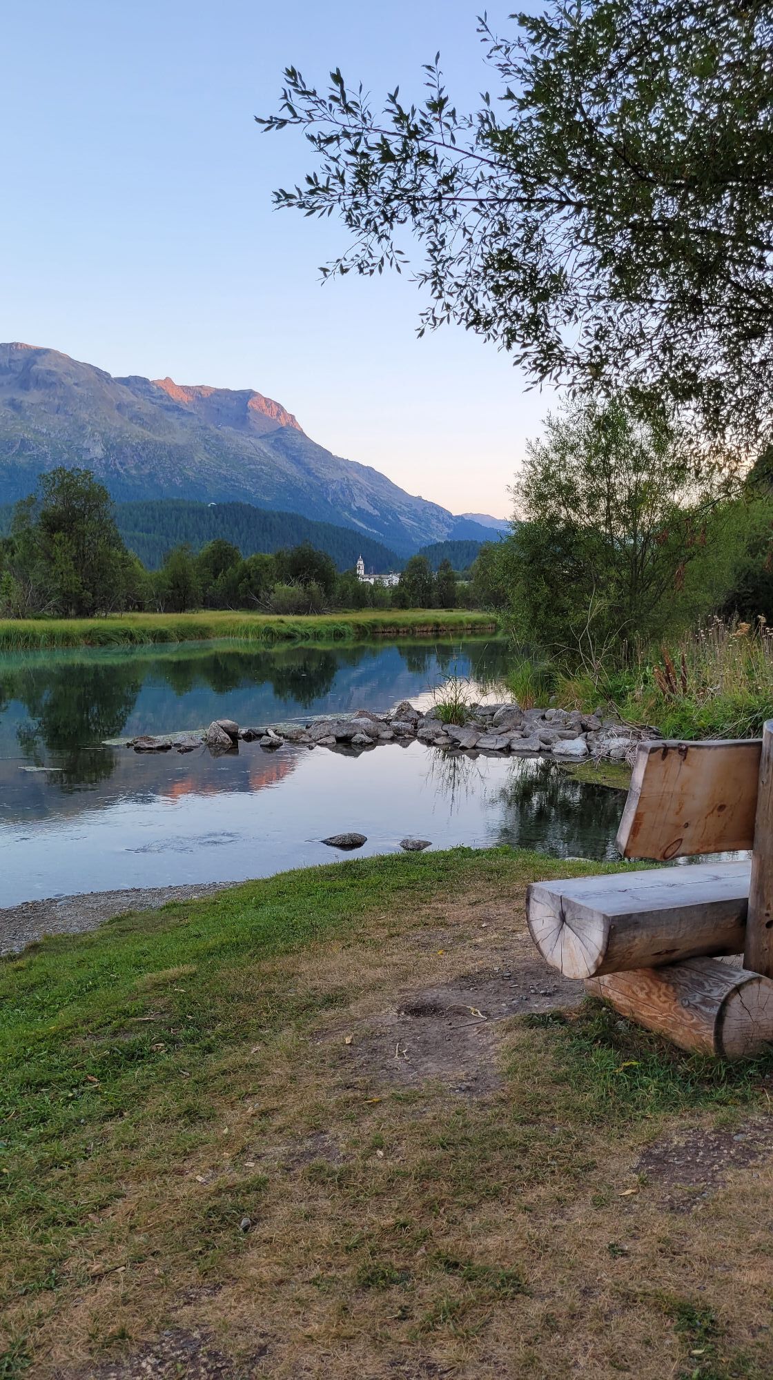
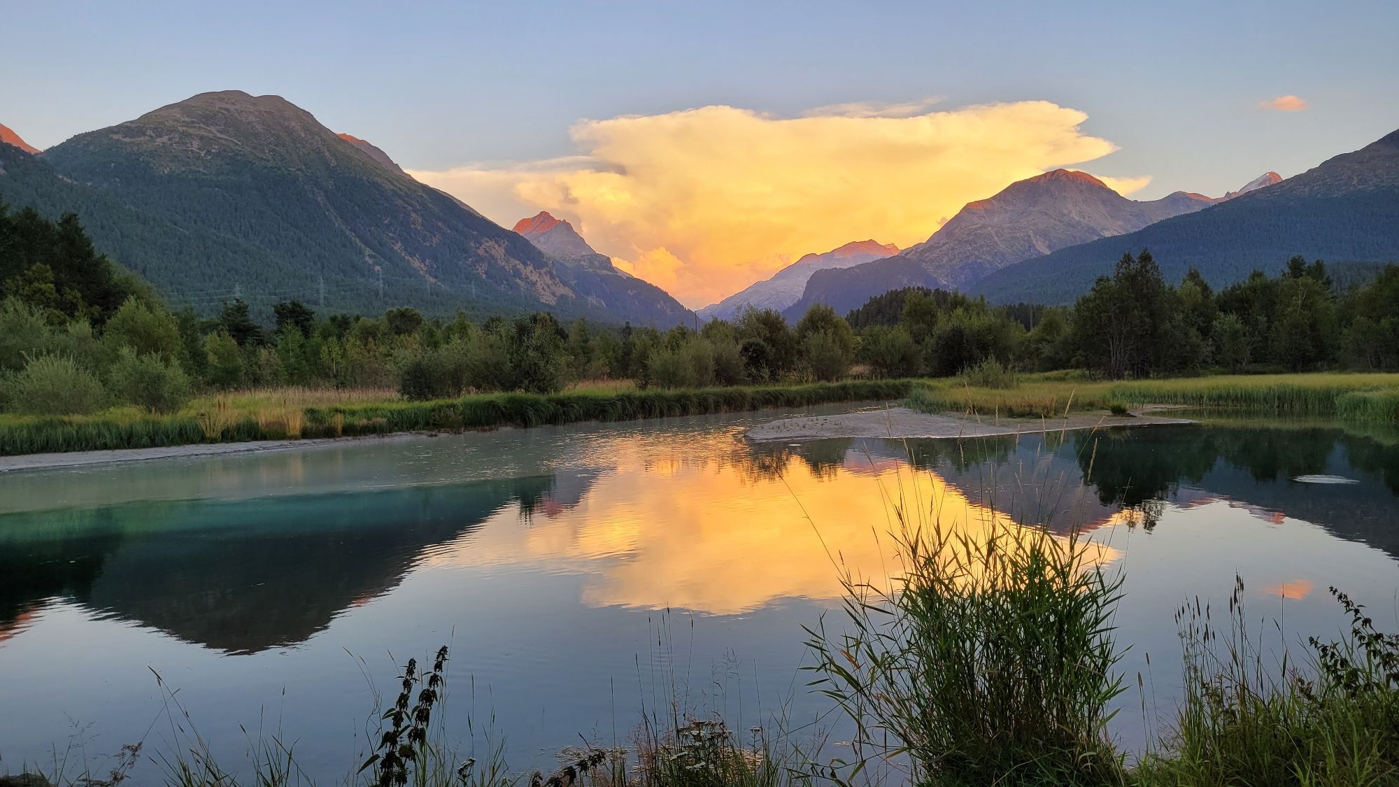
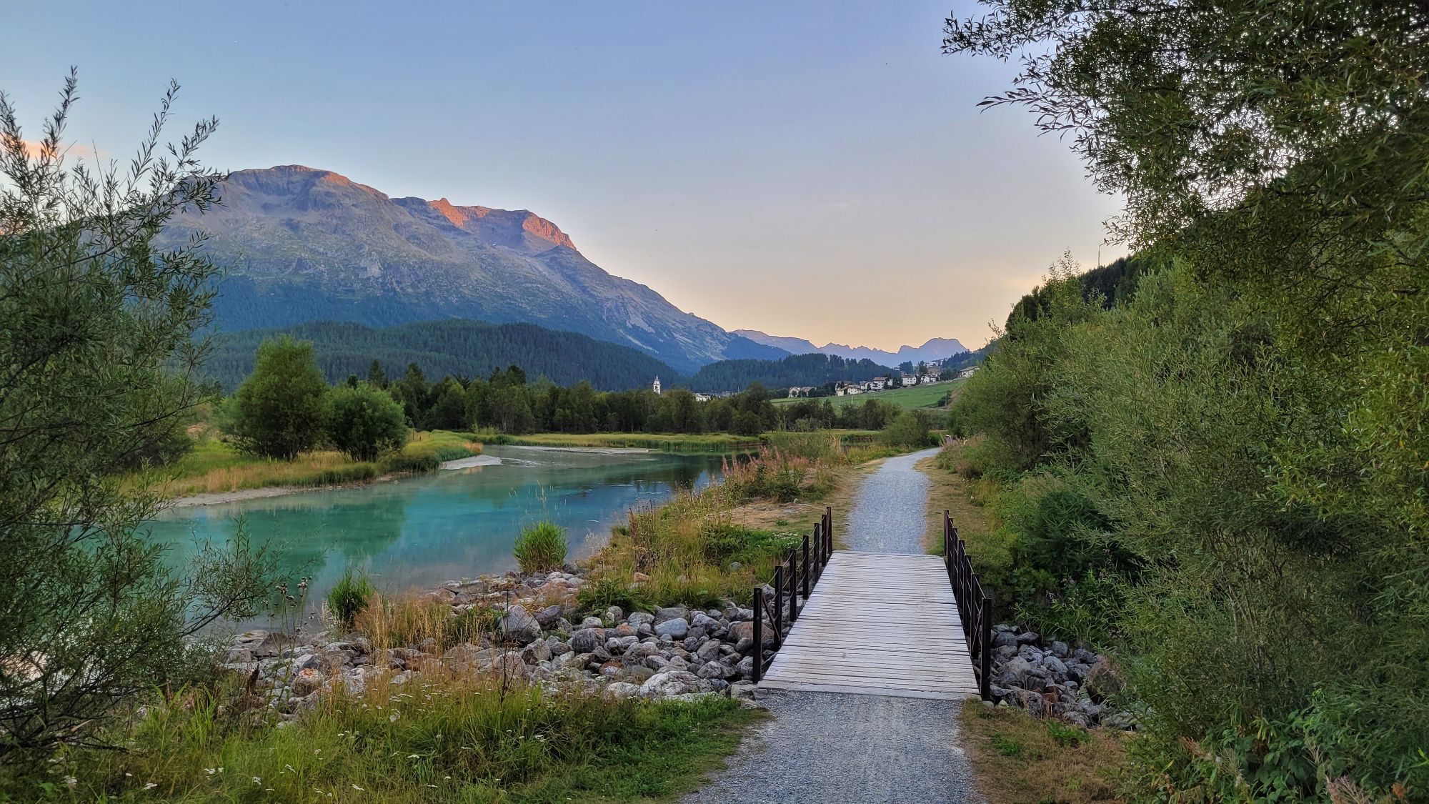
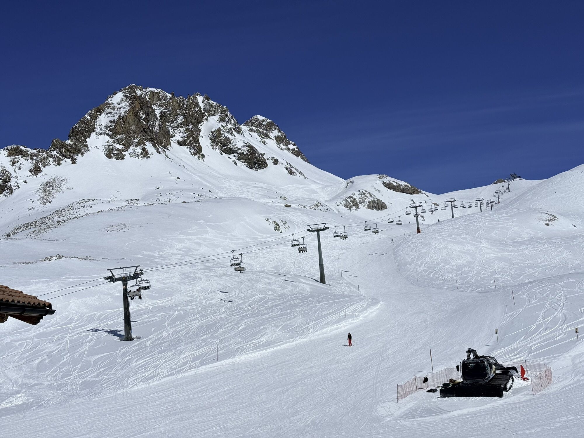


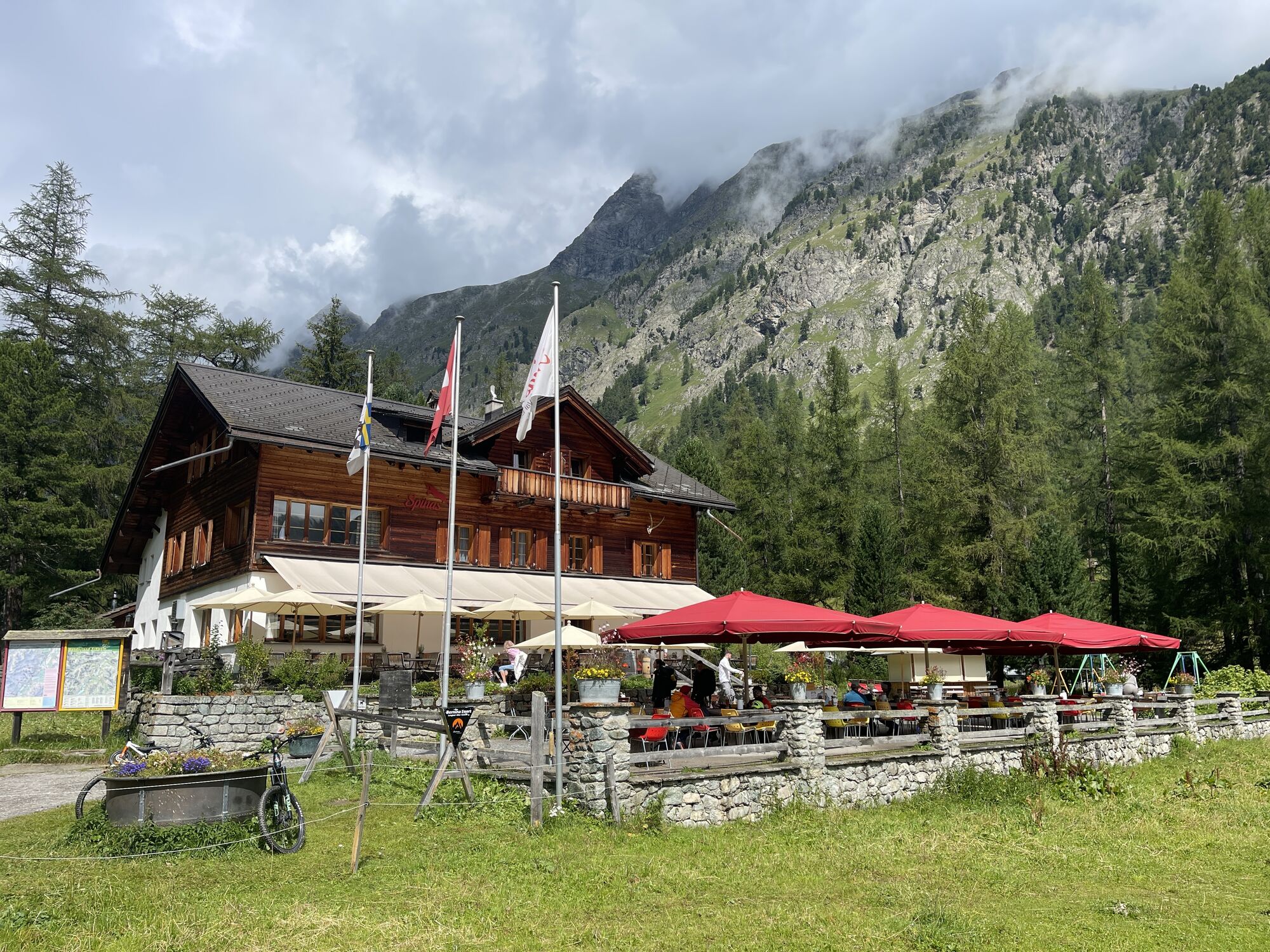
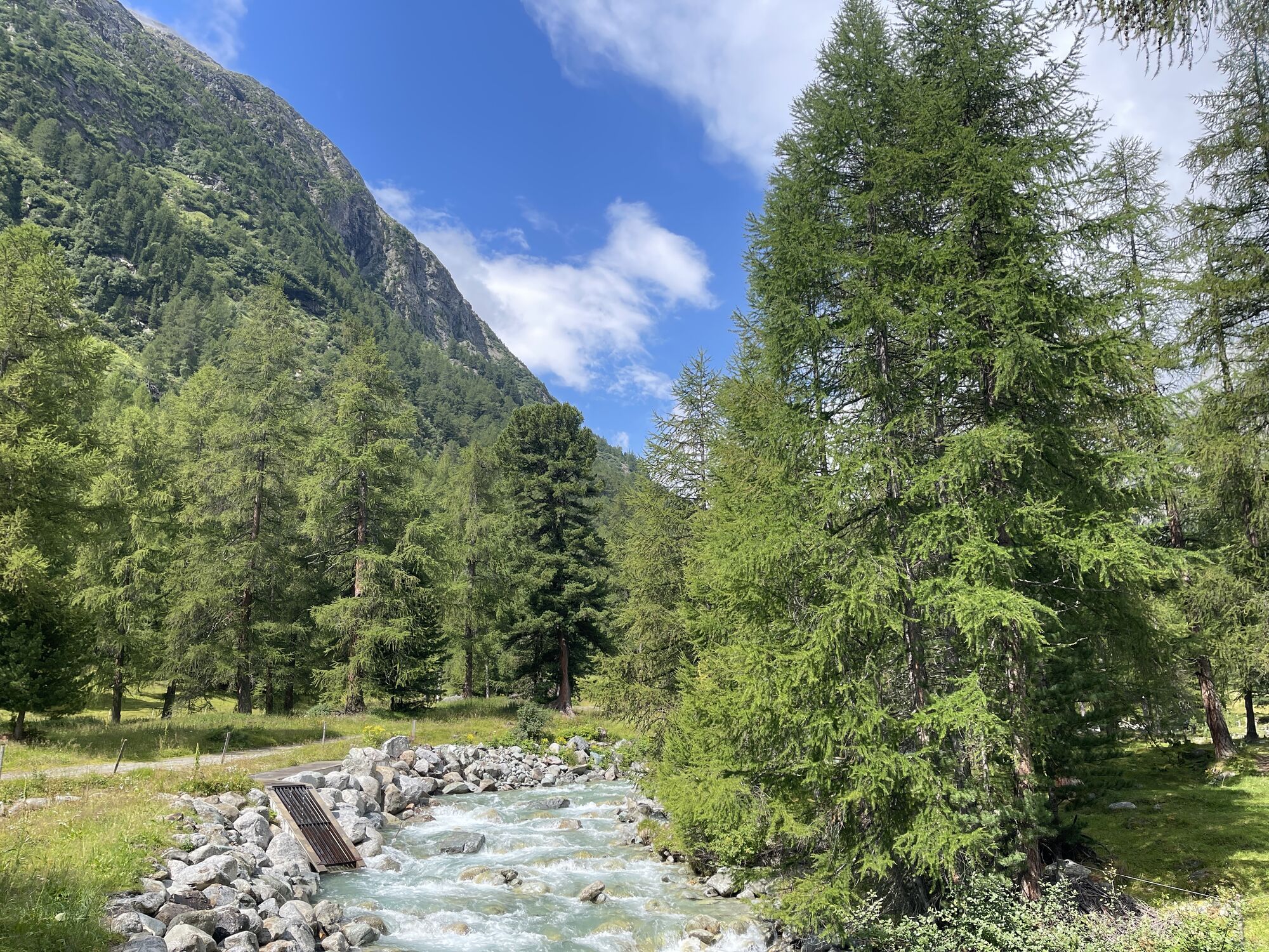
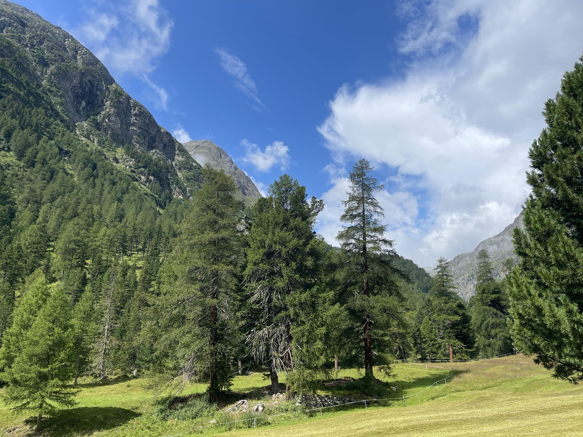


Comfortably by cable car from Celerina or St. Moritz up to Piz Nair, the local mountain of St. Moritz at 3059 meters above sea level. A short break in the Panorama Restaurant is worth it not only because...
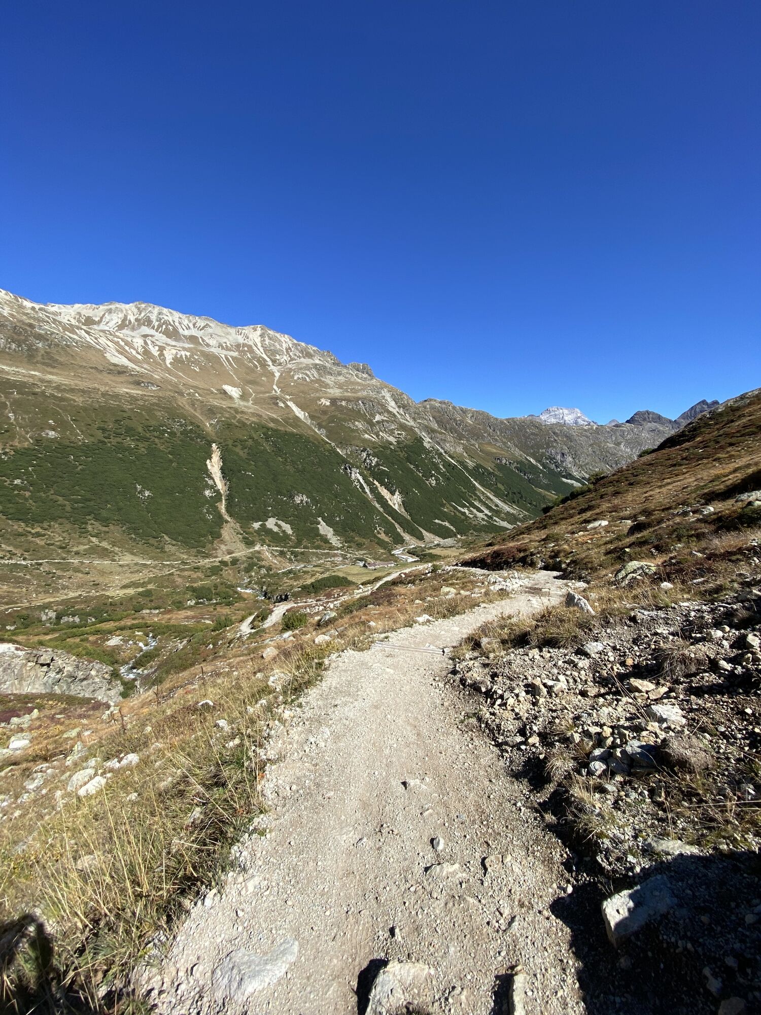
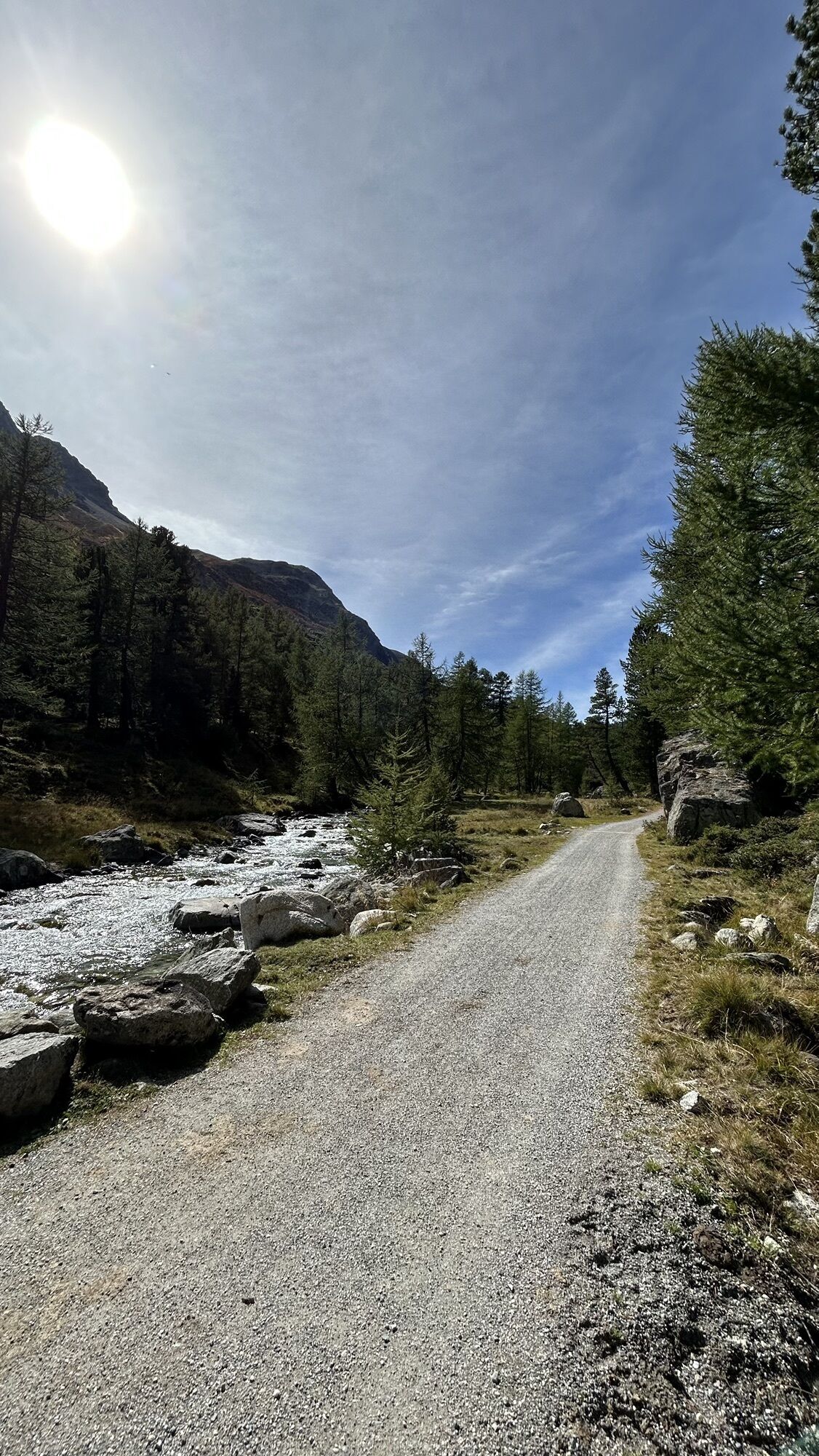
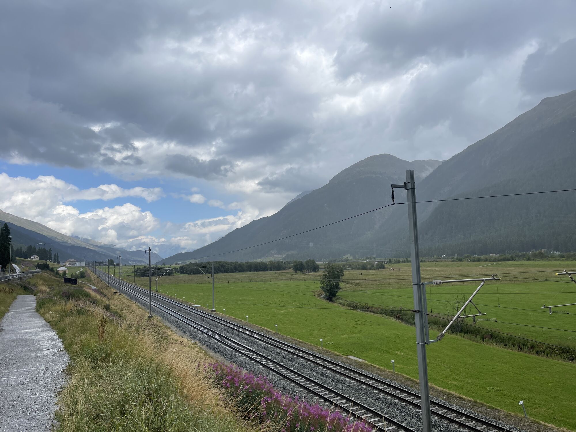
Here begins the flowing trail that winds down for nearly six kilometers through this magnificent high mountain basin of Val Suvretta. In Val Bever, the path flows into a well-maintained gravel road, whose waves also provide great fun. The Spinas Restaurant is the ideal chill-out spot before continuing on the gravel road to Bever and back along the main road to Celerina.
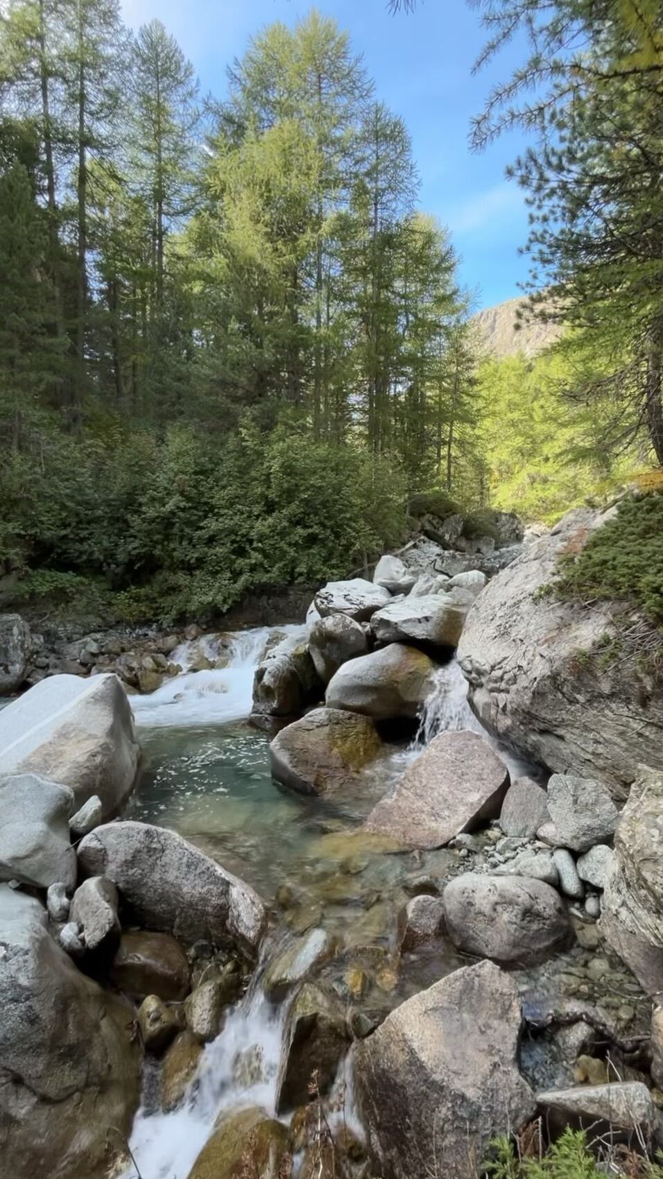
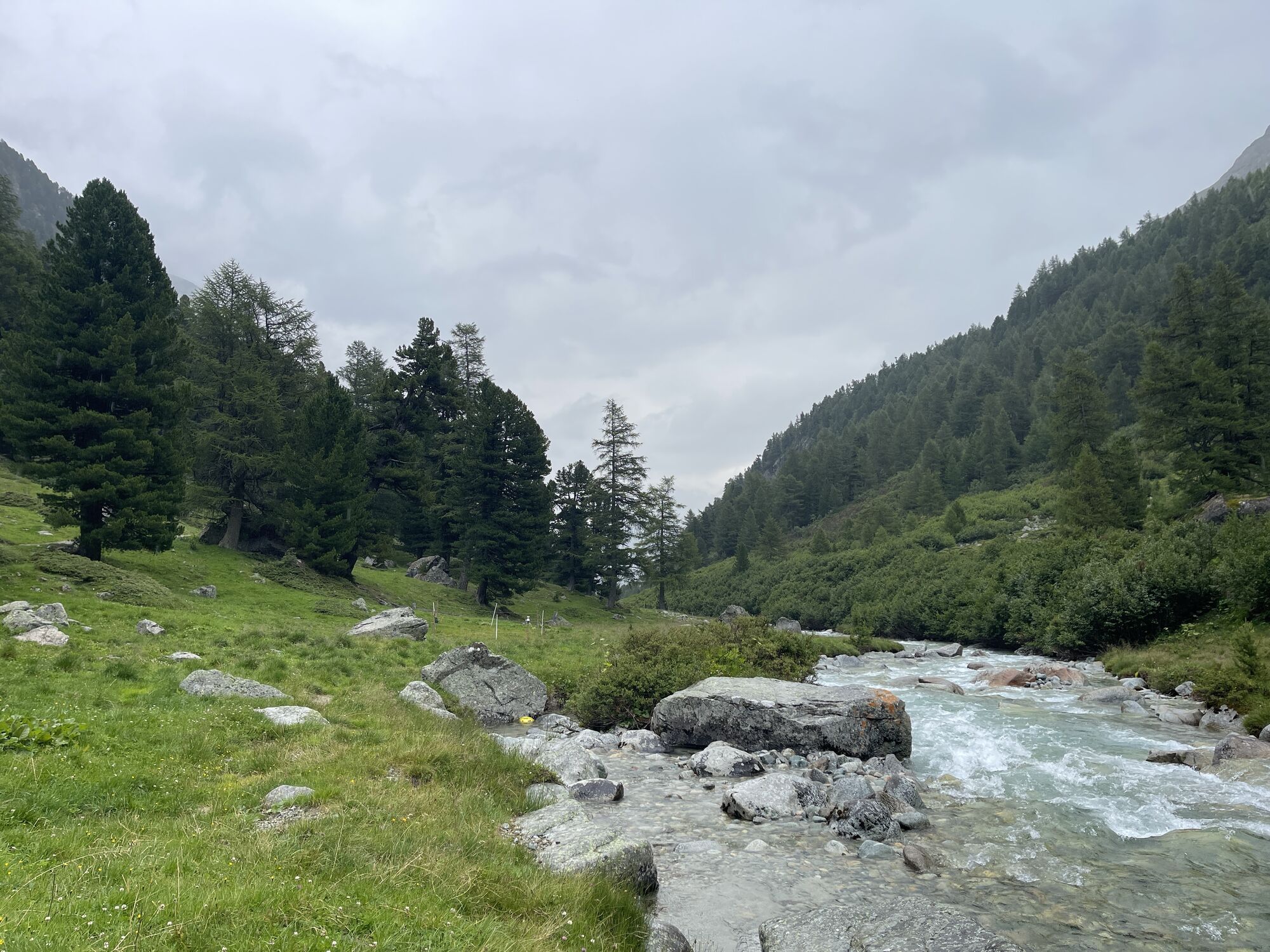
If you still haven't had enough, we recommend the rear Val Bever, where the landscape and especially the Beverin river can be seen in its wild, unspoilt state. Against this backdrop, it has been awarded the ‘Gewässerperle PLUS’ label since summer 2021.
Gewässerperle PLUS – a natural gem of national importance
The Beverin is the first river in Switzerland to be awarded the ‘Gewässerperle PLUS’ label. The 13.5-kilometre-long mountain stream received this special honour because it has remained largely untouched by humans – a true wild stream without artificial corrections. From its source near Piz d'Err to just before Bever, the Beverin meanders freely through the picturesque Val Bever, surrounded by valuable fens and floodplain landscapes. This unspoilt mountain water world provides an ideal habitat for many rare animal and plant species, including otters, brown trout, stoneflies and numerous willow species. The label recognises not only the ecological value of the Beverin, but also the commitment of the municipality of Bever to preserving this unique natural paradise.
HOME OF TRAILS
By the way, Danny MacAskill and Claudio Caluori start their road trip through Graubünden at Piz Nair. To see in the video "Home of Trails".
Discover Piz Nair
More Information
Engadin St. Moritz Tourismus AG
Via Maistra 1
CH-7500 St. Moritz
Phone: +41 81 830 00 01
E-mail: allegra@engadin.ch
Website: www.engadin.ch



Piz Nair - Suvrettapass - Spinas - Bever - Celerina
Tak
The route leads through high alpine terrain in the upper part. This section should not be ridden in snow and dense fog. Warm clothing, rain protection, and gloves are always part of the basic equipment. Never ride alone!
Between Suvrettapass and Spinas there is no mobile phone reception.
S2
The last section down into Val Bever requires skill and dexterity.
Kamery internetowe z trasy
-
Corviglia
-
St. Moritz / Samedan - Muottas Muragl
-
Samedo - Engadin Golf
-
St. Moritz / Samedan - Muottas Muragl
-
St. Moritz / Samedan - Muottas Muragl
-
St. Moritz / Samedan - Muottas Muragl
-
St. Moritz / Samedan - Muottas Muragl
-
Corviglia
-
Corviglia
-
Corviglia
-
Corviglia
-
Corviglia
-
Corviglia
-
Corviglia
-
Celerina - Cresta Palace
-
Piz Nair - St. Moritz
-
St. Moritz / Trais Fluors Bergstation
-
La Punt - Wasserreservoir
-
La Punt - Wasserreservoir
-
La Punt - Wasserreservoir
-
La Punt - Wasserreservoir
-
St. Moritz - Berghotel Randolins
-
Samedan - Engadin Airport
-
Preda - Albulatunnel
-
Piz Nair Bergstation
-
Piz Nair Bergstation
-
Piz Nair Bergstation
-
Piz Nair Bergstation
-
Piz Nair Bergstation
-
Piz Nair Bergstation
-
Piz Nair Bergstation
-
Piz Nair Bergstation
-
Trais Fluors Bergstation
-
Trais Fluors Bergstation
-
Trais Fluors Bergstation
-
Trais Fluors Bergstation
-
Trais Fluors Bergstation
-
Trais Fluors Bergstation
-
Trais Fluors Bergstation
-
Trais Fluors Bergstation

Popularne wycieczki w okolicy
-
4,8
Panoramic route Muottas Muragl
światłoWędrówka 6,75 km -
5,0
Muottas Muragl - Segantini hut - Pontresina
średniWędrówka 6,46 km -
4,5
Pontresina - Val Roseg - Pontresina
światłoWędrówka 13,8 km -
4,8
Alp Languard - Segantini Hut - Muottas Muragl
średniTrailrunning 6,45 km -
4,8
Around Lake St. Moritz
światłoWędrówka 4,32 km -
Muottas Muragl - Segantini Hütte - Pontresina
średniWędrówka 17,5 km -
5,0
Lej Muragl
średniWędrówka 7,39 km -
4,5
Sils - Lej da la Tscheppa - Sils
średniWędrówka 11,4 km -
4,8
Corvatsch Murtèl - Fuorcla Surlej
średniWędrówka 4,52 km -
5,0
Alp Languard - Paradis Hut - Pontresina
światłoWędrówka 7,05 km
Wędrówki i tropienie


Nie przegap ofert i inspiracji na następne wakacje
Twój adres e-mail została dodana do listy mailingowej.


