







Maloja - Zuoz
Poziom trudności: S1
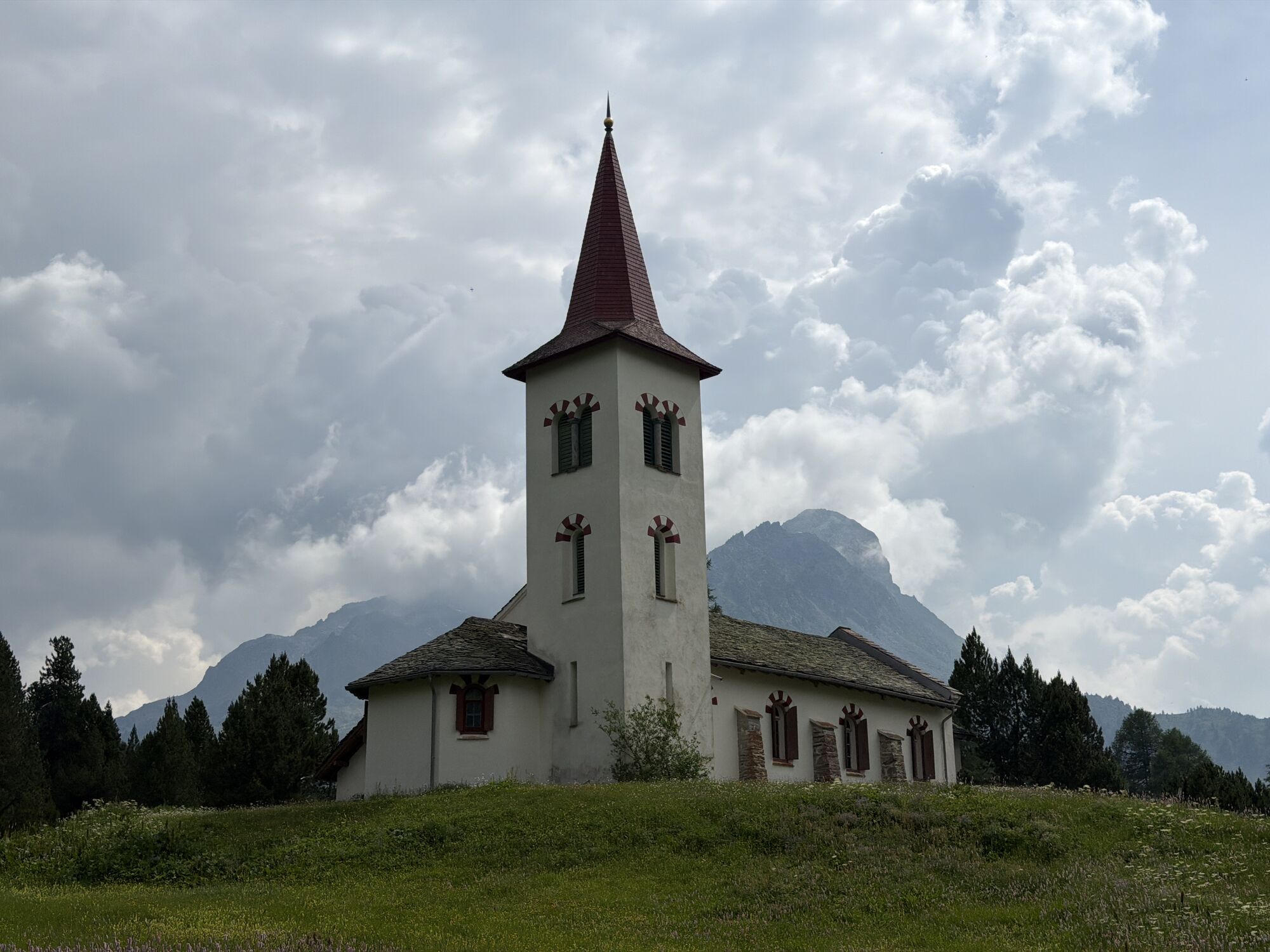
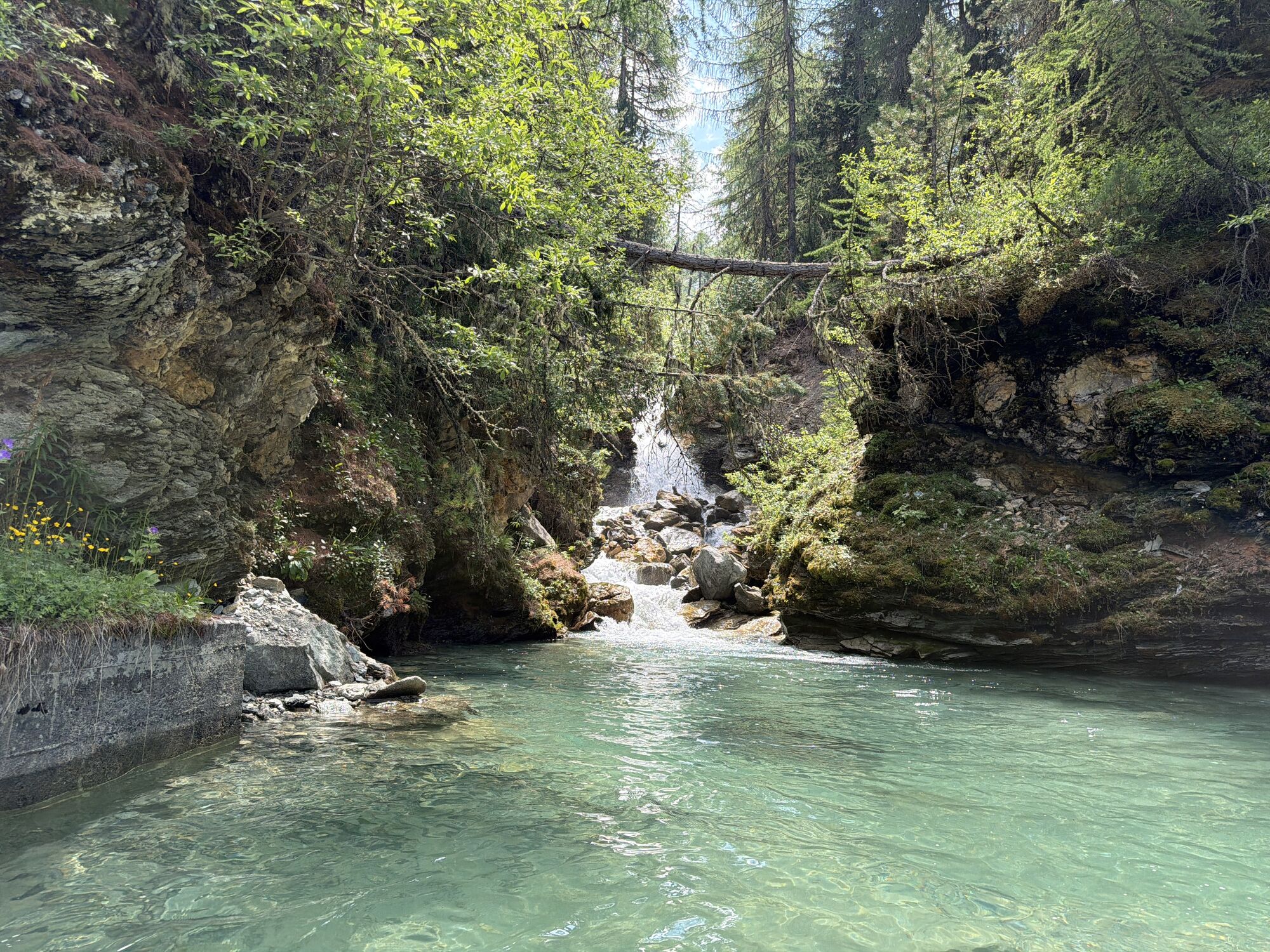
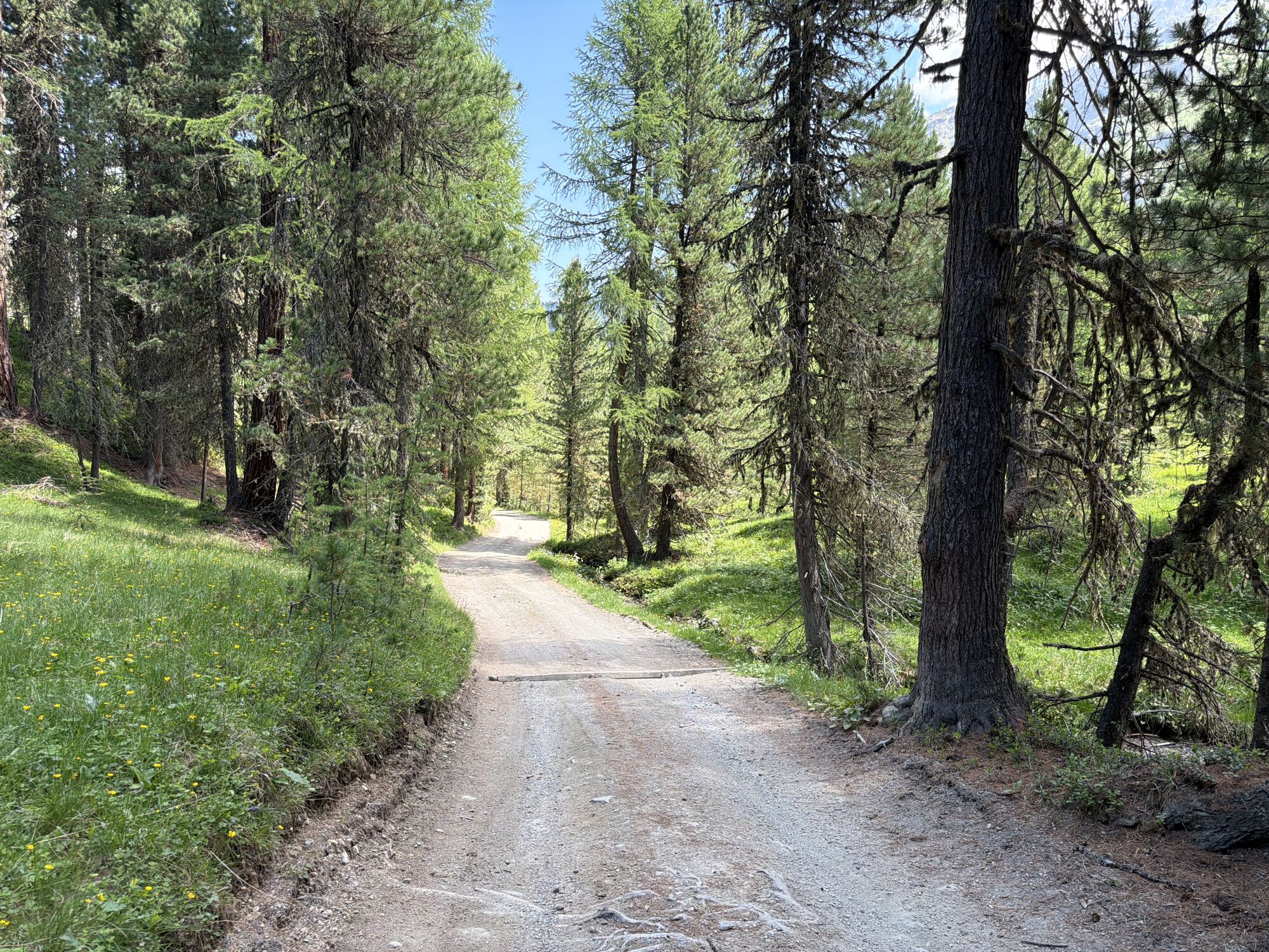
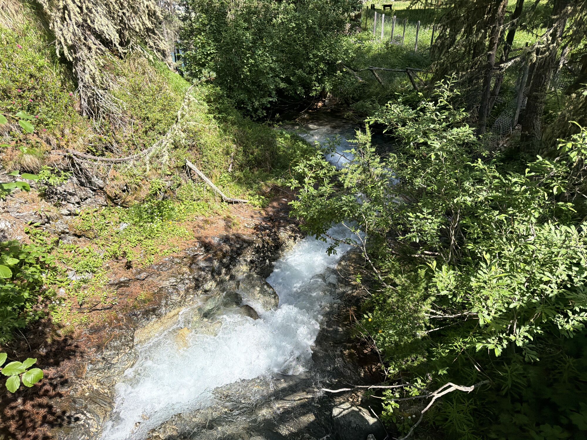
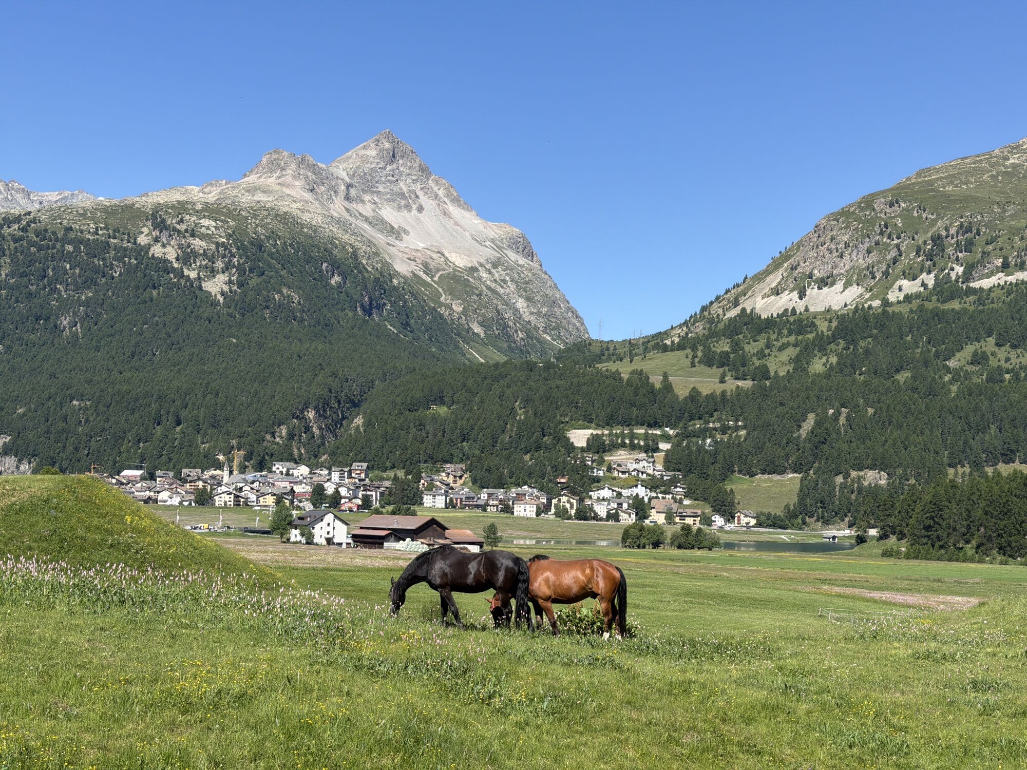
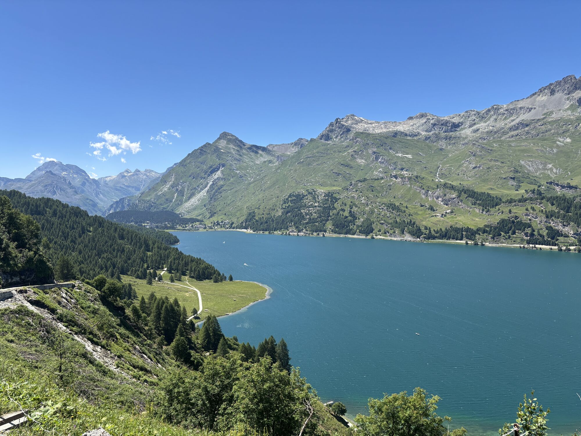
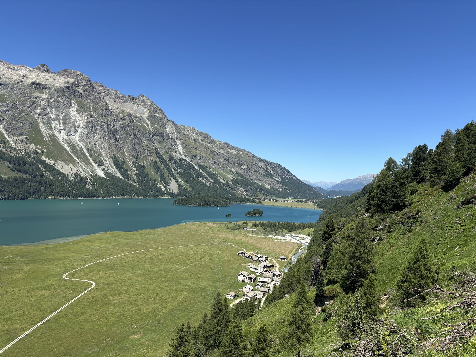
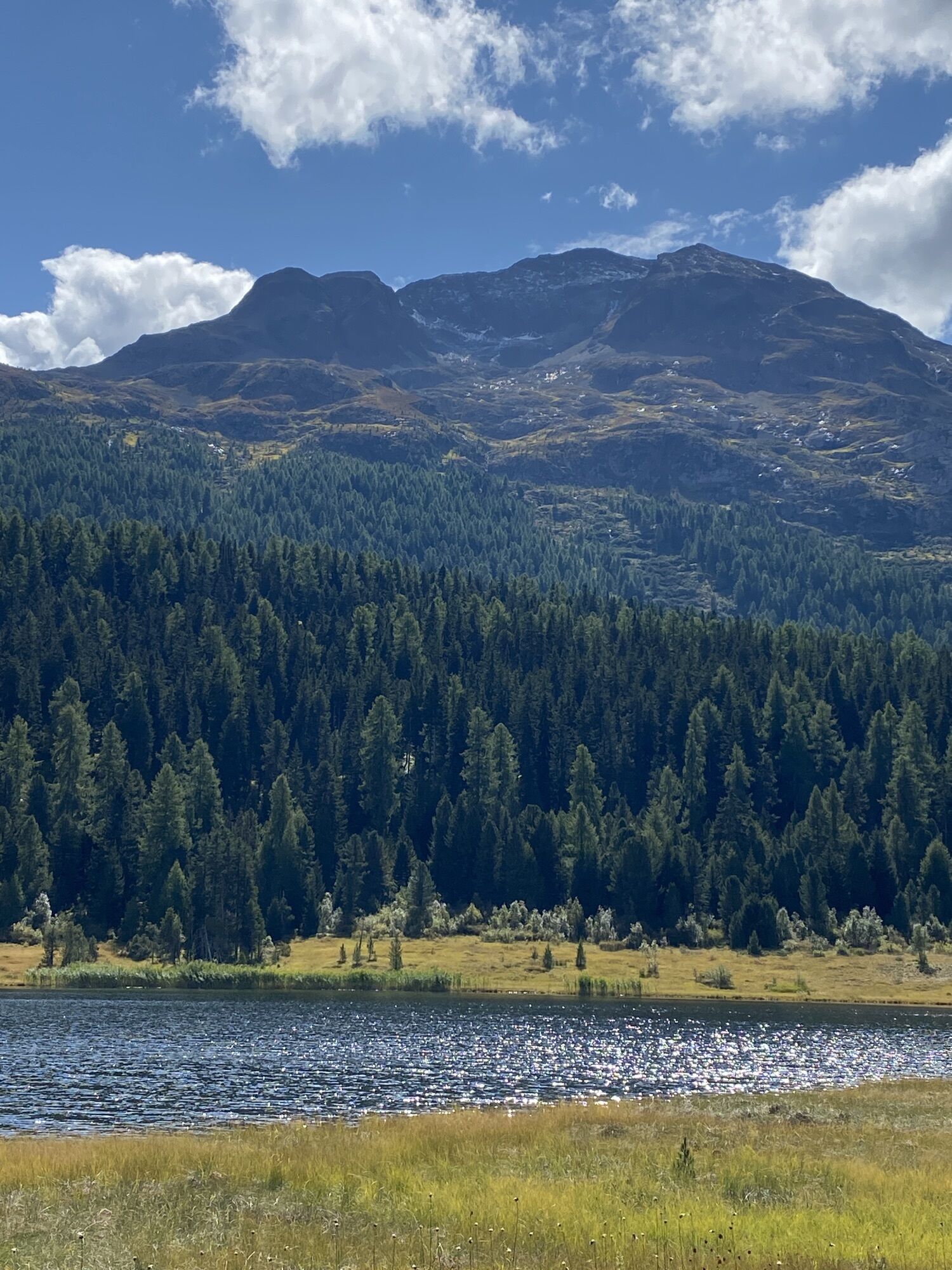
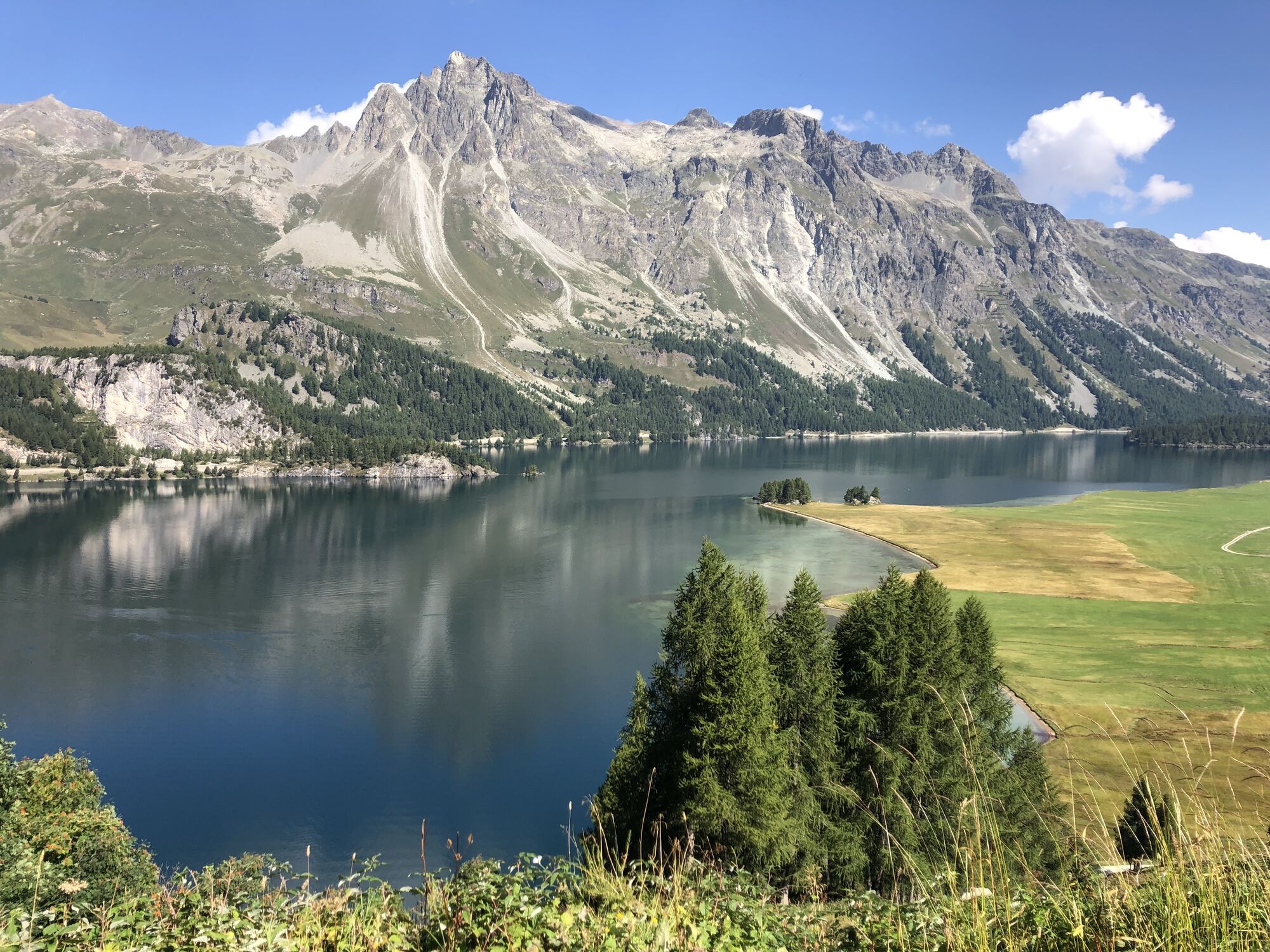

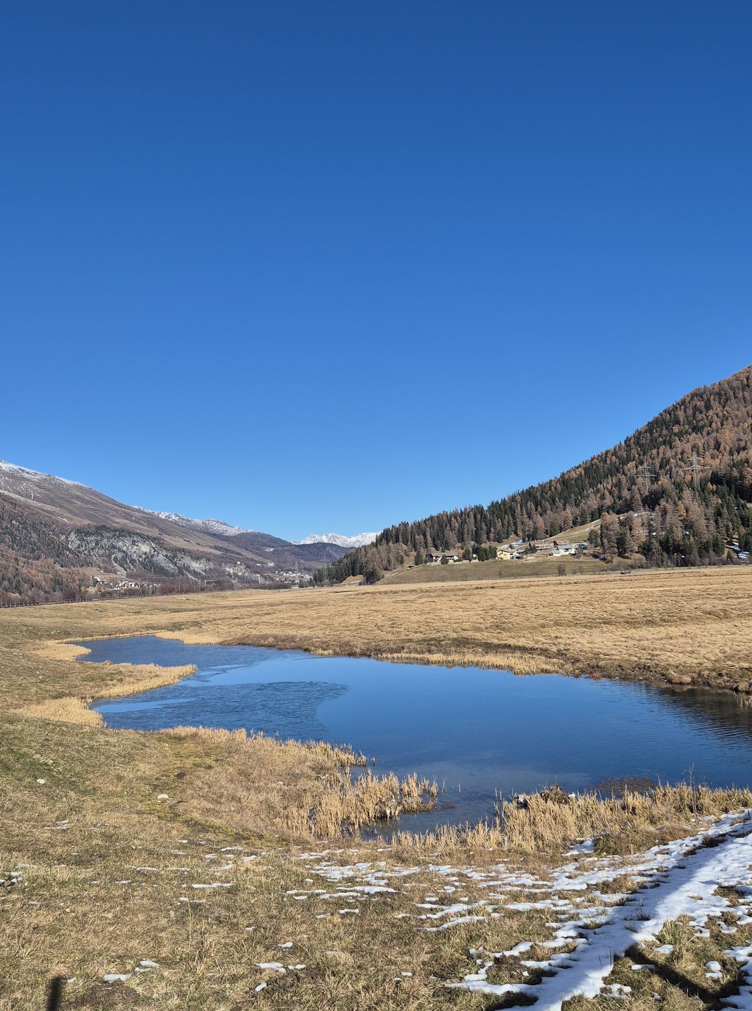
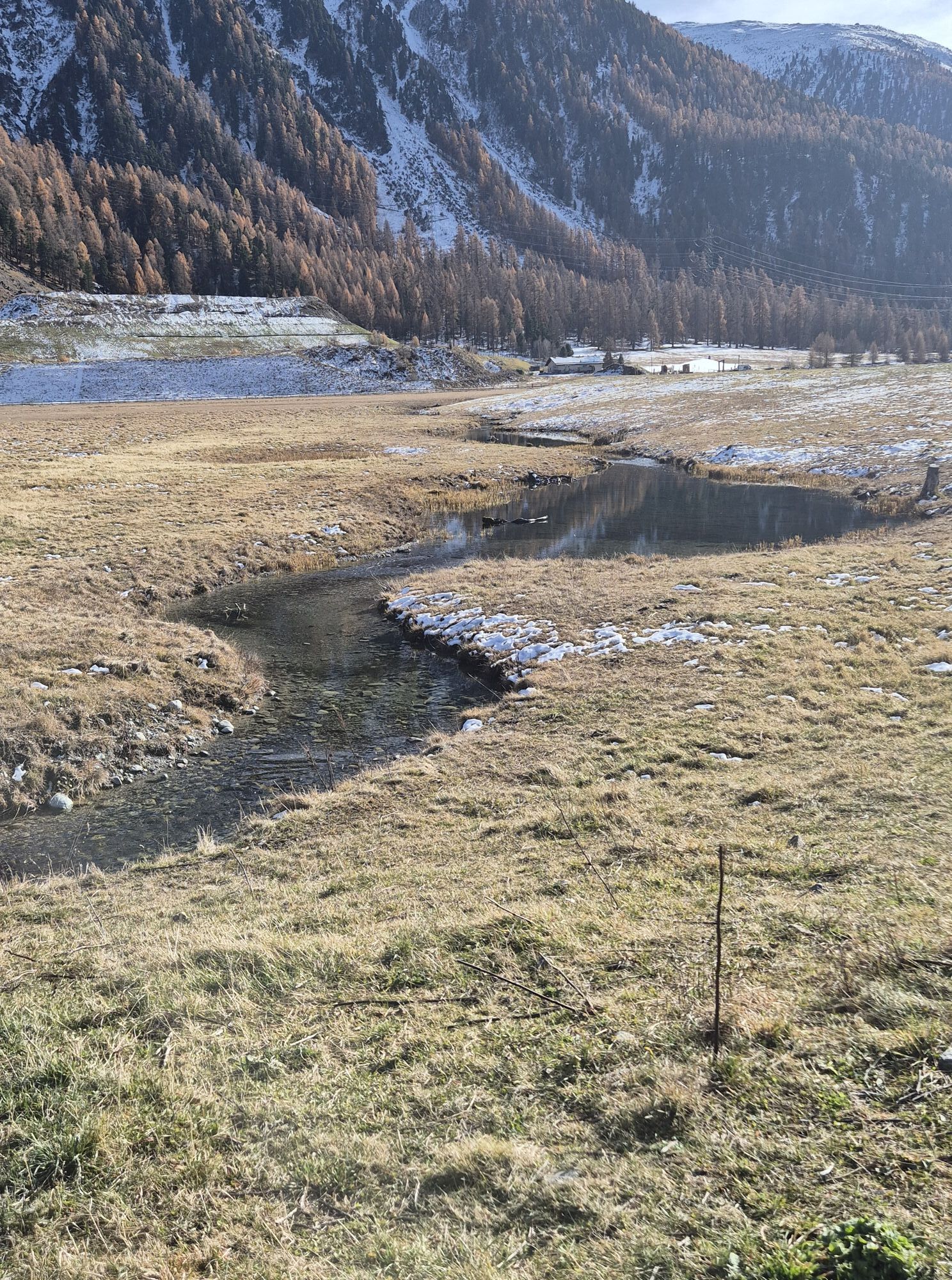
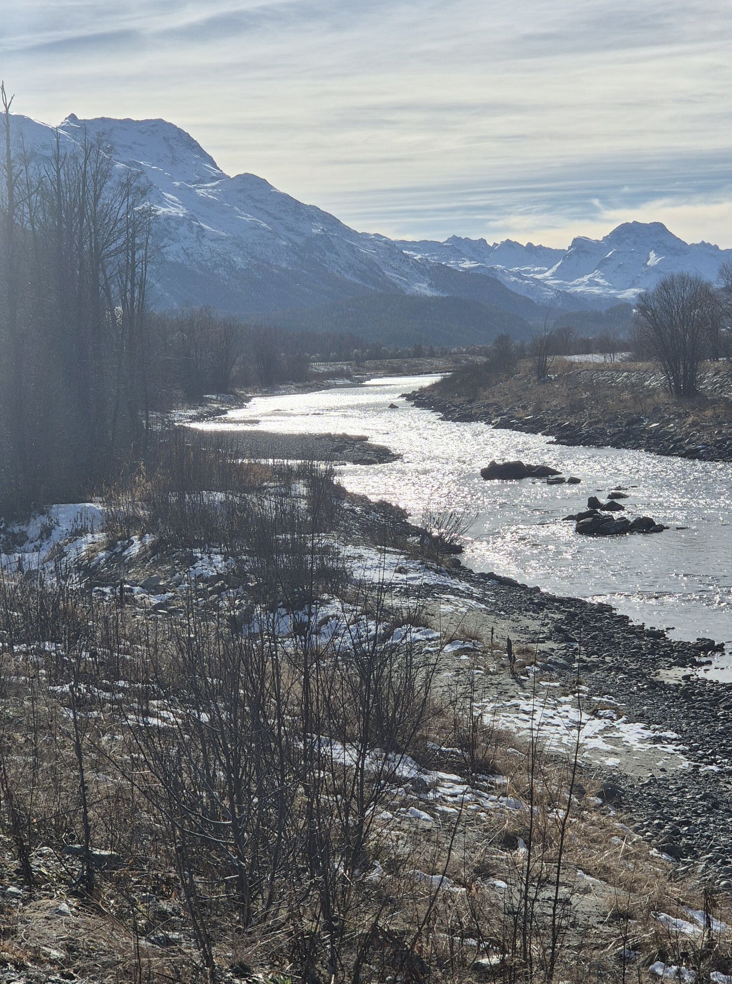

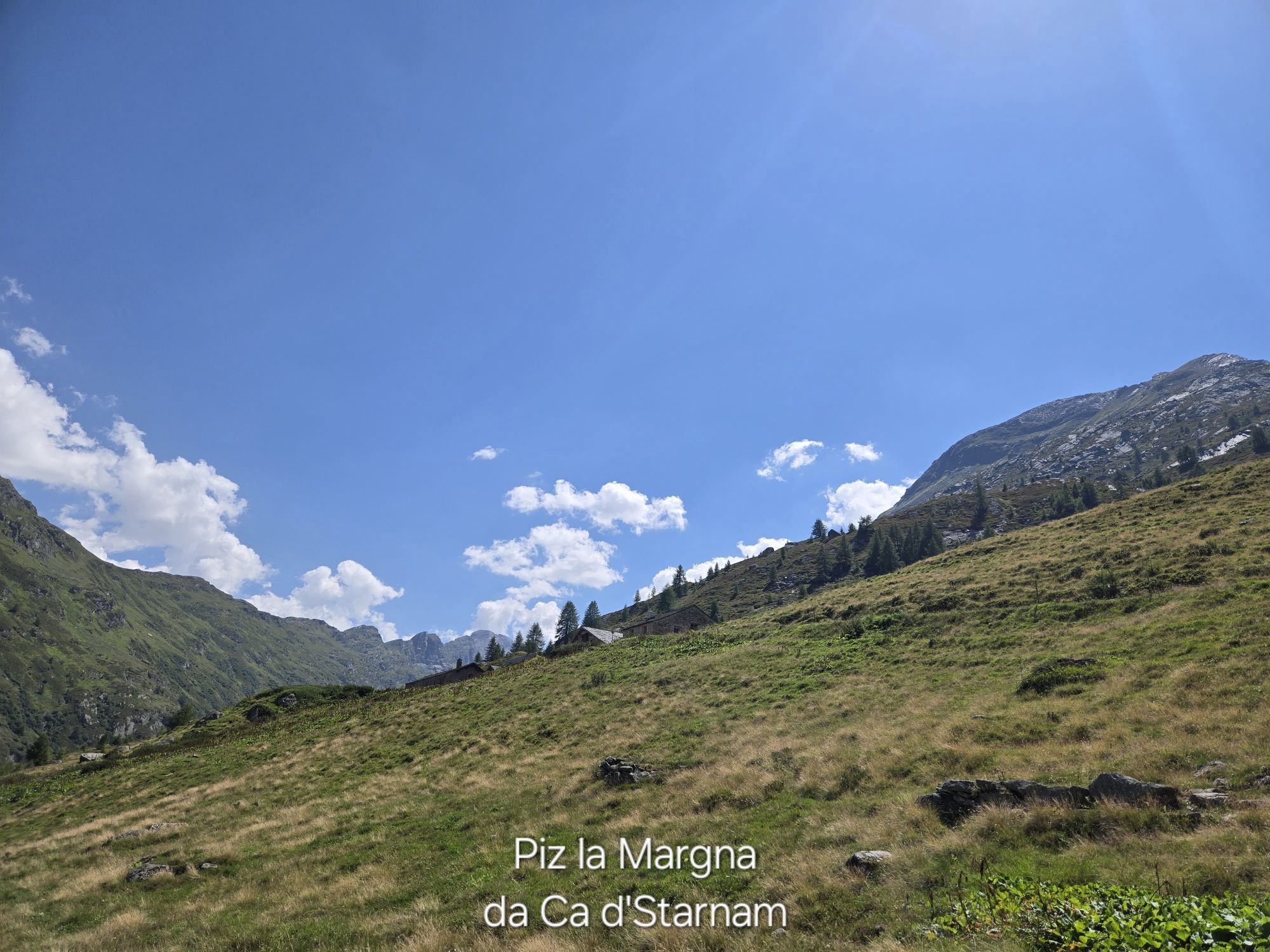
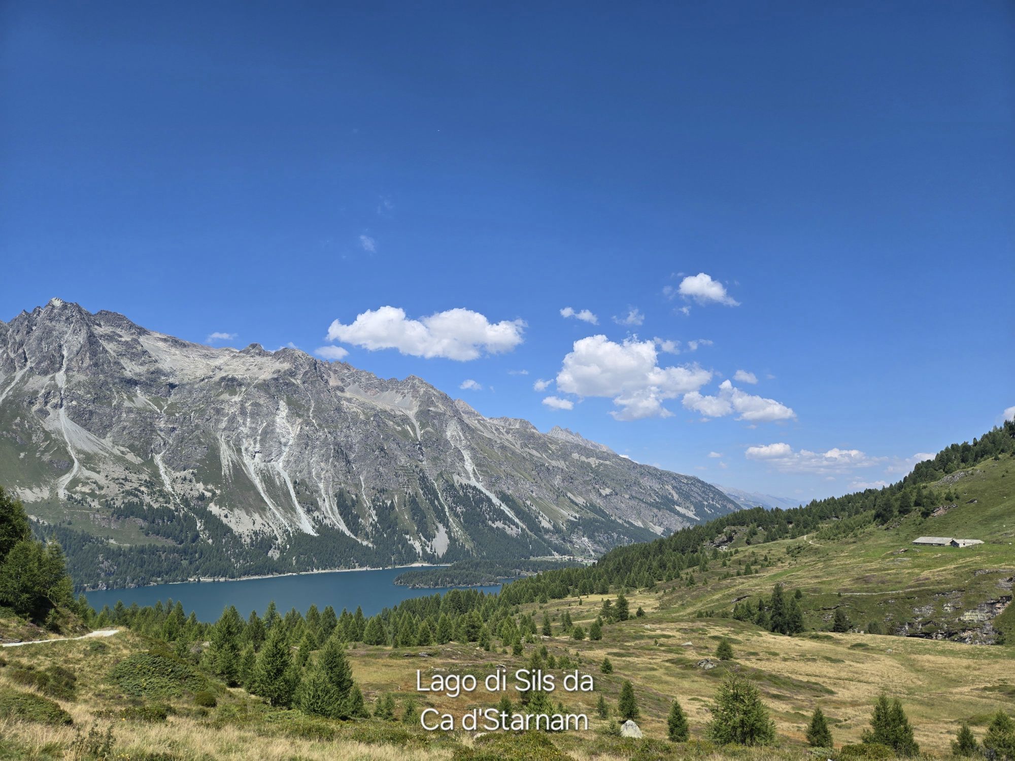


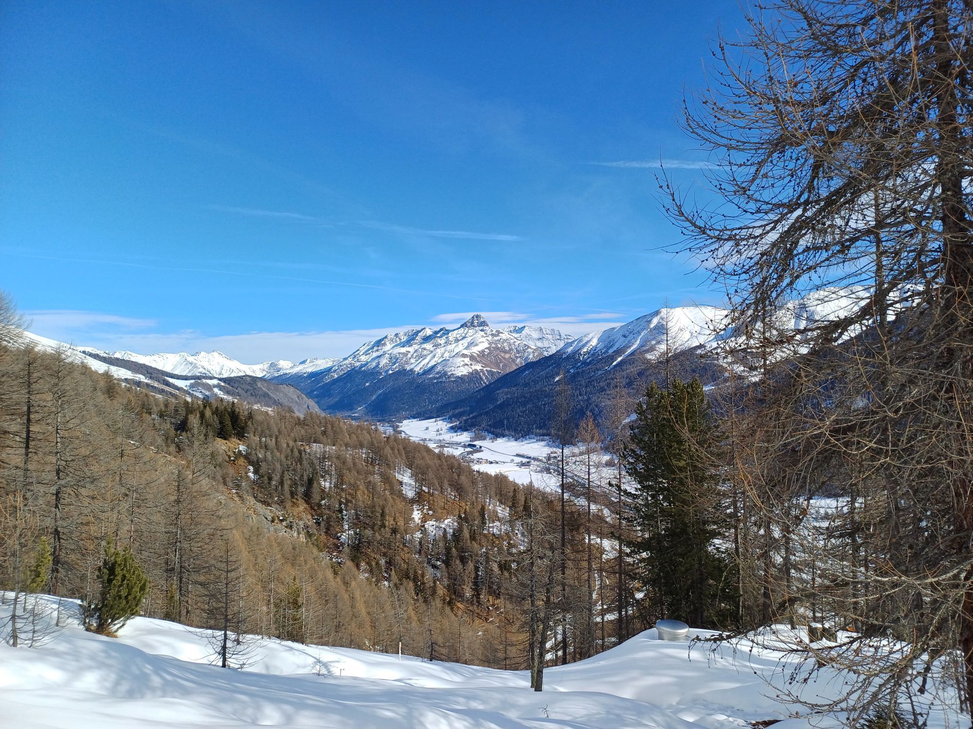
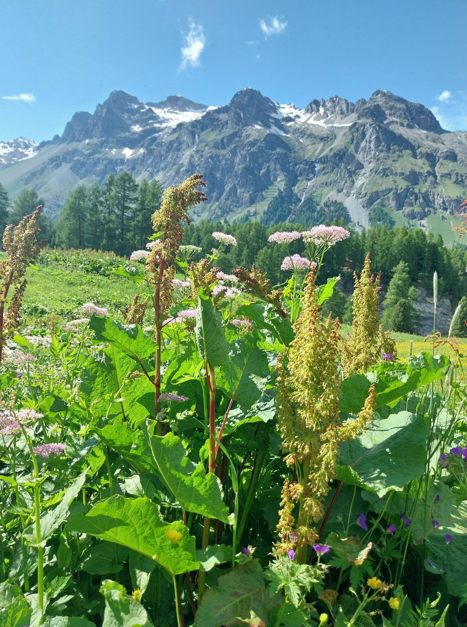


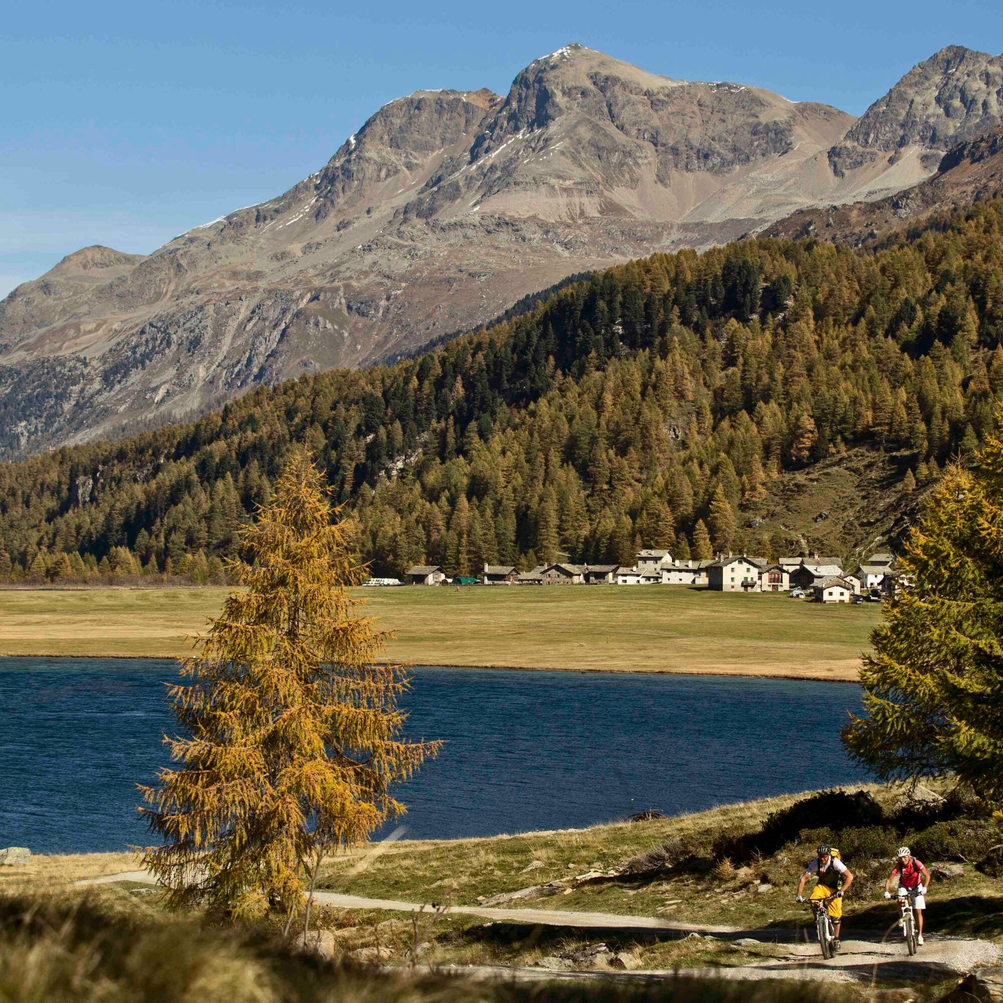
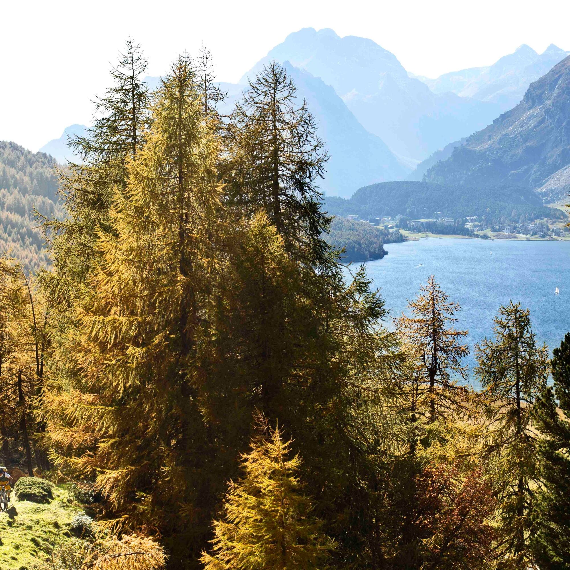
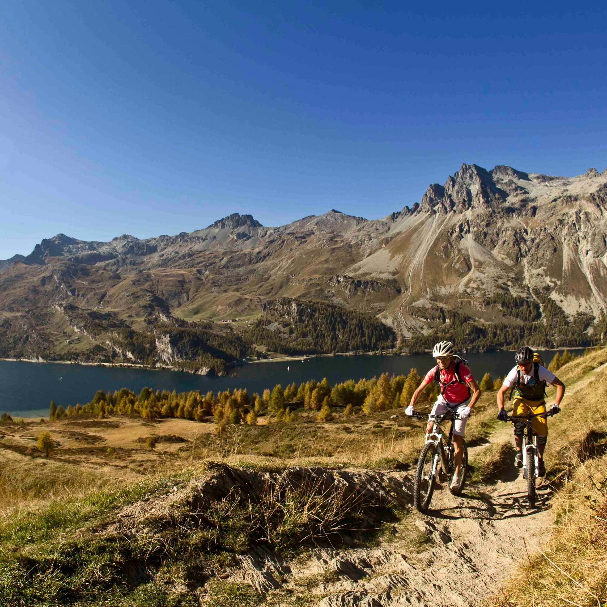
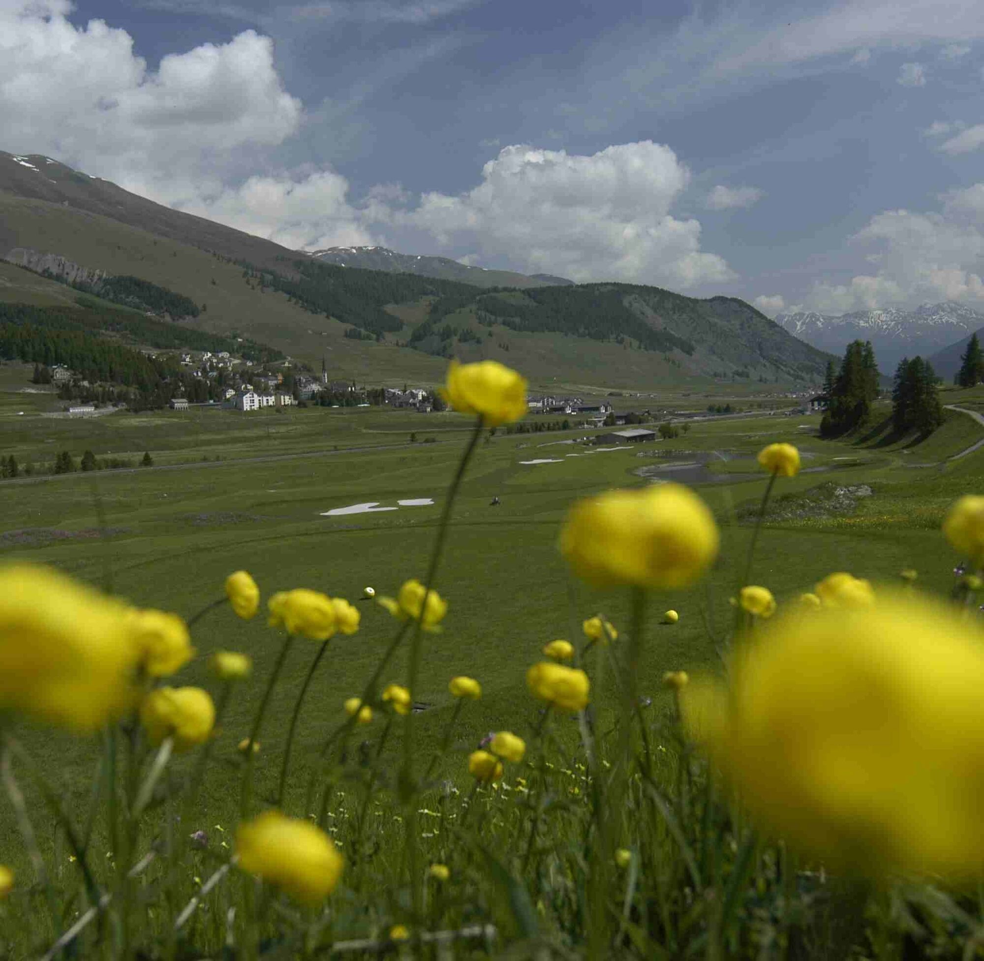
Along this route, nature is a magnificent play of colors: After the short summer season, the time of the golden Engadin autumn has come, turning the forested slopes of the Engadin high valley into brightly...
Along this route, nature is a magnificent play of colors: After the short summer season, the time of the golden Engadin autumn has come, turning the forested slopes of the Engadin high valley into brightly colored carpets.
Starting from Maloja on the right side of the lake on a wide gravel road towards Isola, up to Alp Petpreir. From the alpine deciduous forest to the characteristic larches, to the fragrant Swiss stone pine forests - here, in this first section, they all line the way.
The route continues over St. Moritz Bad, through the Stazerwald, past Samedan airfield and the golf course to the destination, the magnificent Engadin village of Zuoz.
Further Information
Engadin St. Moritz Tourism AG
Via Maistra 1
CH-7500 St. Moritz
Phone: +41 81 830 00 01
E-mail: allegra@engadin.ch
Internet: www.engadin.ch


Maloja - Alp Ca d'Starnam - Fex - Alp Prasüra - Alp Surlej - Surlej - St. Moritz - Stazerwald - Celerina - Samedan - La Punt - Zuoz
Tak
S1
This route follows the course of the Engadin Skimarathon.
Highly frequented in the high season.
Kamery internetowe z trasy
-
Corviglia
-
St. Moritz / Samedan - Muottas Muragl
-
Corvatsch
-
Marguns - Plateau Nair
-
Silvaplana - Restaurant Mulets
-
Samedo - Engadin Golf
-
St. Moritz / Samedan - Muottas Muragl
-
St. Moritz / Samedan - Muottas Muragl
-
St. Moritz / Samedan - Muottas Muragl
-
St. Moritz / Samedan - Muottas Muragl
-
Corviglia
-
Corviglia
-
Corviglia
-
Corviglia
-
Corviglia
-
Corviglia
-
Sils - Hotel Waldhaus
-
Corviglia
-
Silvaplana - Mittelstation Murtèl
-
Silvaplana - Mittelstation Murtèl
-
Silvaplana - Mittelstation Murtèl
-
Silvaplana - Mittelstation Murtèl
-
Silvaplana - Mittelstation Murtèl
-
Corvatsch
-
Corvatsch
-
Corvatsch
-
Corvatsch
-
Corvatsch
-
Corvatsch
-
Celerina - Cresta Palace
-
Samedan - Roseg Gletscher
-
Piz Nair - St. Moritz
-
Zuoz
-
Celerina - Skiwiese Provuler
-
St. Moritz / Trais Fluors Bergstation
-
La Punt - Wasserreservoir
-
La Punt - Wasserreservoir
-
La Punt - Wasserreservoir
-
La Punt - Wasserreservoir
-
St. Moritz - Berghotel Randolins
Uzyskaj wgląd
Zawsze na żywo z ponad 9 500 kamer internetowych. bergfex Jako użytkownik Pro, możesz teraz zobaczyć odpowiednie kamery internetowe dla wielu wycieczek w aplikacji wycieczki od. Pozwala to na bezpośredni podgląd aktualnych warunków.
Popularne wycieczki w okolicy
-
5,0
Morteratsch station - Boval Hut
średniWędrówka 10,5 km -
4,7
Diavolezza - Munt Pers
światłoWędrówka 3,82 km -
4,7
Panoramic route Muottas Muragl
światłoWędrówka 6,75 km -
5,0
Muottas Muragl - Segantini hut - Pontresina
średniWędrówka 6,46 km -
4,5
Pontresina - Val Roseg - Pontresina
światłoWędrówka 13,8 km -
4,7
SAC Tschierva
światłoWędrówka 24,7 km -
4,8
Around Lake St. Moritz
światłoWędrówka 4,32 km -
4,7
Morteratsch Glacier route
światłoTrasa tematyczna 2,88 km -
4,8
Alp Languard - Segantini Hut - Muottas Muragl
średniTrailrunning 6,45 km -
Muottas Muragl - Segantini Hütte - Pontresina
średniWędrówka 17,5 km
Wędrówki i tropienie


Nie przegap ofert i inspiracji na następne wakacje
Twój adres e-mail została dodana do listy mailingowej.





