


Bernina Express (673)
Poziom trudności: S2
Zdjęcia naszych użytkowników

 © Ivano MerelliUtworzono dnia 20.08.2024
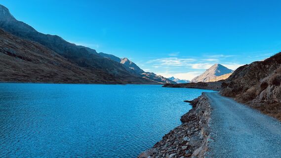
 © Christian PhilippiUtworzono dnia 19.10.2022
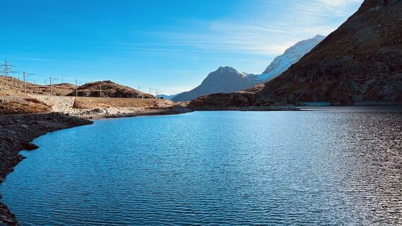 © Christian PhilippiUtworzono dnia 19.10.2022
 © Pierre SmitsUtworzono dnia 25.01.2026
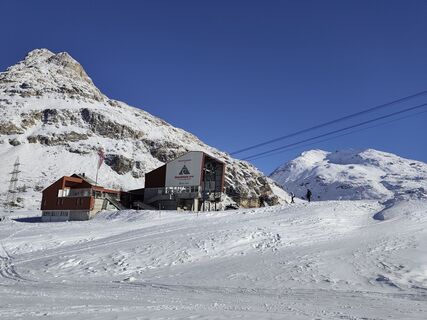 © Guido LovatiUtworzono dnia 11.01.2026
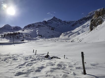 © Guido LovatiUtworzono dnia 11.01.2026
 © Guido LovatiUtworzono dnia 11.01.2026
 © Guido LovatiUtworzono dnia 11.01.2026
 © Guido LovatiUtworzono dnia 11.01.2026
 © Thomi WUtworzono dnia 10.11.2025
 © Thomi WUtworzono dnia 06.11.2025
 © Thomi WUtworzono dnia 06.11.2025
 © Thomi WUtworzono dnia 06.11.2025
 © Thomi WUtworzono dnia 06.11.2025
 © Thomi WUtworzono dnia 06.11.2025
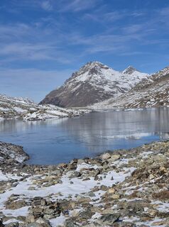 © Thomi WUtworzono dnia 06.11.2025
 © Thomi WUtworzono dnia 06.11.2025
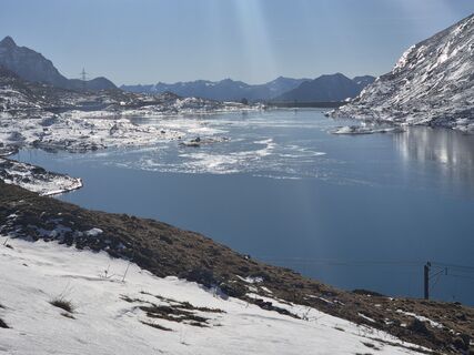 © Thomi WUtworzono dnia 06.11.2025
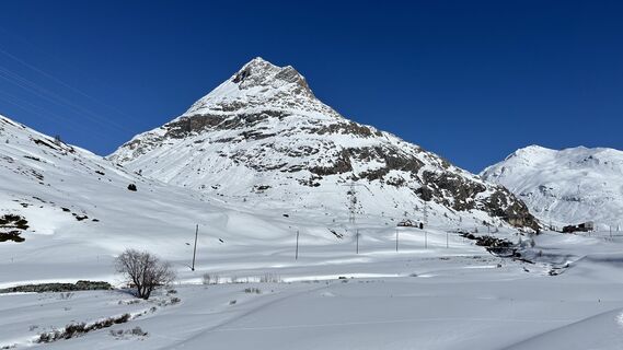
 © Robert RuckstuhlUtworzono dnia 20.03.2025
 © Harry Kooijman 1Utworzono dnia 02.07.2024
 © Harry Kooijman 1Utworzono dnia 02.07.2024
 © sander dijkstraUtworzono dnia 02.07.2024
 © Harry Kooijman 1Utworzono dnia 02.07.2024
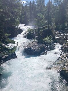 © Harry Kooijman 1Utworzono dnia 02.07.2024
 © sander dijkstraUtworzono dnia 02.07.2024
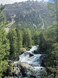 © sander dijkstraUtworzono dnia 02.07.2024
 © sander dijkstraUtworzono dnia 02.07.2024
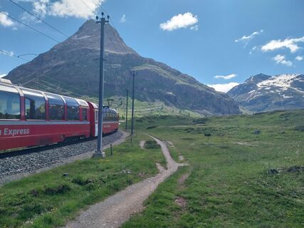 © Harry Kooijman 1Utworzono dnia 02.07.2024
 © sander dijkstraUtworzono dnia 02.07.2024
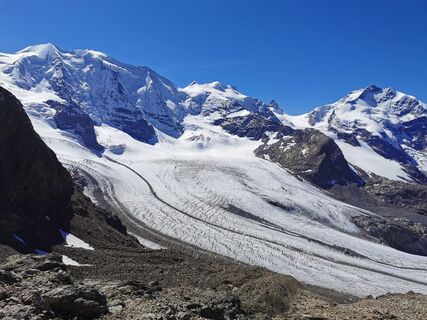
 © Chnorli-FurzUtworzono dnia 09.09.2020
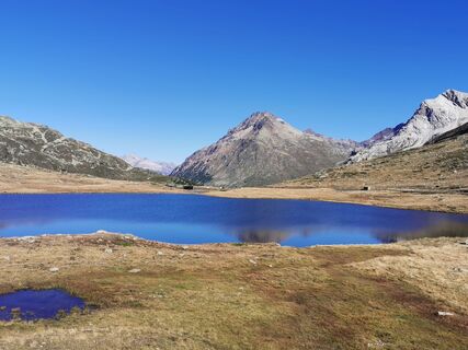 © Chnorli-FurzUtworzono dnia 09.09.2020
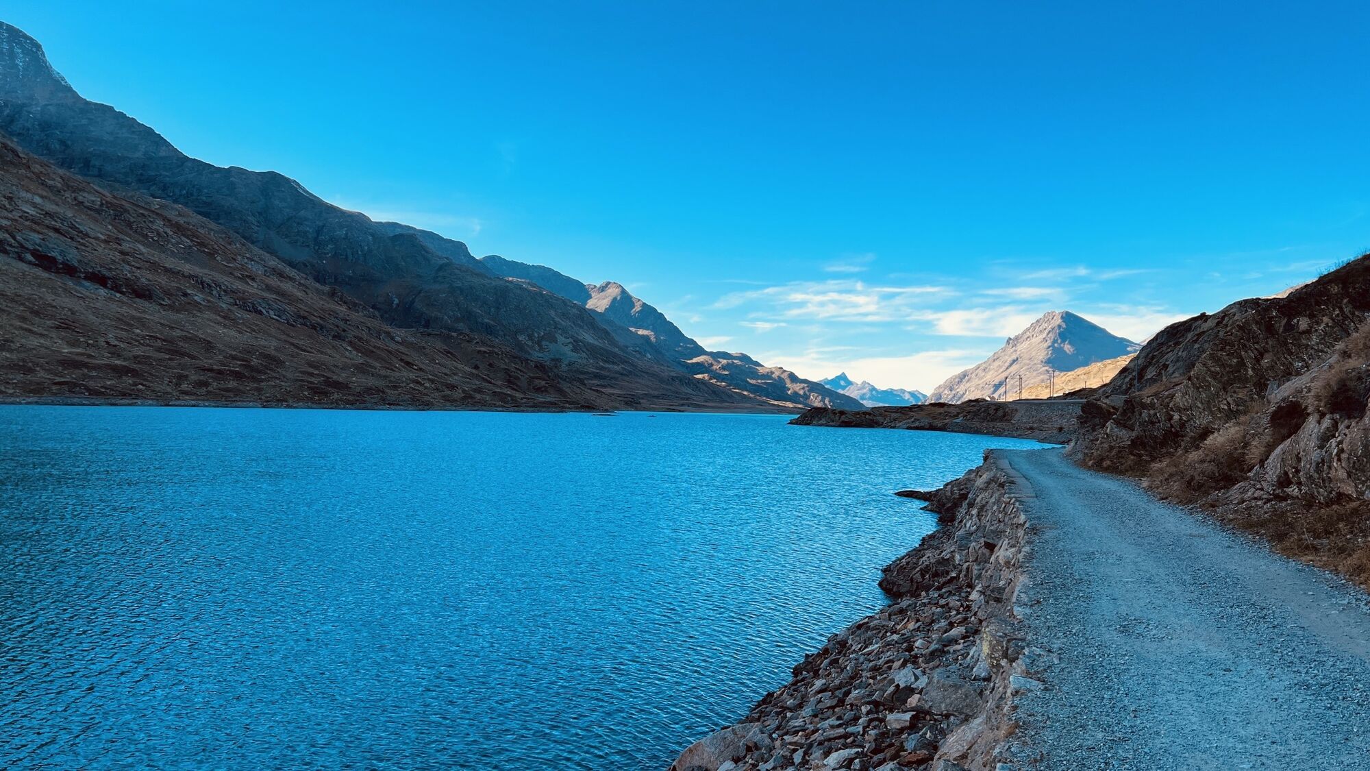
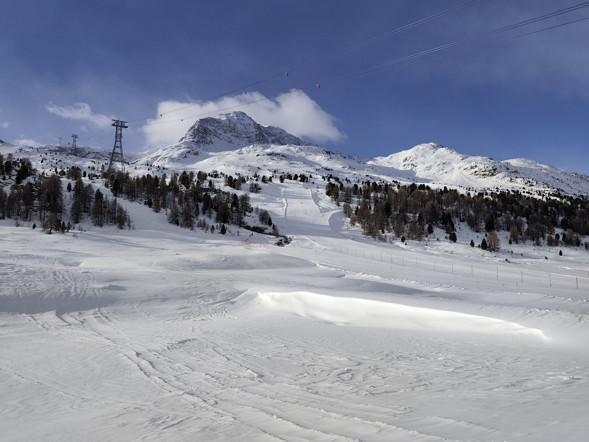

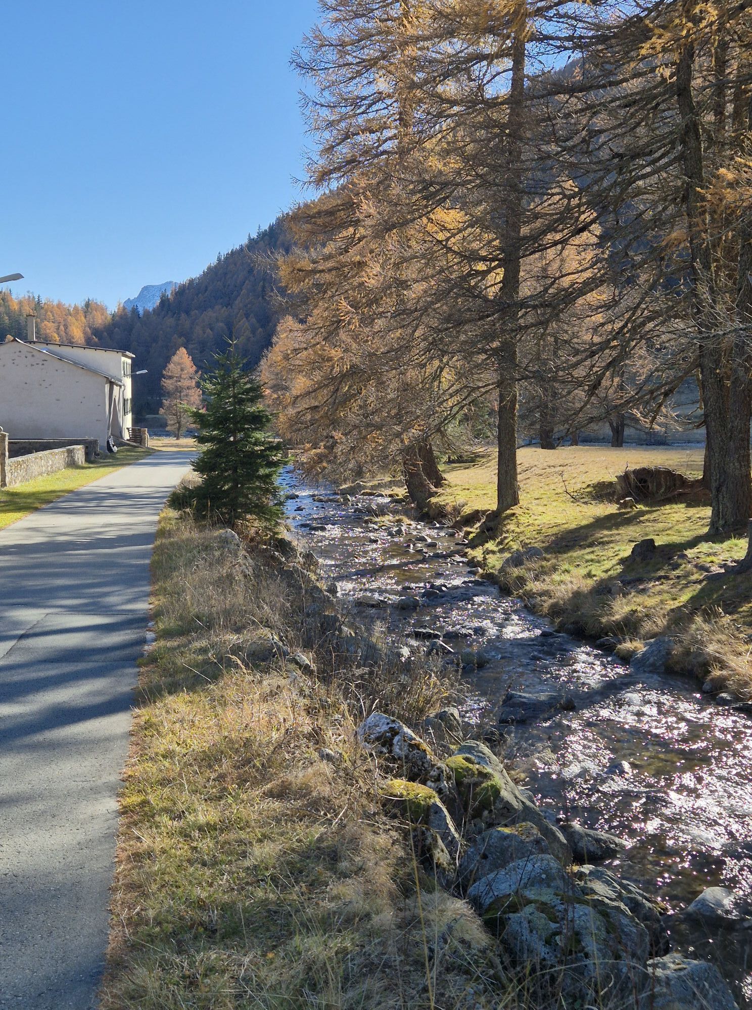
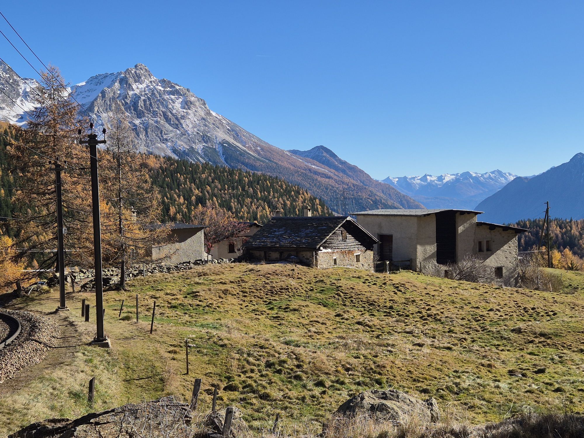

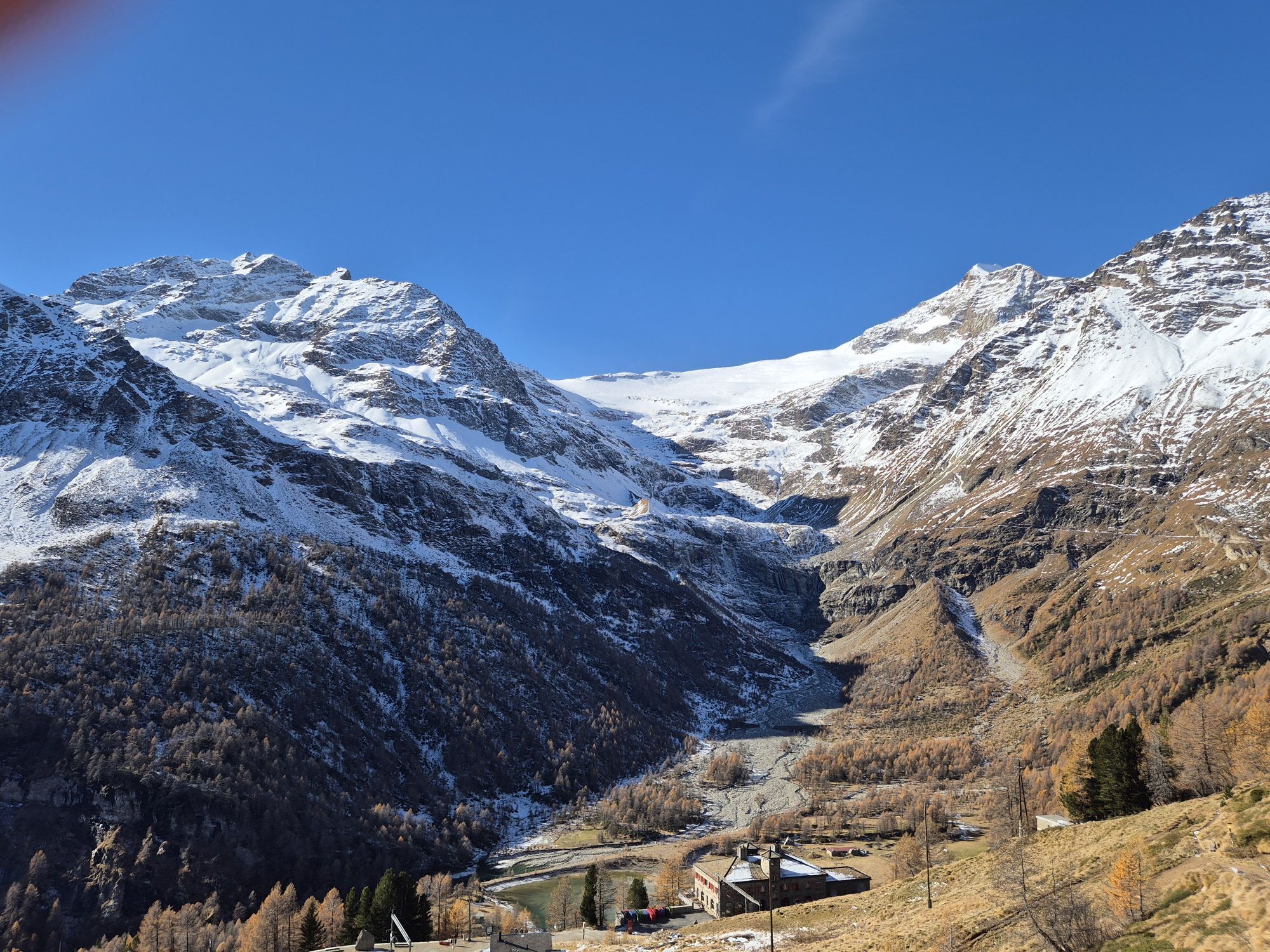


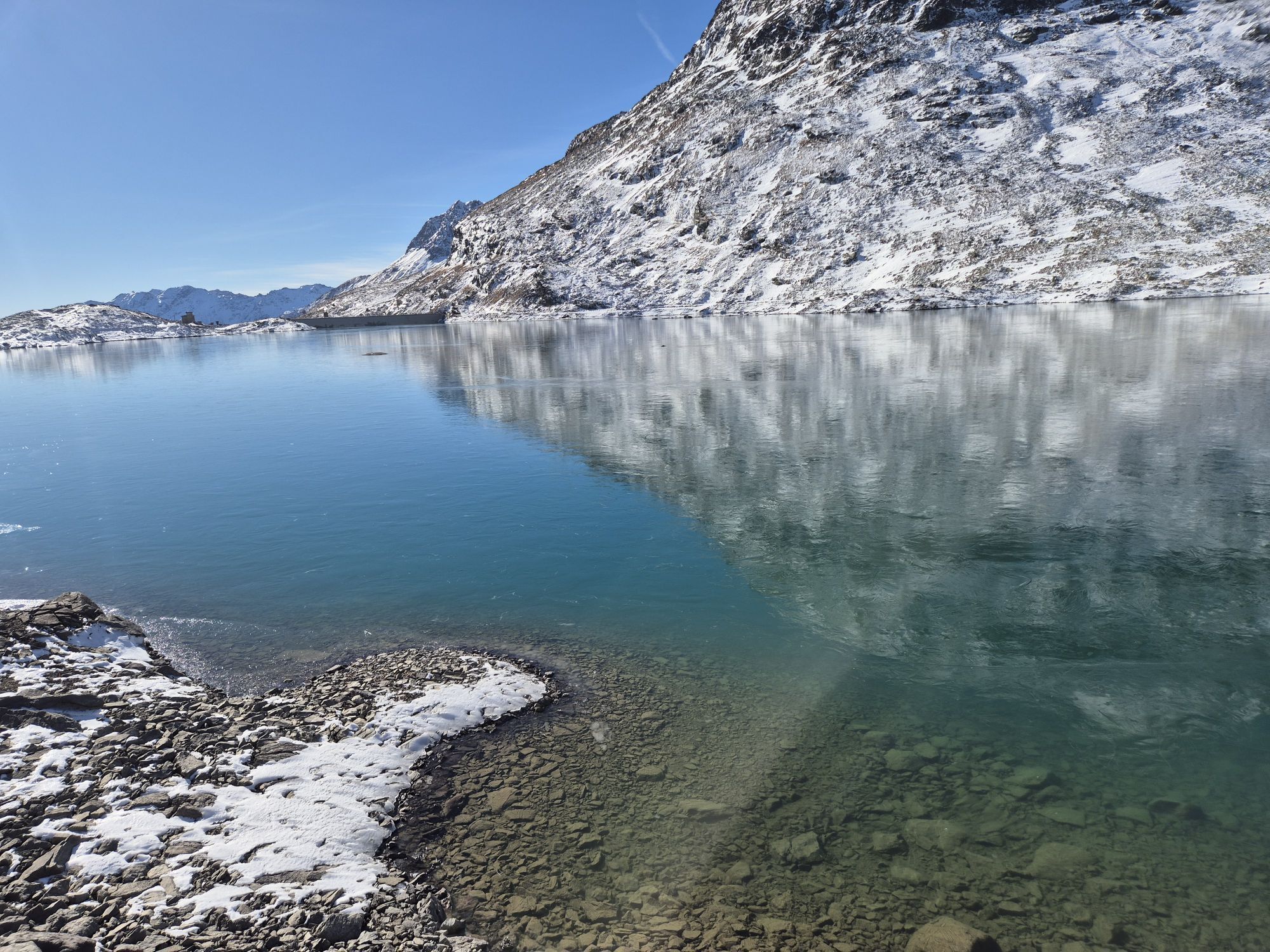


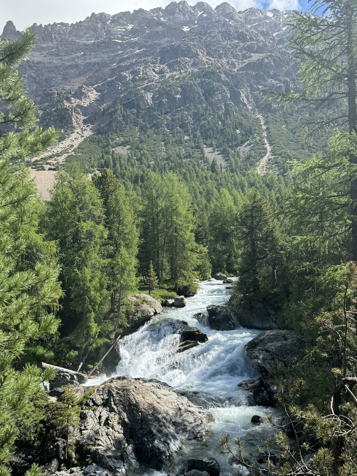
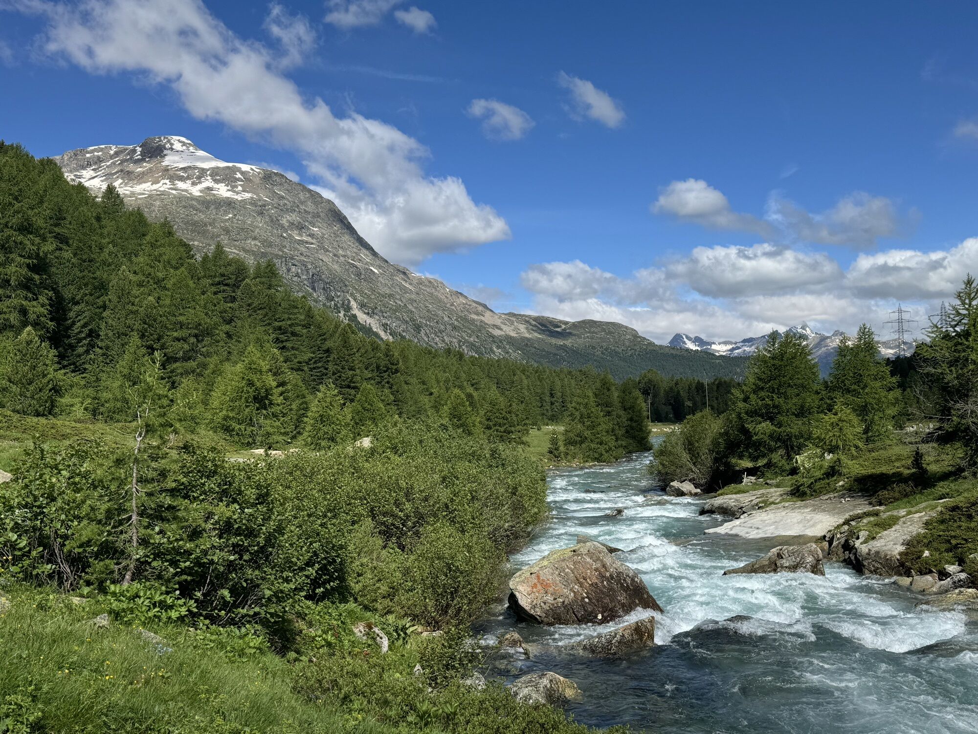


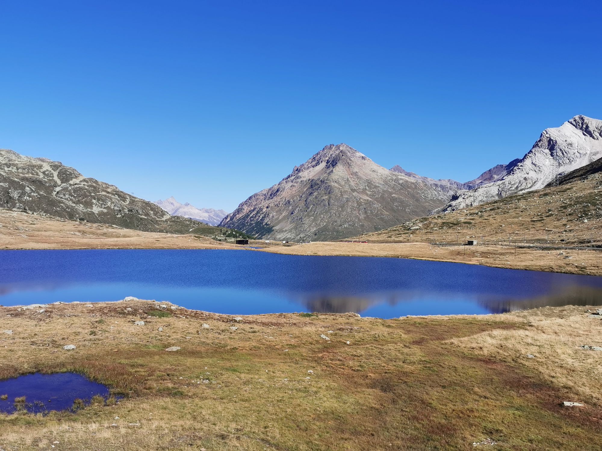
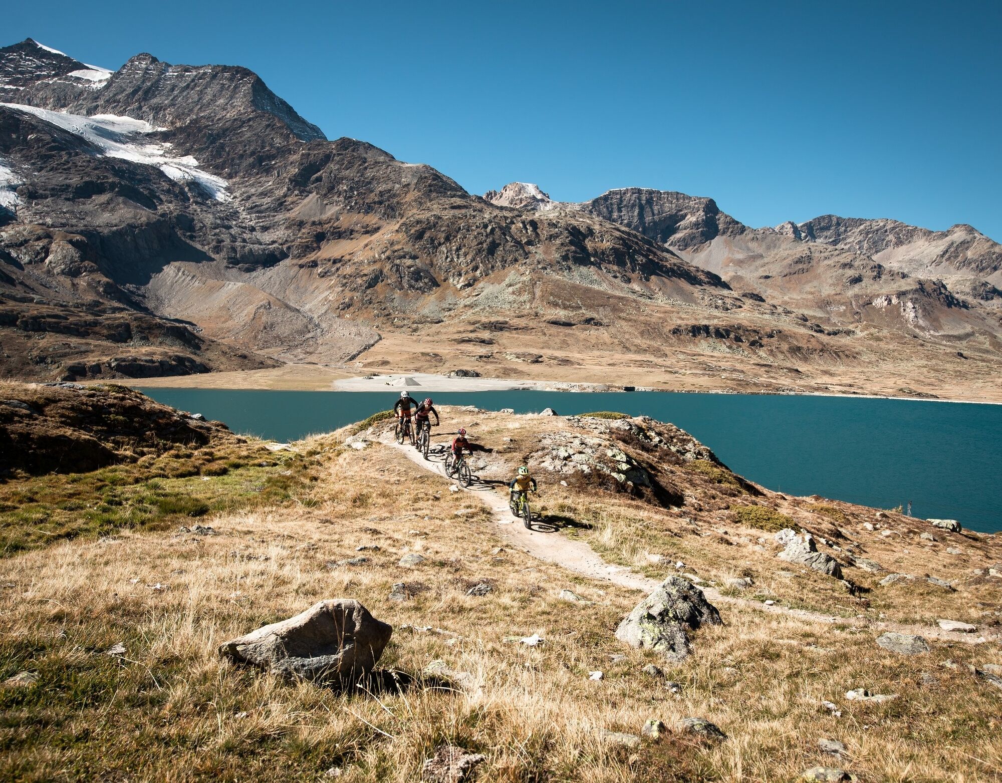
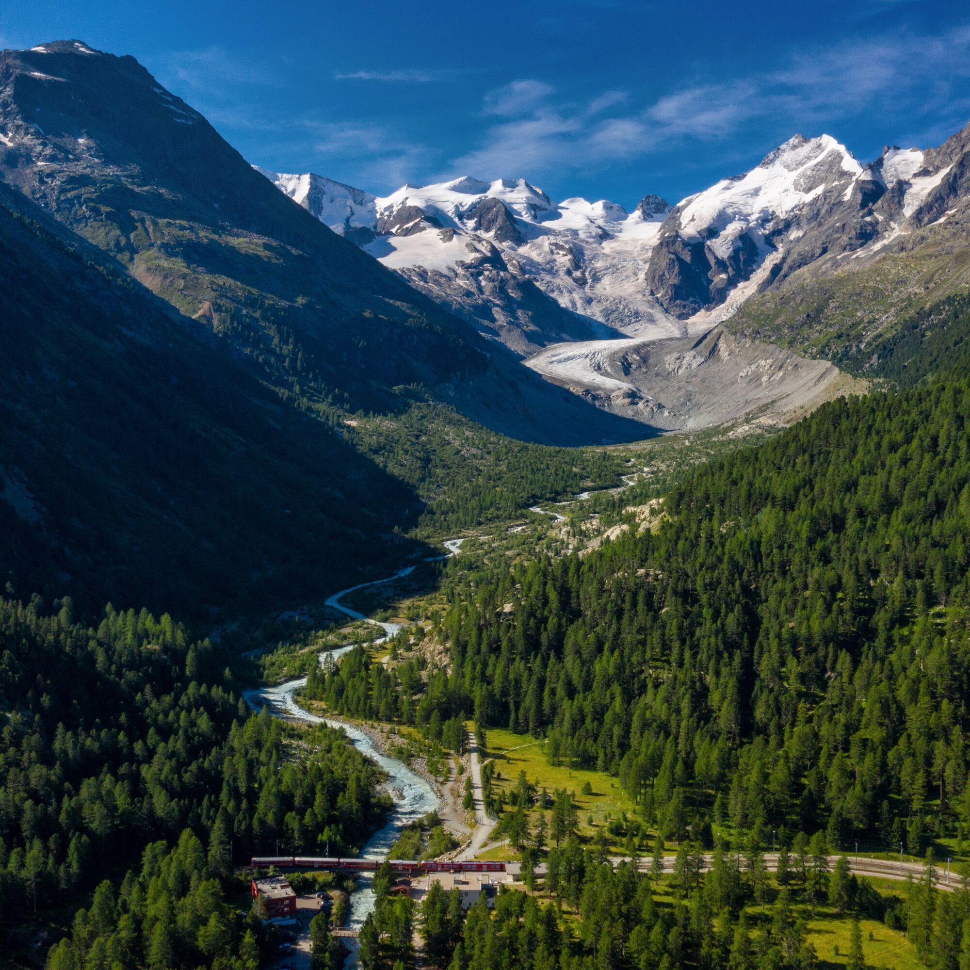
From Samedan, the route leads along the Bernina Valley through uniquely beautiful landscapes, repeatedly offering views of the impressive glaciers of the Bernina massif. At the pass summit, it passes left...
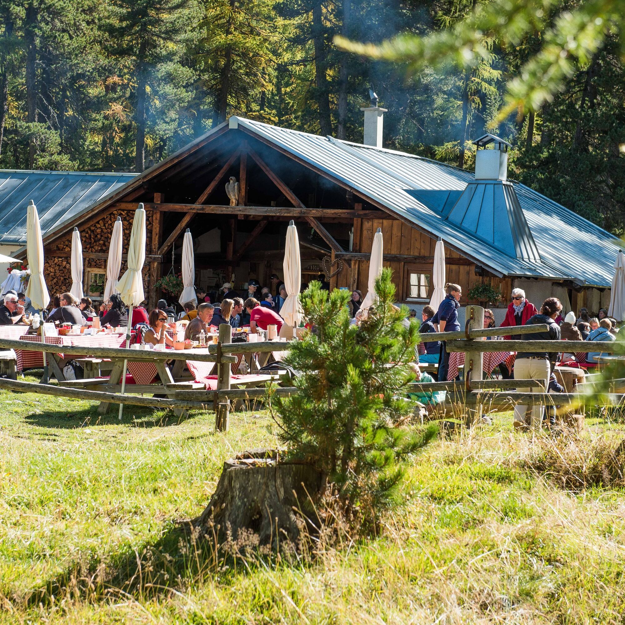
From Samedan, the route leads along the Bernina Valley through uniquely beautiful landscapes, repeatedly offering views of the impressive glaciers of the Bernina massif. At the pass summit, it passes left of Lago Bianco before the descent into Valposchiavo begins. After just a few meters of descent, you can feel and smell the southern climate and changed vegetation. The terrace of the Belvedere Restaurant or the buffet at Alp Grüm station invite you to enjoy a break and catch your breath.
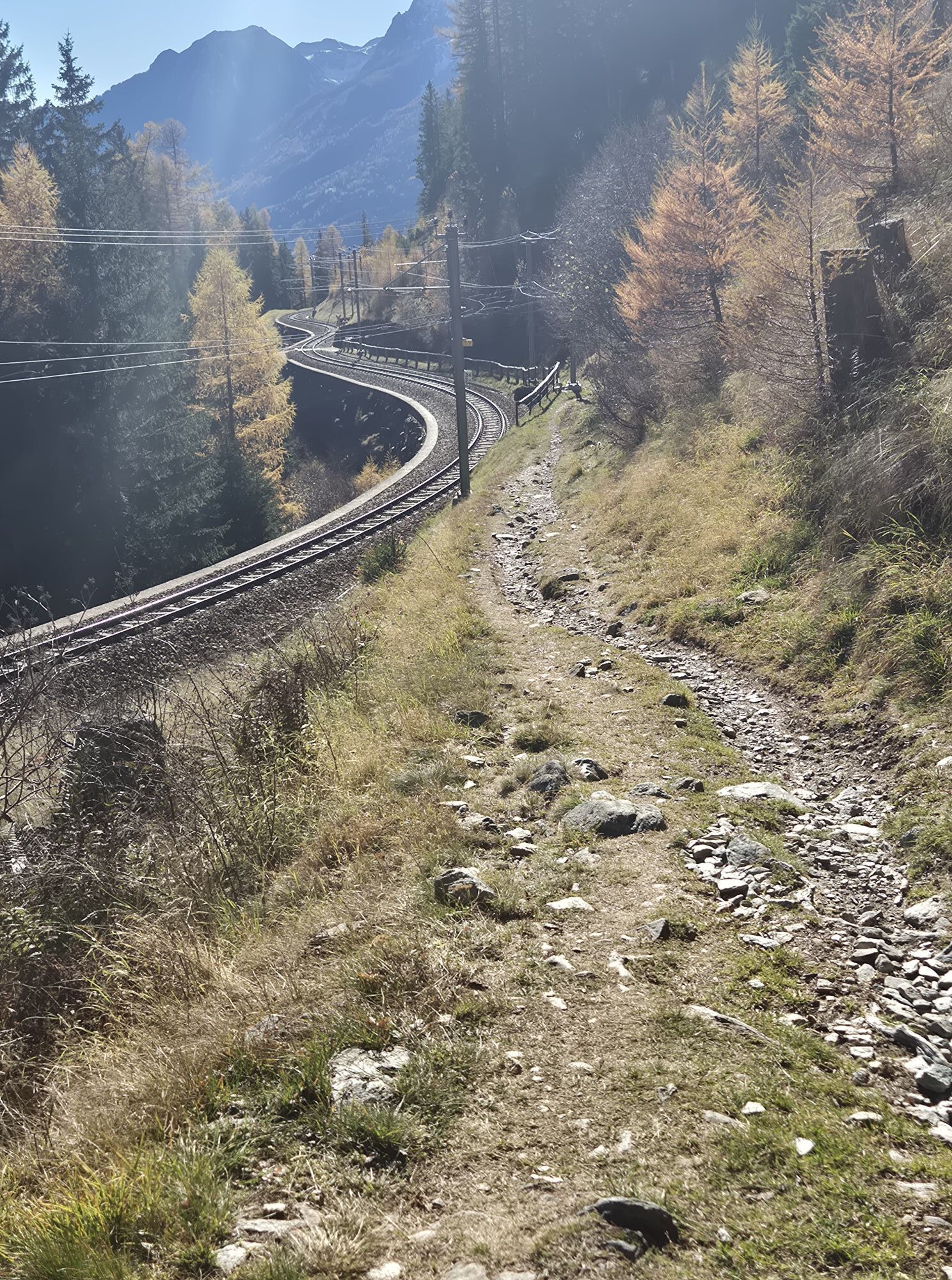
From Cavaglia, you can follow the signposted route, which leads over gravel and asphalt roads, or choose the technically more demanding variant along the railway track and the old path.
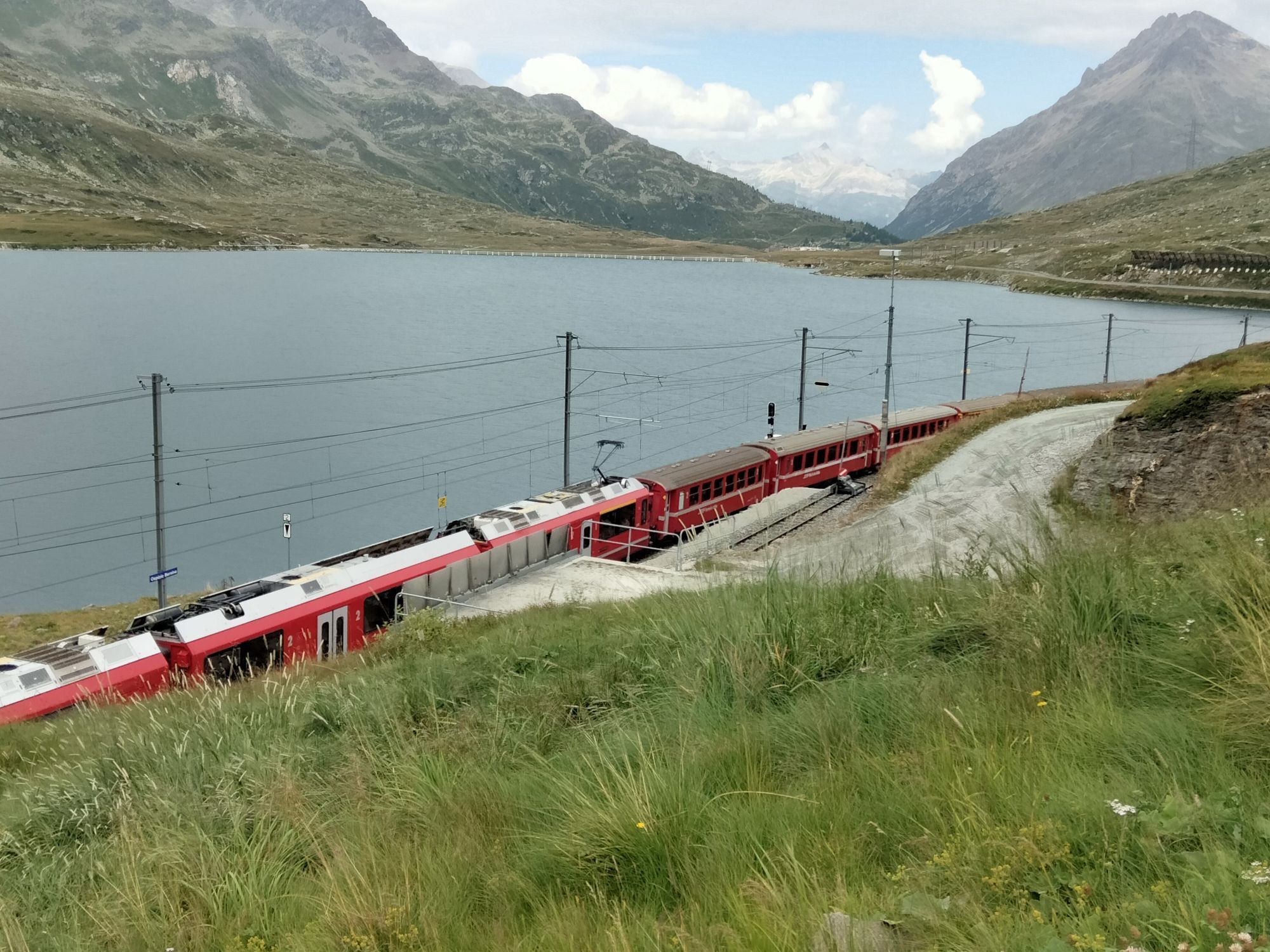
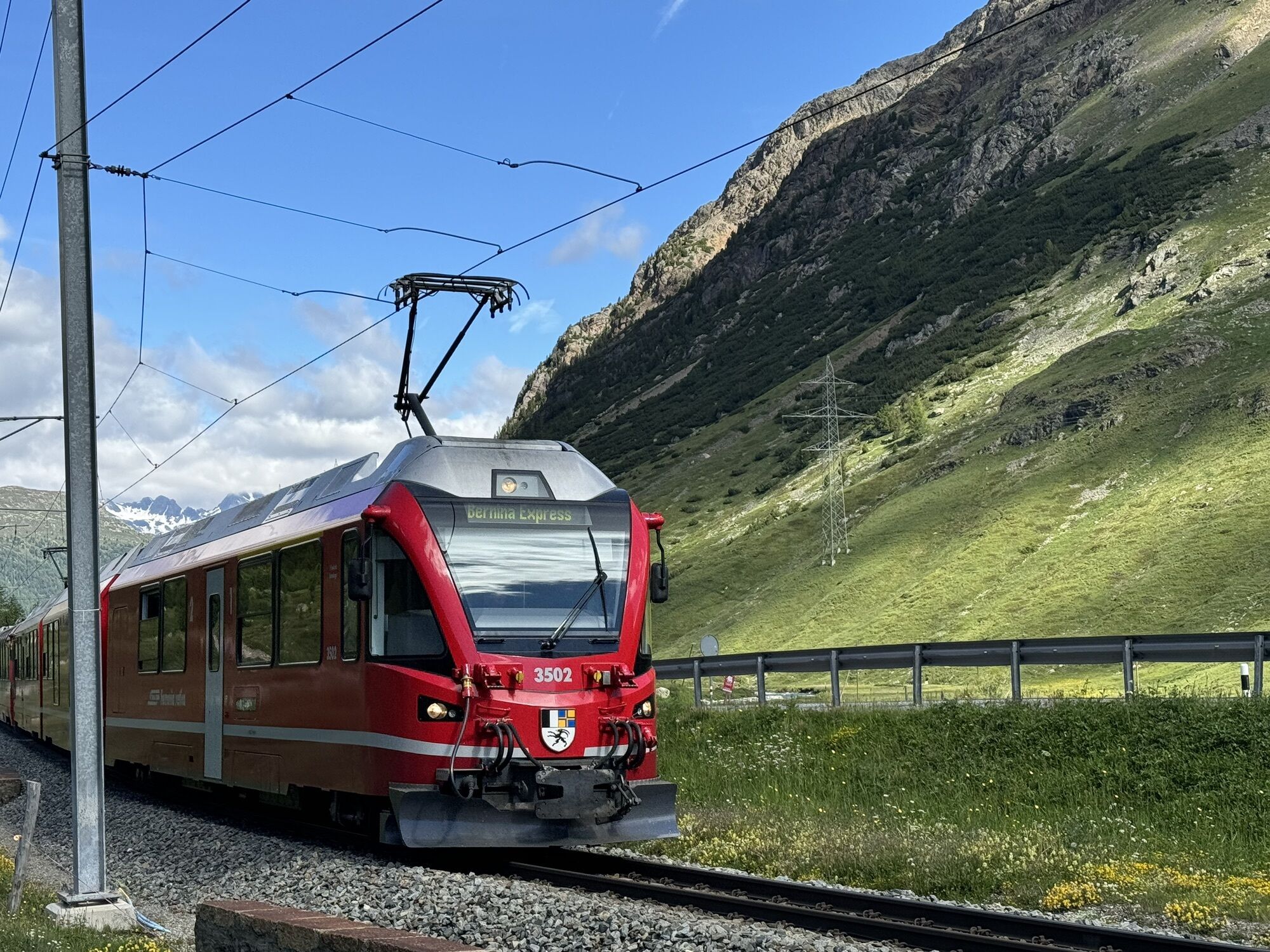
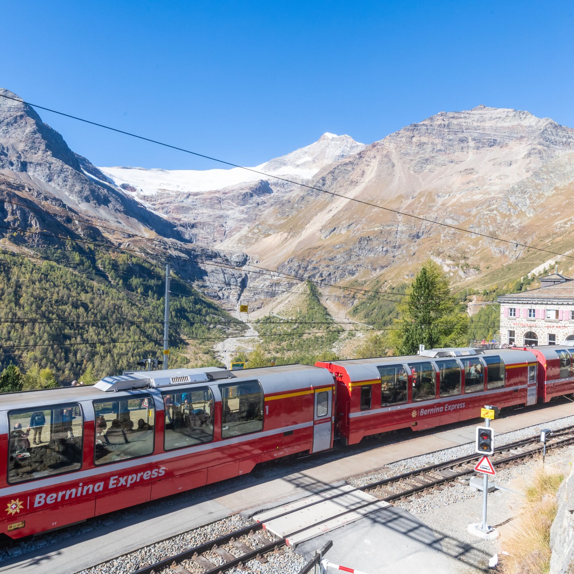
On the train ride from Poschiavo to Bernina Pass, you get an impression of the pioneering spirit of the people who built this route over 100 years ago. If possible, it is worth taking a seat in an open carriage - convertible.
The flowing descent from Bernina Pass to Pontresina is the crowning finale of this varied route. By the way: In God Chapütschöl, Pontresina took the opportunity to lead the route for uphill and downhill on separate paths. While the descent trail leads to the valley over rhythmic waves and smooth berms, the uphill trail winds through the picturesque forest with constant changes of direction and varying steep climbs. It is the first uphill trail in the Engadin specifically adapted for uphill riding.
Further information
Engadin St. Moritz Tourism AG
Via Maistra 1
CH-7500 St. Moritz
Tel: +41 81 830 00 01
E-mail: allegra@engadin.ch
Internet: www.engadin.ch
Samedan - Pontresina - Morteratsch - Bernina Pass - Alp Grüm - Cavaglia - Poschiavo
Tak
Tak
S2
The express trains «Bernina Express» with their panoramic carriages do not offer the possibility to transport bikes. All other trains are equipped for mountain bike transport. Please note the current timetable!
Treat yourself to a piece of homemade cake on the panoramic terrace of the Belvedere Restaurant.
Kamery internetowe z trasy
Corviglia
St. Moritz / Samedan - Muottas Muragl
Camping Morteratsch
Samedo - Engadin Golf
St. Moritz / Samedan - Muottas Muragl
St. Moritz / Samedan - Muottas Muragl
St. Moritz / Samedan - Muottas Muragl
St. Moritz / Samedan - Muottas Muragl
Berninapass
Corviglia
Corviglia
Corviglia
Corviglia
Corviglia
Corviglia
Corviglia
Diavolezza Bergstation
Diavolezza Bergstation
Diavolezza Bergstation
Diavolezza Bergstation
Diavolezza Bergstation
Diavolezza Bergstation
Diavolezza Bergstation
Sassalbo
Le Prese
Diavolezza Bergstation
Celerina - Cresta Palace
Celerina - Skiwiese Provuler
St. Moritz / Trais Fluors Bergstation
Samedan - Engadin Airport
Bergstation Lagalb
Bergstation Lagalb
Bergstation Lagalb
Bergstation Lagalb
Bergstation Lagalb
Bergstation Lagalb
Trais Fluors Bergstation
Trais Fluors Bergstation
Trais Fluors Bergstation
Trais Fluors Bergstation
Popularne wycieczki w okolicy
- 4,7
Diavolezza - Munt Pers
światłoWędrówka 3,82 km - 5,0
Morteratsch station - Boval Hut
średniWędrówka 10,5 km - 5,0
Mountain hike to Lagh da Saoseo
ciężkiWędrówka 15,0 km - 5,0
Muottas Muragl - Segantini hut - Pontresina
średniWędrówka 6,46 km - 4,4
Panoramic route Muottas Muragl
światłoWędrówka 6,75 km - 4,5
Pontresina - Val Roseg - Pontresina
światłoWędrówka 13,8 km - 4,7
SAC Tschierva
światłoWędrówka 24,7 km - 4,8
Morteratsch Glacier route
światłoTrasa tematyczna 2,88 km Muottas Muragl - Segantini Hütte - Pontresina
średniWędrówka 17,5 km- 5,0
Lagalb - Val Minor - Motta Bianca - Lagalb
średniWędrówka 9,80 km
Wędrówki i tropienie


Nie przegap ofert i inspiracji na następne wakacje
Twój adres e-mail została dodana do listy mailingowej.